bobspirko.ca | Home | Canada Trips | US Trips | Hiking | Snowshoeing | MAP | About
“Willow Creek Knoll”
Willow Creek Public Land Use Zone, Alberta
December 3, 2020
Distance: 11.8 km (7.3 mi)
Cumulative Elevation Gain: 330 m (1083 ft)
Taking advantage of remarkably warm temperatures, Dinah and I hiked up a small hill. Willow Creek Knoll, as I call it, is accessed by following ATV trails; there's no bushwhacking or offtrail hiking.
Within minutes of starting up the trail that runs alongside Willow Creek, we grew warm and doffed our jackets. Winter was only a couple of weeks away, yet it was so balmy, our jackets, gloves and toques remained in our packs for the duration of the trip.
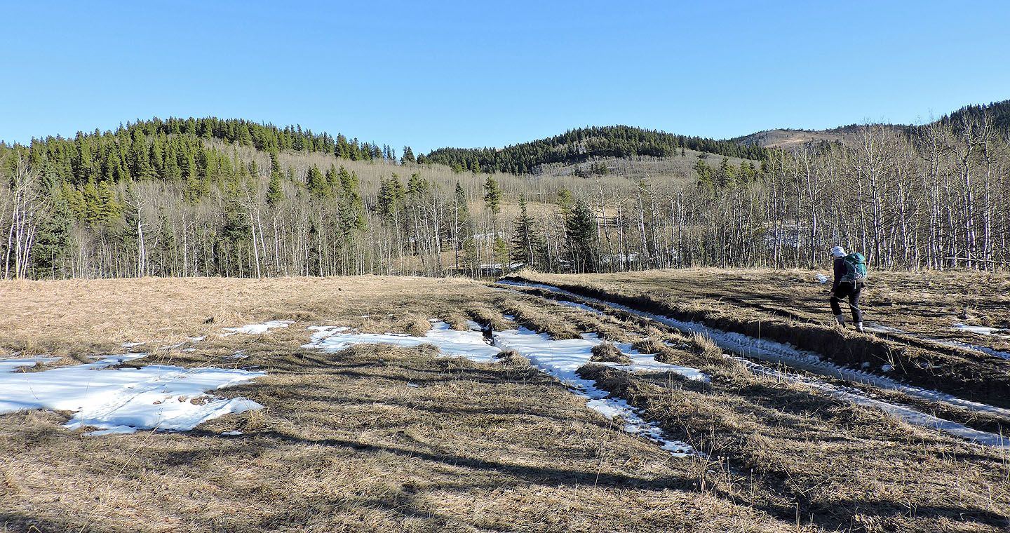
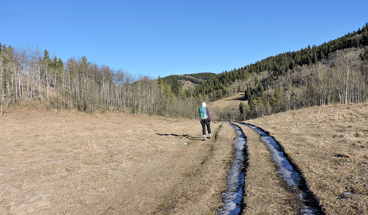
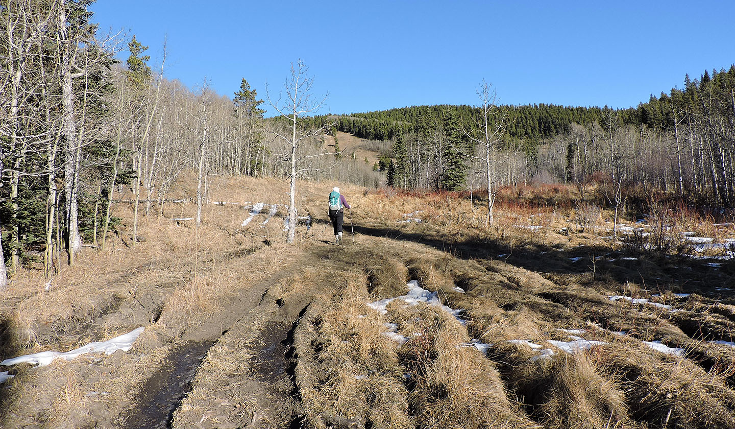
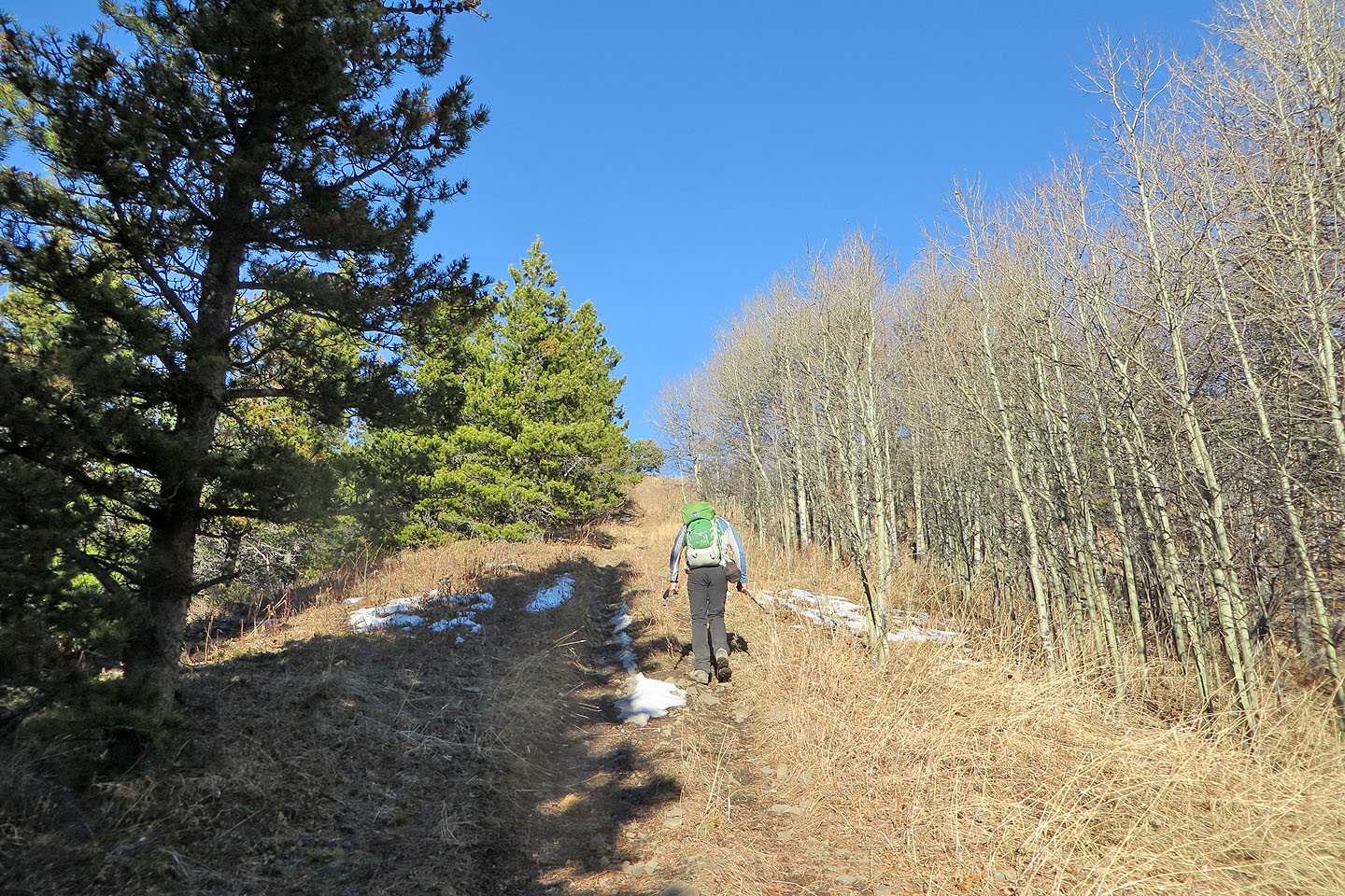
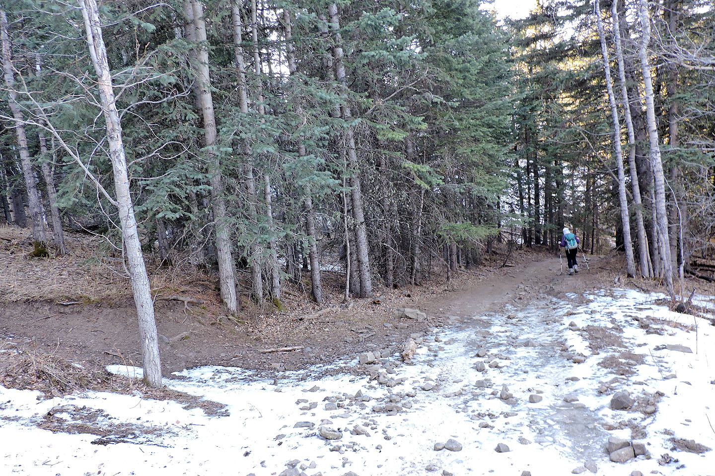
As we walked up the broad trail lined with dry meadows, we ignored the numerous side trails until we covered 2.3 km. Here the trail trifurcated. We took the left trail as it curled left and climbed a short slope.
We were hiking in an OHV area on a beautiful day. The area is riddled with ATV trails, yet it was eerily quiet, like walking downtown Calgary at midday and not hearing or seeing a car. Not even a breath of wind broke the silence.
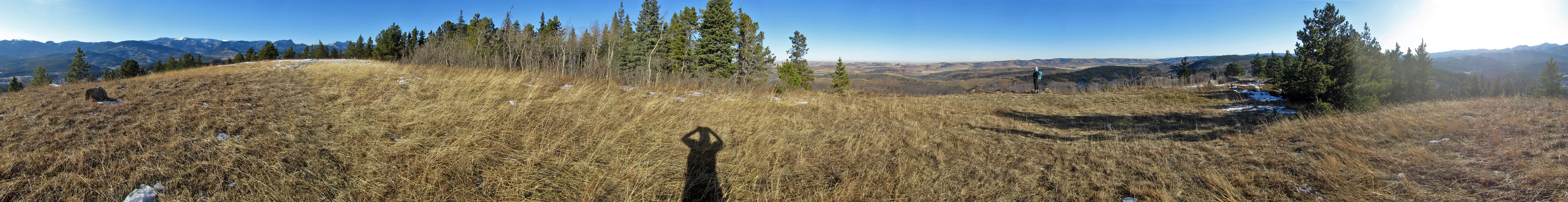
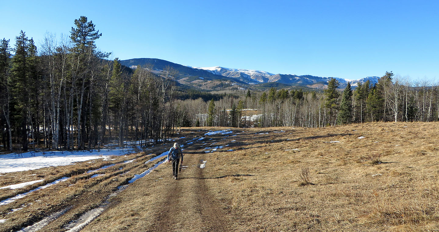
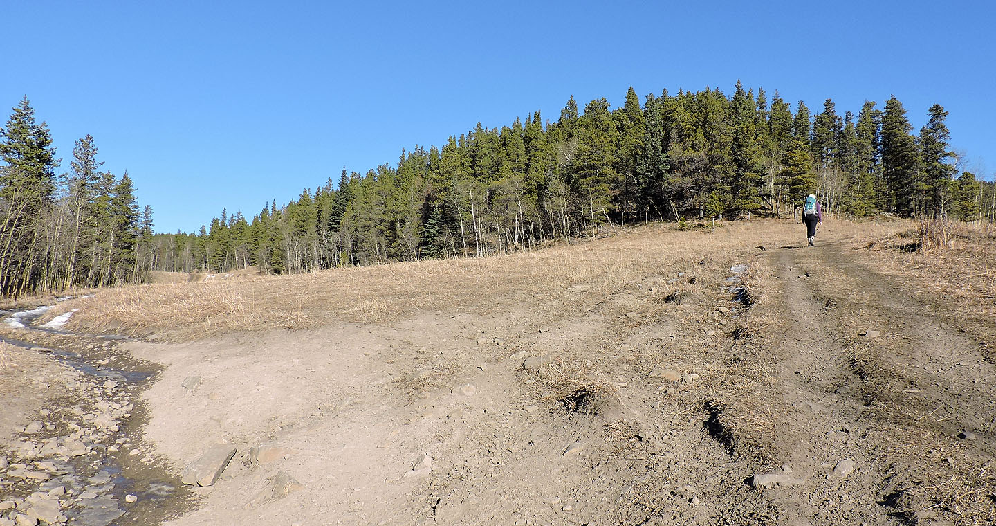
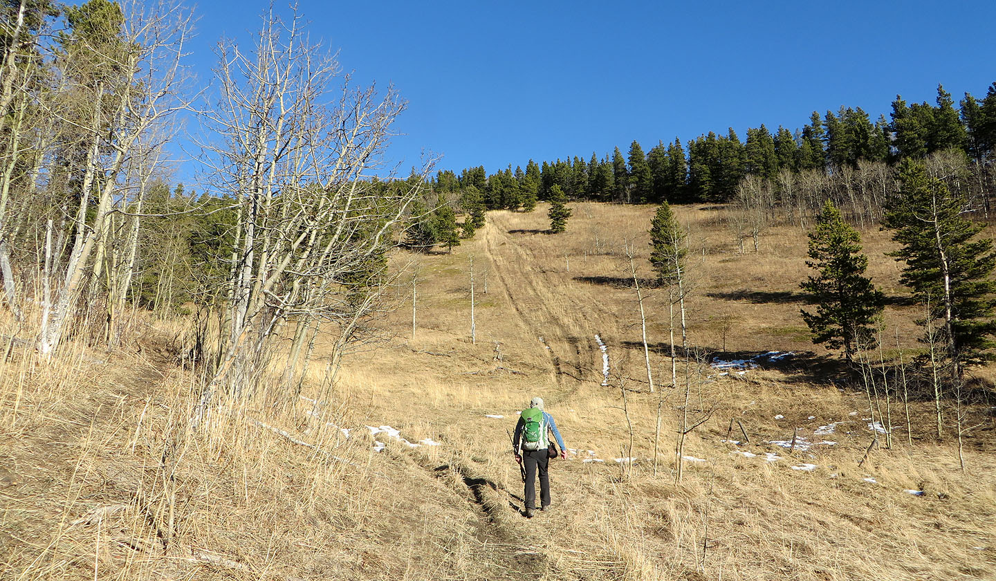
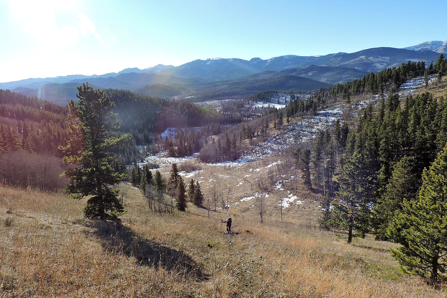
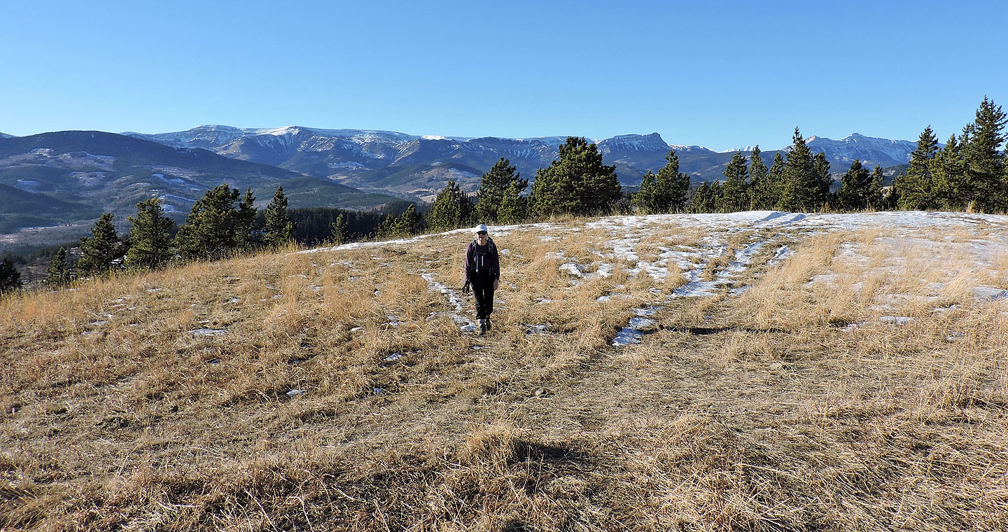
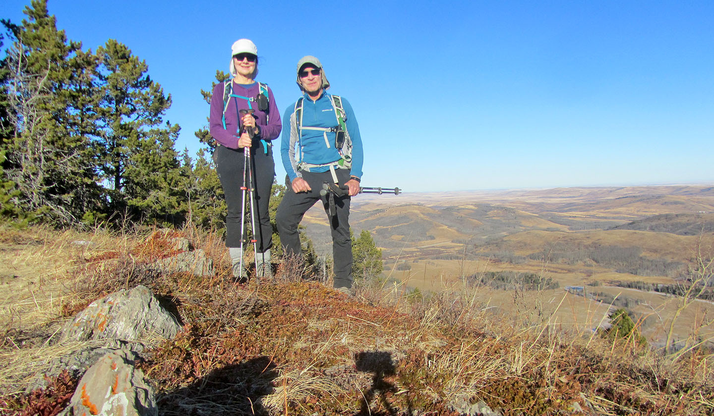
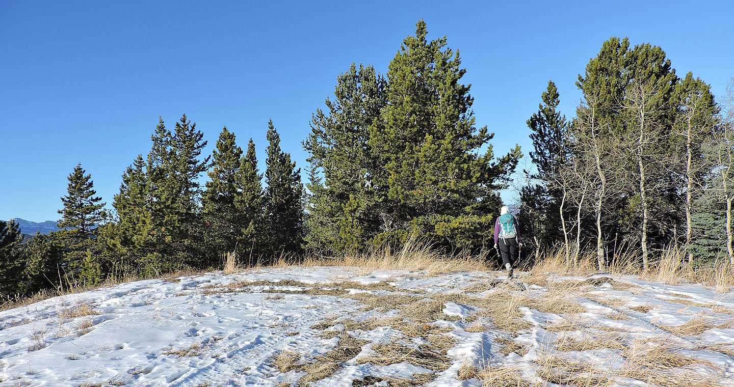
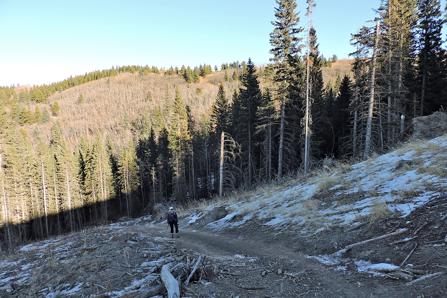
We cruised up the trail, crossed a couple of frozen creeks before reaching the base of a steep, open slope. As we climbed the trail, a scene of green hills and snow-capped mountains unfolded behind us. When the trail hit a T-intersection, we turned left and soon reached the grassy summit. Trees interrupted the view north and south, but we enjoyed expansive scenery east and west. After taking photos, we decided to continue along the trail.
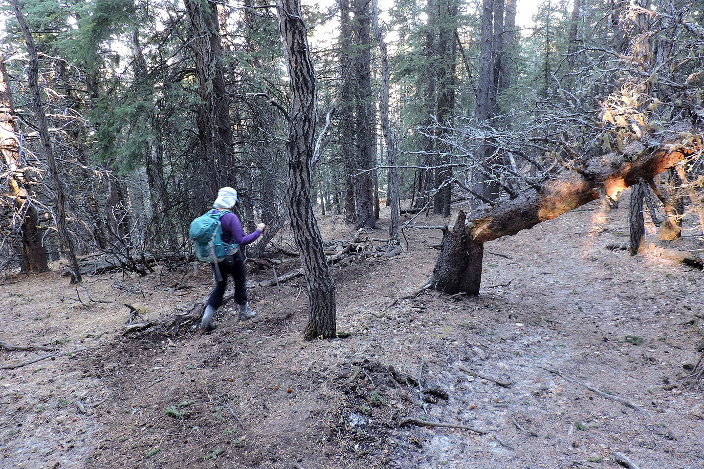
Thus far the route exceeded my expectations as I didn't think trails reached the summit. Buoyed by finding trails everywhere, I was hoping we could hike a short loop before returning to our ascent trail. So we continued on the trail as it dipped into the forest. At first the trails were so tortuous and undulating that we wondered if they would lead back to the valley we came up, but by turning left at the intersections, we did get back on track.
No doubt this OHV area is seldom quiet. Dirt bikes and quads must roar up and down the hills in the summer, and I've seen snowmobiles zip around in the winter. But we found tranquility here, and it went a long way in making our hike up Willow Creek Knoll pleasant.
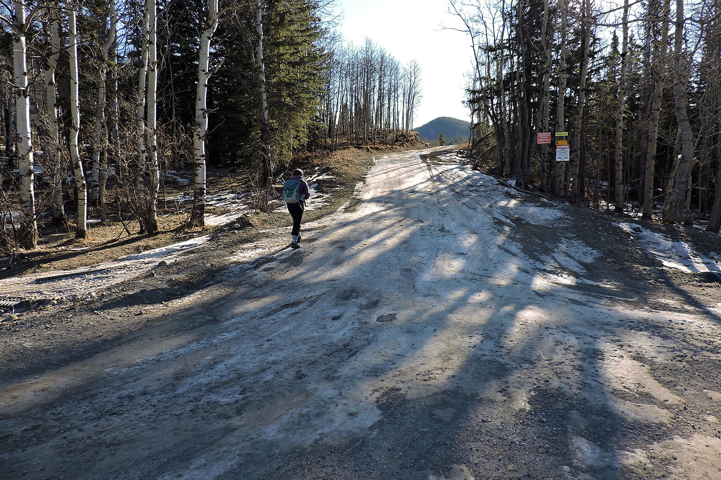
Starting up the trail from Hwy. 532
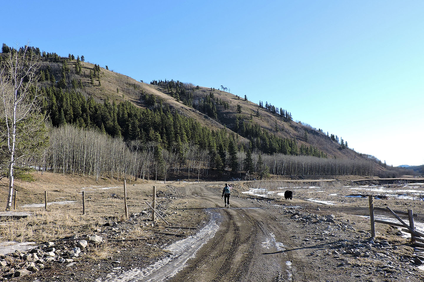
Dinah passes a cow on the trail that runs alongside Willow Creek
Behind us is Indian Graves Ridge
The area is rife with ATV trails
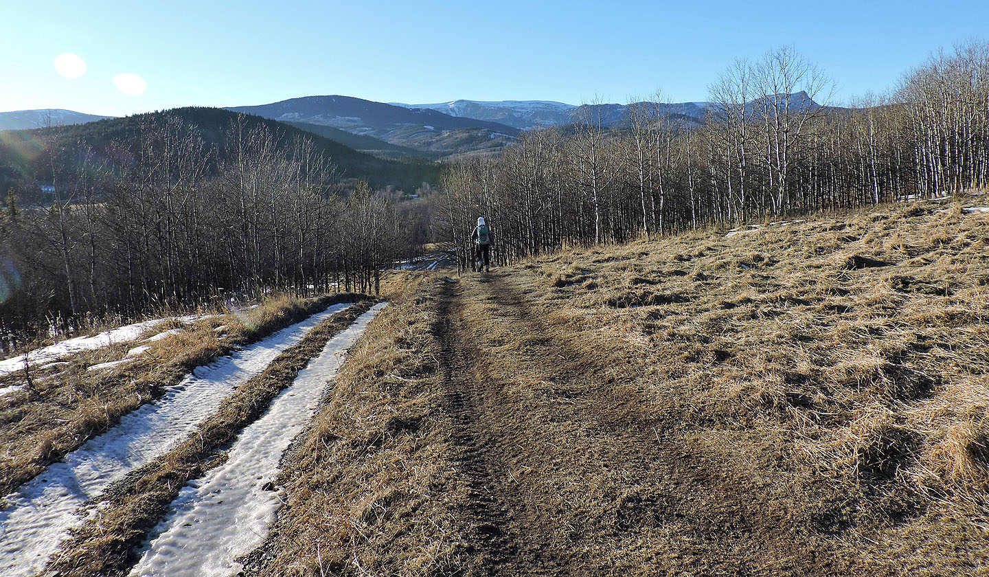
The green hill behind us is Johnson Creek Ridge.
The white-capped mountain behind it is Hailstone Butte.
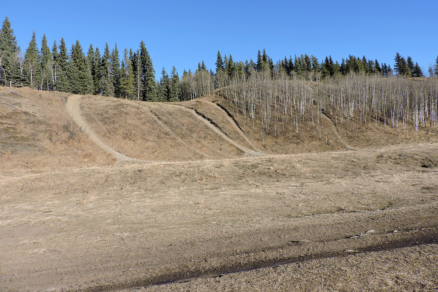
When the trail split three ways, we took the far left trail
The trail curves left to climb a slope
We continued up the trail
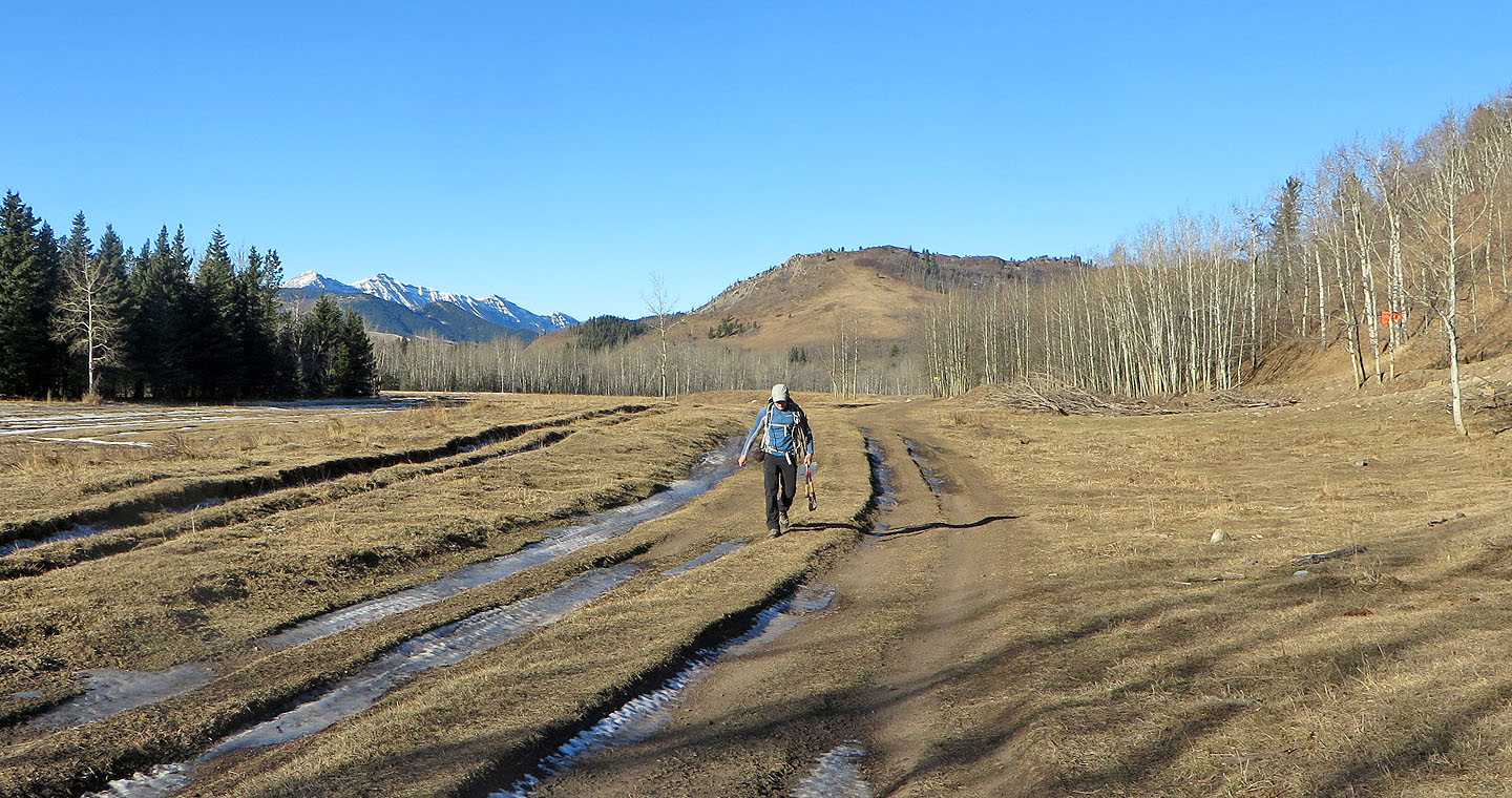
Our hill appears ahead
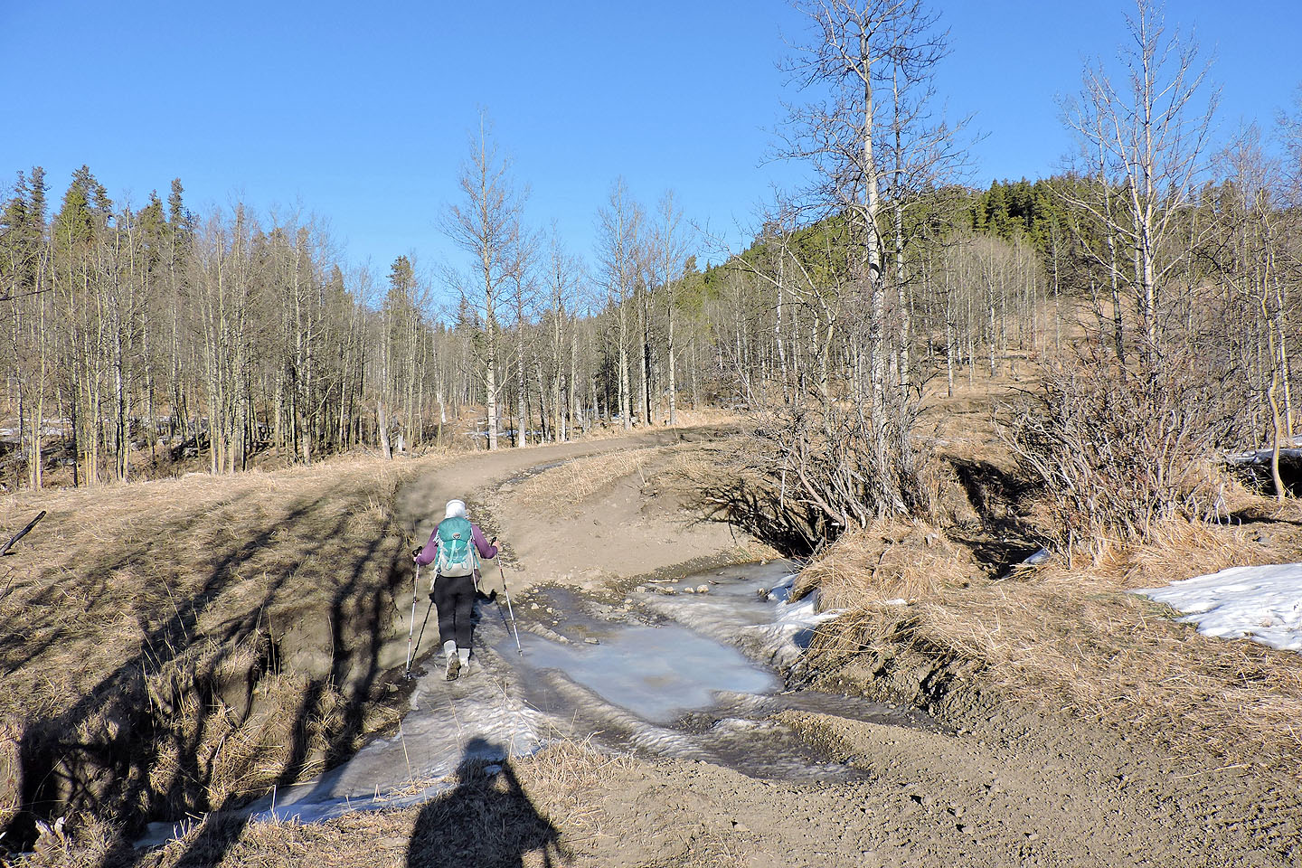
We crossed frozen creeks on our trip
We kept right at this fork but returned on the trail on the left
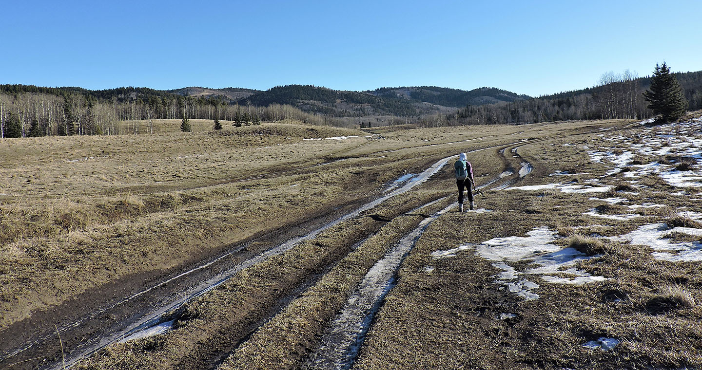
Several trails cut through a swamp
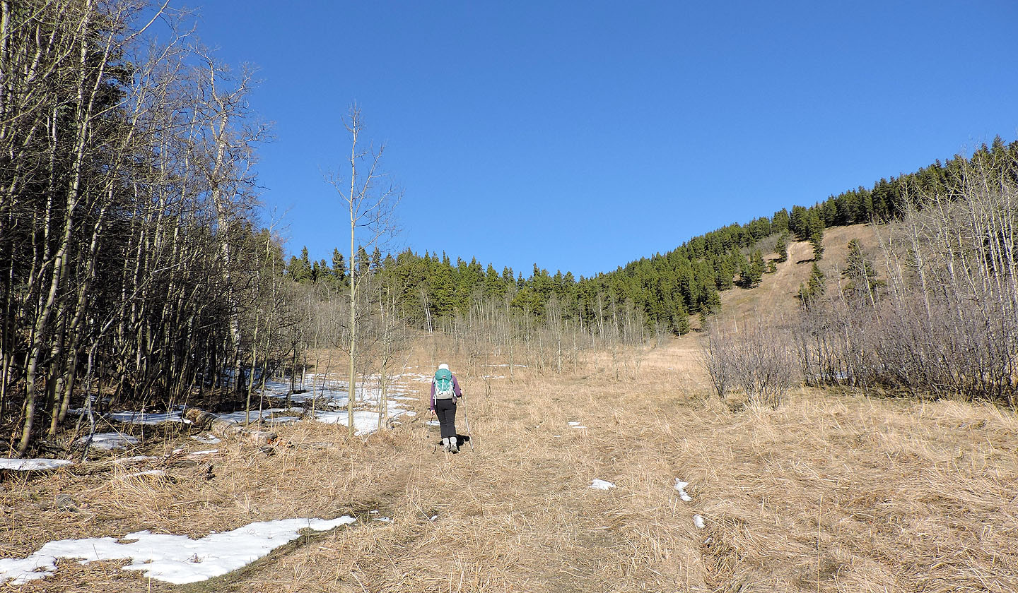
The trail launches up a steep meadow
At the top, the trail reaches a T-intersection in the trees. The hidden summit is on the left.
Looking back after climbing partway up the slope
The summit is ahead
Dinah reaches the top
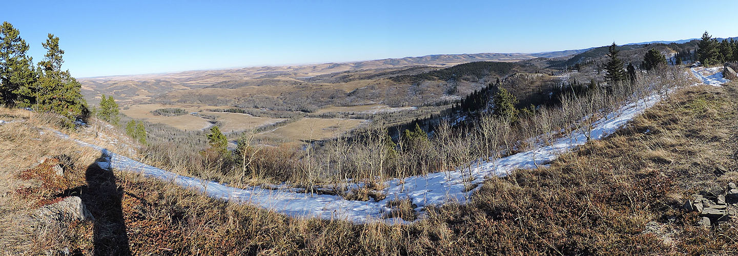
The view east
Winter was just a couple of weeks away, but it was mild on the summit
From the summit, we continued north on the trail
The trail was dry at first, but it didn't last long
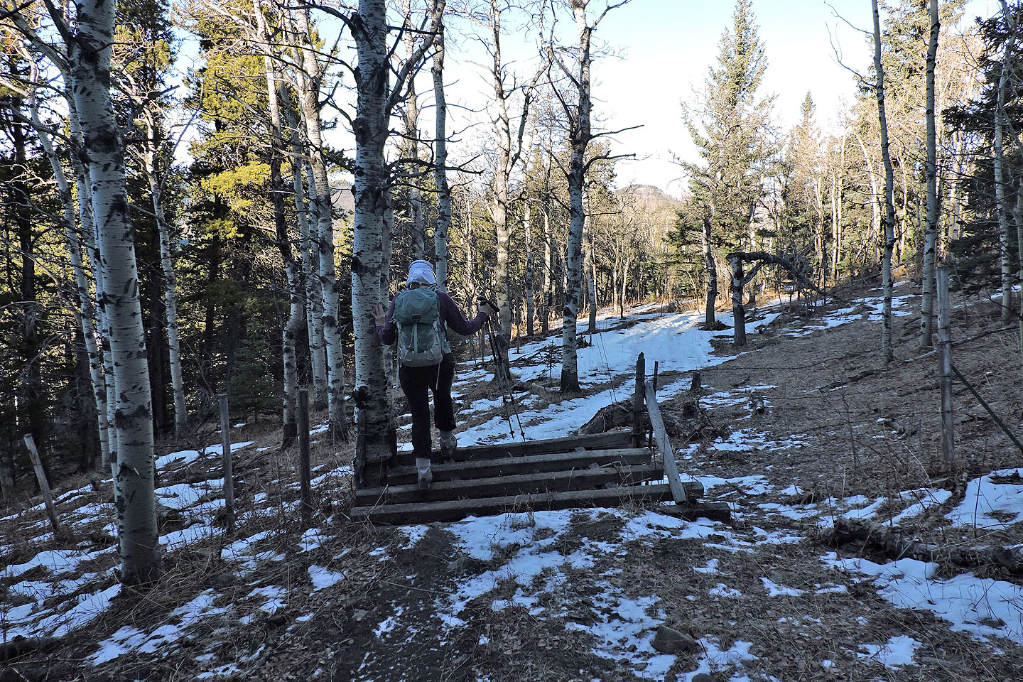
Dinah crosses a cattle barrier
We continued down the winding trail
We kept left at all the junctions
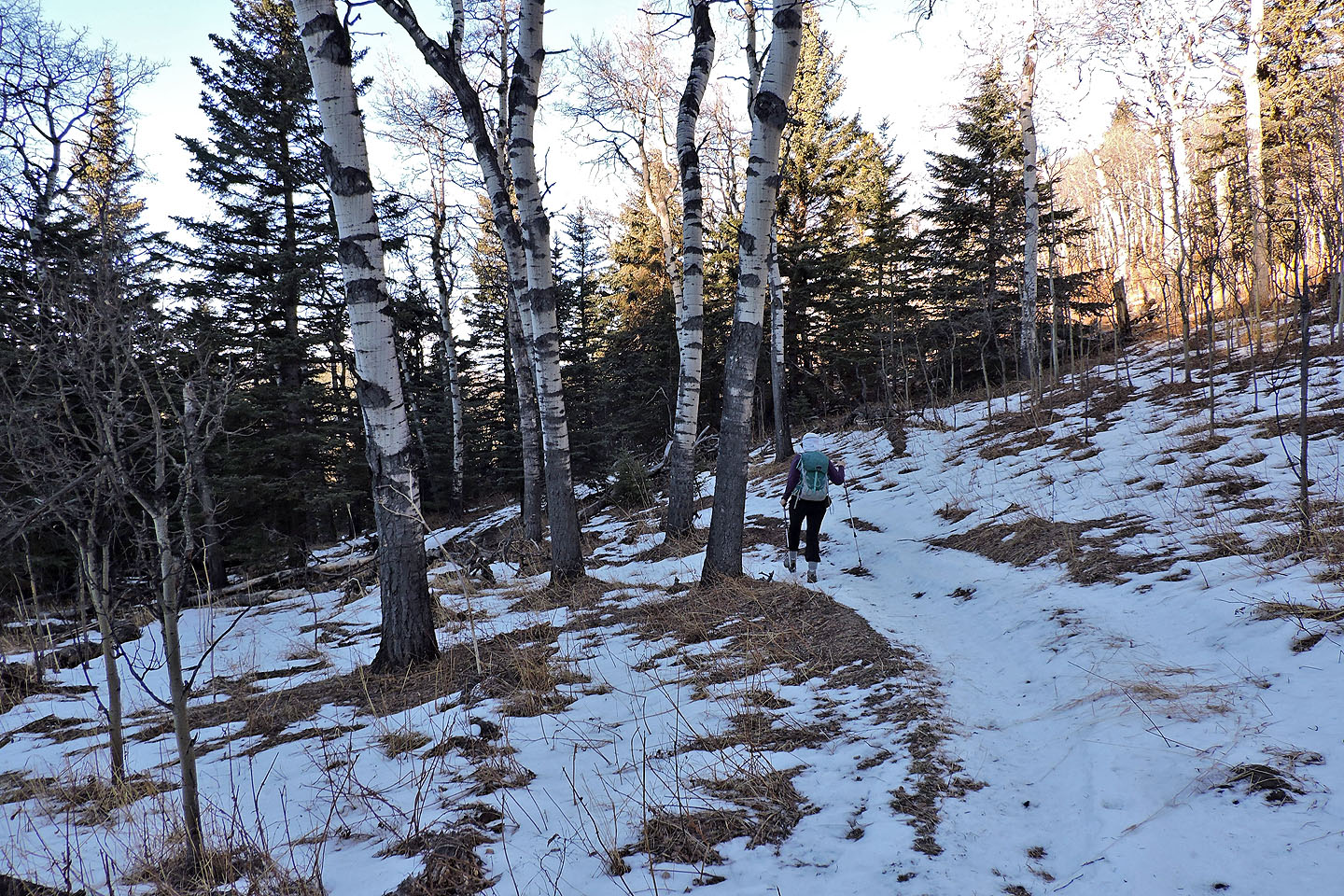
Our next left climbed a clearing
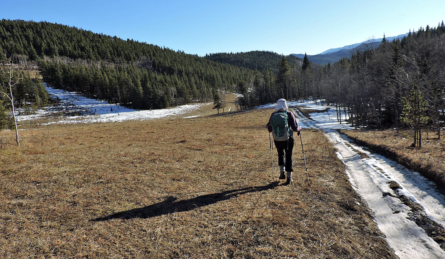
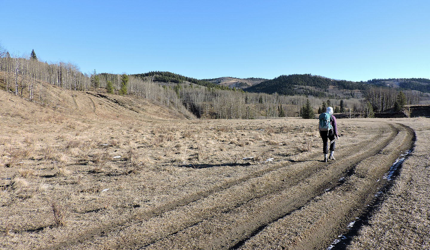
The last stretch follows an open valley
Back on the trail we came up
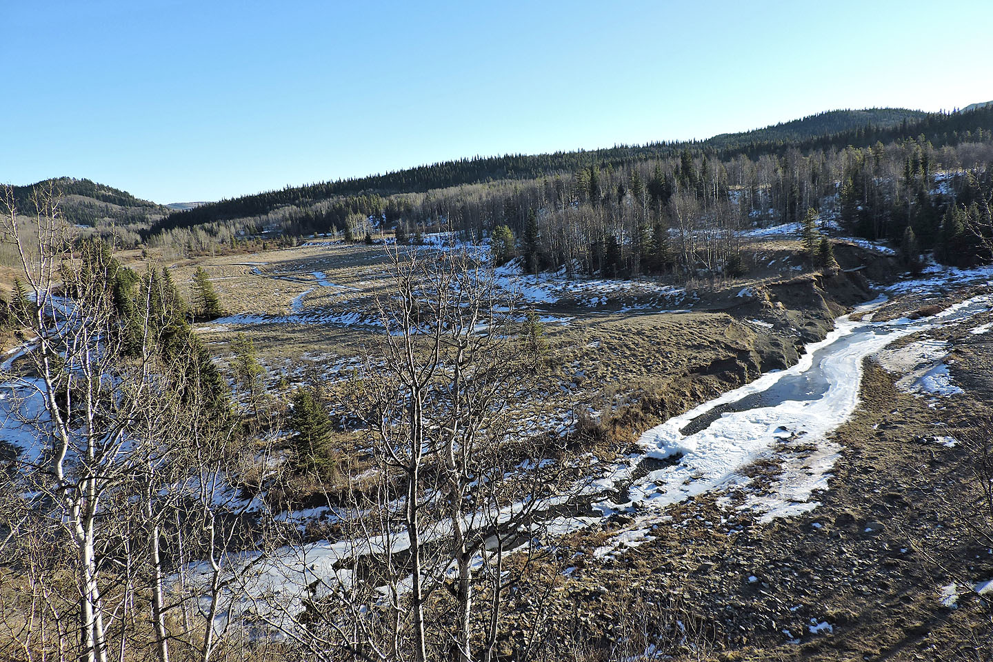
Looking down at Willow Creek
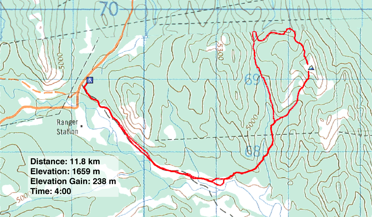
82 J/1 Langford Creek, 82 J/8 Stimson Creek