bobspirko.ca | Home | Canada Trips | US Trips | Hiking | Snowshoeing | MAP | About
Sibbald Meadows Hill
Kananaskis, Alberta
June 14, 2026
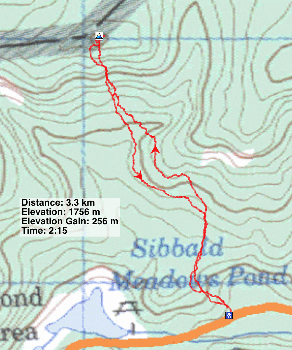
Distance: 3.3 km (2.1 mi)
Cumulative Elevation Gain: 278 m (912 ft)
Sibbald Meadows Hill isn’t a particularly pleasant hike, mostly bushwhacking, but it might appeal to those wishing to add it to their list of summits. For me, it was the only summit in the area I hadn’t climbed. On the positive side, it’s a very short trip.
I used the route on Gaia GPS. On satellite imaging, it appears to run through clearcuts, but these were old; dense, small trees now filled the section.
I parked on the south side of Highway 68 and started up a slope, a mix of bushes and trees. Following the track, the small trees obscured views most of the time. I diverged right slightly, climbed a bit to reach an older forest where I hoped bushwhacking would be easier. But it was full of deadfall, and I gained needless elevation. I soon dropped down to get back on track.
After crossing a stream, the route begins climbing in earnest, up a wooded slope. Hiking was better here, with well-spaced trees and little deadfall. Just below the summit, I ascended a large clearing where I took a panorama looking south at the Hunchback Hills. With frequent course corrections and stopping to take photos, I thought I was making poor time, but I reached the top in an hour. The summit itself, however, was treed. After looking around, I headed back down. On my descent, I stayed on track, manoeuvring around small trees and occasional deadfall in the old clearcut. It’s probably the most effective route.
 Sibbald Meadows Hill is far left, out of sight
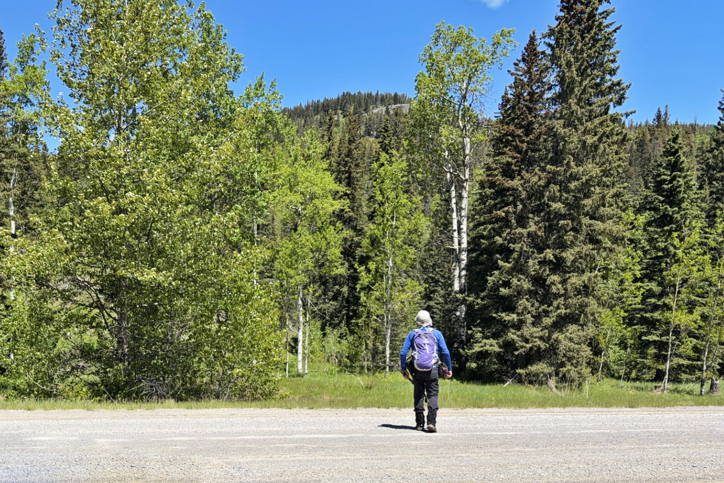
 View from the road
 After turning west, Seventy Buck appeared behind, on the right
 The route keeps left, staying in small trees, but I went right, to the forested ridge ahead
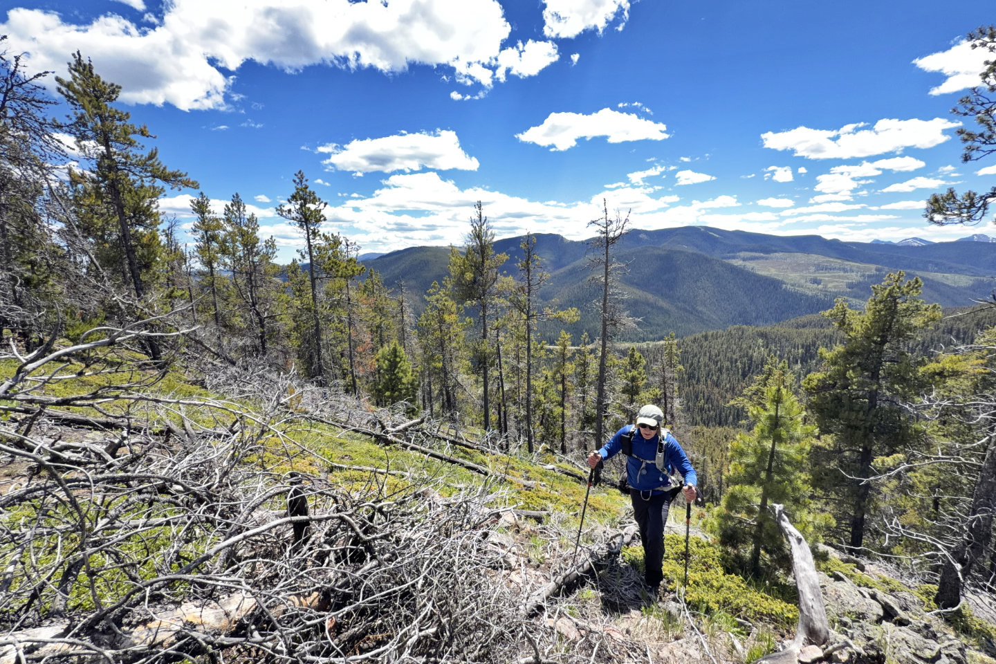
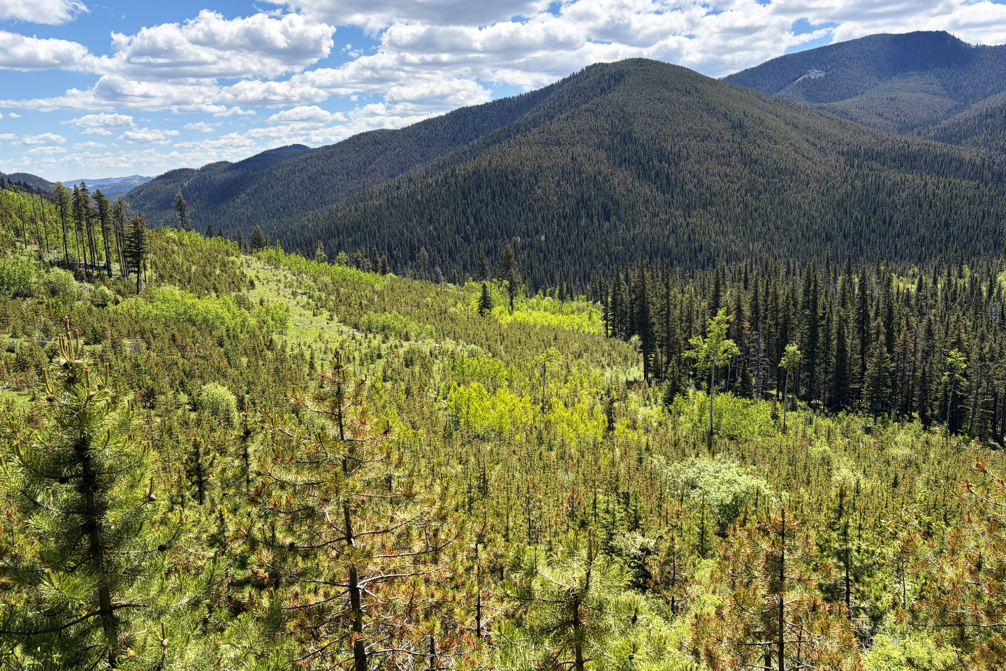 I'm high and off track, but looking back, I can see what I came through
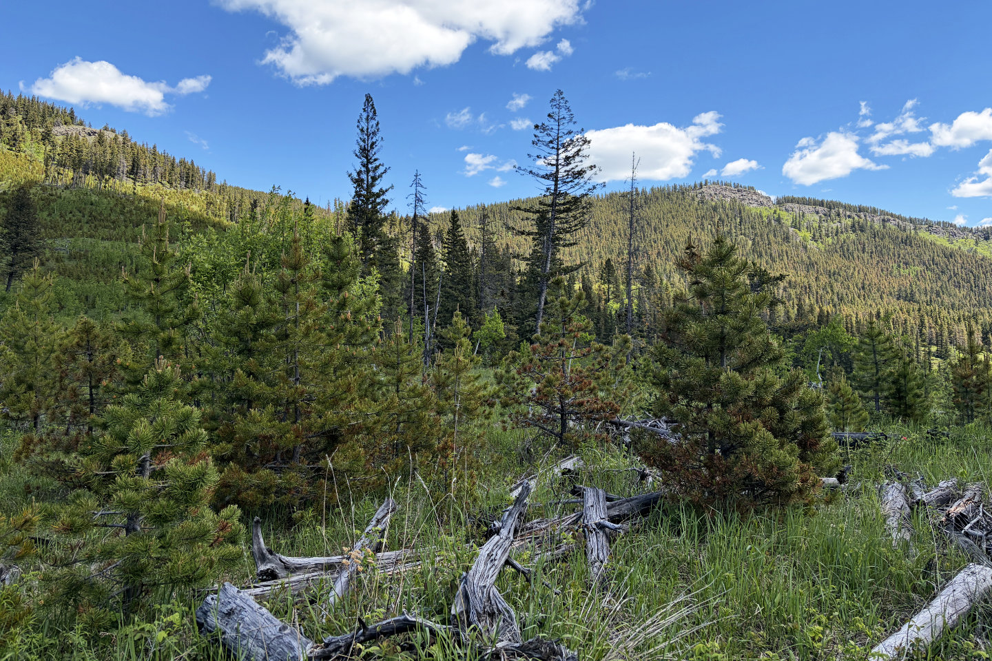
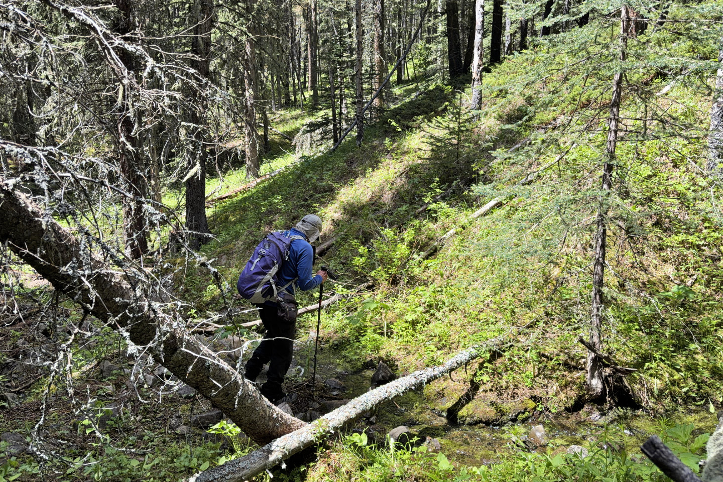 The climb began after crossing a stream
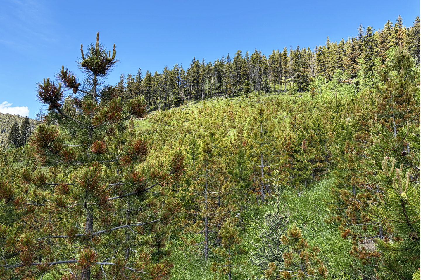
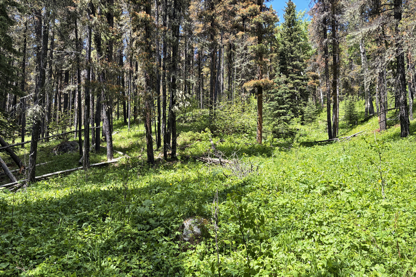 The wooded slope was more pleasant than the first section
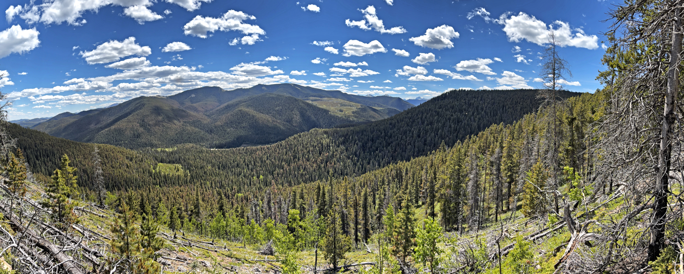
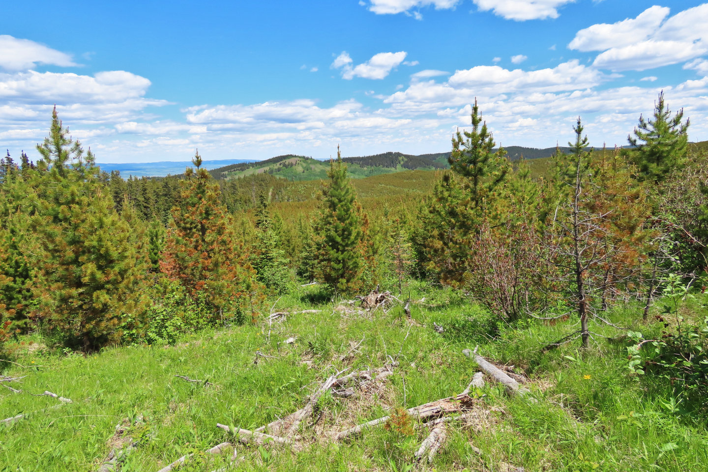
 Looking back with Hunchback Hills dominating the background
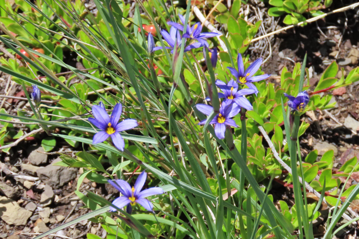 Blue-eyed grass
 Silky locoweed, a toxic plant that is known to cause "loco disease" among livestock
 Looking back from the top of the clearing below the summit
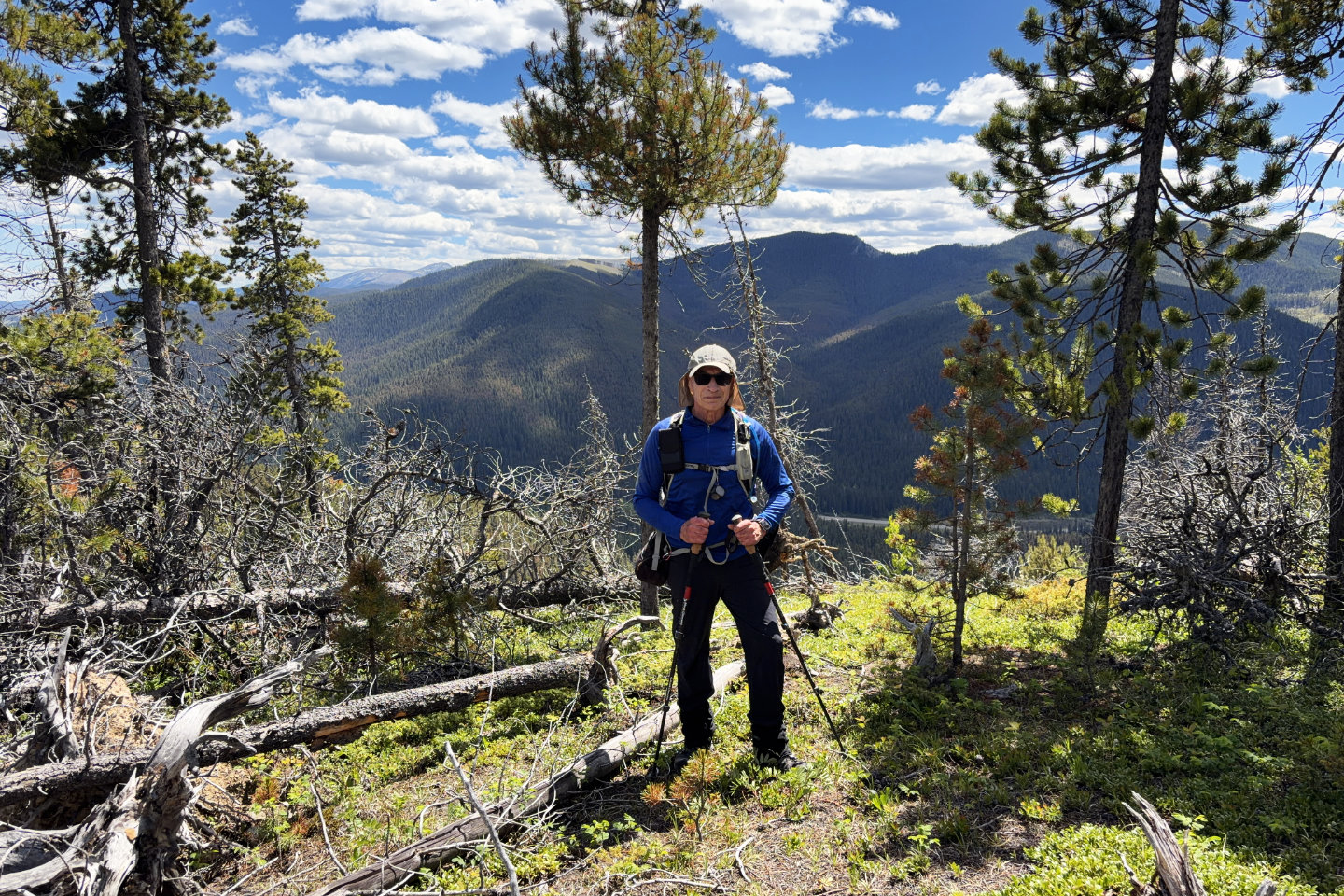 Standing in a small clearing near the summit
 A break in the trees allowed a view of Eagle Hill northeast (mouse over for a close-up)
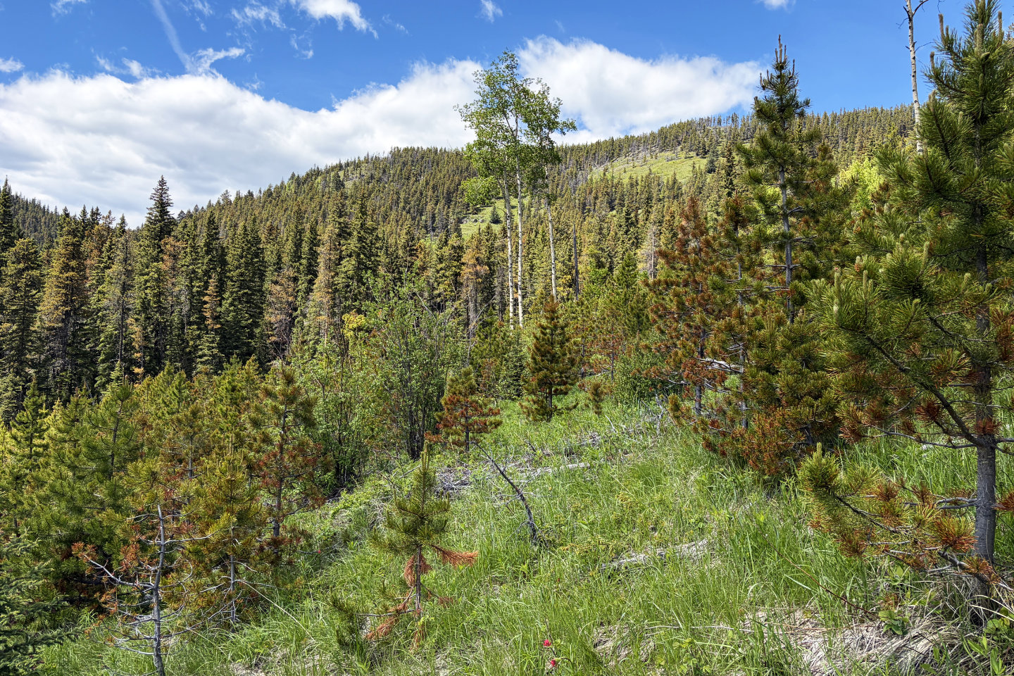 The correct route passes the three tall aspens in the centre. Sibbald Meadows Hill with its large clearing is right of the aspens.
82 O/2 Jumpingpound Creek