bobspirko.ca | Home | Canada Trips | US Trips | Hiking | Snowshoeing | MAP | About
Seventy Buck Viewpoint and Ridge 448587
Kananaskis, Alberta
November 23, 2019
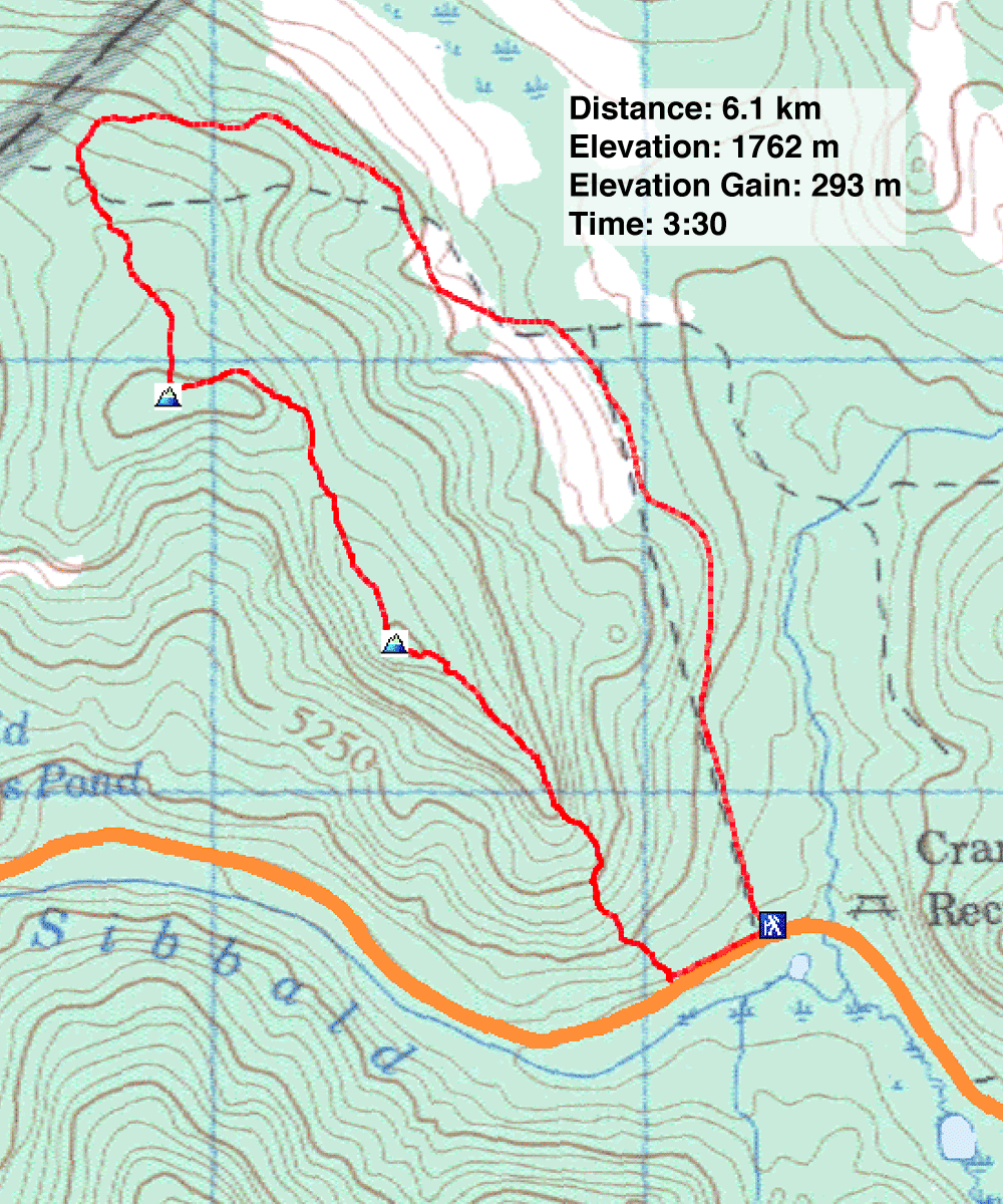
Distance: 6.1 m (3.8 mi)
Cumulative Elevation Gain: 326 m (1070 ft)
Taking a page, a web page that is, from Sonny's blog, I decided to do Seventy Buck Viewpoint. Like him, I hiked a counterclockwise loop that would first tackle Ridge 448587 before going to the viewpoint.
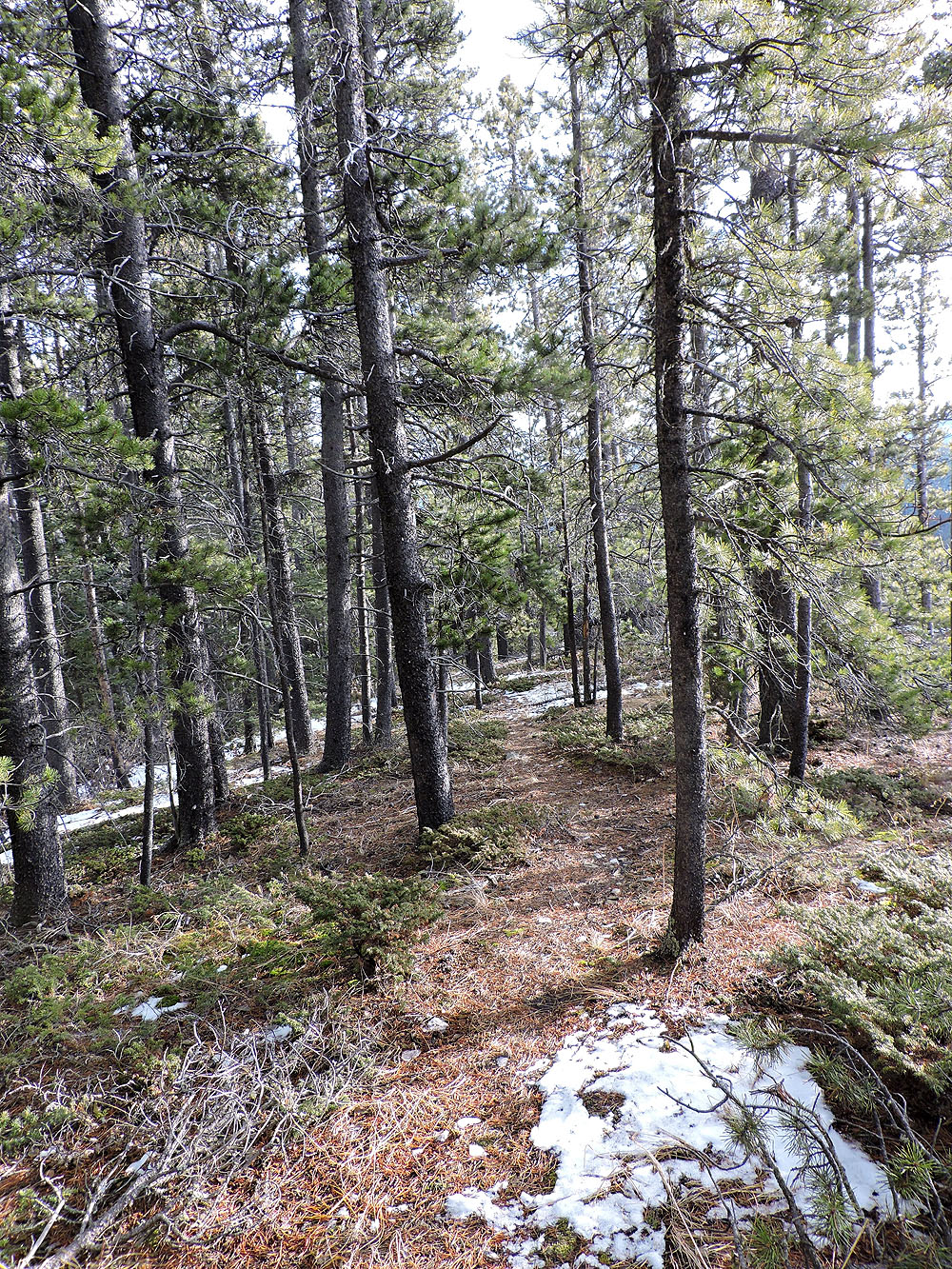
The trail for the ridge runs up Seventy Buck Valley, an approach shared with Eagle Hill. But it was Eagle Hill that garnered all the tracks I saw in the snow. I thought I might mindlessly follow the tracks and miss the untrodden logging road to the ridge, but after hiking 1.7 km I came to an obvious fork. I kept left and soon started climbing.
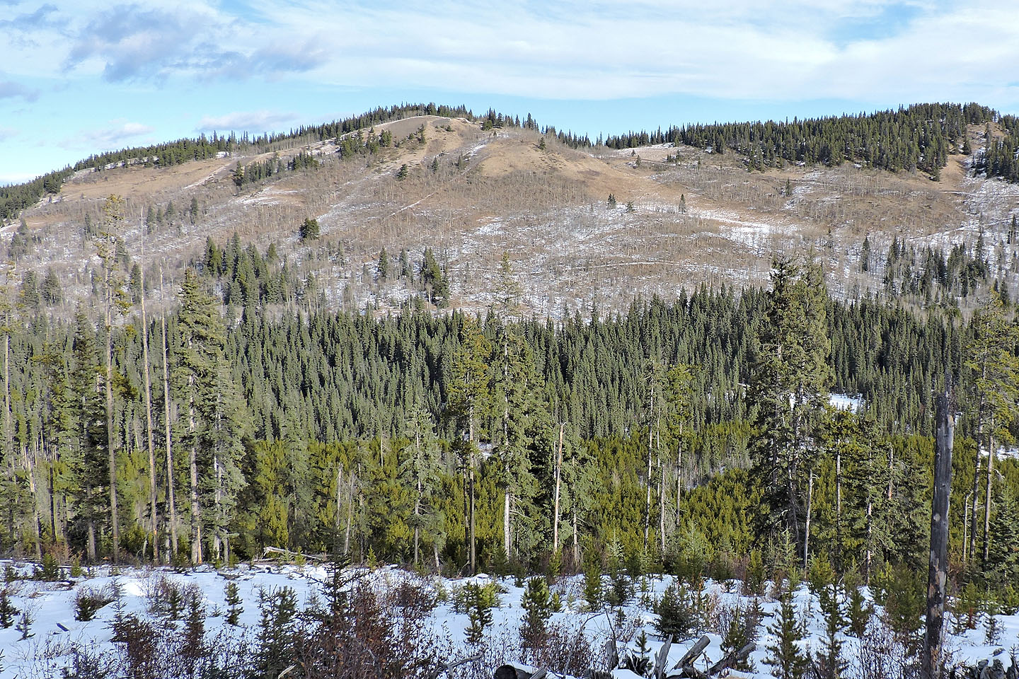
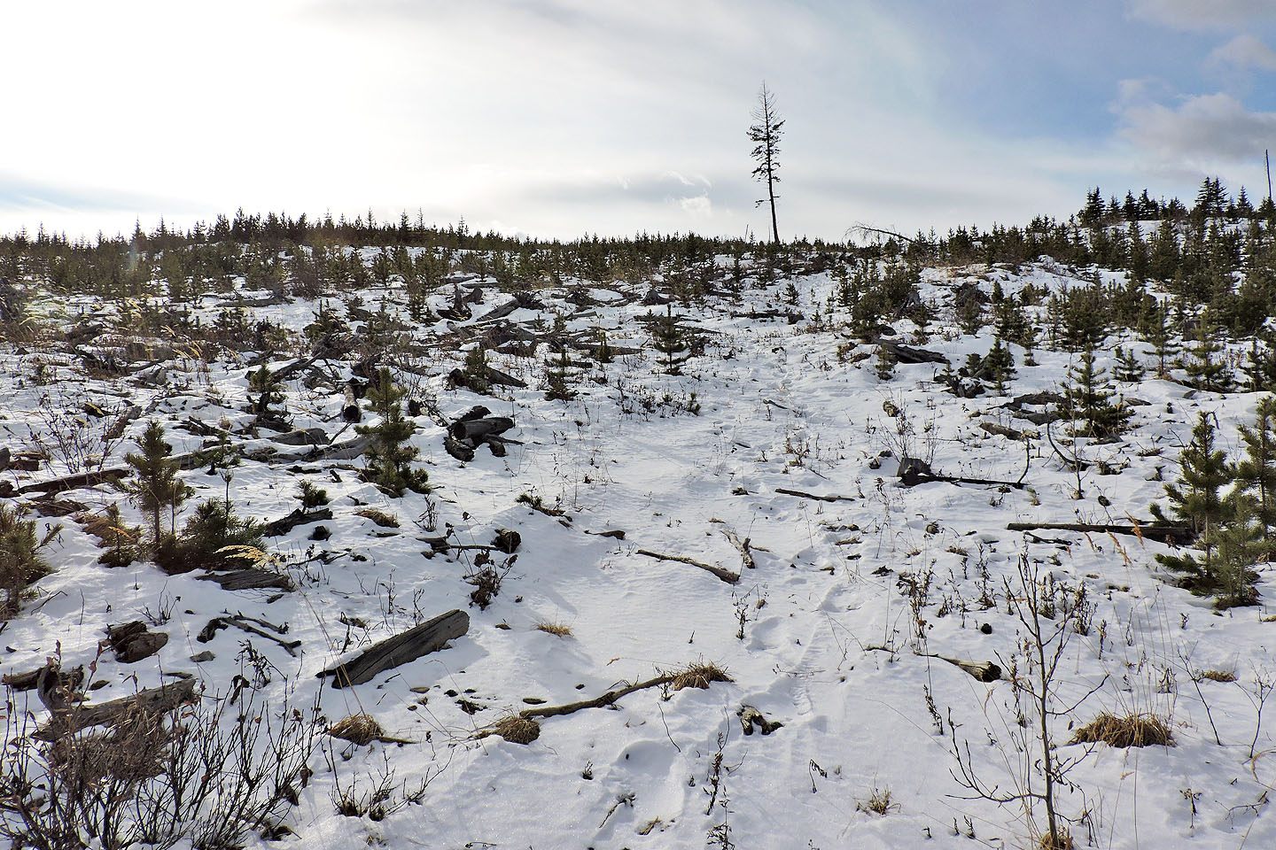
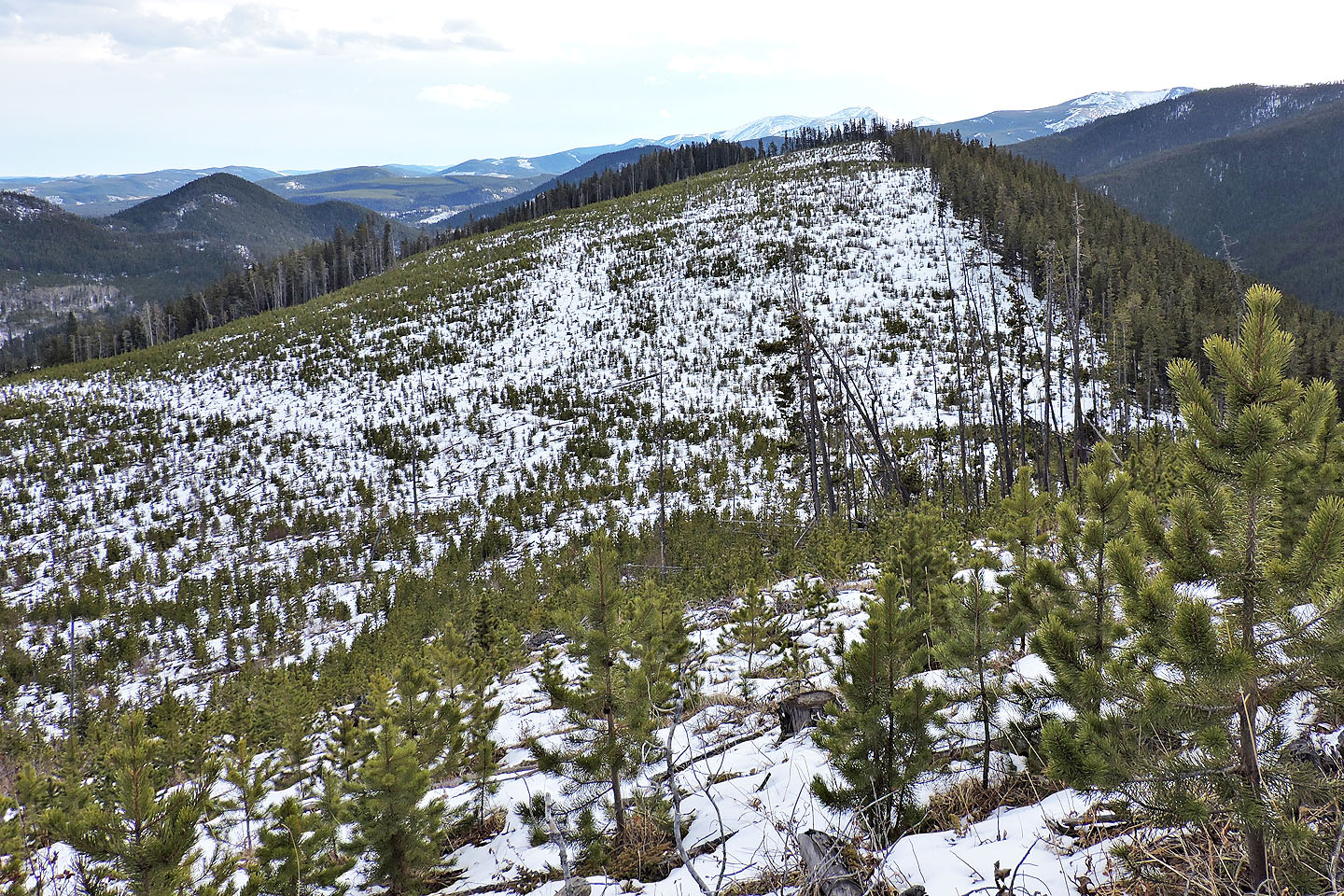
The road ends on the ridge crest. Half of the ridge was logged while the other half was untouched, the trees still standing. The high point itself lies just within the cutblock. A new forest was on its way in, but the three-foot pines did little to hide the mess of gray logs. I stumbled across the snow-covered wasteland and tagged the uninspiring high point.
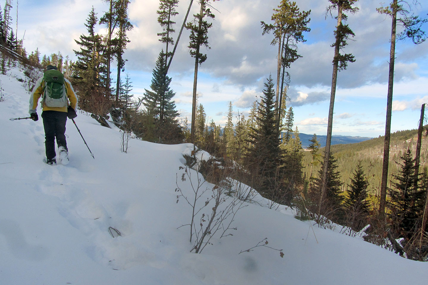
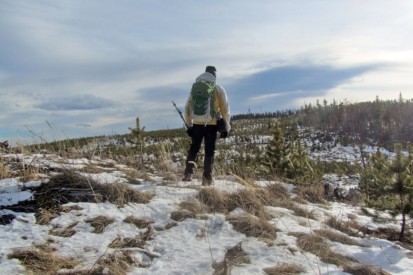
Without further ado, I turned my attention to getting to Seventy Buck Viewpoint. Keeping to the cutblock was not an easy or pleasant task; I often tripped on logs hidden in the snow. Moreover, I had to drop down 50 m. It was steepish, but Microspikes saved me from slipping and sliding down. Once I reached the bottom, I made my way to the edge of the forest where there was less snow and deadfall. I followed the demarcation between cutblock and trees to the viewpoint.
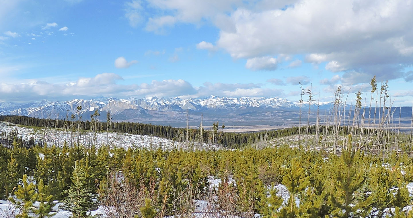
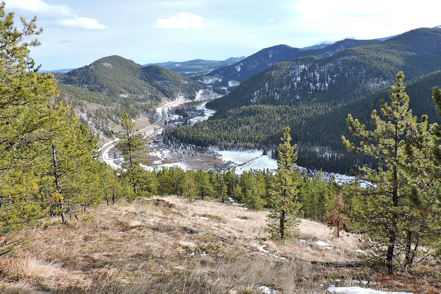
Perched on cliffs and nearly as high as the high point, the scenery from the viewpoint far eclipsed anything I saw earlier. I spent some time gazing at the scene and taking photos. While looking for a place to take a panorama, I happened to look down at the base of a tree I was next to and spied a geocache. The dark green ammunition box was mostly hidden by branches, so well camouflaged I would have missed it had I been standing a couple of feet away. Maybe that's why there were only three entries in the last three years. To find the geocache, look for a tree near the edge on a little point on the cliffs.
It wasn't until after I signed the register that I noticed my left Microspike was missing, probably caught on a log when I climbed to the viewpoint. I wished I had both icers as the trail down from the viewpoint was icy in places. I followed the trail until it ended about 300 m short of the road. After that, I kept slightly right to avoid steep or bushy sections and easily bushwhacked down the slope. Just above the road, I came across a fence and followed alongside it to the road. It left me 260 m from my car.
The next day, I went to MEC to buy new Microspikes. They were $80 but I had a voucher for $10. For me, the price of hiking to the viewpoint was … seventy bucks!
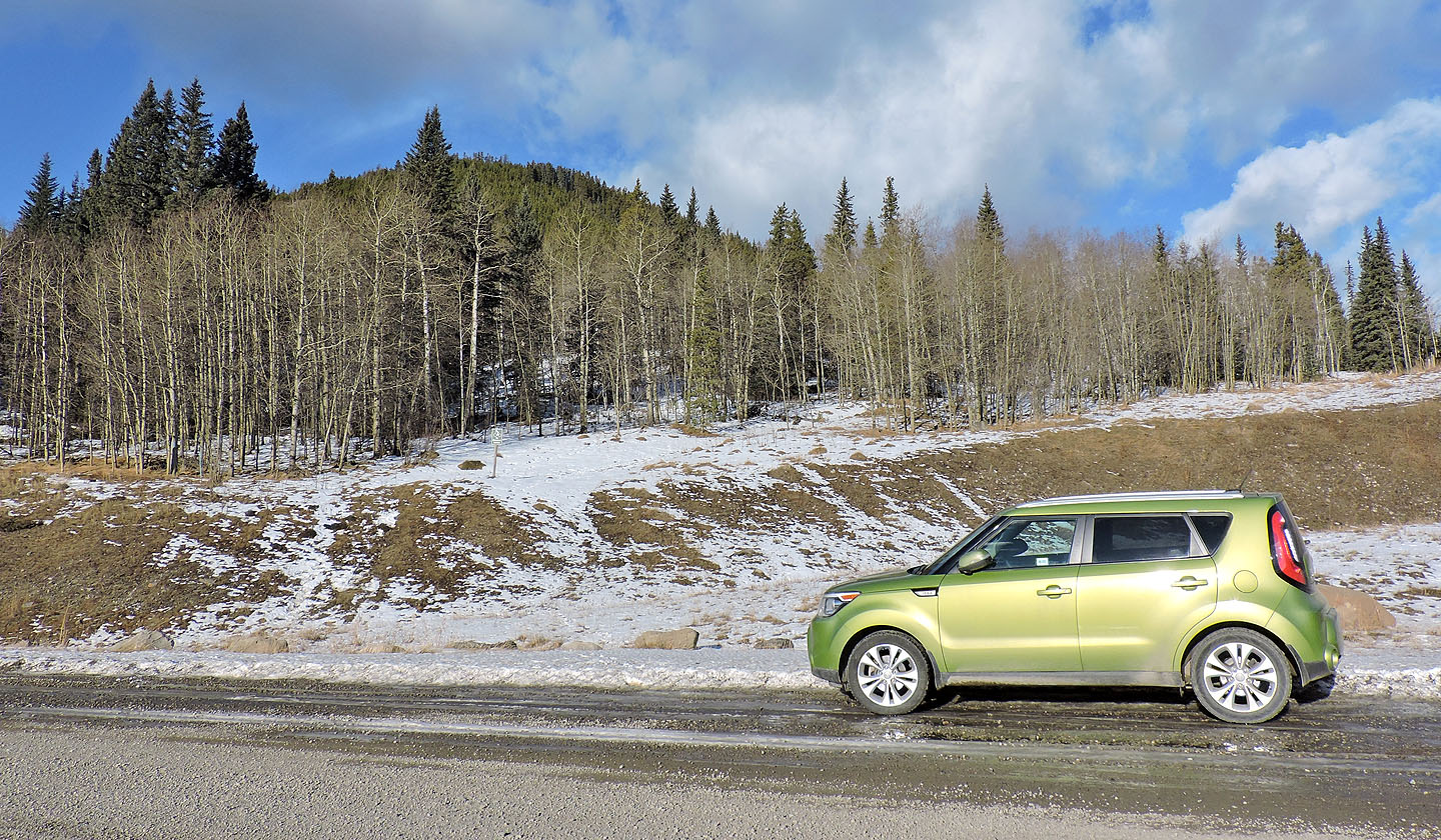
The trailhead
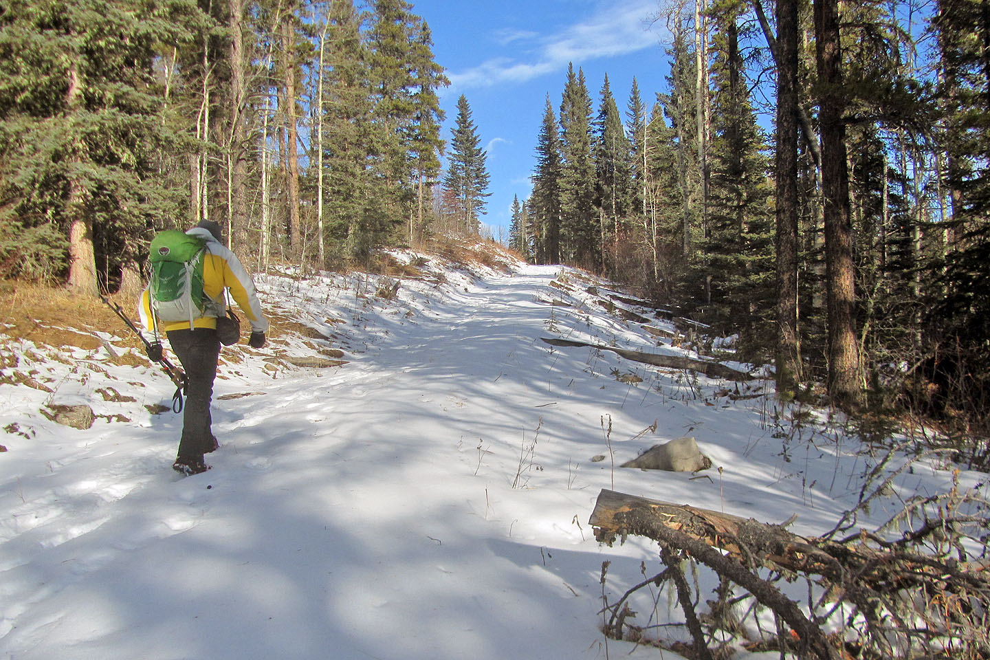
The grade is easy up to the fork
The trail appeared well trodden
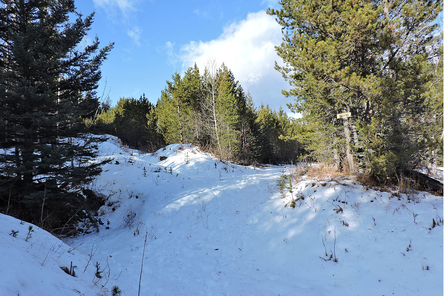
The fork: right for Eagle Hill, left for Ridge 448587
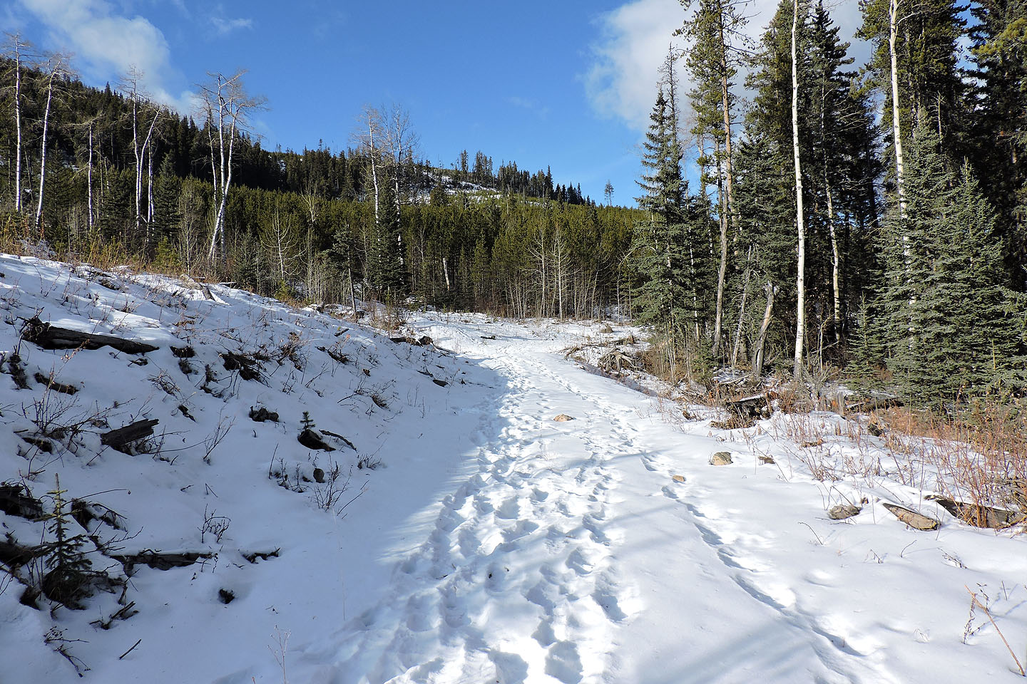
There were animal tracks on the road
The road cuts into a slope
Eagle Hill came into view
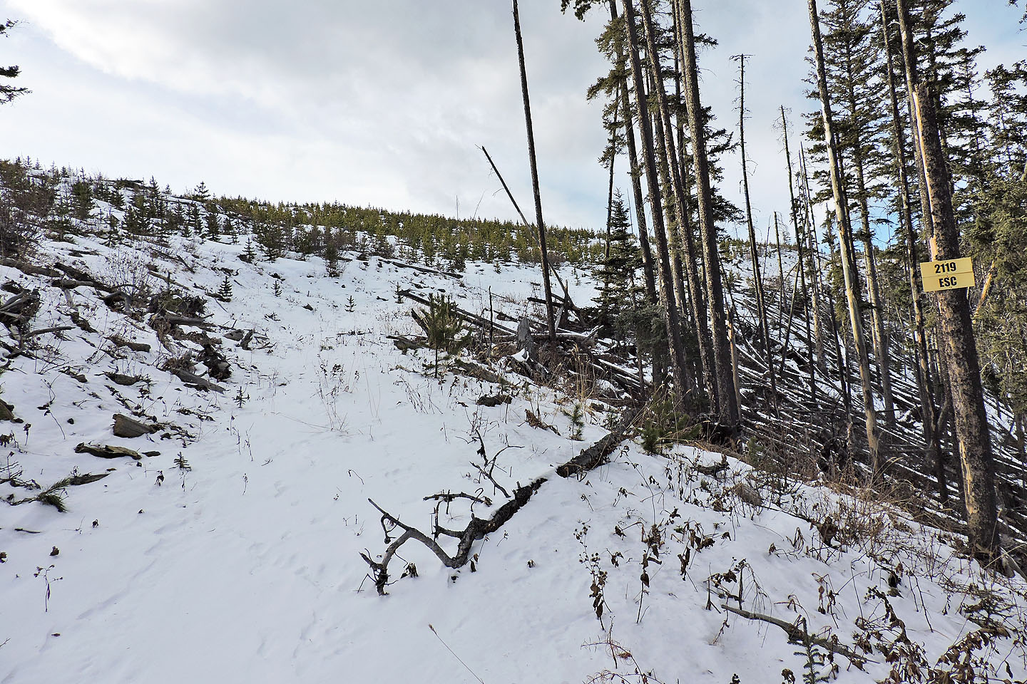
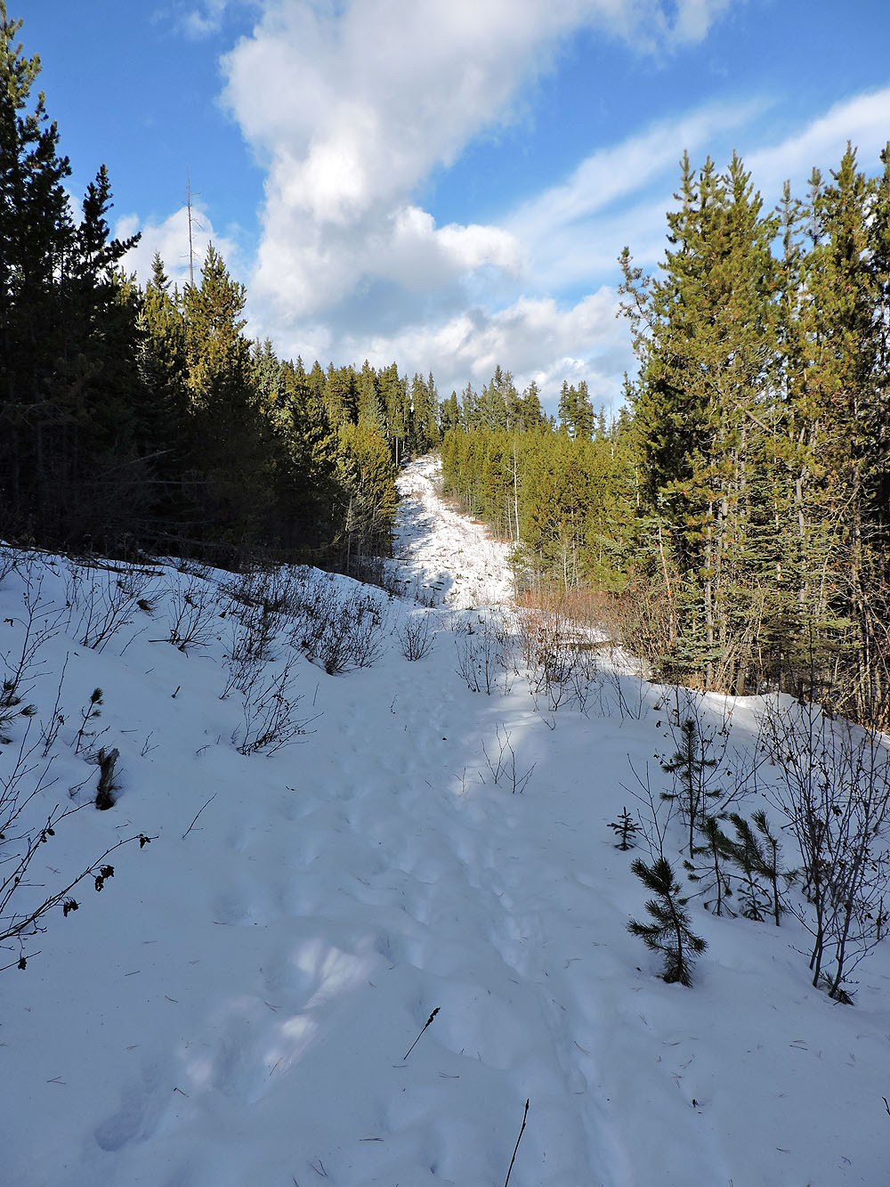
The road continues to a cutblock
The road appeared to end here
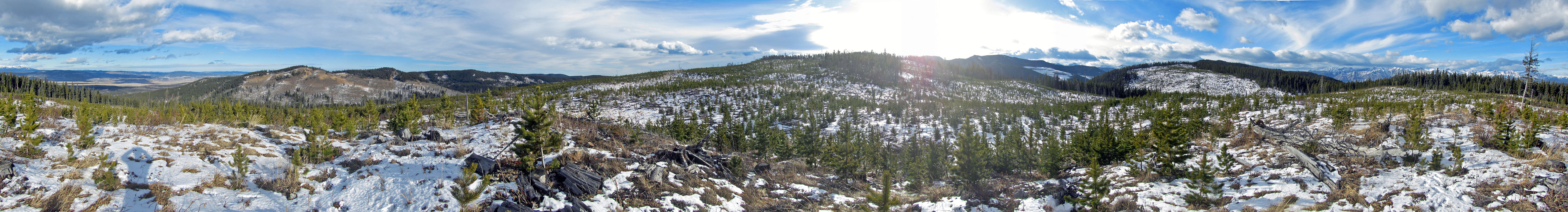
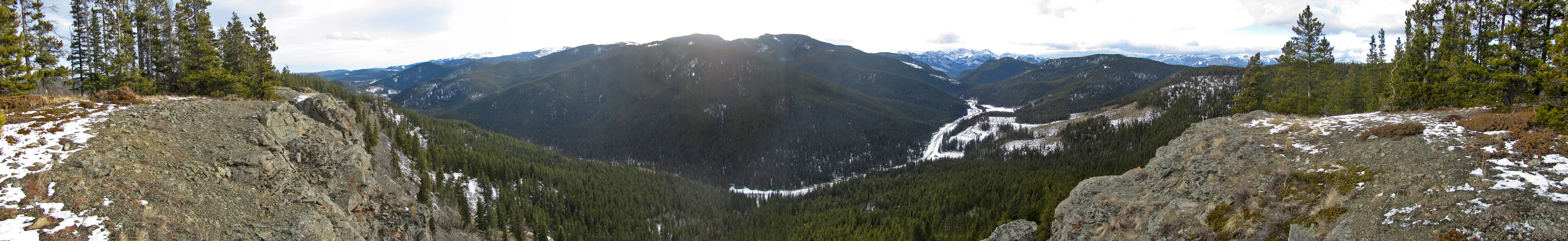
360 panorama from a bump on the cutblock
The high point is somewhere on the right
Not much of a view from the high point
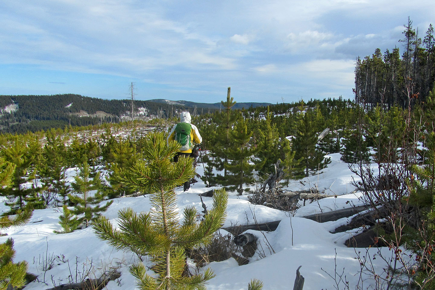
From the high point I set off for Seventy Buck Viewpoint
The viewpoint is almost the same elevation as the high point, but a 50 m drop intervenes
Coming up to the viewpoint
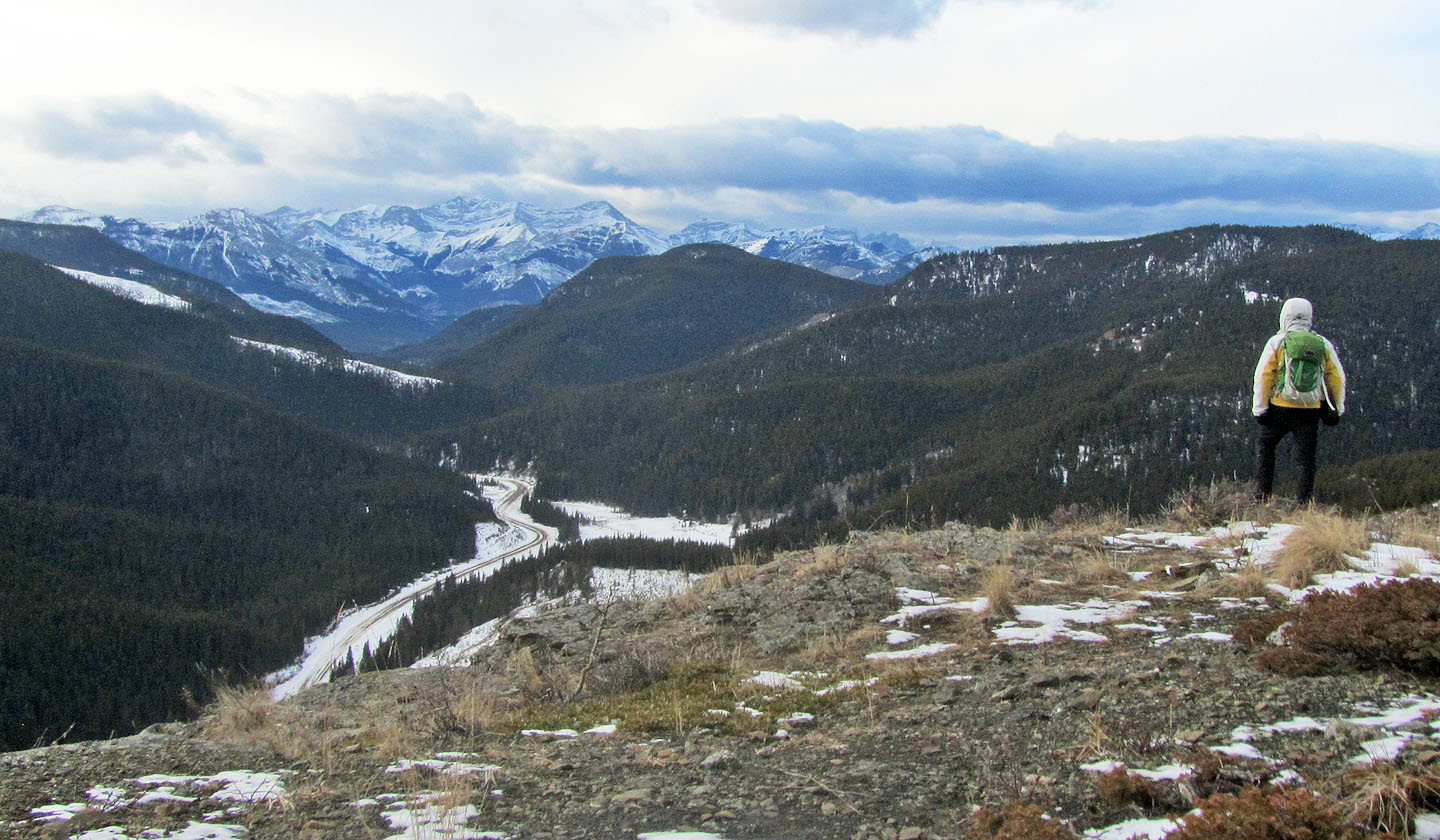
Seventy Buck Viewpoint
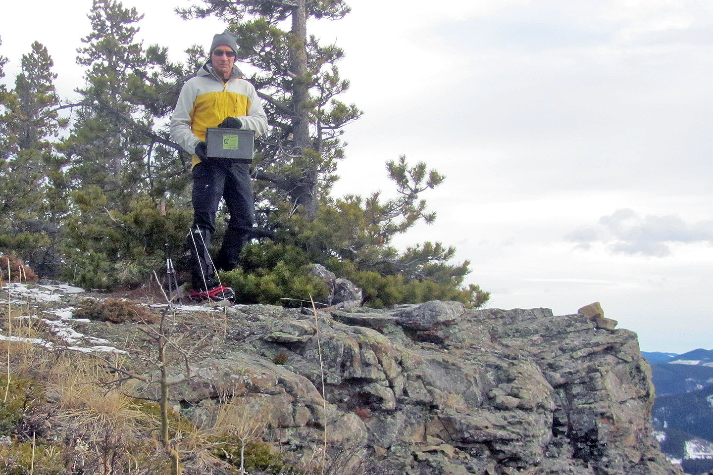
I found the geocache at the base of a tree
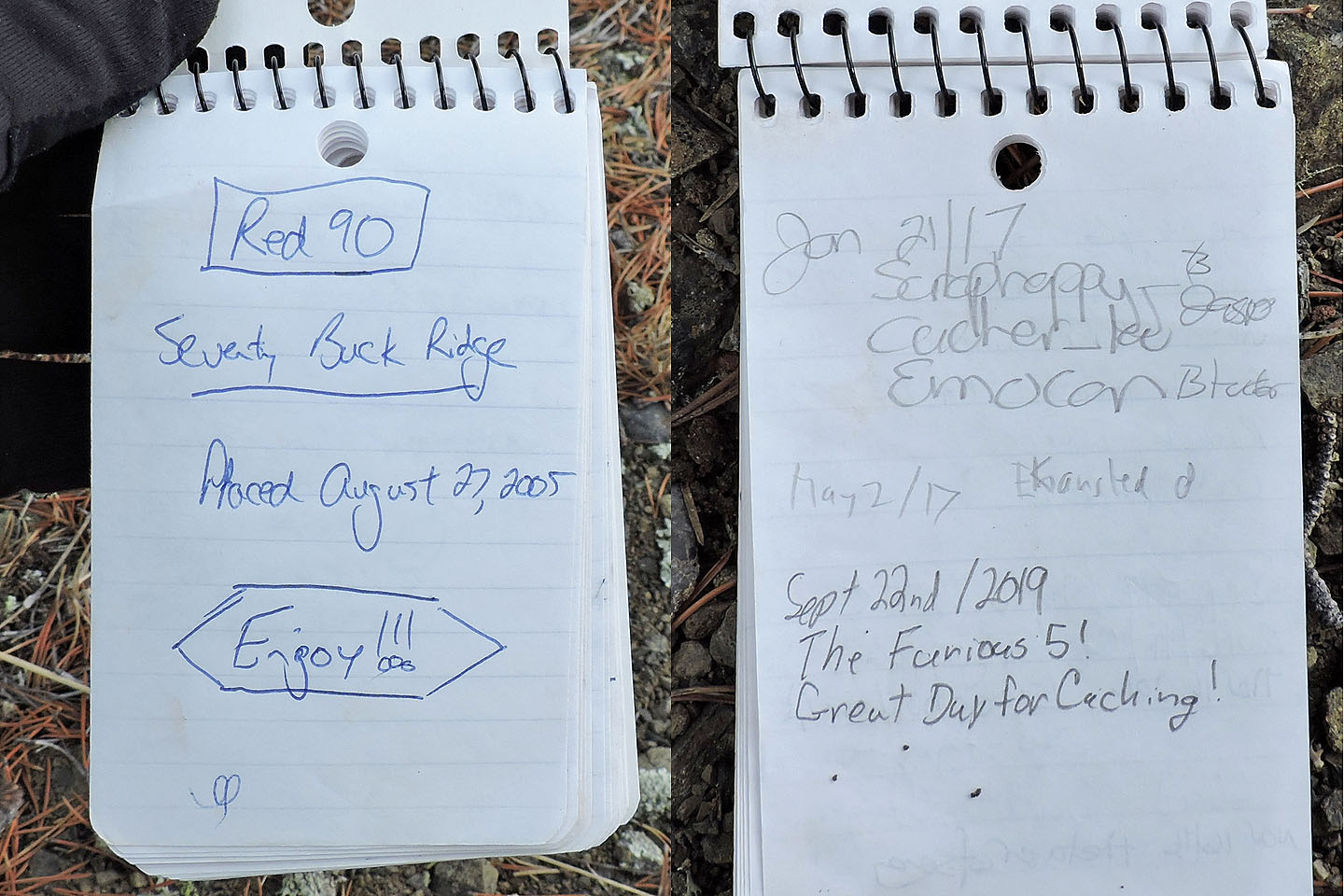
First and last entries
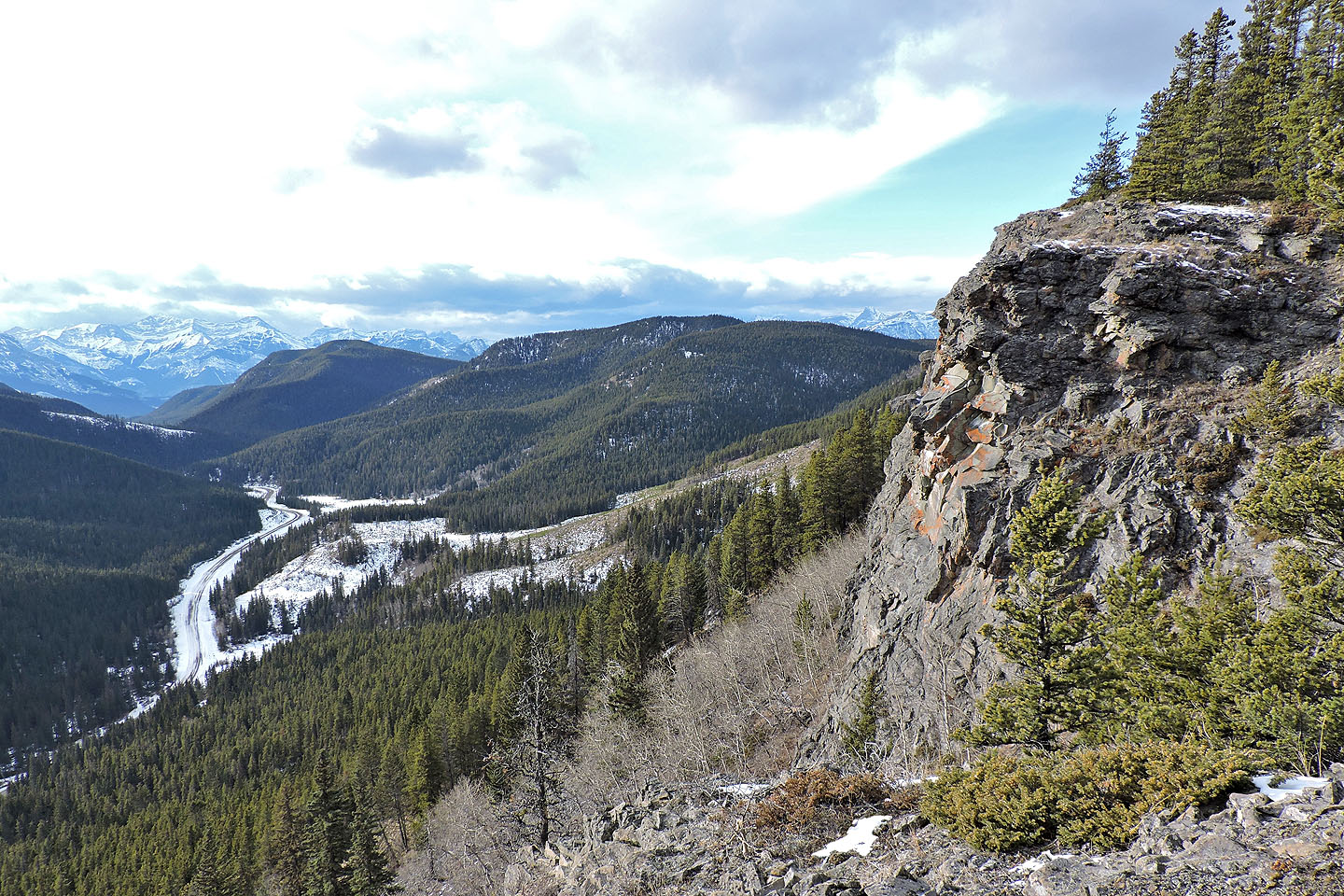
The cliffs are fairly high
The trail starts down
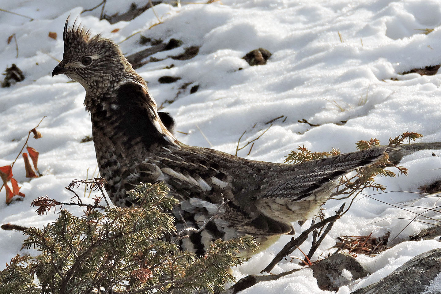
Ruffed grouse
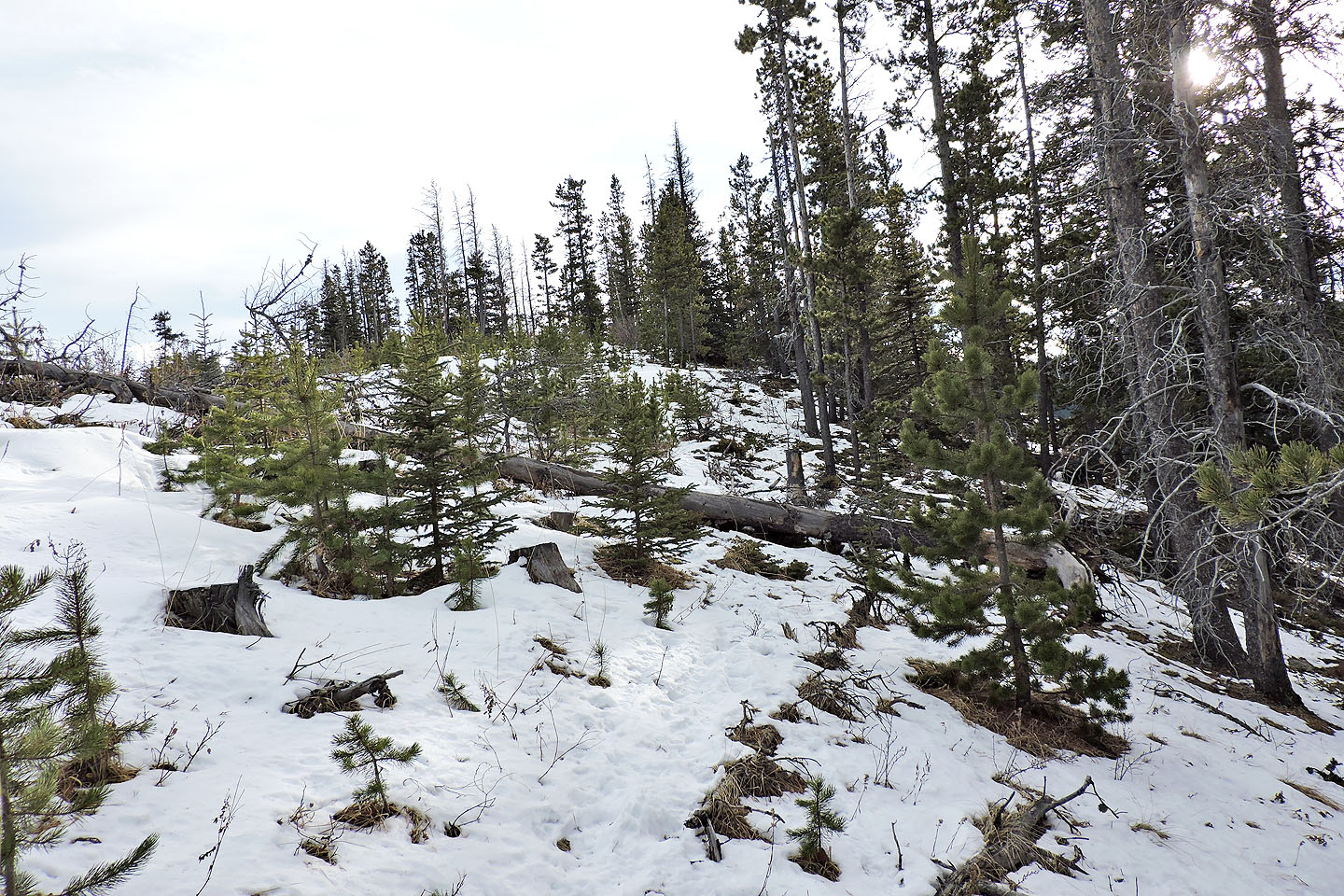
After the trail disappeared, I followed the slope down to the road
82 O/2 Jumpingpound Creek