bobspirko.ca | Home | Canada Trips | US Trips | Hiking | Snowshoeing | MAP | About
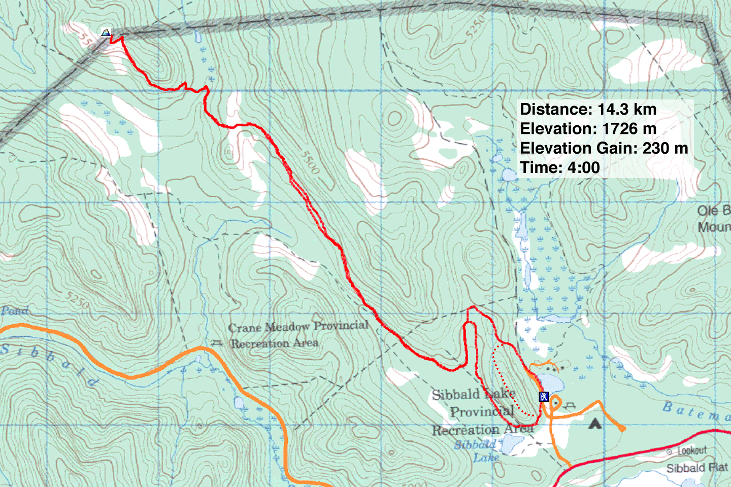
Eagle Hill (From Sibbald Lake)
Kananaskis, Alberta
May 19, 2019
Distance: 14.3 km (8.9 mi)
Cumulative Elevation Gain: 458 m (1503 ft)
When the mountains in the back range are still hindered by a mantle of snow in the spring, it's a good time to climb Eagle Hill to catch sight of them. Having posted Eagle Hill's approach using Seventy Buck Valley in 2015, I felt I should display the more popular, although longer, approach from Sibbald Lake.
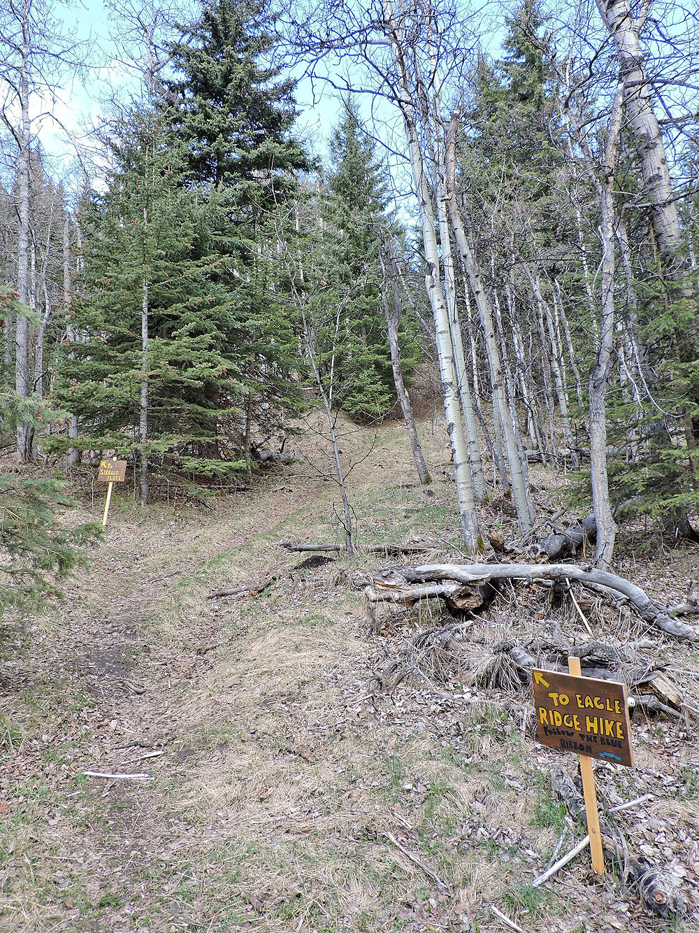
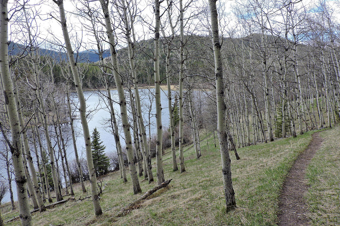
From Sibbald Lake, one can take either path that connect less than 2 kilometres later. I began on the trail that climbs over a low ridge and returned on the longer trail that swings by Moose Pond. After the two paths connect, a single track leads to Eagle Hill.
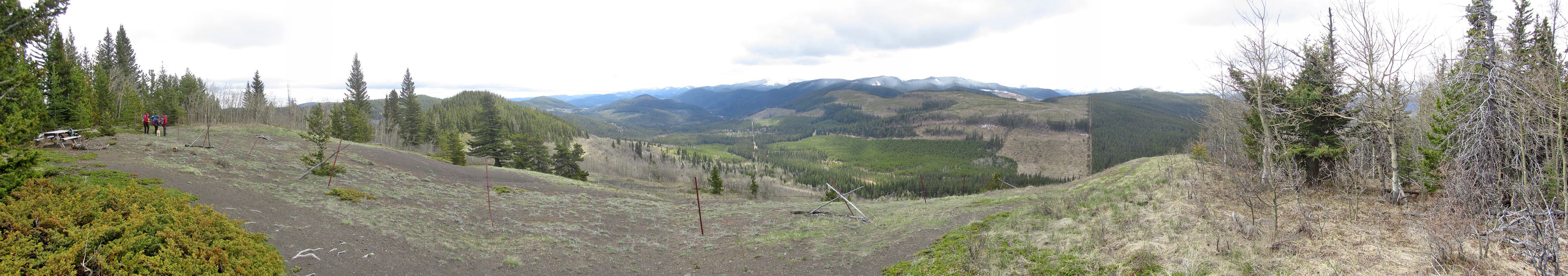
After parking, I walked up the road, through the gate, and hit the trail on the left. After keeping right at the two junctions, I was on the main trail to Eagle Hill. Mostly walled in by trees, the path is pleasant but uninspiring, with only ups and downs to break up the monotony. After the last drop, where a small bridge crosses a creek, the trail climbs to the half-bare summit of Eagle Hill. A group was already there and others would soon arrive.
Given the distance from the mountains and limited viewing angle, views from the hill aren't stellar, and dark clouds made it difficult for me to see much of anything clearly. I added layers to fend off the bitter wind, sat at the picnic table and had lunch.
On the way back, I kept right at the junction and followed the trail that passes Moose Pond. The trail runs close to the pond, but just before that point, I took a shortcut path over the end of the ridge. I found the parking full. Even a cold, cloudy day didn't keep people from visiting Sibbald Lake or hiking Eagle Hill.
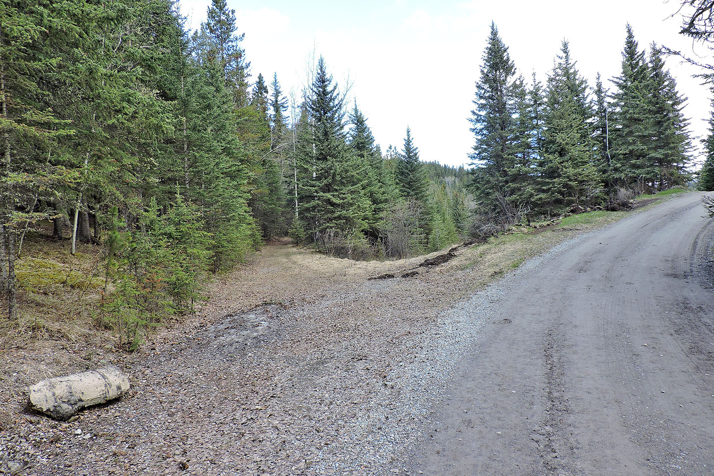
After walking a short way up the road, I turned left onto the trail
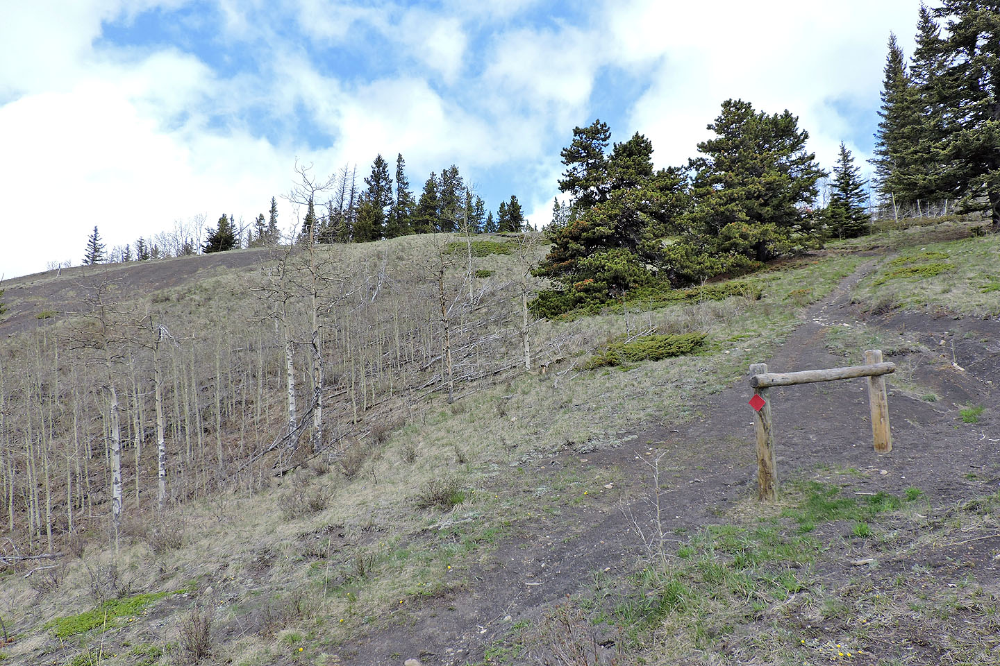
A little later I came to an intersection: left goes back to Sibbald Lake, right for Eagle Hill
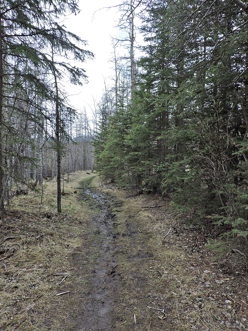
The trail was muddy in places
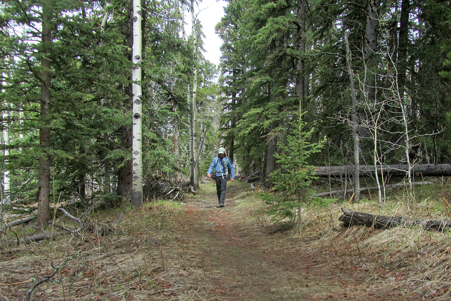
Lots of long, level stretches like this
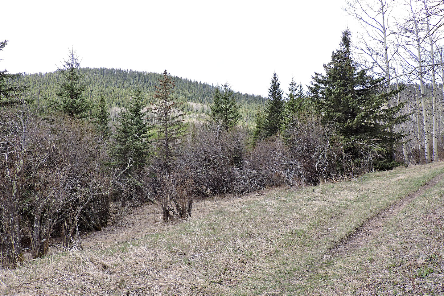
Deer Ridge is on the left
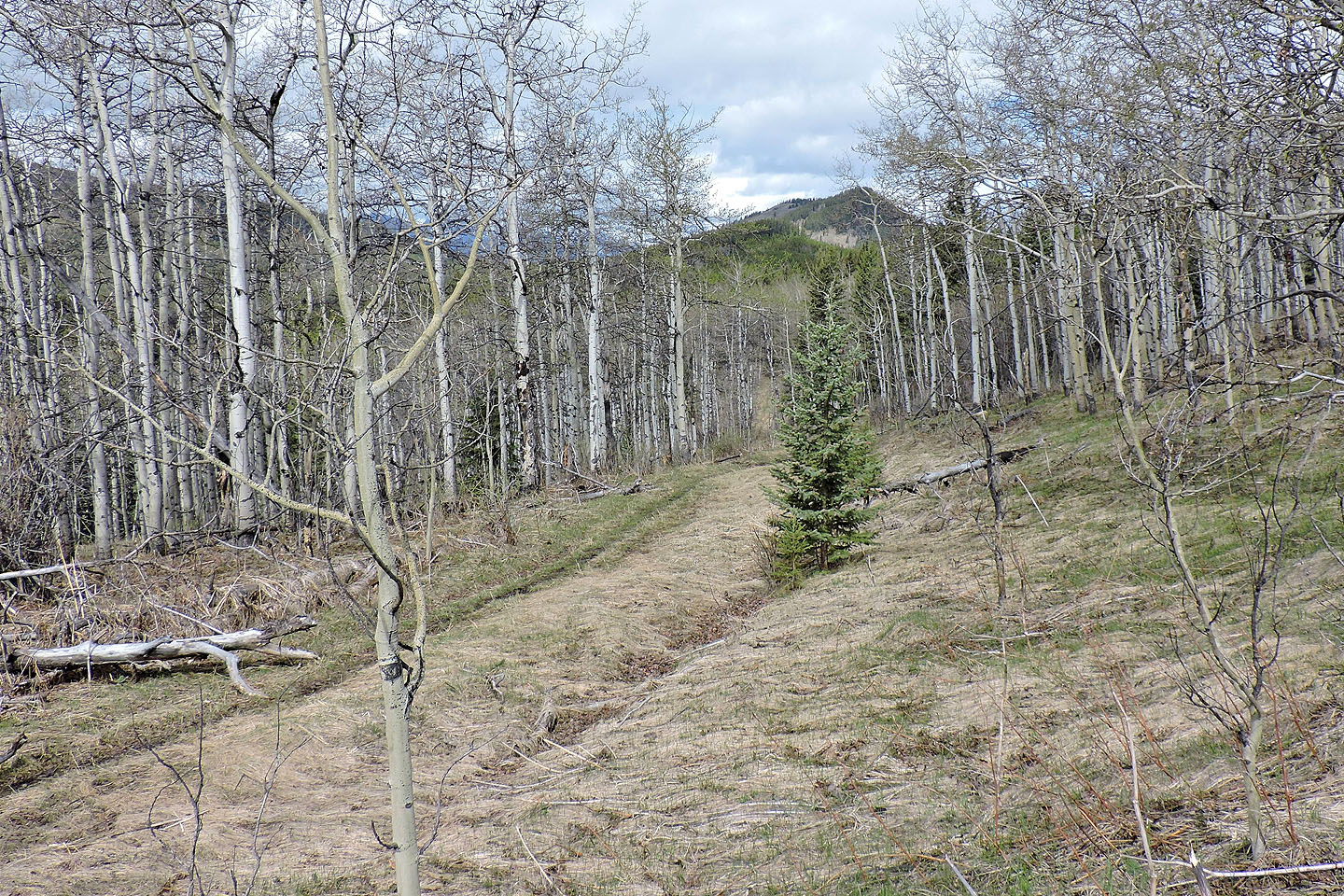
Eagle Hill appears ahead
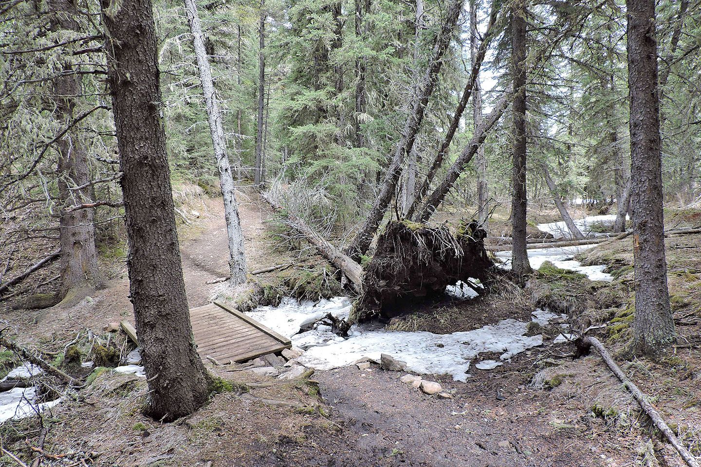
After losing 50 m the trail crosses a creek
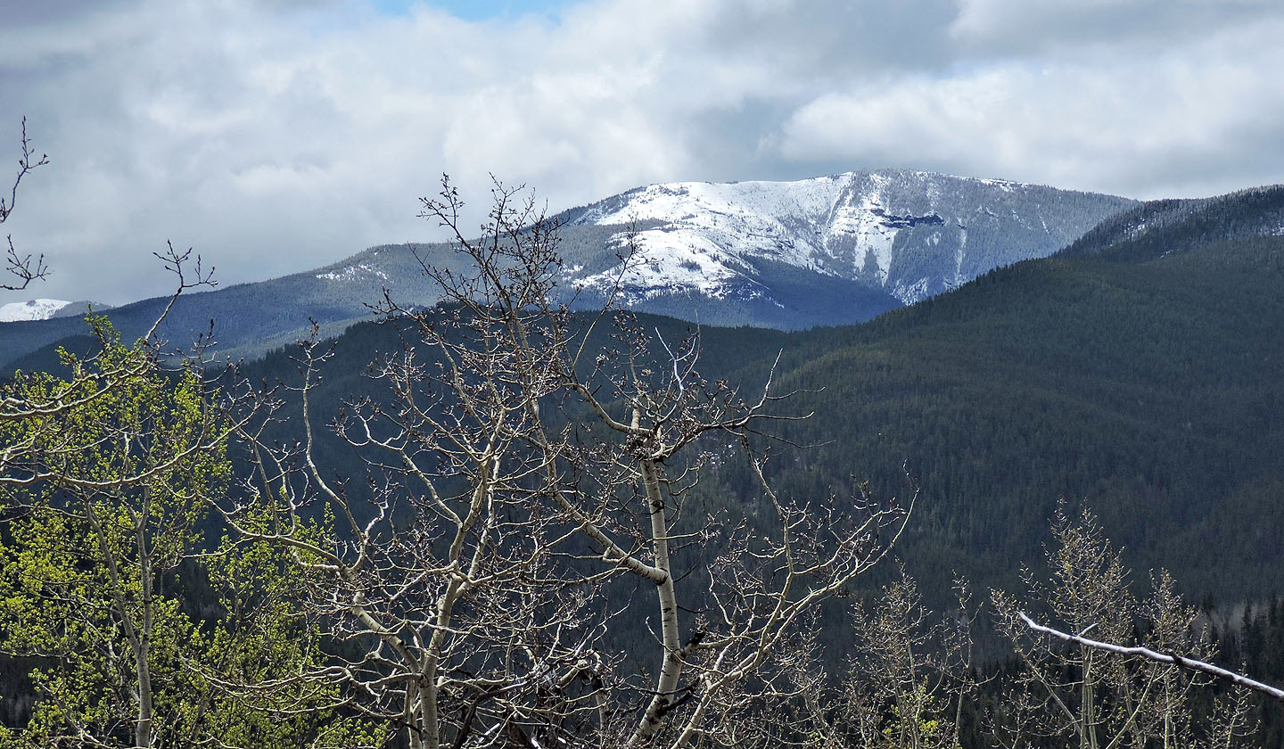
Cox Hill is covered in snow
The summit isn't far from the junction for Seventy Buck Valley trail
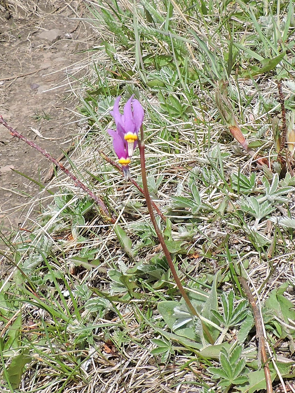
Shooting star
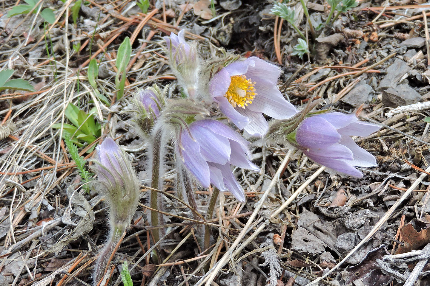
Pasqueflower
You can hitch your horse below the summit
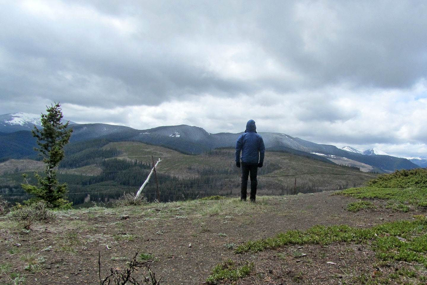
Taking in the views from the top
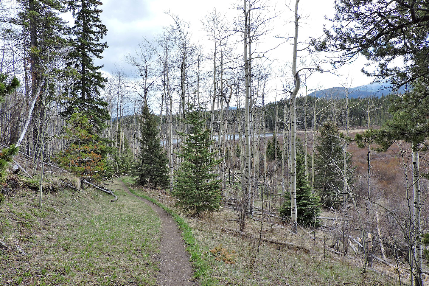
On the return trip, I passed Moose Pond
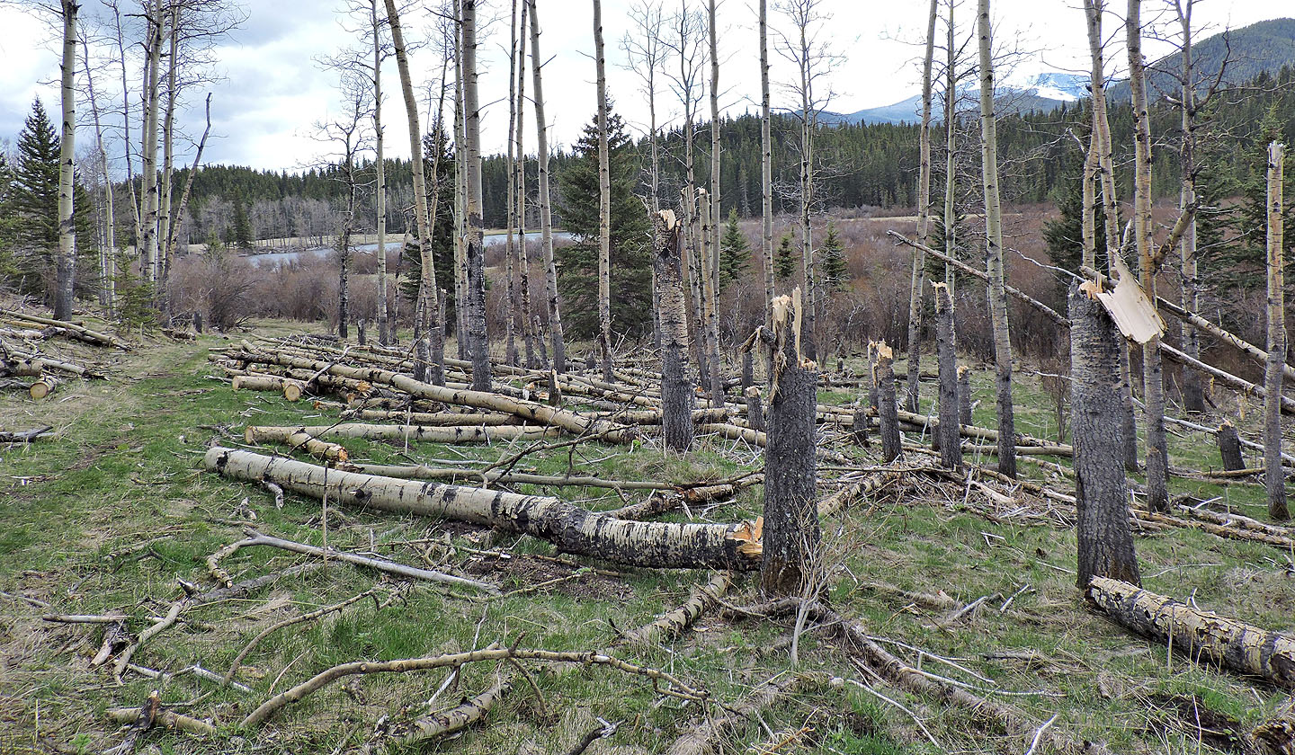
Apparently a wind storm blew through here recently and snapped off several trees
Looking back after I took the left fork by the pond. The lower trail leads back to the parking lot but avoids climbing over the end of the ridge
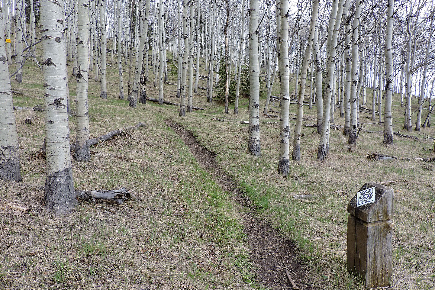
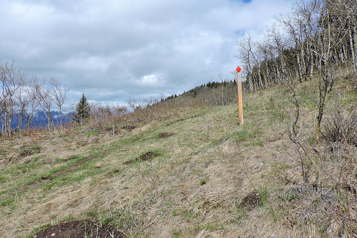
Numbered posts count down back to the parking lot. Be sure to keep right at the next junction; the left leads to the first junction that I encountered after starting out.
82 O/2 Jumpingpound Creek