bobspirko.ca | Home | Canada Trips | US Trips | Hiking | Snowshoeing | MAP | About
View from Mackay Mountain
Mackay Hills
Kananaskis, Alberta
August 22, 2015
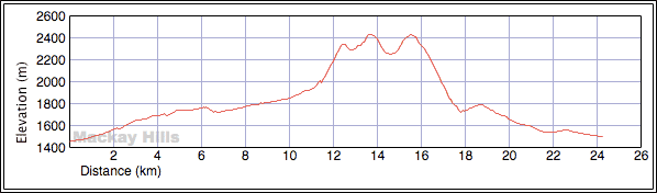
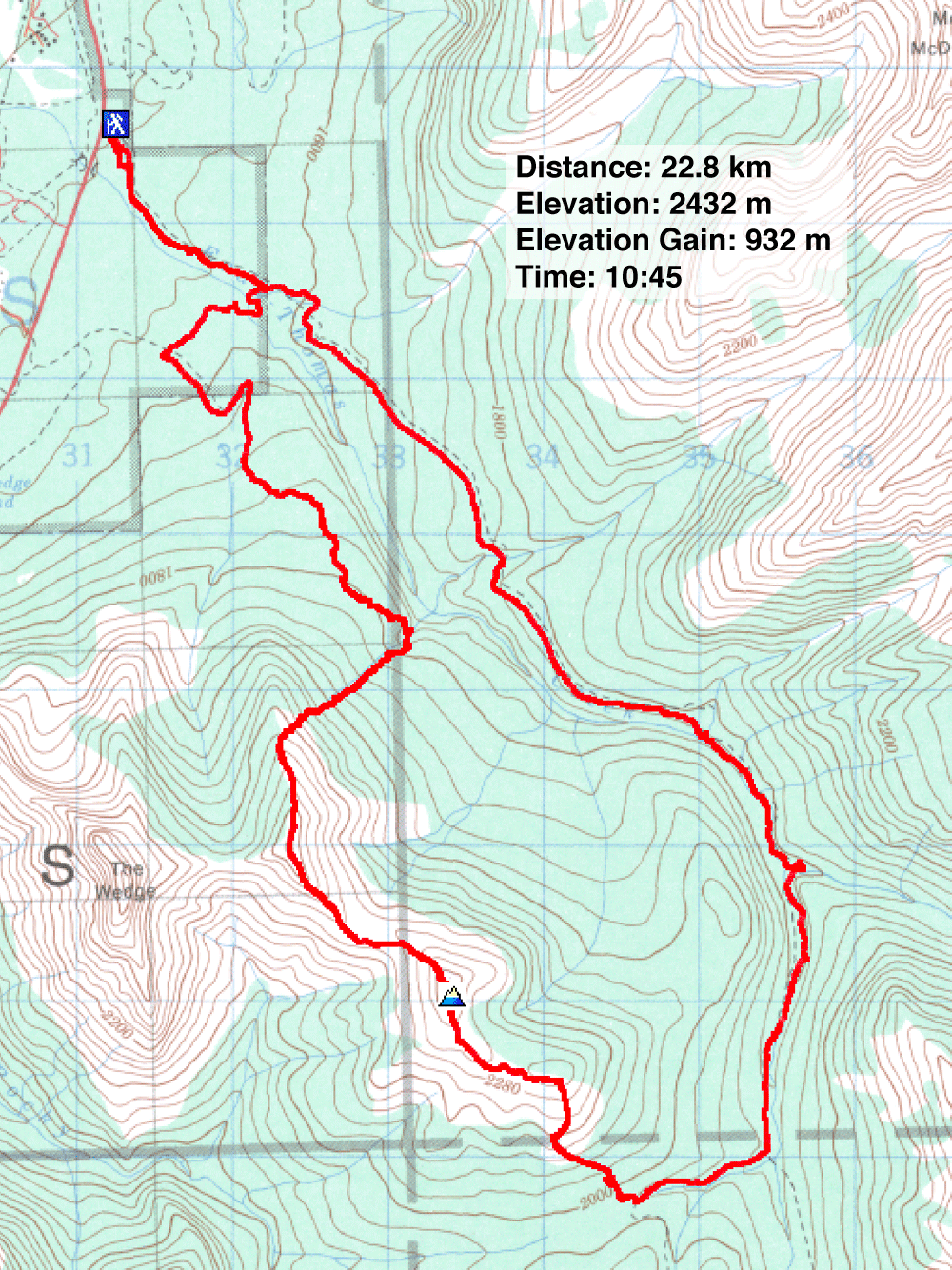
Distance: 22.8 km (14.2 mi)
Cumulative Elevation Gain: 1360 m (4462 ft)
I wasn't particularly drawn to hike Mackay Hills in the summer, not when there are bigger and better peaks to do. But when unseasonable weather dumped snow in the mountains, and Sonny invited me to join him, Marko and Amelie to hike up the Hills, I agreed. We were expecting a pleasant hike, but it turned into a bit of an ordeal.
Sonny proposed doing a loop. We would hike up Evan-Thomas Trail and turn off onto the trail leading to Rocky Creek Pass. From there we would hike over the three peaks of Mackay. After the last peak, we would continue along the ridge before dropping down the east side to intersect an old trail. That would put us on course to reach maintained trails leading back to our car.
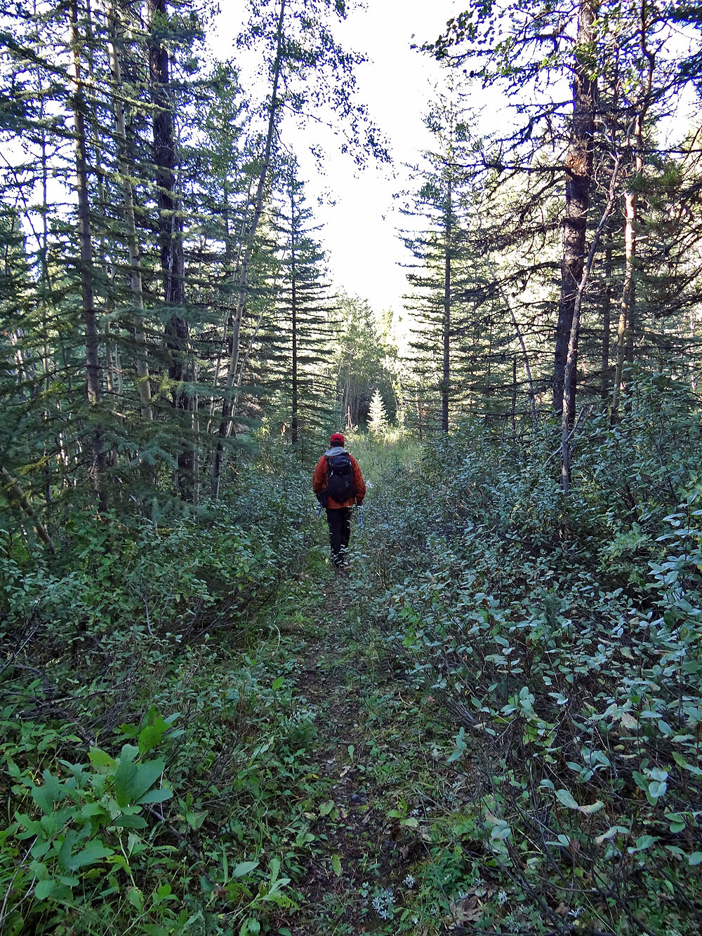
All went well for the first couple of kilometres. Not surprisingly, trail sections were ripped away in the 2013 flood, but new trail sections were already connecting the dots. What was surprising was the bushwhacking we encountered a half-hour into our trip. Heavy, wet snow from the previous day had bowed trees and bushes over the trail. For hundreds of metres, we had to push our way through wet, snow-covered foliage.
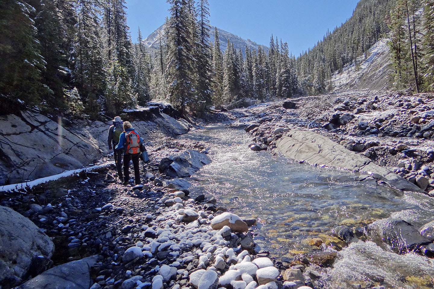
Even after the trail cleared, we faced more difficulties. Hundreds of metres of trail were lost to the flood, and no trails were built to bypass them. At times we had to hike along the rocky bank of Evan-Thomas Creek.
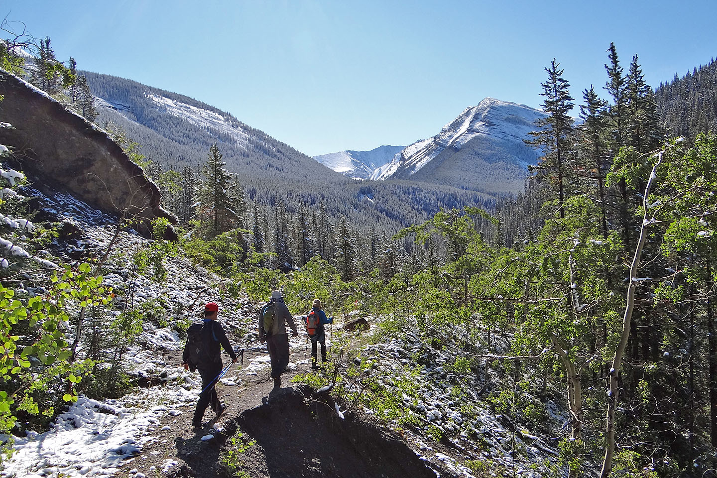
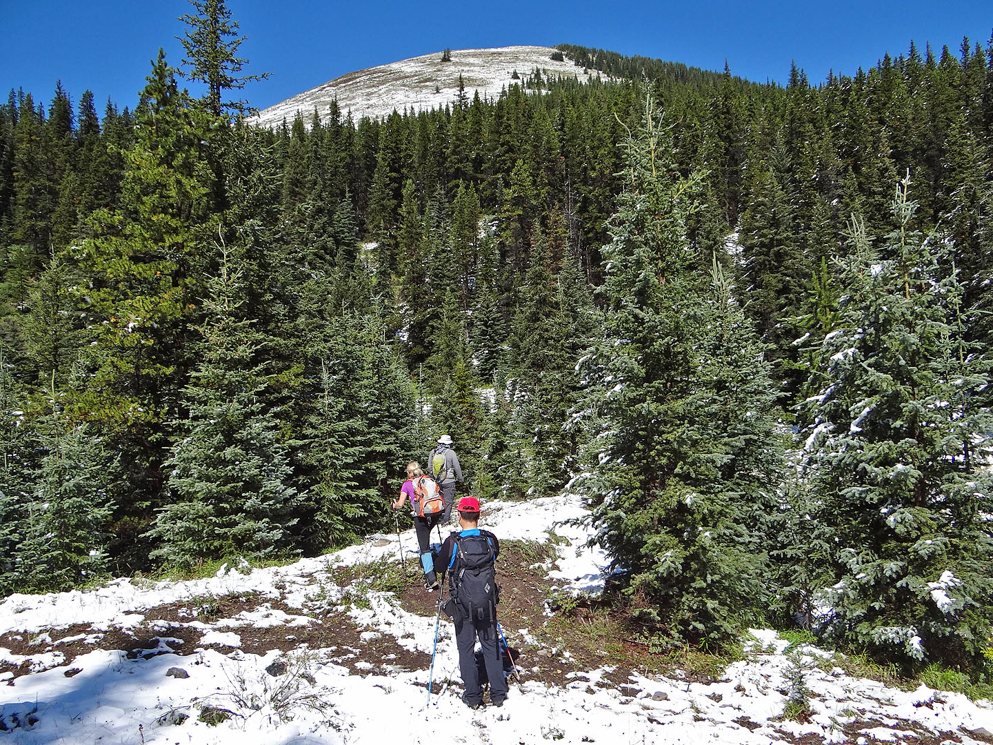
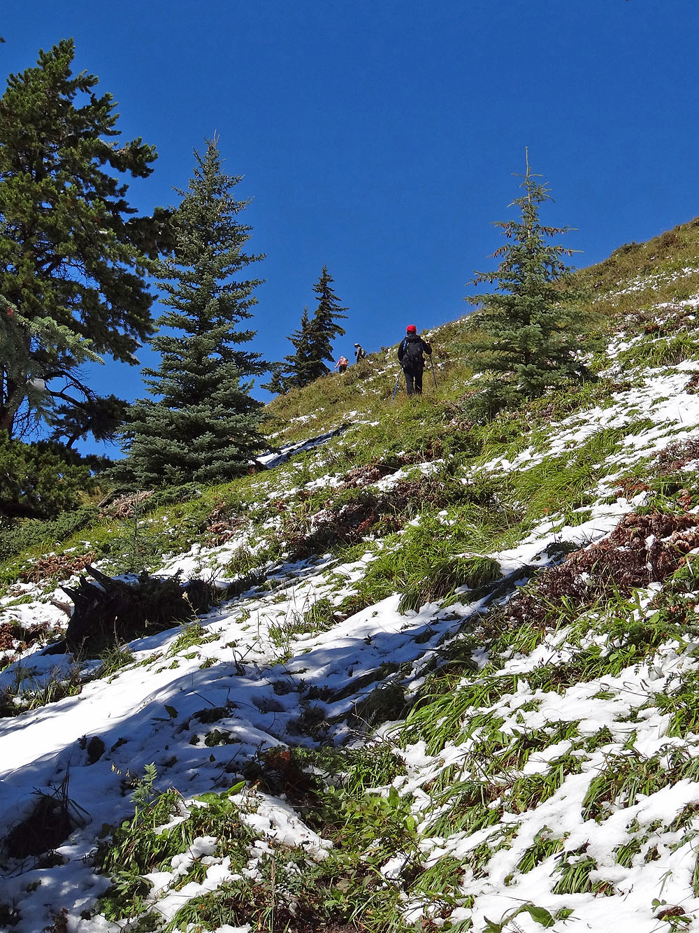
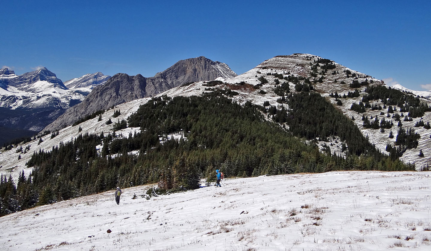
When the trail pulled away from the creek, however, it became reliable, and we easily reached Rocky Creek Pass. There we took the side trail that starts up the South Peak. Soon we were out of the trees, hiking up the sheep trail that cuts into the grassy west slope. The trail keeps low, however, so we left it to reach the South Peak.
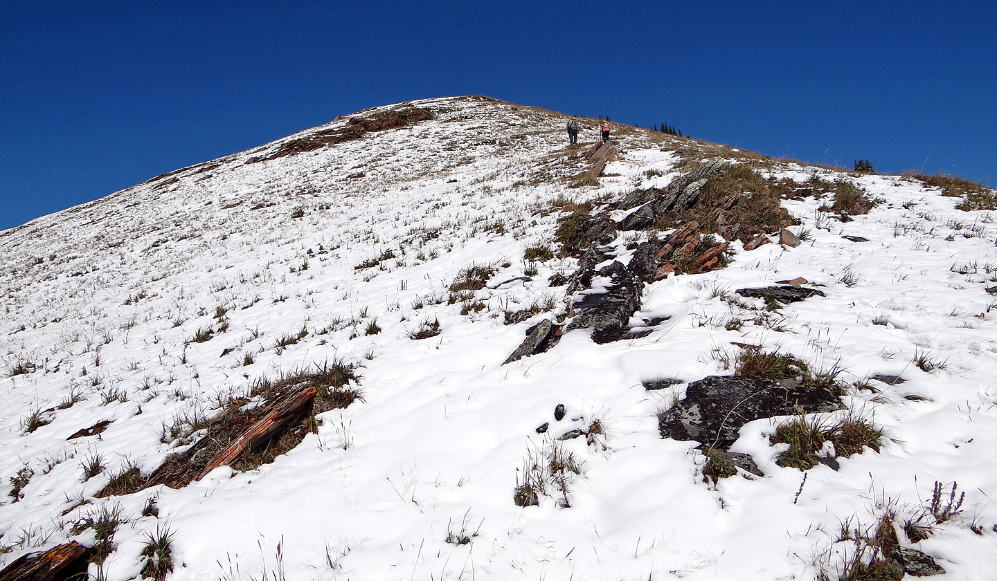
From the South Peak, we made our way up and over the Centre and North Peaks of Mackay Hills. We assumed the North Peak – aka Mackay Mountain – was the highest, but Centre Peak beats it by a few metres.
Washed-out trail sections aside, we had no difficulties finding our way up and over Mackay Hills. But a loop is a different matter, one that calls for bushwhacking and routefinding. Kananaskis Country Trail Guide says to continue along the ridge before descending the east slope to a gully that intersects an old prospector's trail.
We found the gully all right, but not the old trail. Instead, we came across a good animal trail running alongside the gully. (We hit this trail partway so undoubtedly it begins farther up the ridge from where we started.) The animal trail should have crossed the prospector's trail, but if it did, we didn't see it. Following the animal trail, we descended 350 m before leaving it at the lip of a canyon. We struck out across a wooded slope to get back on track. Unfortunately, it was a nightmare of deadfall. Fallen trees piled up chest-high while dense bushes plugged any gaps. Fighting through bushes, climbing over, under and around the wet logs was tedious; it took half an hour to cover a mere 250 m.
Eventually we put the deadfall mess behind us and made our back along welcomed trails to the Evan-Thomas Creek parking lot nearly 11 hours after we left it. We were glad to get back. Mackay Hills offered more adventure than we bargained for – or wanted.
KML and GPX Tracks
Sonny's Trip Report
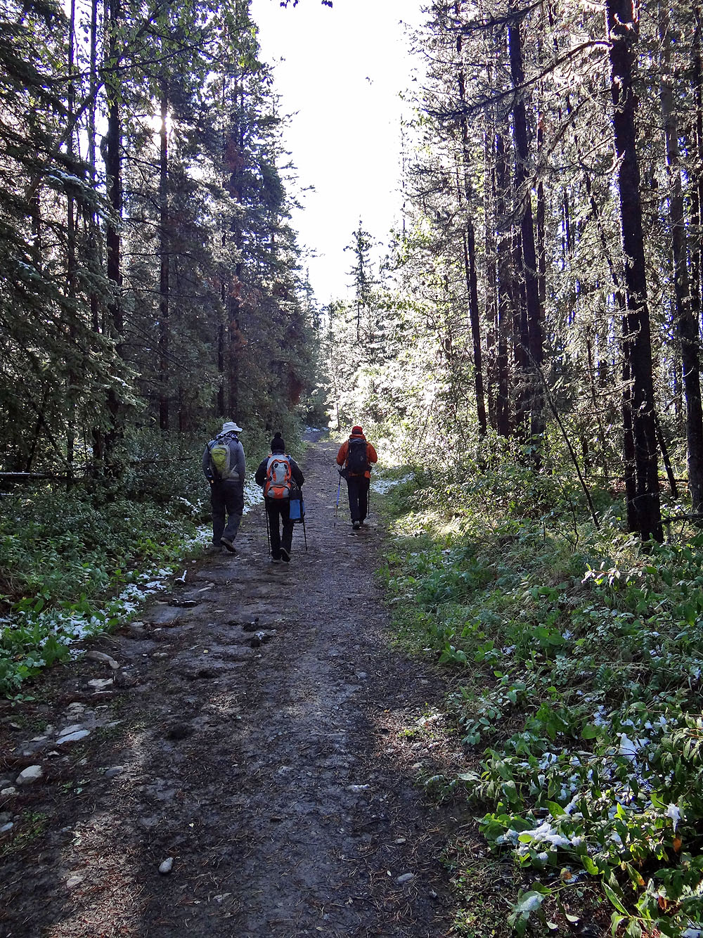
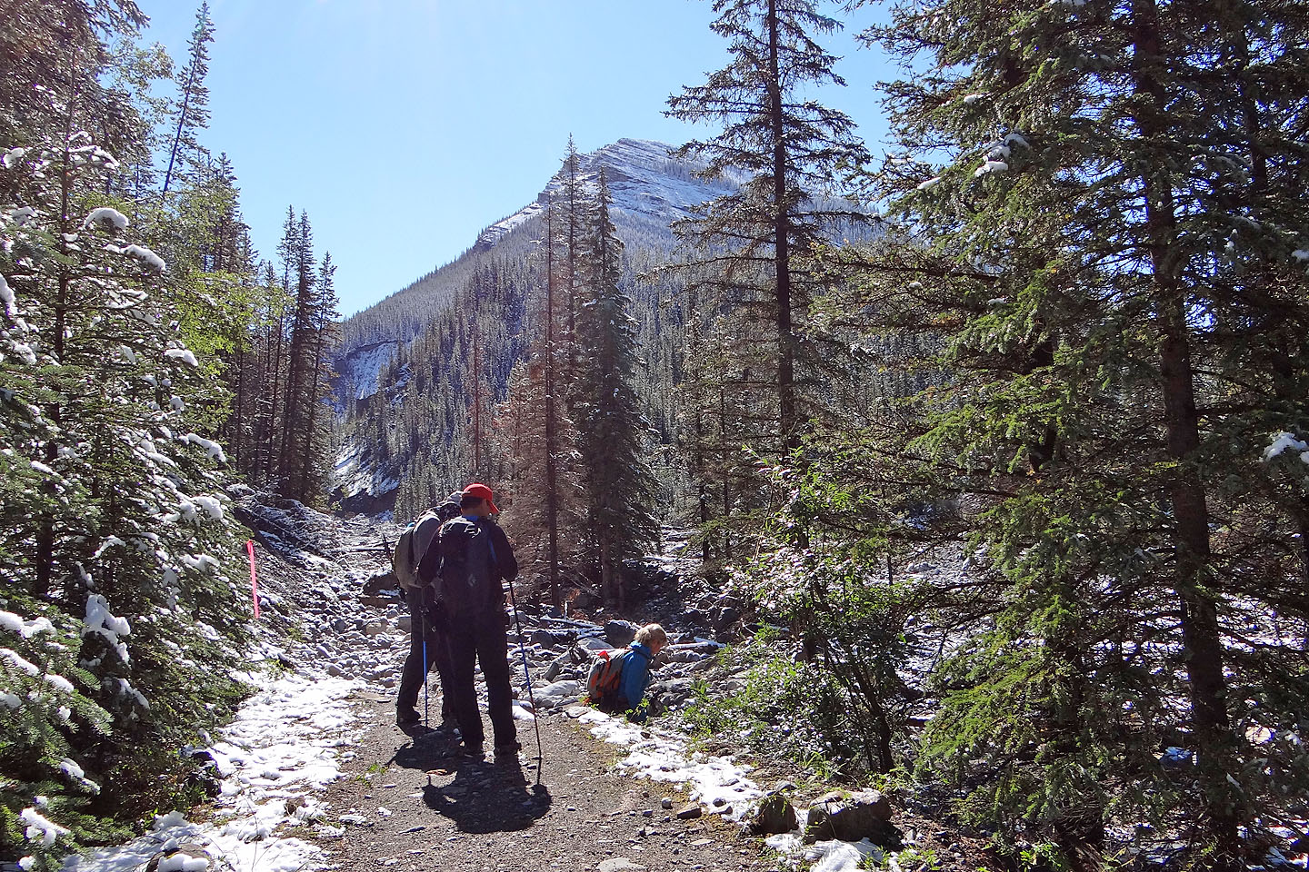
Evan Thomas trail begins well
Centre Peak, North Peak and The Wedge
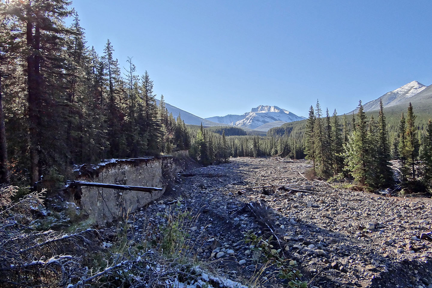
Trail sections were lost to the flood but we found nascent trails
All three peaks of Mackay Hills
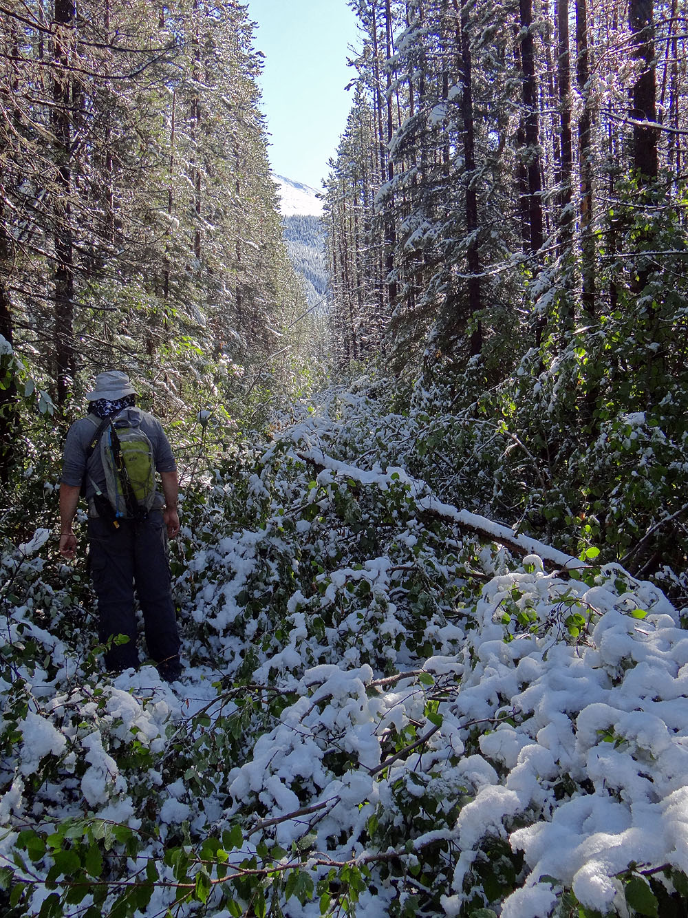
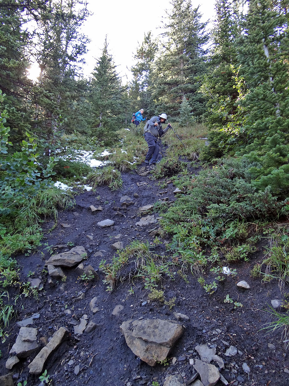
We were forced to bushwhack parts of the trail
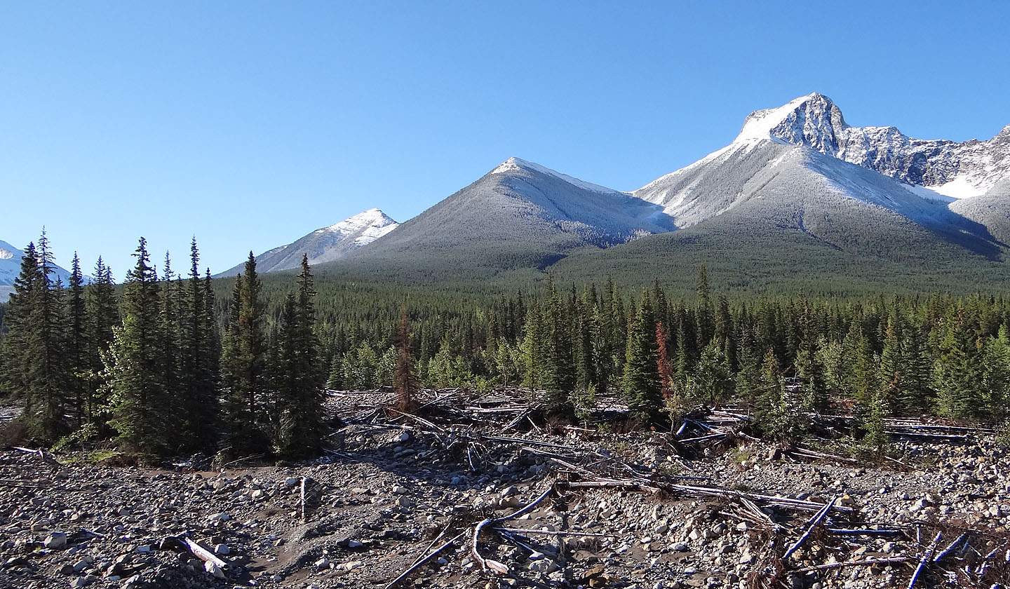
Ahead is the north ridge of Fisher Peak
Here the trail was washed away but resumes ahead
Just before Canyon Creek, we found another section of trail gone
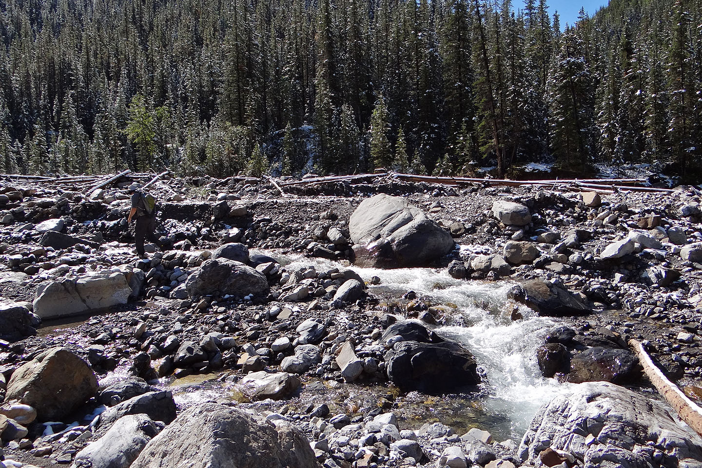
Marko looks for a place to cross Canyon Creek
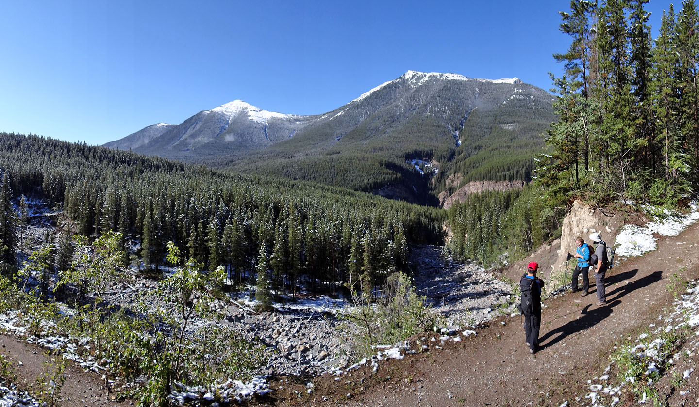
Connecting the dots on another missing trail section along Evan-Thomas Creek
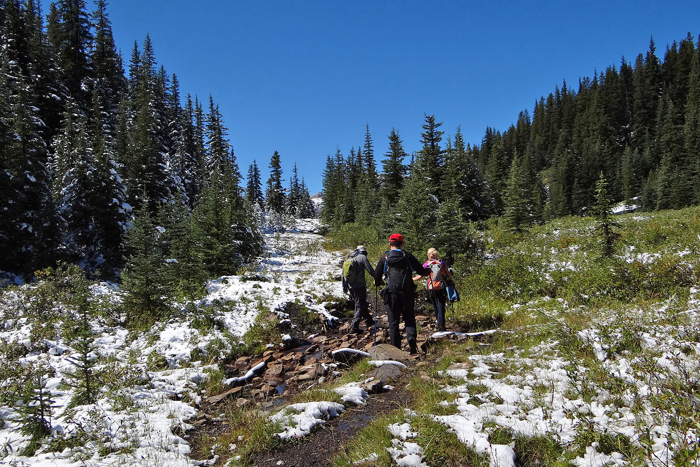
Heading to Rocky Creek Pass
Starting up a side trail to the South Peak
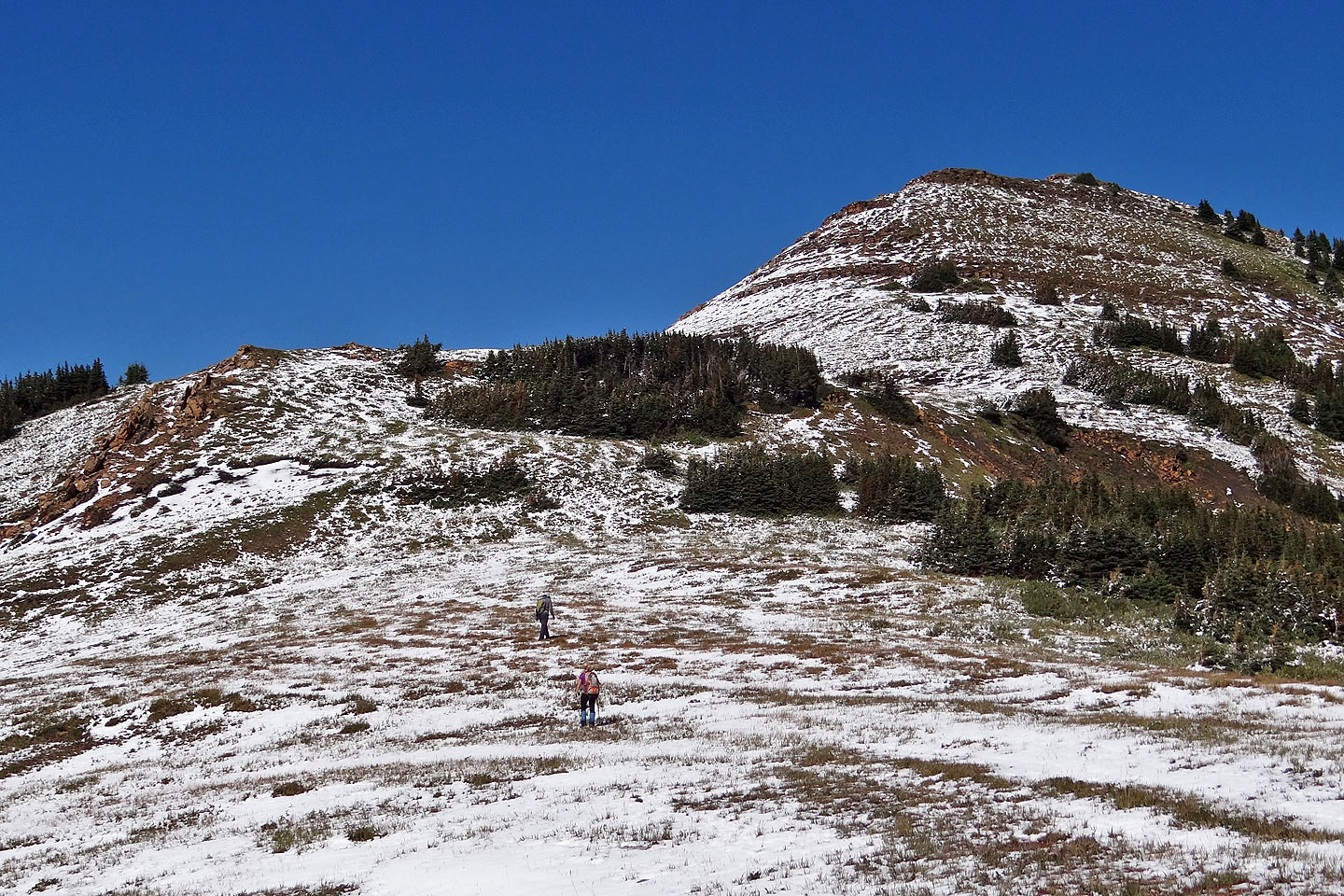
Breaking out of the trees
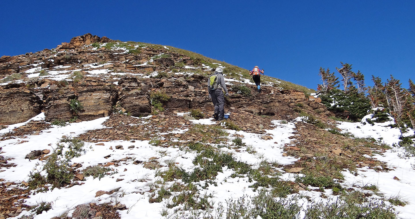
Coming up to the summit of the South Peak
On to the Centre Peak
On the lower slopes of the Centre Peak
Travel was easy on the right side of the ridge
Looking back at the South Peak. Sonny is the dot on the lower right
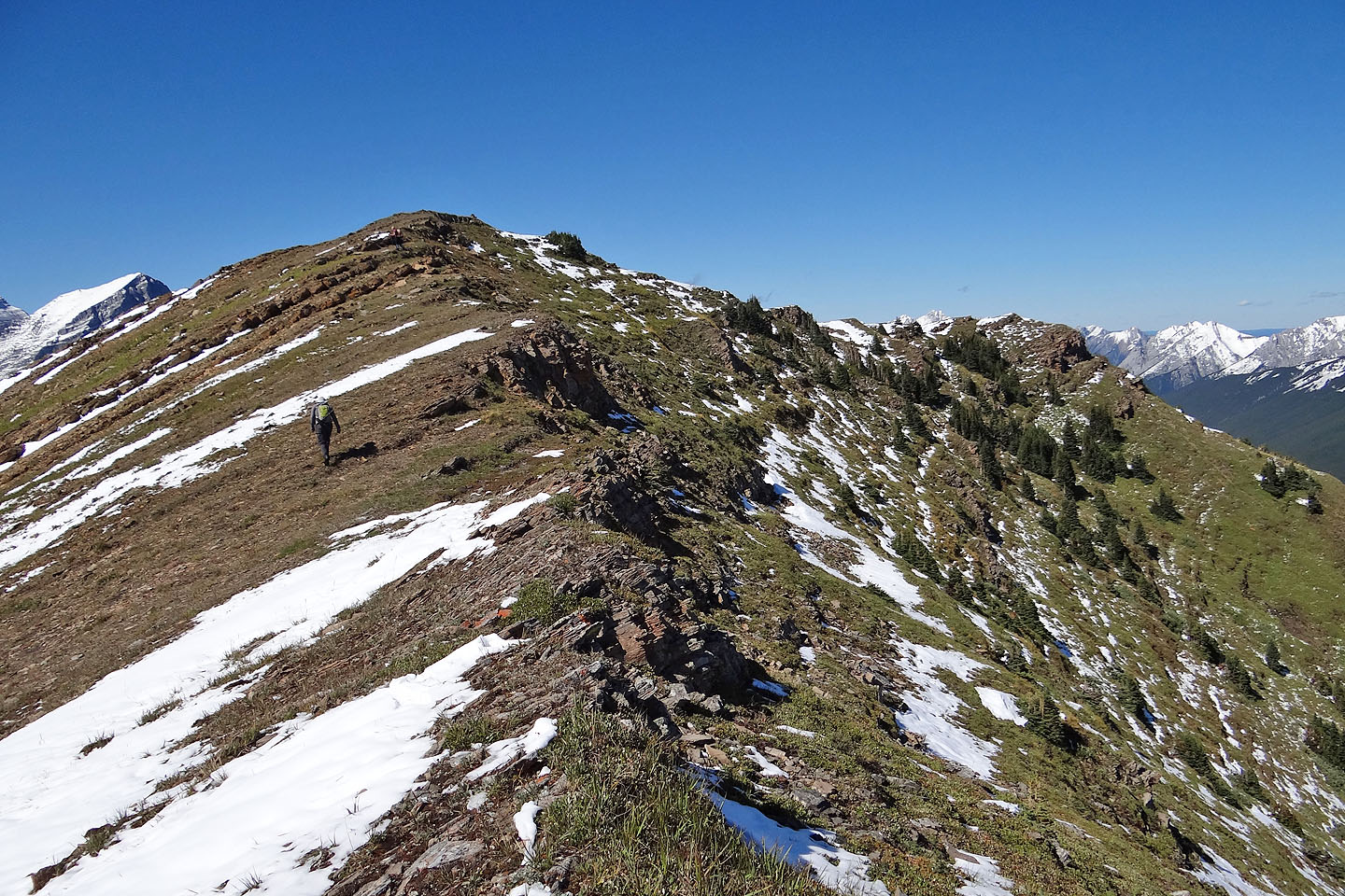
Marko approaches our second summit
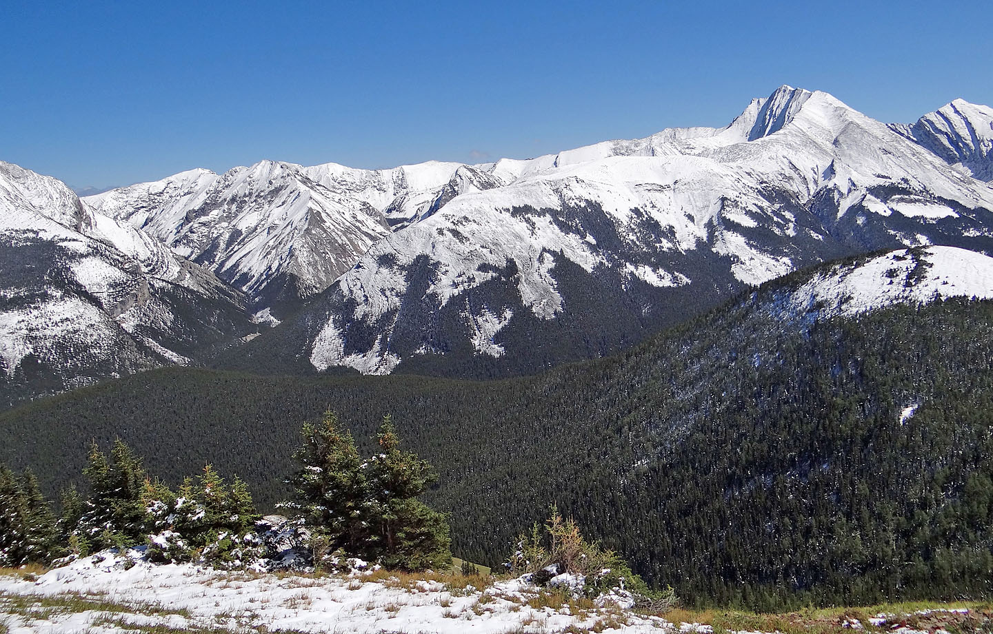
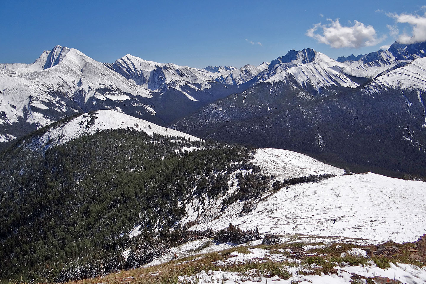
Fisher Peak rises above all else
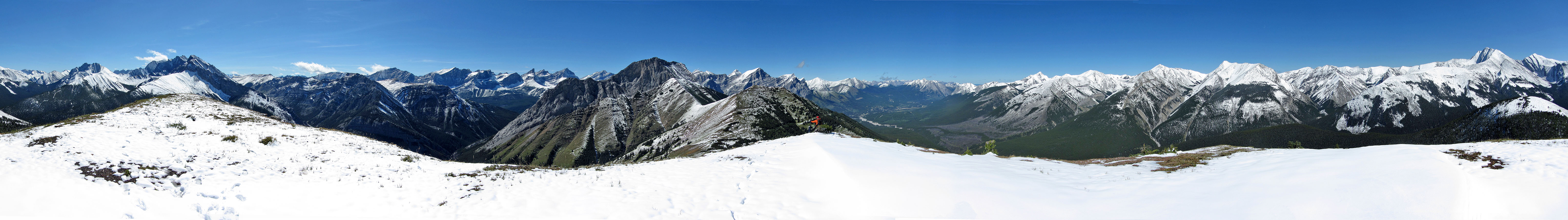
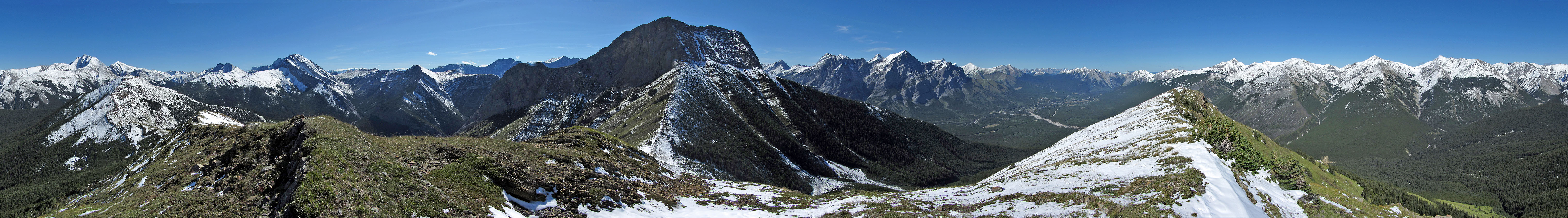
Panorama from the Centre Peak
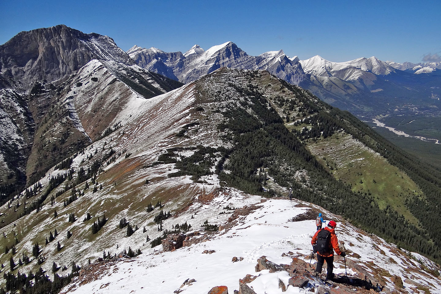
Heading to the North Peak
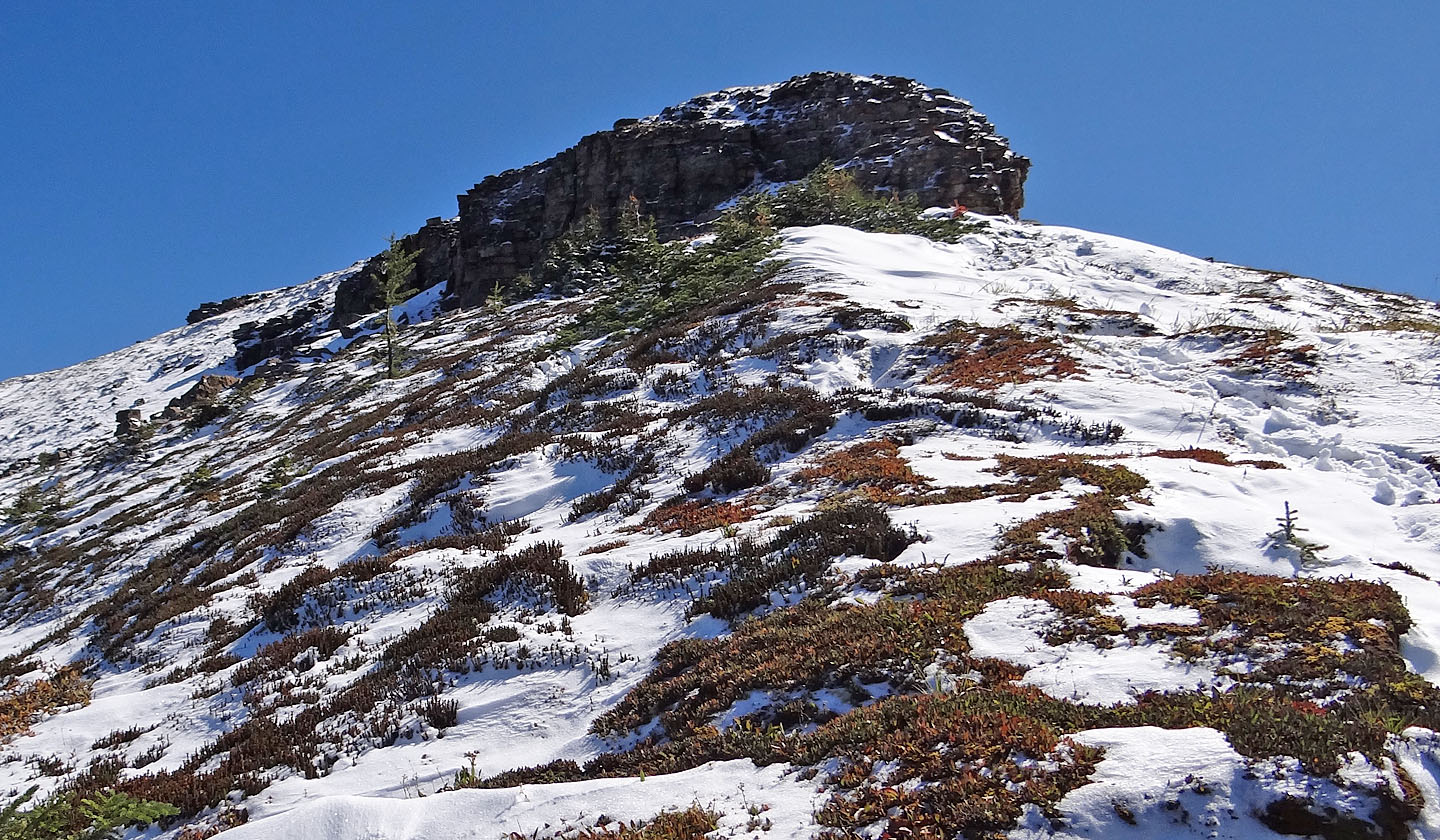
Looking back at the cliff band below the summit: Marko scrambled down the end while the rest
of us came down
a weakness on the left
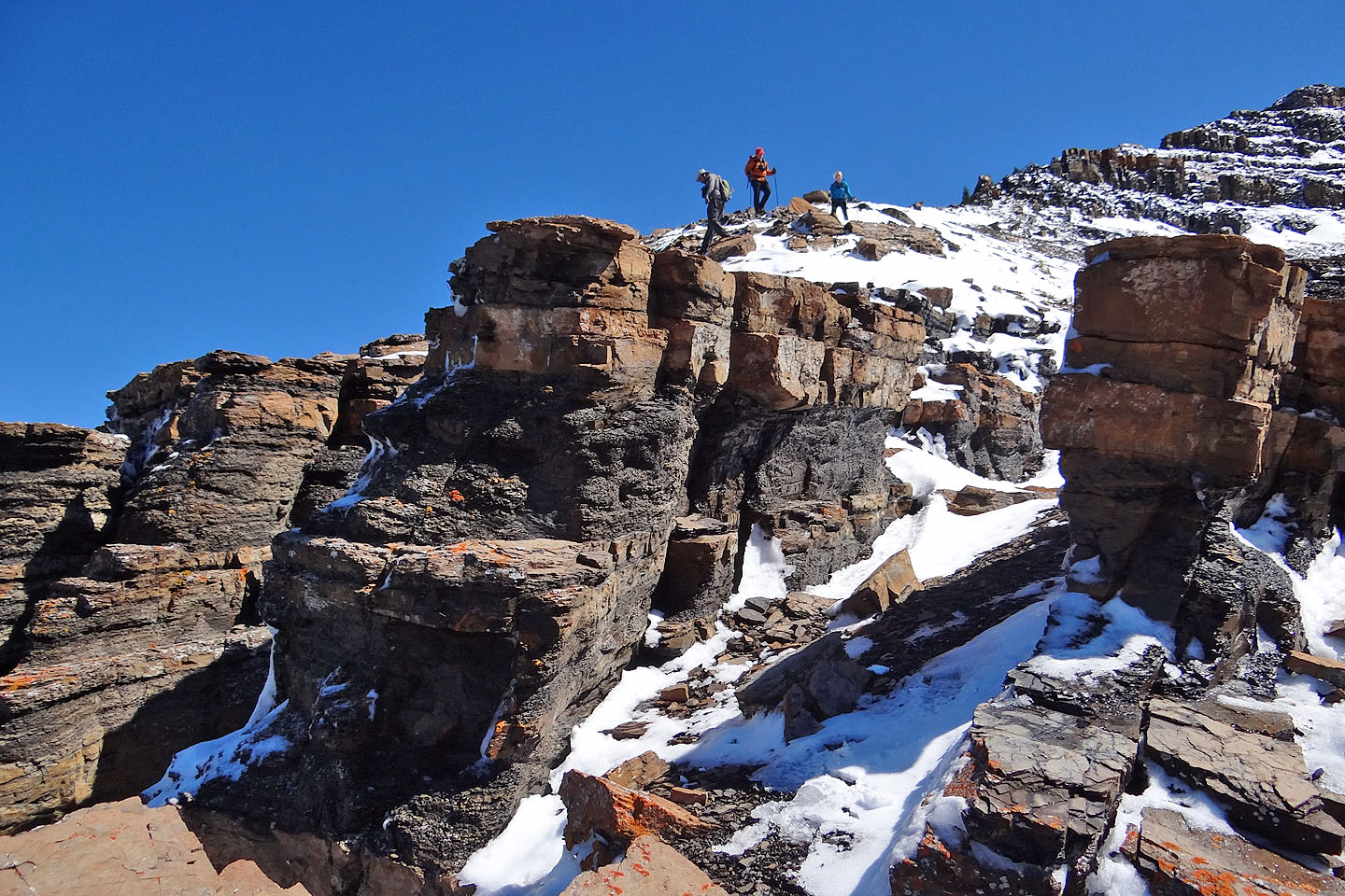
Cool rocks near the bottom
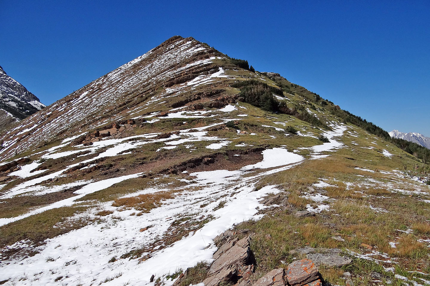
After losing nearly 200 m, we faced ascending almost the same elevation up the North Peak
Looking back at the Centre Peak
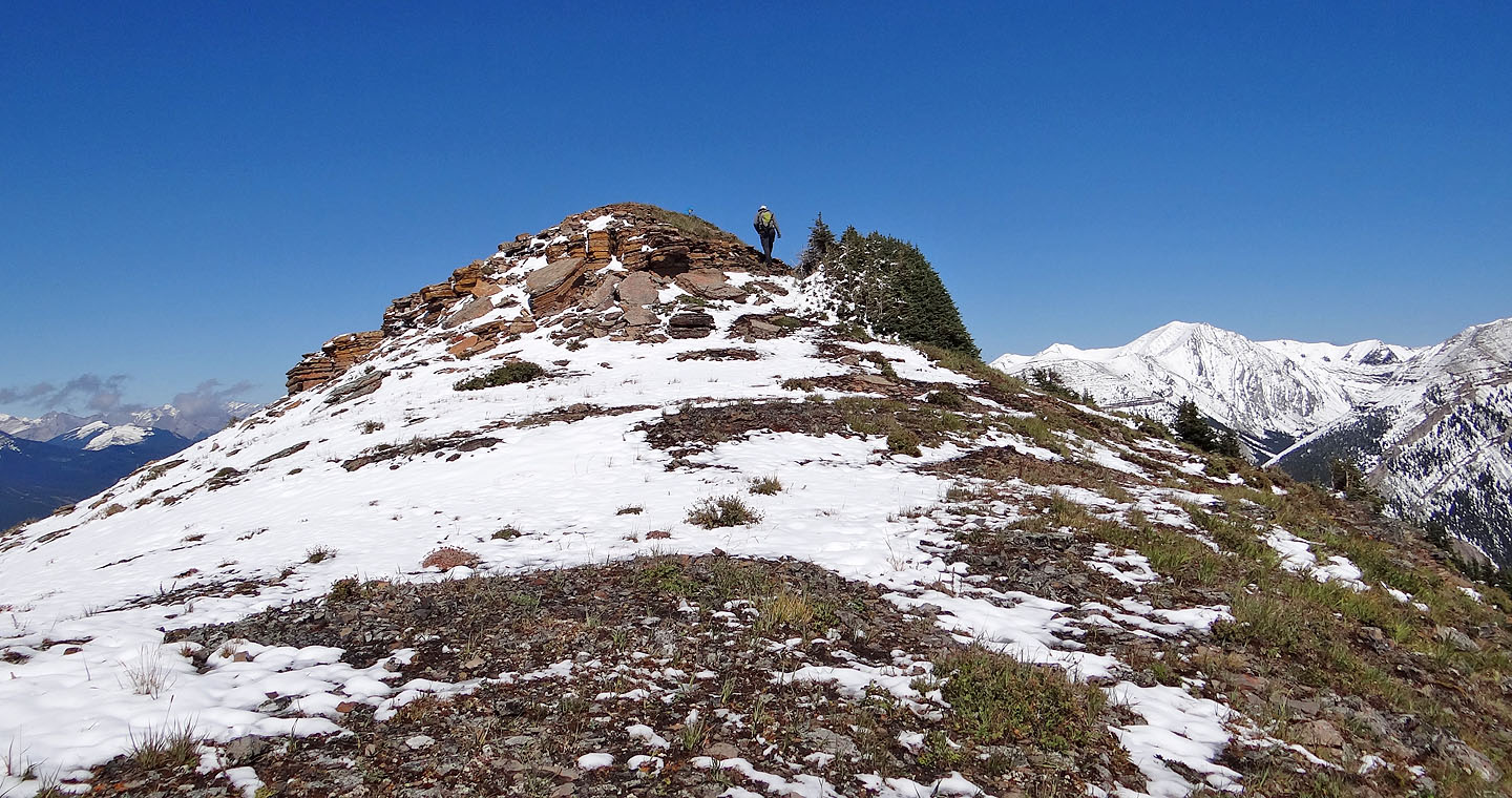
The summit cairn is barely visible
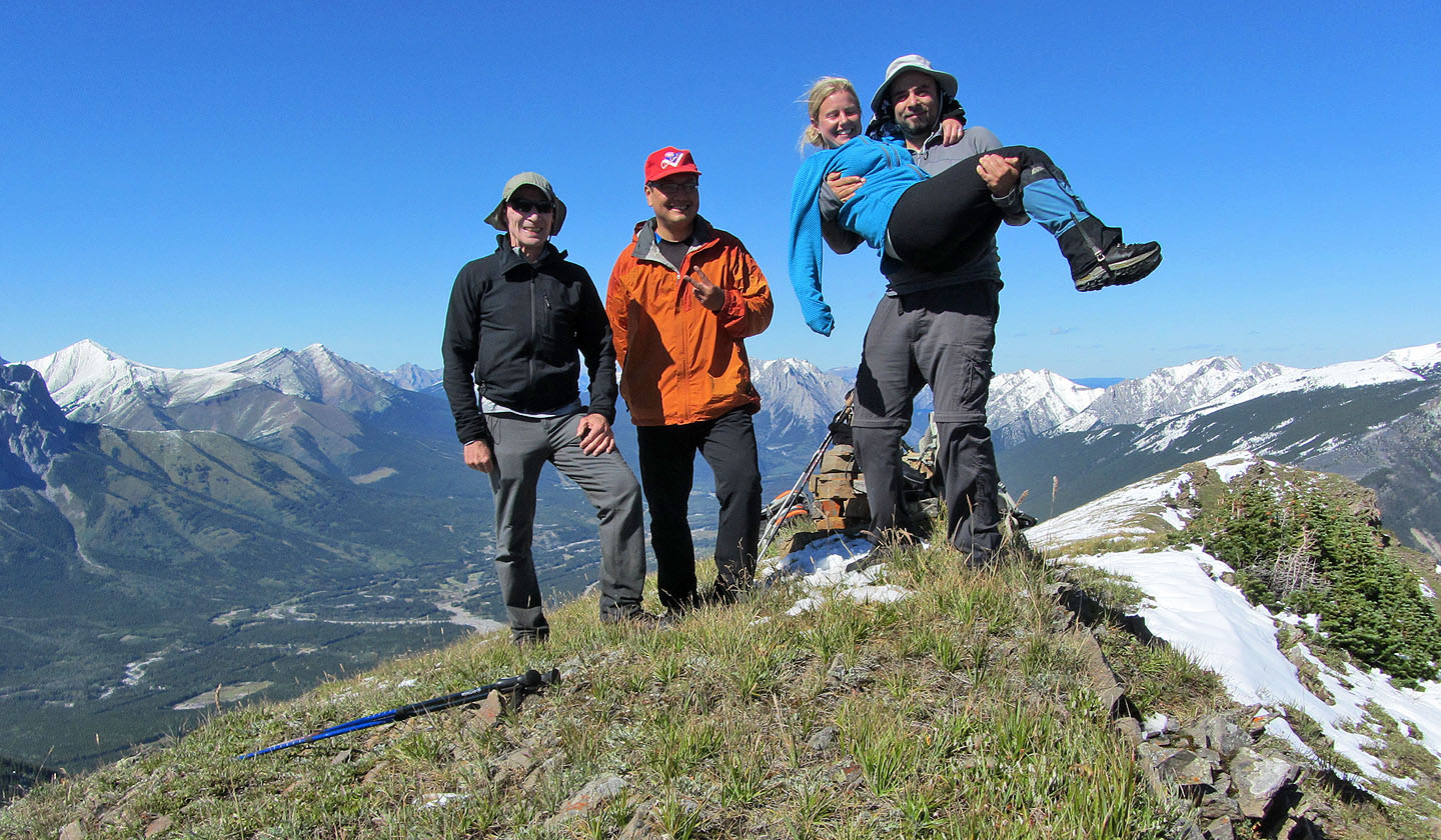
Me, Sonny, Amelie and Marko on the North Peak
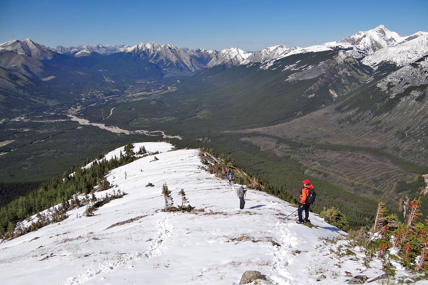
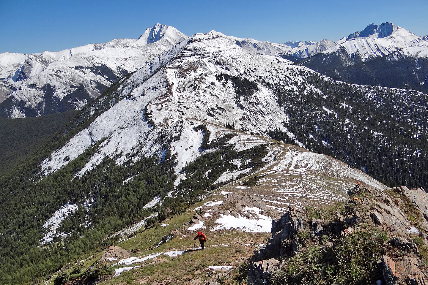
Hiking down the north end of the ridge
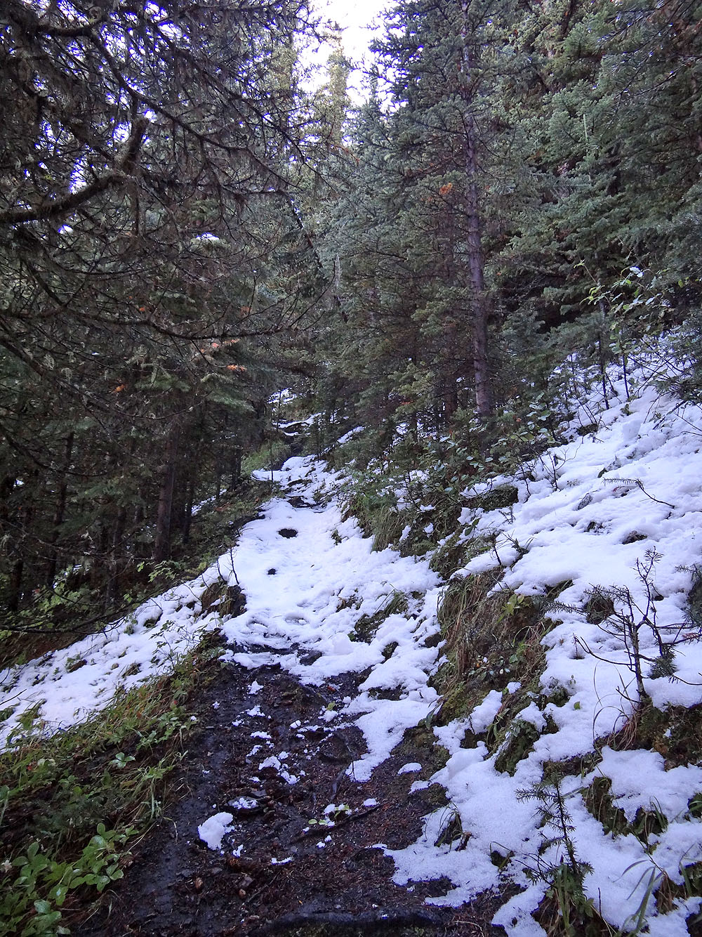
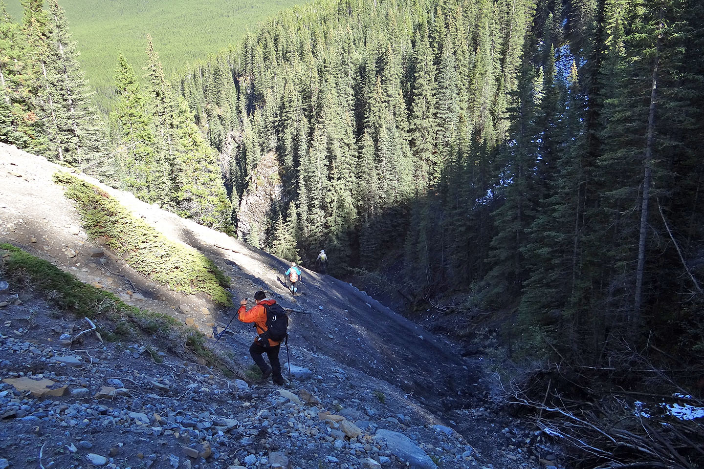
Looking up the trail at the point we came across it
Coming down the steep trail
The trail leads to a canyon
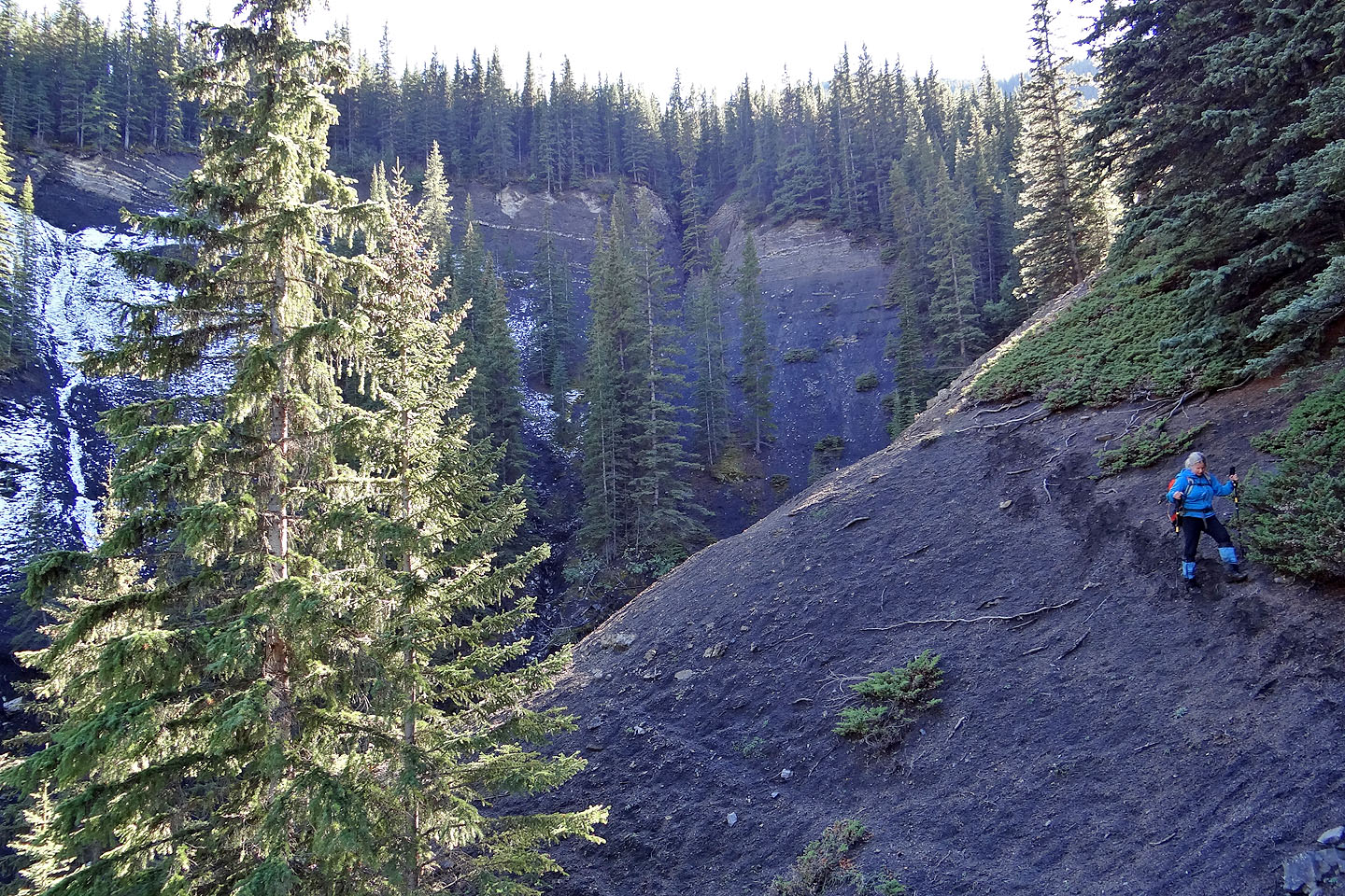
Skirting the lip of the canyon
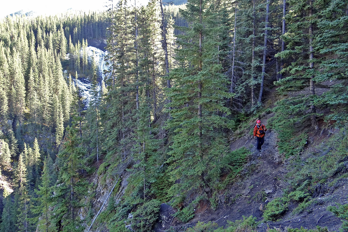 After this point,
we left the trail and bushwhacked to our planned route
After this point,
we left the trail and bushwhacked to our planned route
After some agonizing bushwhacking, we're glad to be back on a trail
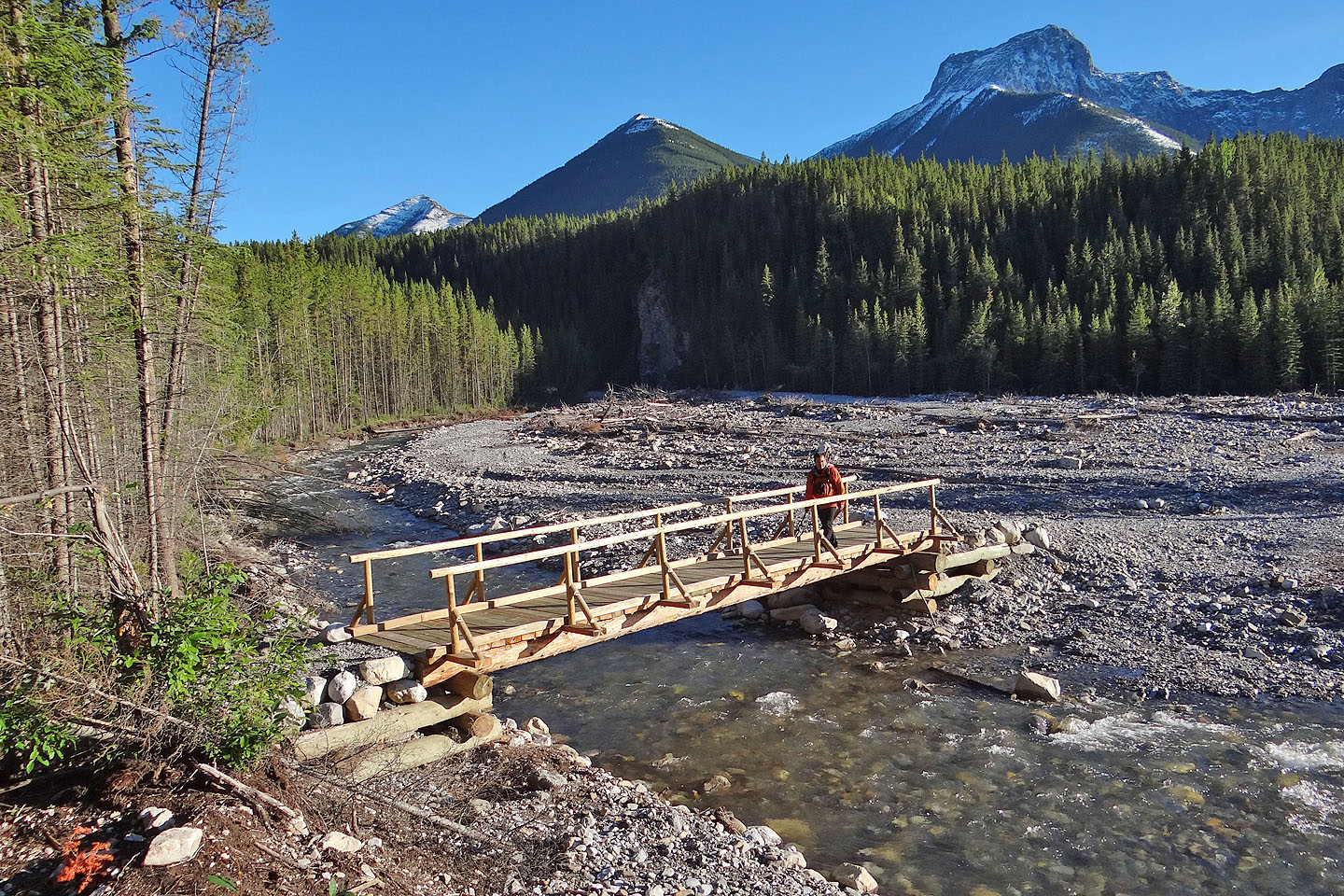
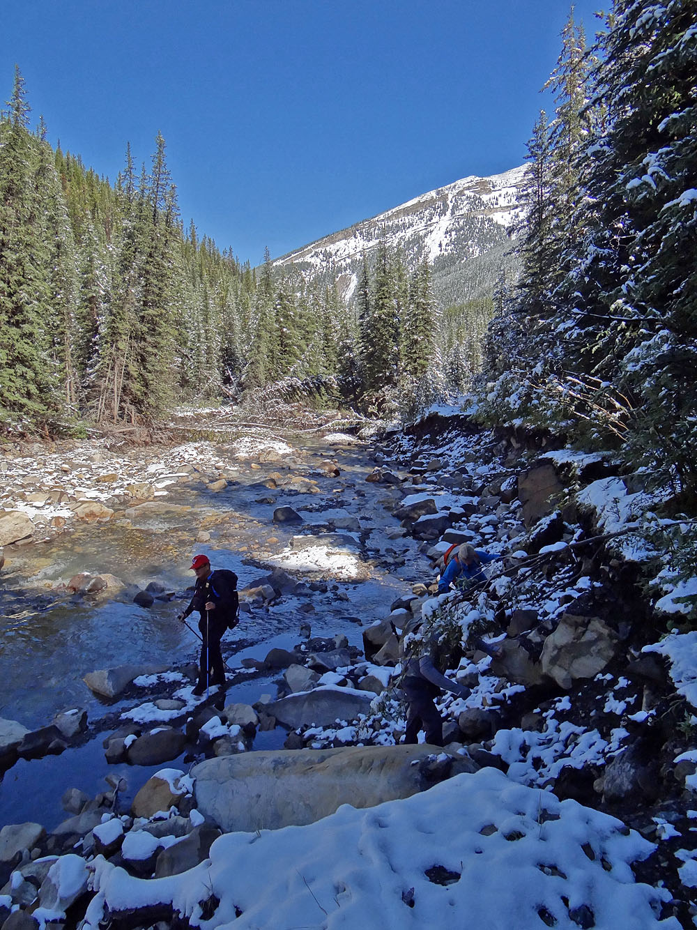
After crossing Evan-Thomas Creek, we'll soon be back on Evan-Thomas Trail
82 J/14 Spray Lakes