bobspirko.ca | Home | Canada Trips | US Trips | Hiking | Snowshoeing | MAP | About
Mount Nomad
Kananaskis, Alberta
August 26, 2017
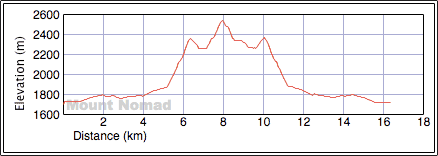
Distance: 16.4 km (10.2 mi)
Cumulative Elevation Gain: 1064 m (3491 ft)
Although Mount Nomad is ringed by taller peaks, unlike them, it’s only a hike. Moreover, the alpine lake that graces its base offers a tranquil rest stop. However, getting to the lake and the mountain involves a couple of drawbacks.
The route begins on the broad trail leading to Three Isle Lake. Zora and I followed it for 3.9 km before leaving it. Right after crossing the bridge over Invincible Creek we turned onto a side trail that follows the creek. In a short time, we came to an overgrown road, one of the drawbacks I mentioned. For much of its kilometre length, we pushed through tight little evergreens and clambered over logs strewn across the road. Eventually, we came to a cairn marking the departure from the road, up a steep trail. The trail begins with good intentions but dies well short of the crest. We made our way up through scrub and deadfall to the ridge top.
From the ridge, we eyed the summit of Nomad, less than 200 m above us. But to reach it we lost 107 m, the second drawback. At least there's a trail to begin with. We started down but unwittingly missed a fork and took a higher trail running parallel to the correct trail. (The correct trail, the right fork, is easy to miss but I later added flagging; we took it on the way back.) After dropping down to the correct trail, we followed it until it disappeared on an open slope. We made our way down to the creek below.
After crossing the dry creek, we started up Mount Nomad, first on a grassy slope and then on scree. However, by going through a gap between two outcrops, we avoided most of the loose scree. The final stretch to the summit was an easy ascent on a scree trail followed by a short ridgewalk.
We lingered for a time on the mountaintop before coming down. Instead of retracing our steps, we continued along the ridge. When we hit a drop-off, we descended a gully on our left and hiked down to Invincible Lake. While Zora stretched out beside the blue-green water, I walked around and took photos of the lake and Mount Nomad. Then with little enthusiasm – we faced an uphill climb and some unpleasant terrain before reaching the main trail – we turned our backs to the little peak and the beautiful lake and started back.

Starting up the trail
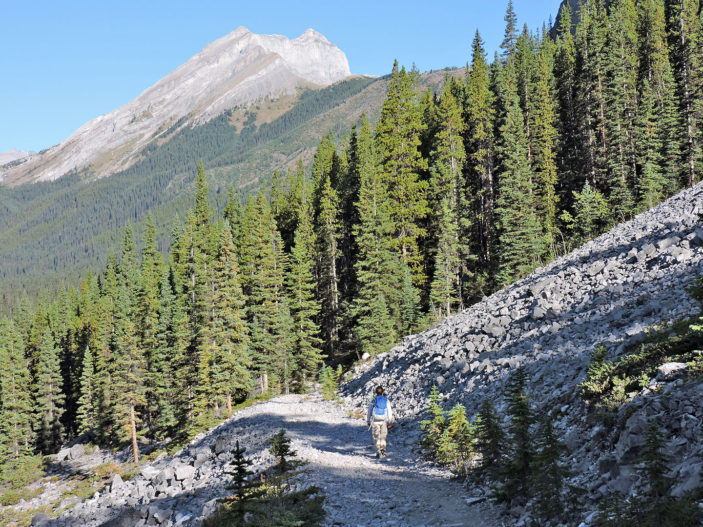
From the trail we can see the treed ridge (above Zora) we'll hike over
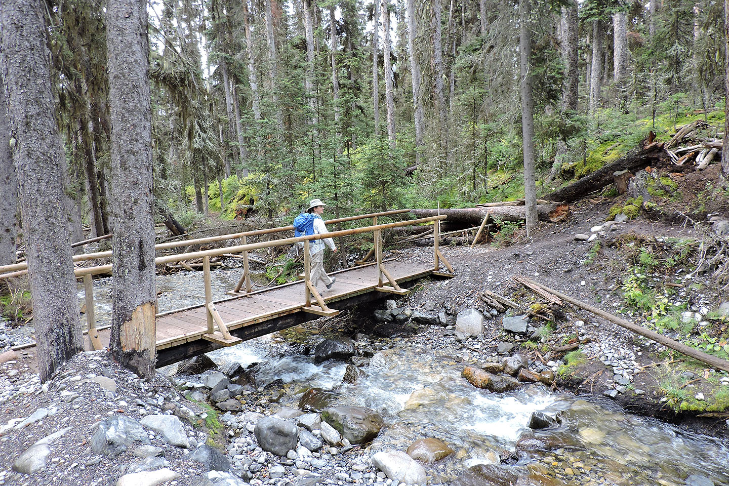
After the bridge, the main trail keeps left while the route to Nomad is right, following the bank at first
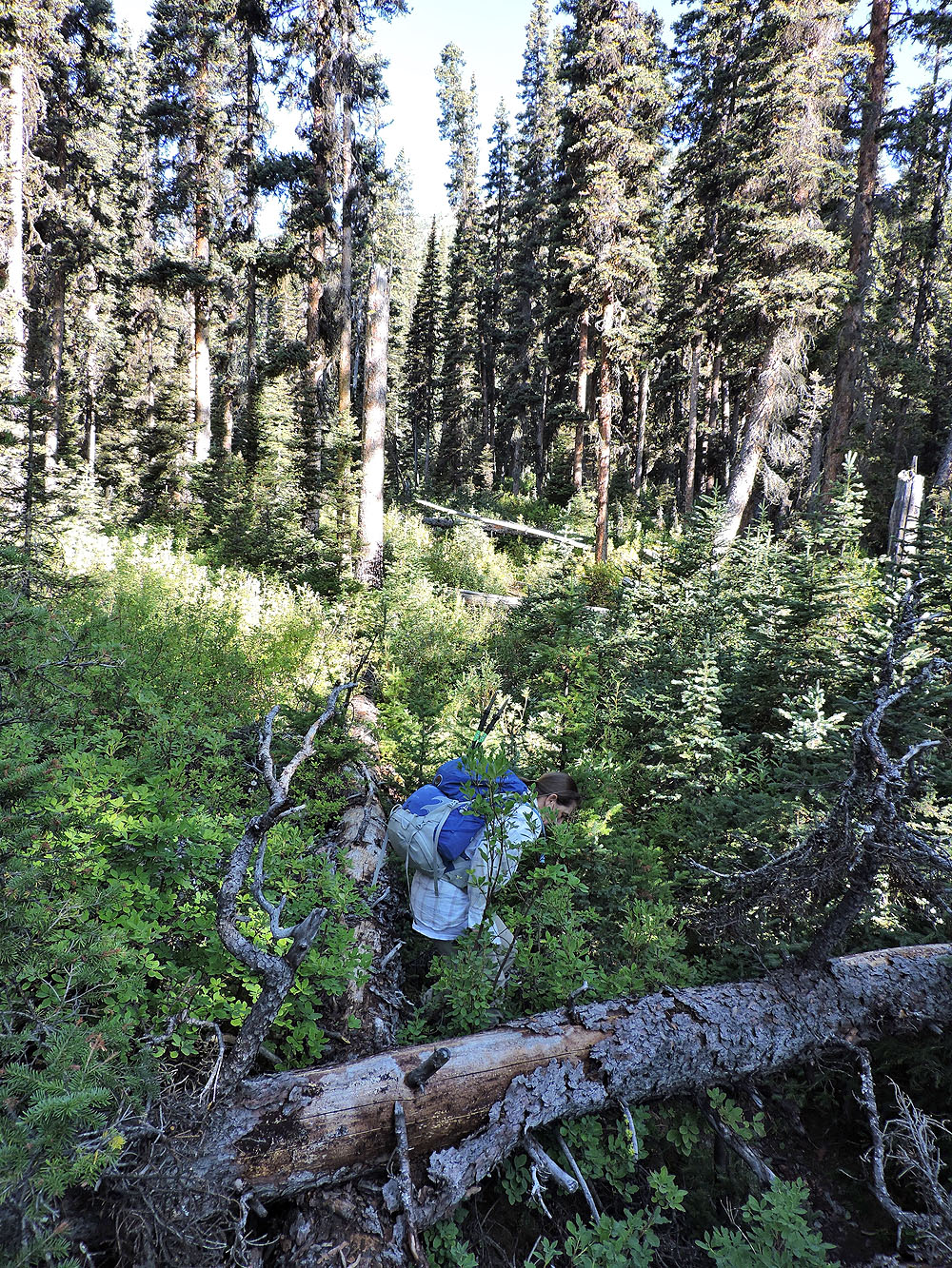
The trail is actually an overgrown road that requires patience
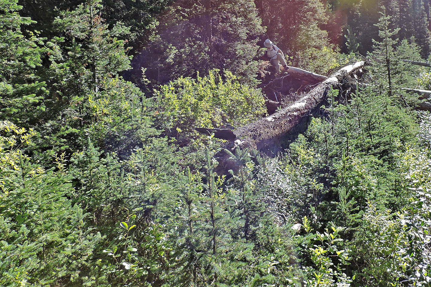
We spent much time going over, under and around deadfall
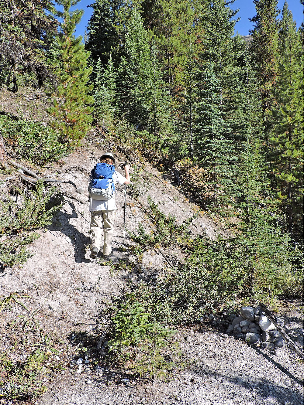
Finally we reached the cairn marking the trail up a steep ridge
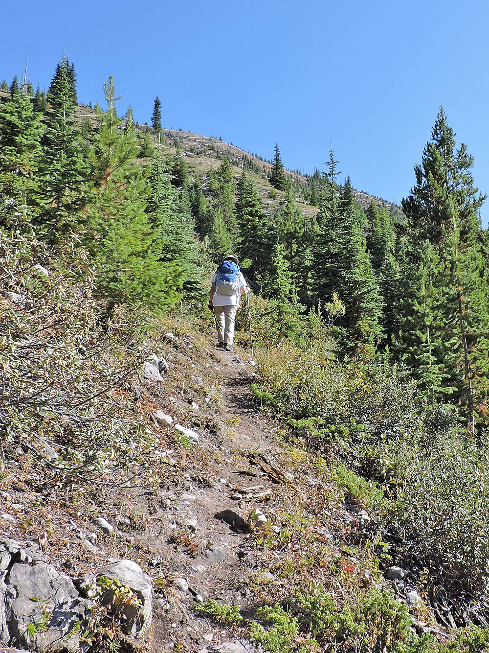
It's a good trail but it doesn't extend to the ridge crest
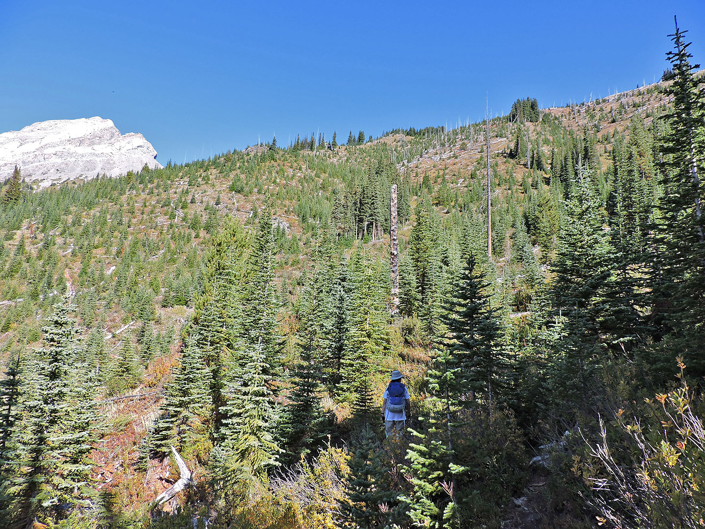
The last 200 vertical metres is offtrail
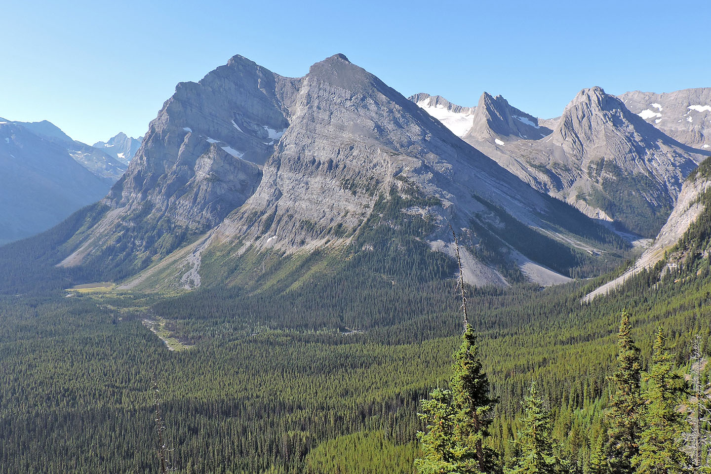 Behind us, partly hidden and under snow, is Mount Lyautey
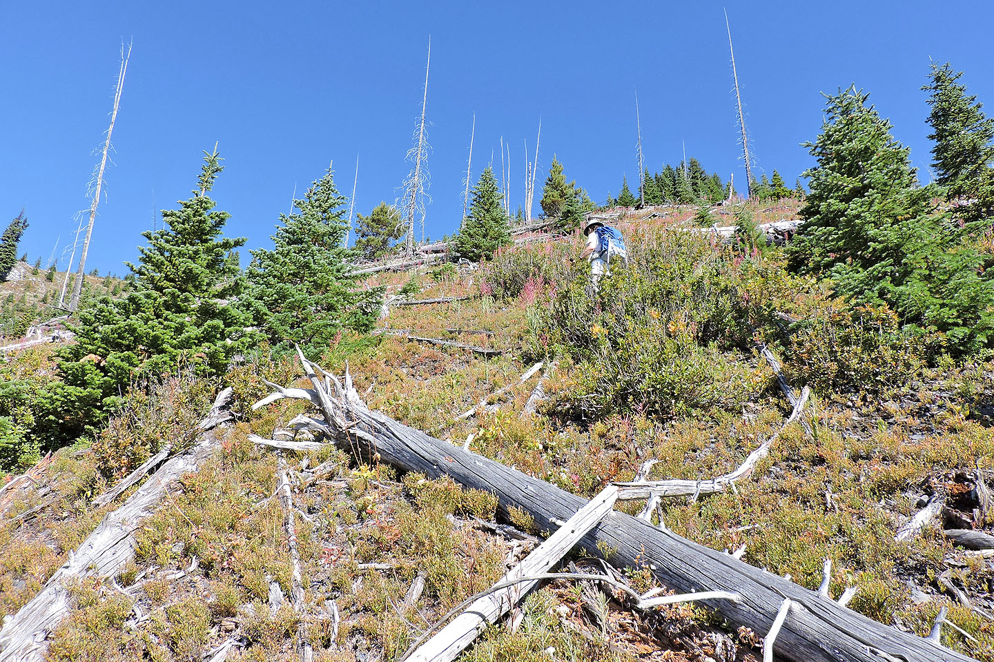
Most of the deadfall can be stepped over
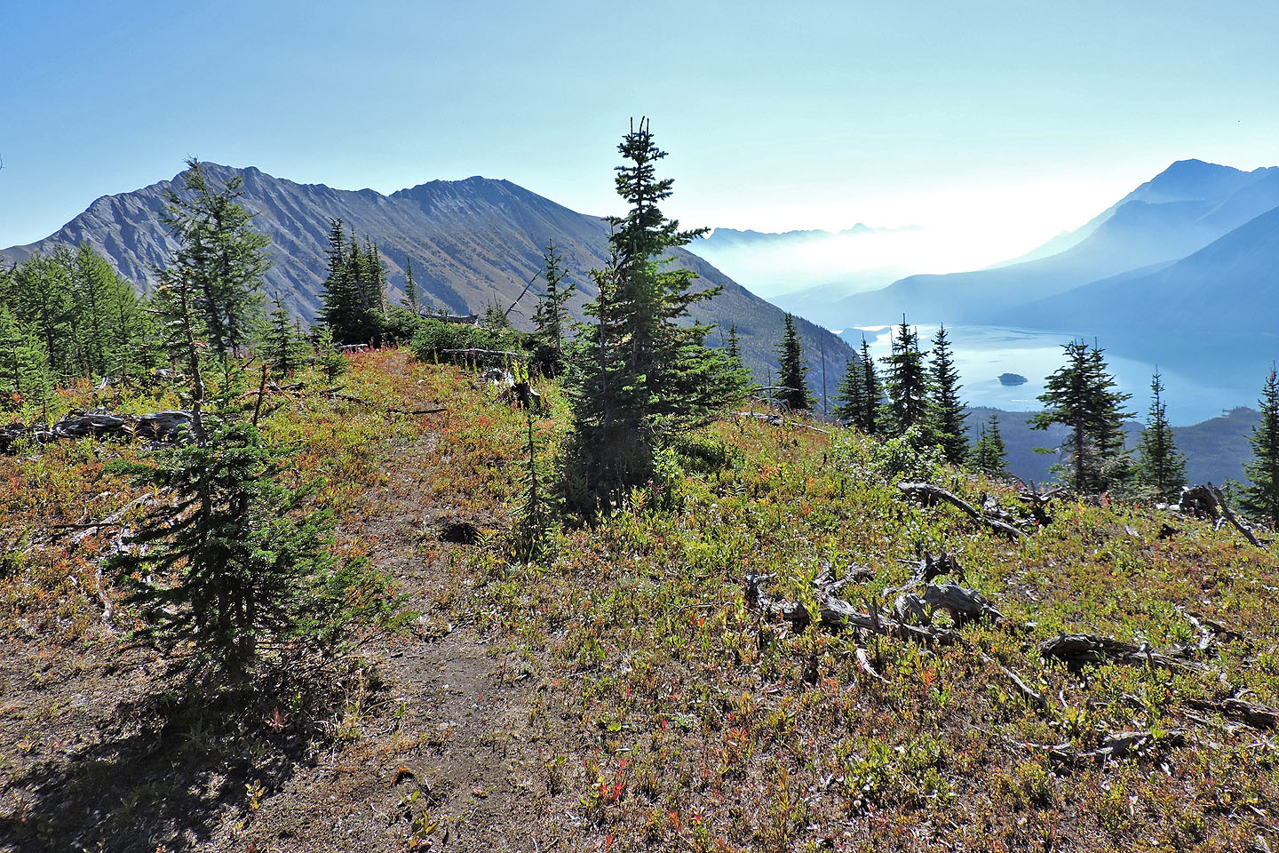
Looking down at Upper Kananaskis Lake after we reached the crest
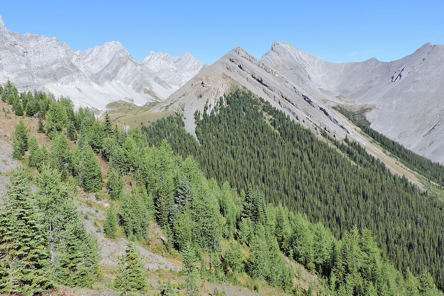
Mount Nomad ahead. The trail begins in the gully on the left.
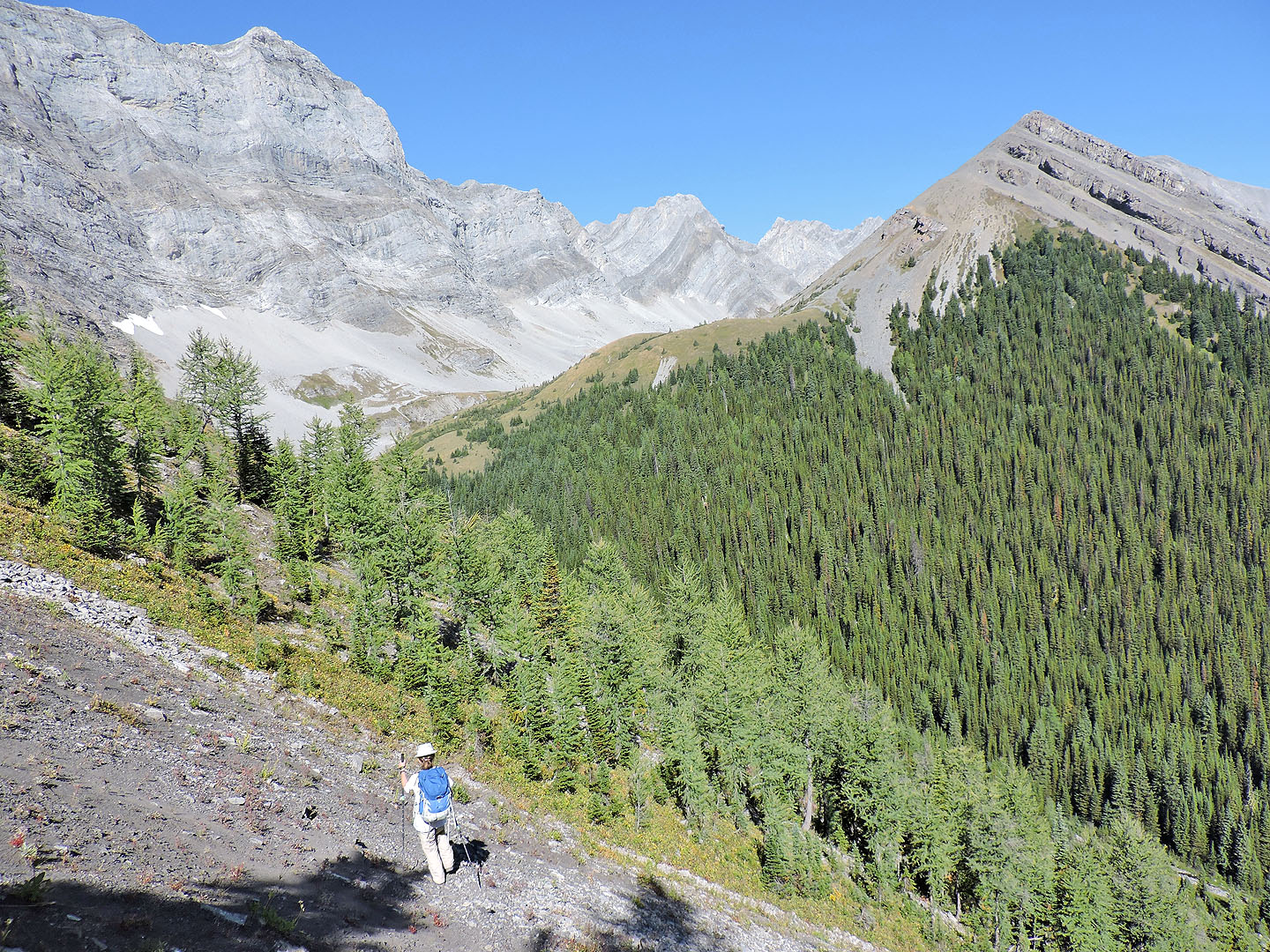
We got a good look at Nomad's ascent slope as we followed the trail down
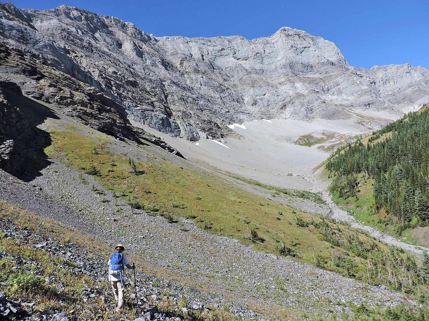
After the trail disappeared, we angled down to the creek bed
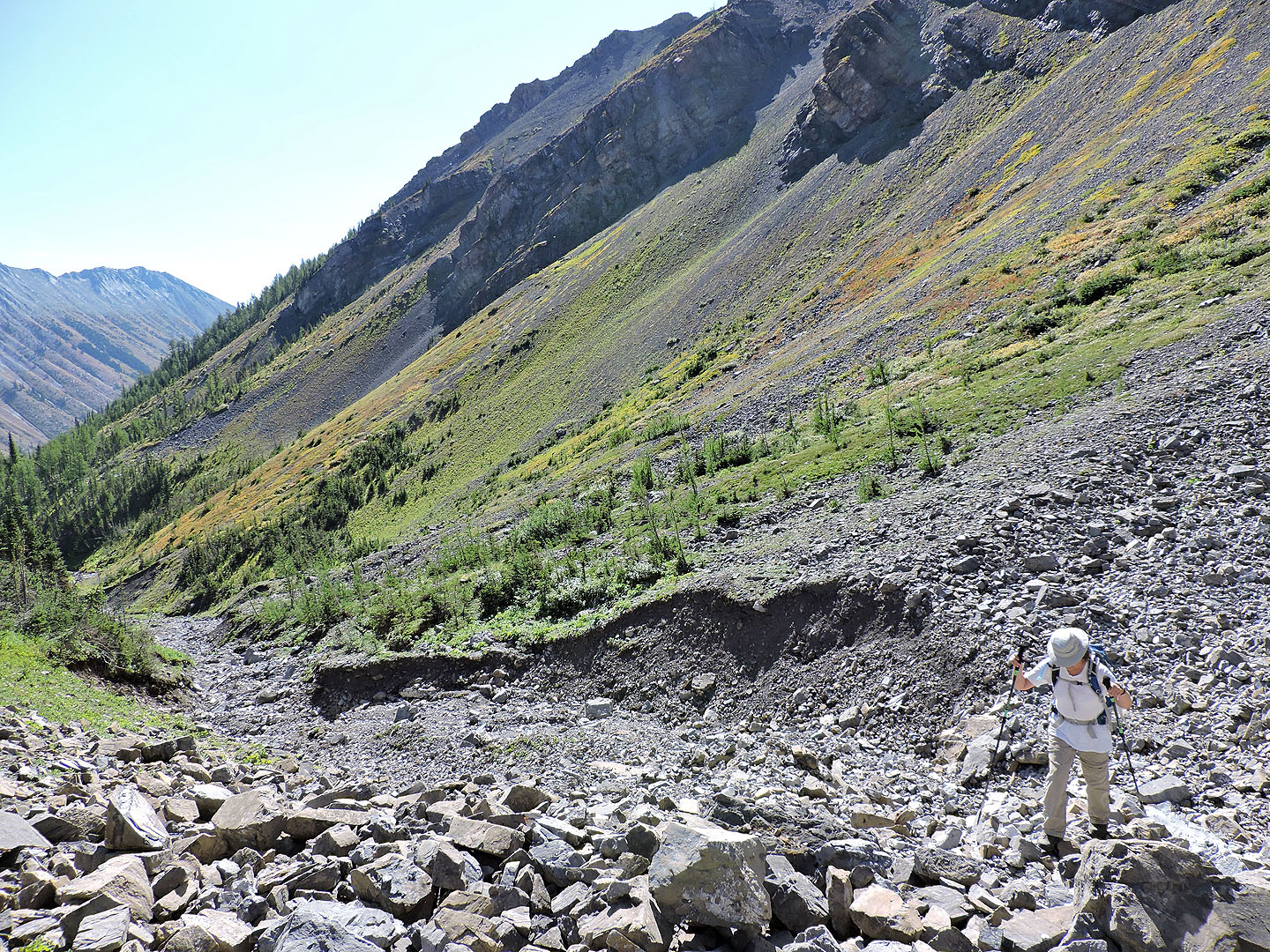
Looking back at the slope we crossed
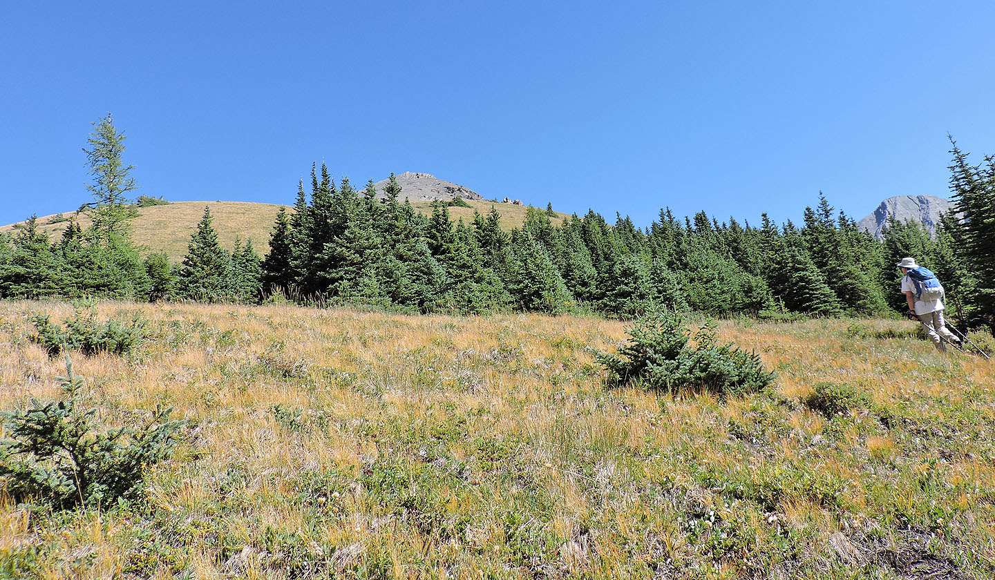 Our ascent began on a grassy slope
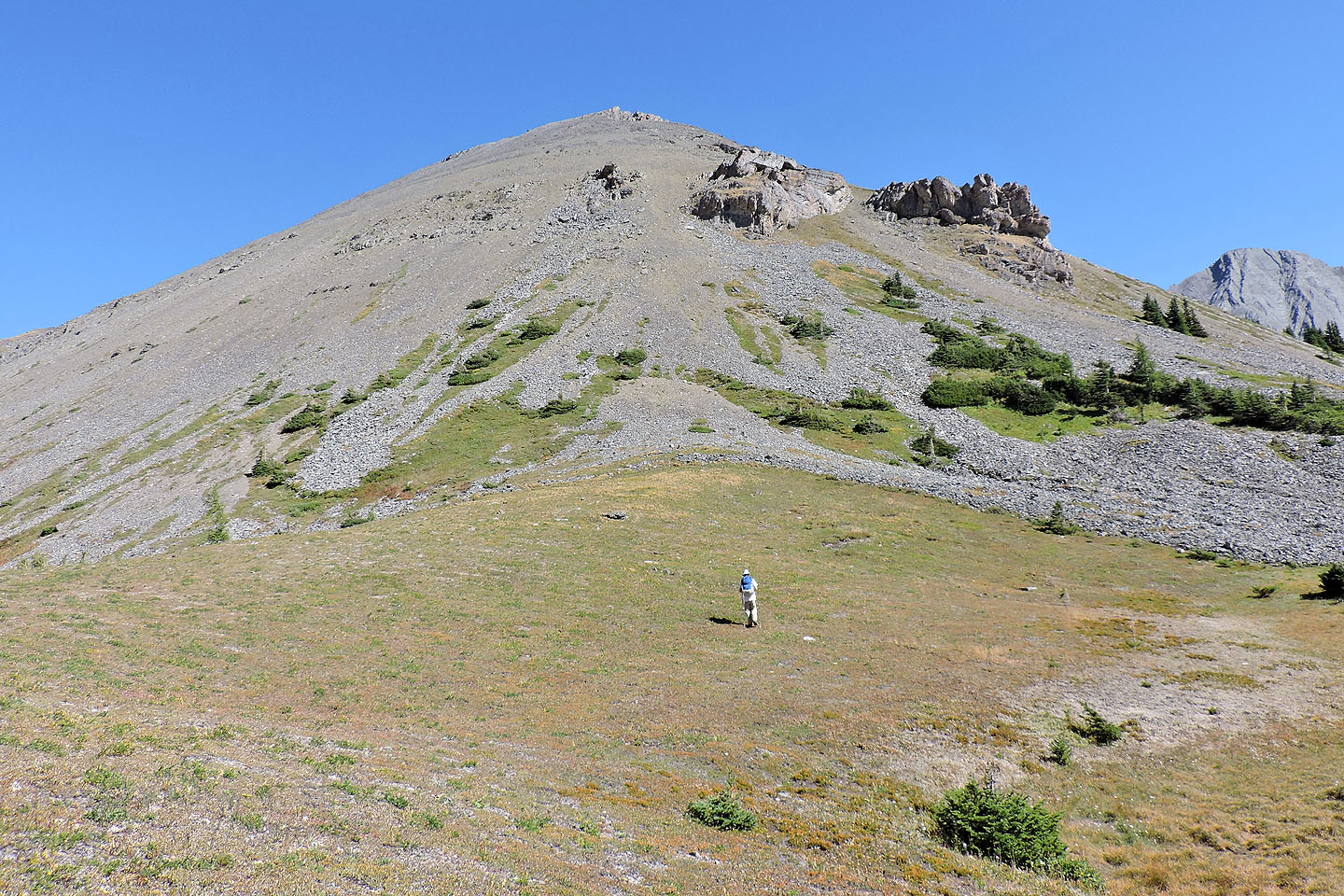
To avoid the loose scree ahead, we headed to the gap between the two outcrops on the right
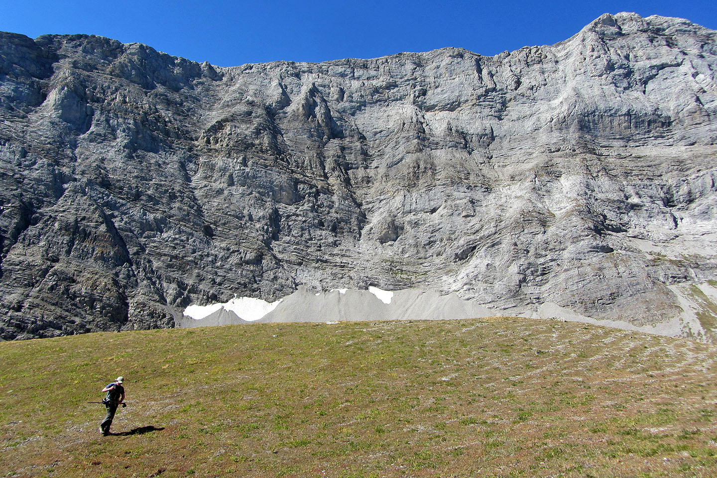
The cliffs on our left made an interesting backdrop
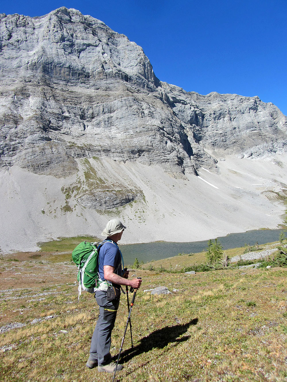
We got our first look at Invincible Lake
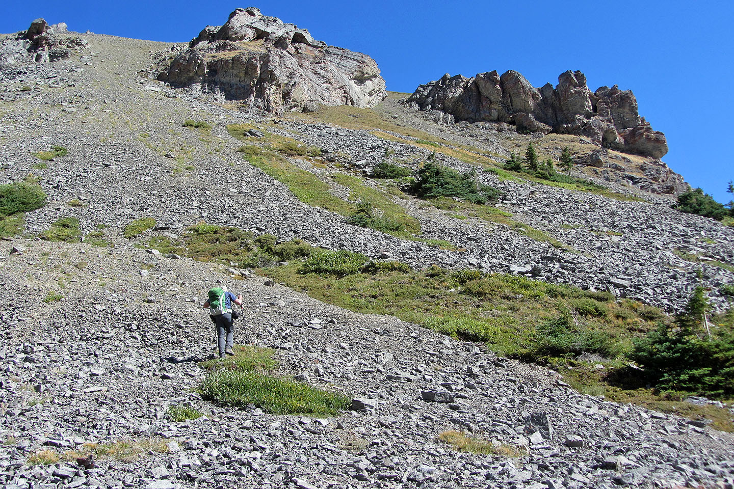
We made our way to the gap, much of it on vegetation
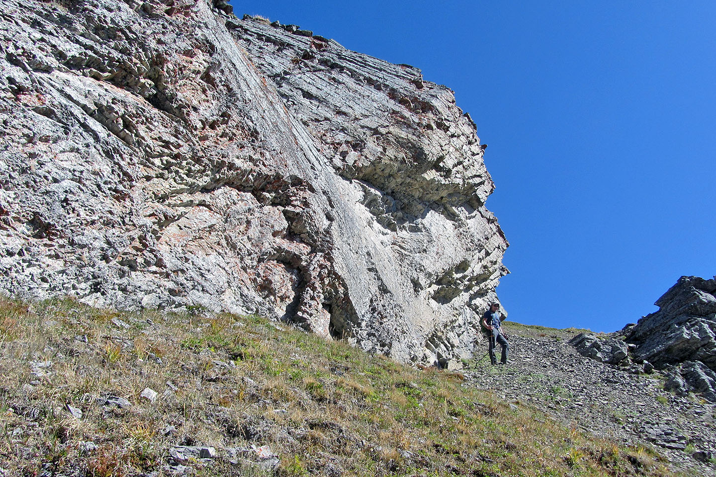
Pausing at the gap
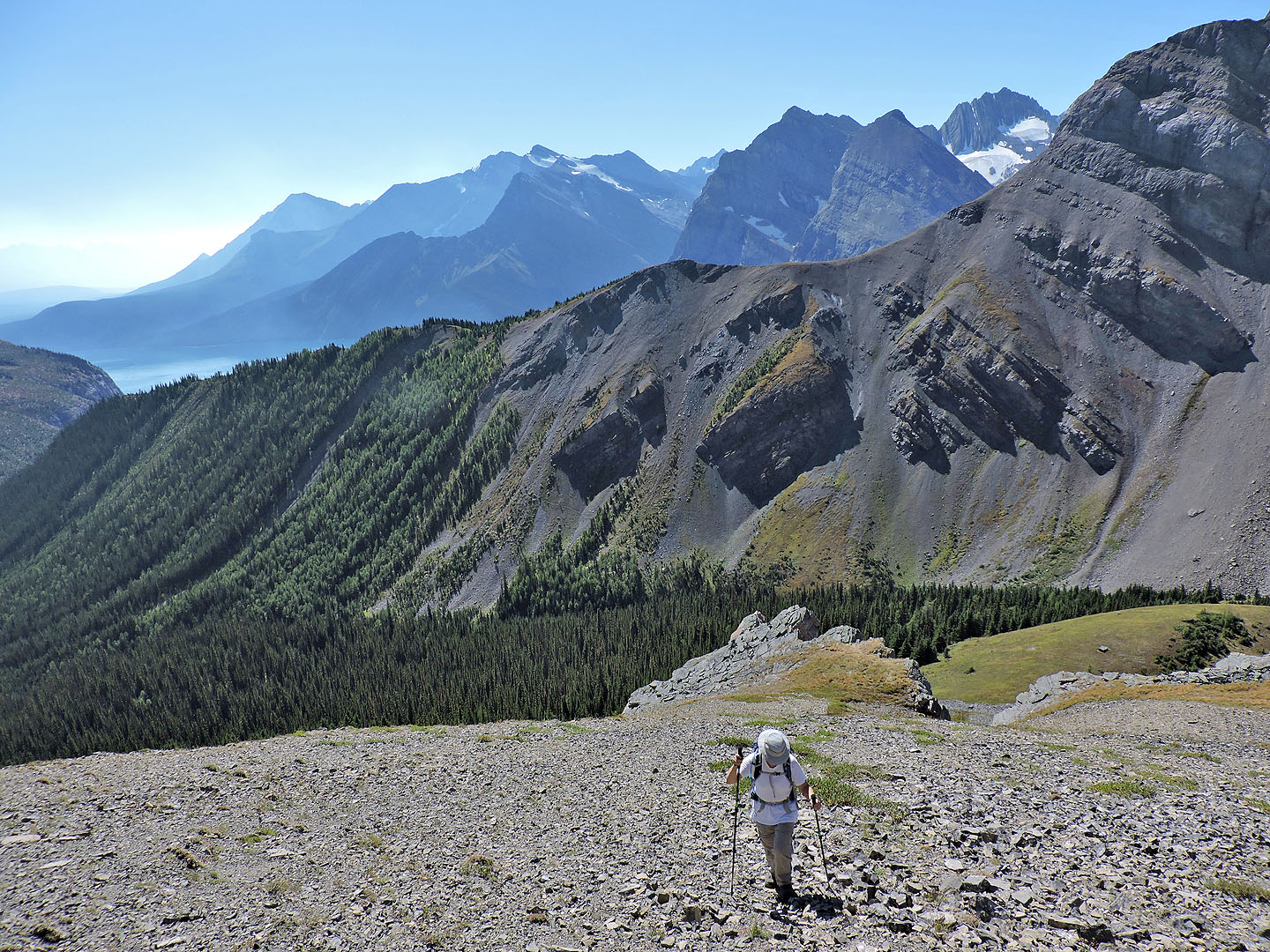
Looking back at the gap and the ridge that we climbed over
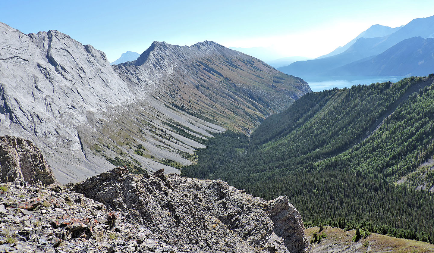
Mount Indefatigable lies west (mouse over for a close-up)
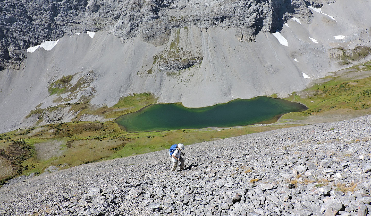
Invincible Lake came into full view
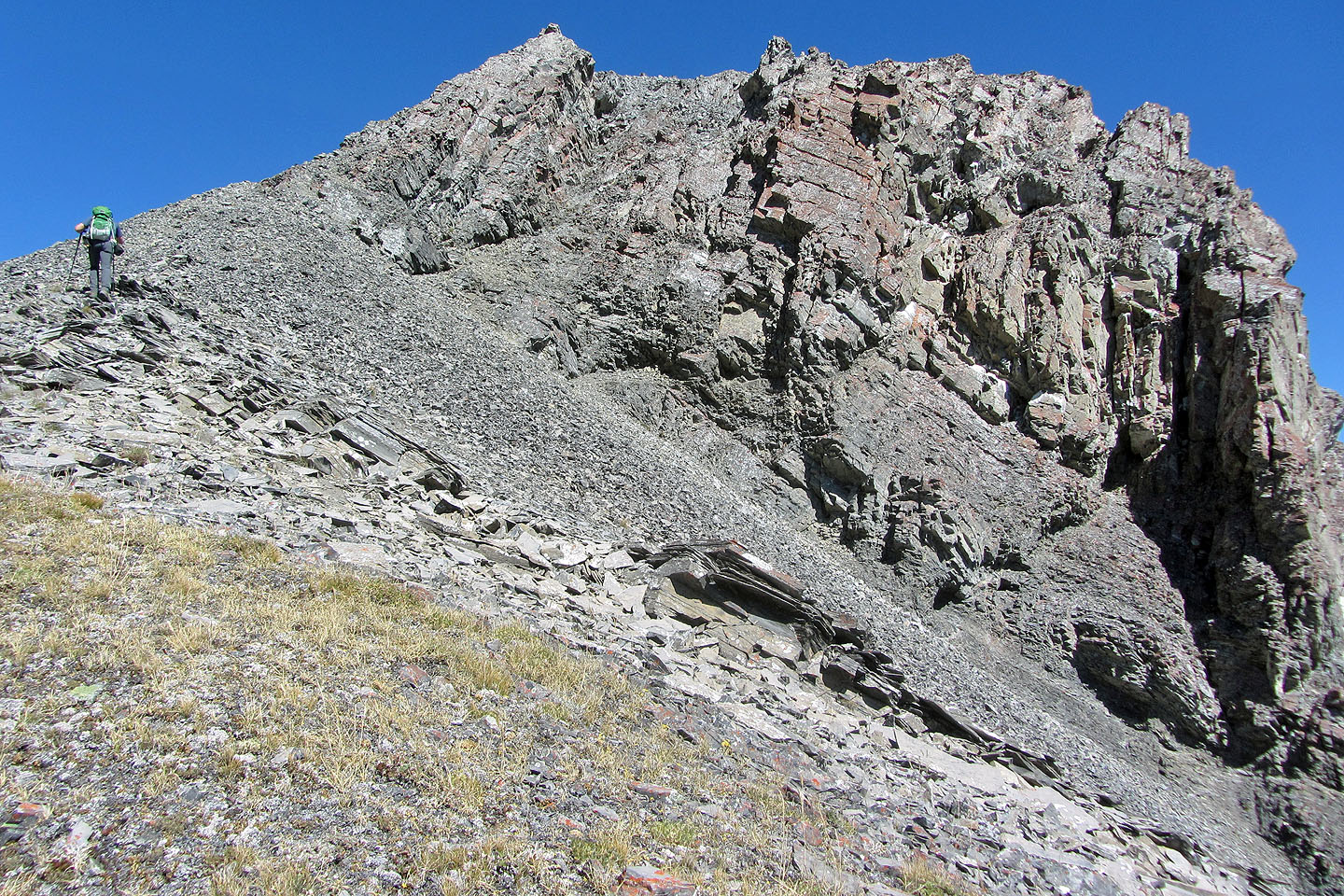
Nearing the summit
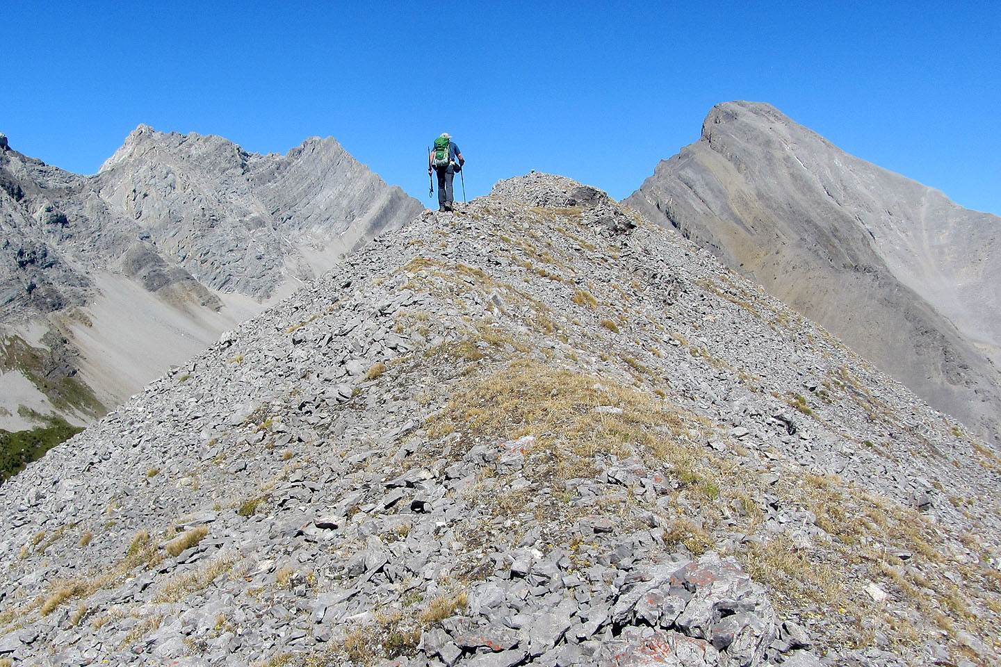
On the summit ridge. Mount Warspite is on the right.
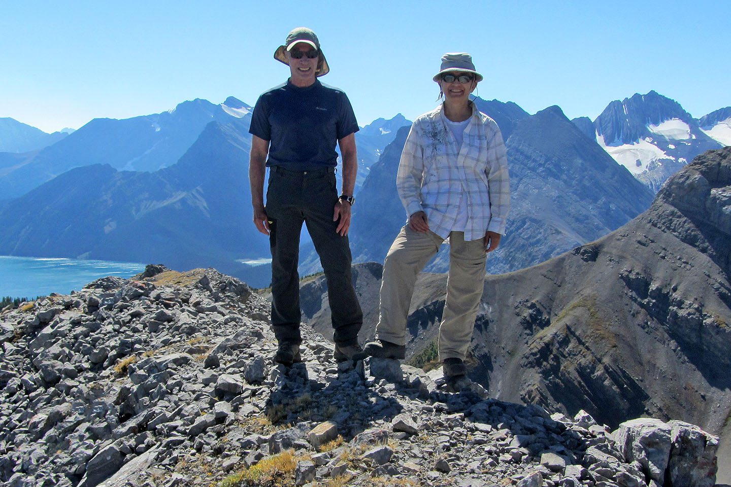
Standing on top of Mount Nomad
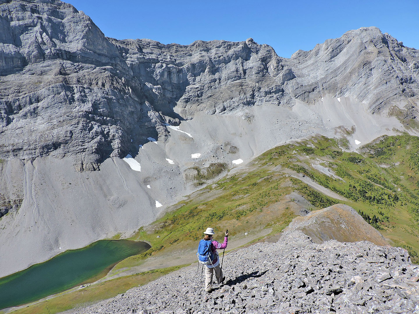
We continued along the ridge
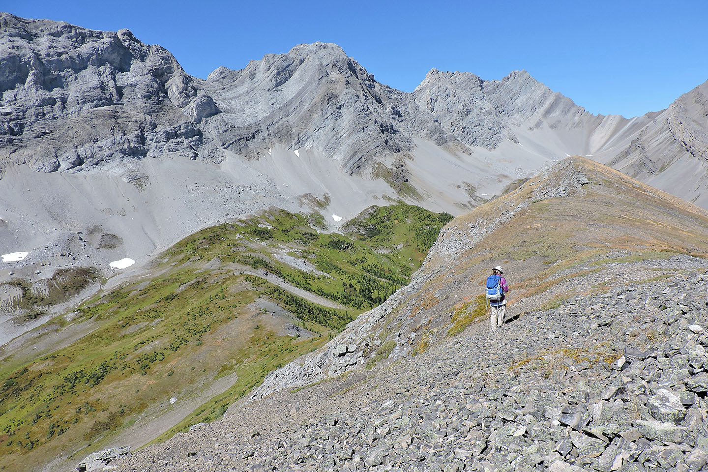
The ridge drops off sharply ahead, so we headed to the second gully on our left. Zora is next to the first gully.
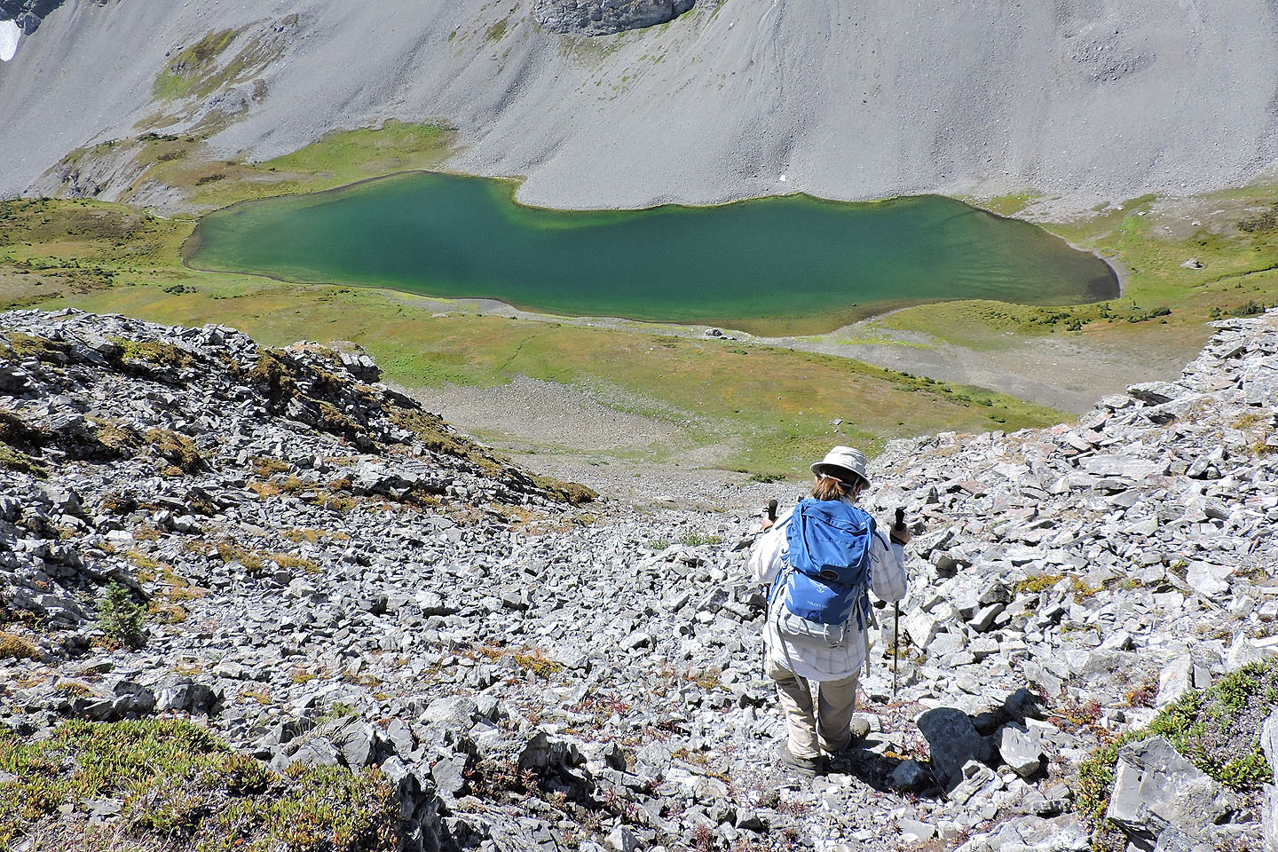
The descent down the gully was easy, but we kept together as it was easy to send loose rock flying down
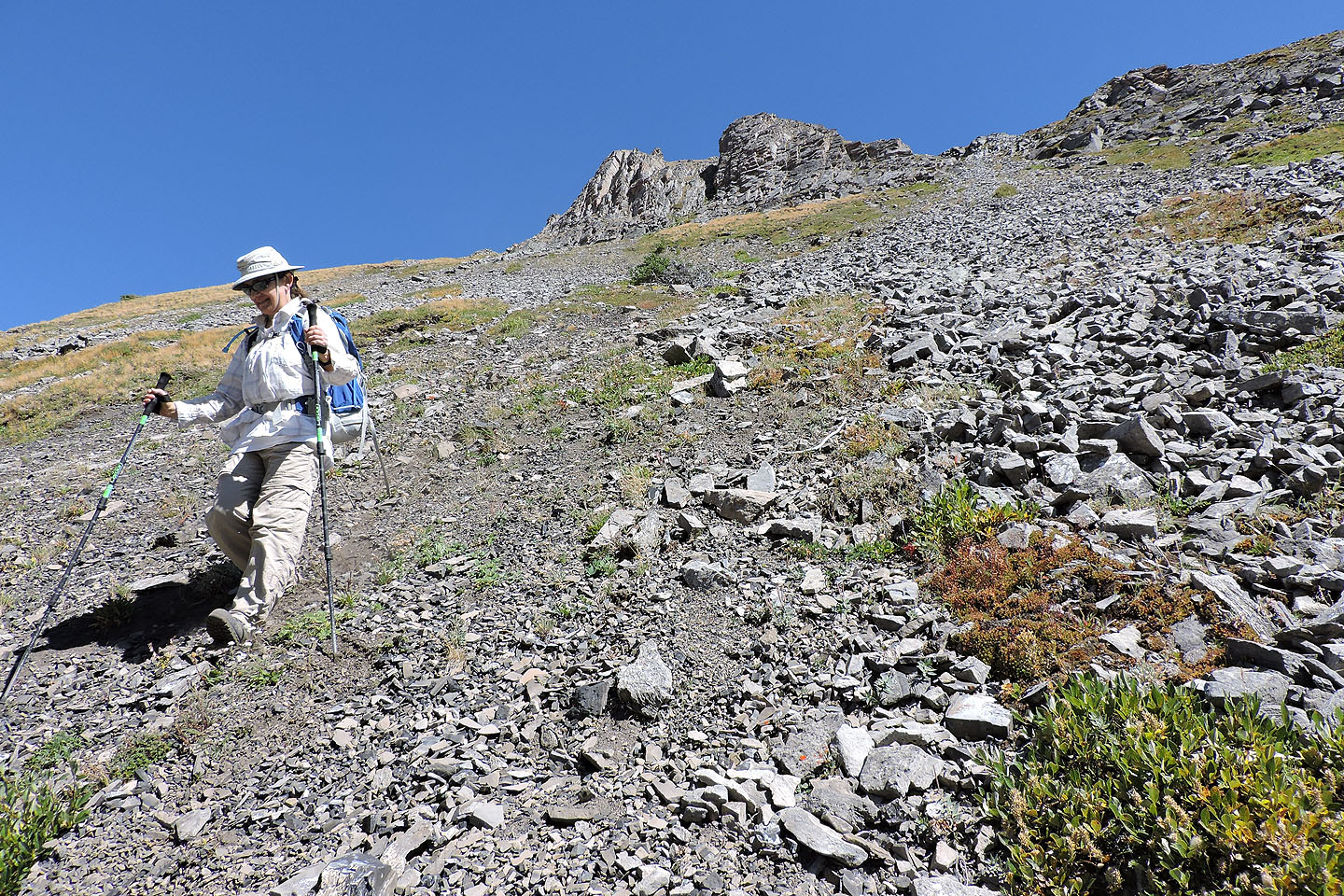
We took advantage of soft scree when we could
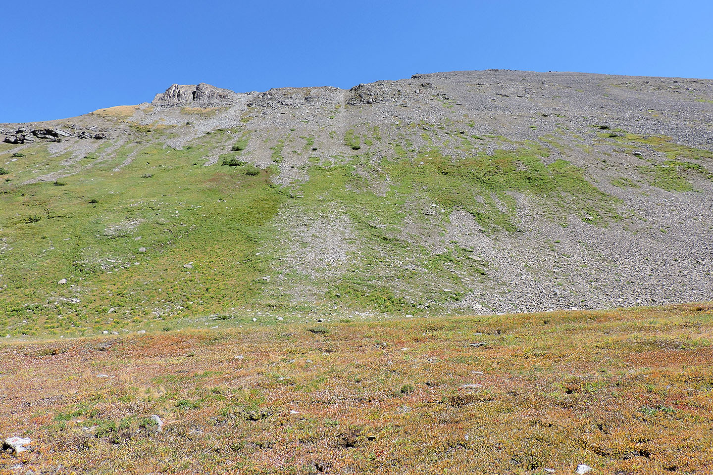 Looking back at the two gullies
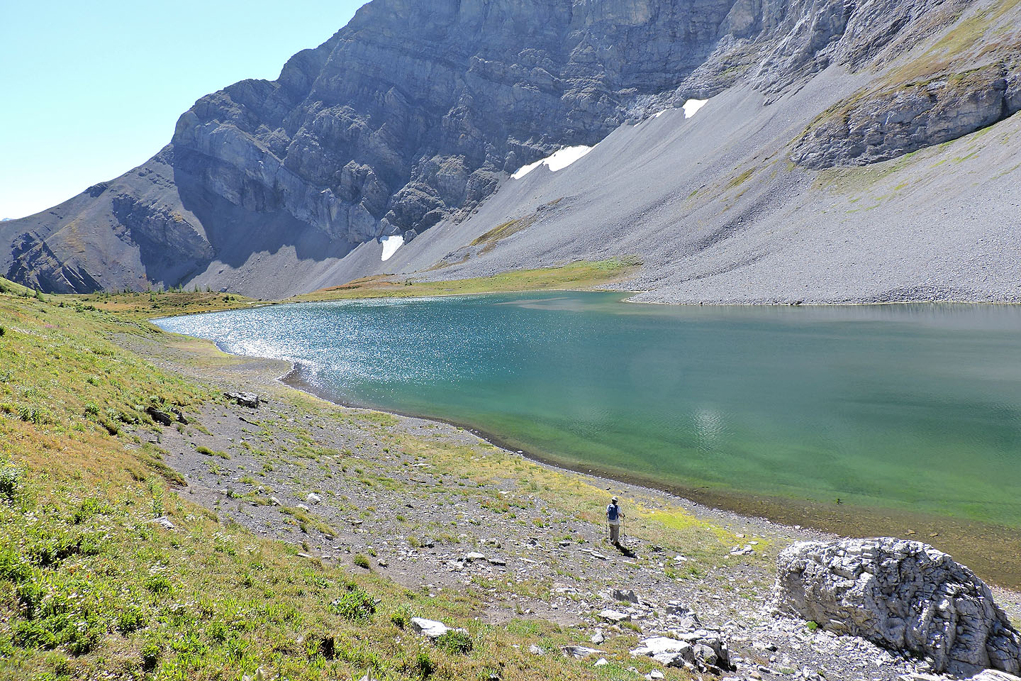
We made our way to the lake
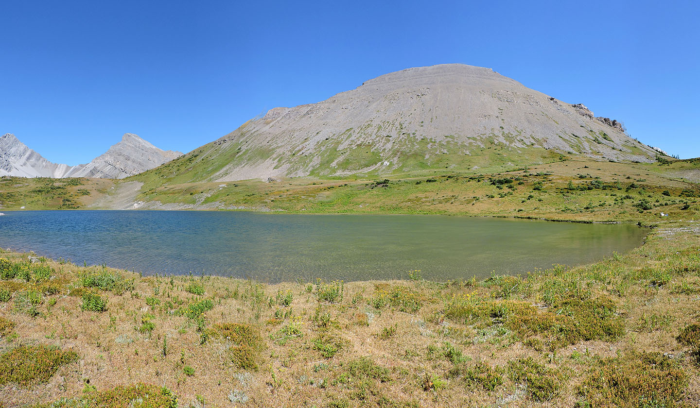
Looking across the lake at Mount Nomad. The white dot on the right is Zora relaxing.
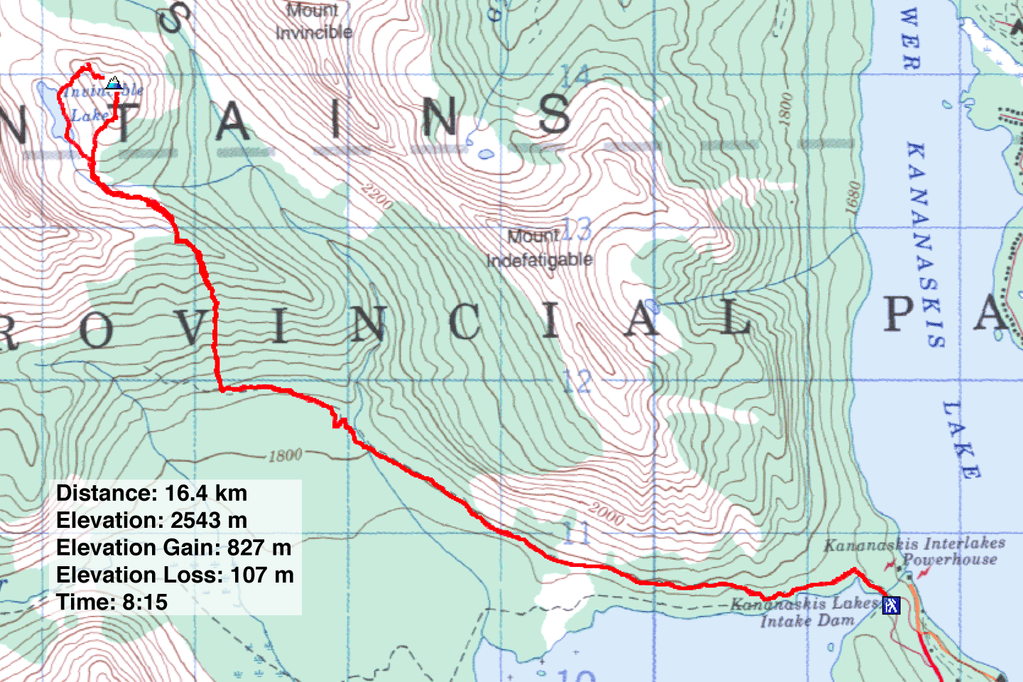
82 J/11 Kananaskis Lakes
