bobspirko.ca | Home | Canada Trips | US Trips | Hiking | Snowshoeing | MAP | About
Mount Barwell
Kananaskis, Alberta
July 23, 2020
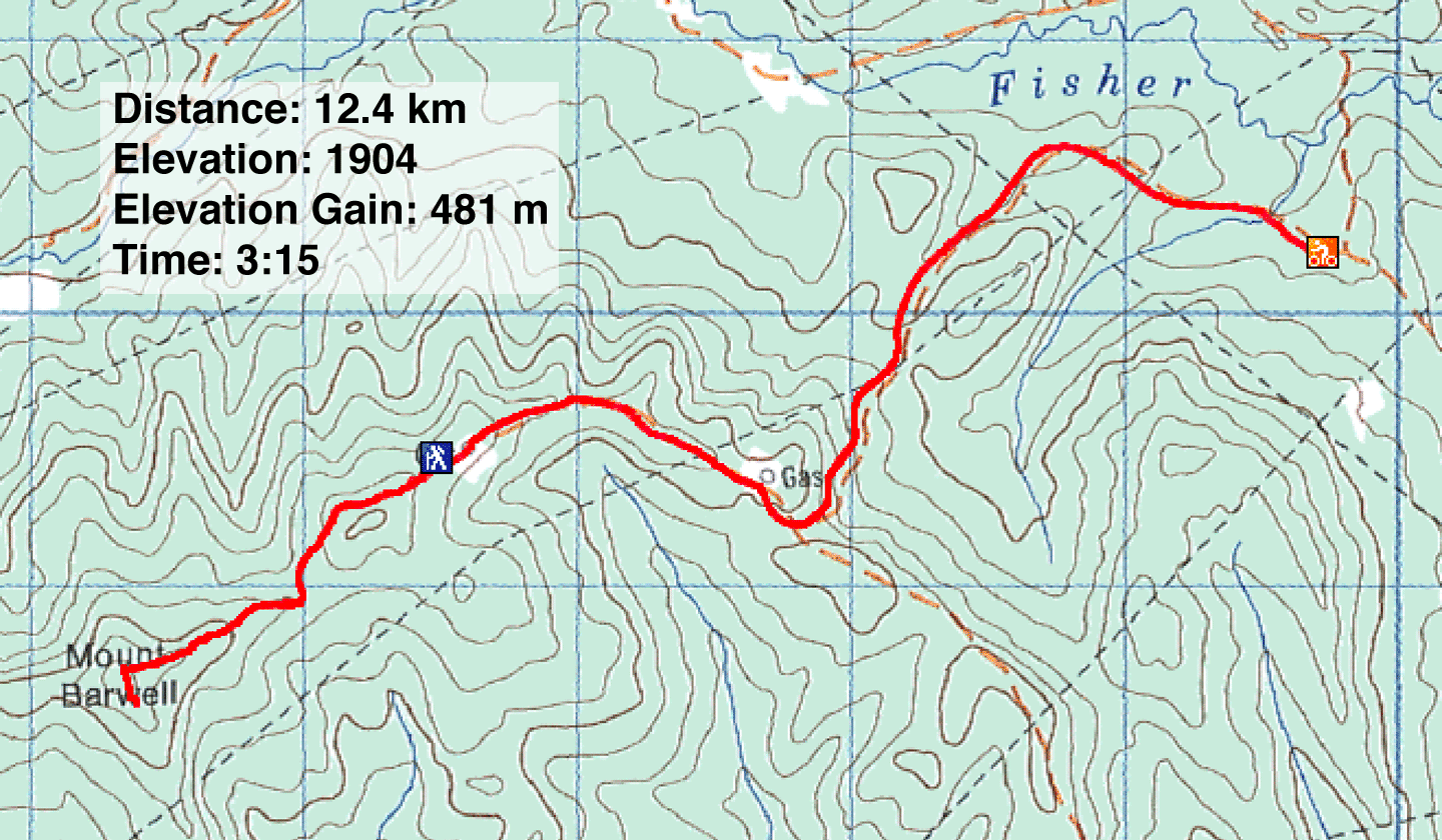
Distance: 12.4 km (7.7 mi)
Cumulative Elevation Gain: 577 m (1893 ft)
There are few trip postings for Mount Barwell, and none make this hill look attractive. Trails run to a road that services sour gas wells. At the end of the road, a 1.5 km ATV trail leads to the summit. Other than glimpses of featureless, low hills in the distance, the route lacks views. Even on the summit, trees block the scenery. Fortunately, there's a viewpoint 100 m away. No one seems aware of it, but I noticed it when I looked at Google Earth.
But getting back to the route. I think Sonny Bou had the best idea when he did Mount Barwell. Starting from a locked gate, he biked up the well road and hiked to the summit. Since the ascent is viewless, why not get it over quickly? Faster yet, was blasting back down the road!
But when I tried Sonny's route a couple of weeks earlier, I hit a snag. To make a long story short, No Trespassing signs at the gate dissuaded me. Instead, I tried pushing my bike up a nearby ATV trail, but it was hopeless; the was trail rutted and too steep for biking. But before turning back, I ran into a dirt biker who said servicemen wouldn't bother me if I started from the gate. I had reservations about using secondhand information, but I decided to come back and try.
Two weeks later, I was back at the gate. As I got ready, I was still questioning the wisdom of turning a blind eye to the no trespassing warnings, when a truck stopped in front of the gate. After a man in coveralls got out and greeted me, I asked if I could bike up the road. He said that was fine. The concern, he added, was the vandalism occurring in the area. Recently, for instance, someone had tried to break the lock on the gate. He noticed it when he came to check on a well, something he does almost daily. Then he left. He opened the gate, drove through and locked it before driving away. I followed on my bike, albeit much slower.
My climb up the road was a mix of cycling easy sections and pushing my bike up steep hills. 45 minutes after starting, when I was cycling uphill, I saw the truck coming back. He stopped to say this was the easy part! Not very encouraging. Soon I was pushing my bike up the long, steep hill before the lower gas well.
After the lower well, the trip became easier. I cycled almost to the upper well at the end of the road, stashed my bike, and started hiking up the trail. Dirt bikes have torn up the trail in places and made deep troughs in others, but the trail is mercifully short. I soon arrived on a bald patch ringed by trees: the summit. With nothing to see, I walked to the viewpoint 100 m south.
After a mostly claustrophobic climb in trees, I welcomed the spacious clifftop that provided far-ranging views of the mountains west. I took several photos, and then I hiked back to the upper well. After literally sweating while cycling and walking up the road – there was a heat warning that day – I looked forward to a cool ride back. I hopped on my bike and let gravity take over. 15 minutes later, I was back at the gate. What a rush!
A serviceman said it was OK to bike up the road
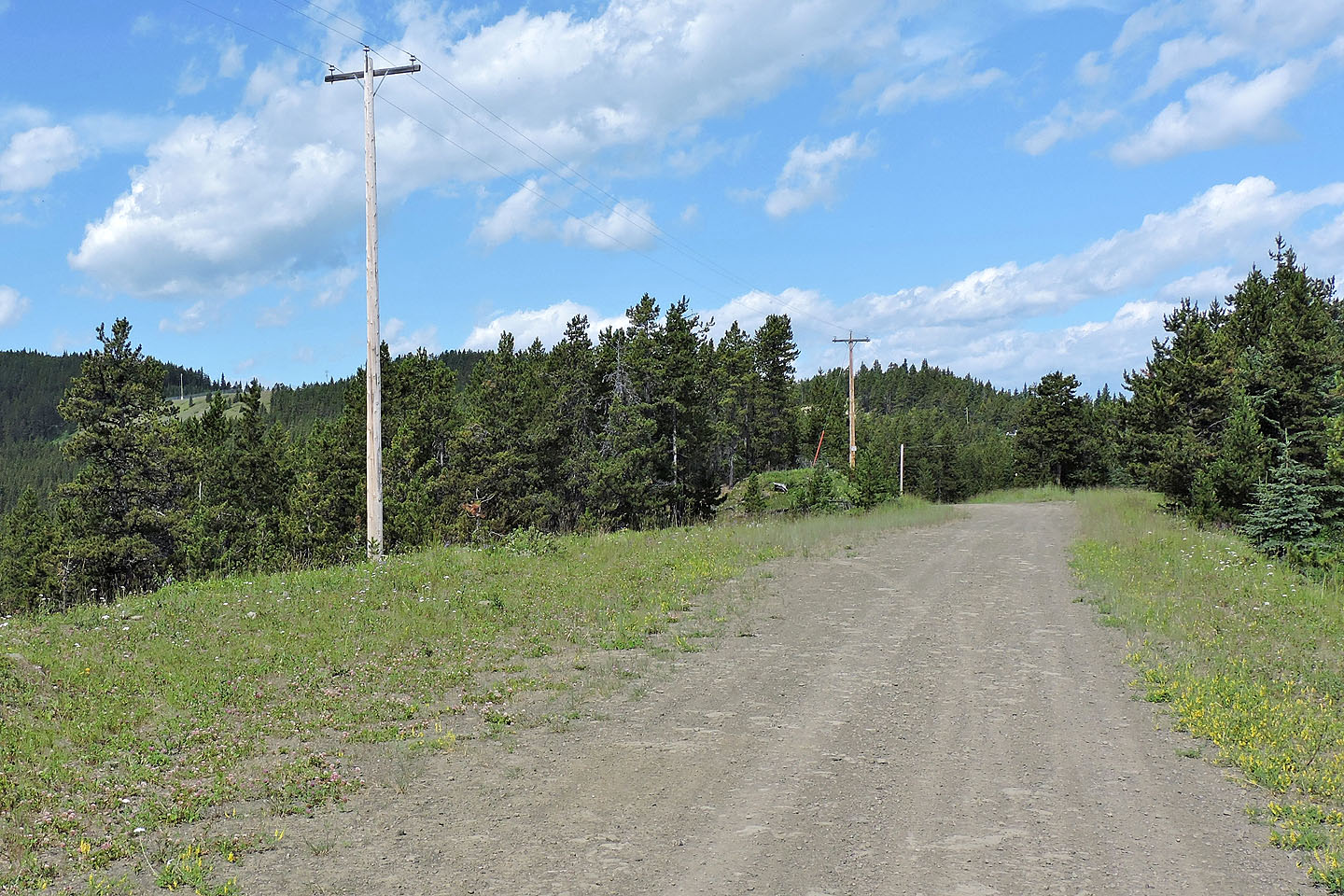
Starting up the road
Pushing my bike up a long hill
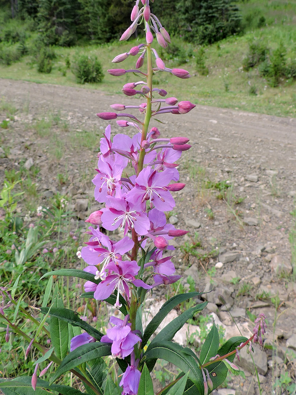
As an excuse to rest, I snapped a picture of a fireweed
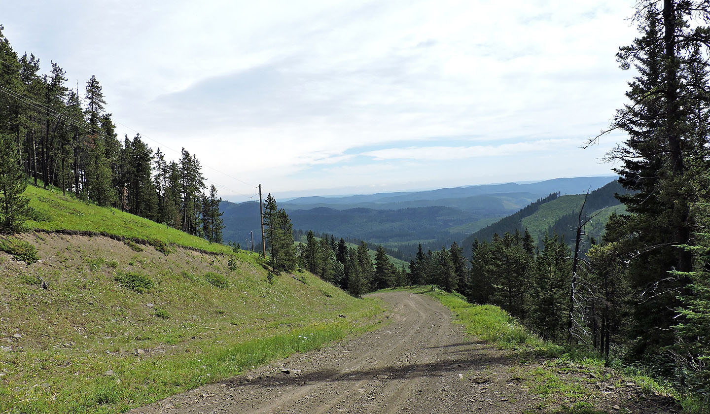 Looking back at the steep road before the lower well
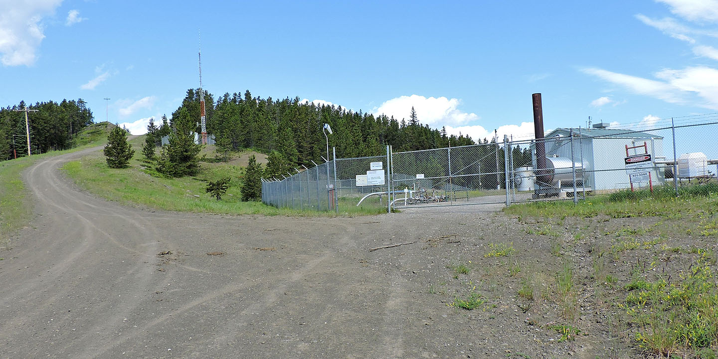
Mount Barwell has two wells but no bar. What's with that? This is the lower well
Soon after leaving the lower well, I saw the clearing where the upper well sits
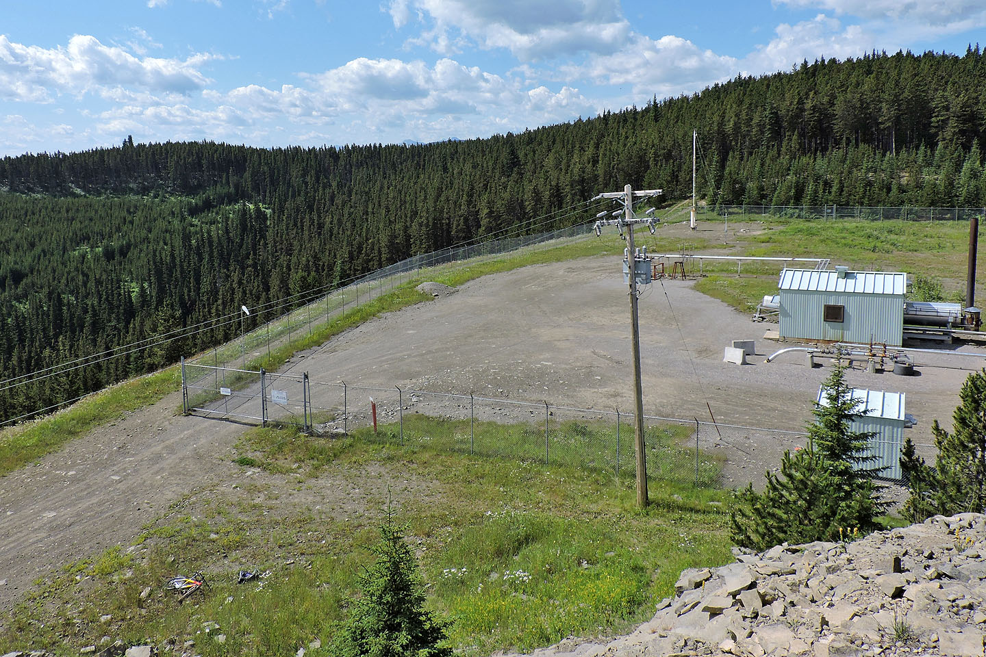
At the upper upper well, I climbed a rocky knoll and took this photo. The bump on the left is the summit. At the far end of the fence, you can make out the start of the trail.
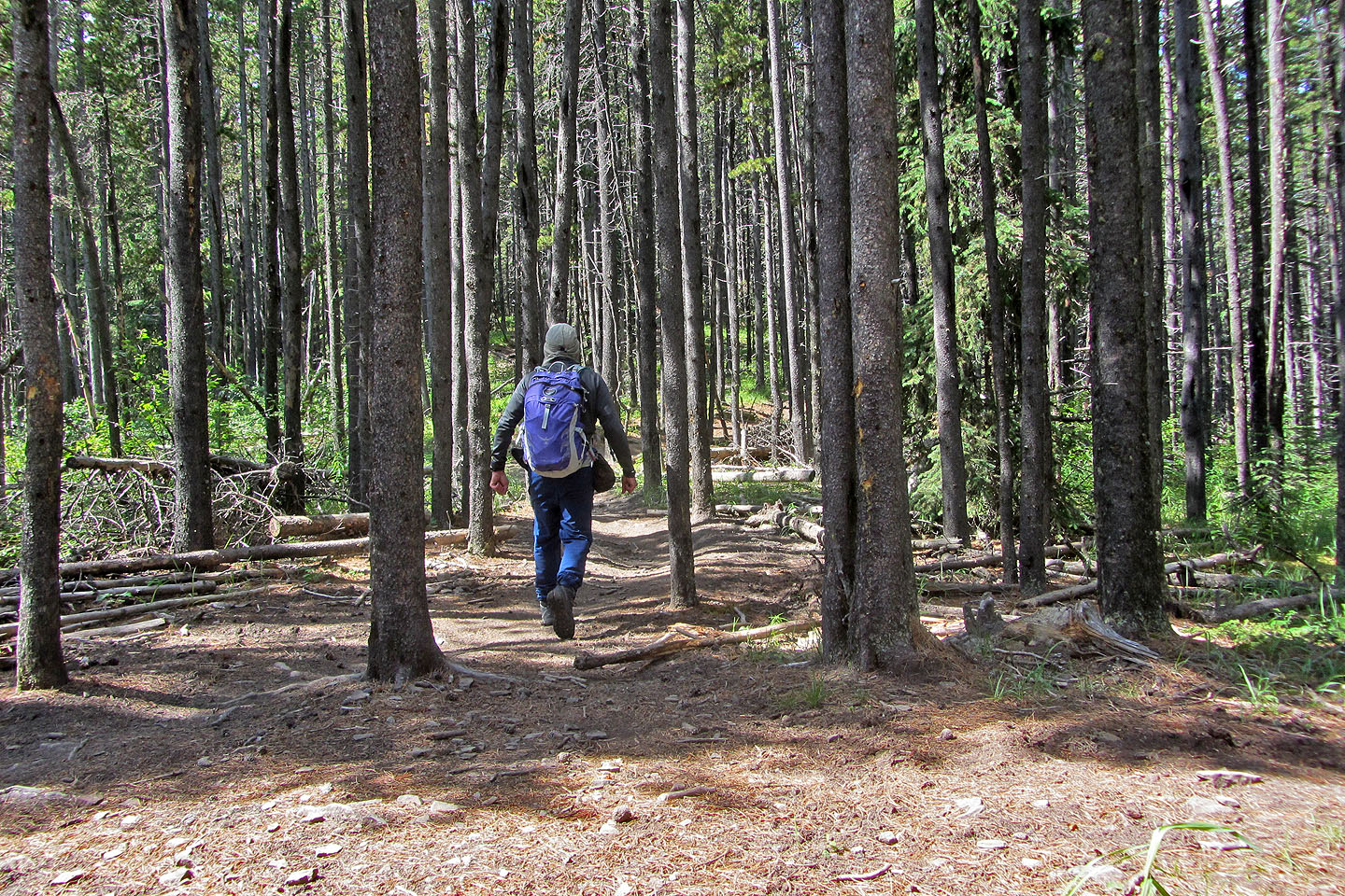
After ditching my bike, I started up the trail

Mountain bikes are allowed, but I wasn't tempted
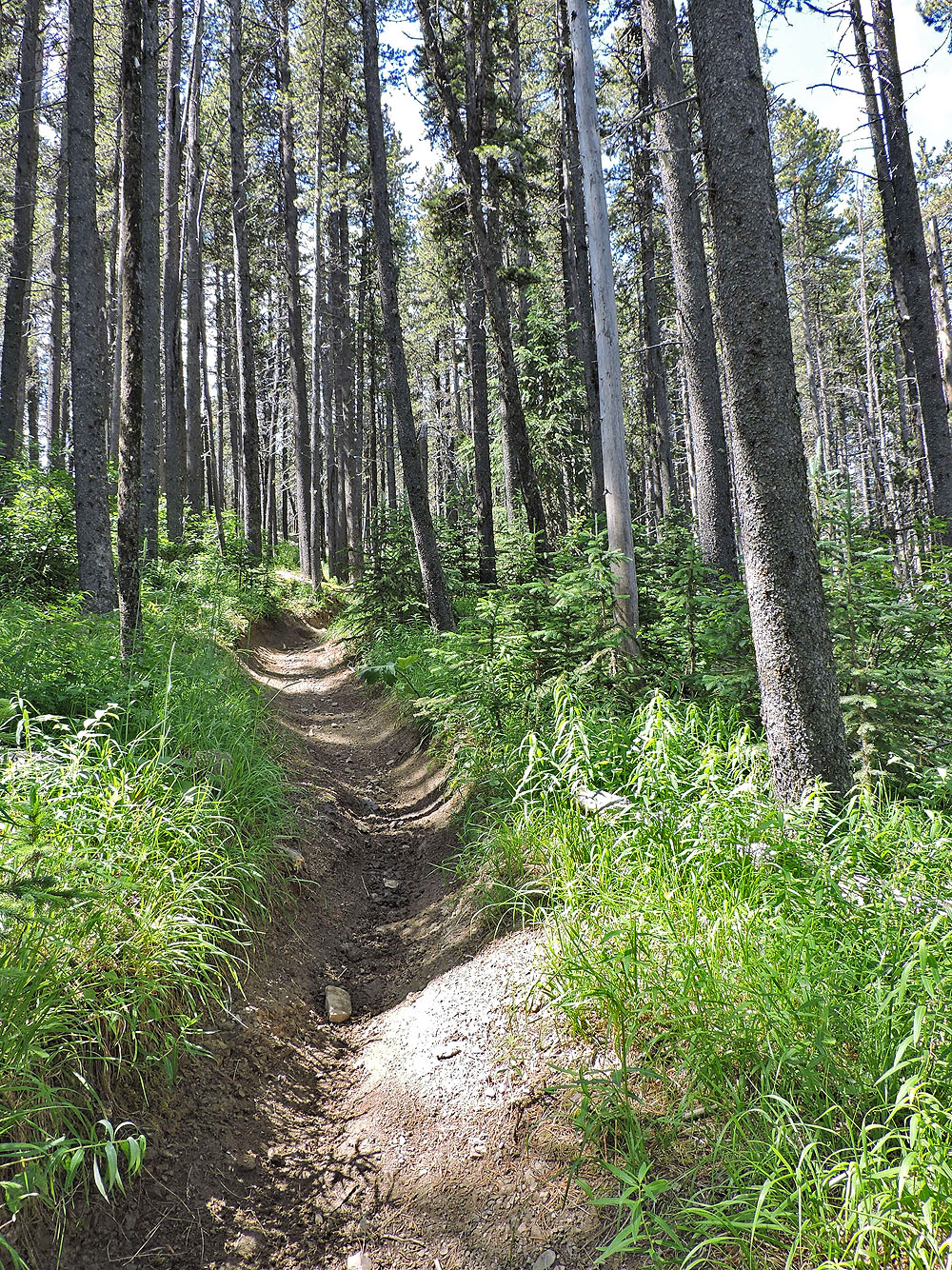
Parts of the trail were a deep trough
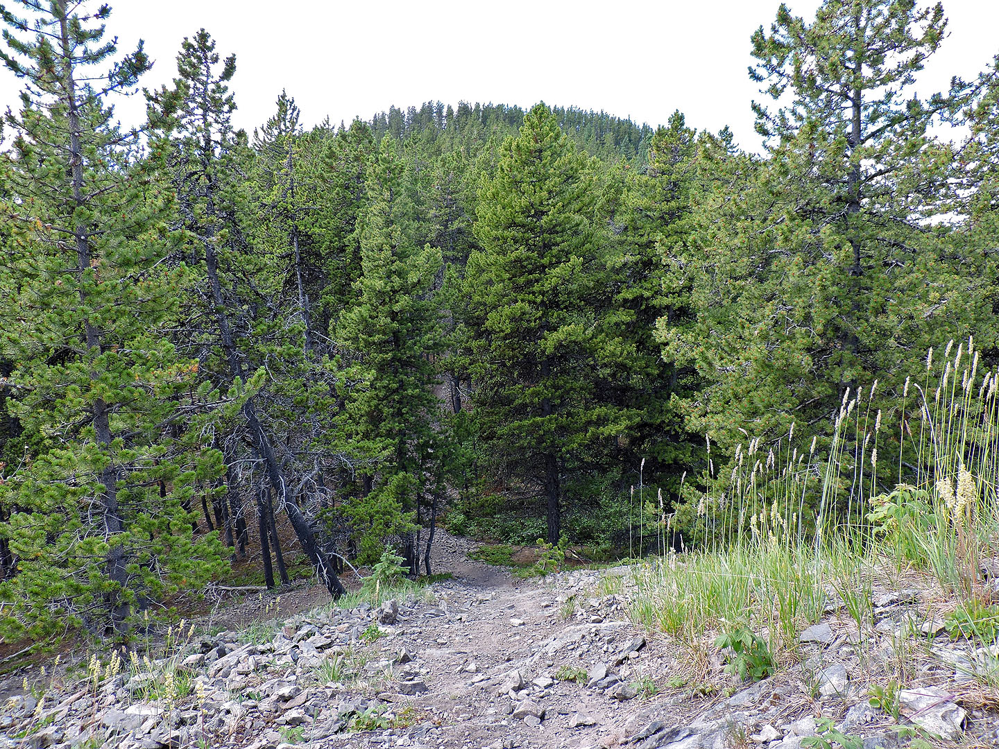
A clearing provides a view of the unexciting summit
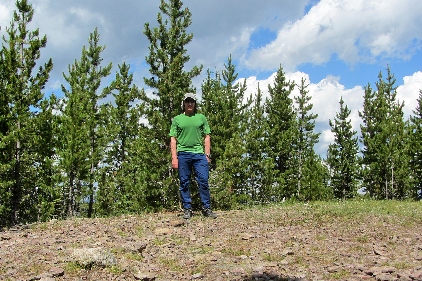
There were no views from the summit
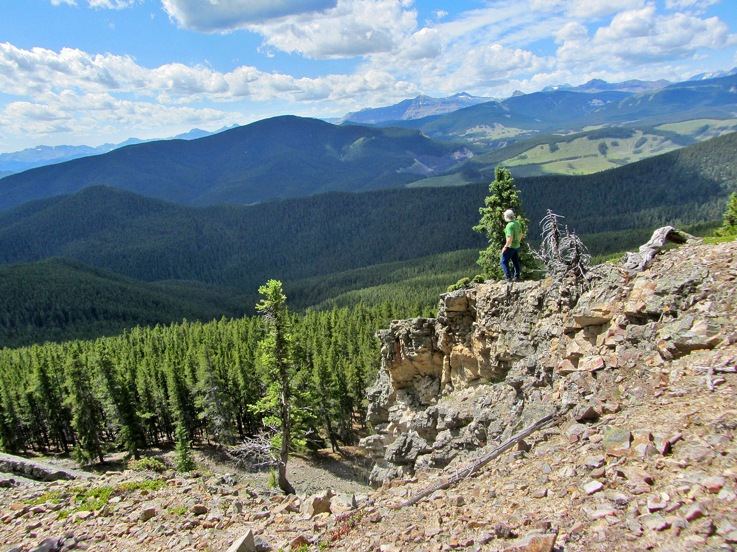
After walking 100 m south of the summit, I came to the viewpoint
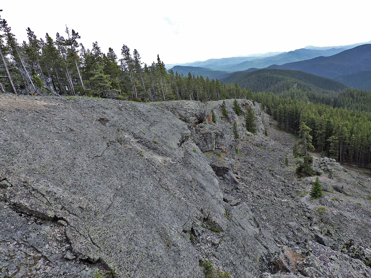
Looking along the cliff. Moonrocks trail is below.
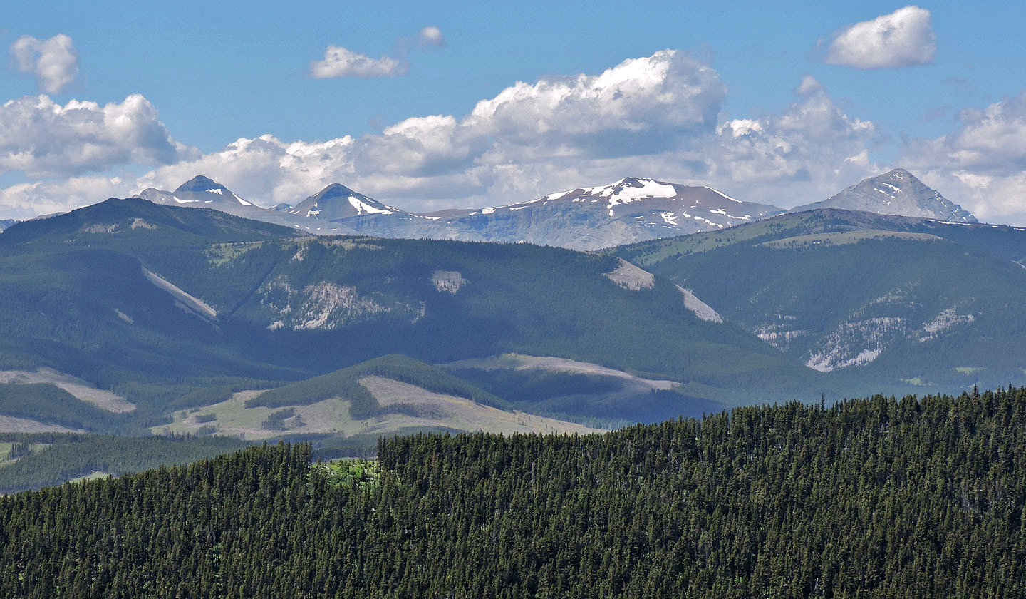
Banded Peak, Outlaw Peak, Mount Cornwall and Mount Glasgow
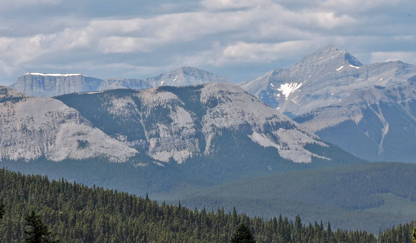 Mount Romulus left and Fisher Peak right. Forgetmenot Ridge in front.
82 J/15 Bragg Creek