bobspirko.ca | Home | Canada Trips | US Trips | Hiking | Snowshoeing | MAP | About
Elbow Lookout
Kananaskis, Alberta
February 18, 2023
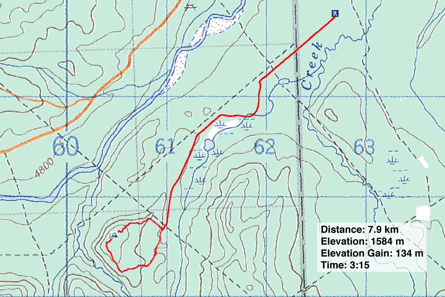
Distance: 7.9 km (4.9 mi)
Cumulative Elevation Gain: 167 m (548 ft)
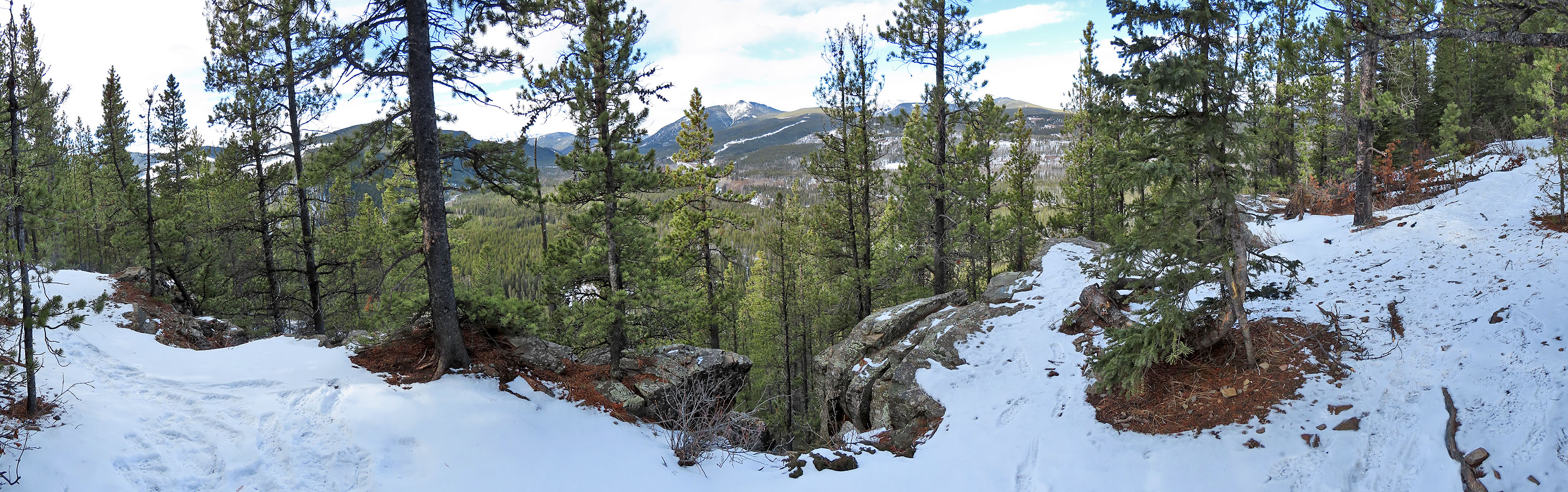
Elbow Lookout has its shortcomings as a viewpoint – a few trees interfere – but it's a worthwhile hike when winter choices are few. Gillian Daffern suggested the trip to Dinah and me: from McLean Creek Staging Area, hike Shell Road to a dirt-bike trail. The loop trail leads to a small clifftop with distant views of peaks including Prairie Mountain. The path continues over a treed hilltop before returning to the road.
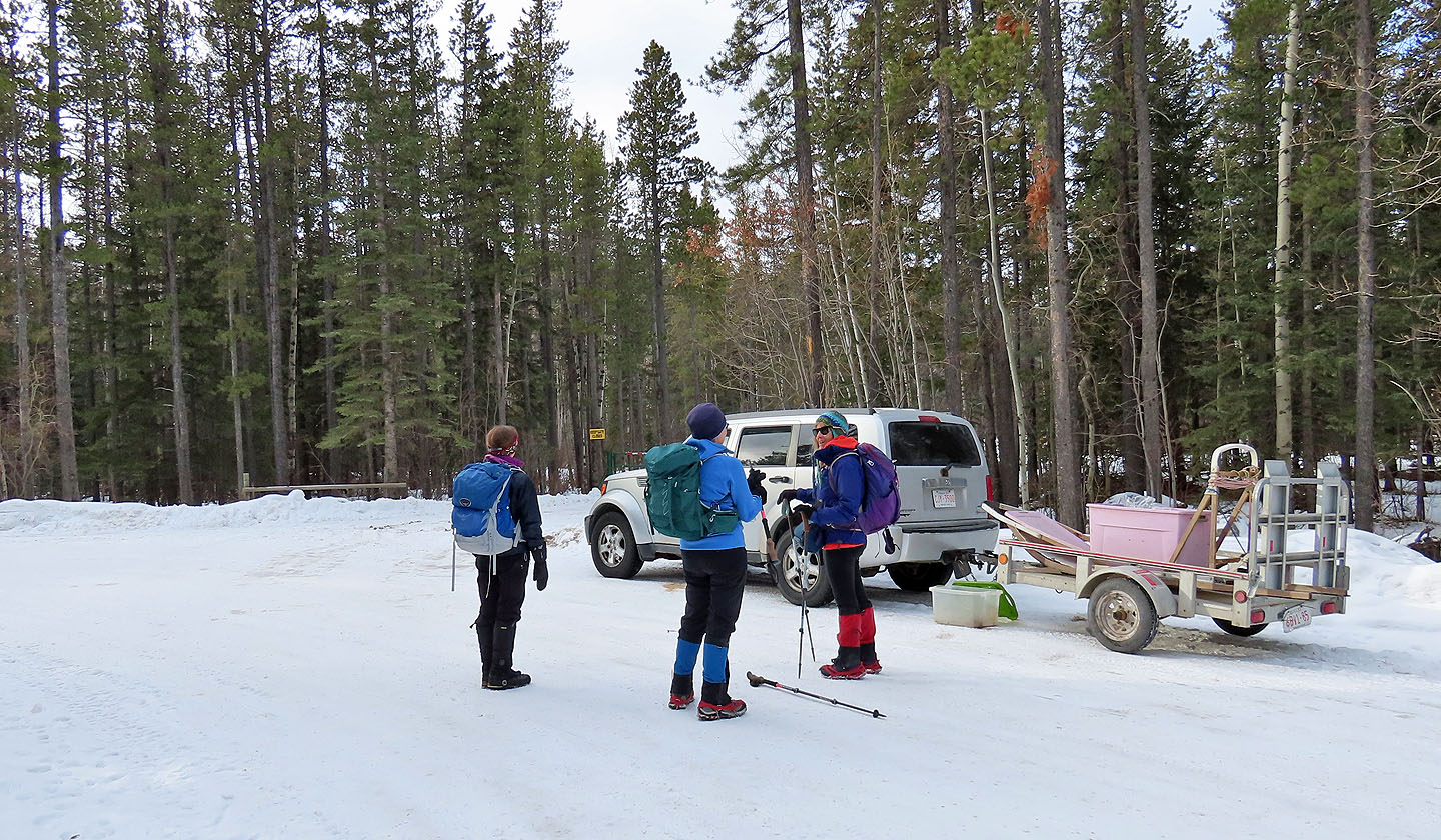
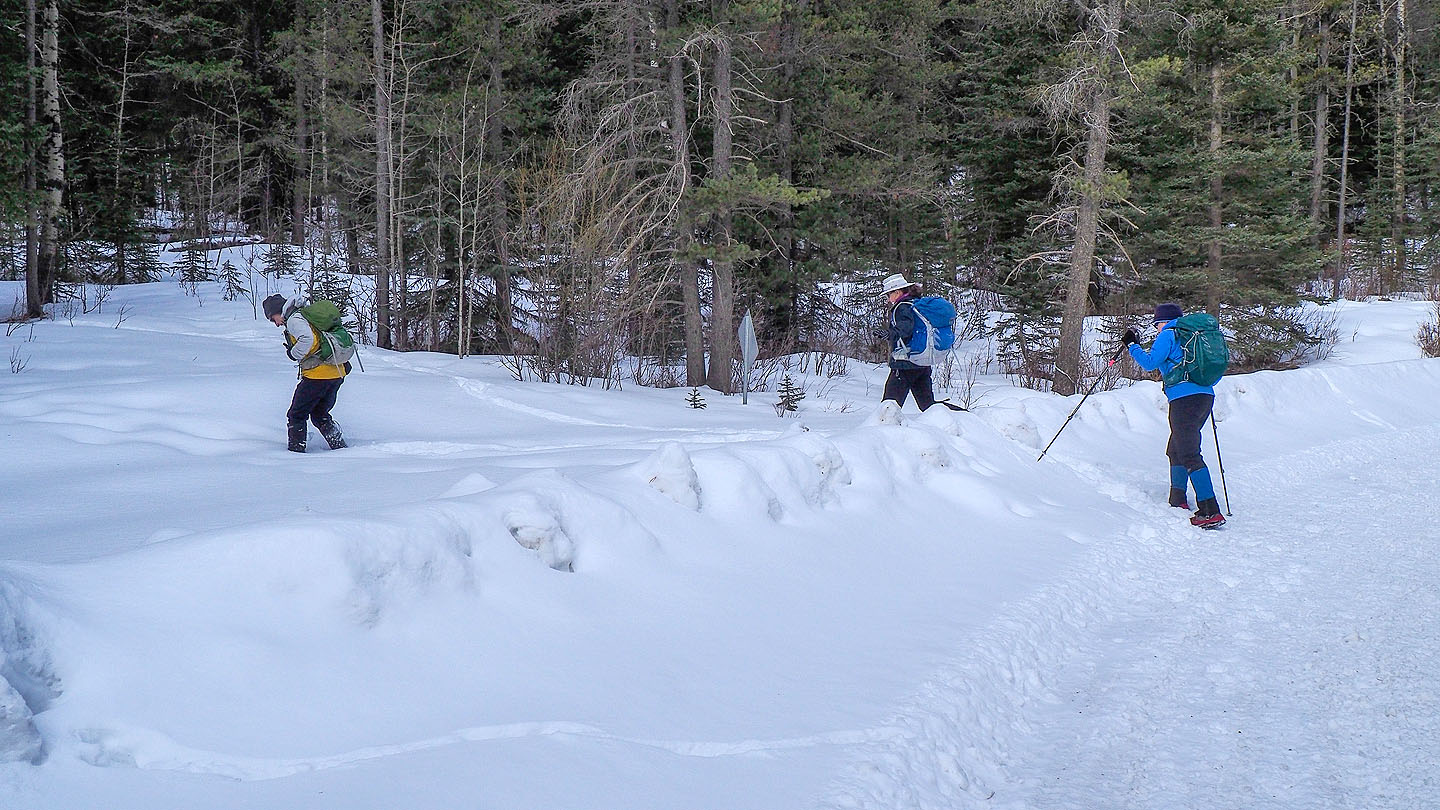
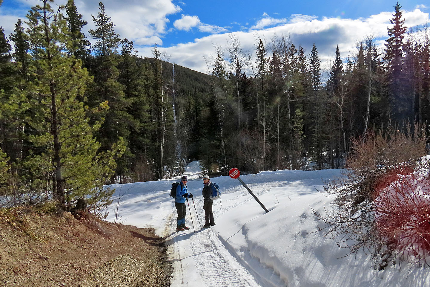
We met Zora and Christine at the trailhead and started walking up the resource road. We saw a few travellers, mostly on ATVs, but also some on dog sleds and snowmobiles. Whatever snow that hadn't been plowed aside, had been flattened by these machines. We easily hiked along the wide, level road. After passing two gravel pits, we came to a fork and kept left.
The dirt-bike trail begins where the road bends left. There was no sign of the trail, however; neither tire tracks nor boot prints disturbed the snow. But after covering a hundred metres or so, we discerned a trail, a passage through bushes. We lost the trail in the trees, but eventually picked up a partly dry path running through openings in the trees. We soon reached the lookout and stopped for several minutes before hiking 100 m to the treed summit.
After the nondescript summit, we had trouble following the snow-covered trail and missed a right turn. But travel was easy, even enjoyable through the thin forest, so we kept straight ahead. Besides, the dense vegetation on our right dissuaded us from trying to bushwhack directly back to the road. Just when there appeared to be no easy options to return to the road, we came to an ATV/cutline trail. It runs straight to the resource road, and we sauntered back to the parking lot.
Other trails lead to Elbow Lookout, and if it weren't for the snow, we would have tried them. Perhaps in drier conditions, we'll be back to explore them.
One of a few dog sleds at the trailhead
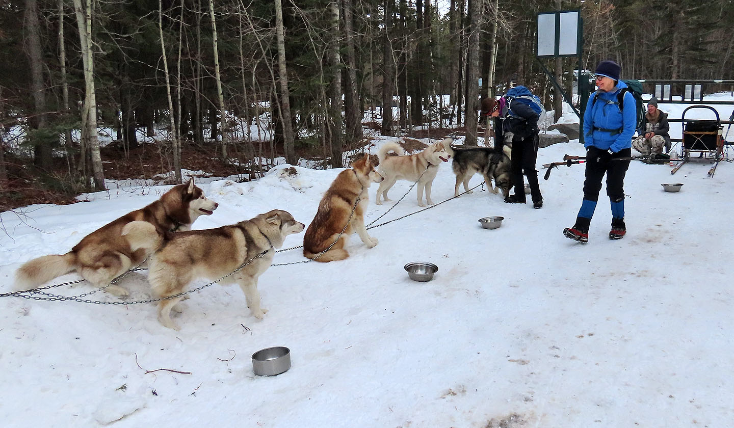
After the gate, waiting sled dogs gave us a friendly greeting
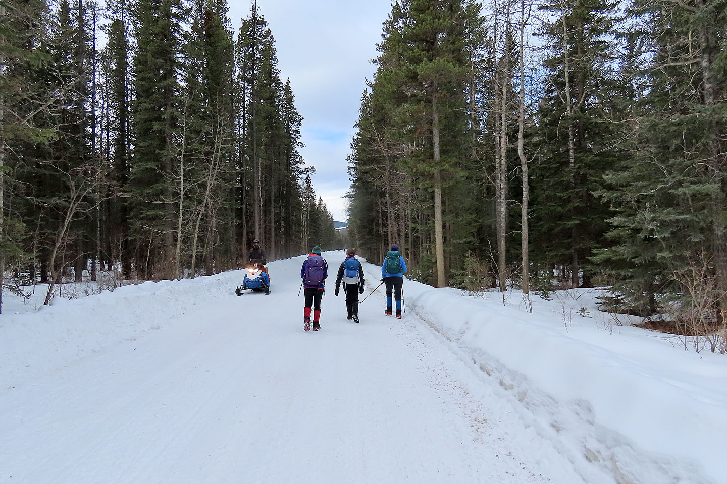
The first kilometre of the resource road is straight as an arrow
When we left the road, we saw no sign of a trail
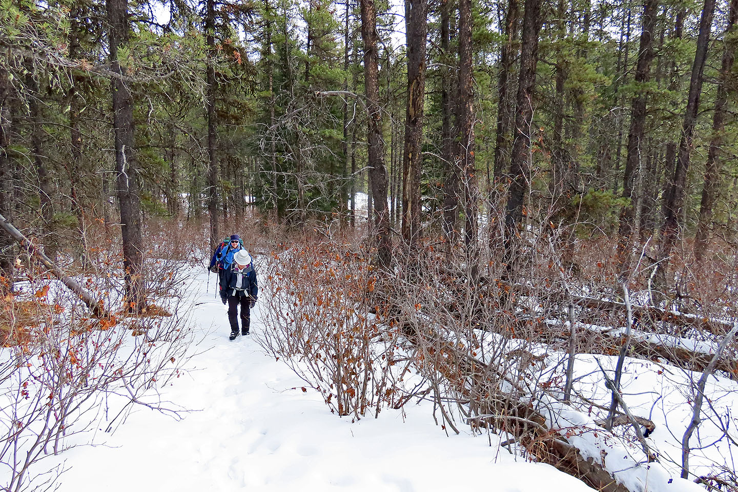
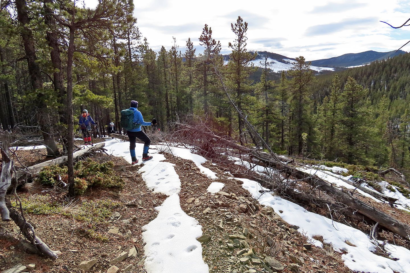
Not far from the road, we found the trail
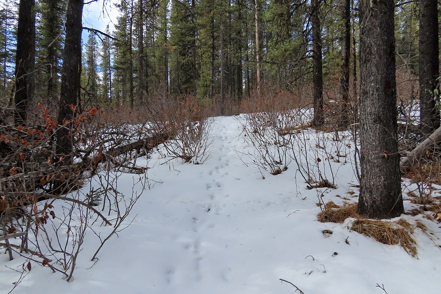
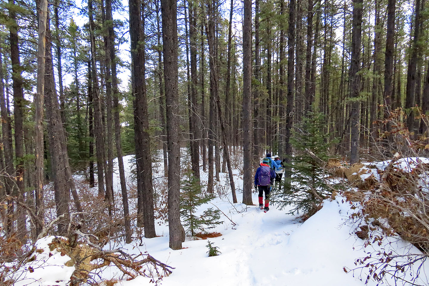
The trail was obvious at first, but we soon lost it
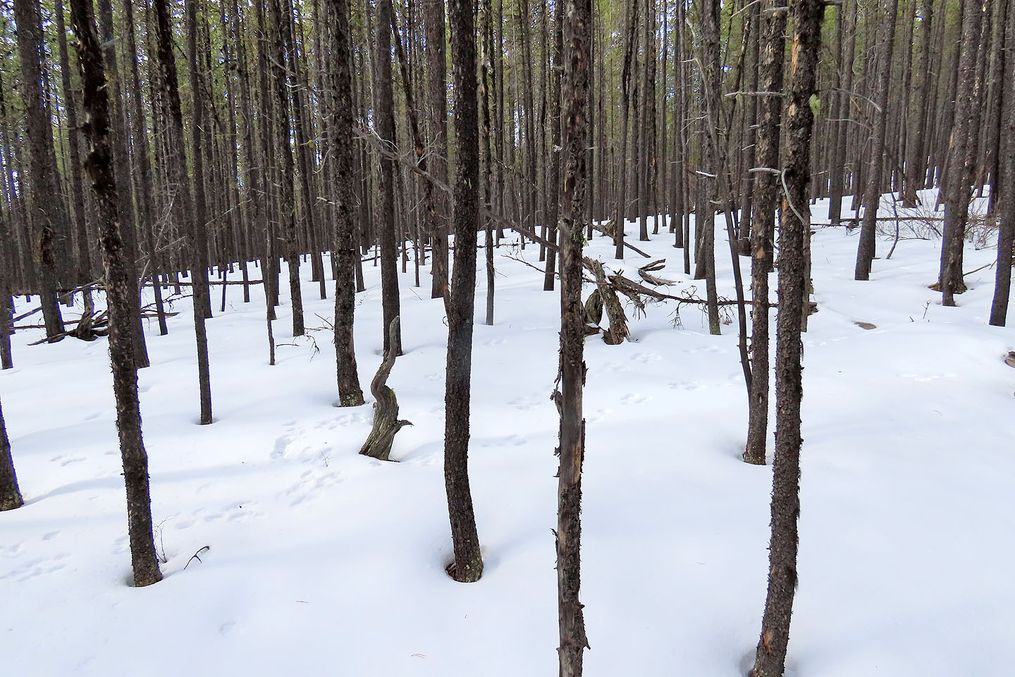
After losing the trail, we hiked through a matchstick forest
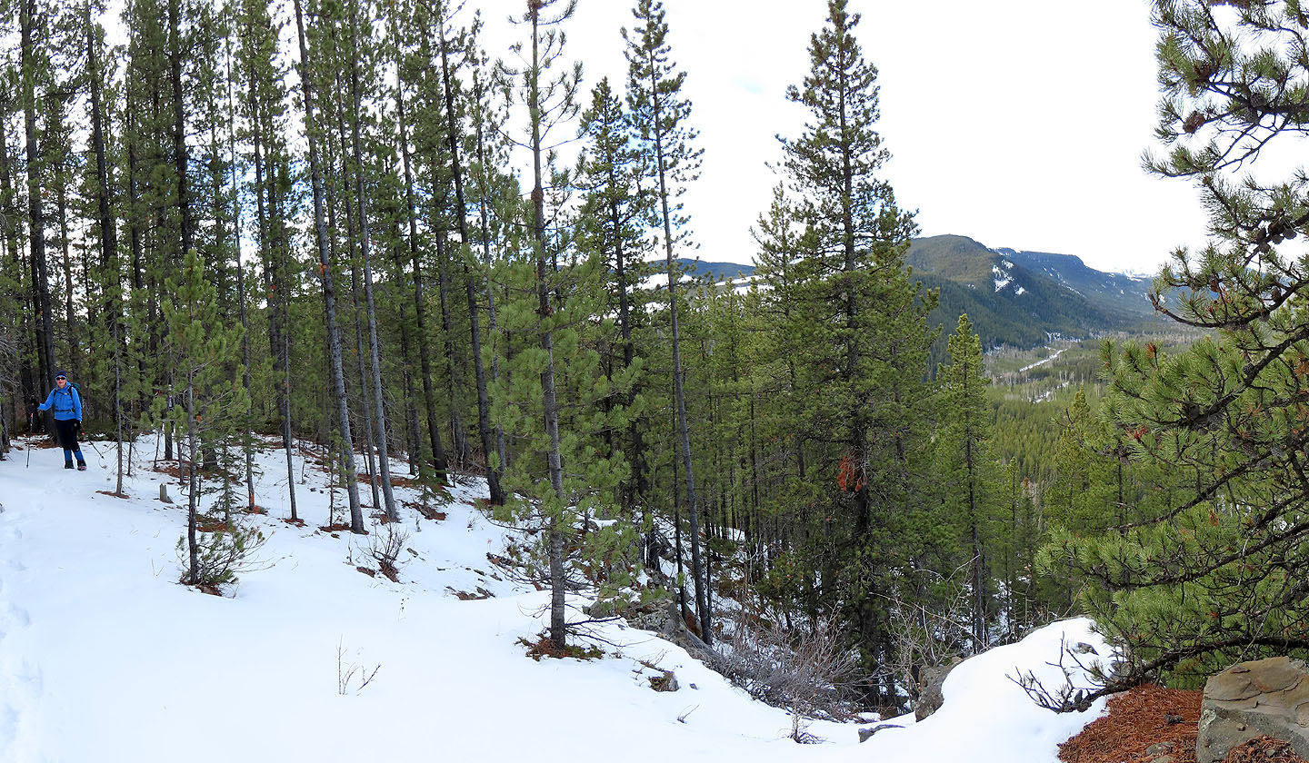
Back on the trail. Lying south is Wildhorse Ridge.
Swany's Ridge lies west
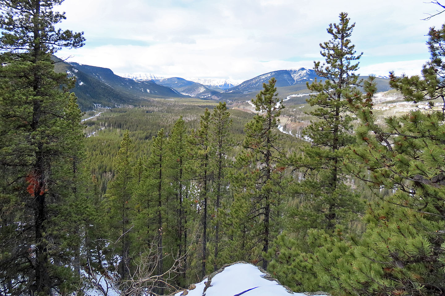
Prairie Mountain seen from the lookout
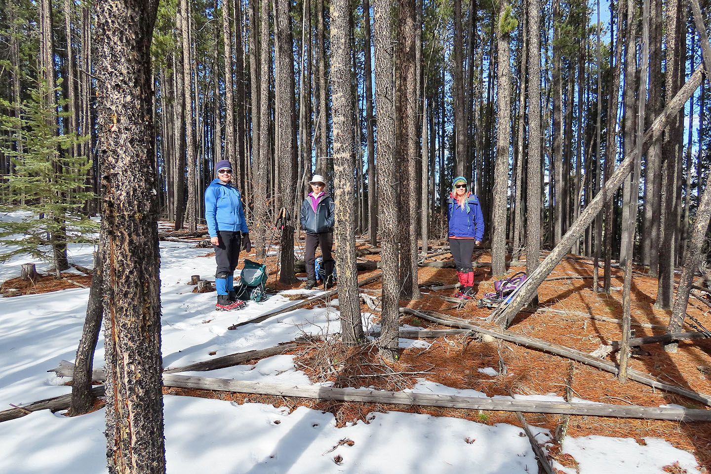
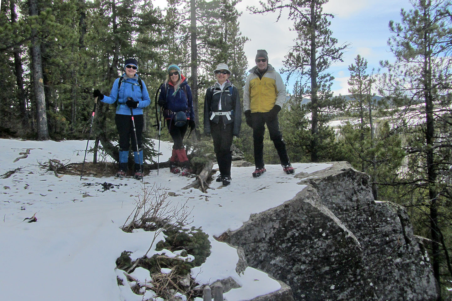 Dinah, Christine, Zora and me on the lookout
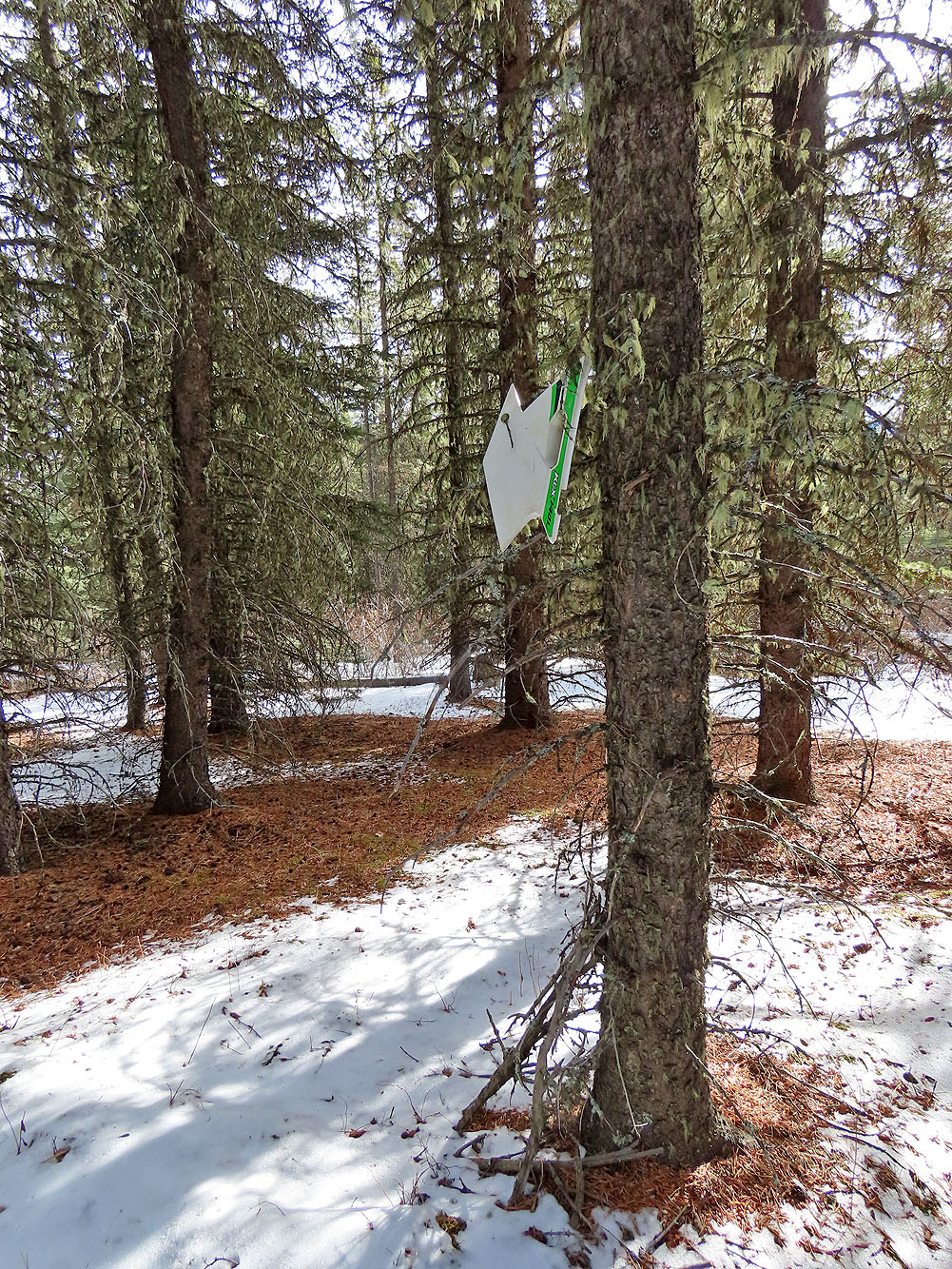
What appears to be a piece from a dirt bike hangs from a tree by the summit
We continued down the trail after the summit
We found a sunny, dry spot to take a break
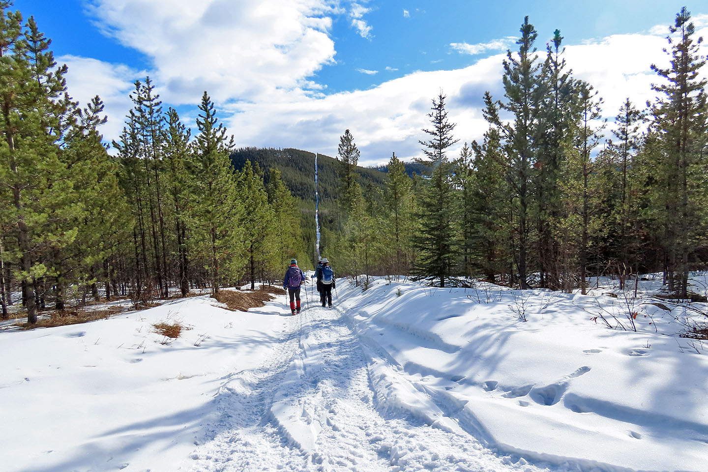
Further along, we turned onto a cutline/ATV trail
The cutline trail leads back to the resource road
 82 J/15 Bragg Creek