bobspirko.ca | Home | Canada Trips | US Trips | Hiking | Snowshoeing | MAP | About
Wildhorse Ridge
Kananaskis, Alberta
February 19, 2022
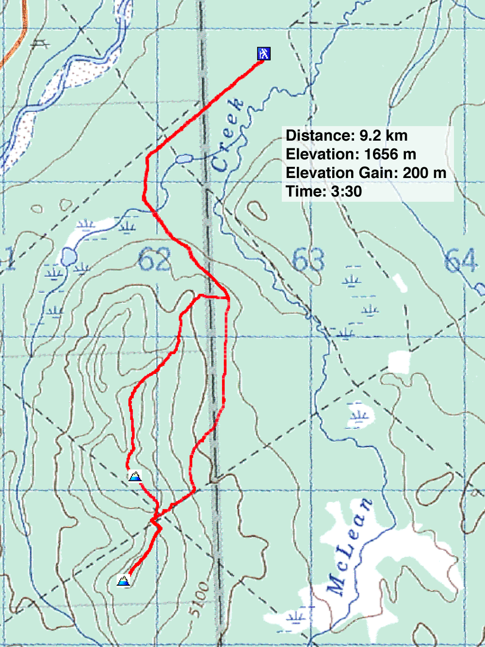
Distance: 9.2 km (5.7 mi)
Cumulative Elevation Gain: 279 m (915 ft)
While hiking Fullerton Loop, I noticed gentle hills standing next to McLean Creek. As an easy winter hike, I thought they held promise. The resource road provides an approach while clear-cut slopes offers views. On the downside, I was concerned the OHV area would be overrun with loud ATVs.
I invited Sonny and Zosia to join me on a ridge traverse that included two small summits. We arrived at McLean Creek Staging Area, passing trucks unloading large 4-wheelers before we parked by the trailhead.
We started up the level, arrow-straight resource road, covering a kilometre before it bends left. We soon turned onto a southbound ATV and began climbing. Before the trail dips, we hiked up a clear-cut to the ridge. We followed the snowy ridge as it crossed logging areas and forest before ascending a little bump ringed with trees: the North Summit. Lacking views, we didn't linger and continued down to a col and up the other side to the South Summit. Here the open slopes allowed views to the west. We spent a few minutes taking photos under gray skies, before returning to the col. Here, fortuitously, a road leads back to the south trail.
Being on foot, I expected to be intimidated by noisy ATVs zipping around us on this trip. But only twice did we encounter ATVs, the courteous riders waving as they quietly passed us. I learned that two inches of snow can absorb 60% of the sound, and we had a few inches of the stuff. This hike was more serene than I expected.
Postscript: Gillean Daffern had the same idea and emailed me: "We, too, have done the exact same loop, also in winter. We followed footprints/dog-prints up the first bit of the open ridge, so we are not alone in thinking this was a good place for a short walk. We called it Wildhorse Ridge cos there were 9 of the wildies on the open south summit. " Perhaps she'll include it in the next edition of Kananaskis Country Trail Guide.
KML and GPX Tracks
Sonny's Trip Report
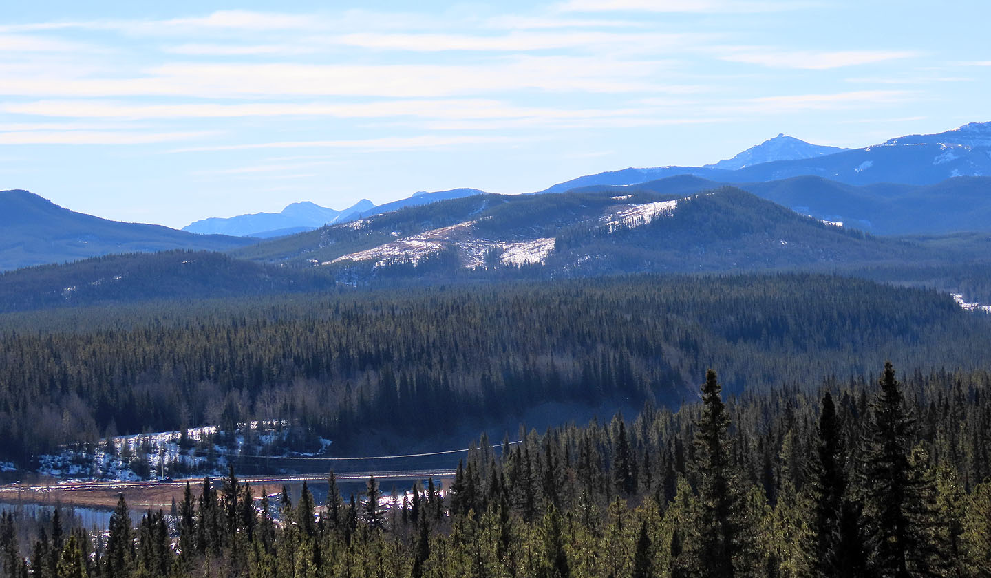
Wildhorse Ridge seen from near Fullerton Loop
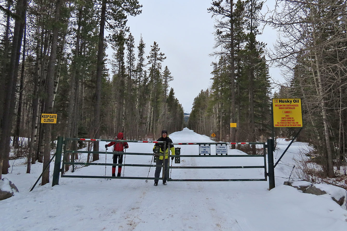
The trailhead
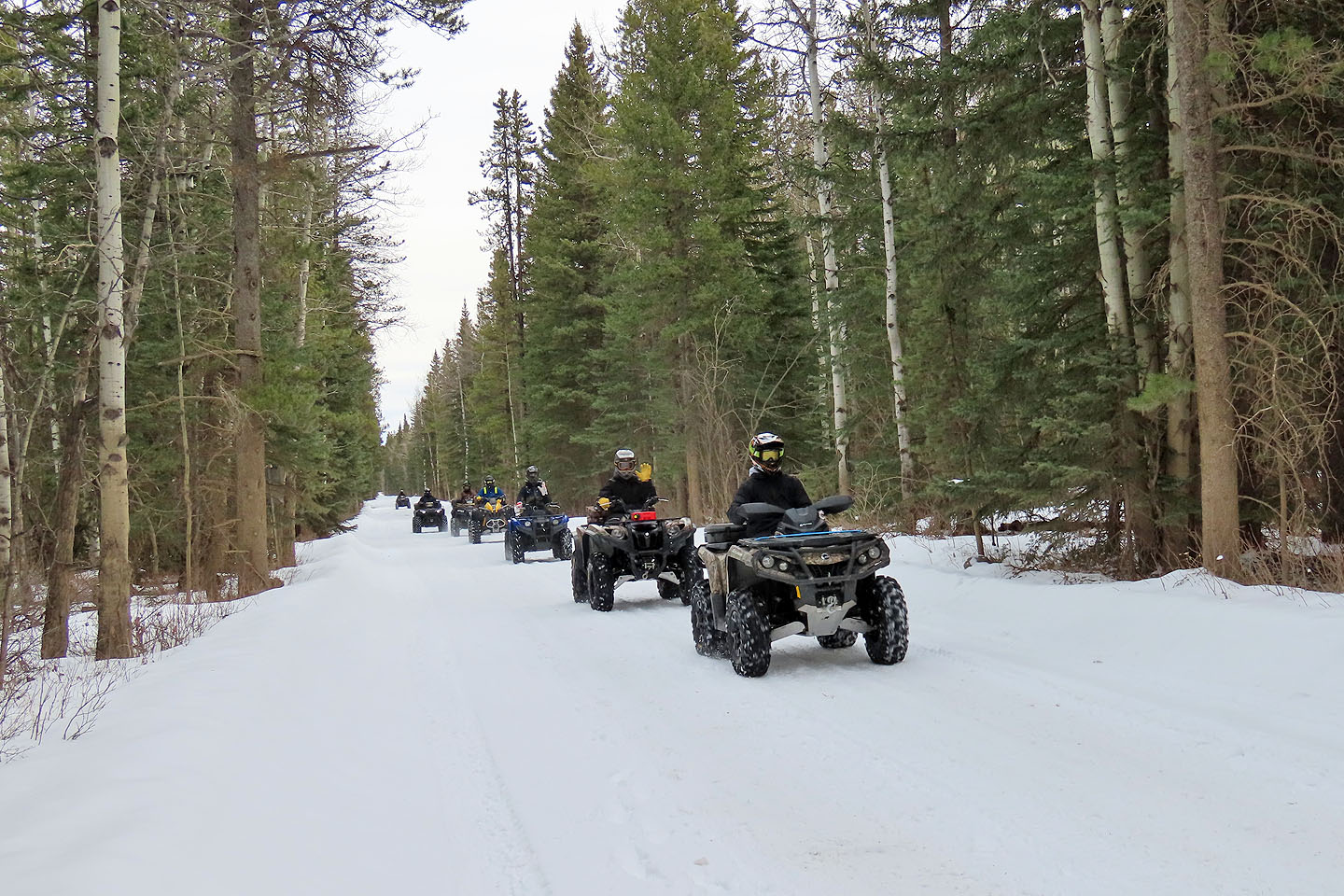
We stepped aside to let ATVs pass
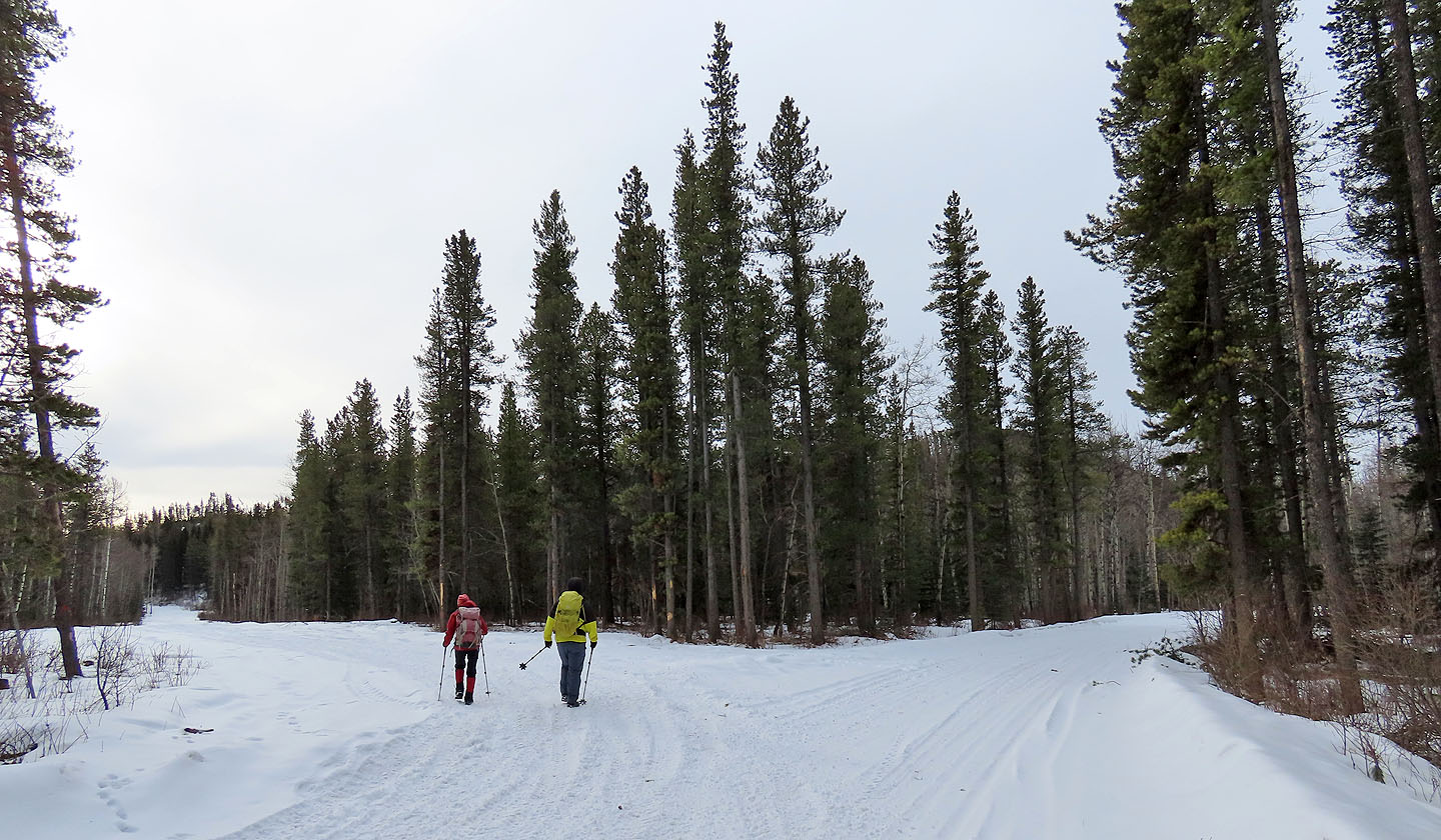
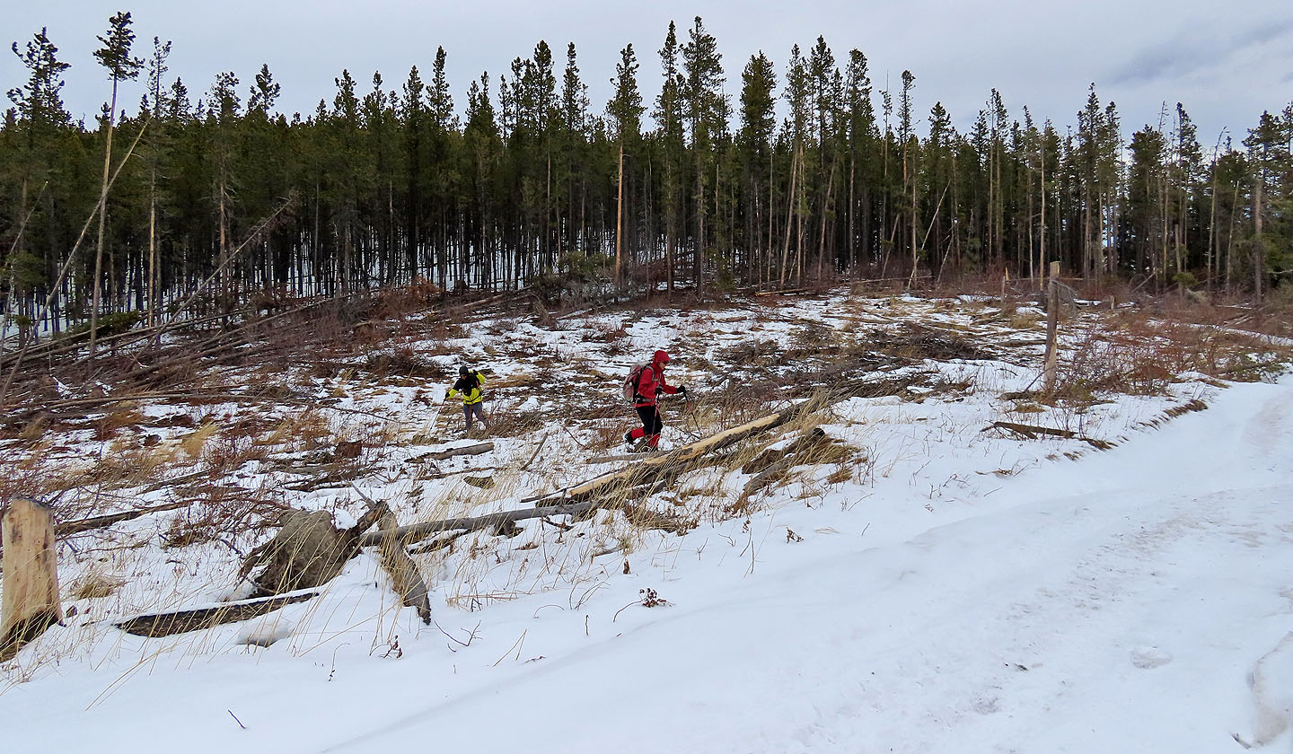
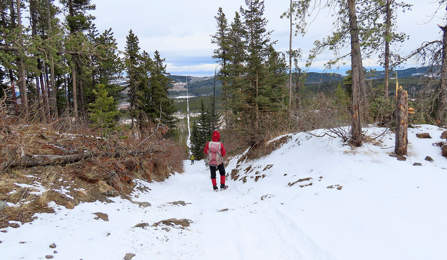
1.3 km from the trailhead, we turned onto a trail going south
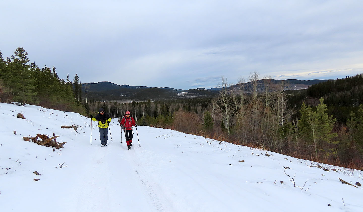
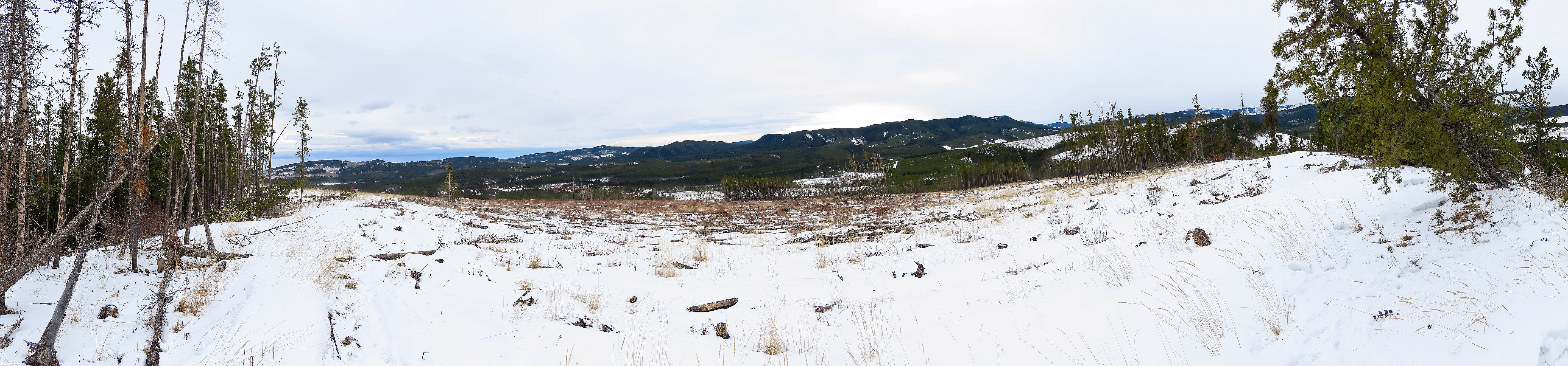
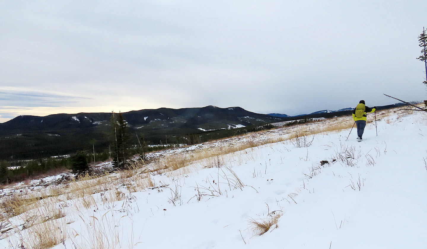
A gentle ascent soon revealed views behind us
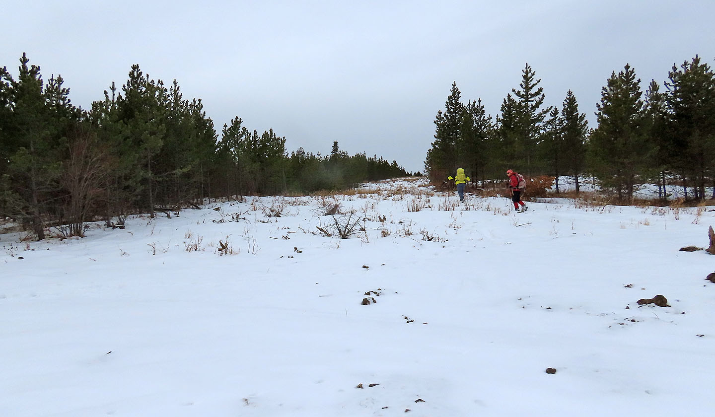
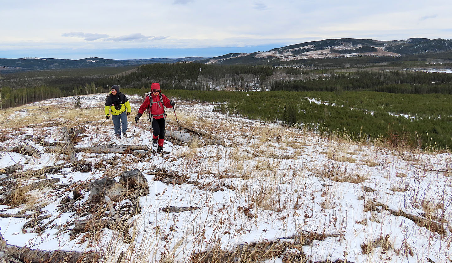
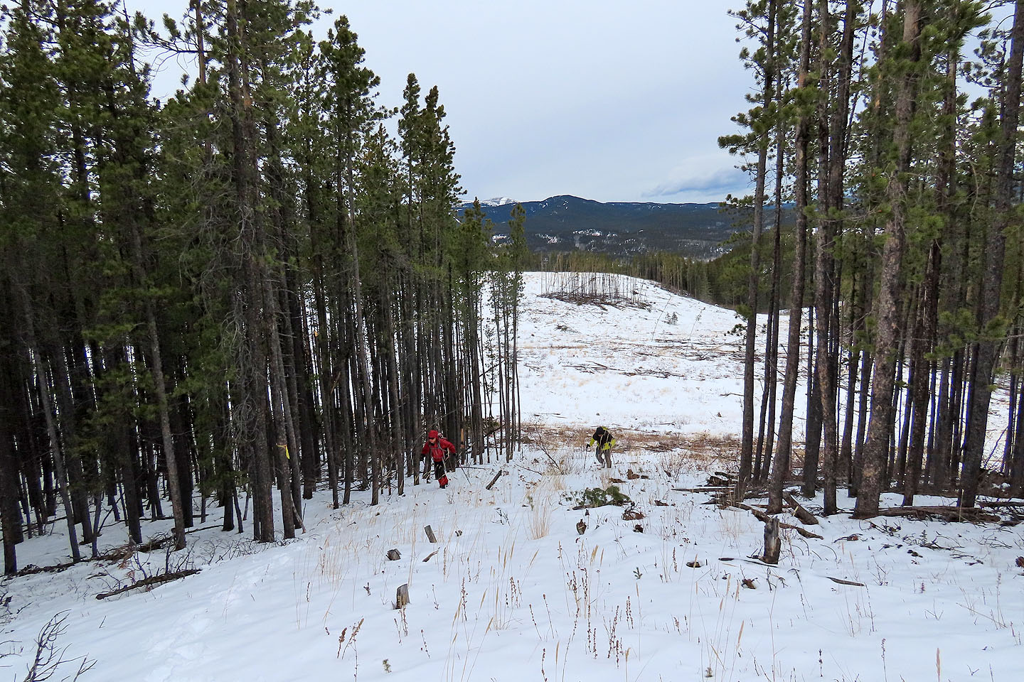
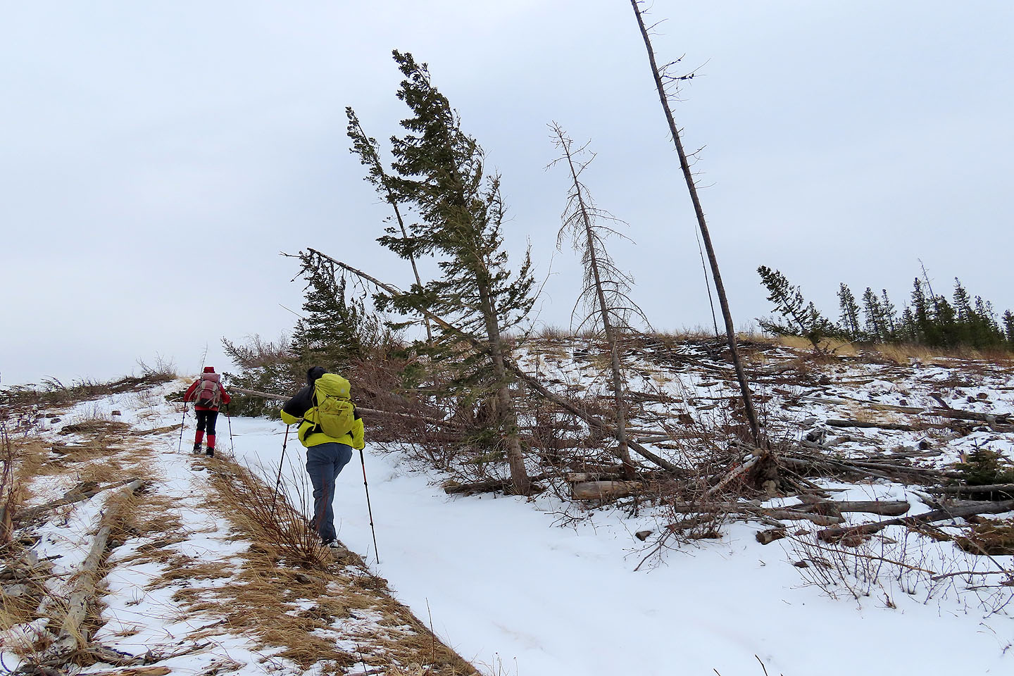
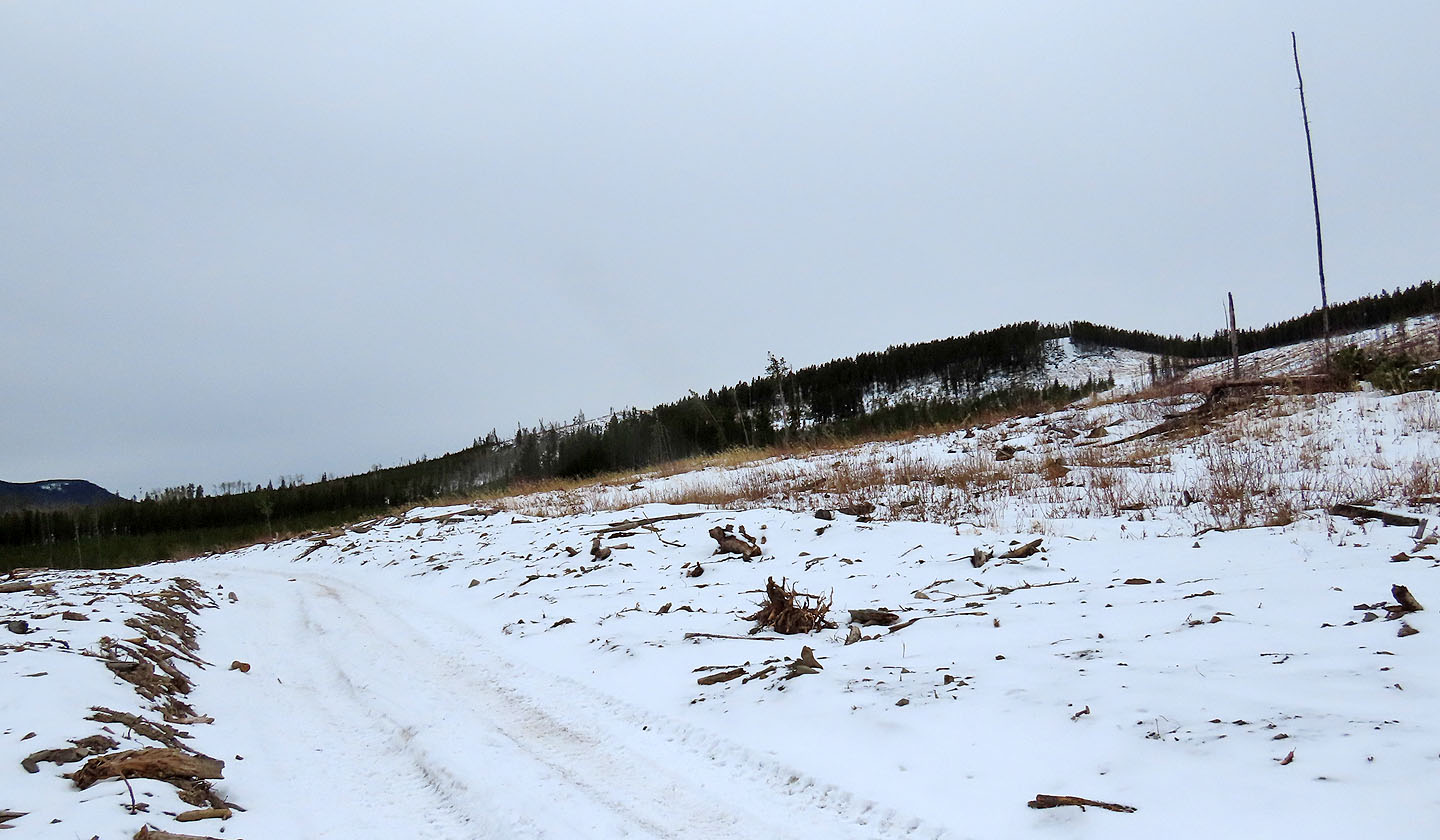
Before the trail begins descending, we turned off onto a cutblock
We headed to the ridge in the centre
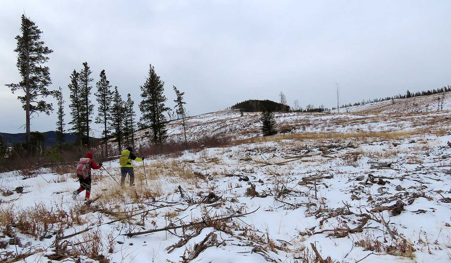
McLean Hill appears behind us
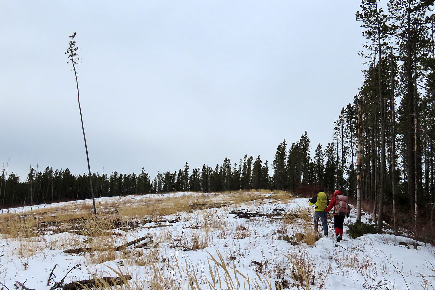
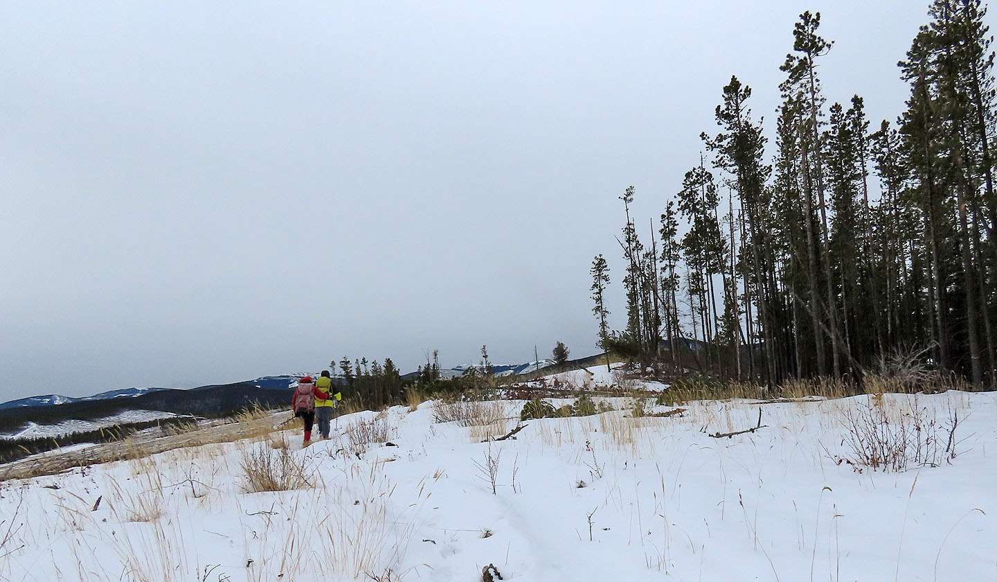
We'll soon enter the forest
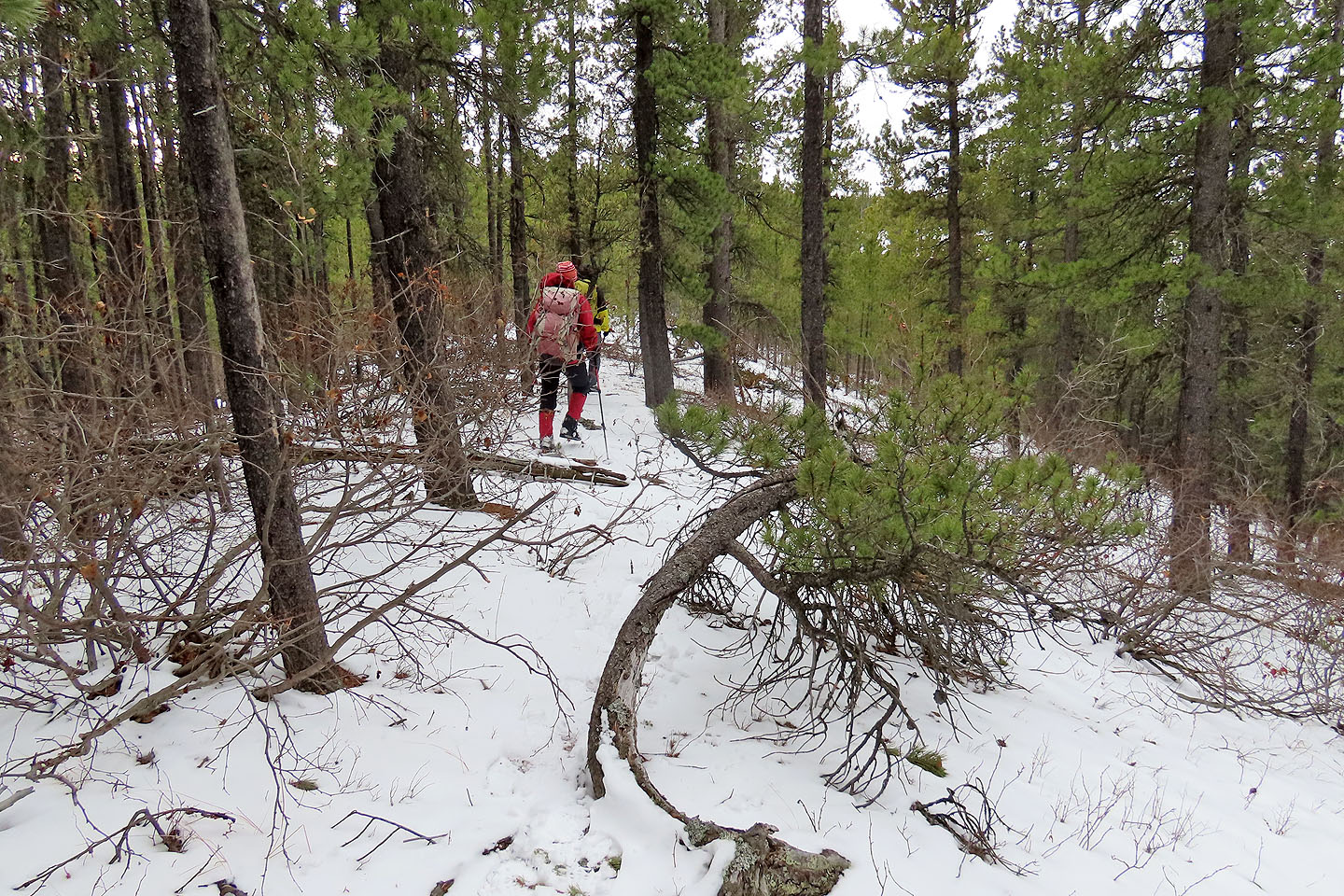
Travel along the treed ridge was straightforward
The North Summit is bereft of views
Looking back as Zosia and Sonny ascend the summit
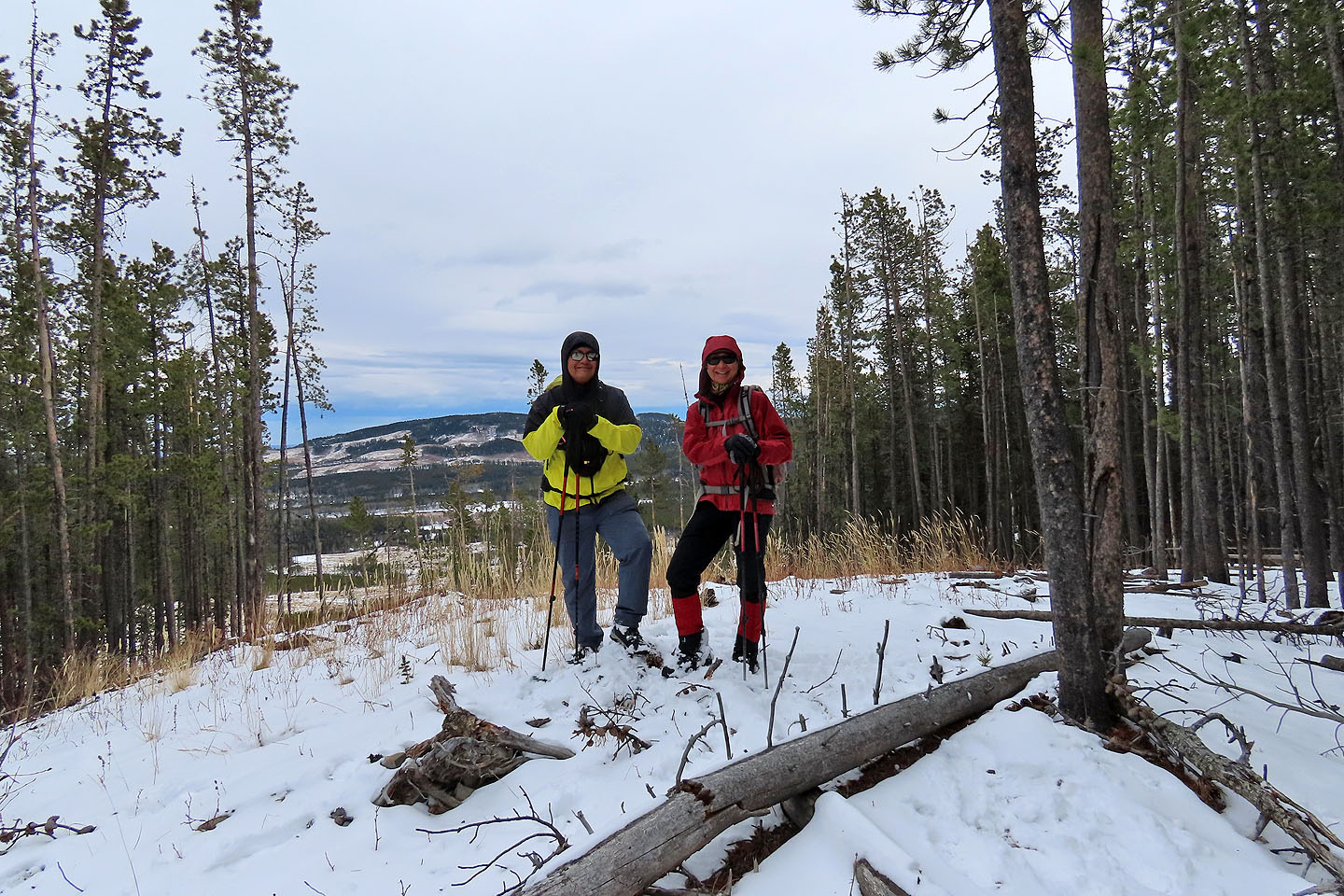
Sonny and Zosia pose on the top
We reached the col between the summits. Later we returned here and followed this road to the south trail.
We started up the other side
The last stretch to the South Summit is quite gentle. Left is Quirk Ridge.
Approaching the slight mound that marks the top
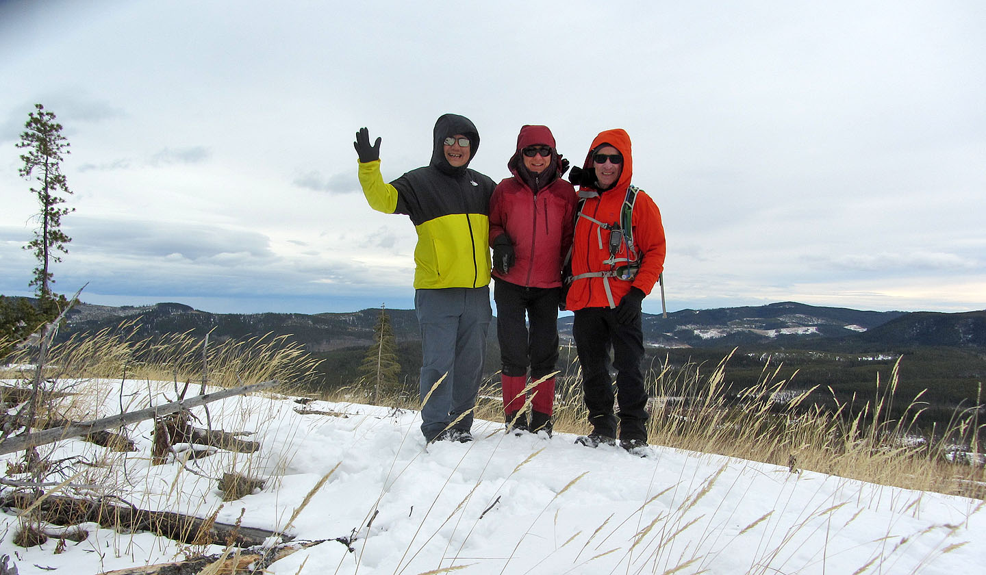
Standing on the summit
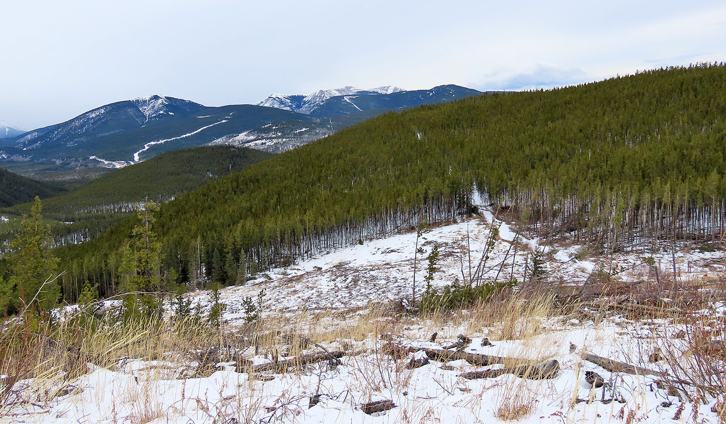
Heading back to the col, there's a view of Prairie Mountain, Ben's Hill and Moose Mountain
The road from the col leads back to the south trail
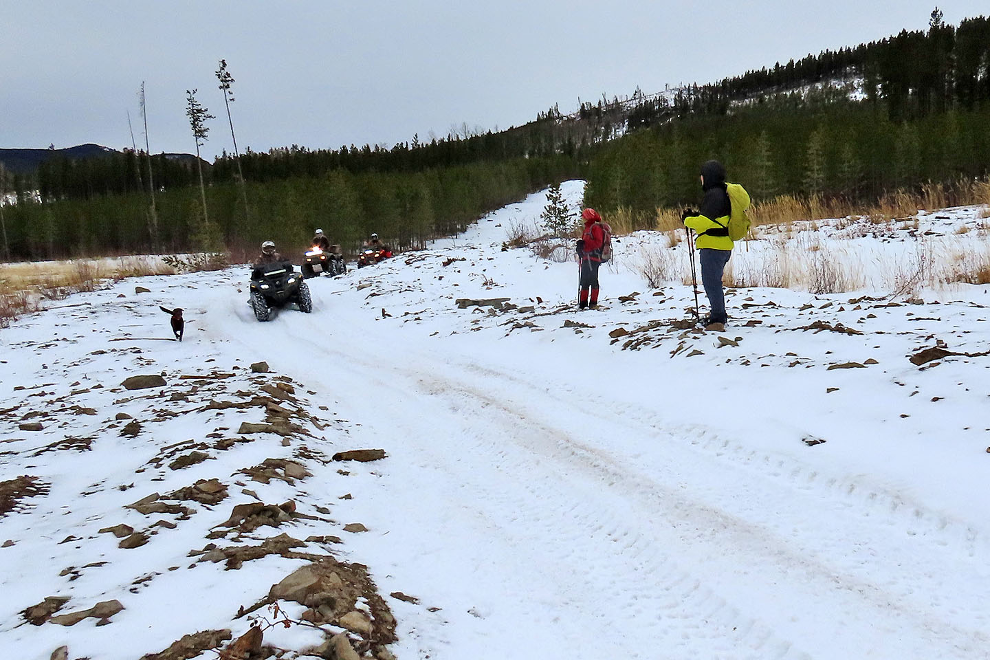
Back on the south trail, a dog appears to set the pace for three ATVs
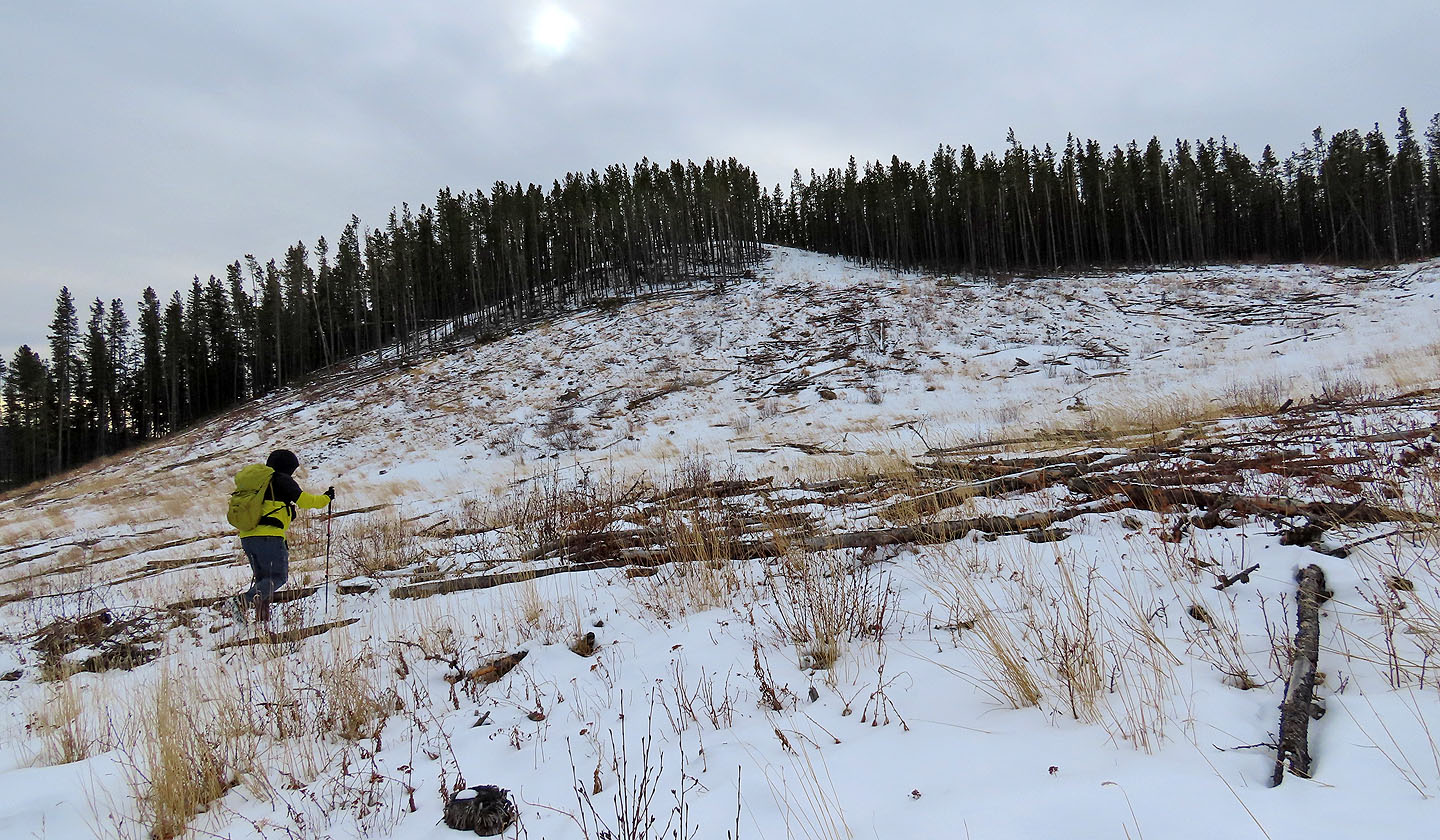
The North Summit seen from the trail
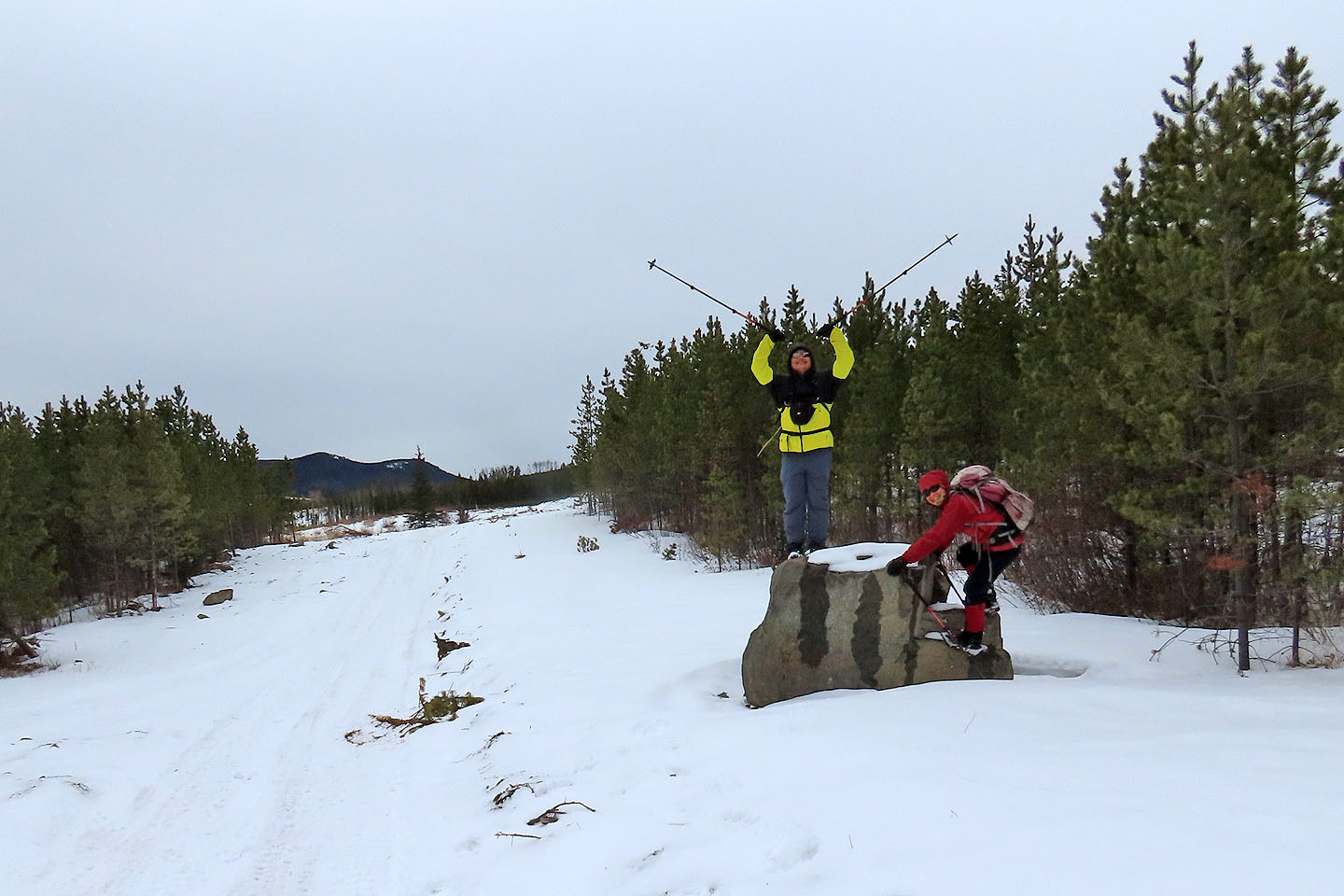
Before finishing the trip, Sonny and Zosia did one more climb
82 J/15 Bragg Creek