bobspirko.ca | Home | Canada Trips | US Trips | Hiking | Snowshoeing | MAP | About
Lesueur Ridge
Kananaskis, Alberta
May 12, 2017
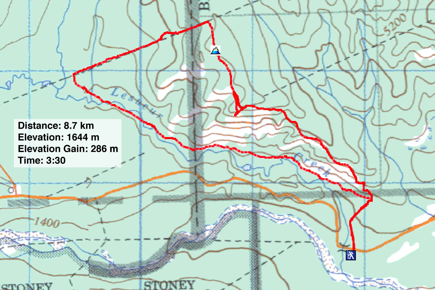
Distance: 8.7 km (5.4 mi)
Cumulative Elevation Gain: 339 m (1109 ft)
Lesueur Ridge will never make it to the top 100 hikes, but the open southern slopes are inviting, and the counterclockwise loop described in Kananaskis Country Trail Guide was easy to follow. It’s also an area I hadn’t been to so I was guaranteed novel sights.
Starting at the east end of Lesueur Ridge, I climbed the trail up the south slope through a mix of trees and meadows before hitting the ridge crest. The ridge was mostly treed, so to get far-ranging views I dropped down a bit to a grassy promontory. I tried following a trail from the promontory but when it faded, I cut through to get back on the main trail. Continuing on, I broke out of the woods to follow the edge of a bleak clearcut. I passed the summit, so nondescript that I was unaware of it.
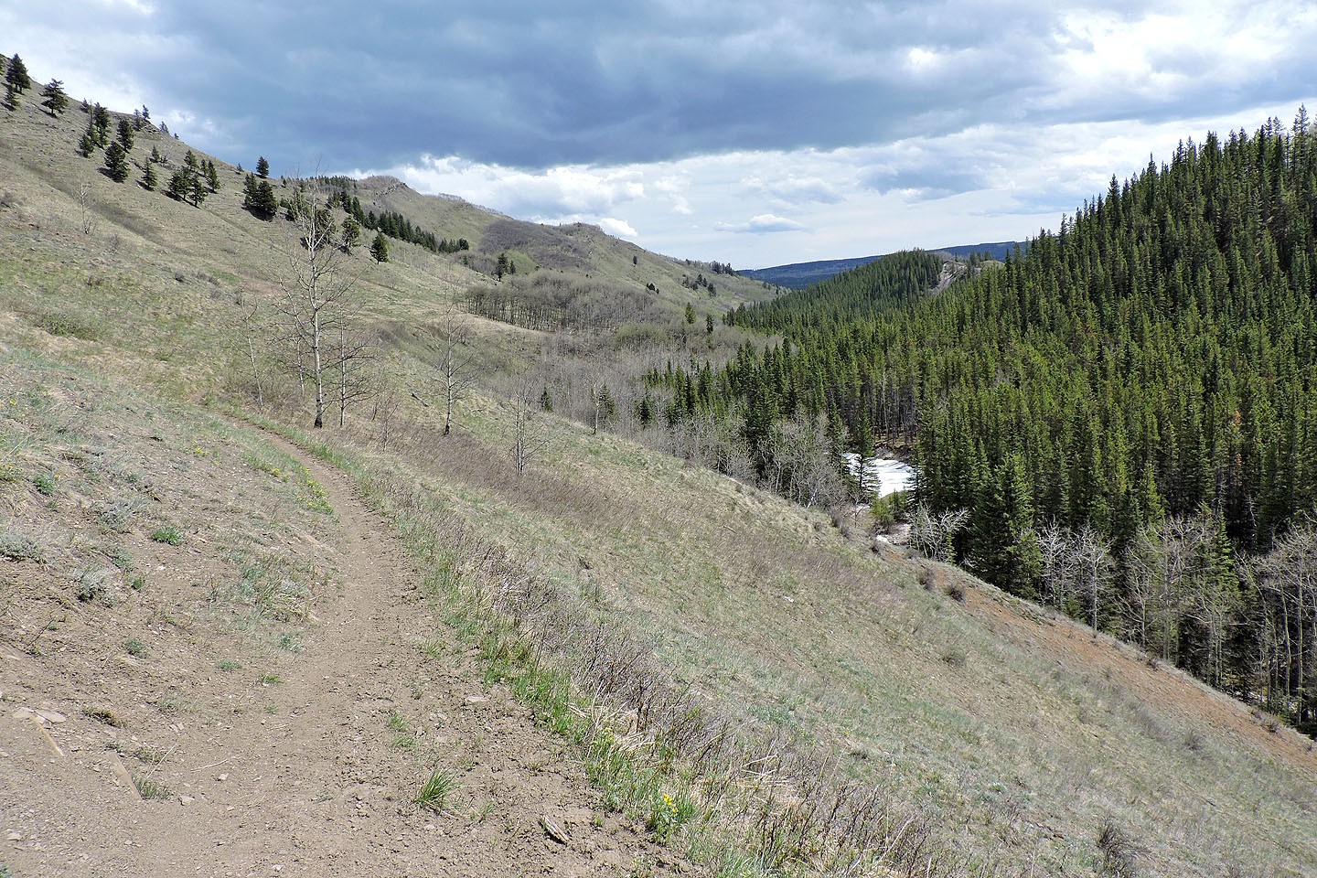
When I reached a cutline, I followed it down to where it intersects a road just above Lesueur Creek. The road soon turns and drops down to the creek, but I continued straight, following a single track: Lesueur Creek trail. The trail dips down and briefly runs alongside the creek before climbing to traverse pleasant open slopes, one of the nicest sections of the trip. I cruised back under a blue sky to the fork 500 m from the trailhead.
Normally, mountain approaches are confined to trees before reaching an open summit, but Lesueur Ridge is topsy-turvy. The ridge crest is mostly treed, but the accessible south slopes enjoy expansive meadows where the best hiking is found. And that was okay with me!
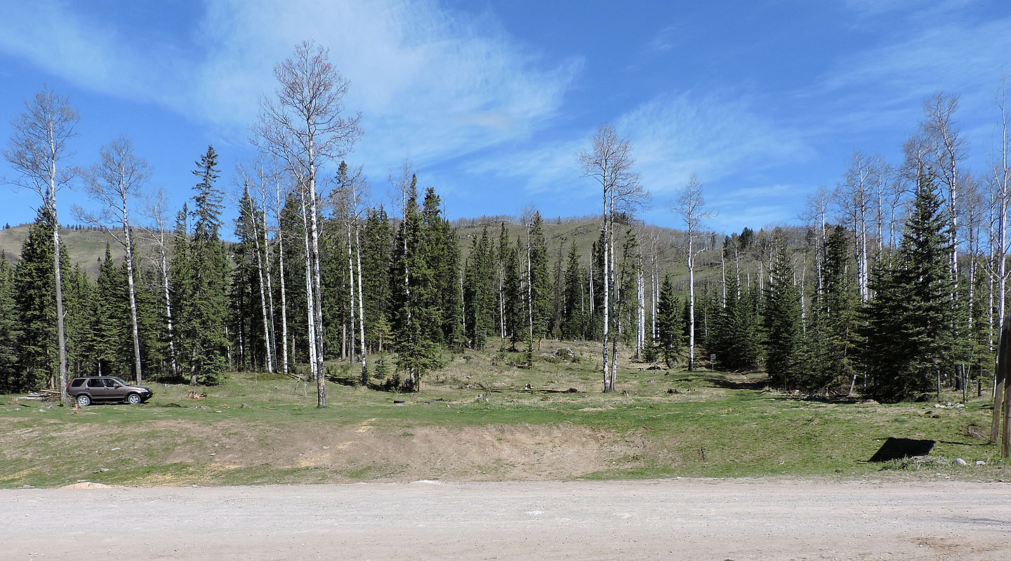
Lesueur Ridge seen from the trailhead
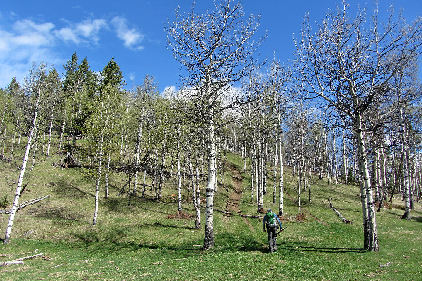
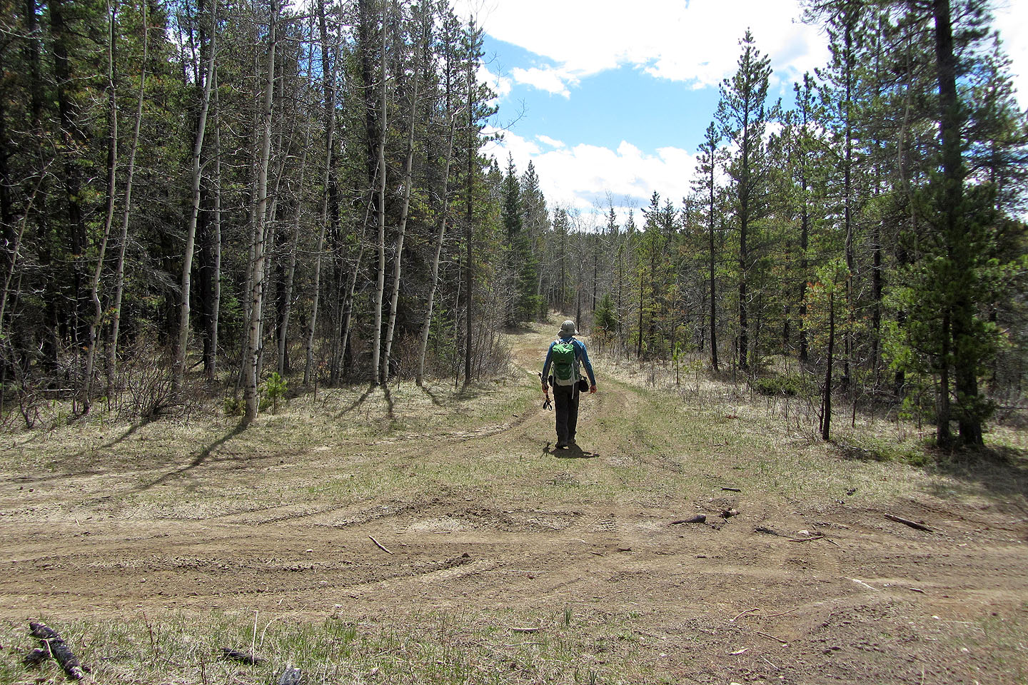
A few minutes after starting out, I reached a fork. I went straight ahead but came out on a trail on the left.
Much of the ascent is steep
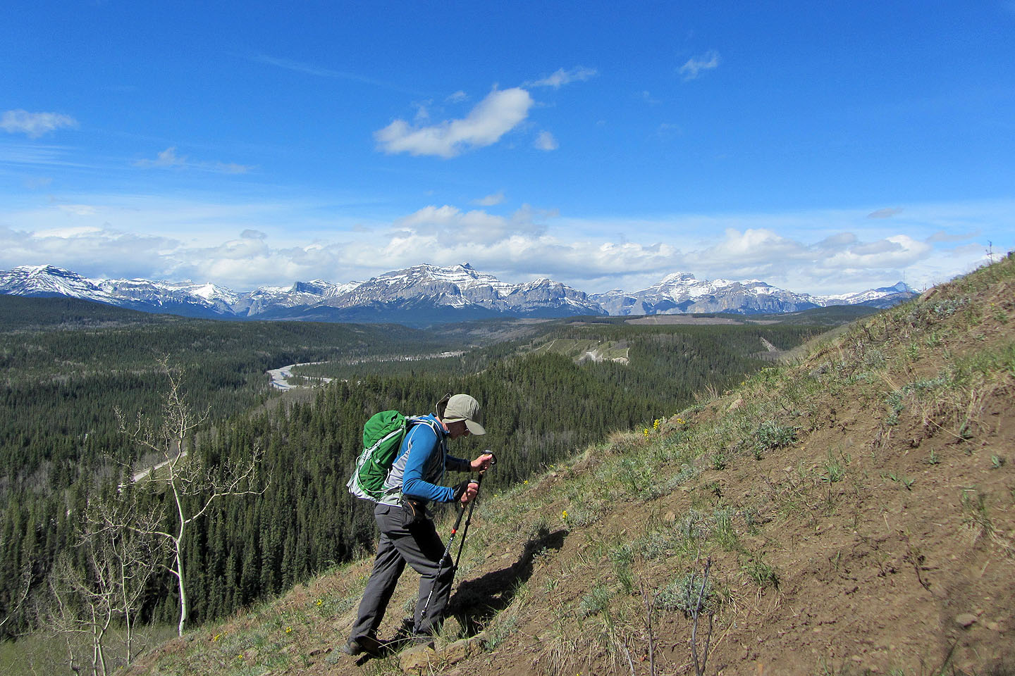
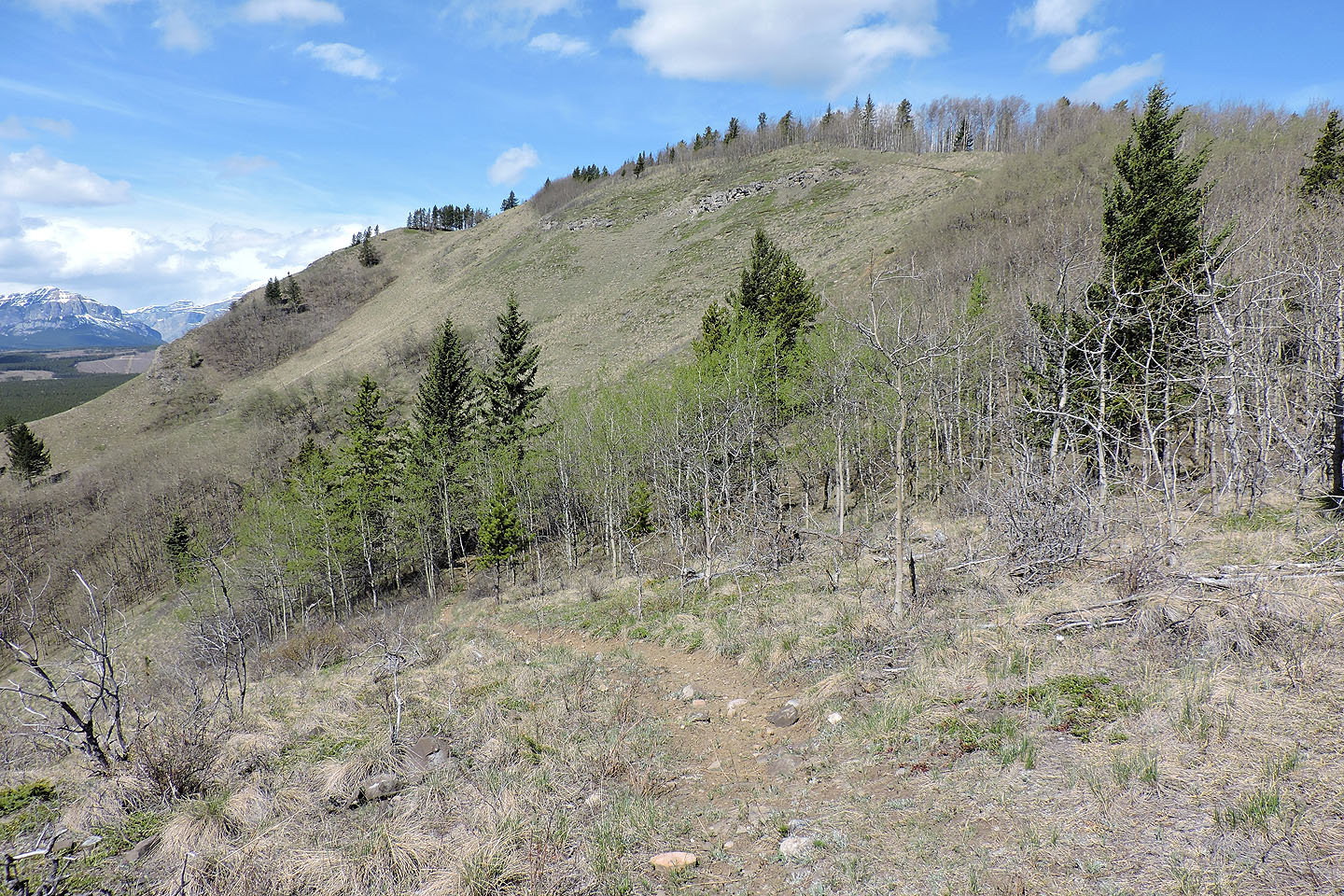
Eventually the ridge crest came into view
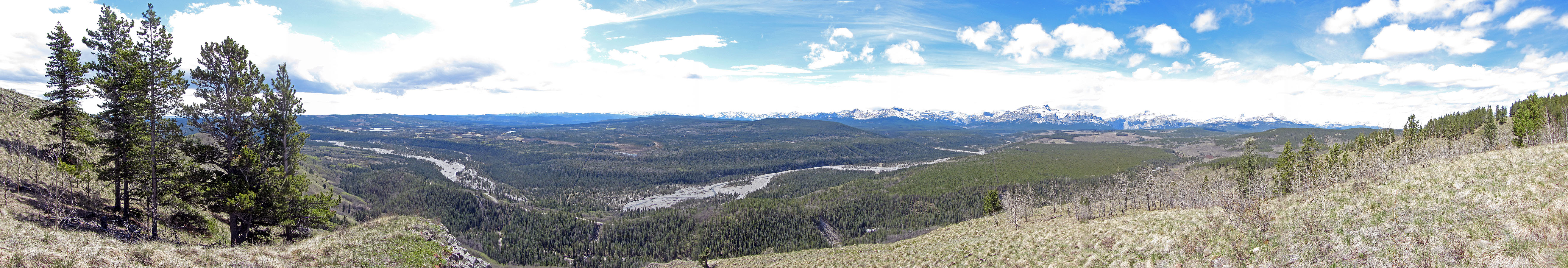
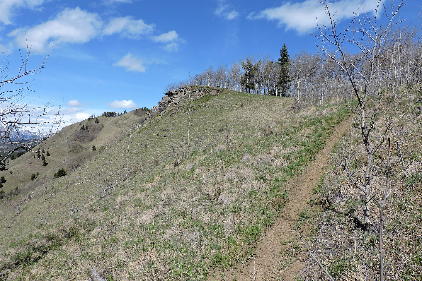
The grassy promontory on the left provides the best views
The trail bends right, but a path on the left goes to the must-visit promontory

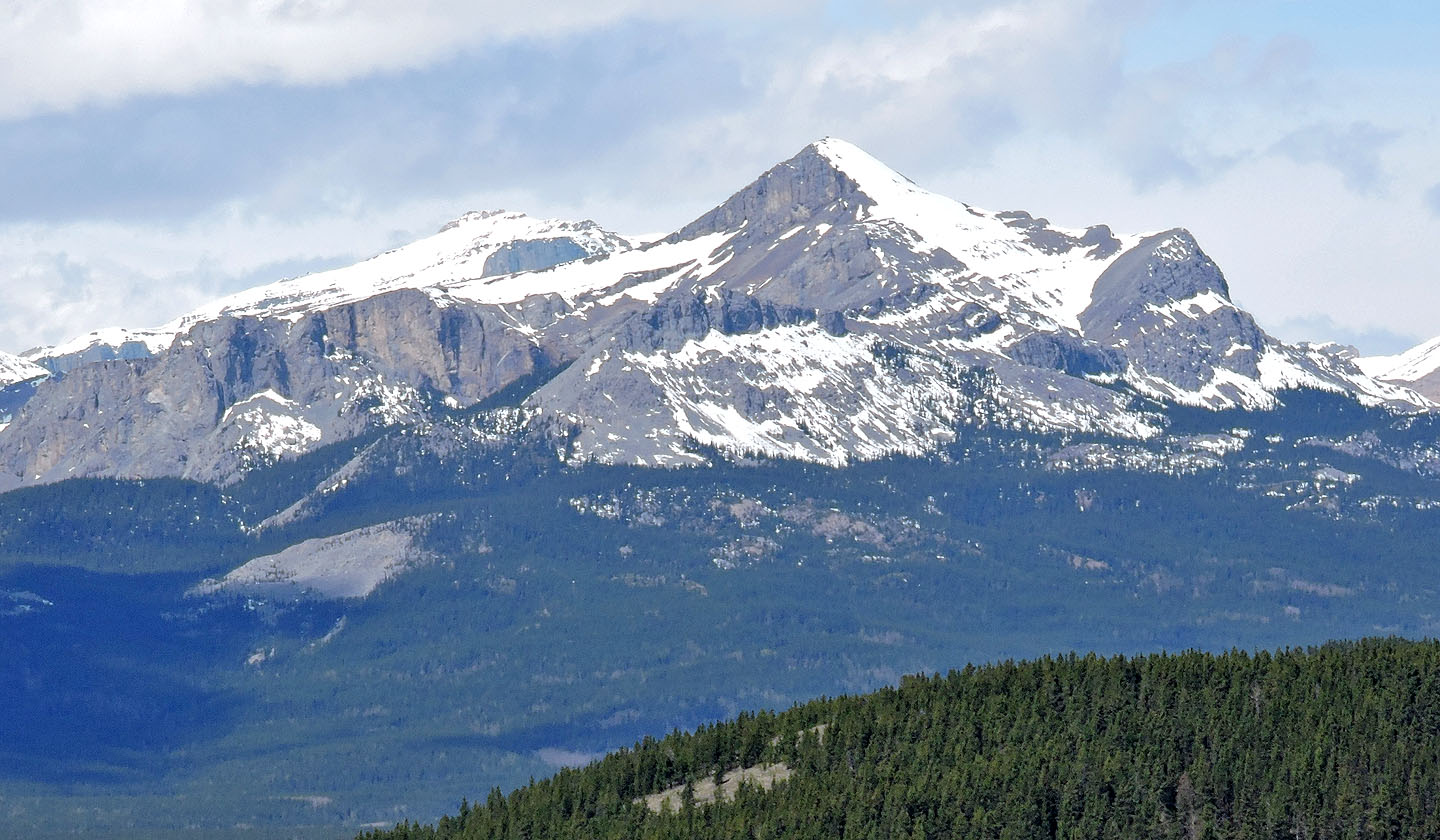
The backside of Association Peak shows the relatively easy slopes Dinah and I used in our 2007 ascent
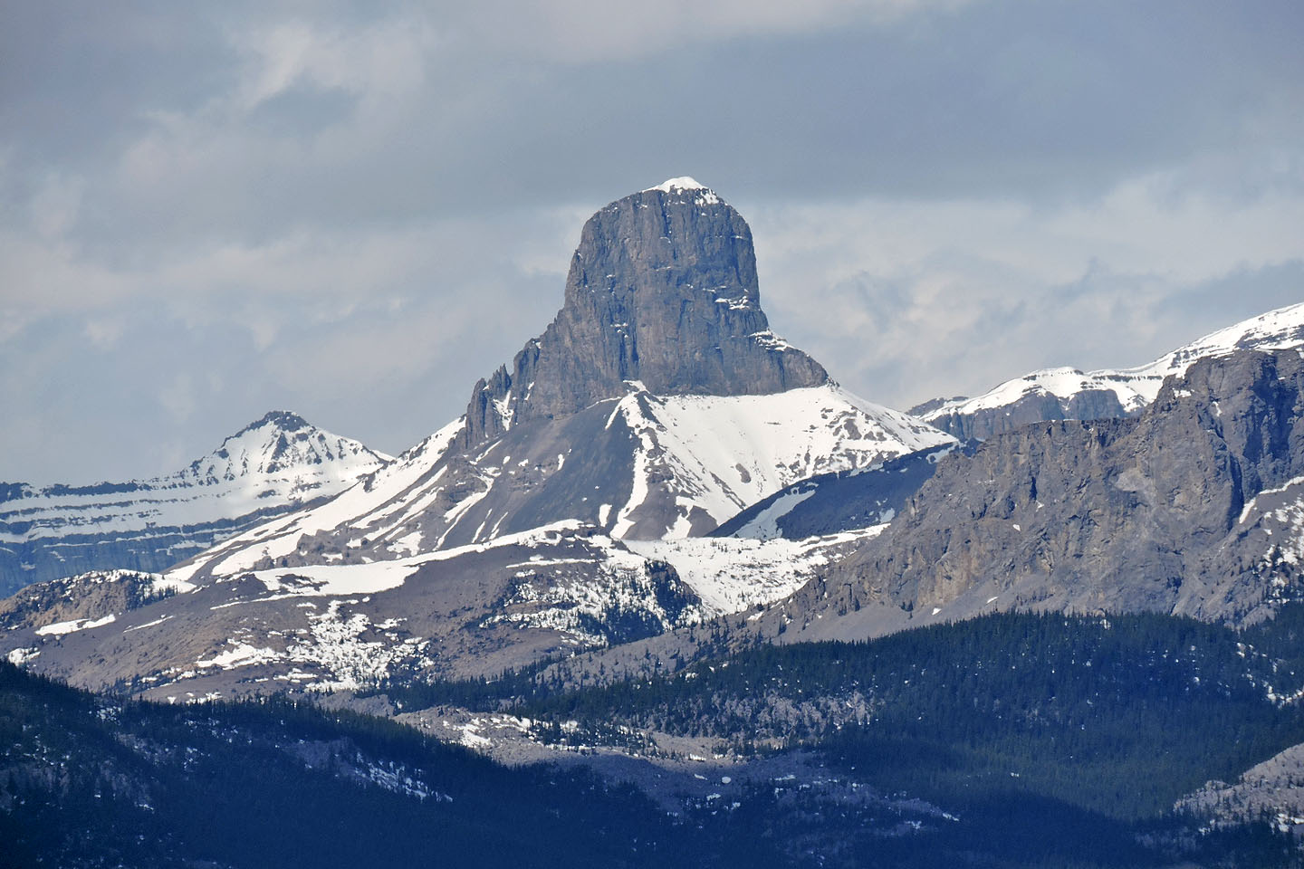
Devils Head
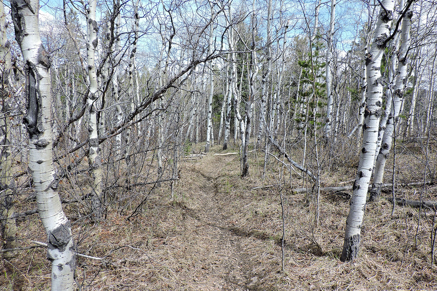
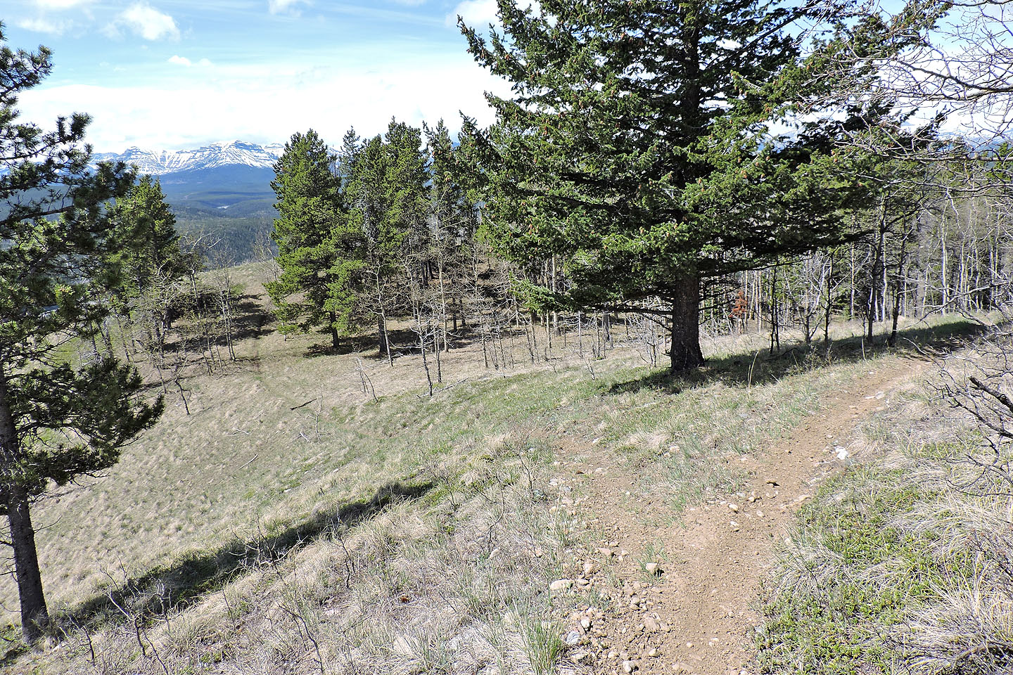
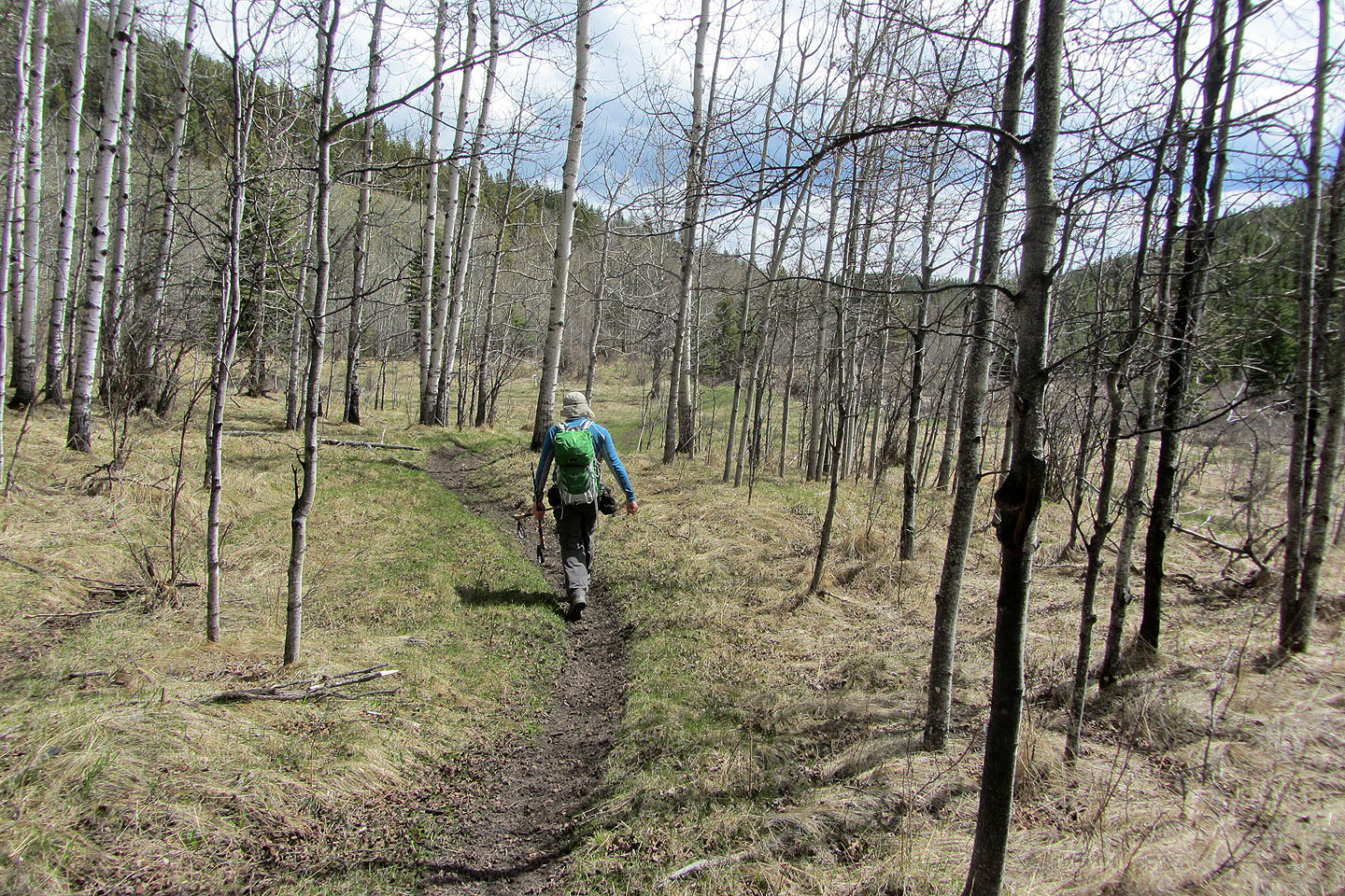
The trail continues along the ridge through some aspens
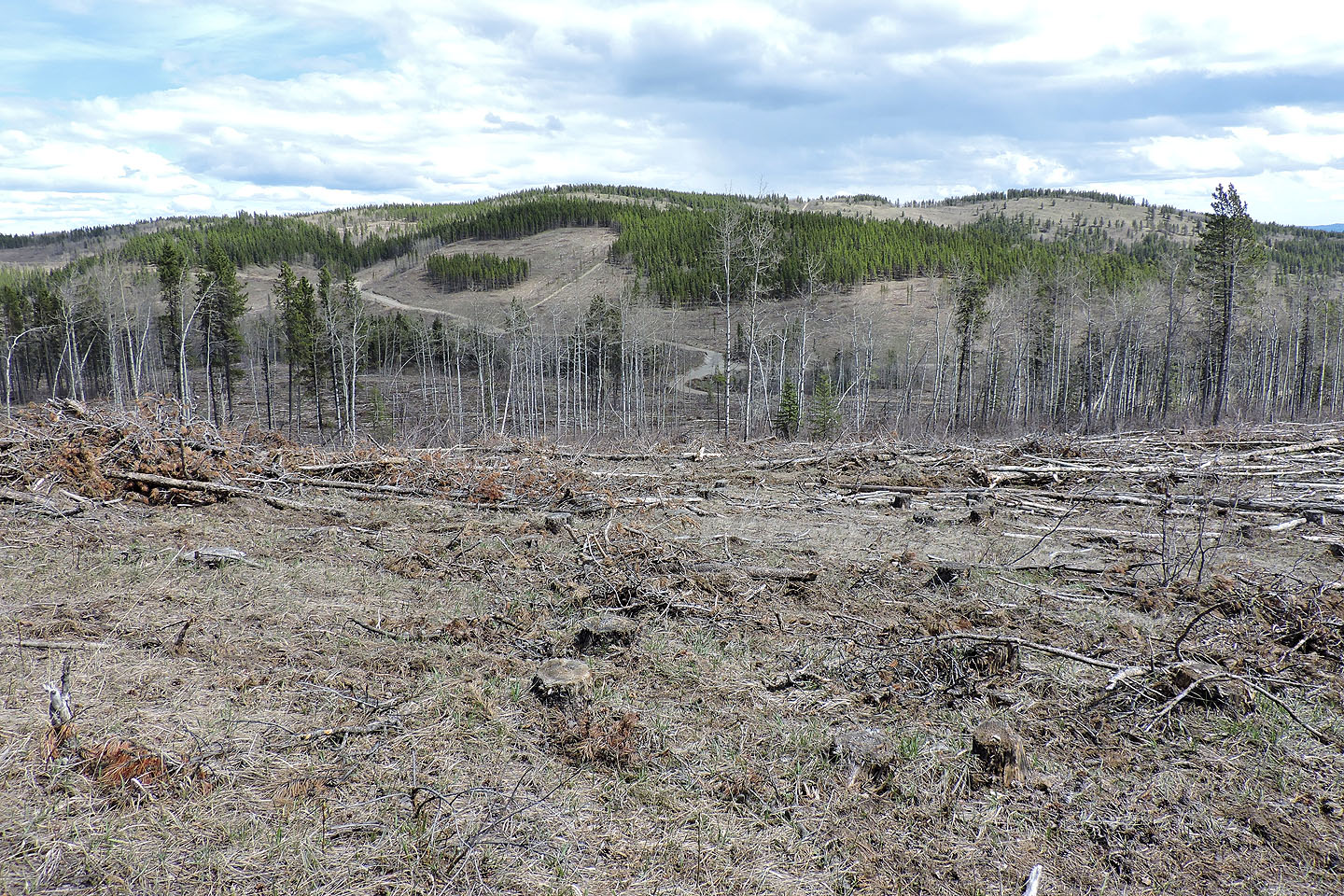
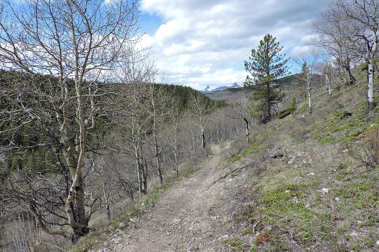
The summit sits on the edge of a clearcut
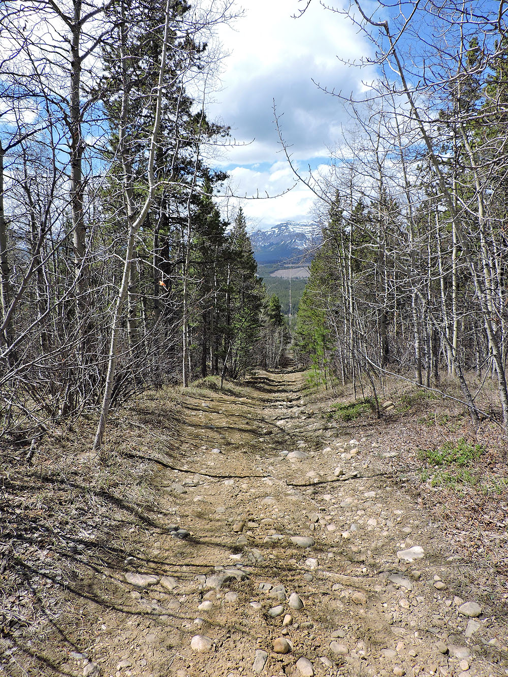
The route continues down a cutline
Just before the cutline hits Lesueur Creek, the route turns left onto a road (turn right to go to Hill 385838)
The road soon turns right and drops down to the creek, but a single track continues ahead
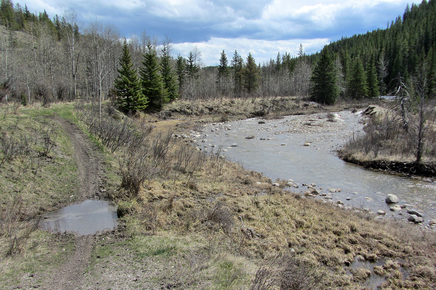
The trail briefly runs alongside Lesueur Creek
And then it climbs well above the creek. Behind are Devils Head and Black Rock Mountain.
The final stretch leads back to the fork that I passed near the start
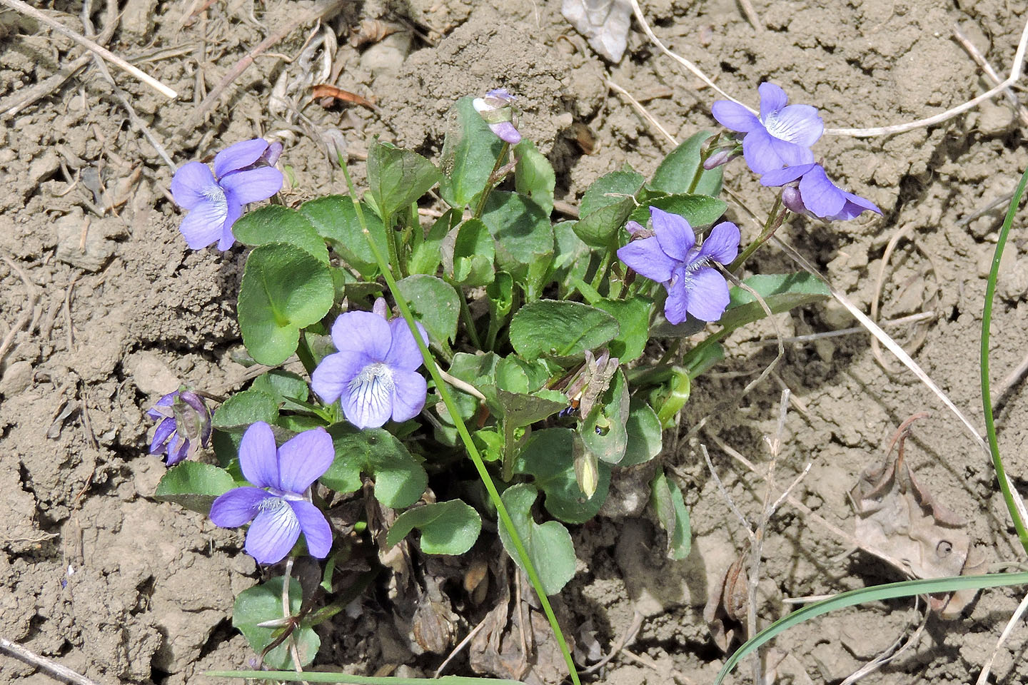
A few flowers, like these early blue violets, appeared on the slopes
82 O/7 Wildcat Hills, 82 O/6 Lake Minnewanka