bobspirko.ca | Home | Canada Trips | US Trips | Hiking | Snowshoeing | MAP | About
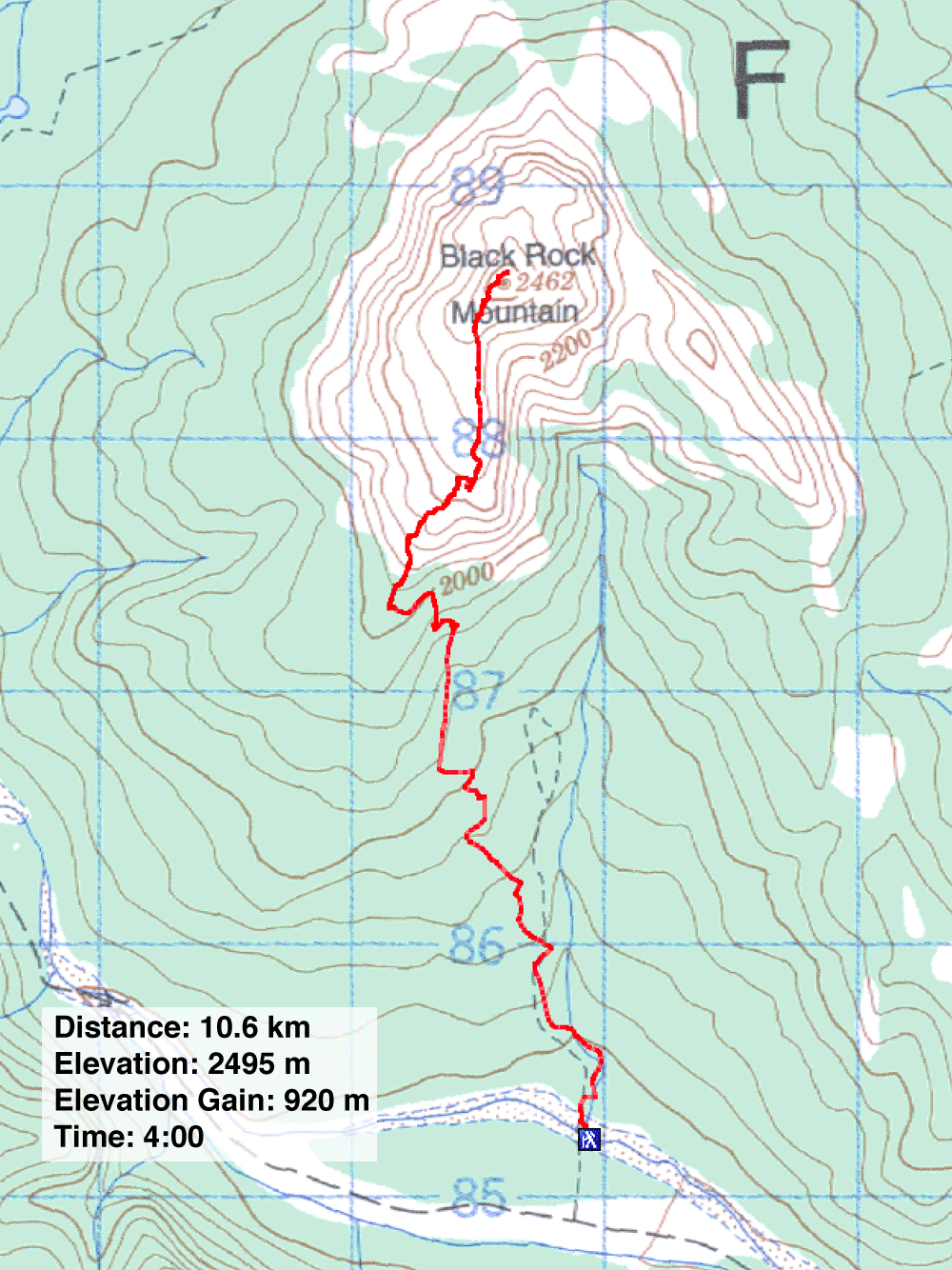
Black Rock Mountain
Kananaskis, Alberta
January 18, 2003
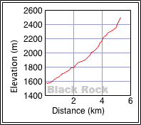
Distance: 10.8 km (6.7 mi)
Cumulative Elevation Gain: 920 m (3018 ft)
The hike up Black Rock Mountain was more interesting than I expected, enjoyable with changing scenery throughout. After crossing a frozen creek at the start, Wayne, Dinah and I followed a good trail all the way to the summit. On the way down, we left the trail to explore some cliffs below the plateau. The only difficulty for this trip was getting to the trailhead. A 4WD vehicle is a must!
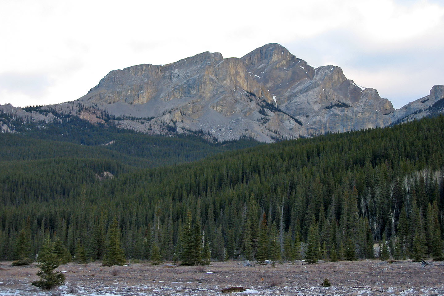
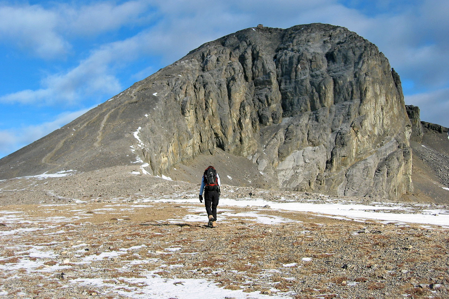
Black Rock Mountain seen from the trailhead
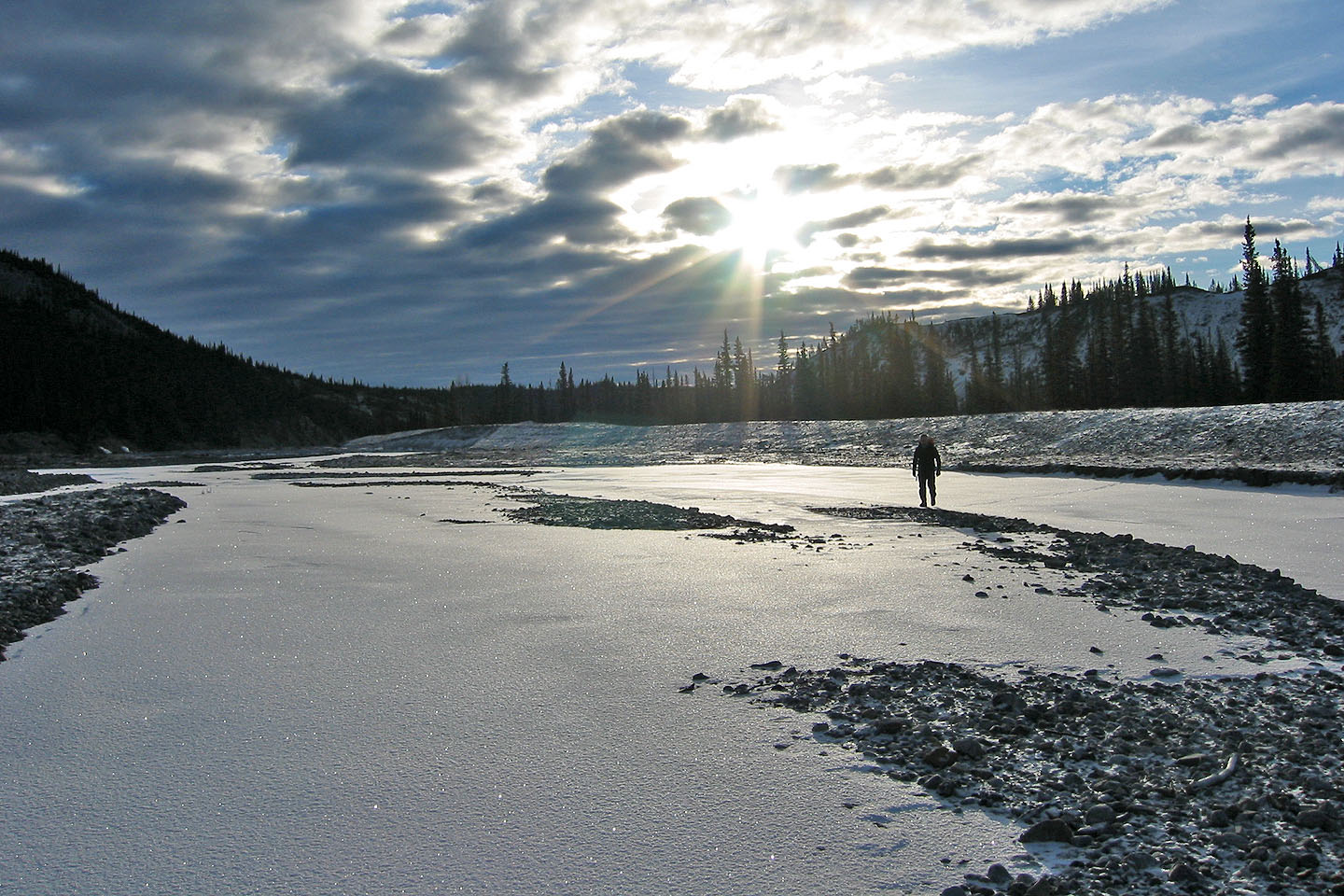
Crossing the creek at the start
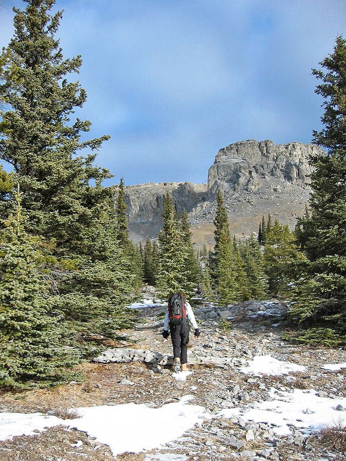
Heading to the base of the mountain
The trail turns left above us
The trail then swings right
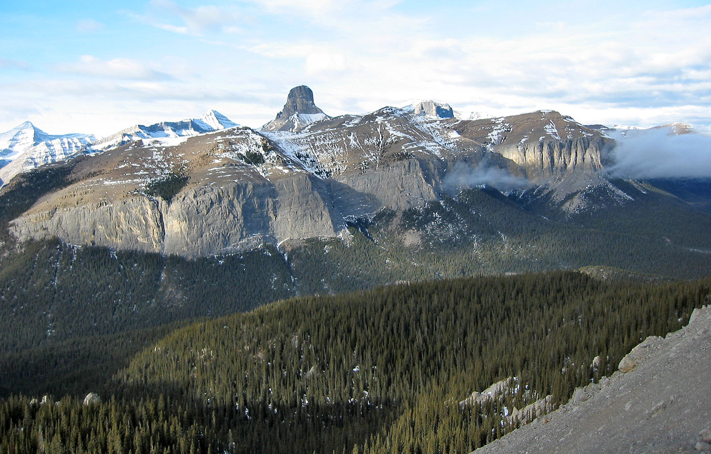
Devils Head (mouse over for a close-up)
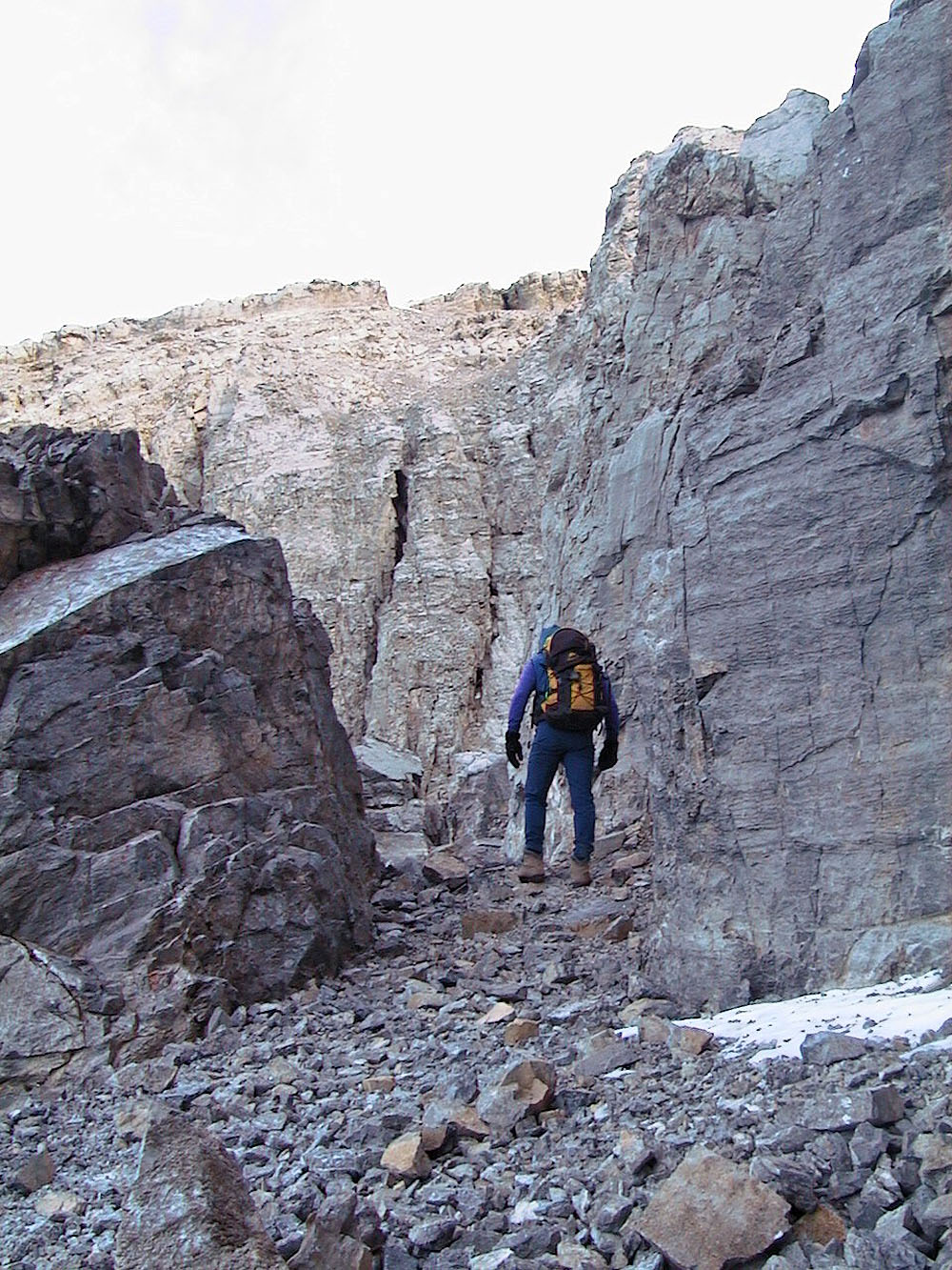
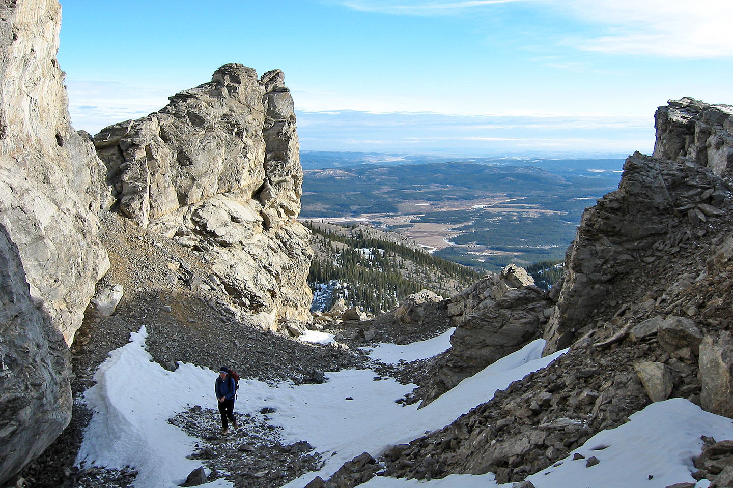
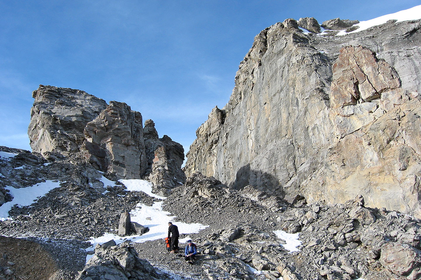
Going up a short canyon
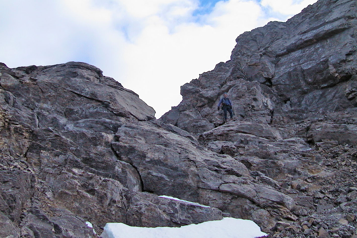
Near the top of the canyon
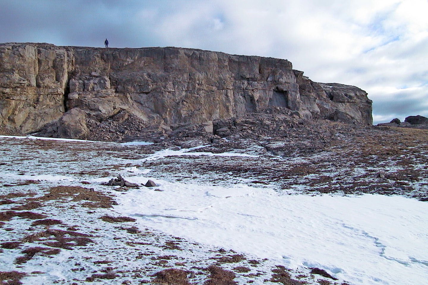
I waited for Dinah and Wayne on the plateau
Dinah is on her way to the plateau
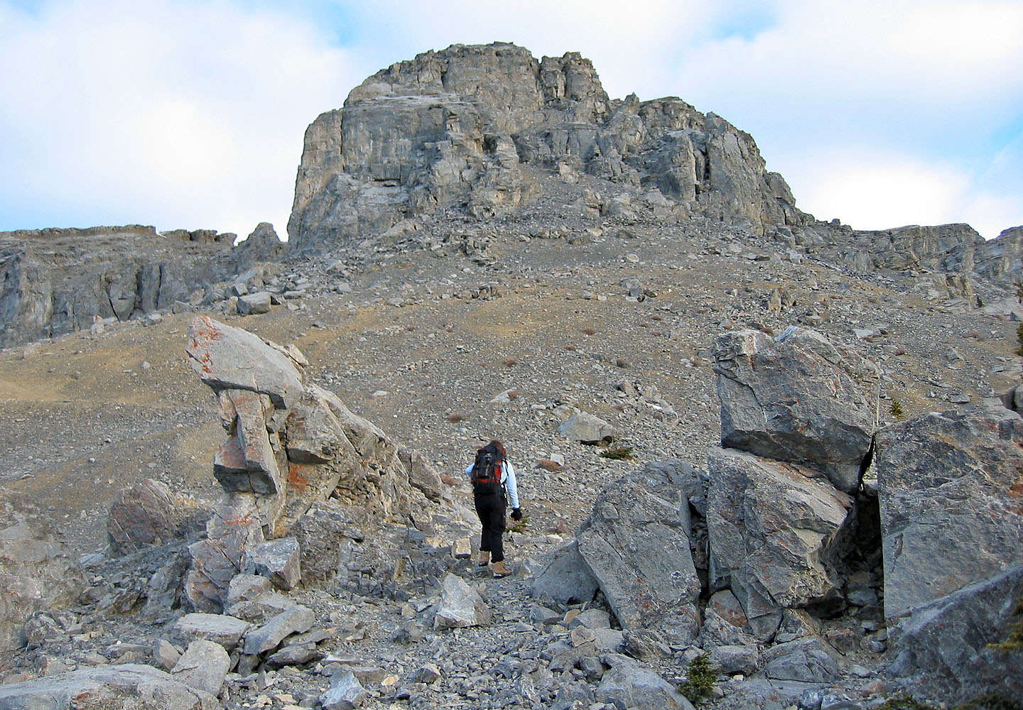
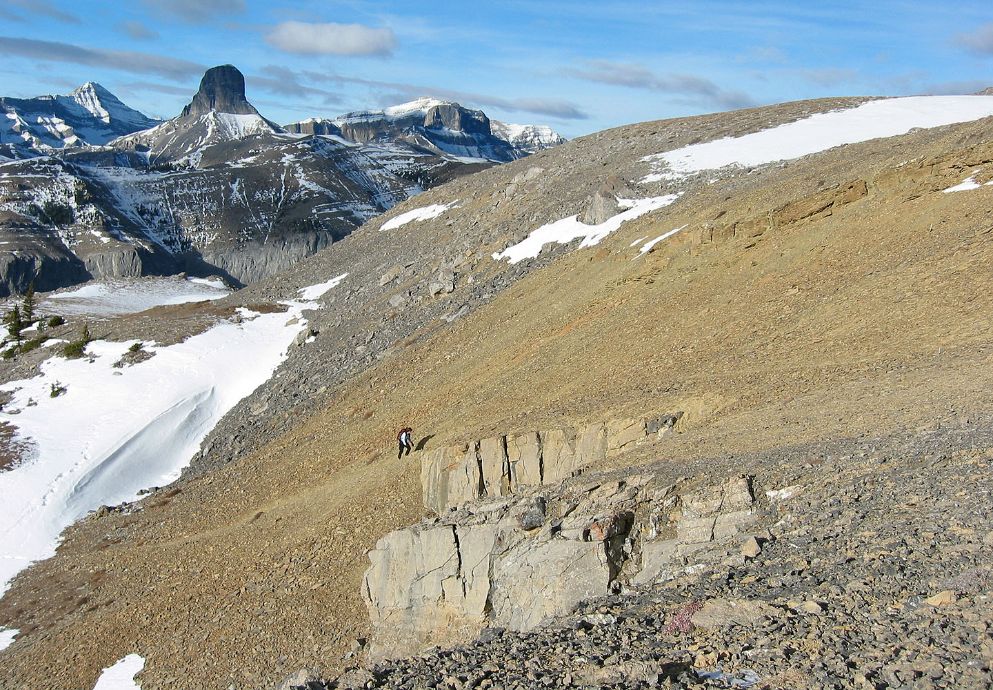
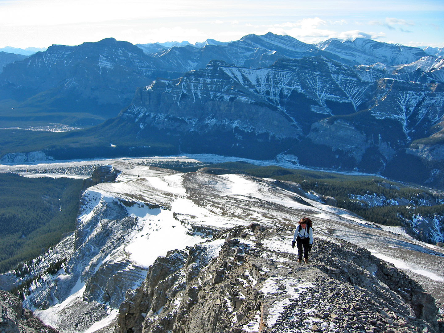
The summit is still some distant away from the plateau
Looking southwest as we approached the summit. Phantom Craig appears in the middle.
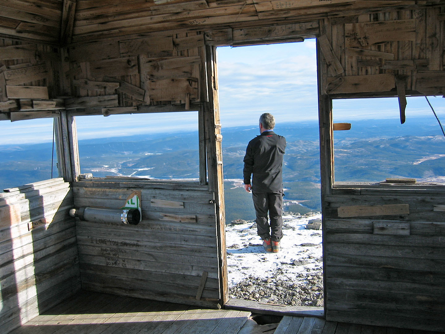
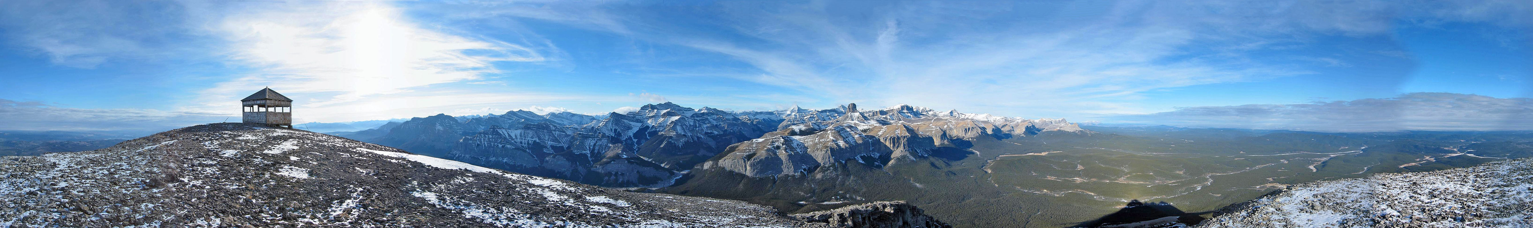
The lookout was built in 1928 and is no longer in use
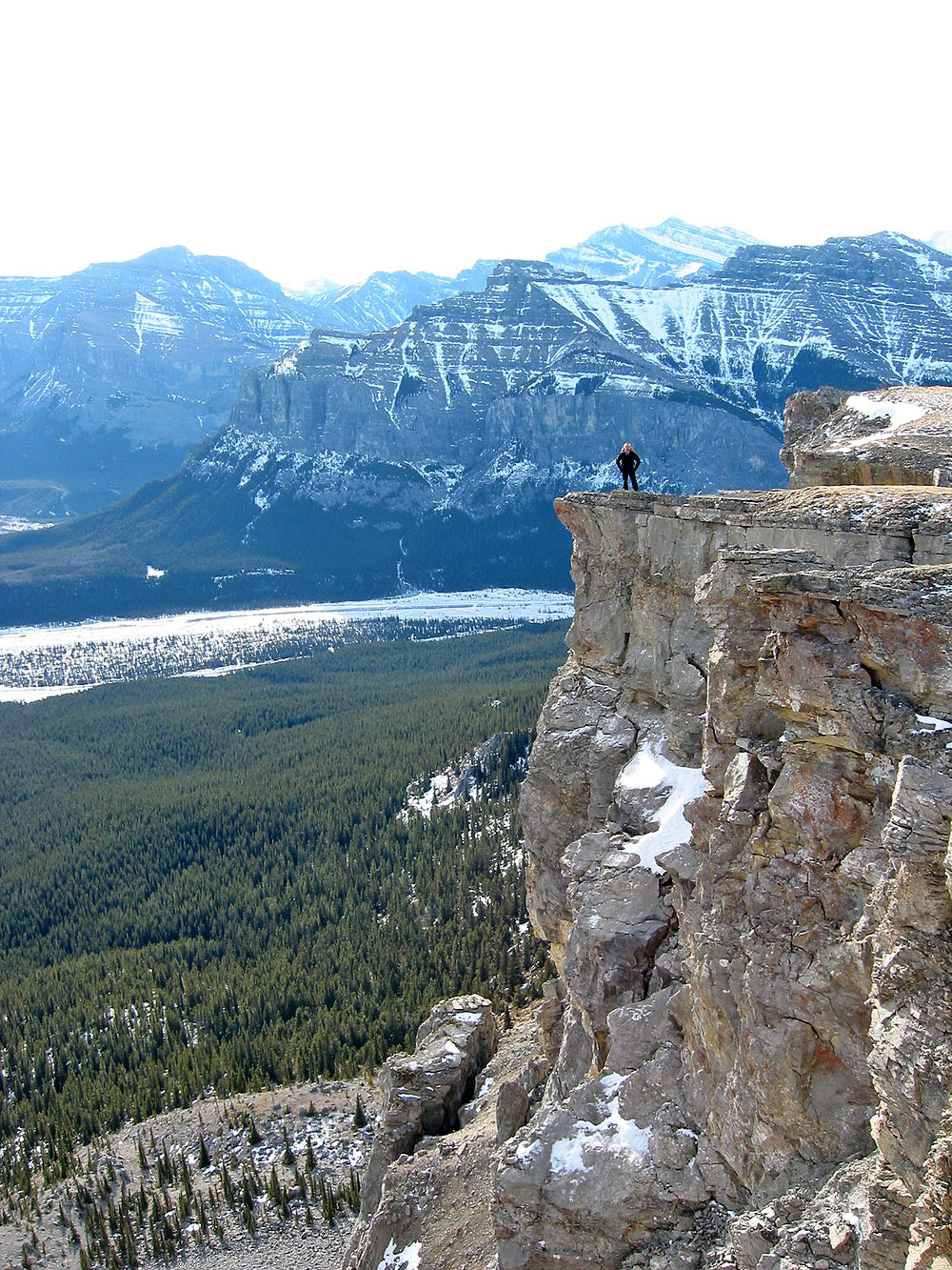
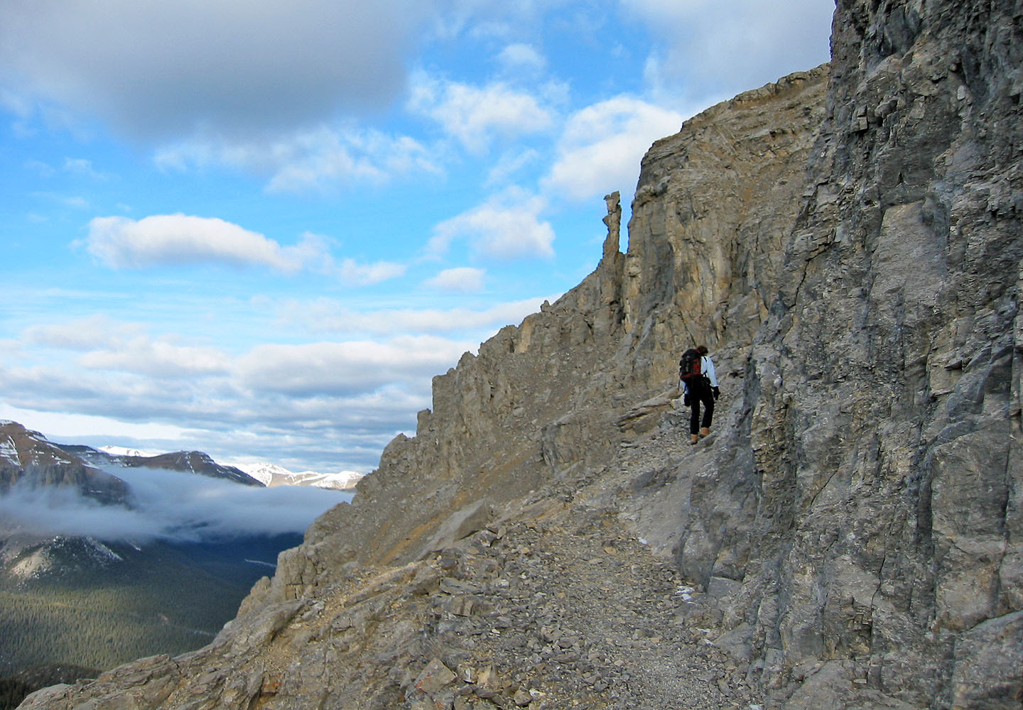
Wayne stands on the edge of a precipice
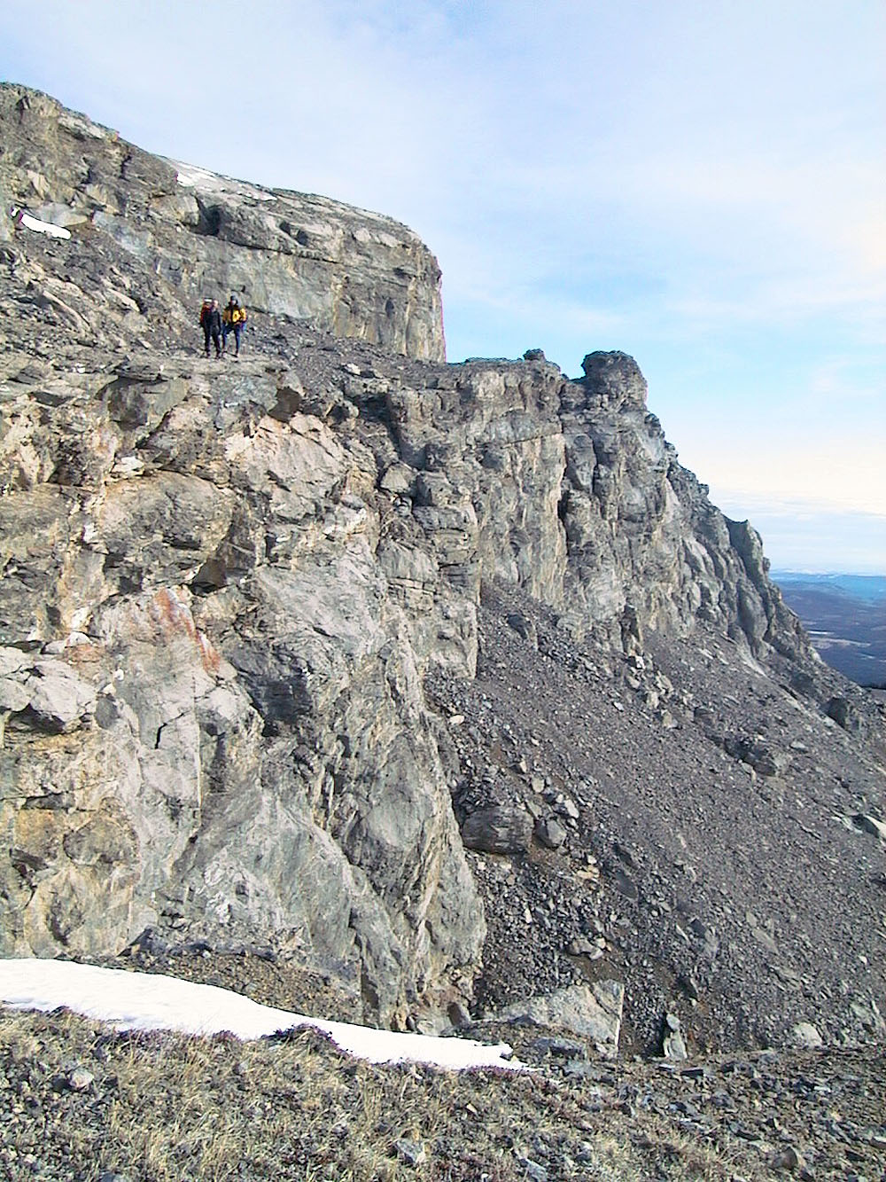
We left the trail and went to the end of the rock wall behind us to explore
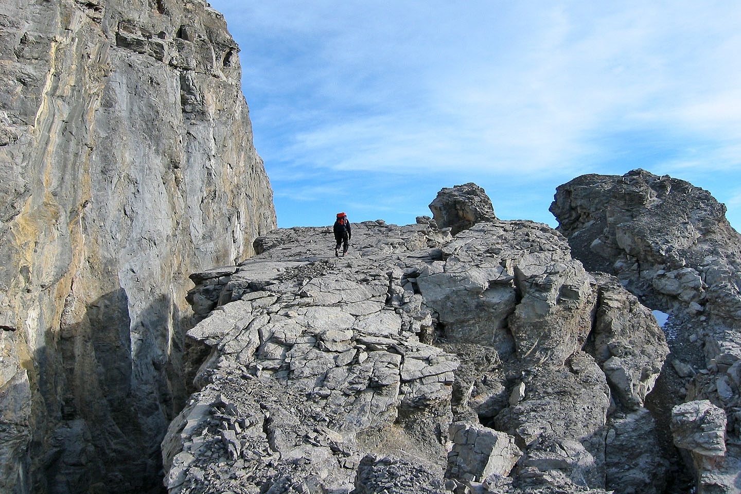
At the end of the rock wall
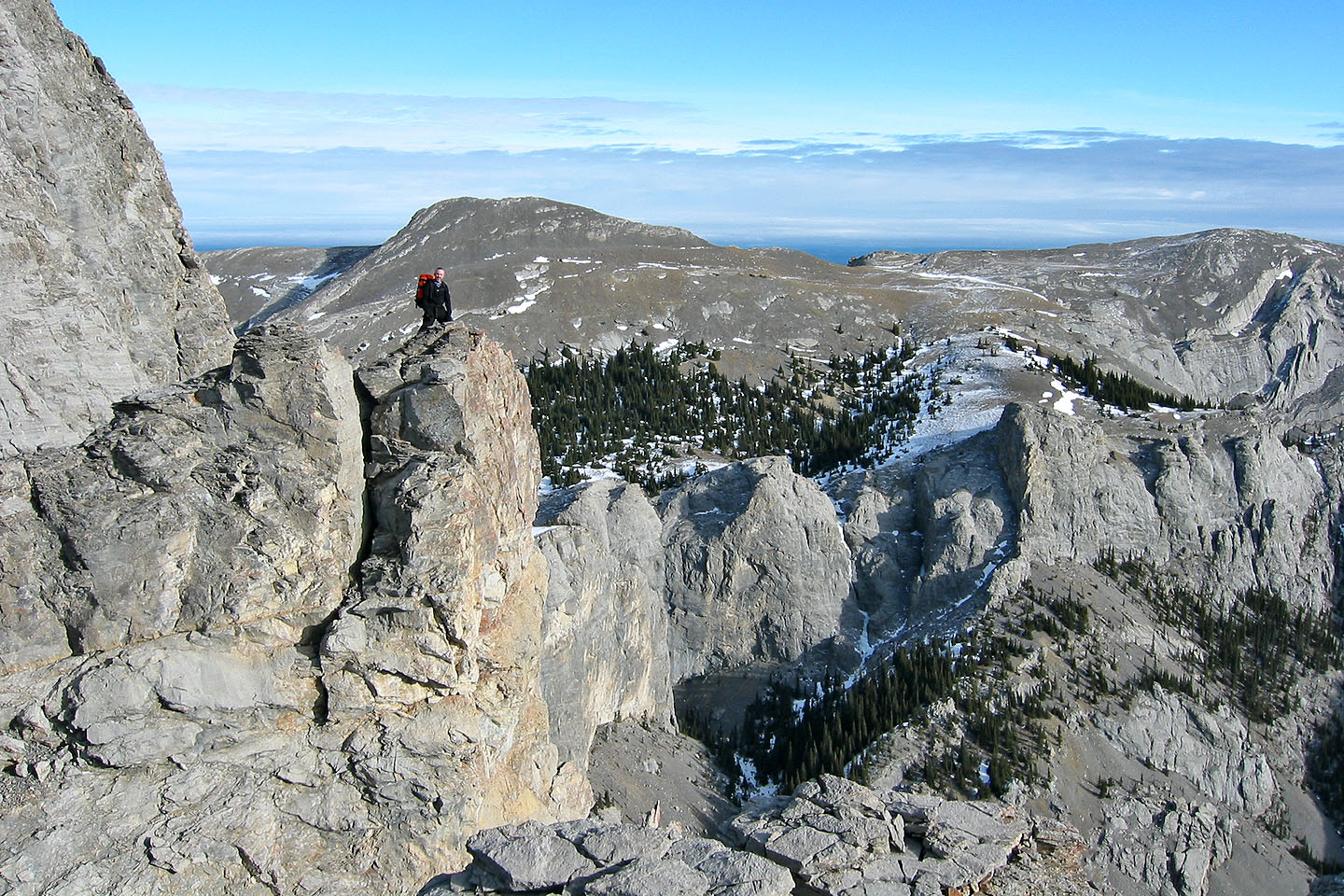
Looking east at the southeast ridge
Lesueur Ridge lies in the background
Taking a break
82 O/6 Lake Minnewanka