bobspirko.ca | Home | Canada Trips | US Trips | Hiking | Snowshoeing | MAP | About
Muffet’s Hill
Kananaskis, Alberta
January 31, 2026
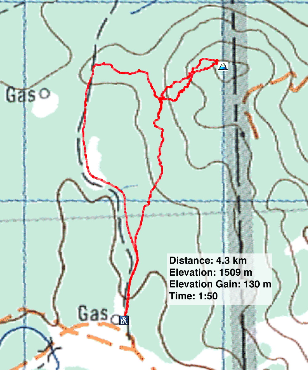
Distance: 4.3 km (2.7 mi)
Cumulative Elevation Gain: 136 m (446 ft)
At the end of a series of hills named after nursery rhymes is an unnamed hillock. Sonny called it Little Miss Muffet’s Tuffet, but in keeping with the simple names of the other hills – Hickory, Humpty's, Jack’s, and Jill’s – I shortened it to Muffet’s Hill. What made this hike interesting was a loop using Mesa Back Door Trail, which doesn’t appear on any maps.
After parking at a gate, I walked up the well road. On an open rise 1.4 km from the gate, I turned onto Mesa Back Door Trail, which headed to the foot of Muffet’s Hill. The trail soon turned south and entered the forest. The trail climbs, but before it descended, I exited. I bushwhacked easily up the wooded slope and crossed a couple of glades. I kept left, knowing I would hit a cutblock that led to the summit. Muffet’s top is partially ringed with trees, but I had a fine view of Mesa Butte and Jack’s Hill. After looking around, I descended and returned to the trail.
I continued south down the trail and passed a clearing with a view of Mesa Butte before re-entering the woods. Due to snow, the trail was difficult to follow in places, but flagging and footprints in the snow helped keep me on track. The trail exits the forest and crosses an immense meadow. At the end of the meadow, it merges with the well road 350 m from the gate. Muffet’s Hill is a nice, brief hike, but a longer trip could be made by adding Jack’s Hill.
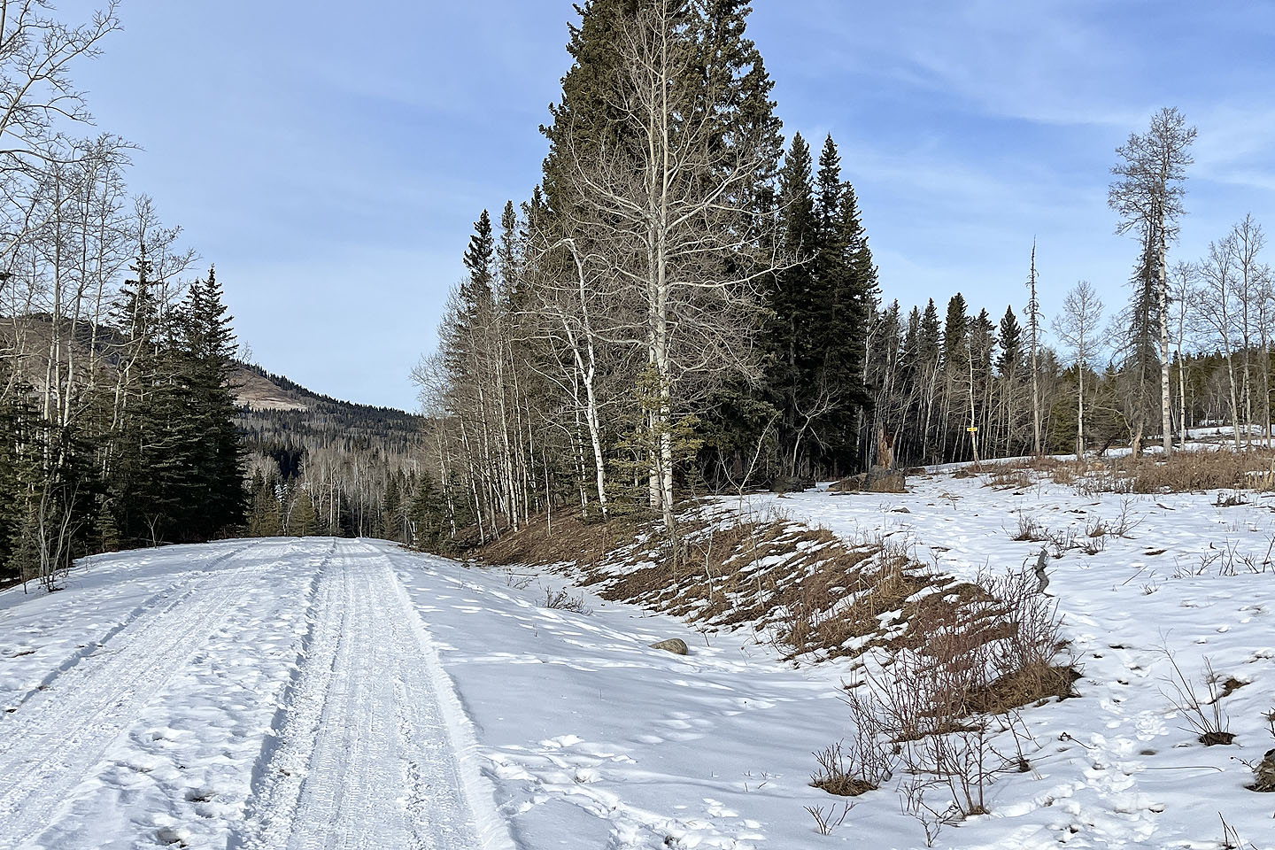
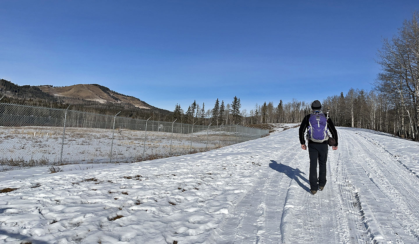 Starting up the well road. Mesa Butte appears left.
 I kept right at this fork where Jack's Hill appears
ahead
I kept right at this fork where Jack's Hill appears
ahead
 I started up Mesa Back Door here
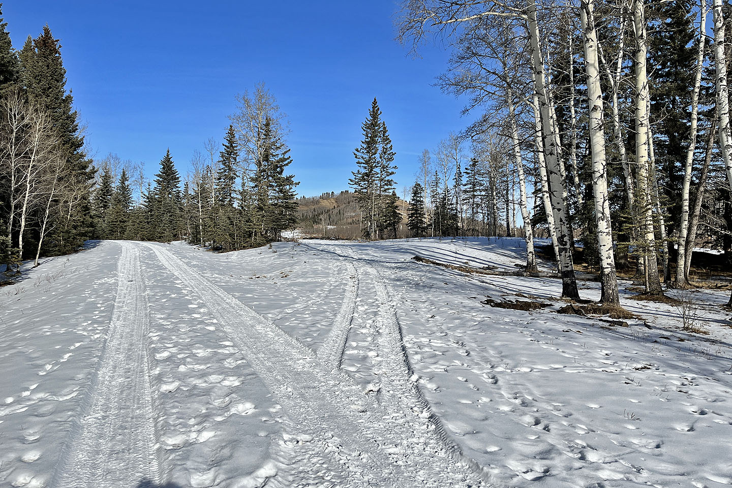
 The trail runs to the forest edge and turns right
The trail is well-defined and included flagging
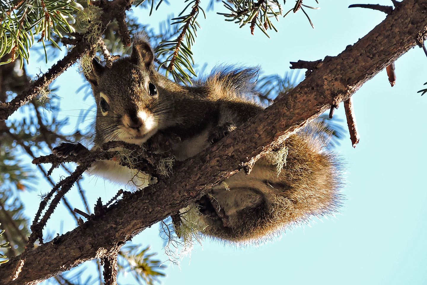 A squirrel studied me from the safety of a branch high above me
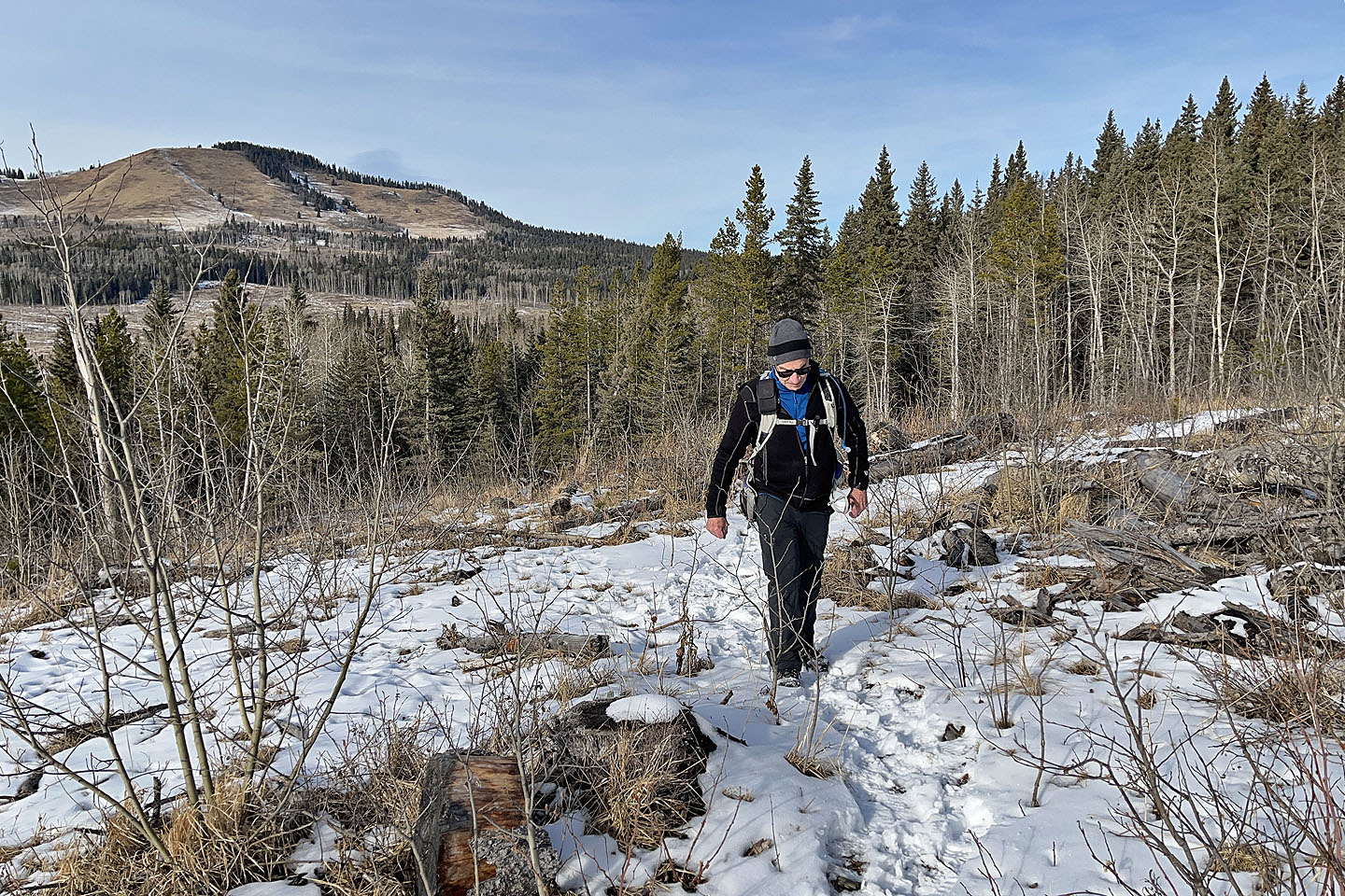
 I left the trail and started up the wooded slope
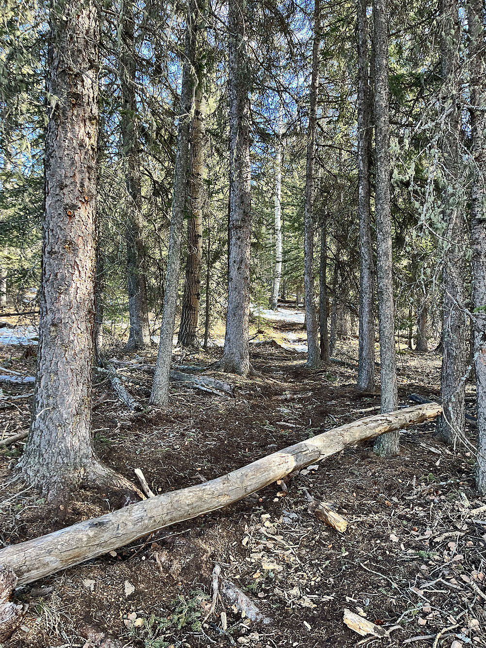
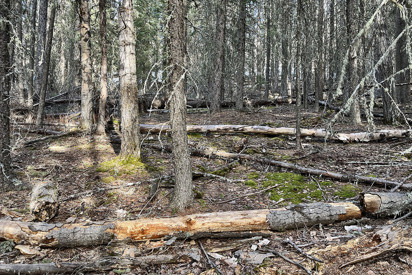 I encountered deadfall which I easily stepped over
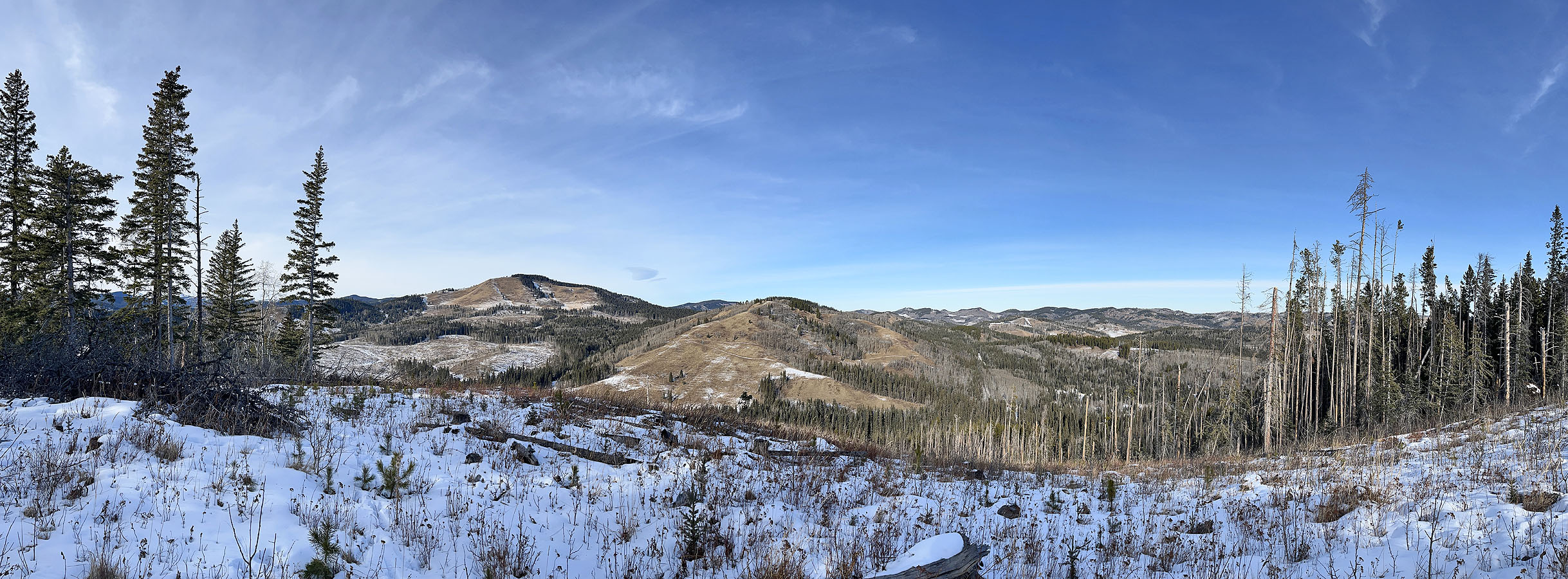
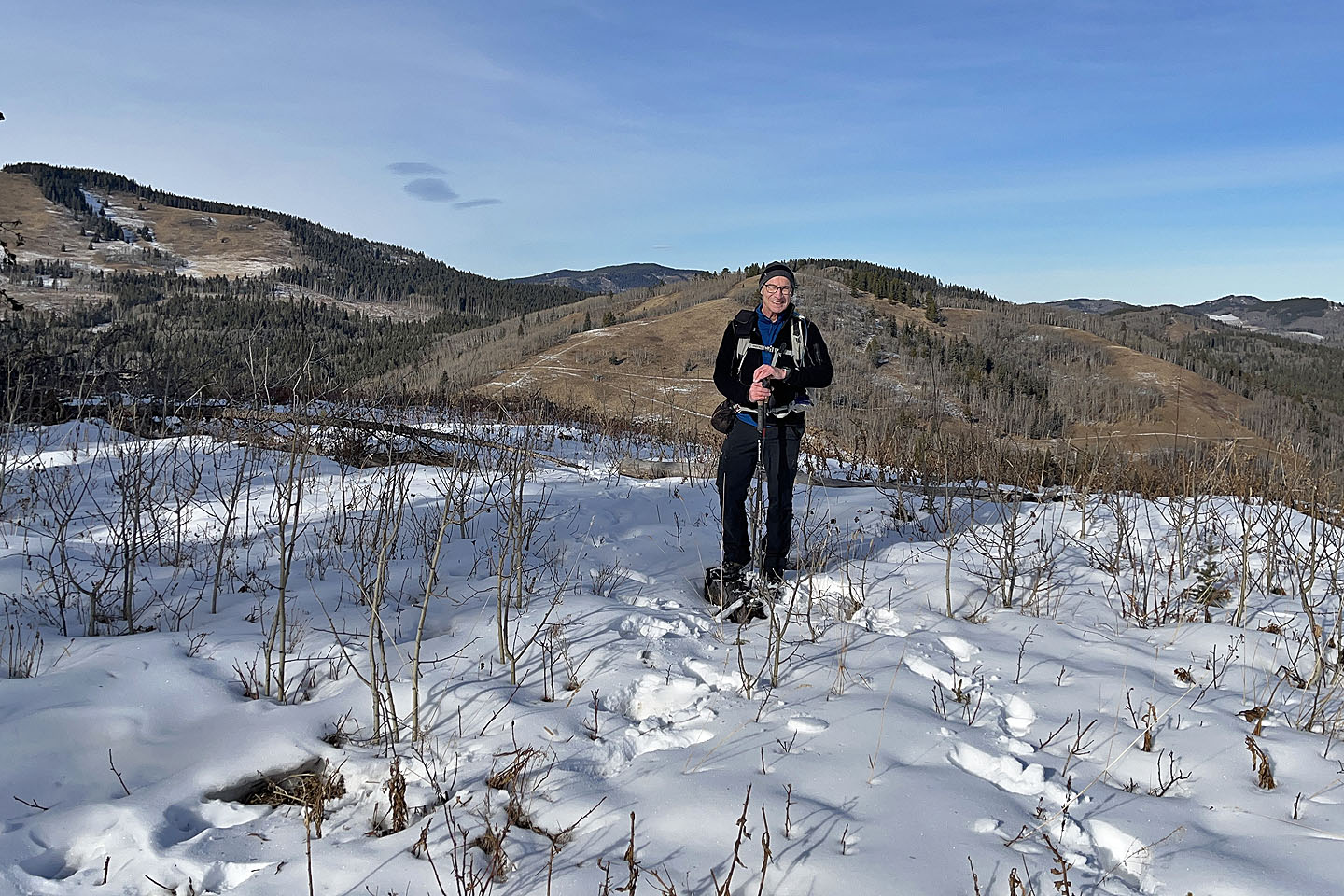 On the summit
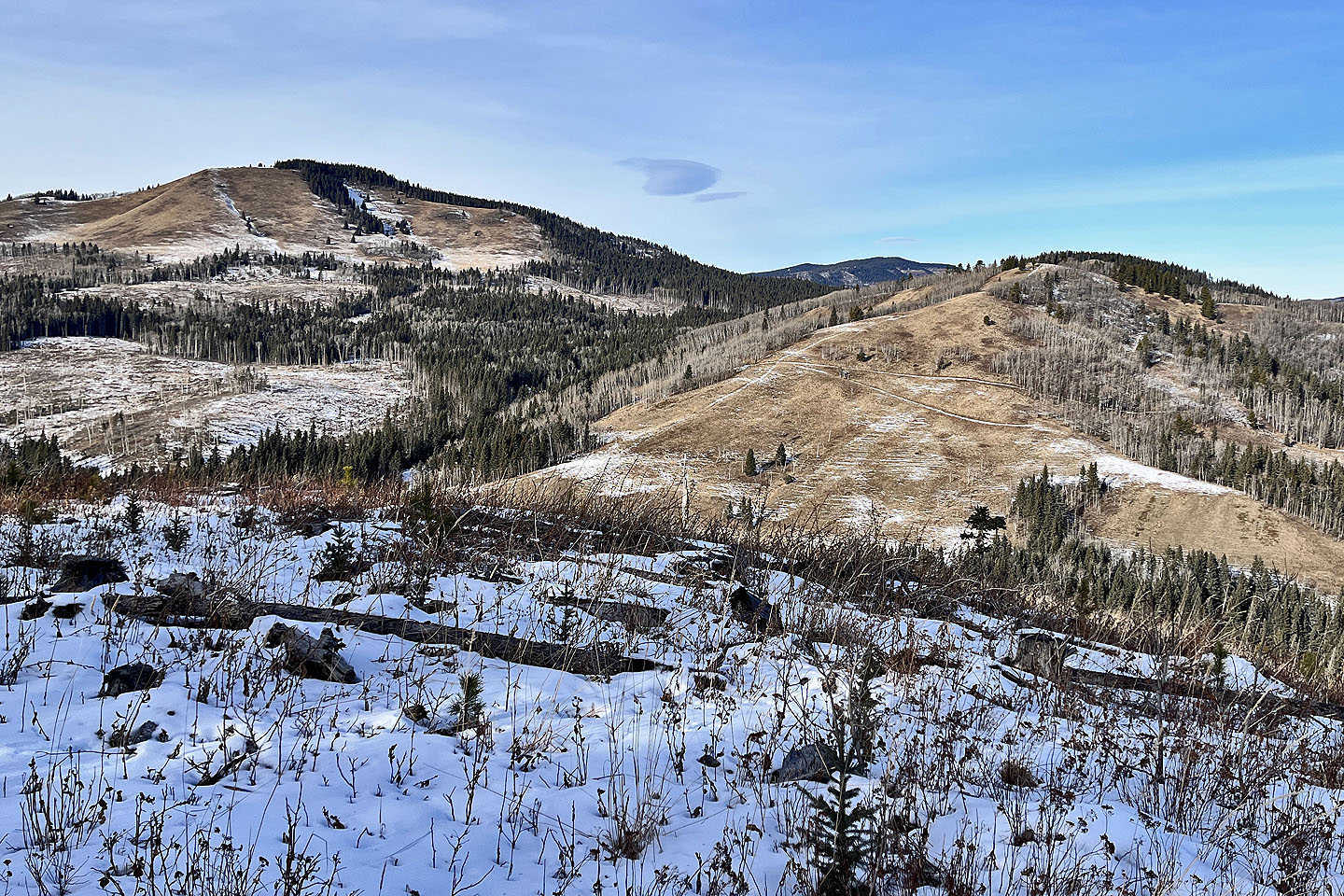 Mesa Butte and Jack's Hill
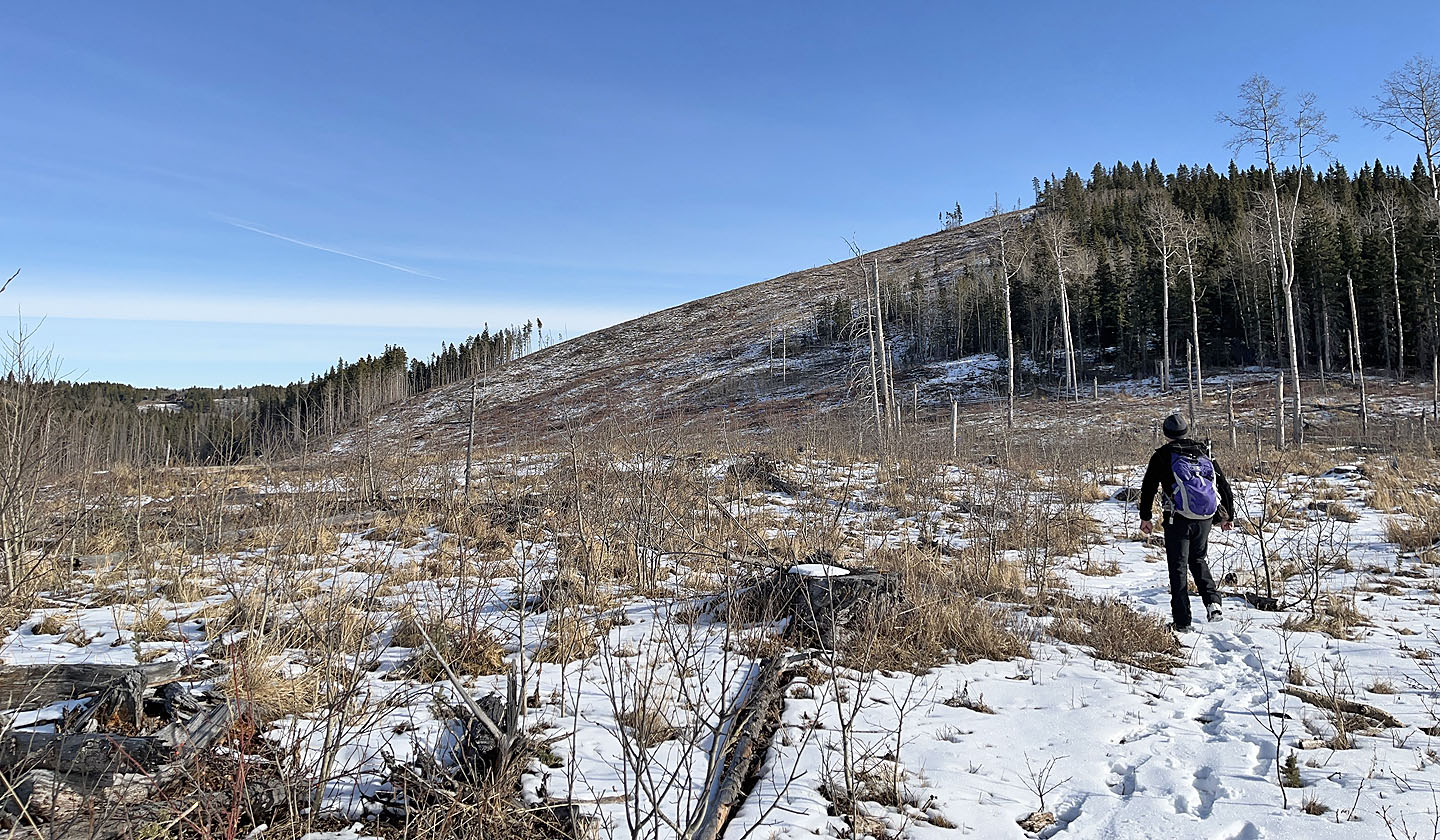
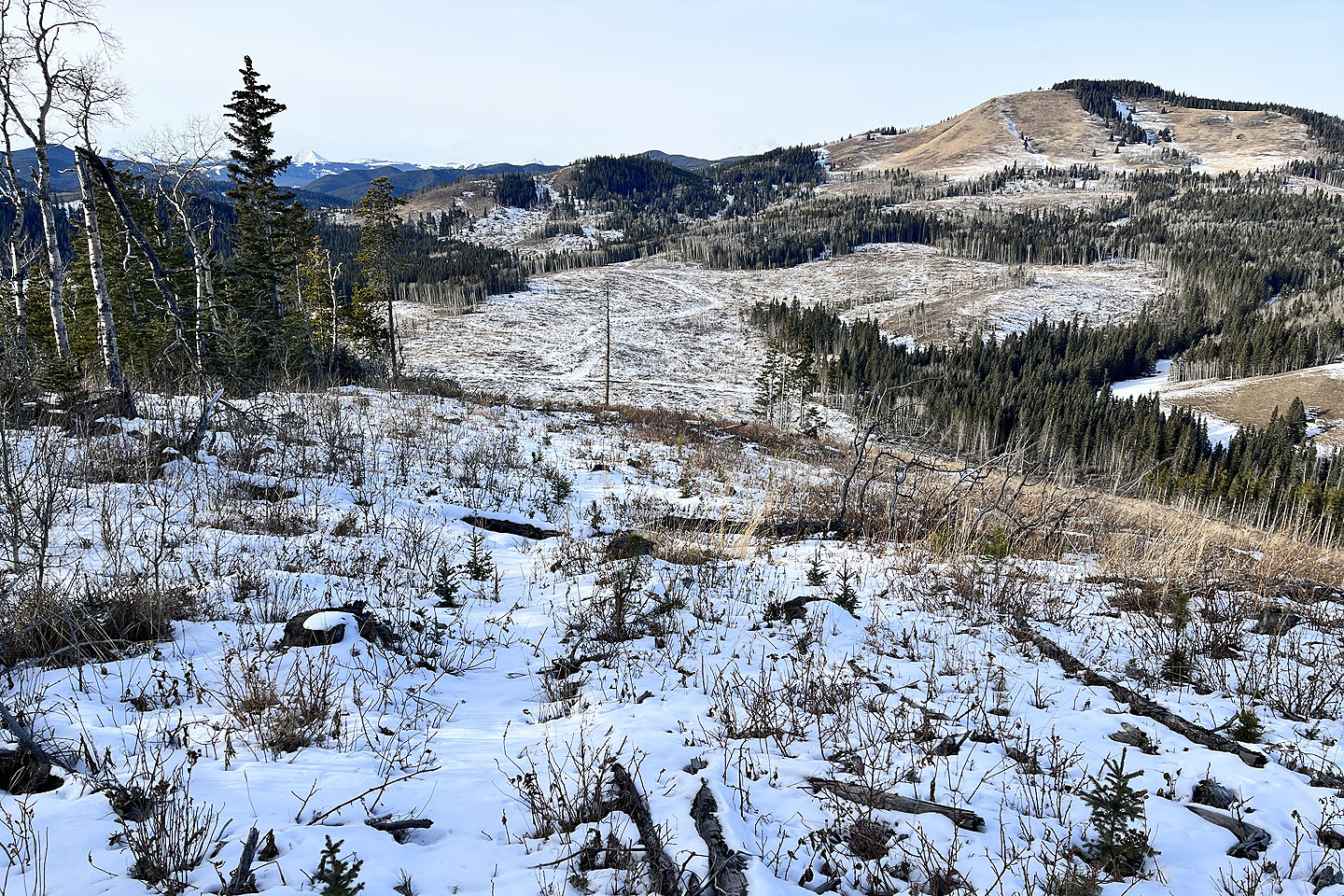 It looked feasible to follow the cutblock down to the
well road, but I turned into the forest, back to the trail. Curley Sands and Mesa Butte in the background.
It looked feasible to follow the cutblock down to the
well road, but I turned into the forest, back to the trail. Curley Sands and Mesa Butte in the background.
 Back on the trail, crossing a clearing
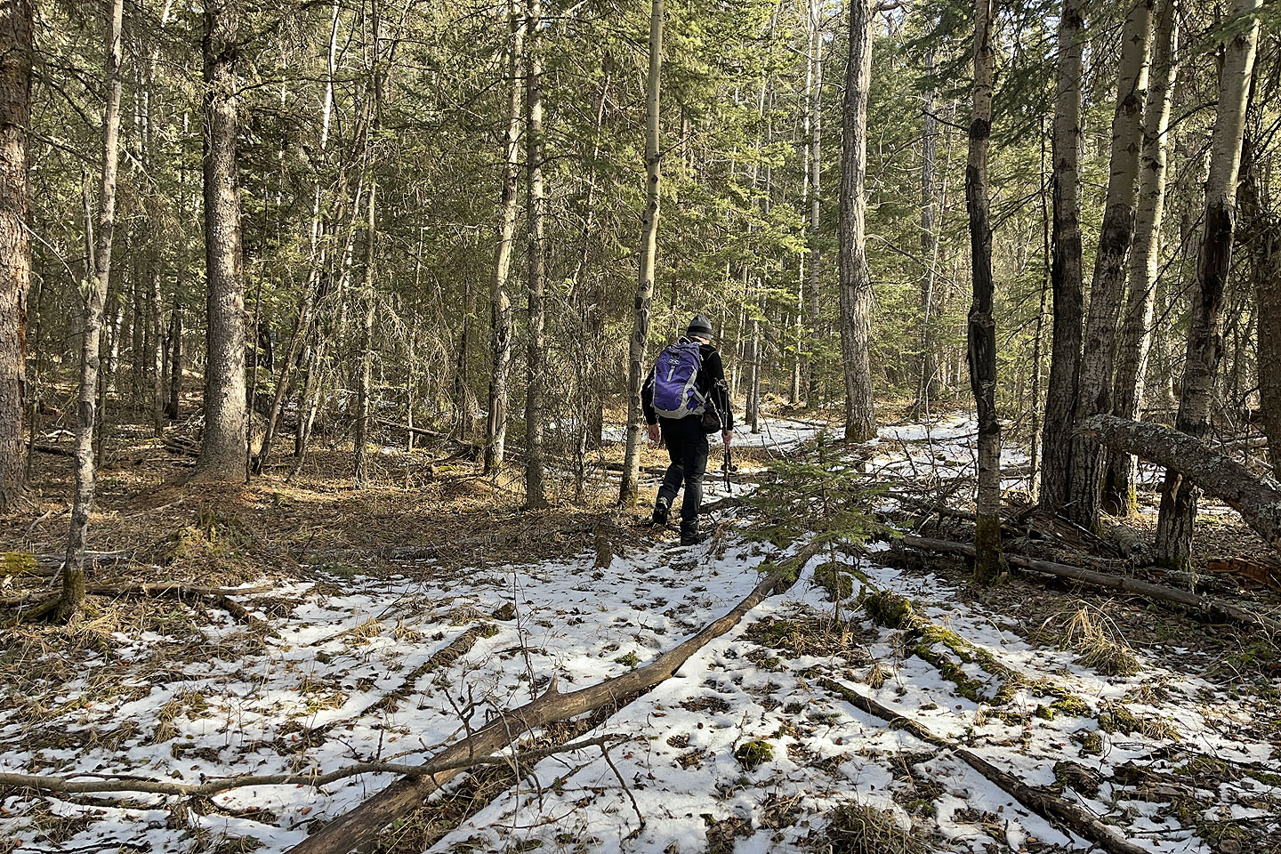
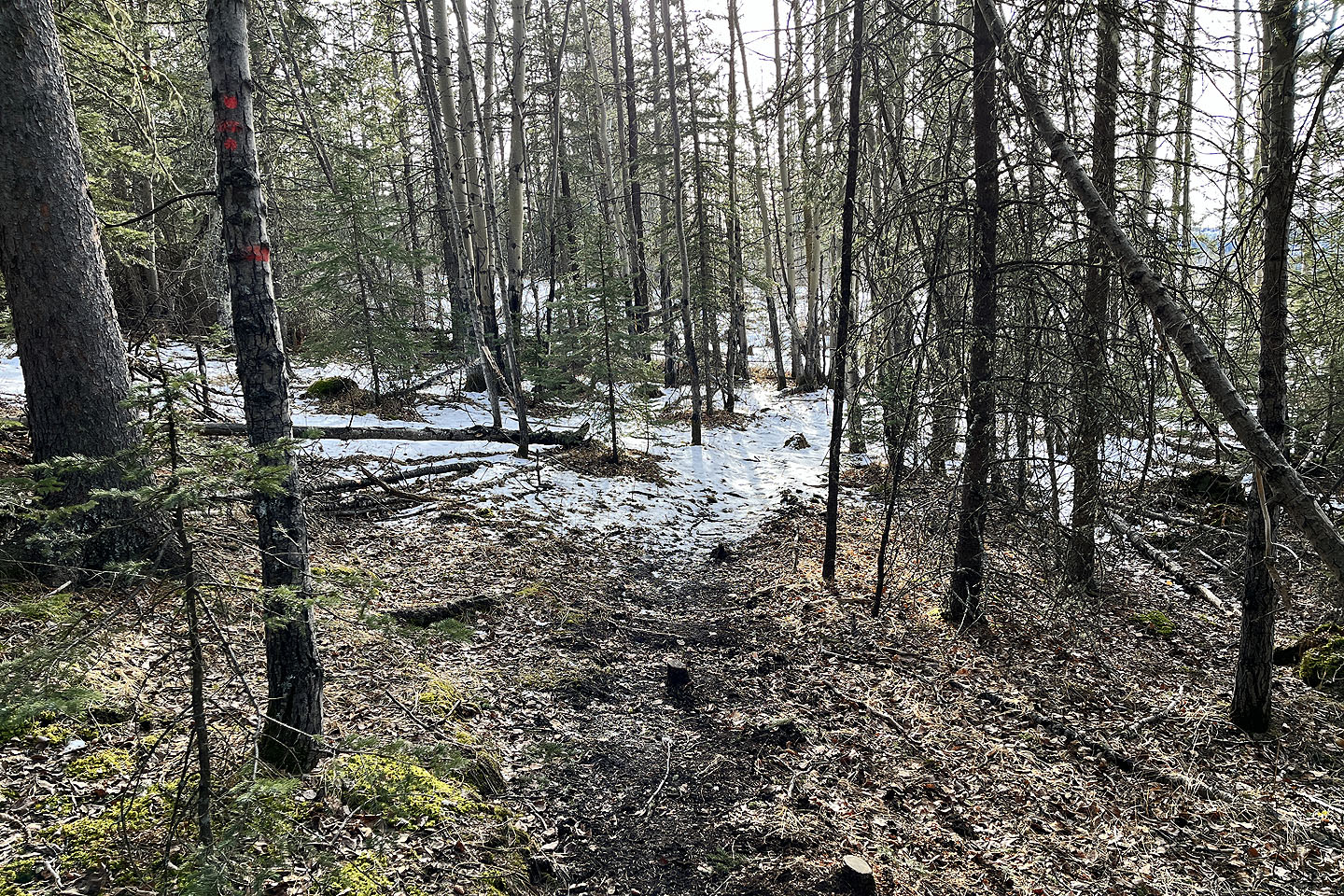 The trail continues through the trees
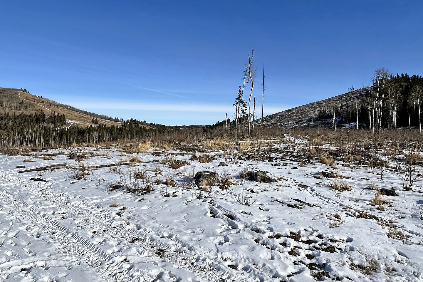
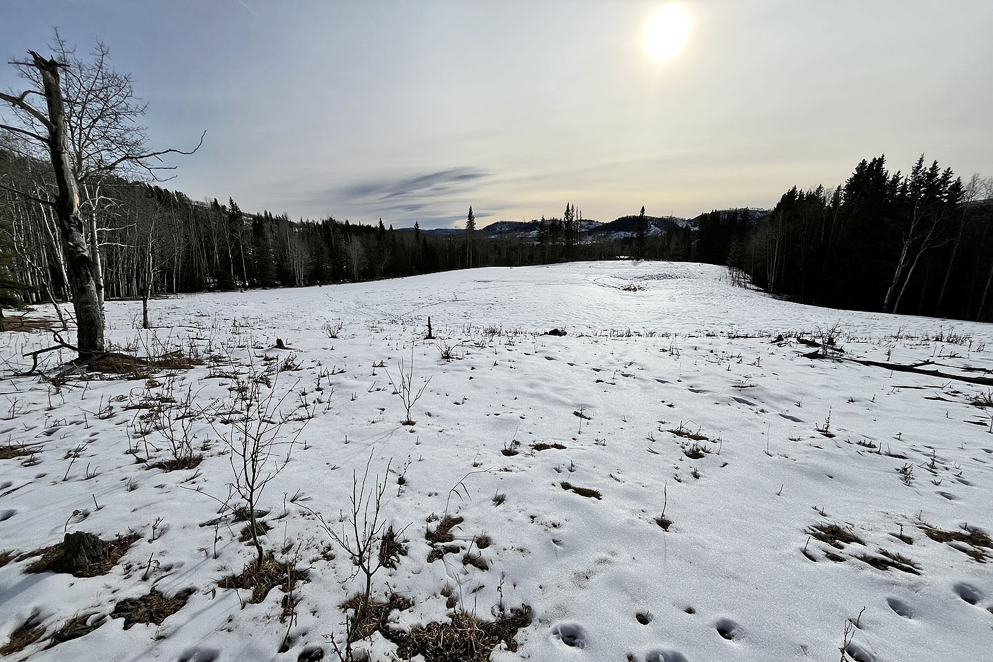 There didn't appear to be a path in this meadow, but
I picked up the trail at the far end
There didn't appear to be a path in this meadow, but
I picked up the trail at the far end
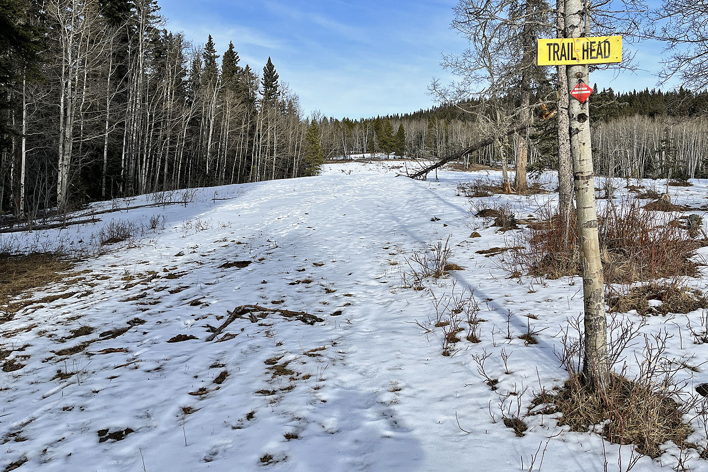 Looking back at the meadow from the trailhead. The red diamond says: Mesa Back Door, 4.7 km to Mesa Butte summit.
 From the well road, 350 m from the gate, the yellow
trailhead sign is visible on the right.
From the well road, 350 m from the gate, the yellow
trailhead sign is visible on the right.
82 J/15 Bragg Creek