bobspirko.ca | Home | Canada Trips | US Trips | Hiking | Snowshoeing | MAP | About

Jack’s Hill and Jill’s Hill
Kananaskis, Alberta
September 16, 2020
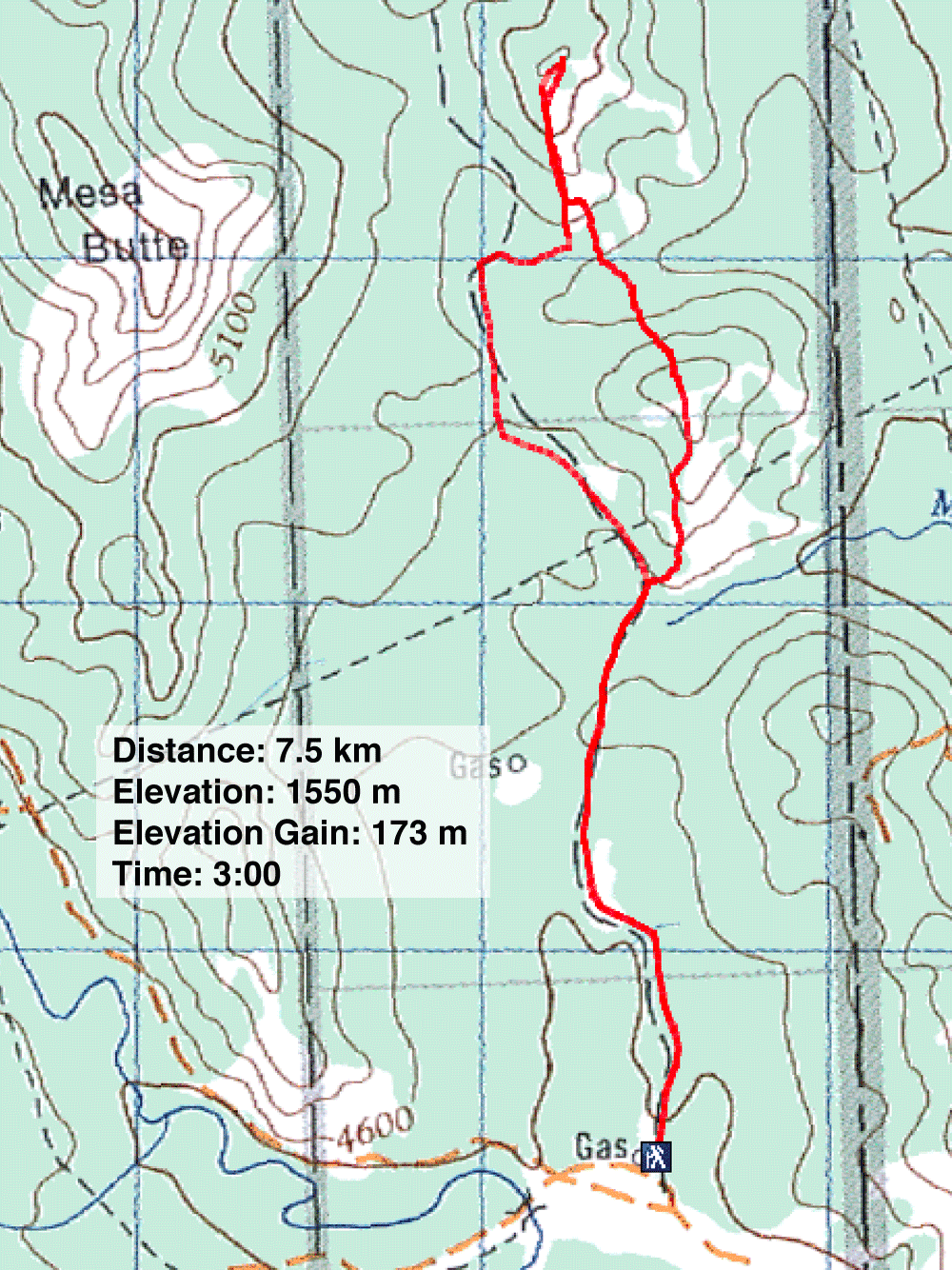
Distance: 7.5 km (4.7 mi)
Cumulative Elevation Gain: 305 m (1001 ft)
Jack's Hill and Jill's Hill – names that appeared to be pulled from a nursery rhyme – can be lumped together for a quick hike. A well road provides an approach, while south grassy slopes offer easy ascents. Dinah and I went up the hills, not to fetch water, for there was none, but simply to reach the hilltops.
Although lined with trees, the well road was in the process of changing: loggers were ravaging the landscape. As we started up the road, the clamour of machines filled the air. The noise faded as we continued up the road and 2 km after starting, at the base of Jack's Hill, we found tranquillity. We left the road and started pushing through the tall grass on the hillside.
On a clear day, the views of the low hills behind us would be uninspiring, but today, the scenery was especially dreary as smoke from U.S. wildfires reduced the hills to shadows. With nothing to see, we hardly paused on the crown of Jack's Hill and forged ahead, down a wooded slope.
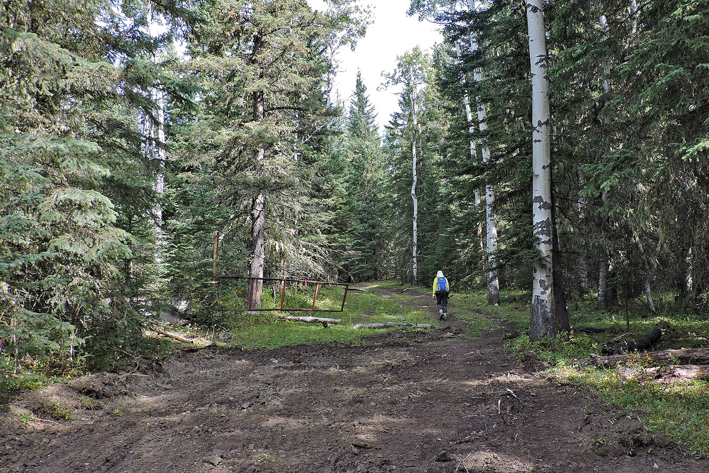
When we reached the bottom of the hill, we were still in trees when we crossed a broad trail. This trail, I realized, would lead us back to the road.
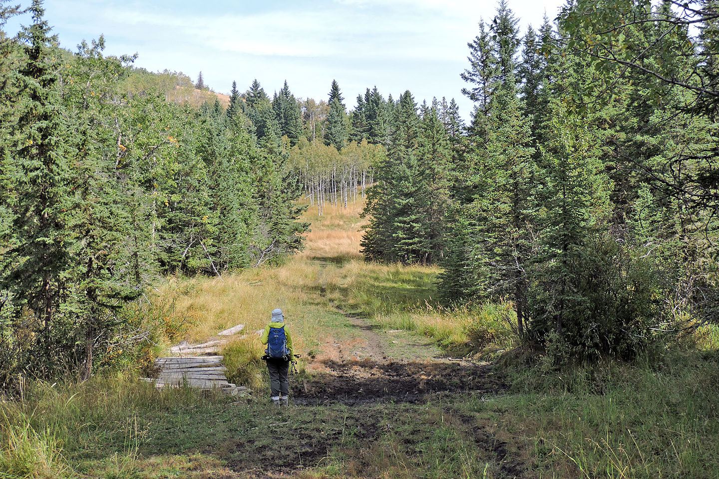
The hike up Jill's Hill was a repeat of Jack's Hill, up a grassy swath. Although Jill is higher than Jack, encroaching trees permit fewer views. We soon turned around and headed back down. At the bottom of the meadow, we only had to cross 50 m of forest to reach the trail we had seen earlier. We followed it back to the road.
Going down the road, we faced the nastiest part of our trip. We had to wend our way through numerous cow pies while following cows fleeing ahead of us. Eventually, the herd left the road, and we breathed a sigh of relief, not to mention fresh air. Notwithstanding cows and logging, we thought Jack's Hill and Jill's Hill were a pleasant diversion.
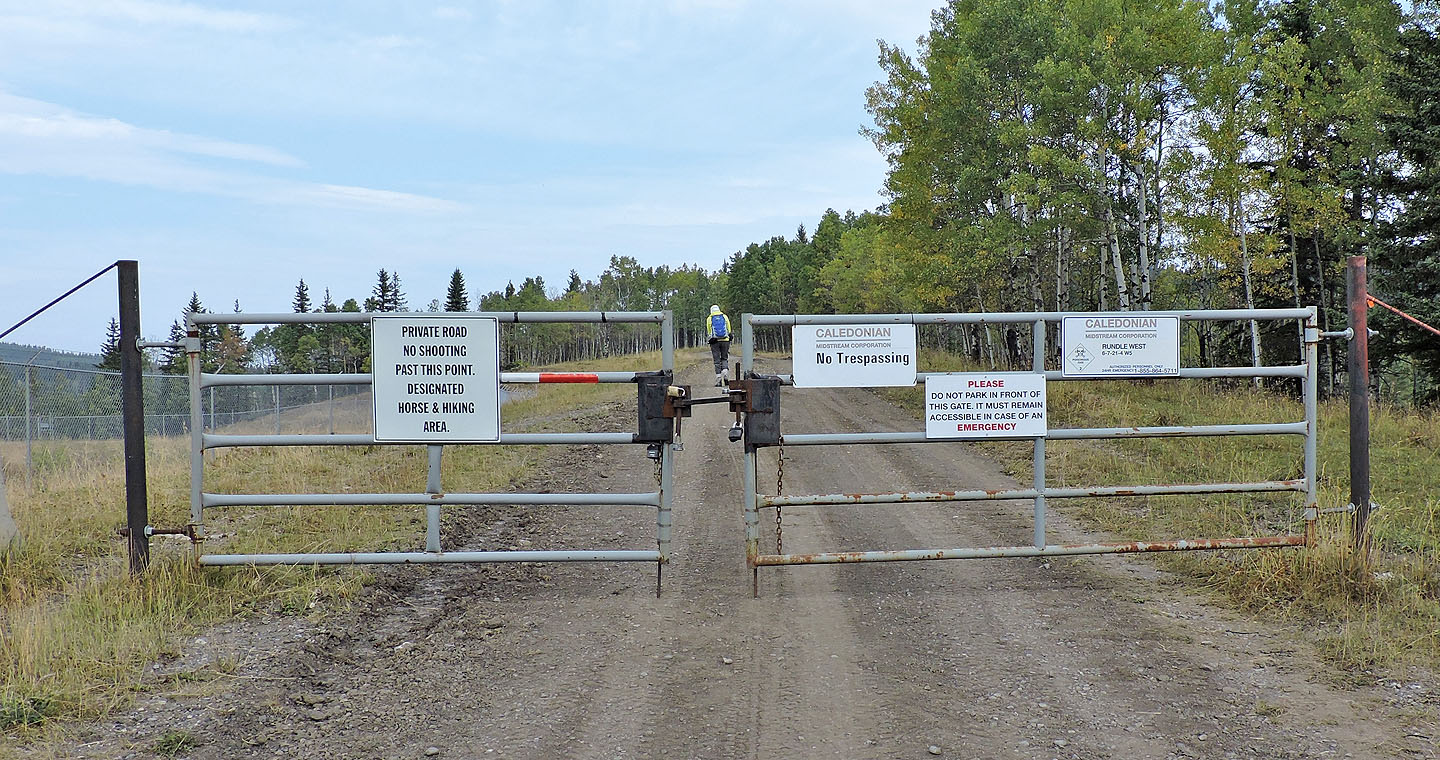
After parking by the gate, we ignored the "No Trespassing" sign and focused on the "Hiking Area sign"
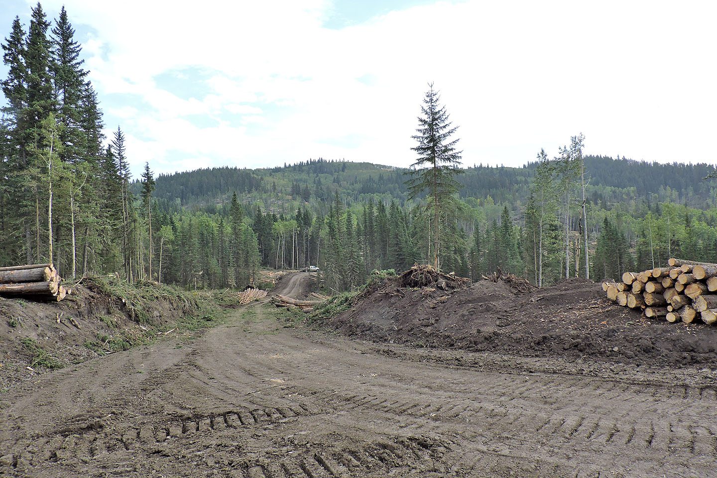
400 m from the gate, we came across a new logging road going east
Mesa Butte on the left
At the fork, the road turns right and appeared freshly graded
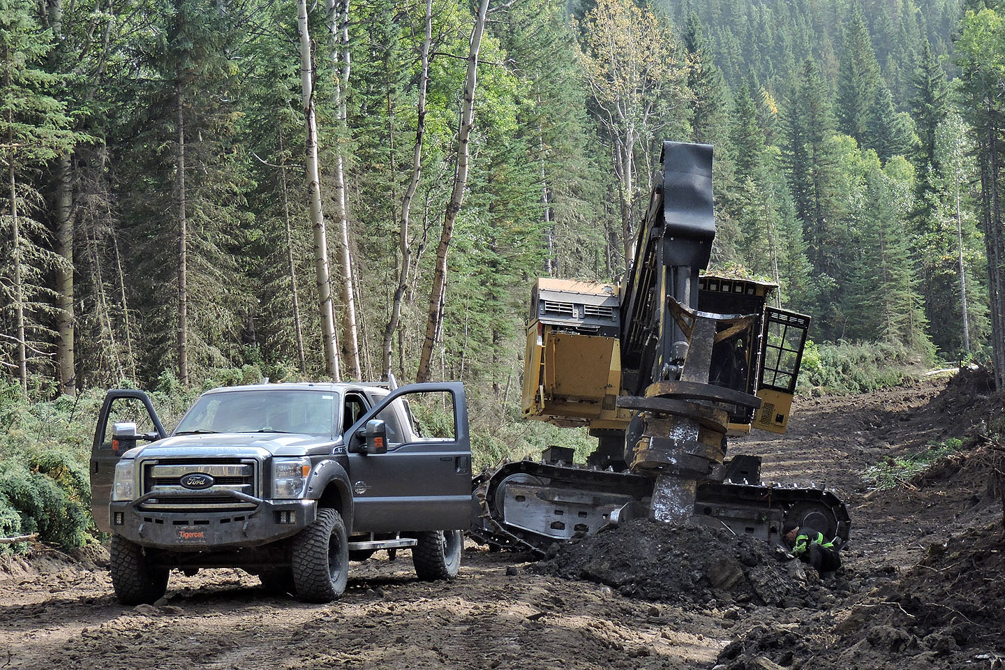
On a side road, a man works on a Tigercat Feller Buncher
The graded section ends
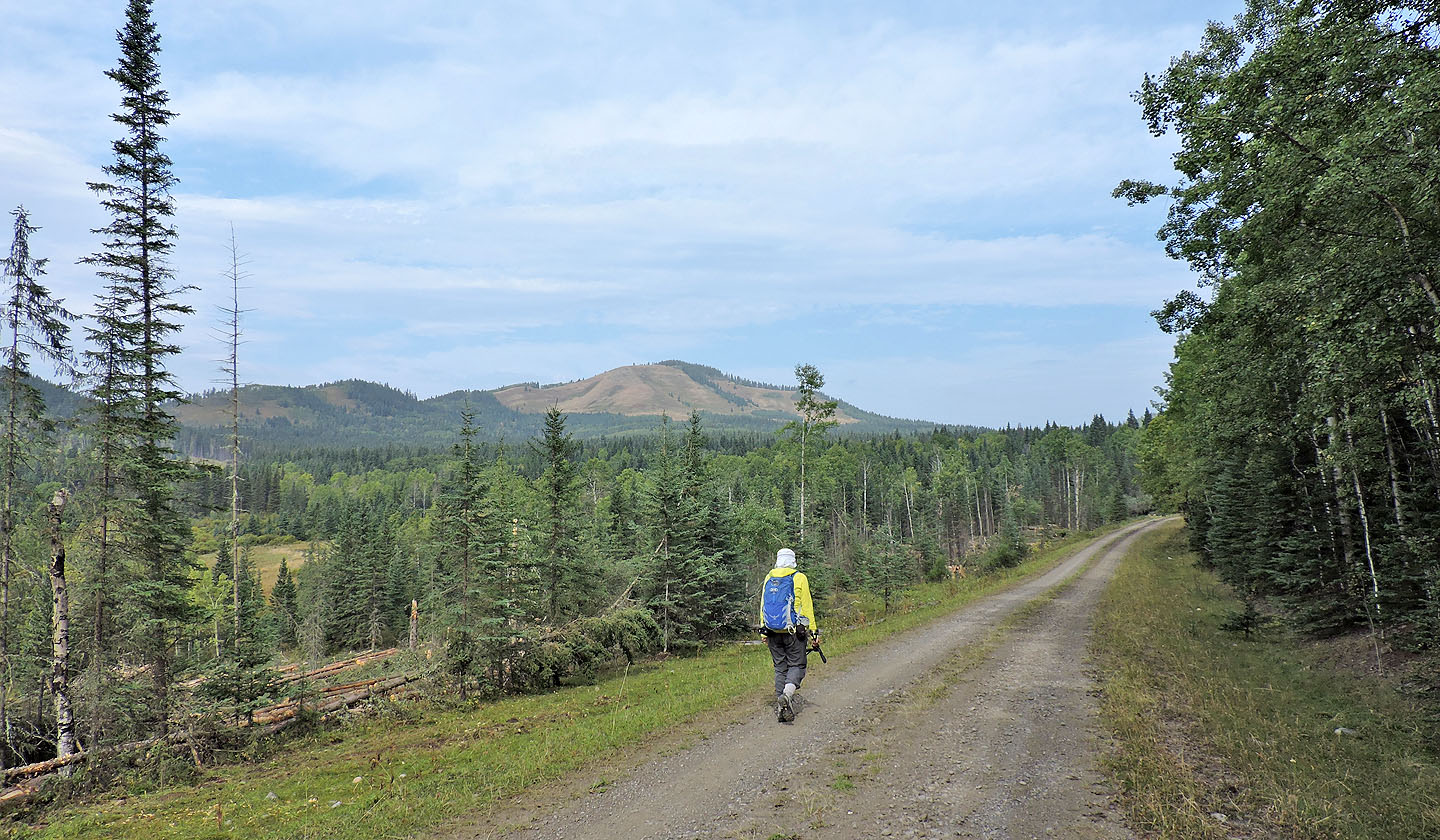
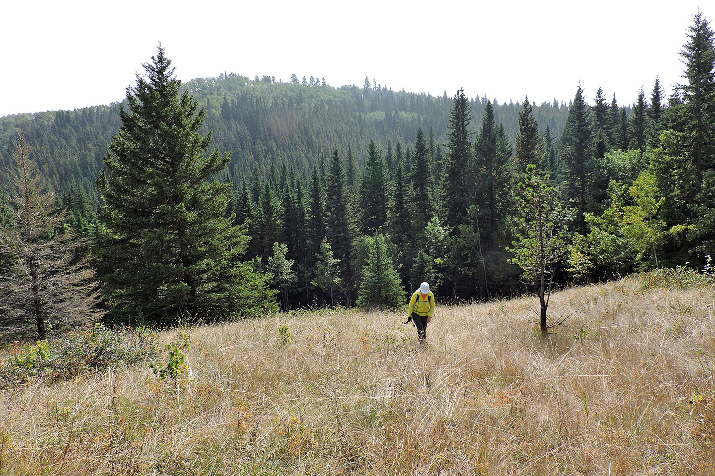
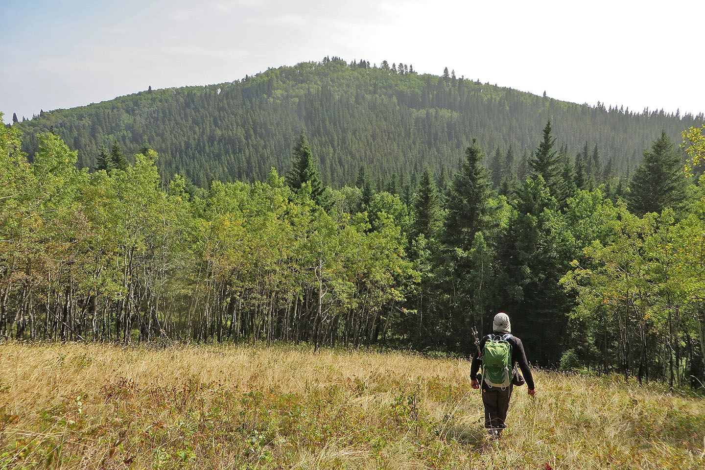
The lower slope of Jack's Hill appears ahead
We'll soon leave the road and start up the hill
Behind us in the centre is Sinnot Hill
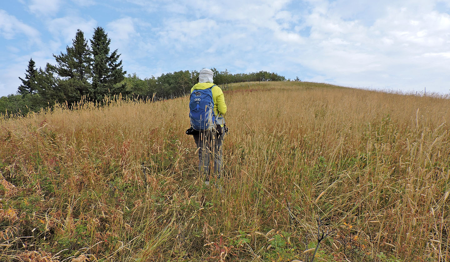
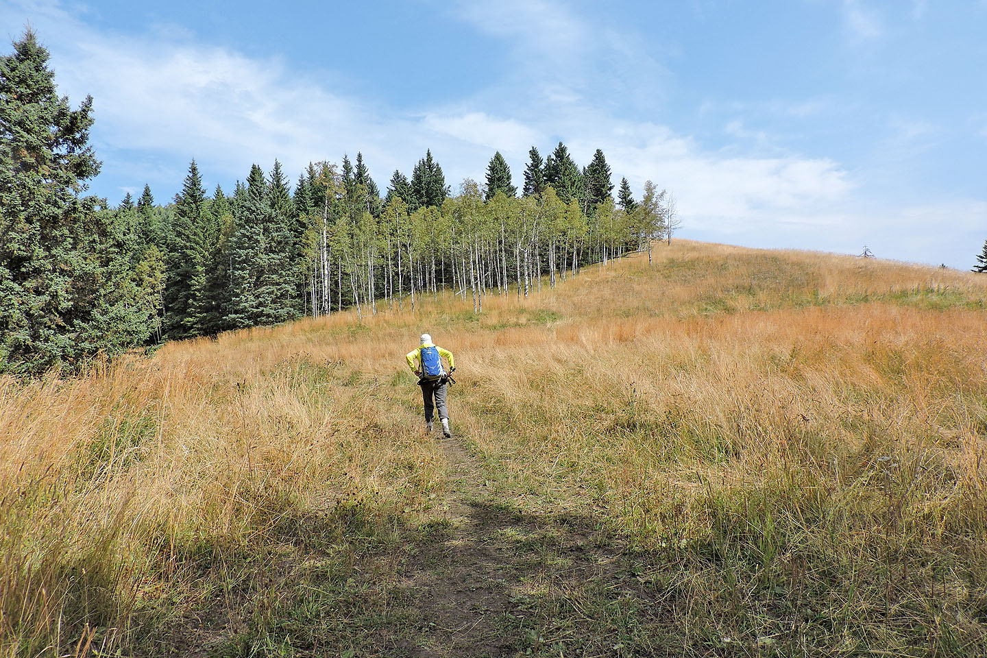
The grass was annoyingly high
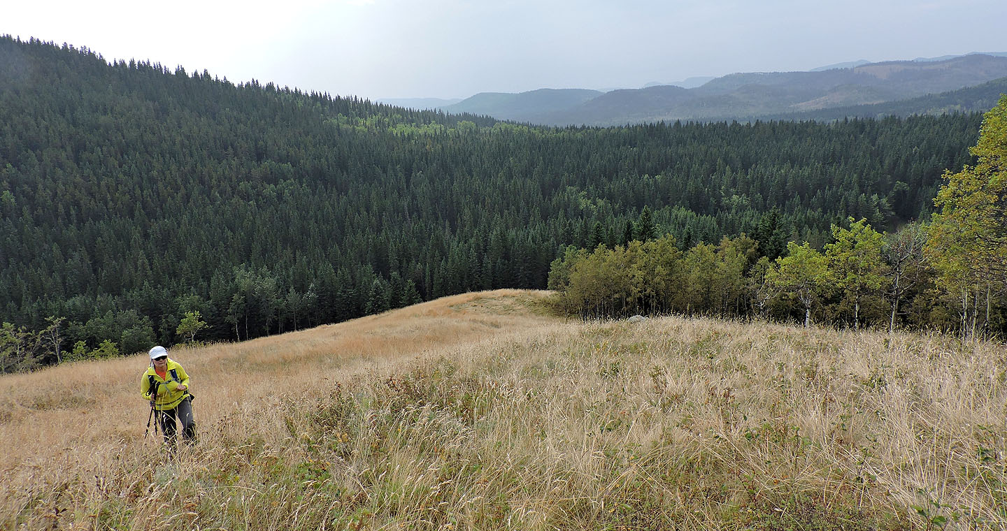
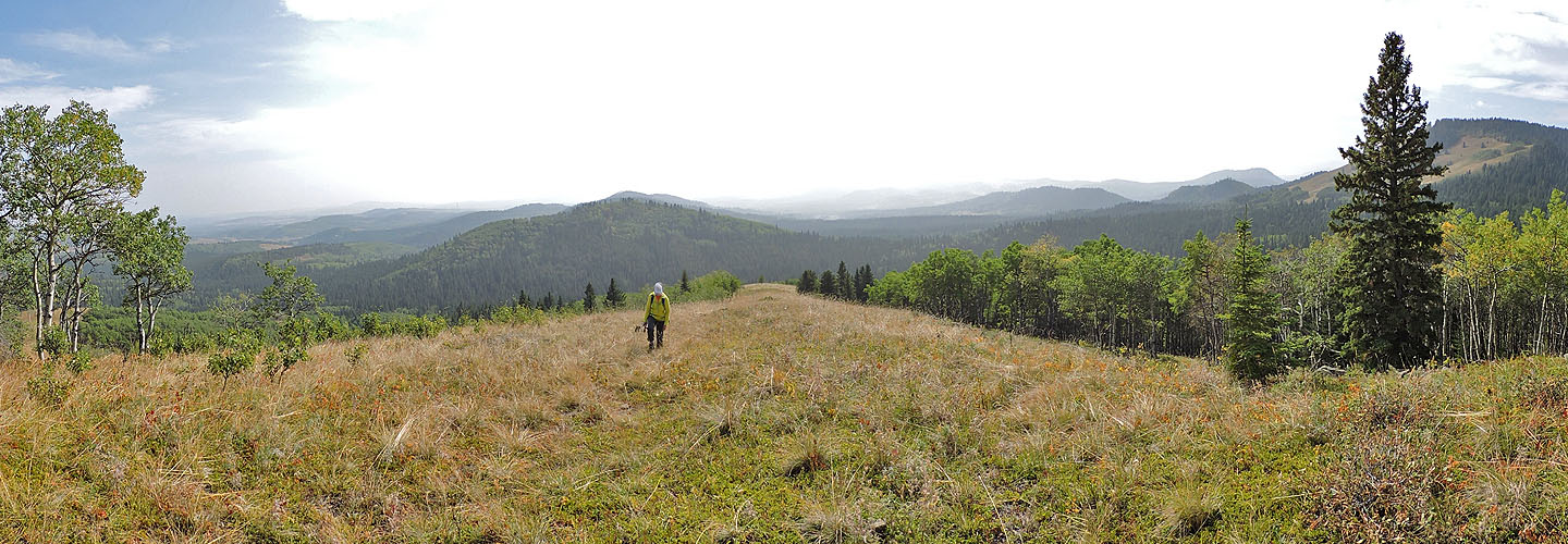
Views are far ranging but uninspiring. On the left is Muffet's Hill.
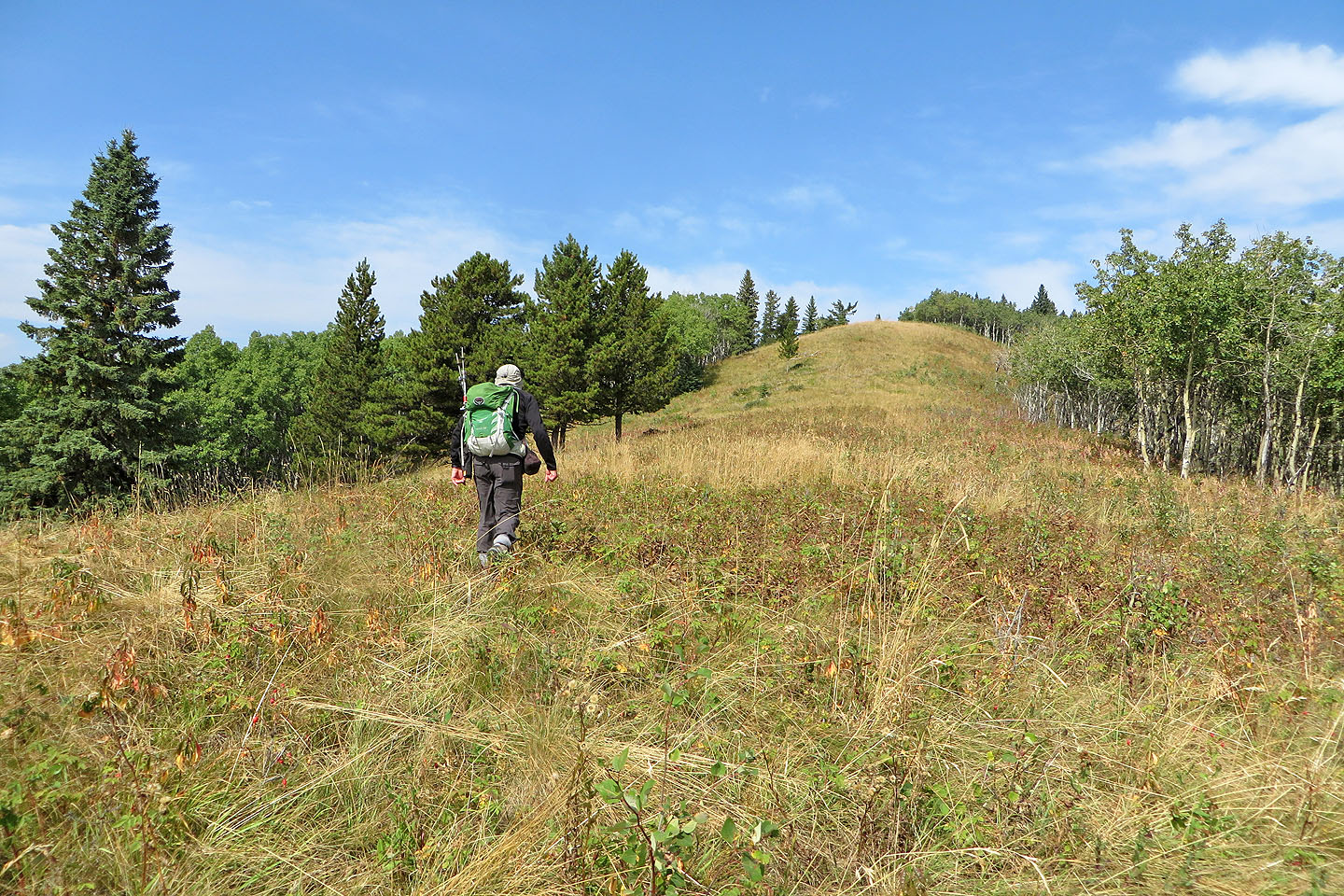
Dinah reaches the summit ahead of me
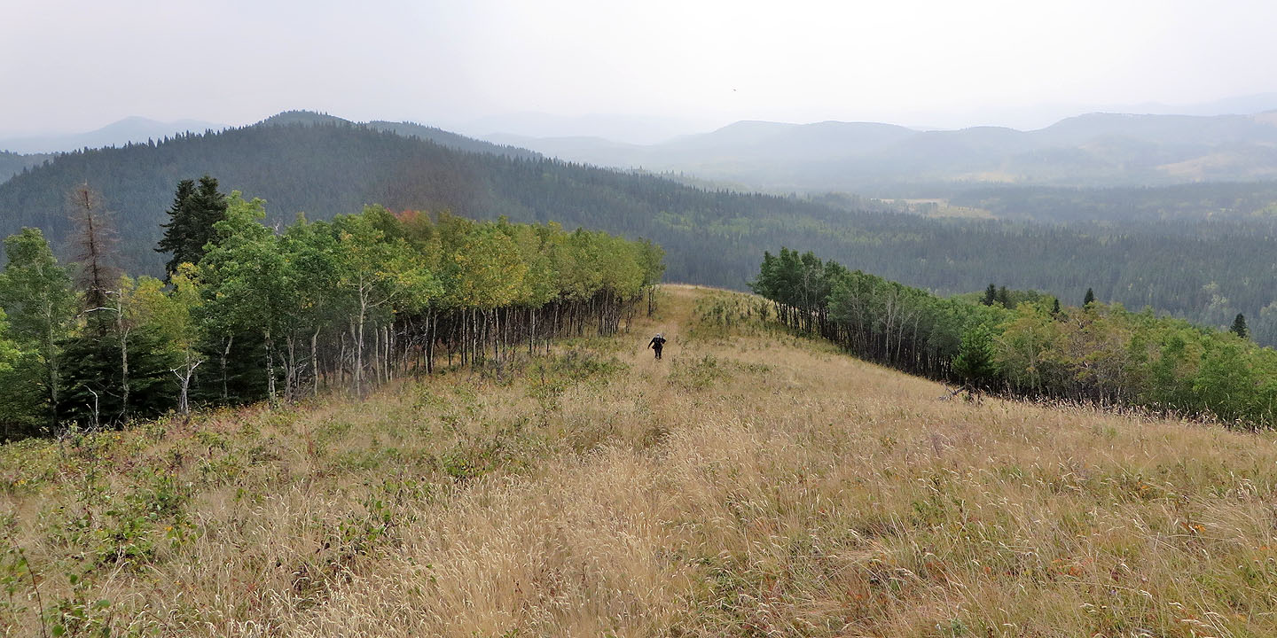
I'll soon join her on top of Jack's Hill
From Jack we started heading to Jill
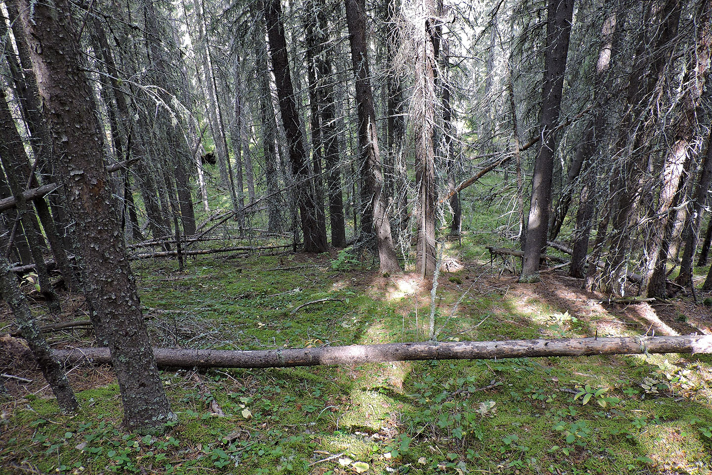
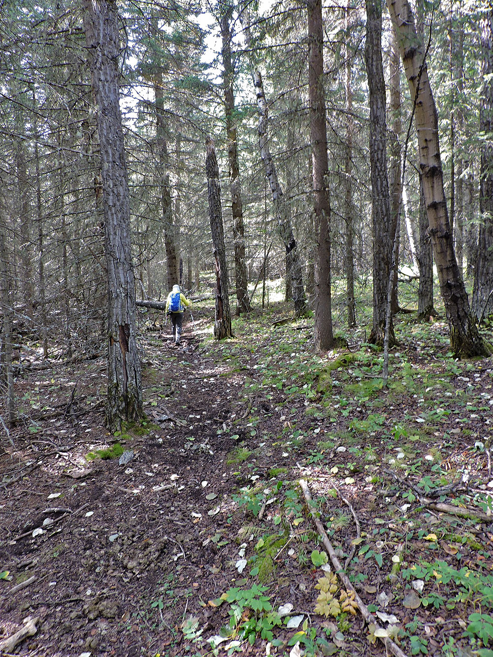
At the bottom of the hill, we had to navigate through deadfall
Leaving Jack behind, we started up Jill
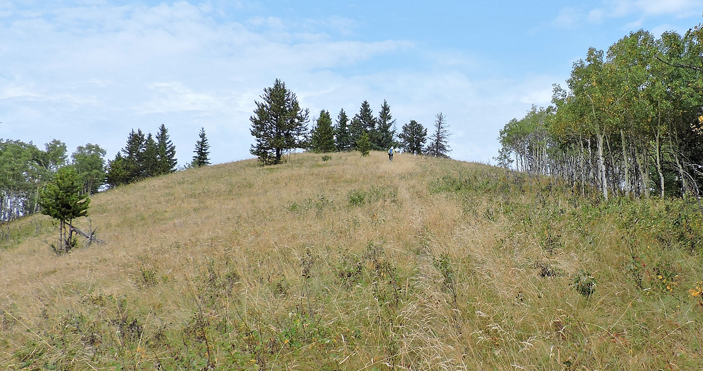
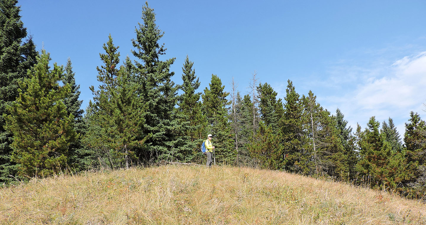
This is a false summit. The true summit is hidden by the aspens on the right
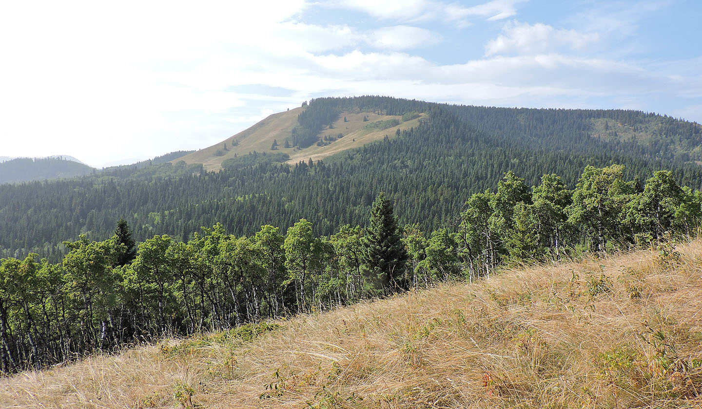
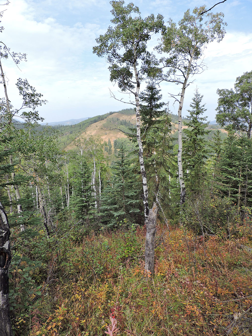
Mesa Butte is nearby
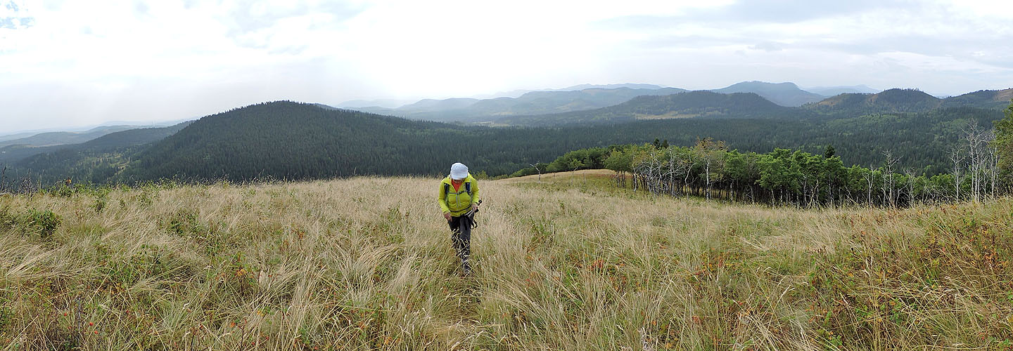
Looking back from near the summit
Dinah stands on top of Jill's Hill
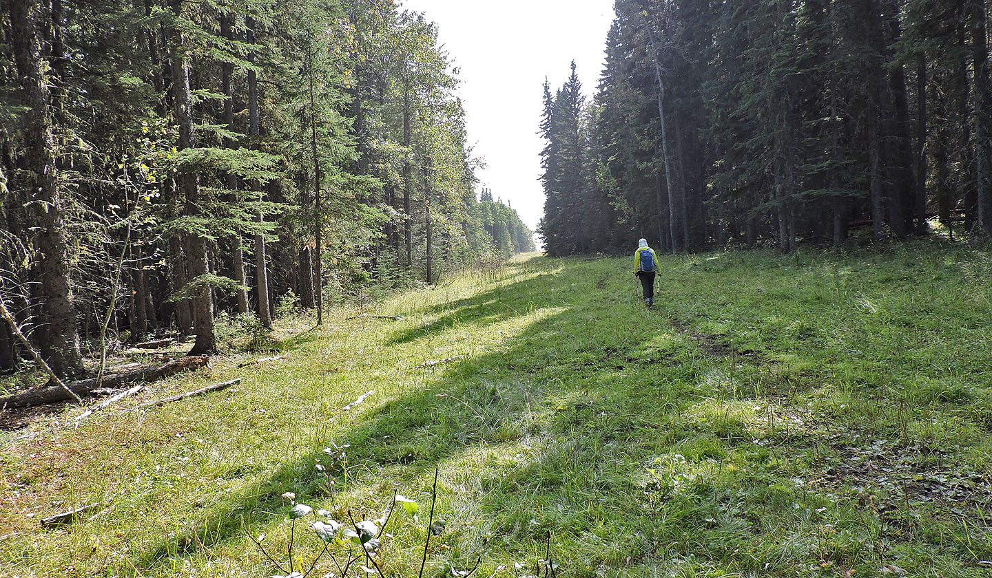
Heading down to the valley where we'll pick up the trail
We followed the trail back to the road
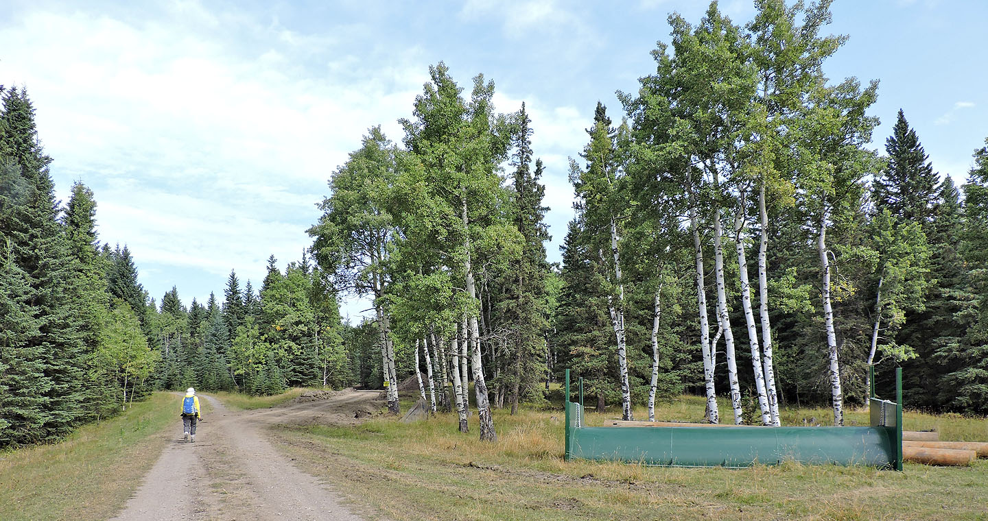
Back on the road
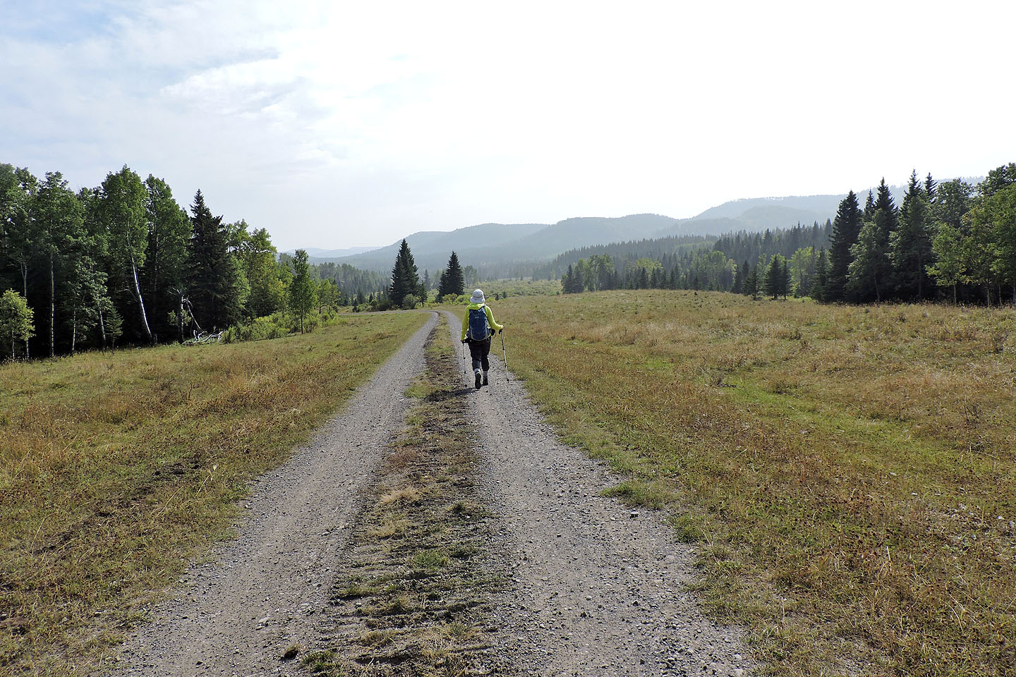
We had a pleasant walk back to our car, except for the sound of logging machines
82 J/15 Bragg Creek