bobspirko.ca | Home | Canada Trips | US Trips | Hiking | Snowshoeing | MAP | About
Sinnot Hill
Kananaskis, Alberta
September 23, 2018
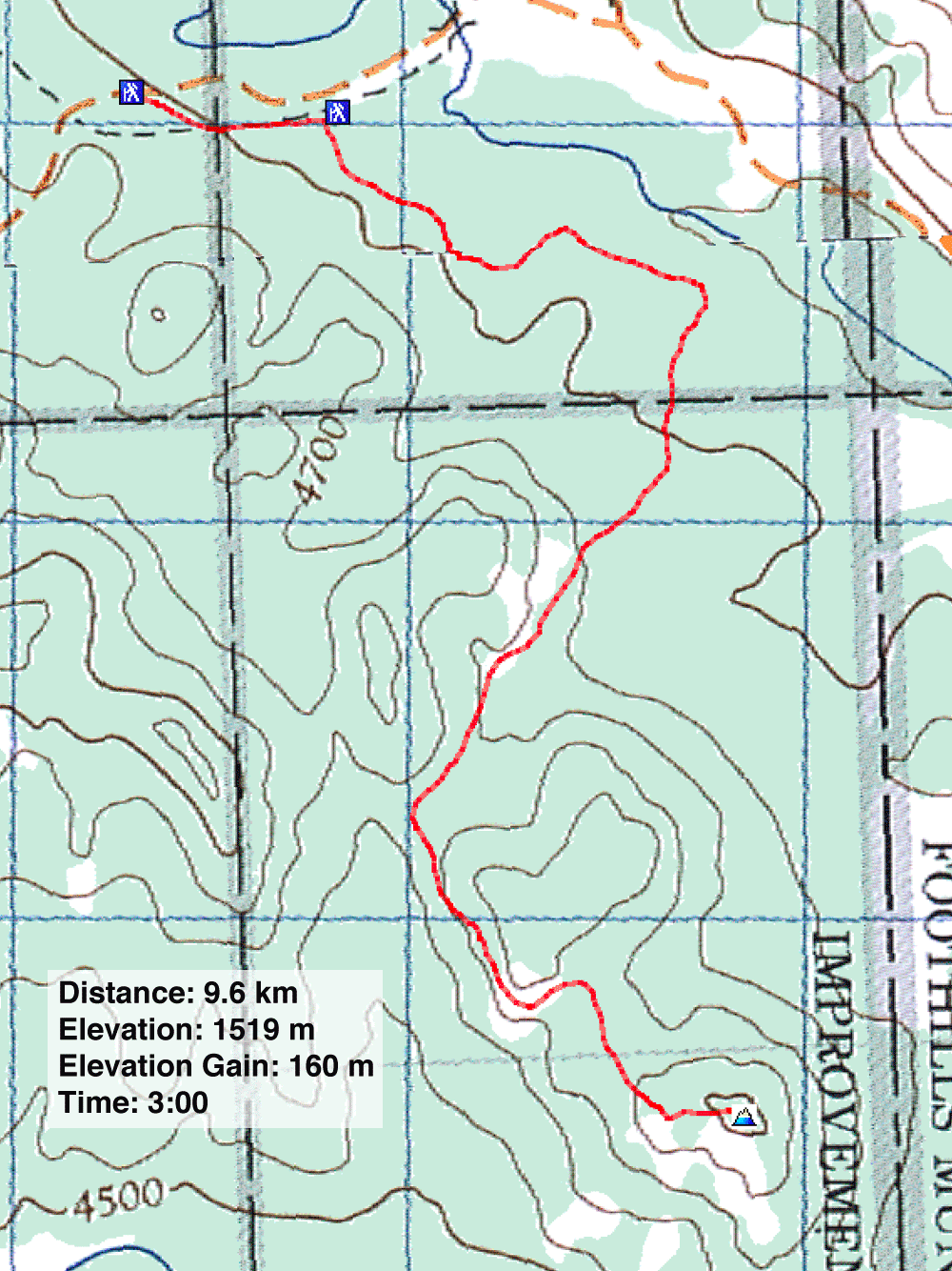
Distance: 9.6 km (6.0 mi)
Cumulative Elevation Gain: 203 m (666 ft)
It's unlikely Sinnot Hill has much to offer even on a good day, so rather than waste a nice day, I hiked it when it was cloudy, cold, wet, and fairly miserable.
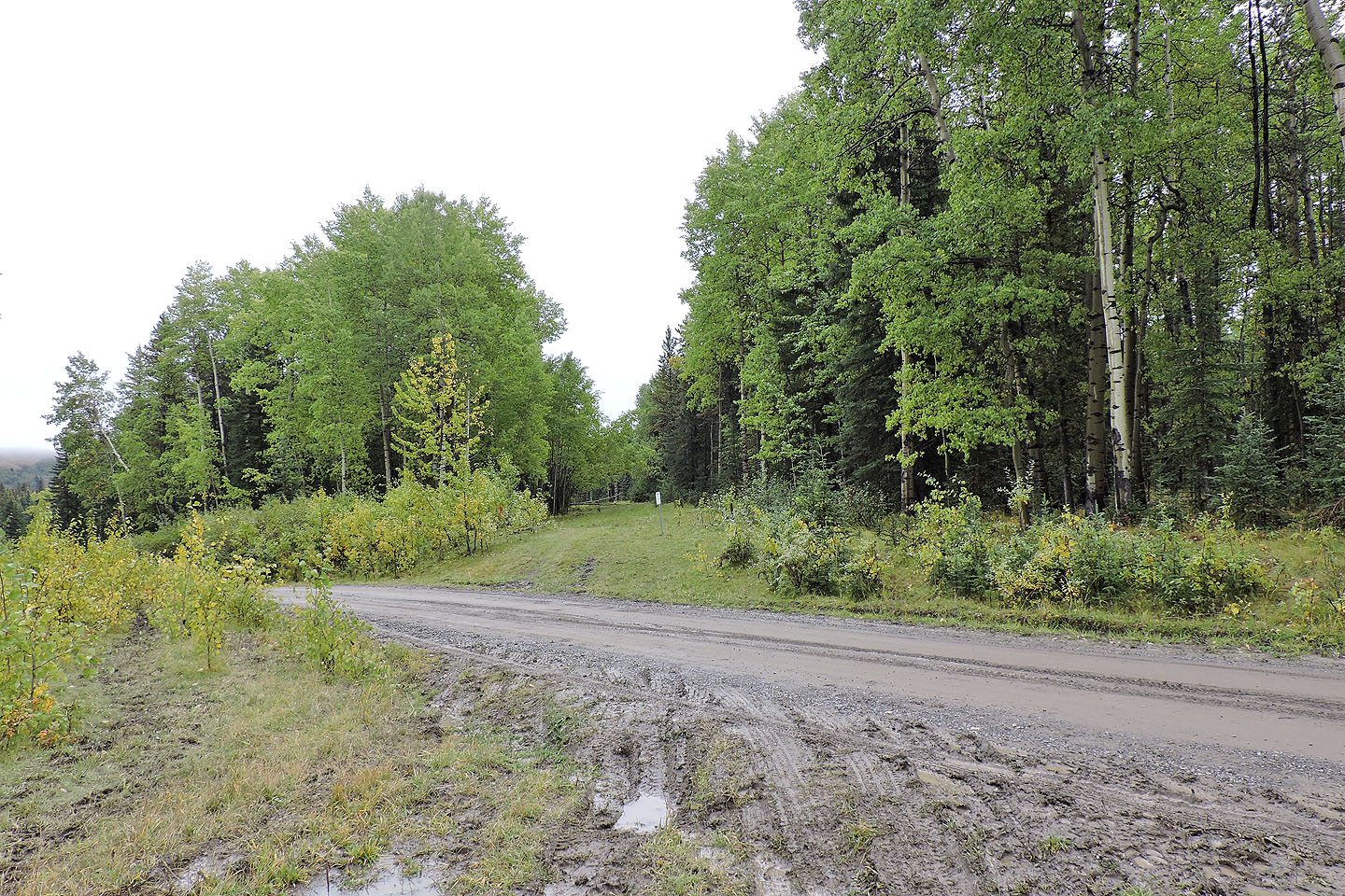
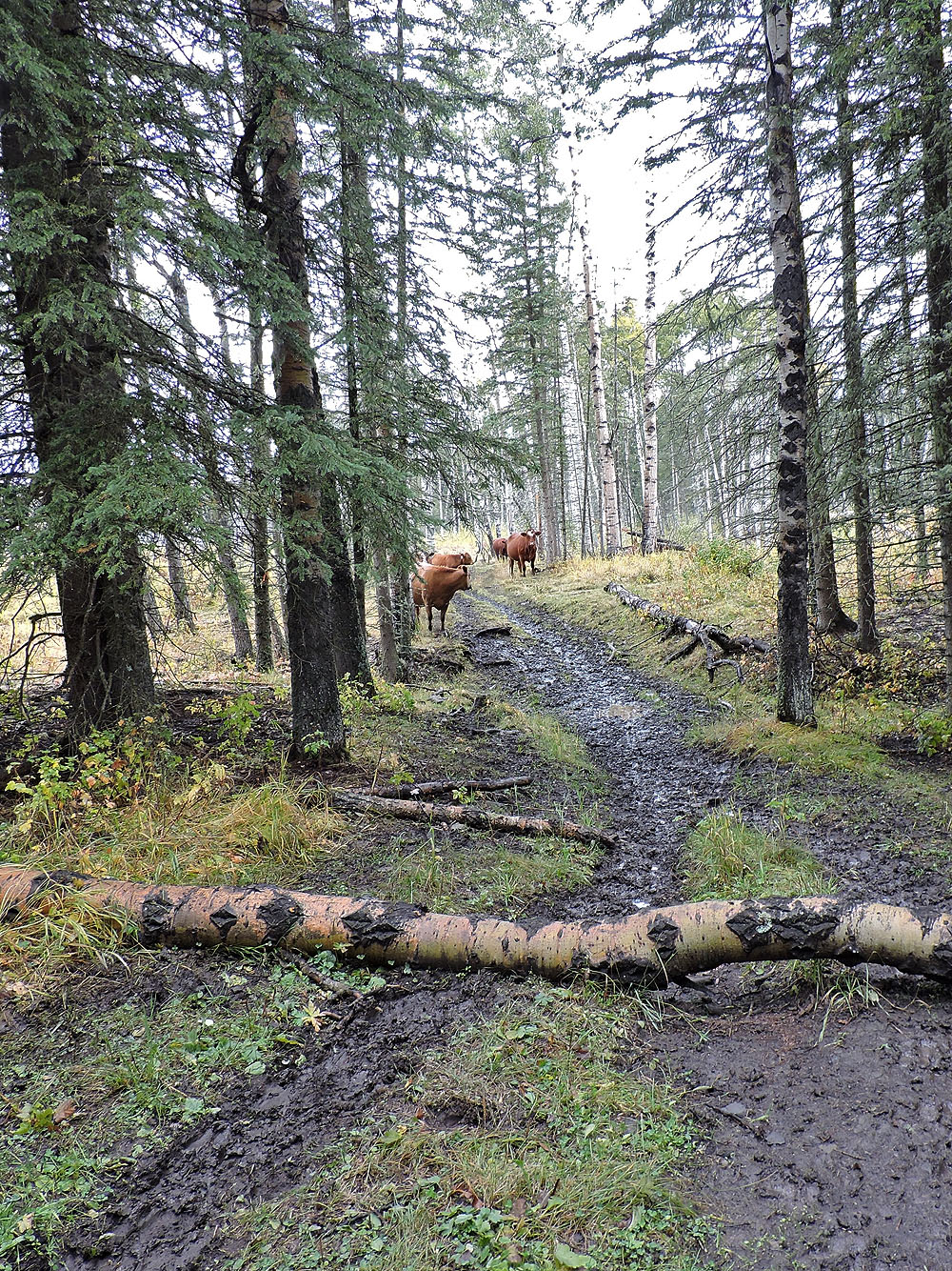
Following the route in Kananaskis Country Trail Guide, I parked off of Ware Creek Road and hiked down a powerline right-of-way to a metal shed (this alternative trailhead knocks off 500 m each way). Turning right, I continued on a logging road but at the edge of a cutblock, it was reduced to a sketchy path. When the cutblock split, separated by a stand of trees, the trail disappeared. I went right, although in retrospect left appears shorter. Nonetheless, I soon came across the main trail, wide and muddy. Worse than the mud was the stream of cows going up it. I jumped in line: cows ahead of me and cows behind.
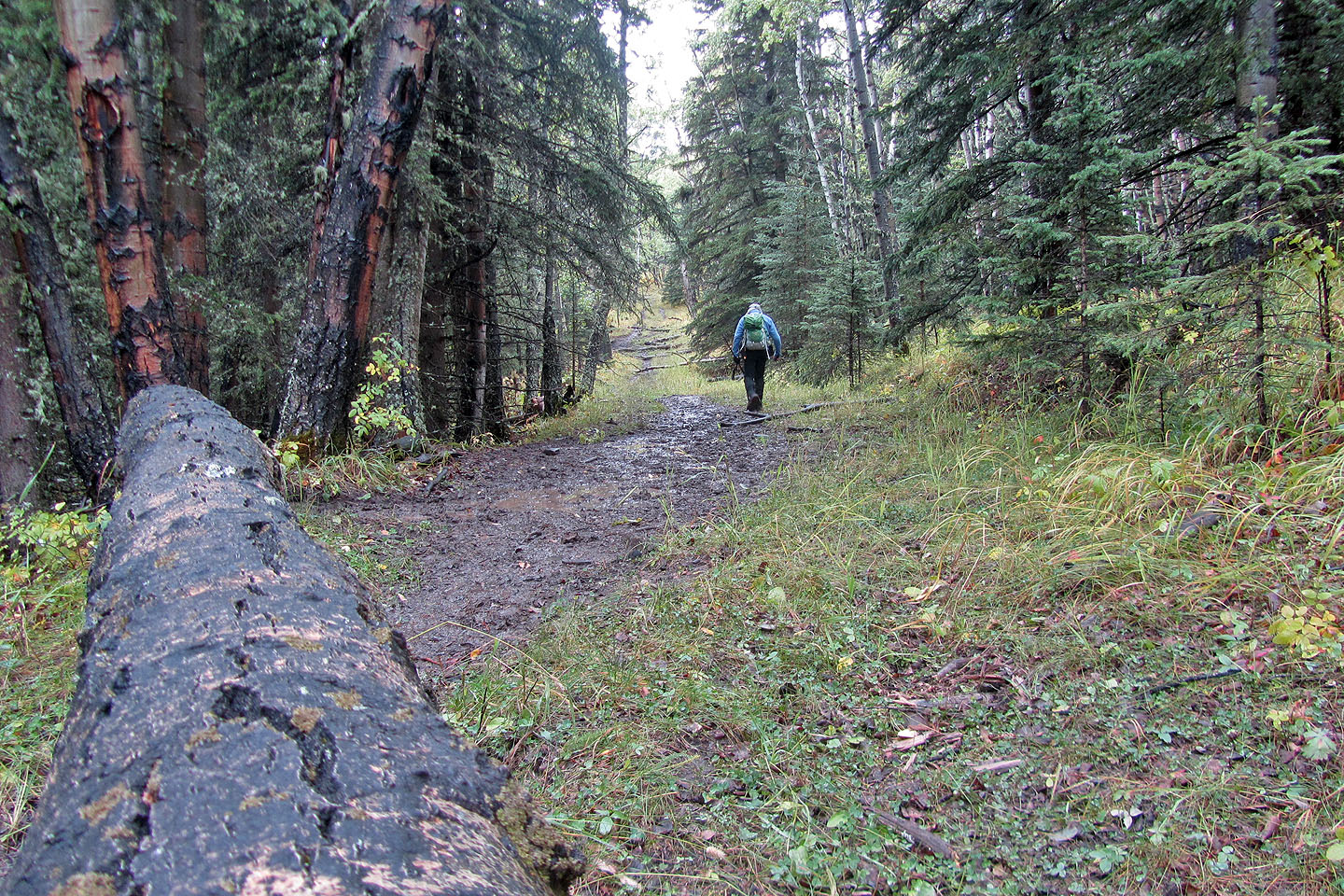
When the cows stopped to graze, I continued past them and found a junction sign in the corner of a meadow: left for HWY 549 (necessitating a creek crossing) and right for Sinnot Hill. The trail to Sinnot – called 9999 trail – was pounded by countless cattle and left a broad, muddy mess, although the squishy hoof prints weren't the worst things they left behind. It was a good time to practice trail avoidance.
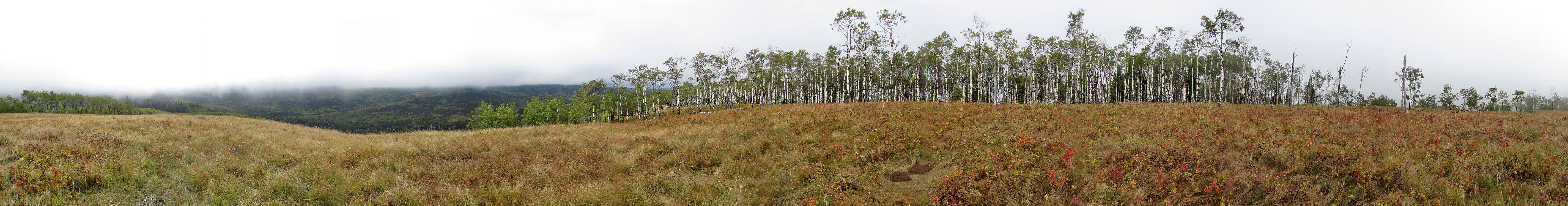
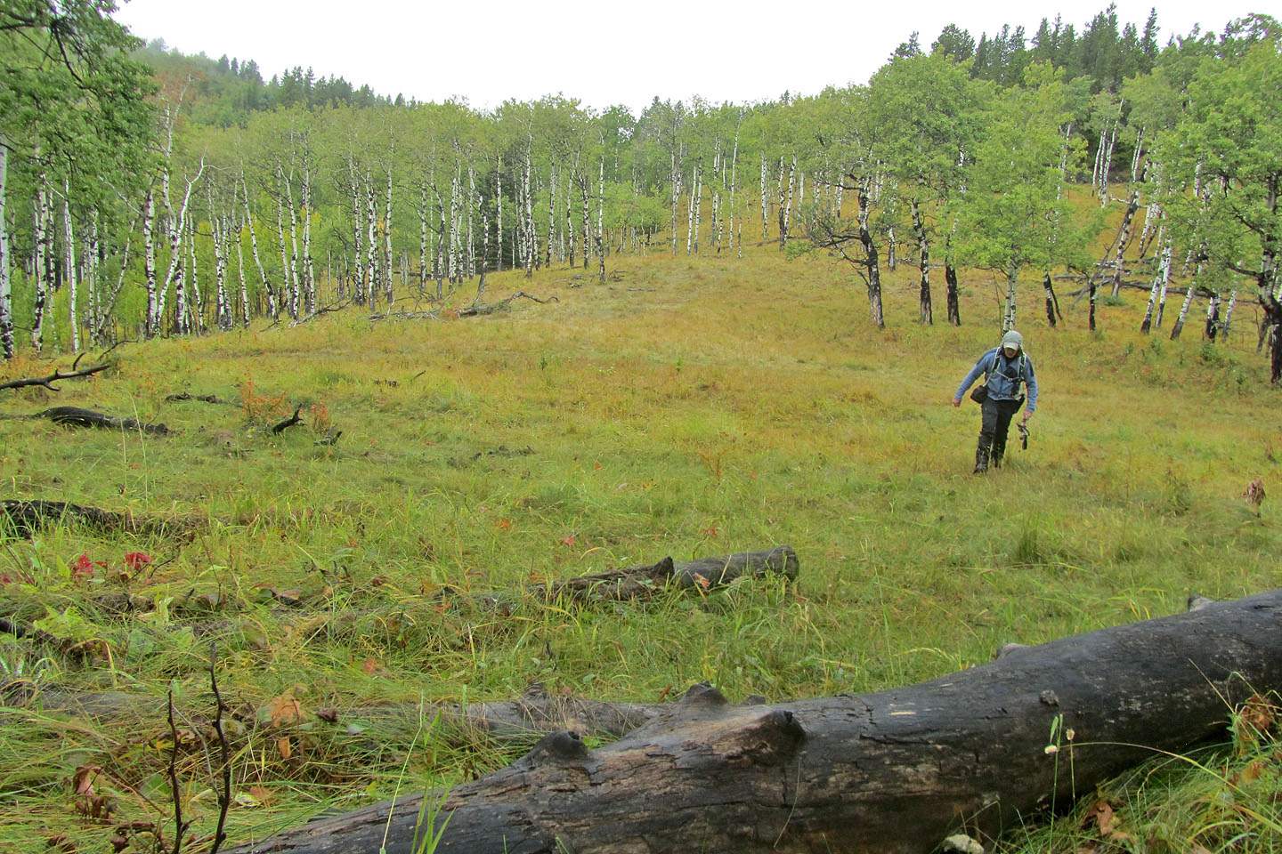
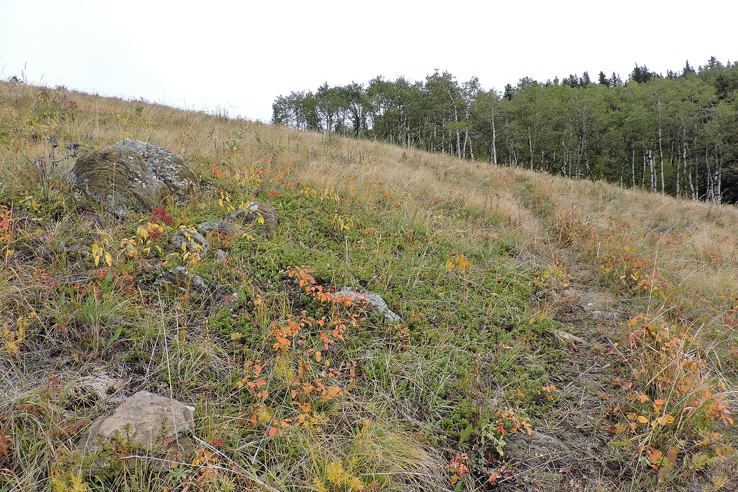
The trail slowly improved, becoming narrower and less muddy, until it reached the junction for Sinnot Hill. After that, travel through woods and meadows was fairly pleasant. And except for the occasional cow pie, I almost forgot I was in cattle country. In a short time, I was standing on the half-bald summit, straining to see the scenery. The low clouds were bad enough, but after arriving, a thick mist rolled in erasing whatever mediocre views this monticule might offer.
I can't imagine ever coming back here, except in winter. Only a blanket of snow could make the trails here pretty. (See our Sinnot snowshoe trip.)
The trailhead
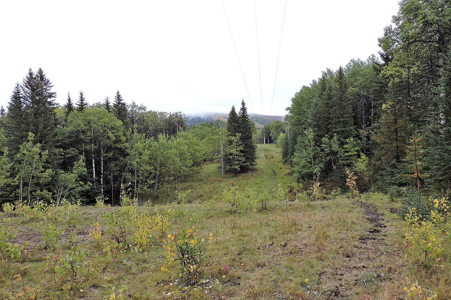
The trail follows a powerline right-of-way
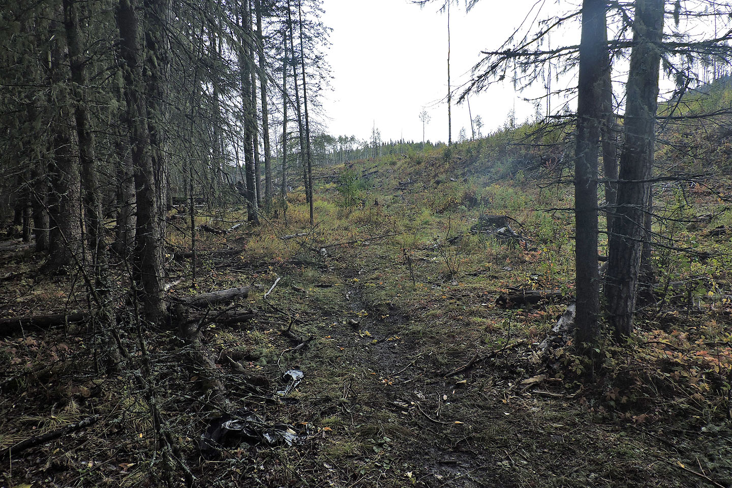
After turning right at a metal shed, I followed the road until it changed to a trail at the edge of a cutblock
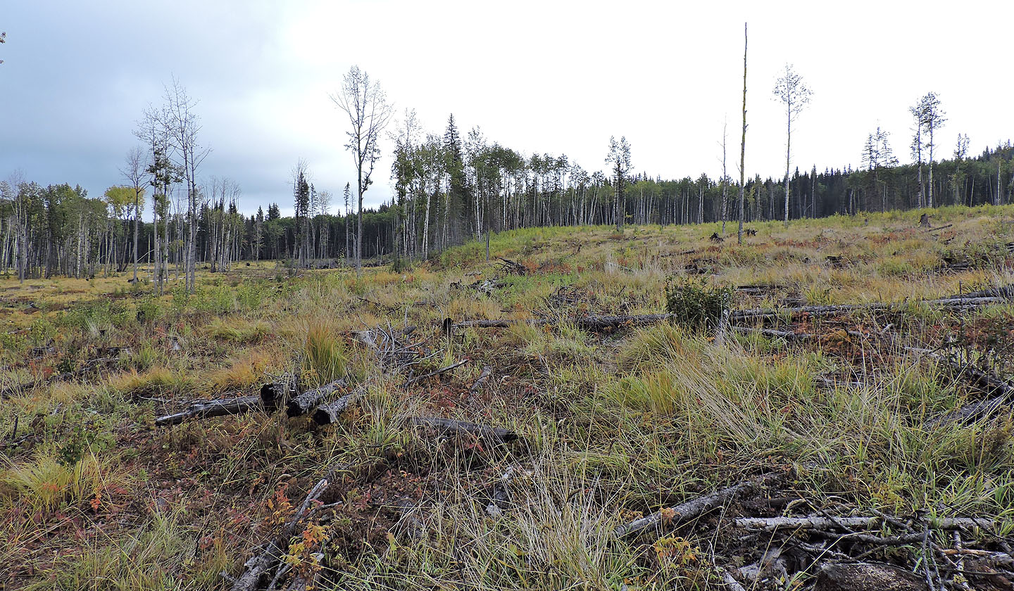
When the trail disappeared, I went right but looking at my route later, left looks shorter
After taking the cutblock on the right, I kept left
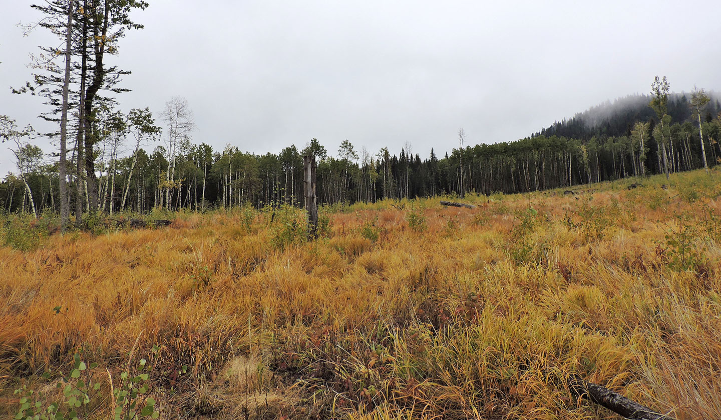
I picked up a faint trail in the grass
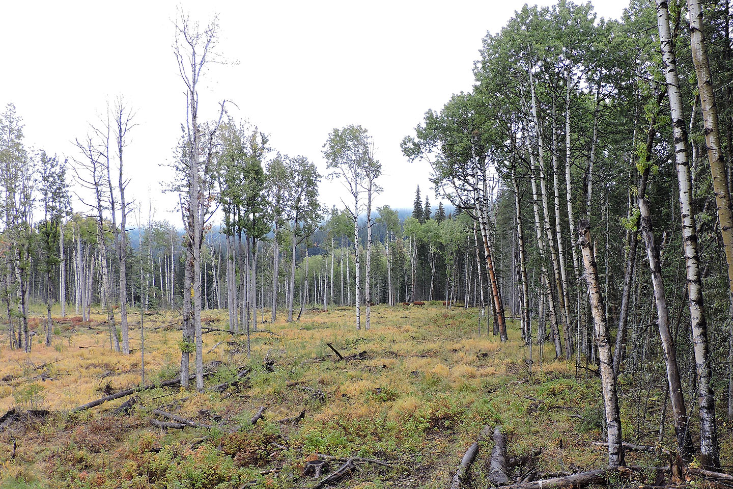
A short time later, I realized I had to turn right to get onto the trail that the cattle were on
Looking back after reaching the trail
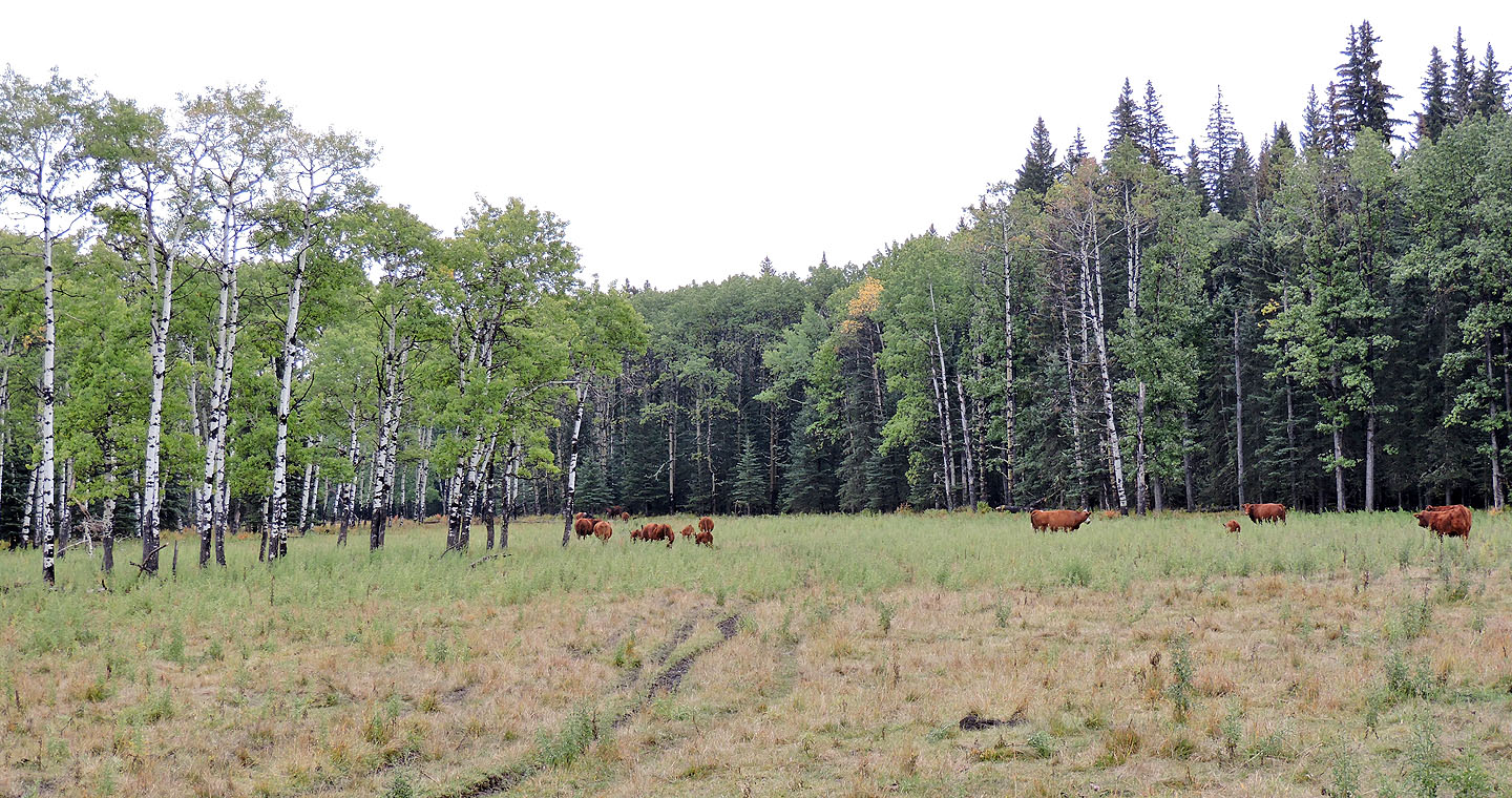
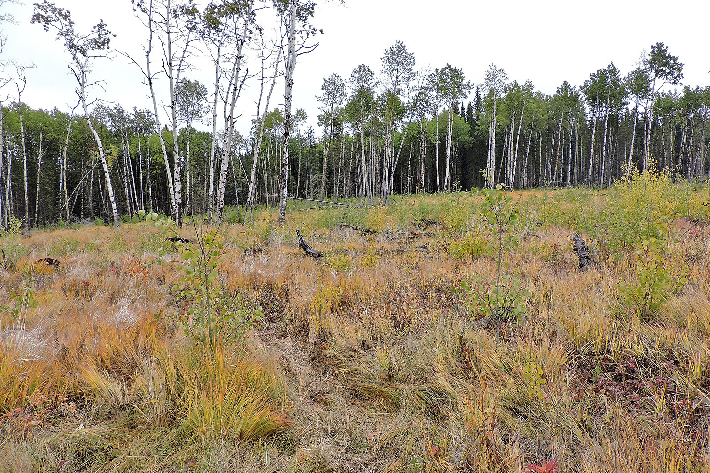
The trail led to a meadow
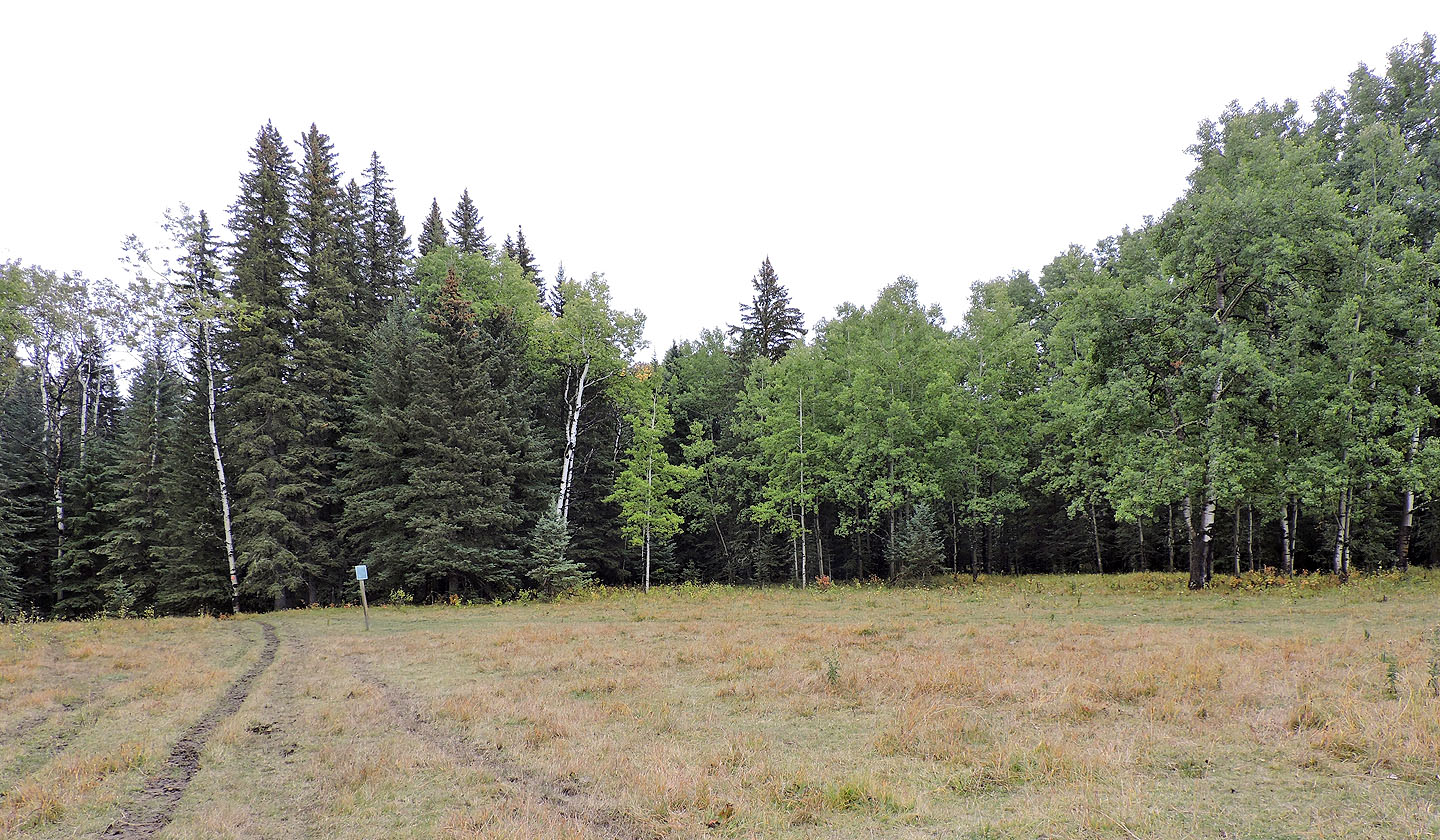
At the trail junction, I turned right
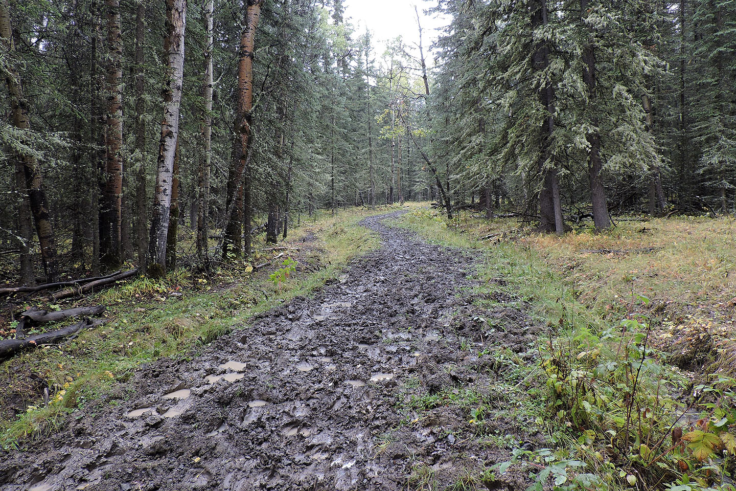
The trail was a mucky mess
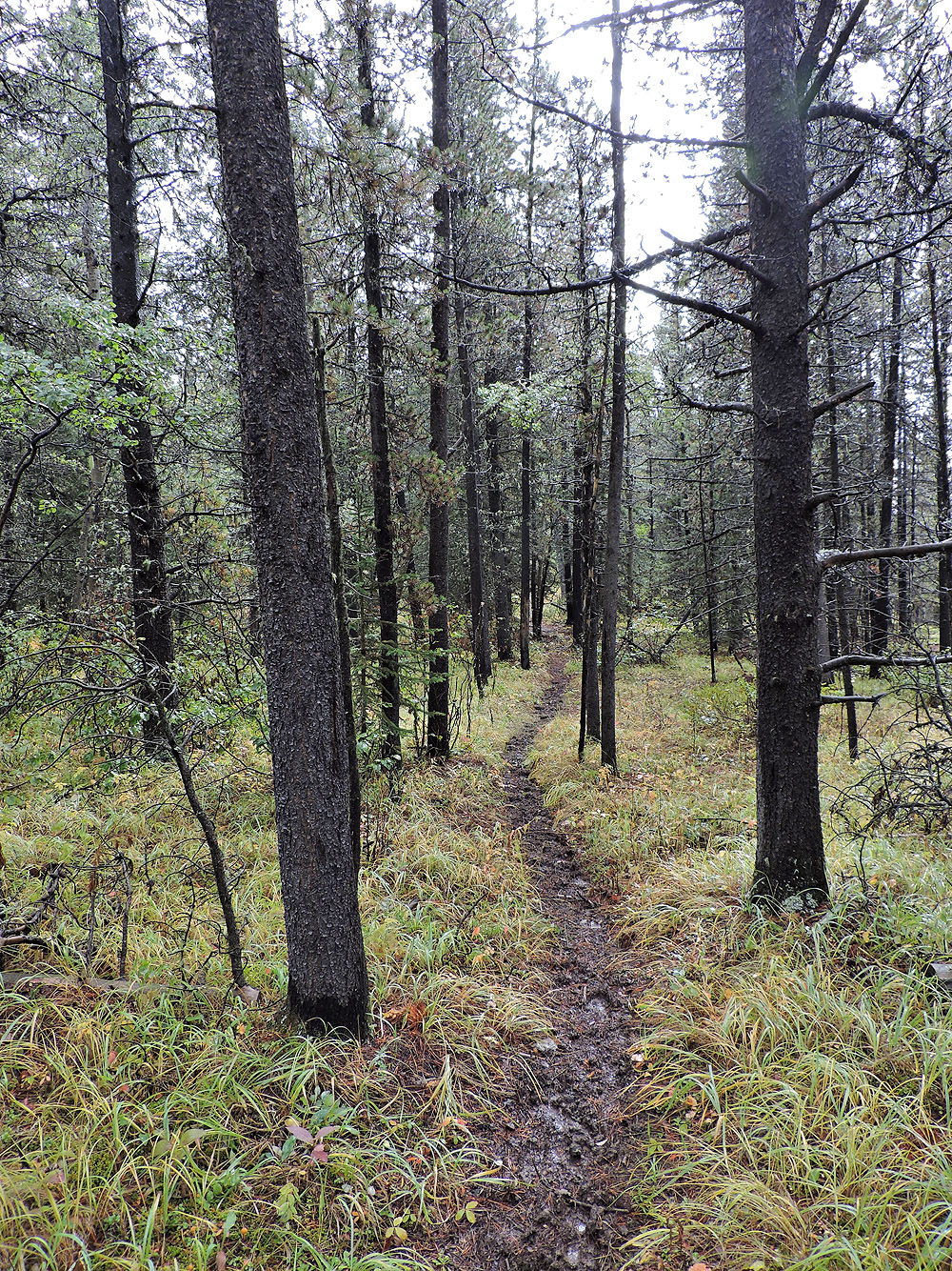
The trail slowly improved
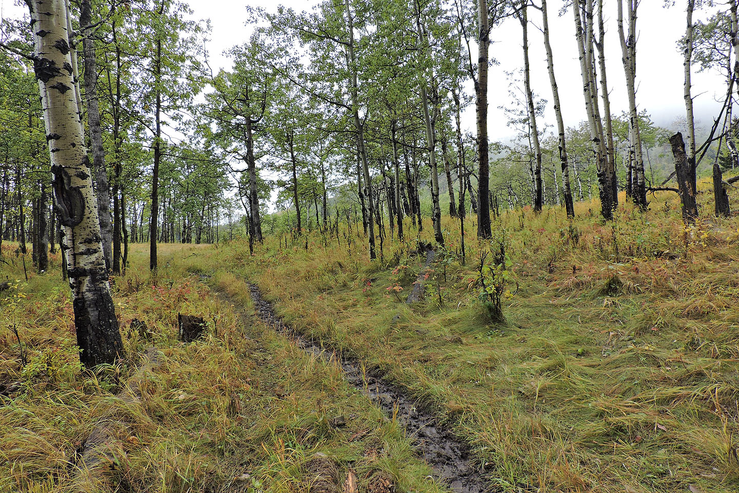
Coming to the junction for Sinnot Hill
Starting up from the junction
The trail crosses a meadow but then ducks back into the trees
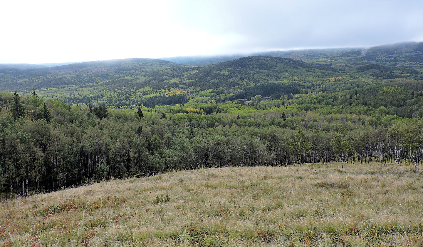
Clouds prevented far-ranging views
A narrow trail follows the ridge
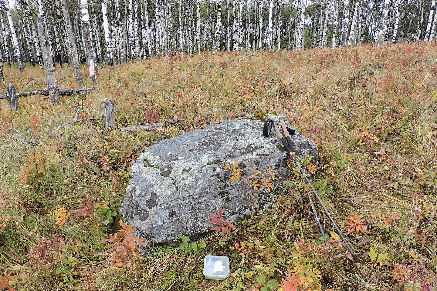
On the summit, a geocache lies next to a solitary rock
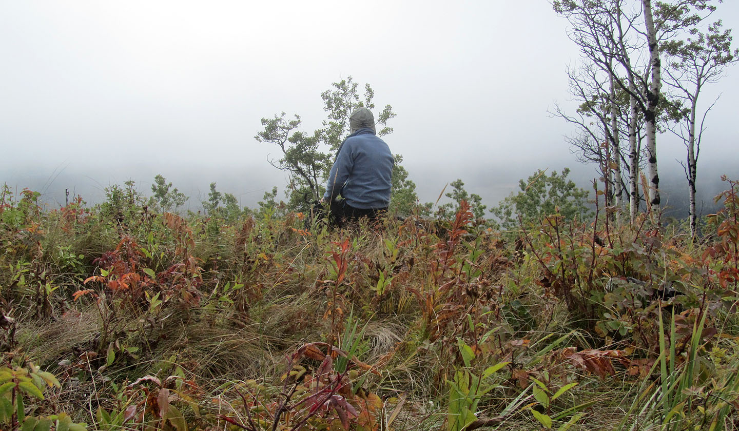
I sat on the rock and watched the mist roll in
82 J/15 Bragg Creek, 82 J/10 Mount Rae