bobspirko.ca | Home | Canada Trips | US Trips | Hiking | Snowshoeing | MAP | About
Junction Hill
Kananaskis, Alberta
March 27, 2010
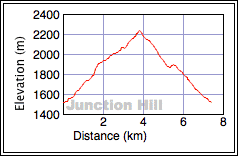
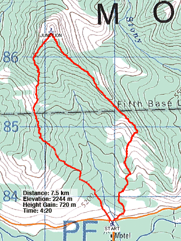
Distance: 7.5 km (4.7 mi)
Cumulative Elevation Gain: 754 m (2474 ft)
For our ascent of Junction Hill, we did the loop in reverse, counterclockwise, ascending the southeast ridge and descending the southwest ridge. Having done them both, the clockwise loop seemed to offer slightly better views. See my 2020 trip.
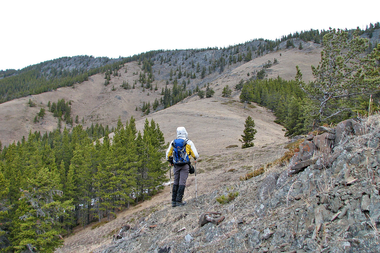
After going up the lower slopes, we reached a ramp that leads to the southeast ridge
Looking back
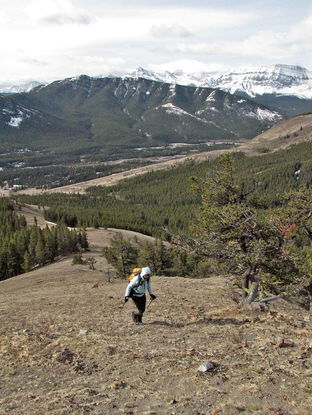
Looking down the open slope. Coyote Hills in the foreground.
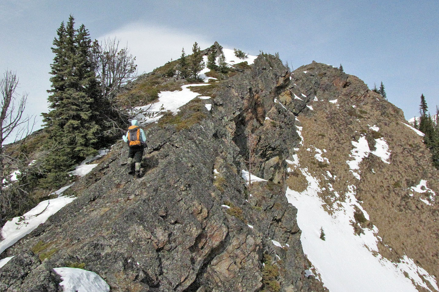
Almost on the ridge crest
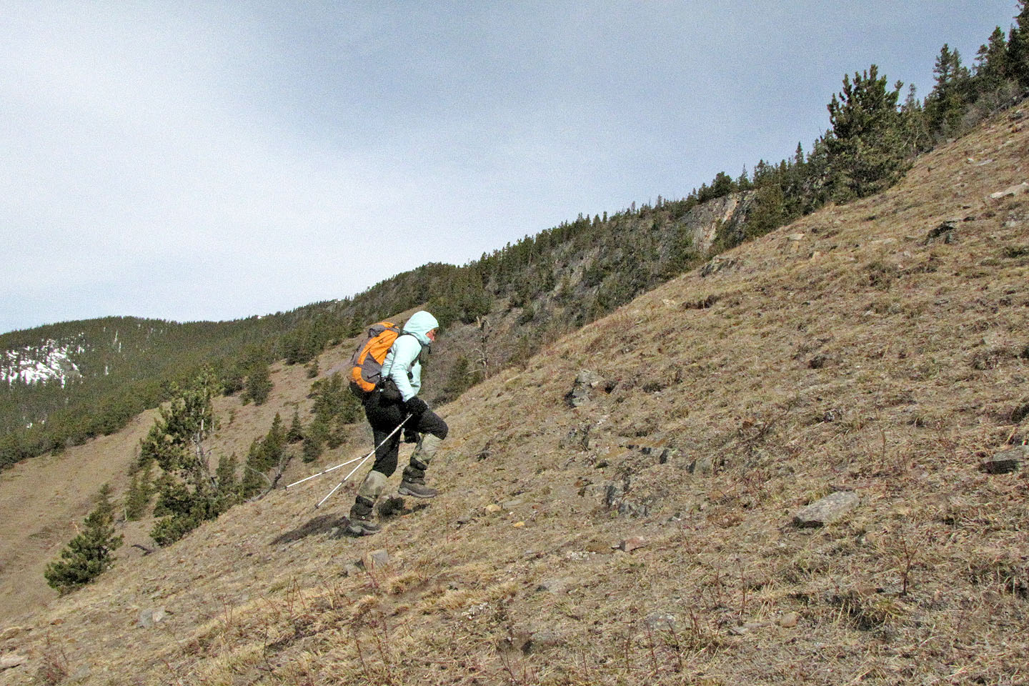
Enjoyable ascent on open slopes
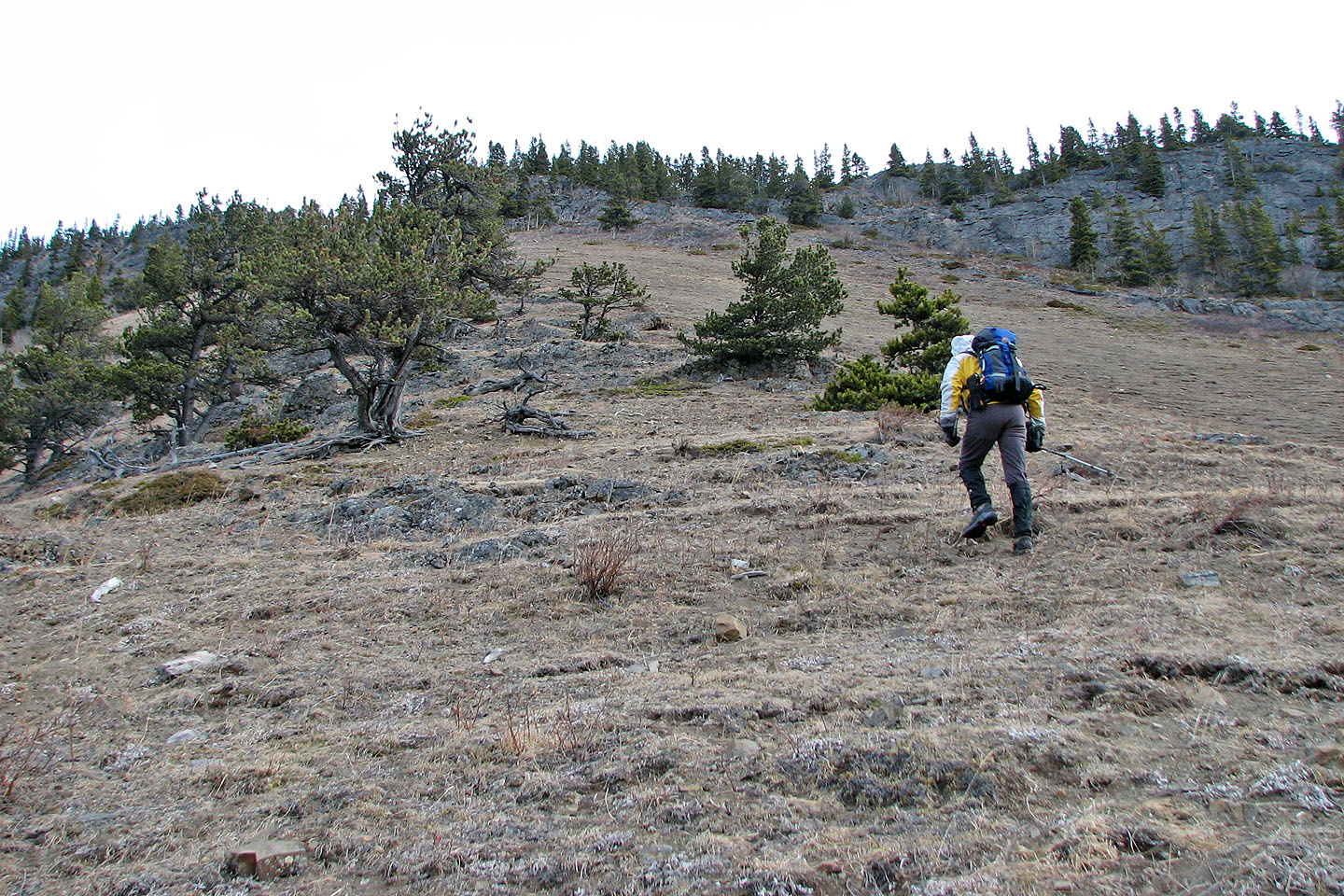
On the ridge
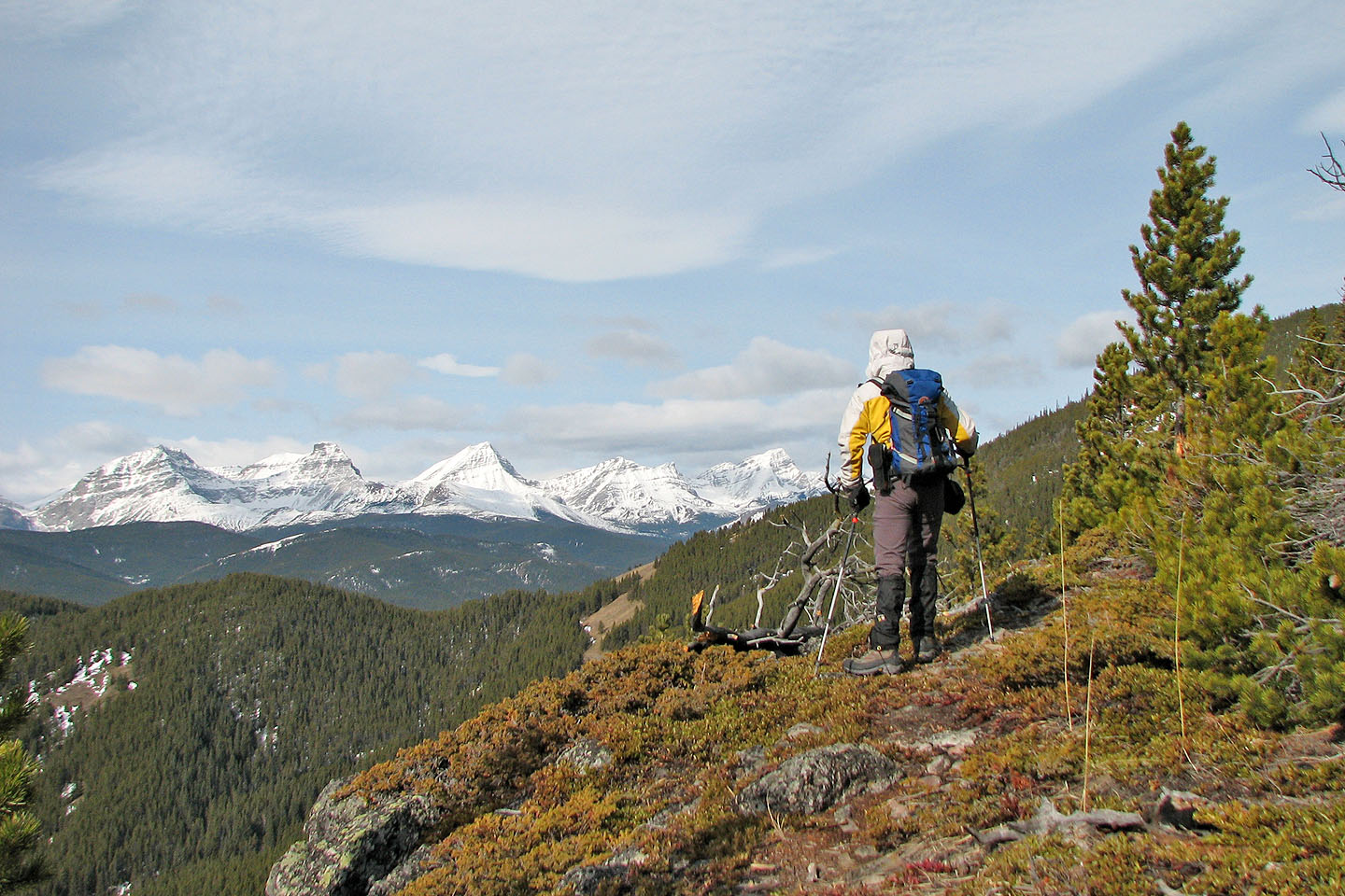
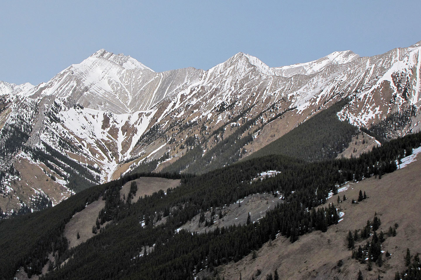
View of Mounts Strachan, Muir and McPhail on the left
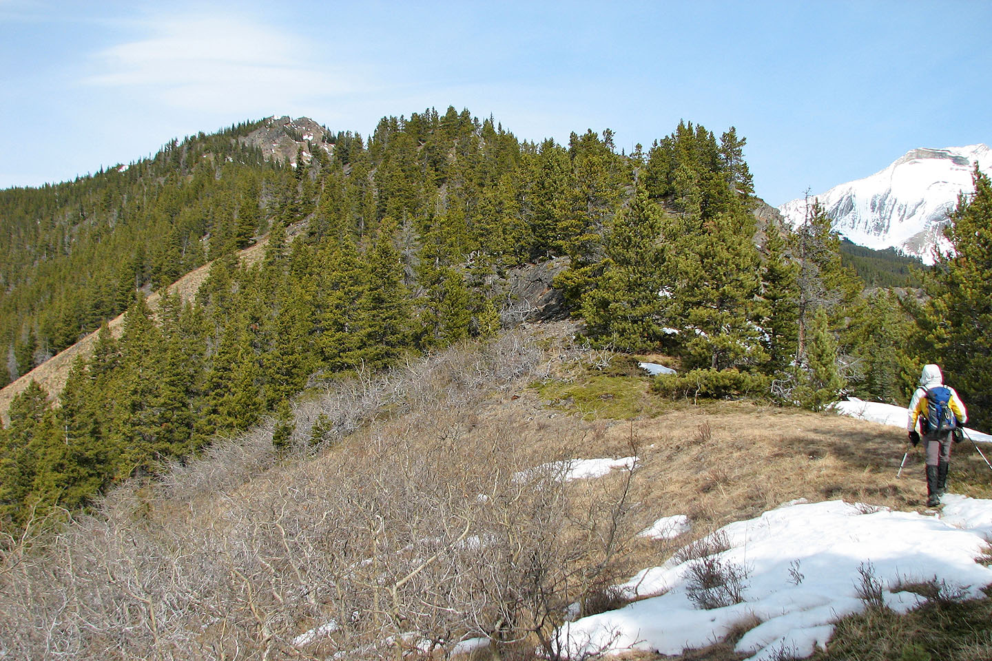
False summit ahead
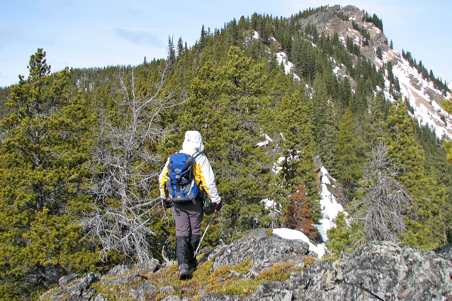
We get another glimpse of the false summit
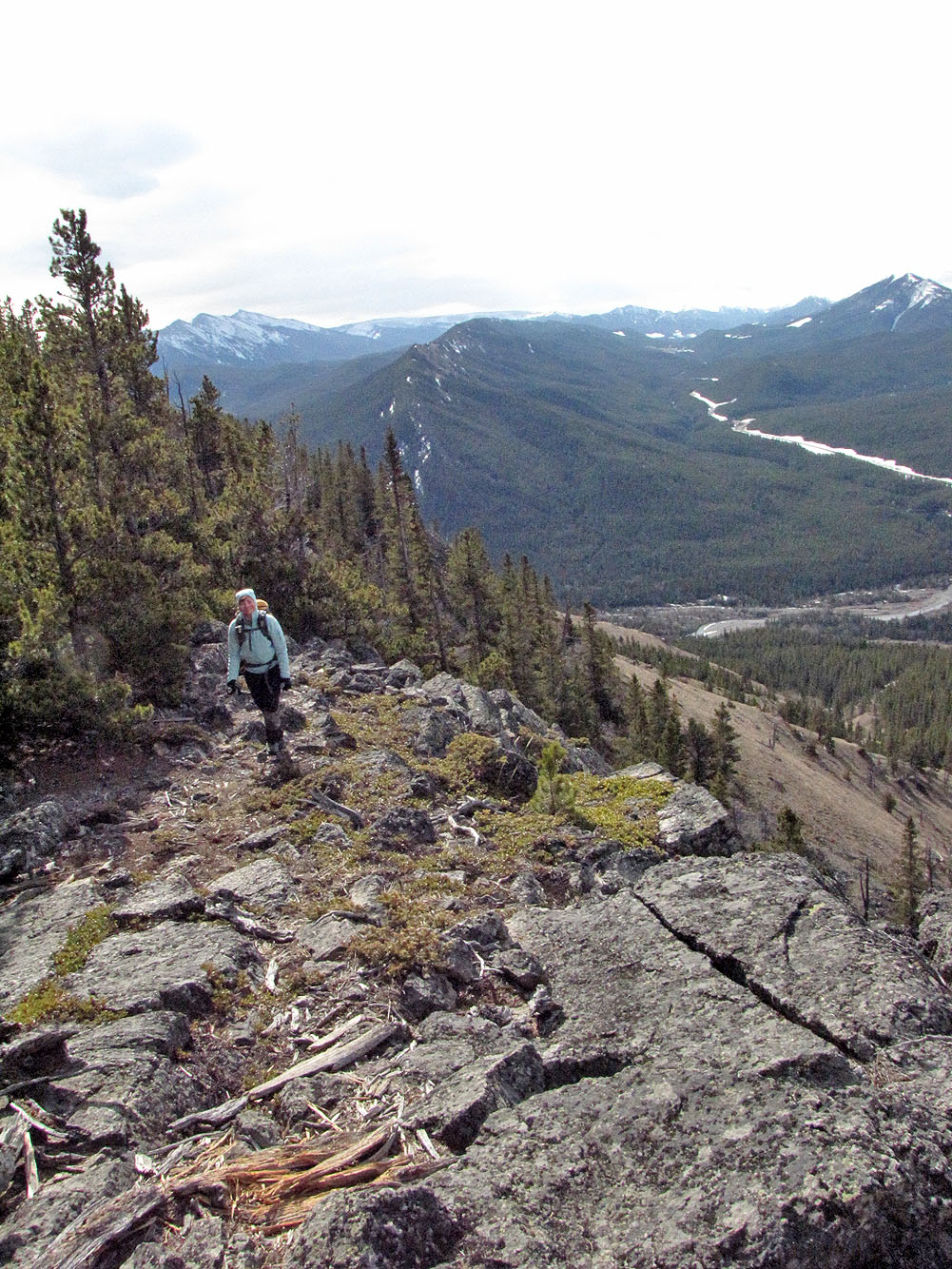
Looking back along the ridge
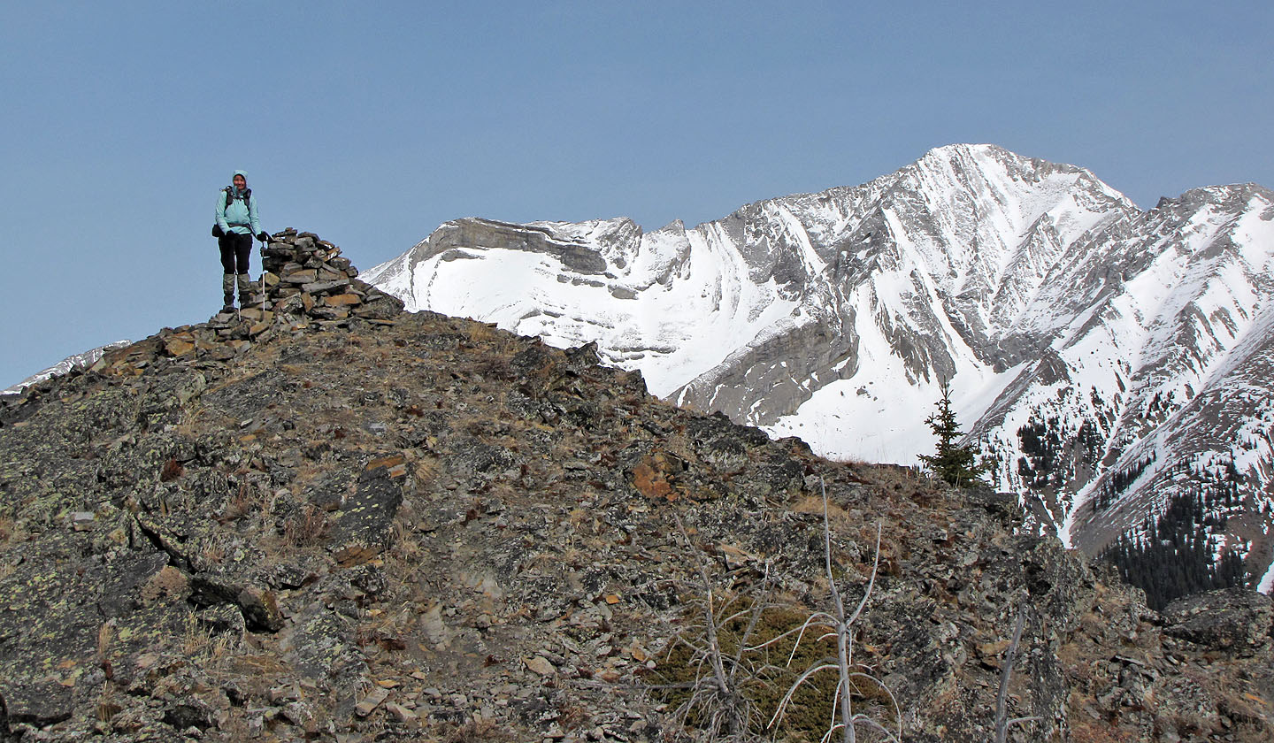
Both the false summit and the true summit (right) have cairns
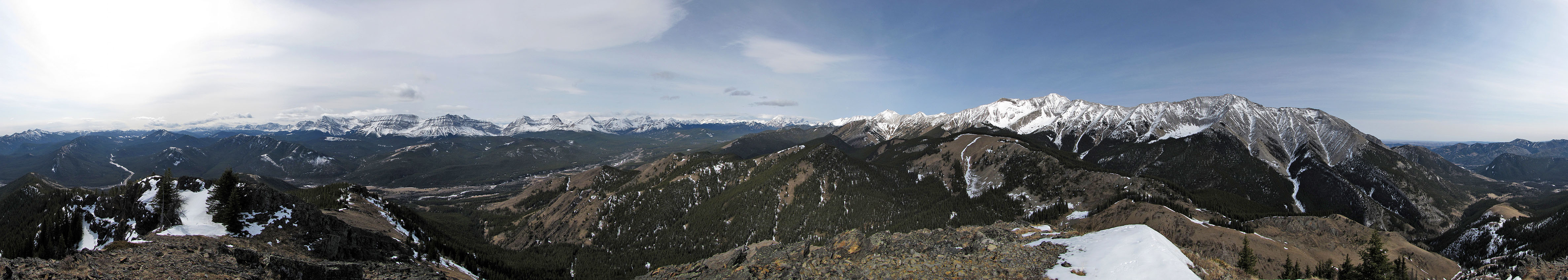
Looking northwest at unnamed peaks, including "Cat Creek Ridge" in the centre
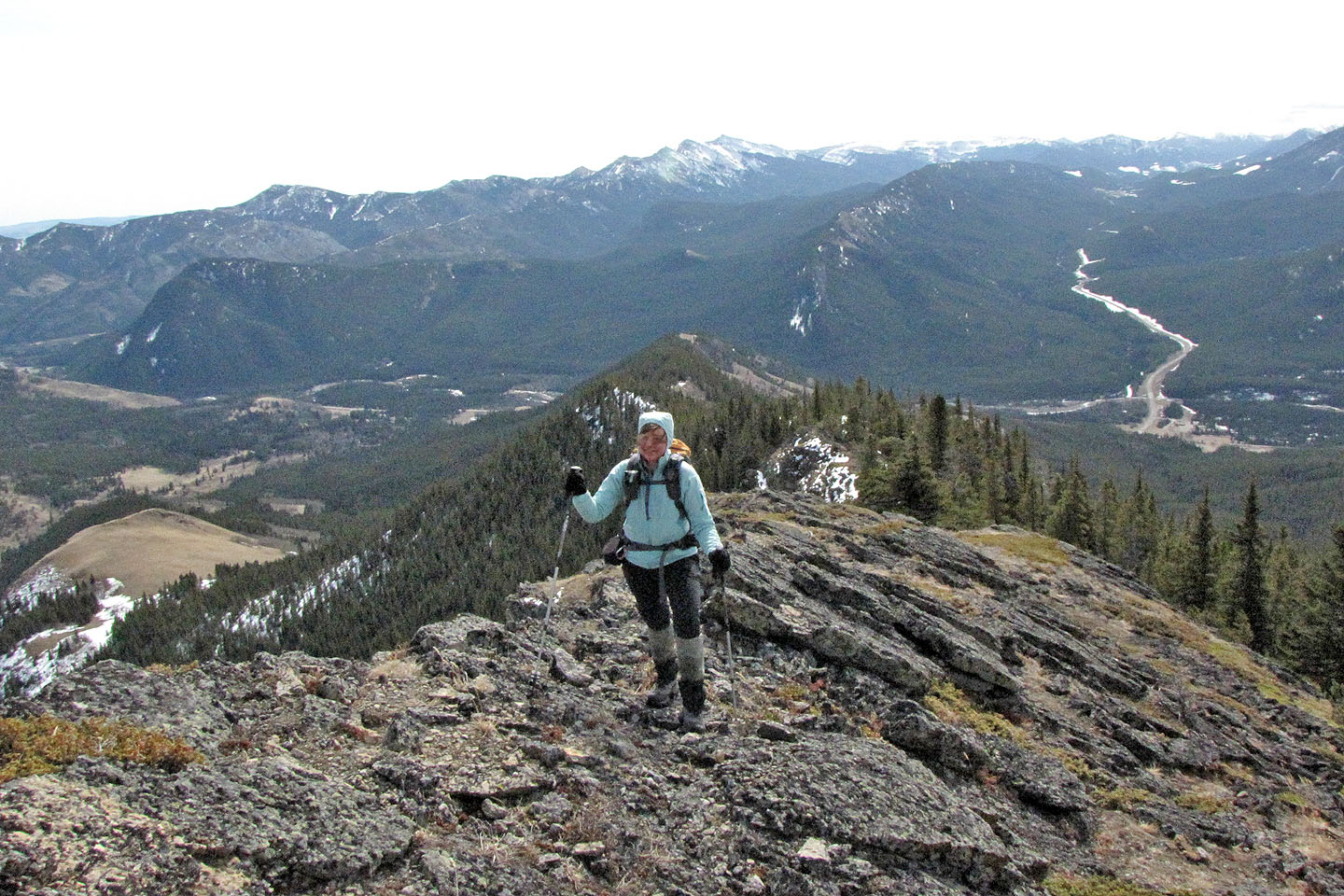
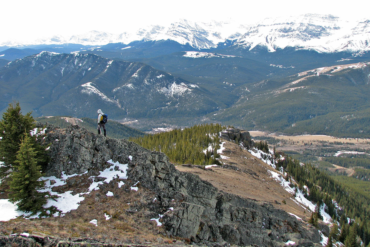
Dinah on the summit. Mount Head in the background.
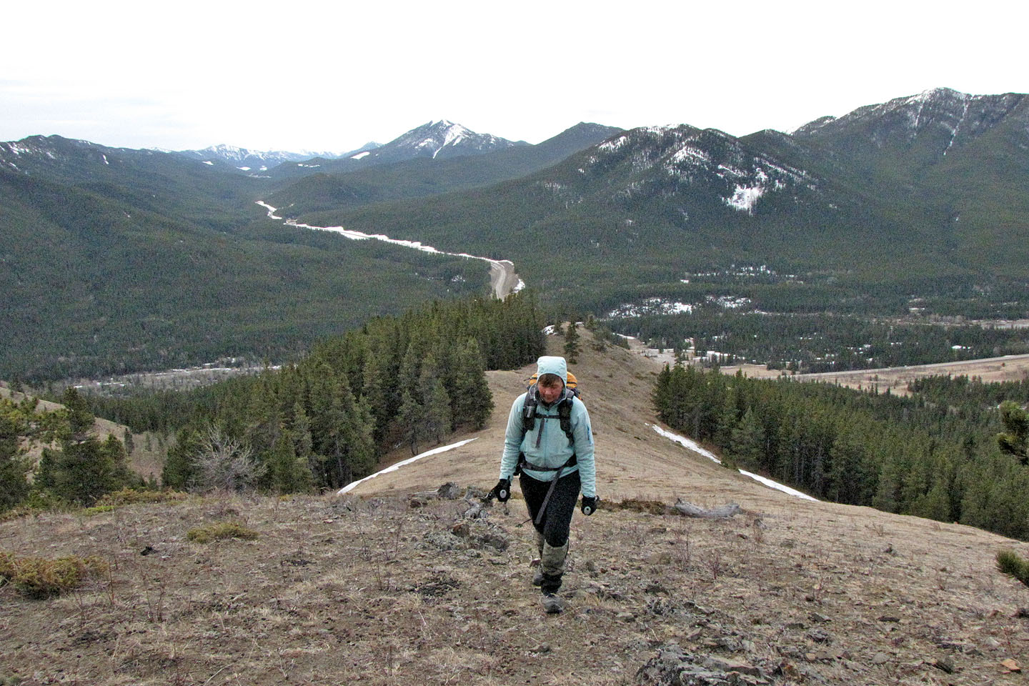
Heading down to the southwest ridge
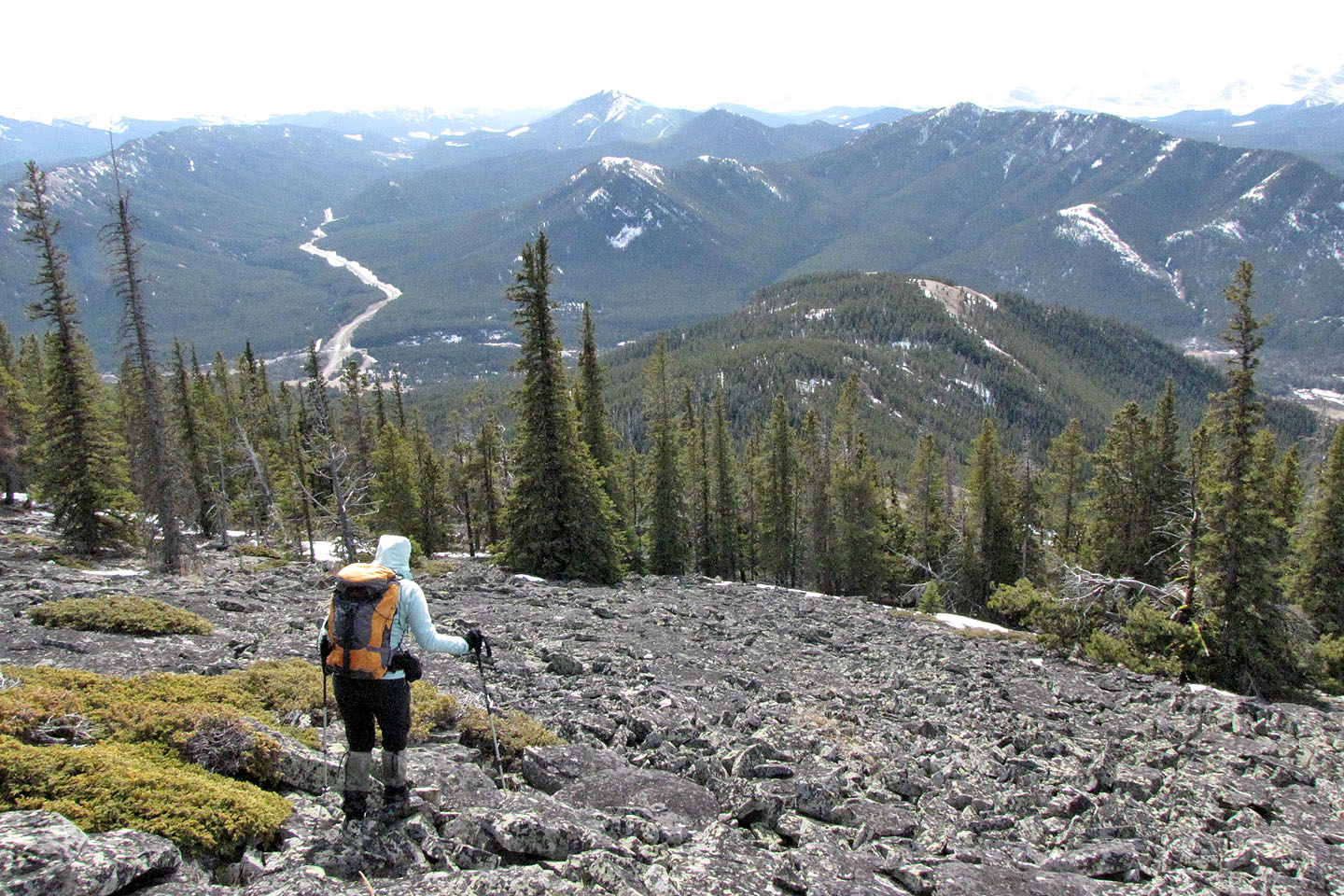
Crossing a rock field
82 J/7 Mount Head