bobspirko.ca | Home | Canada Trips | US Trips | Hiking | Snowshoeing | MAP | About
Boundary Peak via South Lusk Meadows
Kananaskis, Alberta
June 9, 2018
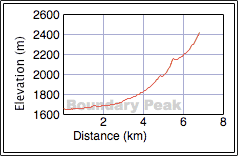
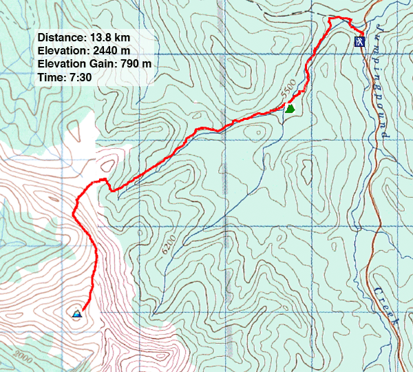
Distance: 13.8 km (8.6 mi)
Cumulative Elevation Gain: 855 m (2805 ft)
Boundary Peak can be reached using the same approach as Belmore Browne Peak, but it's an easier hike by way of South Lusk Pass. In fact, except for a short bog crossing, the approach is entirely on a good trail. I got the idea from reading South Lusk Pass in Kananaskis Country Trail Guide.
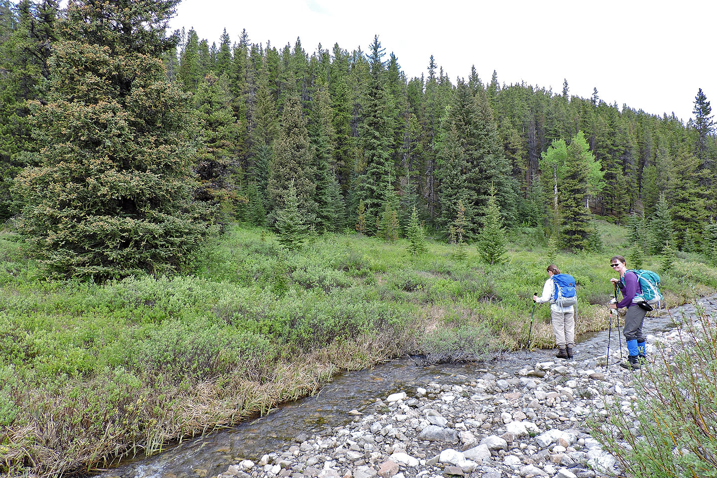
From Lusk Pass trailhead, Zora, Dinah and I hiked 500 m up the trail before turning onto a side trail. Following a creek, sometimes crossing it, the trail leads to a hunter's campsite. But don't follow the trail all the way to the camp; it runs through a watery bog which may be fine for horses but not us humans. Just before the camp, and metres before the last creek crossing, turn right onto a side trail. The side trail disappears after 100 m when it crosses the creek.
You can stay on the right side of the creek, go upstream a few dozen metres, and cross the bog on your right to pick up the trail. Or you can first visit the hunter's campsite like we did. We crossed the creek and followed the gravelly left bank until we came to a trail. The short trail leads to the camp 40 m from the creek.
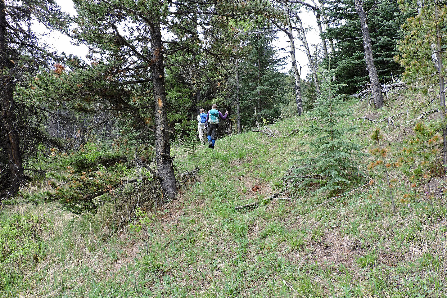
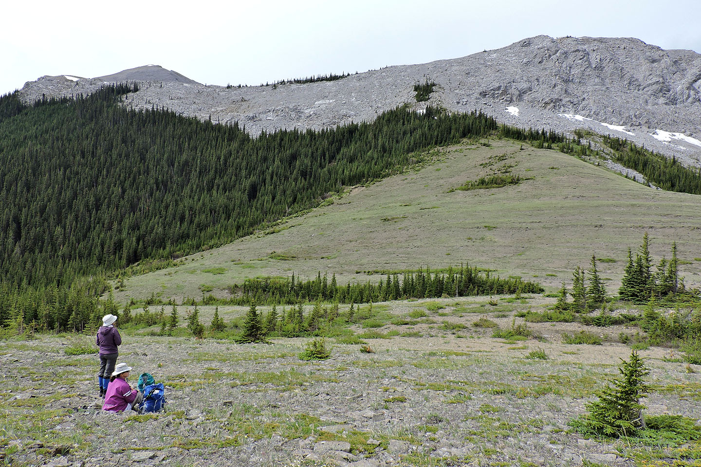
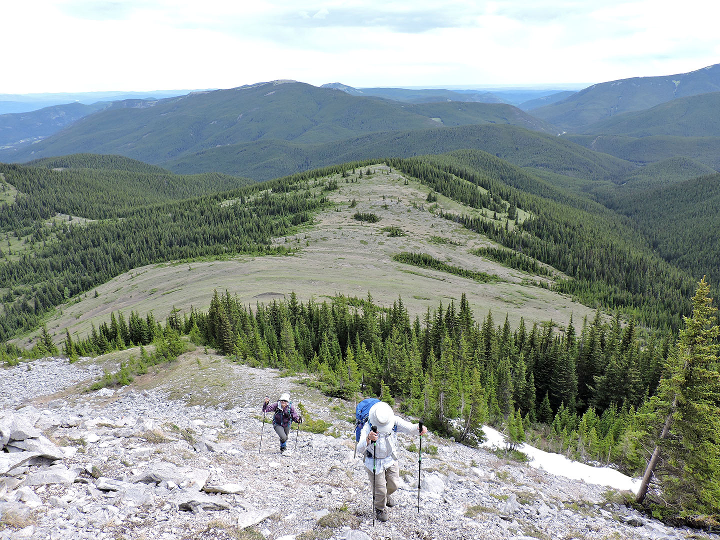
After seeing the elaborate campsite, we backtracked to the creek and crossed it. Then using tussocks – dry lumps of grass – we stepped carefully across the bog. Continuing upstream, we soon hit upon the trail. The trail meanders in the trees before settling on a long cutline. After emerging from the trees, the trail fades into a grassy slope. We hiked up to a broad saddle: South Lusk Meadows.
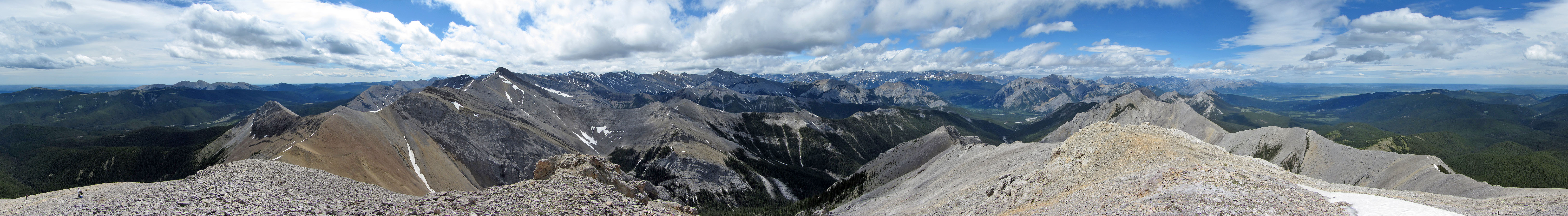
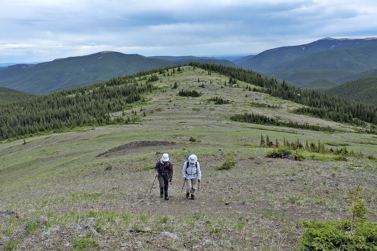
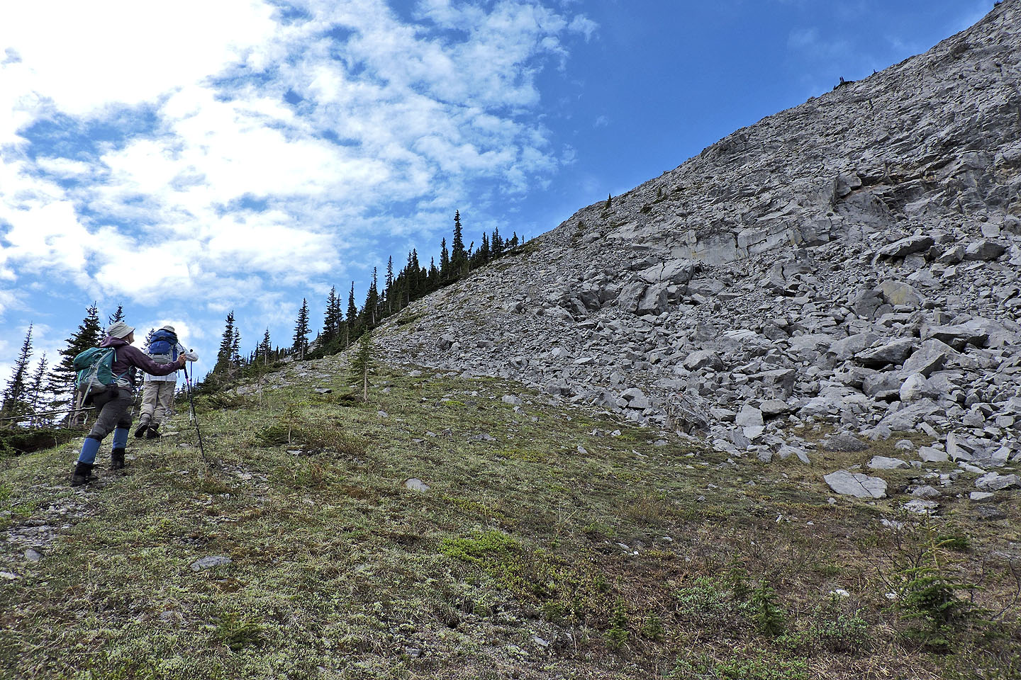
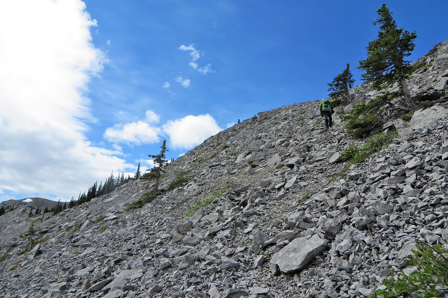
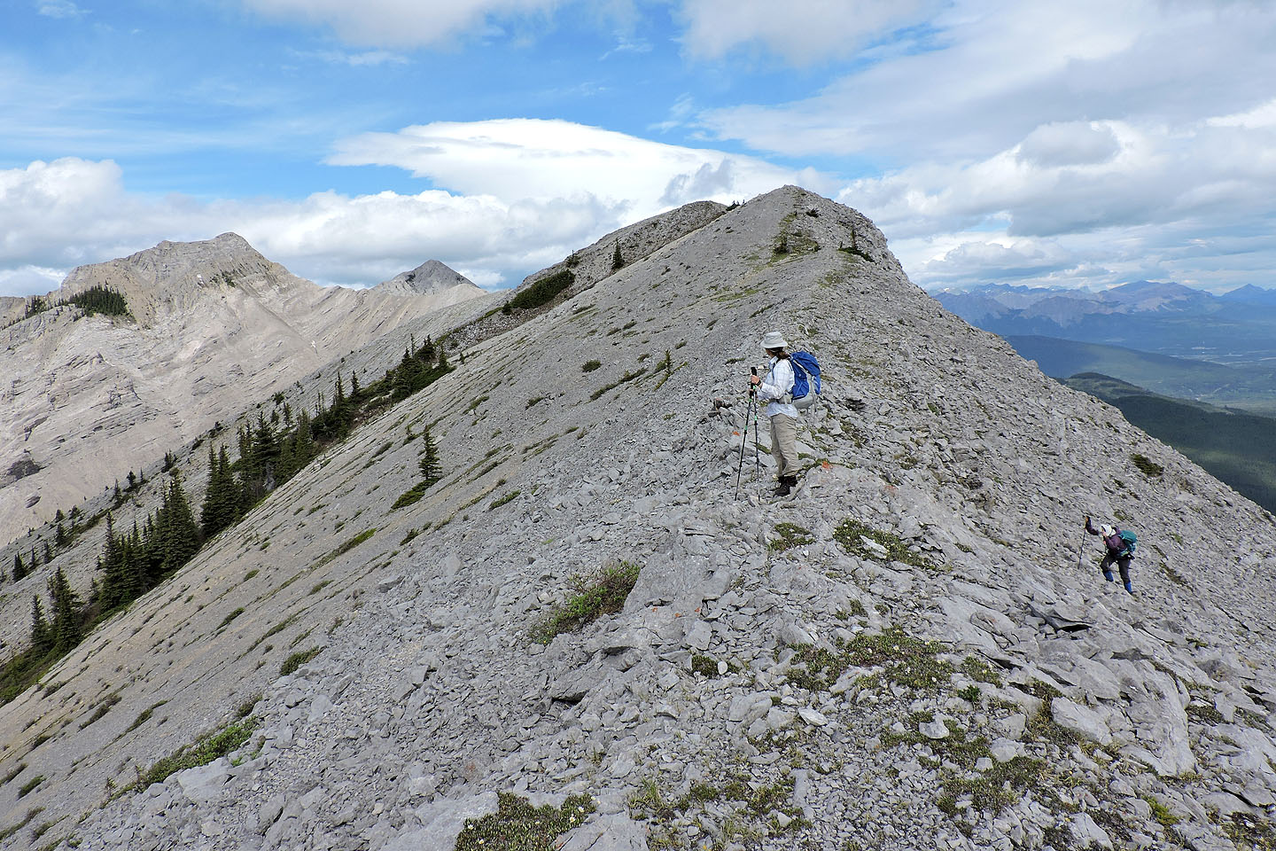
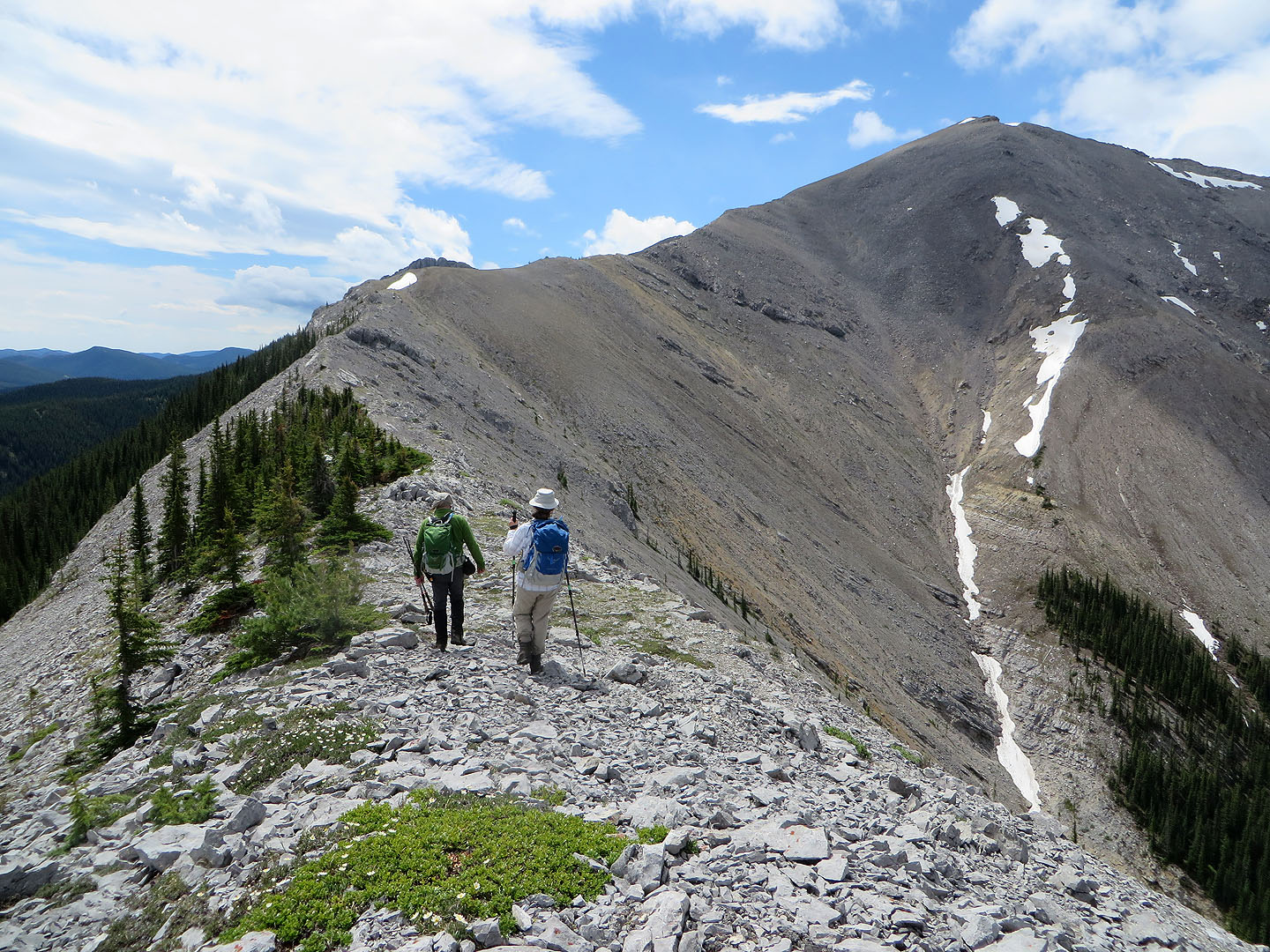
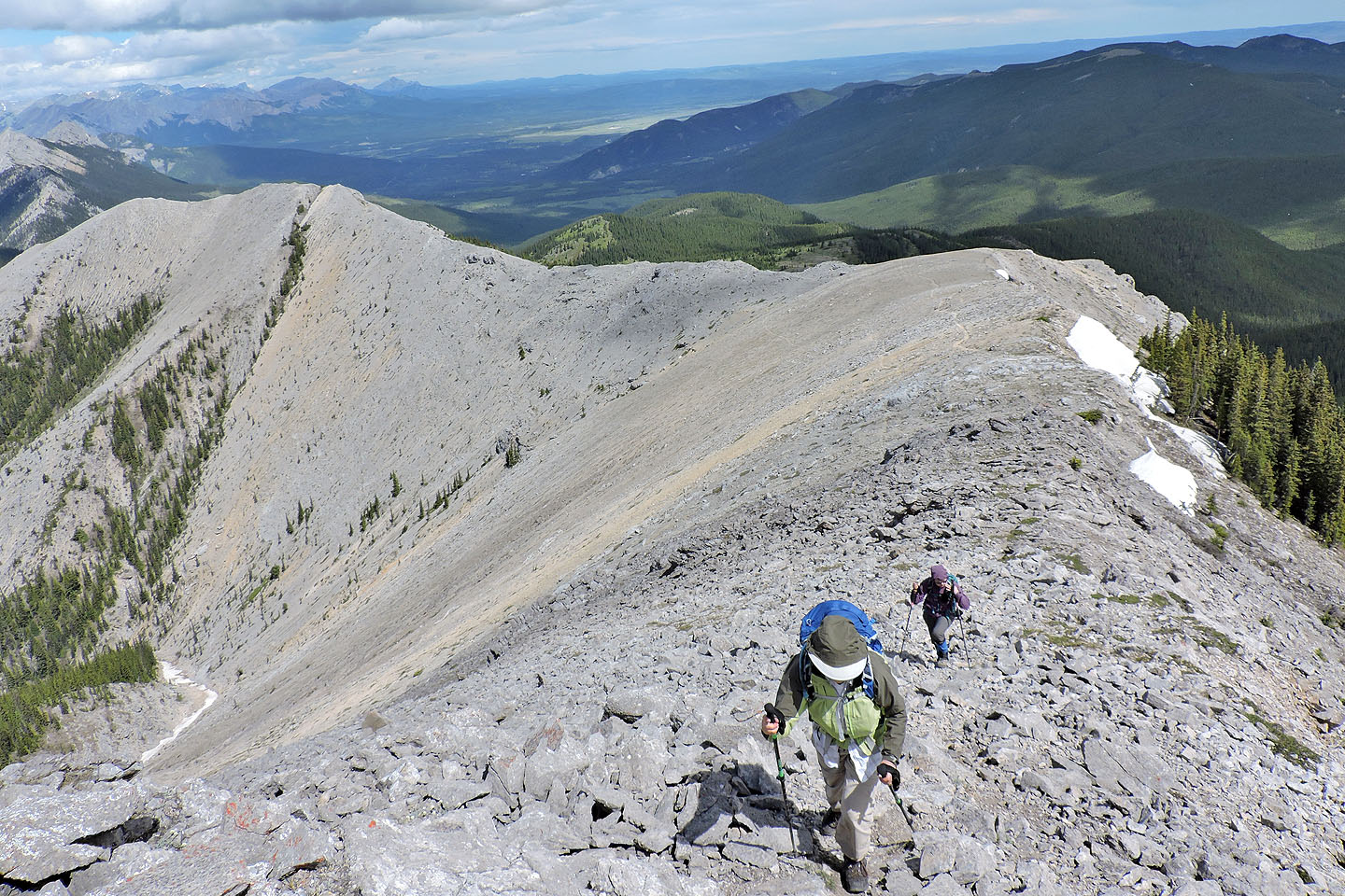
After hiking in the confines of a forest, the sweeping views from the meadows came as a surprise. After a break, we turned our attention to the rocky ridge ahead. We crossed the meadows, passed through a few trees and reached the bottom of a steep scree slope. We found a trail in the scree and climbed to the ridge. We followed the ridge trail easily to the summit.
As we lunched on top of Boundary Peak, we noticed two specks on the ridge below, hikers from Tiara Peak heading to Boundary Peak. Eventually they joined us on the summit. They were Mike Dodd and Kirsten Graf. They had turned back from Tiara when they hit loose rock and decided to climb Boundary instead. After chatting with them and spending an hour on the summit, Zora, Dinah and I headed back down. We followed the ridge back, but before dropping down to South Lusk Meadows, we continued to a minor high point on the ridge. From there we had a final, grand view of Boundary Peak.
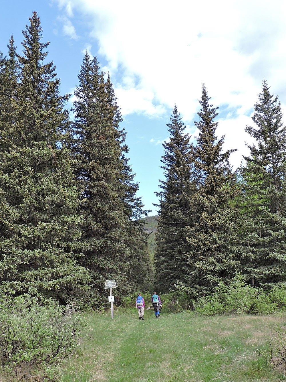
Lusk Pass trailhead
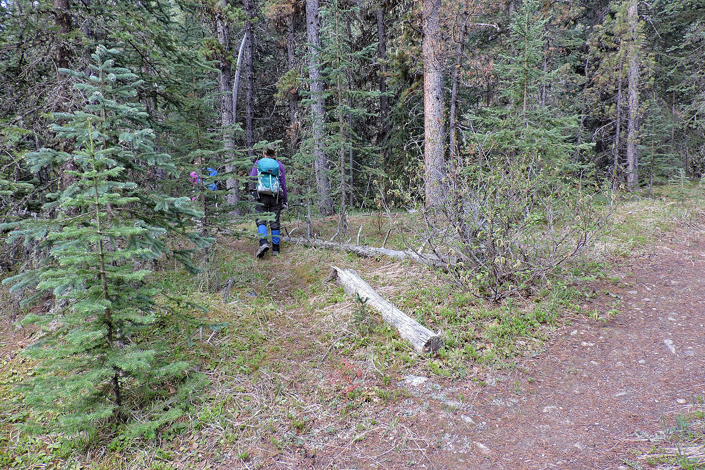
Turning onto the side trail to the hunter's campsite
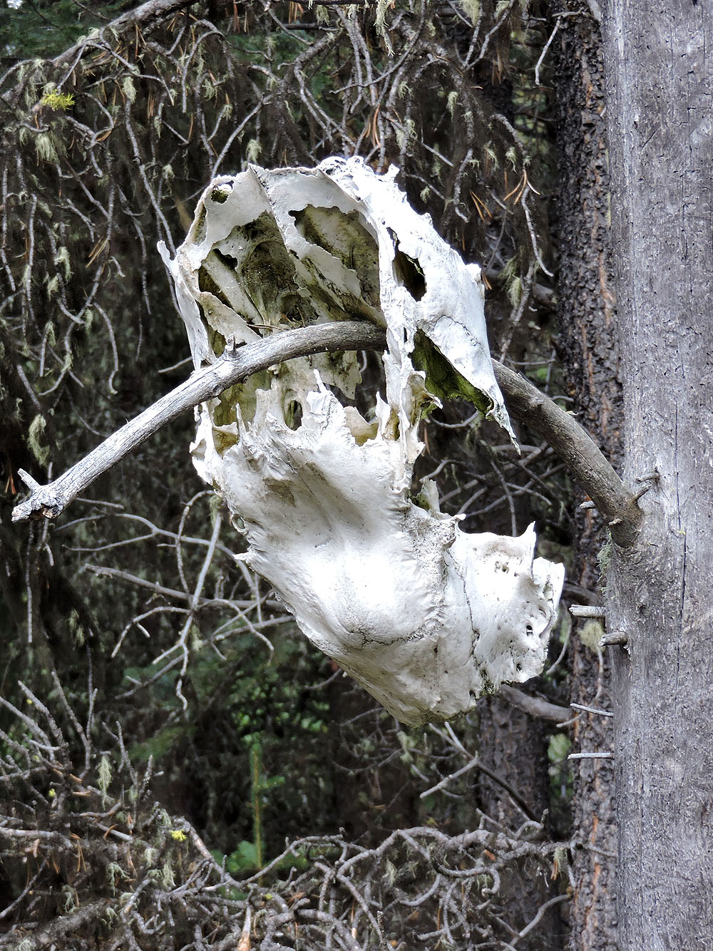
What appears to be a bear skull hangs from a tree
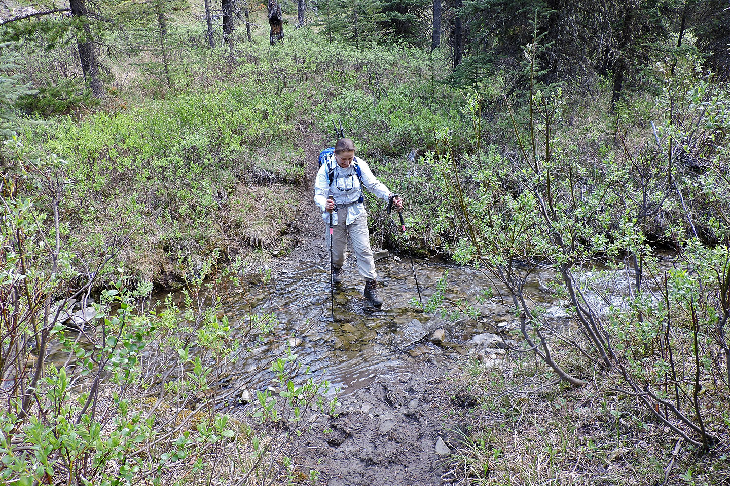
First of a few creek crossings
Just before the camp, before the main trail crosses the creek, we took a side trail on our right. Soon after this point, one can go left and cross the creek to the camp, or go right, through a bog, and get on the trail.
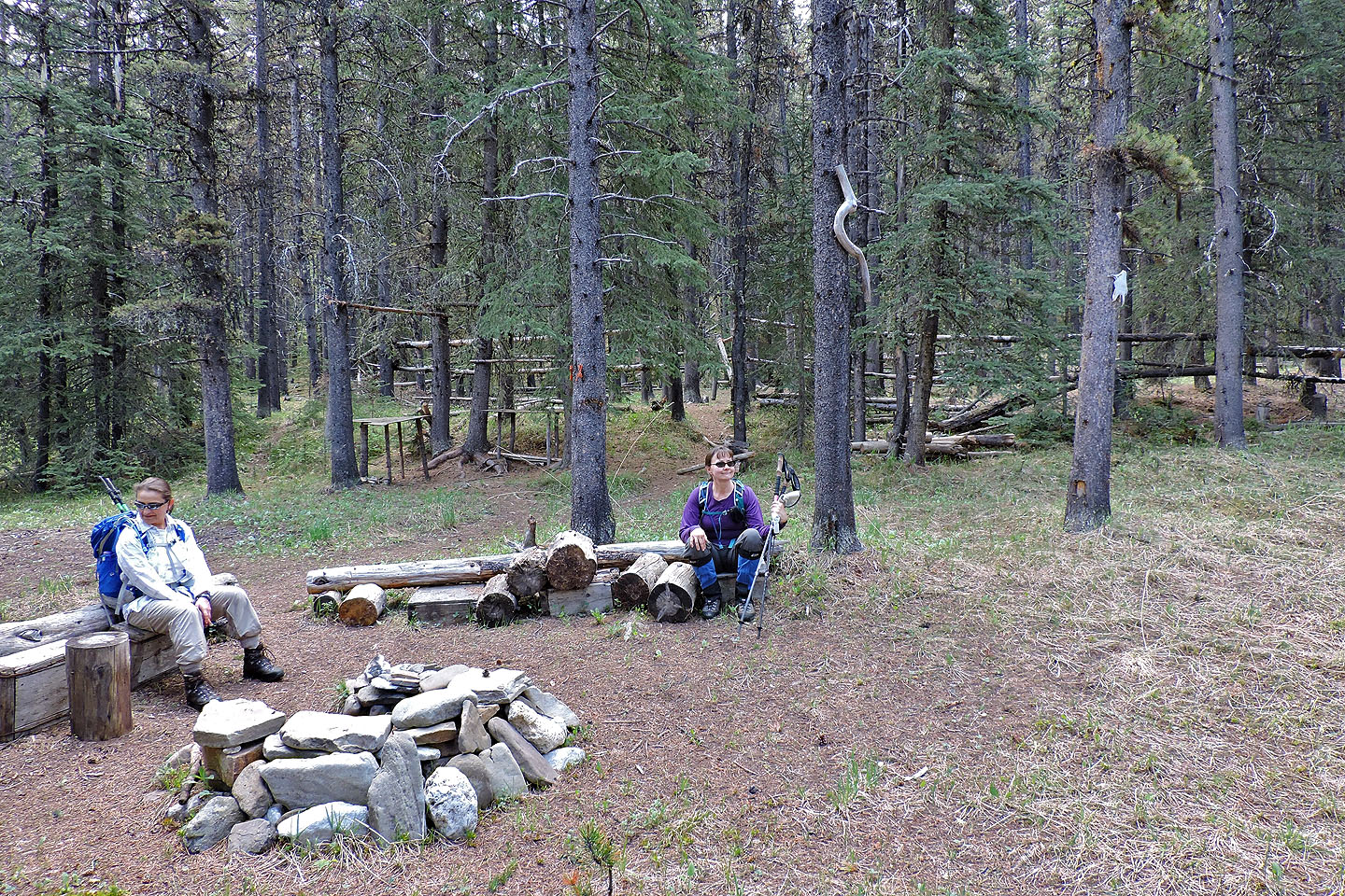
The extensive campsite is just 40 m from the creek and worth visiting
Zora prepares to cross the creek. On the other side is a bog.
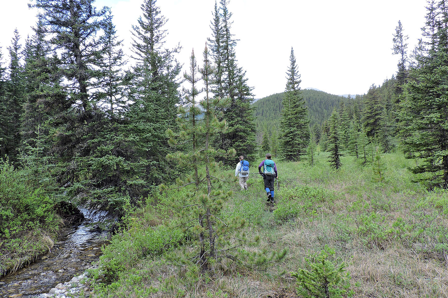
After crossing the bog and going upstream a short distance, we found a faint trail
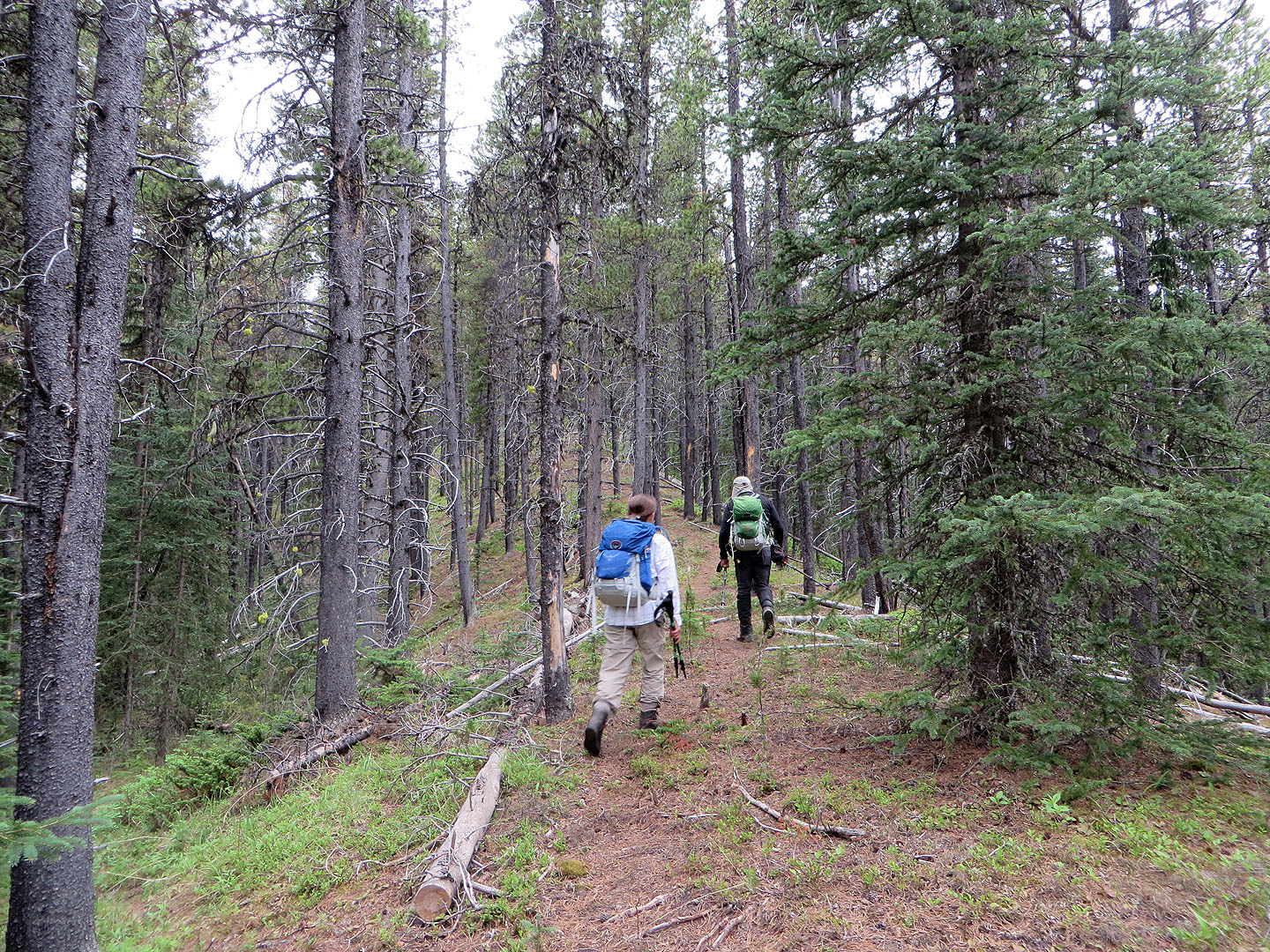
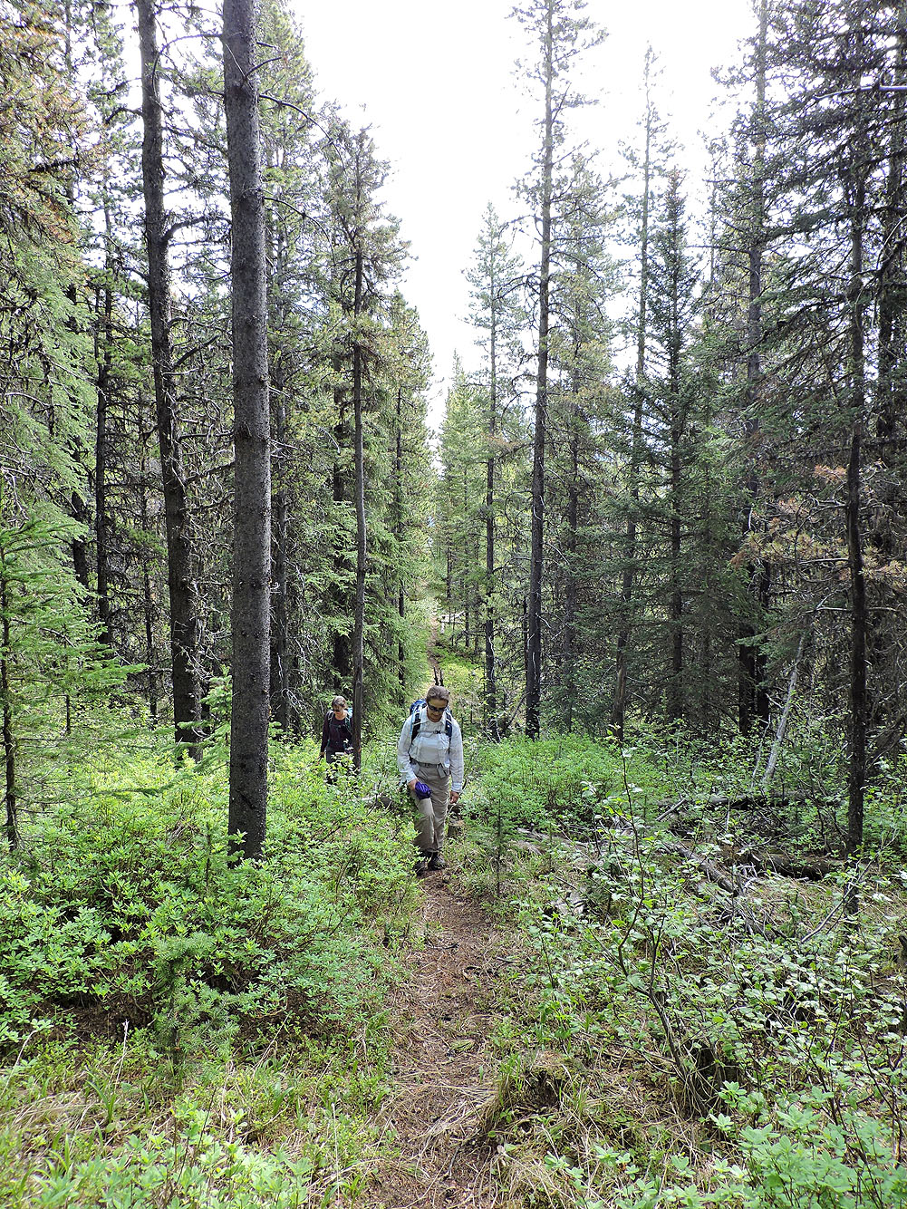
The trail soon became better defined
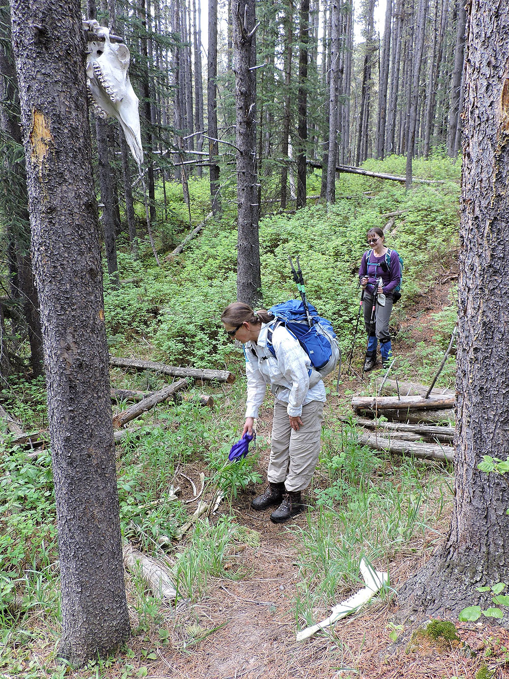
Looking at the skeletal remains of a large mammal, perhaps an elk
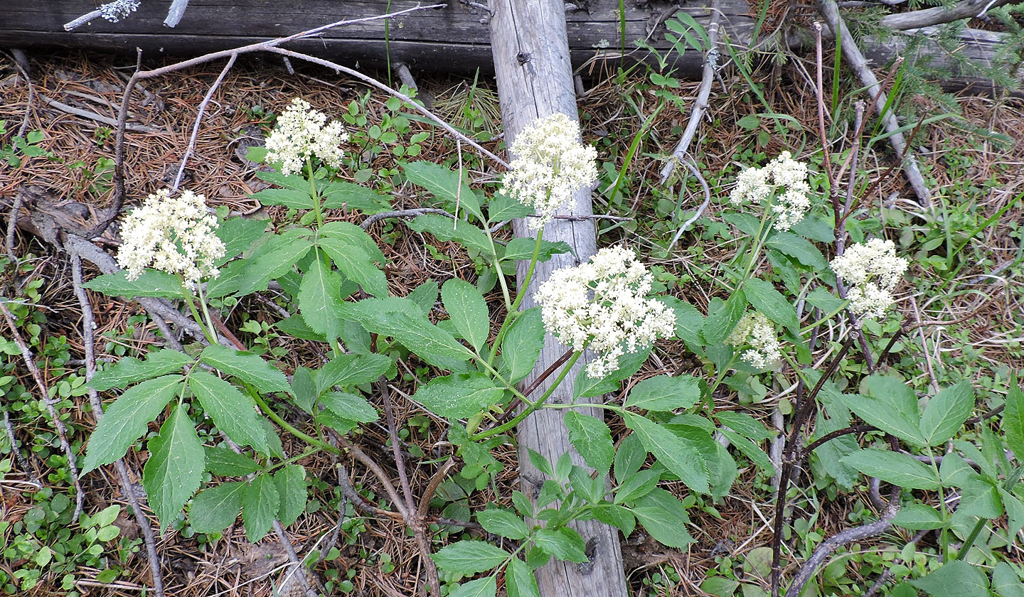
Wild heliotrope
The trail runs up a cutline
The trail disappears on a grassy slope below a saddle
The minor rockband ahead is easily climbed
From South Lusk Meadows we'll gain the ridge by climbing right of the isolated stand of evergreens in the scree
(mouse over for the route). Boundary Peak is on the left.
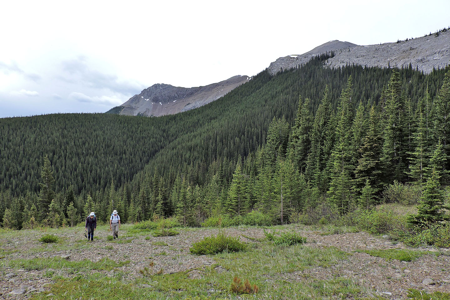
Hiking up the meadows
To the north are the three summits of Mount Baldy
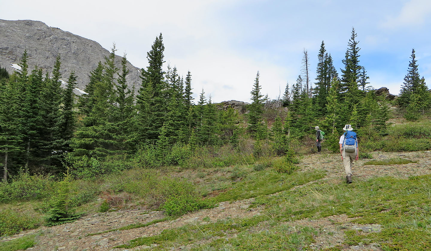
We headed to the stand of trees ahead
Looking back at the meadows
We followed a trail in the scree
On the ridge, Zora looks at Midday and Midnight Peaks
We followed the long ridge to the summit
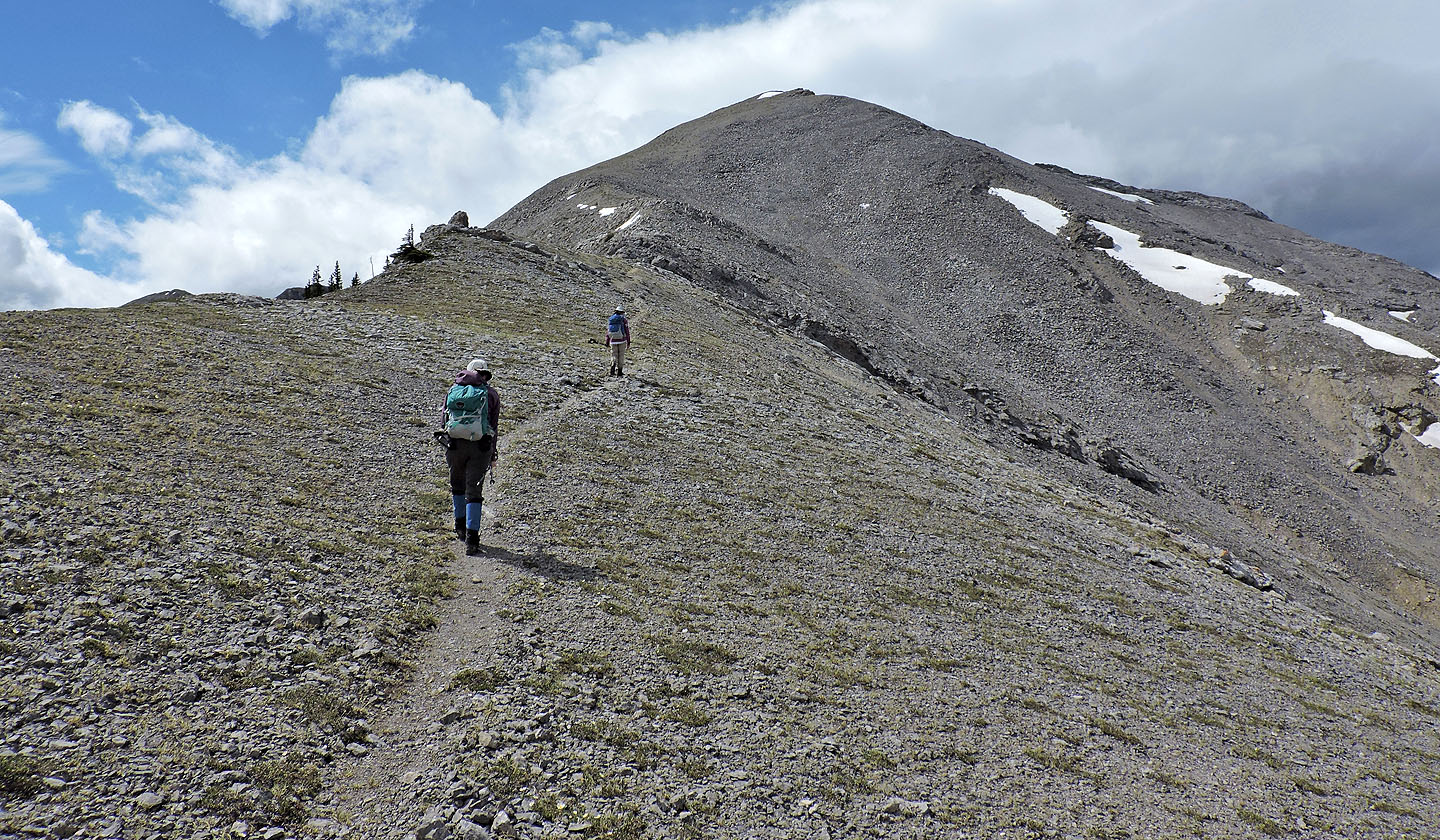 Along the way, there's a nice stretch of trail
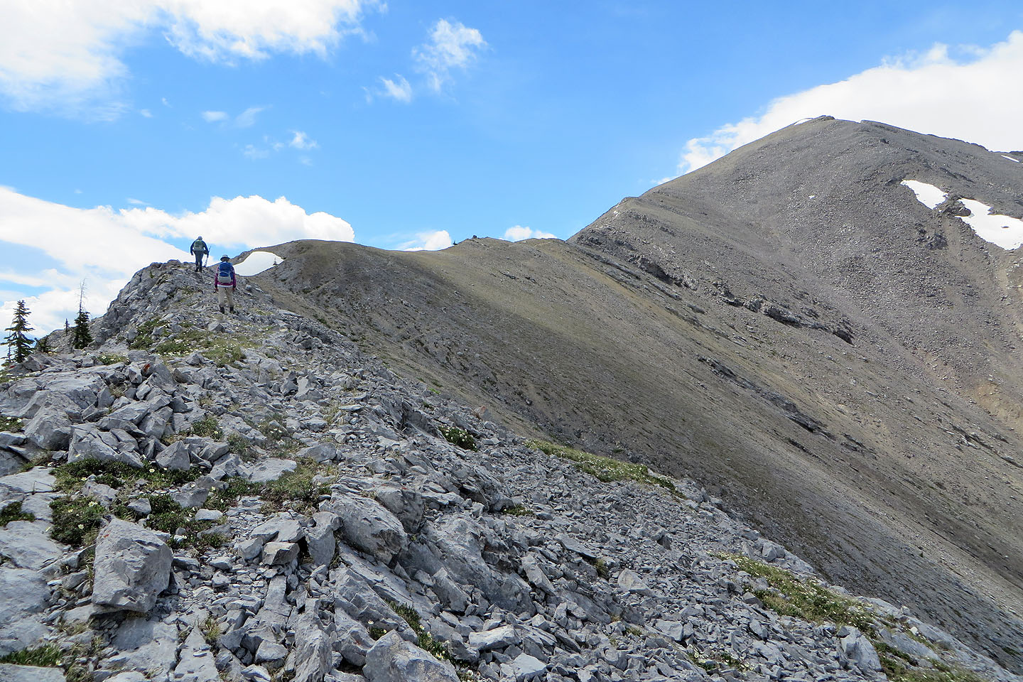
The ridge levels off before a final steep section
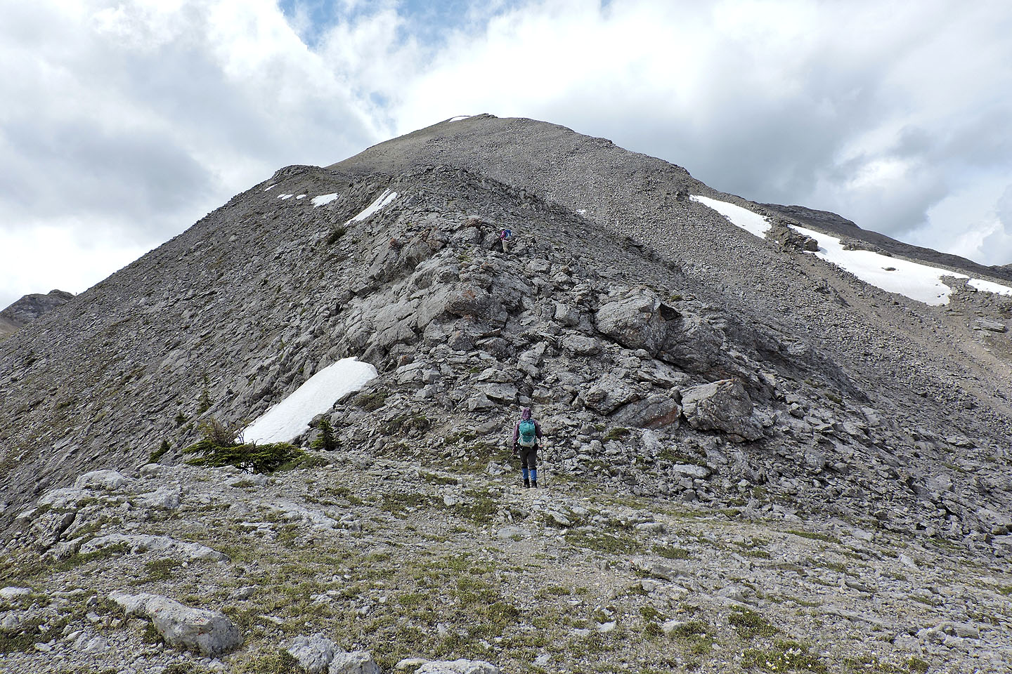 Above the boulders, it's a scree slog to the summit
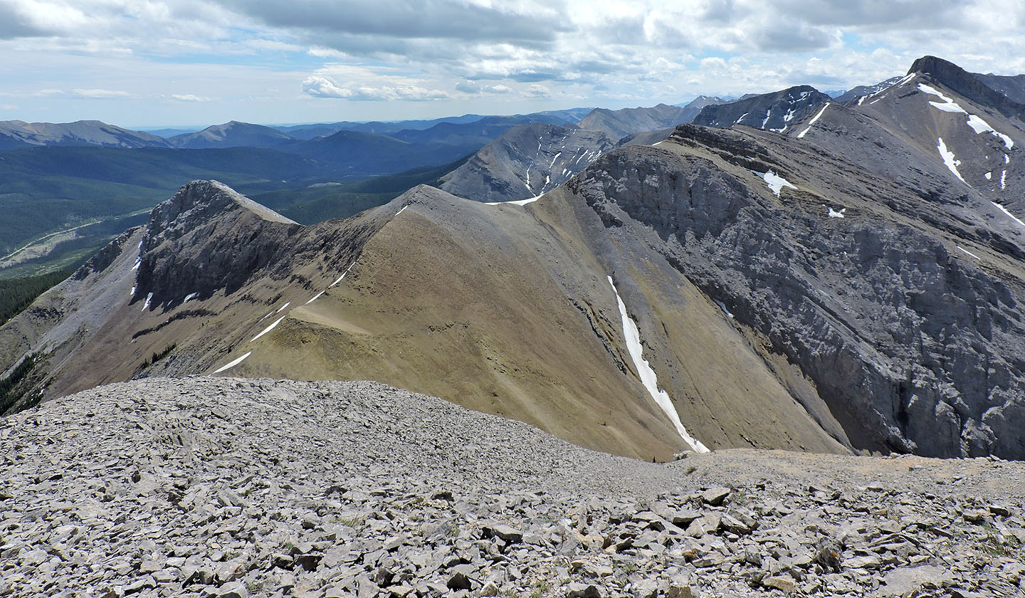
Looking back along the ridge
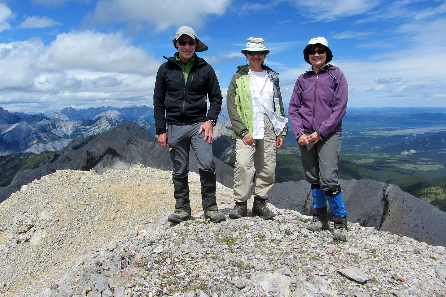
Standing on Boundary Peak
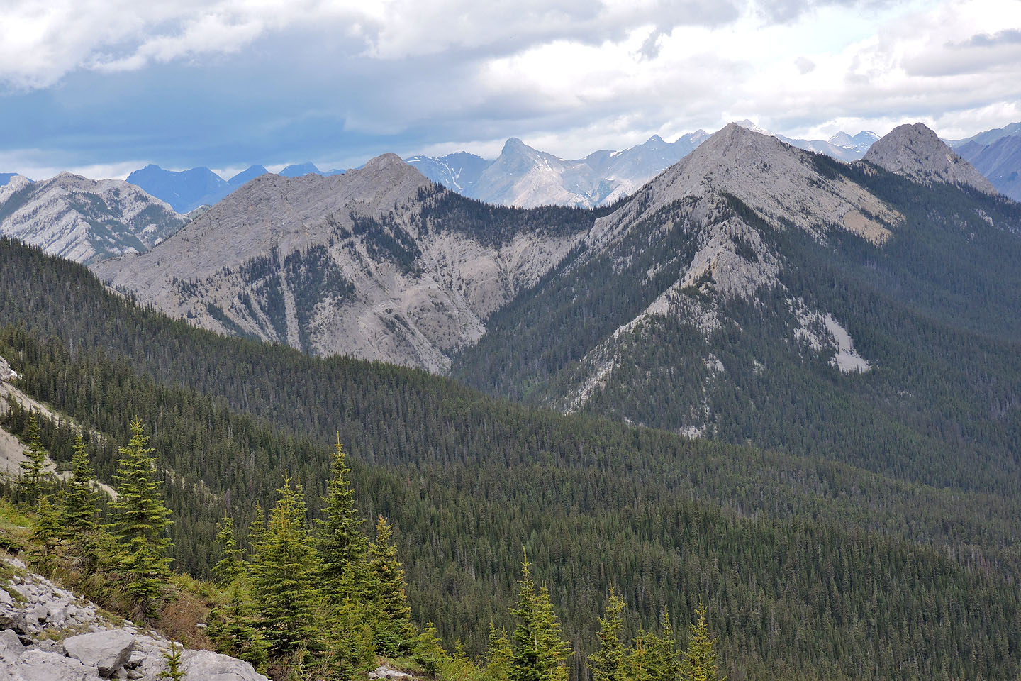
View from the summit: Belmore Browne Peak is lower left, and Tiara Peak is far right
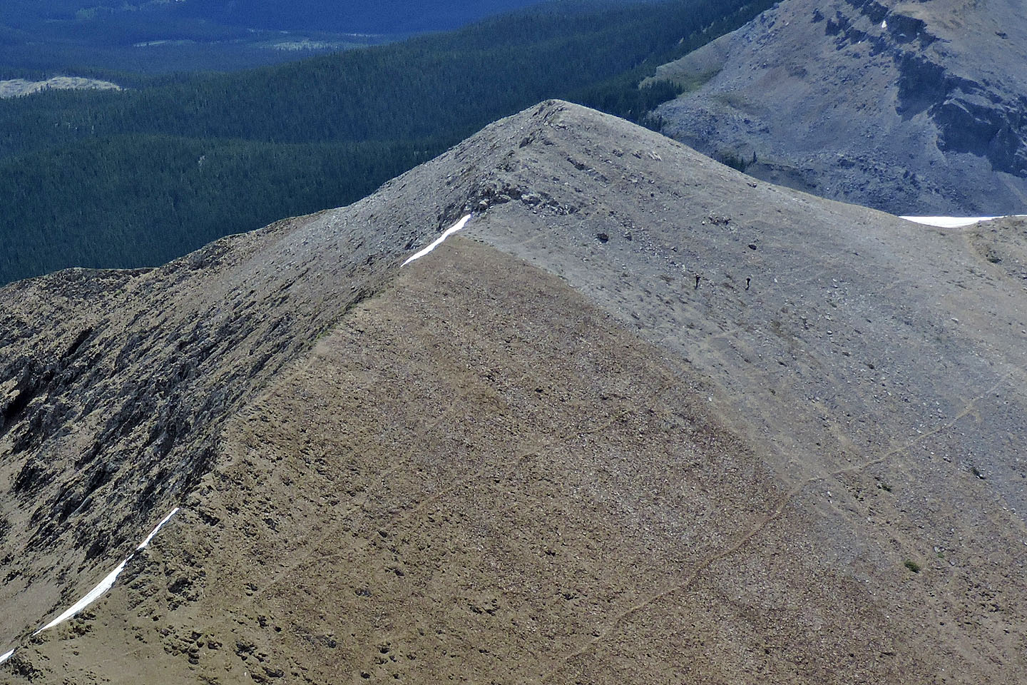
Mike and Kirsten are two specks in the gray scree below a high point
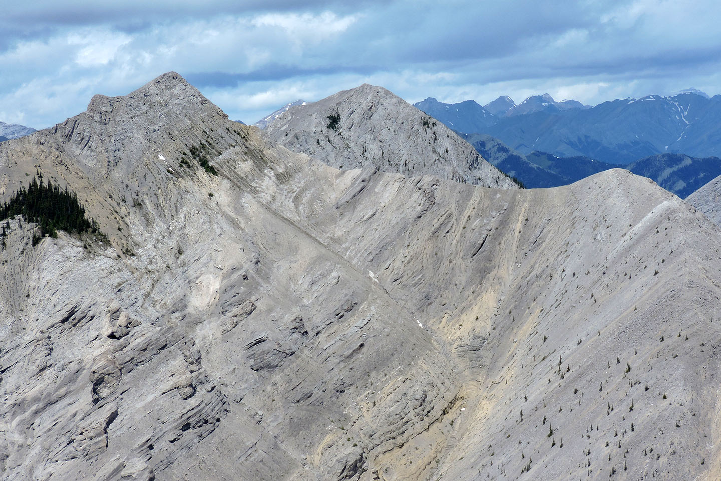
Midday Peak and Midnight Peak
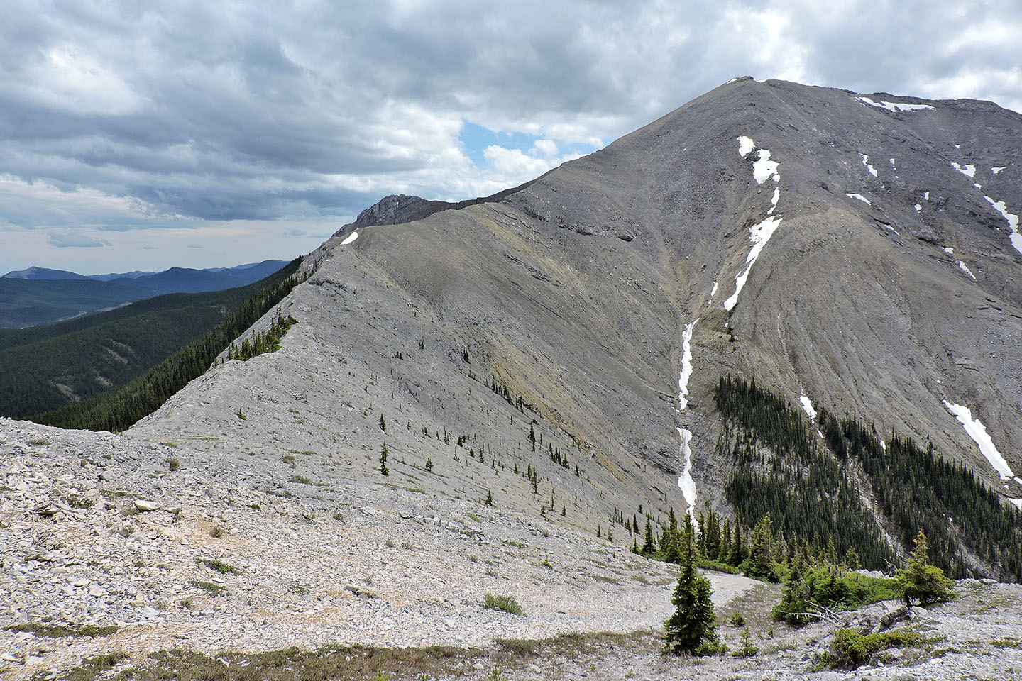
A parting shot of Boundary Peak taken on the way back after climbing a high point on the ridge
82 J/14 Spray Lakes Reservoir, 82 J/15 Bragg Creek