bobspirko.ca | Home | Canada Trips | US Trips | Hiking | Snowshoeing | MAP | About

Midnight Peak
Scrambling Route (See Northeast Ridge trip for hiking route)
Kananaskis, Alberta
November 5, 2005
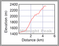
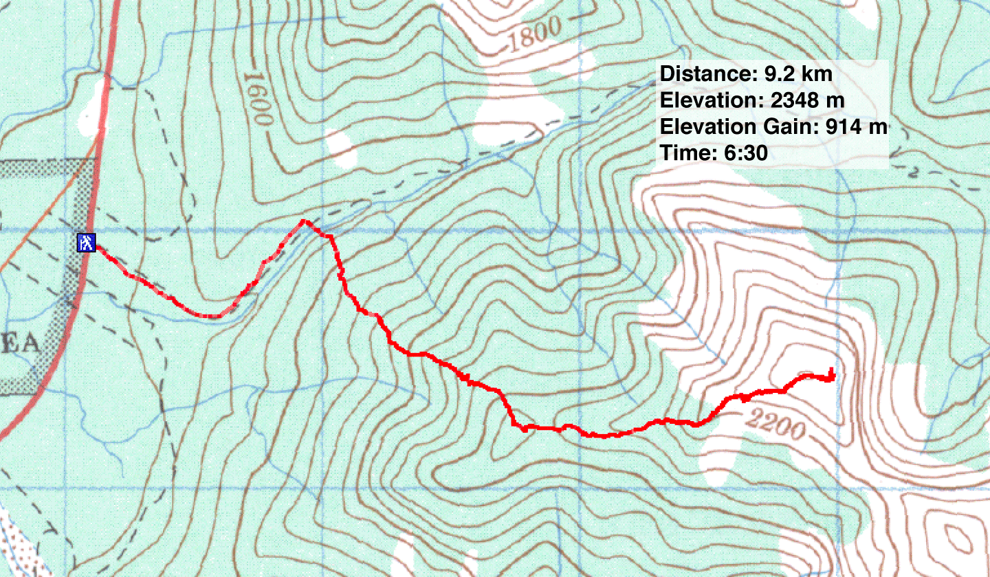
Distance: 9.2 km (5.7 mi)
Cumulative Elevation Gain: 1014 m (3327)
We first climbed Midnight Peak last June using the North Ridge route via Baldy Pass. The ascent was straightforward, but the weather was socked in that, day and we could see little. I wanted to return on a nicer day using a different route: the west ridge. The trip was largely an offtrail hike, but a few easy scrambling sections added interest.
We parked 500 m south of the Baldy Pass parking lot and used the cutline as a shortcut to Baldy Pass Trail. After hiking for about 20 minutes, a likely ascent ridge came into view. It was treed save for small clearings high up. After leaving the trail, we aimed for the nearest clearing.
The bushwhacking was light, but we were glad to trade the forest canopy for the blue sky when we reached the clearing, although we also exchanged calm air for a stiff wind. We continued climbing and soon reached a rock spine. I scrambled parts of it while Dinah easily skirted around the rock. We eventually topped out at the west end of the ridge. This granted us a good view of the ridge leading to a false summit. The true summit is only minutes away from the false summit.
After taking photos from the top of Midnight, we had to decide how to return. The quickest way would be via the pass, although the Baldy Pass trail was hardly inviting in the gloom of trees. We started down but decided to turn back when we hit hard snow on the steep slope. It wasn't worth the effort or the risk to descend this way.
As we retraced our steps back to the summit, Dinah called out to me. I looked up to see a raven suspended in the air not ten feet away from her as if studying her. The strong wind allowed it to hover almost motionless. As I reached for my camera the bird peeled off, and the wind carried it away. A moment later it reappeared even closer for another brief inspection of Dinah before disappearing. Then we continued down. Returning along the ridge in the sunshine was just as enjoyable as climbing up it.
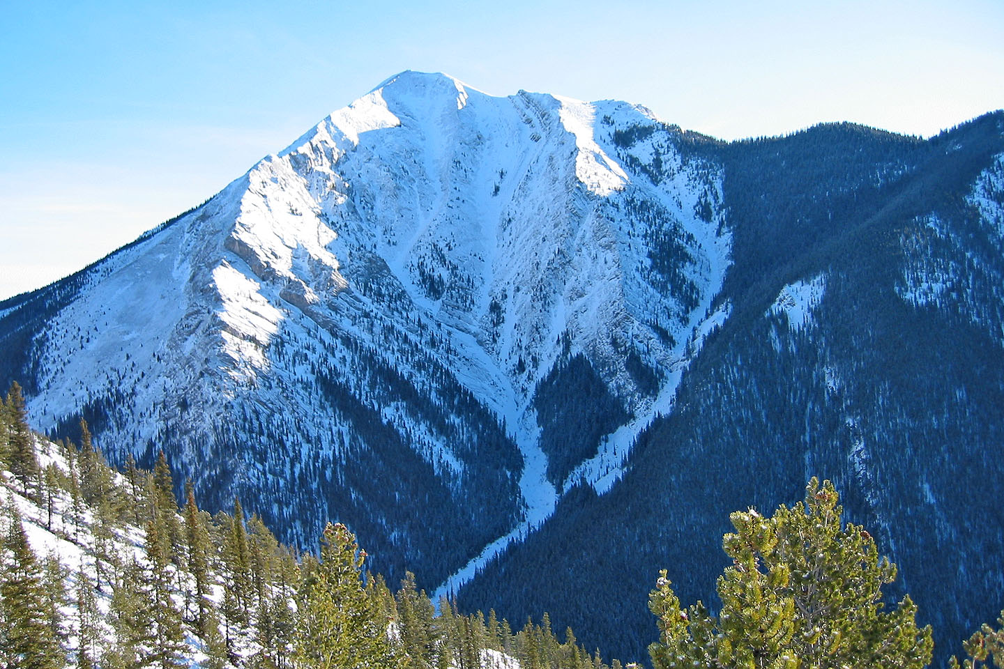
Midnight Peak seen from the lower south slopes of Mount Baldy
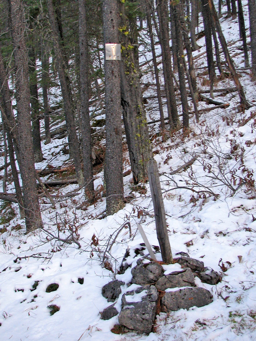
Mysterious marker on the ridge. The number "1249" was stamped on the
aluminum plate, engraved on the metal stake and carved in the wood
post (mouse over for a close-up)
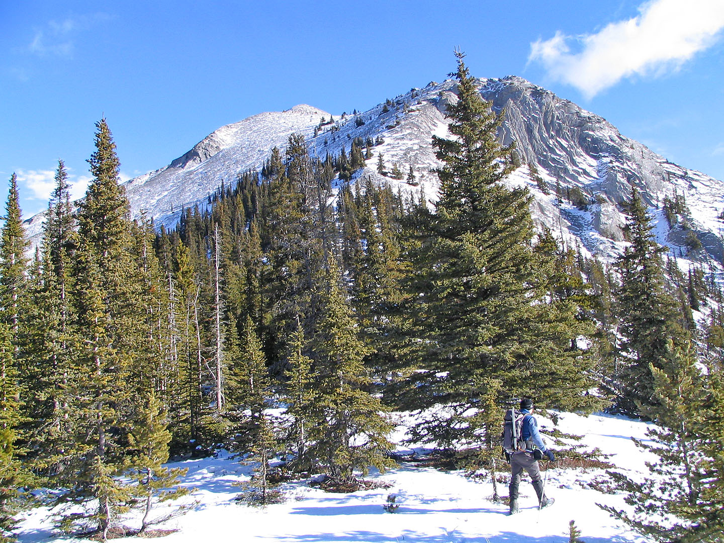
We were glad when the trees began to thin
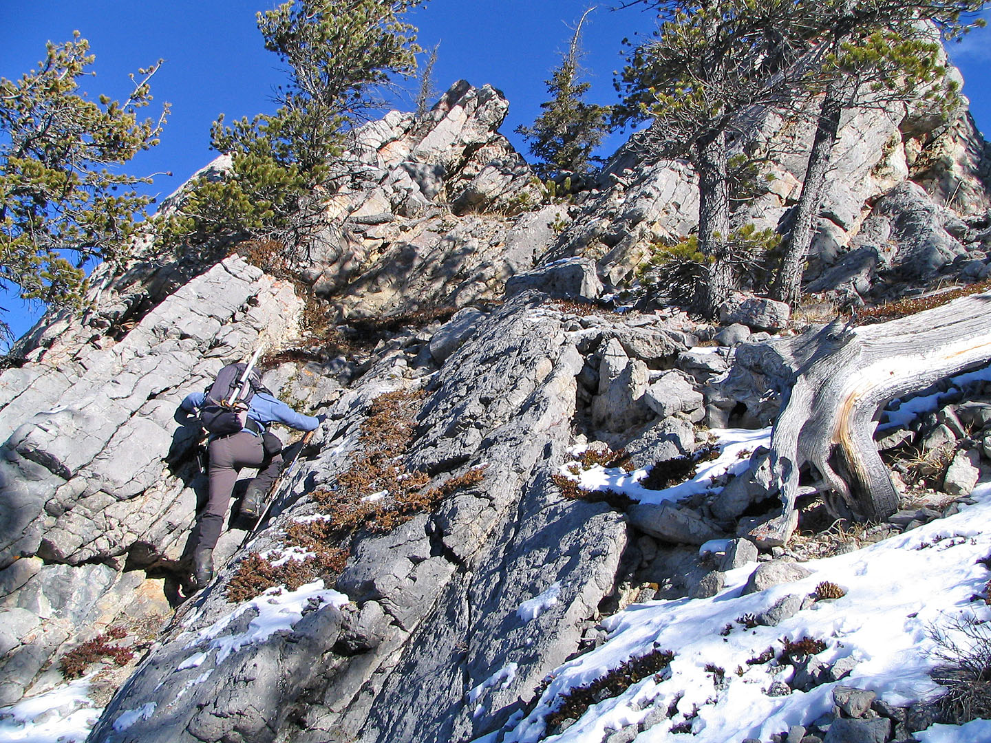
Excellent rock for scrambling on the rock spine
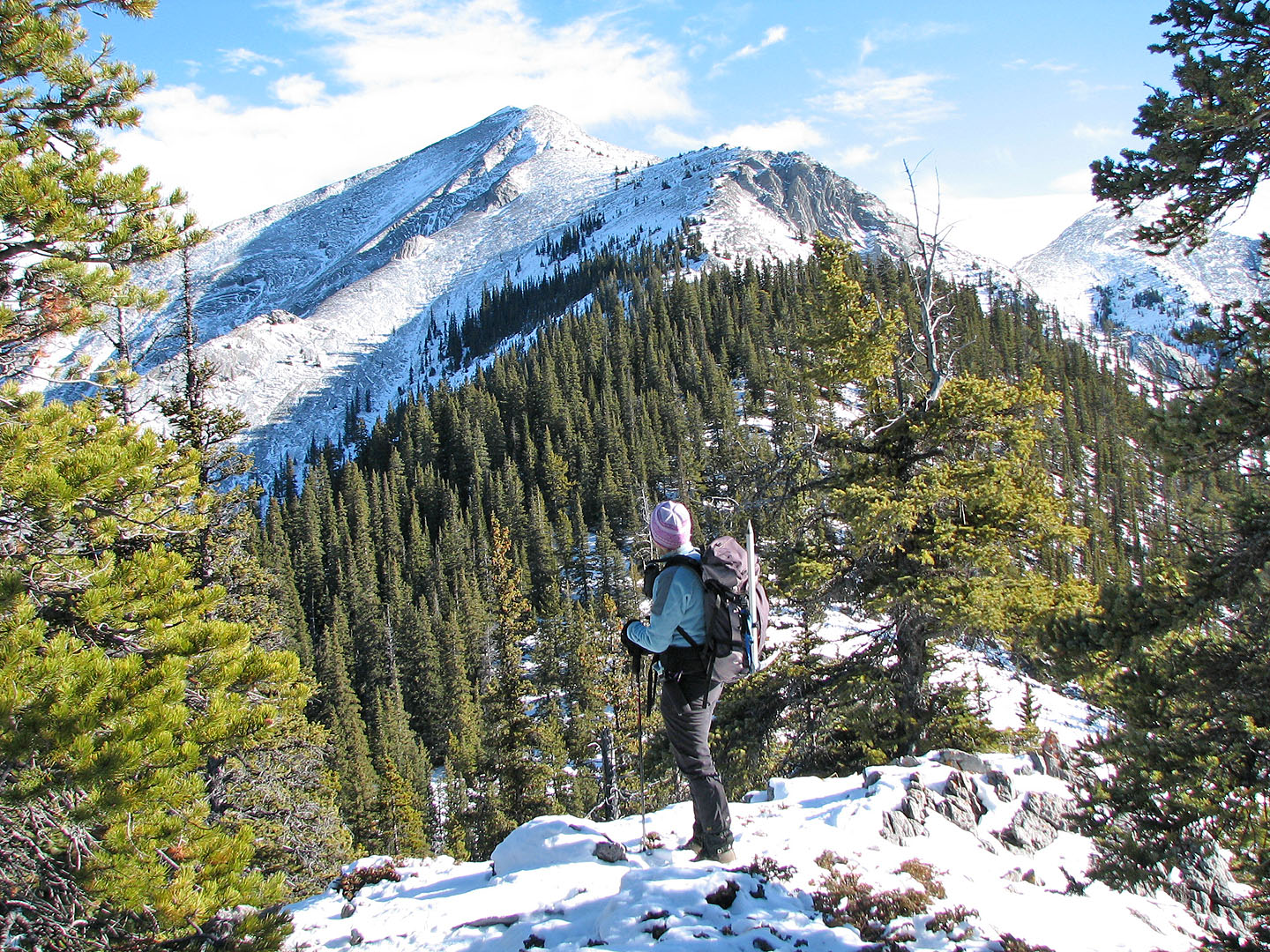
View of the false summit from the west end of the ridge
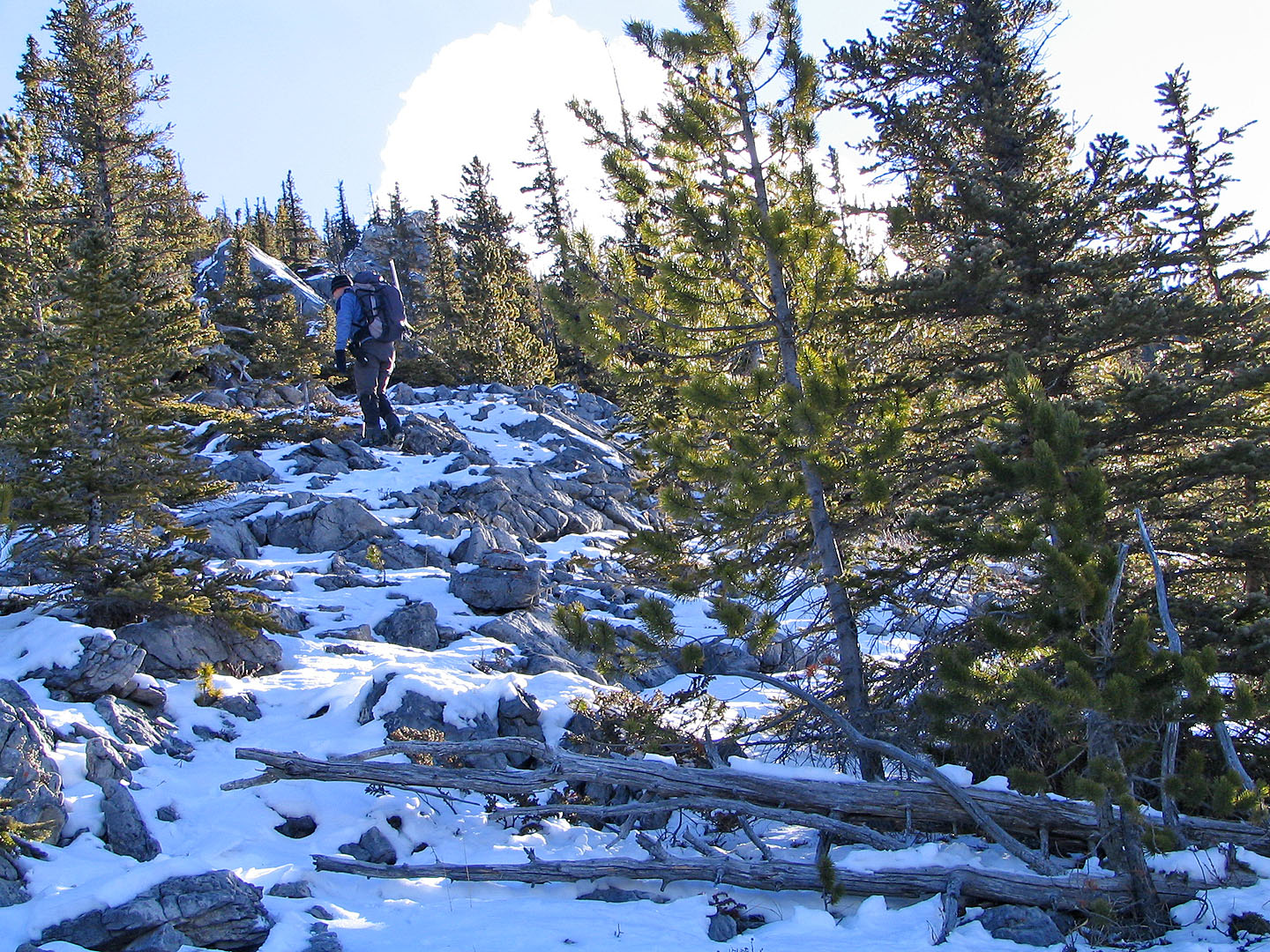
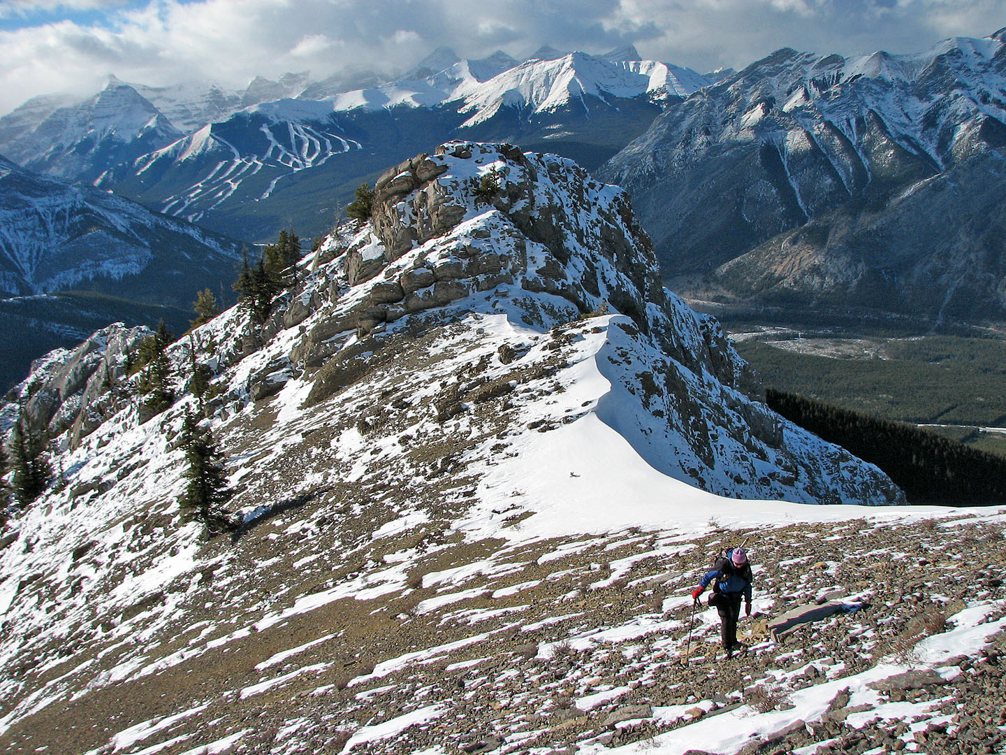
Hiking along the ridge
Leaving the treeline
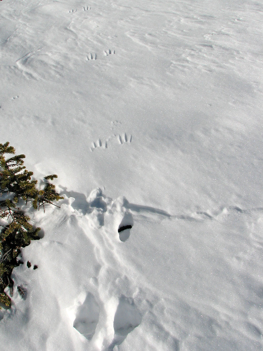
These tracks, likely a lynx, transform from paw prints to claw marks
when they hit firm snow.
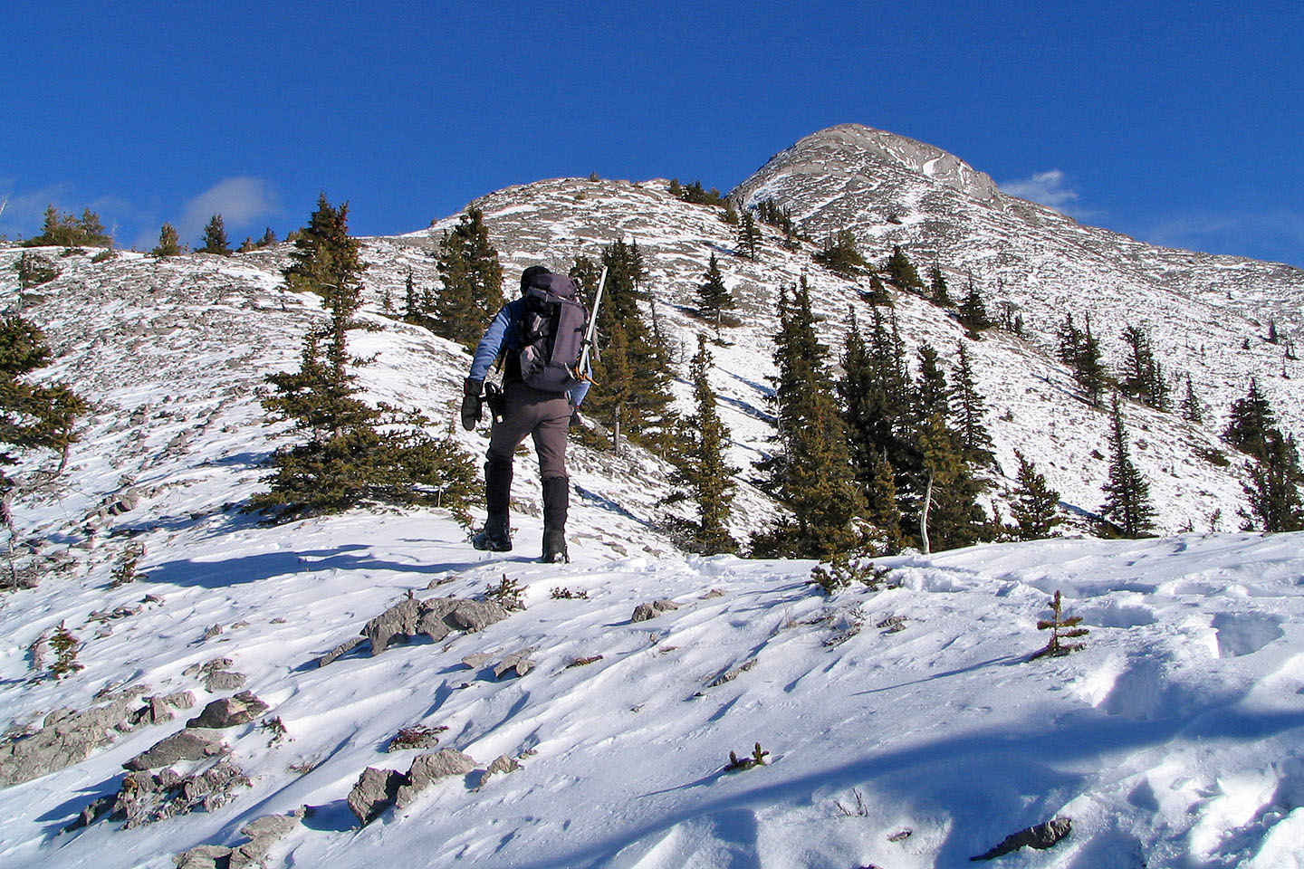
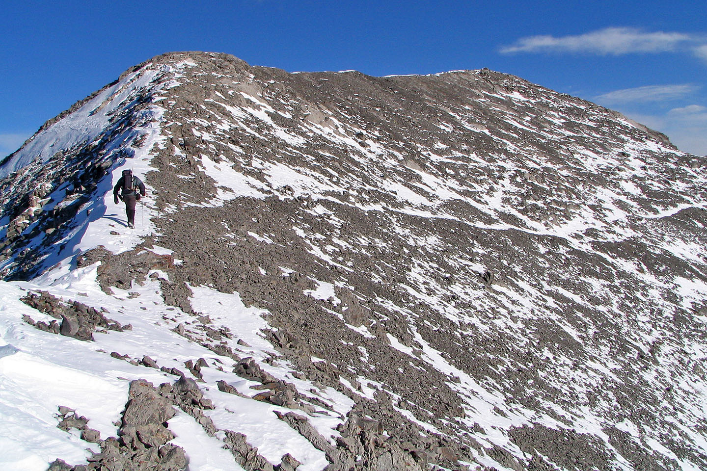
False summit on the right
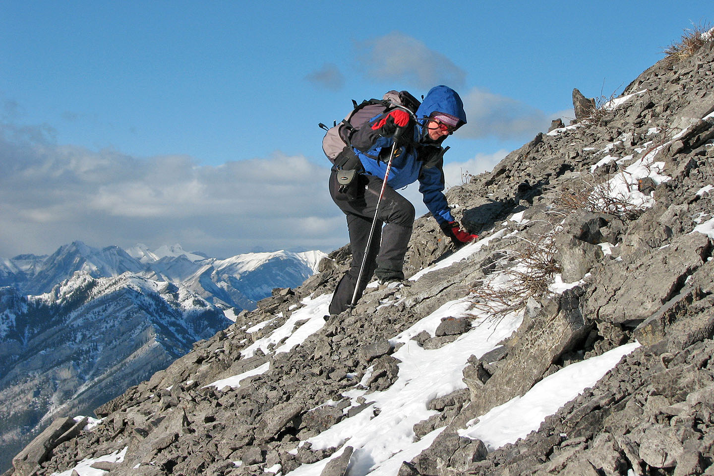
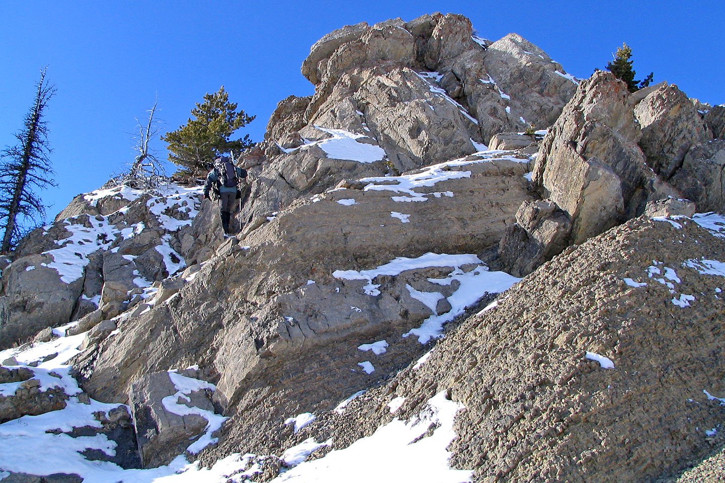
 Looking back at a crux of sorts
but offered no real difficulties
Looking back at a crux of sorts
but offered no real difficulties
Bypassing slabs to reach the false summit
Dinah bends into a steep slope
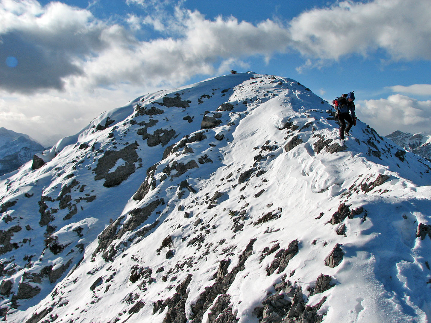
Looking back from the false summit
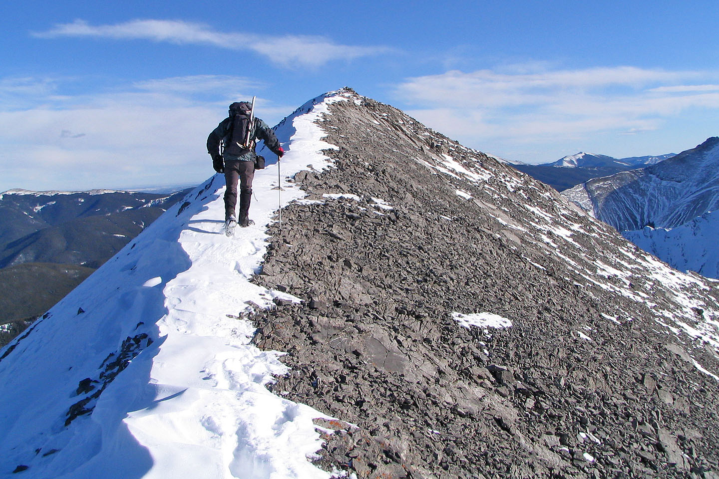
On the last section of the ridge
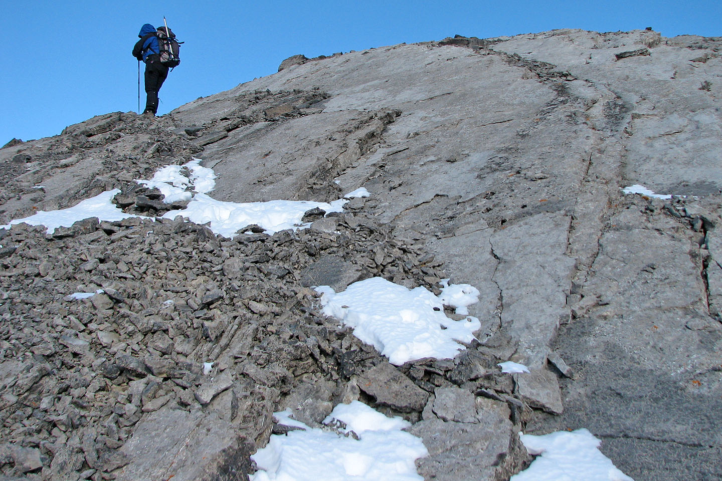
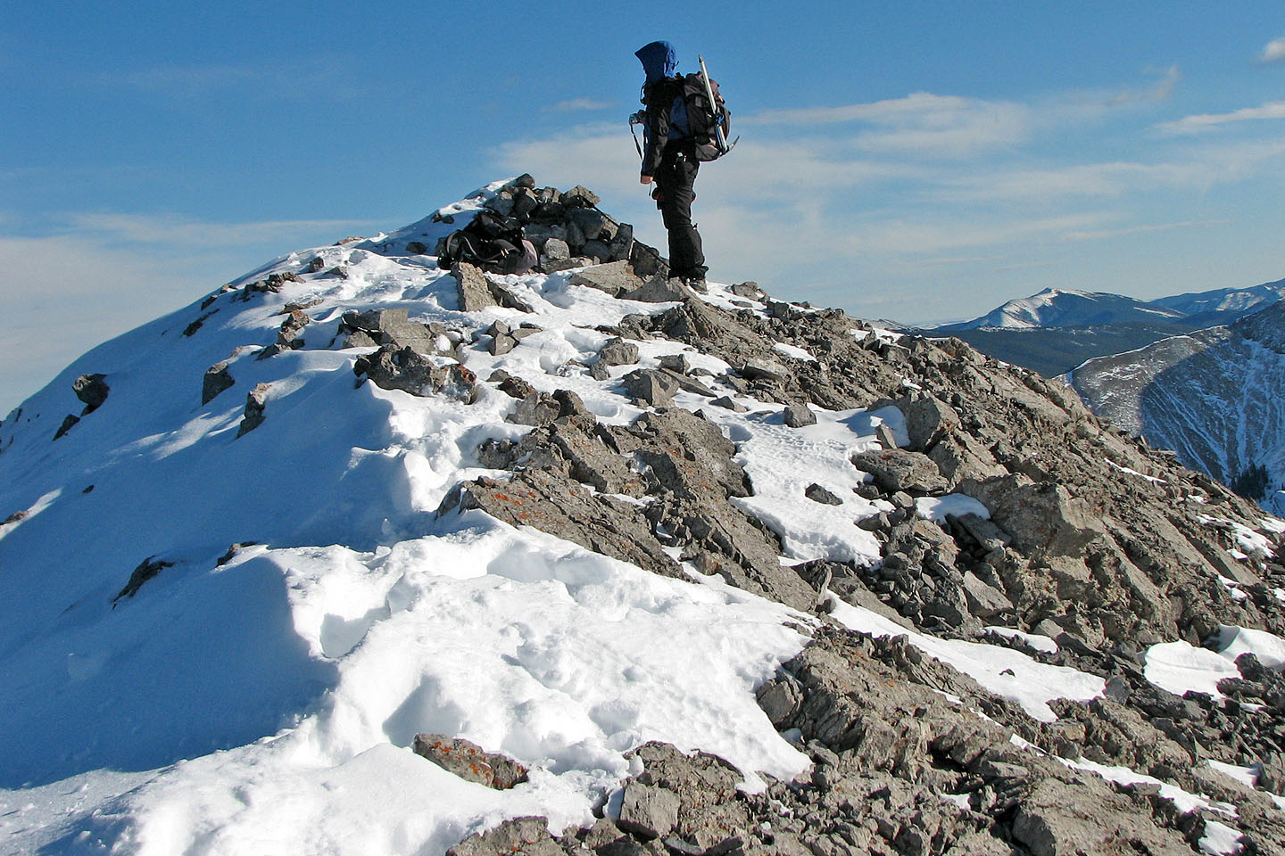
 Final steps to the top. Note the steep
slope to the left, the way to Baldy Pass.
Final steps to the top. Note the steep
slope to the left, the way to Baldy Pass.
Dinah at the summit cairn
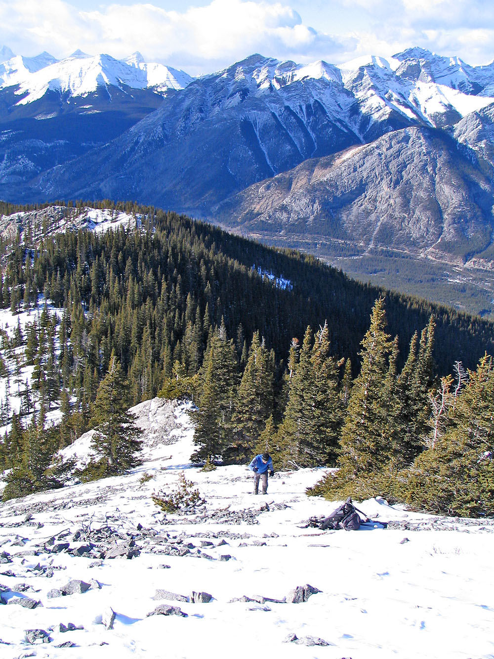
Coming down from the summit
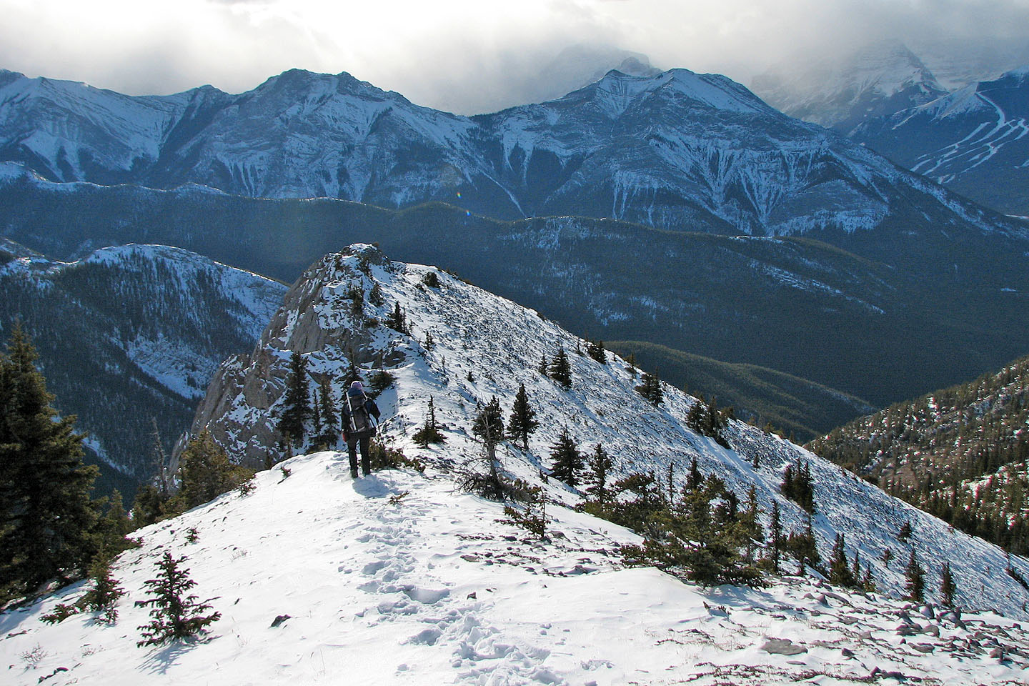
Hiking back along the ridge
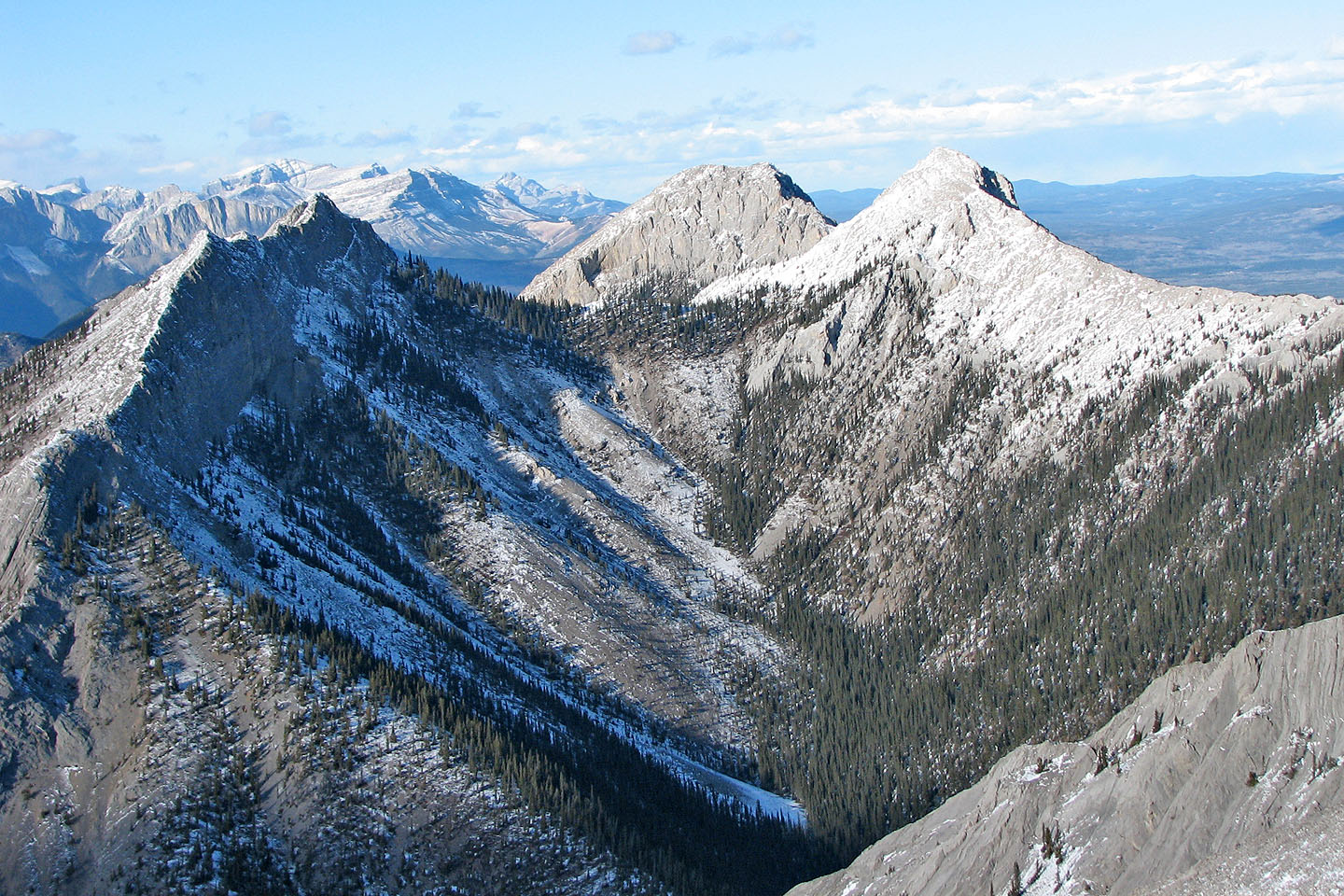
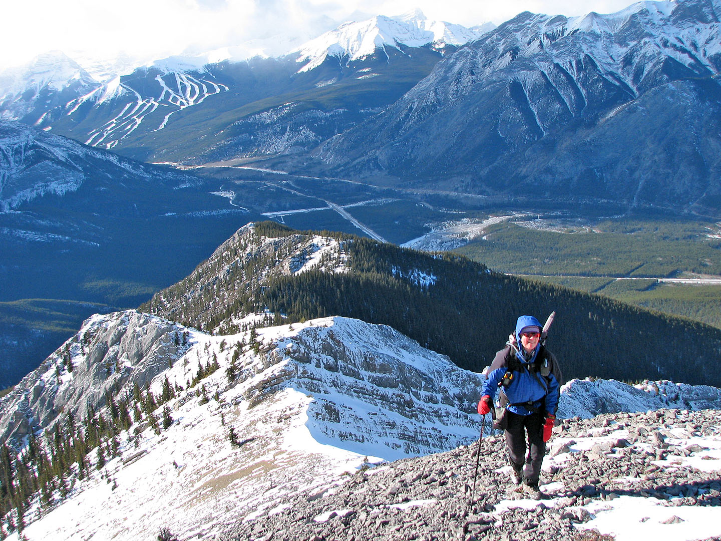
The three peaks of Mount Baldy
Climbing the crux on the return
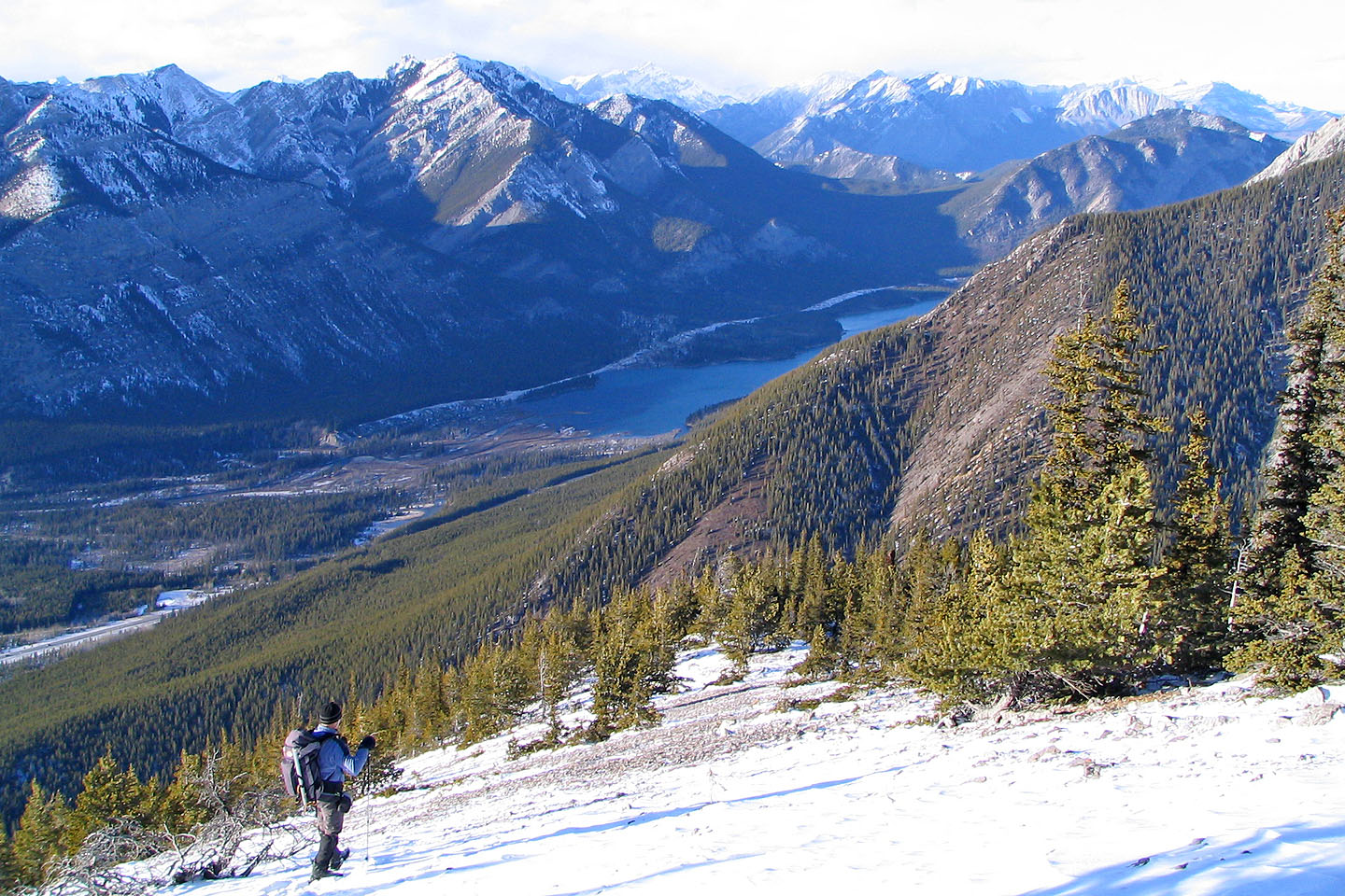
View of Barrier Lake as we head back down the clearing
82 J/14 Spray Lakes Reservoir