bobspirko.ca | Home | Canada Trips | US Trips | Hiking | Snowshoeing | MAP | About
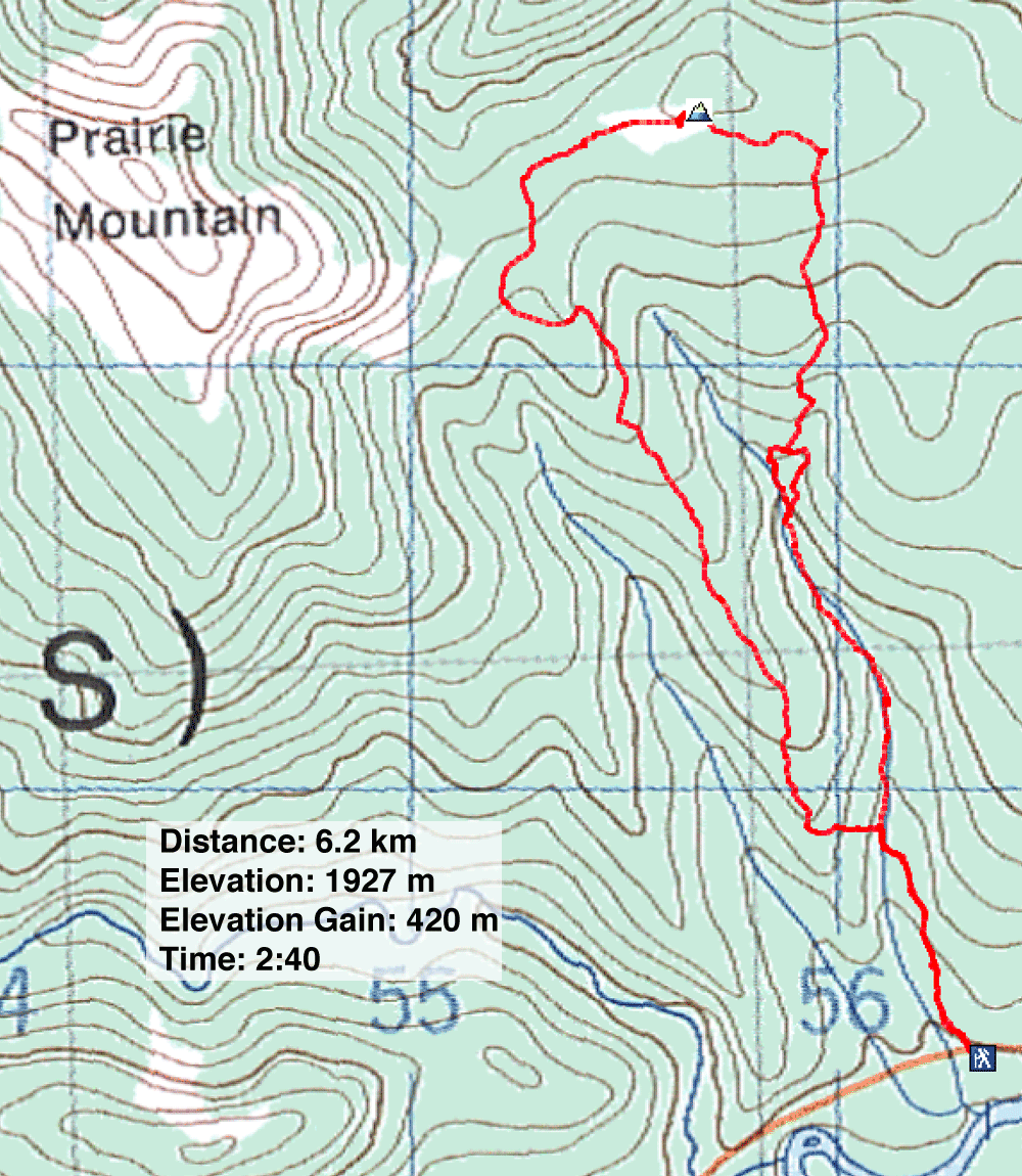
Ben’s Hill Loop
Kananaskis, Alberta
April 1, 2022
Distance: 6.2 km (3.6 mi)
Cumulative Elevation Gain: 440 m (1444 ft)
When Dinah and I first hiked Ben's Hill years ago, it was an out-and-back trip. Now we returned to do a loop, starting up the gully trail as before but descending the south ridge trail. Ben's Hill is a minor bump east of Prairie Mountain.
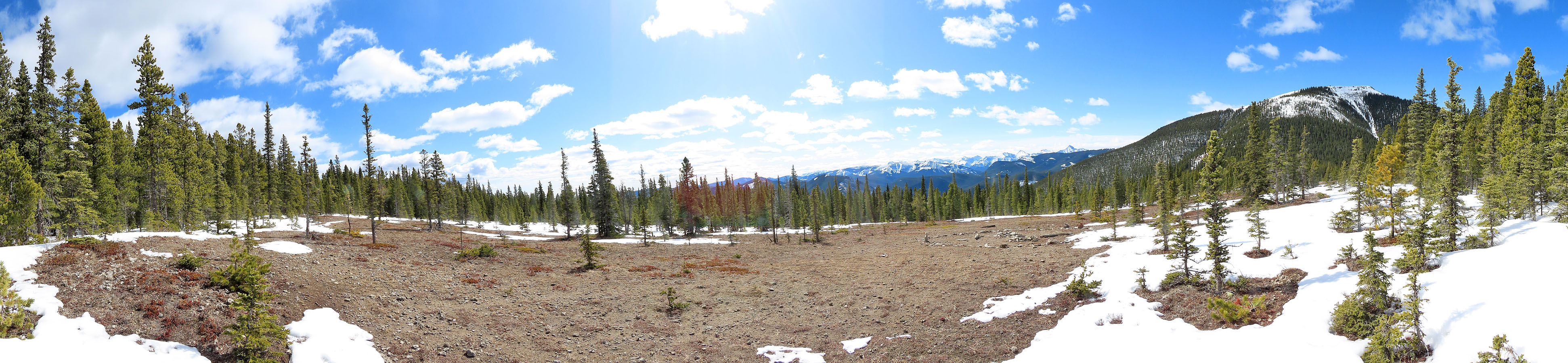
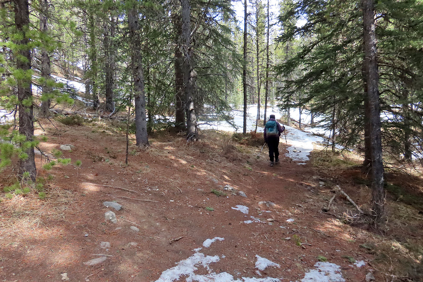
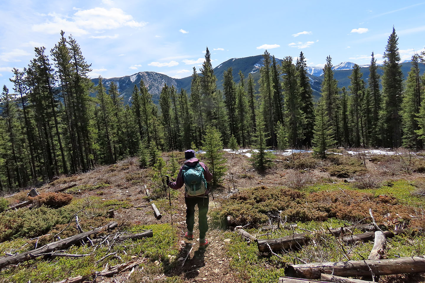
We parked near the blue Elbow Falls sign, climbed the slope above the highway and soon hit the trail. The trail follows a wooded gully for 1.5 km before veering off to ascend a slope. The path leads to some easy slabs at the end of a rock band. But 100 m before that, before the trail crosses the gully, an alternative trail favoured by mountain bikers keeps right to avoid the rocks and soon rejoins the main trail. Above the rock band, the trail climbs aggressively until it reaches a fork: keep left for Ben's Hill. Soon after, the trail breaks out onto a gentle meadow atop the hill. From here, one can study the low mountains to the south or take in Prairie Mountain filling the view west and rising 300 m higher. After a short break, we continued along the trail, dipping into the forest below Prairie Mountain.
At first the trail seems at odds with the correct direction. It continues west when it should go south, and instead of descending it climbs. Finally the trail comes to its senses, turning sharp left and running downhill. Following a pleasant ridge, the path is more appealing than the ascent trail. However, the descent offers the same views as the ascent: pretty much nonexistent because of trees. Eventually, the path tires of the ridge and abruptly turns left, dropping steeply down to meet the gully trail.
Ben's Hill lacks the vistas of Prairie Mountain, but it provides a quicker, easier trip. We've been up a few times, and unlike popular Prairie, we seldom see hikers on it. You're likely to have the summit to yourself.
Who is Ben?
I've often wondered how Ben's Hill got its name, and I was fortunate to hear from Peter Goodman who brought me a step closer to this mystery:
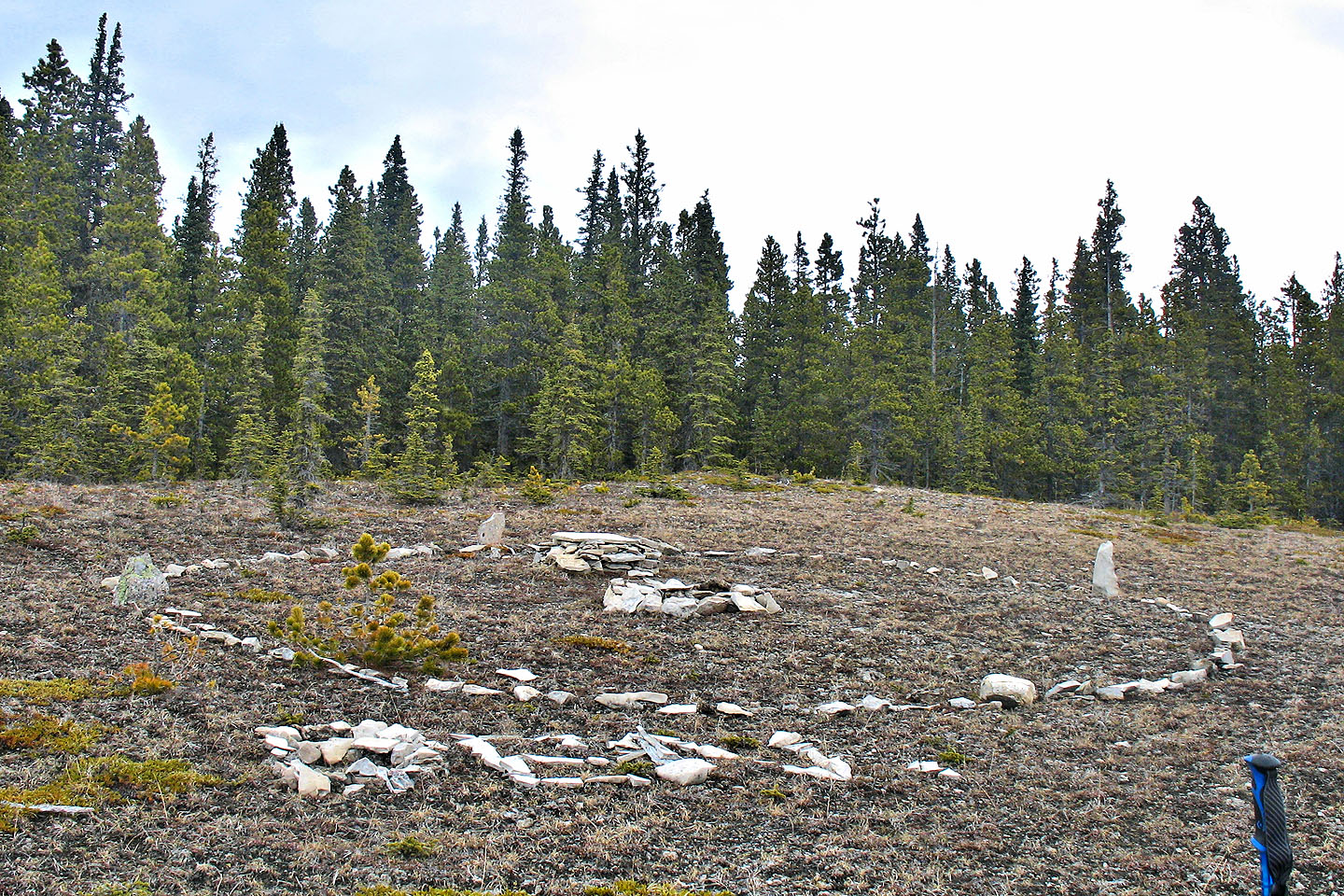
I am a geocacher "BVPete" and was looking for a place to hide a cache back in 2007. So I just started walking up the hill beside Prairie Mountain; there were no trails other than handy ones made by animals. I passed the gas plant and continued through a heavy blowdown until I reached the summit by a nice clearing. I hid my cache near the summit and gave it some name or other, then went to explore the large open area where I came across the stone circle. At that time, the name "BEN" was spelled out with rocks (see 2007 photo below). I assumed that Ben's ashes were contained in the rock crypt in the centre of the circle. I wondered if Ben was a human or a beloved pet but did not disturb the crypt. Anyway, I changed the geocache name to "Ben's Hill" and the name caught on in the geocaching community. I made many trips there before and after several Bike Community trails were constructed and noticed that the rocks spelling BEN had been scattered.
Peter's 2007 photo
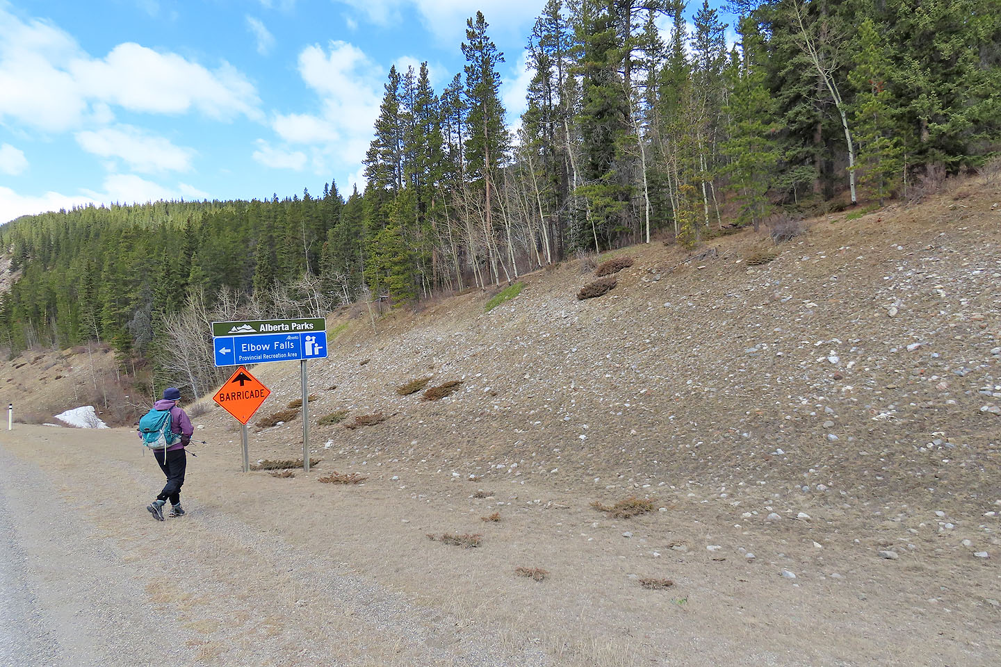
Starting from the highway
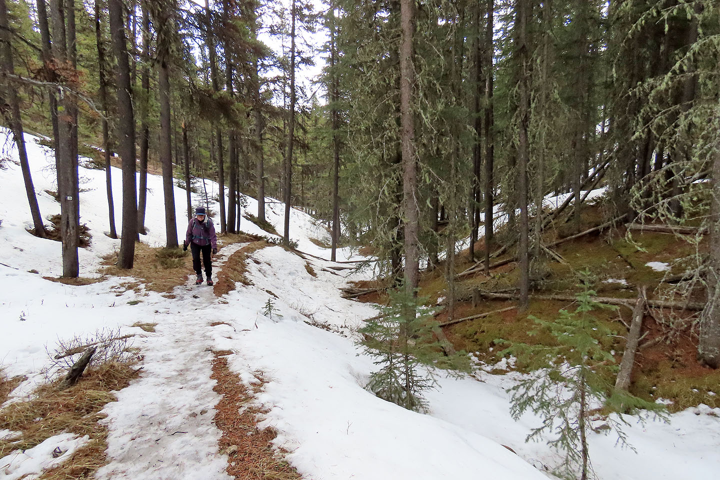
After hiking 600 m, we passed the trail we'll later come down to complete the loop
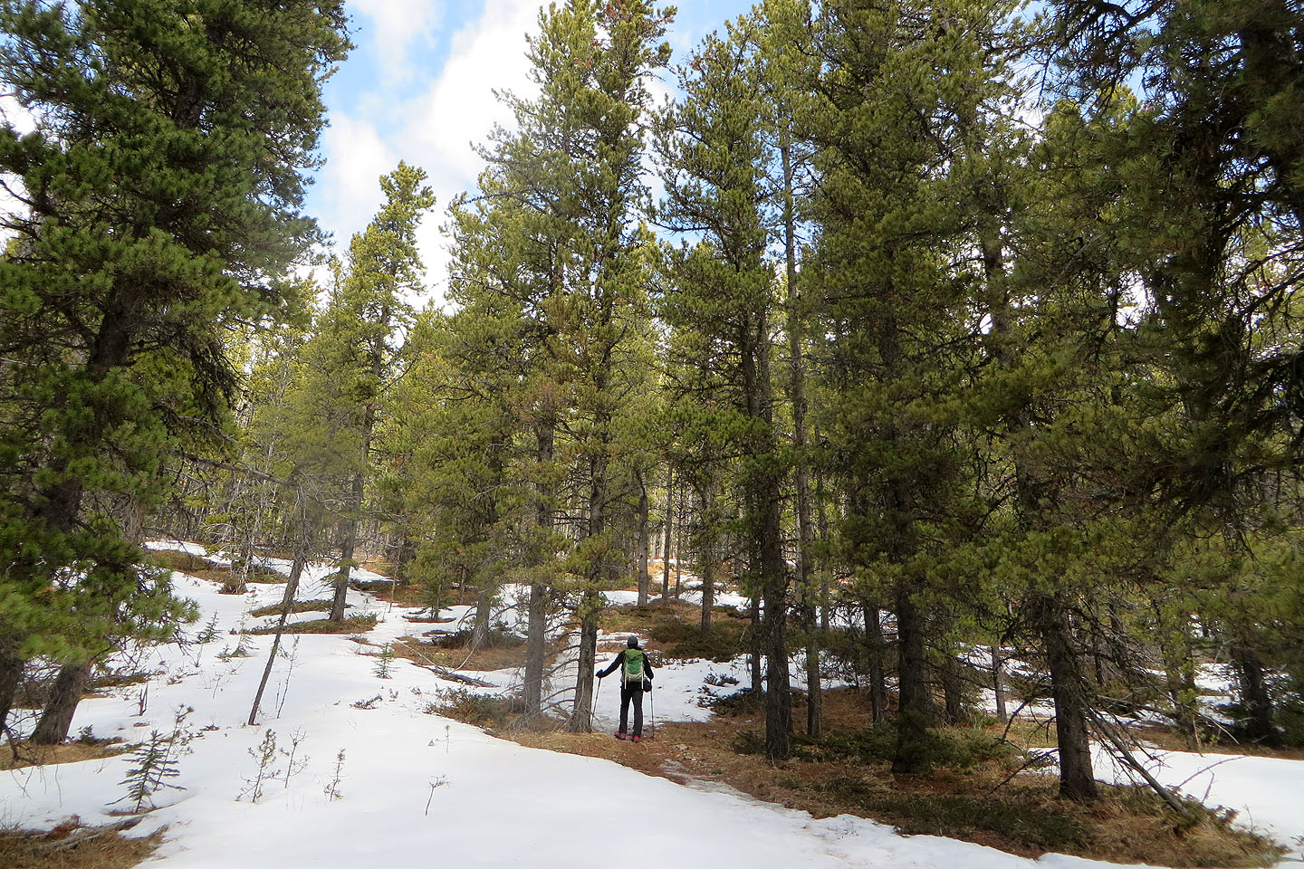
Glades are almost nonexistent
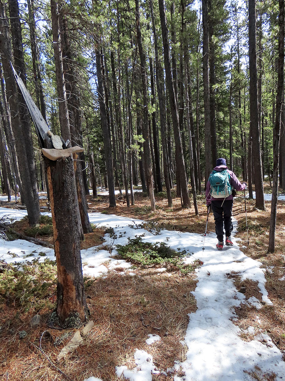
The trail follows a ravine
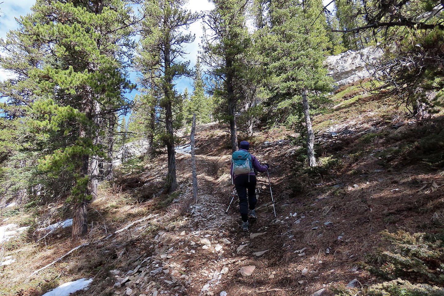
The trail leads to a rock band
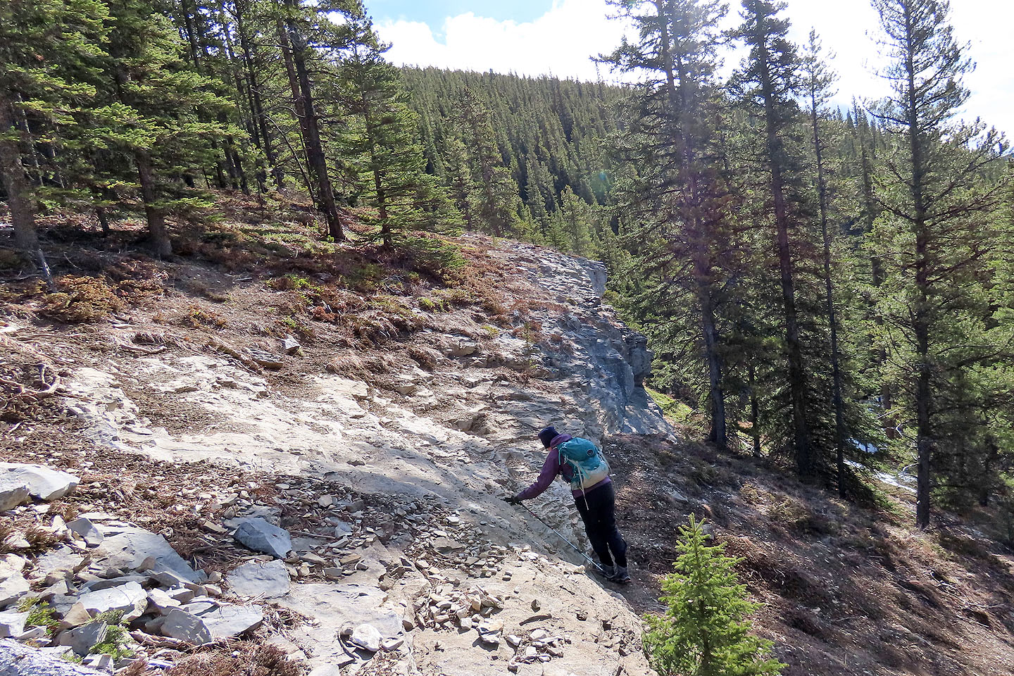
Dinah starts up the rock
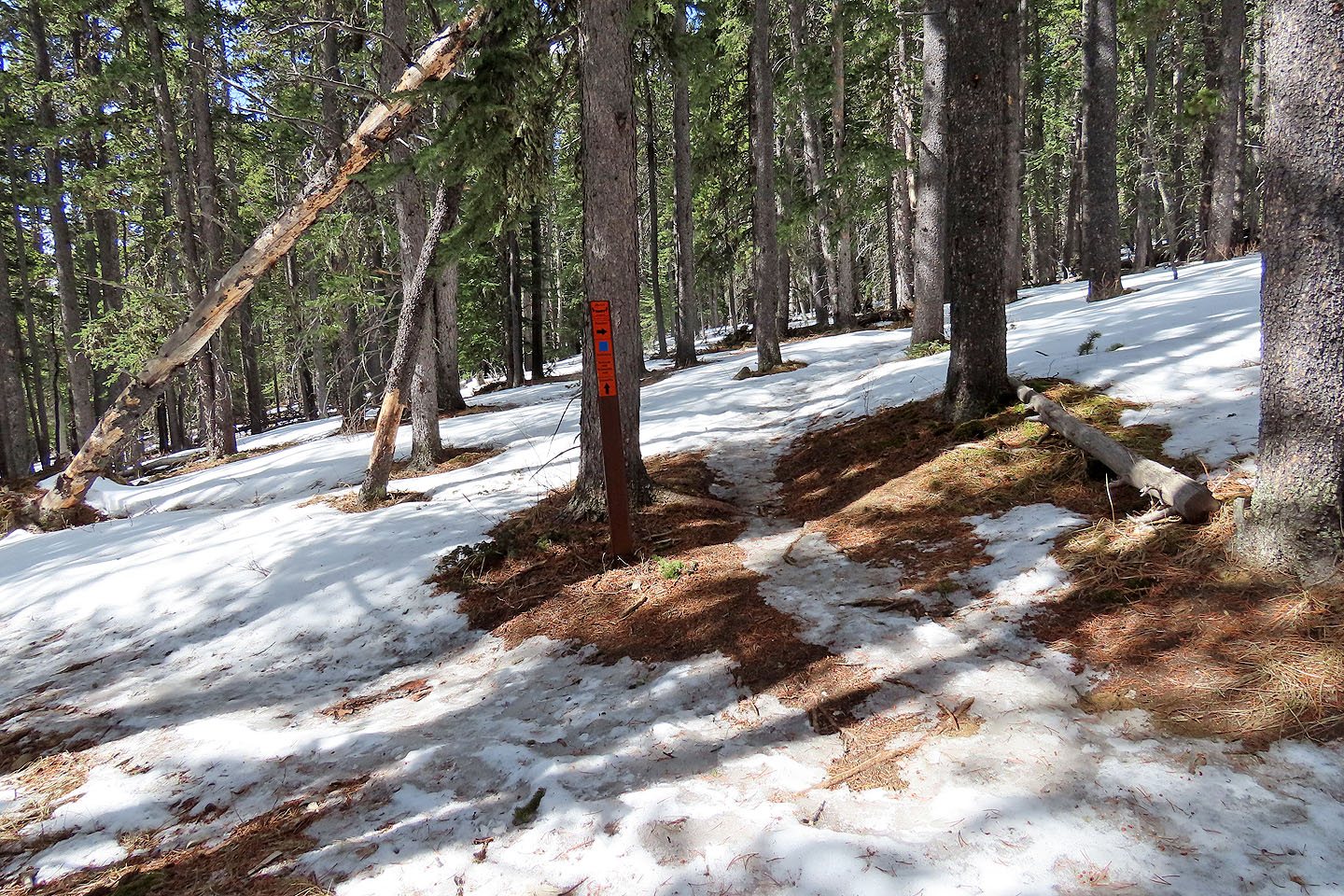
A sign marks the trail to the summit

A stone circle adorns the top
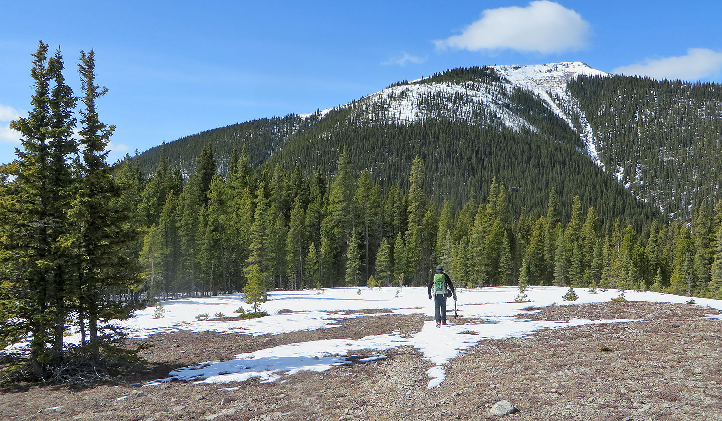
We continued along the trail towards Prairie Mountain
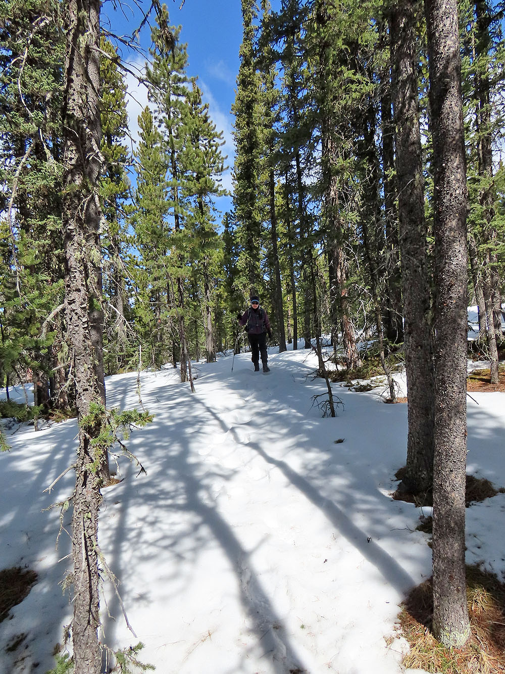
We encountered quite a bit of snow after entering the trees
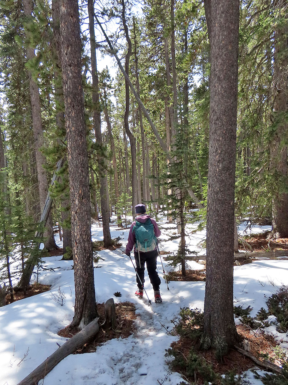
Continuing down the trail
The trail levels off for a time
A clearing offers a view of Îyarhe Îpan and Swany's Ridge
82 J/15 Bragg Creek