bobspirko.ca | Home | Canada Trips | US Trips | Hiking | Snowshoeing | MAP | About
Baldy Ridge
Kananaskis Country, Alberta
September 30, 2021
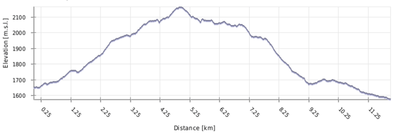
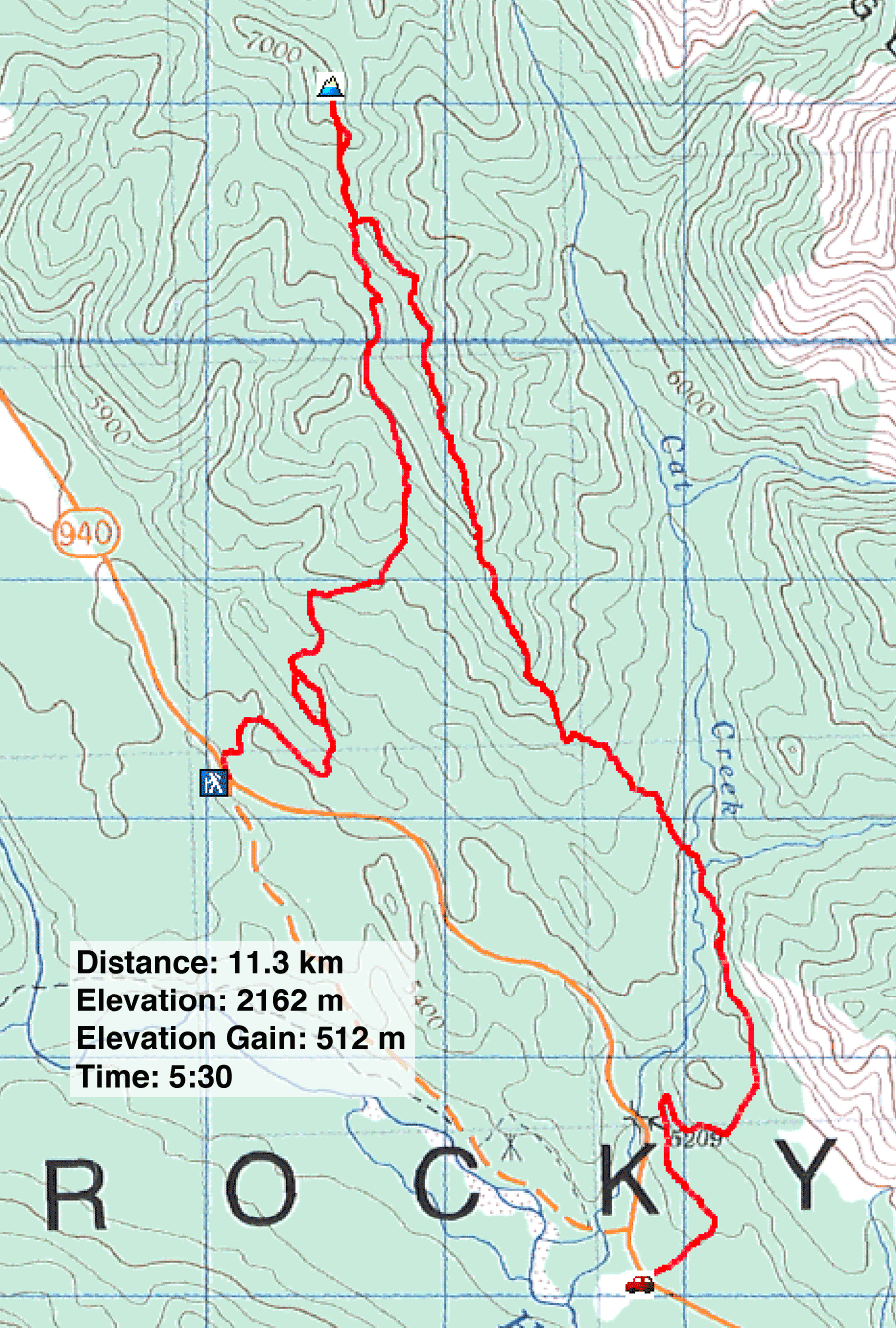
Distance: 11.6 km (7.2 mi)
Cumulative Elevation Gain: 588 m (1929 ft)
The generic name, Baldy Ridge, doesn't do justice to the long, delightful meadow that graces the ridgetop, itself a worthy objective. To reach it, we referred to Baldy Ridge Loop in Kananaskis Country Trail Guide. The route utilizes several trails to create a clockwise loop, but we made two changes. We didn't hike the long trail that parallels Highway 40. Instead we used a car shuffle; our trip was a traverse rather than a loop. And we went beyond the north end of the loop to the summit.
The route begins on Badly but finishes on Cat Creek trails. For our trip, there are a few places to finish, but we chose Access 2. Here Dinah and I picked up Sonny and Zosia and drove to our trailhead.
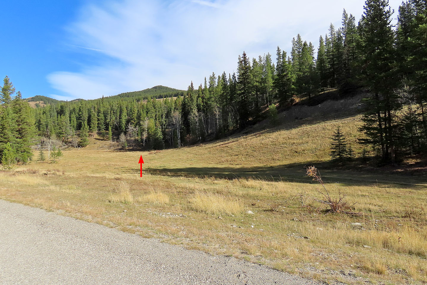
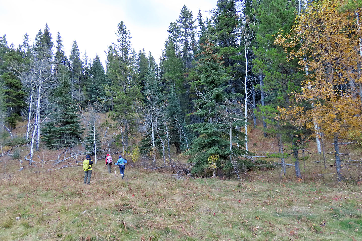
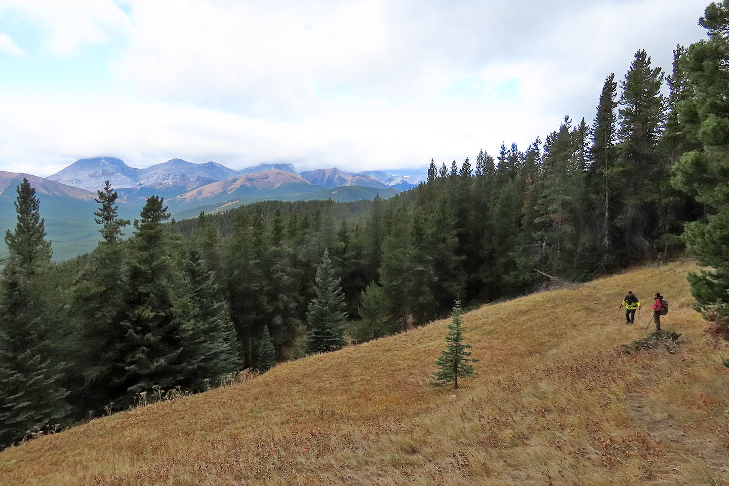
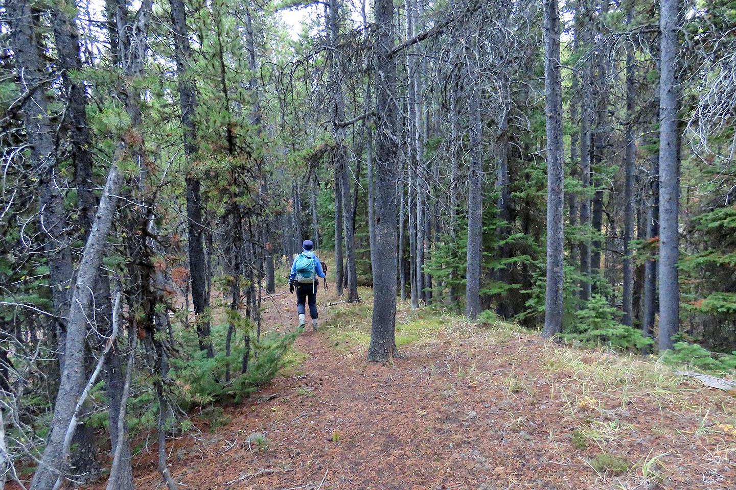
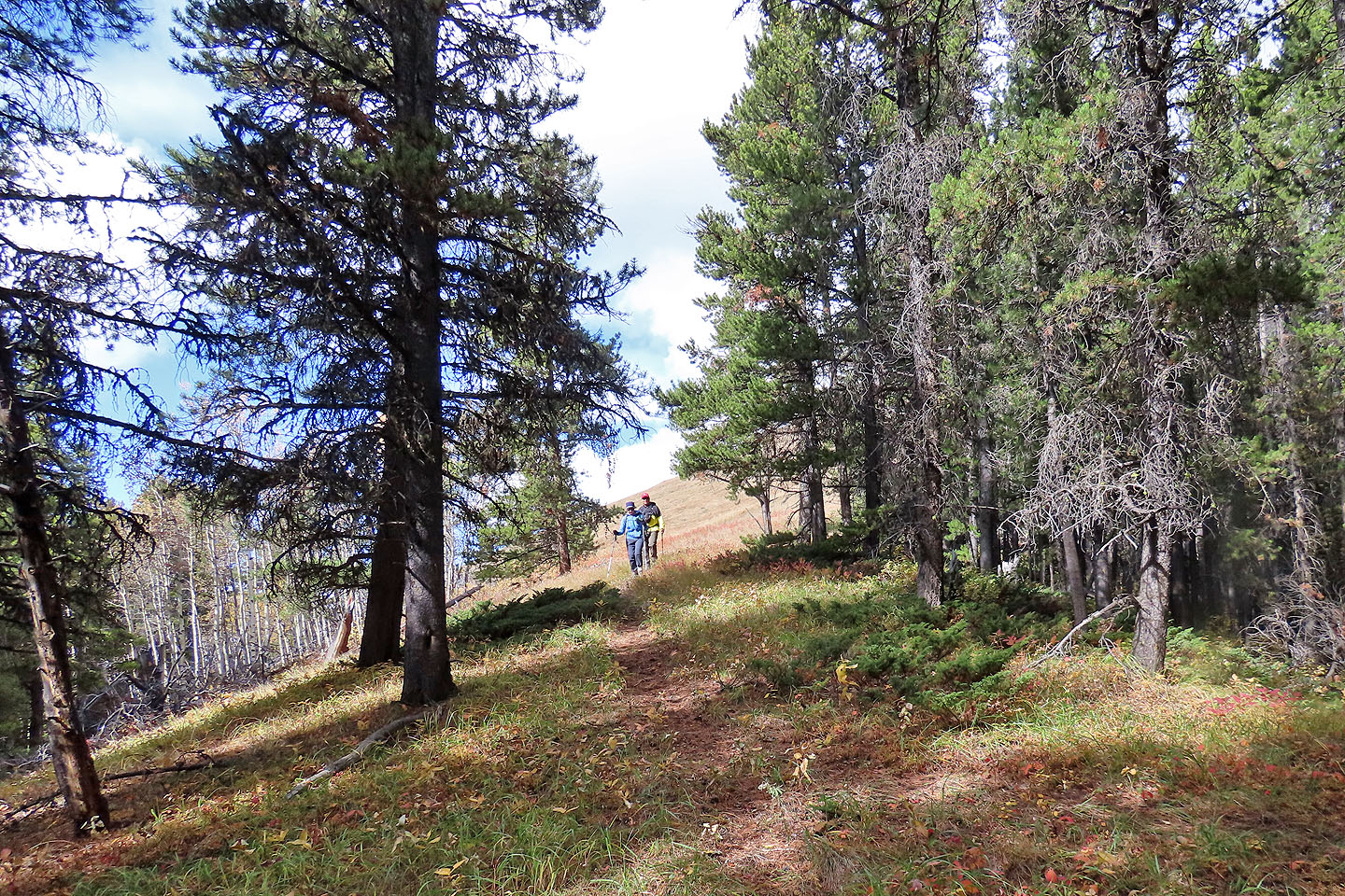
After parking on the roadside, we gravitated towards an obvious old road but soon realized it wasn't the trail. The trailhead, it turns out, was left, across a meadow and hidden in trees. The path steadily climbs mostly through trees until disappearing just before the ridgetop. After following the ridge, we found a good trail with painted trees. We followed it before leaving it and heading to the summit.
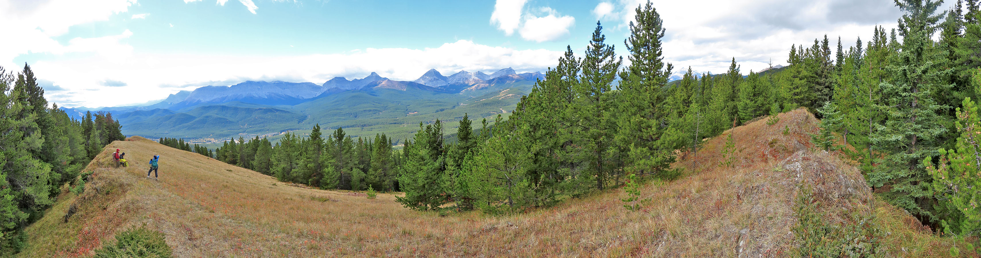
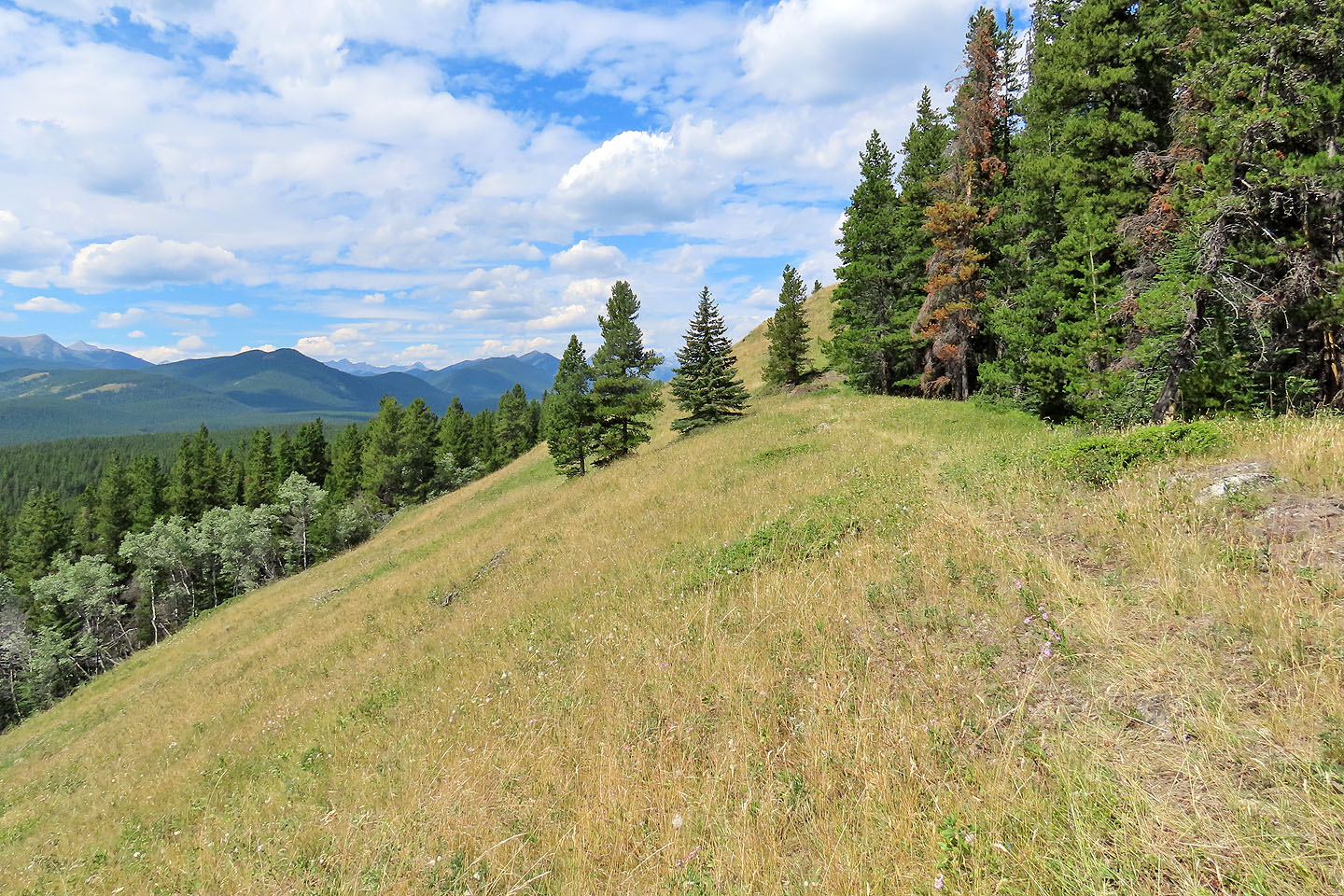
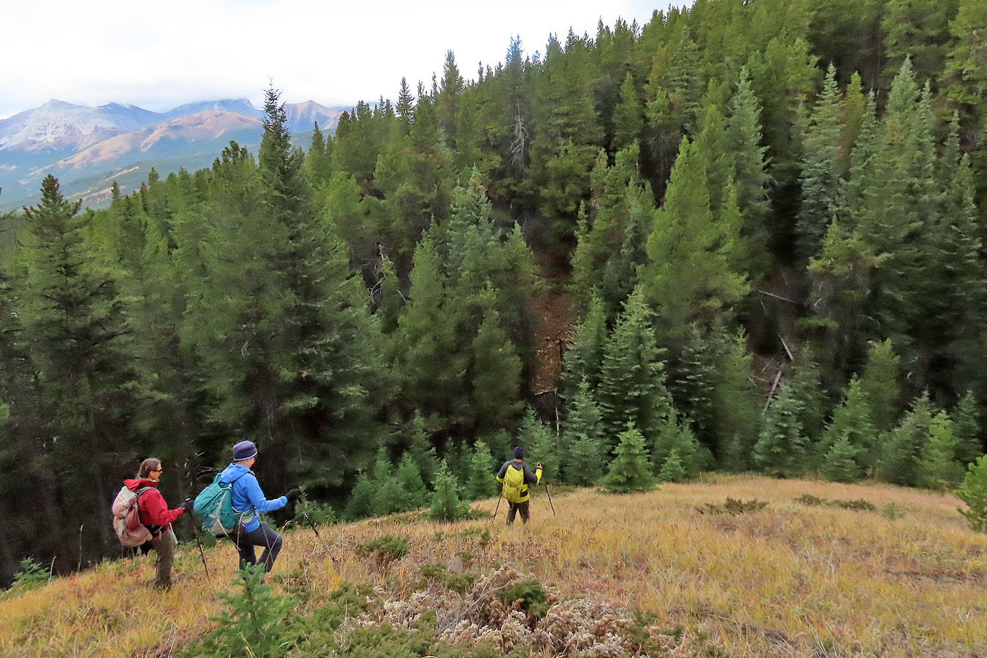
With little underbrush, offtrail hiking was easy, and we reached the summit: jagged rocks in the trees. After a time, we headed back. Sticking to the crest, we continued south until we finally broke free of the forest onto the lovely stretch of meadow.
We dawdled down the grassy ridge until it ended in trees 1.2 km later. There we picked up a trail and followed it into the forest. But coming down the ridge trail, we unwittingly passed the trail to Cat Creek and ended up bushwhacking to the creek. We crossed the creek, reached an old road – one of the Cat Creek trails – and followed it back to Sonny's car.
After the hike, I regretted we missed the trail to the creek. So I returned a few days later and hiked up the trail from the creek to the ridge. Back home, I spliced in the trail section so my map and GPX track reflect the correct route. I wouldn't have gone through the trouble except that this is a trip worth doing.
Postscript: It niggled that I didn't know where the trail with the painted trees came from, so a year later, I returned, picked up the trail where we left it and followed it down. It returns to the main trail but not before disappearing in a meadow. Since nothing indicates where this trail is, I built two cairns. The trail begins in the trees. This is the trail to take. It appears in the guidebook map, but apparently it became overgrown in the meadow. I corrected my map and tracks accordingly.
KML and GPX Tracks
Sonny's Trip Report
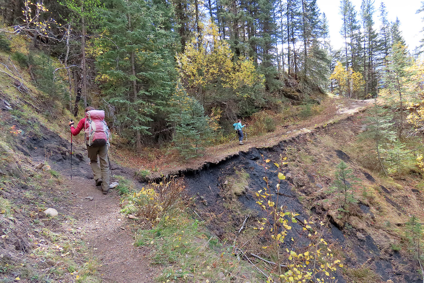
The trail begins in a gully
The trail wasn't obvious until we passed through a few trees
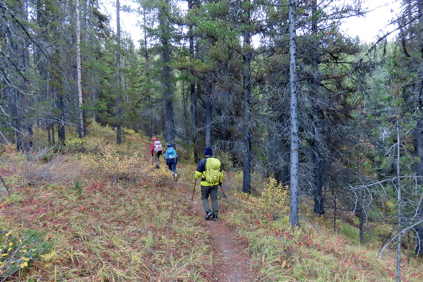
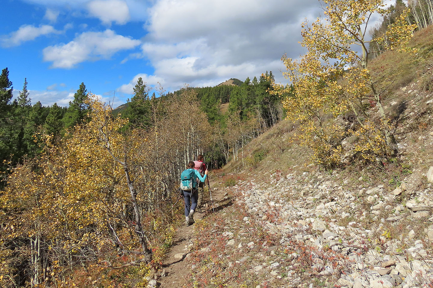
Hiking up the trail
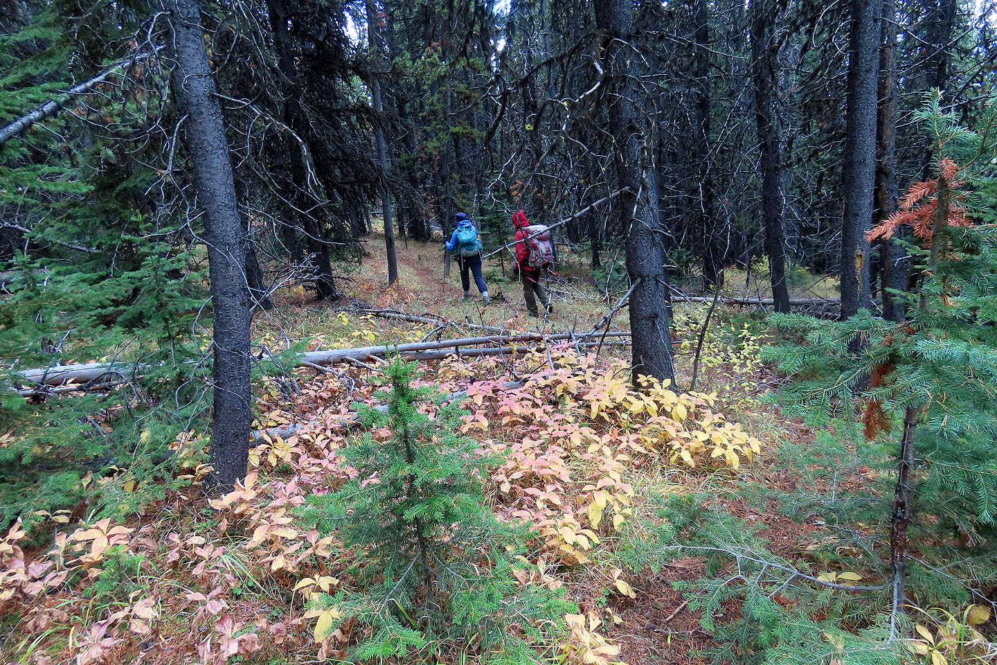
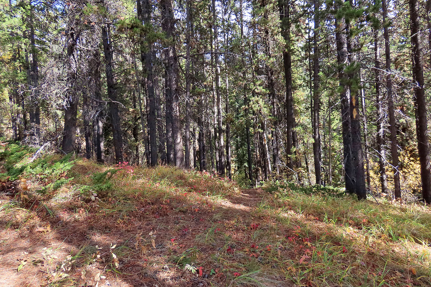
Much of the trail follows long, straight stretches
 When I returned in 2022, I tried the left fork at 614886. It crosses a nice viewpoint before returning to the main trail
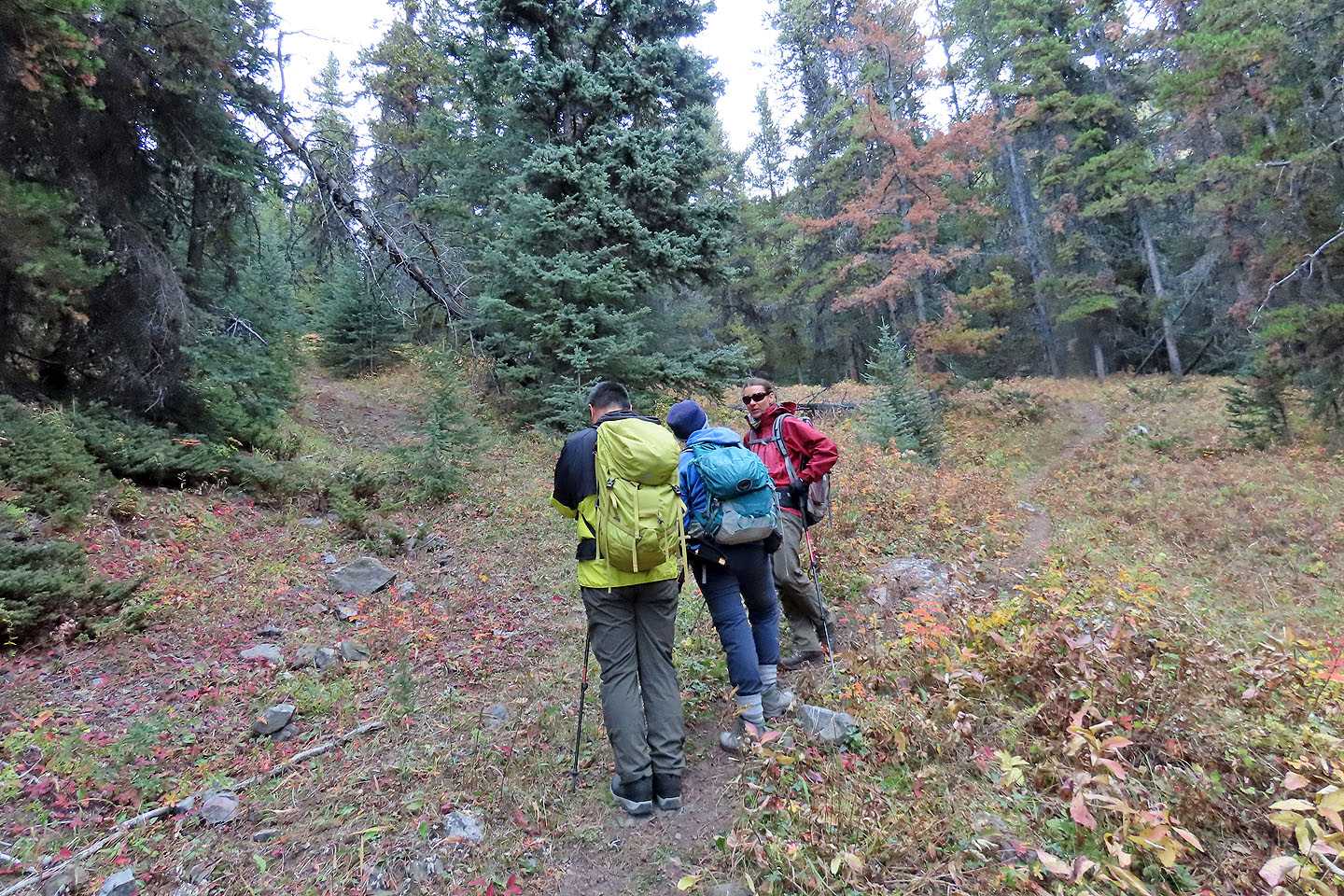
We went left at this fork. The right fork is a shortcut to the meadows.
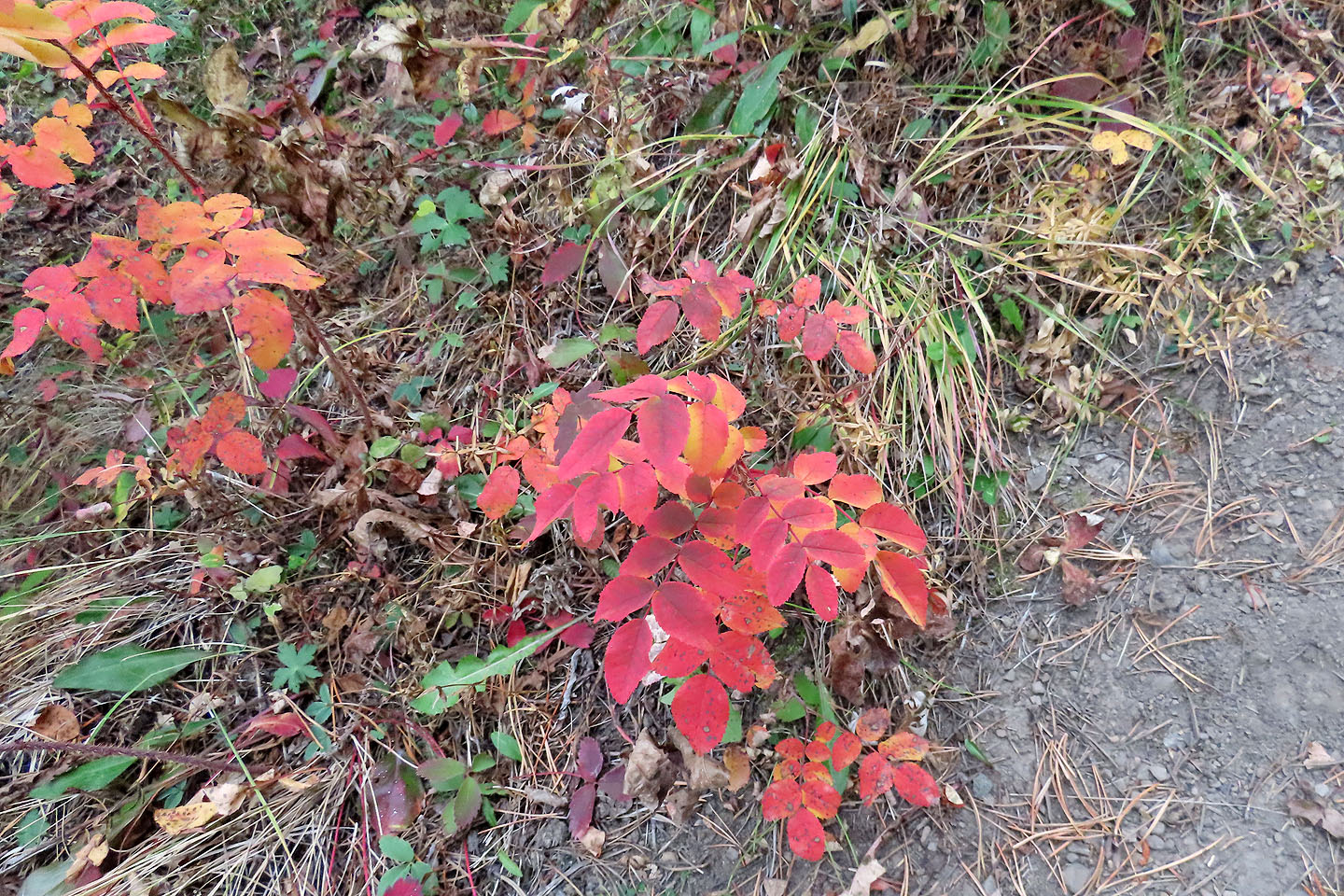
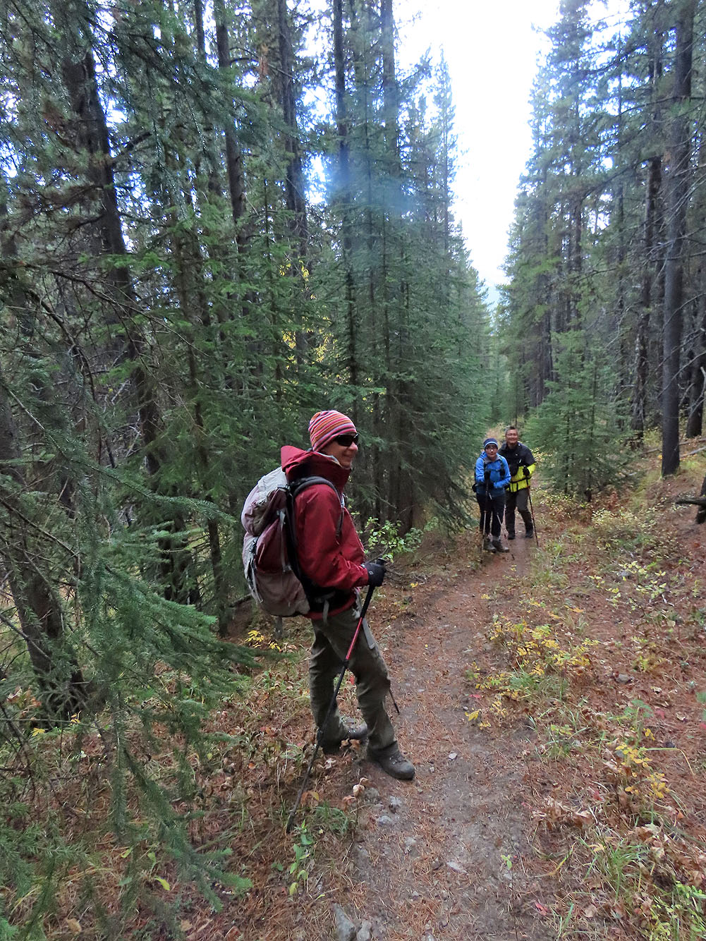
Bright red leaves stood out along the trail
 Looking back from a glade
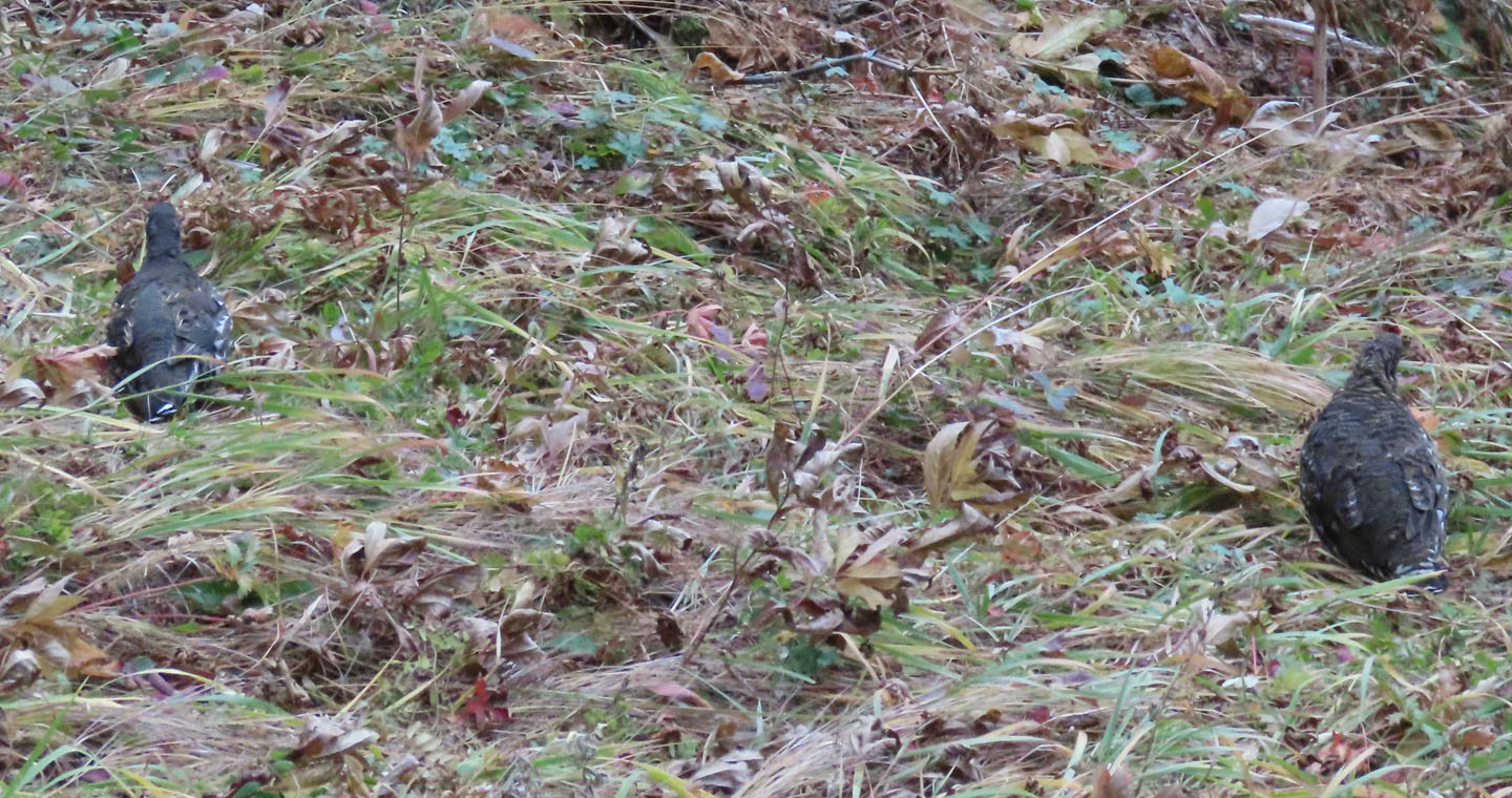
Two of a family of five grouse
We kept to the trail. When I returned a year later, I added cairns to the spot where you should leave this trail. The painted trail begins in the trees.
The brown bump in the centre is The Hill of Flowers
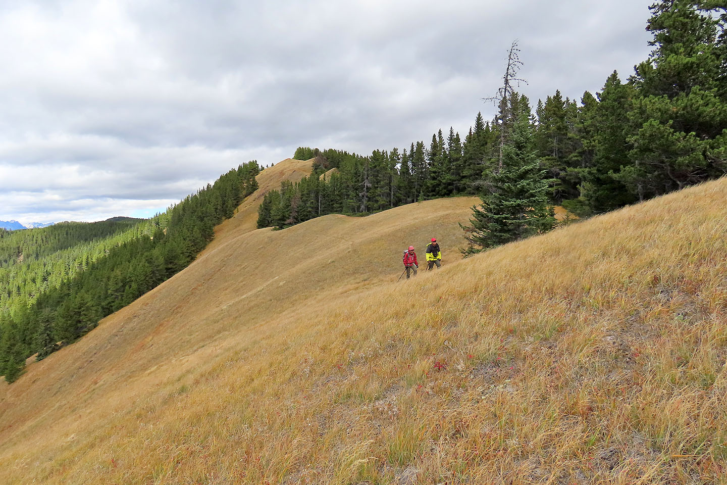
Following the ridge trail
There was no trail where the ridge took a dip
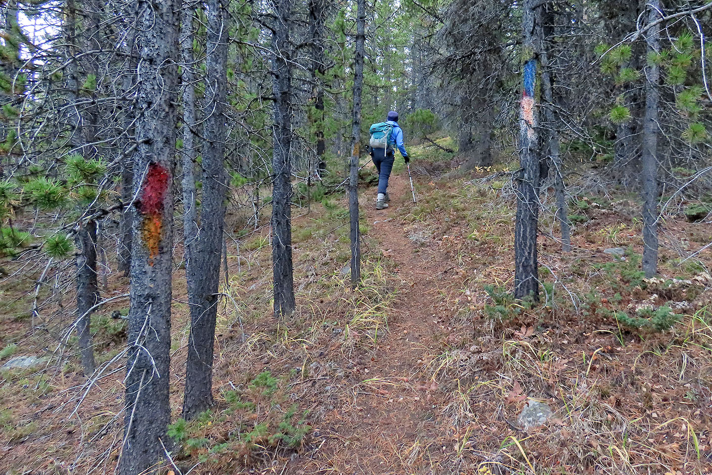
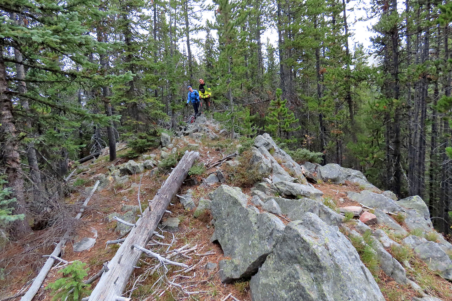
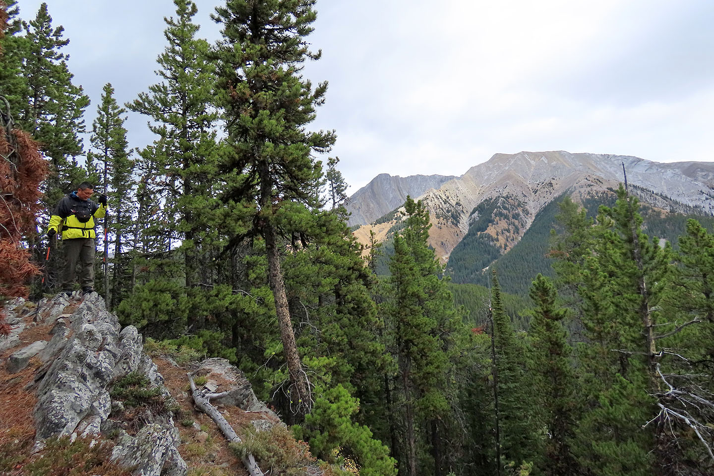
After climbing up, we came across a trail with painted trees
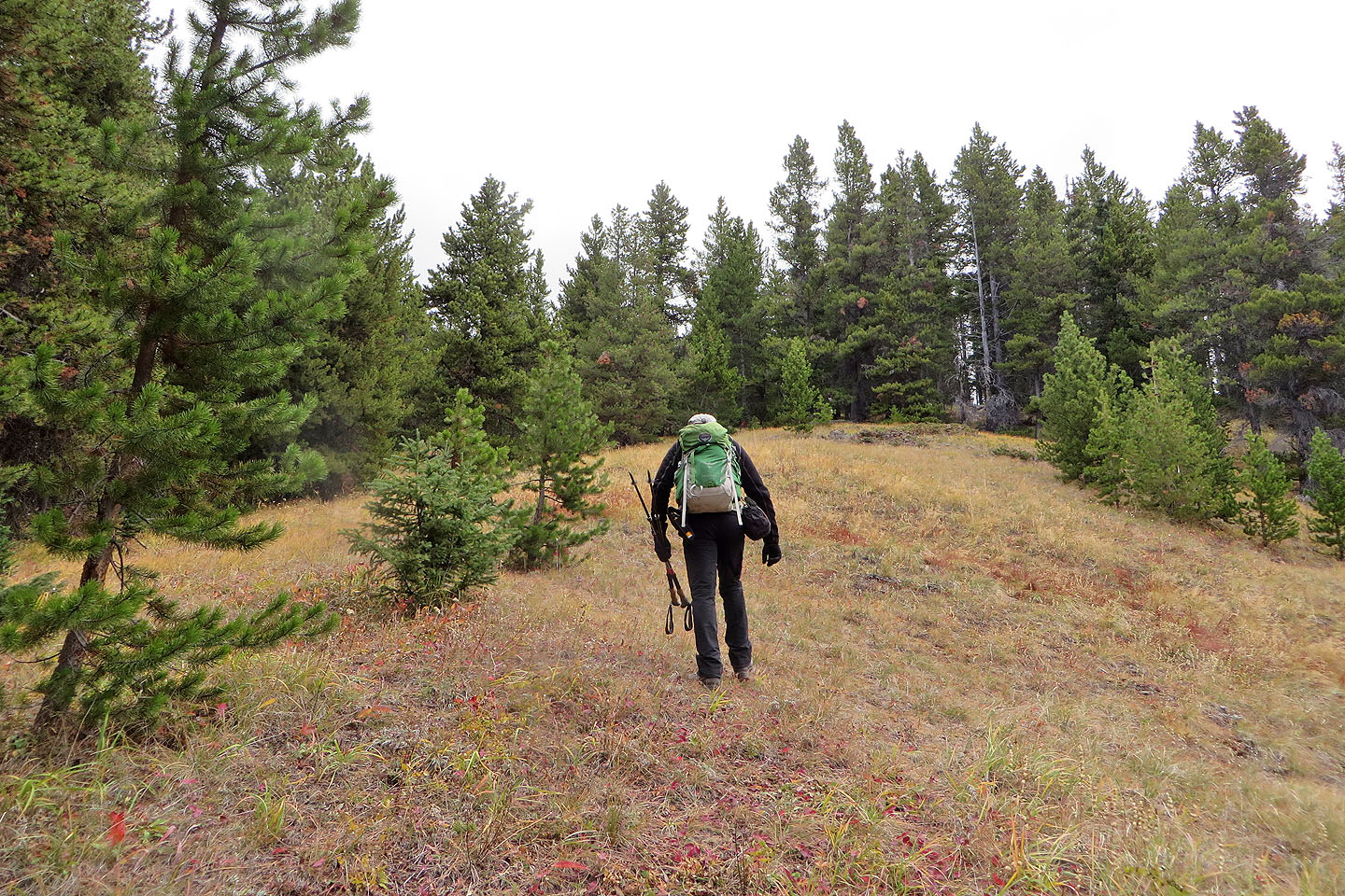
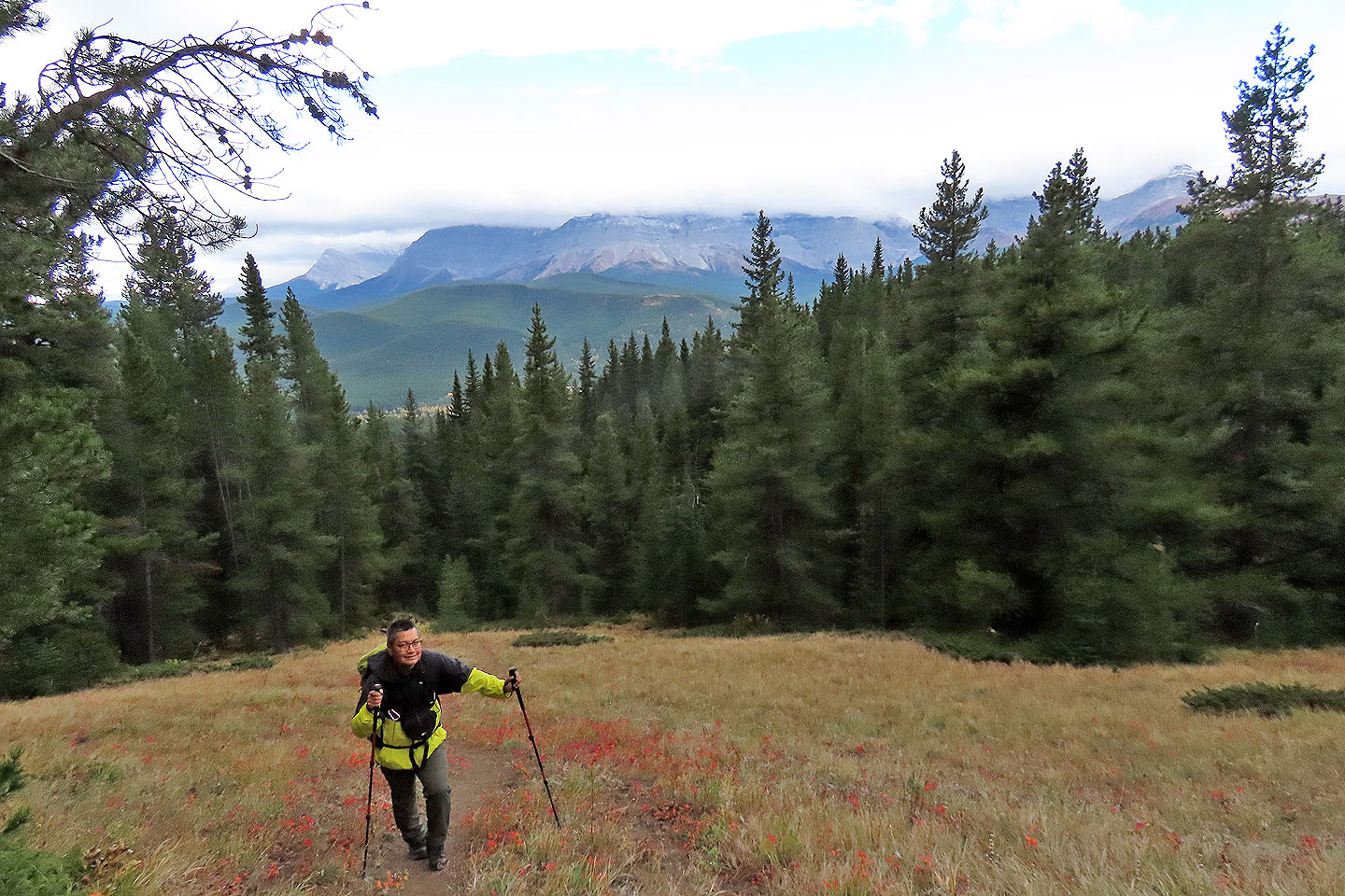
Hiking up a clearing before the summit
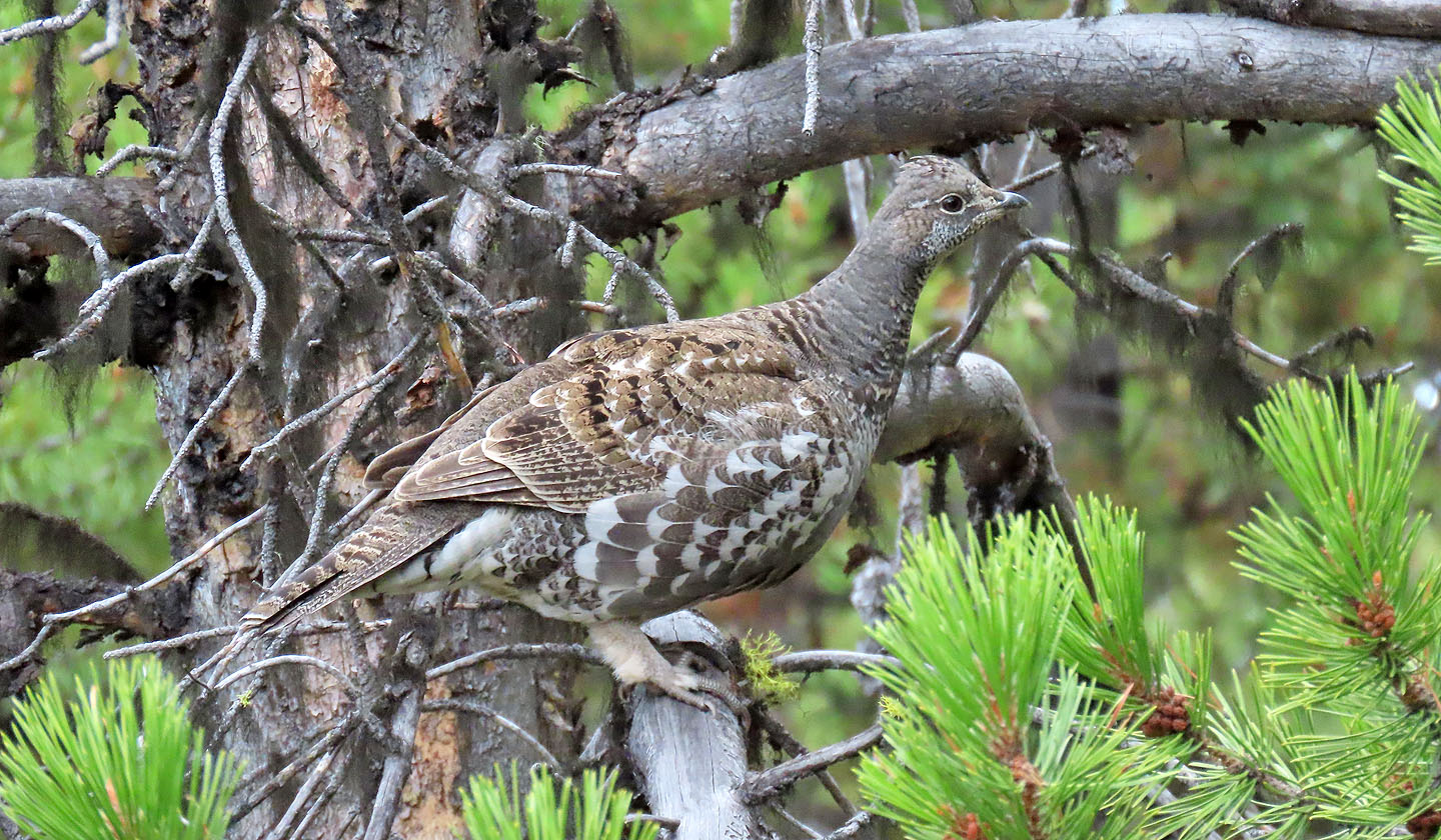
Another grouse
Dinah and Sonny reach the summit
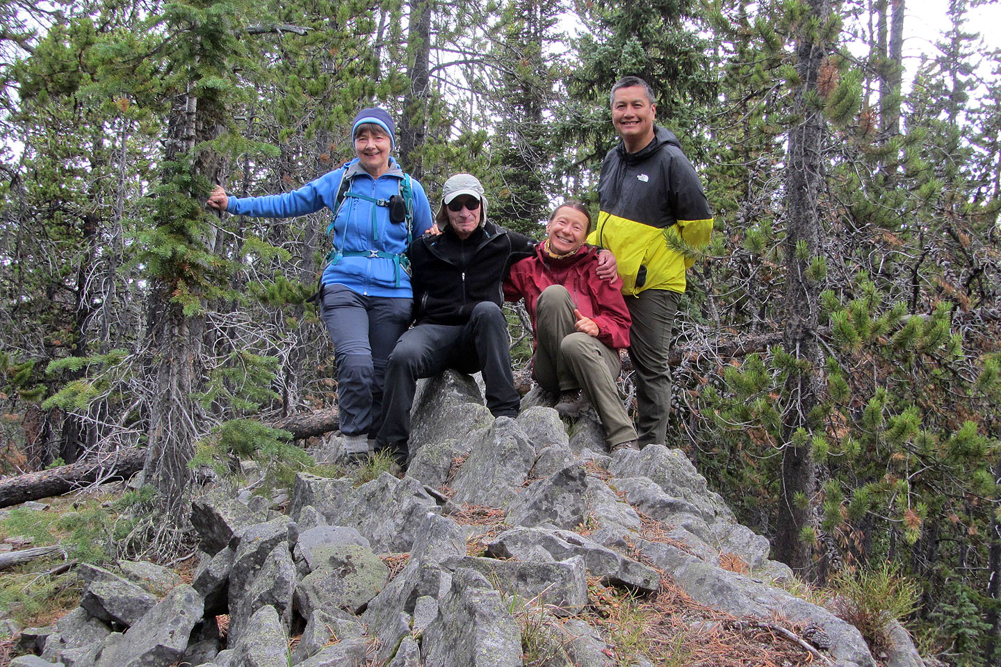
Posing on the summit
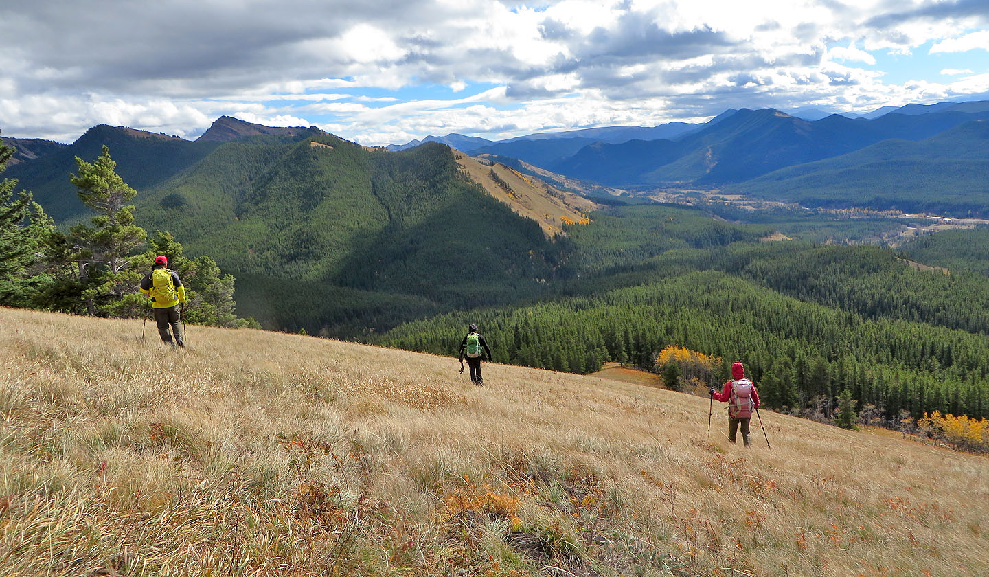
On the way back, we had a view of Serendipity Peak
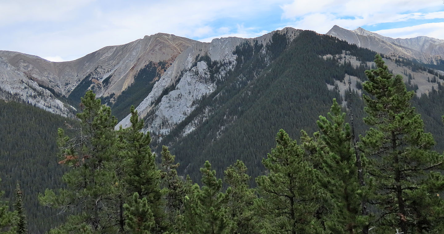
We could also see Cat Creek Ridge and Cat Creek Knob
Continuing along the ridge
Stopping on the open slope
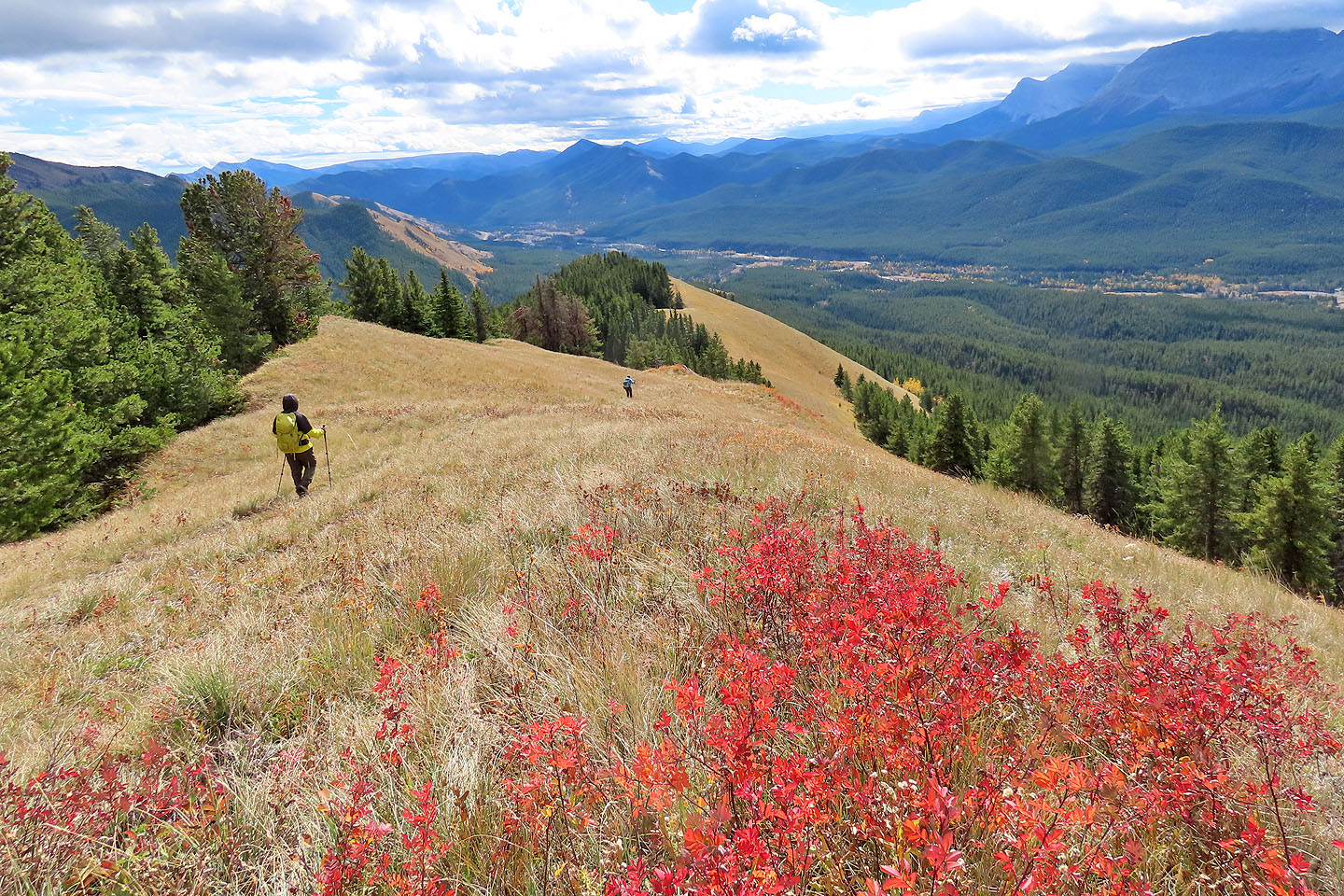
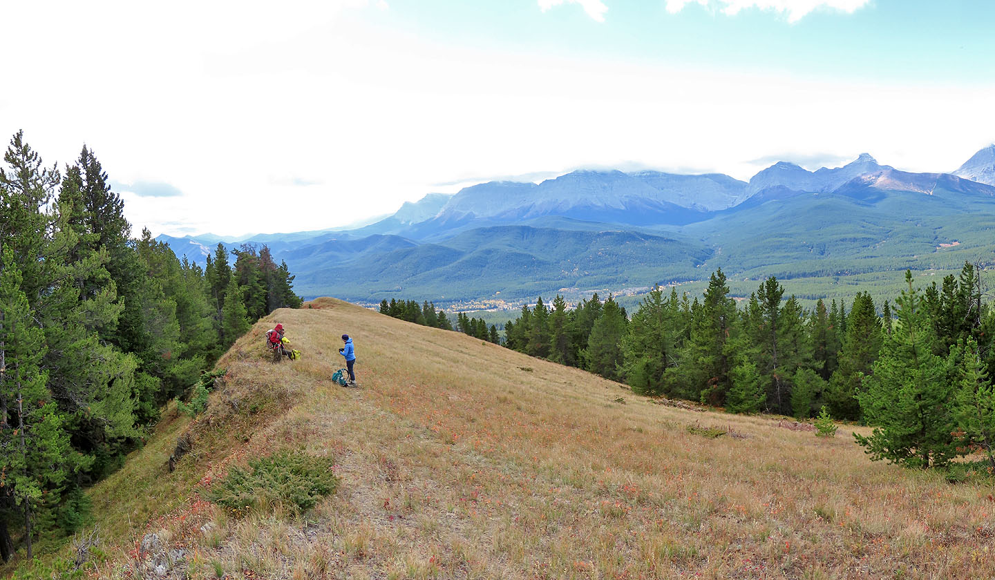
This is a long, open ridge
Looking back along the ridge
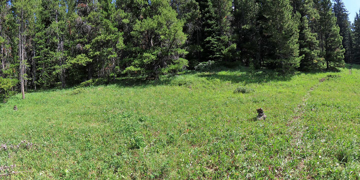
Coming to the end of the meadow
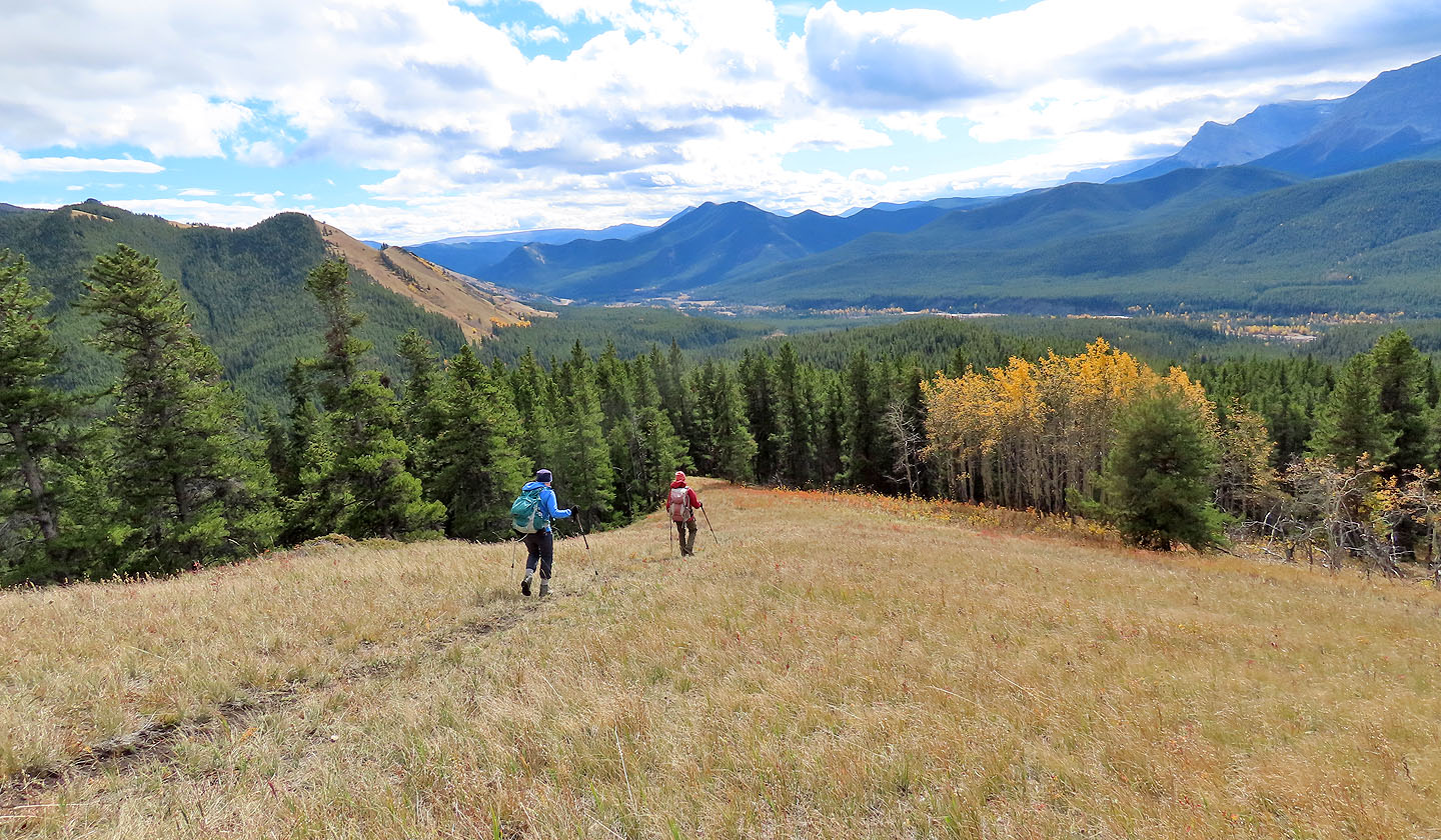
We caught a trail as we came down
Looking back after we entered the trees. The trail to the creek is near here.
The trail drops down the left side
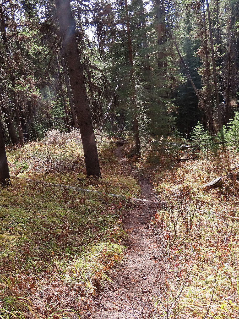
The trail was easy to follow
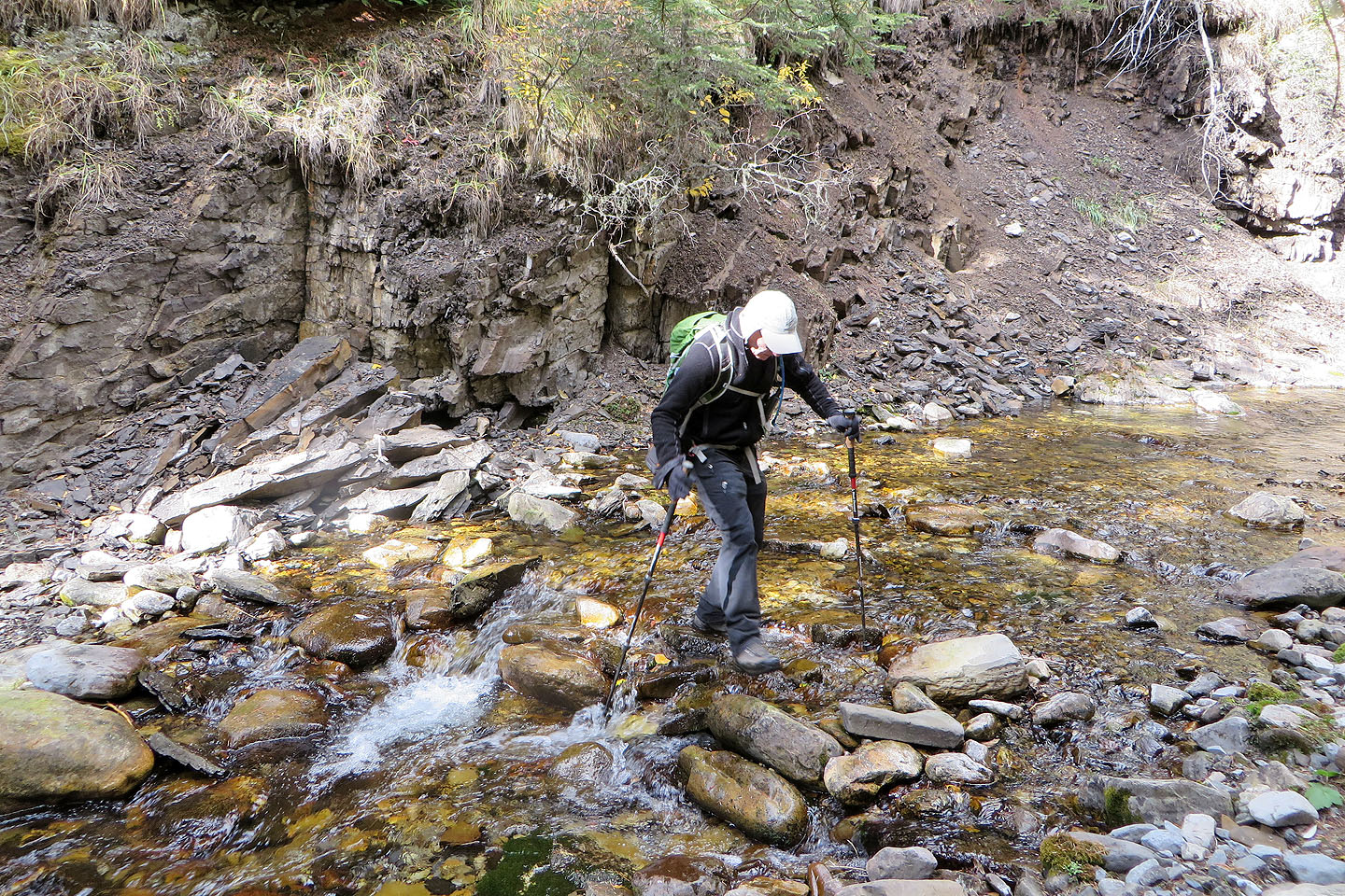
Crossing Cat Creek
We followed the road back. Ahead of Zosia is a hidden adit (mouse over) .
Baldy Ridge appears above us
82 J/7 Mount Head