bobspirko.ca | Home | Canada Trips | US Trips | Hiking | Snowshoeing | MAP | About

Tent Mountain (West Approach)
Crowsnest Pass, B.C.
May 18, 2014
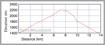
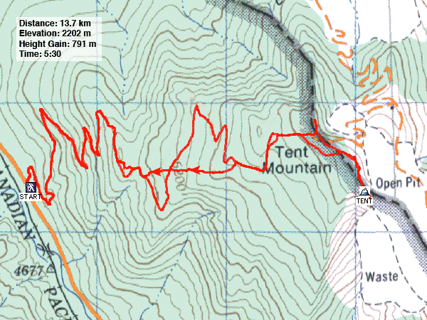
Distance: 13.7 km (8.5 mi)
Cumulative Elevation Gain: 798 m (2618 ft)
Sonny and I were totally unprepared to climb Tent Mountain. First, we couldn't reach the trailhead for the usual approach as Chinook Coal Road was closed. Second, I was betting that wind and sun would have cleared much of the snow off the barren slopes, so I told Sonny not to bring snowshoes. But the mountain turned out to be buried under deep snow. However, not bringing snowshoes turned out to be the right decision but for the wrong reason.
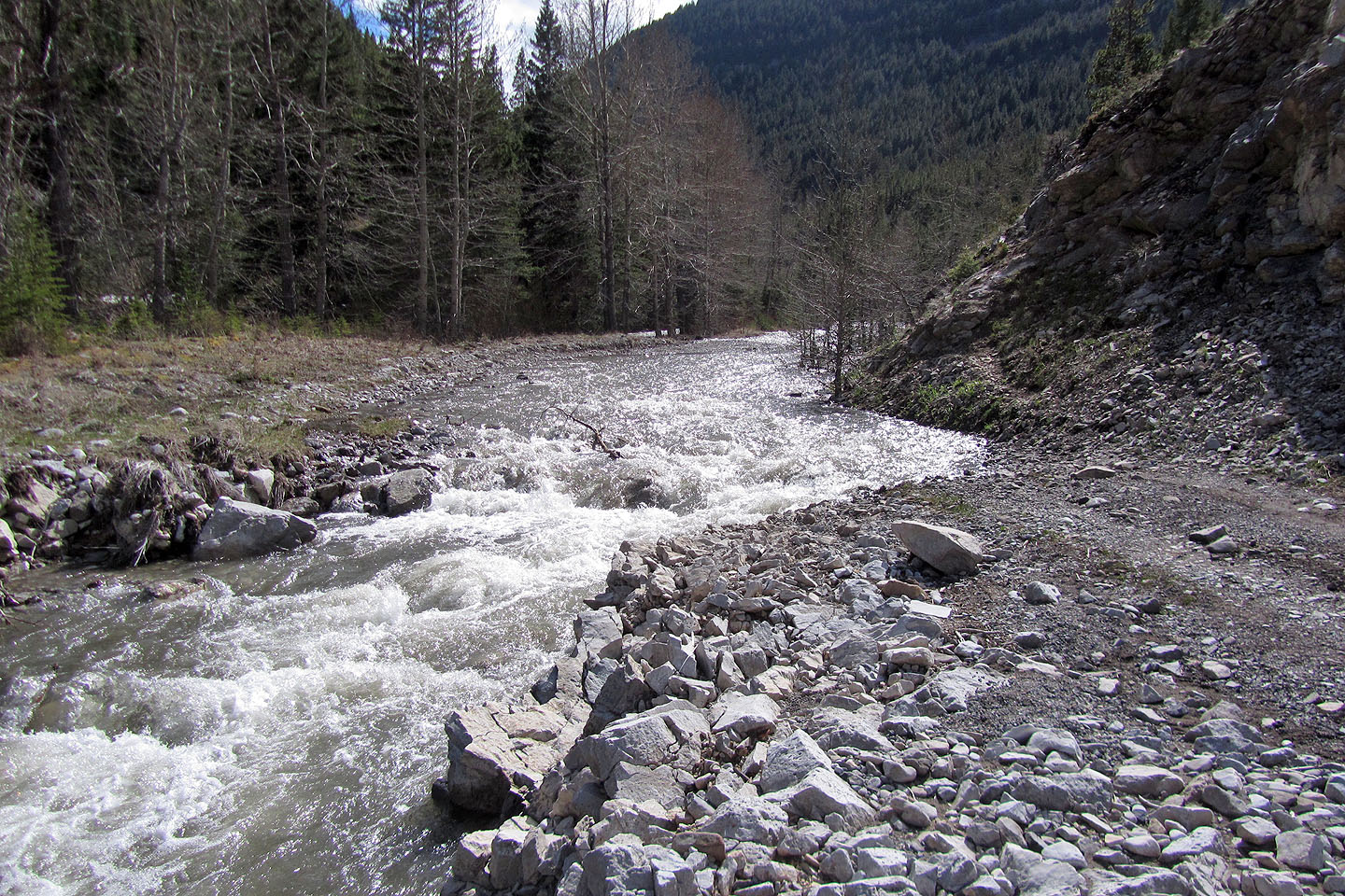
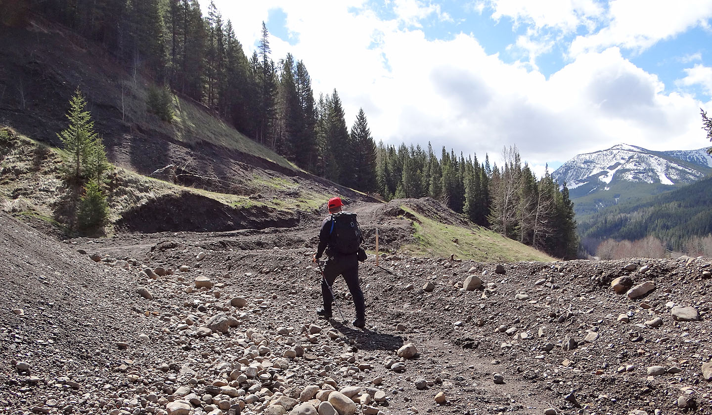
The usual approach for Tent Mountain runs north from a trailhead on Chinook Coal Road, but after we drove a kilometre, the road ended, washed out and flooded. My backup plan was to climb the adret on nearby Island Ridge, but Sonny proposed attempting Tent Mountain from the west side. The west side hadn't been mined, but the map showed a road going to the summit ridge. I hadn't taken this approach seriously as I hadn't been able to find any information about it. For all we knew the road was in grave disrepair and hopelessly overgrown. Nonetheless we decided to try it.
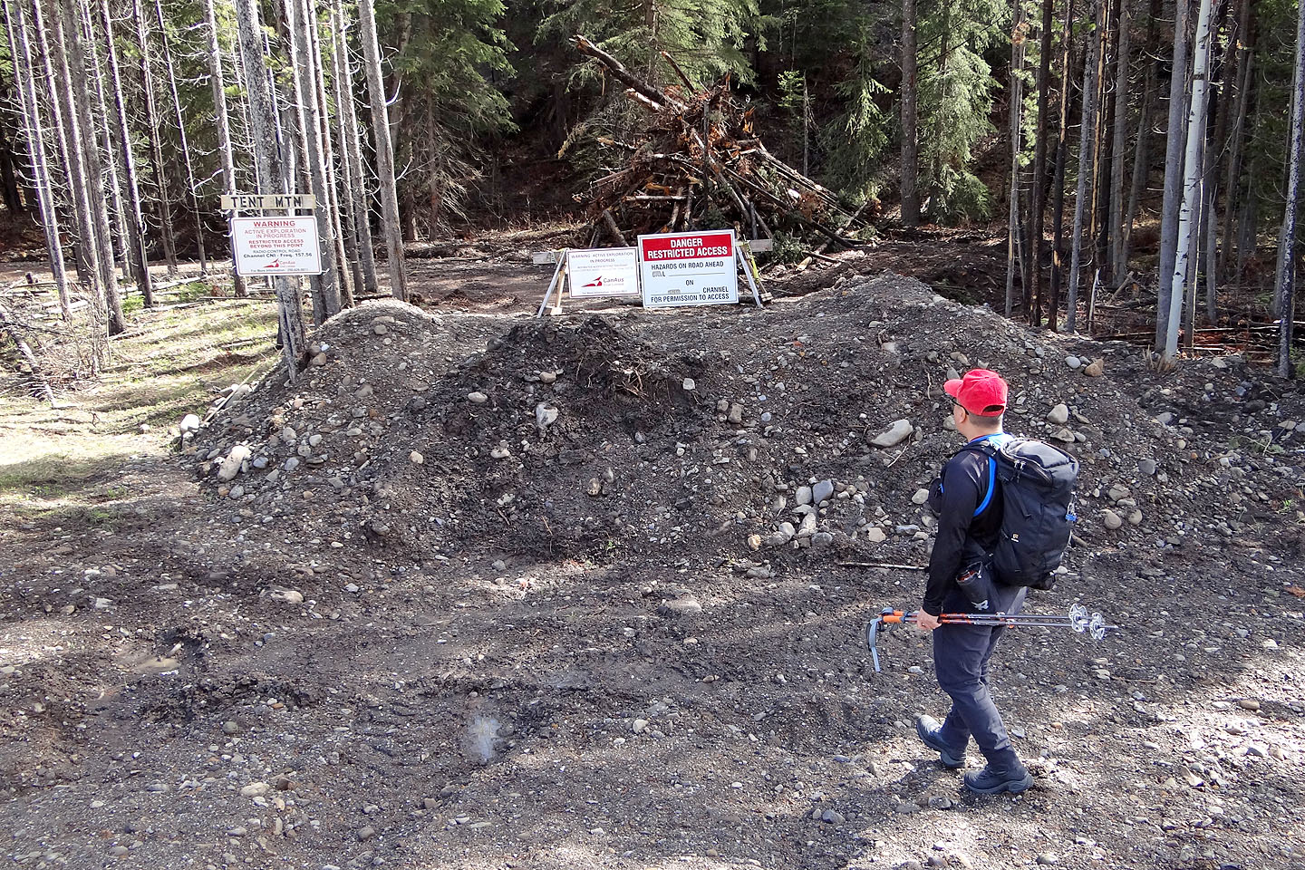
We got back onto Hwy. 3, crossed into B.C., and drove a short way to Corbin Road. After driving down the paved road for 10 km, we found the west road. It was generously signed with warnings, but none mentioned trespassing so up we went.
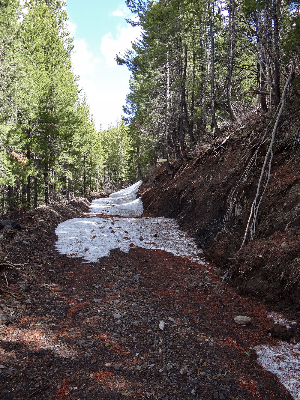
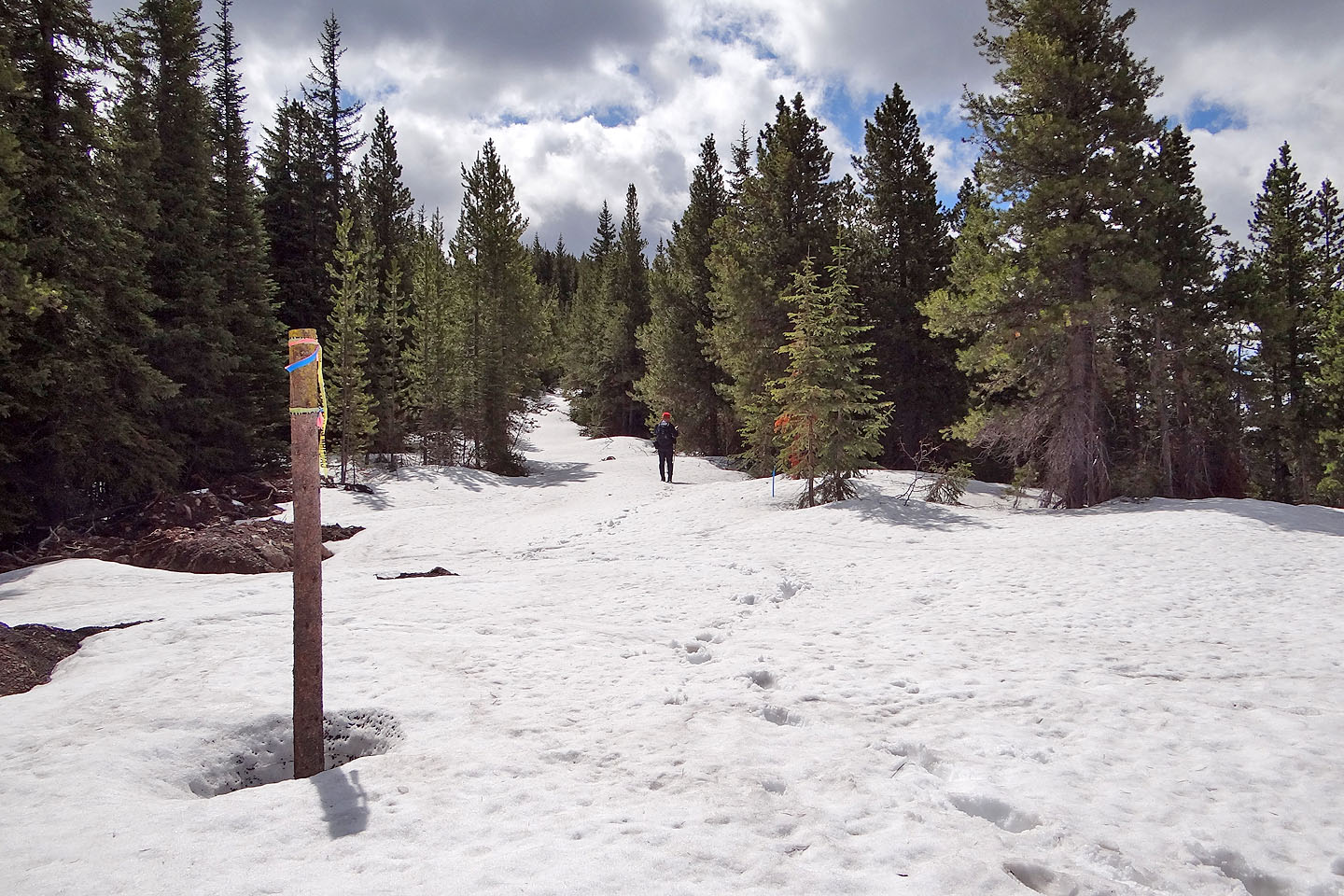
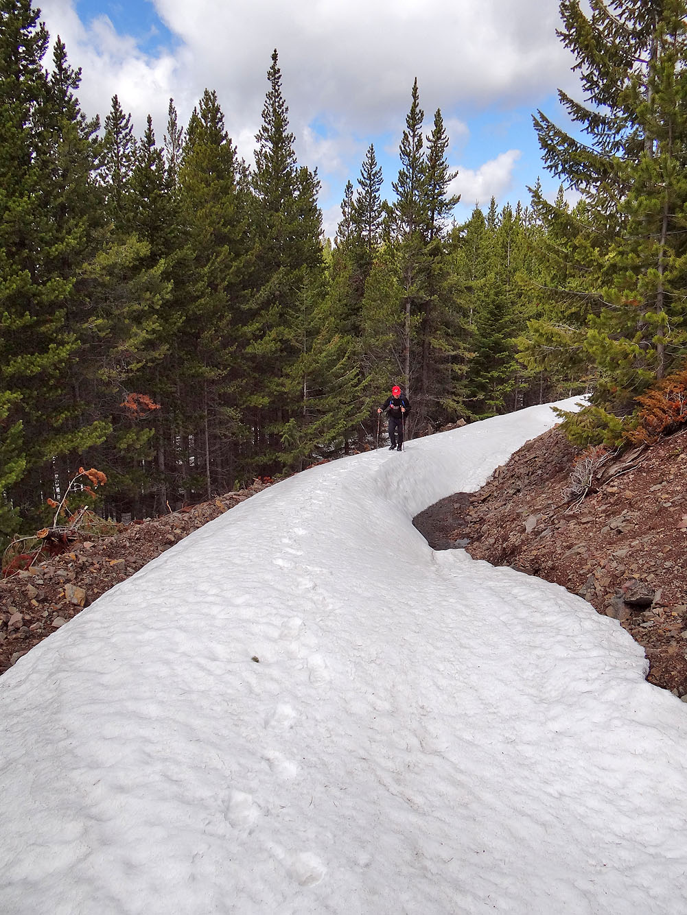
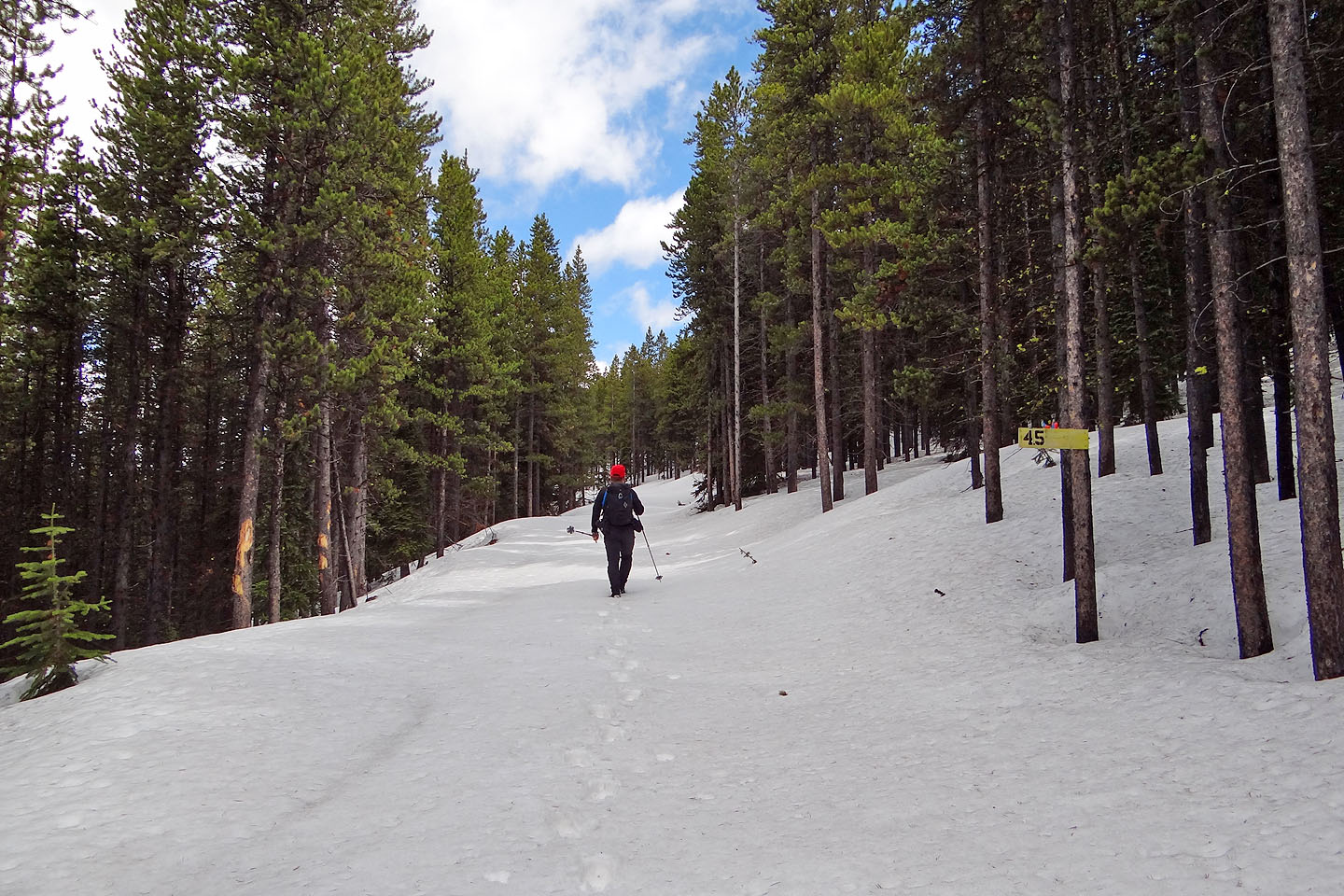
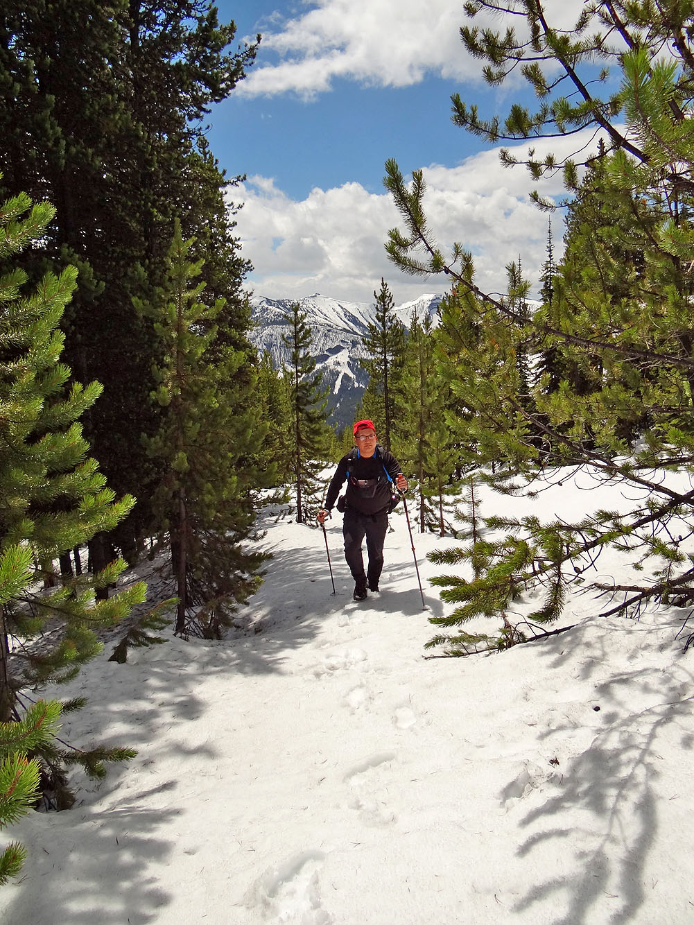
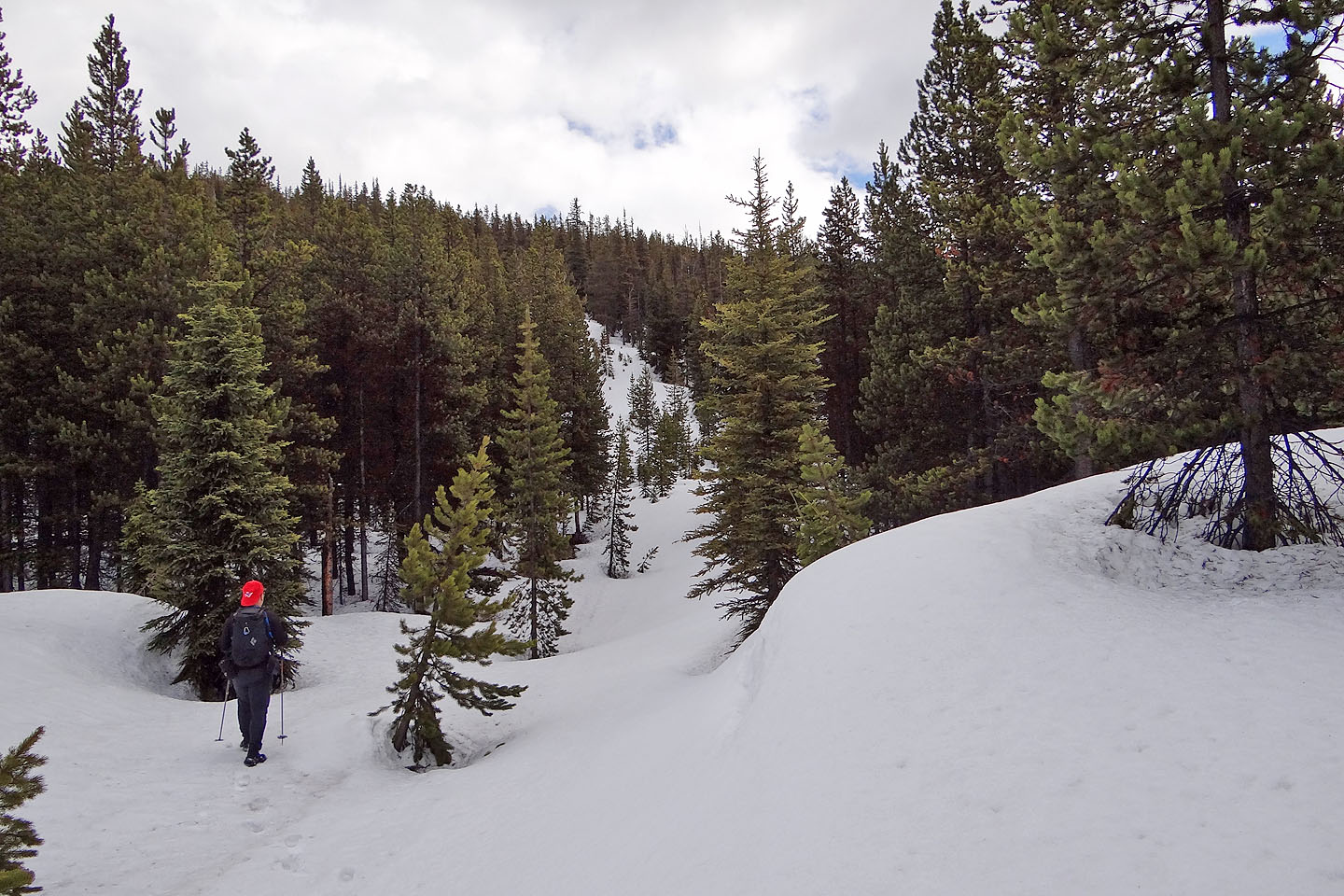
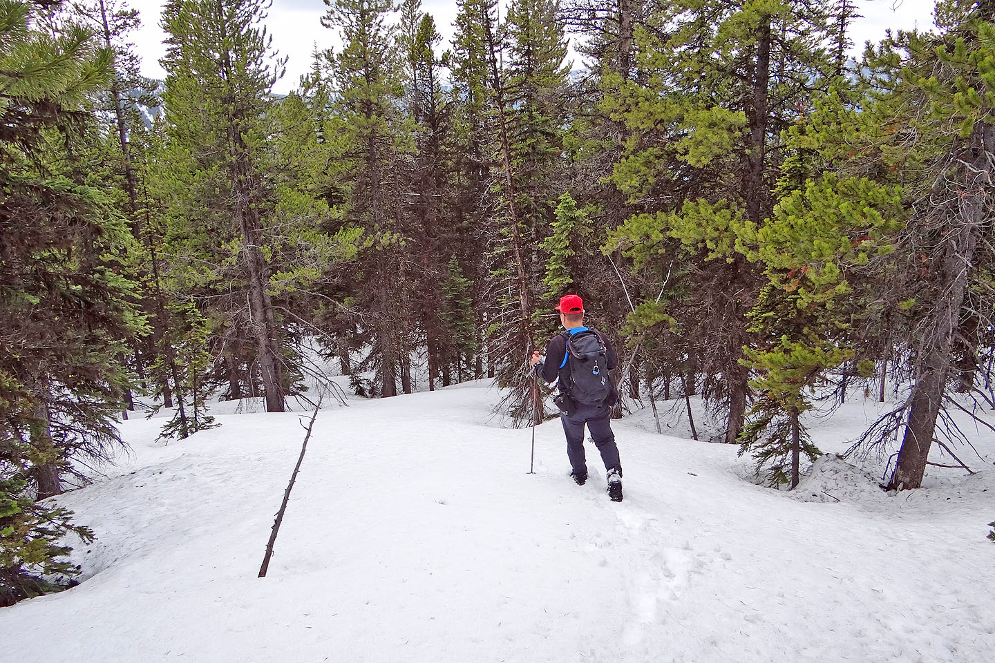
To our surprise, the road appeared maintained. The long switchbacks through trees were tedious, but it beat bushwhacking up the west slopes of Tent Mountain. Soon snow patches appeared. Despite the mild temperatures, however, the snow supported us. Occasionally did we punch through the crust to find ourselves knee- or even crotch-deep in snow. After reaching 1700 m, the snow cover on the road became a continuous blanket, uninterrupted by bare ground. And as we climbed, the snow surface strengthened; rarely did we break through. Incredibly, we climbed the last 500 m of elevation on deep snow without the benefit of snowshoes.
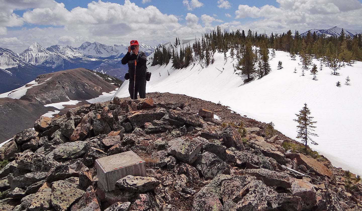
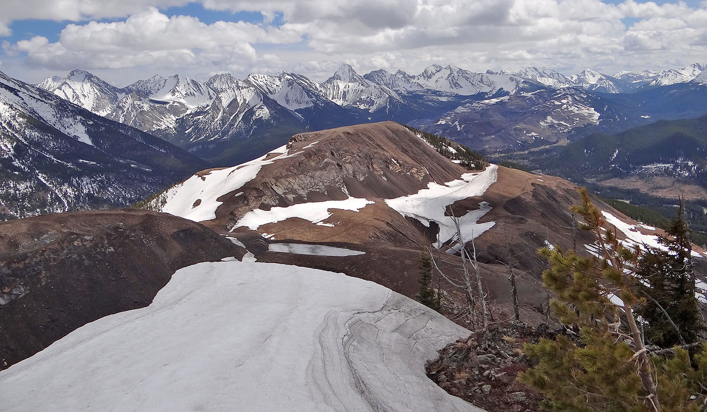
The summit was free of trees so we were granted good views in all directions. Snow-covered peaks like Mount Ptolemy and Mount Darrah caught my attention, but I was especially drawn to the devastation wrought by coal mining on the other side of Tent Mountain. To get a better look we followed the summit ridge nearly a kilometre to the north summit, just 20 m lower than the south summit.
When we had our fill of views, we started back down. Realizing we weren't confined to the squiggly road, we descended straight down the mountain until the snow began to disappear. Then we followed the road back to our car.
I still think it would be interesting to climb Tent Mountain using the north approach since it runs through the mining area. It may be feasible to bike or hike 3.5 km down the road to the trailhead. Otherwise take the west road. But if you find deep snow, don't count on being able to walk all the way to the summit as we did. Indeed, this route would obviously work well as a snowshoe trip.
Postscript: Mining operations have resumed on Tent Mountain and is no longer accessible to hikers.
KML and GPX Tracks
Sonny's Trip Report
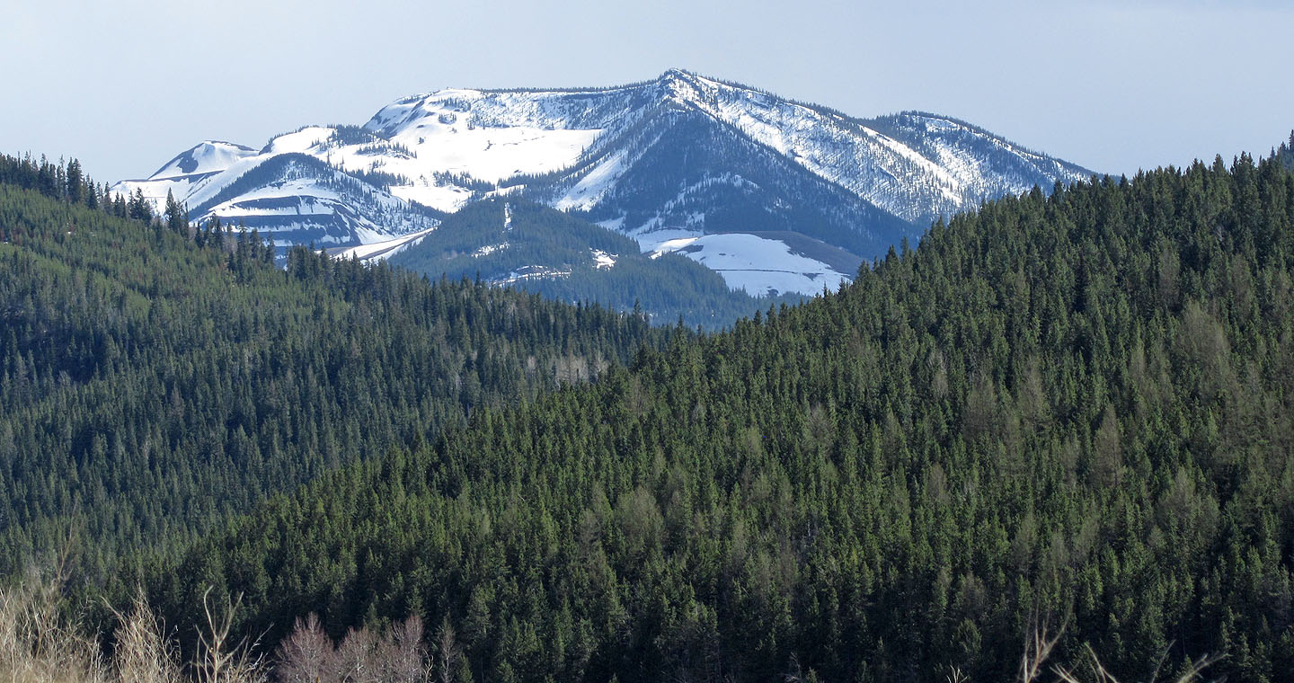
Tent Mountain from Hwy. 3. The summit is at the left end of the long ridge.
Chinook Coal Road ends abruptly after a kilometre
The start of the west road on Corbin Road (mouse over to read the signs on the left)
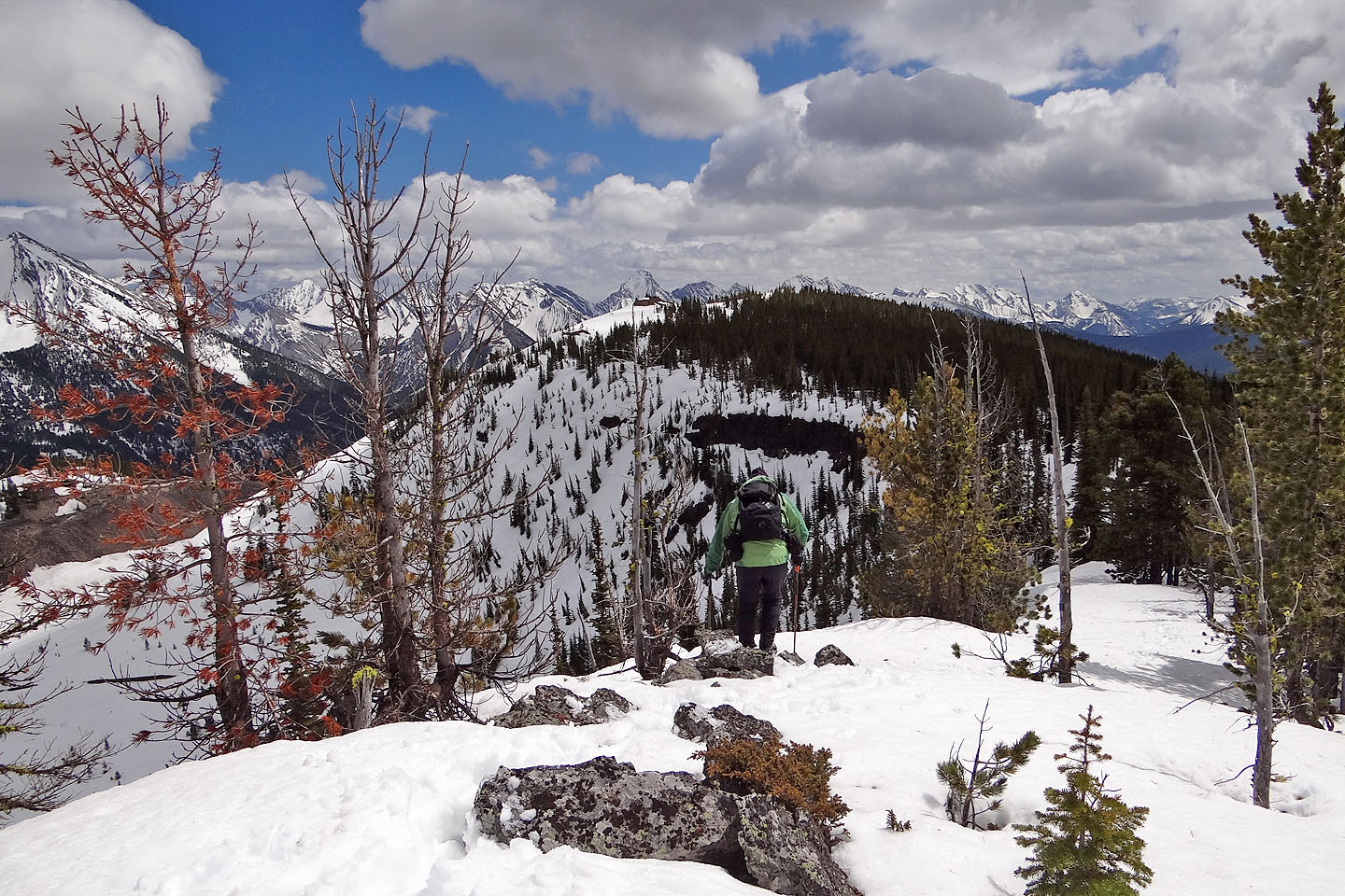
Within minutes we were treated to some views
Soon we began hitting snow patches
After 1700 m the snow cover on the road was uninterrupted
This gives an indication how deep the snow was at times
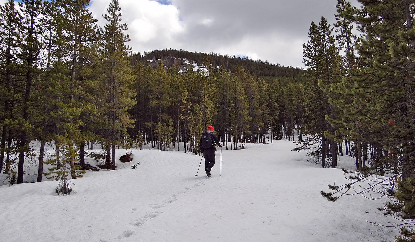
We reached the 4.5 km mark on the road
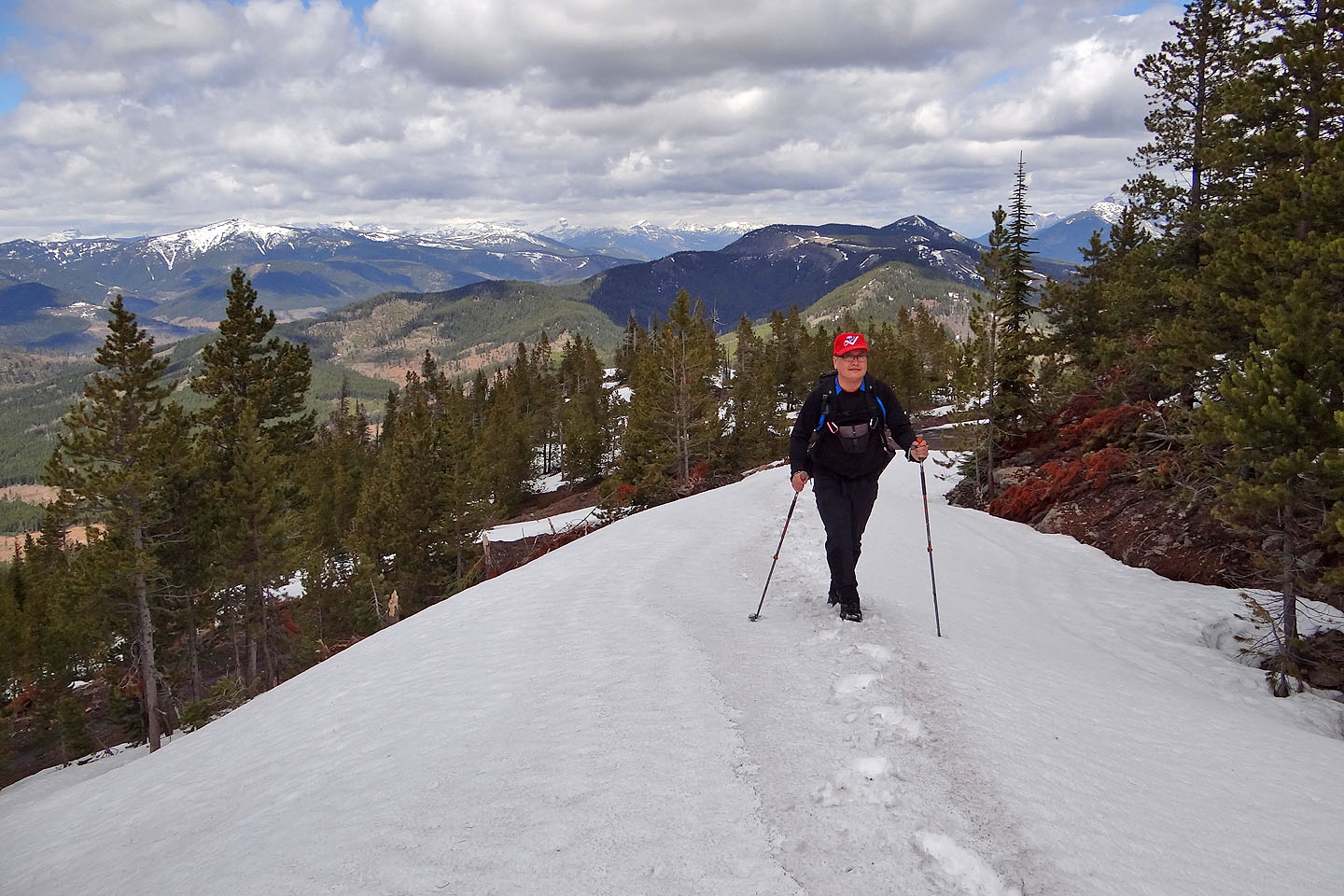
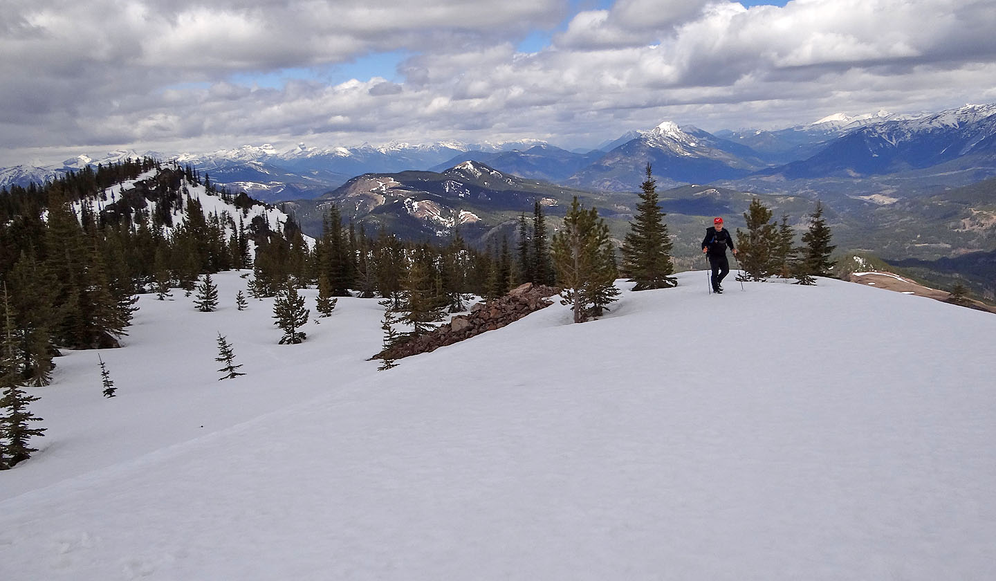
Views to the northwest break out
I thought this was the summit ridge but it's actually a low intervening ridge
The road ahead narrowed
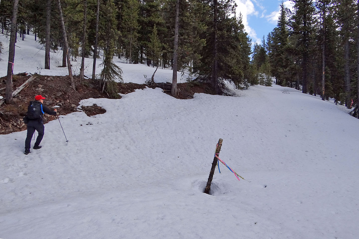
We're not sure we're even on a road!
We came to a road that led to the summit ridge
On the summit ridge. The north summit is on the left.
The south summit lies 300 m away
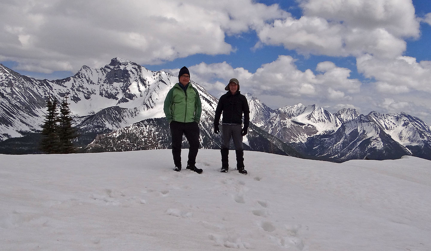
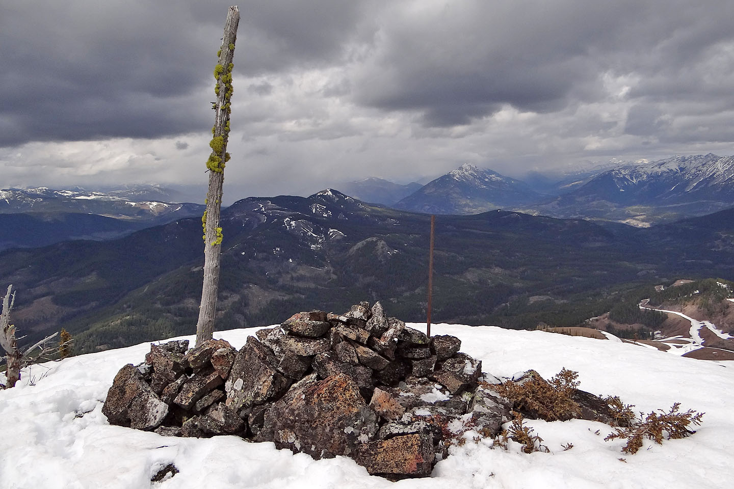
On the summit
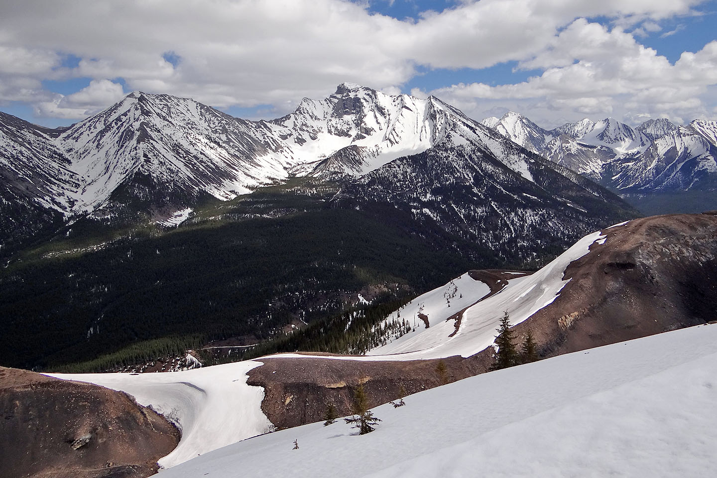
Mount Ptolemy
Mount Darrah
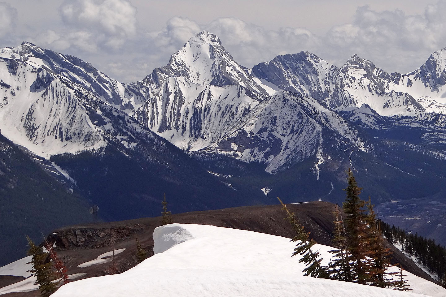
On the skyline: Philipps Peak, Mount Tecumseh, Seven Sisters Mountain, Crowsnest Mountain,
and Sentry Mountain.
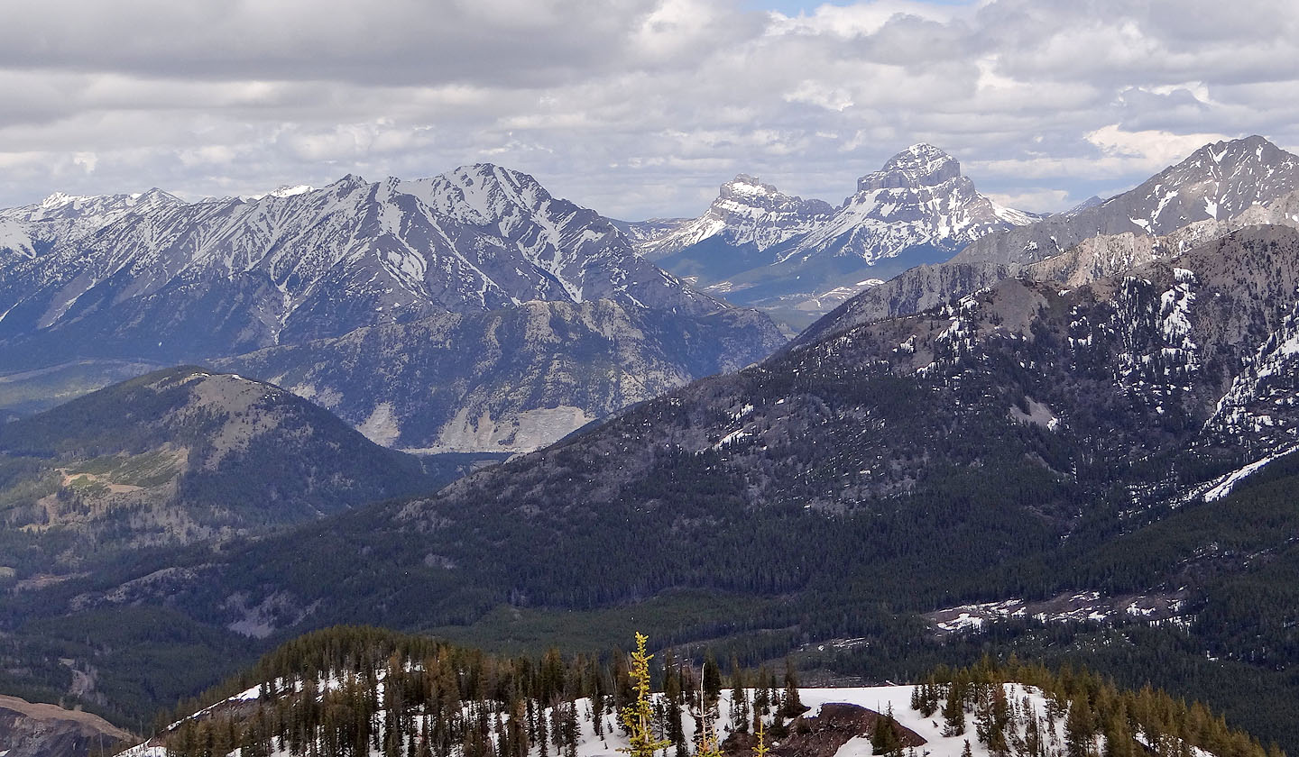
Left in the foreground are Island Ridge and Crowsnest Ridge.
The south end of Tent Mountain
Looking north from the north summit. Loop Ridge in the foreground.
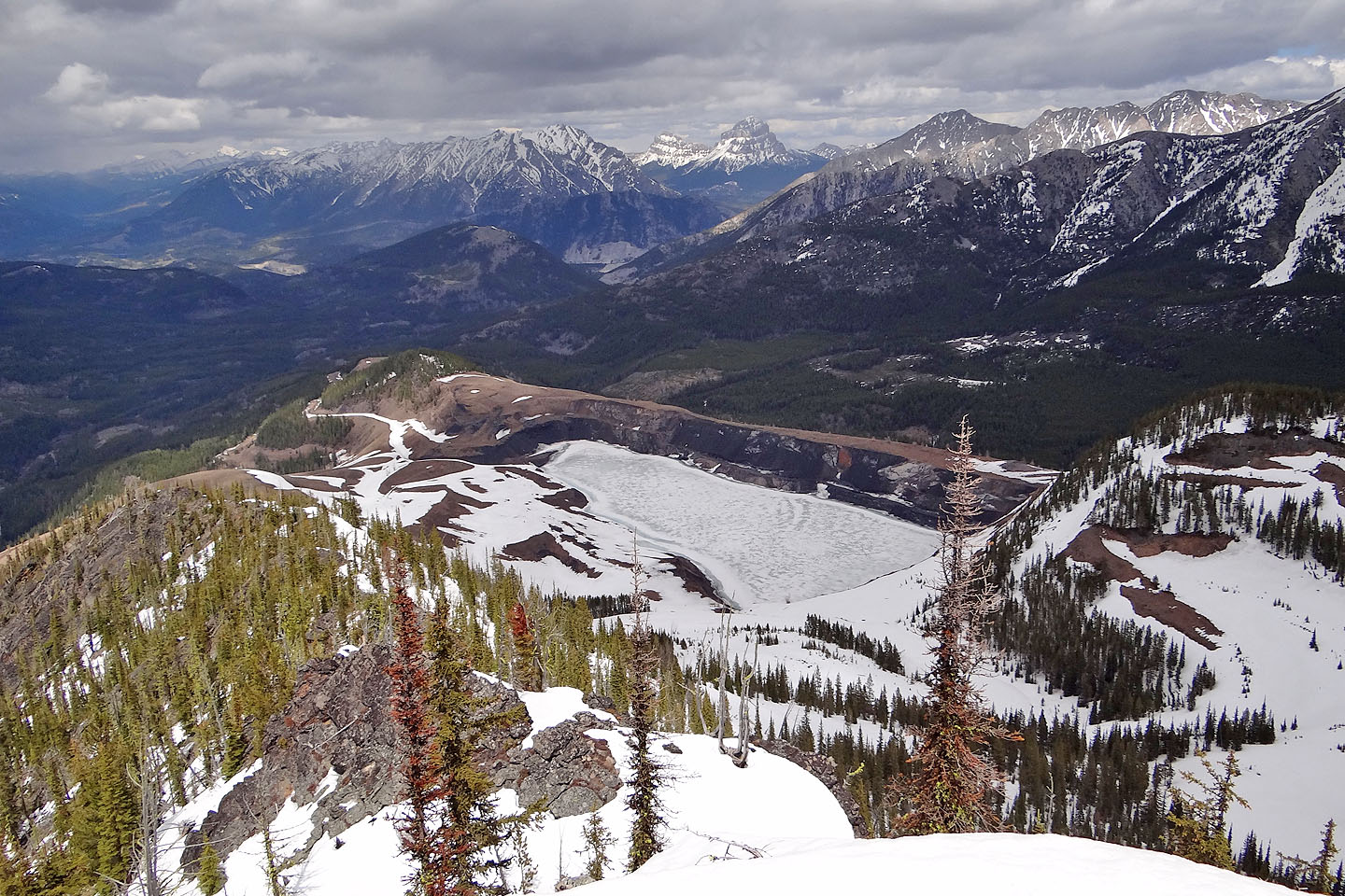
The open pit mine with a frozen lake
Looking back at the south summit
No road needed for our descent. We took a shortcut straight down.
82 G/10 Crowsnest