bobspirko.ca | Home | Canada Trips | US Trips | Hiking | Snowshoeing | MAP | About
Carbondale Hill
Castle Provincial Park, Alberta
December 24, 2005
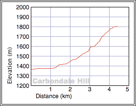
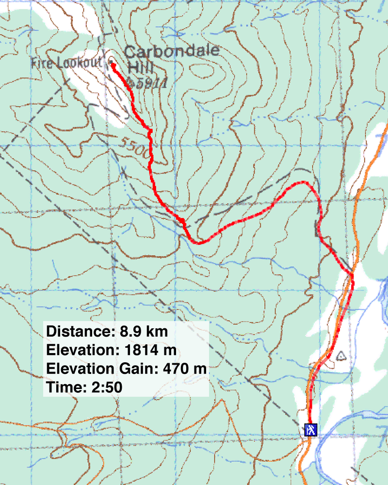
Distance: 9.0 km (5.6 mi)
Cumulative Elevation Gain: 445 m (1460 ft)
I looked forward to hiking up Carbondale Hill for the views of the mountains west. Unfortunately, Dinah and I saw nothing of these mountains because of low cloud cover. The hike itself was humdrum and the weather miserable. Although not very cold, rain whipped by high winds made for an unpleasant journey.
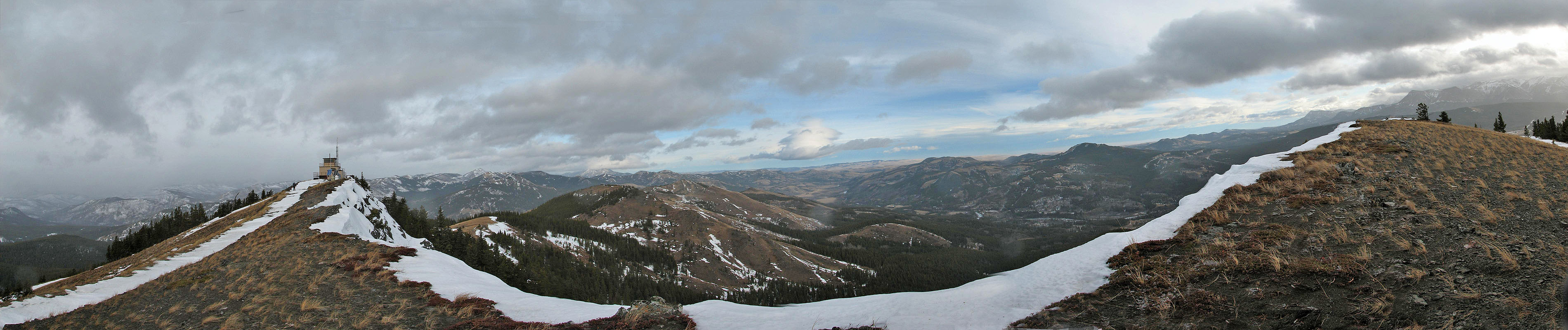
The road to the trailhead was gated, so we had to walk a kilometre to the trailhead. The trail is actually a 4X4 road leading to a lookout on the summit. But we soon tired of the road and left it to follow the ridge to the summit. Because of the rain, I could only take a panorama looking east.
Had been a nicer day, I'm sure I would have presented a more favourable trip report. Nonetheless I think Carbondale Hill is a worthwhile off-season hike.
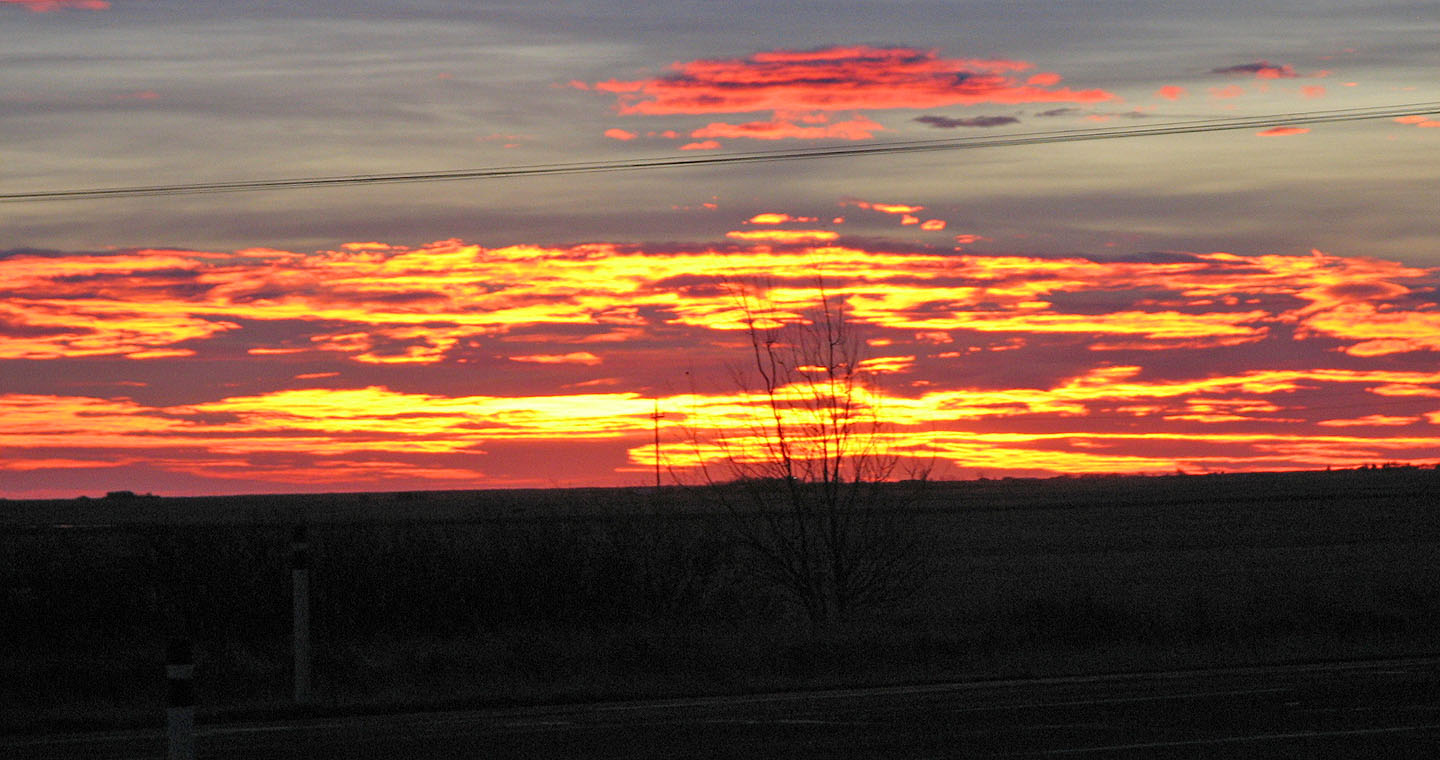
Molten sunrise as we drive to the trailhead
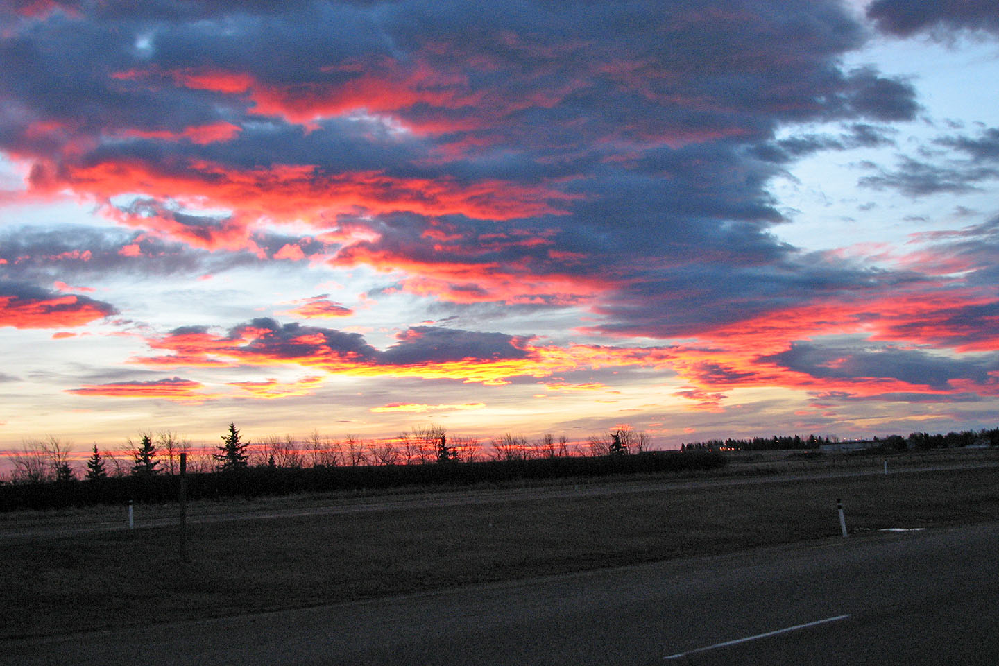
Minutes later, sunrise turns from yellow to red
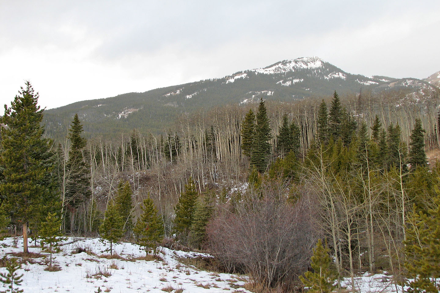
Carbondale Hill from the road
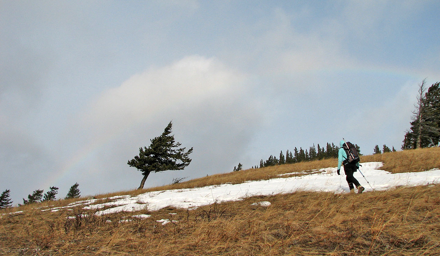
Faint rainbow arches over a leaning tree
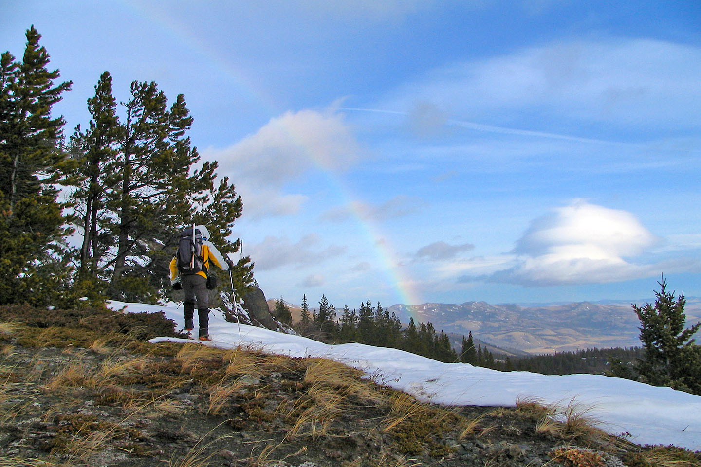
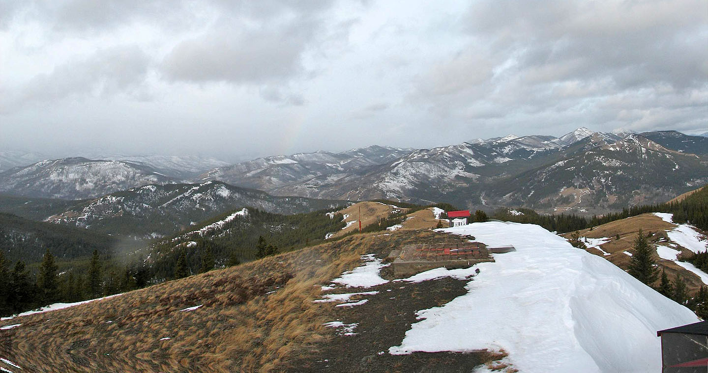
Rainbow and mushroom-shaped cloud
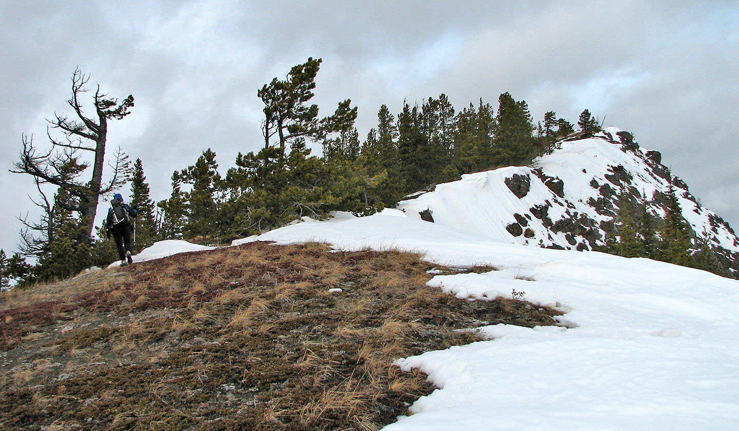
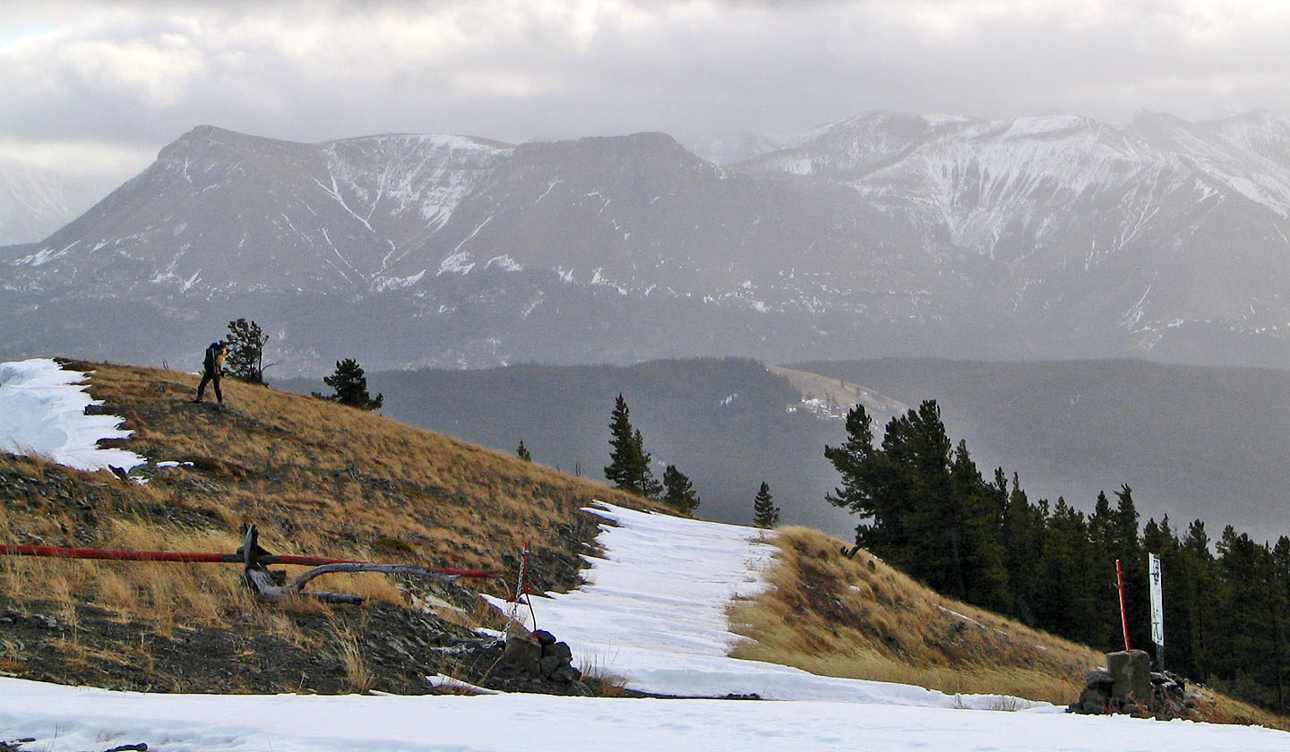
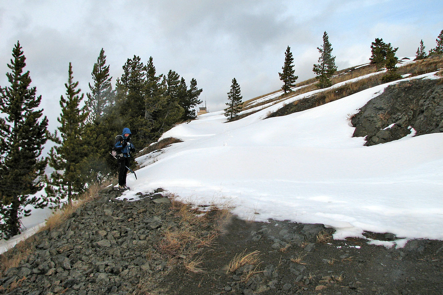
Minutes away from the top
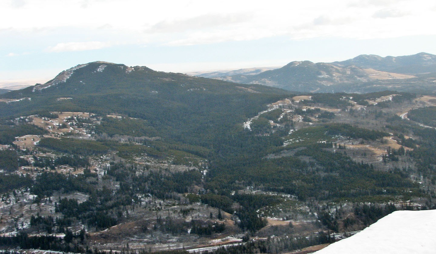
Mount Backus to the east
Looking south at Table Mountain
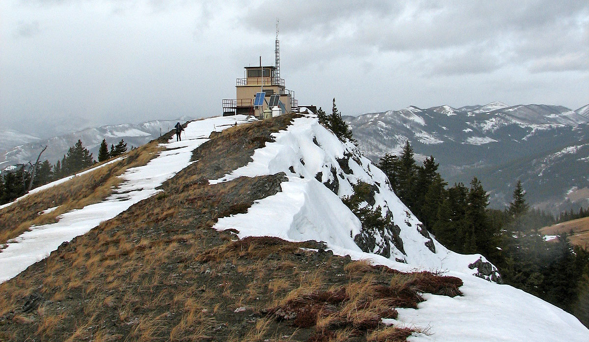
Carbondale Lookout
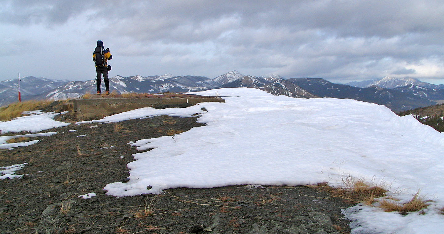
Standing on the helicopter pad. Hillcrest Mountain on the right.
Looking northwest along the ridge
Looking back at the lookout on the descent
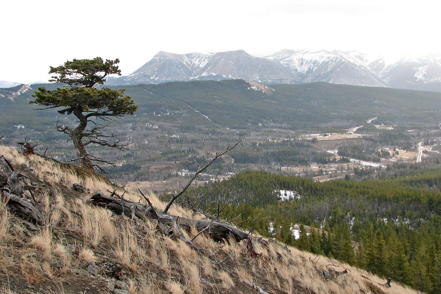
Another view of Table Mountain
82 G/8 Beaver Mines