bobspirko.ca | Home | Canada Trips | US Trips | Hiking | Snowshoeing | MAP | About
Bow Peak
Banff National Park, Alberta
September 12, 2009
Distance: 14.1 km (8.8 mi)
Cumulative Elevation Gain: 980 m (3215 ft)
Our hike up Bow Peak played out as described in Don't Waste Your Time in the Canadian Rockies. There were no surprises and the views lived up to the premiere rating that the book gave. There's no lack of stunning alpine scenery on this trip. We did, however, find ample parking off the pavement at the trailhead, so there is no need to park 300 m away like the book says.
We hiked down a good trail to the Bow River and forded the calf-deep water. Because of the tree canopy, there was little to see until we reached the pass. From the spacious pass, however, we looked north at the peaks lining the Icefields Parkway corridor.
We started up the boulder slope, heading toward what later proved to be a false summit. From it, an easy ridge walk led to the highest point on Bow Peak.
It was a remarkably warm day, and we didn't require jackets for the entire trip including the summit. Having climbed several peaks on the east side of the parkway, we now enjoyed seeing them from the west side.
Rather than come down the boulder slope, we used a scree gully south of our ascent to quickly return to the trail on the pass. We made our way back to the car, startling a grouse in the process.
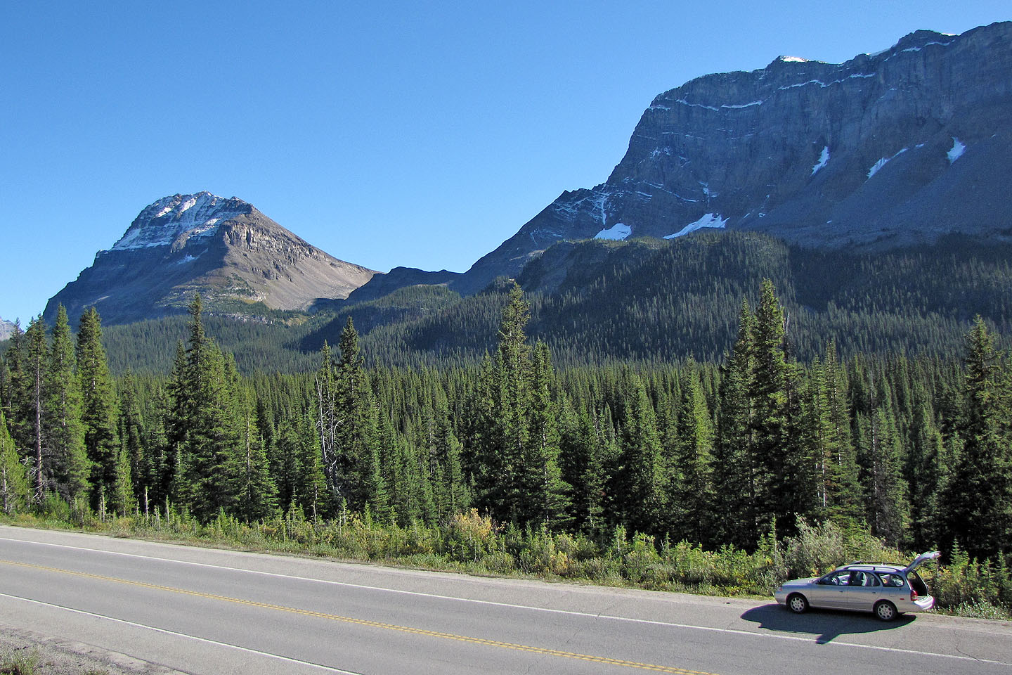
Bow Peak (left) seen from the trailhead
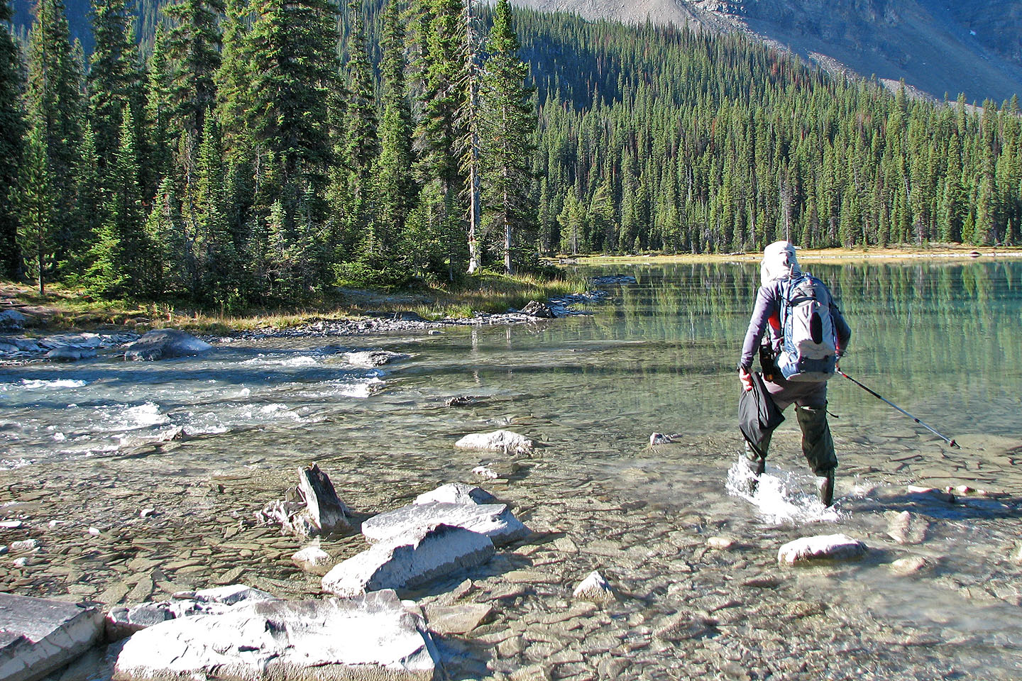
Starting across
the creek
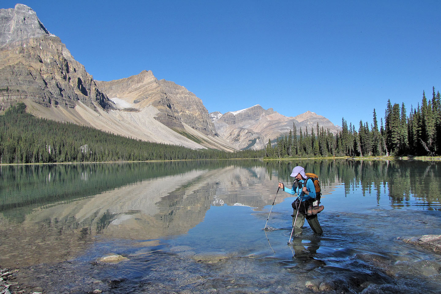 Looking across the lake
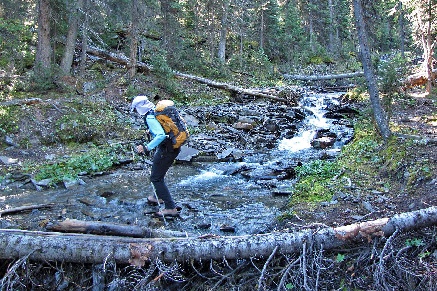
Another, easier creek crossing
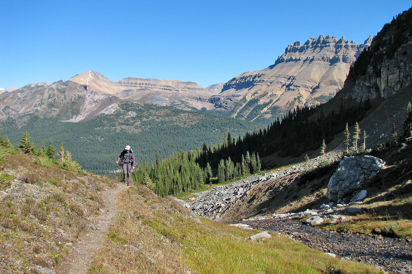
Reaching the pass. Cirque Peak (left) and Dolomite Peak (right)
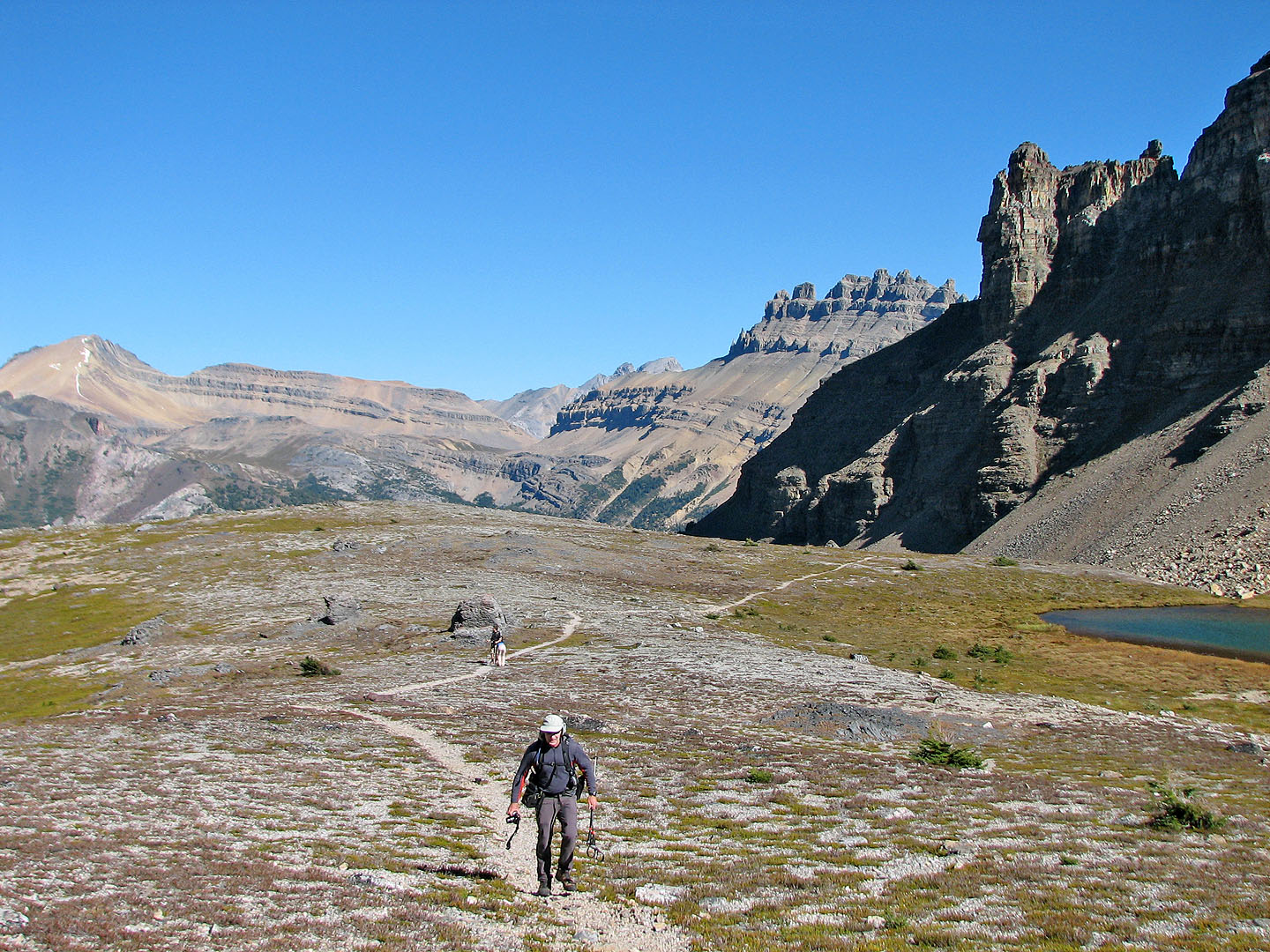
On the pass
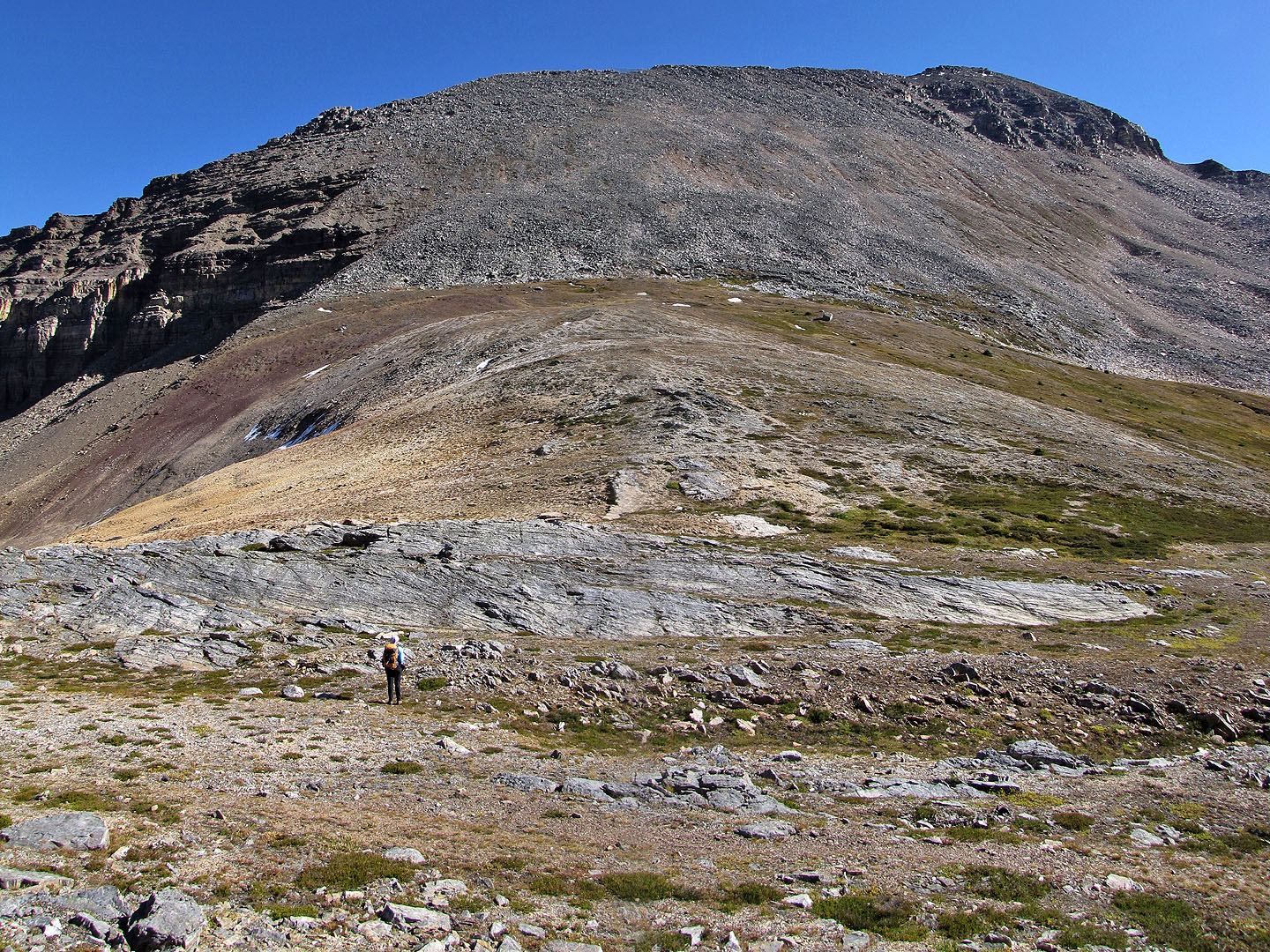
Bow Peak from the pass
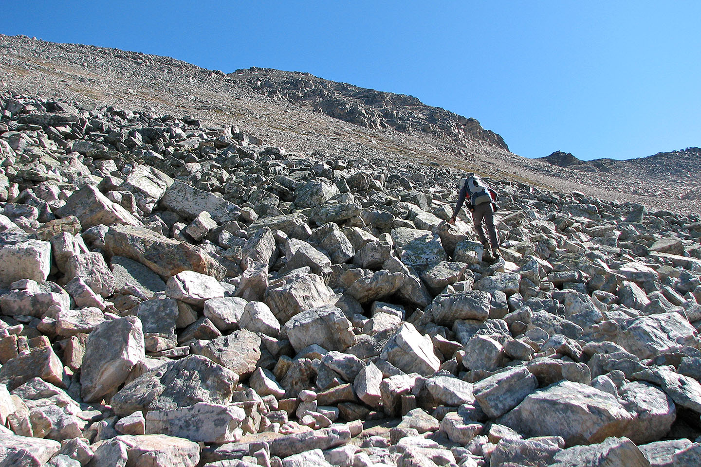
Scrambling up the boulders
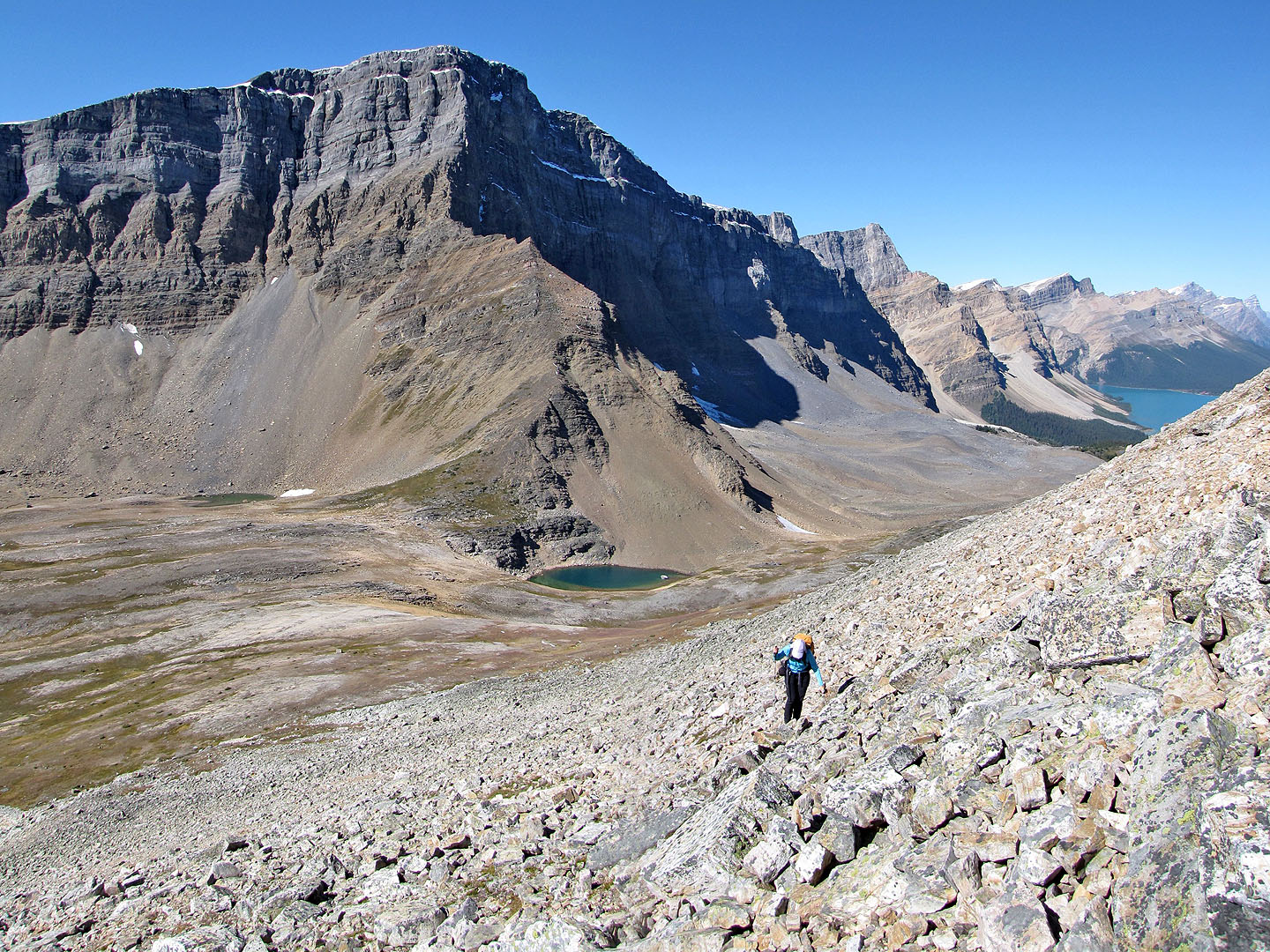
Looking down at the pass
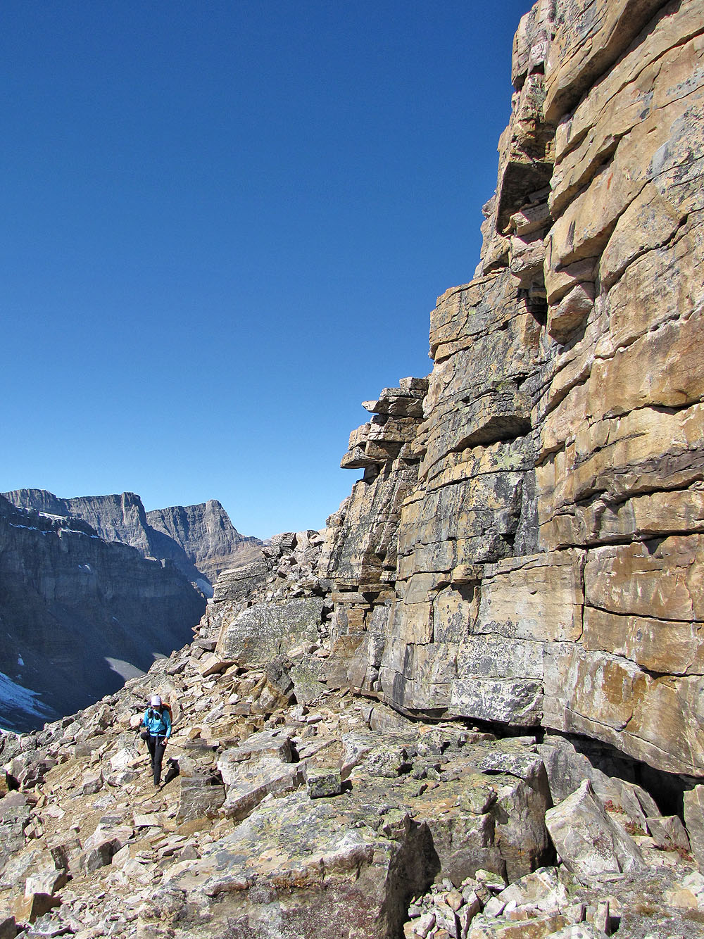
Skirting a rock wall
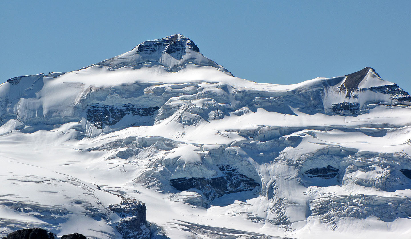
Mount Balfour
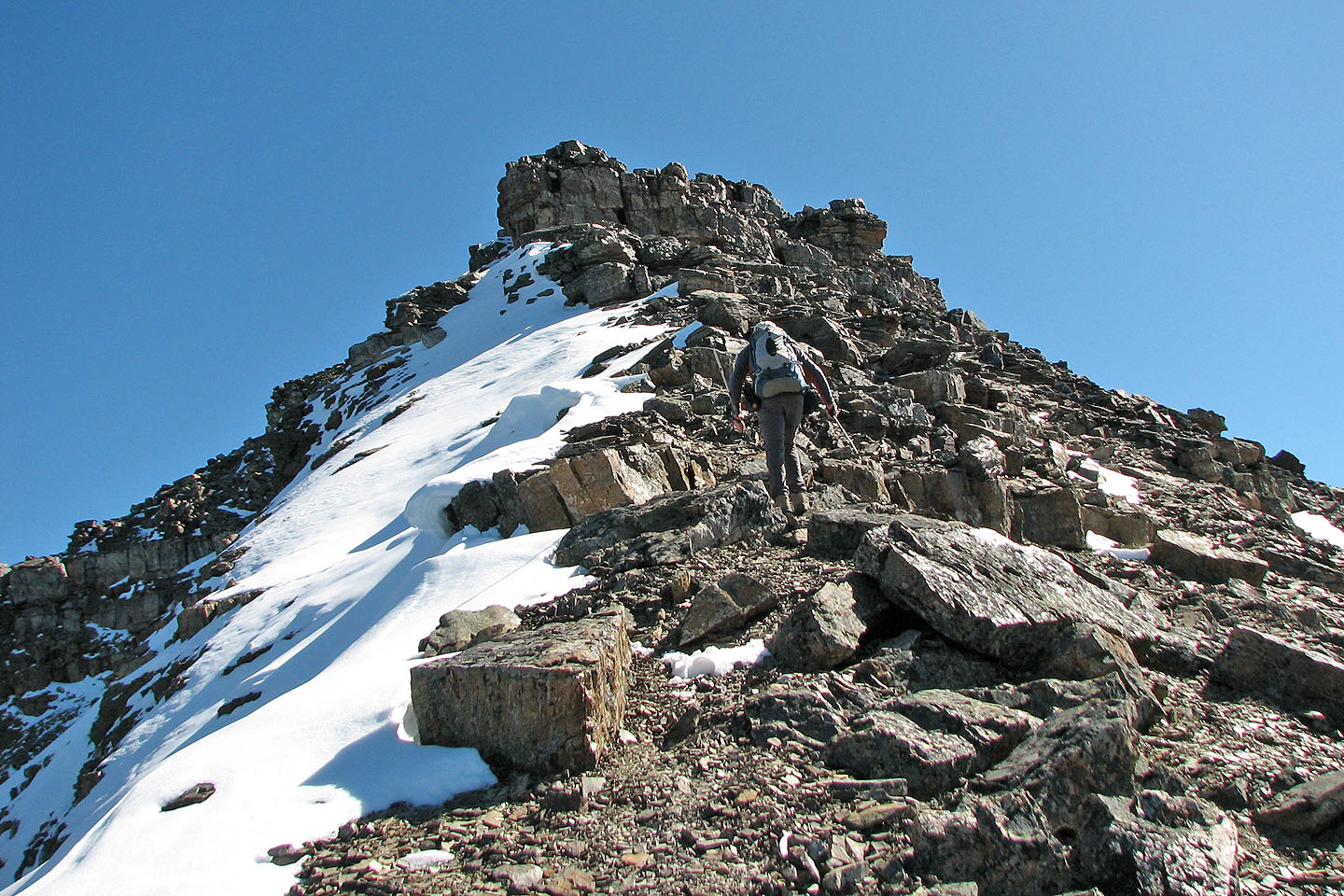
On the ridge heading to the false summit
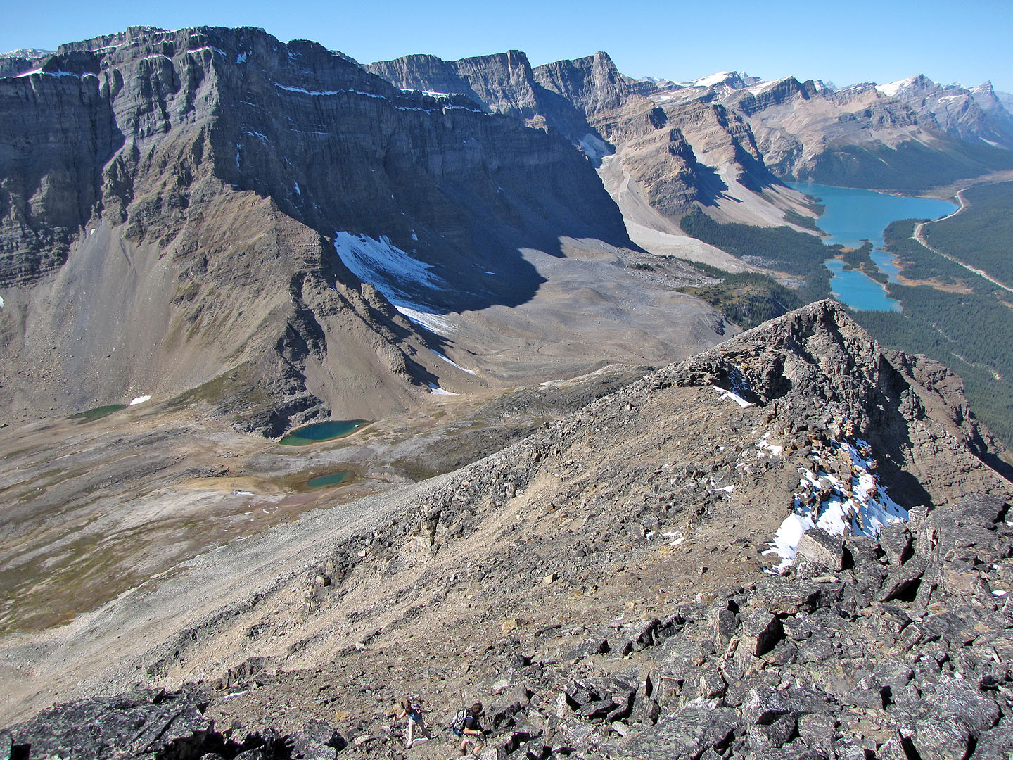
Looking down at the pass and Bow Lake
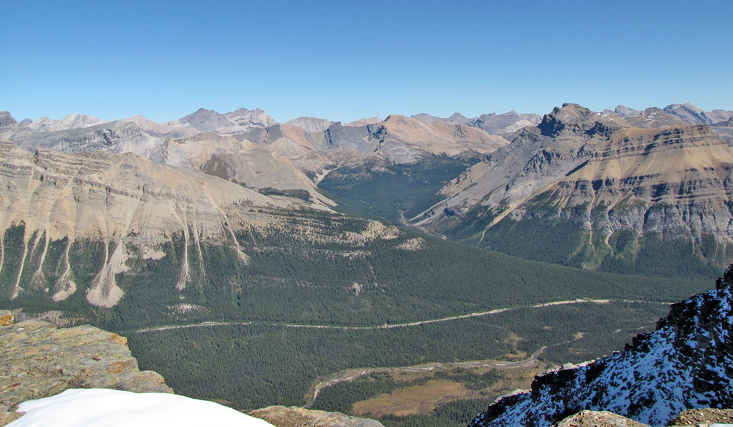
Mosquito Peak (centre, mouse over for a close-up) and Noseeum Mountain right
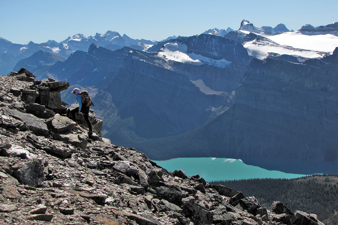
Mount Daly (mouse over) and Hector Lake
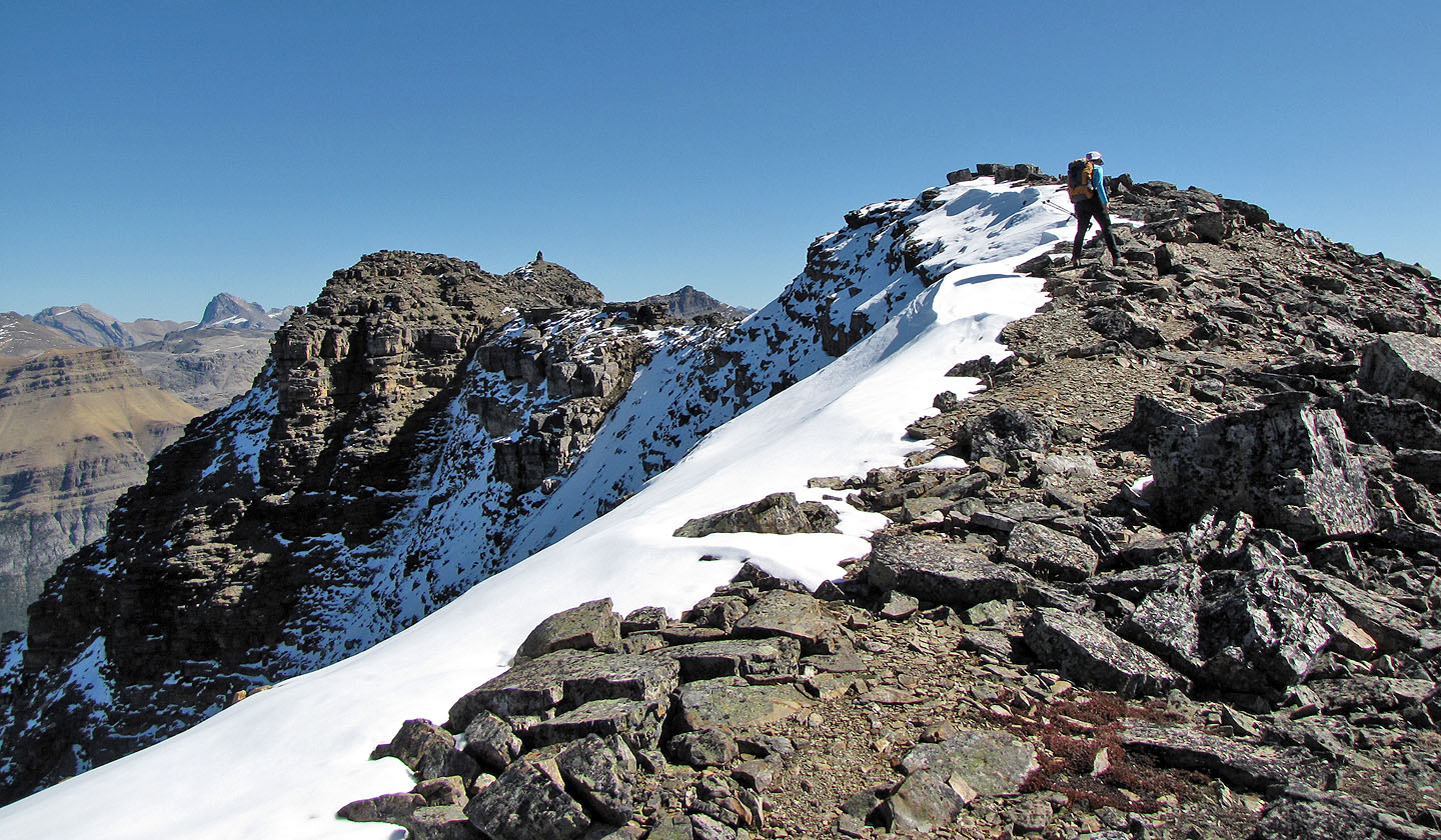
The ridge walk to the summit
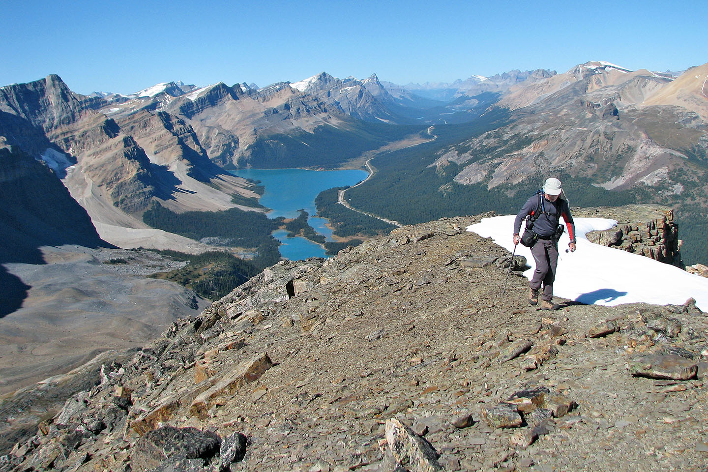
Views north
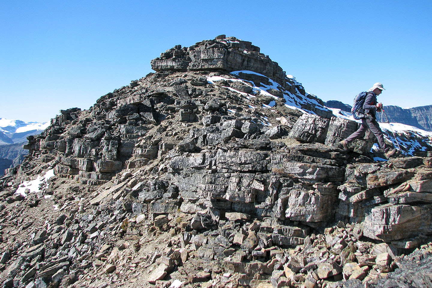
Leaving the false summit
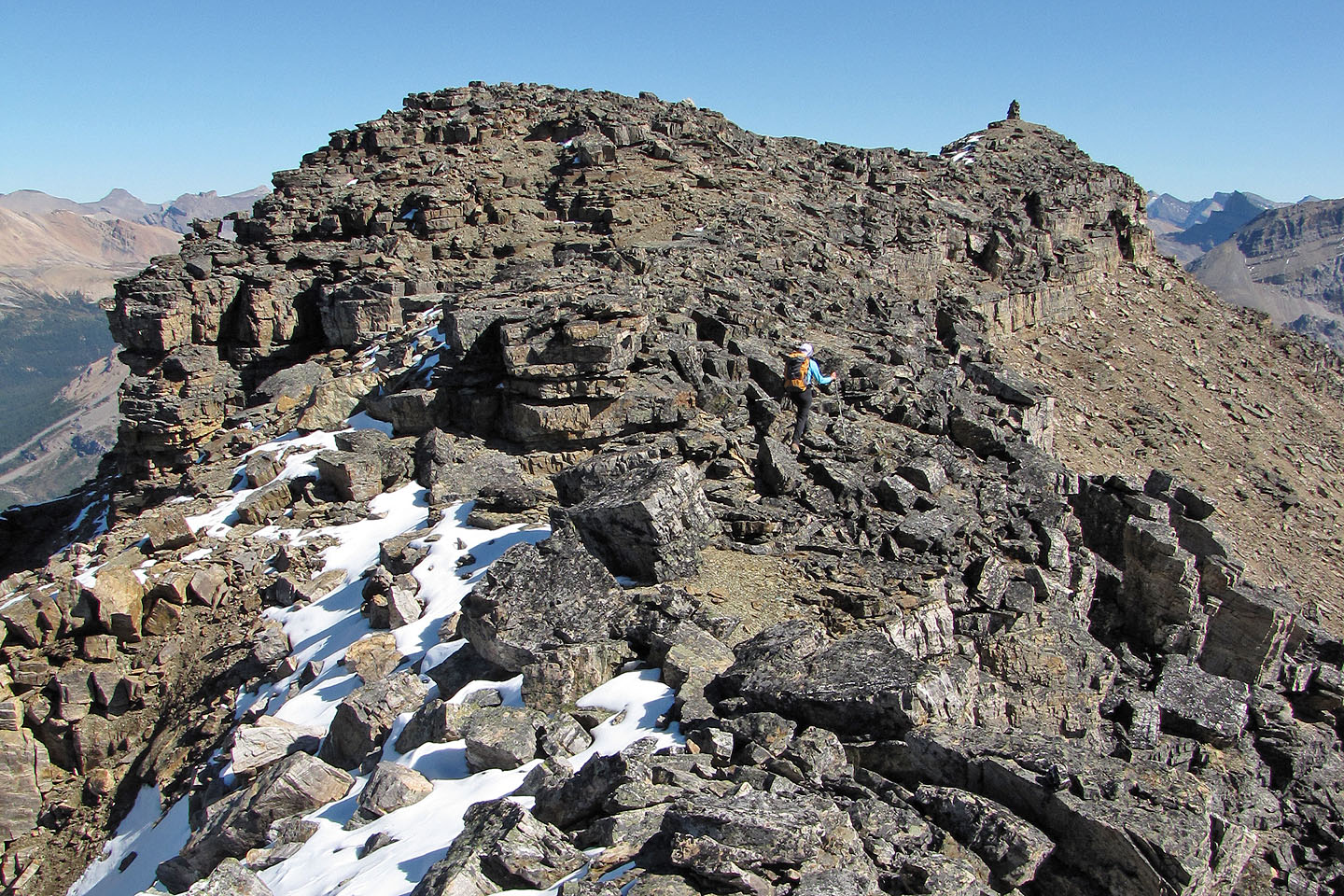
Almost there!
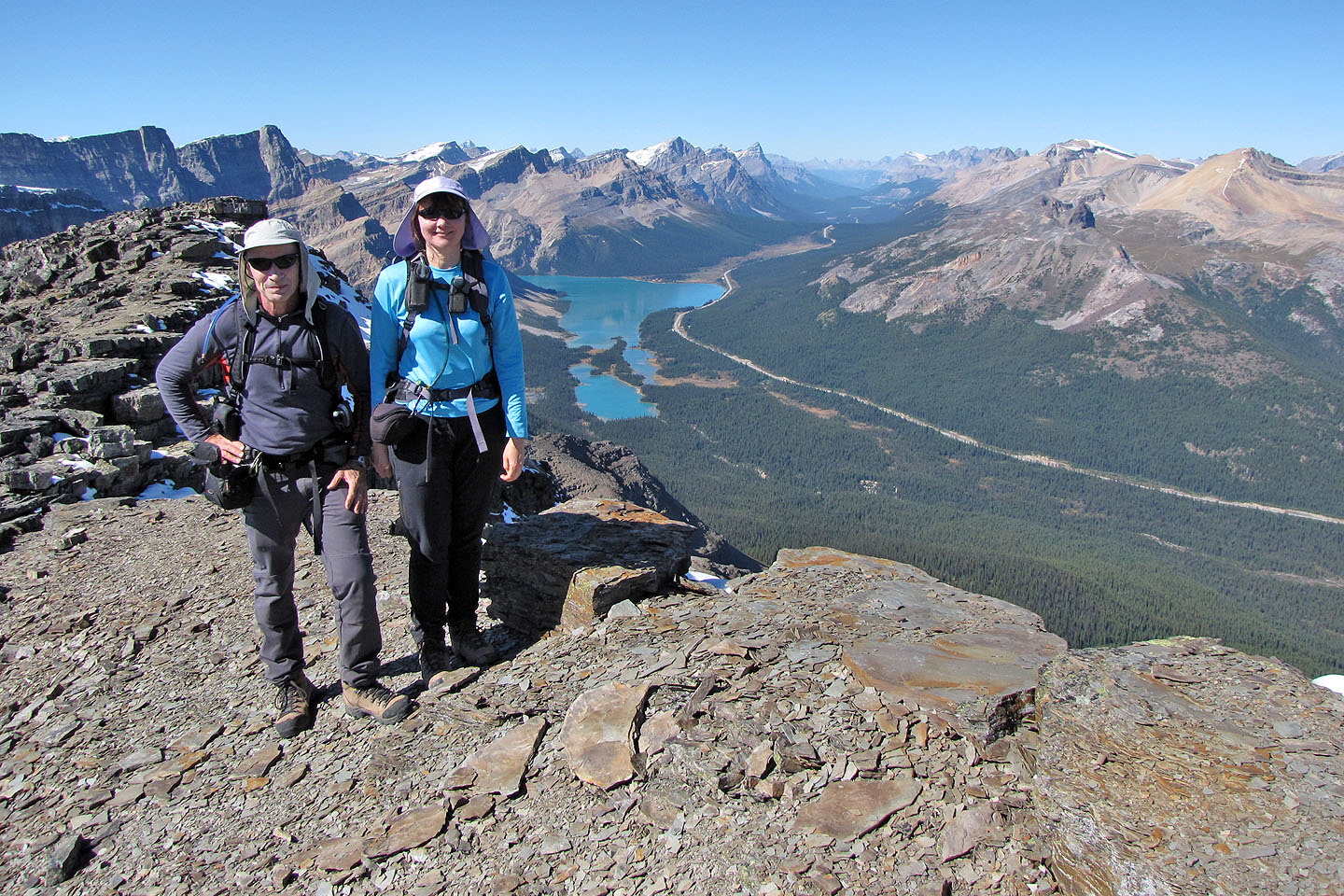
On the summit
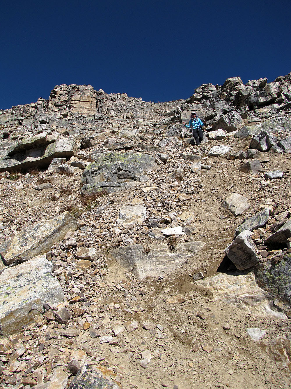
Descending the scree gully
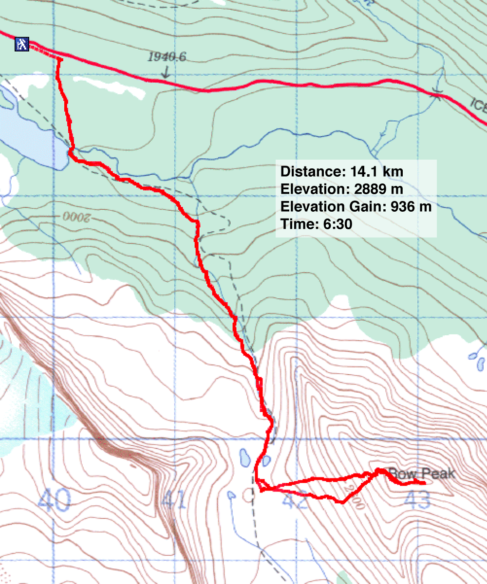
82 N/9 Hector Lake
