bobspirko.ca | Home | Canada Trips | US Trips | Hiking | Snowshoeing | MAP | About
Black Mountain
Bob Creek Wildland, Alberta
November 28, 2009
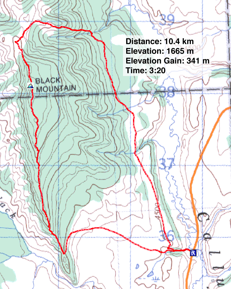
Distance: 10.4 km (6.5 mi)
Cumulative Elevation Gain: 345 m (1132 ft)
While driving down Hwy. 22, Dinah and I had a bad feeling about this trip. Trucks were parked everywhere alongside the road, signaling the last weekend of the hunting season. Even the trailhead was crowded with trucks. Although we never saw anyone throughout the trip, we could never shake the feeling that we were not alone; we never felt the solitude we appreciate and enjoy.
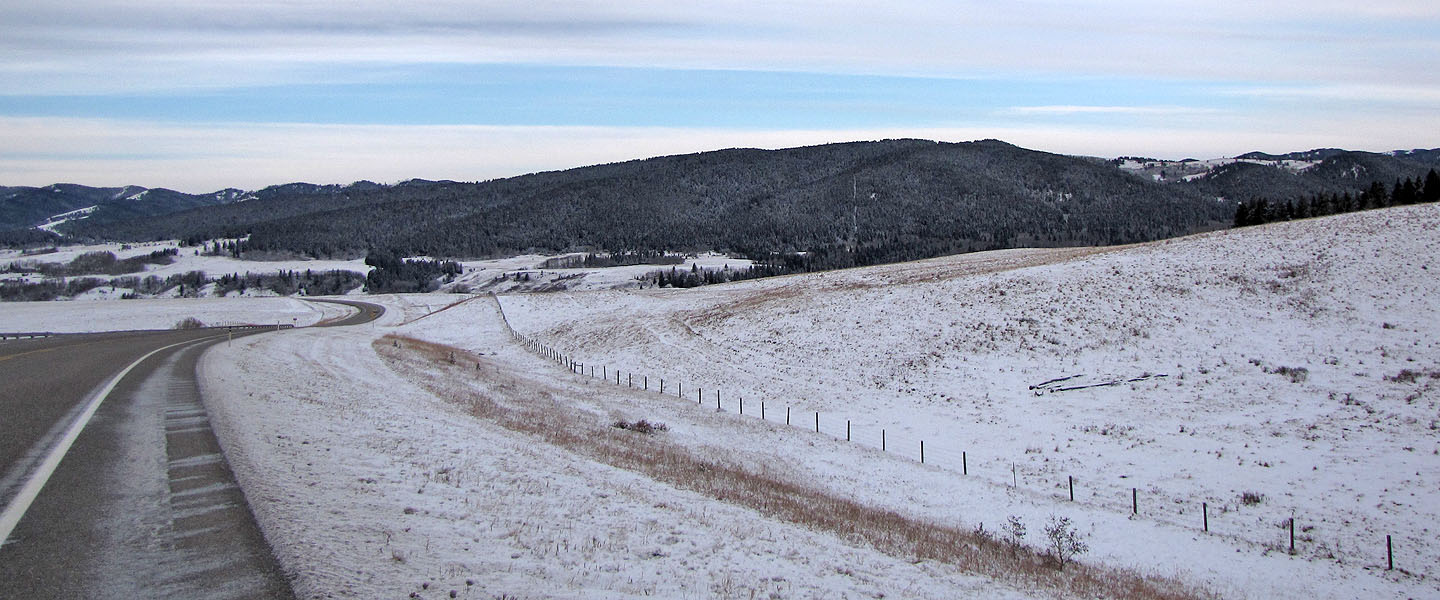
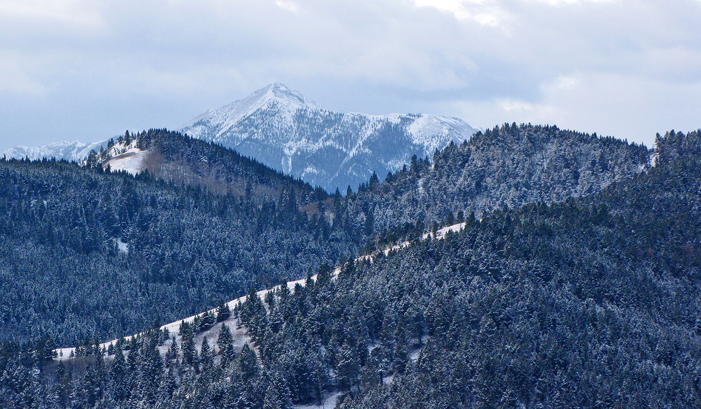
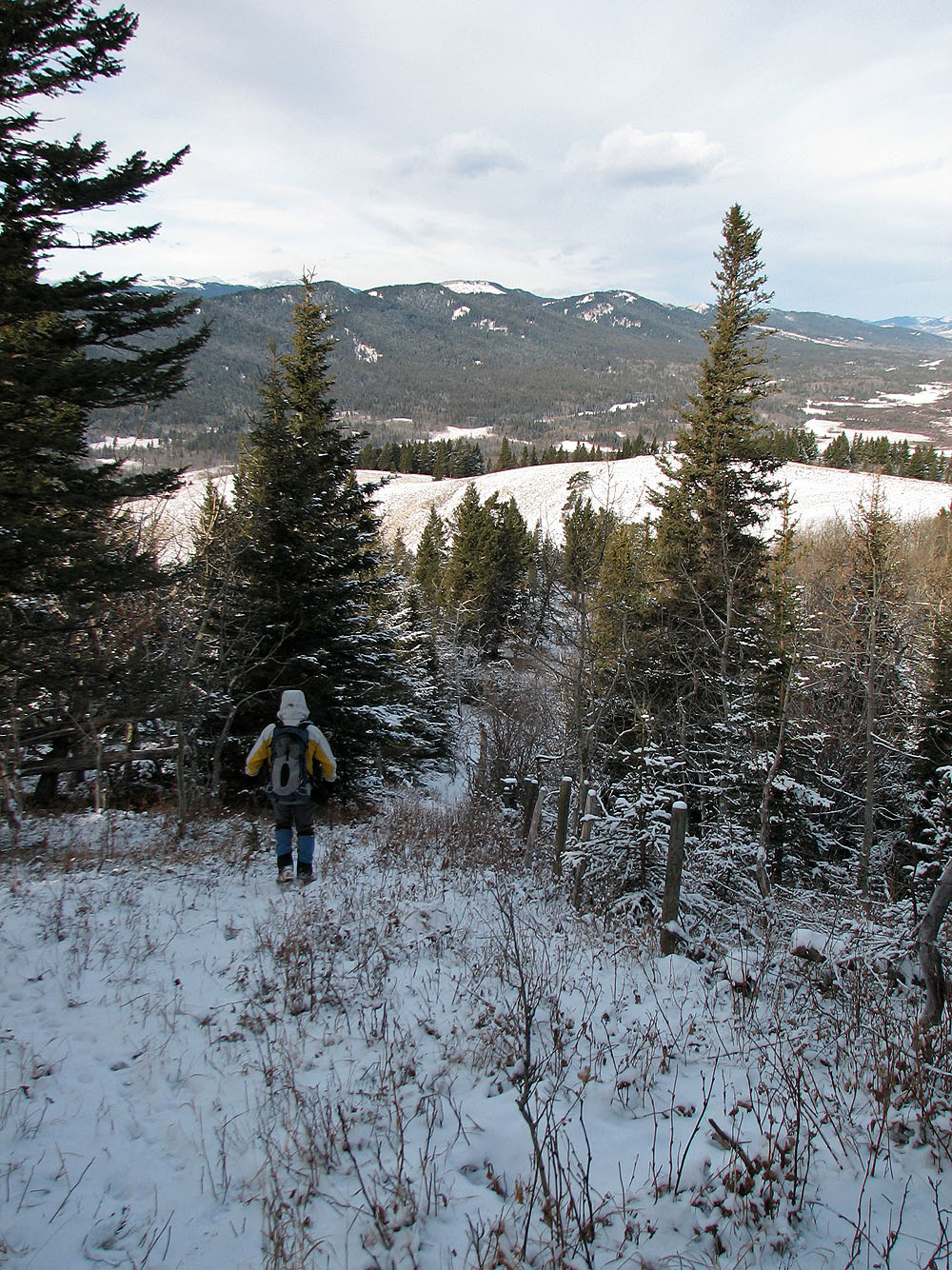
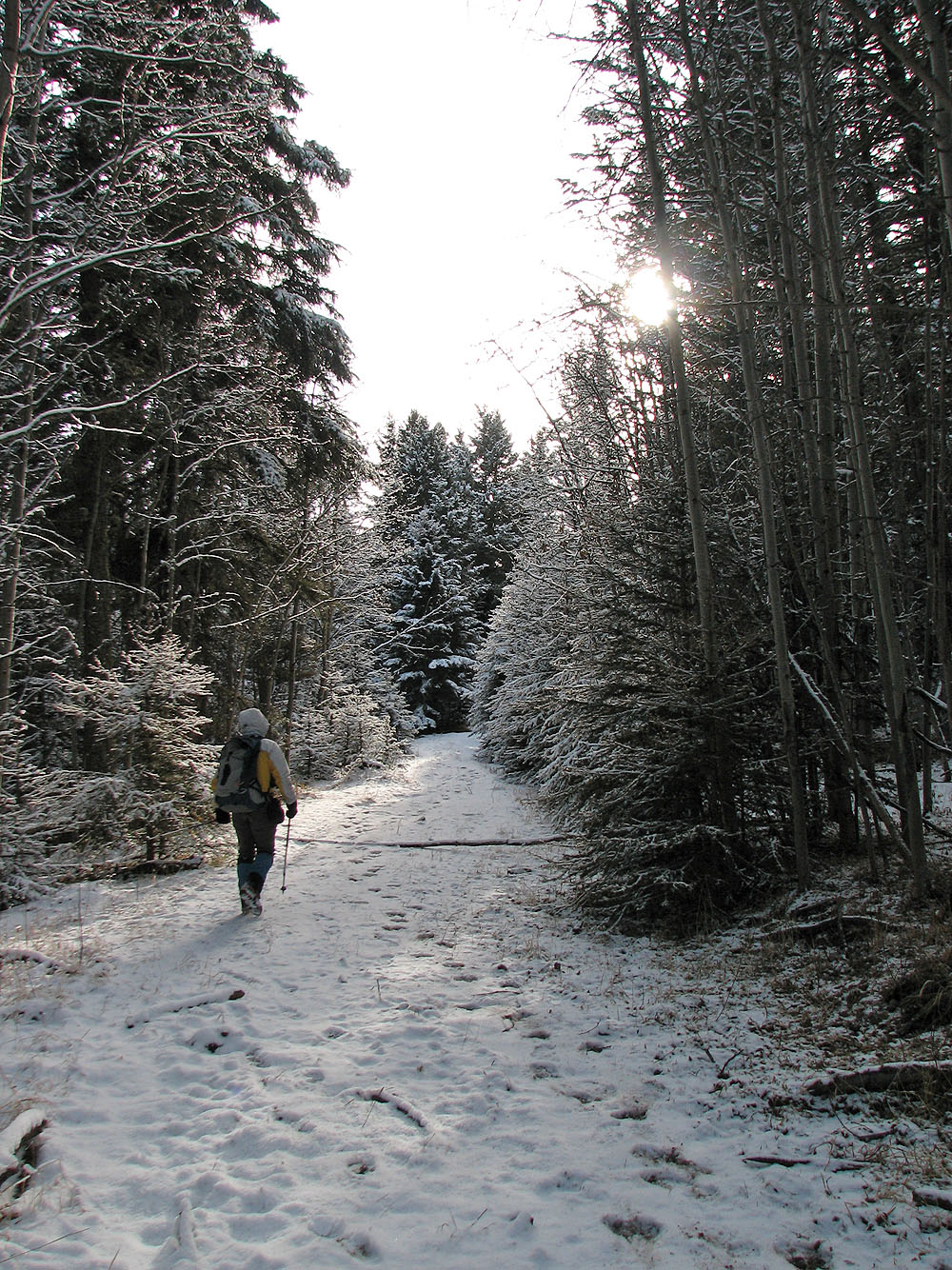
Nonetheless, we struck out for Black Mountain, an uninspiring mountain covered in trees east of Whaleback Ridge. We hiked up the road that is typically used to reach Whaleback Ridge. However, instead of dropping over the pass at the south end of Black Mountain, we hiked up its south ridge.
The summit was treed but further on, the ridge was open and grassy. After reaching the summit, we decided to drop down the east slope; gunshots behind us dissuaded us from returning the way we came. We found a trail which led to a road. But the road was a mixed blessing for not only did it take us back to the trailhead, it passed through a herd of cattle. Perhaps we crossed private land, but it was more attractive than the aspect of running into hunters!
Although I didn't have high expectations for Black Mountain, I had hoped we would see some wildlife. But we saw none, likely because hunters had already explored the area, leaving their footprints everywhere in the snow.
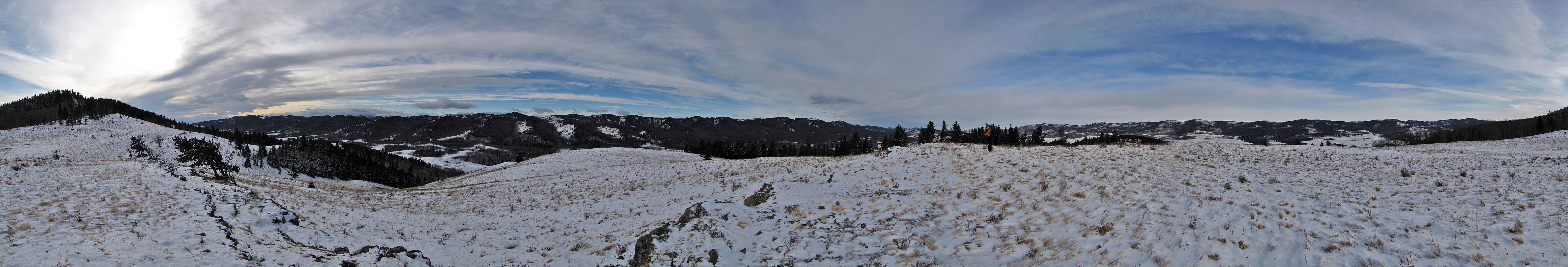
Black Mountain
We followed a road to the pass (centre)
Whaleback Ridge from the pass
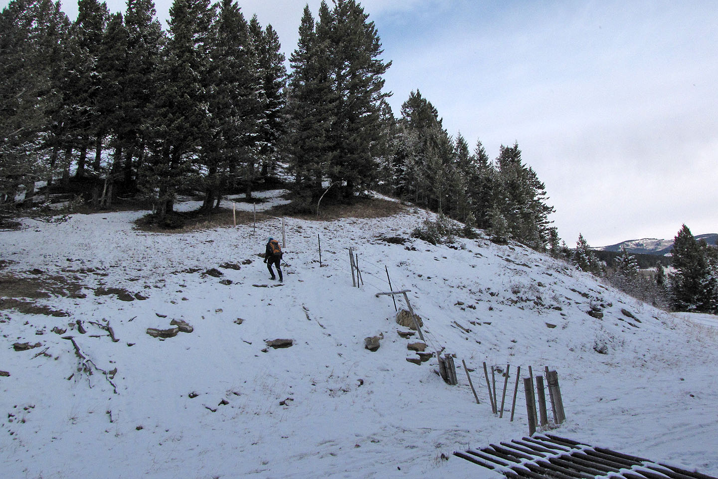
Starting up Black Mountain
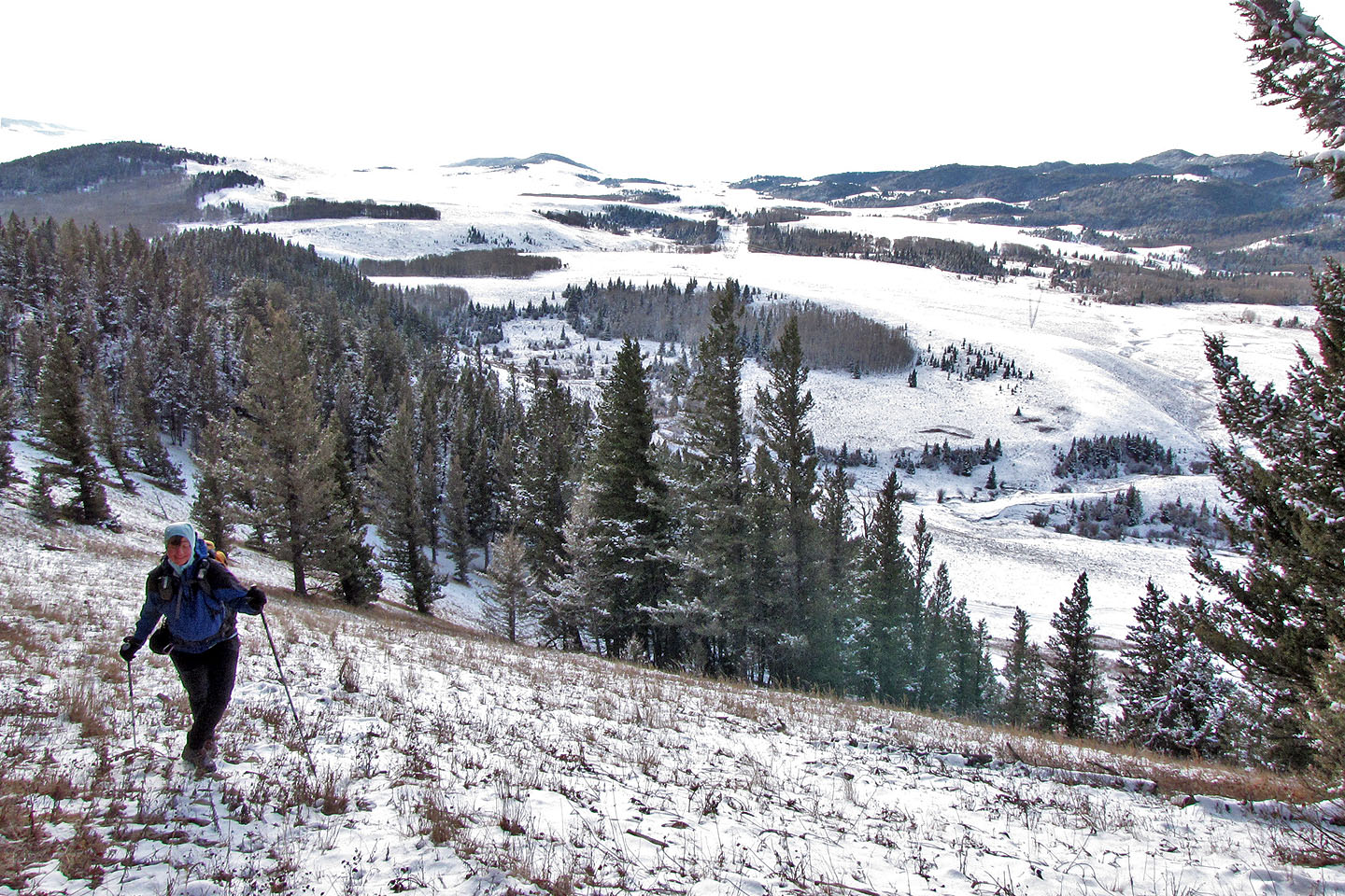
Looking southwest
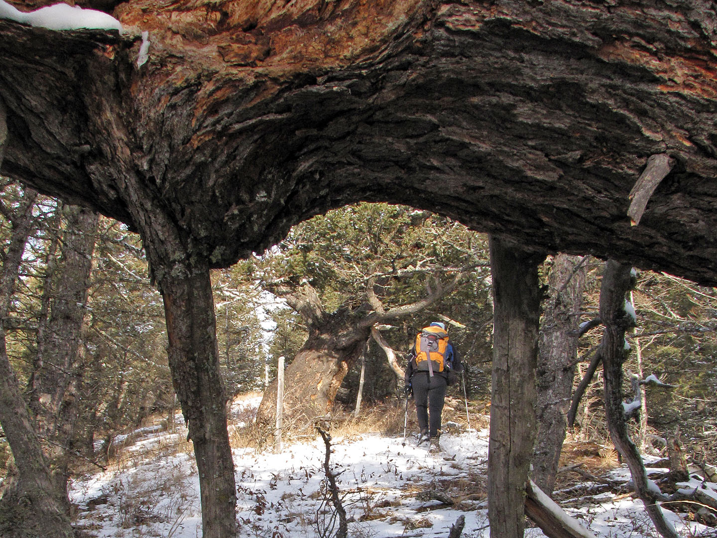
A fallen tree frames a live one
Along the way we crossed a open field
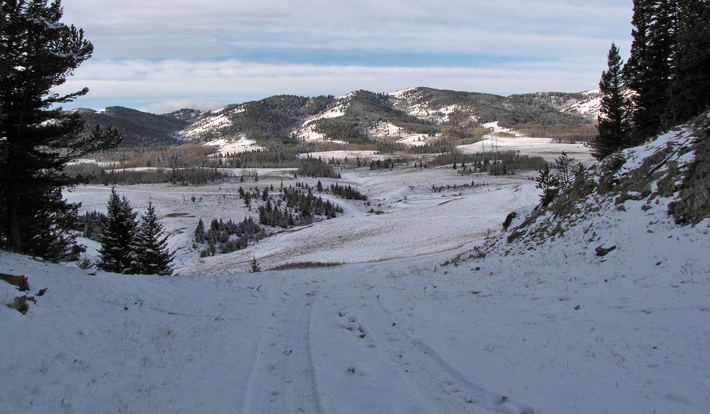
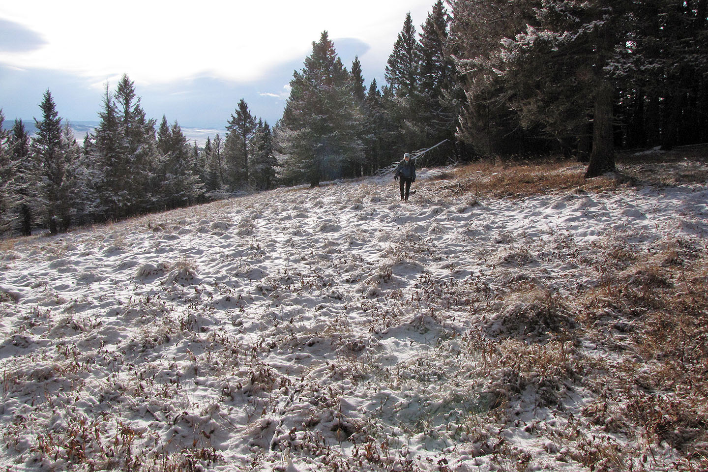
After hiking past the summit, we headed for the open ridge below
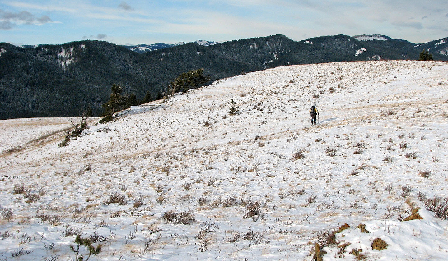
The open ridge
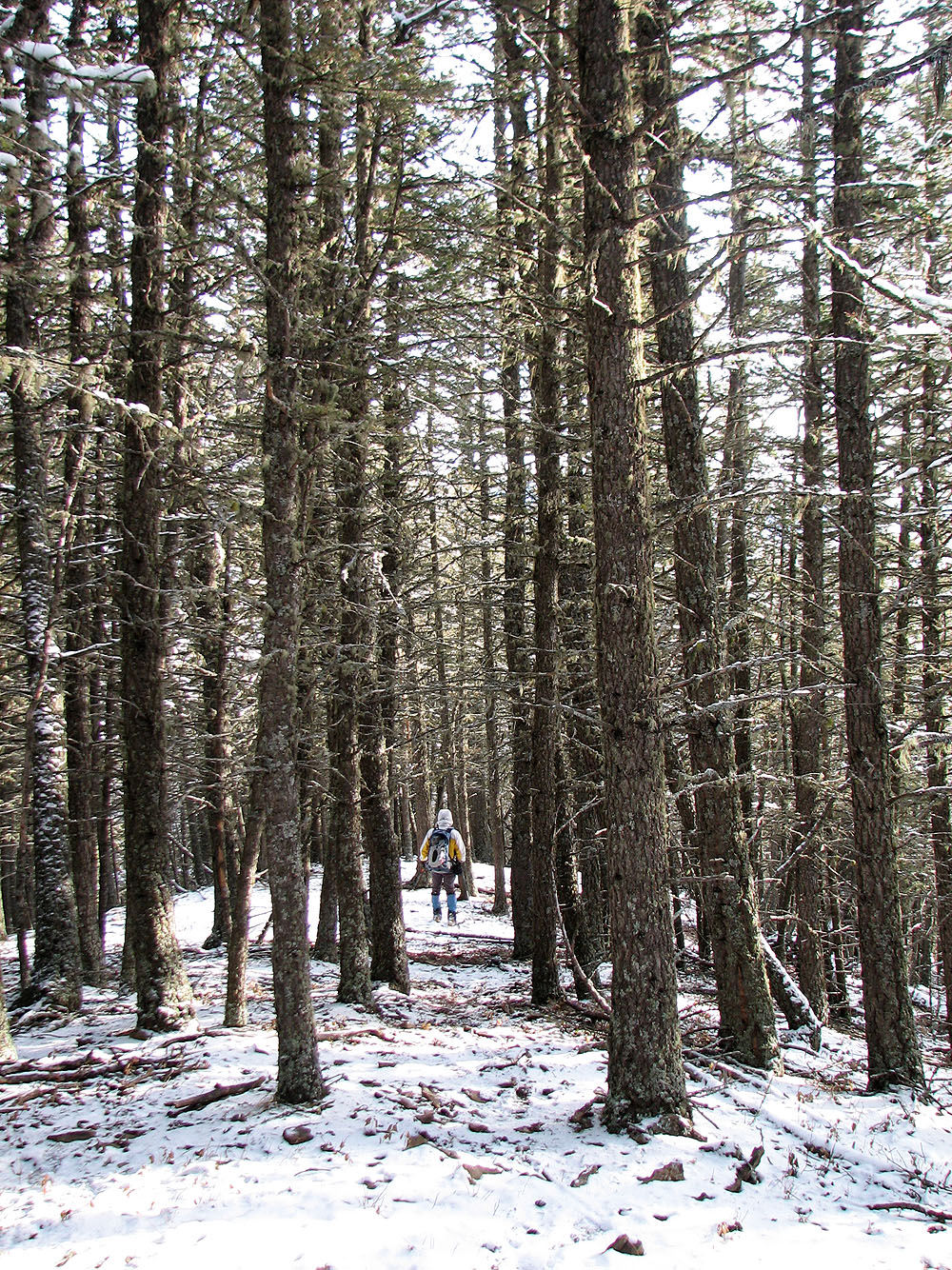
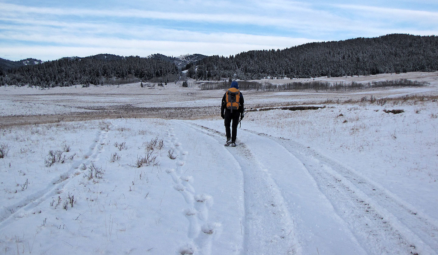
Following a trail
On the road
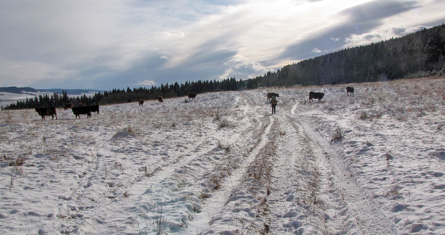
Hiking through cattle country
82 G/16 Maycroft