bobspirko.ca | Home | Canada Trips | US Trips | Hiking | Snowshoeing | MAP | About
Mount Bell East Ridge
Banff, Alberta
August 3, 2024
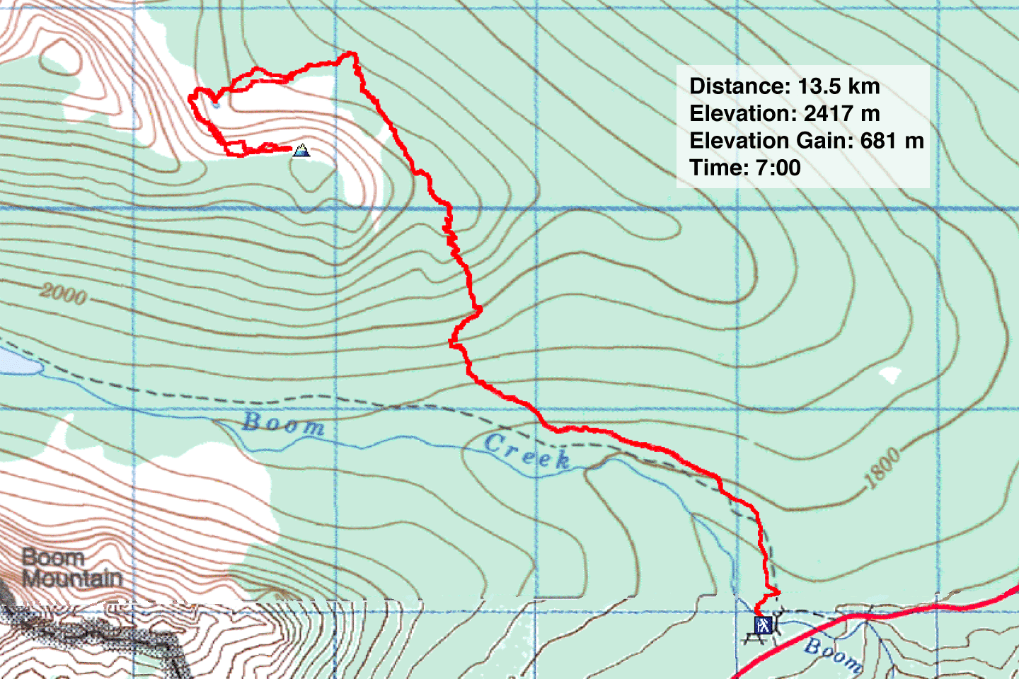
Distance: 13.5 km (8.4 mi)
Cumulative Elevation Gain: 845 m (2772 ft)
After climbing the summit of Mount Bell 19 years ago, I returned to ascend the east ridge. For the route, I turned to Willski. They used trails to reach the backside of the ridge. After the trail, it's easy to ascend a col and continue a short distance to the summit. The hike appeared engaging, and I looked forward to seeing boulder fields, larch forests and a charming tarn. Zora, Christine, Tomiji, Jonathan, Bernadette and Wendy agreed to join me.
We hiked 2.4 km up Boom Lake Trail to a signed trail for O'Brien and Taylor Lakes. This trail, incidentally, didn’t appear on any digital maps I looked at. But the path was in fine shape for the first 4 km.
The trail climbs a rise before descending 80 m. Partway down, we caught our first look at the ridge where the trail skirts a rock slide. After pushing through more forest, we lost the trail at the edge of a huge boulder field. Rather than go around it, we took a shortcut across the rocks. However, it wasn't worth the trouble, and we soon returned to the boundary between the rocks and the forest. It led to a scenic rest spot beside a large tarn below a cliff band.
To reach the col, we circumvented the cliffs and climbed a steep slope in the trees. After reaching the top, we headed to the col, crossing a boulder field before hiking through larches. From the col, we followed a rocky ridge a few hundred metres to the summit. At the top, we viewed Boom Mountain rising above Boom Lake. But peaks farther away were veiled in wildfire smoke.
After a long stay on the summit, we started down. Instead of following the rocky ridge back to the col, we kept to the right of the rocks and hiked along a pleasant bench in the trees. We stopped briefly at the tarn again, before making our way back to the trail. But instead of crossing the boulder field as we had earlier, we skirted around it to get back on the trail. This was a great, little trip, and we plan to return.
 Crossing Boom Creek at the trailhead
 After hiking 2.4 km on Boom Lake Trail, we came to the trail for O'Brien and Taylor Lakes
A sign warns: No Well-Defined Trail Beyond This Point
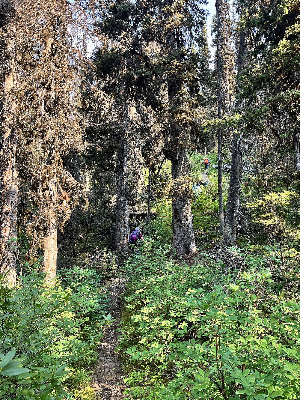
Actually, the trail was well-defined for about the first 4 km
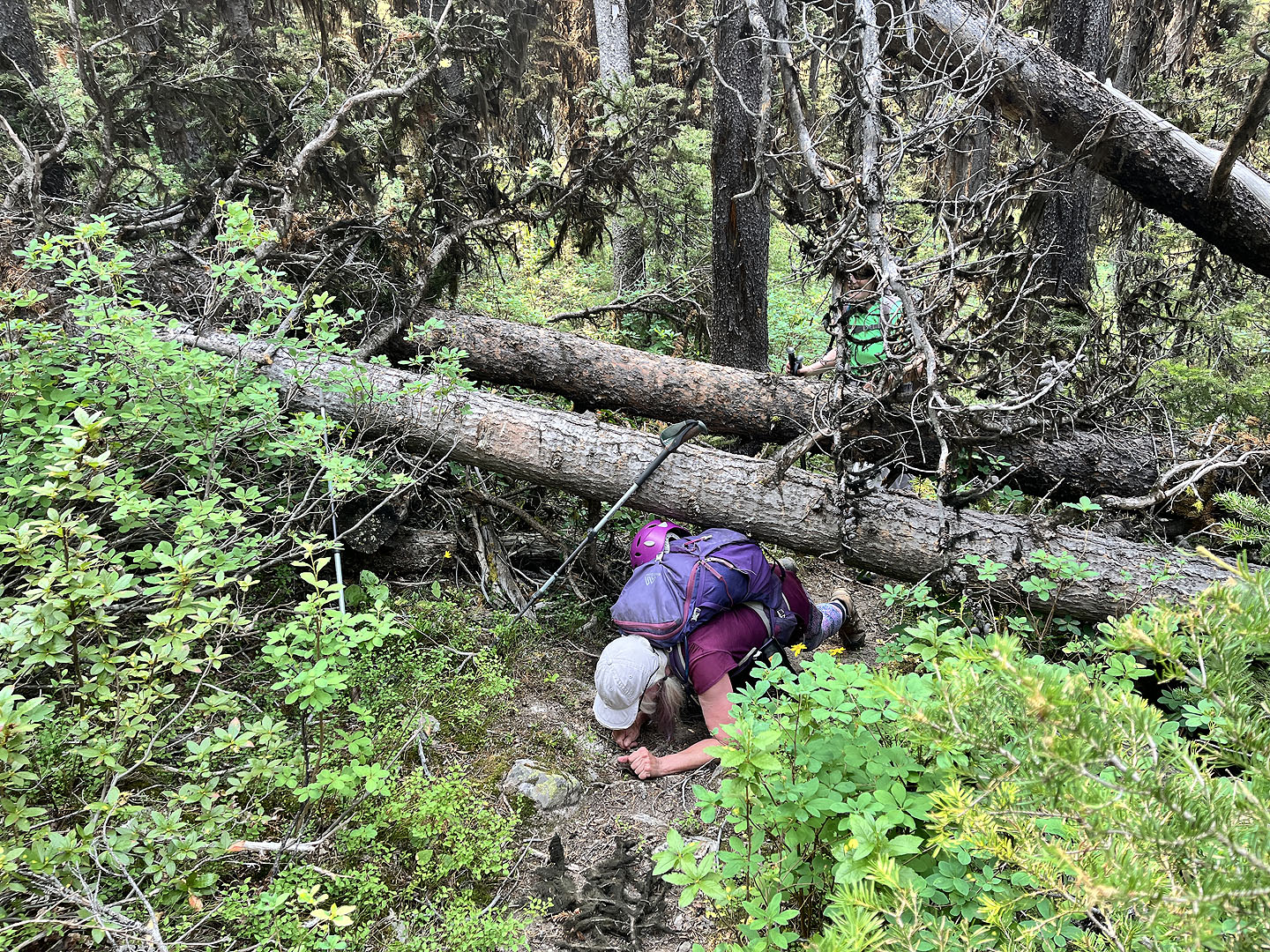 There was scarcely any deadfall and only these fallen trees gave us trouble
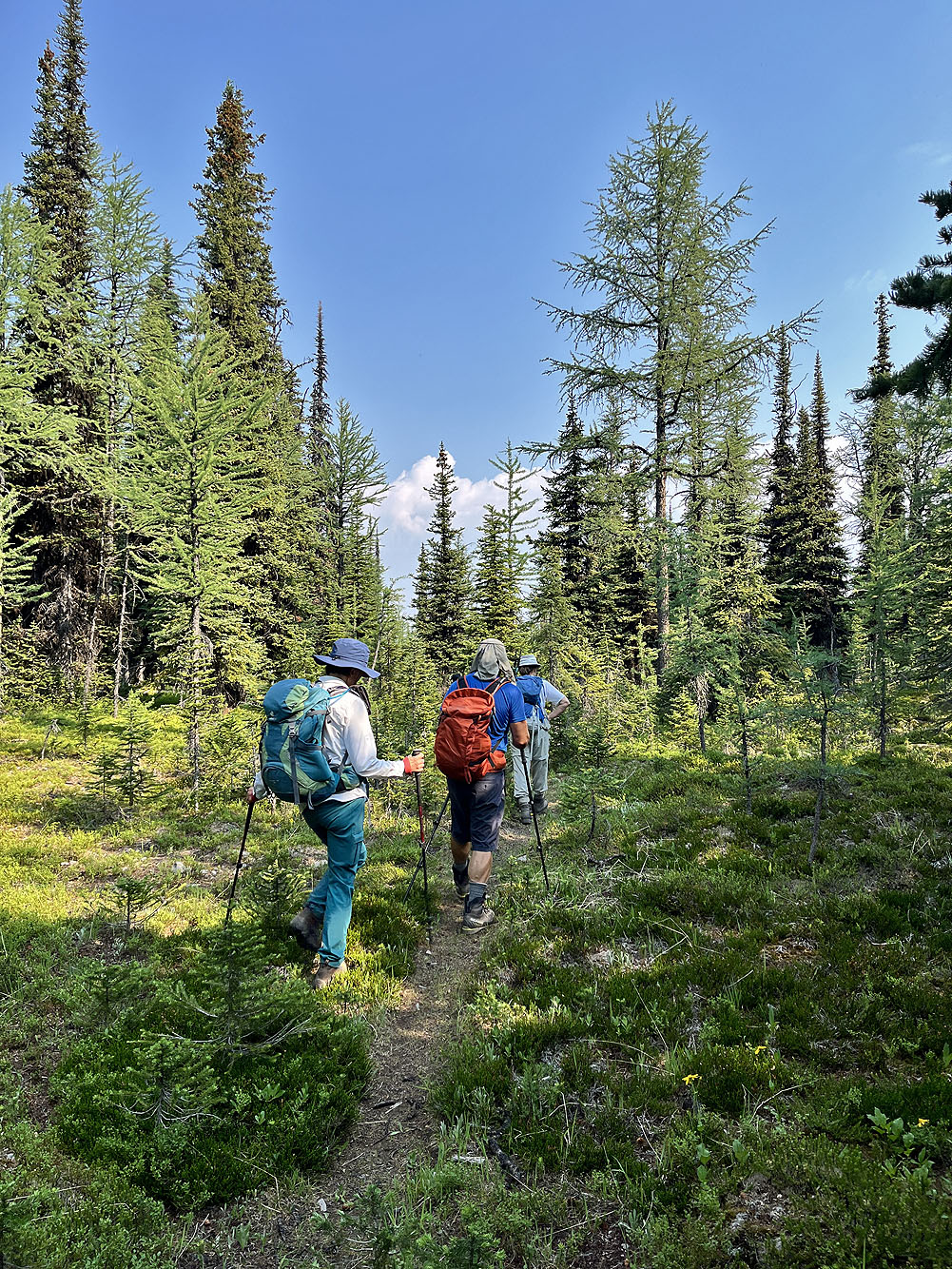
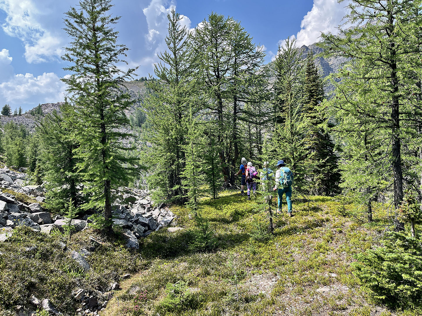
We started seeing larches
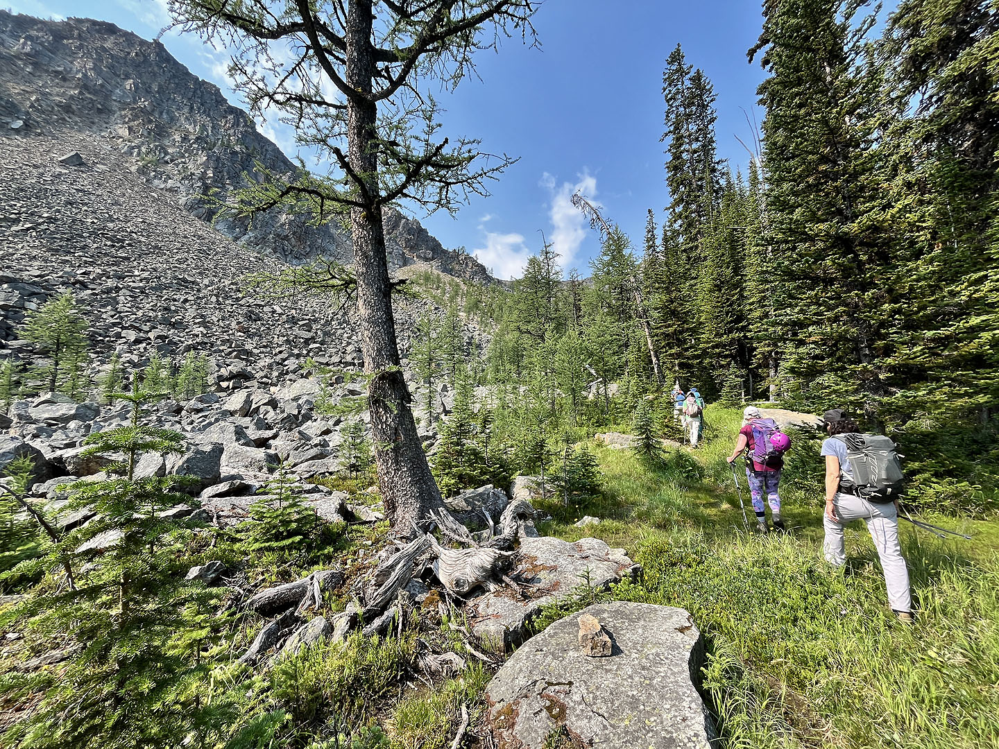
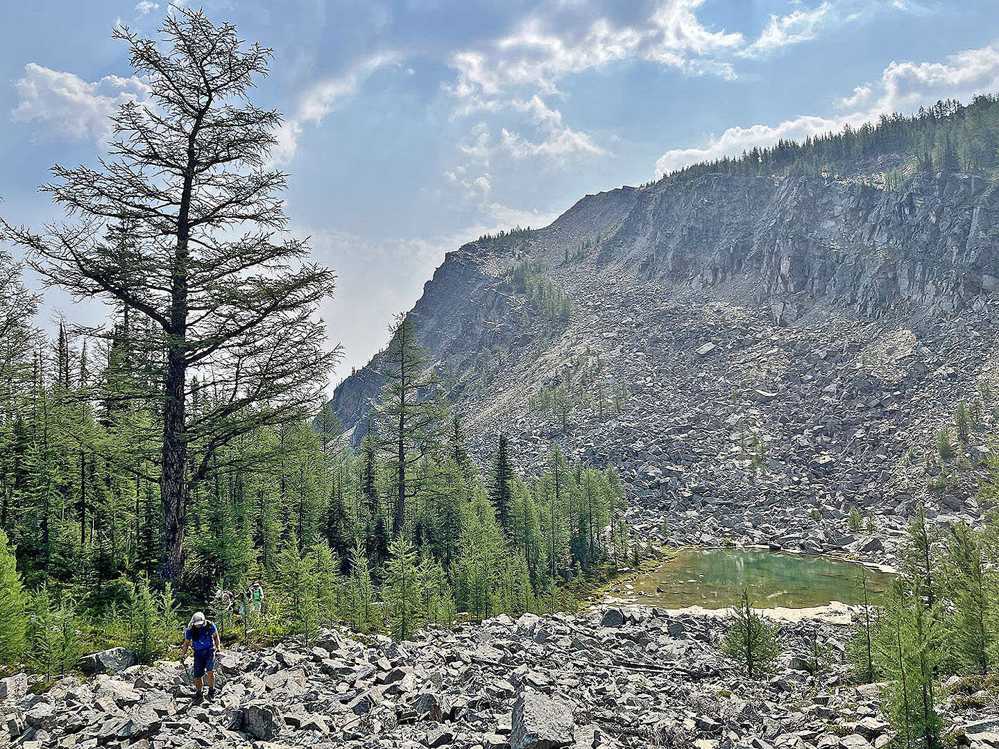
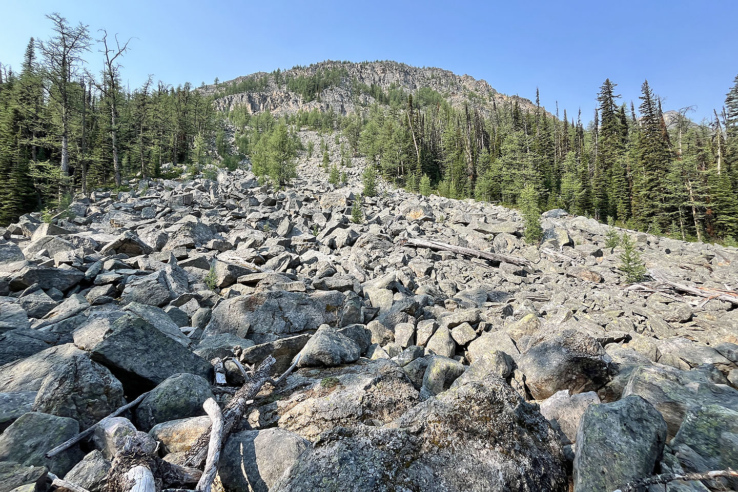 We got our first clear view of the ridge where the trail passes a rockslide
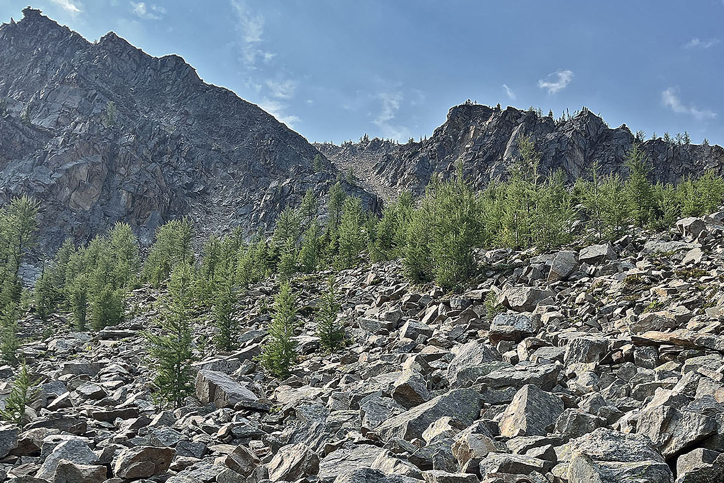
 Further along, we broke free of the trees to get our next view of the ridge
 The Willski hikers went up this gully but didn't recommend it
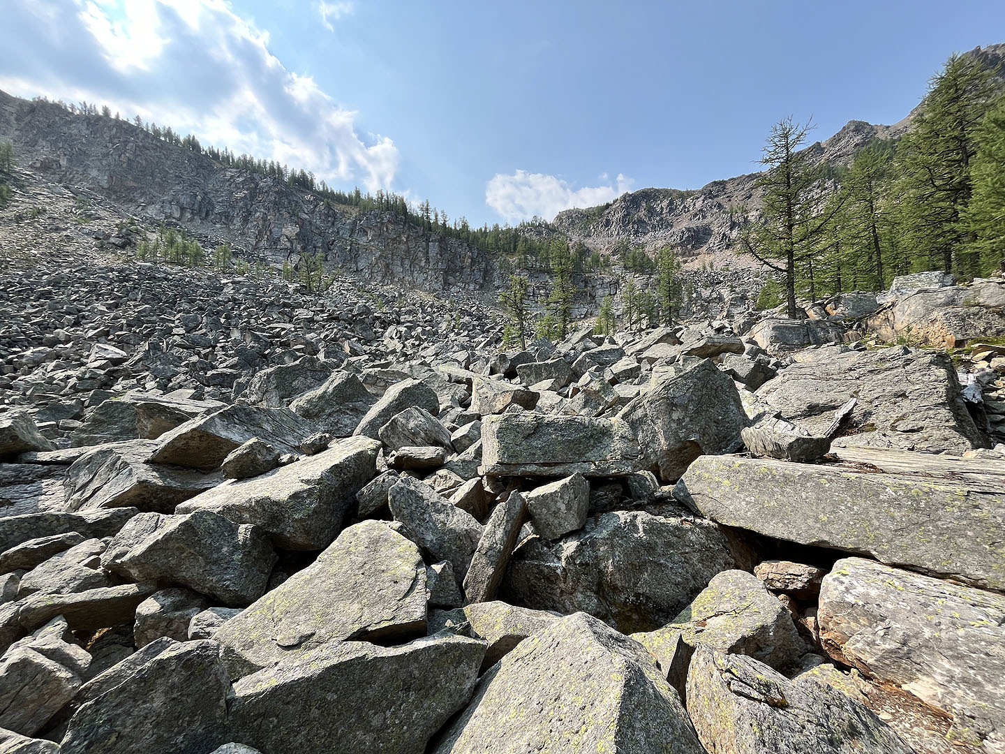
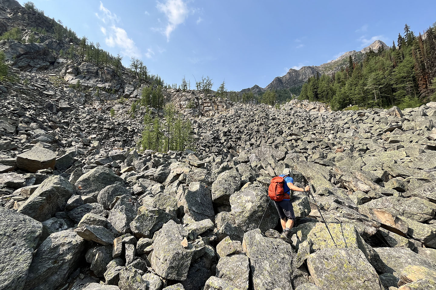 We took a shortcut across the boulder field, but don't recommend it
 Looking back
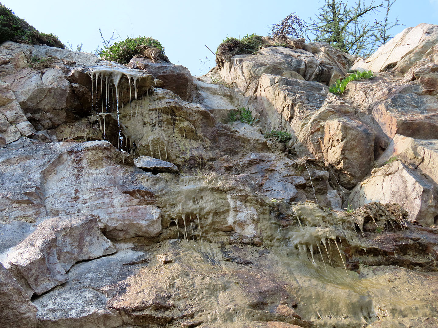 We passed a gooey-looking spring in the rocks
 An extensive boulder field and a cliff band thwarted plans for a more direct summit ascent. We skedaddled to the trees on the right.
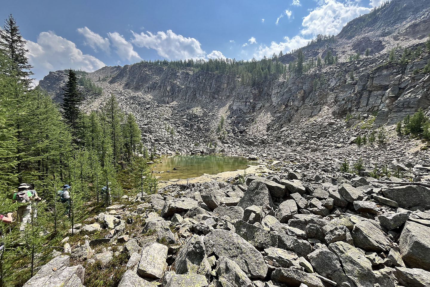
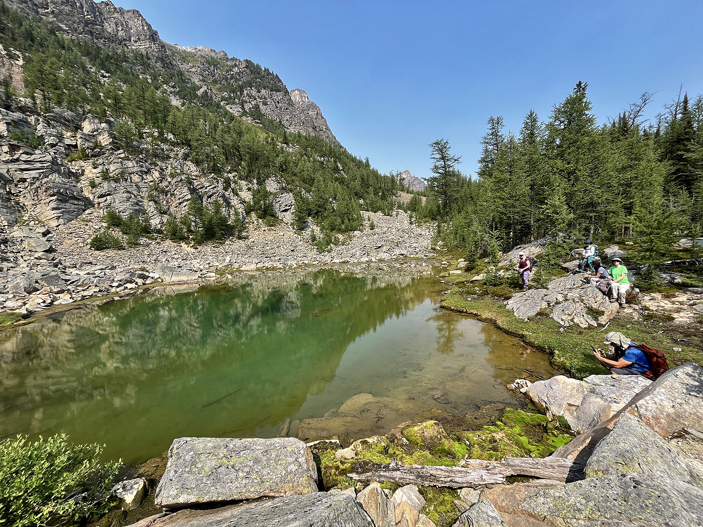 We spent several minutes at the tarn
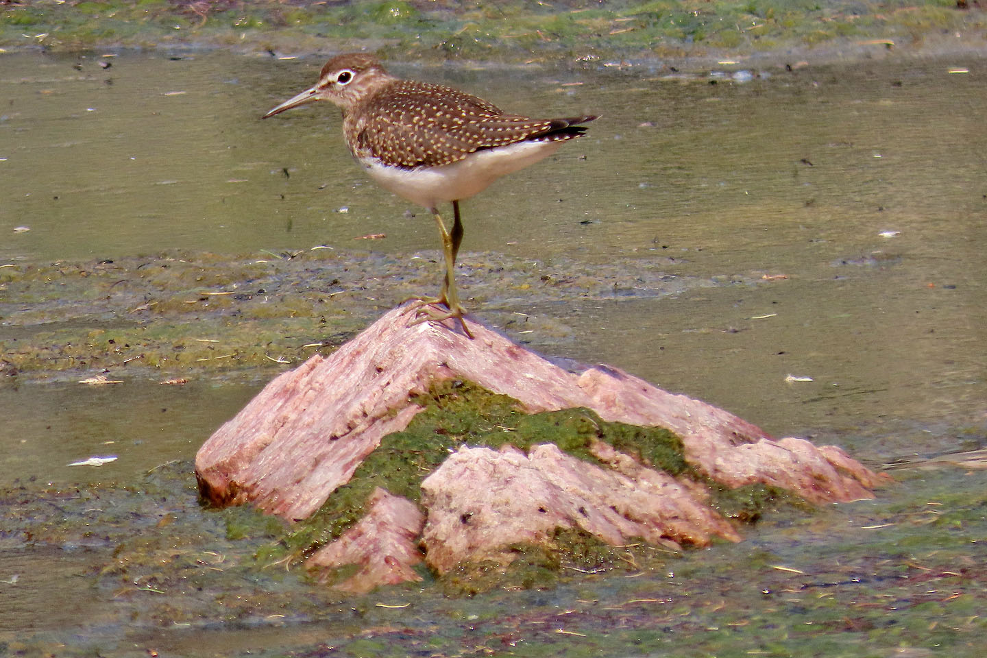 A sandpiper sits on a rock in the tarn
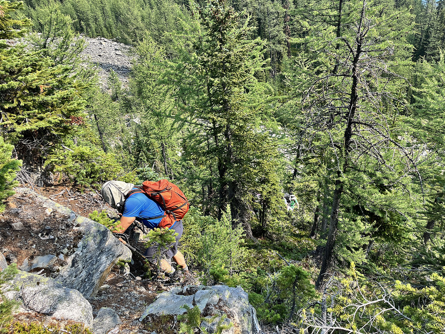
 As we made our way around the cliffs, we passed a mighty larch with a trunk nearly 3 ft thick
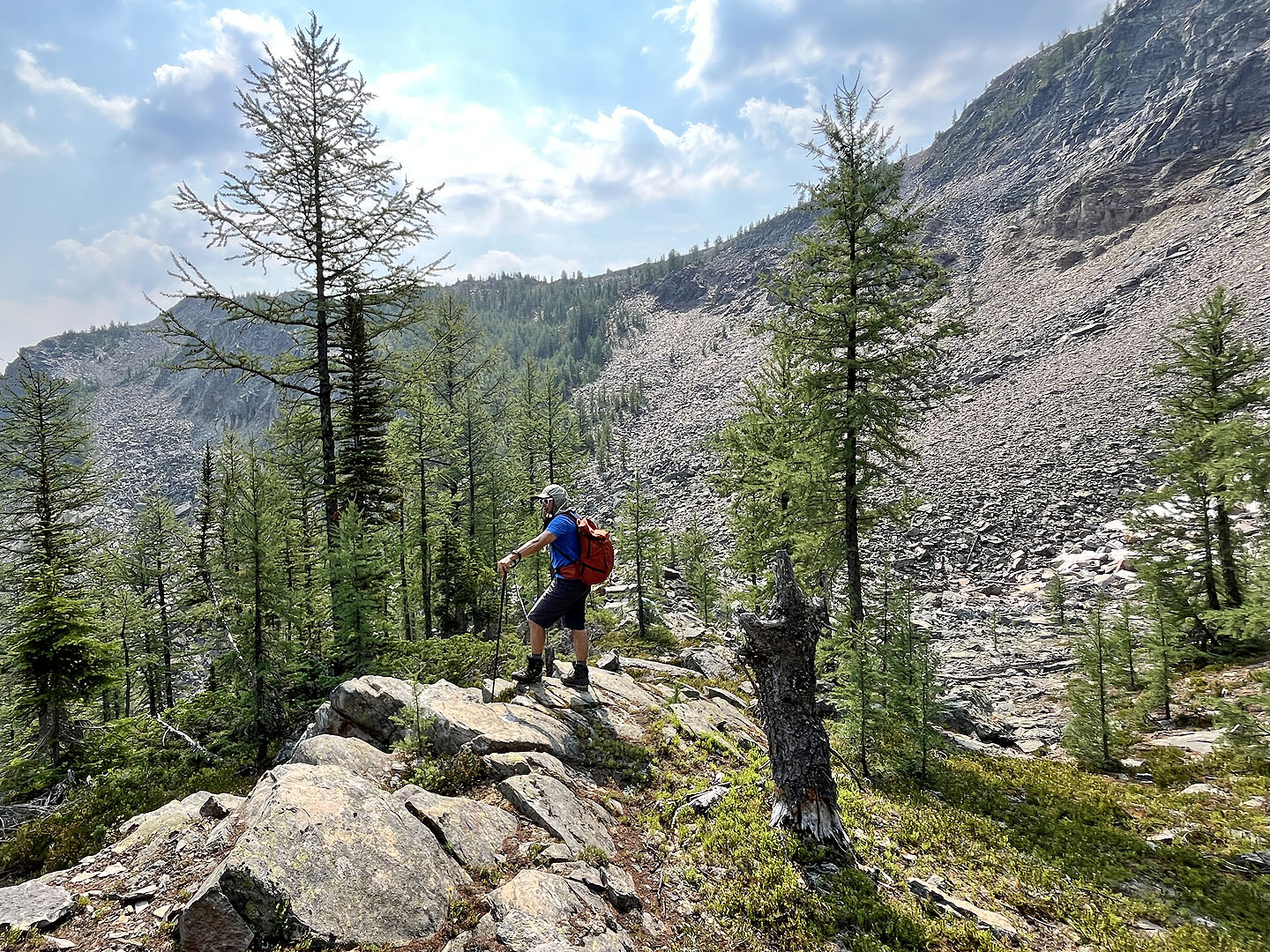
 We avoided the cliffs, but it was still a steep hike
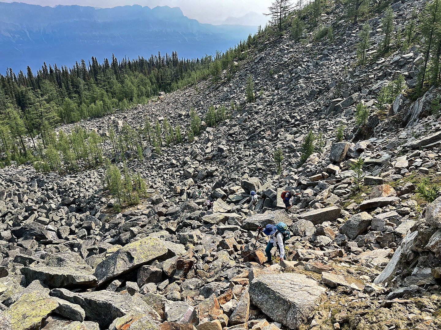
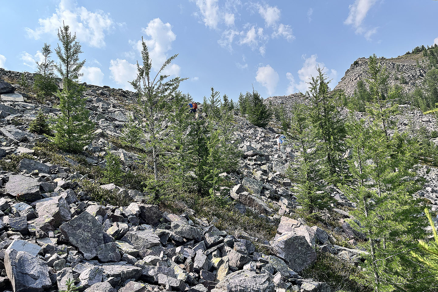
 From a rise, we viewed the route ahead: across the boulder field in the centre, through the larch forest on the left, and onto the summit
 Heading to the summit ridge after coming out of the larches
 Looking back after gaining the ridge. Mount Bell is far right.
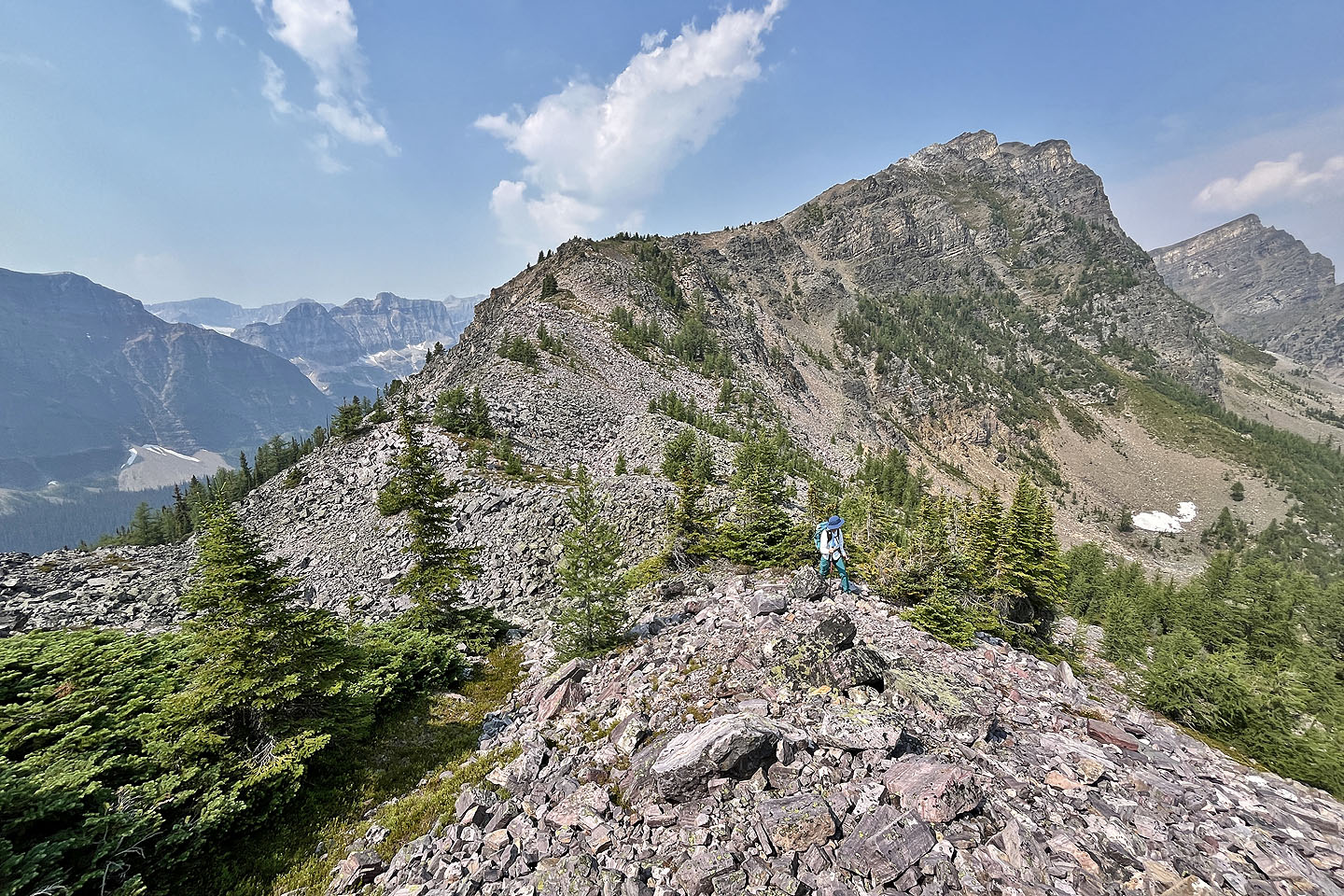
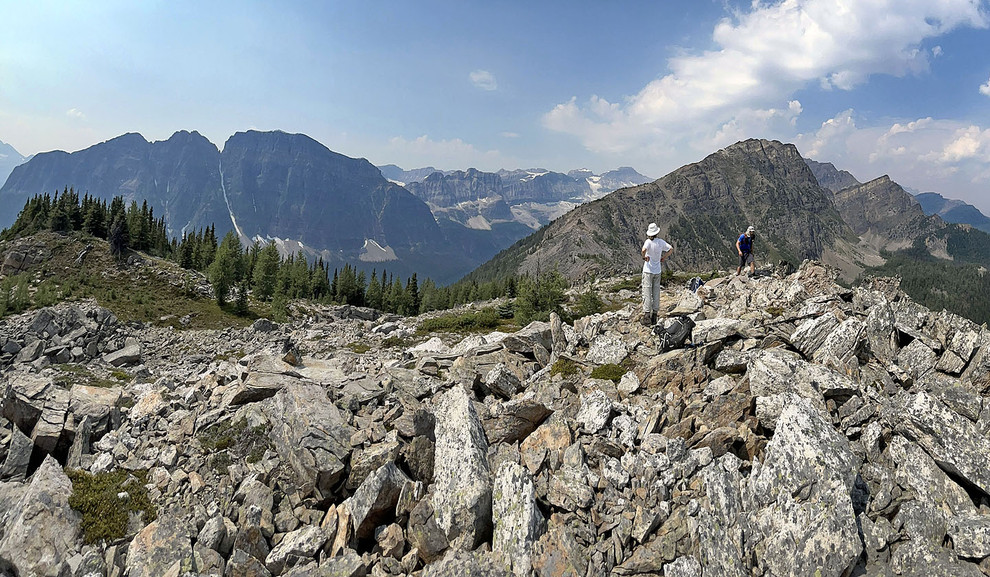
 Continuing to the summit
 A part of Boom Lake can be seen
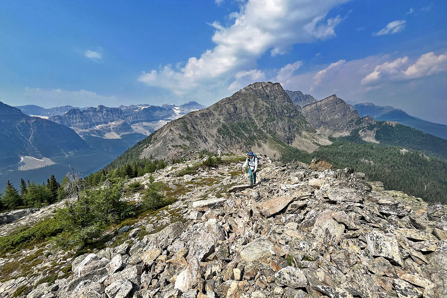 Looking back from near the summit
 Boom Mountain on the left
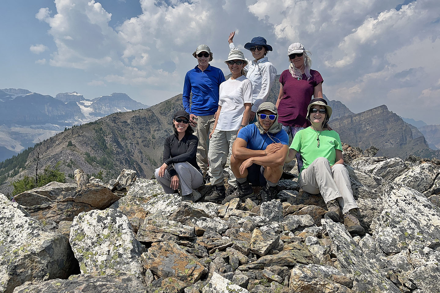 Back: me, Zora, Tomiji, Christine. Front: Wendy, Jonathan, Bernadette.
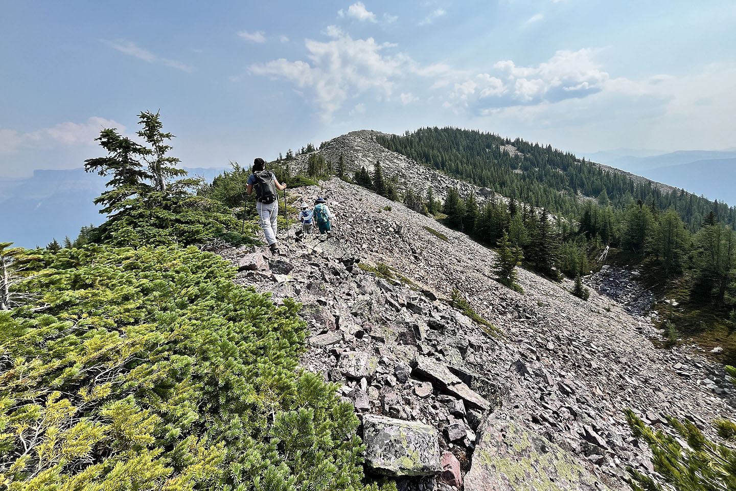
 We easily skirted the rocks on our descent
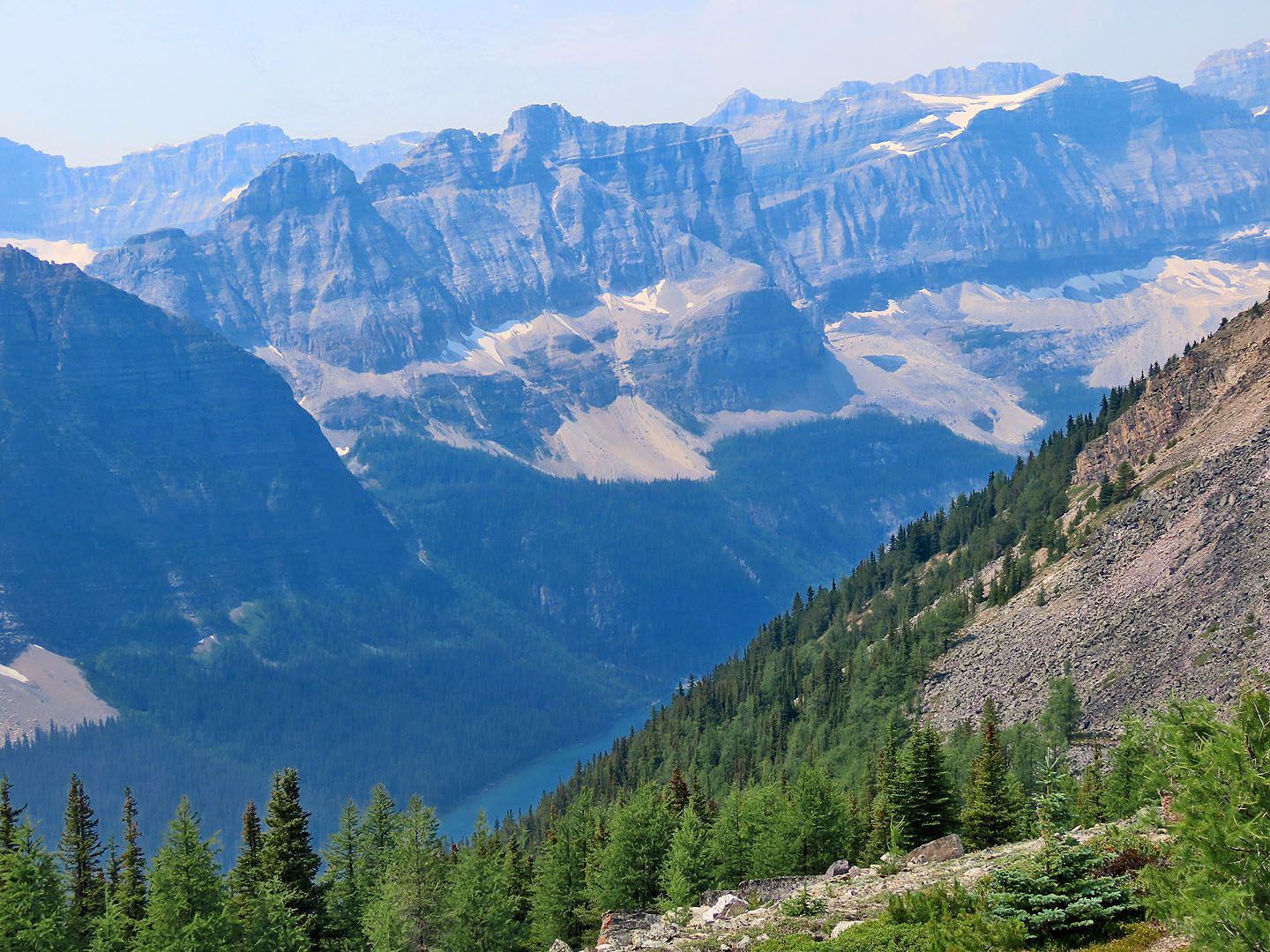
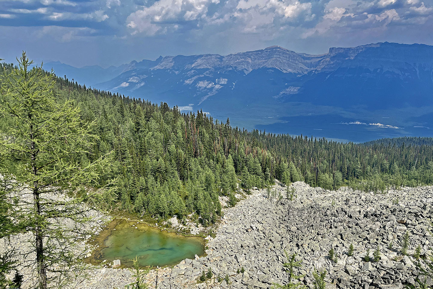 Looking down at the tarn. In the centre in the background are Armour Peak and Television Peak
 On the way back, we stopped at the tarn again
82 N/8 Lake Louise