bobspirko.ca | Home | Canada Trips | US Trips | Hiking | Snowshoeing | MAP | ABOUT

Mara Hill
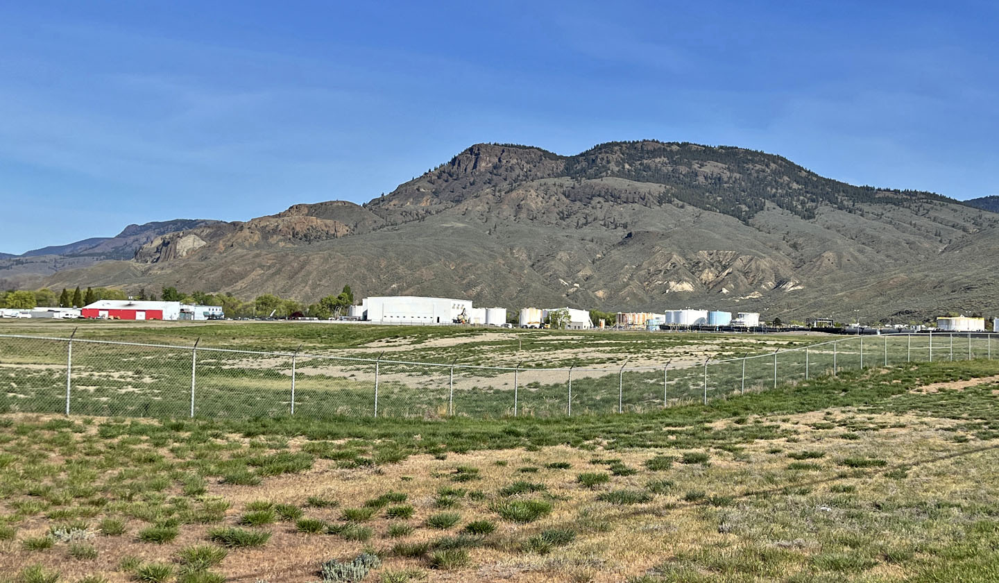
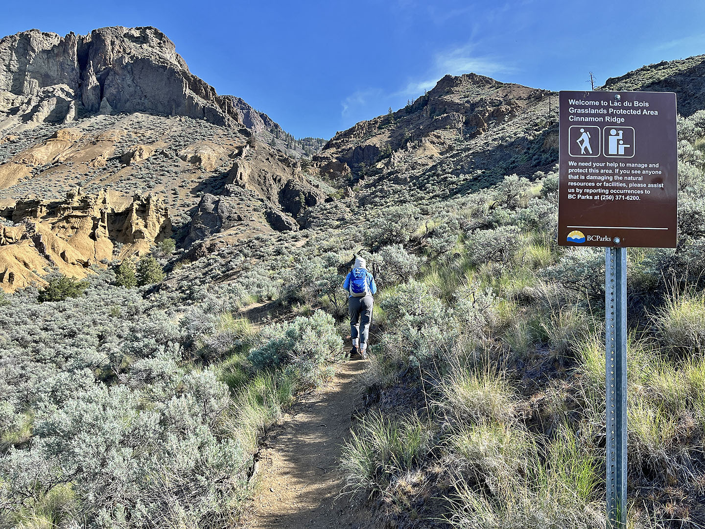
Lac du Bois Grasslands Protected Area, B.C.
April 30, 2025
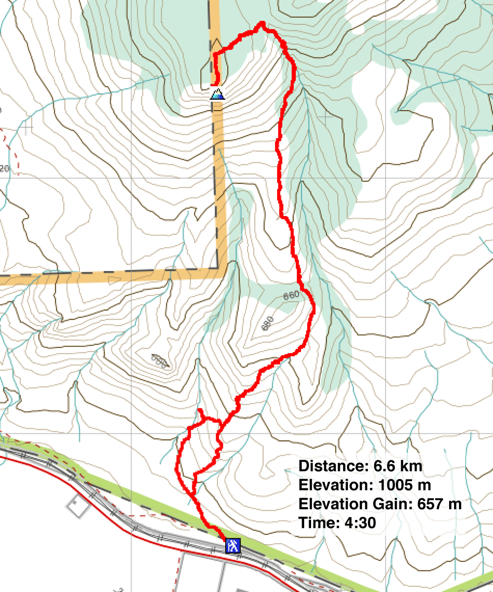
Distance: 6.6 km (4.1 mi)
Cumulative Elevation Gain: 692 m (2270 ft)
While looking for hikes around Kamloops, Mara Hill caught my attention. Its high clifftop viewpoint offers far-reaching panoramic views of Kamloops Lake and its surroundings. The lower slopes are also open, so the vistas begin from the start. I was also intrigued by the hoodoos in Mara Canyon.
However, it’s not an easy trek. According to Lawrence, whom we encountered on our way down, it’s the most challenging trail in the area due to its steep incline and loose rocks. Lawrence, a passionate member of the TRU KIS Hiking Club, spent several minutes sharing his enthusiasm for the club and the hikes around Kamloops. He often climbs Mara Hill as a training hike, noting that he usually picks up “two or three ticks” along the way. We met Lawrence after navigating a particularly steep and tricky trail section, only to discover from him that we had missed a new, easier bypass path. Keep an eye out for a trail on the right at 900 m.
The trail up Mara Hill starts as a single path but soon splits: left for Mara Canyon and right for Cinnamon Ridge. The trails eventually merge. Dinah and I started on the canyon trail and were soon captivated by the hoodoos. However, as we descended into the rugged canyon, we worried about encountering difficulties. Due to arthritic knees, Dinah has limited scrambling abilities. Fortunately, from our location, a short trail connects to the Cinnamon Ridge trail, allowing us to continue our ascent.
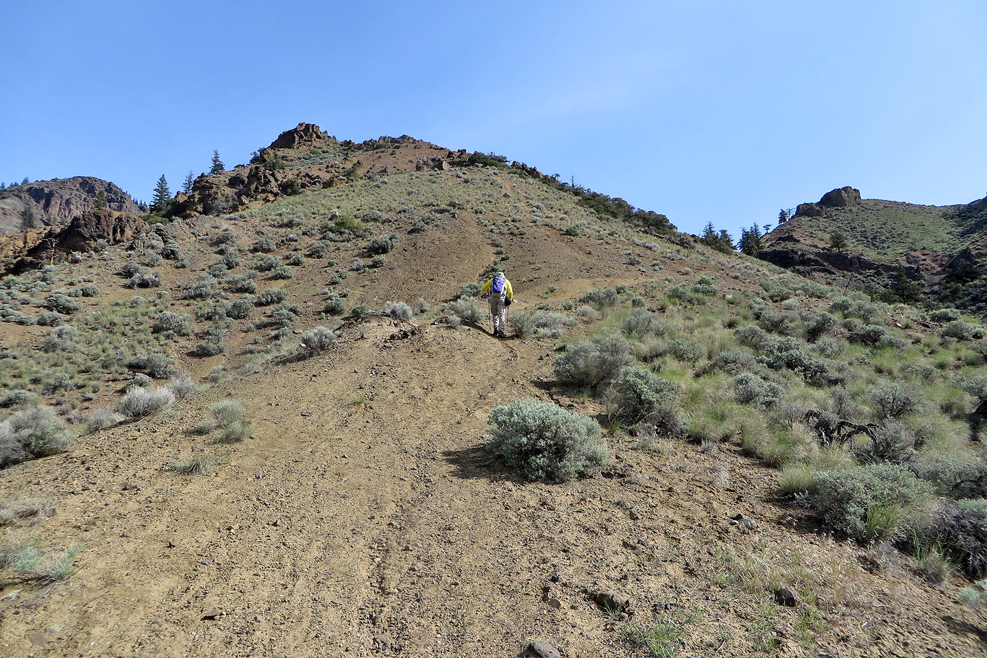
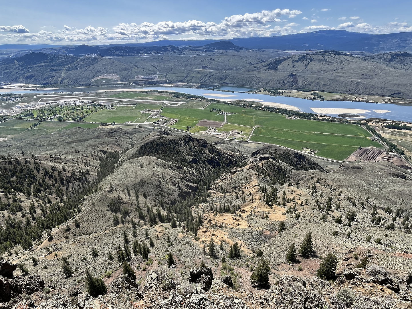
The path ascends a grassy ridge. Shortly after passing the junction where the two trails converge, we entered a forest. Here, the climb became steeper. After grinding up the slope, we reached a saddle. The trail continues left to the viewpoint, while the summit is on the right. An account on peakbagger.com mentions that there isn’t a trail and not much of a view at the summit. We followed the trail to the viewpoint, and after a short climb, we were standing on a clifftop, gazing down at the cobalt blue waters of Kamloops Lake. We also spotted Dufferin Hill and Battle Bluff.
We paused at the top to enjoy a leisurely lunch before making our way back down. After leaving the trees, we descended the open ridge, enjoying the views before us.
Mara Hill seen from Tranquille Road
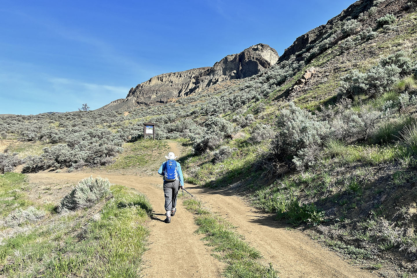 We parked a short distance from the trailhead
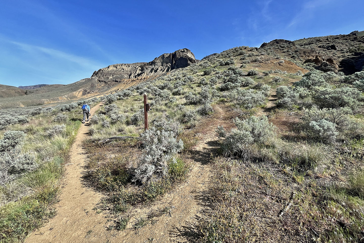 The left fork goes to Mara Canyon, right to Cinnamon Ridge
 We saw our first hoodoos on the left (mouse over for a close-up)
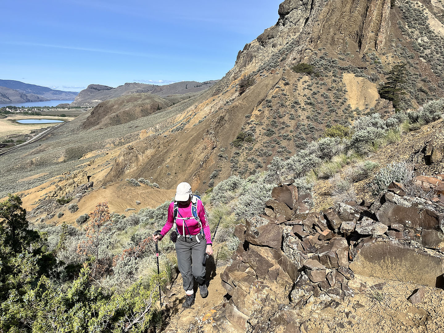
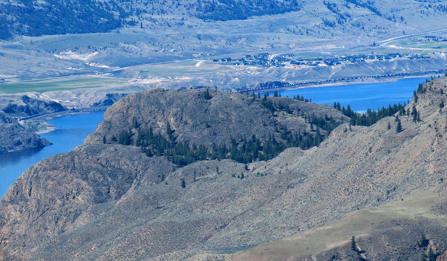
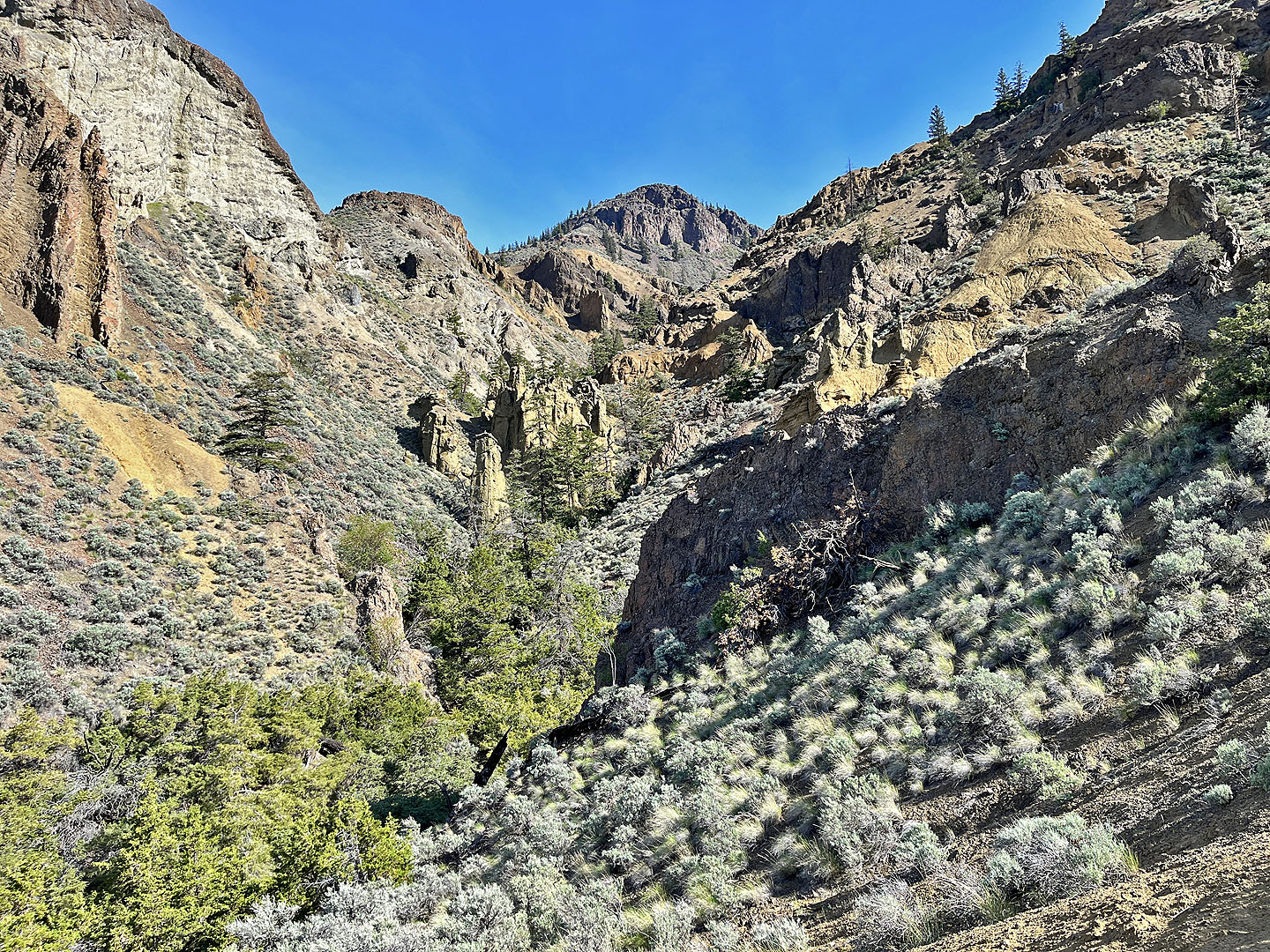 We dropped into the canyon but soon turned around. The viewpoint appears in the centre.
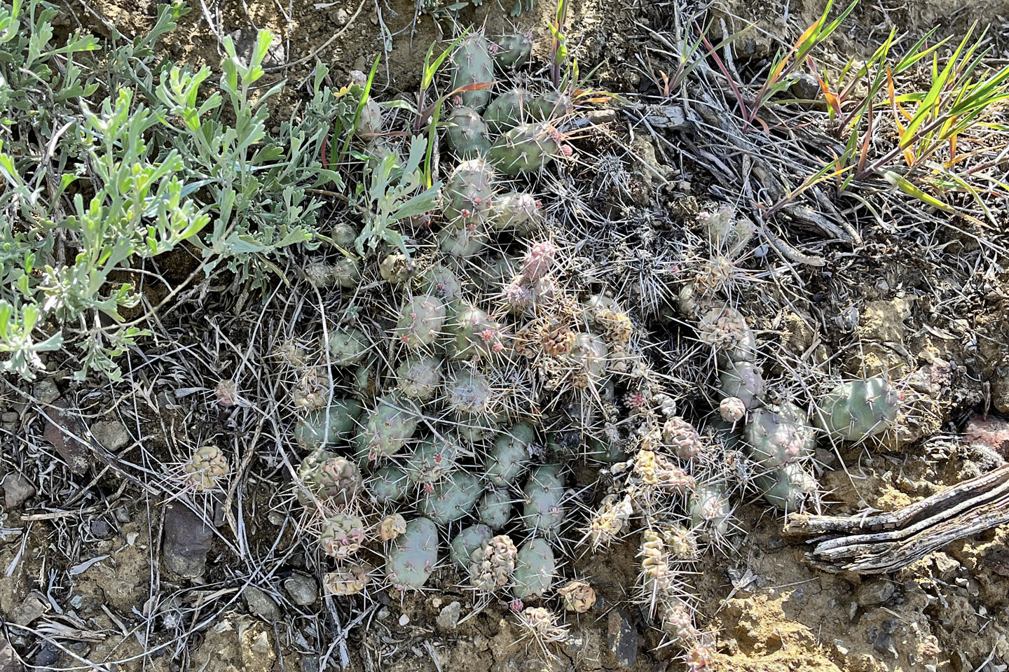 Brittle pricklypear cactus
 We took a shortcut to Cinnamon Ridge trail
 The shortcut leaves the canyon trail on the dirt ridge below
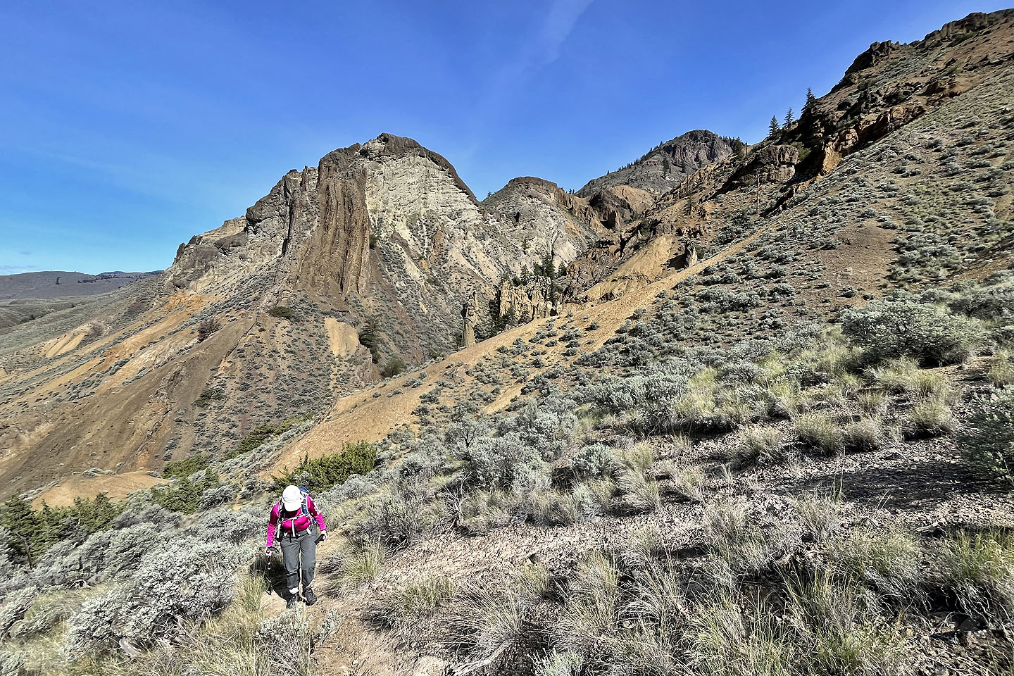 Looking back as we reached Cinnamon Ridge
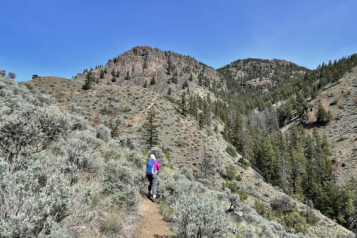
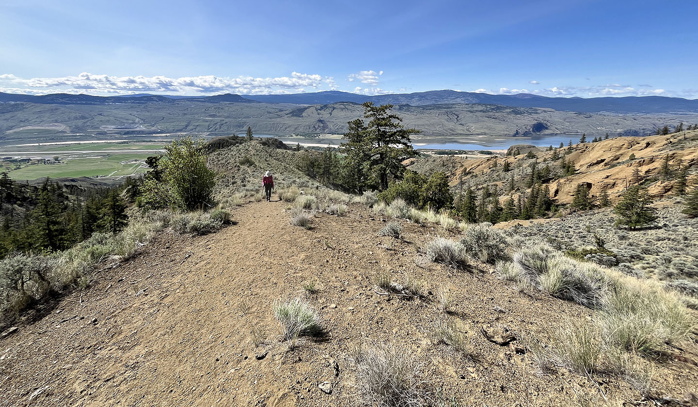
 The trail runs to the gap on the right
 Beardtongue
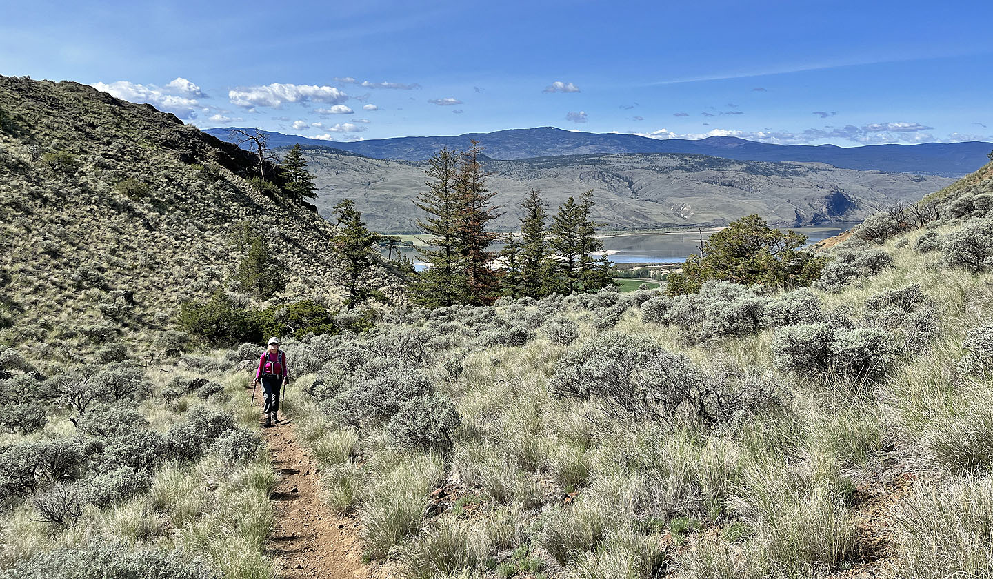 Looking back from the gap, we caught sight of Kamloops Lake
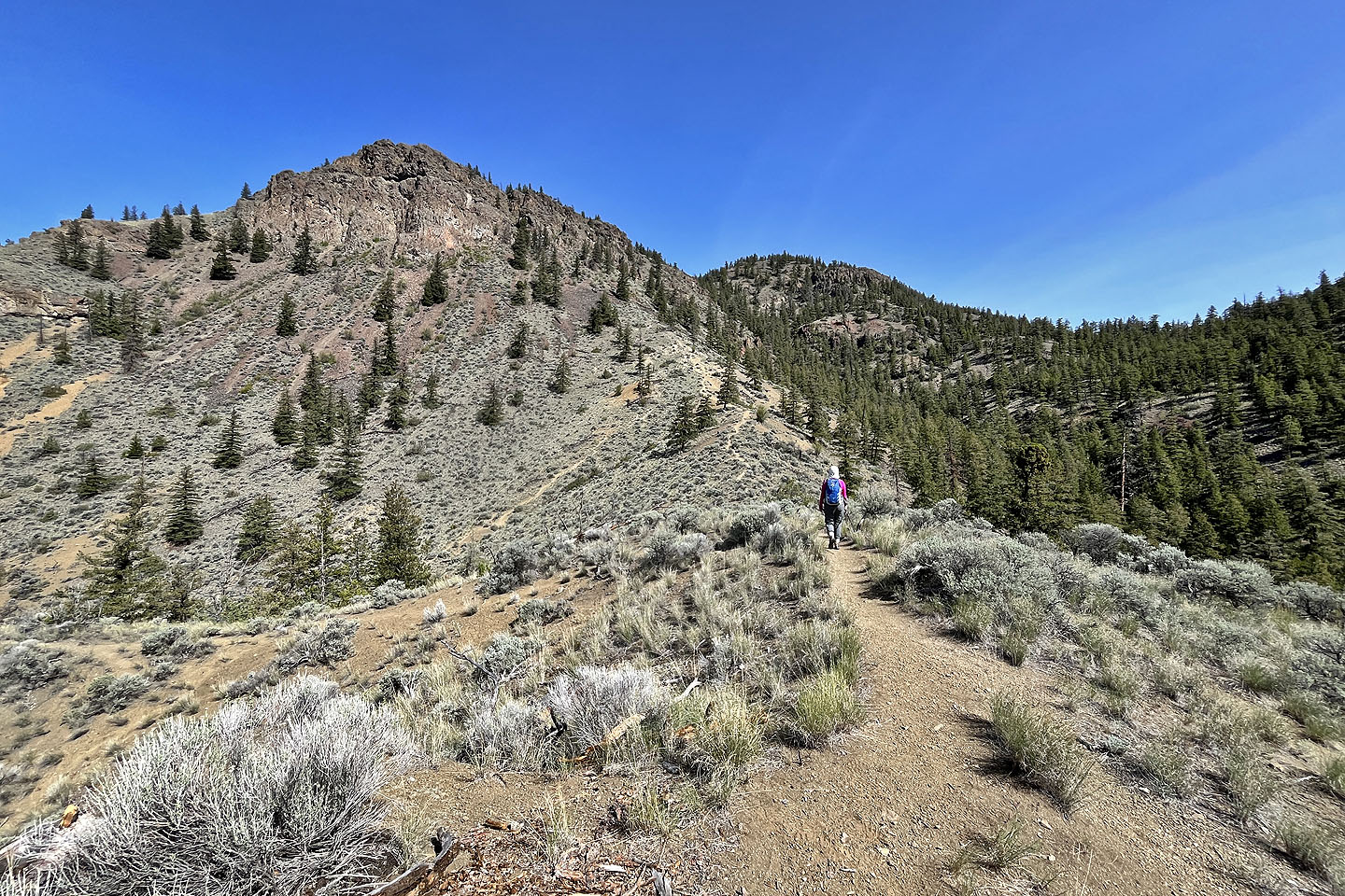
 The viewpoint and the summit appear ahead
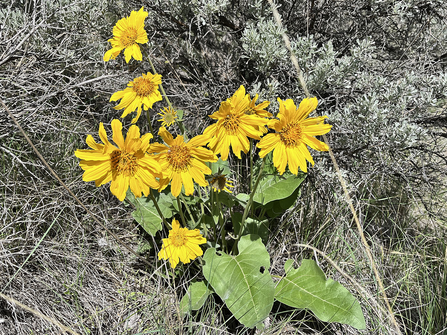 Balsamroot
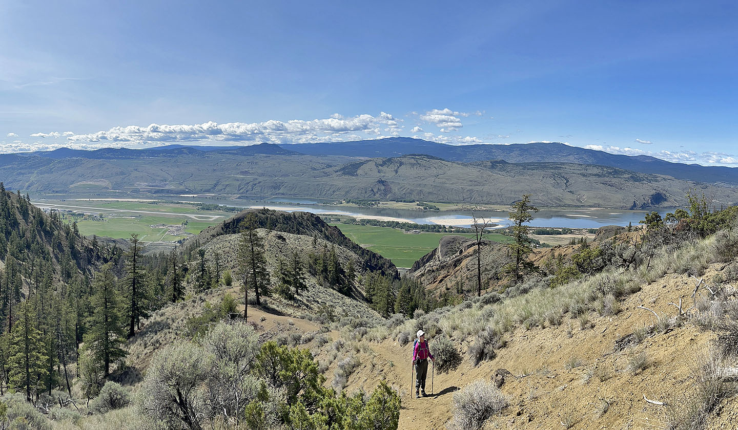
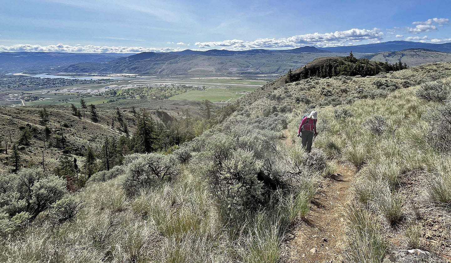 Thompson River appears below. The dark hill above it and to the right is Dufferin Hill. The next bump right is Coal Hill.
 Mara Canyon trail and Cinnamon Ridge trail merge ahead
 Looking back
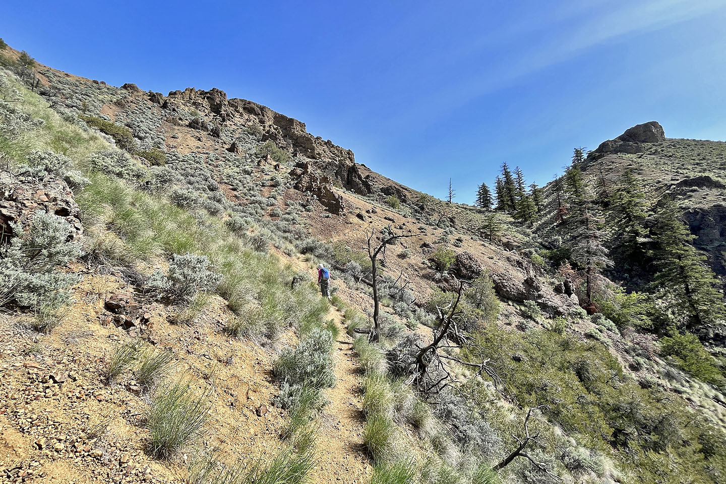
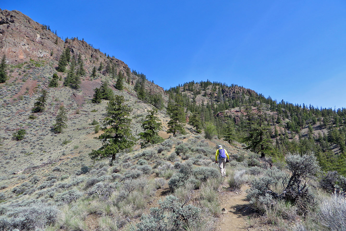 The trail heads to the saddle
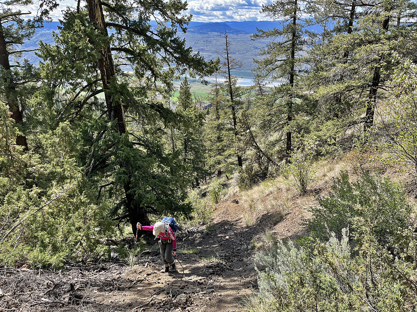
 Looking back before entering the trees
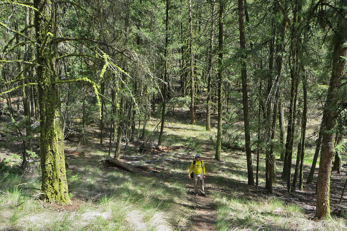
 Slogging up to the saddle
 The trail levels off on the saddle before running up to the viewpoint
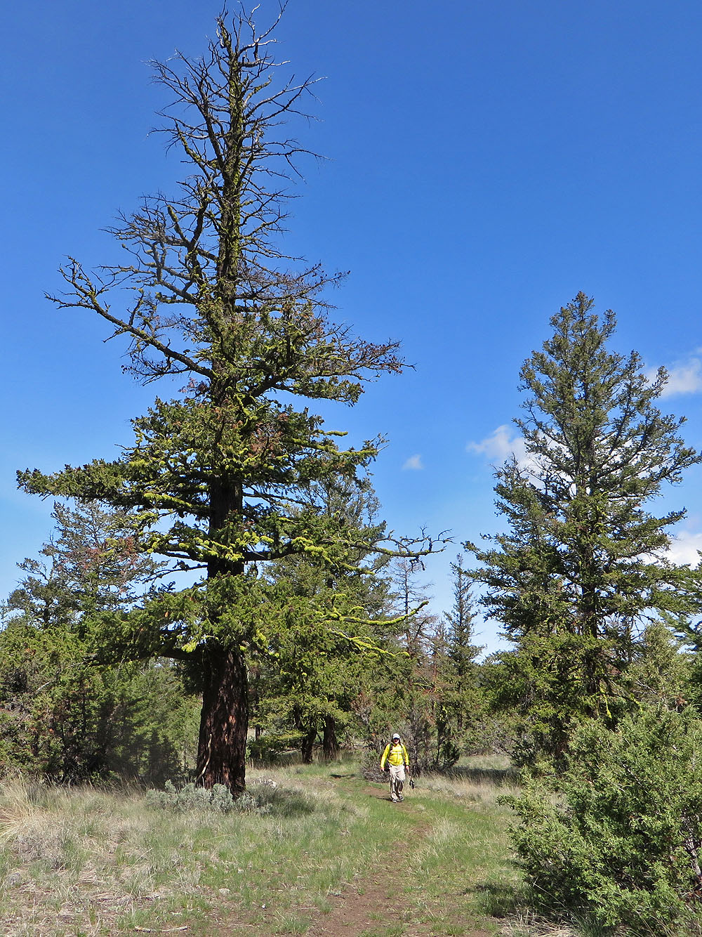
Impressive Douglas fir just before the viewpoint
 Looking down at Mara Canyon
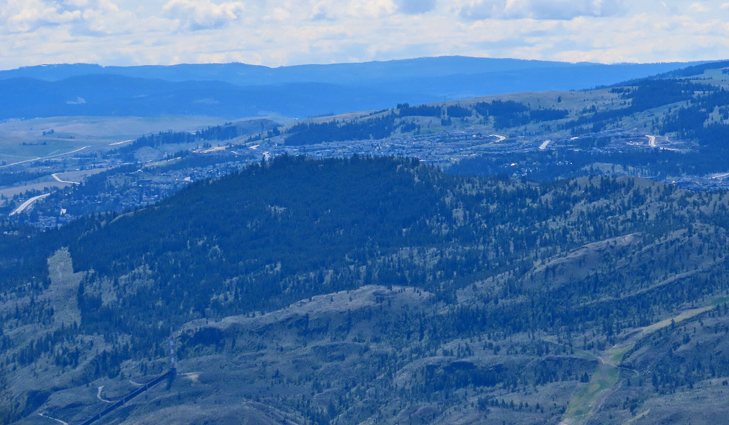
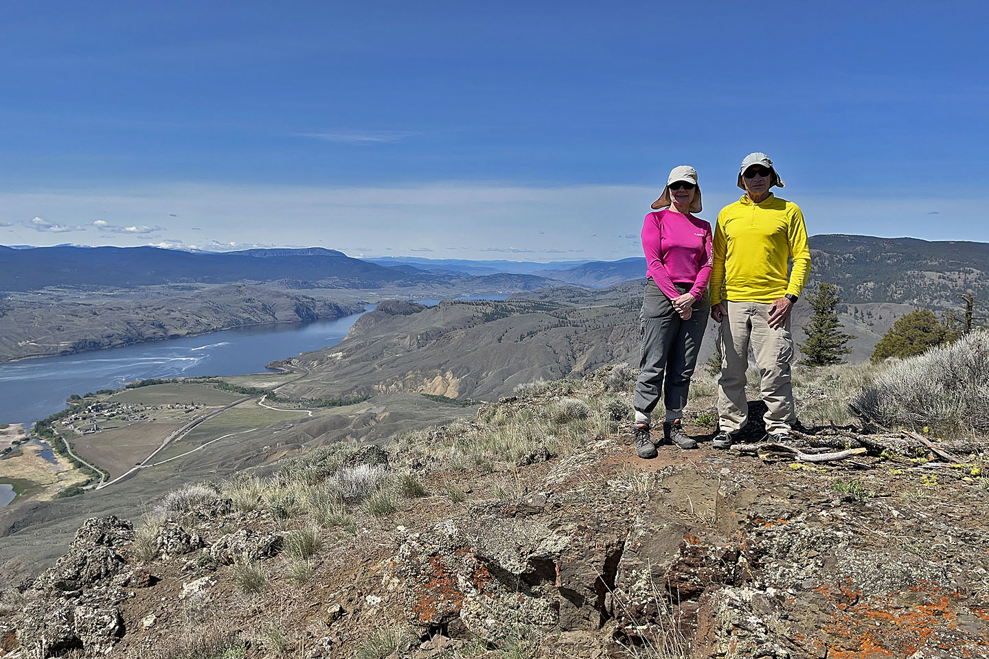 On the viewpoint. Battle Bluff near the centre.