bobspirko.ca | Home | Canada Trips | US Trips | Hiking | Snowshoeing | MAP | ABOUT
Dufferin Hill
Kamloops, B.C.
April 28, 2025
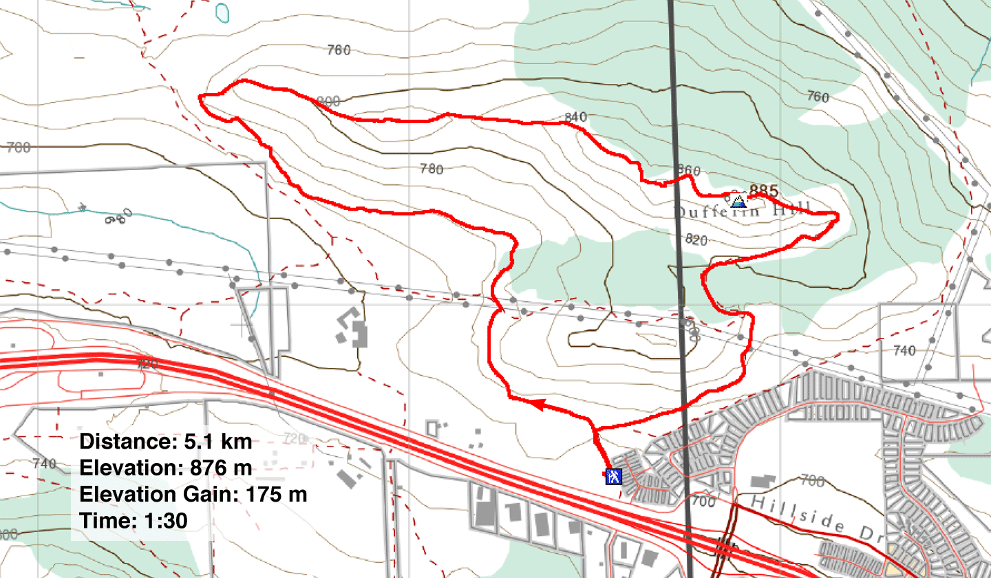
Distance: 5.1 km (3.2 mi)
Cumulative Elevation Gain: 230 m (755 ft)
Despite the dreary weather on our first day in Kamloops, Dinah and I ventured up Dufferin Hill in Kenna Cartwright Park, just west of the city. The grey skies and light rain only added to the adventure. We embarked on a clockwise loop hike, taking advantage of the trails that crisscrossed the hill and the service road that led to the communication tower on the summit.
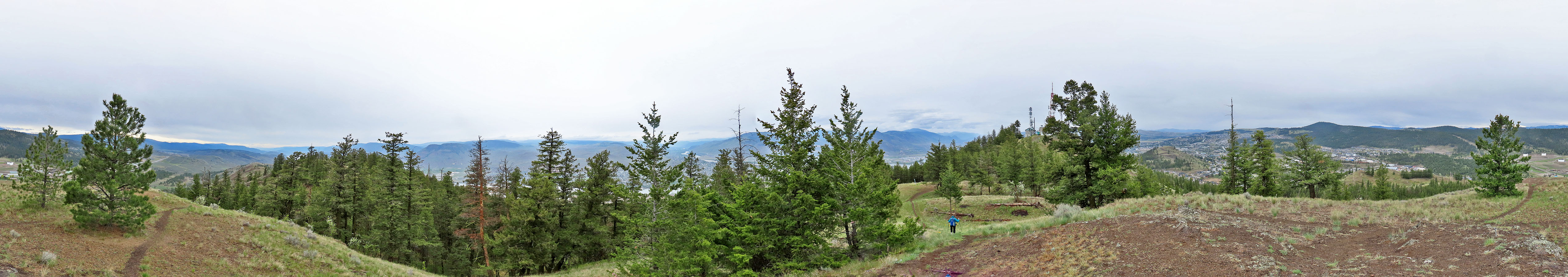
From the parking lot, we followed the trail west, contouring low on the southwest slope before gaining the ridge. Once on the ridge, we turned sharply east and hiked up the undulating ridge, encountering surprisingly steep sections. Finally, we reached a high point before the summit, where I took a panorama. However, due to the fenced-in area, there was no way to reach the summit.
Continuing along the path, we reached the service road. We paused next to the summit to admire the view, but the overcast skies limited our visibility. Afterwards, we descended the service road. It was a gloomy day, so we were delighted to spot a mountain bluebird before reaching the road’s end.
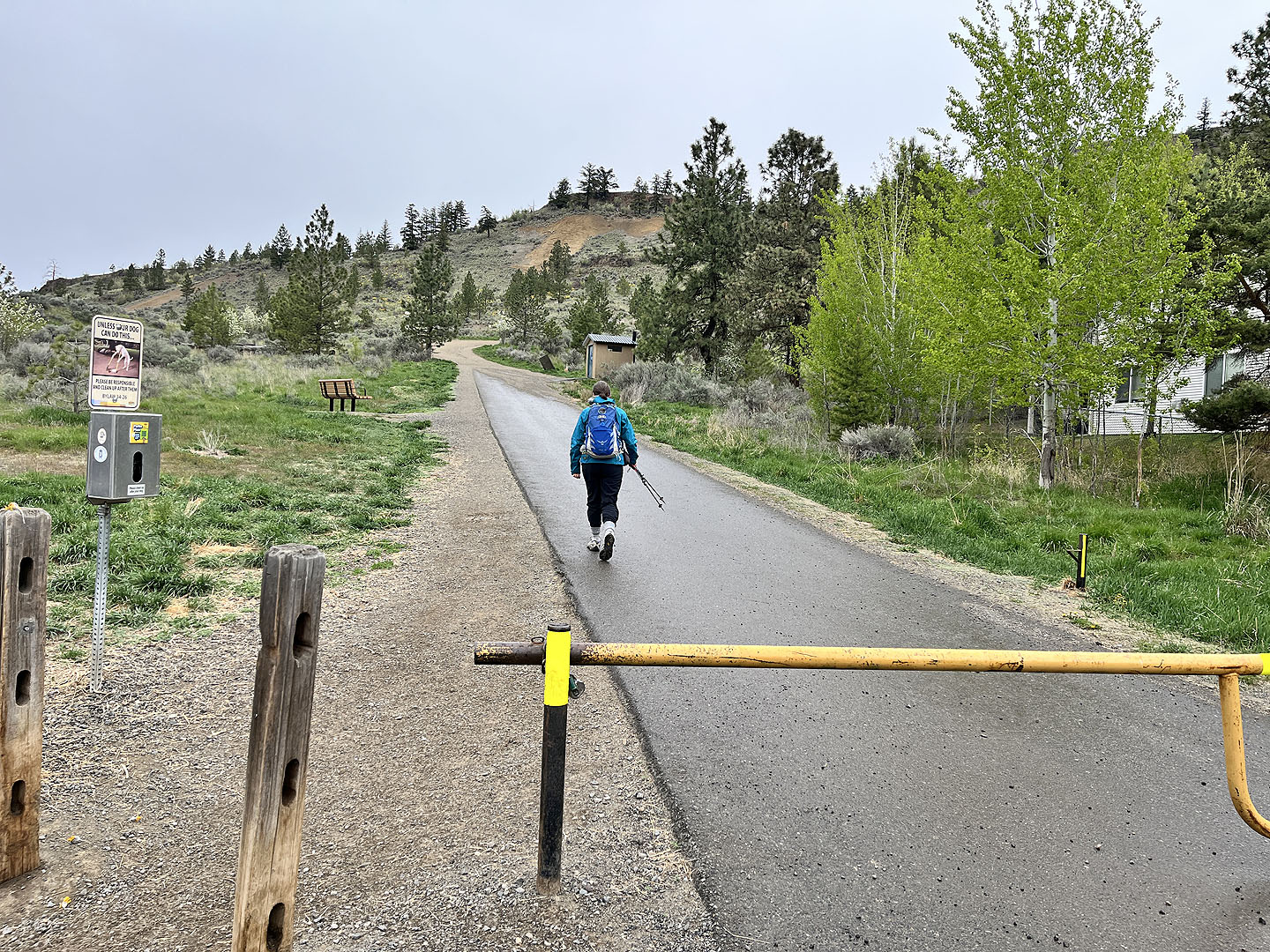 Starting up the trail
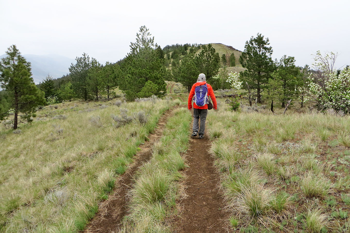
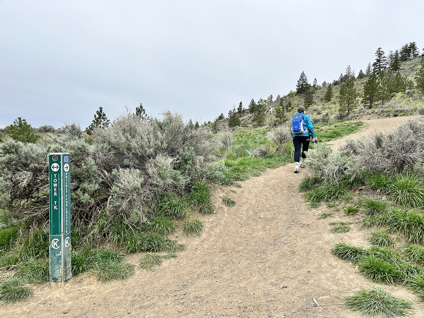 We soon arrived at the fork, the beginning
of the loop, and turned left onto Prickly Pear Cactus
We soon arrived at the fork, the beginning
of the loop, and turned left onto Prickly Pear Cactus
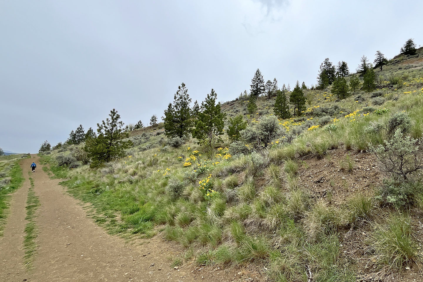 Balsamroot flowers appeared on the slopes (mouse over for a close-up)
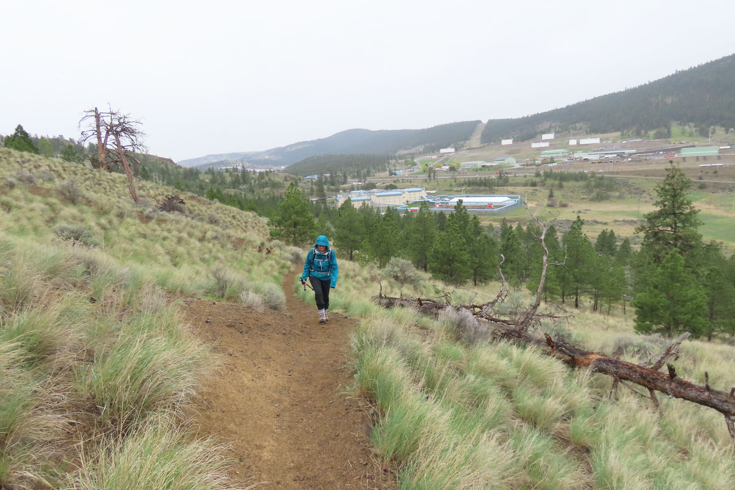 Behind is the Kamloops Regional Correctional Centre (mouse over)
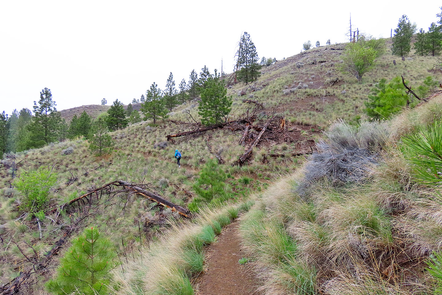 After contouring the southwest slope, the
trail finally begins climbing to the ridge
After contouring the southwest slope, the
trail finally begins climbing to the ridge
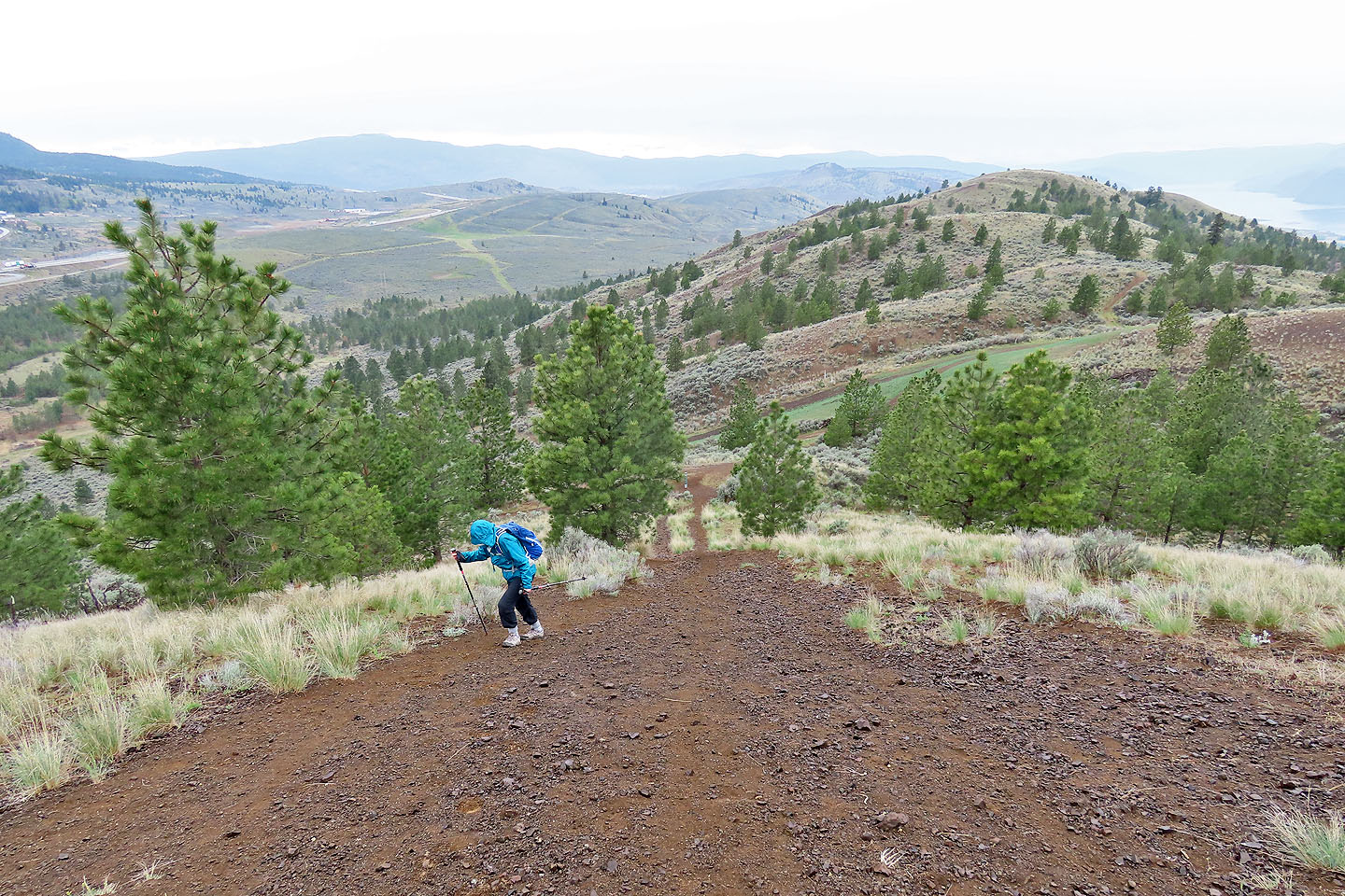
 Going up the steep ridge
 Looking back
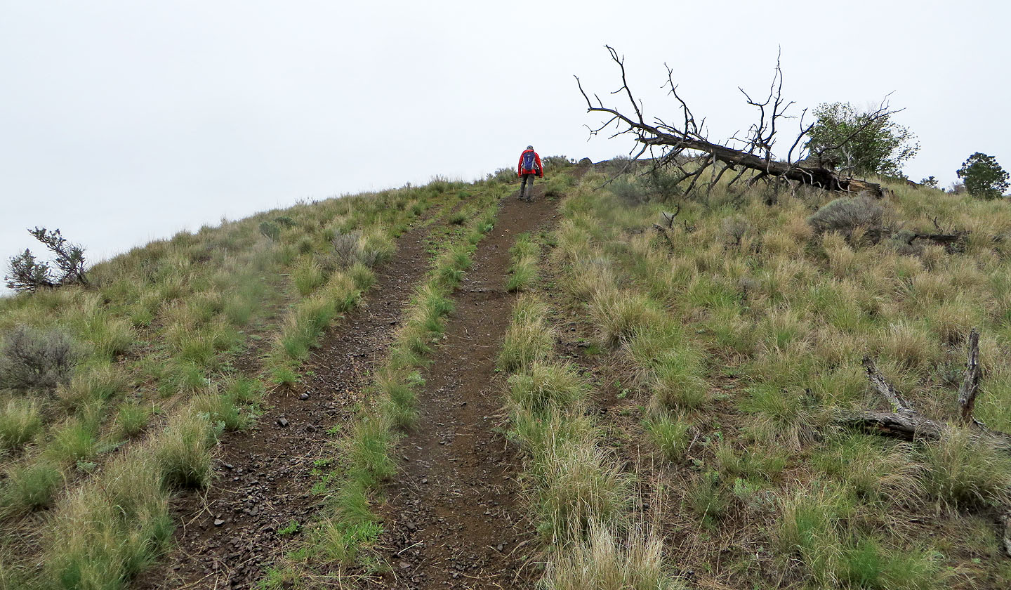
We went over a few bumps along the ridge
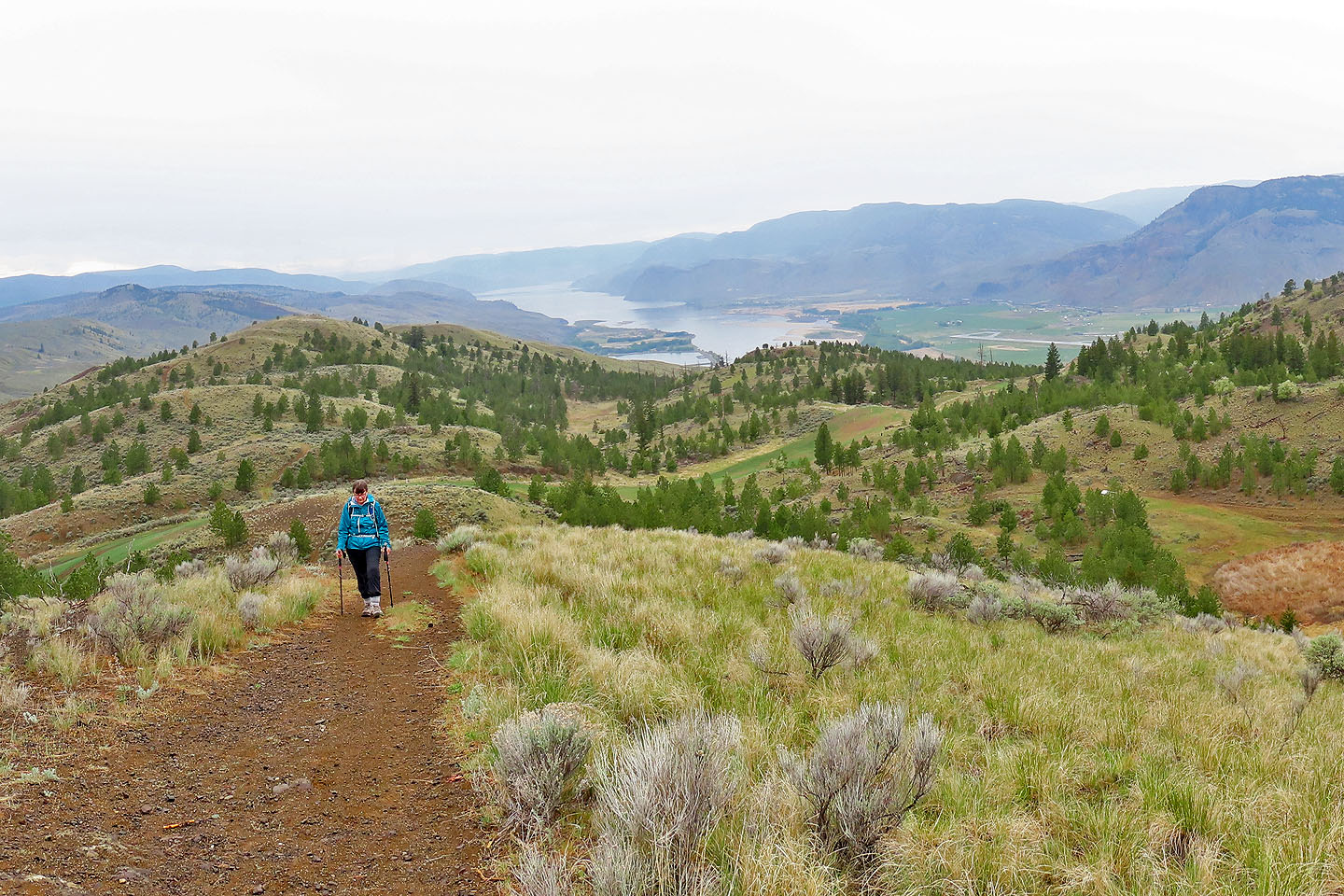 Kamloops Lake lies northwest
 More bumps but we still can't see the summit
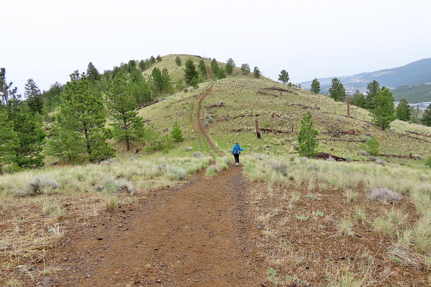
 Finally the summit appears. On the right, a Saskatoon berry bush was flowering (mouse over).
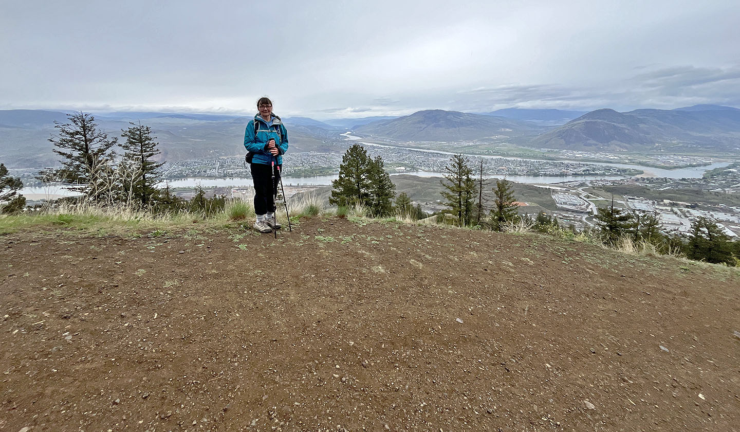 Dinah stands on a viewpoint
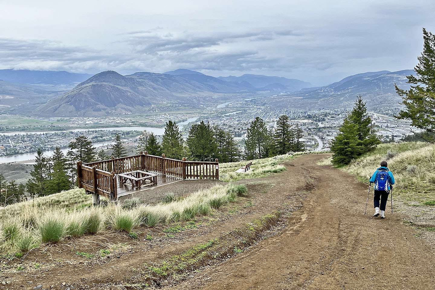 Heading down. On the left, above Thompson River, are
Paul Peak and Peter Peak.
Heading down. On the left, above Thompson River, are
Paul Peak and Peter Peak.
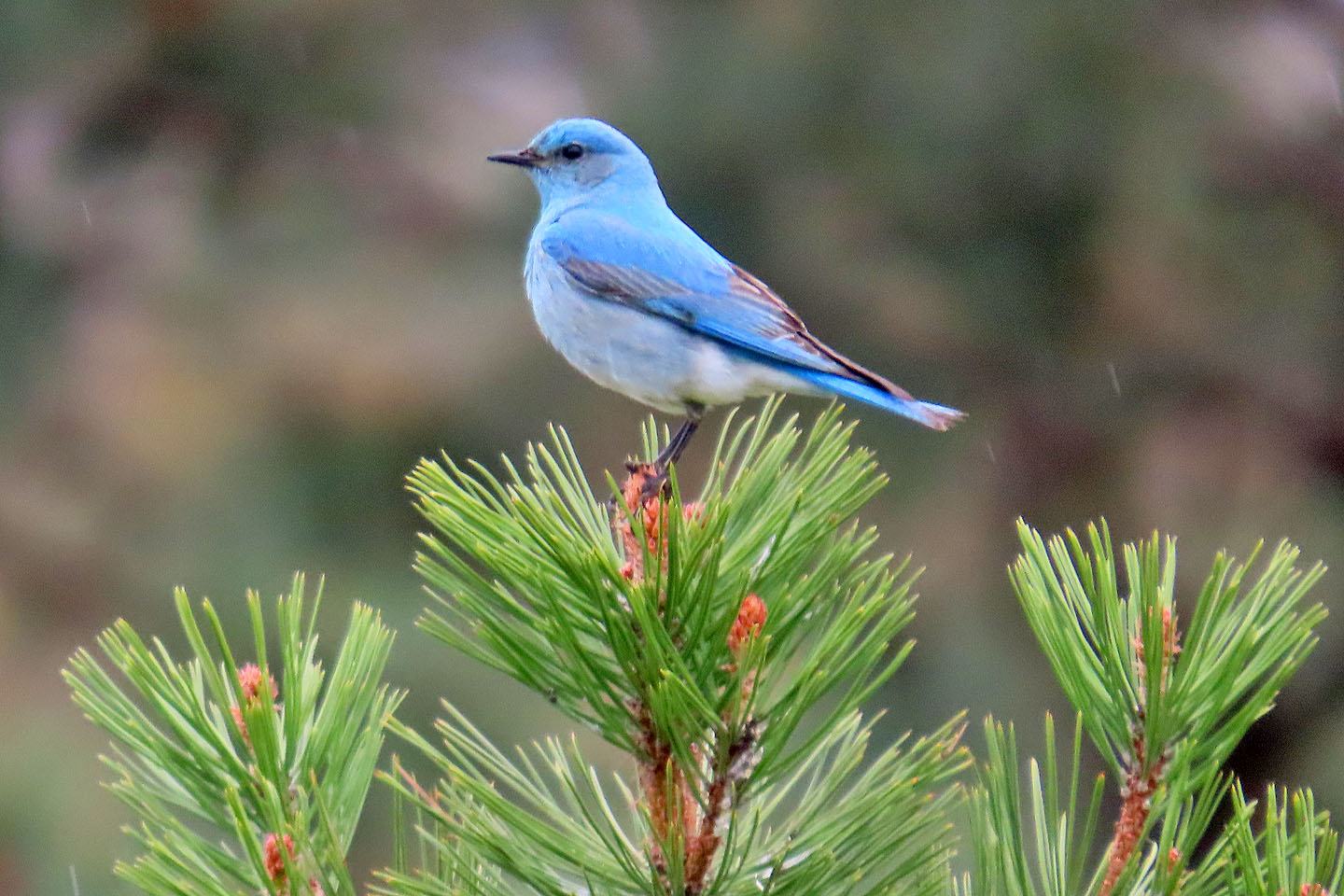 Mountain bluebird