bobspirko.ca | Home | Canada Trips | US Trips | Hiking | Snowshoeing | MAP | ABOUT
Battle Bluff
Lac du Bois Grasslands Protected Area, B.C.
April 29, 2025
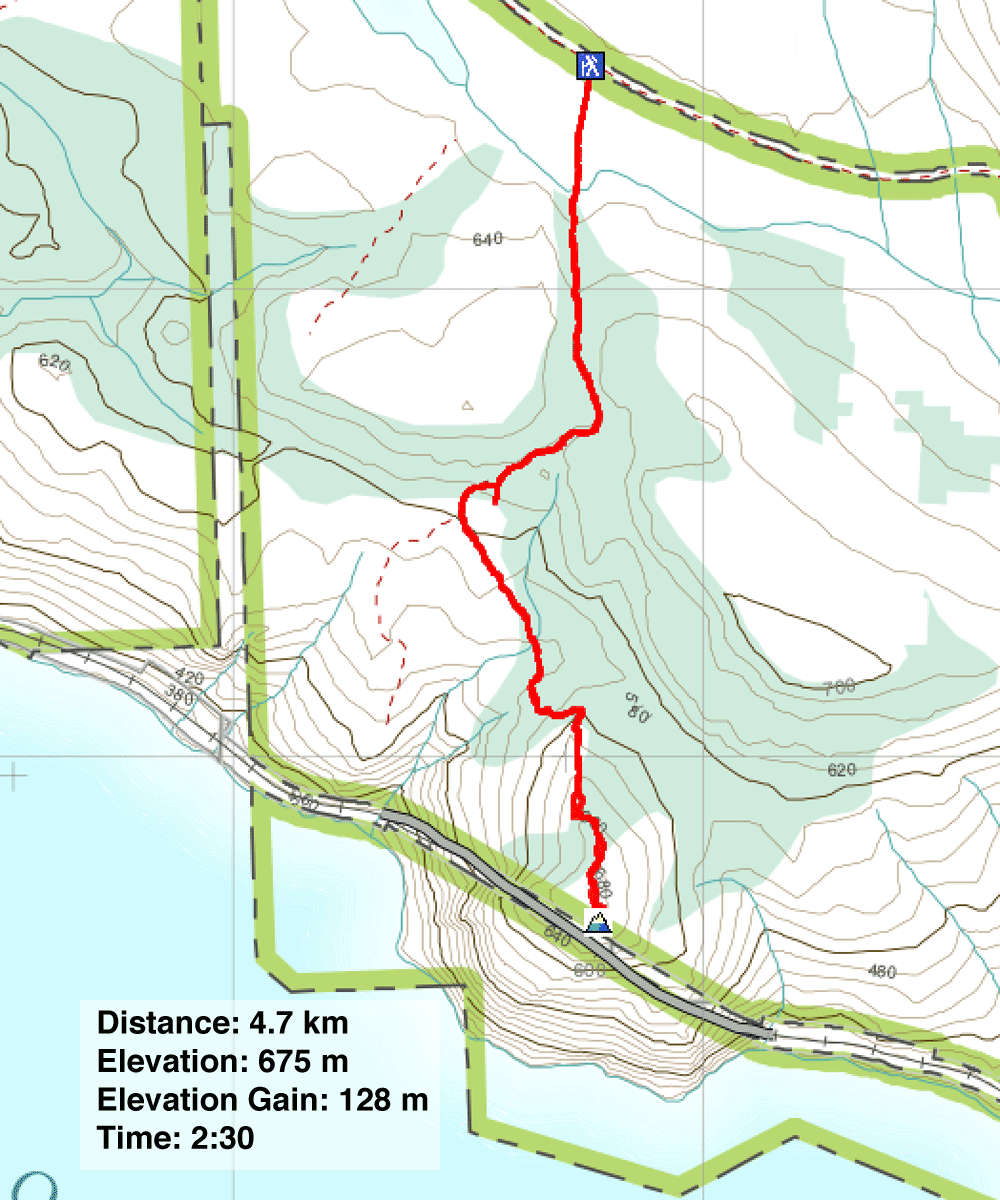
Distance: 4.7 km (2.9 mi)
Cumulative Elevation Gain: 264 m (866 ft)
Battle Bluff’s popularity is no surprise, with its breathtaking view of Kamloops Lake stretching out below an open summit and a short, easy trail. The trailhead is a half-hour drive west of Kamloops, with the last several kilometres on a good gravel road.
From a small parking lot, Dinah and I started up the trail and crossed a flat, open expanse before reaching the base of a lightly forested, small ridge. From the ridgetop, we could see Battle Bluff and Kamloops Lake, but the elevation we gained and more, was quickly lost when the trail dropped down 100 metres. Before going all the way down, however, we took a brief detour up a knoll to a worthwhile viewpoint. Back on the main trail, we followed it to the base of the bluff and up to the broad summit.
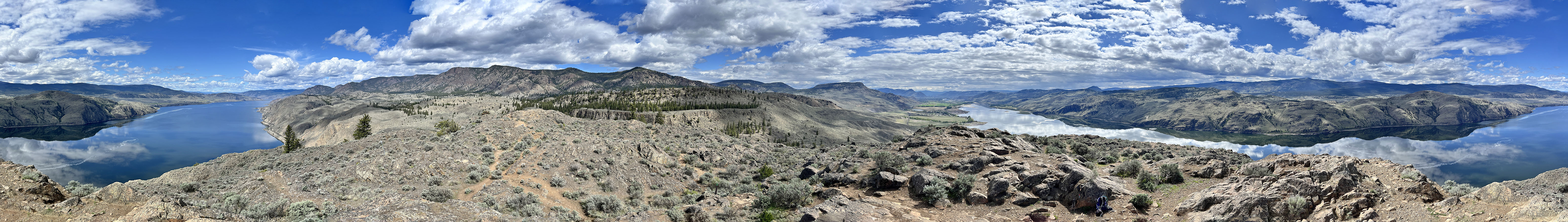
A massive cairn marks the highest point, accompanied by a summit register. We spent several minutes admiring the sight of Kamloops Lake. But our attention was also drawn to Mara Hill to the east, which we planned to climb the following day. After enjoying the vistas, we made our way back. We still faced the ascent back up the ridge. The afternoon sun beat on the open slope during our ascent, so we welcomed the coolness of the forest on top. Before long, we were back at our car.
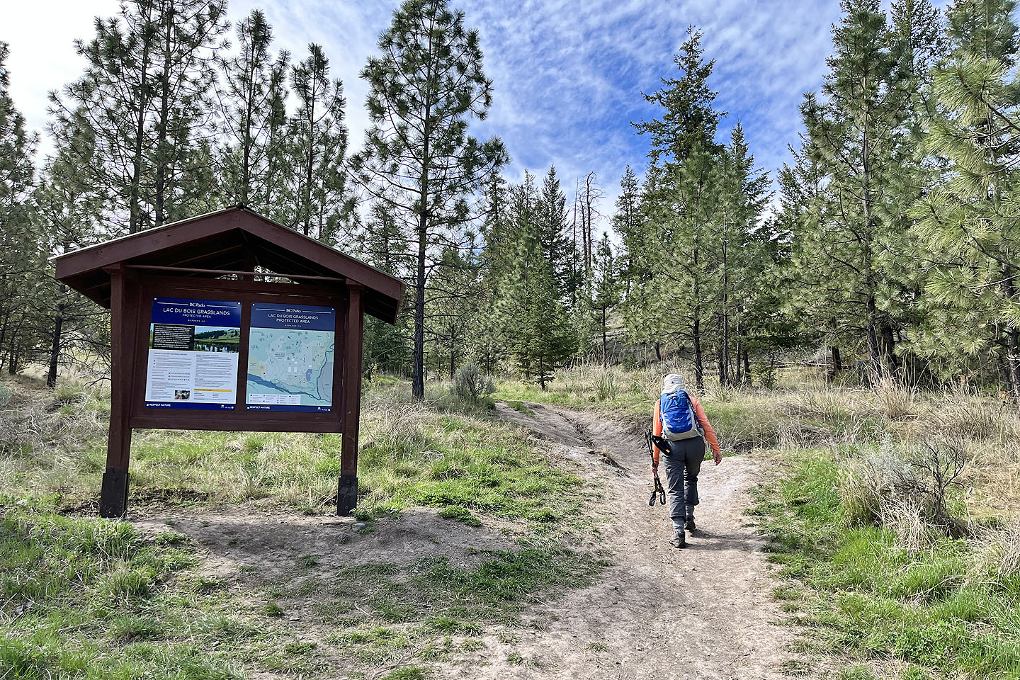
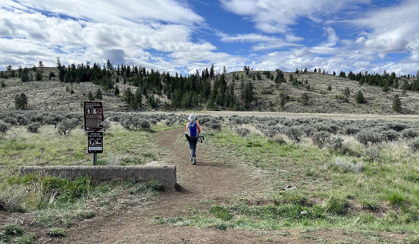 Starting up the trail from the parking lot. Ahead is a low ridge that we have to go over.
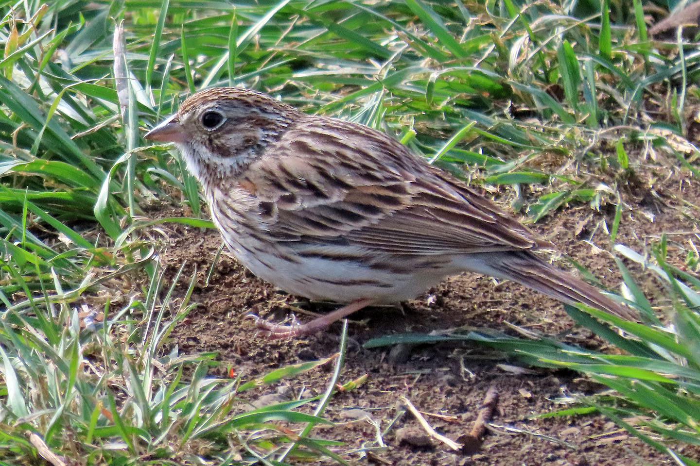 A vesper sparrow fed by the trail
 Starting up the ridge
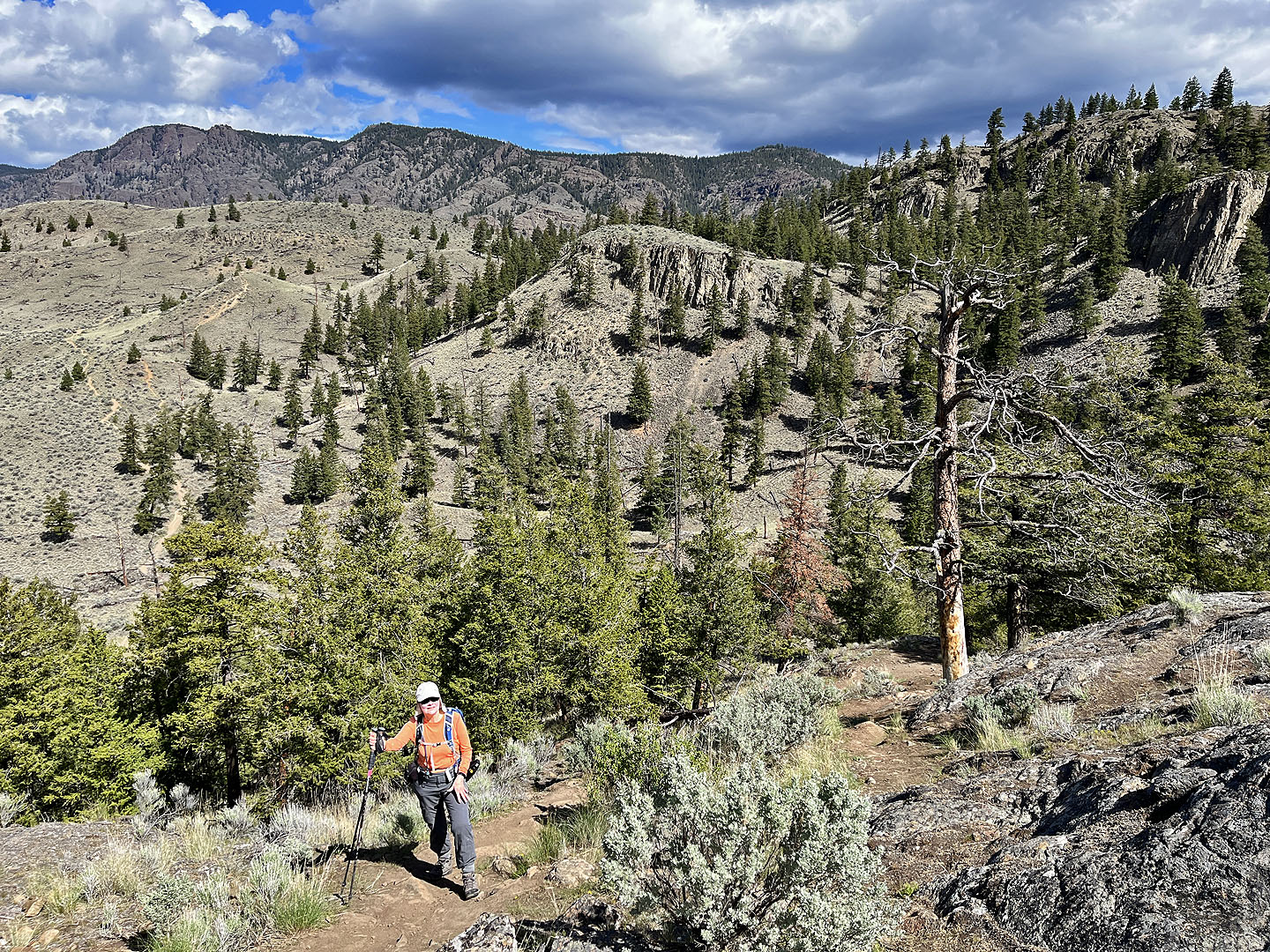
 Nearing the top of the ridge
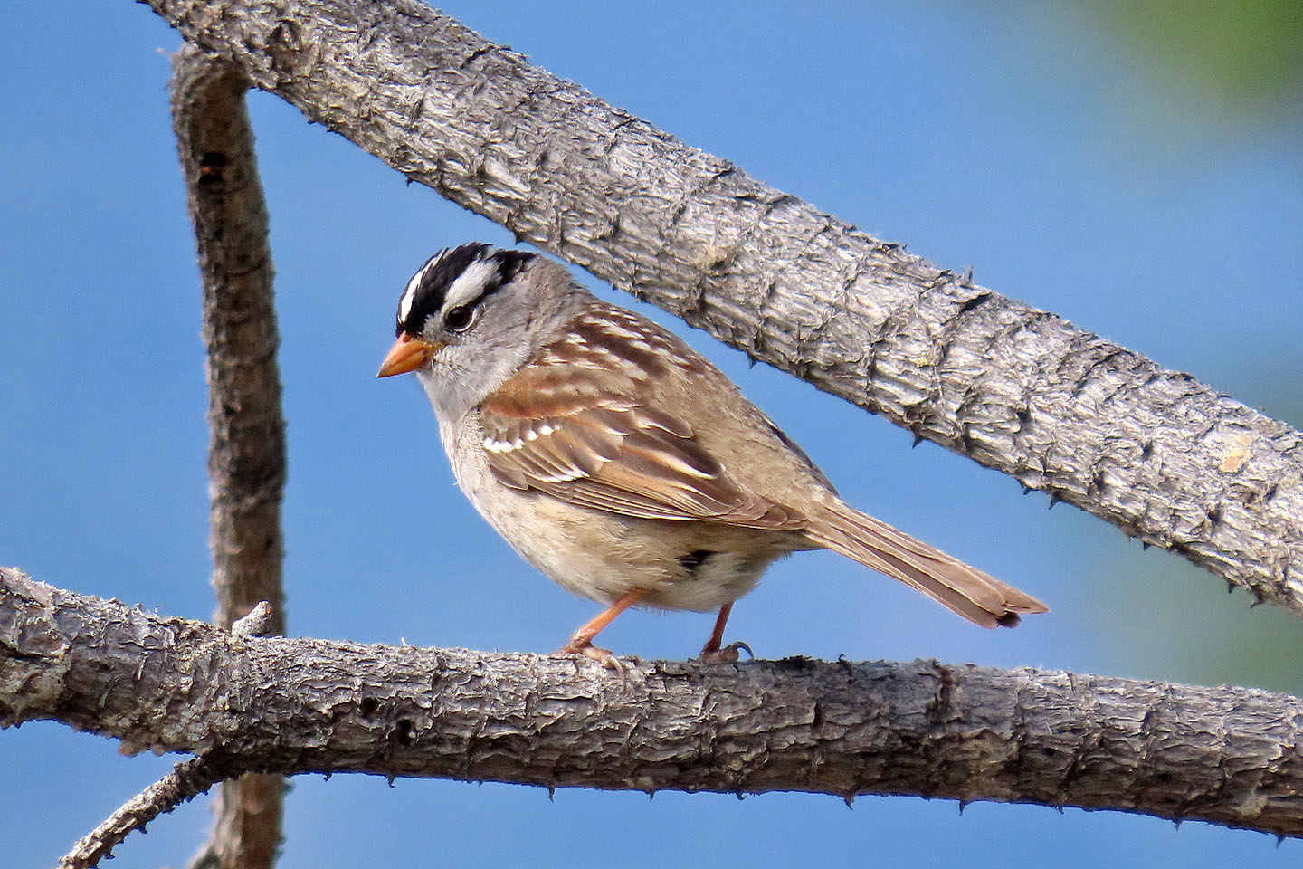 White-crowned sparrow
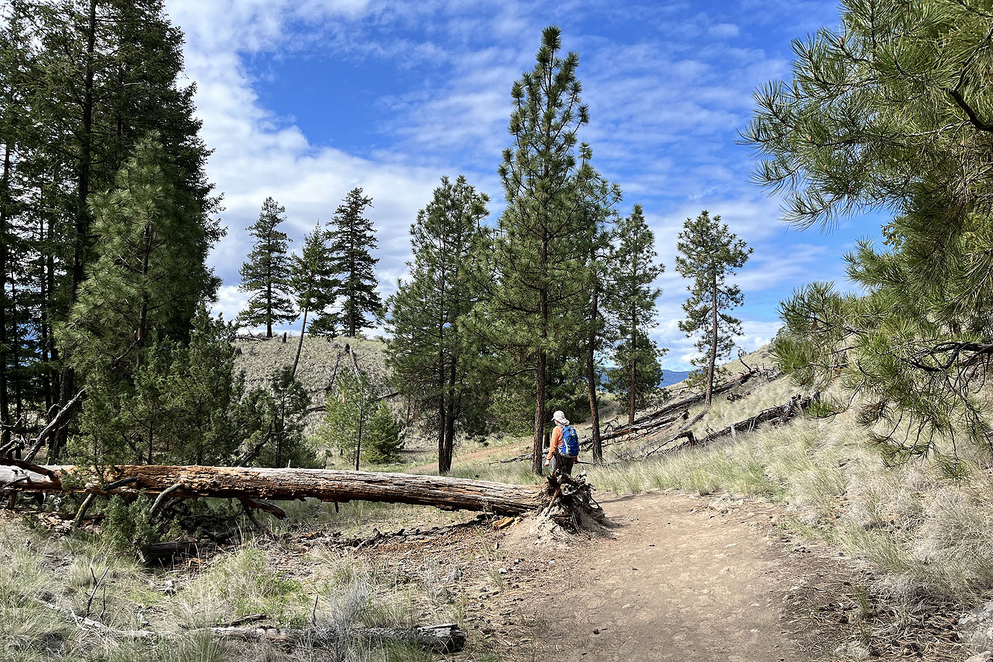
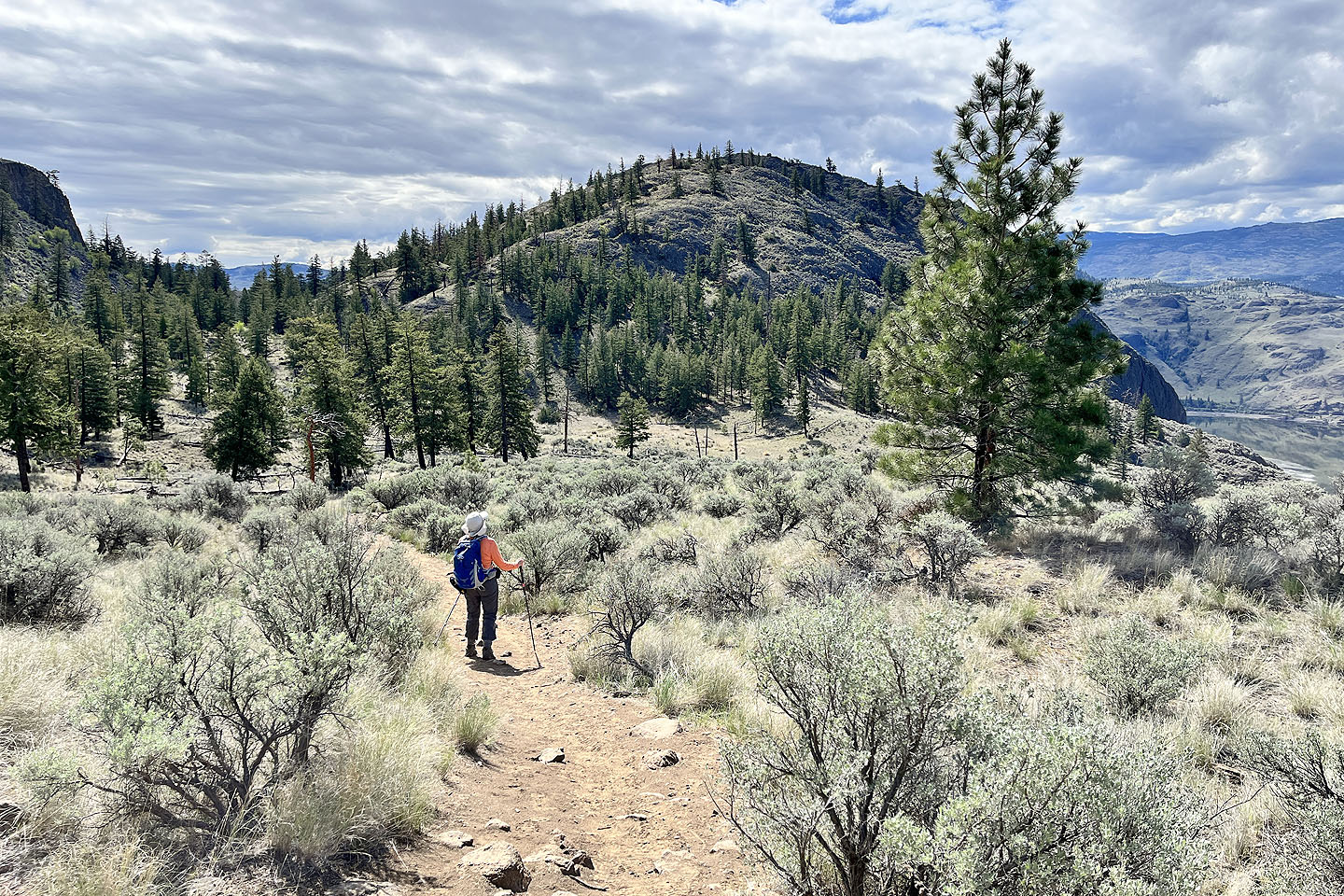
 Descending the other side. Behind the tree is a viewpoint.
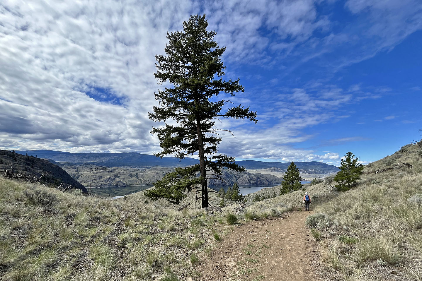
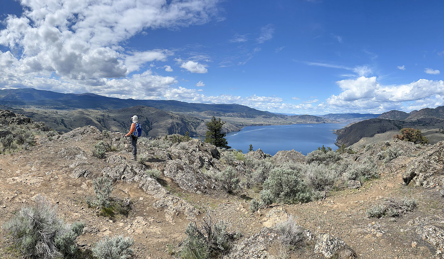
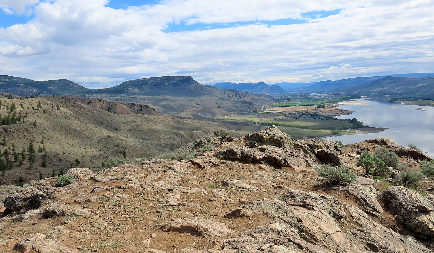
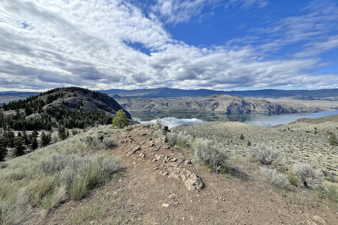 Battle Bluff and Kamloops Lake seen from the viewpoint
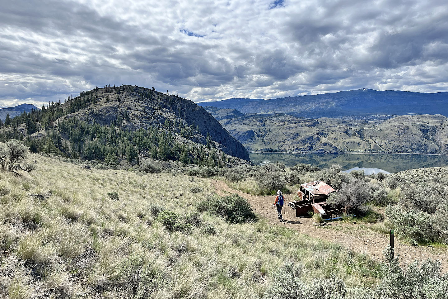 Continuing down the trail, we passed a rusted station wagon (mouse over for a close-up).
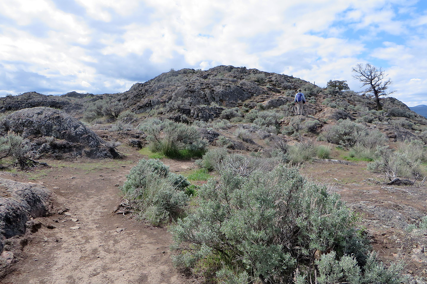
 Approaching Battle Bluff
 Looking back at the viewpoint (centre) as we ascended Battle Bluff
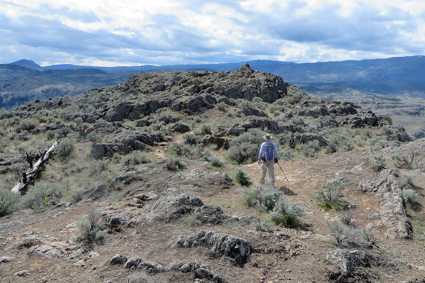
 Crossing the broad top to the summit
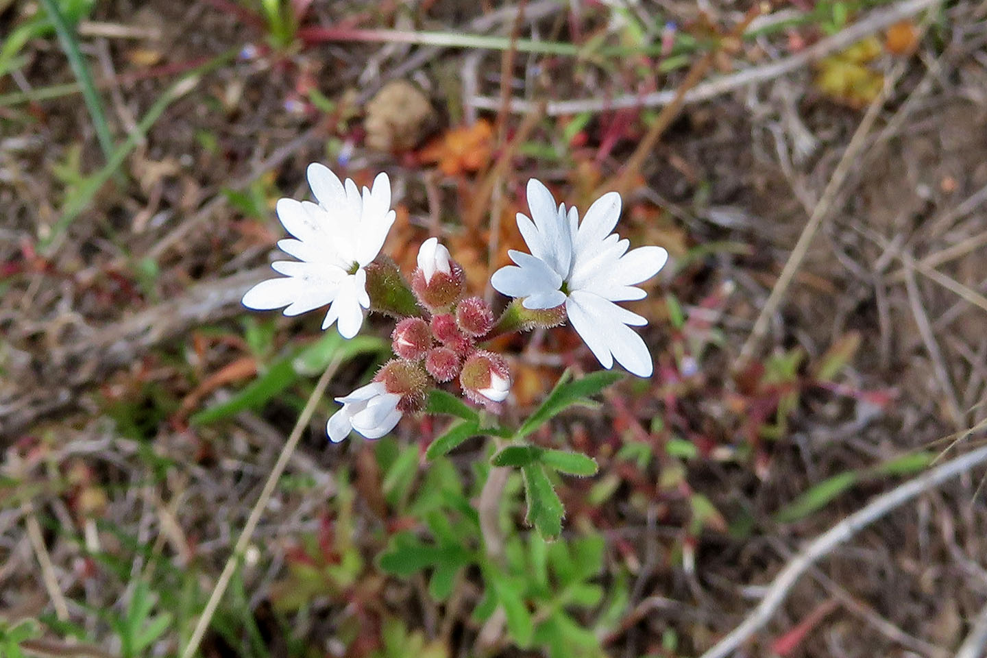 Prairie star
 Approaching the highest point
 A large cairn marks the top
 Looking east at Mara Hill (mouse over for a close-up)
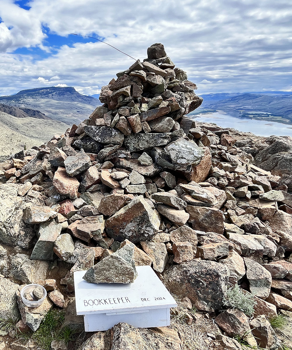
Mouse over to see summit register contents
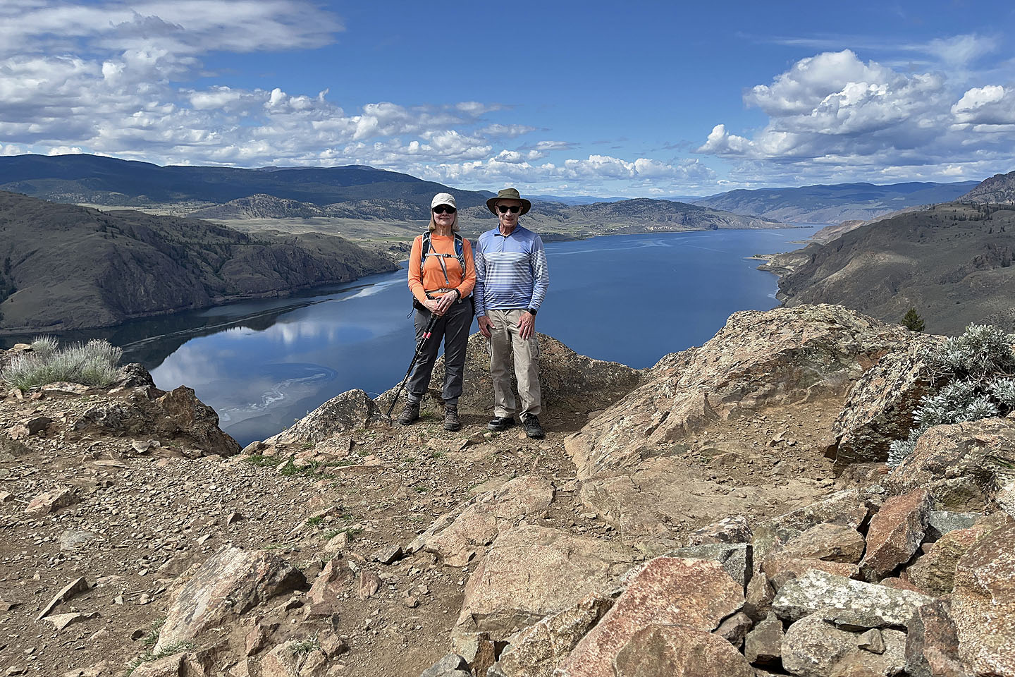 On the summit