bobspirko.ca | Home | Canada Trips | US Trips | Hiking | Snowshoeing | MAP | About
Mount Crandell
Waterton Lakes National Park, Alberta
June 10, 2005
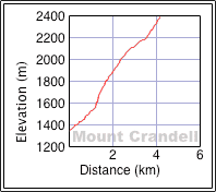
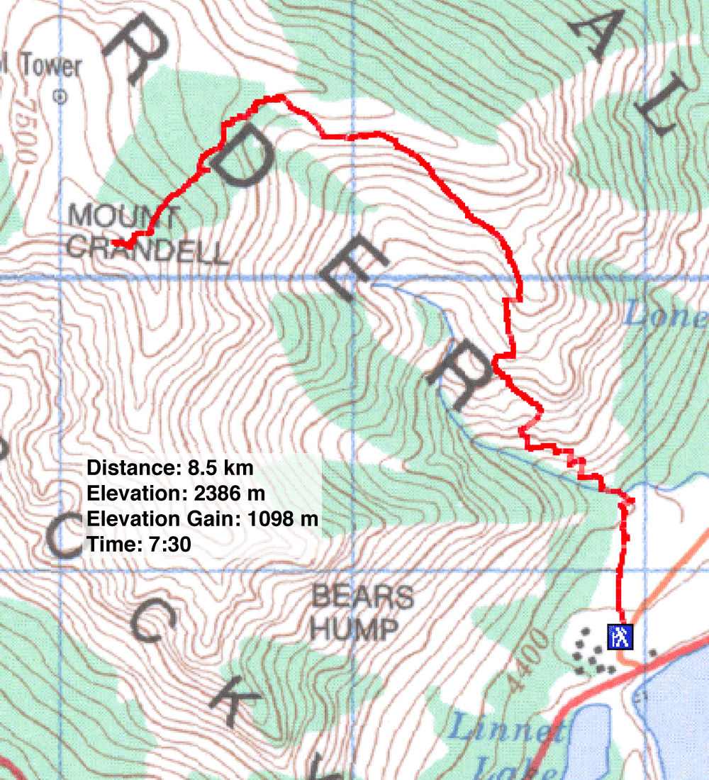
Distance: 8.5 km (5.3 mi)
Cumulative Elevation Gain: 1100 m (3609 ft)
When Dinah and I drove to Waterton to climb Mount Crandell, we were unaware it had received heavy precipitation overnight. When we reached the park, we realized we faced a problem. Several inches of fresh snow at higher elevations forced us to use the easiest route rather than attempt the exposed scrambling route. This meant ascending and descending the route normally used for the descent.
Within minutes of starting, we were stymied at a creek crossing. The recent precipitation created high water levels. We spent an hour searching for a place to cross where we could use rocks and logs. Eventually we crossed the creek and made it up the drainage to the promontory. The usual route from here called for staying below the ridge and angling to the end of the basin. But fresh snow made the grassy slopes too slippery to negotiate, so we headed to the ridge crest. Although it took us farther away from the summit, travel was easier.
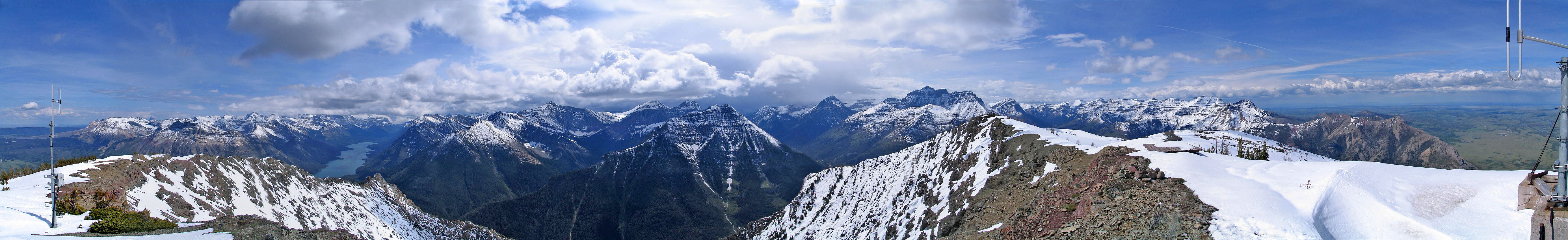
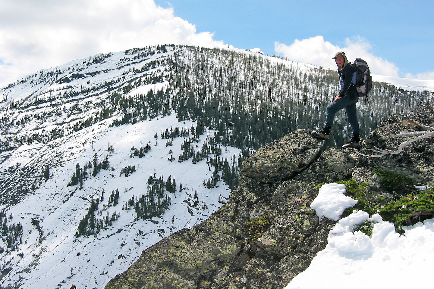
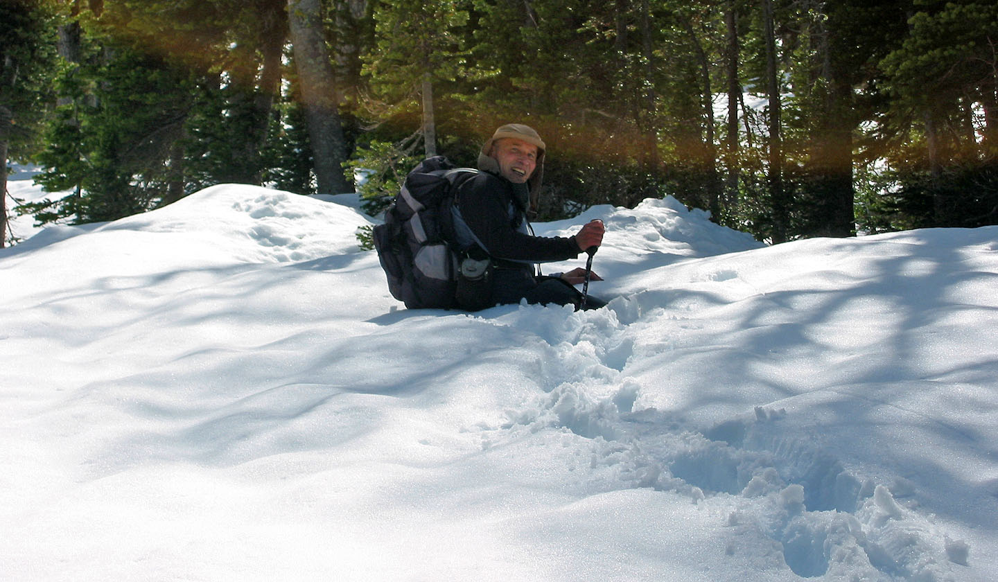
At first, we enjoyed the bare rock on the ridge, but as we approached the summit, the ridge became treed and snow-covered. Soon we were post-holing in snow. Moving at the speed of a turtle, we ascended the final 250 vertical metres in deep snow. For the most part, we sank up to our knees, but often we found ourselves waist-deep in snow. Eventually we reached the bare rock on the summit.
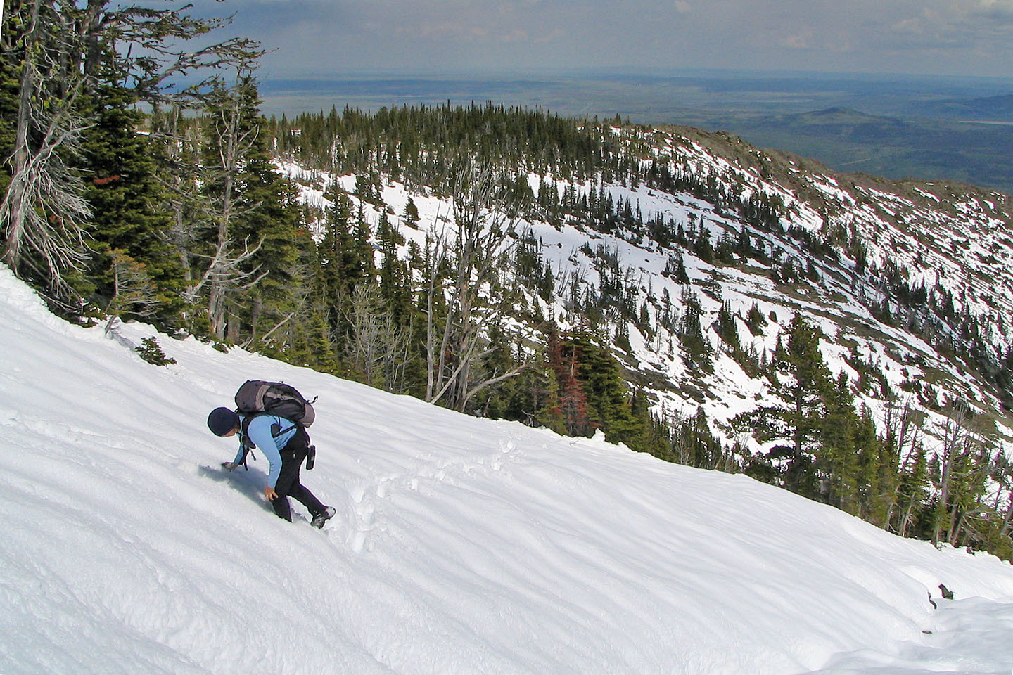
The return trip wasn't much quicker. Retracing our steps in the snow, we merely sank deeper. When we reached the end of the basin, we decided not to climb back up on the ridge. Following the guidebook's description, we angled along the slopes, but it was slow-going because it was slippery. Eventually we made it down to the drainage. Since we didn't care about getting our boots wet – soaked from post-holing – we forded the creek where the water wasn't flowing too briskly.
Perhaps we'll return someday when it's dry and ascend via Bear's Hump!
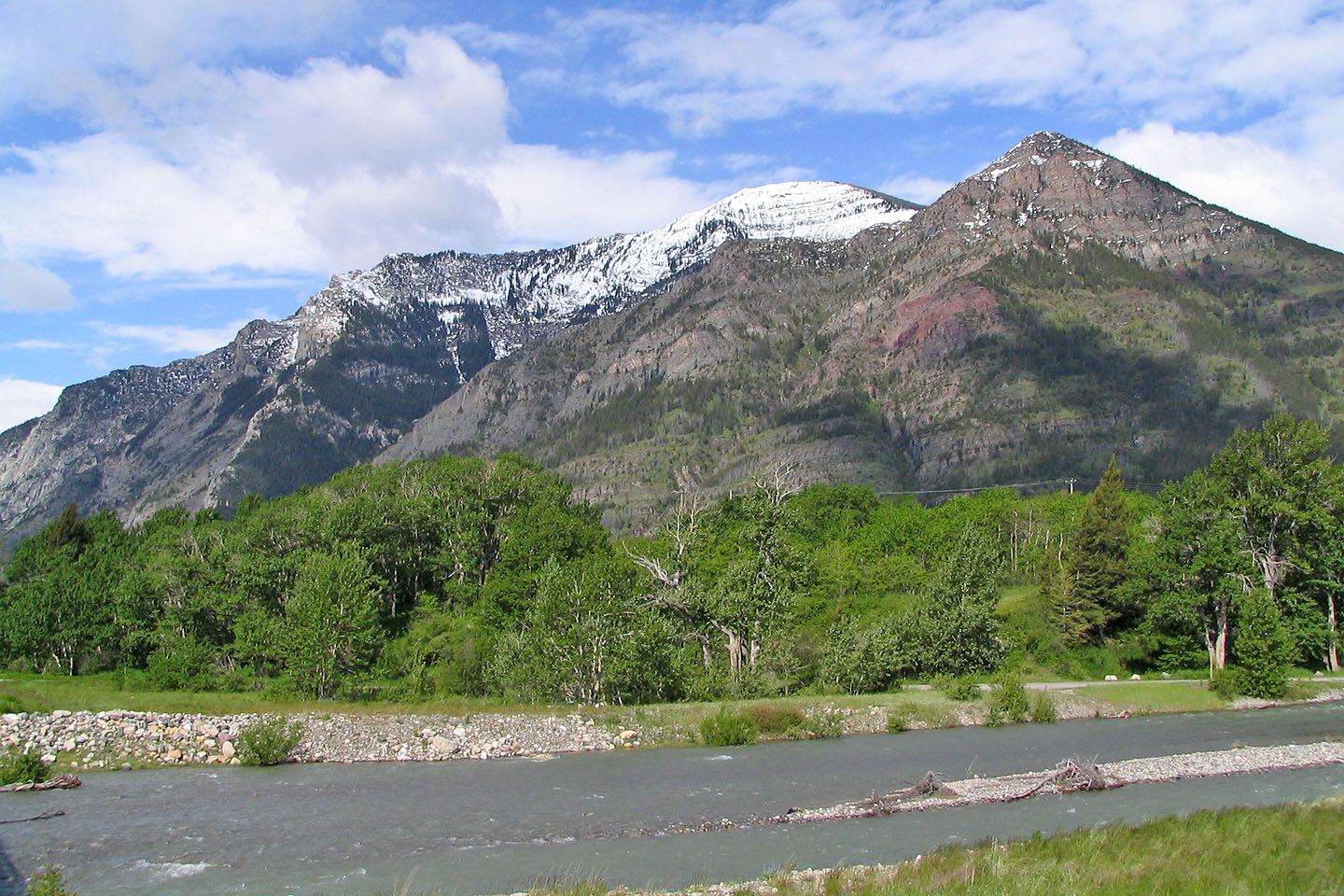
Snow-topped Mount Crandell seen from the road
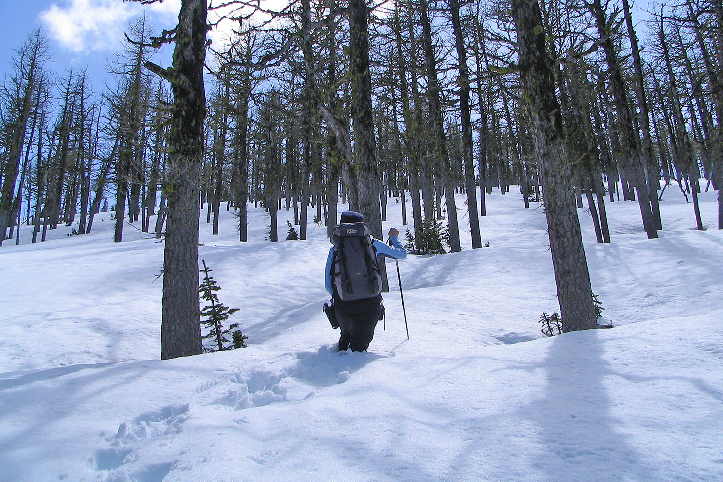
Starting up the trail
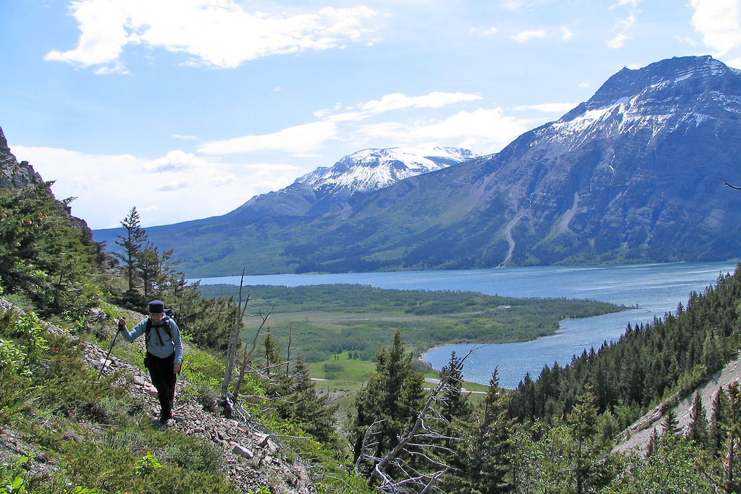
Sofa Mountain and Vimy Peak set the background
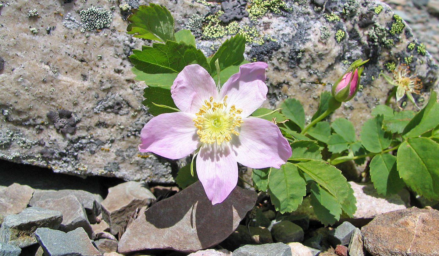
Prickly Rose, floral emblem of Alberta
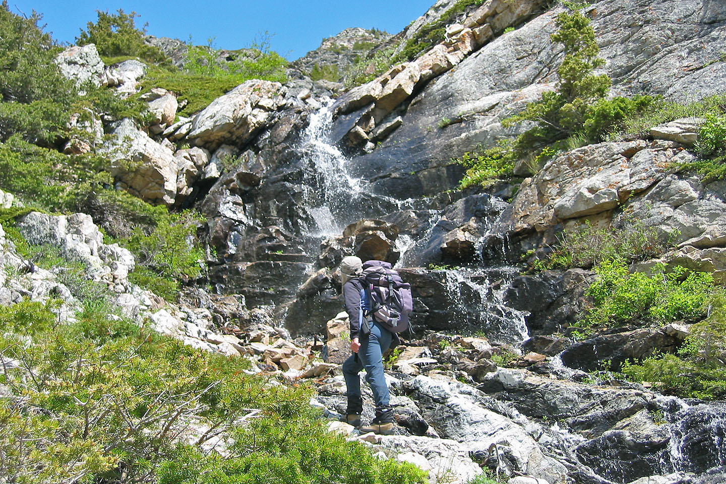
After heading up the creek, we passed a side drainage. We climbed left
of the waterfall to get to the promontory.
Climbing up the slope
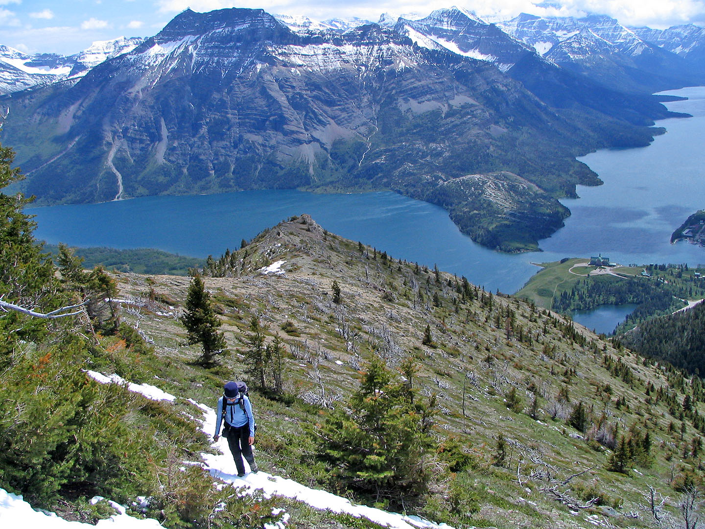
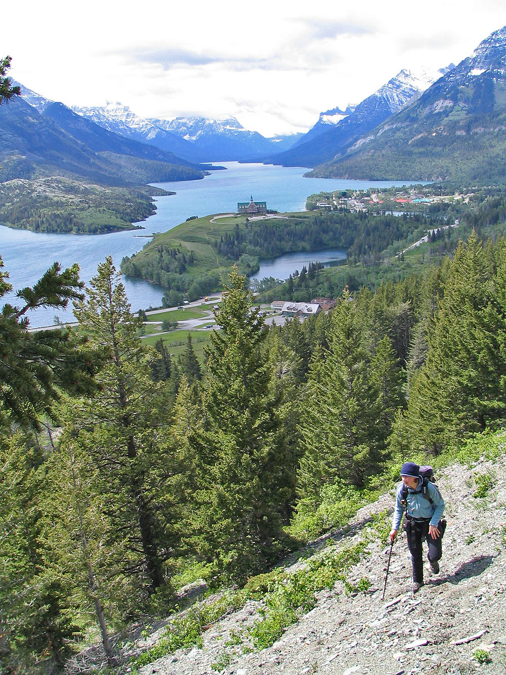
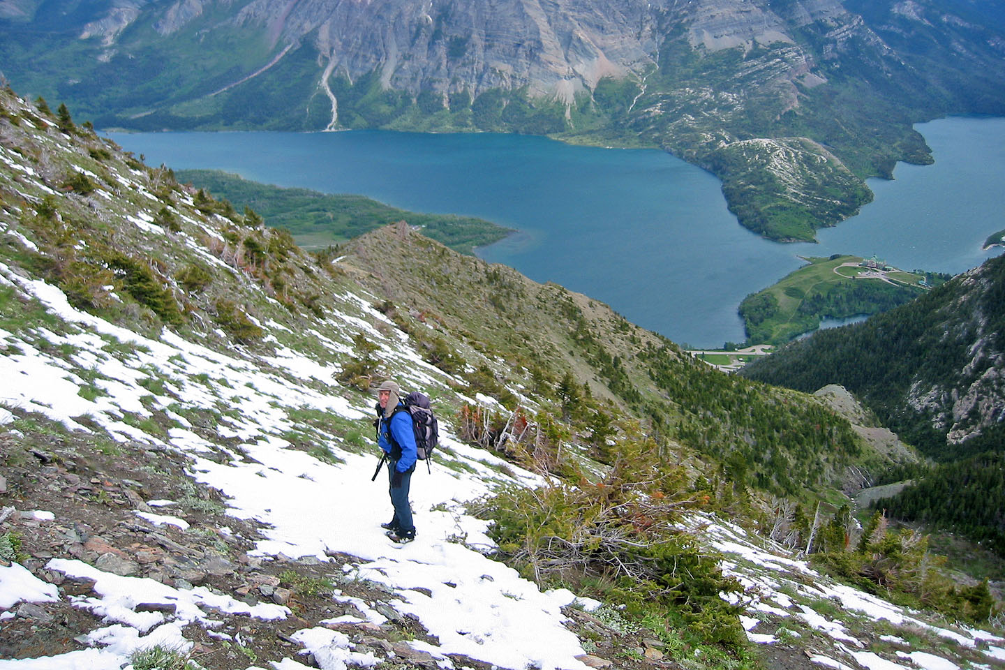
Far below is the Prince of Wales Hotel
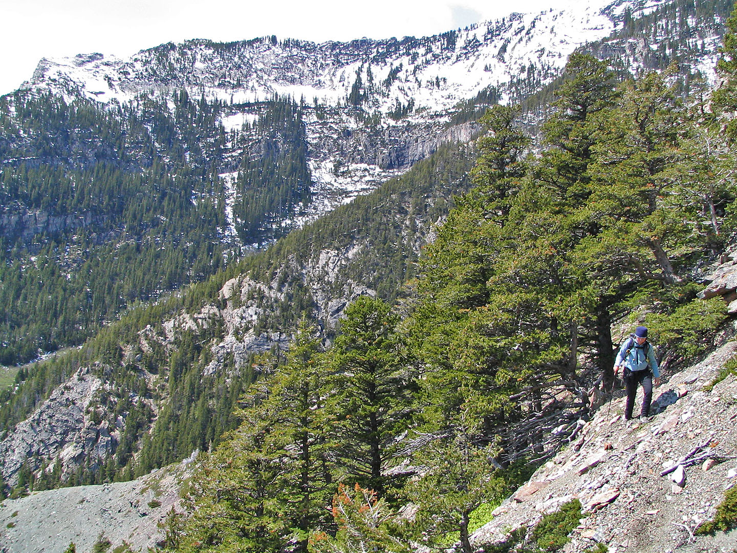
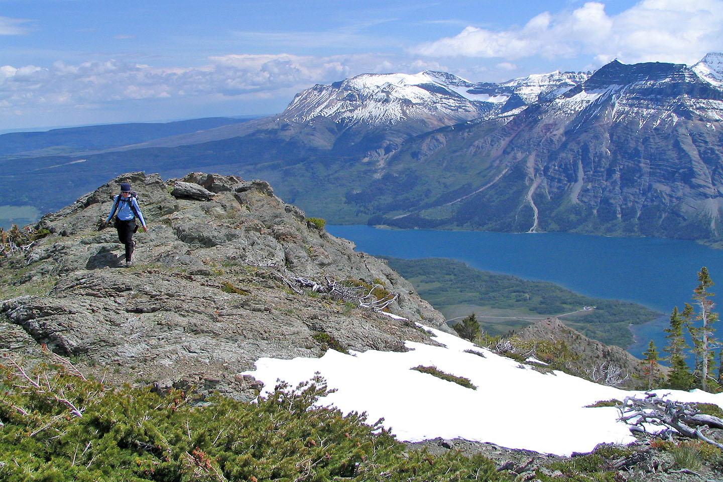
Since the slopes were slippery with snow, we got on the ridge. The summit is in the background.
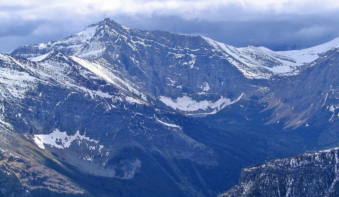
 Sofa Mountain and Vimy Peak in the background
We reached deep snow
In some places, we could barely move because of deep snow
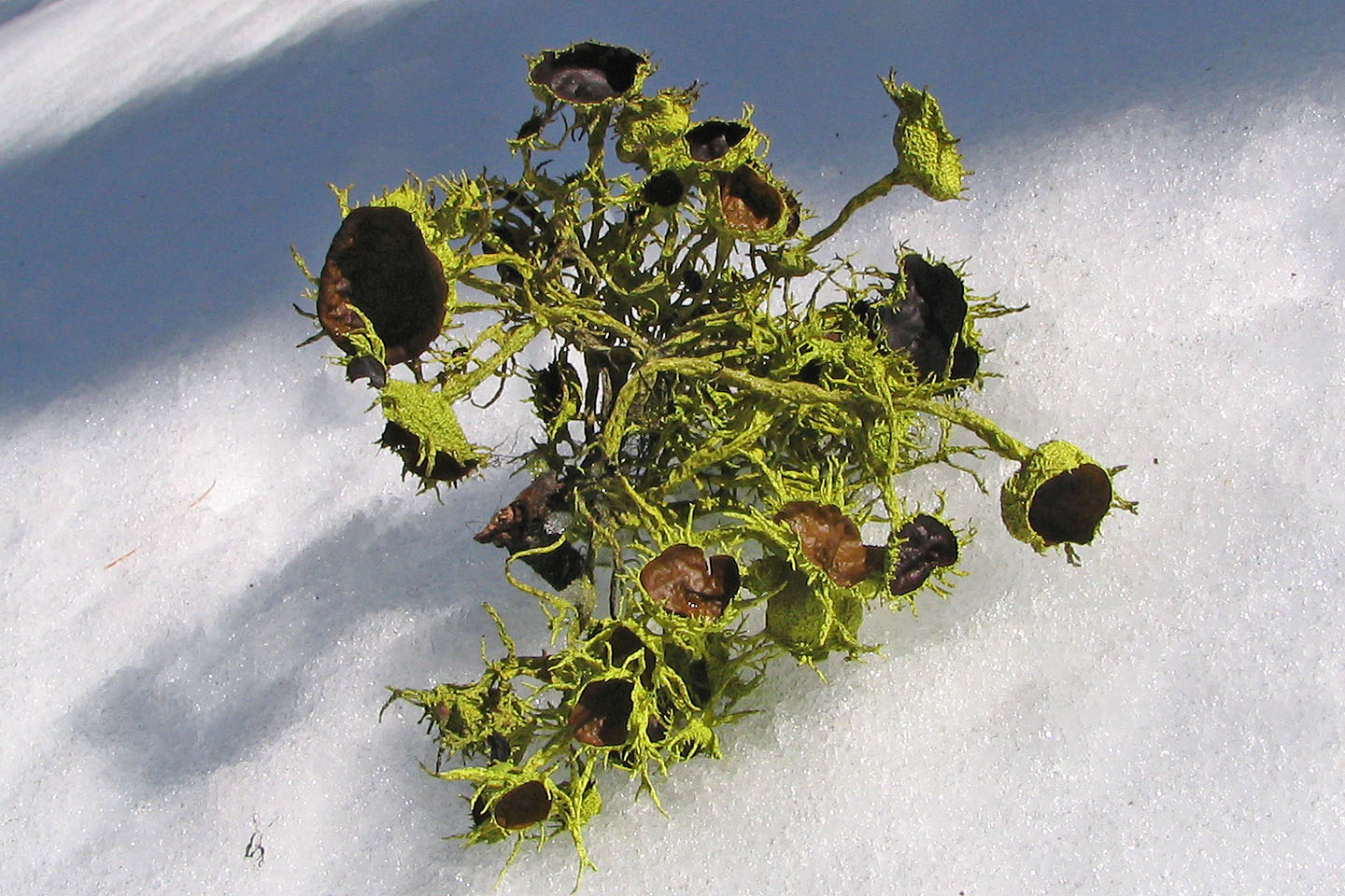
Alien life form?
Post-holing through larch trees below the summit
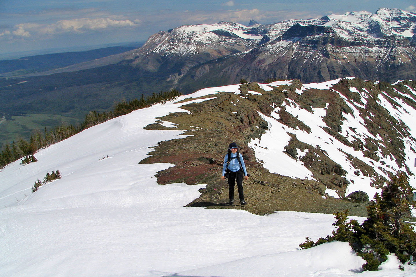
On the summit ridge
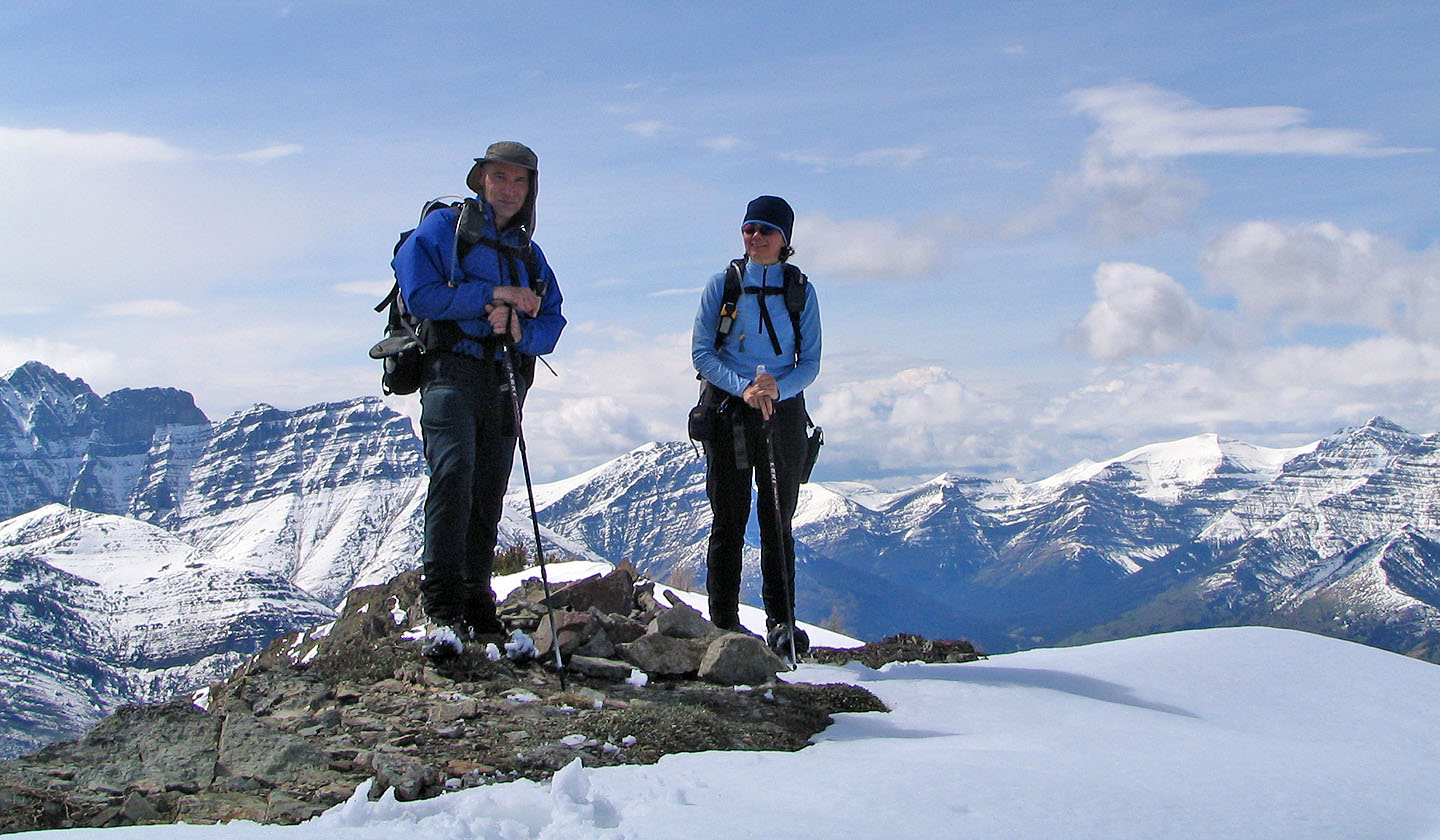
At the summit cairn
Going back down to the promontory (light gray bump on the bottom right)

Waterton Lakes stretches in front of us
82 H/4 Waterton Lakes