bobspirko.ca | Home | Canada Trips | US Trips | Hiking | Snowshoeing | MAP | About
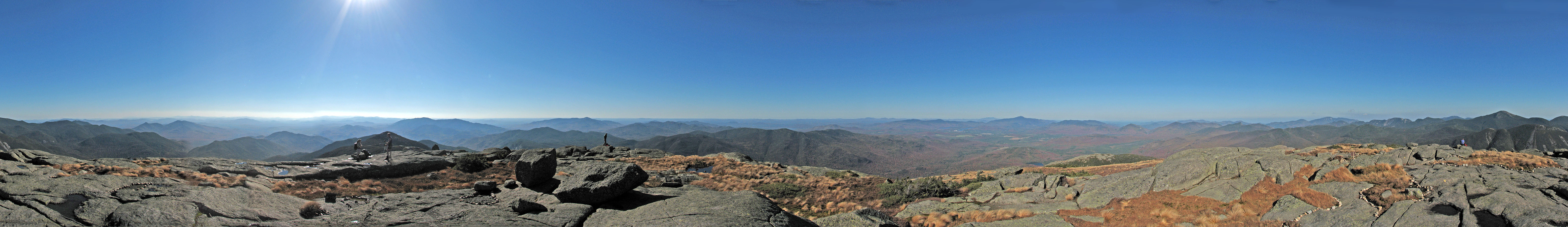
View from Algonquin Peak
Algonquin and Wright Peaks
Adirondacks, New York State
October 4, 2007
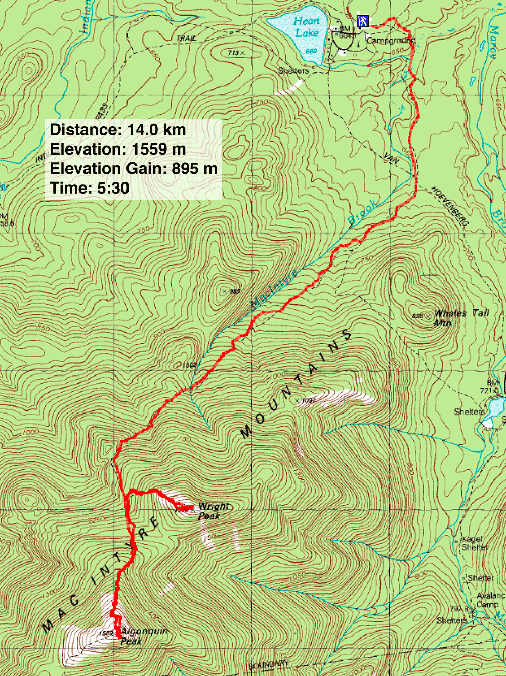
Distance: 14.0 km (8.7 mi)
Cumulative Elevation Gain: 1089 m (3573 ft)
The highest peaks in the Adirondacks are known as the "Forty-Sixers" and of these, Algonquin Peak is the second highest. This is the mountain that Dinah and I chose to climb on a beautiful, hot fall day.
From Montreal we drove three hours to Lake Placid, N.Y., and another 15 minutes to the trailhead at Heart Lake. We started up the Van Hoevenberg Trail, a popular trail that is broad, well-marked and well-maintained.
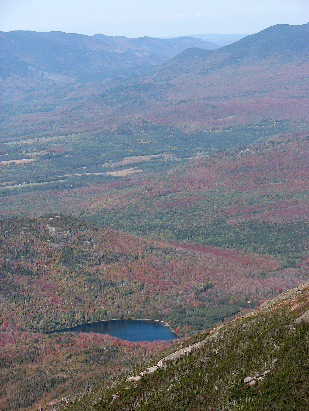
Reaching the prime of autumn, the scenery was painted in rich colours of yellow, orange and red. The temperature was well above normal, and we were soon sweating despite wearing T-shirts and pants.
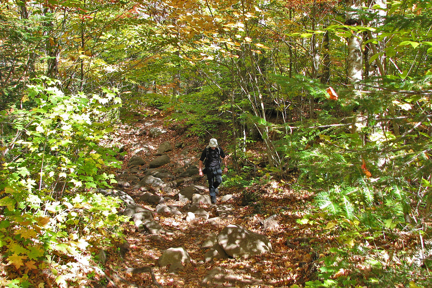
After hiking a short way up the trail, we turned onto the trail that leads to Algonquin Peak. The trail narrowed and became increasingly steeper and rockier. Small rocks on the trail gave way to large boulders and then to slabs cut into the forest floor. On some of the steep sections, we scrambled up the rock, all of it easy.
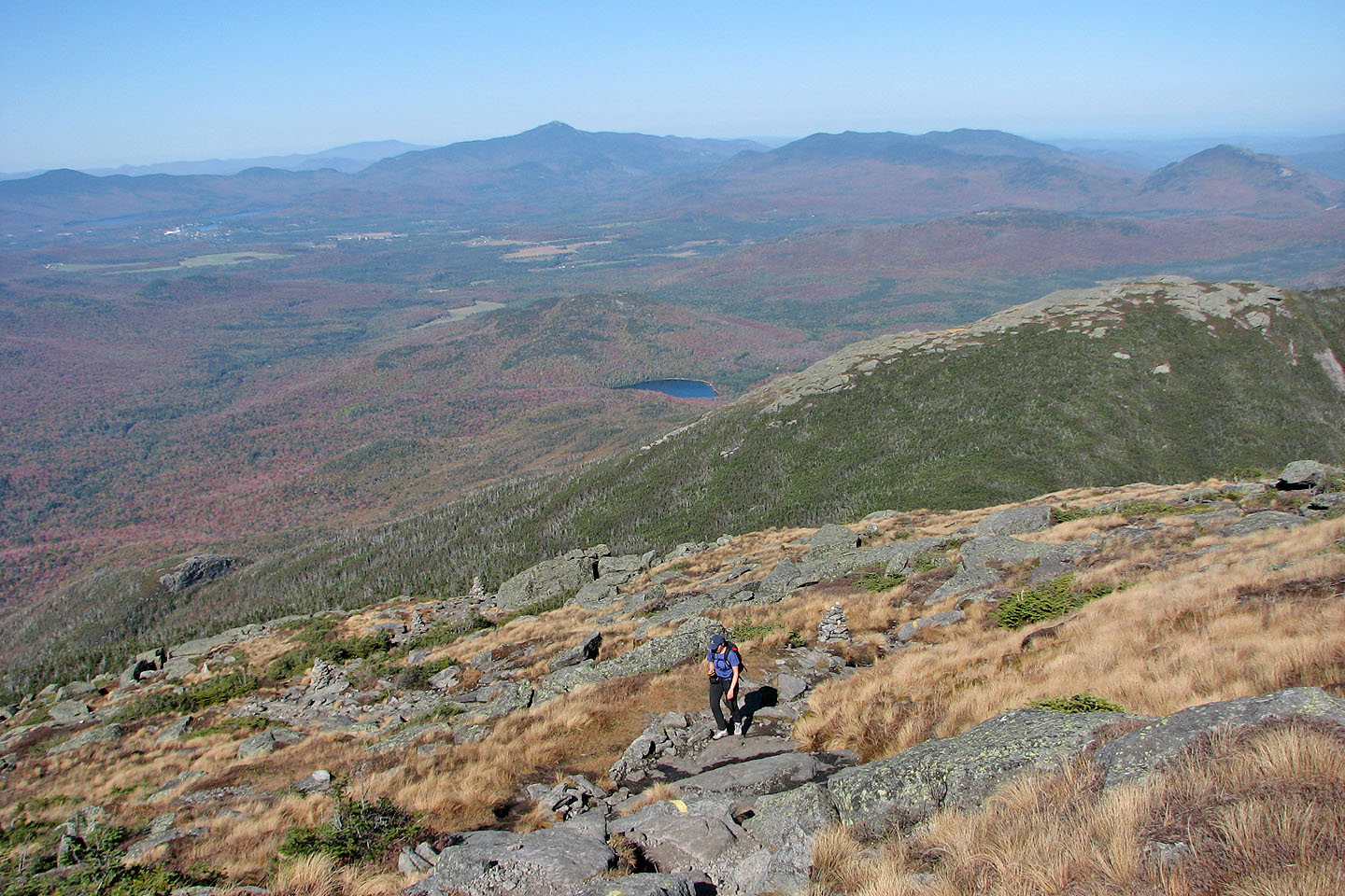
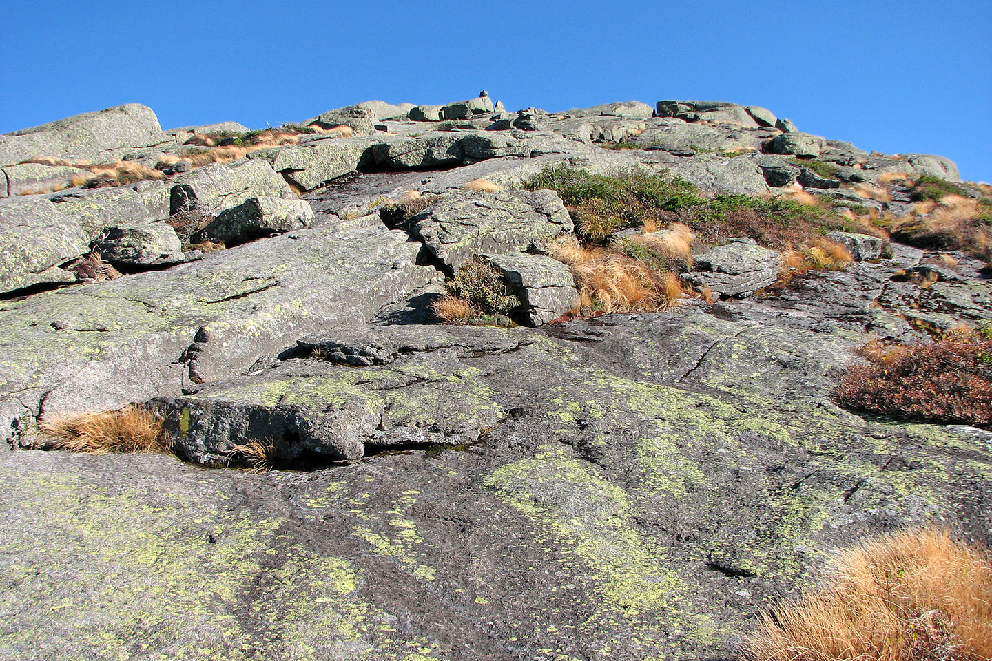
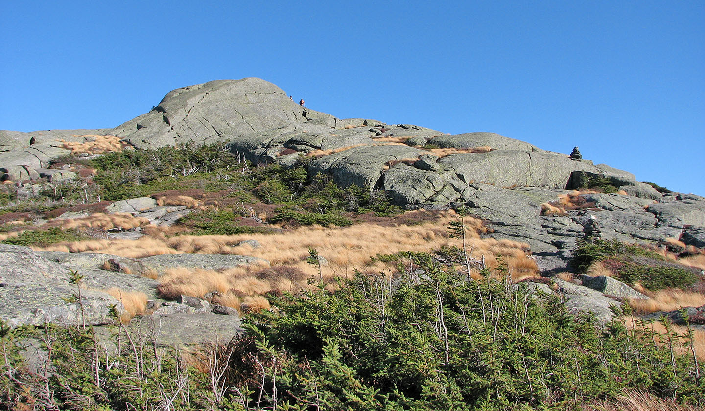
We passed the junction where a side trail led to Wright Peak and continued to Algonquin Peak. Above the treeline, we hiked up slabs; here the trail was marked by huge cairns and yellow paint. We reached the summit in 2 hours and 20 minutes after starting.
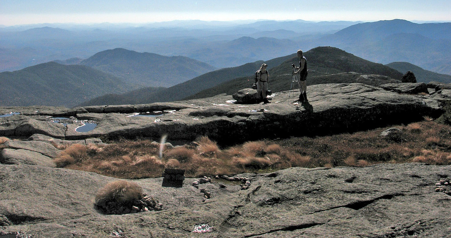
On the top, we were greeted by a steward who warned hikers to stay on the rock to avoid disturbing the vegetation. The growing season, she explained, was only sixty days, and the flora could be easily damaged, a concern with so many people visiting the summit. On the Columbus Day long weekend (Thanksgiving Day for us Canadians), as many as 800 people would ascend Algonquin Peak. Despite the cloudless skies, the views were hazy, and we could make out little of the distant peaks.
After a half-hour stay on the top, we started back down. When we reached the junction for Wright Peak, I opted to run up it while Dinah continued down to the trailhead. It took me only 15 minutes to climb the 158 m to the summit. At 1498 m, Wright is the 16th highest peak in the Adirondacks.
Being much lower than Algonquin Peak, Wright Peak had little to offer for views. Later I learned that it's the site of a plane crash, but I had seen no sign of it. After taking a few photos, I hurried down the trail to join Dinah who waited at the trailhead.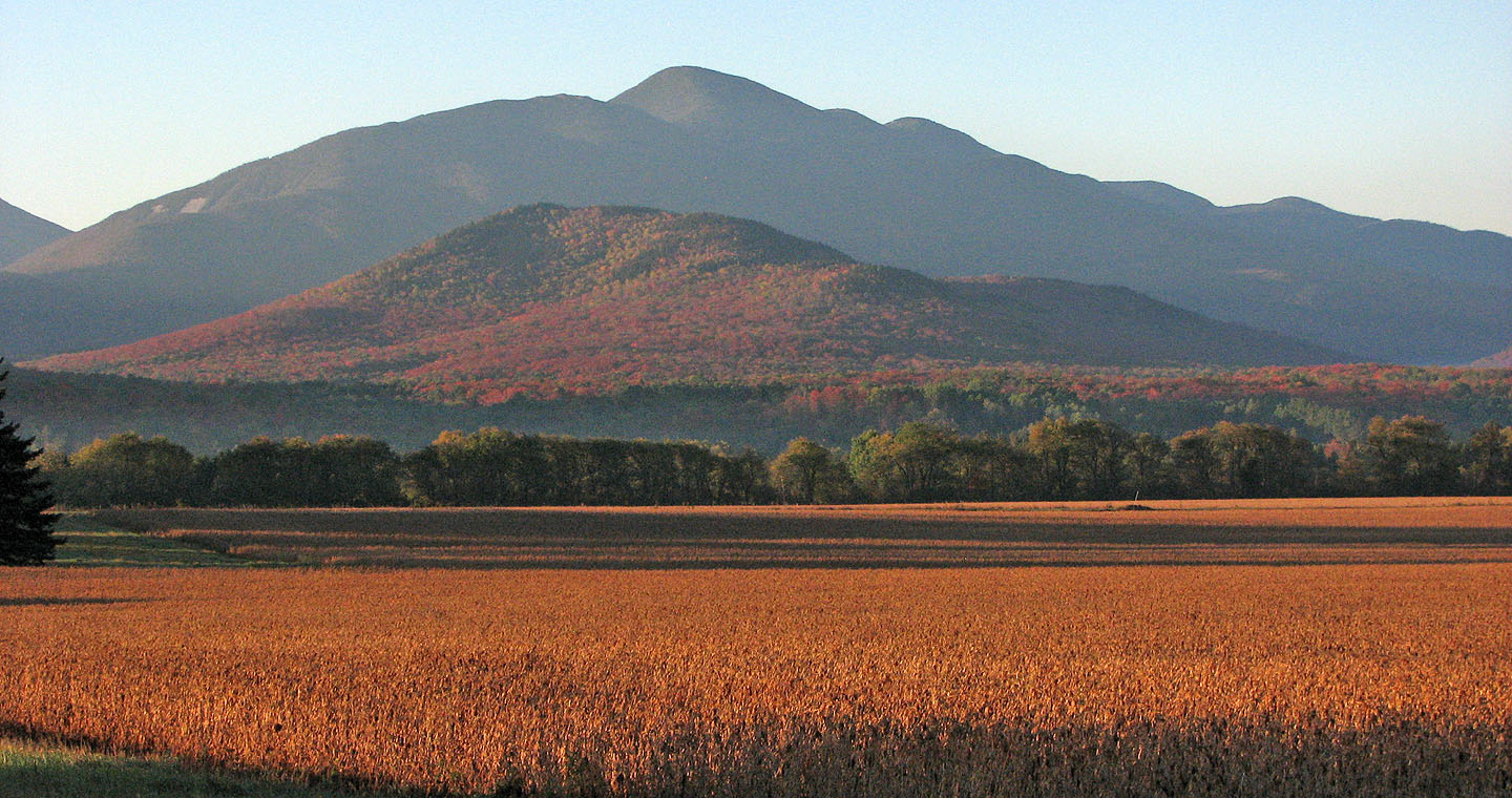
Algonquin Peak
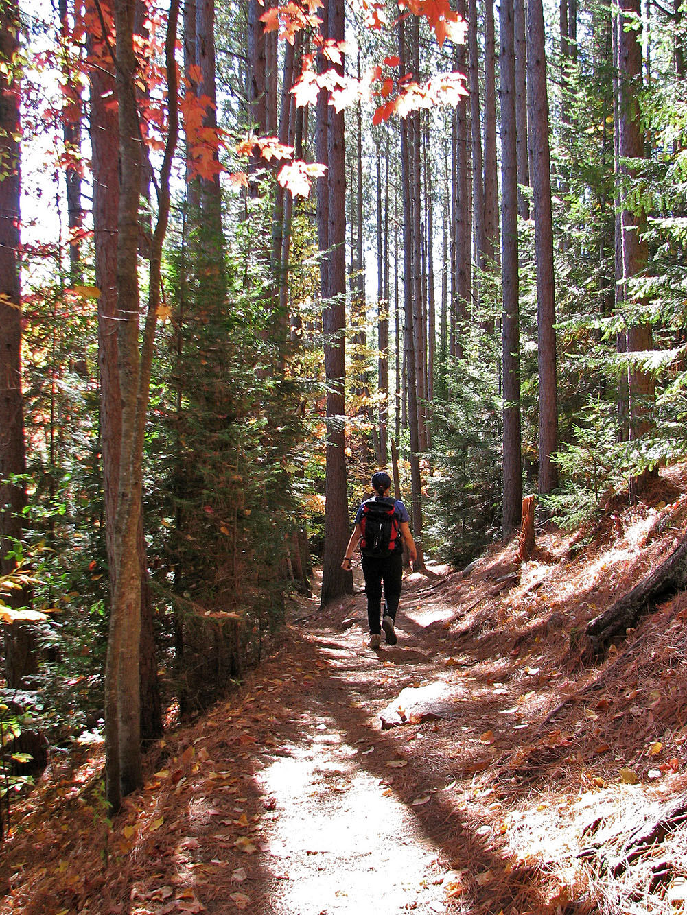
On the Van Hoevenberg Trail
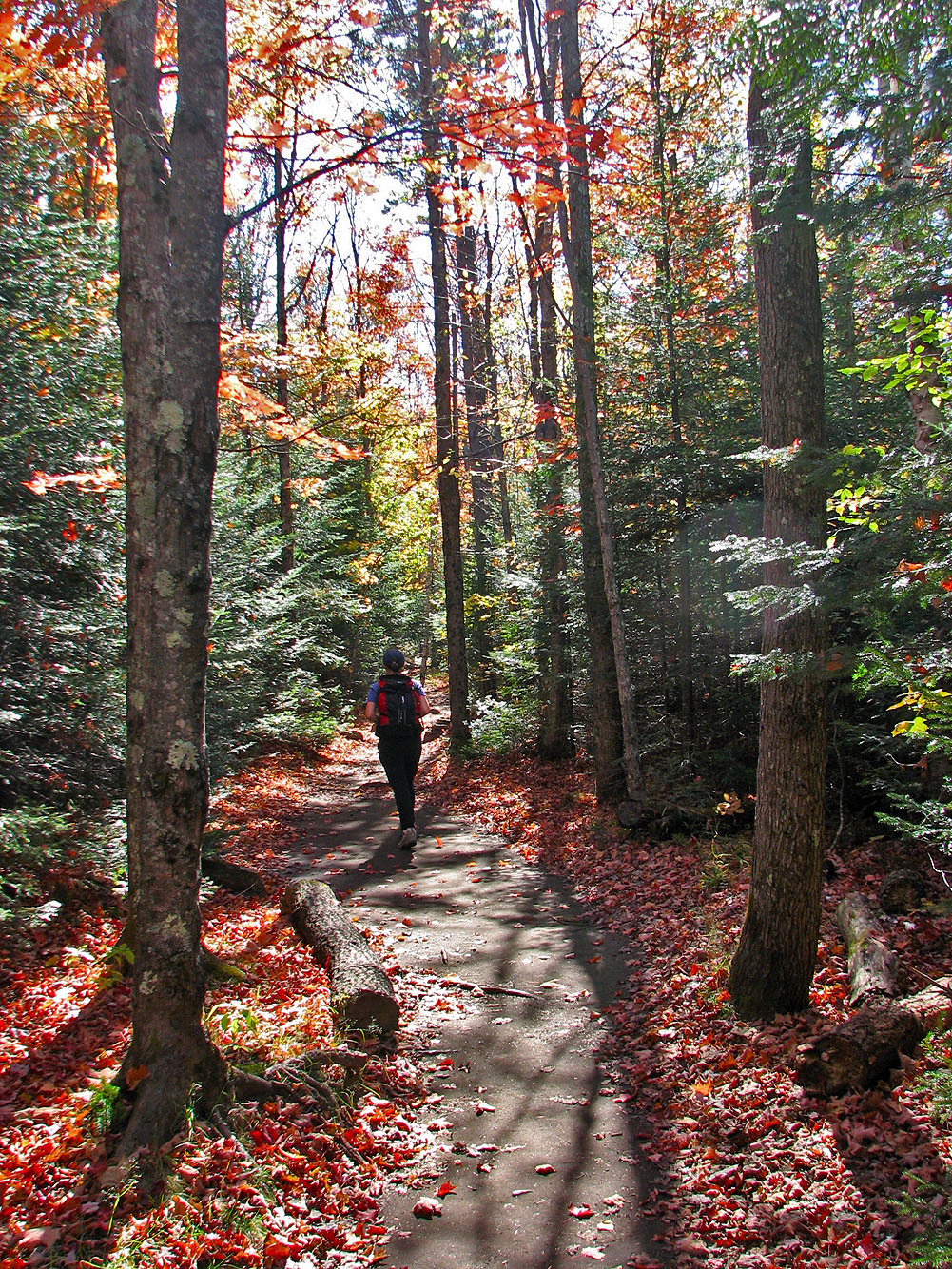
Pleasant forest scenery along the trail
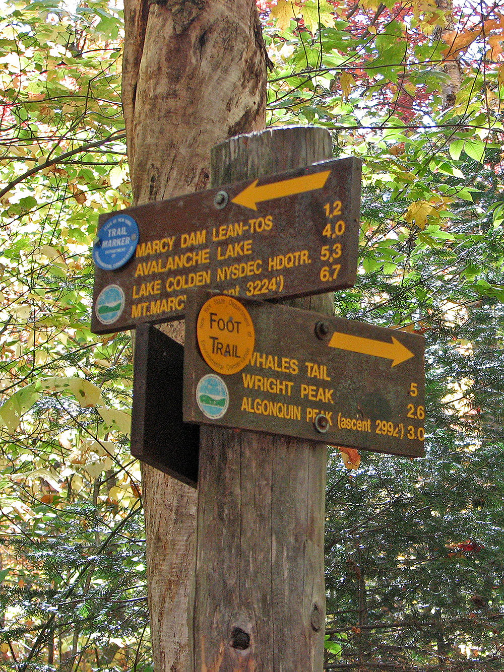
Signpost
Trail to Algonquin Peak is rocky
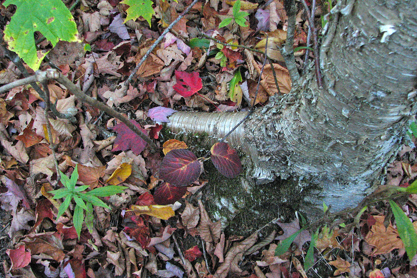
Tree bark shines like silver
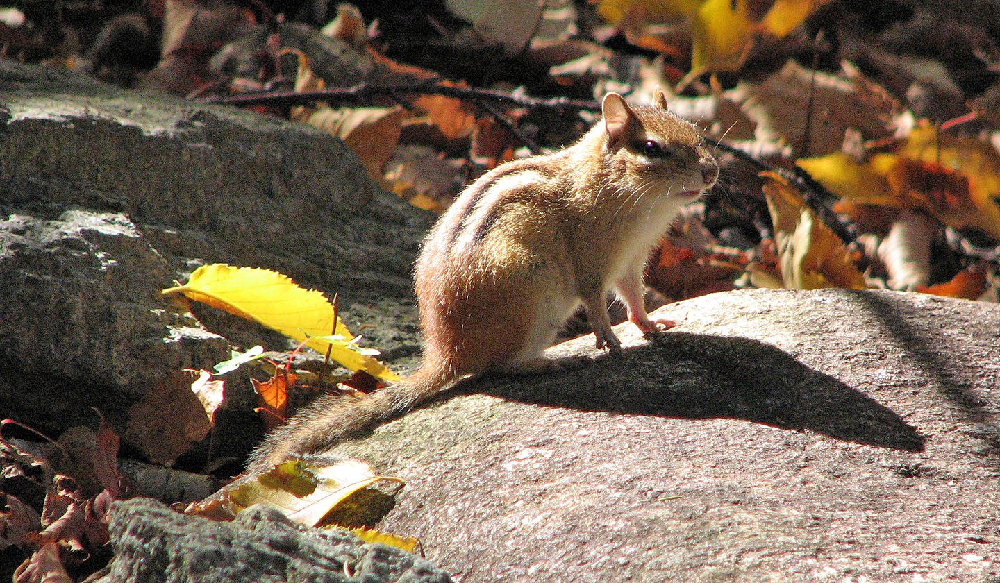
Eastern chipmunk
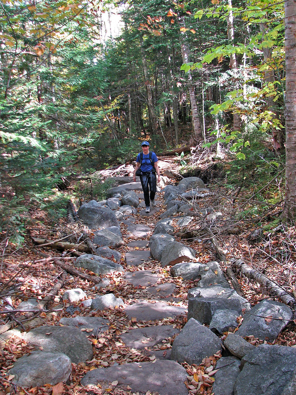
Stone steps are common
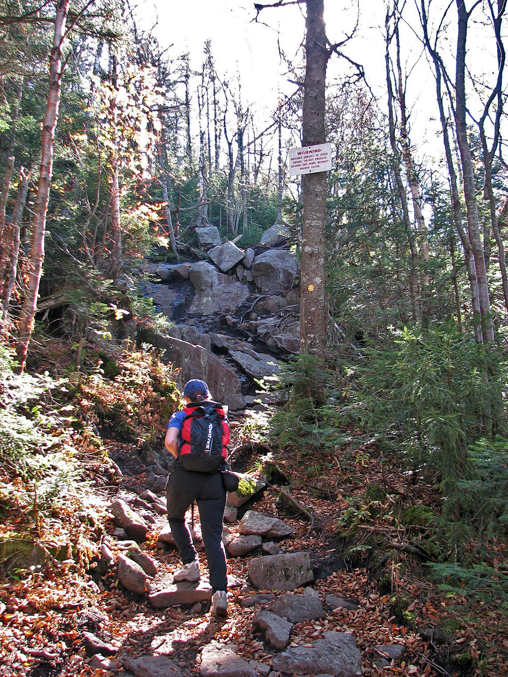
Sign warns hikers to be prepared for bad weather (mouse over)
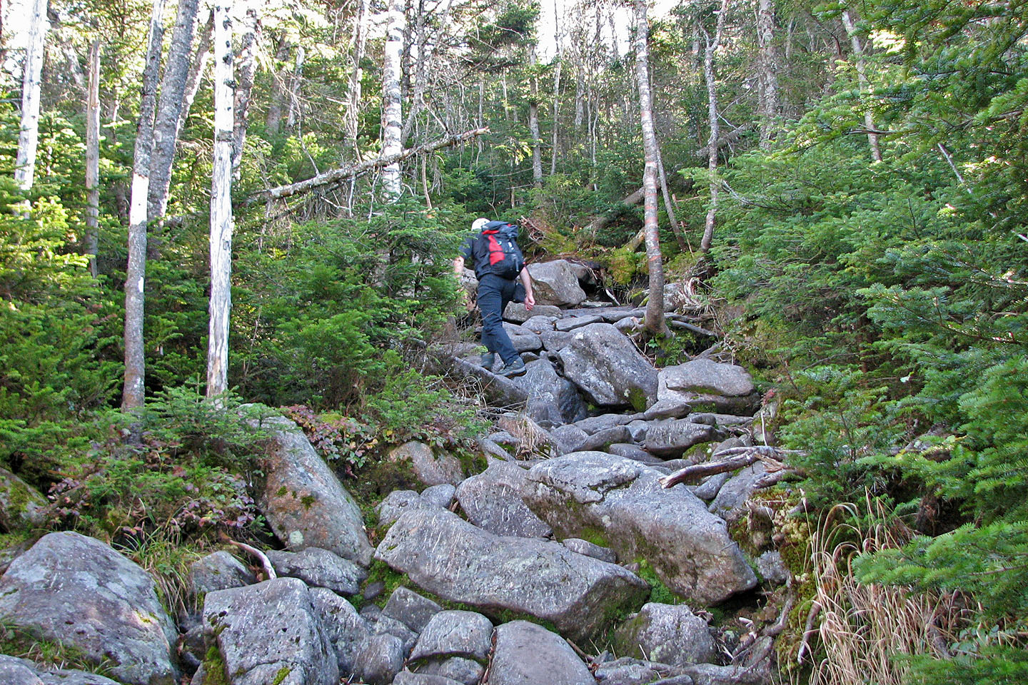
The rocks on the trail become larger as we ascended
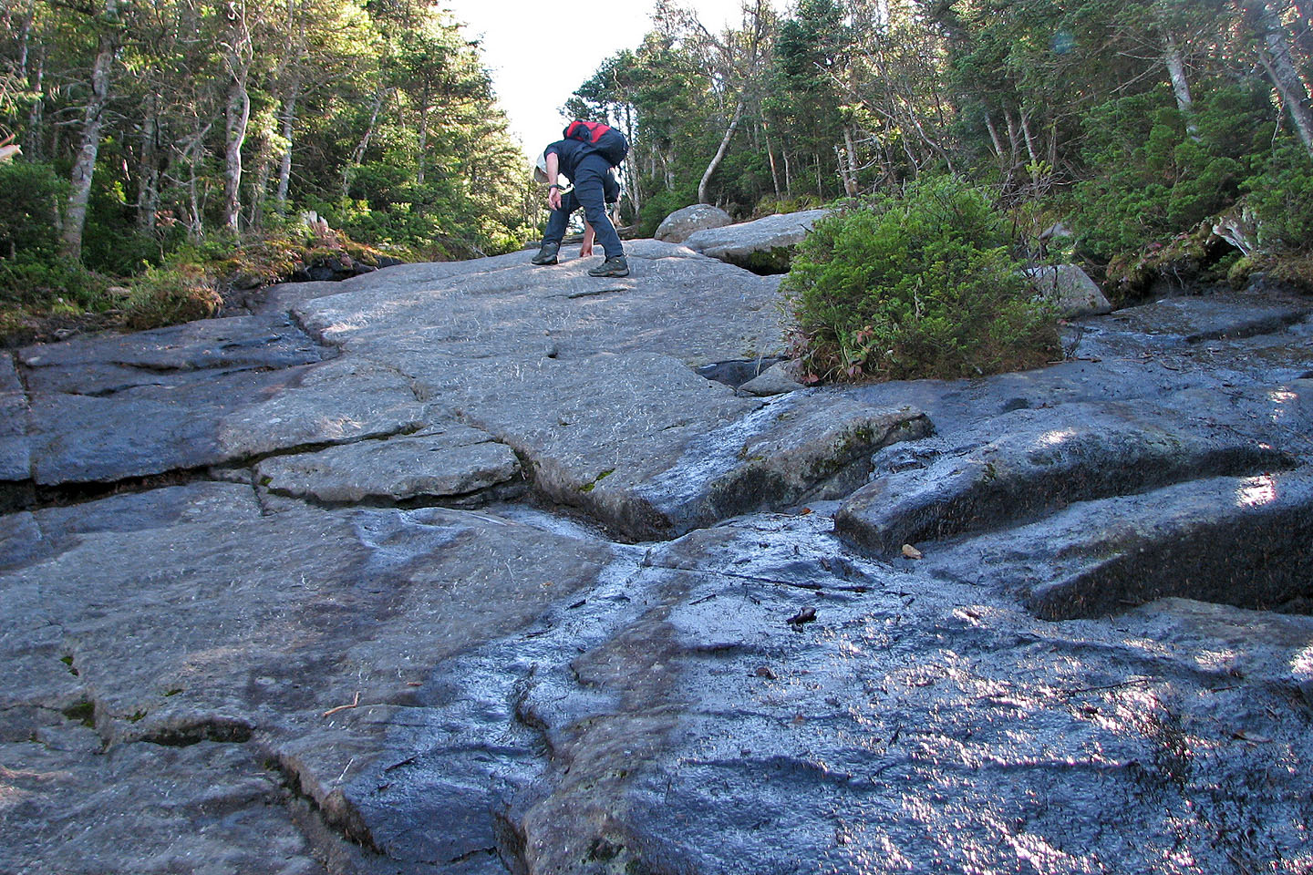
The trail turns to slabs
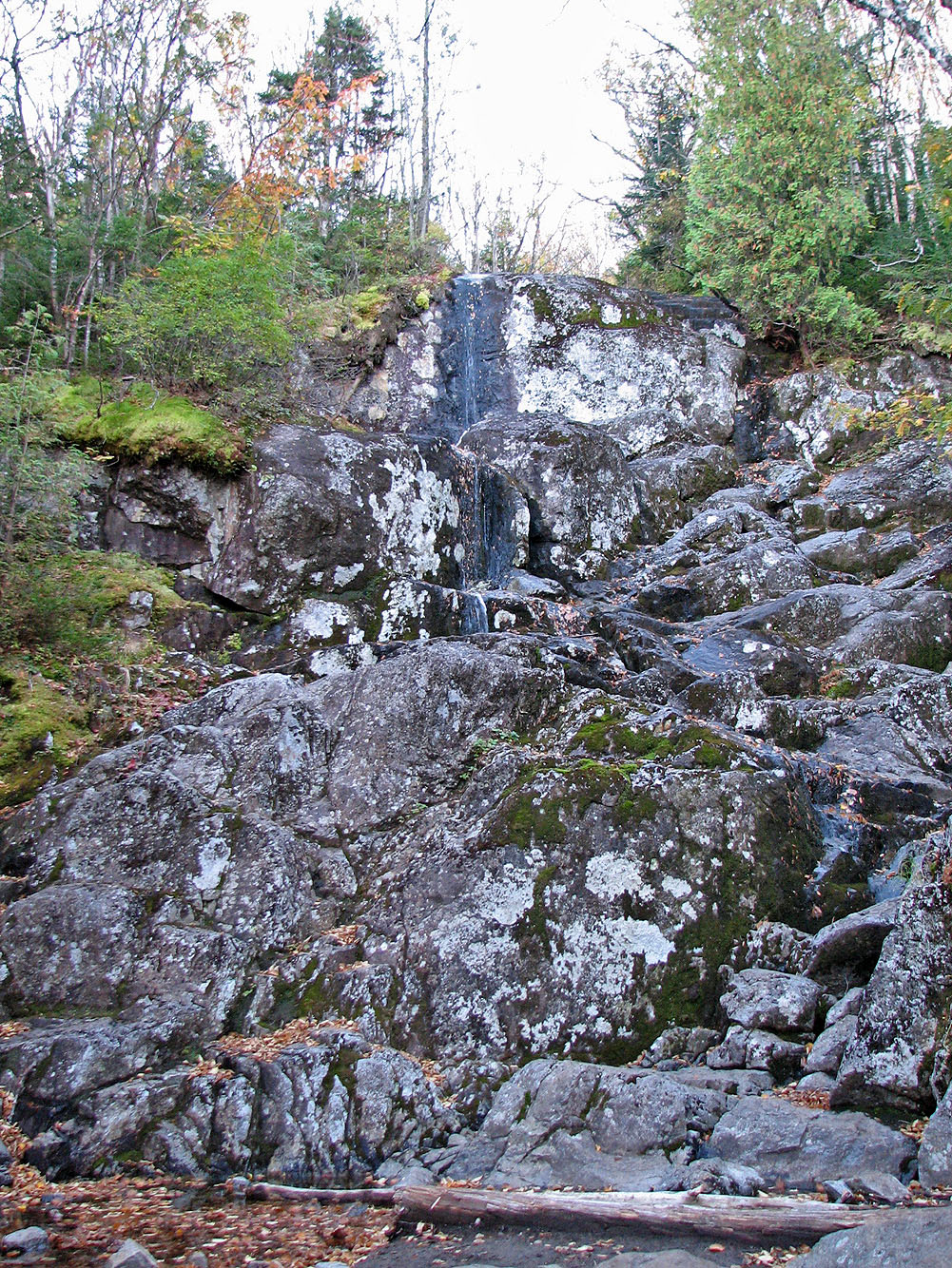
We passed a waterfall that appeared anemic this time of the year
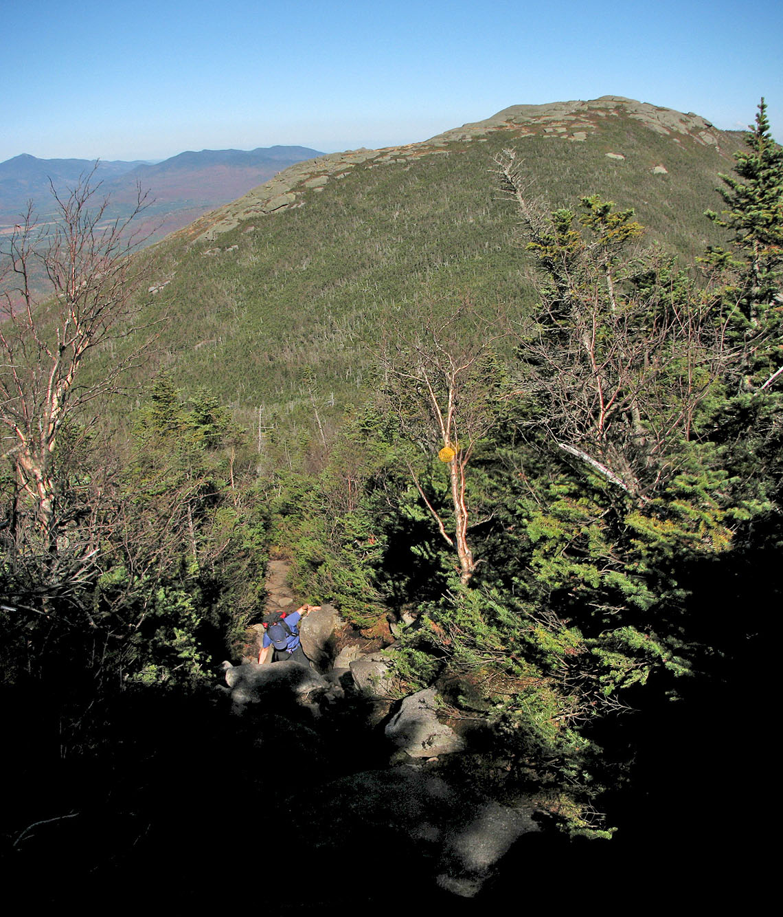
Dinah scrambles up the trail. Wright Peak in the background.
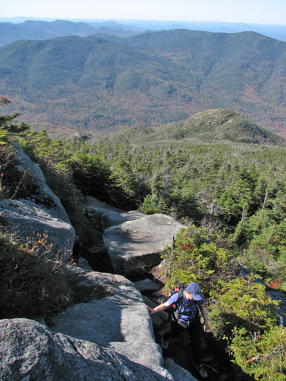
Dinah looks for a way up rocks
Whiteface Mountain on the left
We started from Heart Lake
Almost at the summit
Mount Marcy on the left (mouse over) and Mount Colden in the foreground
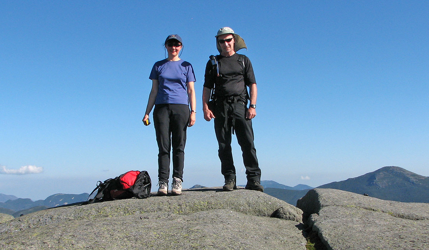
On the summit
A steward educates a hiker about the sensitive areas
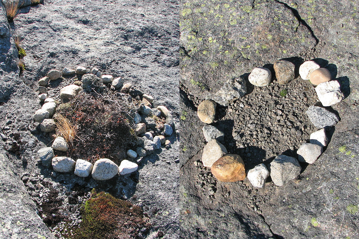
Stones encircle sensitive areas
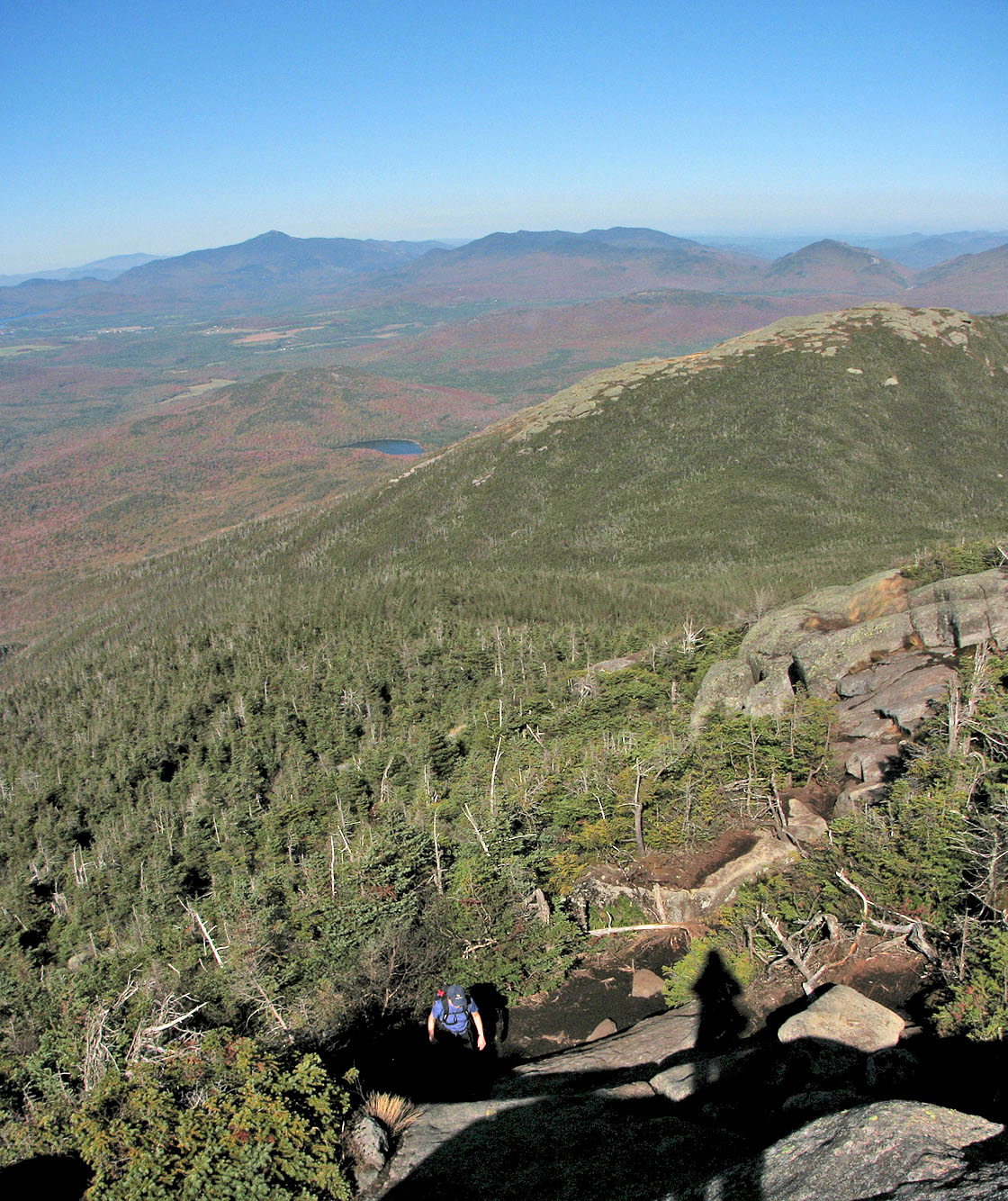
View ahead as I headed up to Wright Peak
Summit is just beyond this point
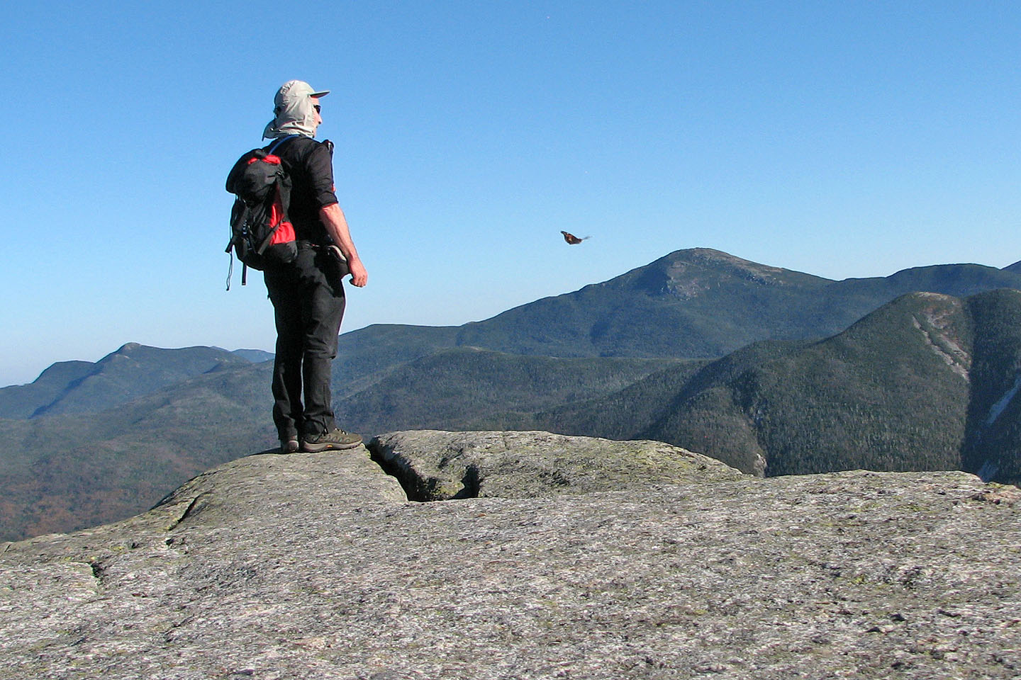
I shared the summit with a butterfly
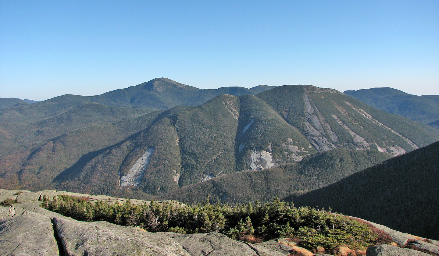
Mount Marcy and Mount Colden
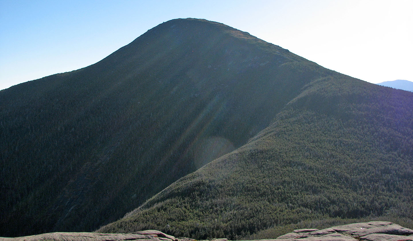
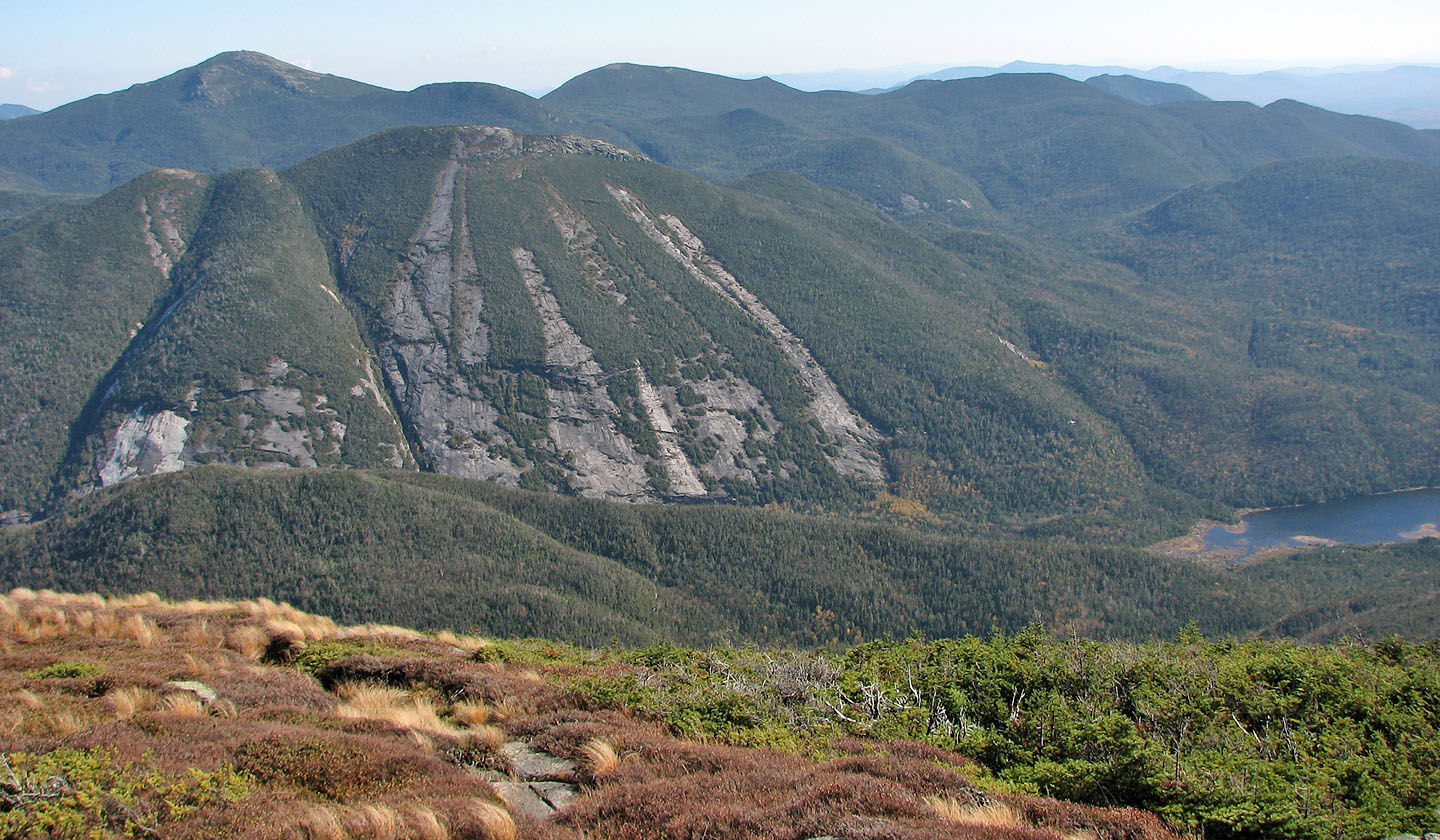
Algonquin Peak from Wright Peak
Kleene Valley (8.7 mi, 5115 ft, 2936 ft)