bobspirko.ca | Home | Canada Trips | US Trips | Hiking | Snowshoeing | MAP | About
Yucca Peak
aka Lost Yucca Peak
Desert National Wildlife Refuge, Nevada
April 20, 2015
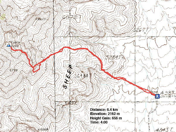
Distance: 6.4 km (4.0 mi)
Cumulative Elevation Gain: 660 m (2165 ft)
Yucca Peak isn't particularly interesting, being neither high nor technical, but it sits in an area known for debris from aircraft crashes. This was of particular interest to Shin since he studies plane crashes in Southern Nevada. And on this trip, we would discover a crash site.
To reach the summit, Shin and I used Jim Boone's route. We ascended the east ridge to where it intersects the summit ridge at a buttress. After going around the buttress, we followed the summit ridge to the south summit. A short traverse on a narrow ridge (nothing scary) brought us to the north summit and highest point. On our way to the south summit, however, we caught sight of a shiny object on our left, well down the slope. Shin suggested taking a closer look after we summited Yucca Peak.
After eating lunch and signing the register, we started back. Shin was eager to visit the site. It didn't look like much, certainly too small to be a plane, so I declined. Shin made his way down to the debris while I headed back to the buttress to wait for him.
After visiting the site, Shin returned to the buttress with his assessment. It wasn't a plane or even part of a plane. Rather it was a 1960's era dart aerial gunnery target. Shaped like a paper airplane, the small device was pilotless and engineless. It was towed behind another airplane on 1,500 to 2,000 feet of cable for aerial machine gun practice.
Nowadays, there is no risk of being hit by 50-calibre bullets or falling debris here. Aerial target practice has long since ceased and that leaves Yucca Peak as a pleasant and peaceful hike.
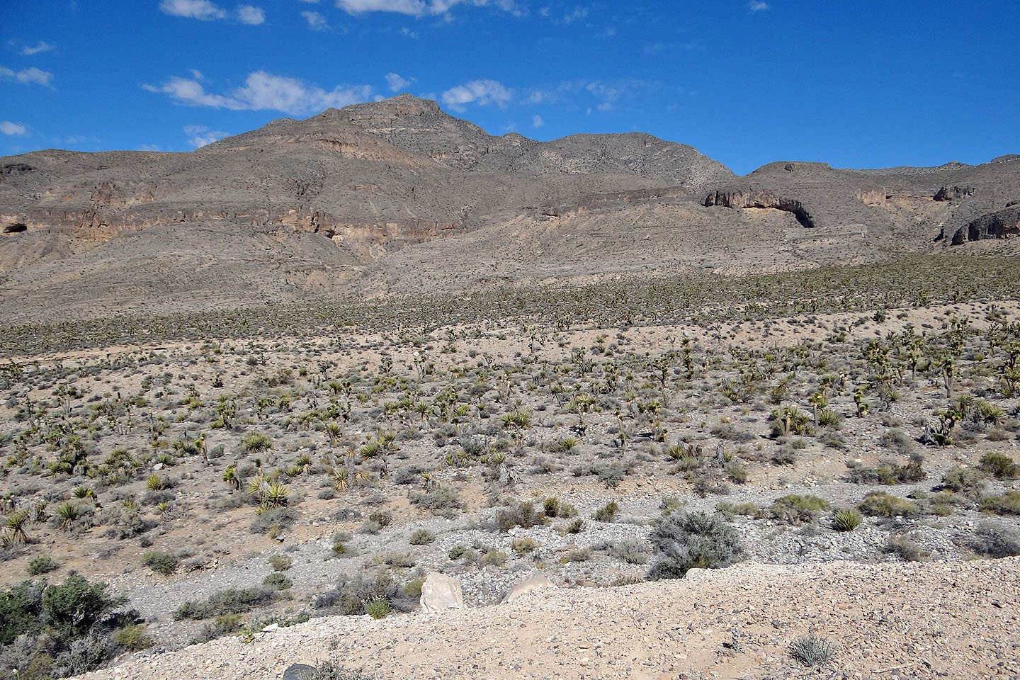
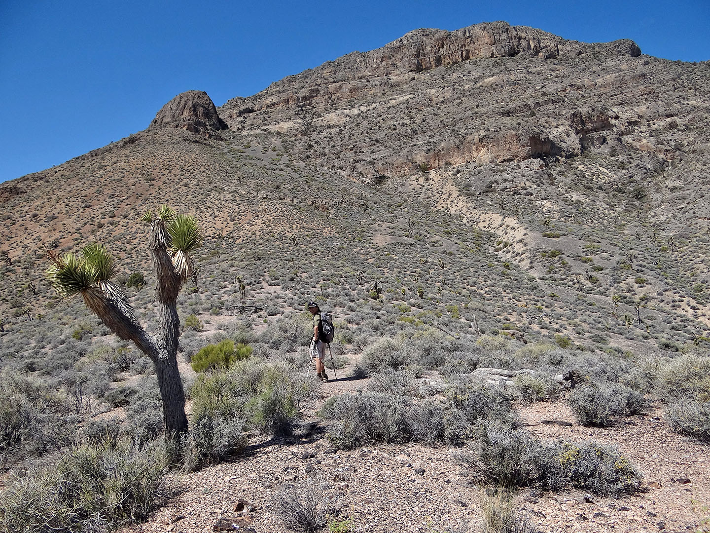
Yucca Peak from the trailhead
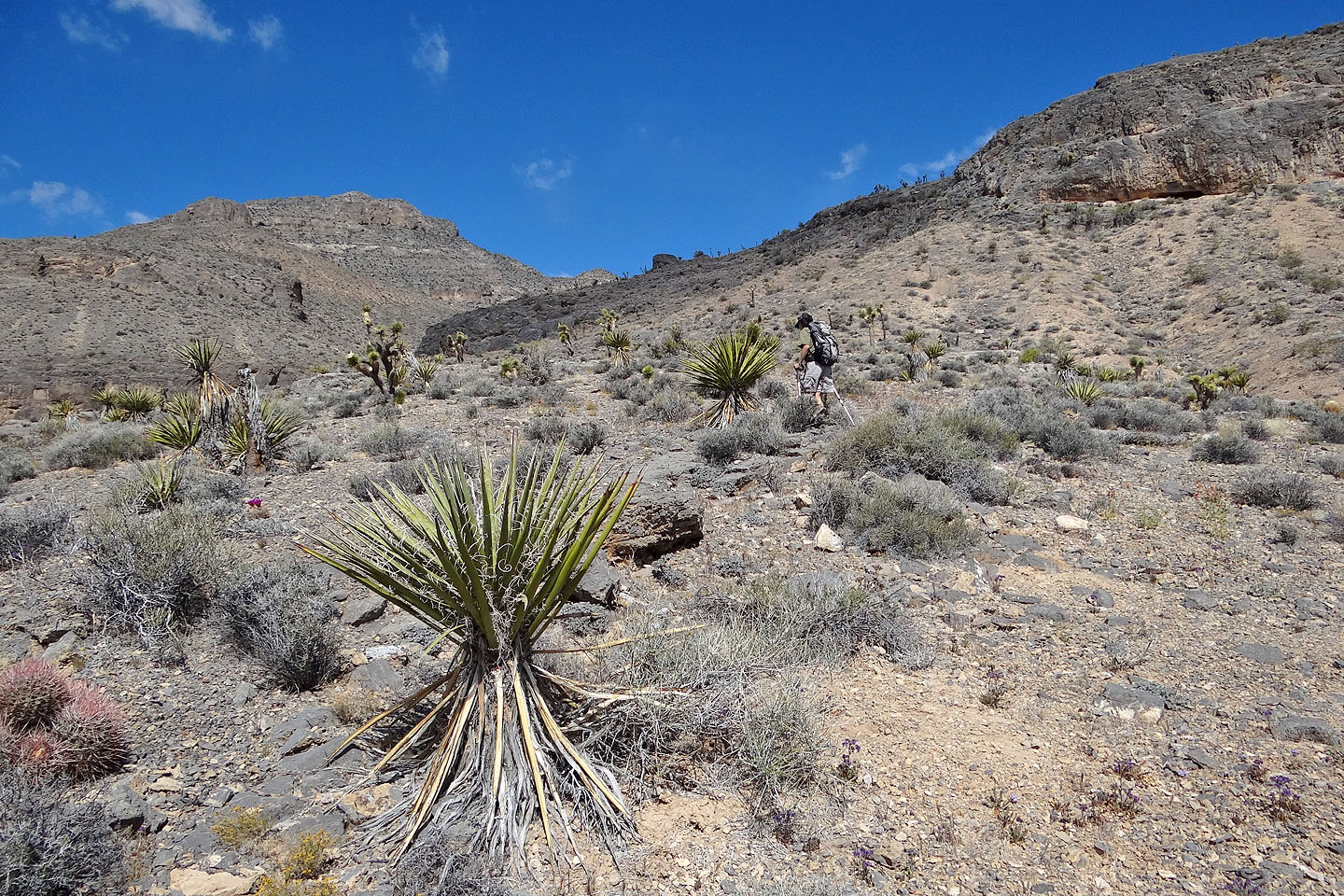
After crossing the desert flats we climbed to the ridgeline above Shin. In the foreground is the
peak's namesake:
a yucca.
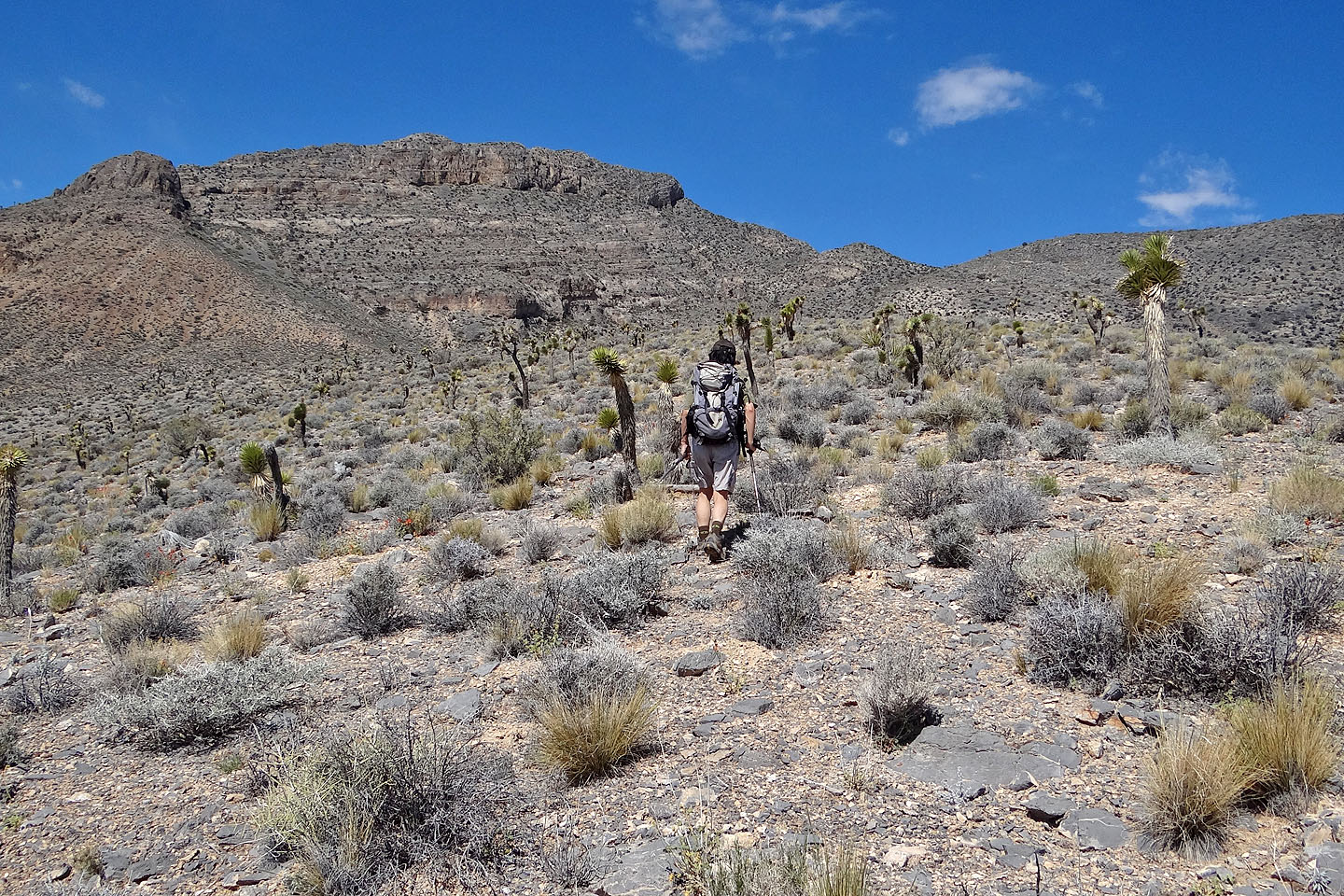
We followed the ridgeline to the buttress on the left and then onto the summit ridge
Joshua trees far outnumber yuccas on Yucca Peak
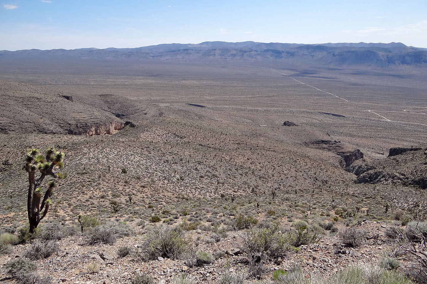
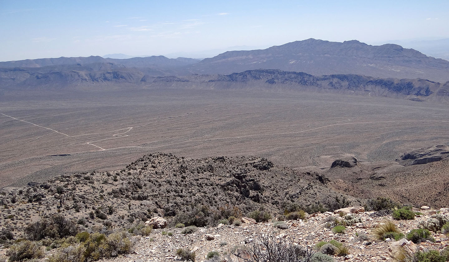
Looking back along the broad ridge we ascended. The trailhead is just out of sight, on the right.
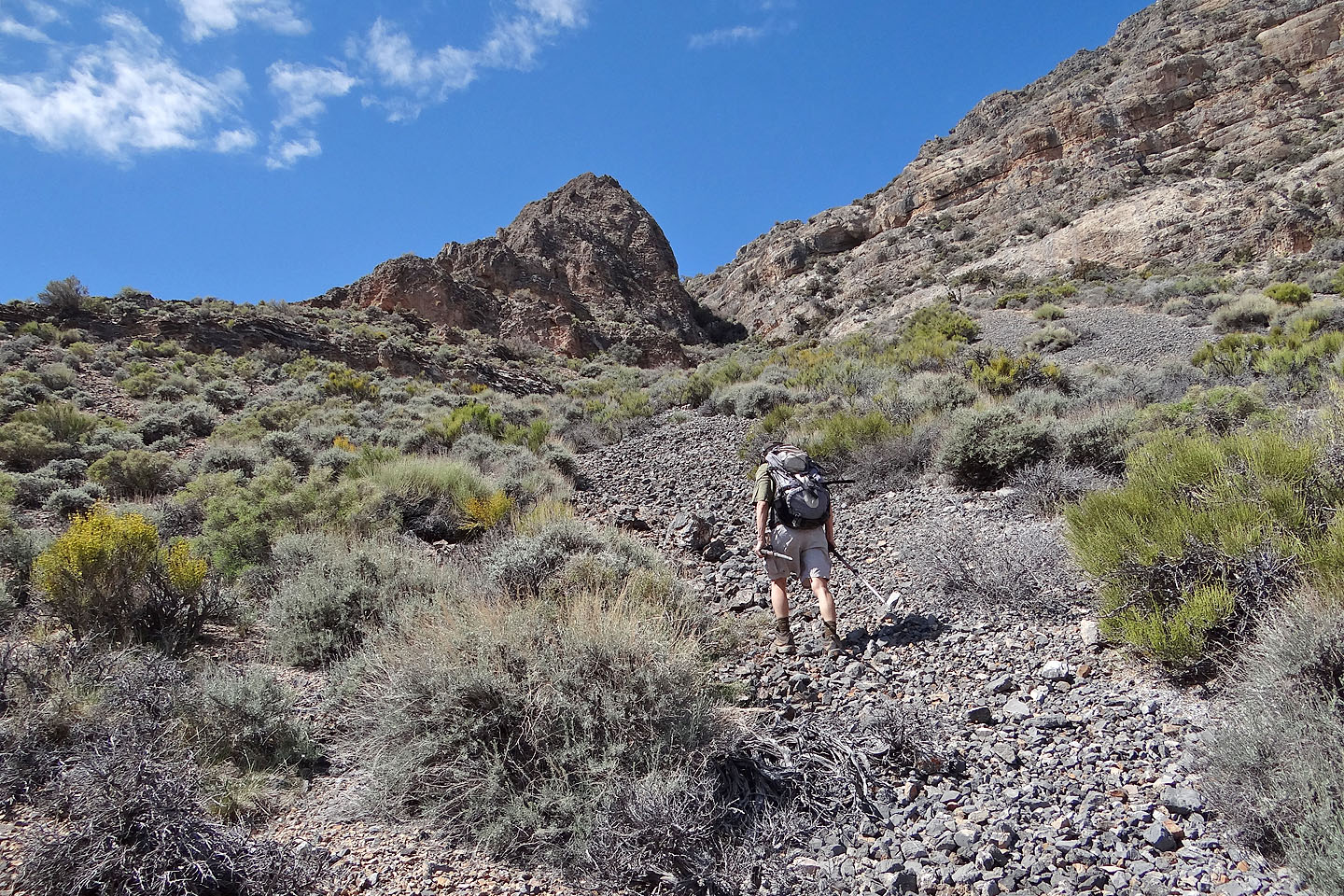
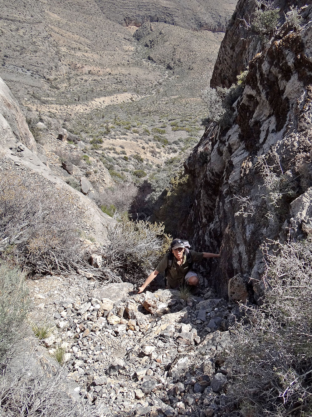
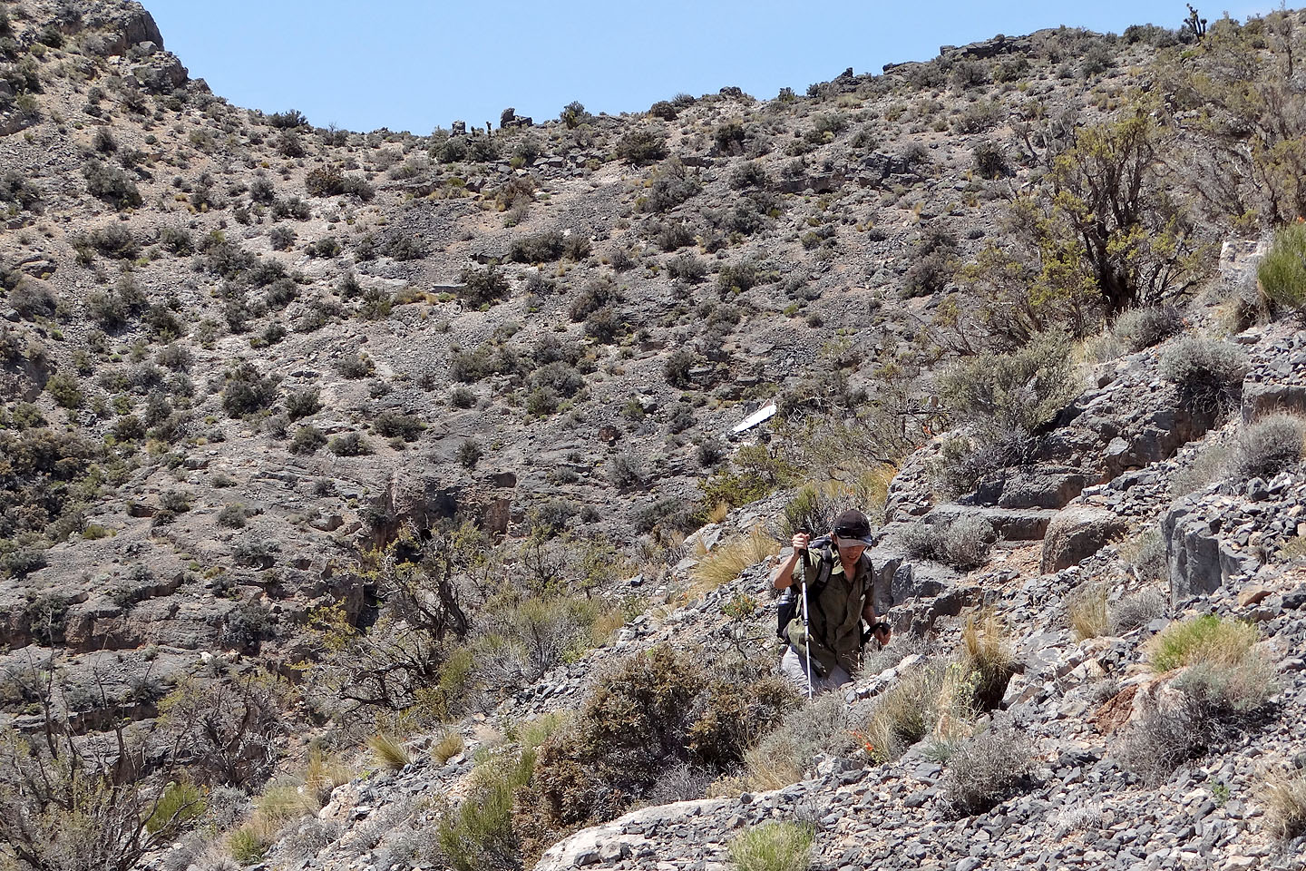
The buttress can be bypassed on either side. The right side is short, steep and bushy while
the left side is easier but much longer. We ascended the gully on the right but came down on
the left side.
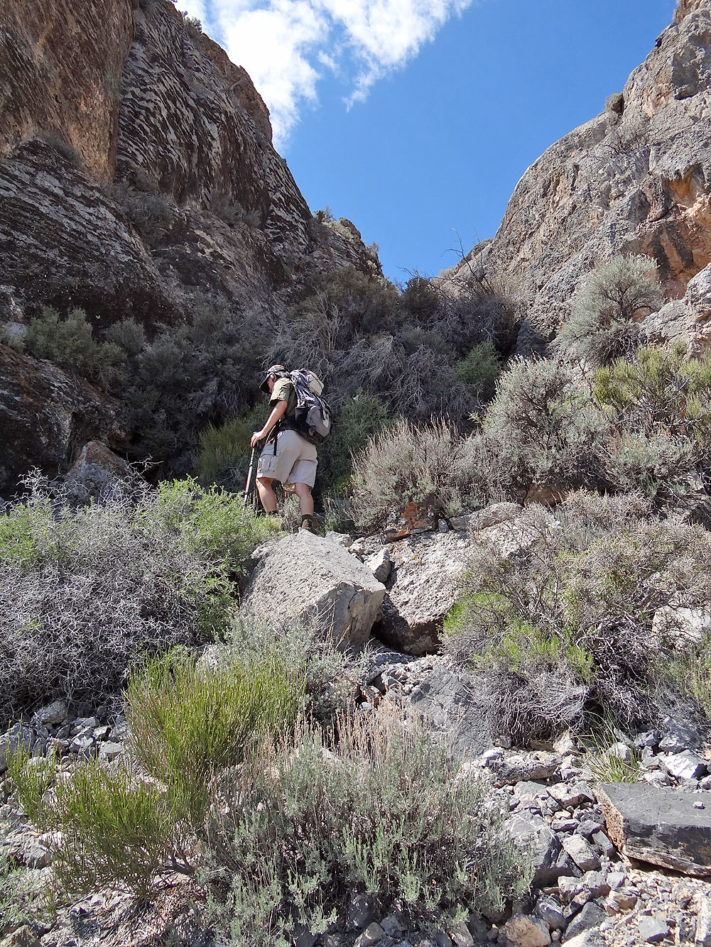
The gully was quick but bush and steep rock made it awkward
At the top of the gully
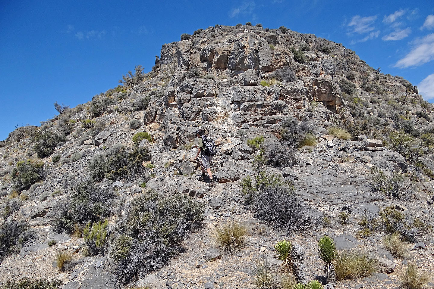
On the ridge after the buttress
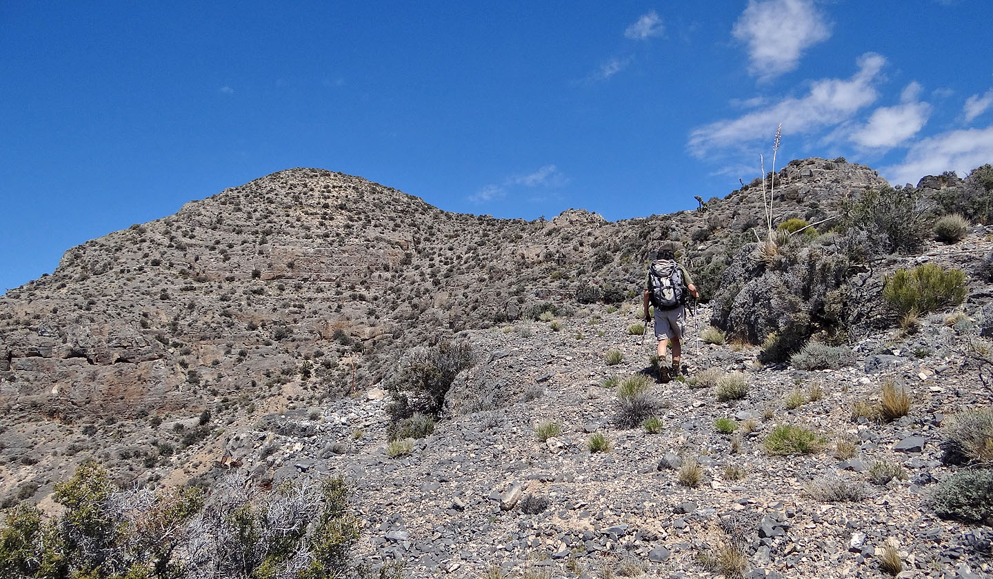
The south summit soon came into view
Below the south summit lies debris from the target (silver bit in the centre, mouse over for a close-up)
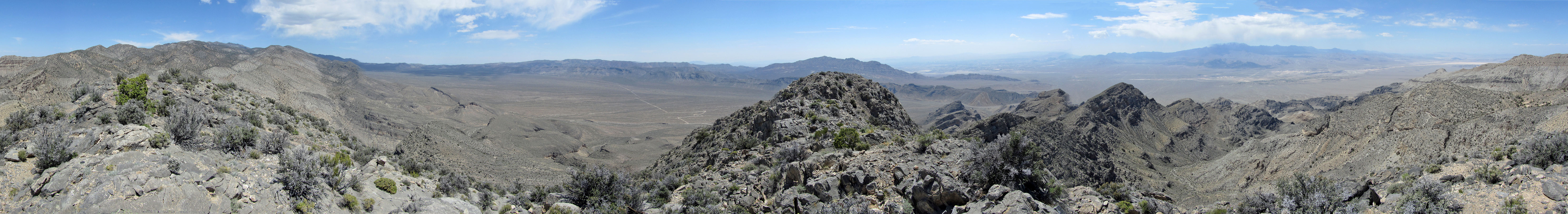
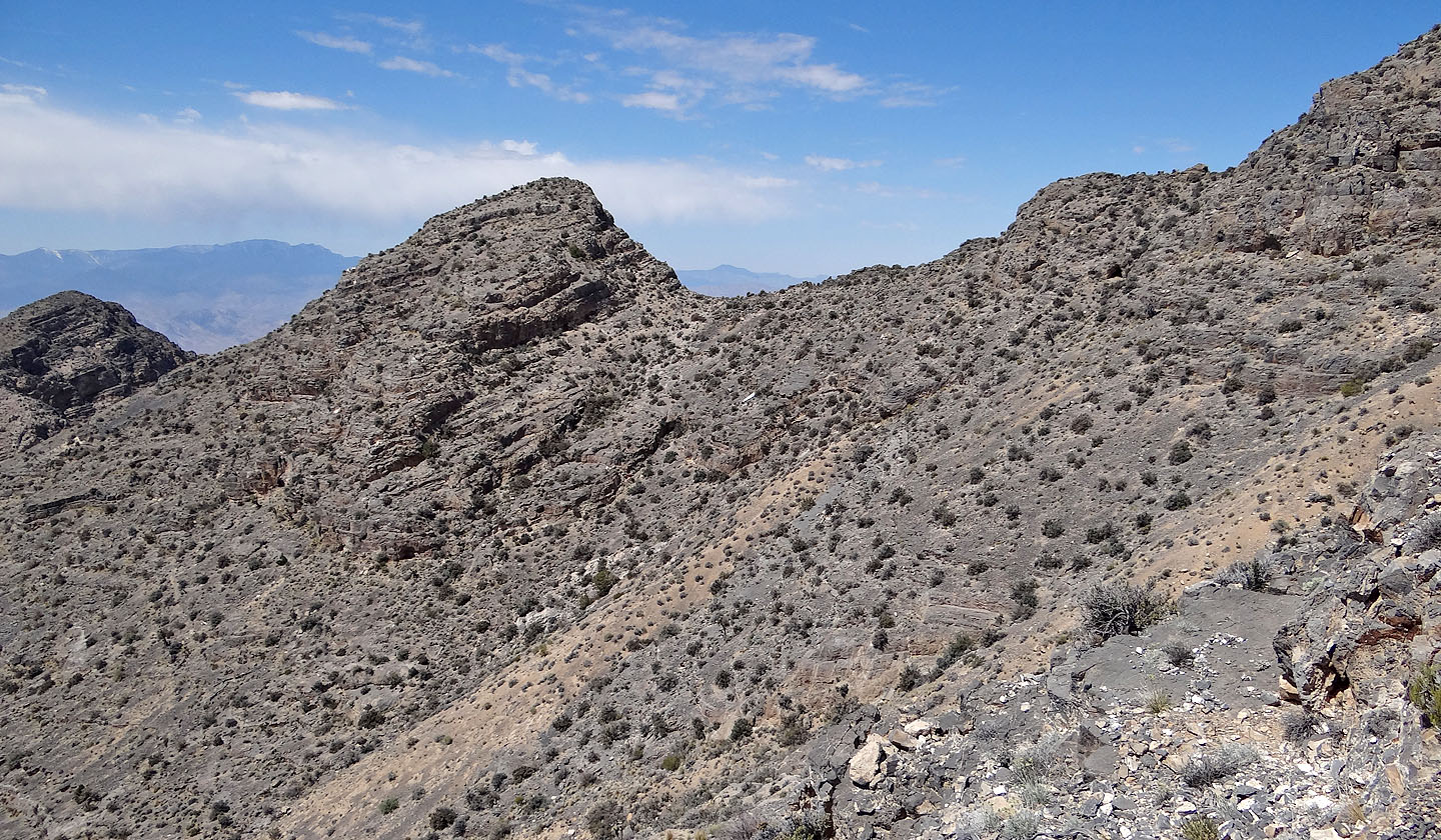
Looking back at the ridge we climbed. On the right, we could make out the towers on Gass Peak (mouse over).
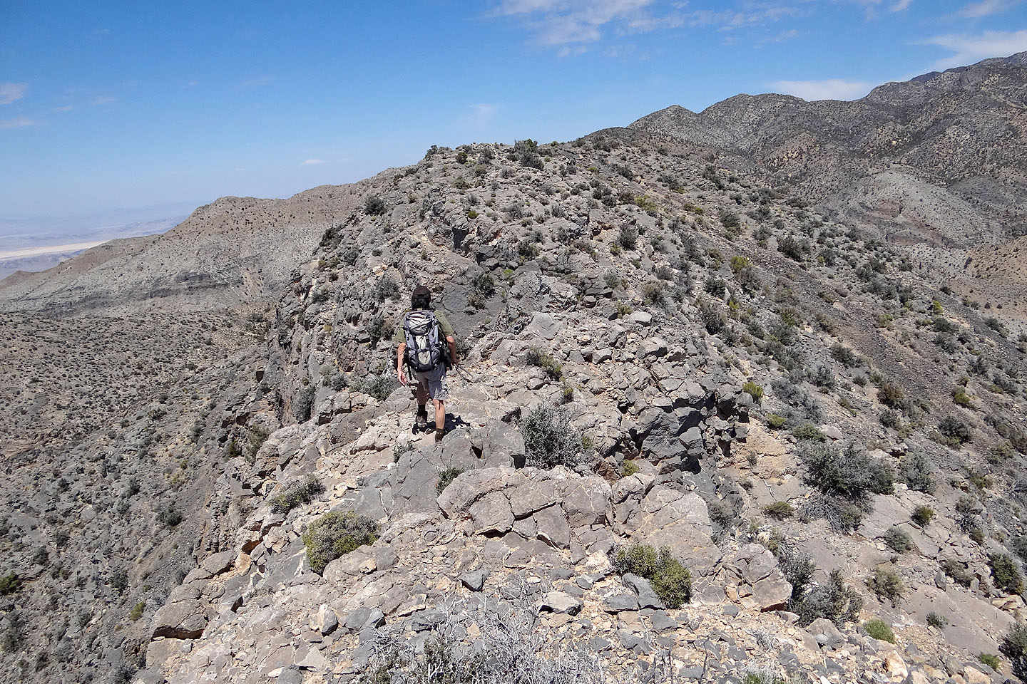
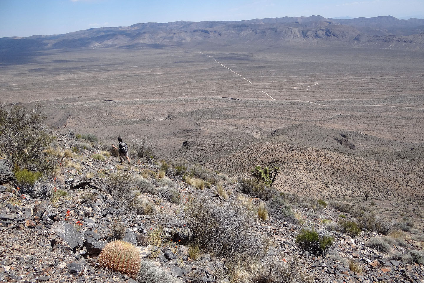
From the south summit Shin starts traversing to the north summit
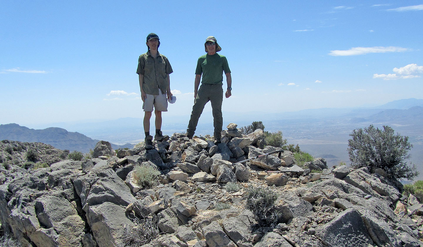
On the summit of Yucca
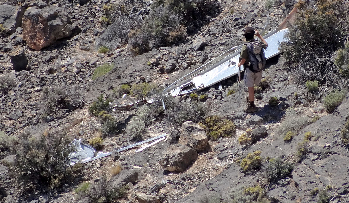
Shin inspects the remains of a dart aerial gunnery target
Shins heads back to join me at the buttress
On the descent we took the circuitous route around the east side of the buttress
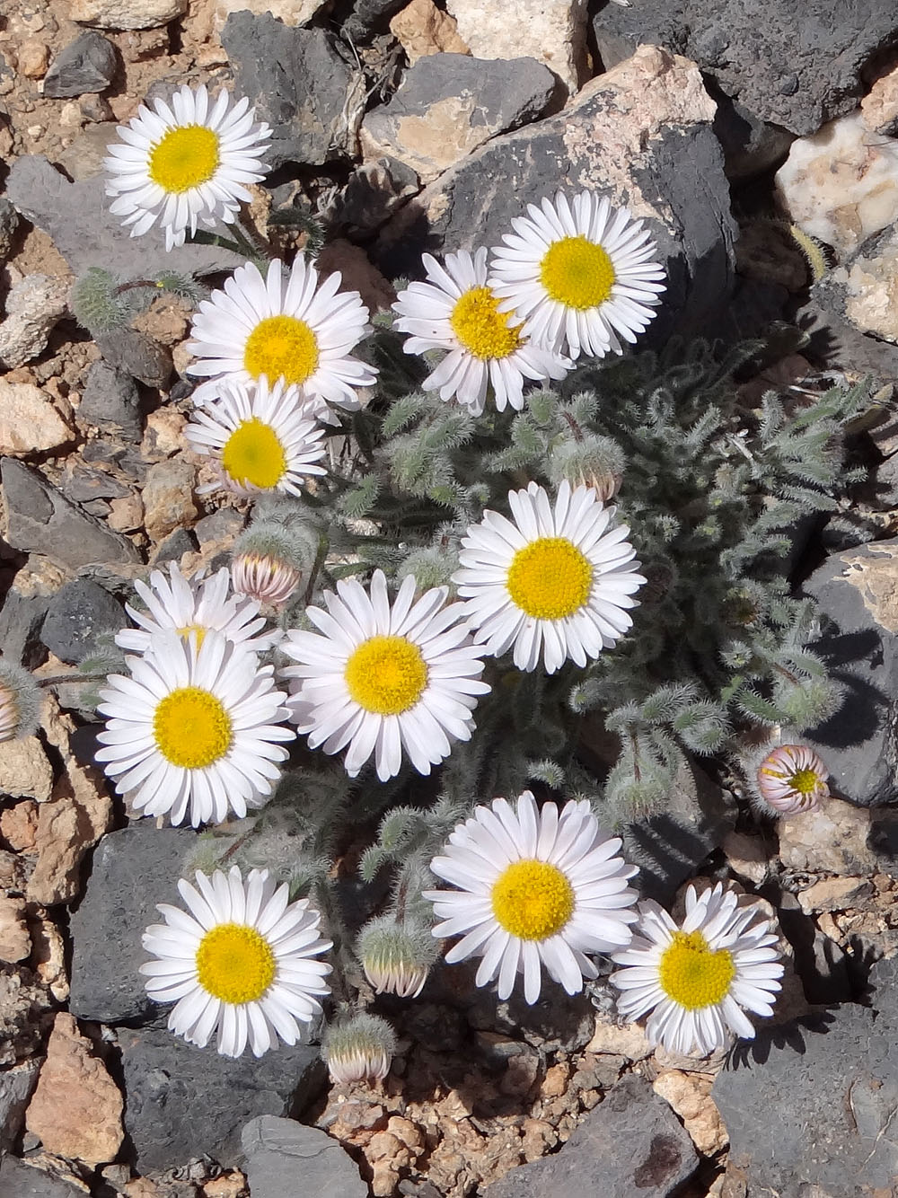
Daisy
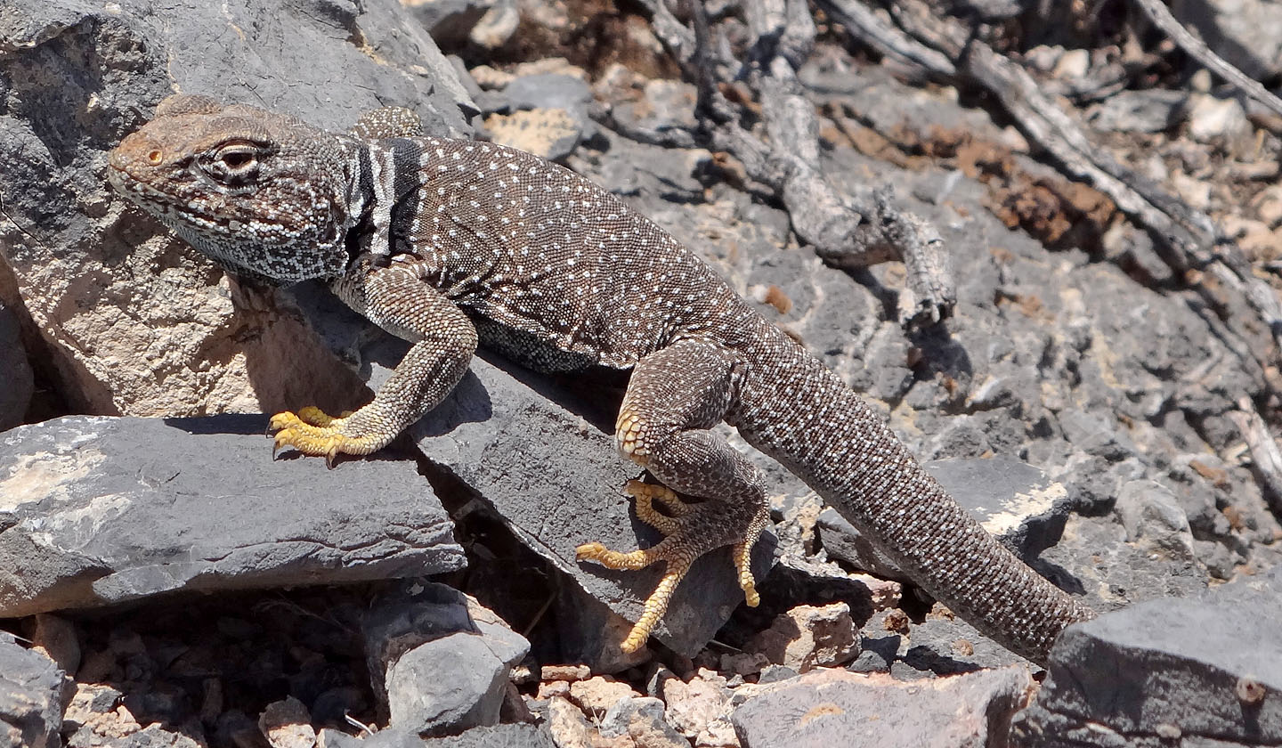
Great basin collared lizard
Corn Creek Spring and Gass Peak (4.0 mi, 7149 ft, 2152 ft)