bobspirko.ca | Home | Canada Trips | US Trips | Hiking | Snowshoeing | MAP | About
Shenandoah Peak
Spring Mountains, Nevada
April 11, 2012
Distance: 5.8 km (3.6 mi)
Cumulative Elevation Gain: 428 m (1404 ft)
After doing fifty or so hikes around Las Vegas, Dinah and I finally encountered our first rainfall here. We thought we could avoid the bad weather expected that afternoon by doing a morning trip up Shenandoah Peak, but no such luck. Not only were we hit with light showers while coming down, but we were also surprised to see snow falling.
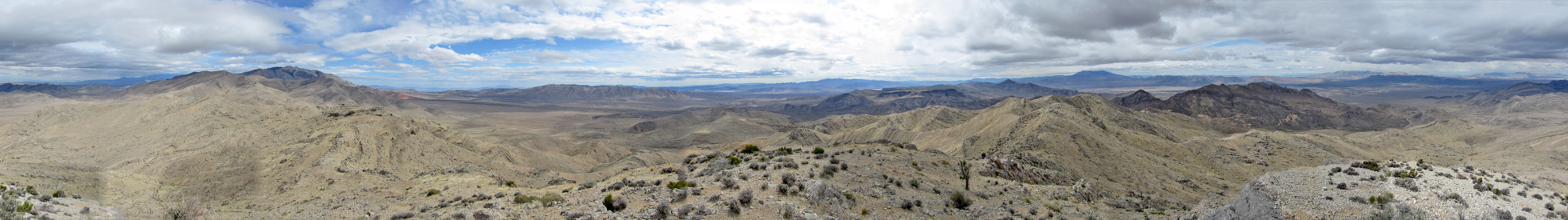
In truth, scant rain or snow fell. The extremely light precipitation wasn't a problem, but the unexpected cold was. We hadn't thought to bring gloves so our hands suffered from the 7°C temperature. Good thing it was a hands-in-your-pocket hike, for that's where we often kept them. And Shenandoah is only a short ridge walk. The mountain sits at the south end of the Springs Mountains, about a 45-minute drive from Las Vegas.
We started off in fair weather, a mix of sun and cloud, although the wind, forecasted for the afternoon, had already arrived. As we hiked to the summit, we tried to stay out of the wind, but there was little to block it on the open ridge.
We reached the top of Shenandoah in about an hour. It was too cold and windy to linger so we soon headed back. On the way, we watched the weather deteriorate. The surrounding peaks that were clear earlier, were now shrouded in clouds. And then it rained, just spitting really, but it soon turned to light snow. It stopped before we got back to the trailhead.
It was interesting to experience a bit of bad weather here. Like any mountain region, the weather here can turn suddenly unpleasant, although not as often as in the Canadian Rockies, our usual hiking haunts back home. When gambling on the weather, the odds are much better around Las Vegas.
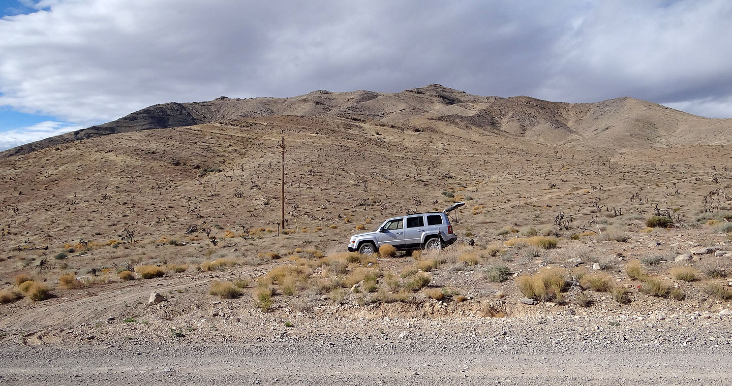
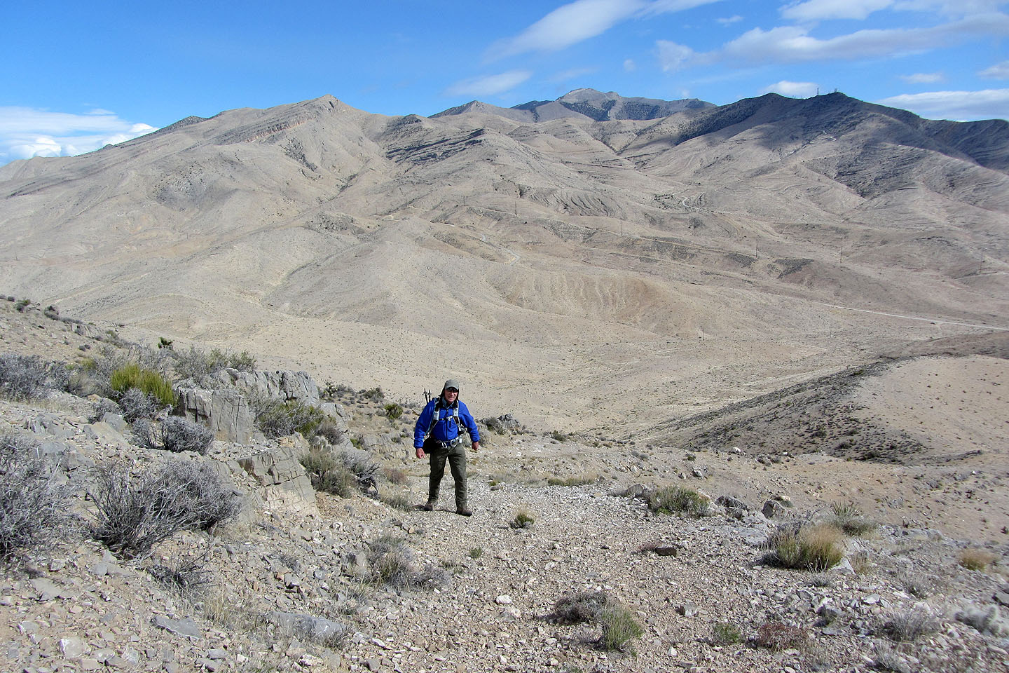
Trailhead
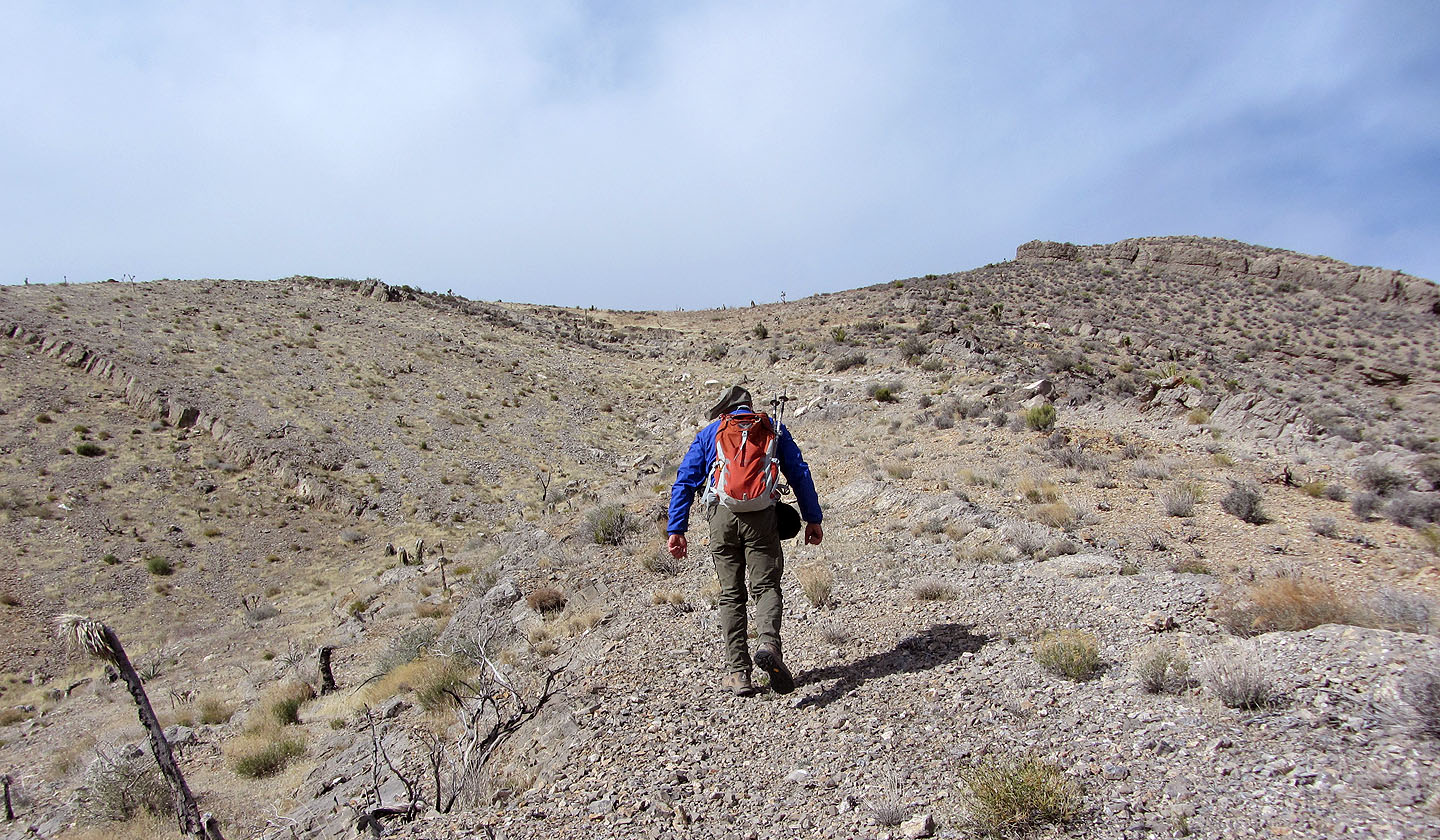
Sticking close to the ridgeline, we made our way to the tower (barely visible above Dinah)
We found a road, but it didn't last long
Looking back
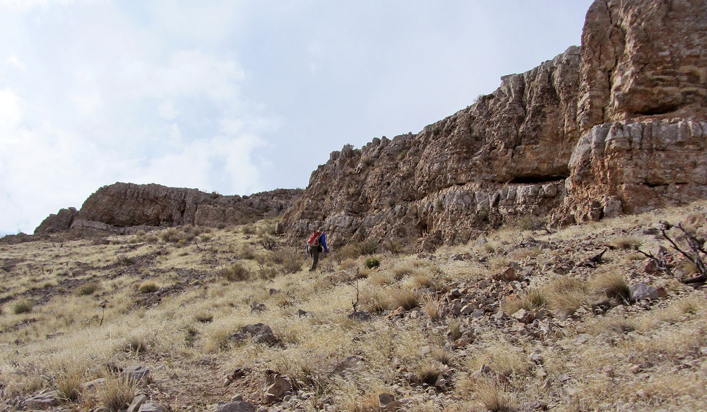
Following the base of a cliff band
The cliff band offered a little protection from the wind
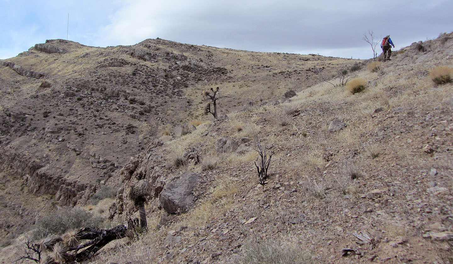
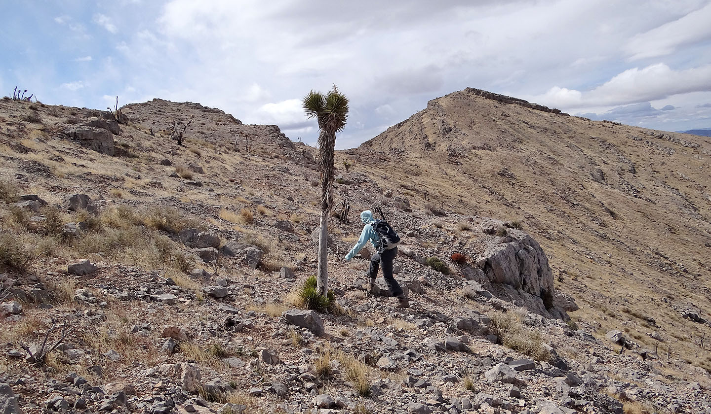
We made our way to the tower on the left
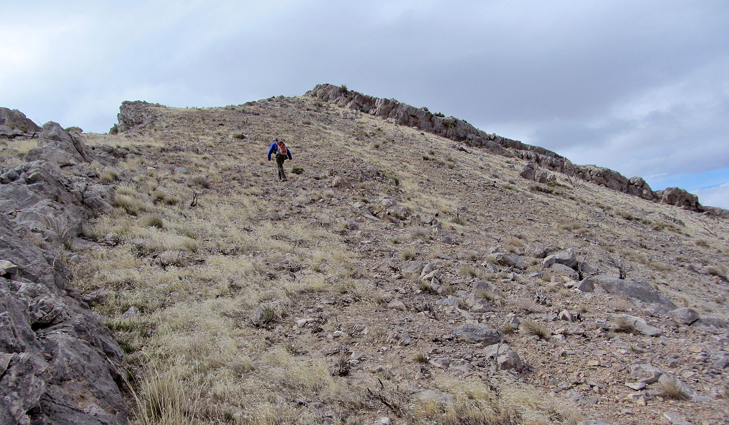
After the tower we saw the summit
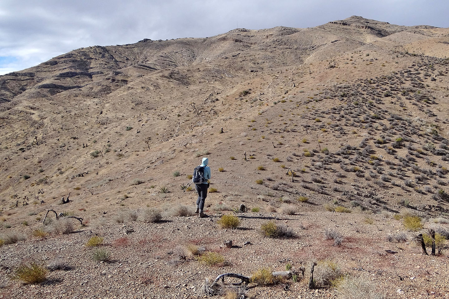
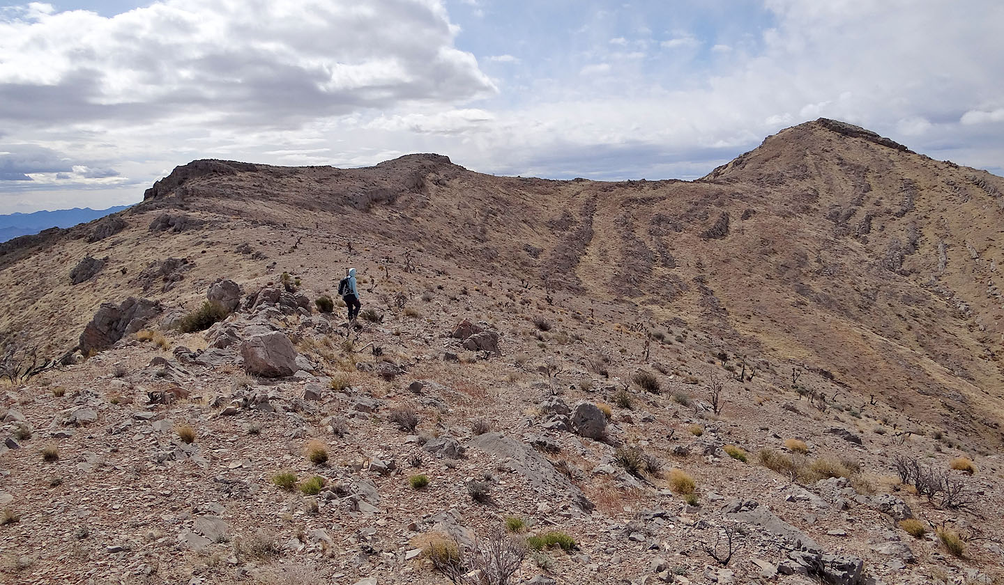
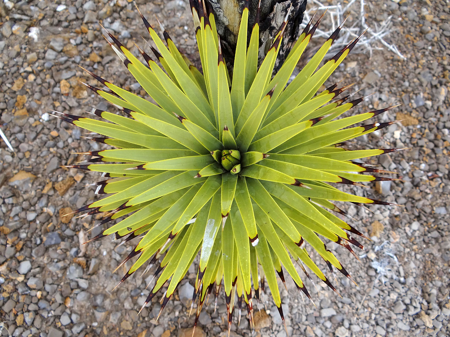
There is surprisingly little vegetation on the mountain
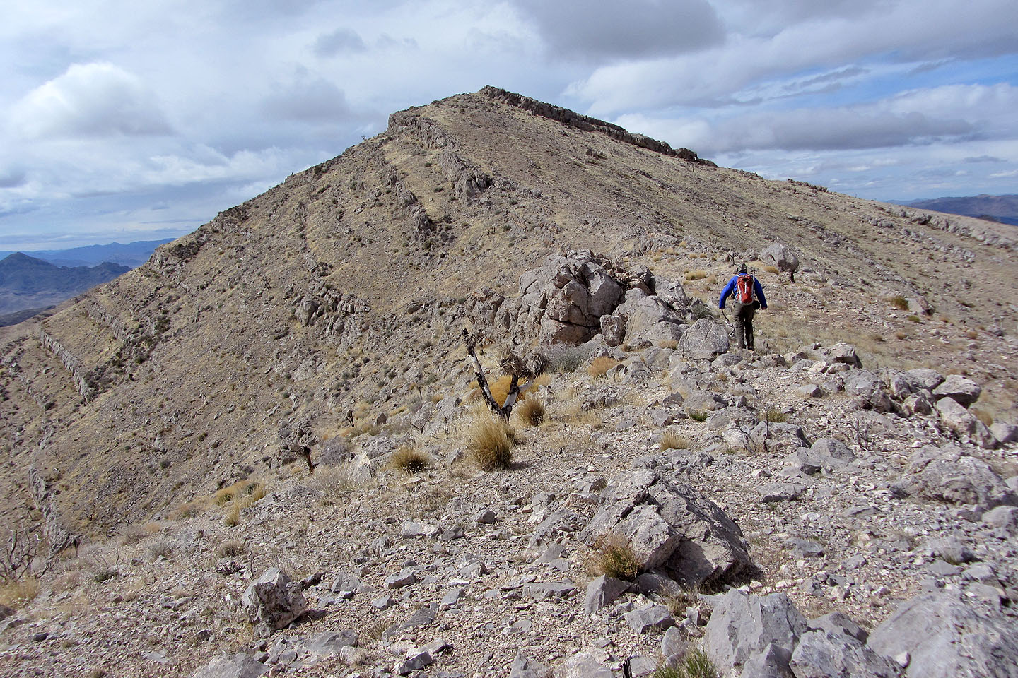
The summit is straight ahead
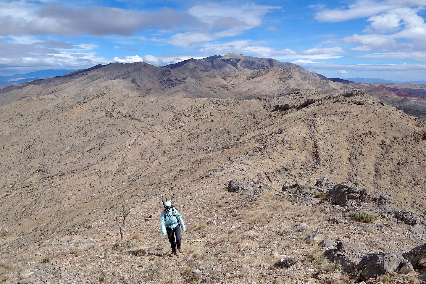
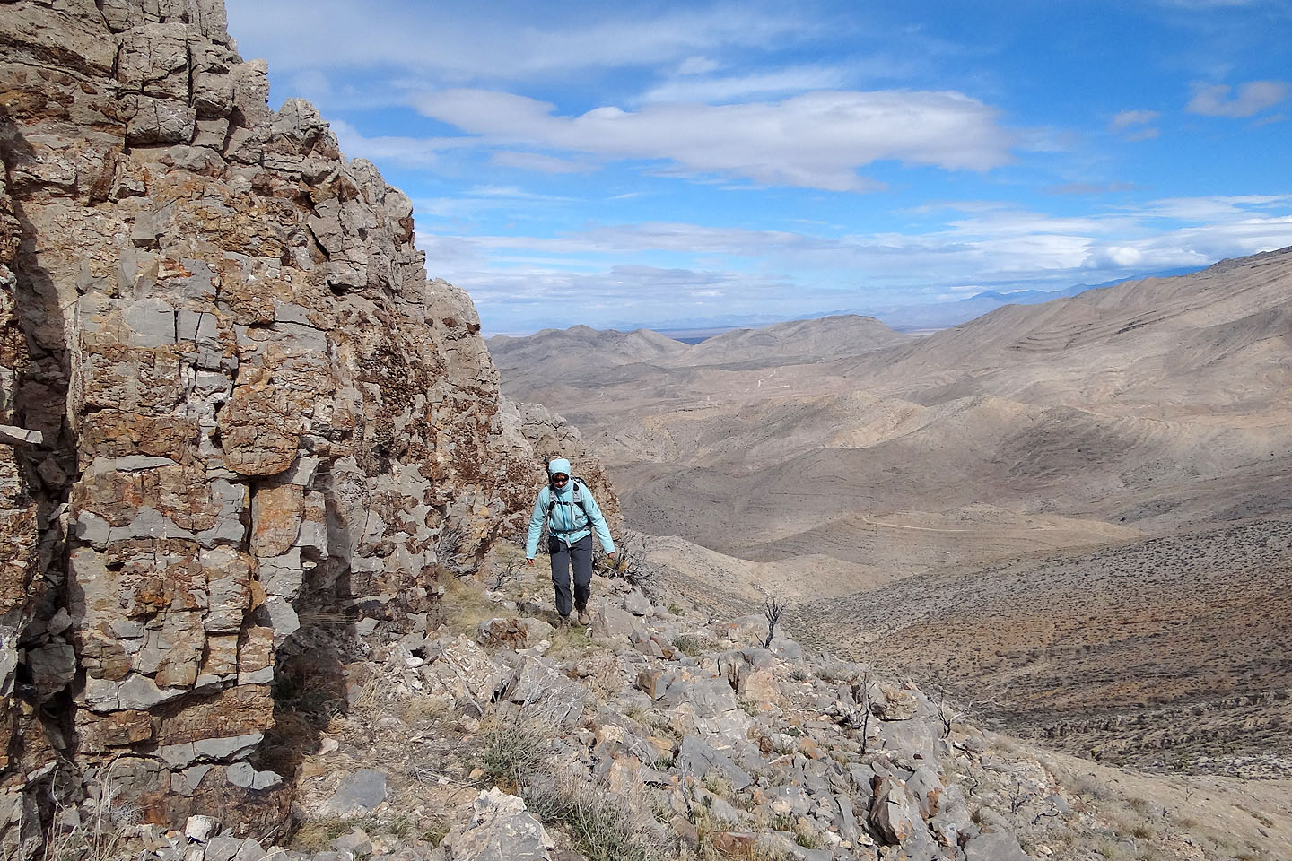
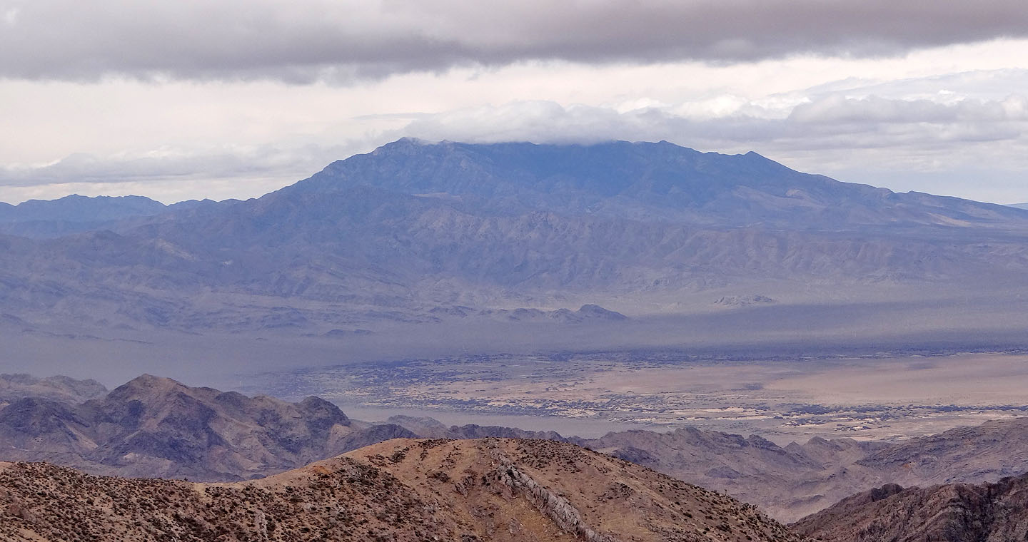
Potosi Mountain rises behind us (mouse over to zoom in)
The summit sits atop a short cliff band
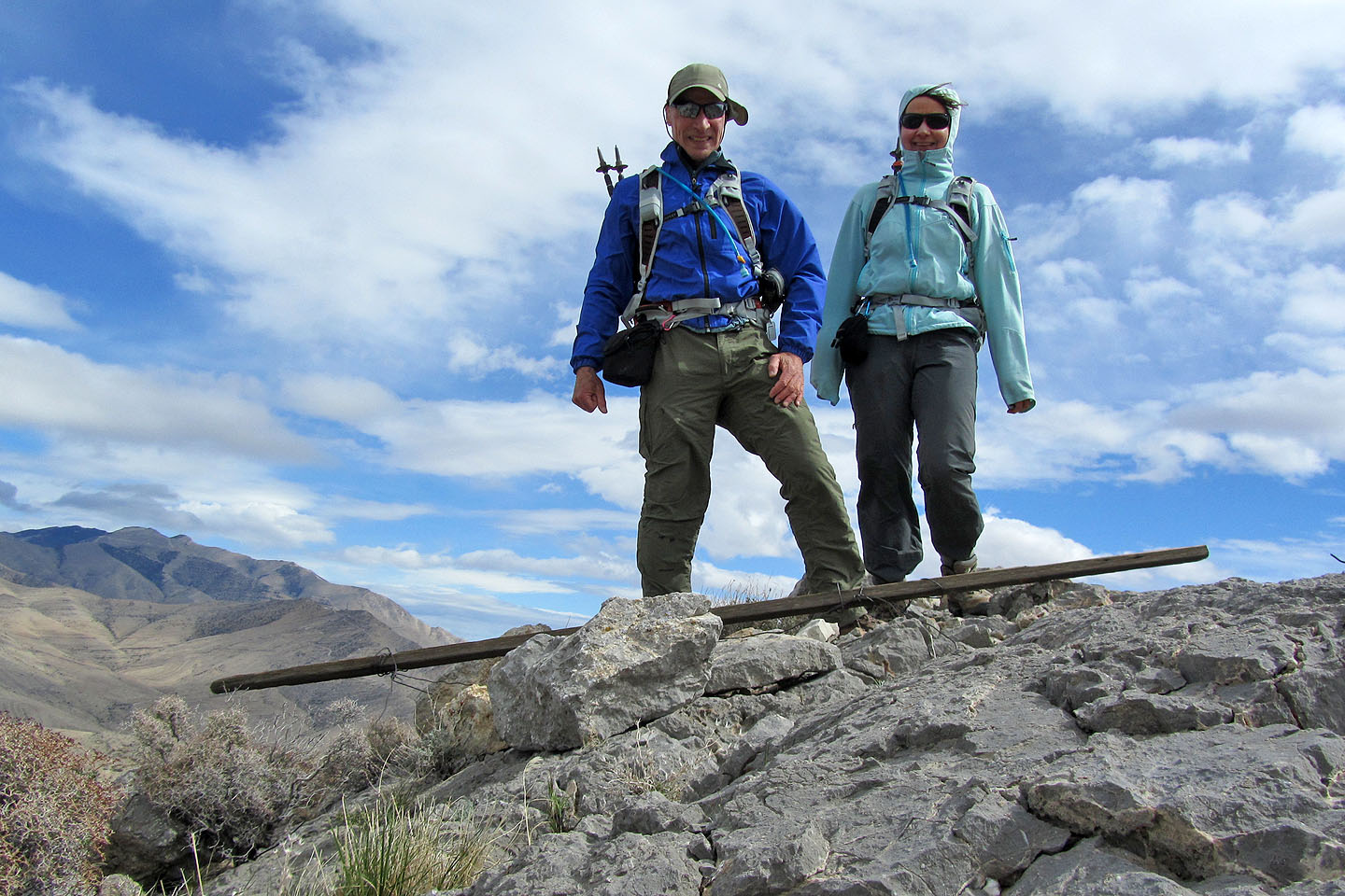
Standing on top of Shenandoah
Clark Mountain is under a cloud
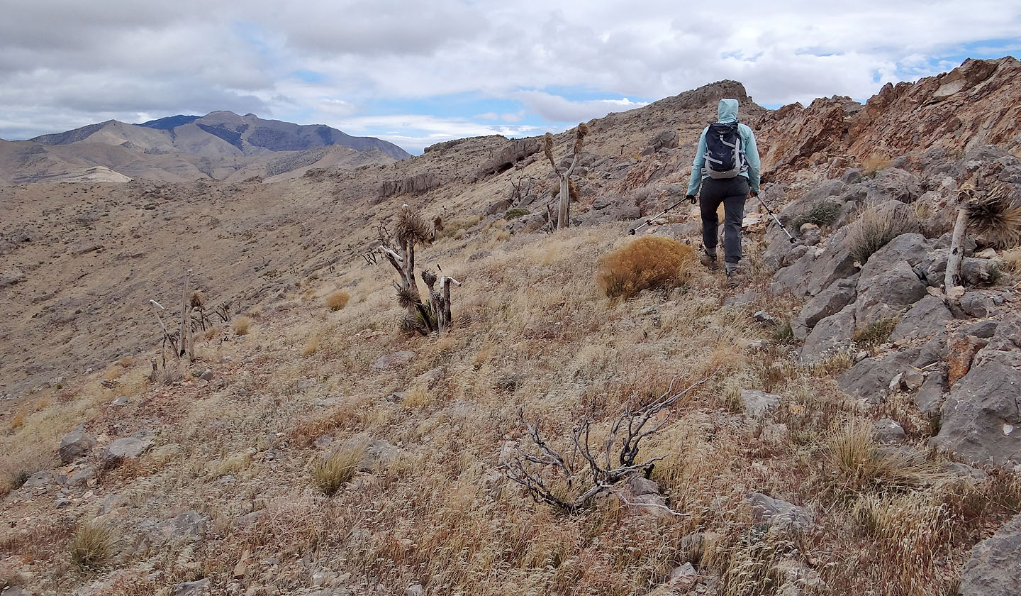
Heading back
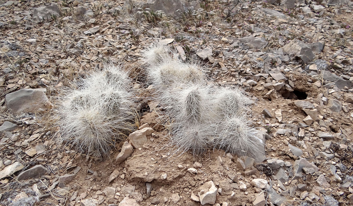
Grizzlybear cactus
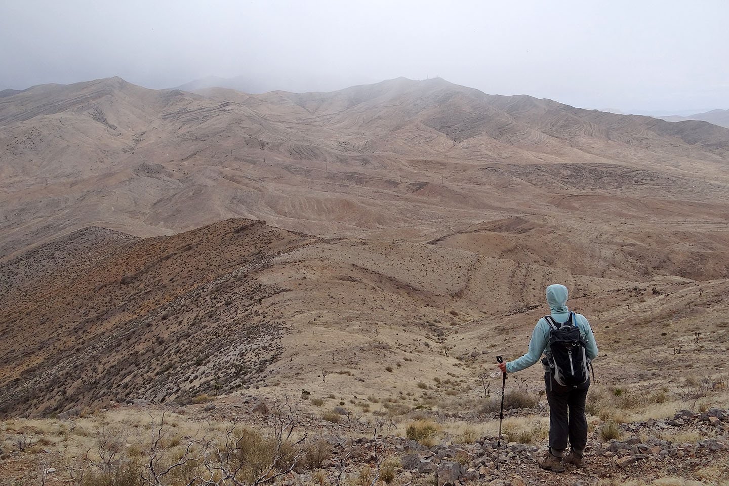
The summit of Potosi is now completely whited out
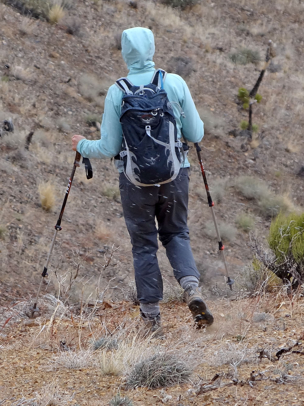
Driven by wind, snow pellets stung our faces
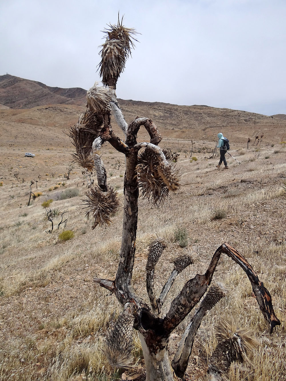
It wasn't until I examined this dead Joshua tree, that I realized a fire had swept through the area
But new life, like this young Joshua tree, was already springing up
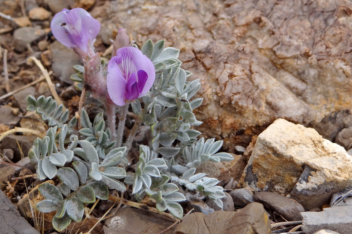
Rain drops cling to this purple desert wildflower
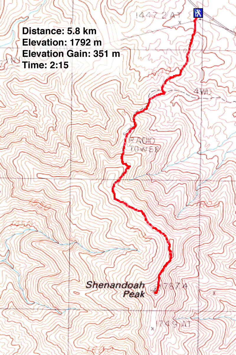
Shenandoah Peak (3.6 mi, 5879 ft, 1152 ft)