bobspirko.ca | Home | Canada Trips | US Trips | Hiking | Snowshoeing | MAP | About
Clark Mountain
Mojave Desert, California
November 17, 2011
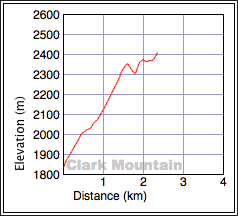
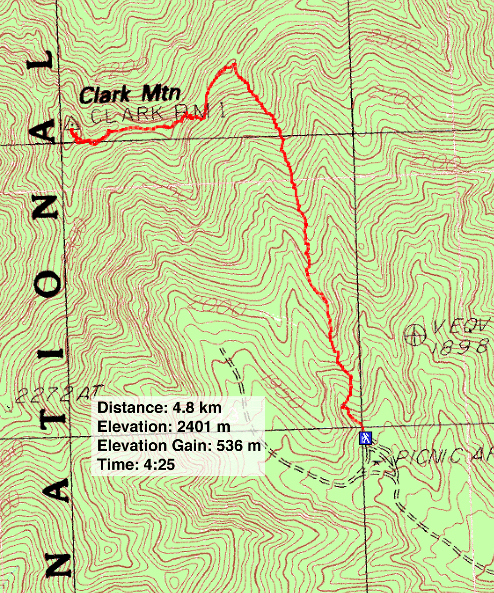
Distance: 4.8 km (3.0 mi)
Cumulative Elevation Gain: 671 m (2201 ft)
Having driven past Clark Mountain a few times while crossing the Nevada-California border, it was time to climb this peak, the highest point in the Mojave National Preserve. But Dinah and I had two concerns: the back roads to the trailhead and the class 3 crux. The drive along the back roads involved a few twists and turns, places where we could go wrong, while the crux, although only a class 3, necessitated a 20-foot ascent up a cliff (according to Andy Zdon's Desert Summits). Shin joined us and brought along 70 feet of webbing.
Soon after we drove off the Interstate 15 pavement and onto the dirt road, we ran into problems: the back roads had been reconfigured. A huge reservoir was under development transforming the entire area at the start. After spending several minutes driving around, we adjusted to the new arrangement, got on track, and made it to the trailhead, a picnic area.
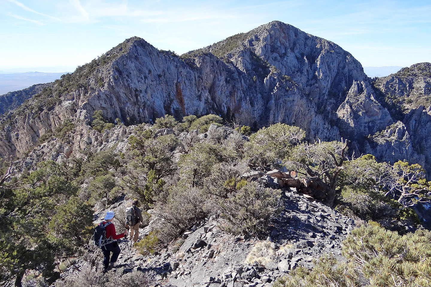
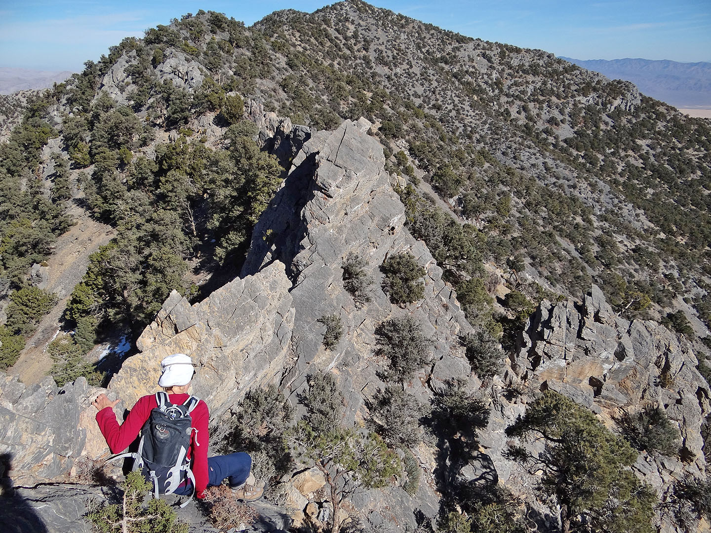
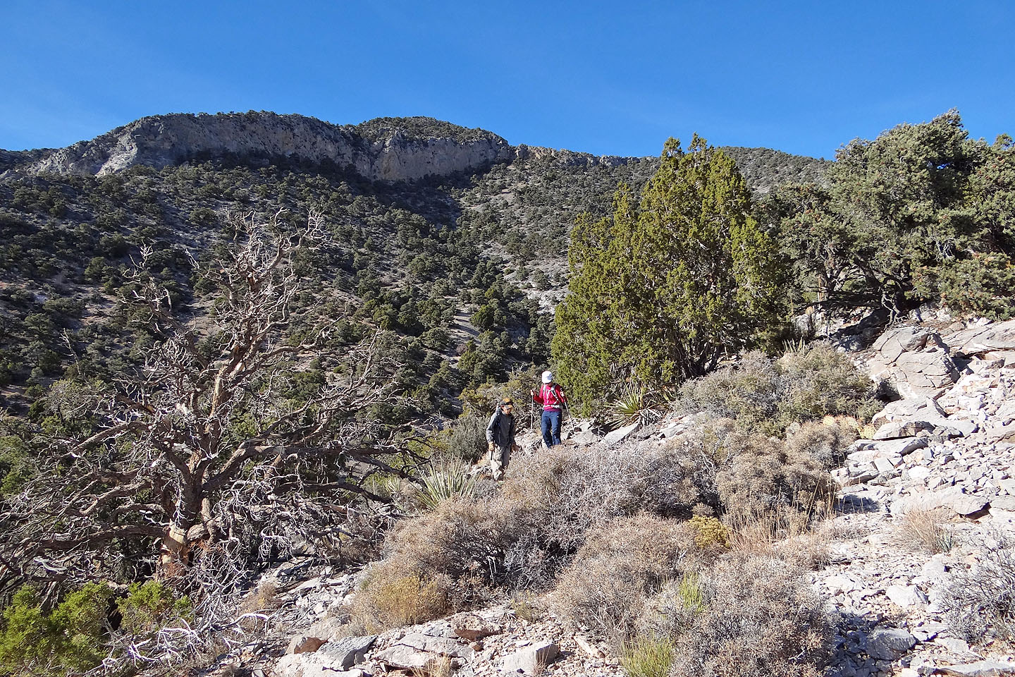
From the picnic area, we walked a short way up a wash and then gained the spur on our right that runs into the summit ridge. The spur and ridge meet at a high point and from there we studied the way to the summit. Below, a sawtooth ridge connects to the next high point. Beyond that, the ridge dropped a bit, doglegged right and rose to meet the summit.
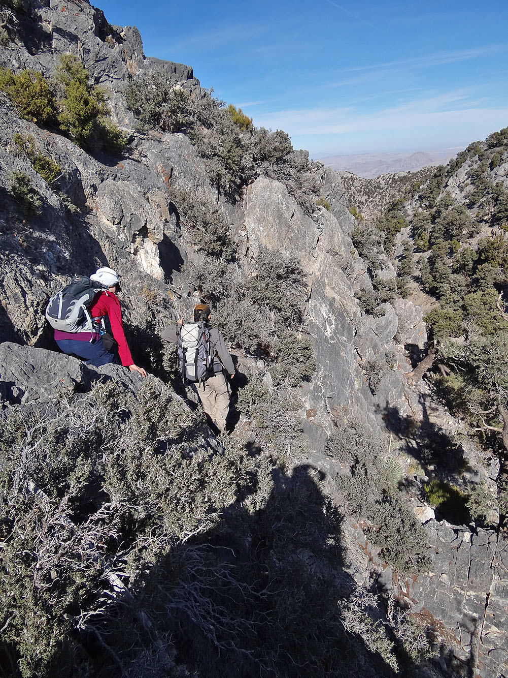
We didn't attempt the sawtooth ridge. Instead, we dropped down below it on the left side and made our way to the class 3 crux. Facing the crux head-on, it didn't look bad, but it was higher and steeper than we expected. Higher, in fact, than the book's description (and a class 3+ we thought). Shin scrambled up first. At the top of the crux, he doubled his webbing and anchored it to a tree. The webbing fell about ten feet short of the bottom; the crux height appeared closer to 45 feet. Aided by the webbing, Dinah and I climbed up and joined Shin. We left the webbing in place for our descent and continued climbing.
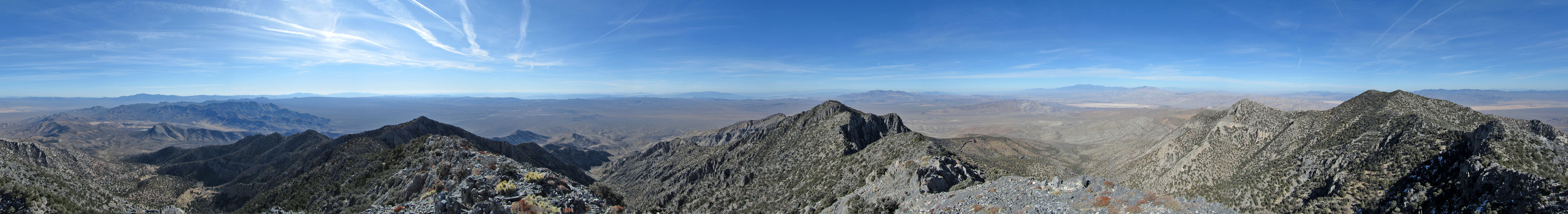
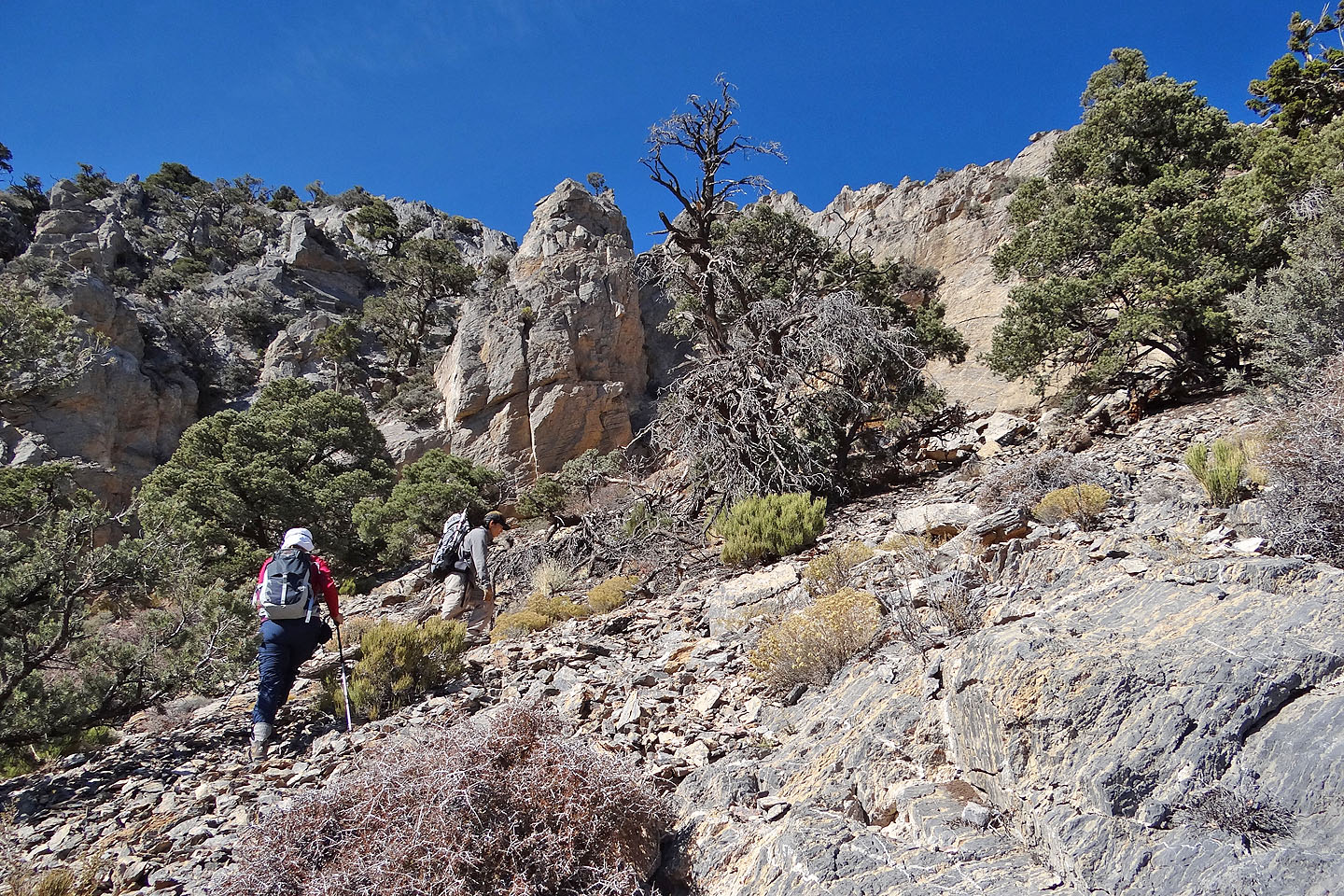
After hitting a few more scrambling sections above the crux, we reached the high point before the summit. From there, we hiked to the top of Clark Mountain. On the summit, Shin pointed out the surrounding peaks to Dinah and me. Not only do we appreciate his knowledge of desert summits, but we greatly enjoyed Shin's company.
KML and GPX Tracks
Shin's Photos
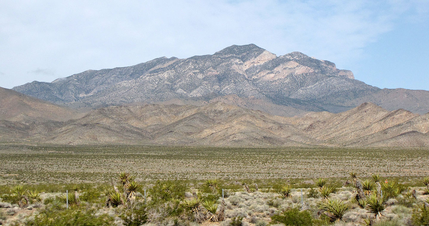
Clark Mountain from Interstate 15
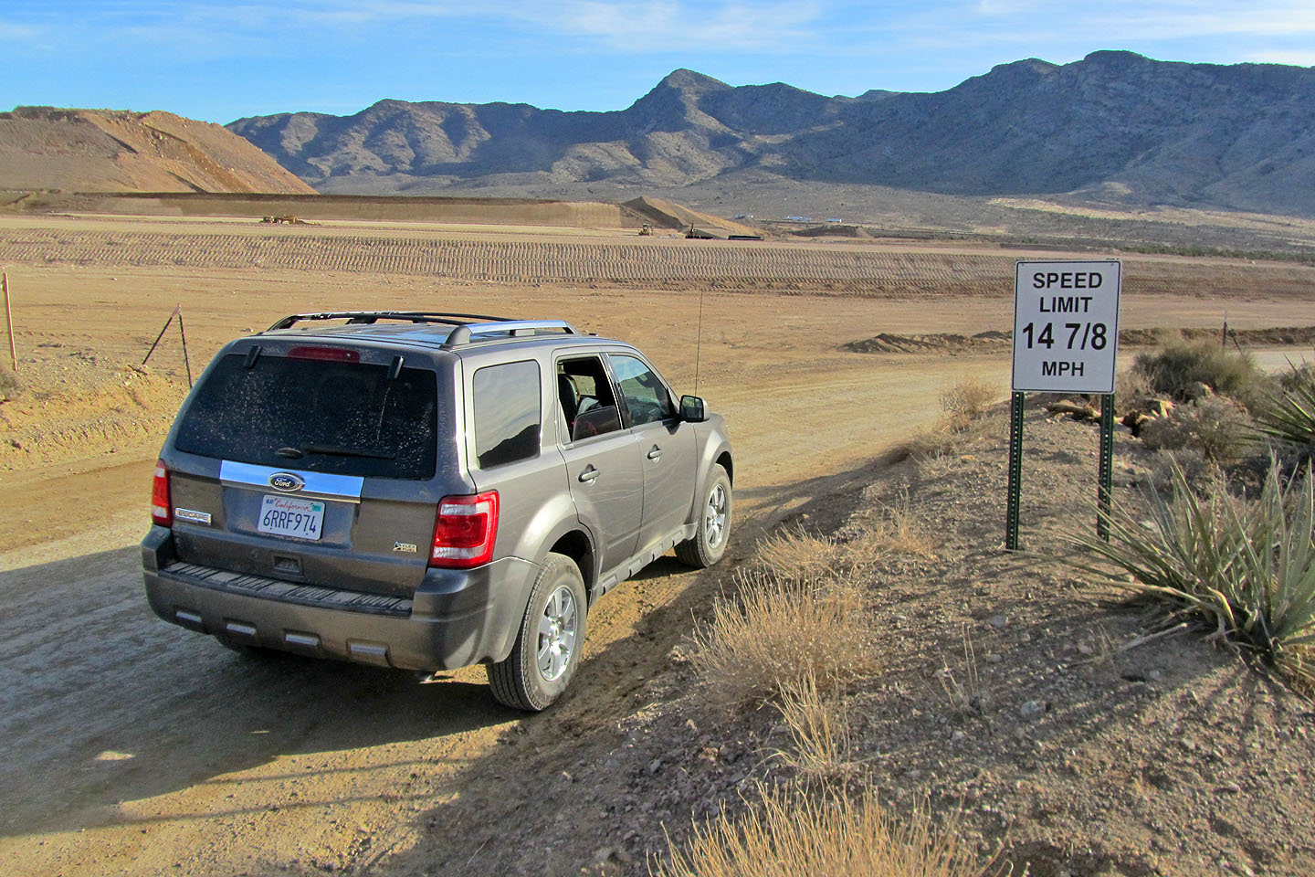
The area is under transformation and we carefully kept our speed to 14 7/8 mph
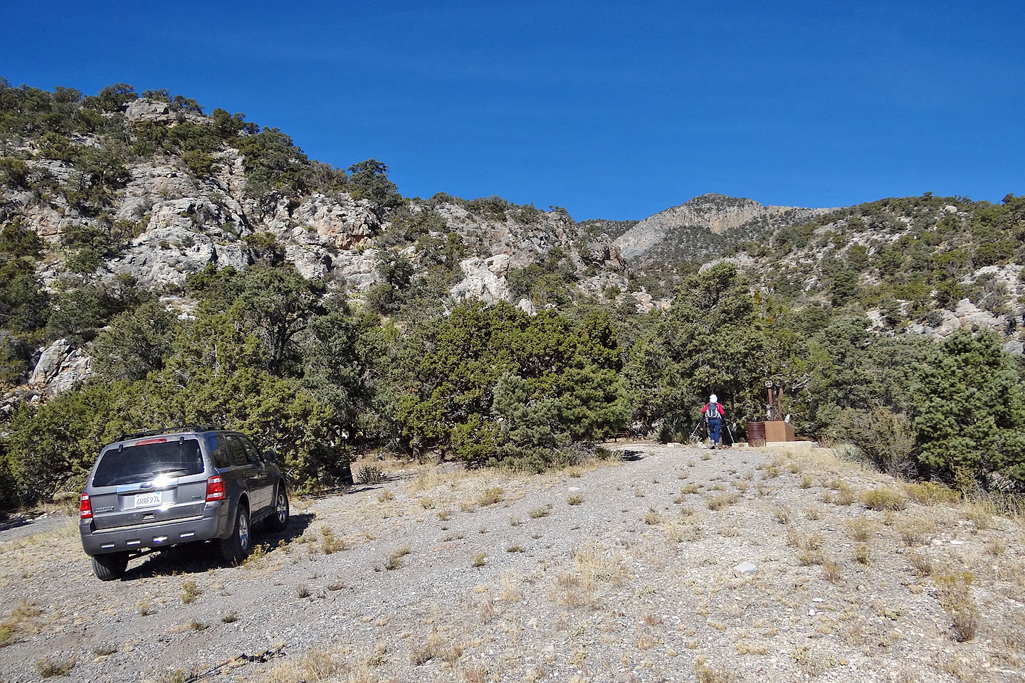
Trailhead (mouse over for a close-up of the picnic area)
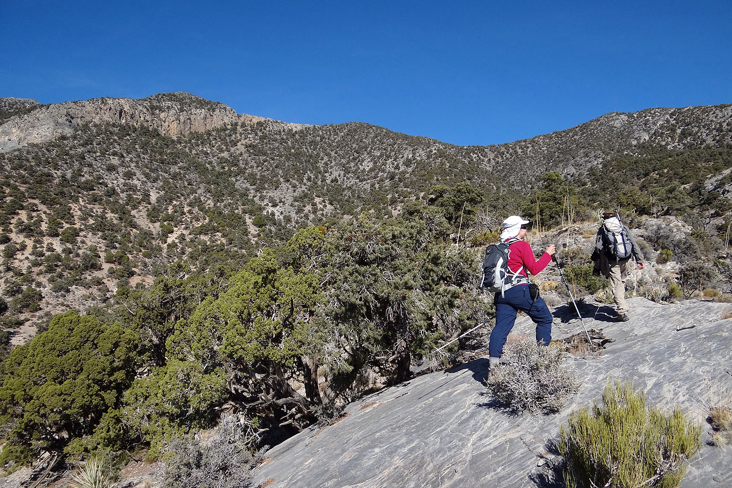
Hiking up the spur, the second high point on the far left

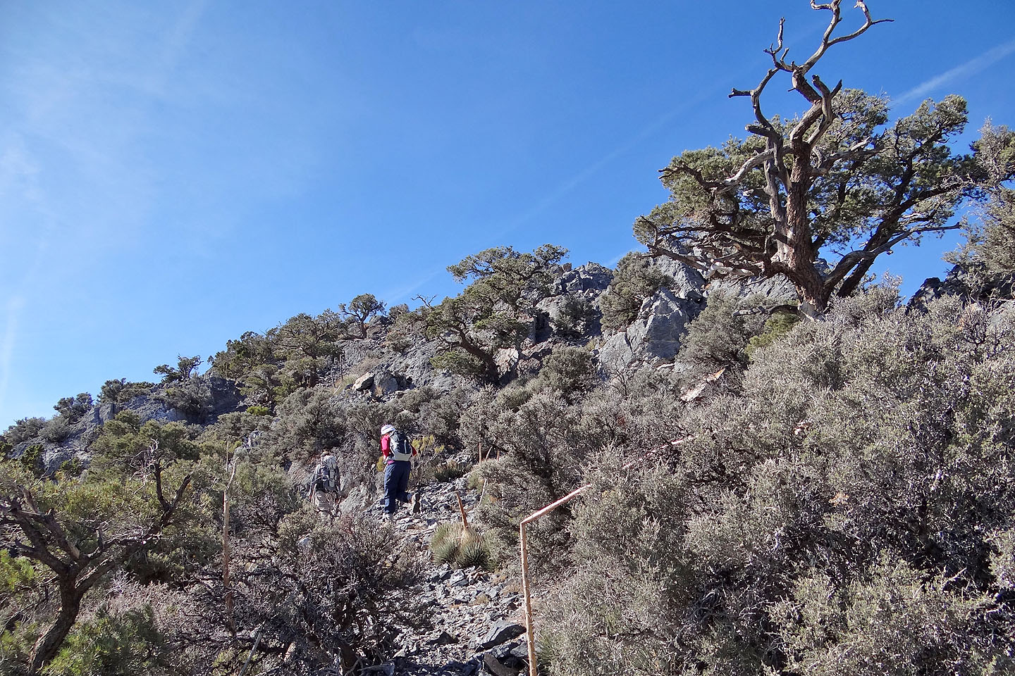
We sought out open areas along the spur
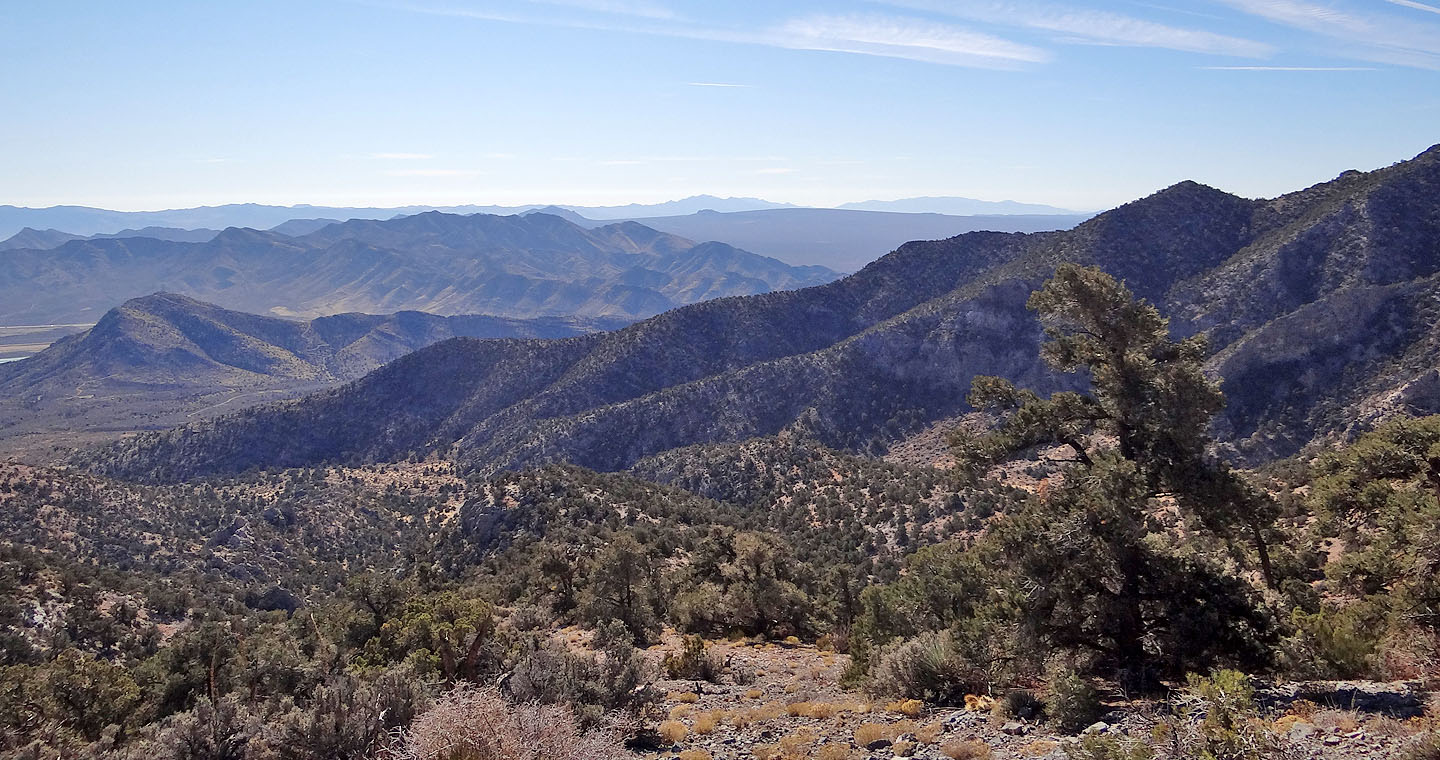
Looking south toward Cima Dome. Left of the summit of Cima Dome is Teutonia Peak (mouse over)
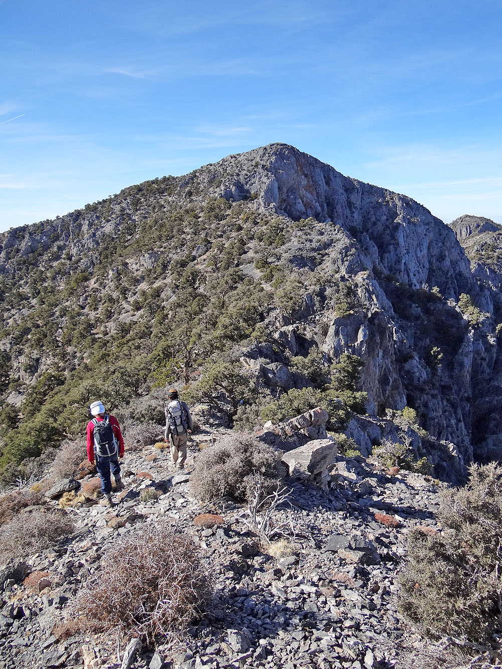
View of the summit (right) from the first high point
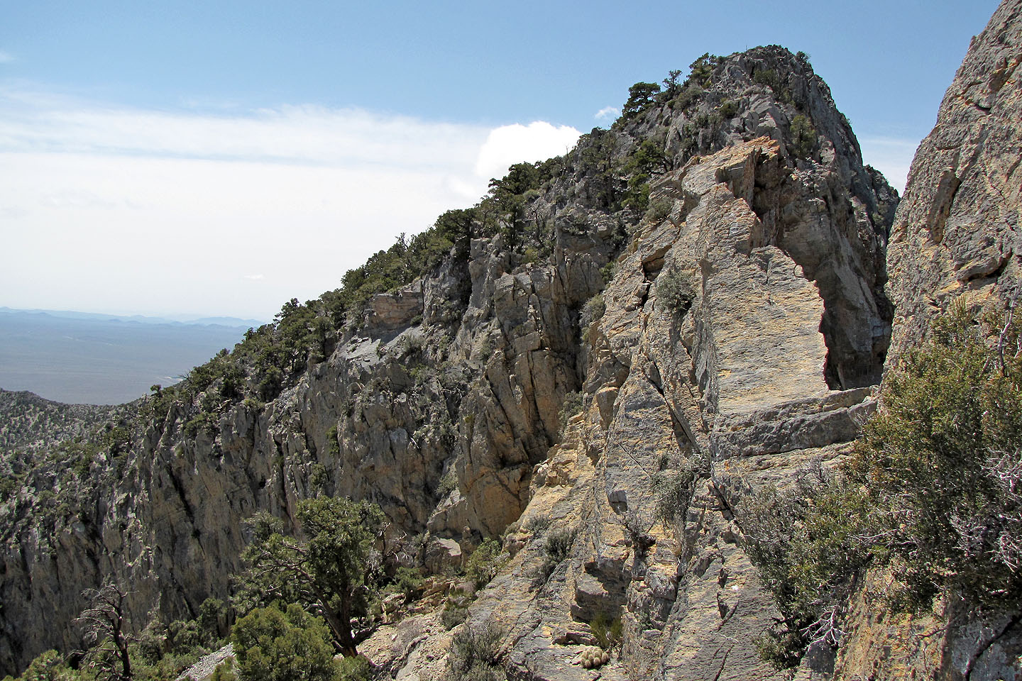
We opted not to follow the exposed spine to the next high point
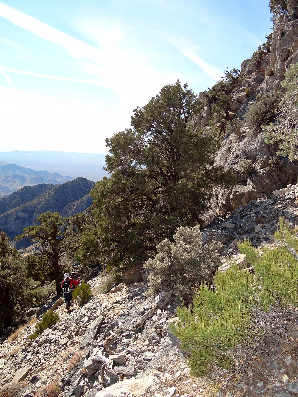
Hiking below the cliffs
The crux is left of the buttress
Looking up the crux
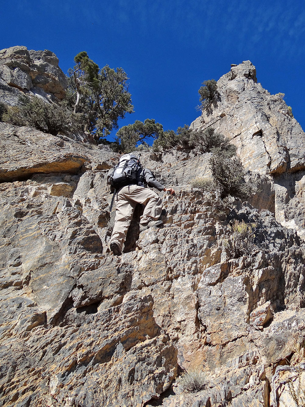
Shin scrambles up
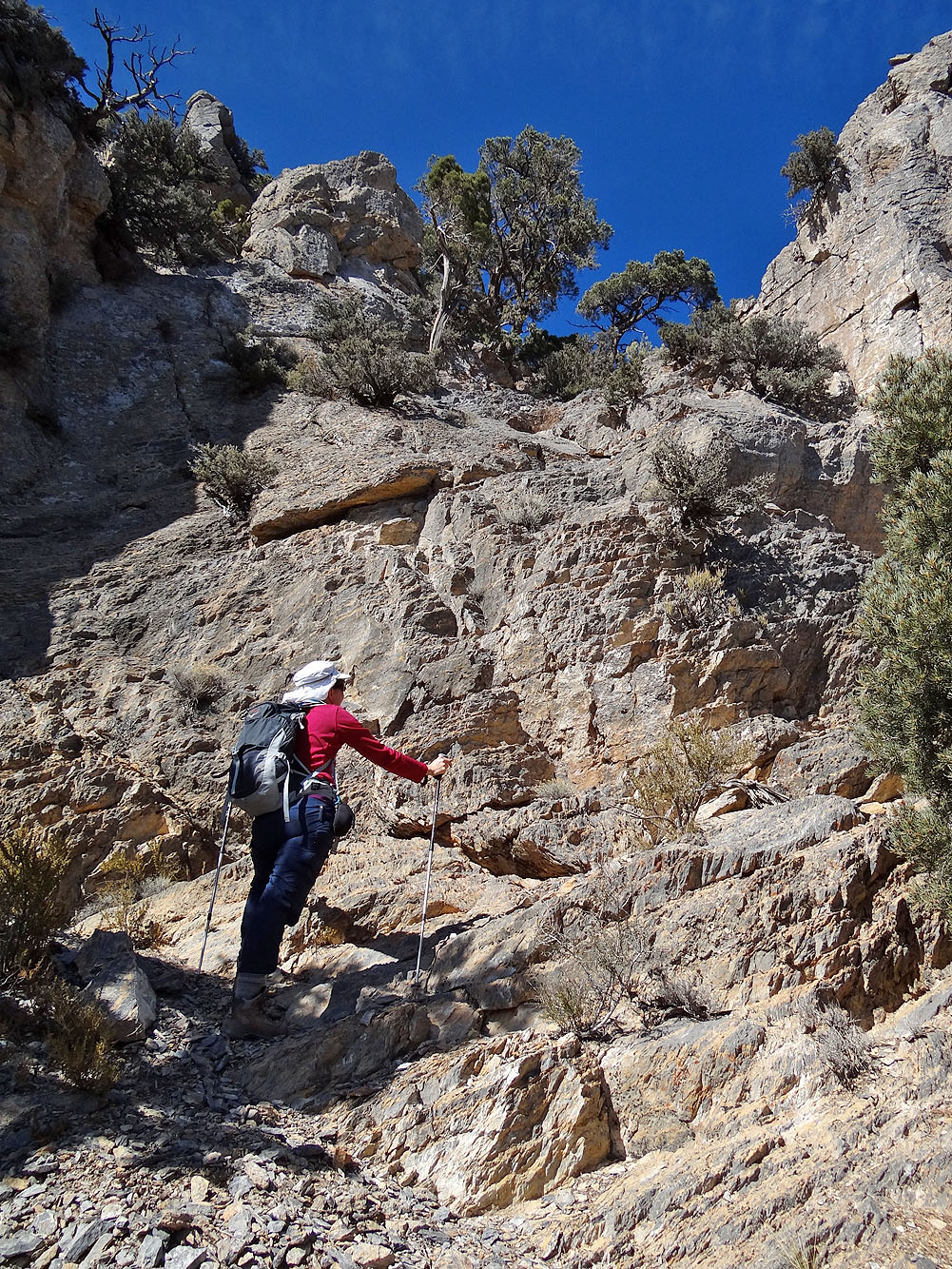
Dinah eyes the crux from the bottom
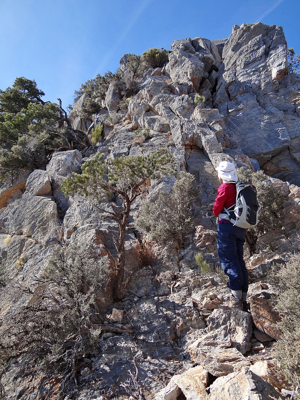
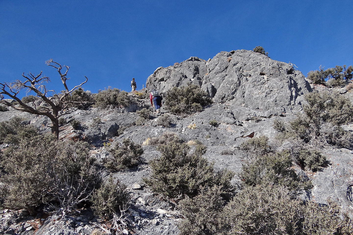
Studying the next scrambling challenge above the crux
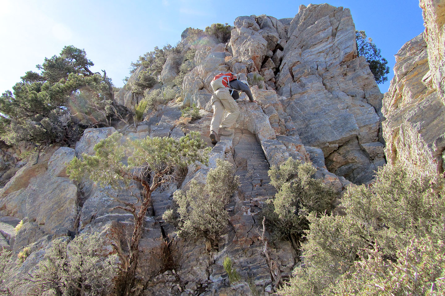
Scrambling up
Hiking to the final high point
Heading to the summit from the second high point
Almost on the summit
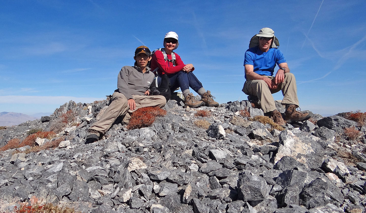
On top of Clark Mountain
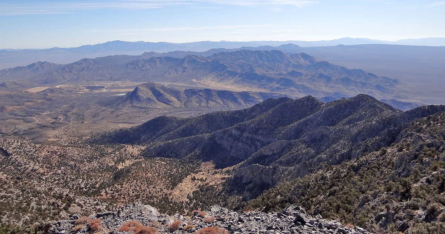
Looking southeast toward Table Mountain 50 km away (centre, mouse over to zoom in)
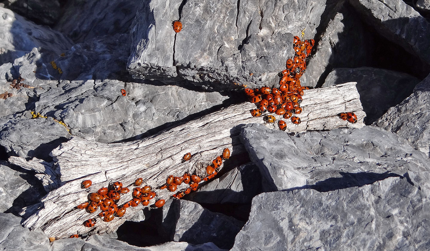
The summit held dozens of pockets of lady bugs
Starting back down the second high point
Another drop to negotiate
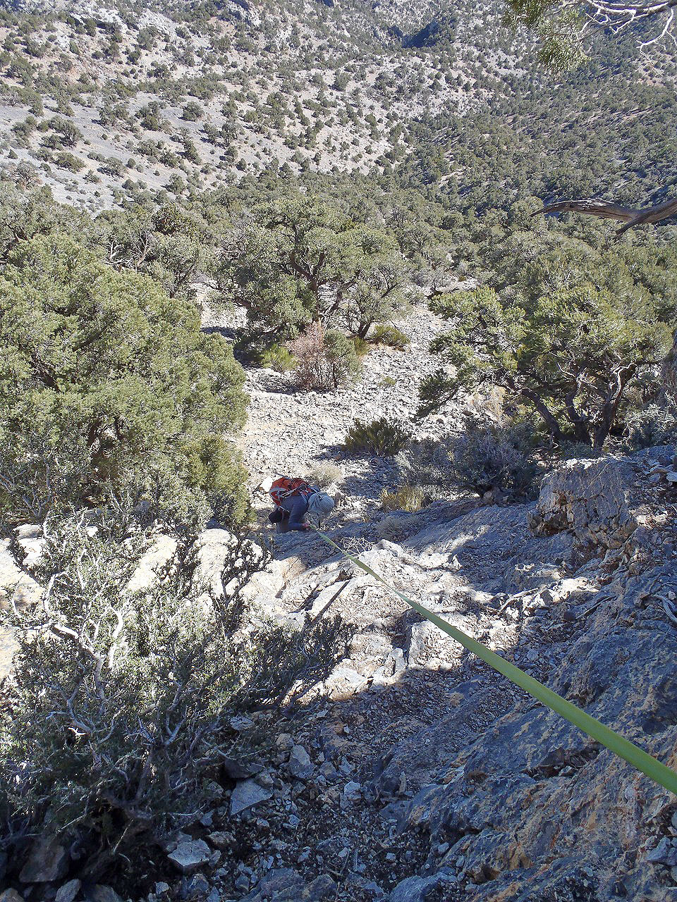
Partway down the crux
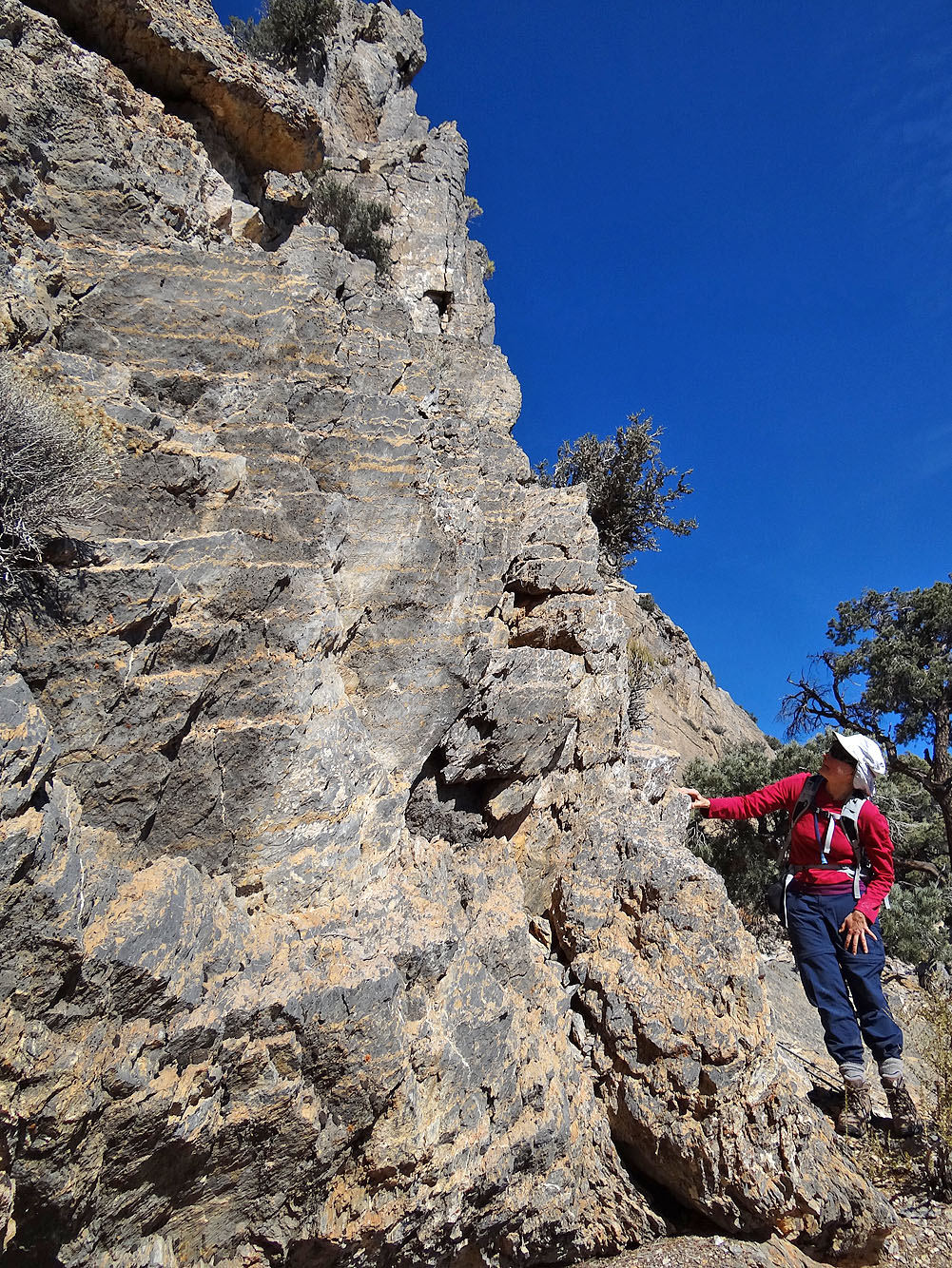
Looking back at the crux from the spur (mouse over to zoom in)
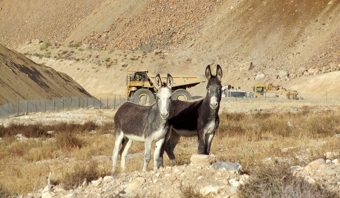
Feral burros
Clark Mountain (3.0 mi, 7877 ft, 1759 ft)