bobspirko.ca | Home | Canada Trips | US Trips | Hiking | Snowshoeing | MAP | About
Apikuni Mountain
Glacier National Park, Montana
July 2, 2016
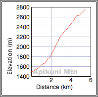
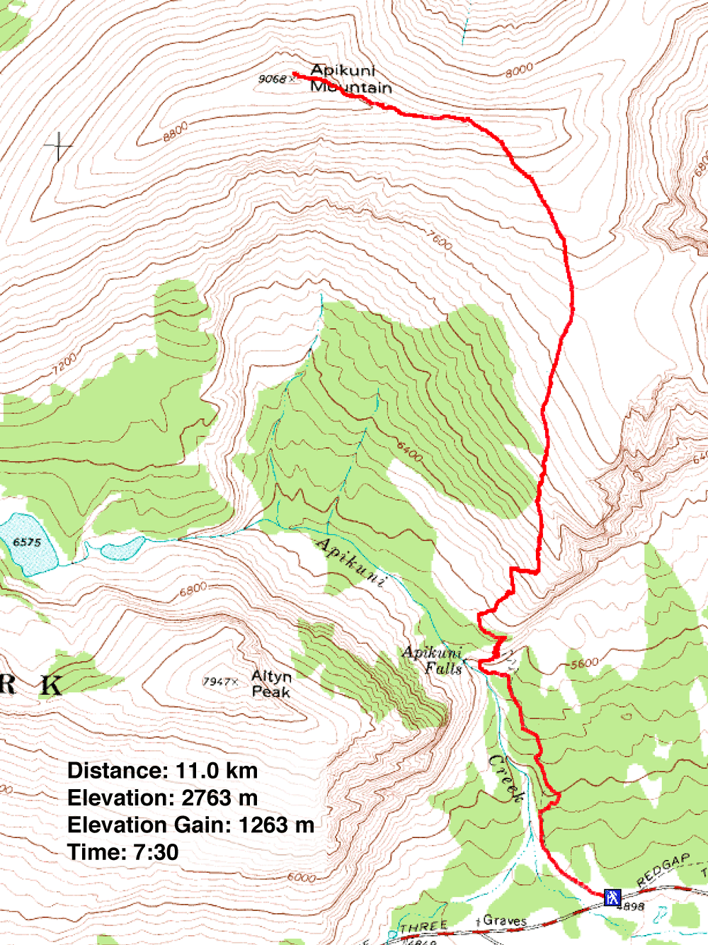
Distance: 11.0 km (6.8 mi)
Cumulative Elevation Gain: 1294 m (4245 ft)
Looking for a change in scenery from the mountains west of Calgary, Sonny, Dinah and I turned our attention south of the border, to Apikuni Mountain. This peak, which Sonny suggested, is mostly a class 2 climb (we encountered a brief class 3 section) that was certain to be snow-free early in the season.
The trip begins at Apikuni Falls trailhead. After reaching the falls, the trail climbs to a hanging valley. The usual route follows the trail into the valley to a gully and then leaves the trail to ascend the southeast ridge. After gaining the ridge, the summit is within easy reach.
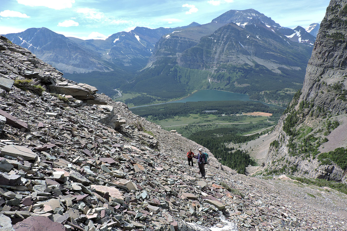
However, I questioned the practicality of the midsection of the route. Instead of venturing into the valley, why not head directly up the southeast ridge? This, I reasoned, would be a friendlier grade, and the sooner we started climbing, the sooner we would take in the views! Plus, the sheep track I noticed on Google Earth would greatly ease our ascent. The trail wasn’t always easy to follow, but aside from a few short twists, it runs nearly straight (I built a few cairns to aid our descent). It knocks off nearly 300 m of elevation before disappearing into the expansive, featureless southeast ridge where a trail becomes irrelevant, where one can wander at will.
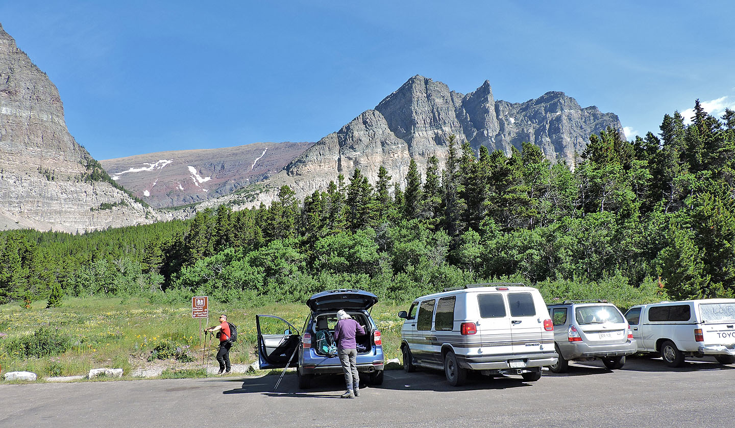
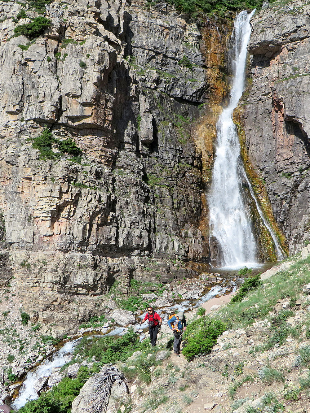
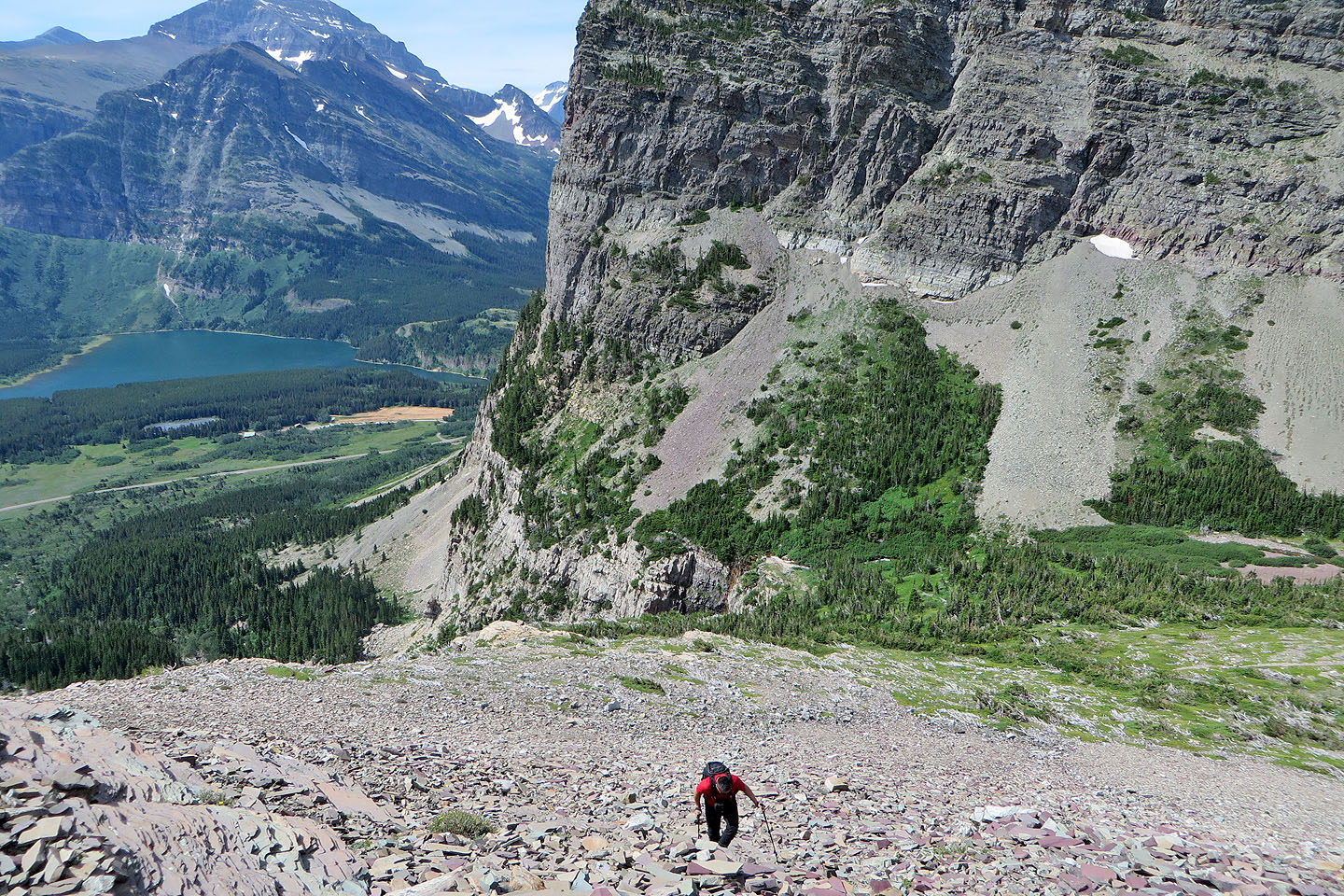
After a three-hour drive from Calgary, we parked at the trailhead and hiked to Apikuni Falls less than a mile away. In itself, the waterfalls are a popular, worthwhile destination, but we had bigger fish to fry. We put the falls below us as we climbed the trail to the hanging valley.
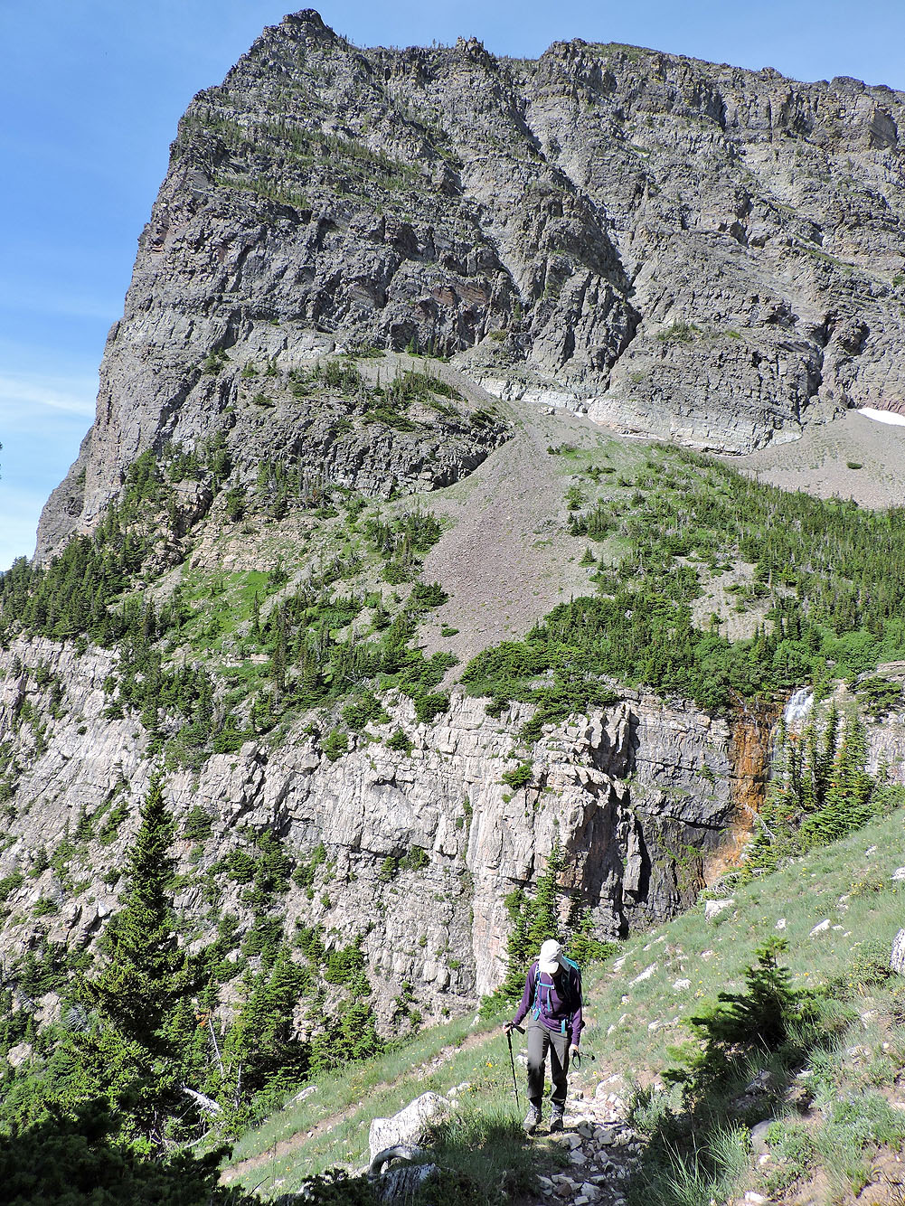
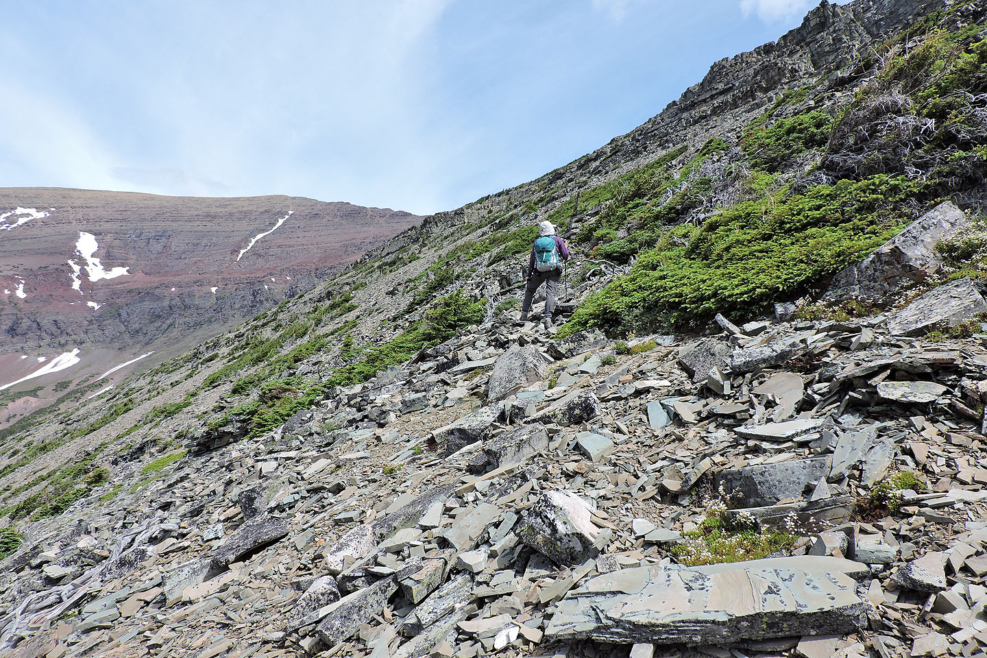
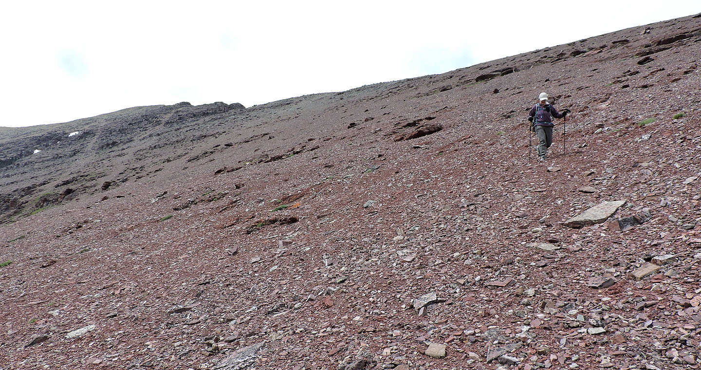
Upon reaching the edge of the valley, we left the trail and started up a scree slope. We caught a short animal track going left before leaving it to reach a higher, longer one. Before the high trail disappeared into the southeast ridge, we headed to a red scree slope. We angled up the soft scree to gain the ridge.
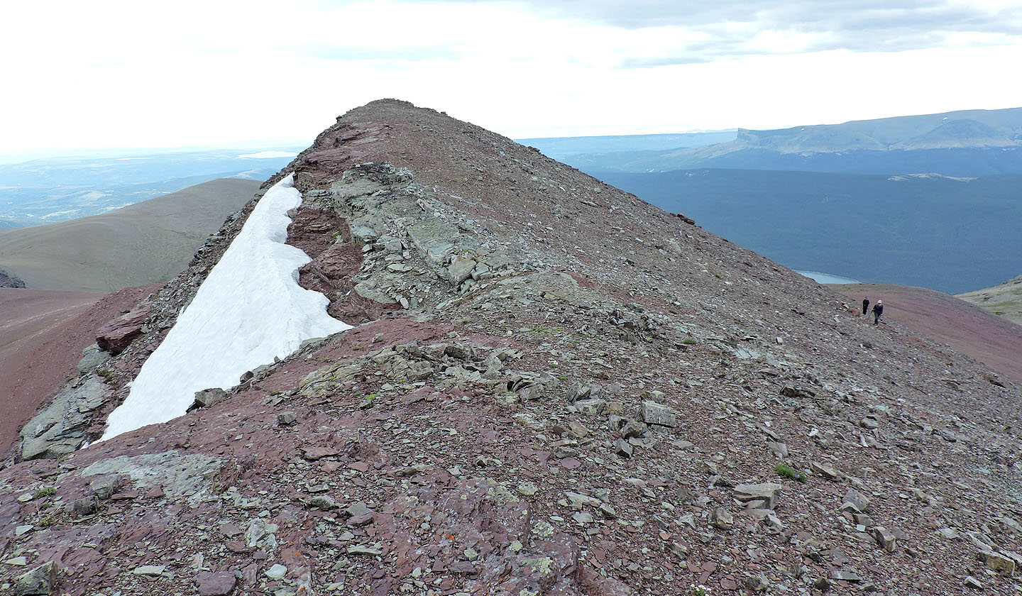
Once on the ridge, we made our way to the top of Apikuni Mountain. Keeping low on the left side, it’s little more than a walk, but scrambling challenges can be found by sticking to the crest. A large cairn marks the summit.
On a nicer day, we would have lingered longer than half an hour, but overcast skies dulled Apikuni’s summit views, which, according to A Climber’s Guide to Glacier National Park, are “unique and spectacular.” So we headed back down.
Other than to take advantage of good scree – the red slope was fast and fun – we retraced our steps back down. At the falls, we paused to again admire the cascading water, the area now busy with tourists, before returning to our car.
KML and GPX Tracks
Sonny's Trip Report
The modest summit of Apikuni Mountain rises above Sonny,
well in the background
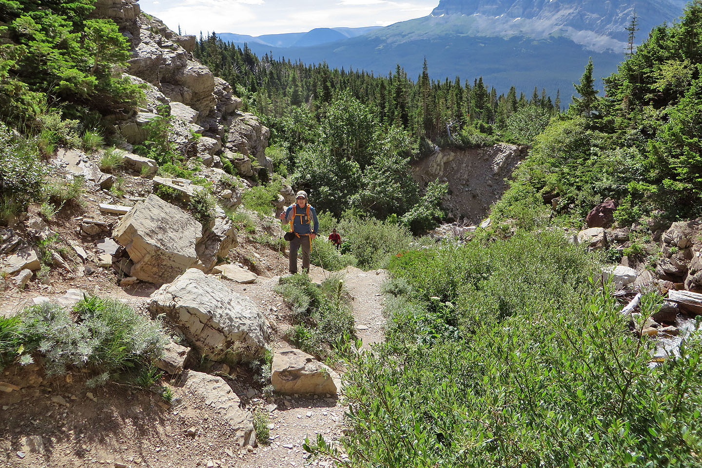
Hiking up the trail
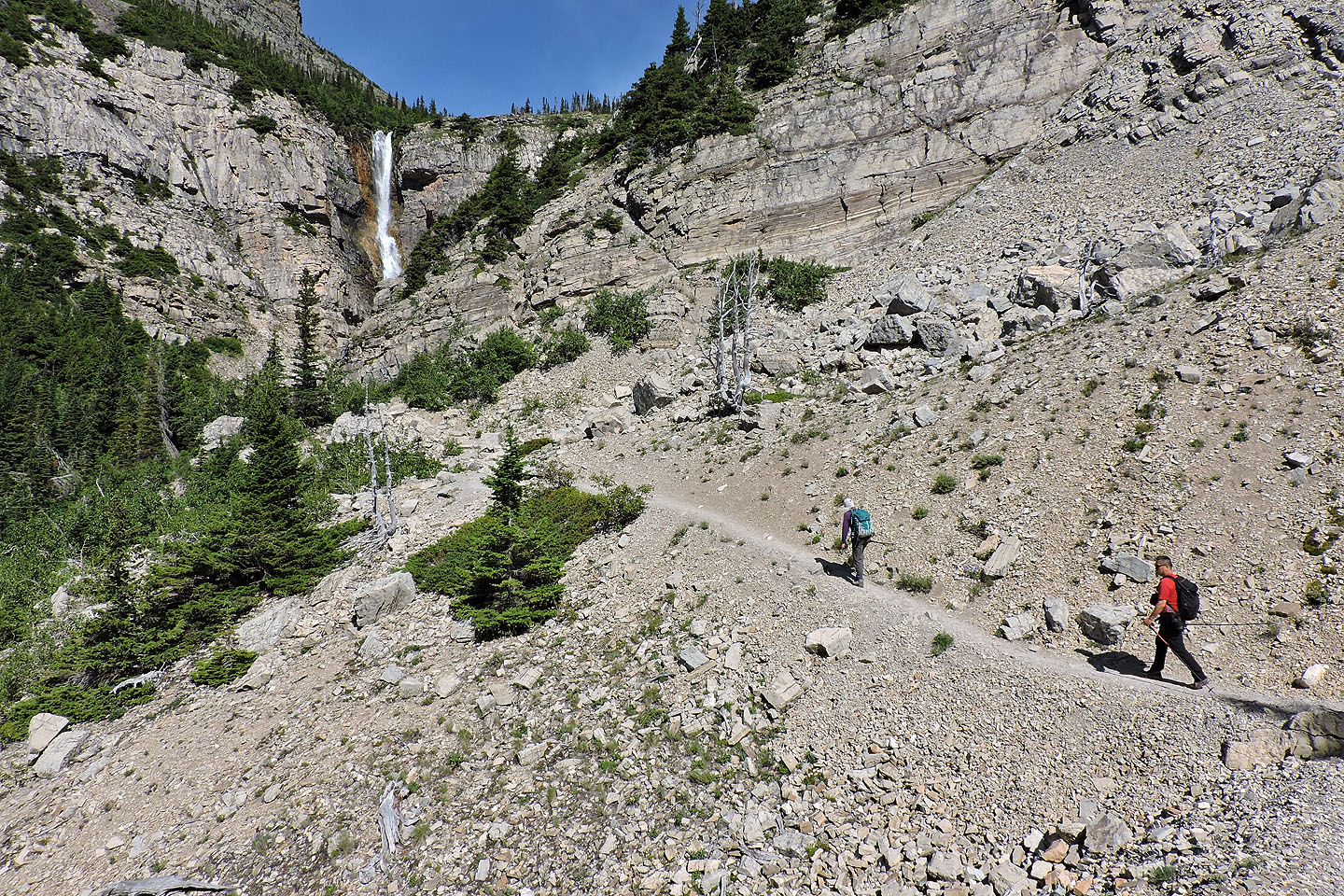
Apikuni Falls is less than a mile from the trailhead
A few trails start up from the falls but we took the first one
The trail switchbacks before reaching the hanging valley
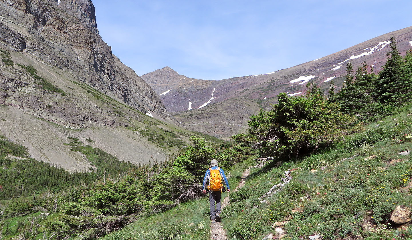
Following the trail into the valley
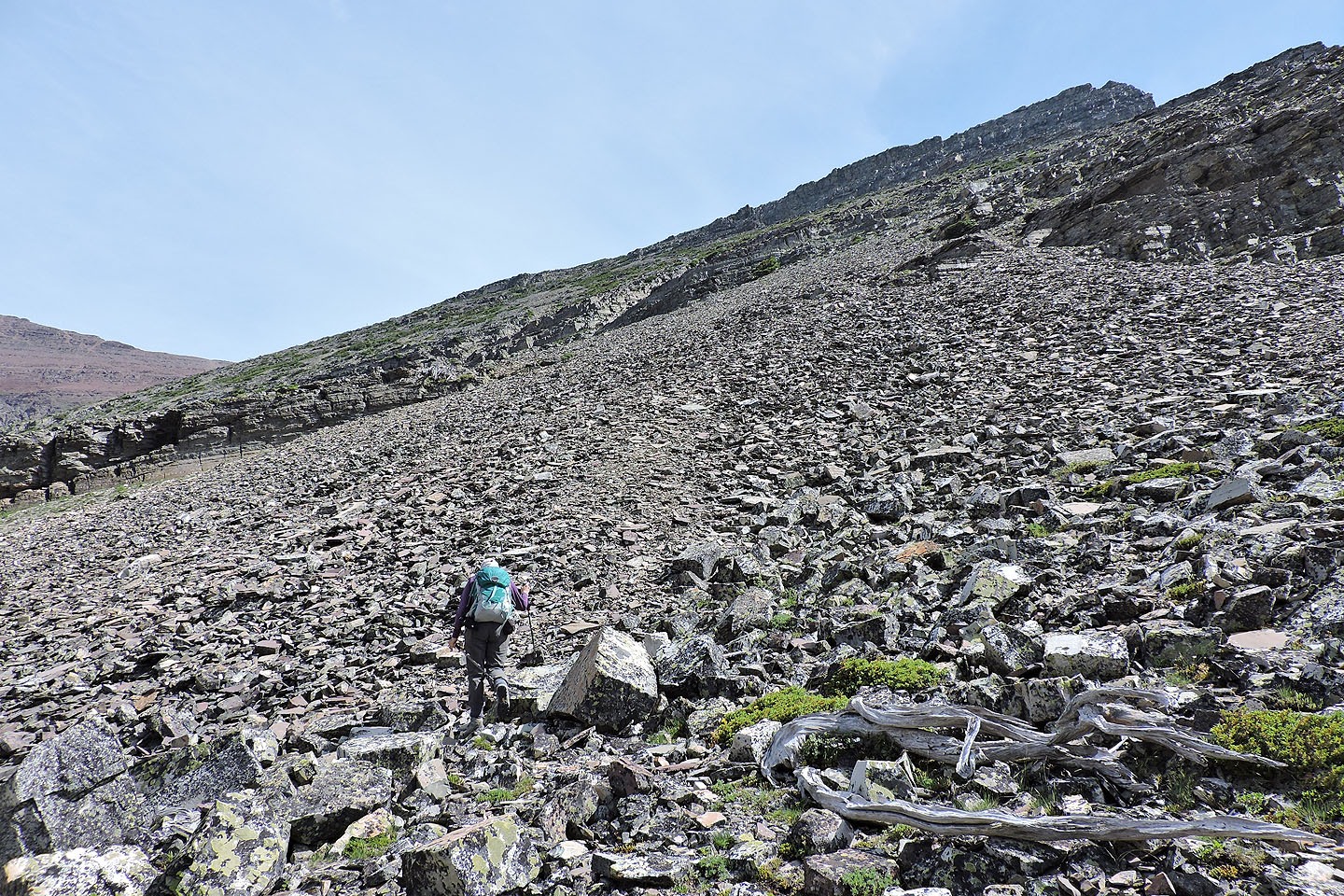
After leaving the trail we started up the scree slope
Looking back
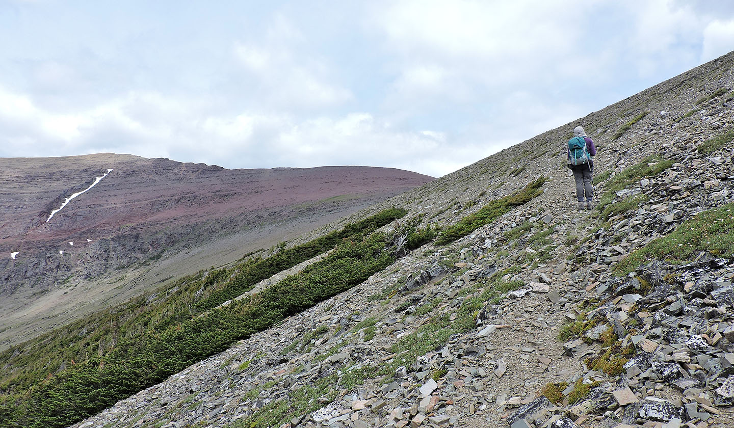
We followed a sheep track low on the slopes before leaving for a higher, longer trail
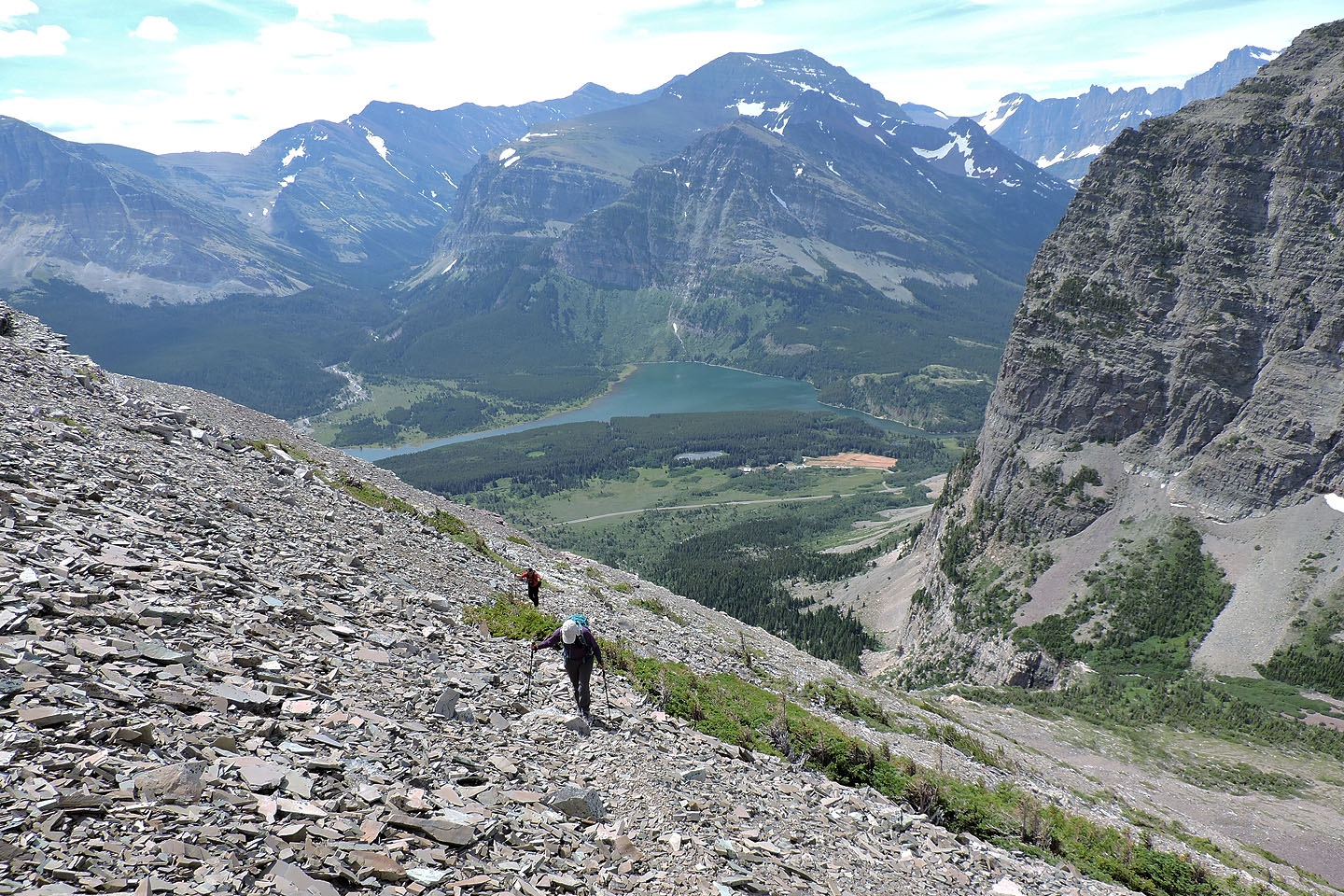
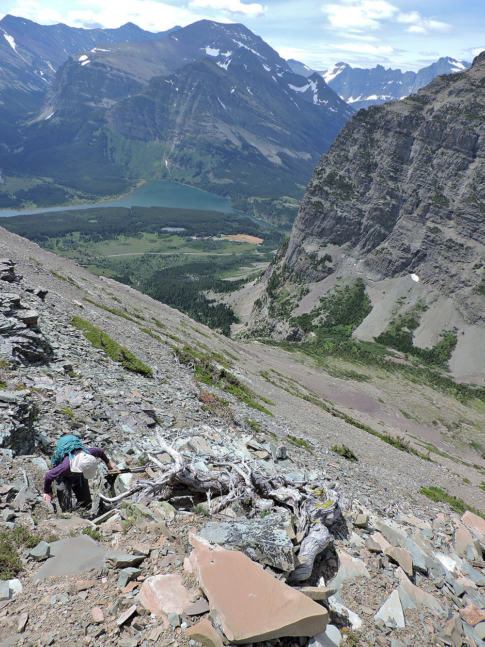
The hanging valley extends below us while Mount Henkel sits in the background
Starting up the high animal trail
We'll gain nearly 300 m on this trail
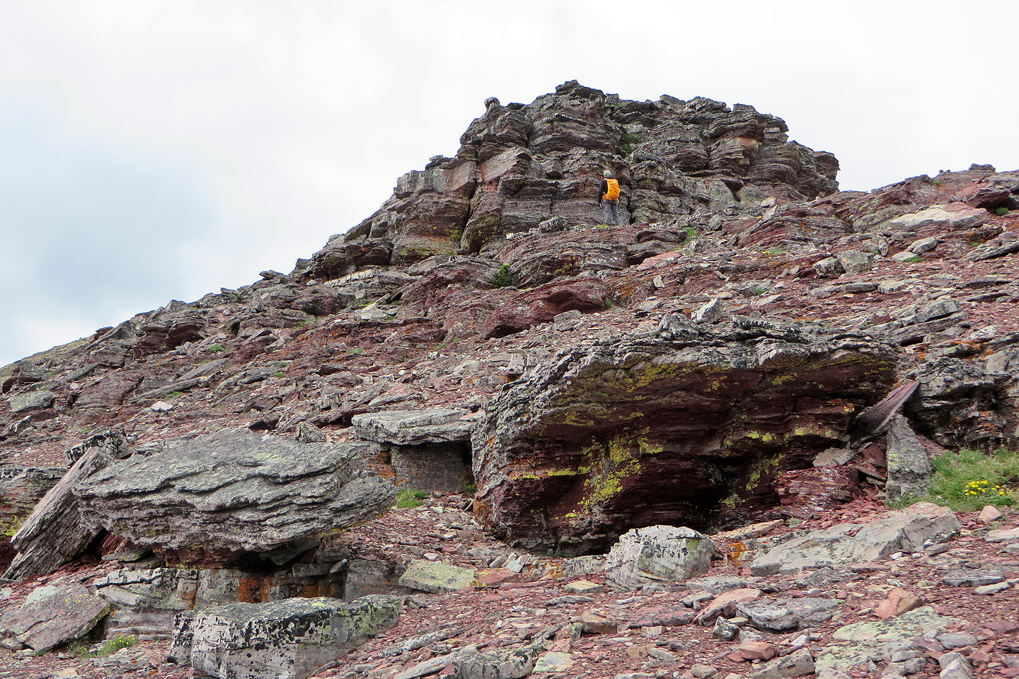
Dinah climbs up a little chute
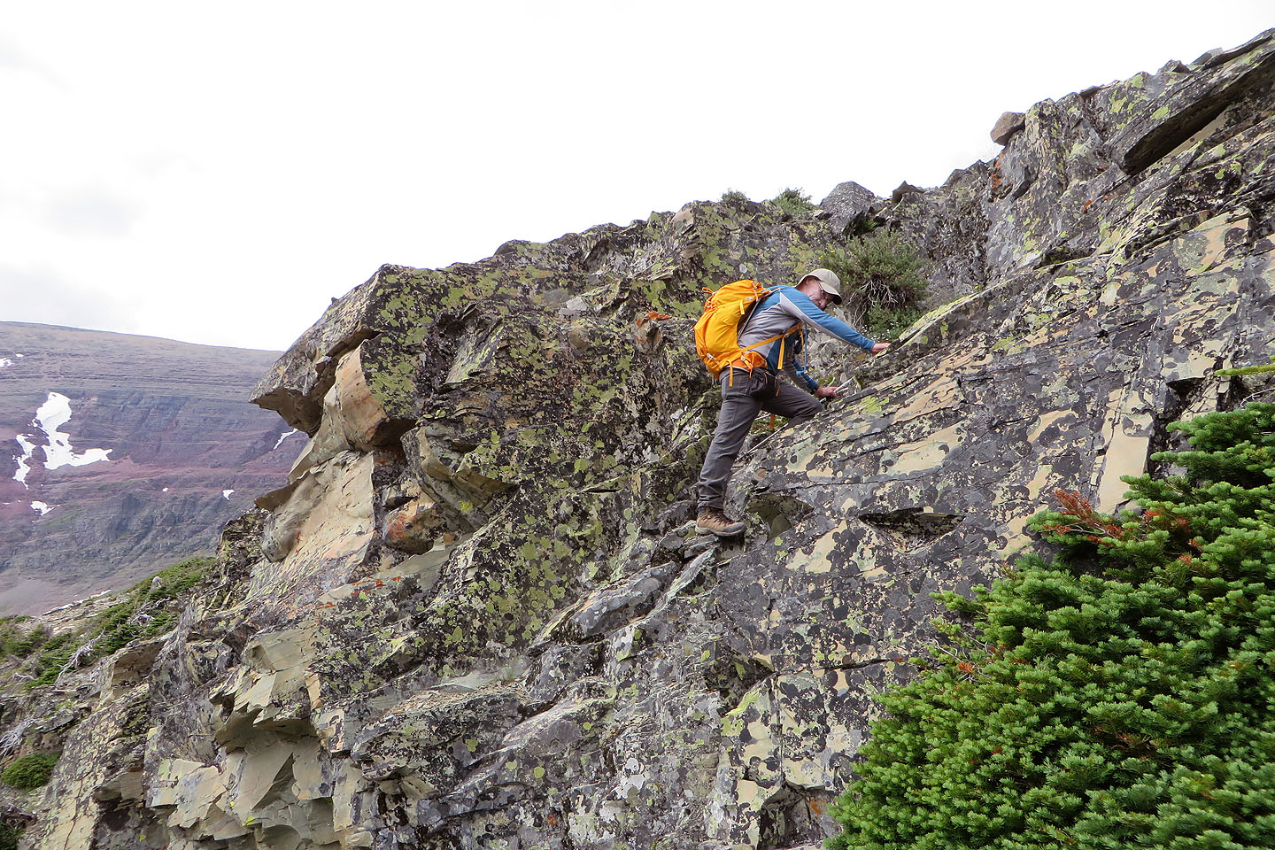
A little later, we scrambled up a short cliff band
We left the trail soon after this. Apikuni's summit is on the left.
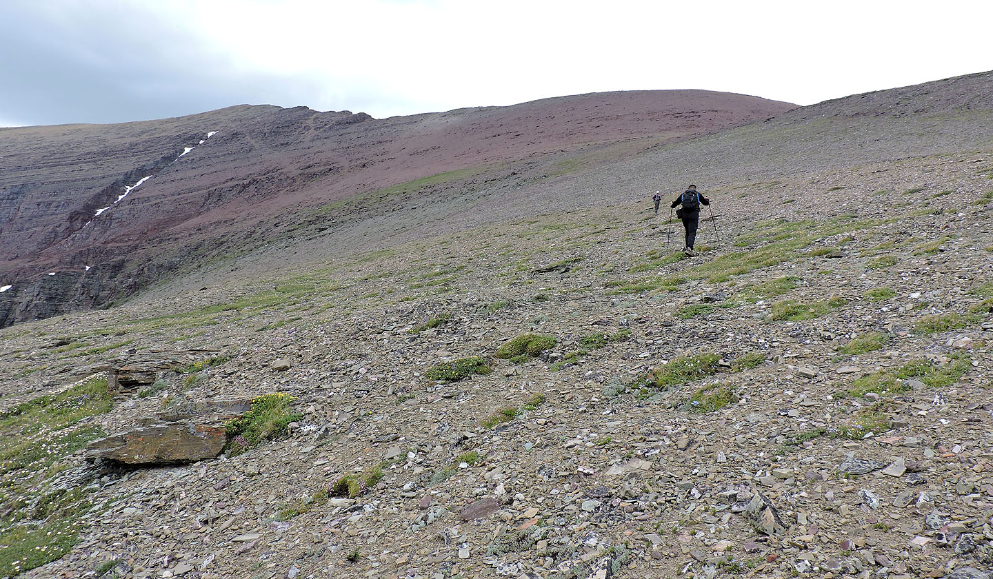
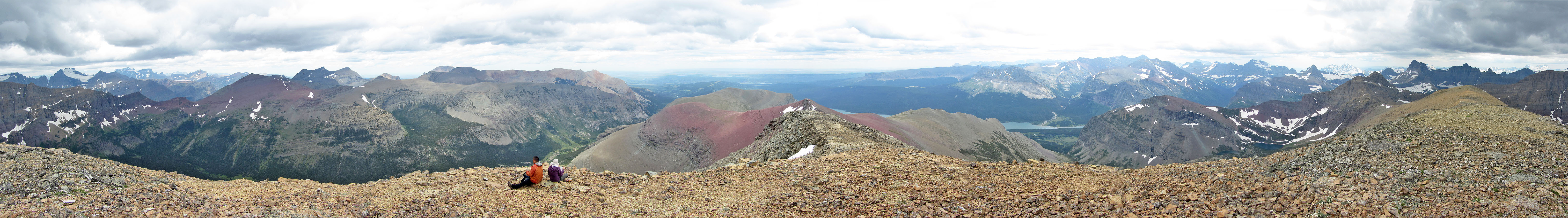
We were mere specs on the expansive southeast ridge (mouse over to look back)
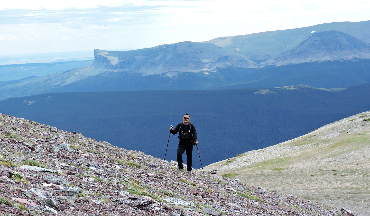
The sharp end in the background is Napi Point
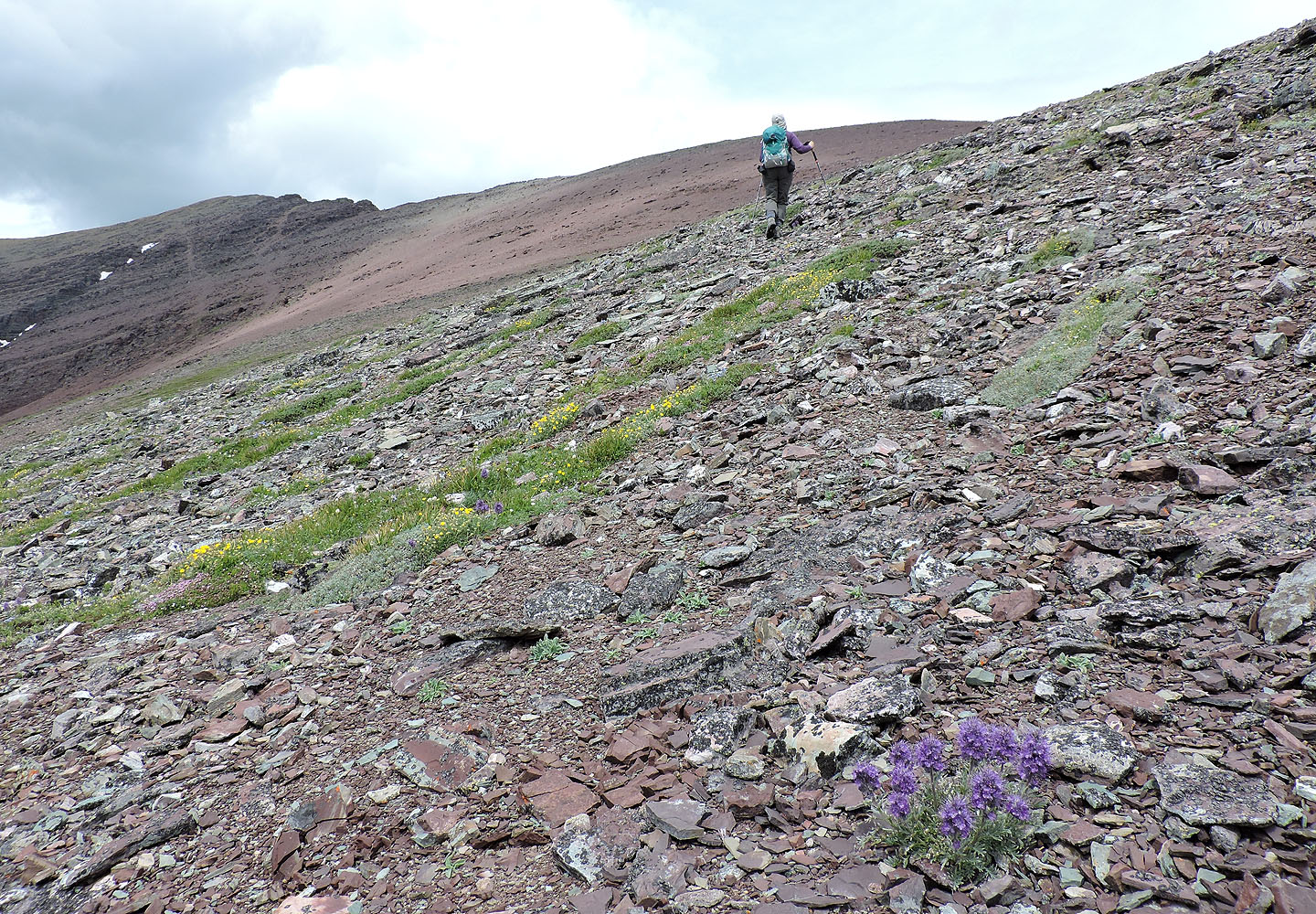
Wildflowers, such as the silky scorpionweed in the foreground (mouse over) dotted the slopes
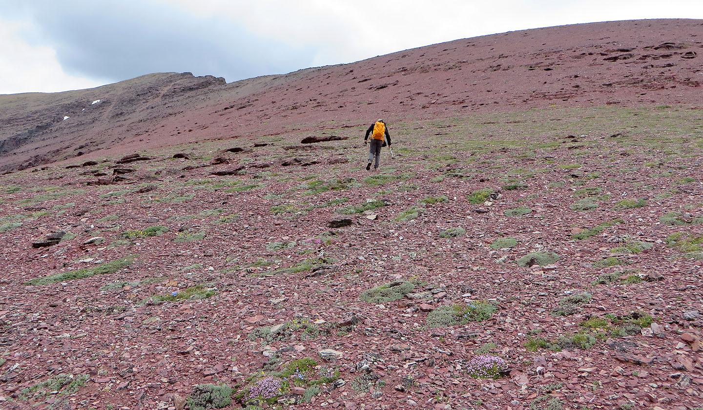
We took the red slope at an angle, aiming for the gray rocks on our left
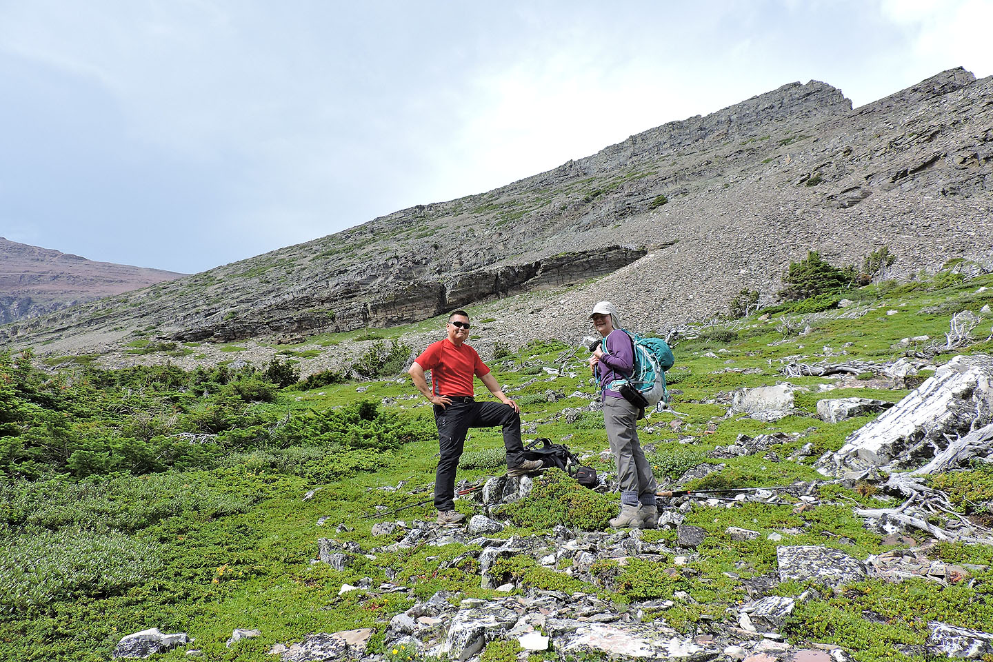
Dinah and Sonny will soon join me on the ridge
On the ridge
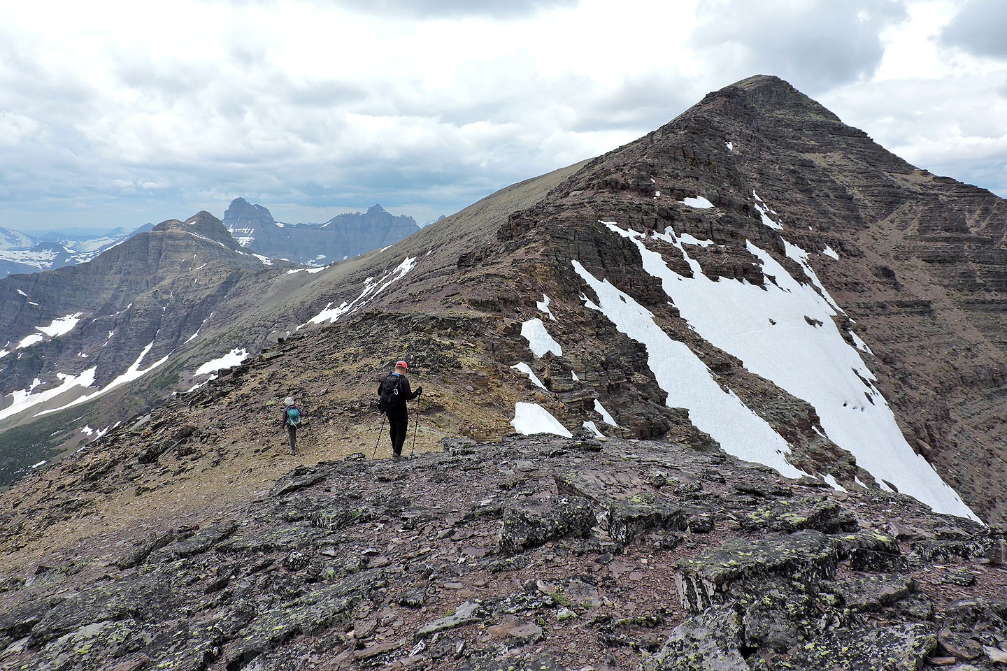
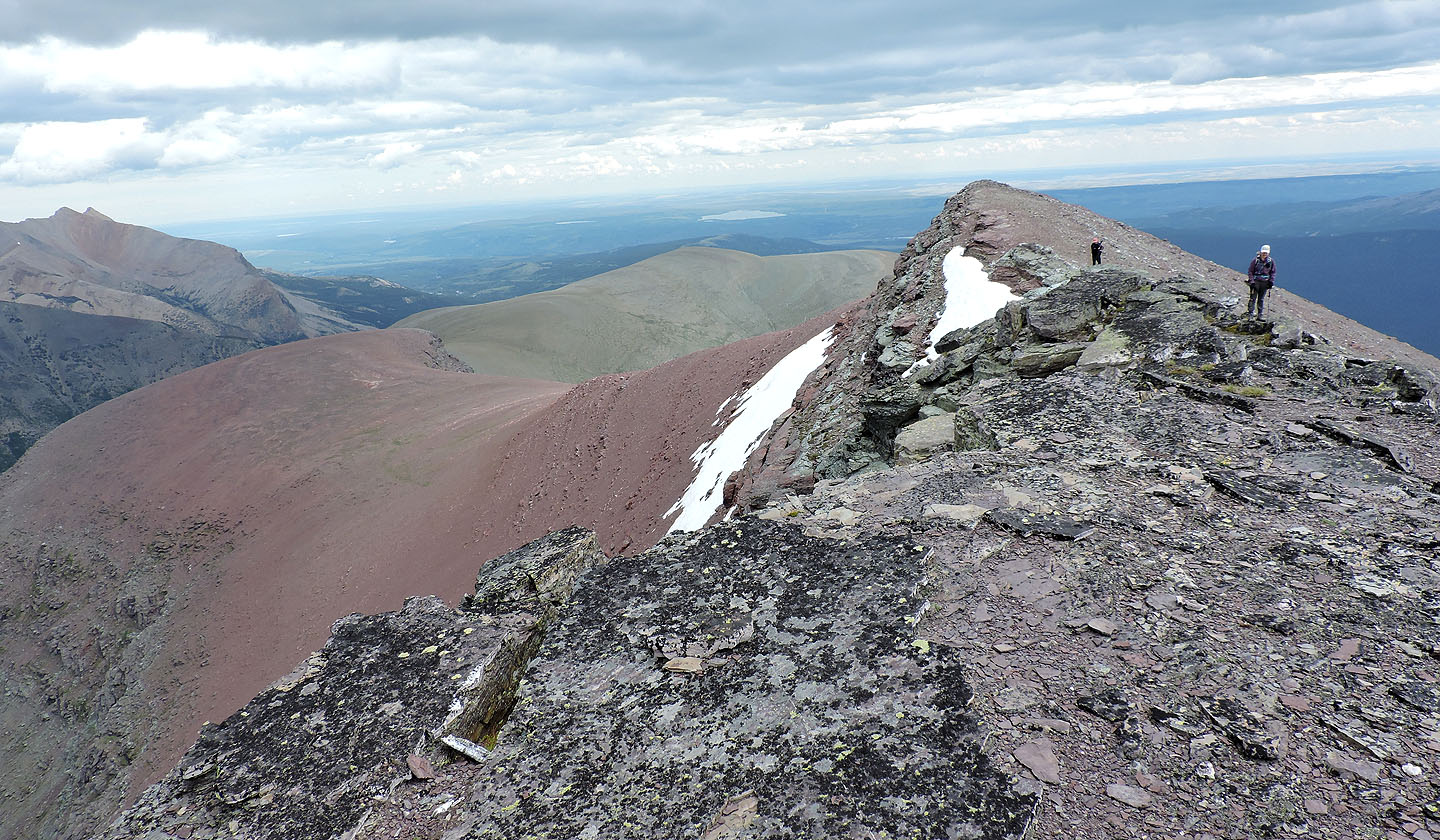
Heading to the first of a few false summits
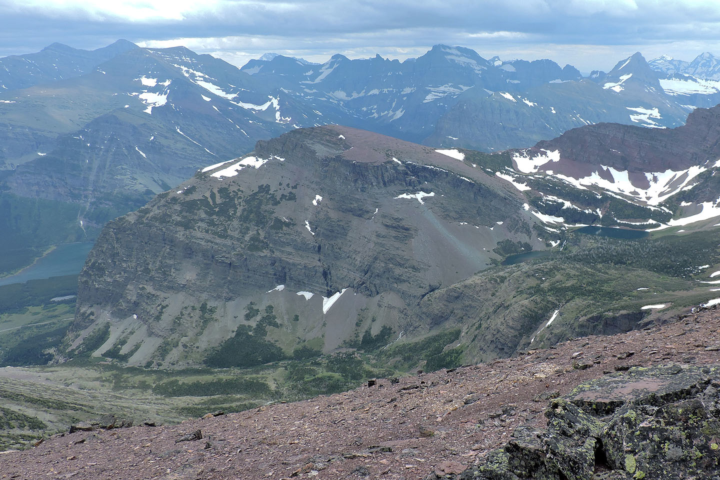
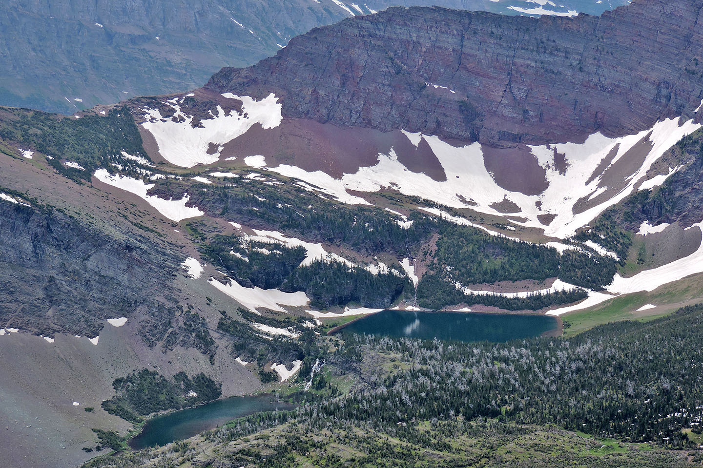
The largest of the two lakes below Altyn is Natahki Lake
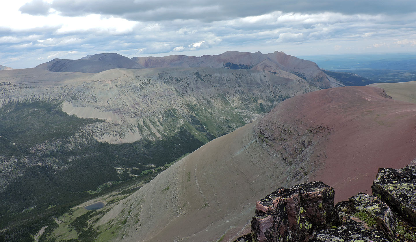
Yellow Mountain lies northeast (mouse over for a close-up)
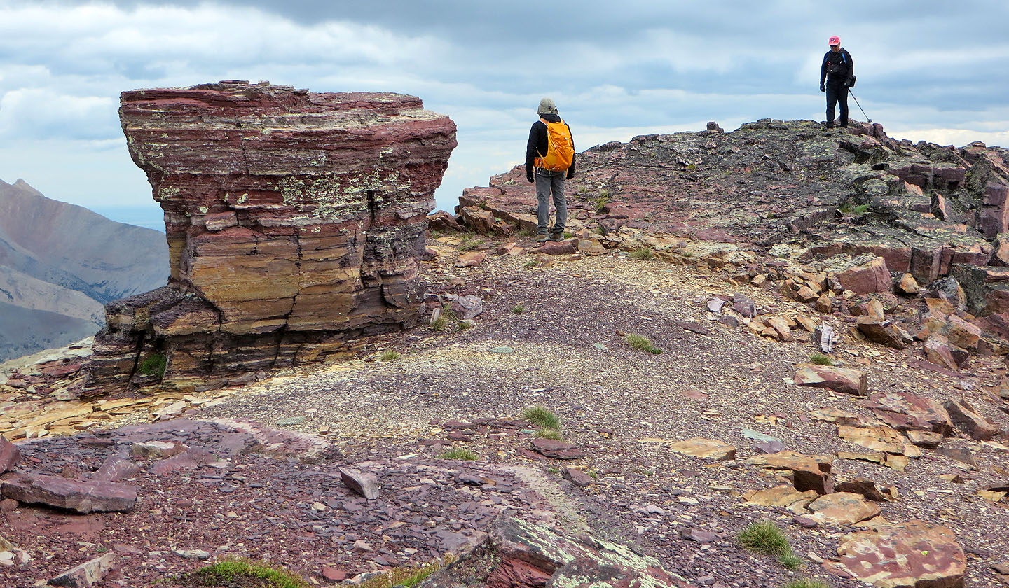
Despite overcast skies, the colourful rocks were still striking
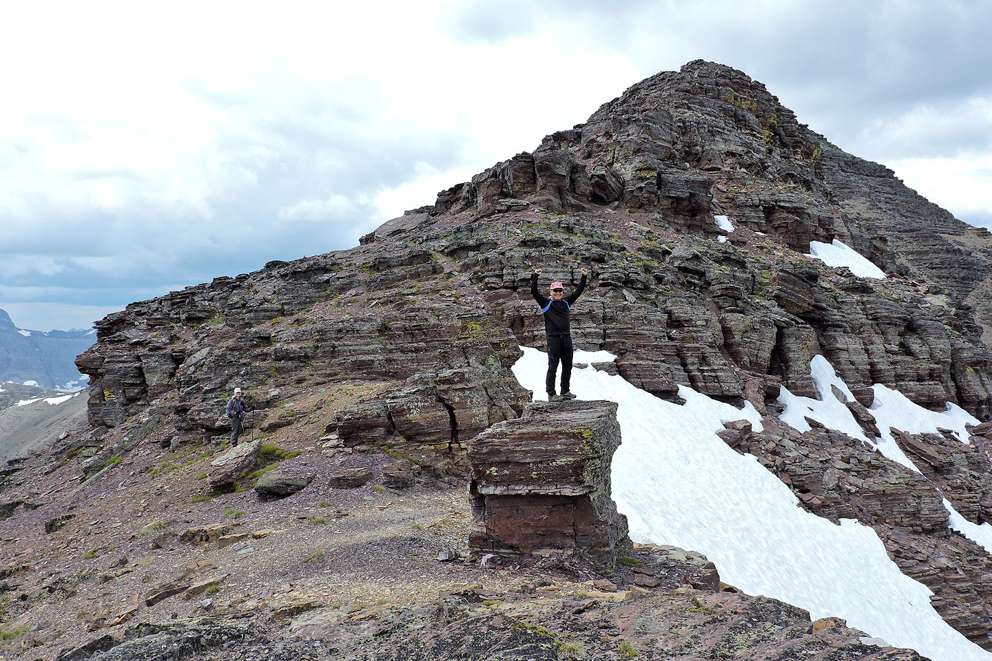
Sonny practices his summit pose
Obstacles on the ridge can be scrambled over or simply walked around
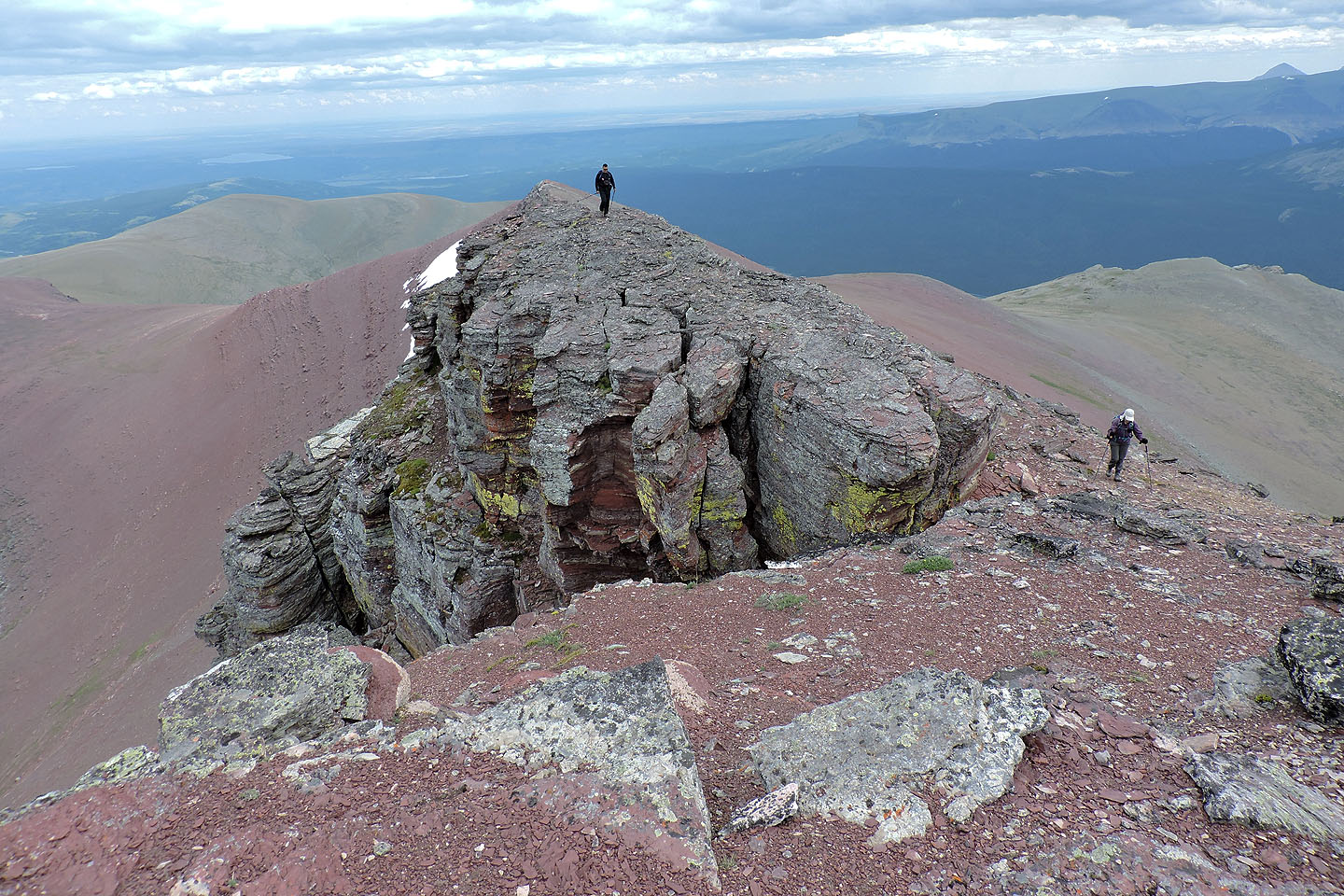
Looking back
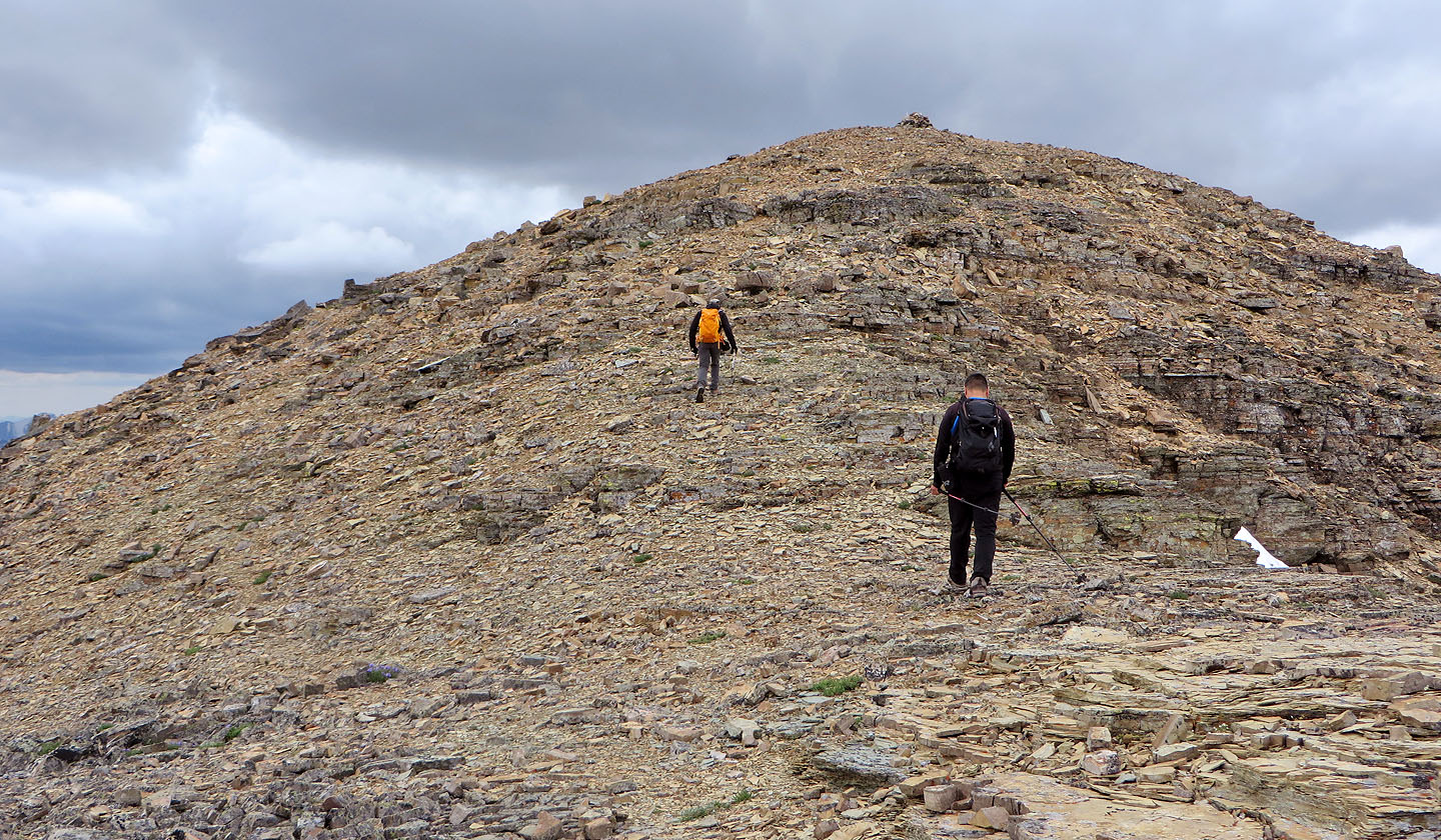
The last steps to the summit
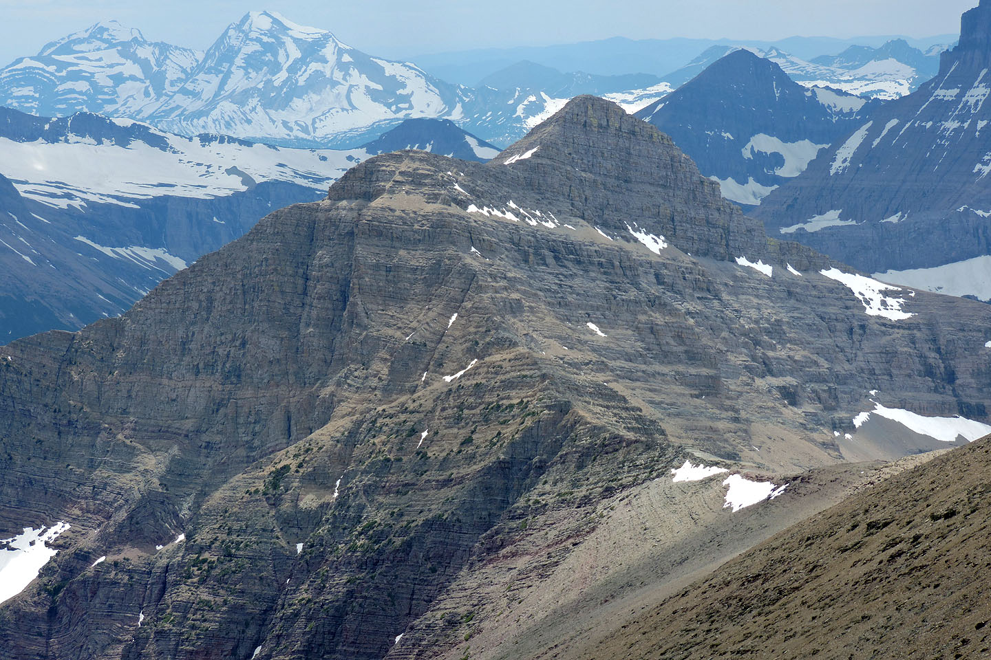
Mount Henkel
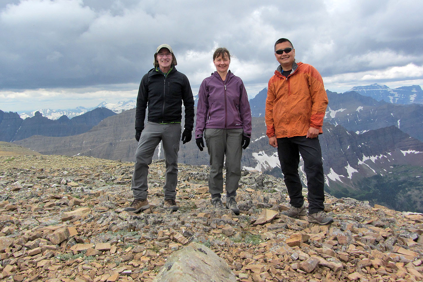
Standing on top of Apikuni Mountain
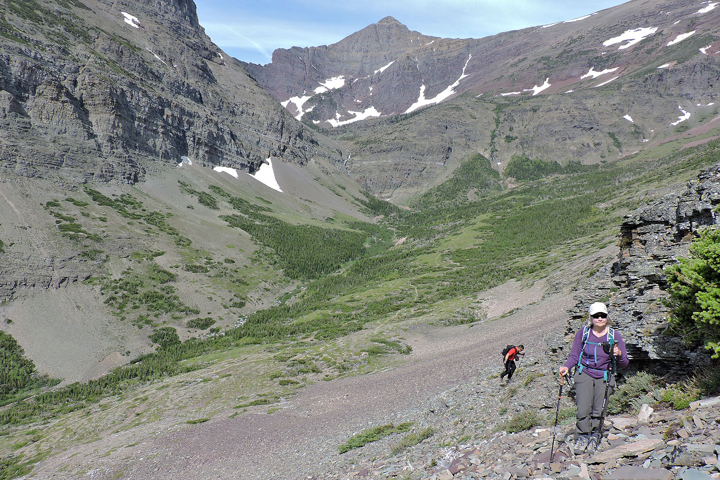
Coming down the scree slope
Back in the basin where we started our climb
Many Glaciers (6.8 mi, 9065 ft, 4144 ft)