bobspirko.ca | Home | Canada Trips | US Trips | Hiking | Snowshoeing | MAP | About

Eagle’s Wing Ridge
Grand Junction, Arizona
May 4, 2024
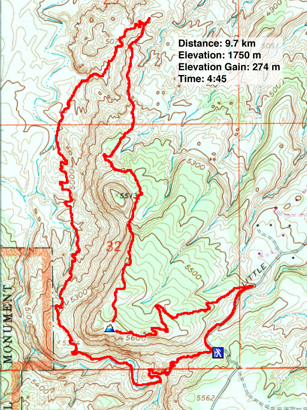
Distance: 9.7 km (6.0 mi)
Cumulative Elevation Gain: 354 m (1161 ft)
I had my doubts about a loop that runs from Andy's Loop Trail, up Eagle's Wing Trail and down Lunch Line Trail. It appeared more popular with mountain bikers than with hikers. And doing it on a weekend, I feared speeding bikes would overrun the trail. But when I looked down Andy's Loop and saw an inviting valley, I forgot my unease and looked forward to seeing the desert wonders below.
After starting down, Dinah and I soon encountered mountain bikers coming up. None appeared endeared with the rocky, rugged trail, saying they did more hiking than riding. I was now certain we would enjoy the trip.
We followed the path down to the valley. We passed a small opening in the rocks but didn't enter. But further along, we stopped to inspect a large cave. To our surprise, it connects with the first opening, a 30 m shortcut tunnel!
The trail eventually reaches the valley, but it doesn't linger there. Instead it inexplicably climbs partway up the right side before returning to the valley bottom. The next sections were particularly scenic. Andy's Loop turns to venture up a colourful little valley. It then climbs a ridge to intersect Eagle's Wing Trail. We turned onto Eagle's Wing. Here we found a good view of the ridge ahead. I found no references to the ridge but took the liberty of calling it “Eagle's Wing Ridge.”
We followed the trail over rocky terrain, through juniper forests, and over false summits before attaining the top of the ridge. There we enjoyed a 360° view. We had the summit to ourselves, probably because mountain bikes aren't allowed on the trail here.
After the summit, Eagle's Wing Trail hits Free Lunch Trail. The meandering trail was long and boring, but we followed Lunch Line to its trailhead and walked back along the road to our car. After studying satellite imagery later, I noticed shorter trails we could have taken.
Of the few hikes we did around Grand Junction, Eagle's Wing Ridge packed the most scenery and was our favourite. But look for alternative paths for Lunch Line!
 Starting down Andy's Loop. Eagle's Wing Ridge is above.
 Going down to the valley
 Looking back from a switchback
 I entered the tunnel and Dinah soon followed
 Inside the tunnel (Mouse over to see the exit)
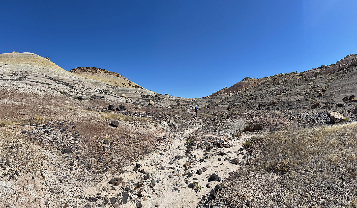
 We're still well above the valley
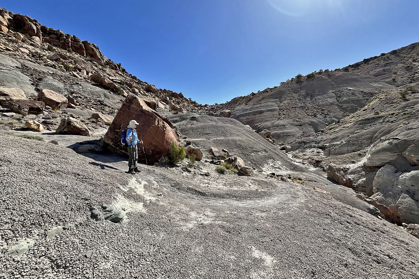
 Dinah appears tiny in the centre as she reaches the bottom. Mouse over for her view looking back.
 The trail climbs the slope ahead
 Looking back as the trail climbs
 The trail continues ascending
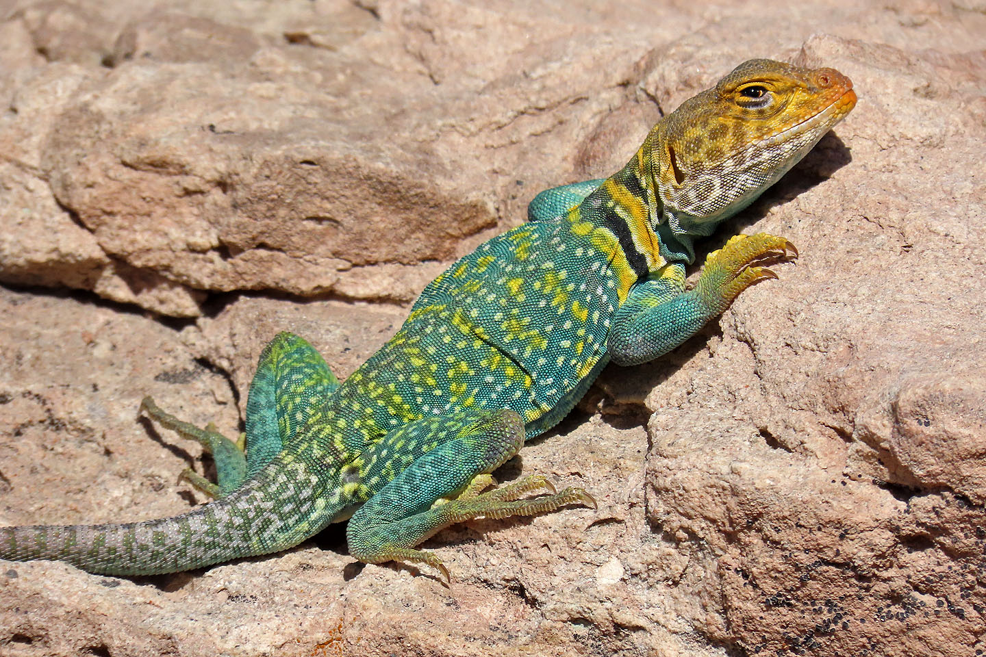 The first of two male eastern collared lizards we saw (mouse over to see its full length)
 Rock wren
 Painted stones lay scattered by the trail for some reason
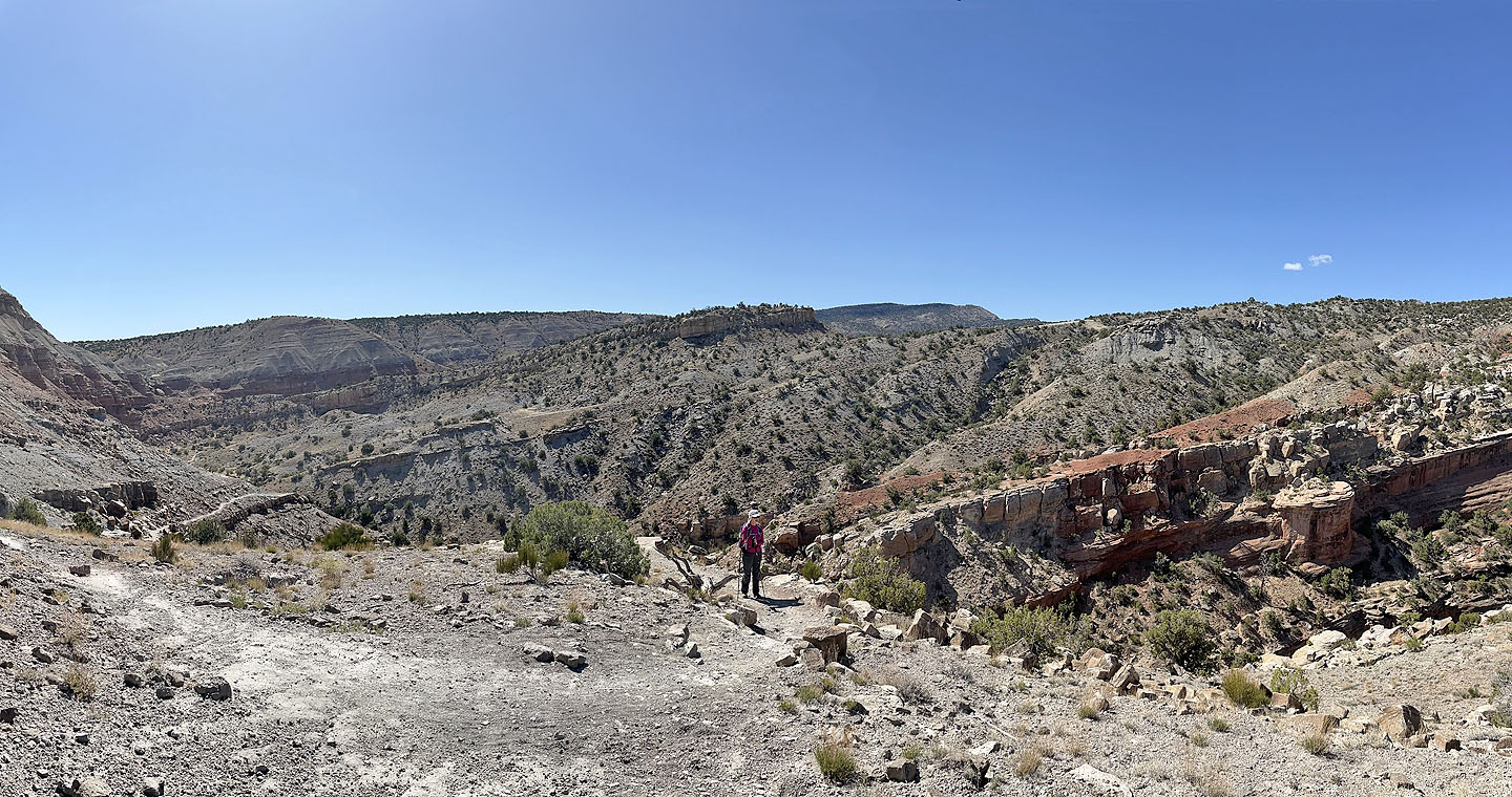
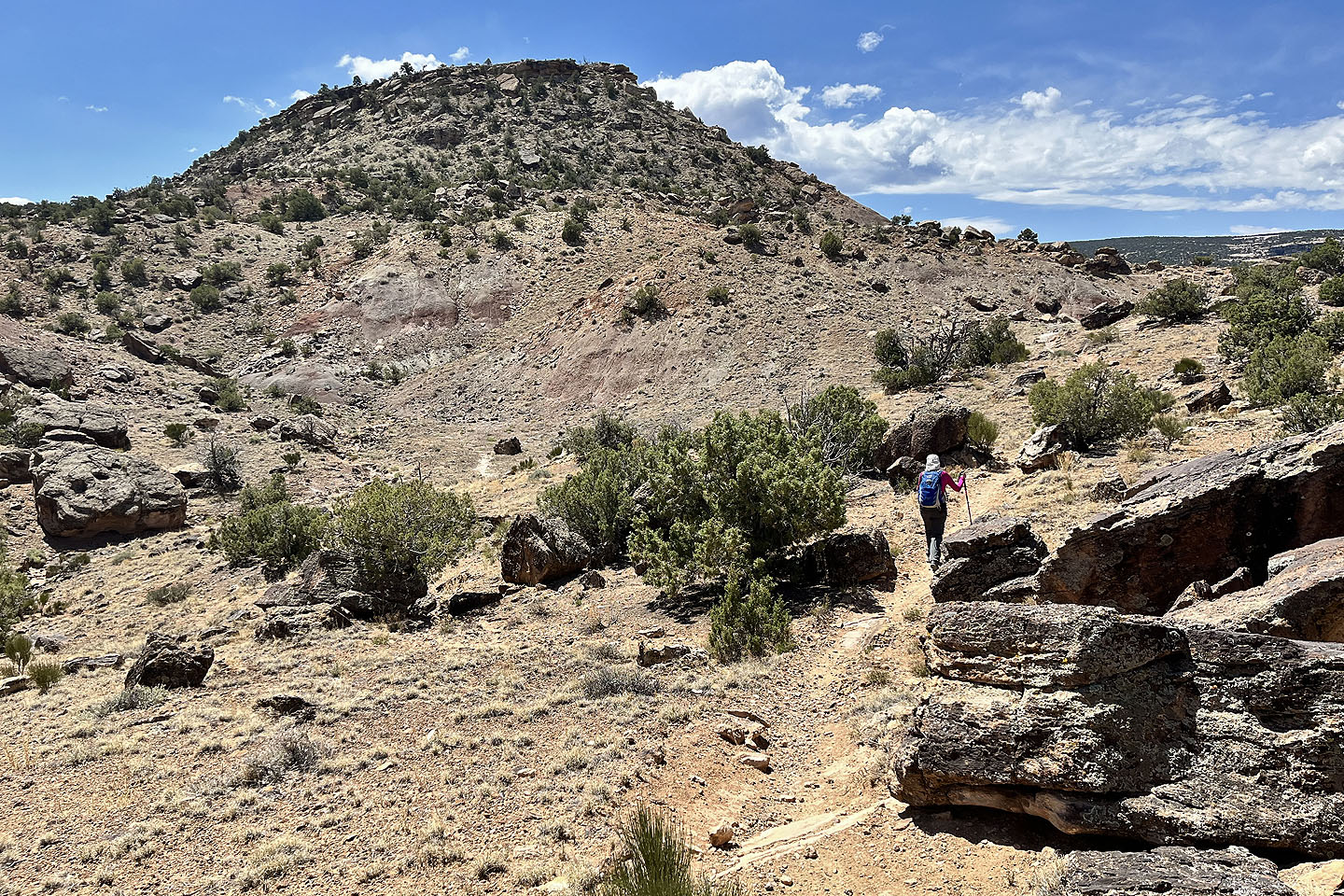
 Eagle's Wing Ridge towers above us
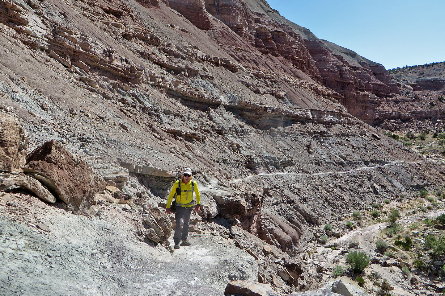
 The trail begins a long descent
 Looking back up the trail
 The trail turns right
 The western whiptail lizard is recognizable by its super long, thin tail (mouse over)
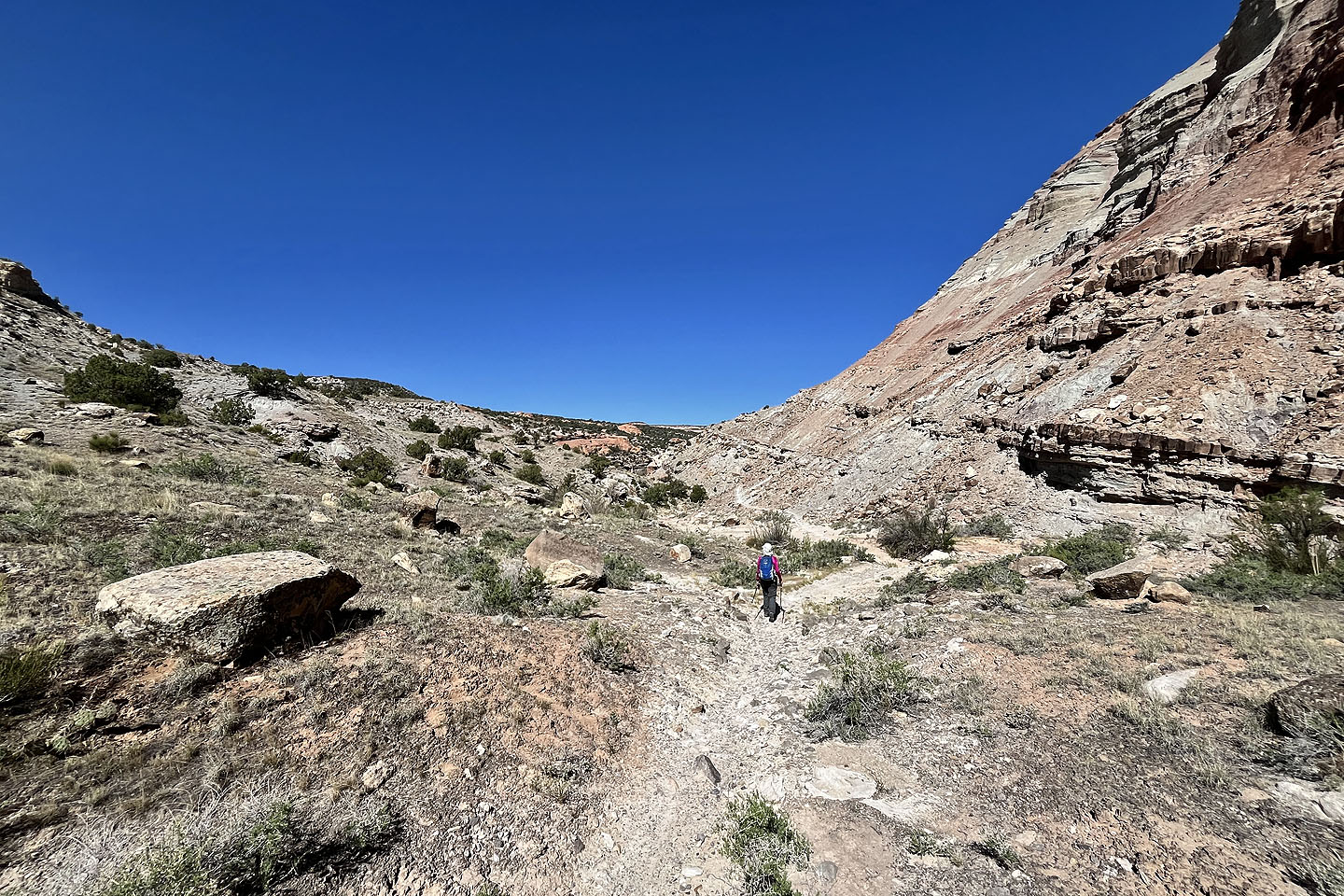
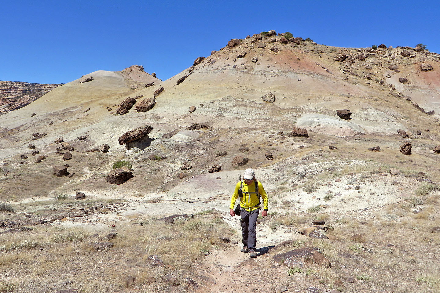
 The trail ascends a scenic little valley
 Looking back as we neared the end of the valley
 The trail continues up the slope ahead
 Looking back from near the top
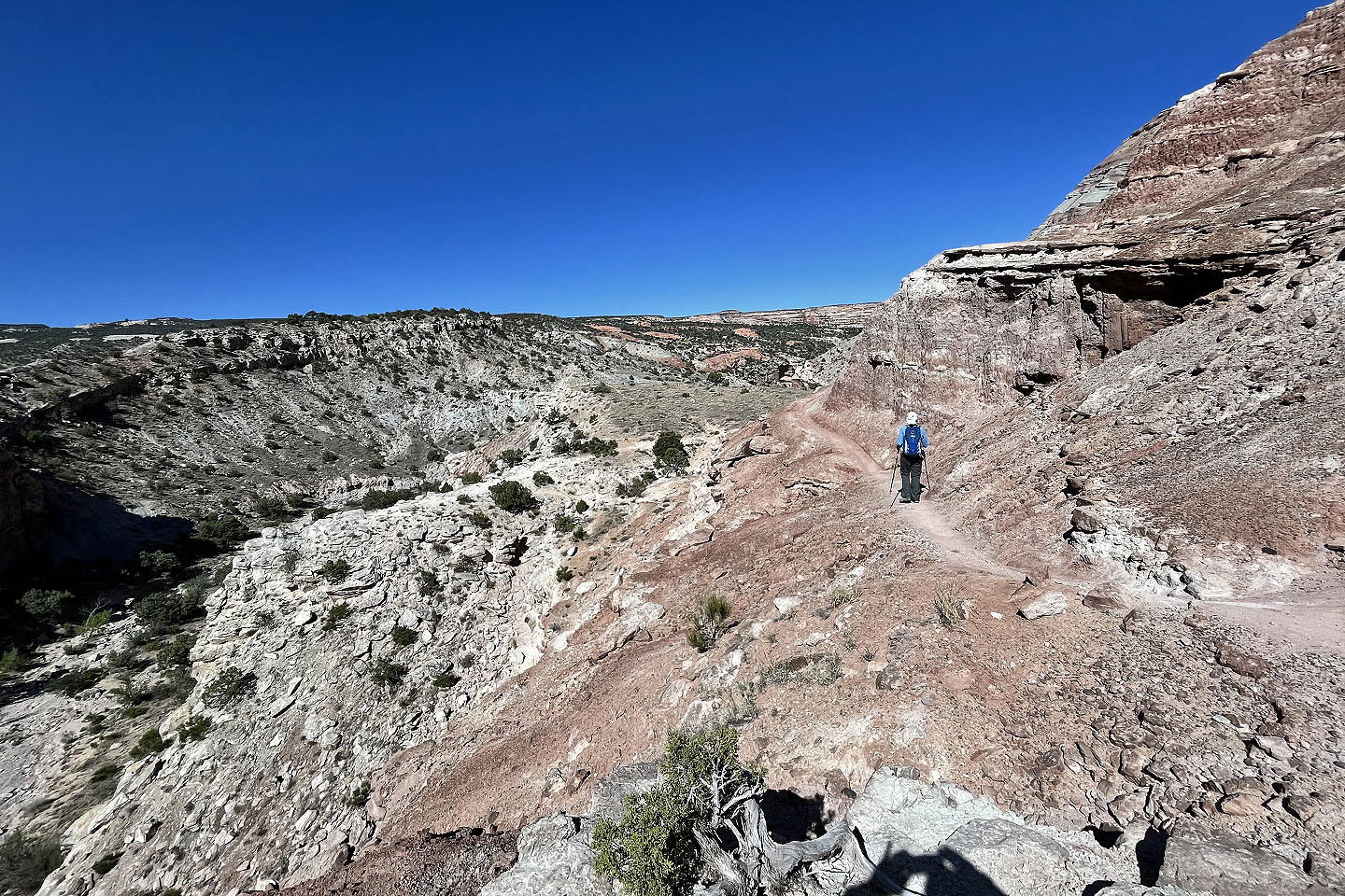
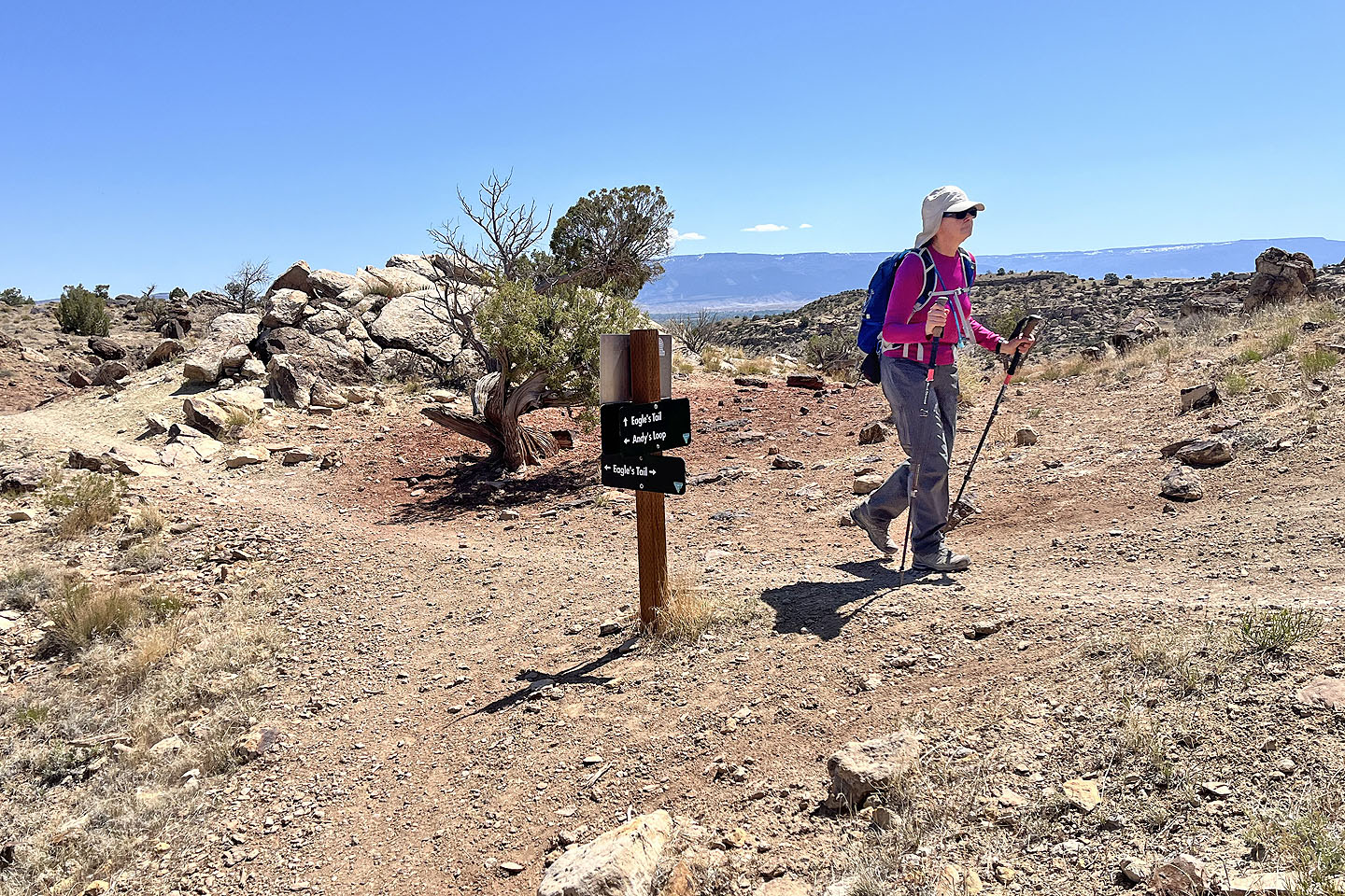 Andy's Loop ends at Eagle's Wing Trail
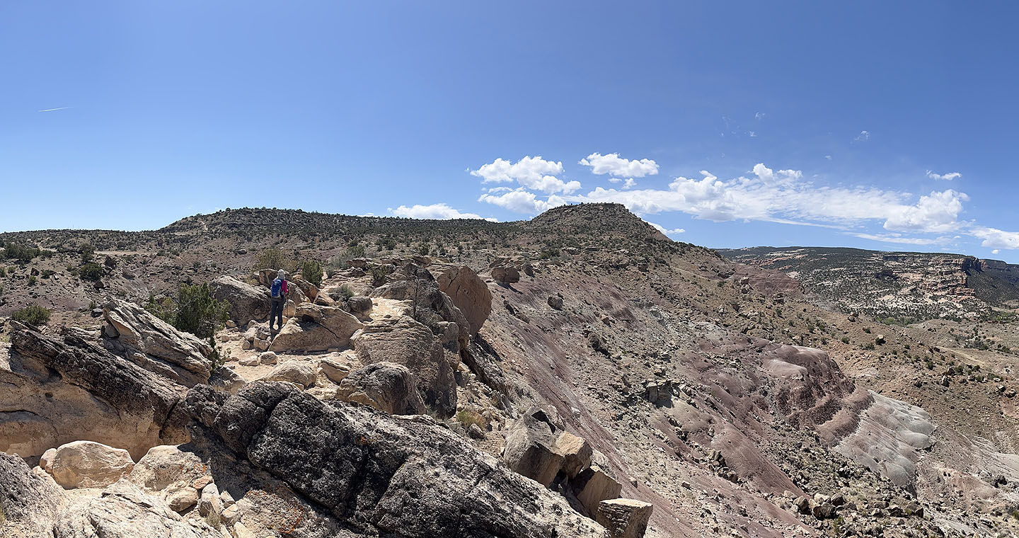 A false summit hides the true summit of Eagle's Wing Ridge
 The trail can be see ahead, left of centre
 The second collared lizard
 High Noon Trail goes left, but we continued on Eagle's Wing
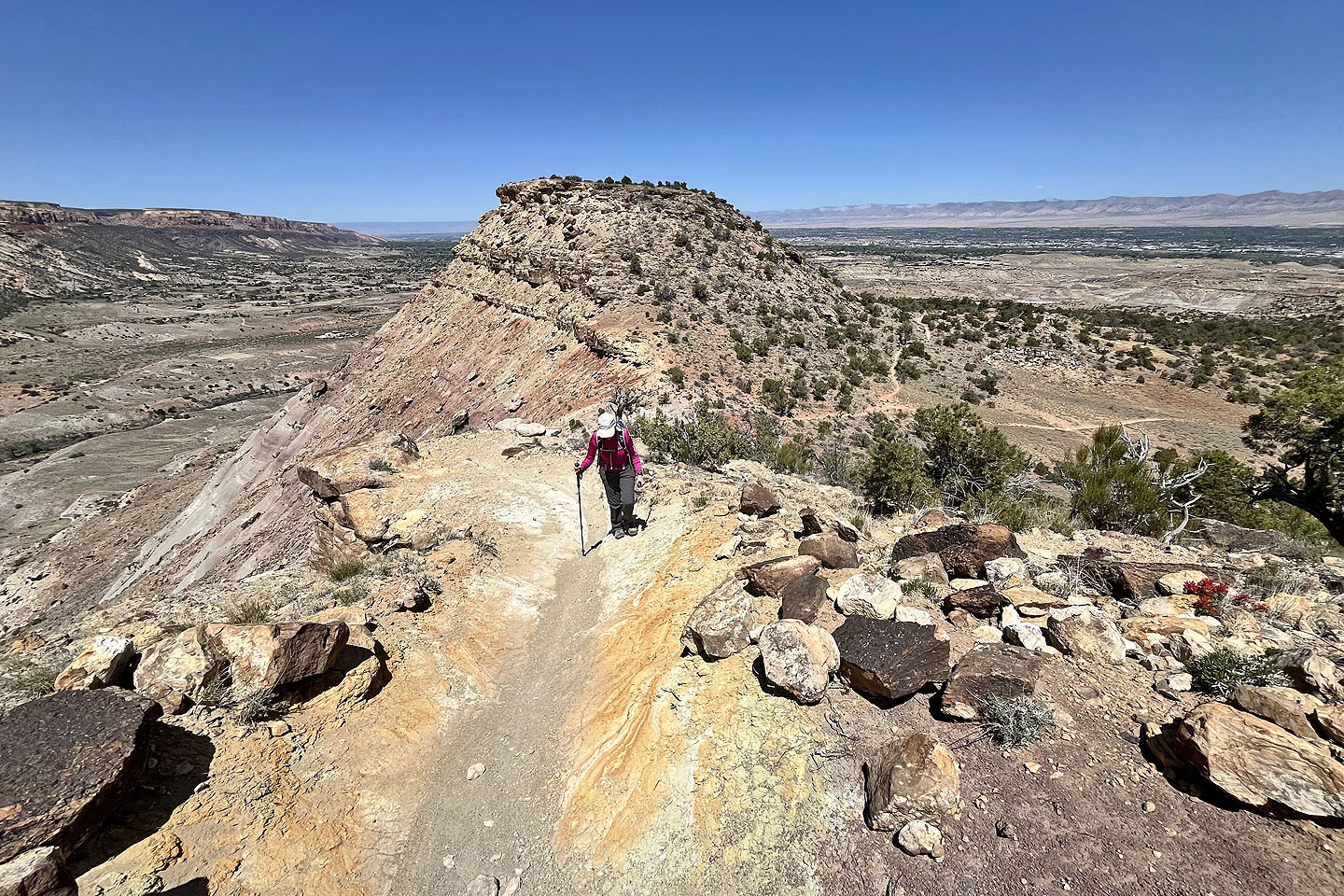
 The trail curls left around the false summit ahead
 Grand Junction appears in the background
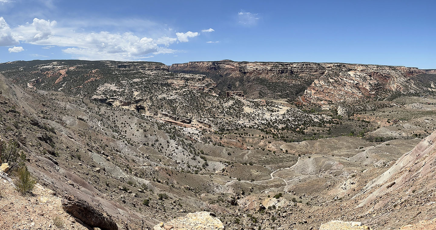 Looking down at the valley where we had been earlier
 Looking back at the false summit
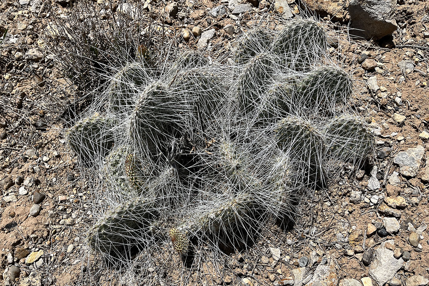 Grizzlybear cactus
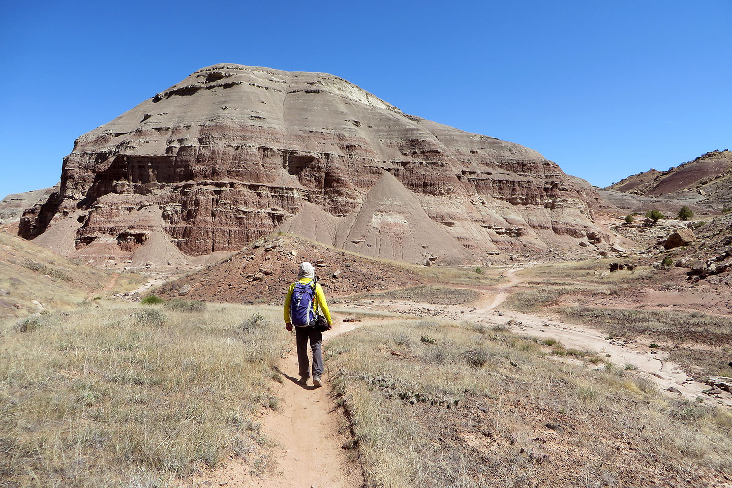
 The summit finally came into view
 Colorado National Monument lies west
 On the summit
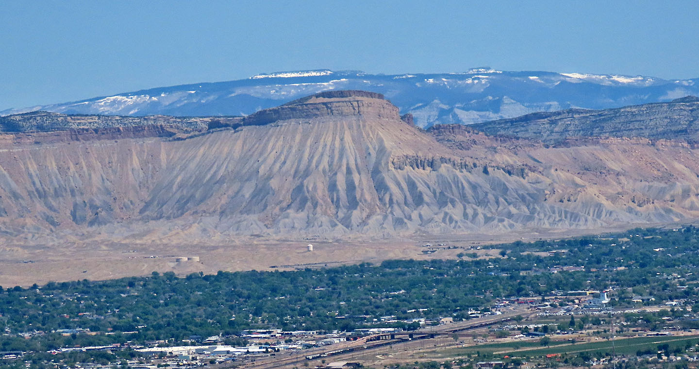 Mount Garfield lies 20 km northeast. We climbed it the day before.
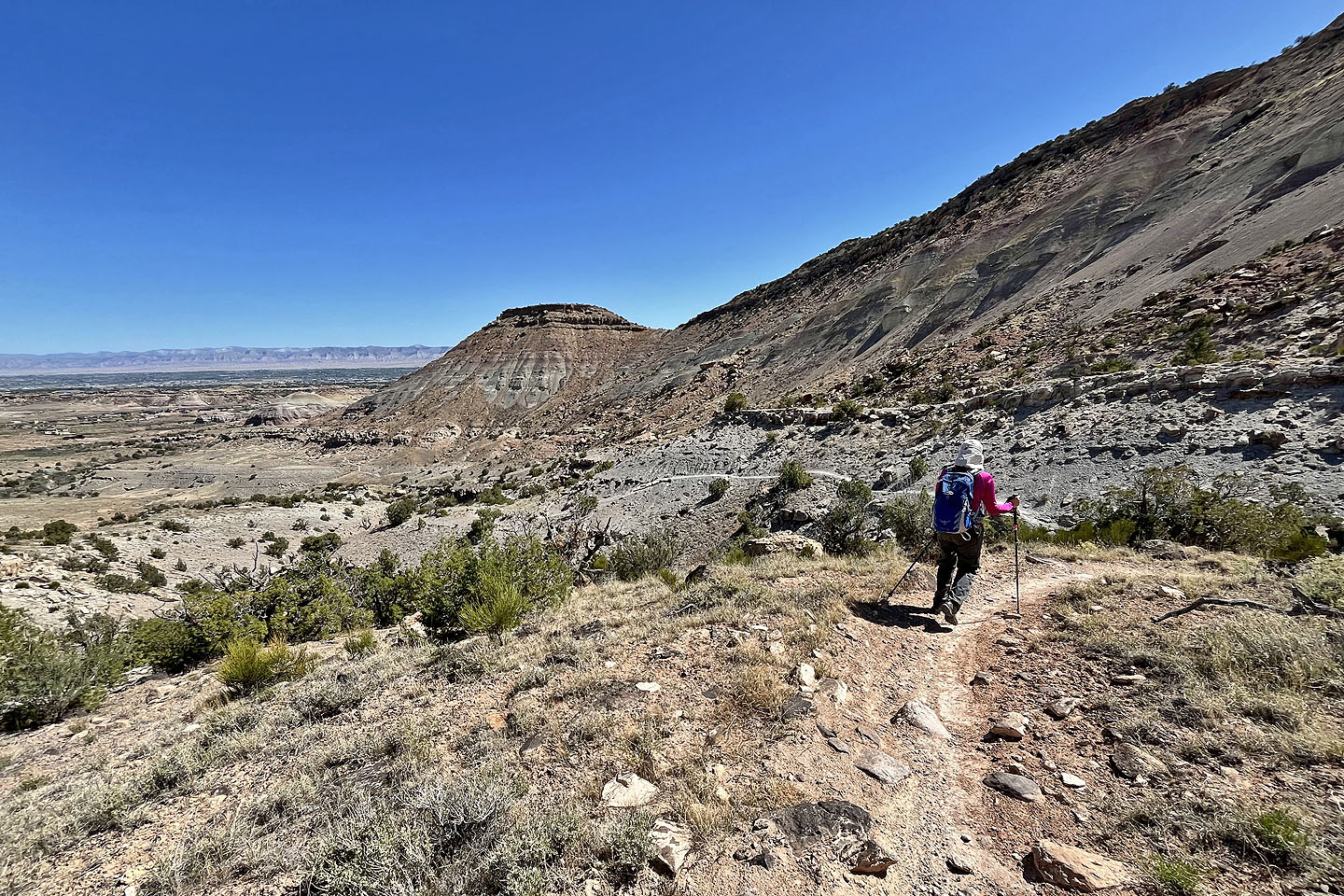
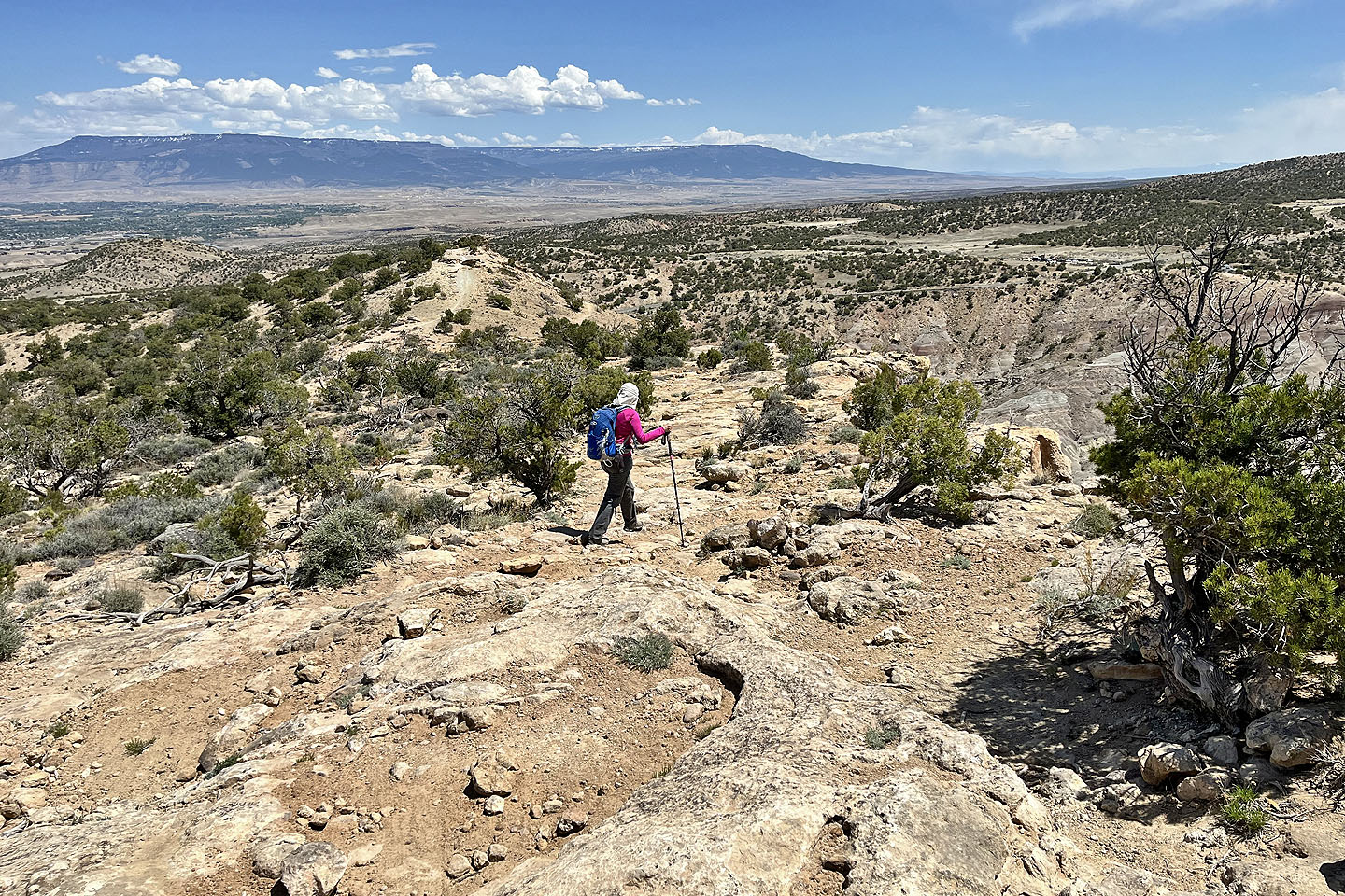 Heading down Lunch Line Trail. In the background is Grand Mesa, the largest flat-top mountain in the world.
 Far below on the right is our car (mouse over). We followed Lunch Line which is a long, meandering bike trail.
 Lunch Line offered few views because of trees
 We reached the end of the trail and followed the road most of the way back
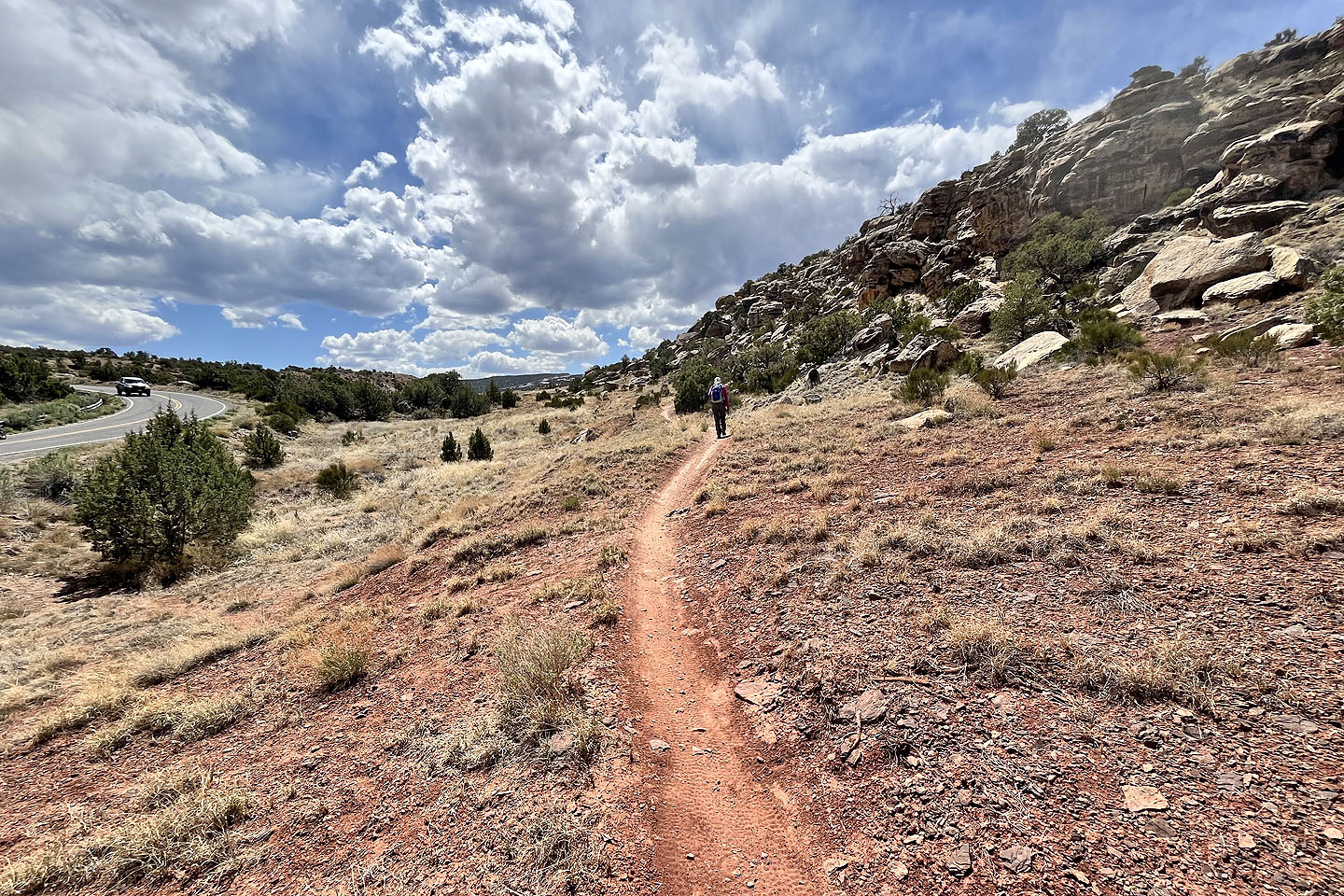 Mercifully, the last 250 m to our car was on a trail
Grand Junction (6.0 mi, 5741 ft, 899 ft)