bobspirko.ca | Home | Canada Trips | US Trips | Hiking | Snowshoeing | MAP | About

Mount Garfield
Palisade, Colorado
May 3, 2024
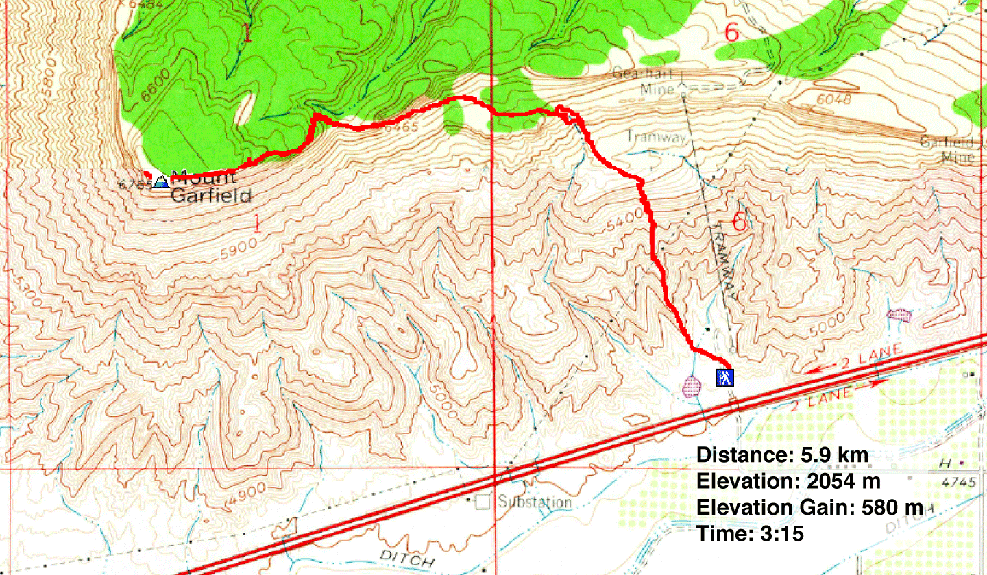
Distance: 5.9 km (3.7 mi)
Cumulative Elevation Gain: 591 m (1939 ft)
Seen from the highway, Mount Garfield appears formidable, but a popular hiking trail runs to the summit. The trailhead is just 20 minutes from Grand Junction.
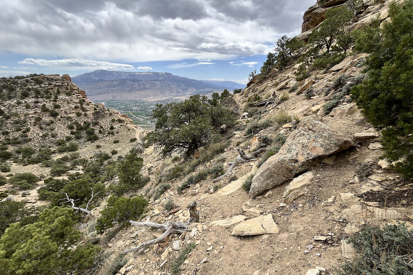
Soon after starting, the trail begins climbing a narrow spur. Dinah followed me but soon turned around as it was too steep for her bad knees. I continued up, following the trail as it skirted huge boulders. The spur disappeared into a rocky slope, but the trail continued its relentless, steep climb. It suddenly levels off on a small, grassy plateau before resuming its climb. It hits a second plateau, this one larger and strikingly beautiful. After meandering through a meadow on the plateau, the path angles up a slope. The next section was particularly notable. The trail runs on black scree against an impressive brown cliff. With a steep slope on the left and a rock wall on the right, the narrow path sometimes left little room.
When the cliff ends, the trail turns onto a saddle and climbs up a rocky slope. Here, the way up becomes puzzling. Spurious trails branch left and right, but the route is straight up a steep, rocky slope. There's no trail and no cairns, but it is a steep hike. Beyond that, there's a short hike up a slope and a long walk up a gentle grade. A metal pole marks the summit. After looking around, I headed back down. The hike held fine scenery, and I looked forward to seeing it all again before I returned to the parking lot.
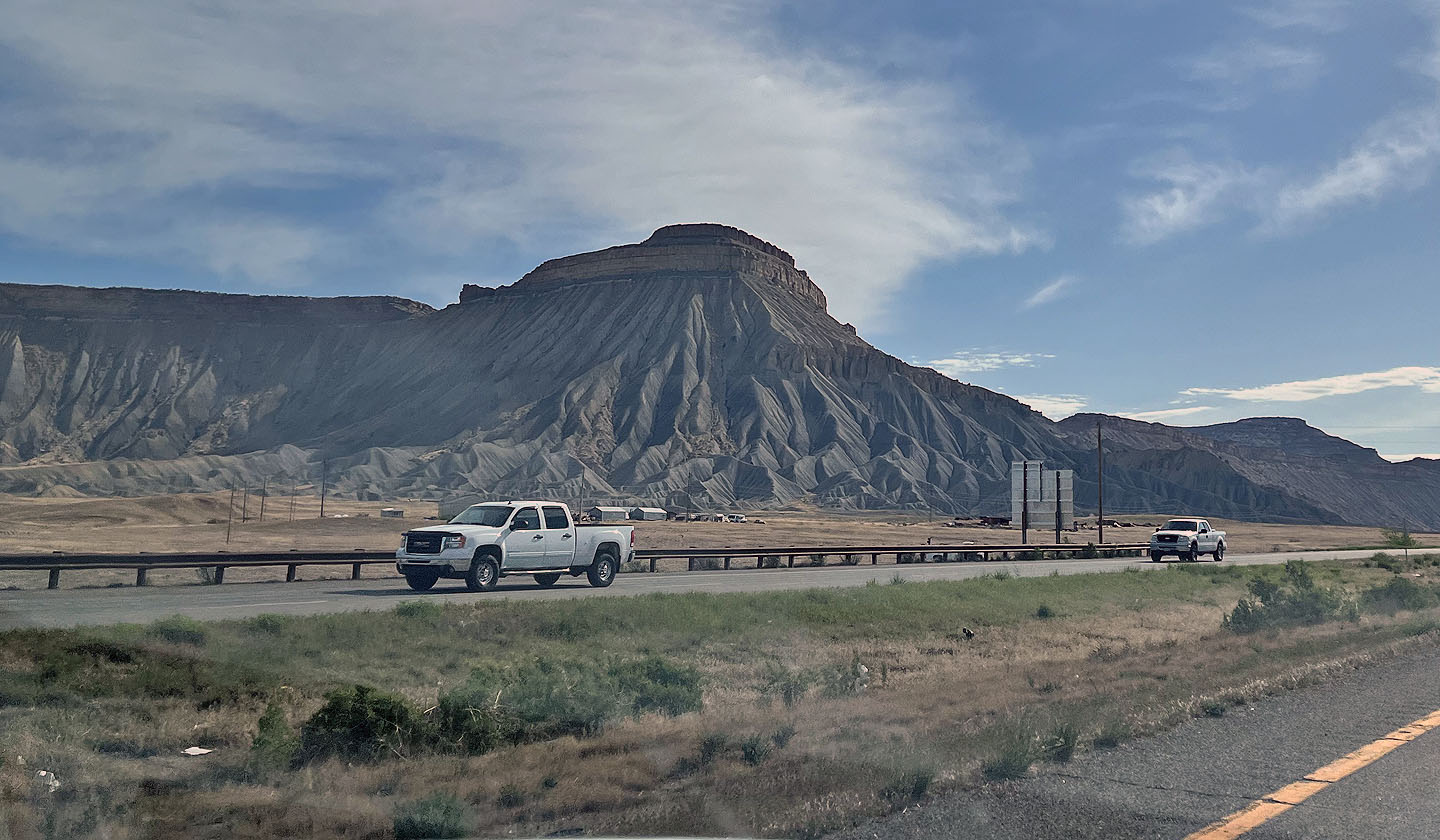 Mount Garfield seen from the highway
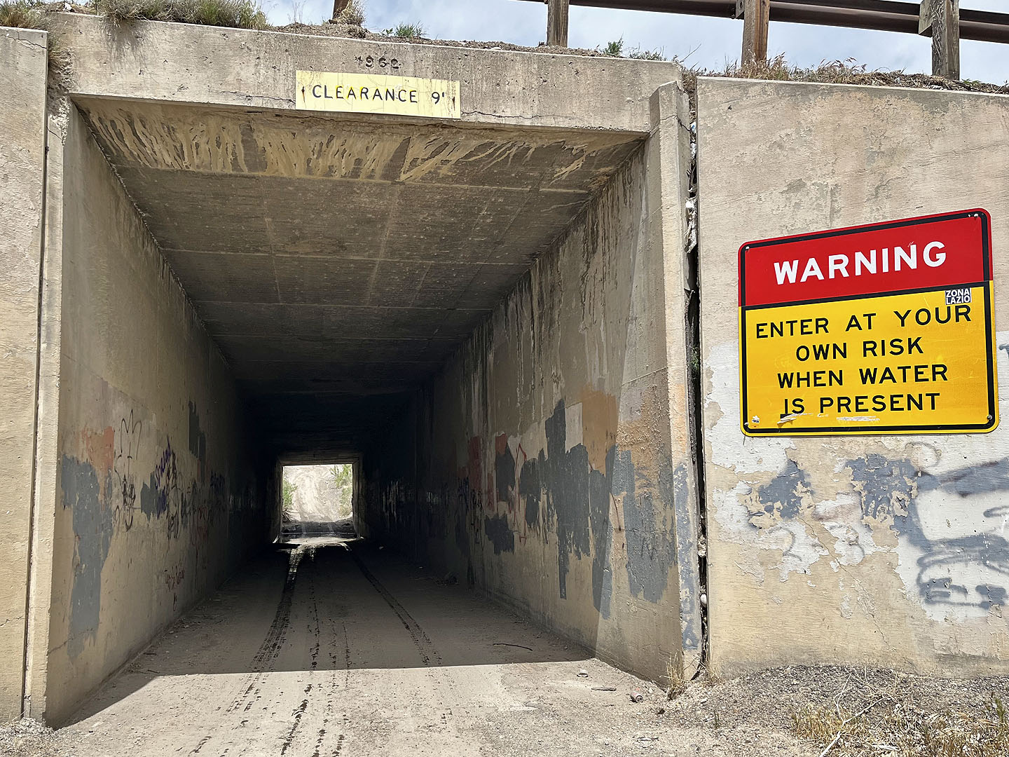 A tunnel under the highway leads to the parking lot
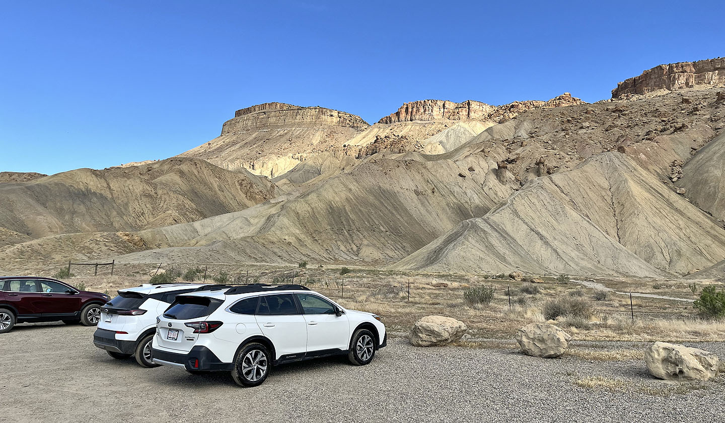 The trail runs up the spur on the right. Mount Garfield is left.
 The base of the mountain was once the site of a coal mine
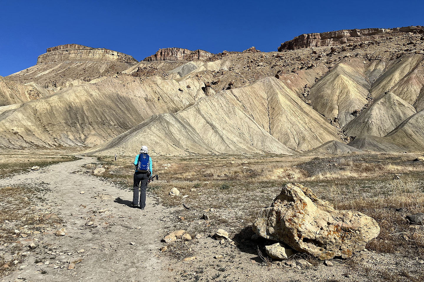 We followed the trail up the spur
 It's steeper than it looks
 The trail runs around boulders
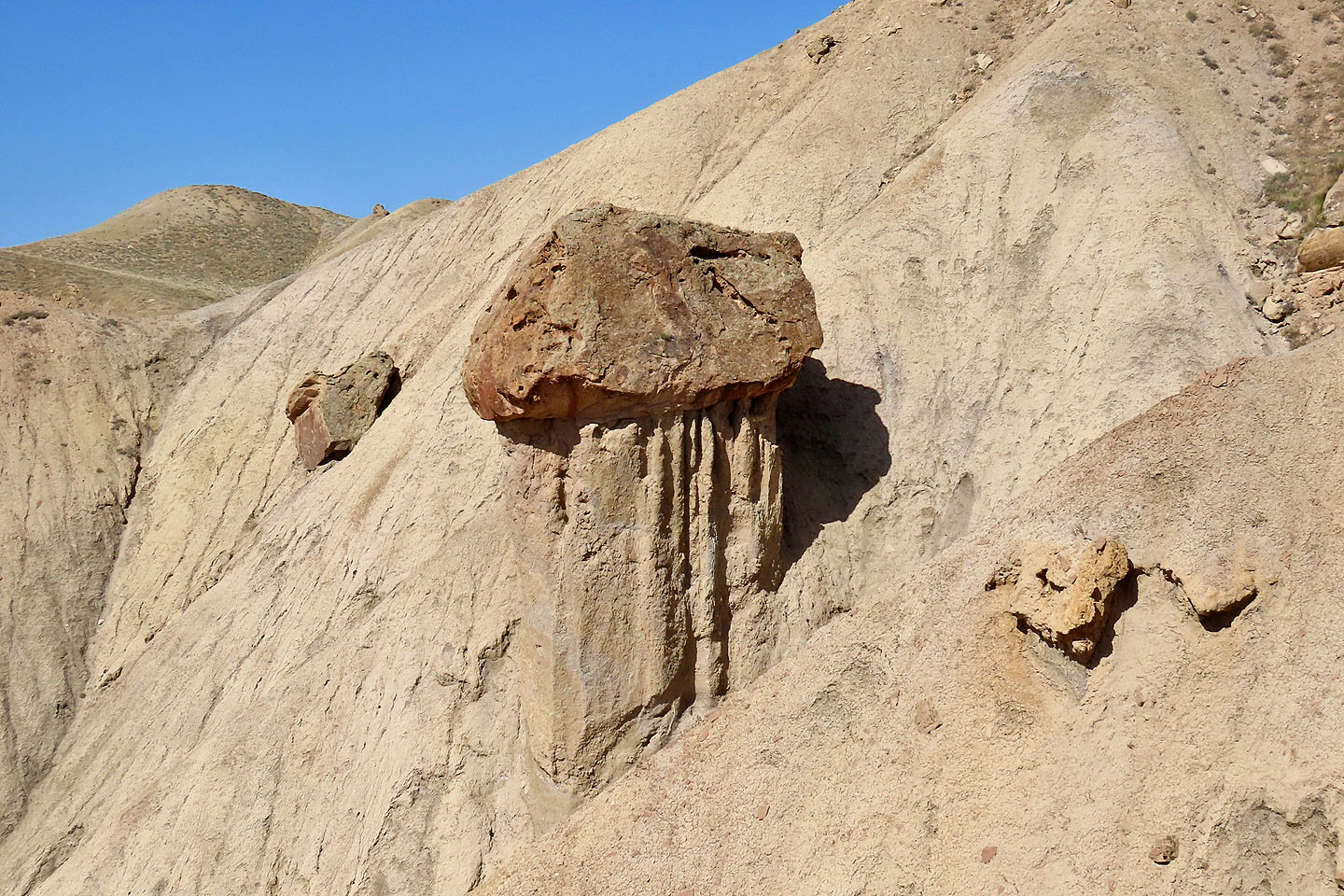 A boulder sits on its own platform
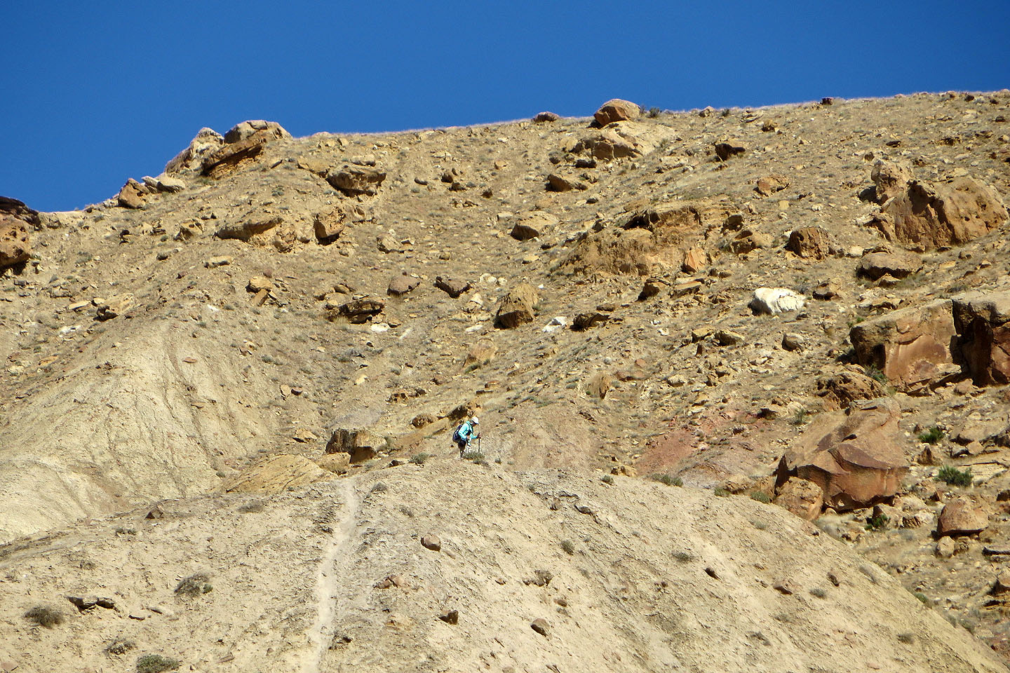
 The trail continues up the rocky slope ahead
 Dinah zoomed in to take this photo as I approached the rocky slope
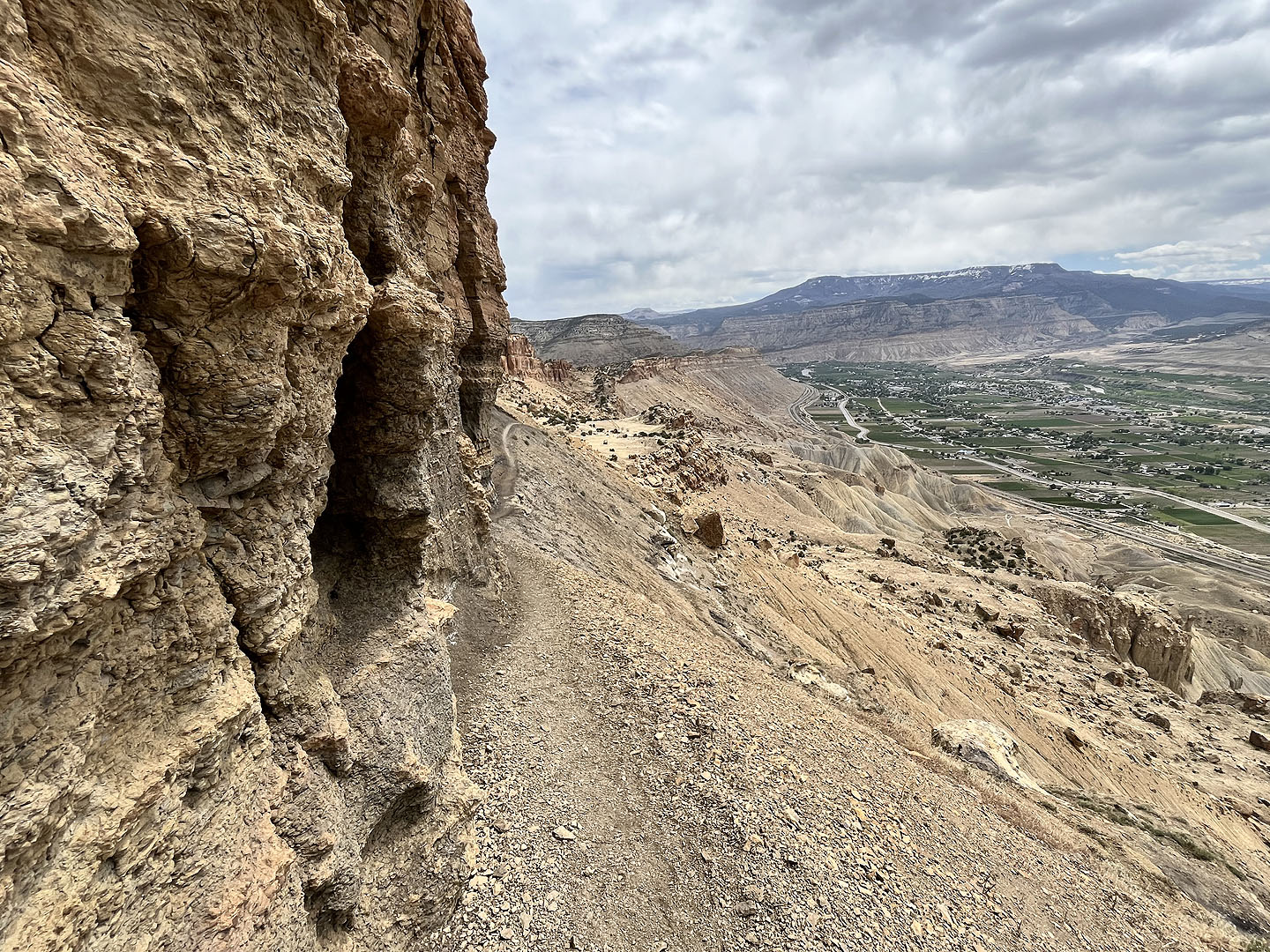
 Looking down at the parking lot in the centre
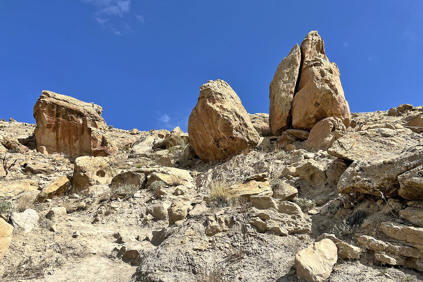 Some of the boulders that I passed
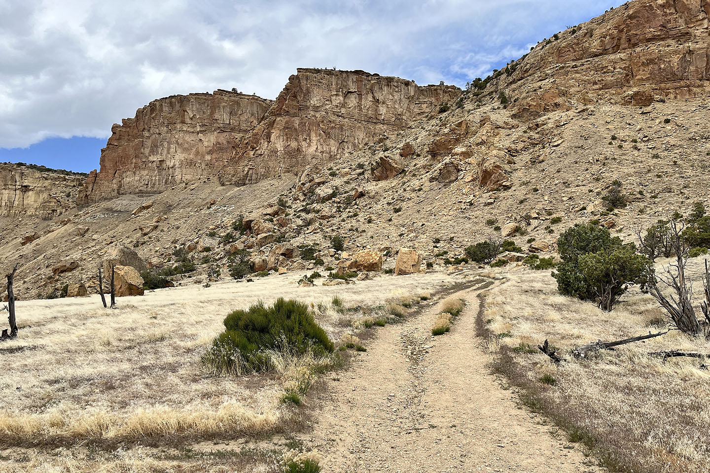
 Going over the first of two plateaus
 I continued to the next plateau. The unusual plant in the lower left is Mormon tea (mouse over).
 Side-blotched lizard
 Looking down at the first plateau. In the background is Grand Mesa, the largest flat-top mountain in the world. It's 3,000 m high. Its 500 square miles encompasses 300 lakes.
 Going along the second plateau
 Yellow flowers in the meadow
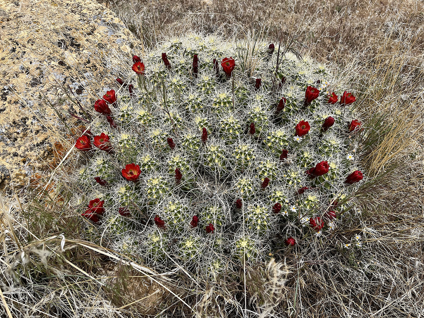 A large kingcup cactus
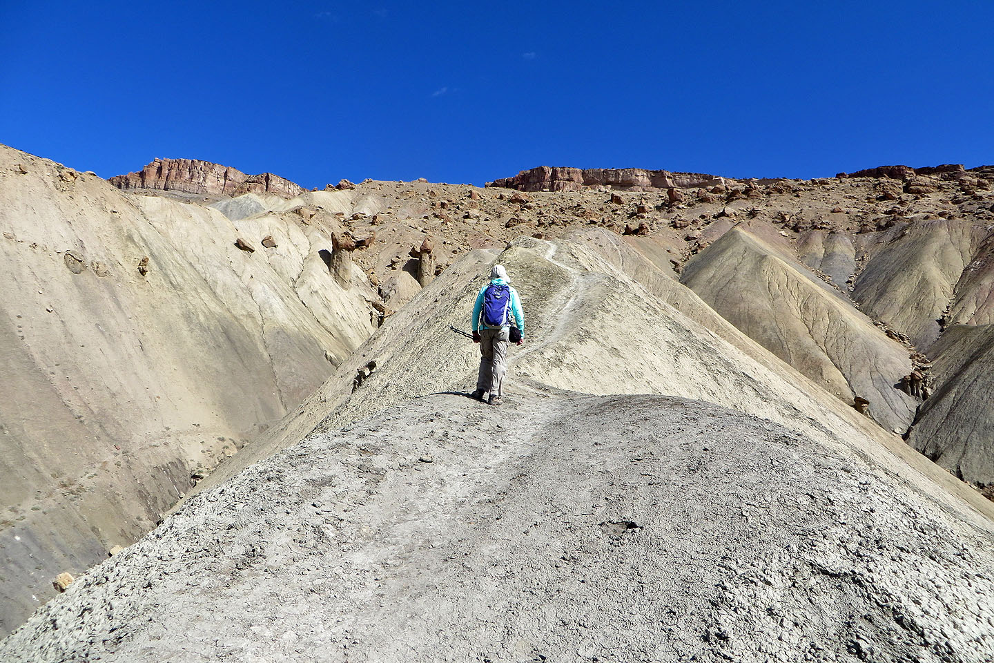
 The second plateau is huge
 The trail angles up the slope ahead. It runs to the break far left.
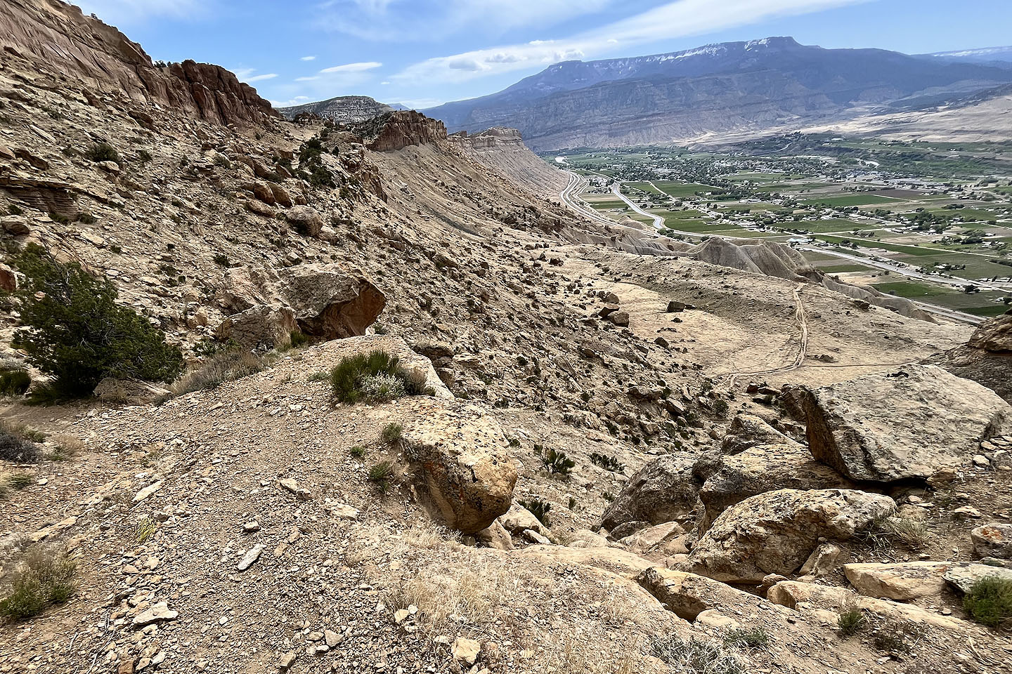
 Looking down at the second plateau
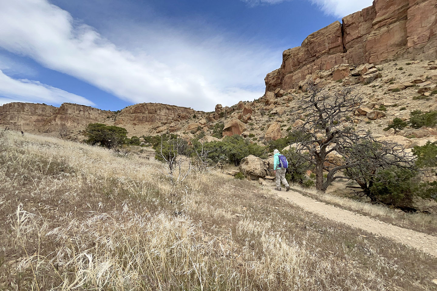
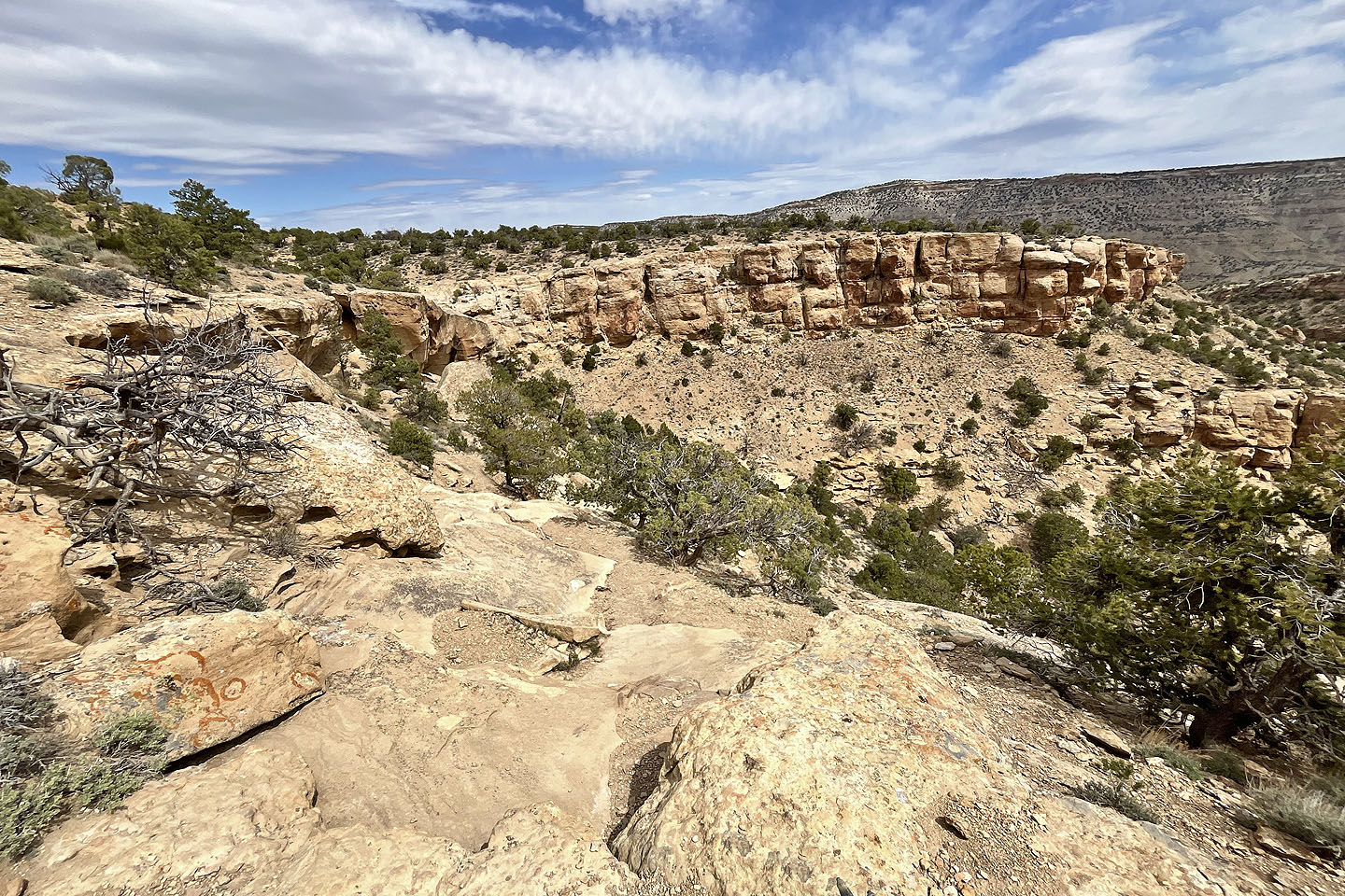
 The trail heads to the base of the cliffs
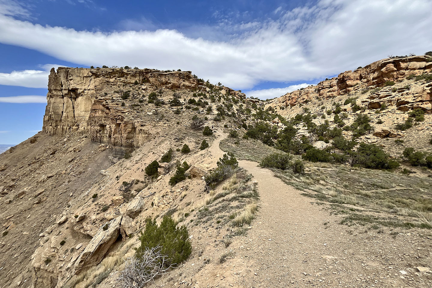
 The trail turns at the end of the dark cliffs. Note the hiker in the centre.
 Looking back. The second plateau appears in the centre.
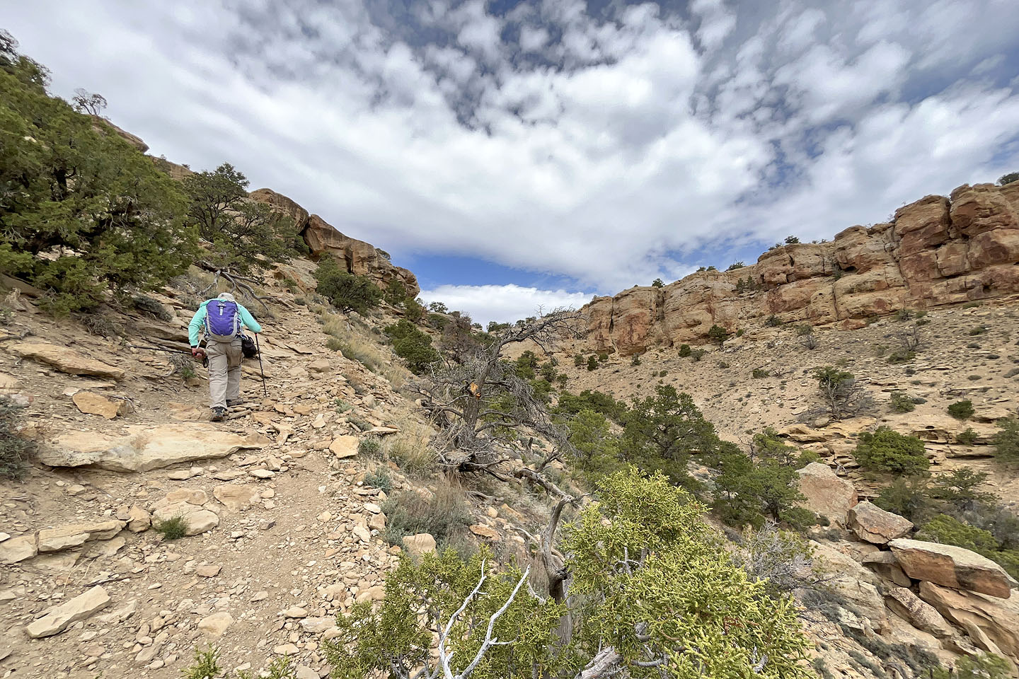
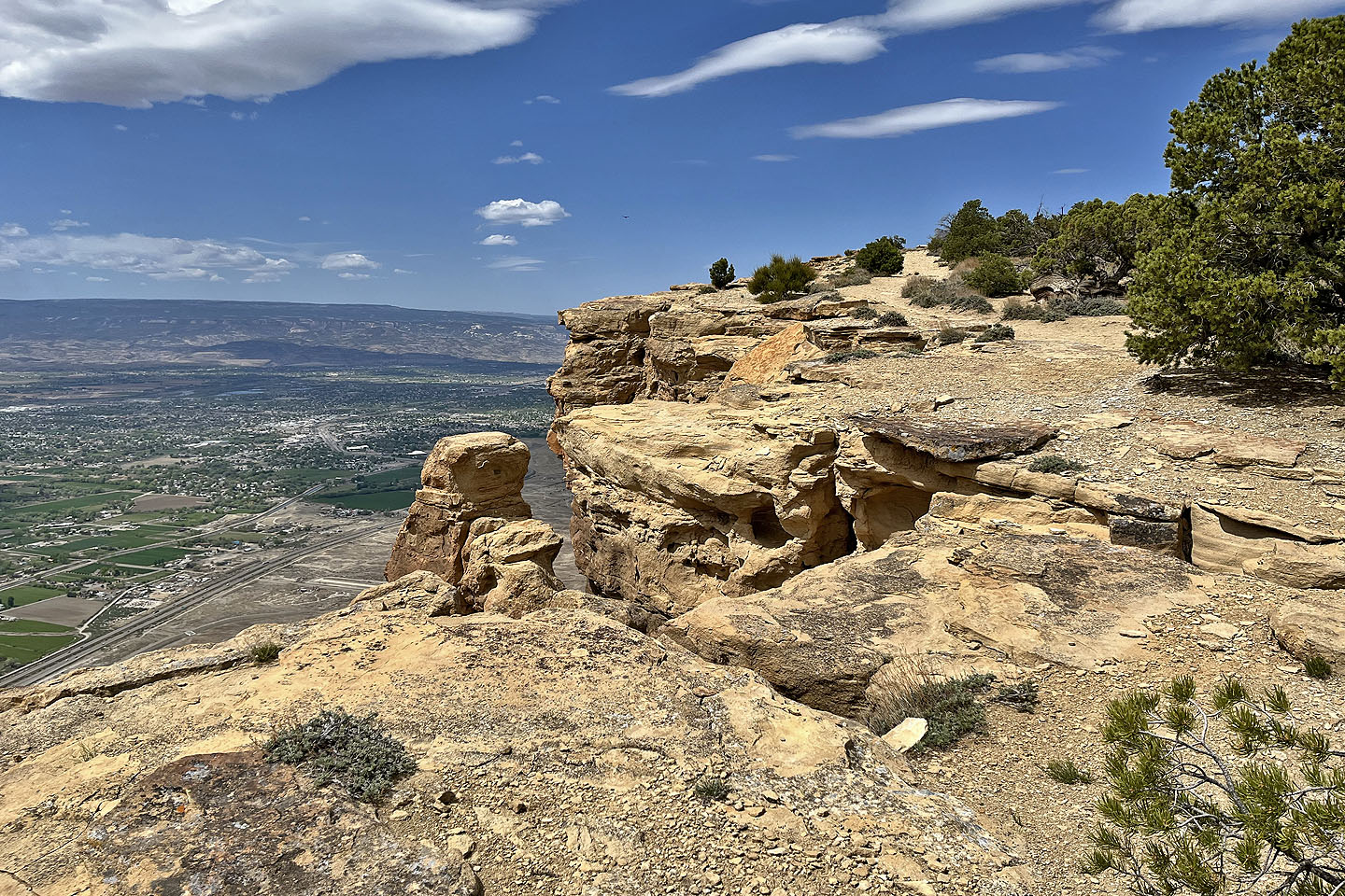
 After the cliff, the trail climbs the slope ahead
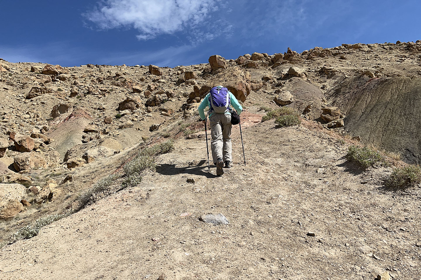
 Going up the slope
 Spurious trails traverse ahead and behind, but the way up is on the right, sans trail
 I went up and down here
 I passed this small rock
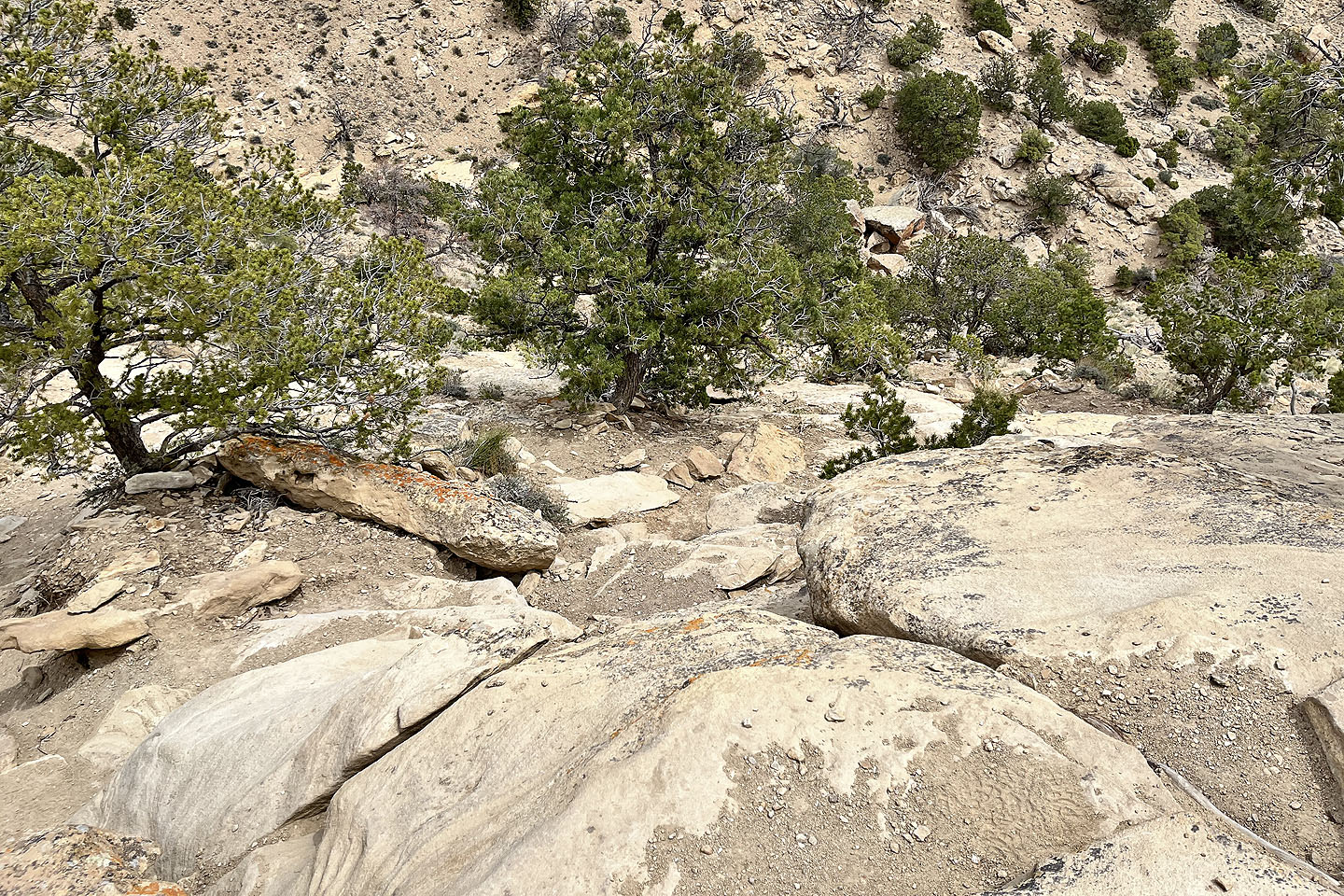 Looking down, the small patch of dirt below the rocks on the right is the trail
 The top of the ascent
 The trail continues to the ridge ahead and then levels off
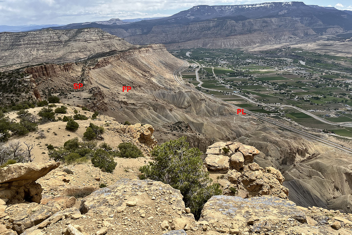 Looking back. SP - Second plateau, FP first plateau, PL - parking lot
 It's a long although easy walk from here to the summit
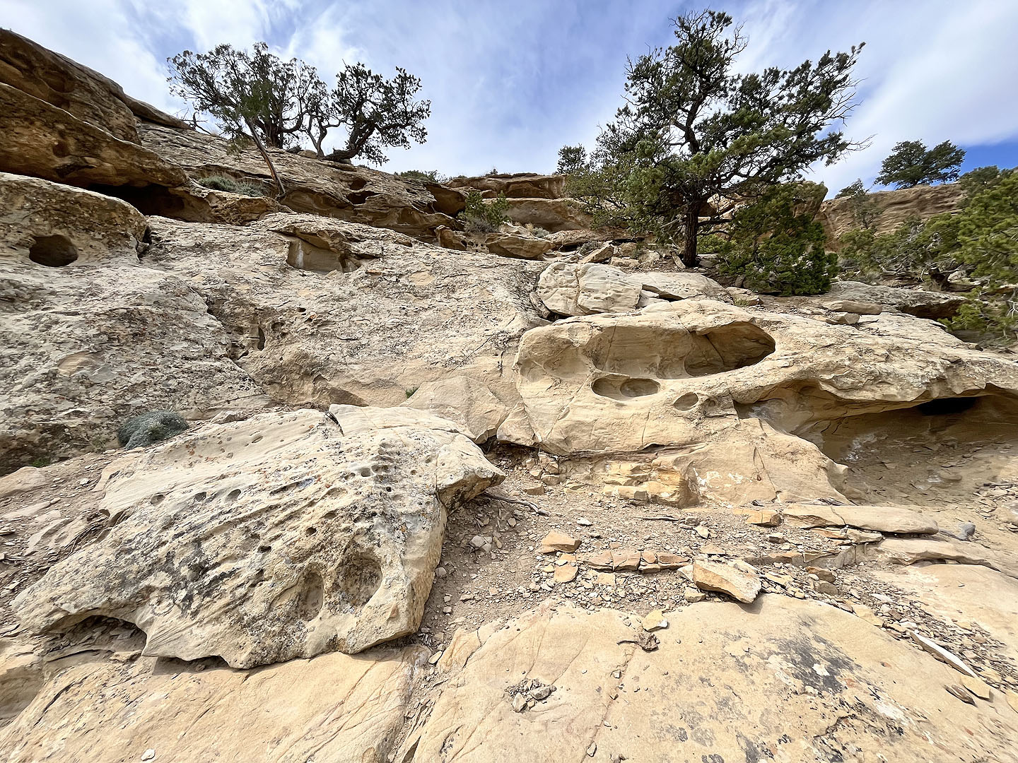
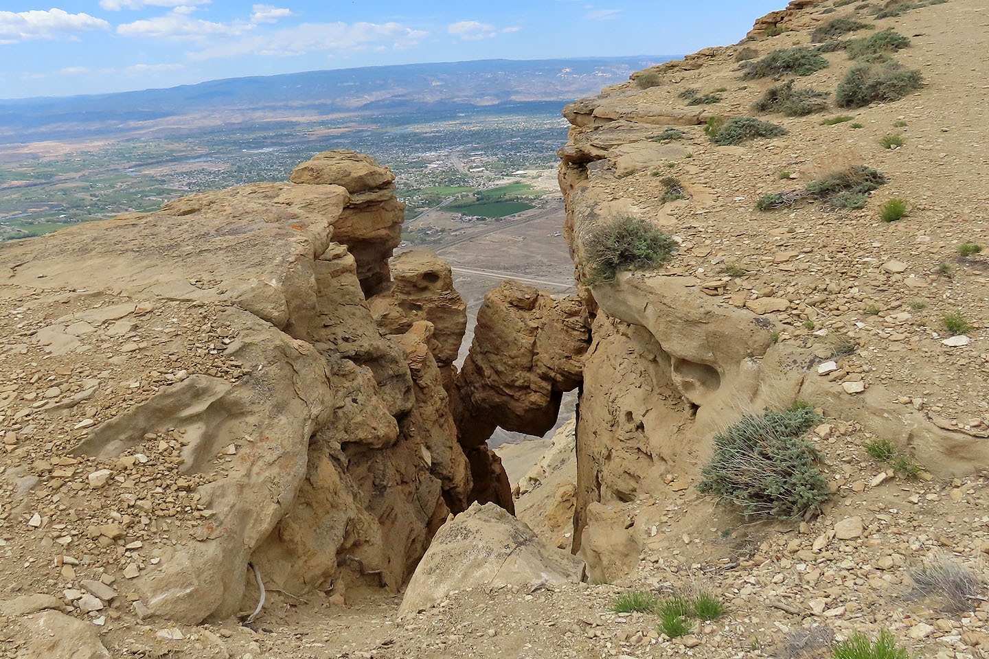 Chockstone in the cliff
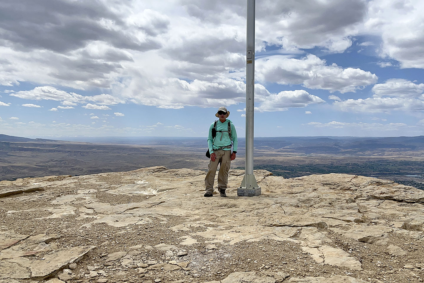 On the summit
Clifton, Round Mountain (3.7 mi, 6739 ft, 1903 ft)