bobspirko.ca | Home | Canada Trips | US Trips | Hiking | Snowshoeing | MAP | About
Woods Mountain
Mojave National Preserve, California
October 16, 2017
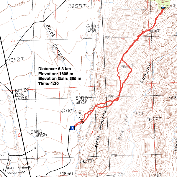
Distance: 6.3 km (3.9 mi)
Cumulative Elevation Gain: 415 m (1362 ft)
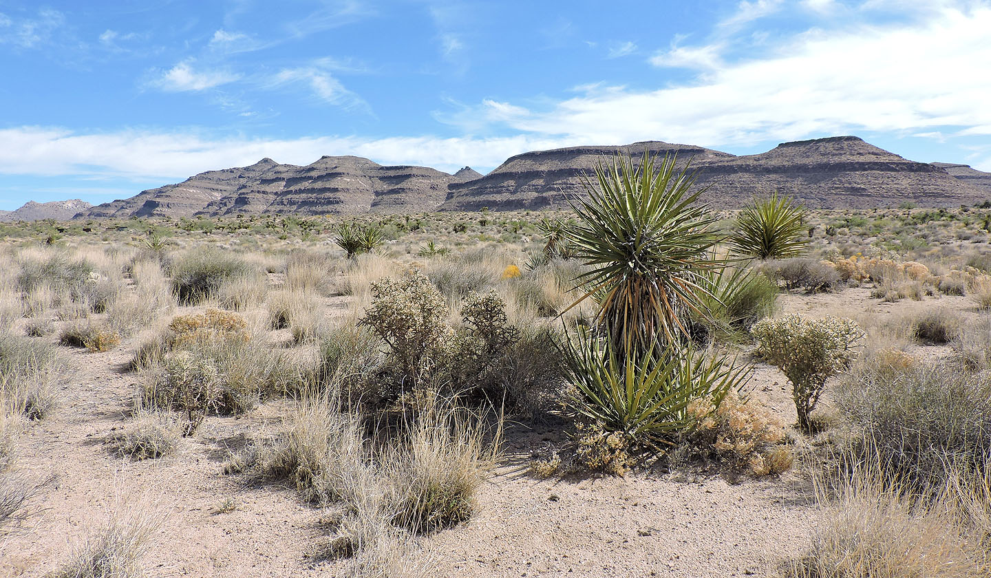
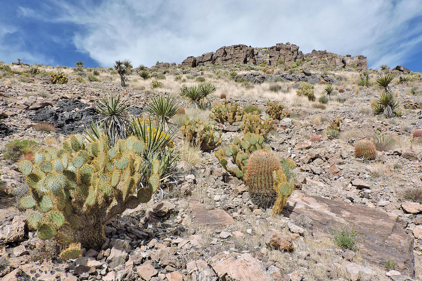
The peaks near Hole-in-the-Wall campground in the Mojave Desert display especially fine desert scenery, and Woods Mountain is no exception. The area abounds with wonderful desert flora including barrel cacti, cholla, prickly pear and tall yuccas. And like many peaks here, Woods is no more than a class 2 climb.
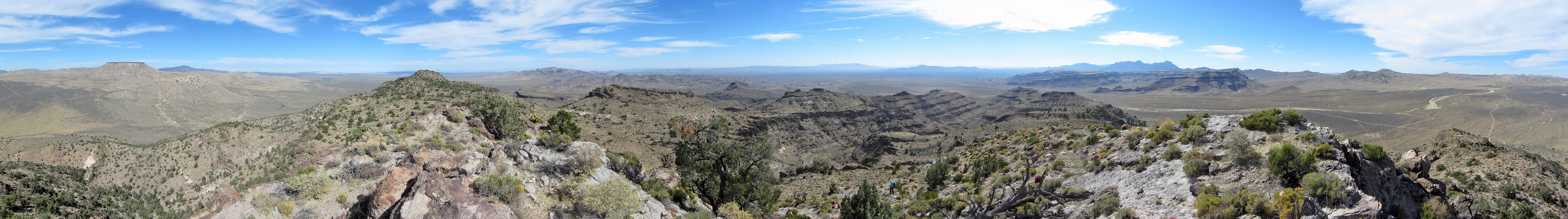
To get close to the base of the mountain, Dinah and I drove down a back road east of the Hole-in-the-Wall info centre. We passed Hole-in-the-Wall Fire Centre and parked at the end at Black Canyon Equestrian Campground. Woods Mountains comprise the entire ridge, 4 km long, but the summit, Woods Mountain, lies at the north end. Since there is a dip in the ridge near the campground, it's a logical place to ascend.
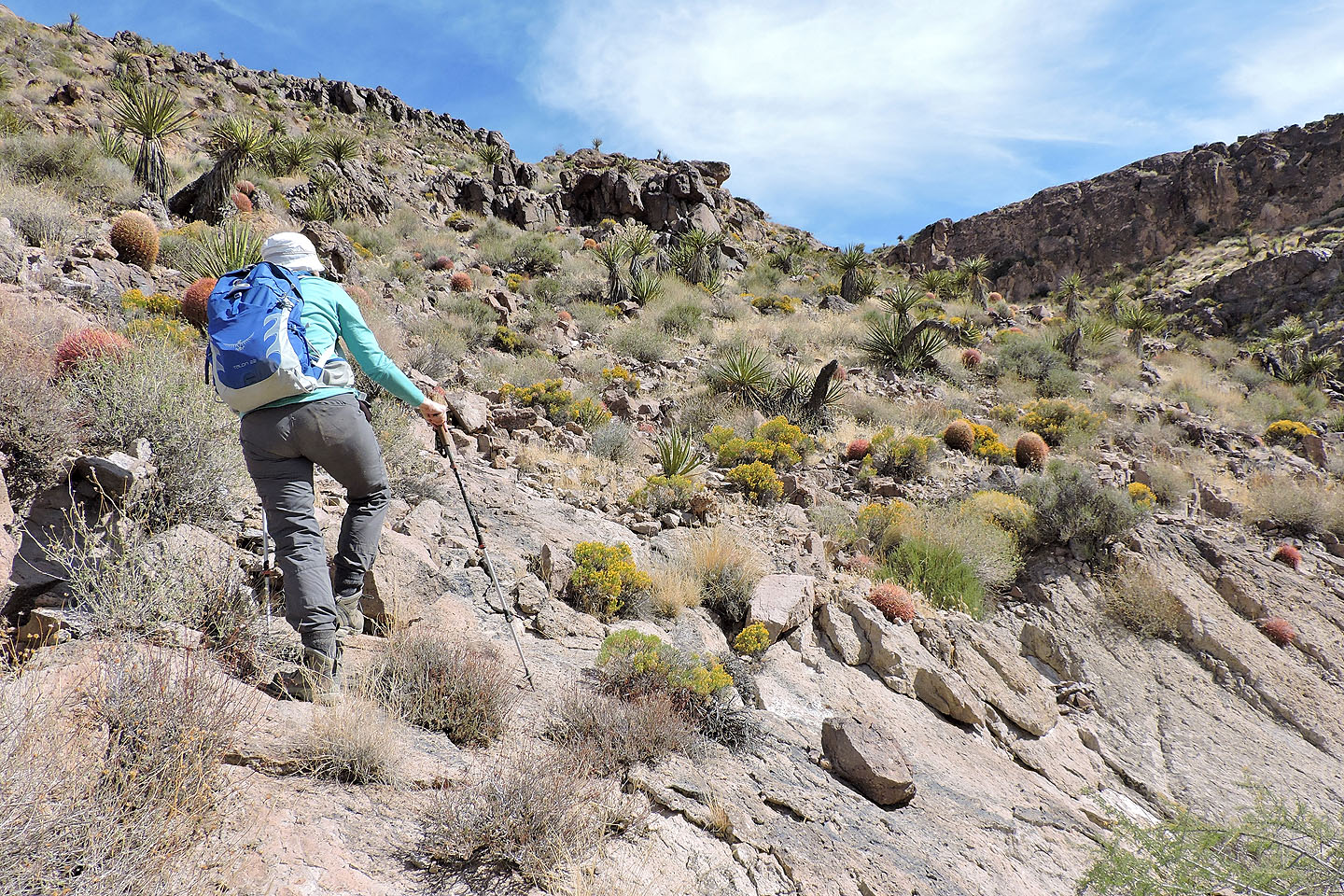
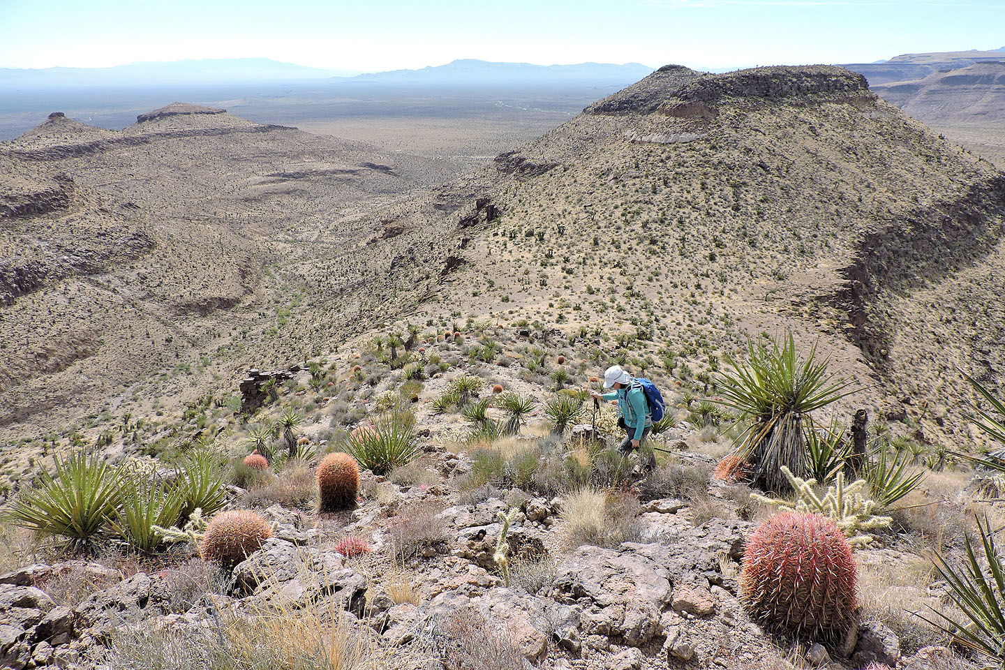
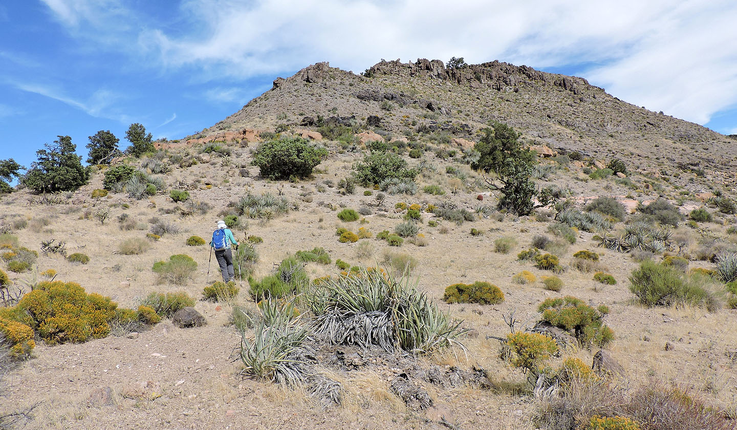
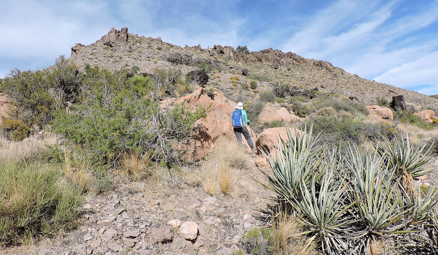
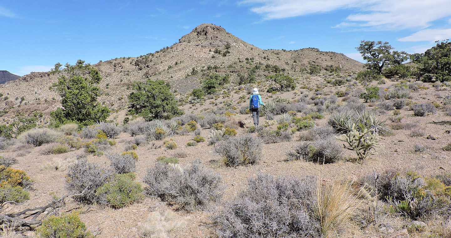
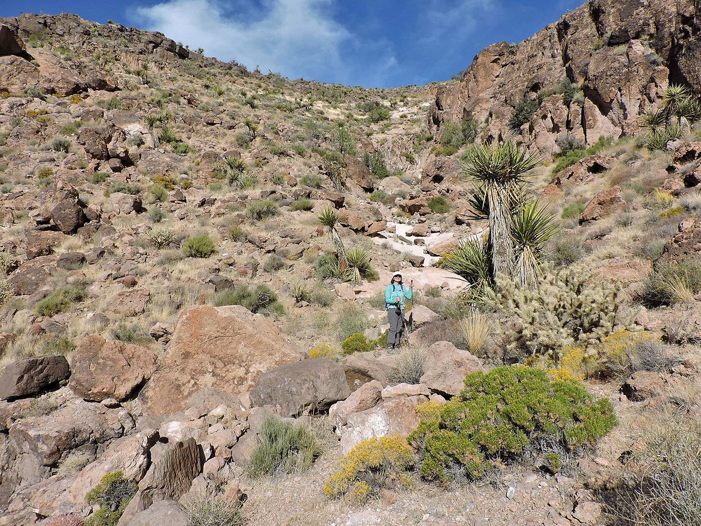
After crossing the desert flats a short distance, we ascended the slope left of the wash below the dip (although we learned on our descent the right side is easier). We made our way up the slope, avoiding slabby rock, and reached the ridge. Ahead, we faced two high points. Rather than lose 50 m going over the first high point, we circumvented it on the east side. However, we climbed over the modest second high point. A cliff band guards it, but we found a class 2 chute between two pointed rocks. After this, we wandered through cedar, juniper and spruce trees, perhaps giving Woods Mountains its name.
On the summit we signed the summit register, courtesy of Sierra Club. Woods Mountain is not a popular peak. We were the first to climb it in 2017, and in the last two years, the peak saw only one ascent a year.
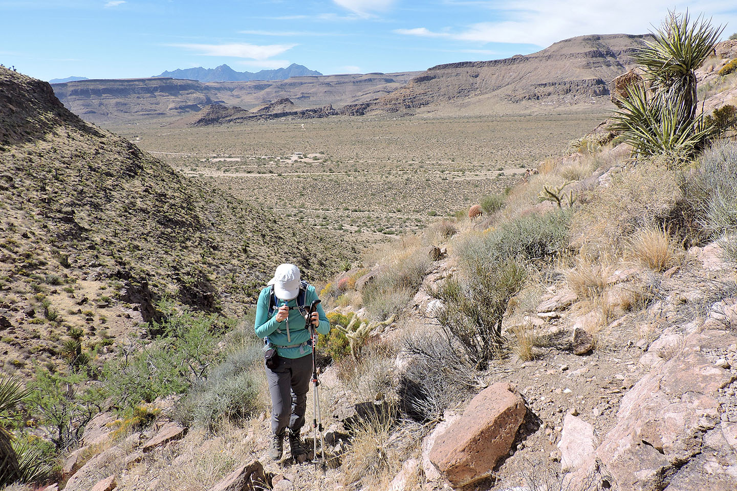
On our descent, we made two changes to our route. Instead of going east around the first high point, we went west. The west side, we realized, is easier. In fact, we followed a trail for much of the way.
Our other course change was below the dip in the ridge. Using a broad ledge that spans the wash, we crossed over to the south side. We connected a series of animal trails to descend all the way to the flats, much easier than hiking the north side of the wash.
Before going, be sure to check road conditions in Mojave. On our trip, recent floods had degraded the back roads, Mojave Road in particular, and signs recommended 4WD. We made it, but it was such a slow, miserable drive that we opted to drive back to Las Vegas on longer, paved roads.

Signs warn of flooding on the north section of Black Canyon Road
Woods Mountains seen from Hole-in-the-Wall info centre. The summit is far left. We ascended the dip in the middle.
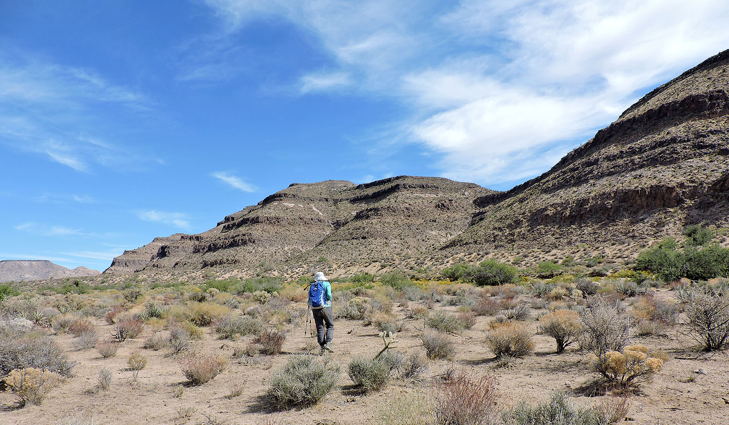
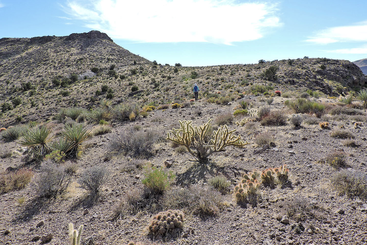
Heading to the base of our ascent slope
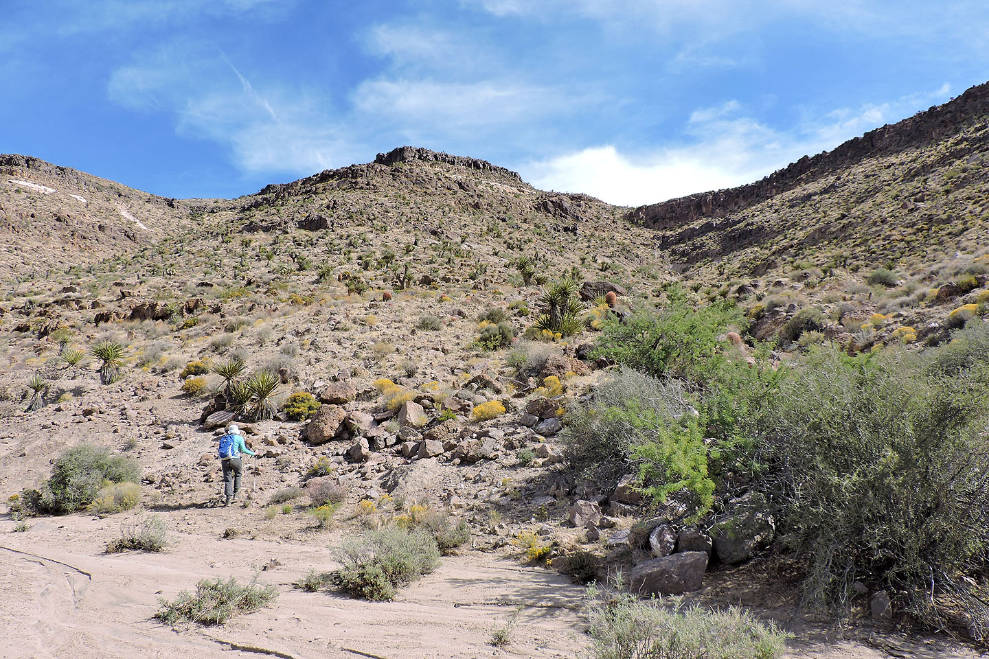
We ascended the slope ahead, but on our return we descended the easier slope on the right
We went around sections of steep slabs
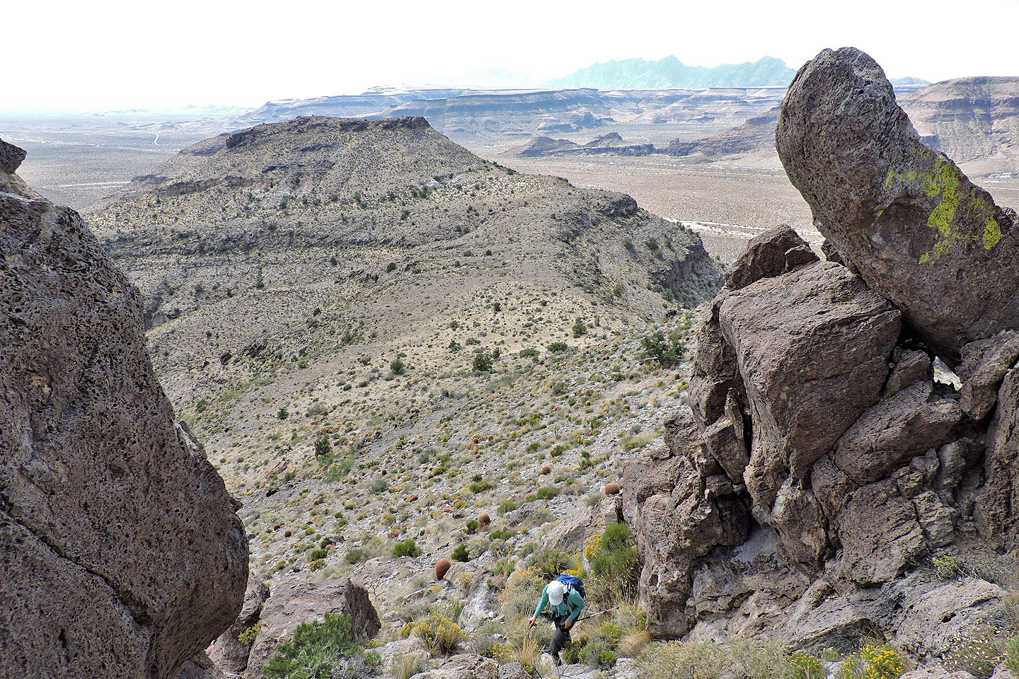
Left of Dinah is the broad ledge that bridges the wash. Behind on the right is Barber Peak.
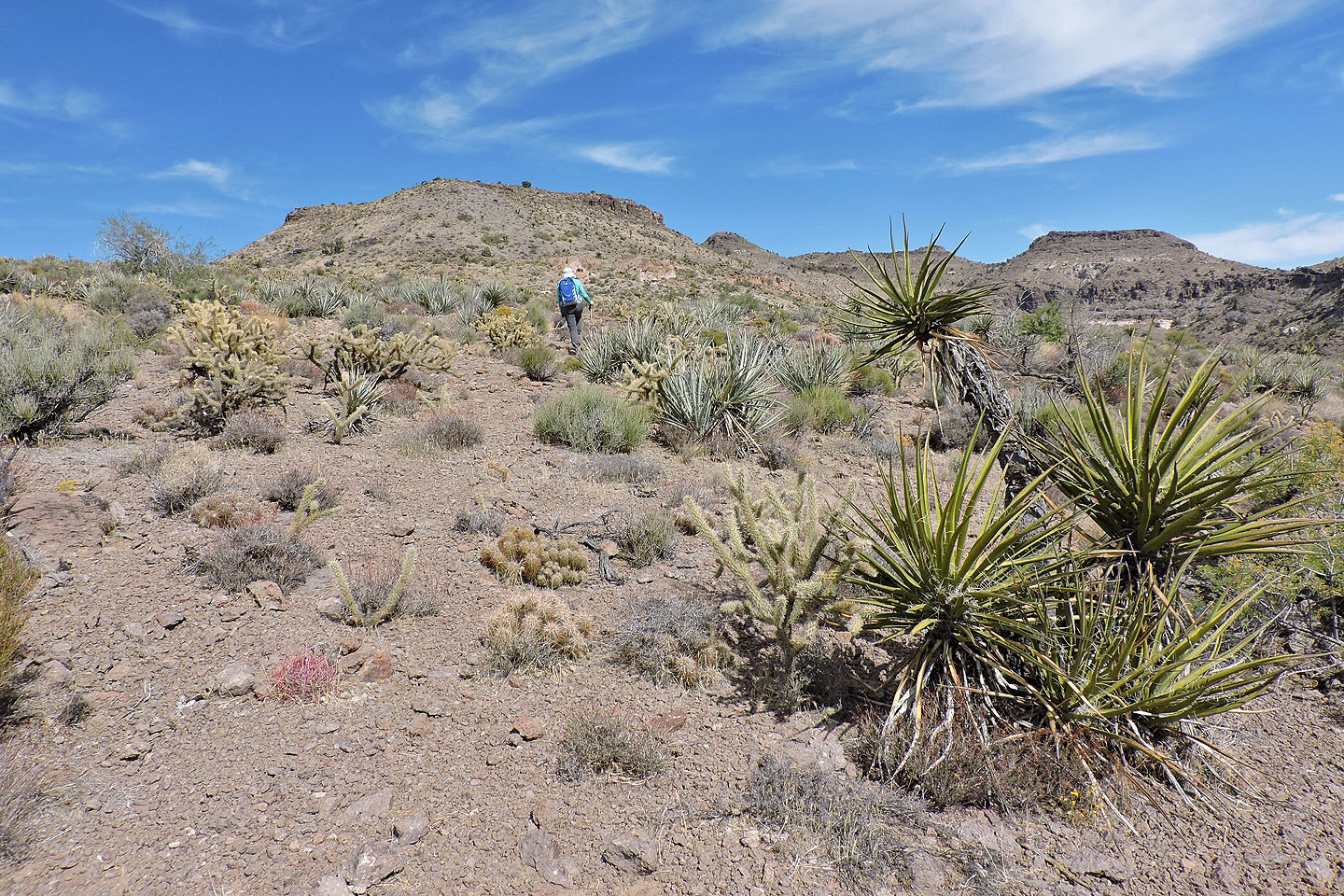
Heading to the ridge
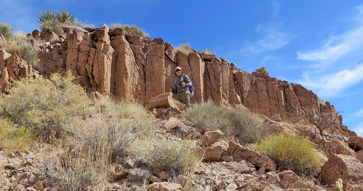
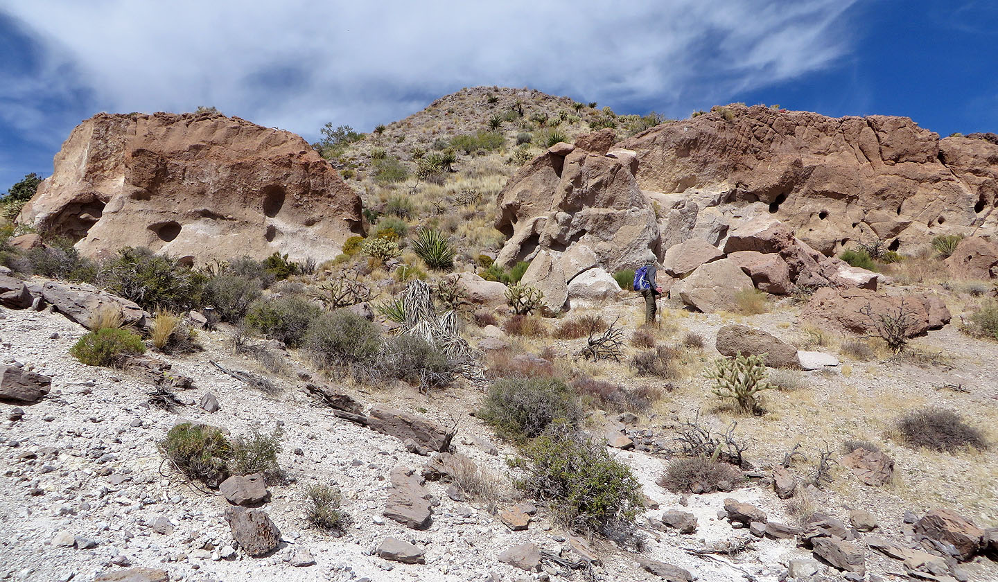
Some unusual cliffs near the crest
On the ridge crest
We circumvented the first high point on the east (right) side but returned along the west side
The east side of the first high point was more interesting but more rugged
Looking up at the first high point
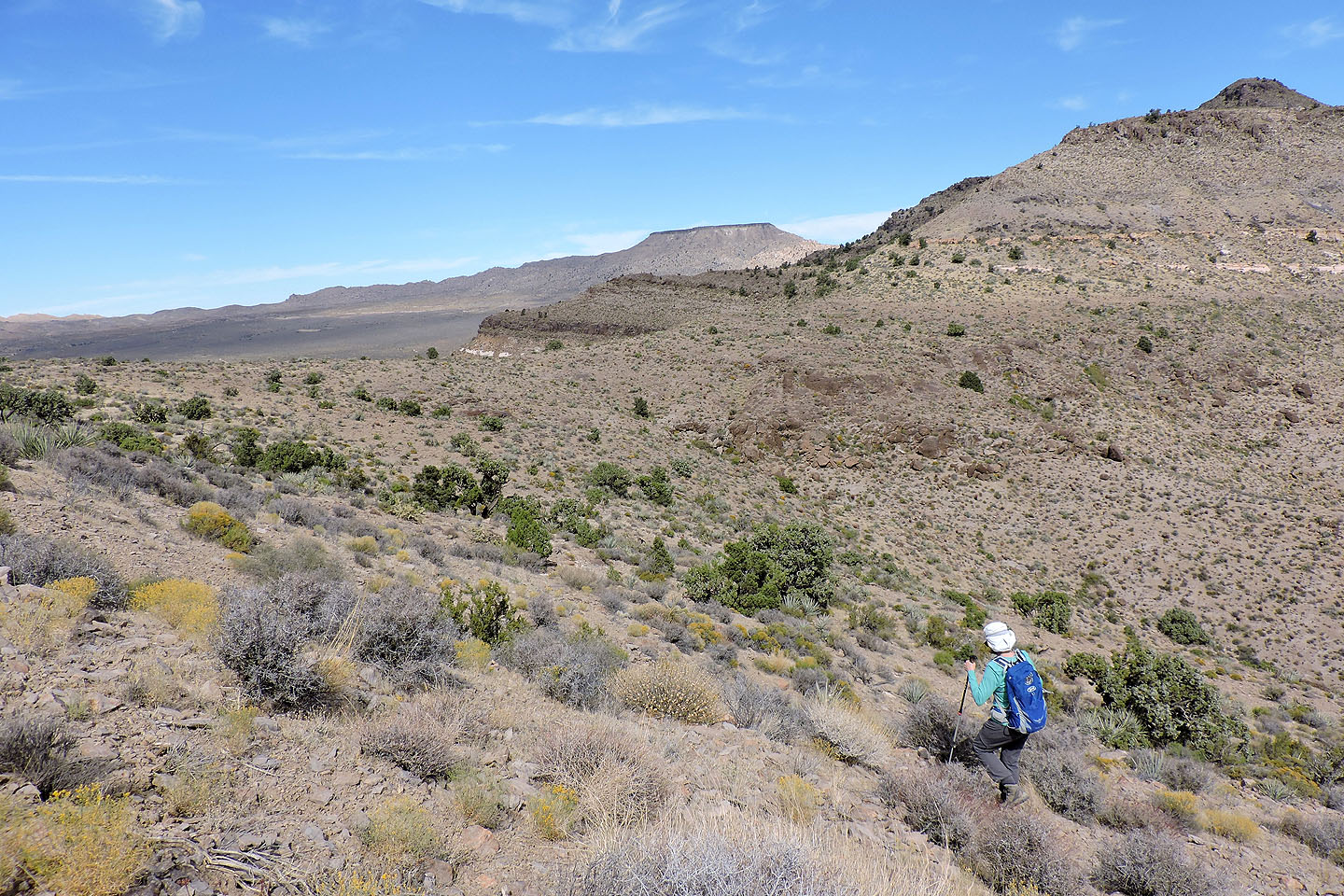
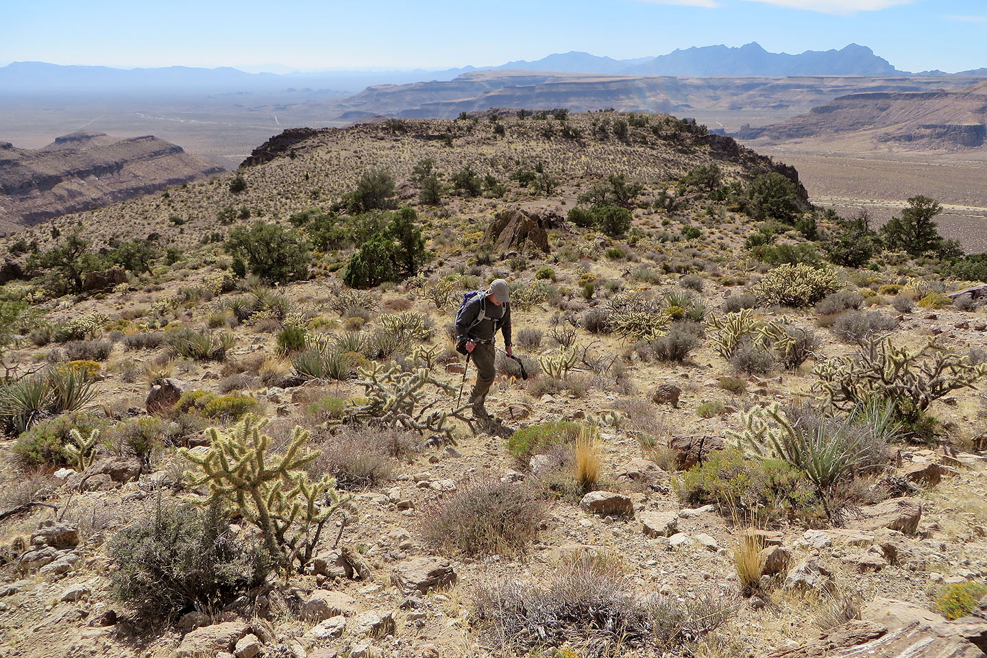
Coming around the slope. The summit peeks above the second high point.
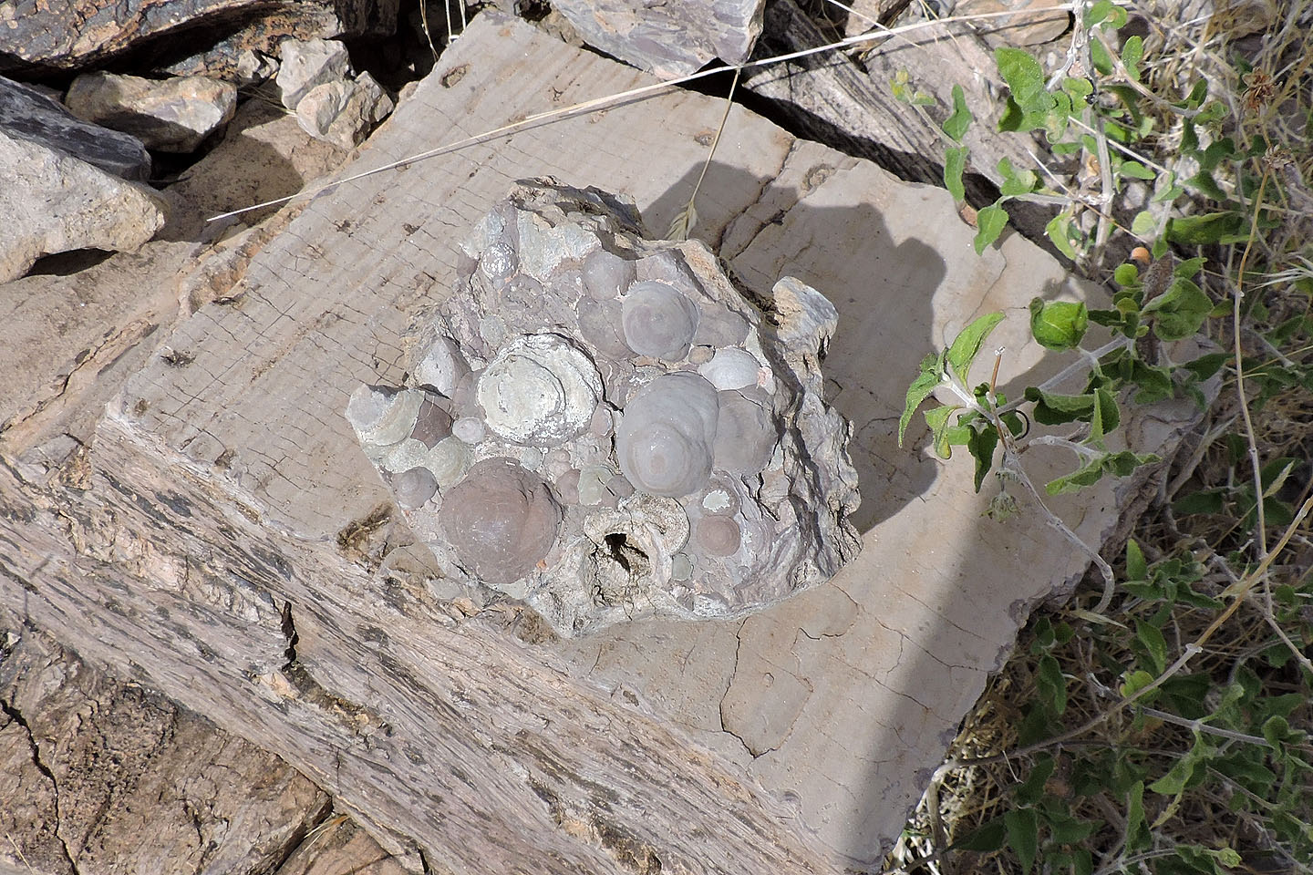
Curious rock
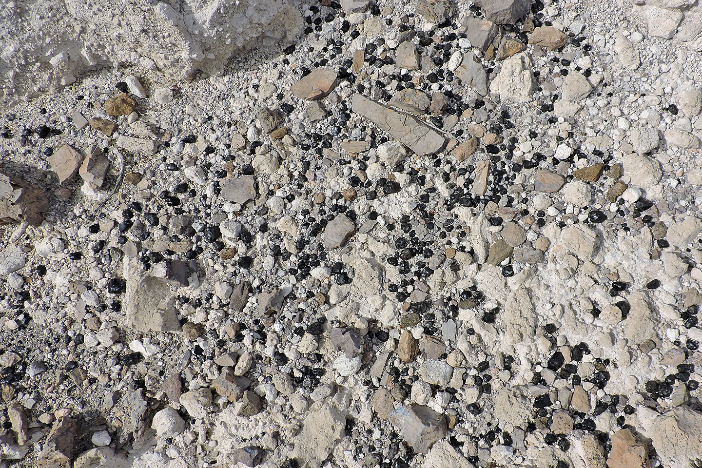
Thousands of these shiny black stones (obsidian?) were scattered across the east and north slopes of the first high point (mouse over for a closer look)
Looking back at the first high point
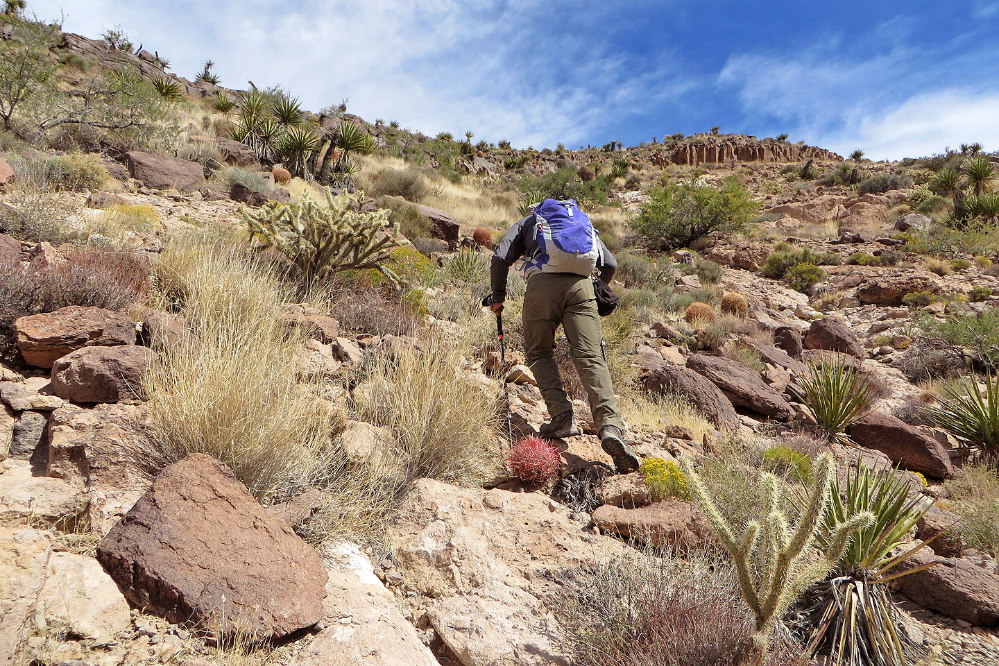
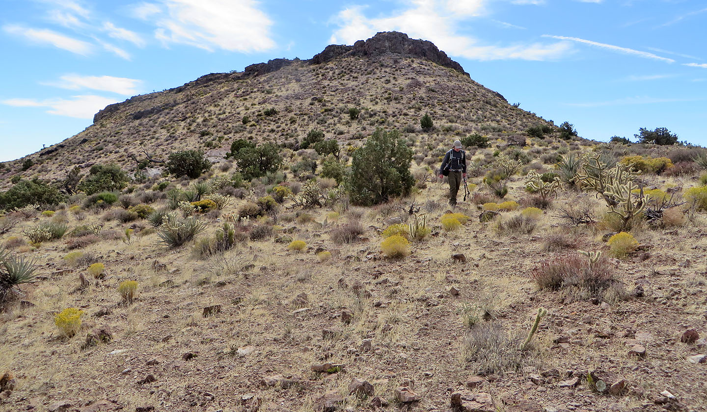
Heading to the second high point
We made our way up between a pair of "rock pinchers" above Dinah (mouse over for a close-up)
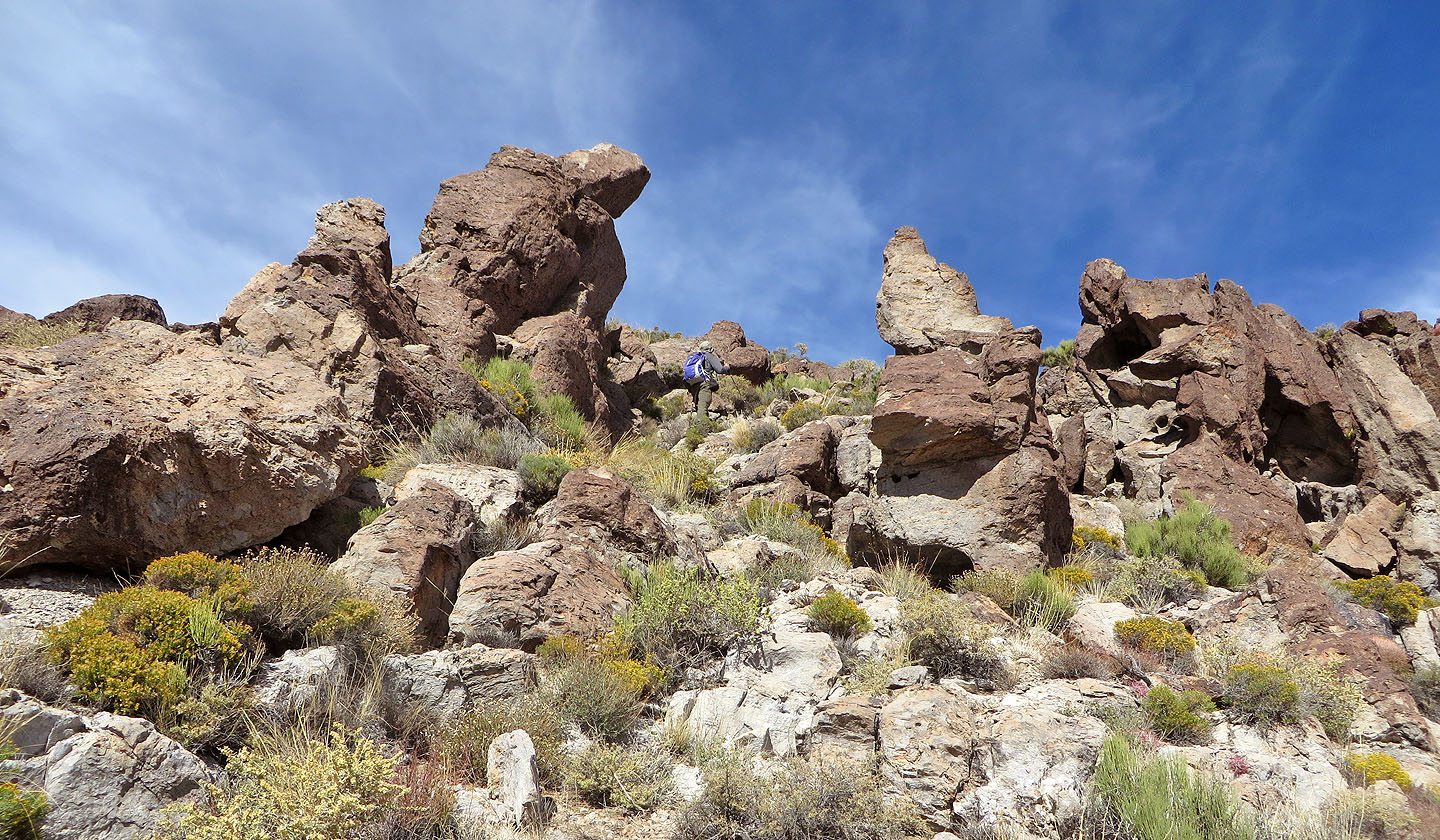
It's a class 2 climb through the pinchers
Looking down through the pinchers
The summit seen from the second high point
Looking back at the second high point
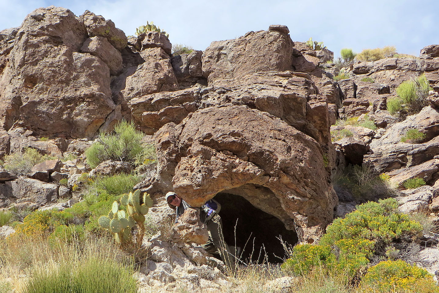
A narrow pillar supports a small cave
Looking back as we close in on the summit
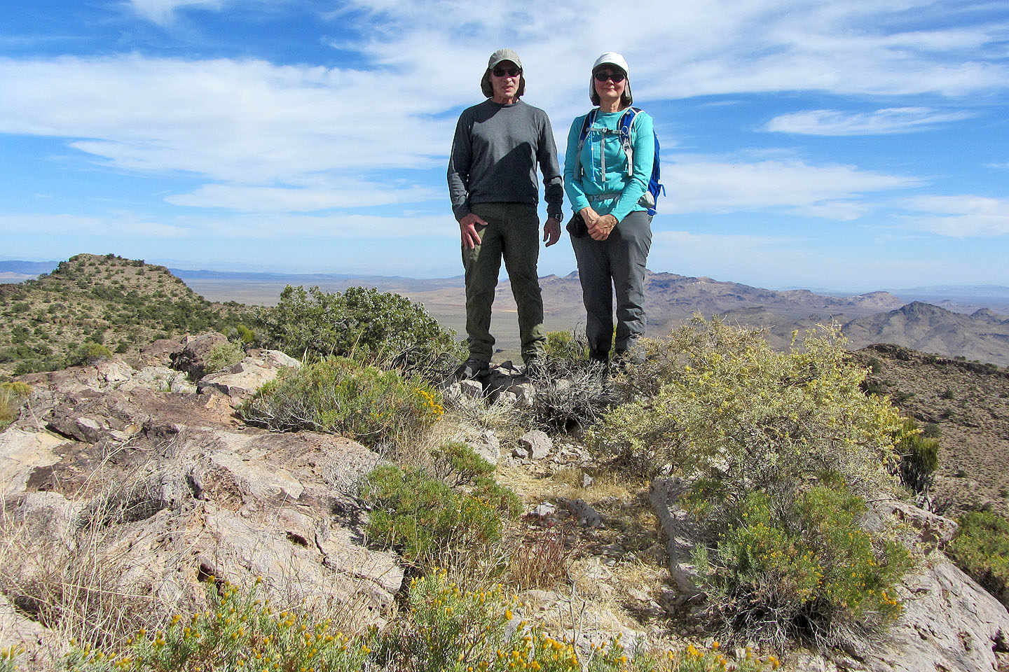
Posing on top of Woods Mountain
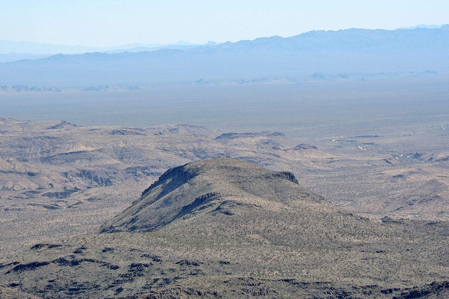
Tortoise Shell Peak lies southeast
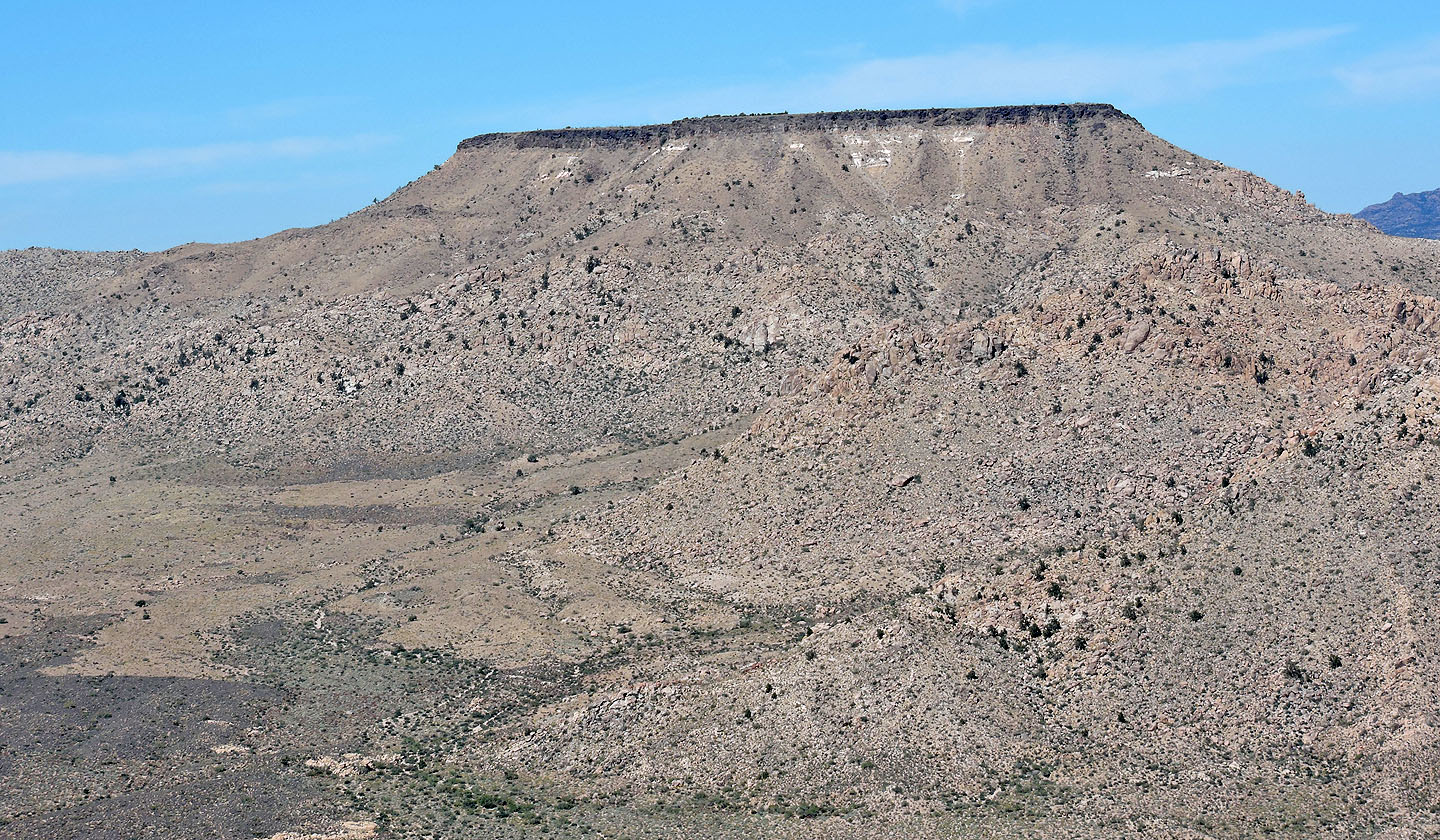
Table Mountain lies north
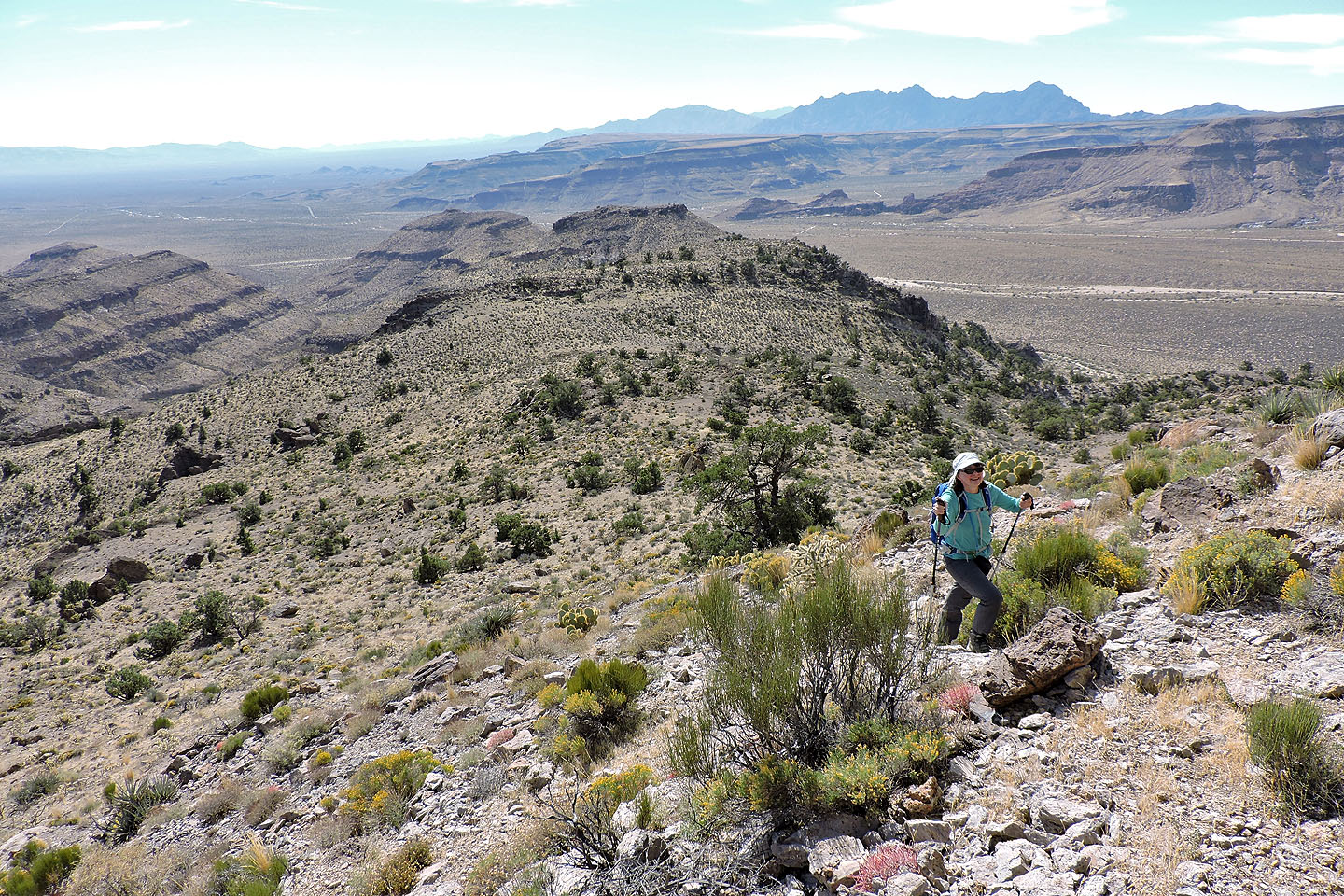
On the way back we circumvented the first high point on the west side
Crossing the ledge that bridges the wash
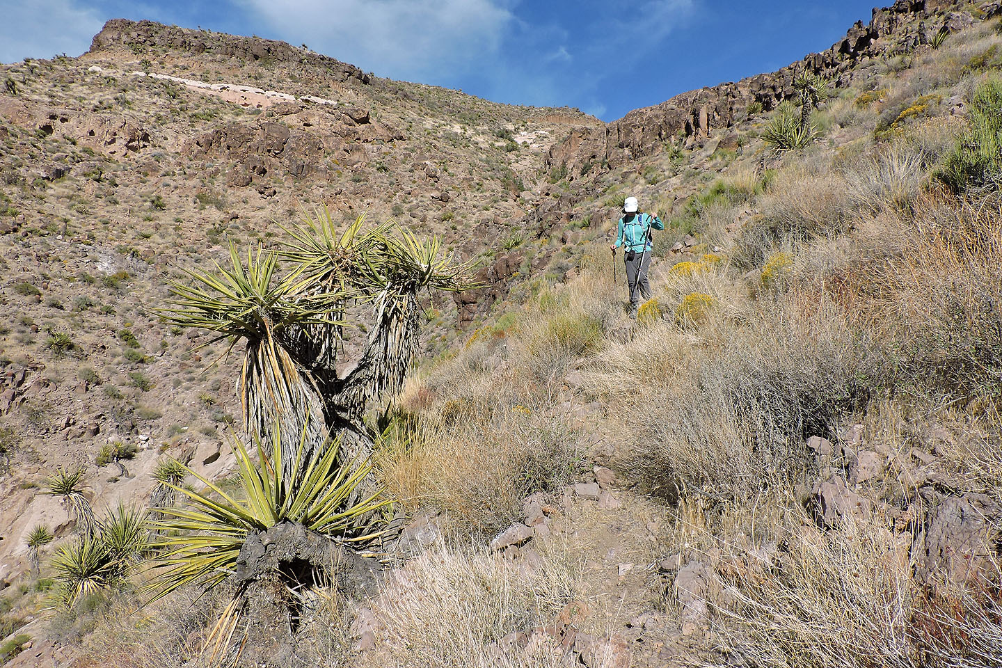
We followed faint trails down the slope, much easier than our ascent up the other side of the wash
Columbia Mountain and Woods Mountain (3.9 mi, 5561 ft, 1263 ft)