bobspirko.ca | Home | Canada Trips | US Trips | Hiking | Snowshoeing | MAP | About
Salsberry Peak
Death Valley, California
January 13, 2013
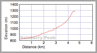
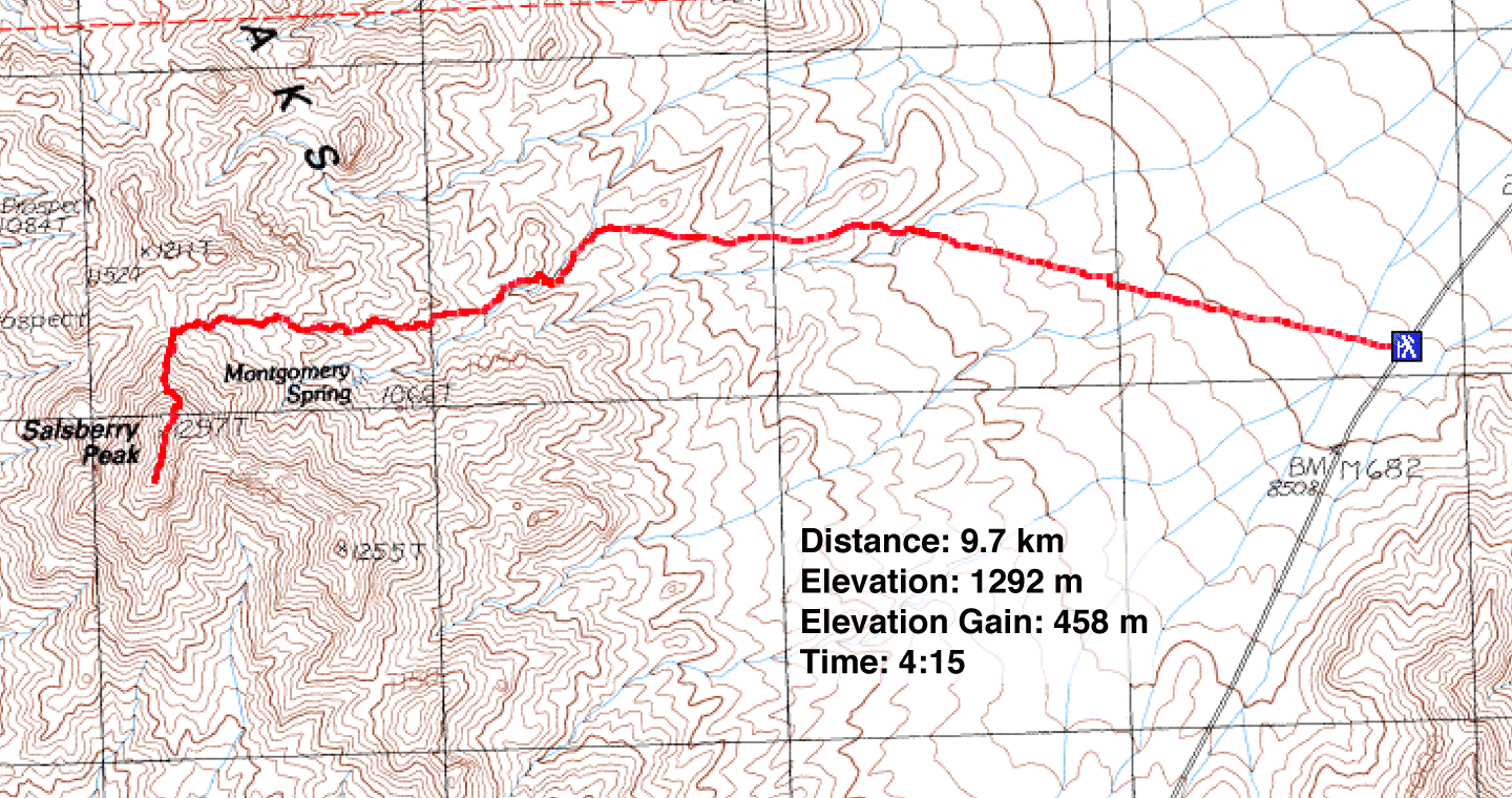
Distance: 9.7 km (6.0 mi)
Cumulative Elevation Gain: 475 m (1558 ft)
According to the summit register, Salsberry Peak attracts few visitors. It is rather a small peak and lacks a trail, and routefinding isn't straightforward. But Dinah and I found one good reason to climb it: it's among the most colourful peaks we've done.
Andy Zdon's Desert Summits offers a brief route description: after parking on Highway 178, cross the desert flats and head to Montgomery Spring. From the spring, ascend the saddle north of the summit.
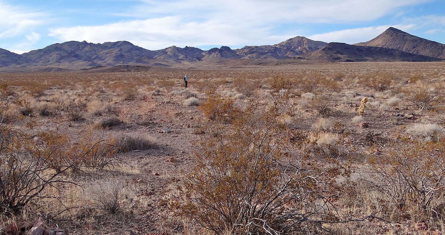
It was unusually cold when we set off across the flats, just a few degrees above zero. In my excitement to get going, I made a beginner's mistake of heading to the wrong peak. Fortunately it put us off course only slightly and after crossing the flats, I corrected our direction. (After summiting, we mostly retraced our steps back, shaving off a little distance. The map depicts our return route.)
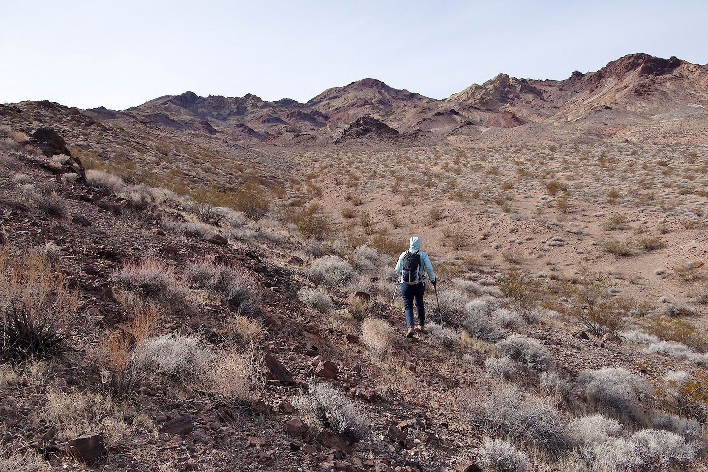
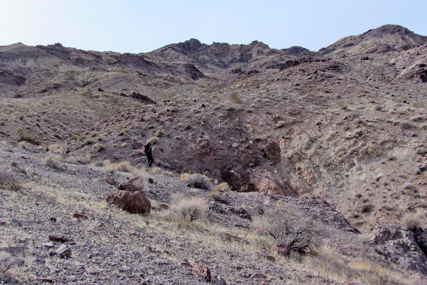
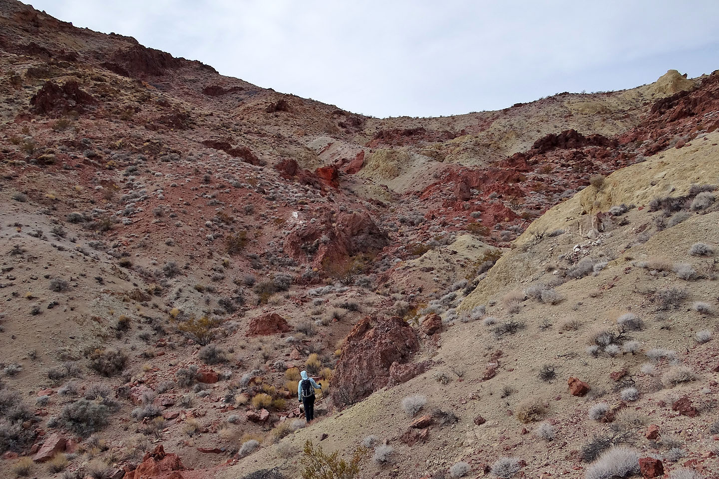
We found our way to the wash leading to Montgomery Spring, but the wash wasn't to our liking. After a steep dry falls prevented us from continuing up the wash, we climbed the ridge on our right. It made more sense to stay high where both travel and navigation were much easier. Still, ridges and ravines precluded a benign, direct approach to the saddle. When we were forced to drop down, the wash running north of and parallel to Montgomery Springs looked gentler so we took it. When we could, we popped up onto ridges where we could take a bearing.
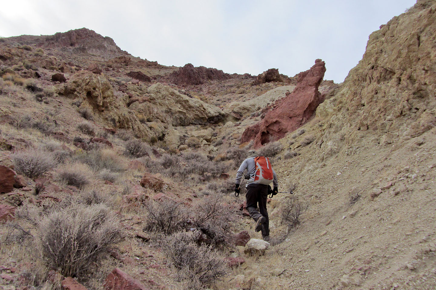
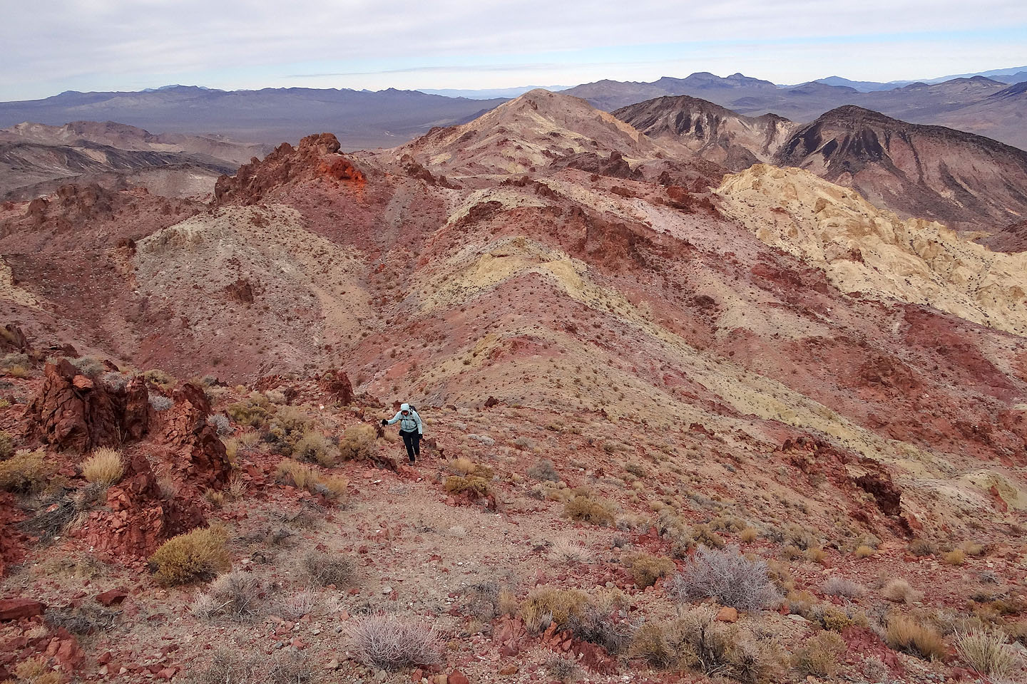
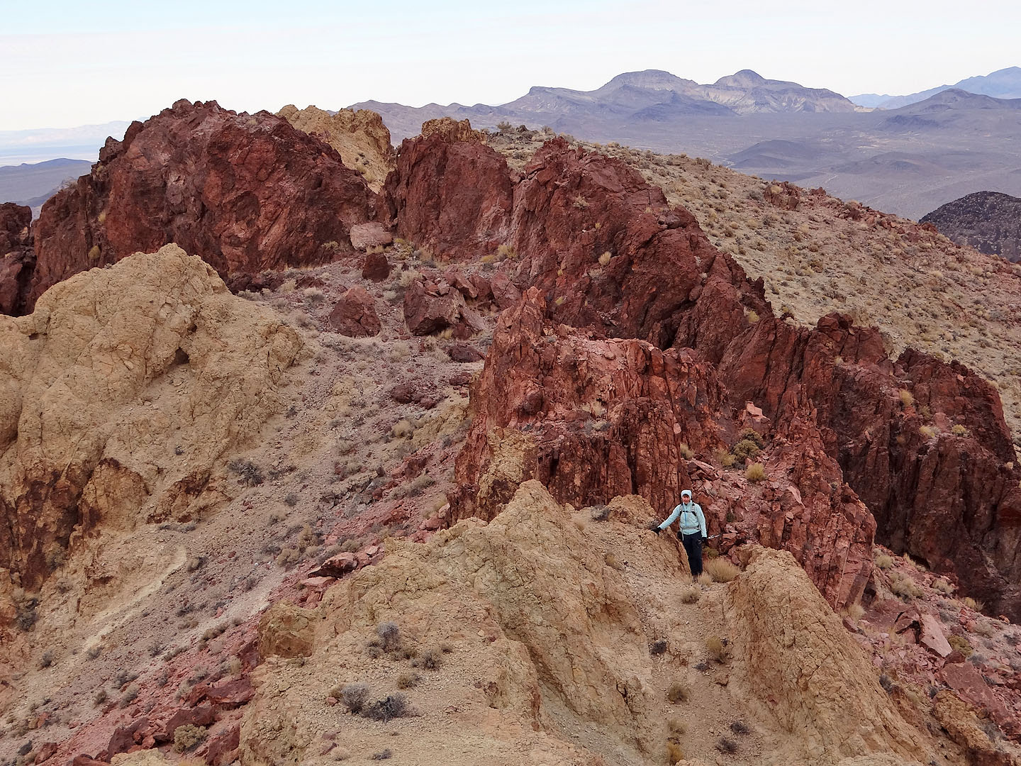
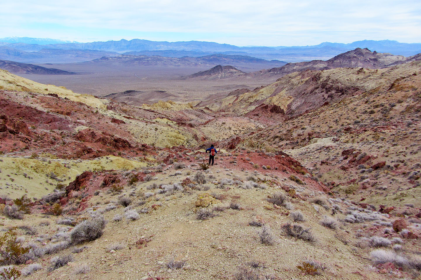
As we neared the saddle, the colours really exploded. Jagged maroon rocks competed with pale-yellow sandstone for our attention. Routefinding relaxed so I was able to sit back (figuratively speaking) and enjoy the stunning scenery.
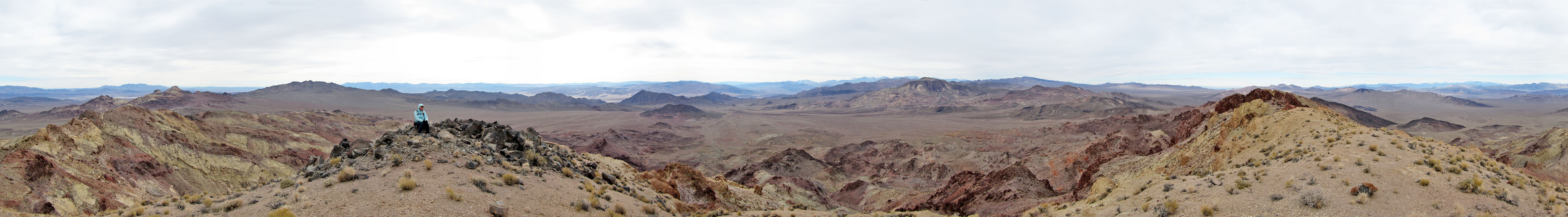
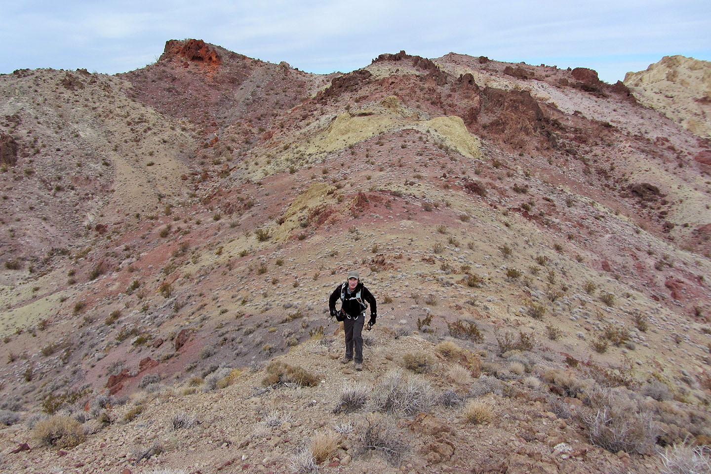
The hike along the summit ridge was no less interesting. Colourful rock outcrops lined the crest. Perhaps one of those rock points was the actual summit, but we made our way to the south end of the ridge where we found a summit register. Last entry: March 2012.
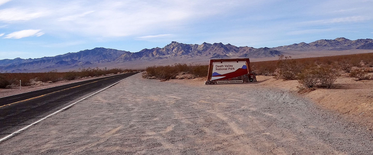
Entering Death Valley. Salsberry Peak is on the far right.
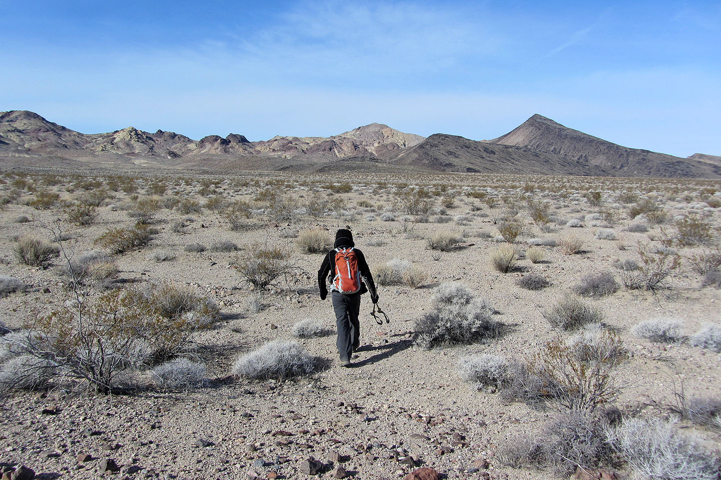
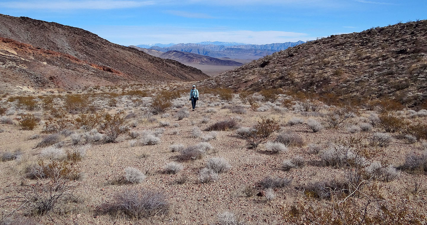
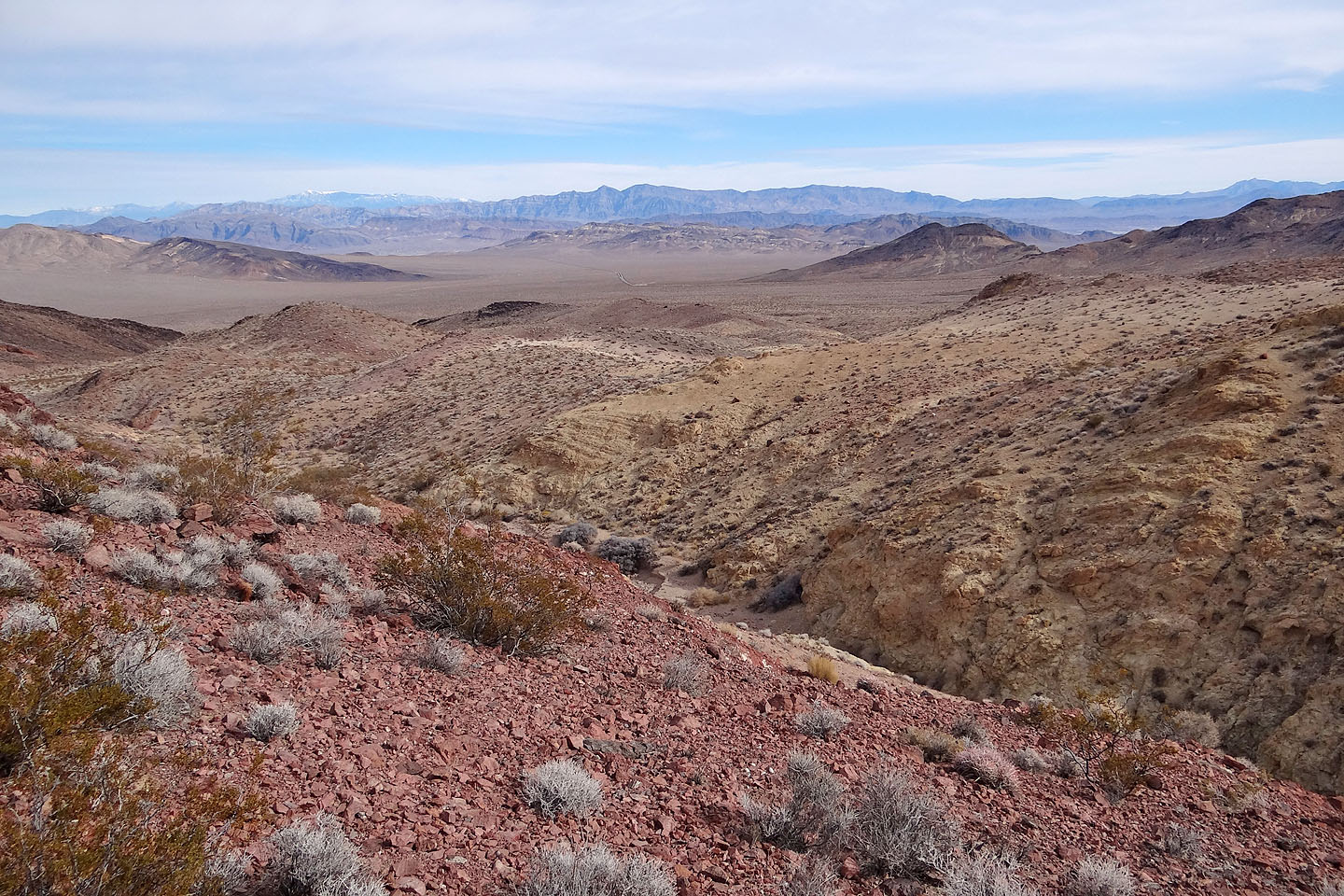
Crossing the flats. Salsberry Peak is partially seen on the far left
We were enthralled with Death Valley's landscape
Salsberry Peak ahead
Mount Charleston lies east (mouse over)
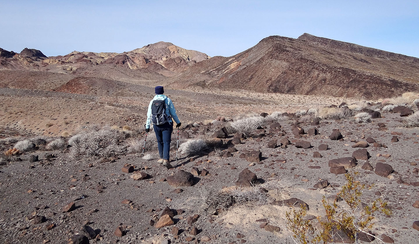
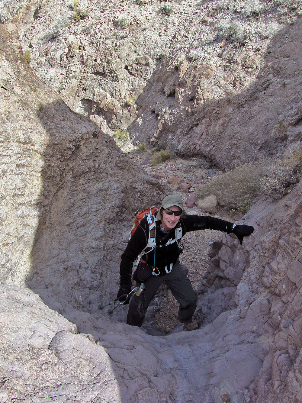
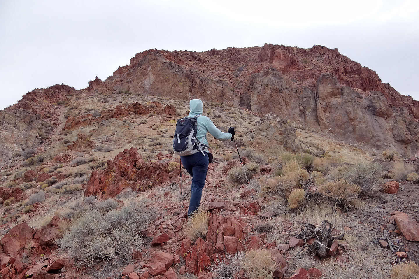
Getting closer to the peak
Dropping down to the wash that leads to Montgomery Springs
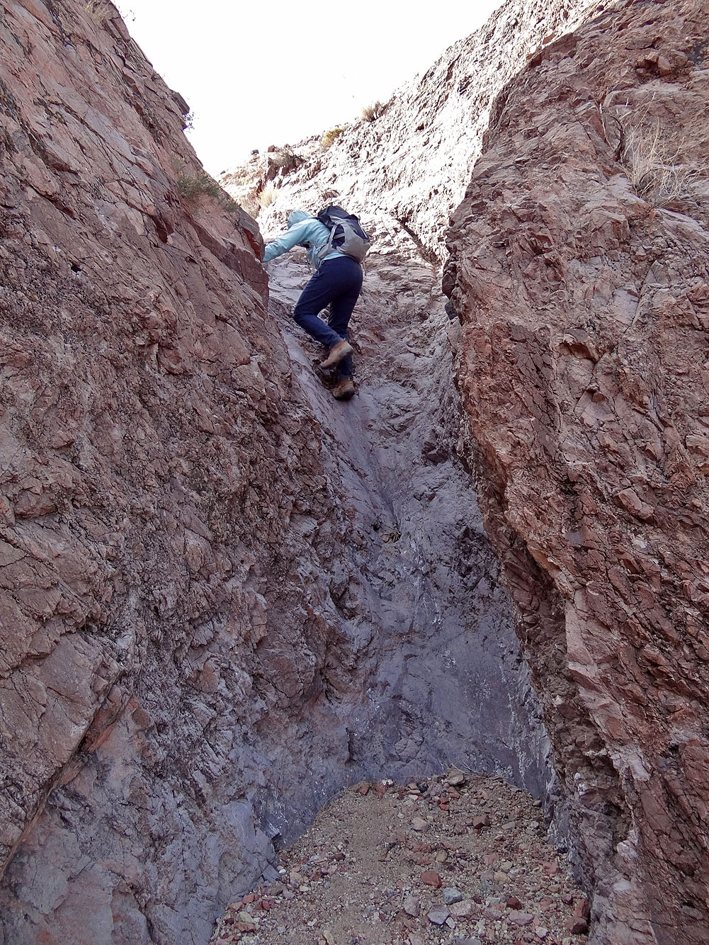
Dinah scrambles up a dry falls in the wash
My turn
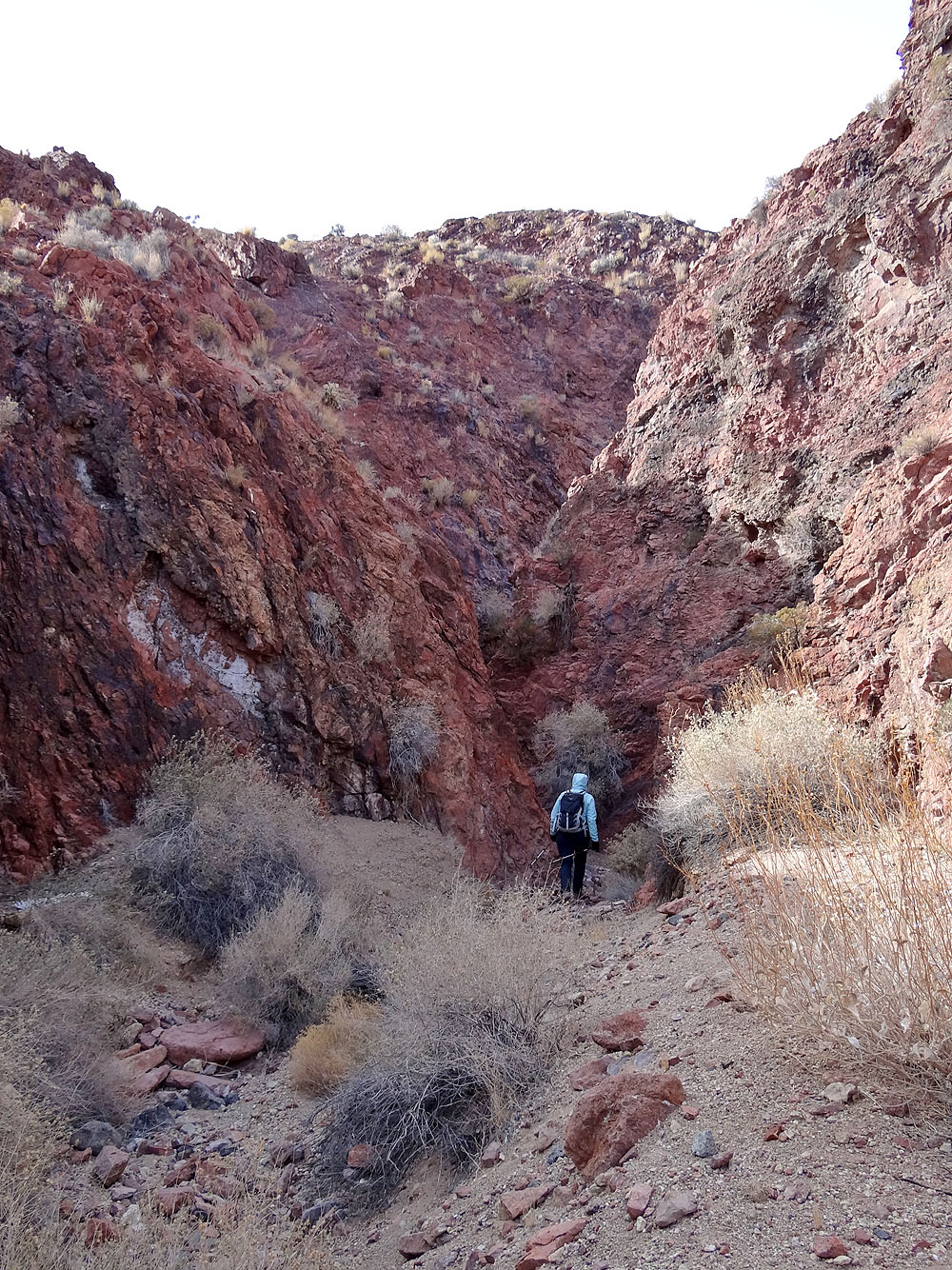
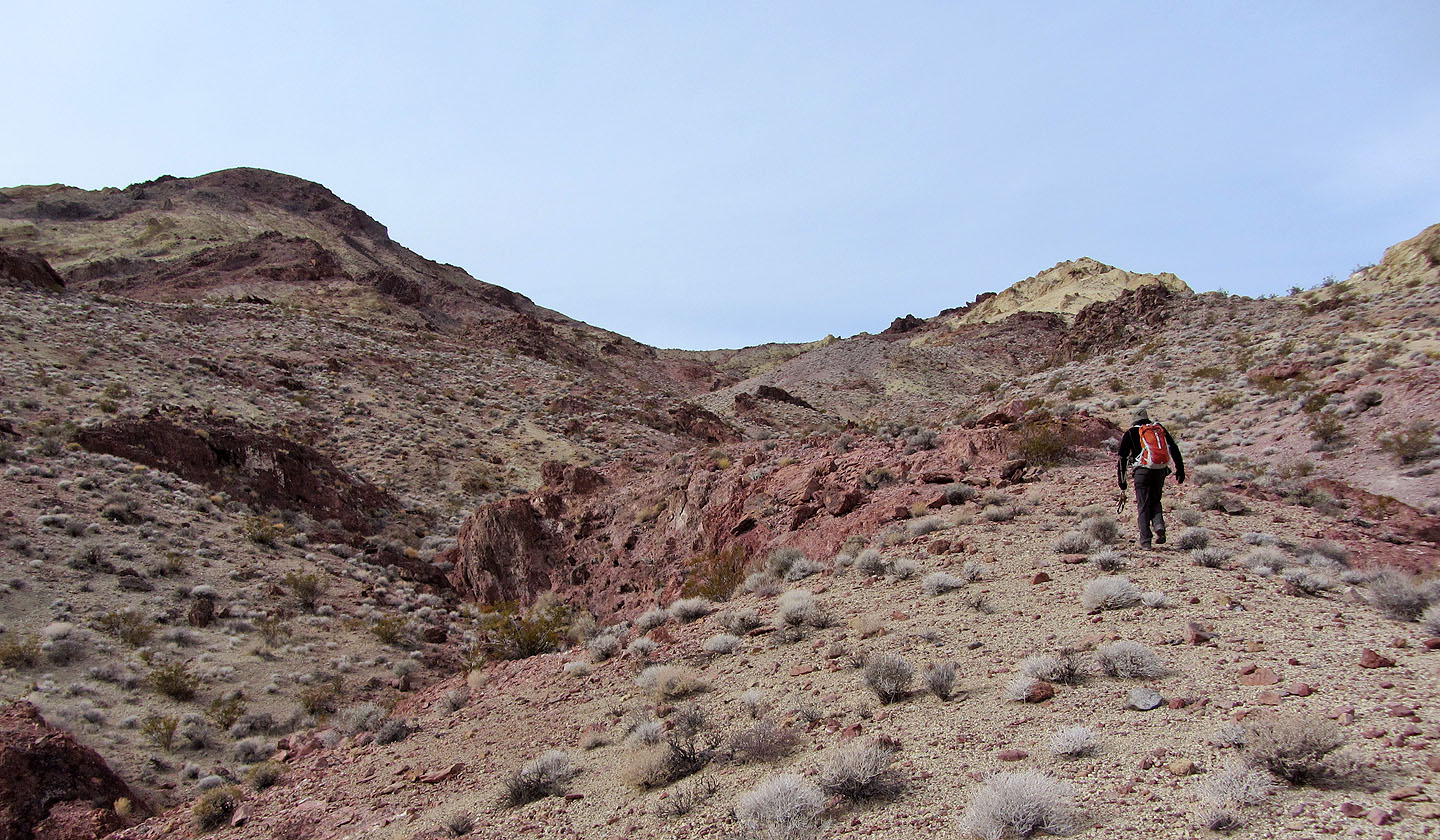
Around this corner we found a dry falls too steep to climb.
We backed up and found a way up the ridge on our right.
Looking back at the wash
The wash on the left leads to Montgomery Spring
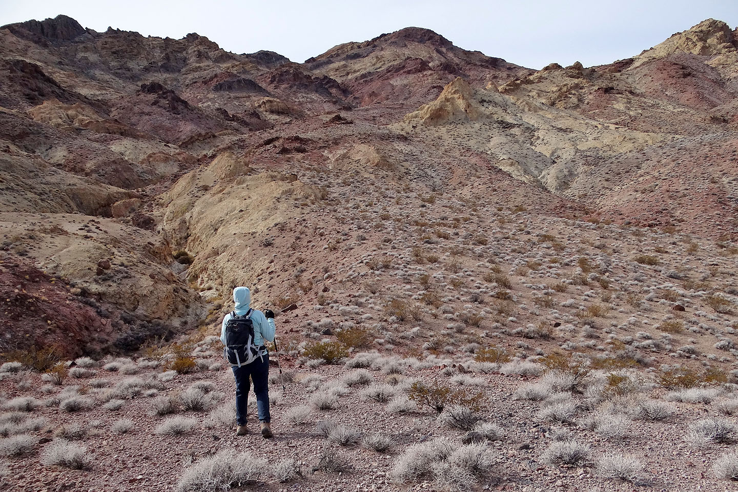
Heading to the saddle, we tried to stay on ridges where travel was easier
Looking back
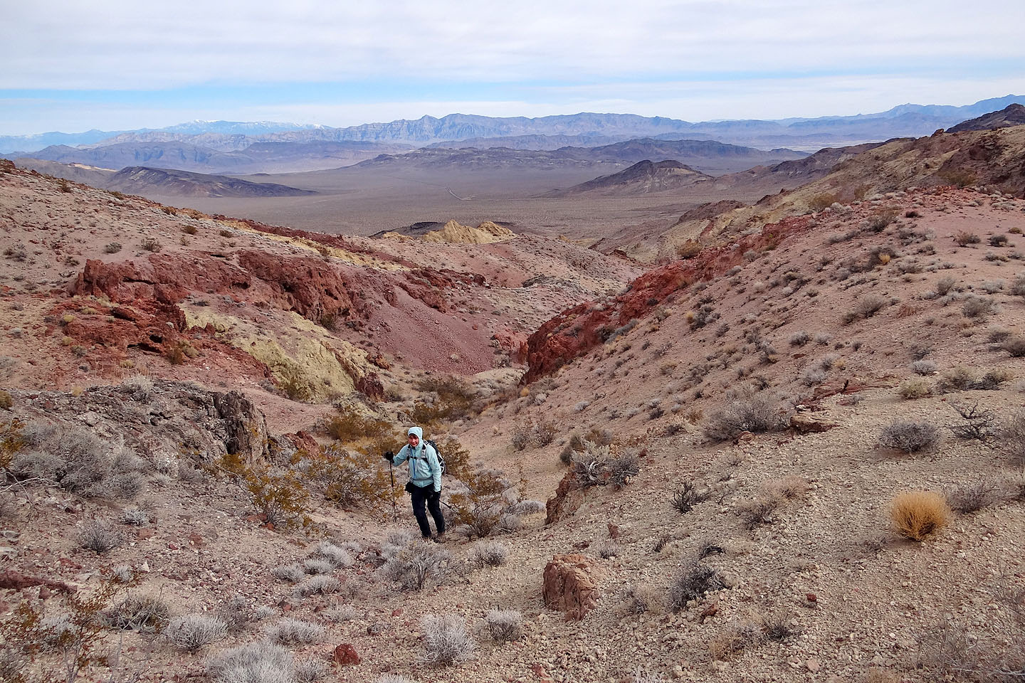
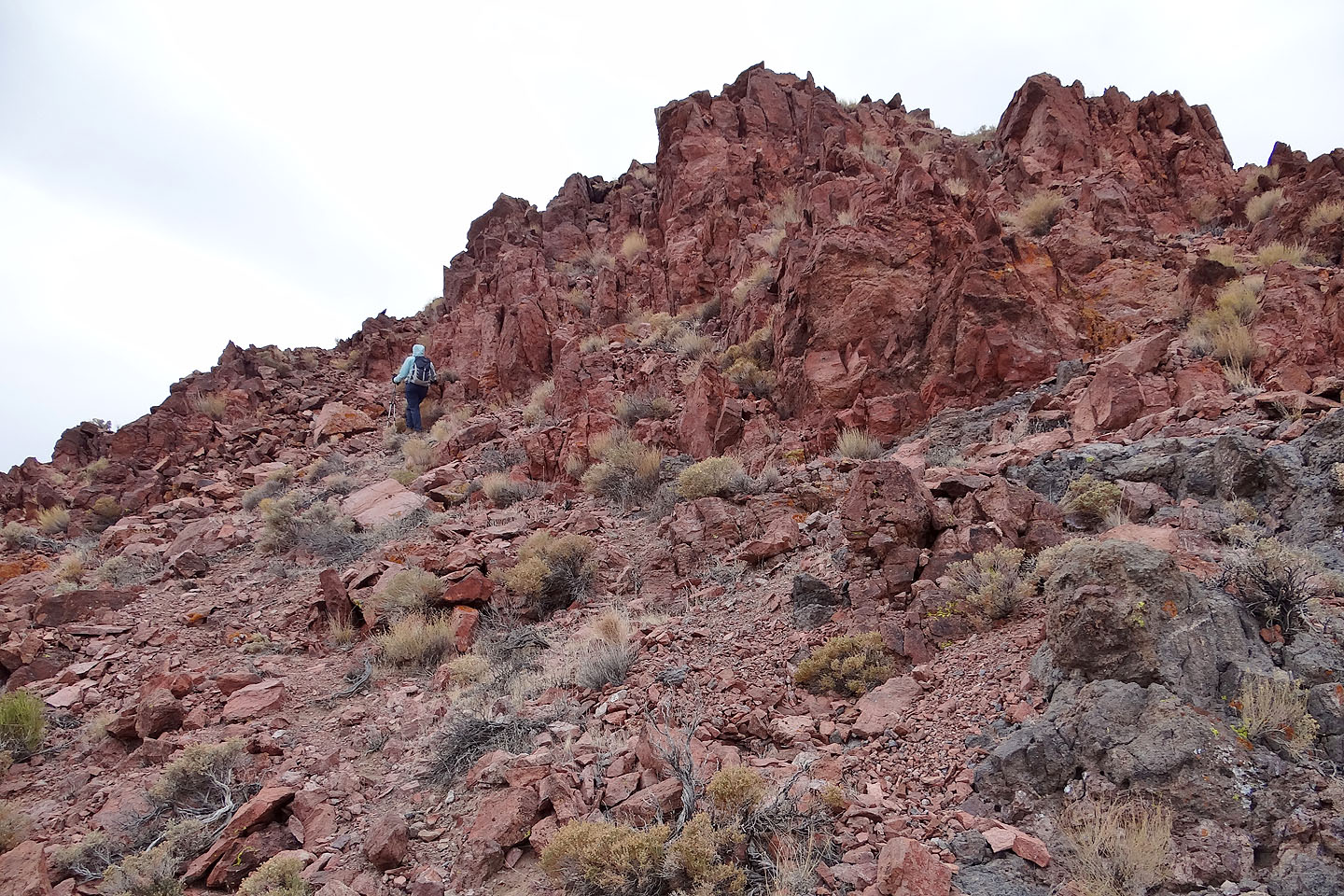
As we neared the saddle the rocks became more vivid
Hiking up to the saddle
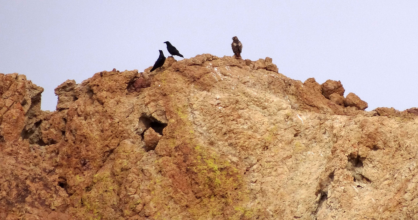
A strange gathering of two crows and a hawk
On the colourful saddle
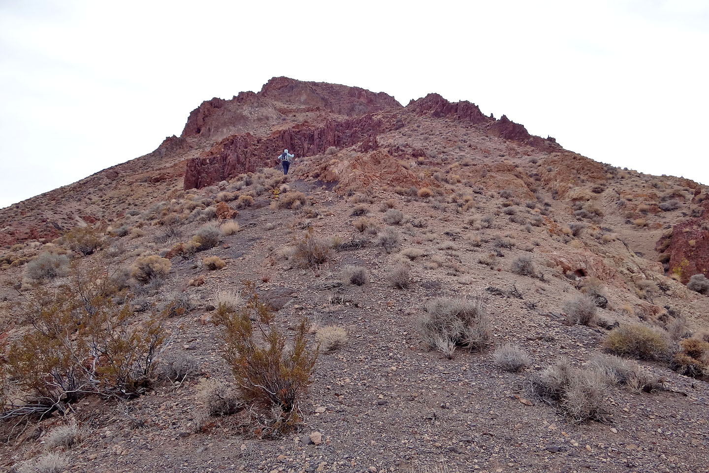
Looking up Salsberry from the saddle
Epaulet Peak lies west (mouse over for a close-up)
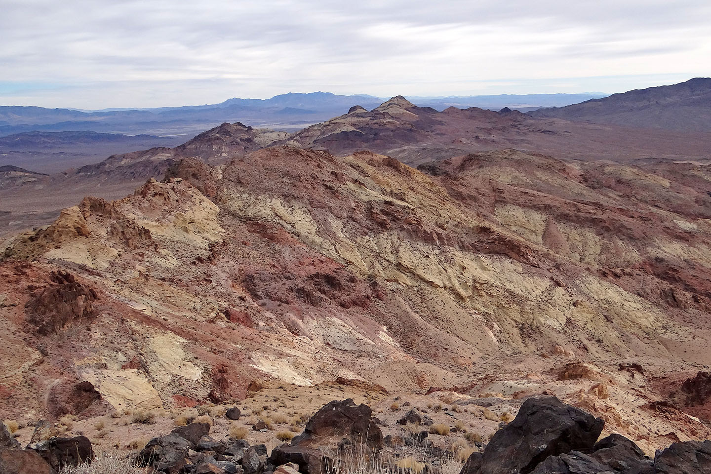
Even a cloudy day couldn't subdue the colours
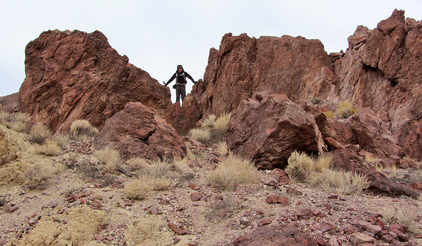
We didn't attempt the notch in the cliff band because of loose rock on the steep
slope above. It's easier to follow a sheep track running left below the cliff band.
Hiking up the sheep track
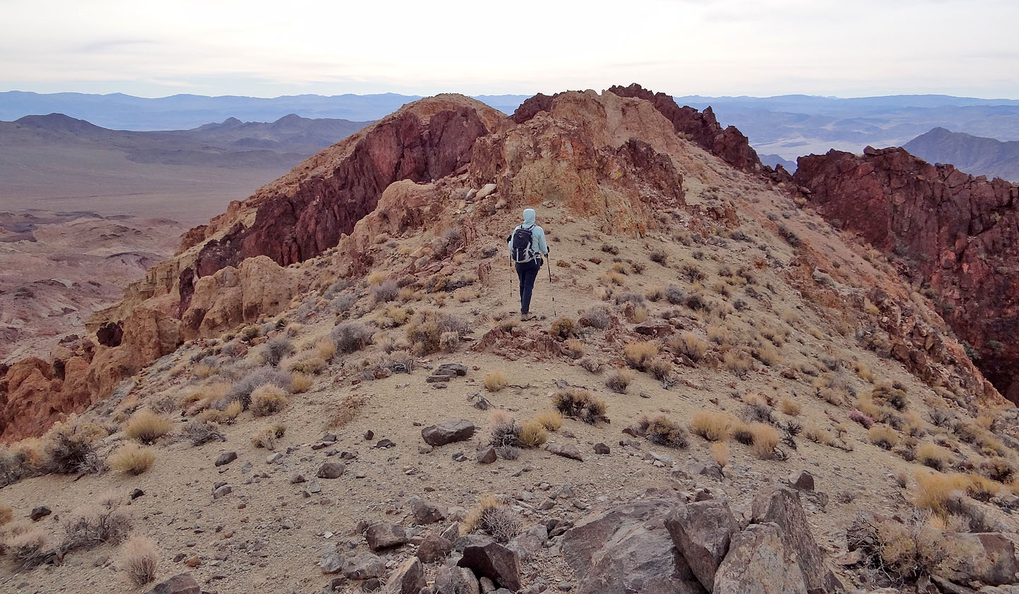
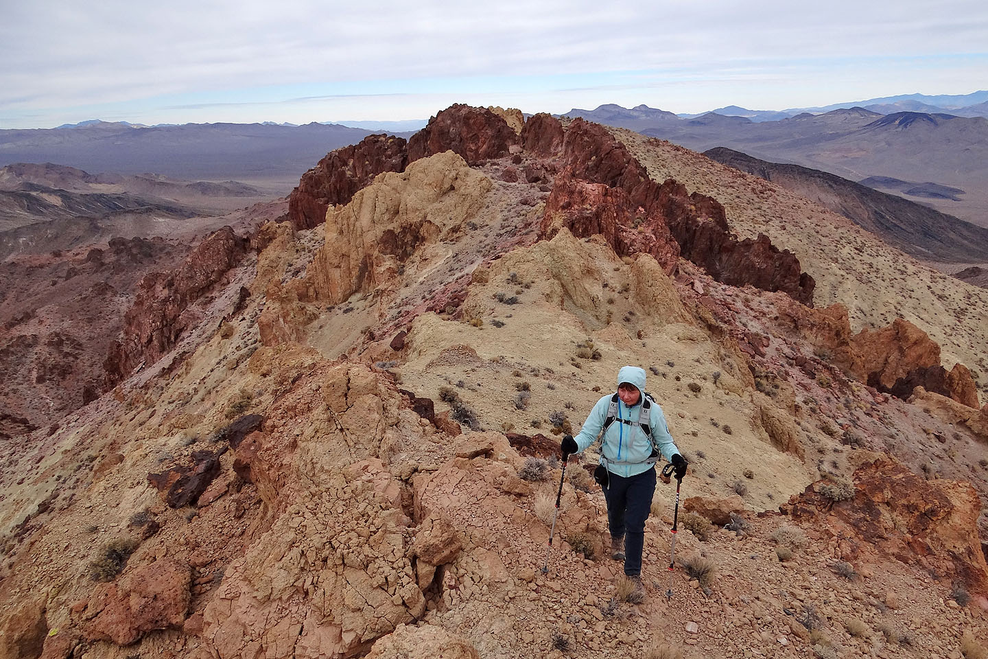
On the summit ridge
Dropping through a notch on the ridge
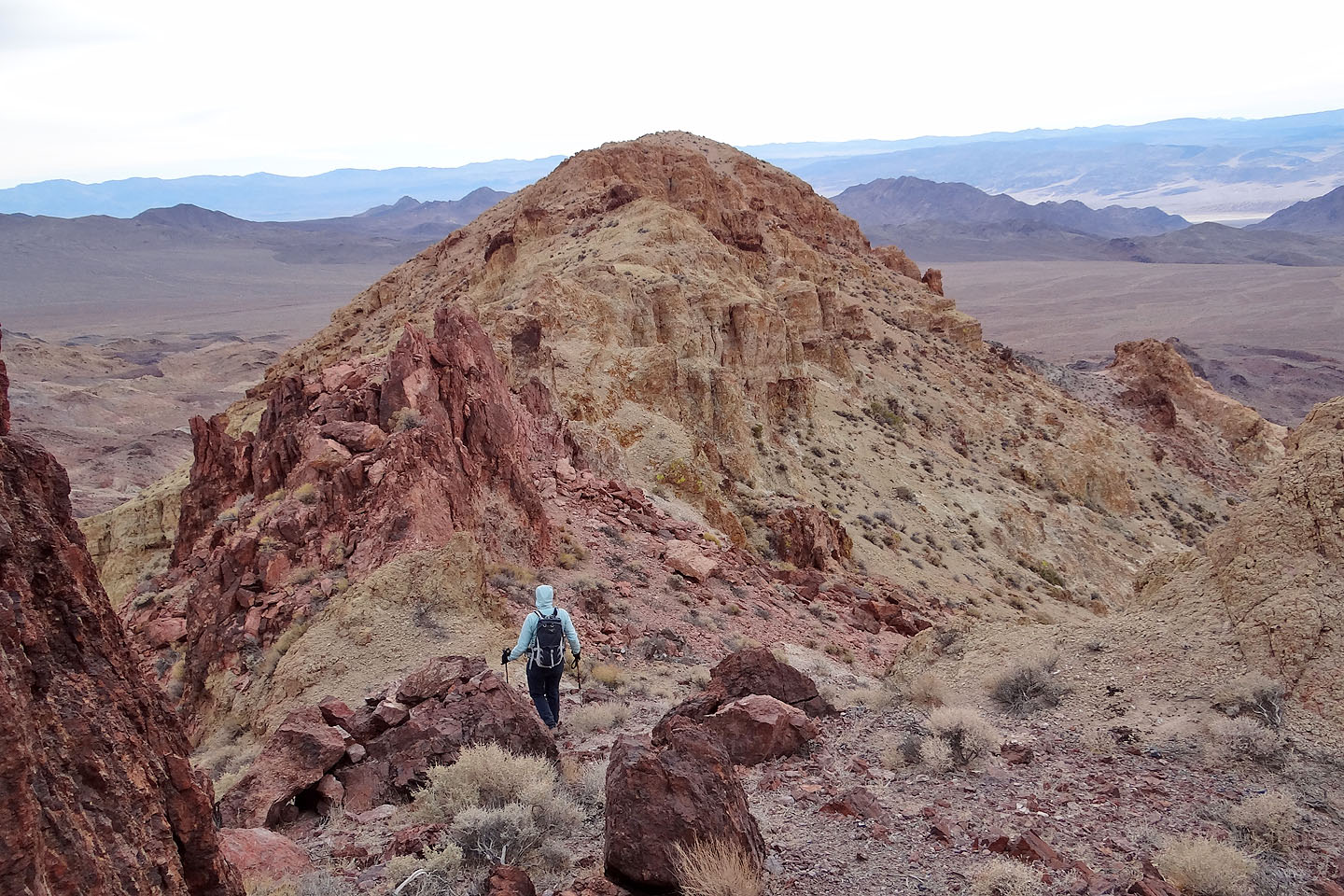
At the end of the ridge we'll find the summit register
Looking back
Dinah makes her way to the summit
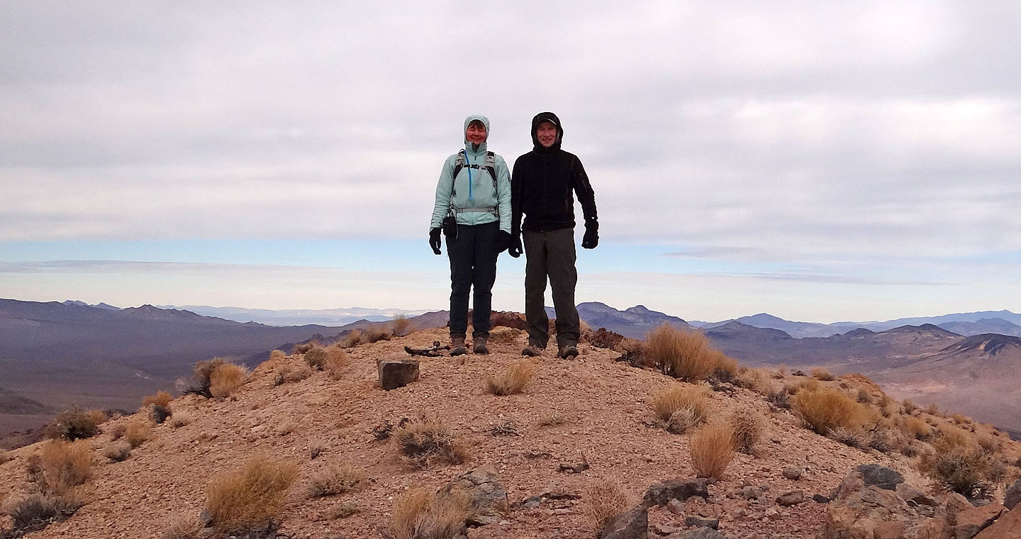
Posing on the summit
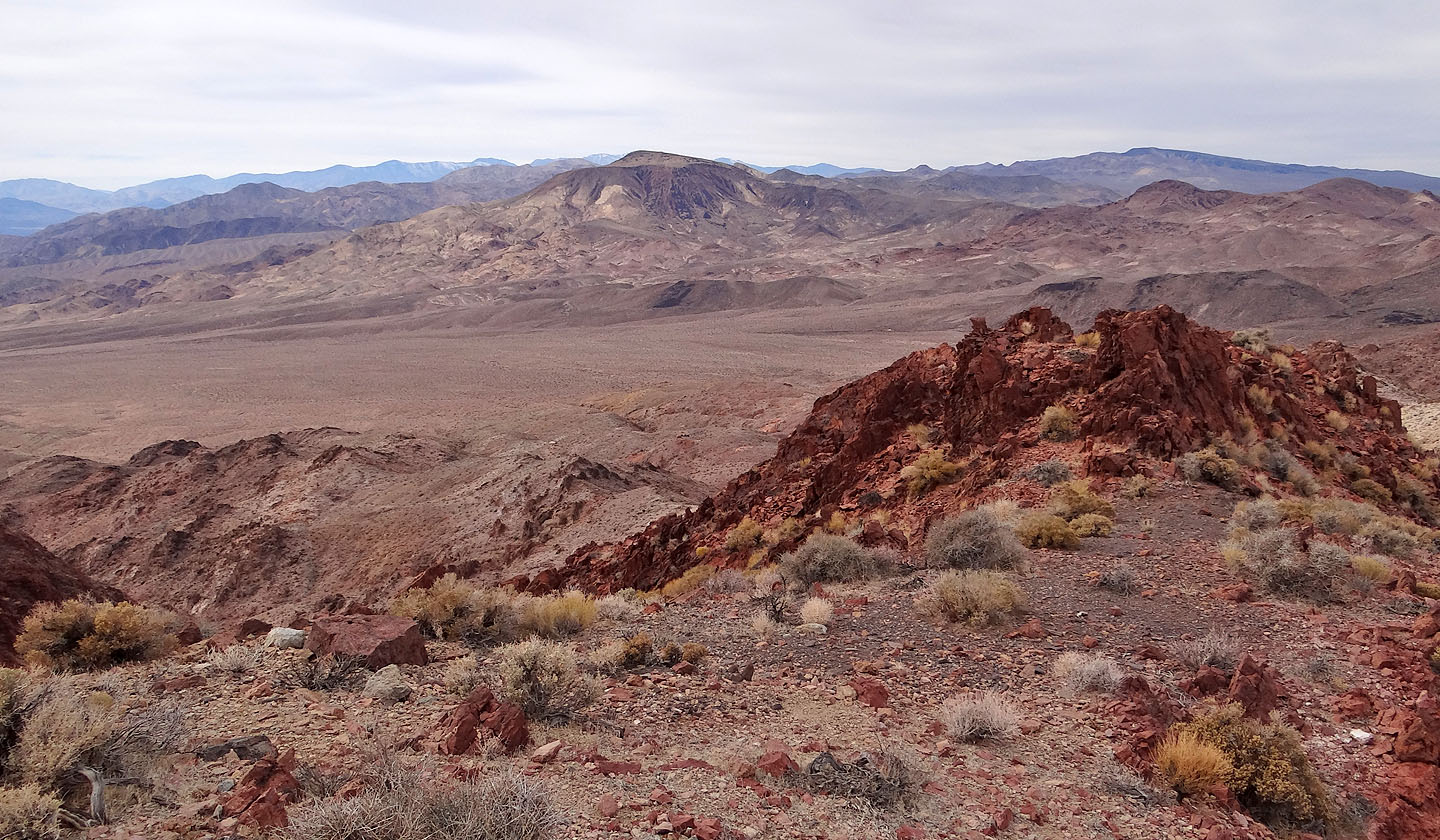
Sheephead Mountain in the Ibex Hills to the north (mouse over for a close-up)
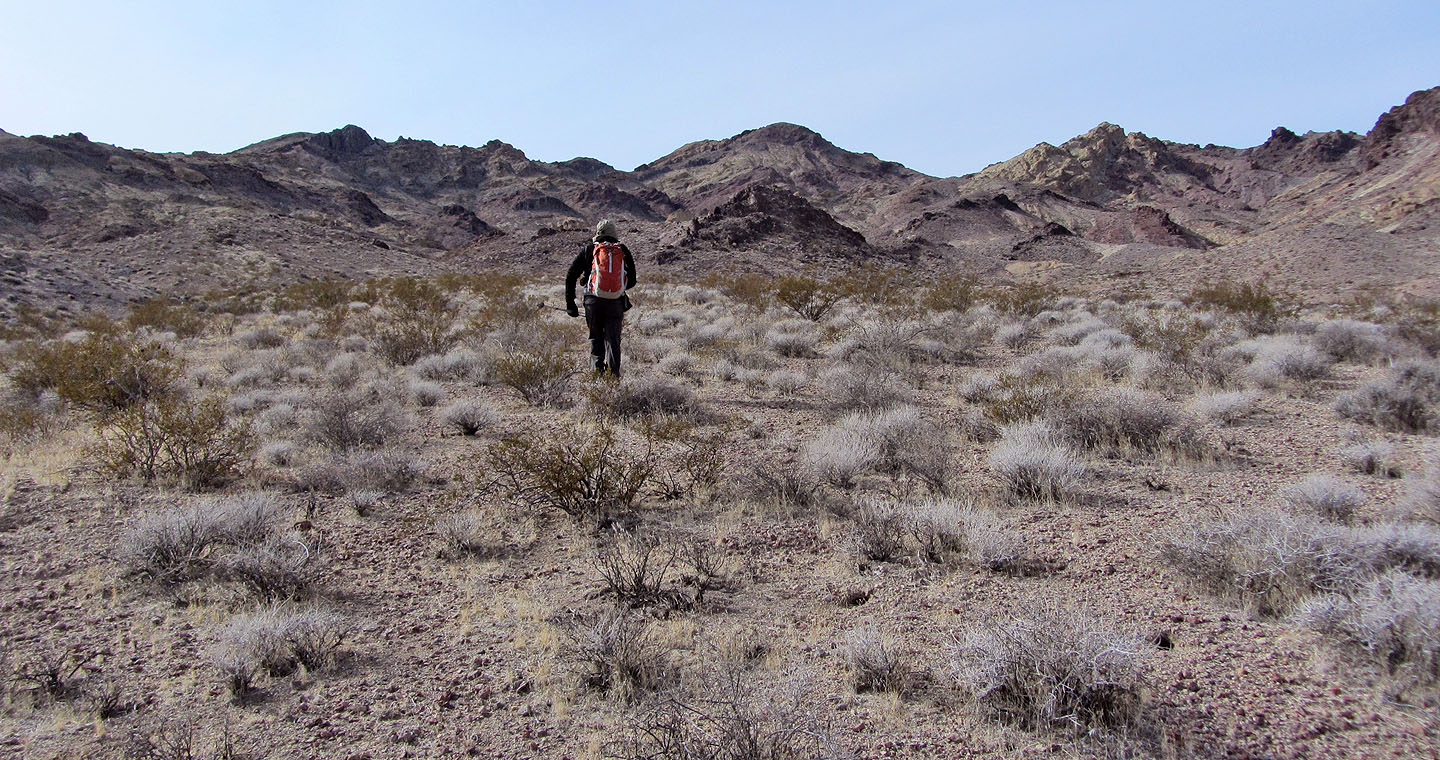
Heading back
Last look at Salsberry Peak on the left from the car (mouse over for a close-up)
 Salsberry Peak (6.0 mi, 4239 ft, 1503 ft)