bobspirko.ca | Home | Canada Trips | US Trips | Hiking | Snowshoeing | MAP | About

Sheephead Mountain
Death Valley, California
April 22, 2014
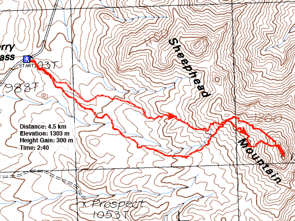
Distance: 4.5 km (2.8 mi)
Cumulative Elevation Gain: 370 m (1214 ft)
Sheephead Mountain is set in one of the most colourful areas in Death Valley, and Andy Zdon describes a route to it in his book Desert Summits. But it’s not the best route. He says to traverse below the ridge to the notch near the summit, but on our descent, we learned that it’s better to follow the ridge.
After Dinah and I parked on Salsberry Pass, we hiked up a trail going to a knoll. But when the path petered out on top of the knoll, we were left wondering which way to go: washes or ridges. Since following a ridge risks losing elevation loss or worse, an impossible downclimb, we opted for a wash approach. We dropped down to the wash on our left.
We followed the wash until it became necessary to ascend the nearest slope. Keeping Zdon's advice in mind, we stayed below the ridge crest. Side washes made this difficult and at times we were forced to lose elevation or go around.
Throughout the morning the wind had been rising. Heading to the summit notch, we now felt its fury. Normal conversations became impossible; we had to put our heads together and yell to be heard above the roaring gale. After we reached the notch, we hiked a short distance and scrambled up to a tiny space that was the summit of Sheephead Mountain. But because of the extreme wind, it was too dangerous to stand there. We risked being blown over the drop on the east side. Dinah quickly backed down. I placed one foot on top but kept my other foot several inches lower on the windward side. Even so, while I was shooting a summit panorama a gust of wind managed to knock me to the ground.
After the business of taking photos, we retreated. Not only was it feasible to follow the ridge crest back, it was also preferable. Fortunately the fierce wind posed little danger on the broad ridge. We followed the crest until we were above the wash that we had exited earlier.
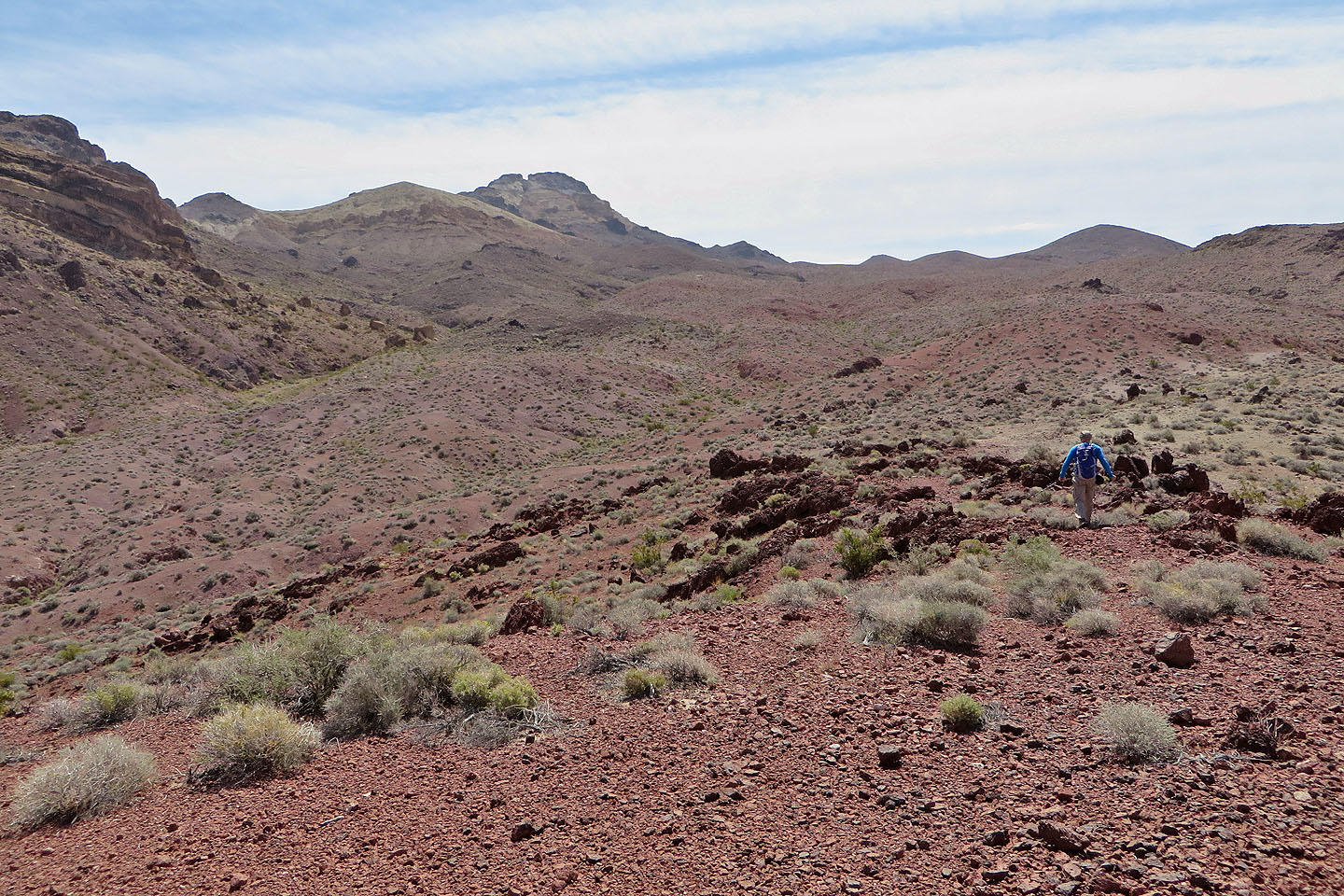
From our vantage point, we could see that the low ridges below led neatly back to the starting knoll. Our approach up the wash may have been practical, but going back along these ridges was delightful. However, we felt the full force of the wind all the way to our car. So powerful was the wind, that after getting into our car I had trouble closing the door. I asked Dinah to hold my right arm so I could brace myself while I tugged the driver's door closed with my left hand.
Driving back we heard on the radio that there was a wind warning for high profile vehicles. I don't know what the wind speed was on Sheephead Mountain, but in Vegas it was 50 mph gusting to 80 mph.
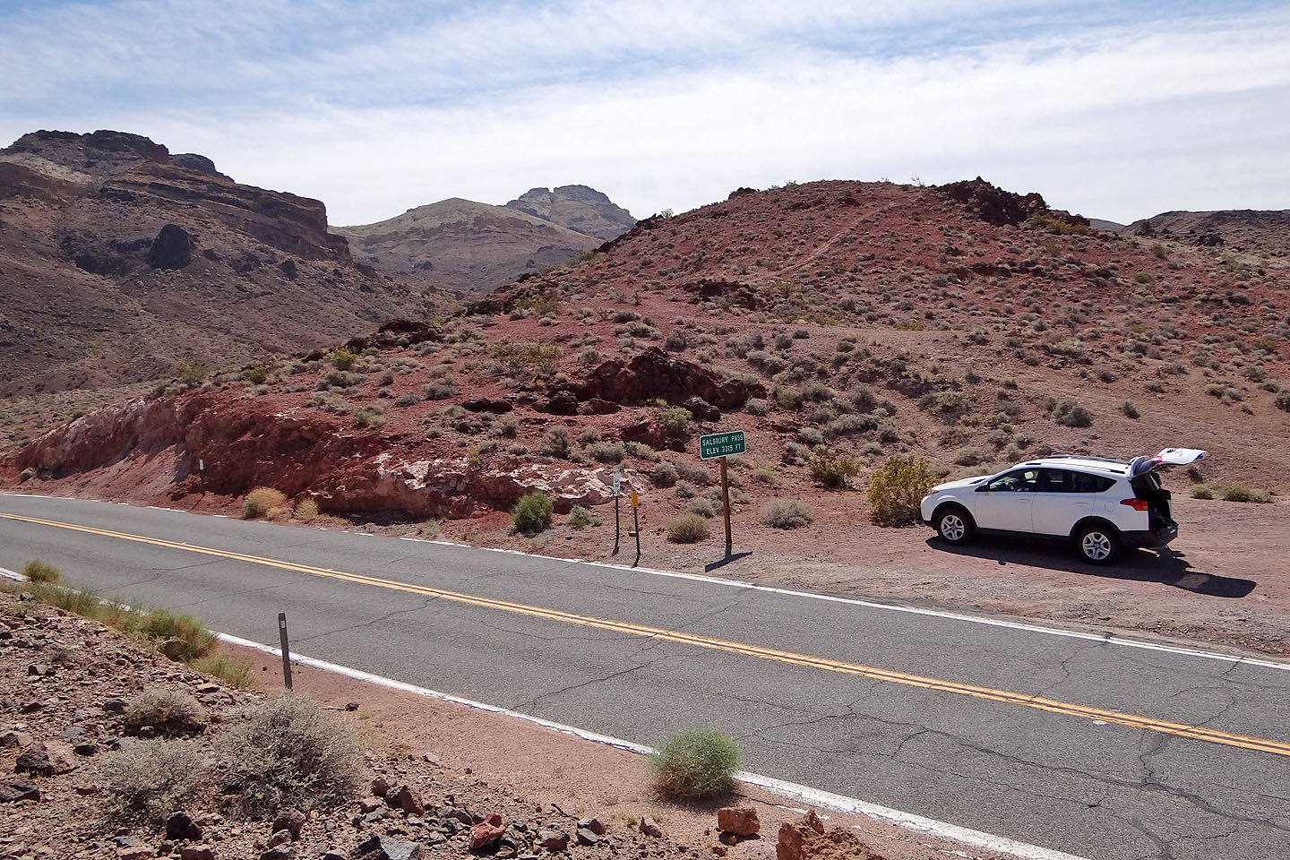
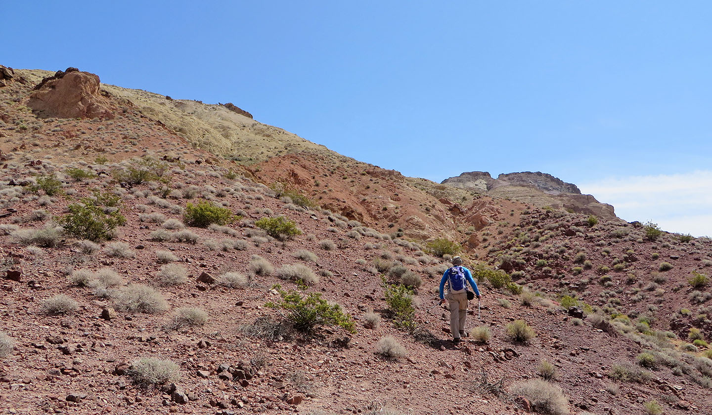
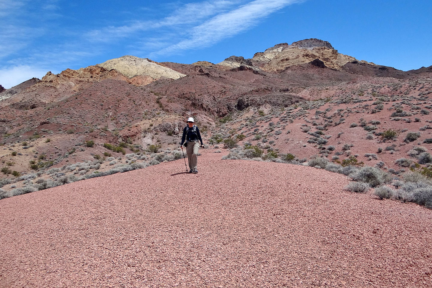
From Salsberry Pass we started up a trail on a nearby knoll. The distinctive notch of
Sheephead Mountain can be seen in the background.
After the knoll we dropped into the wash on our left
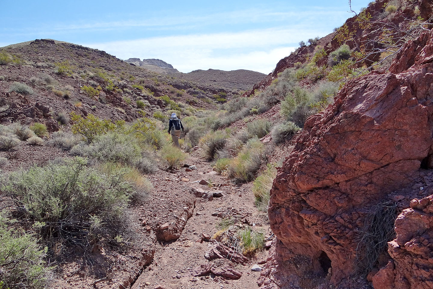
Following the wash
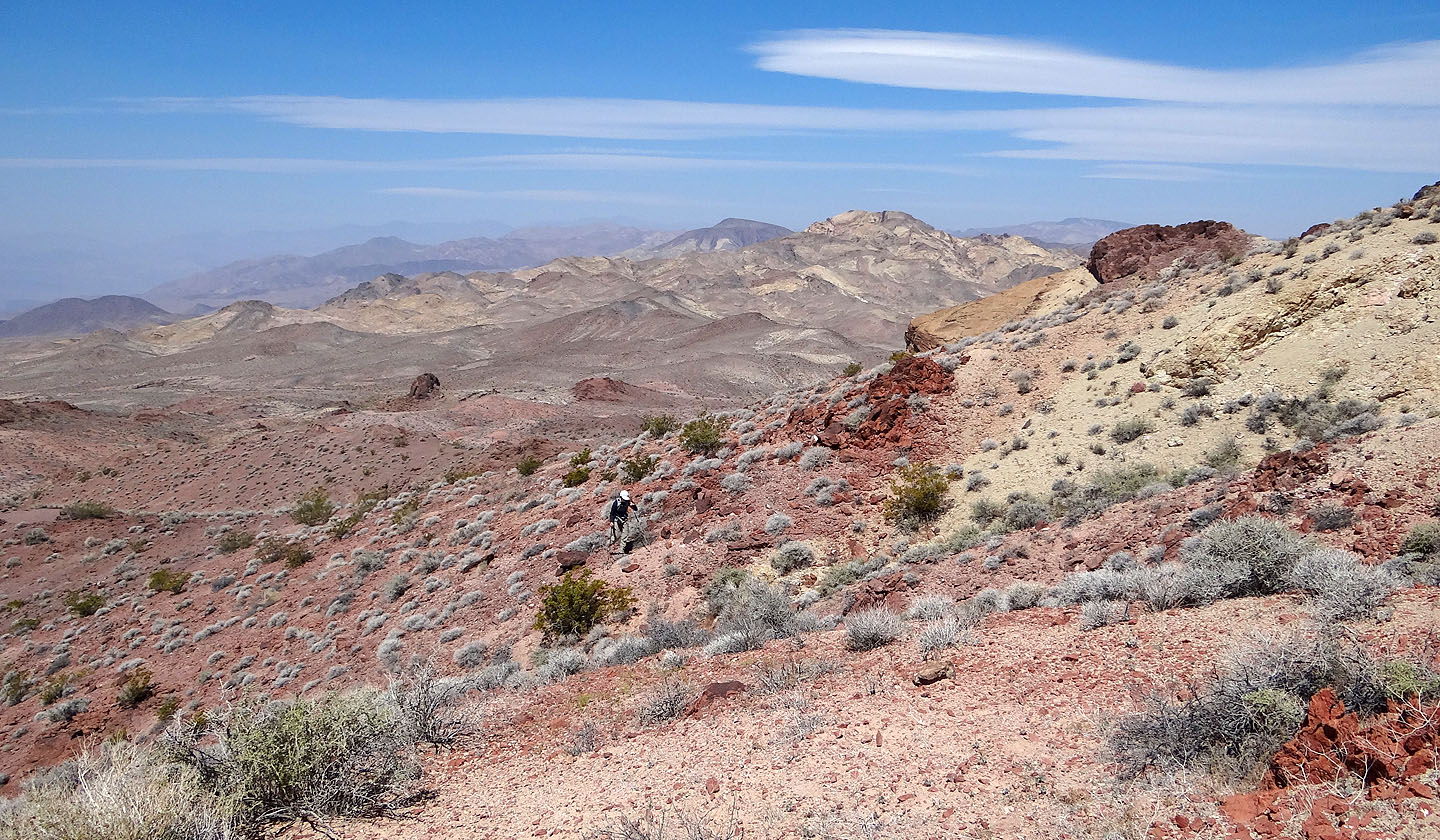
Even from the wash we could appreciate the colourful landscape
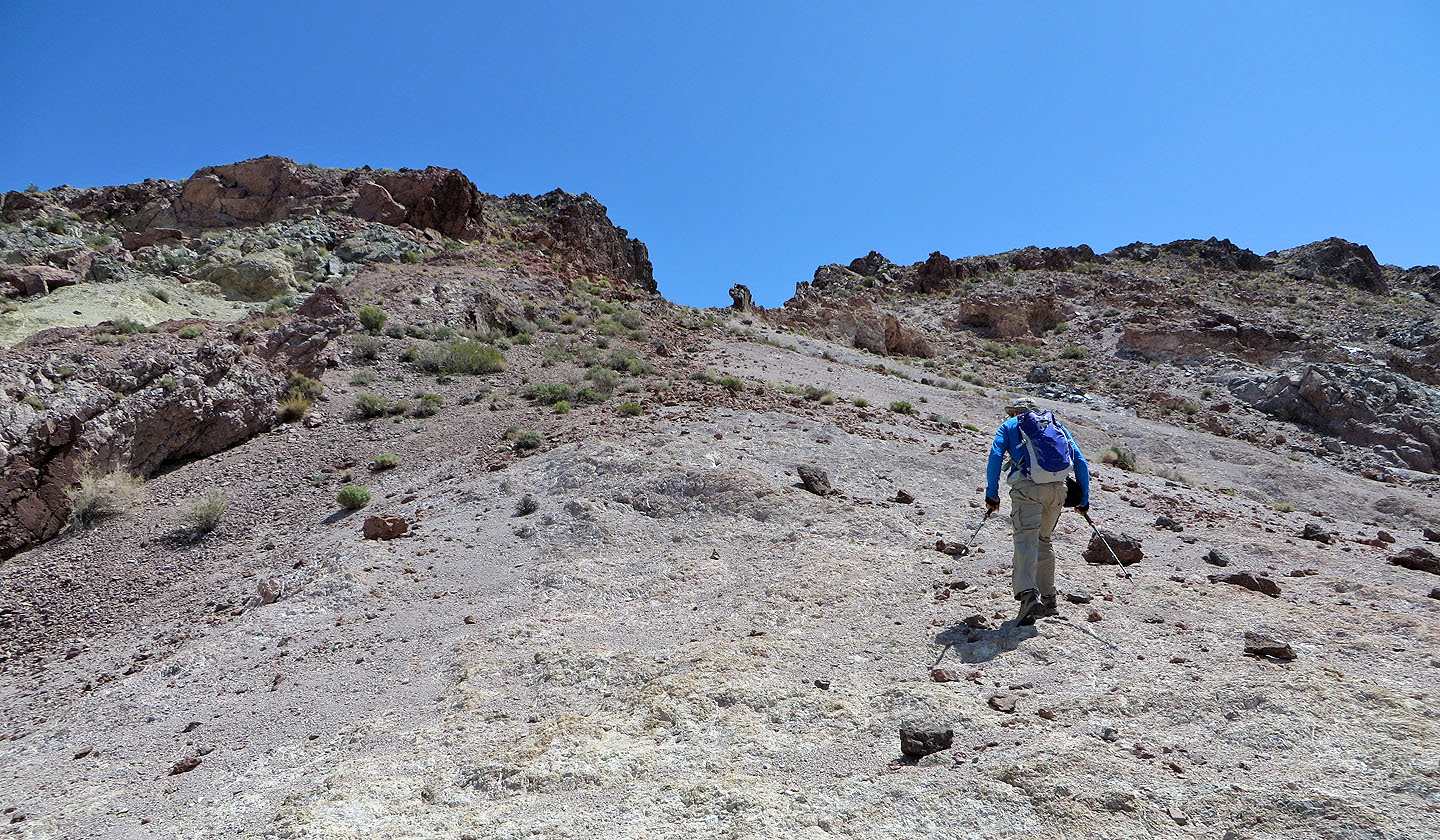
After climbing out of the wash we can see we are on course for the notch
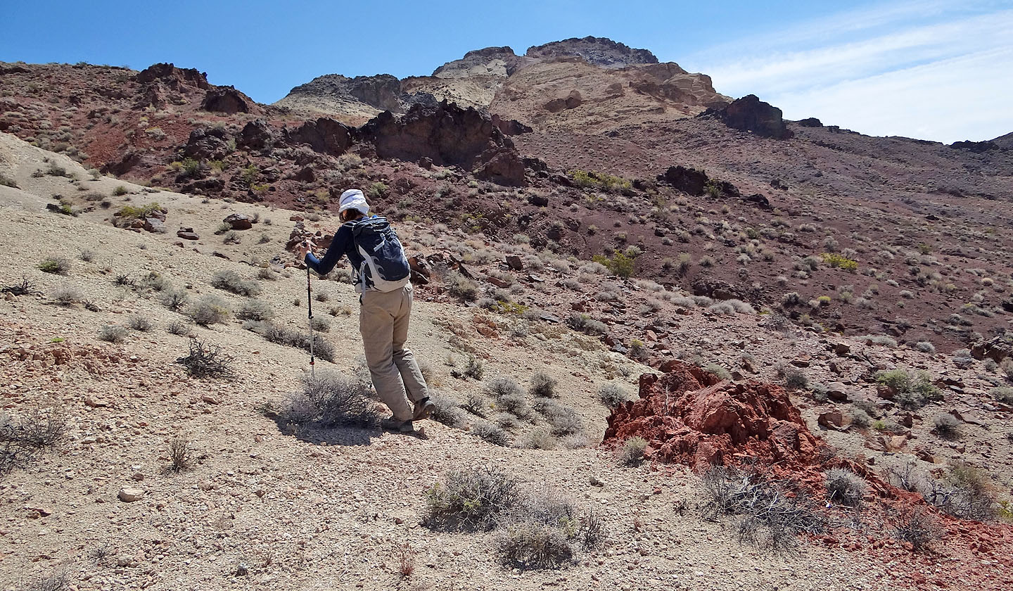
Behind us is Salsberry Peak, another beautifully coloured desert peak
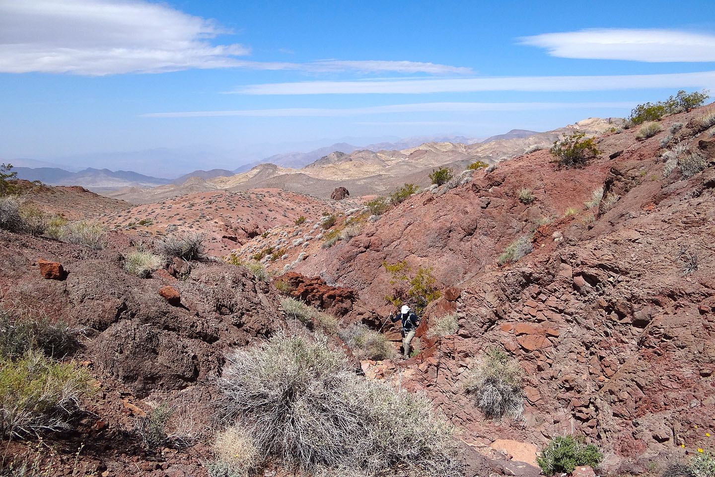
Intervening ridges prevented us from heading directly to the notch

We were forced to go around side washes like this one
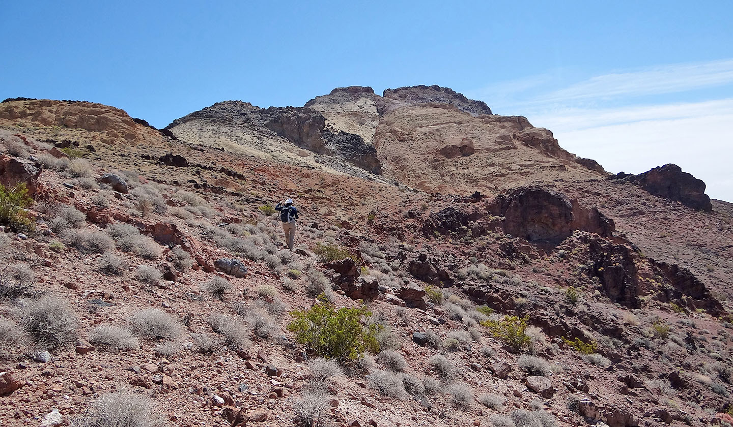
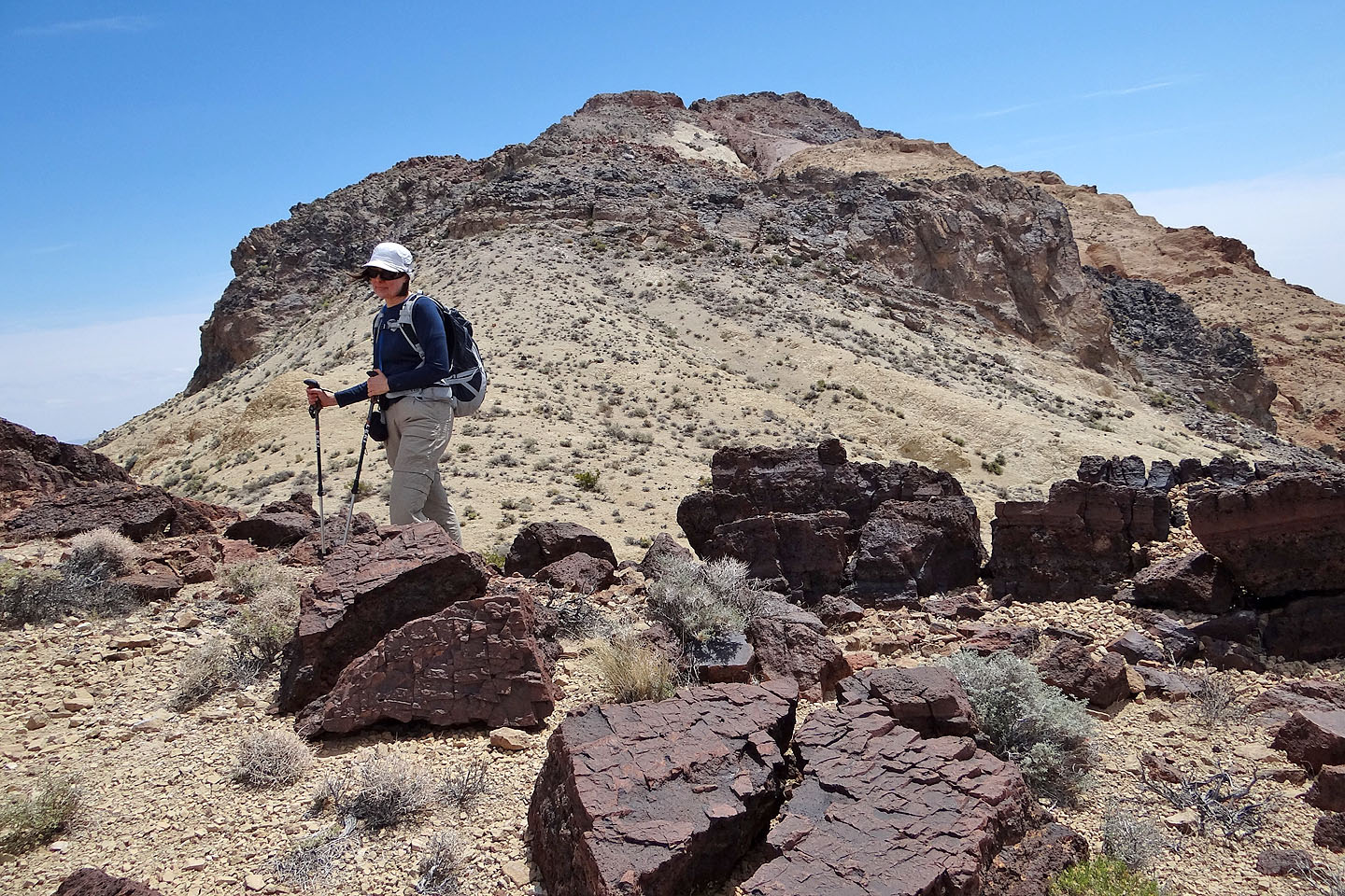
We'll cross below the black rock ahead
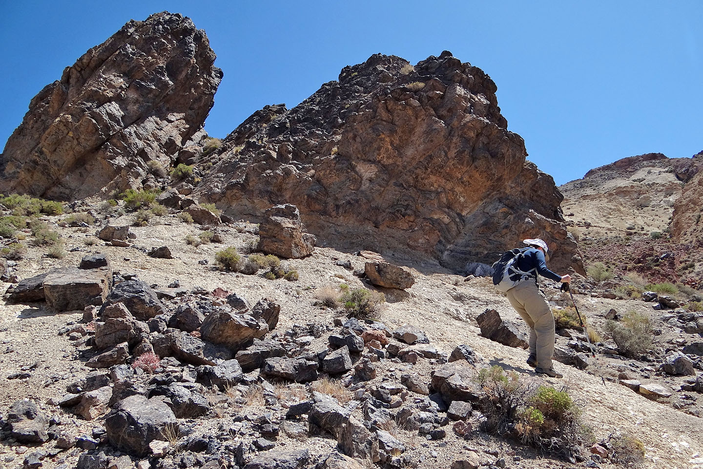
Traversing under the black rocks

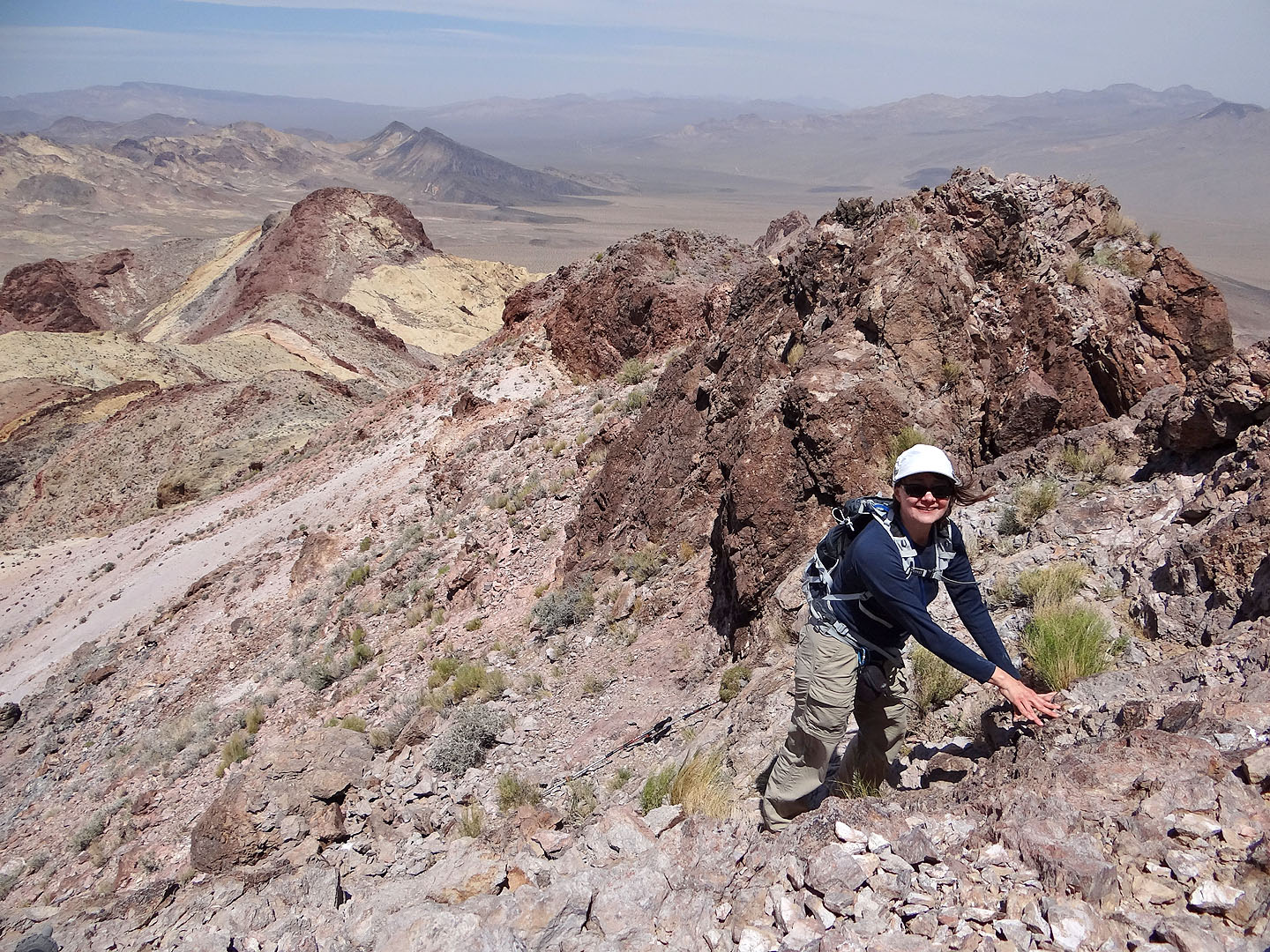
After dropping down and crossing a wash, the summit was somewhere above us

Behind us is the black rock while far below is the wash we crossed
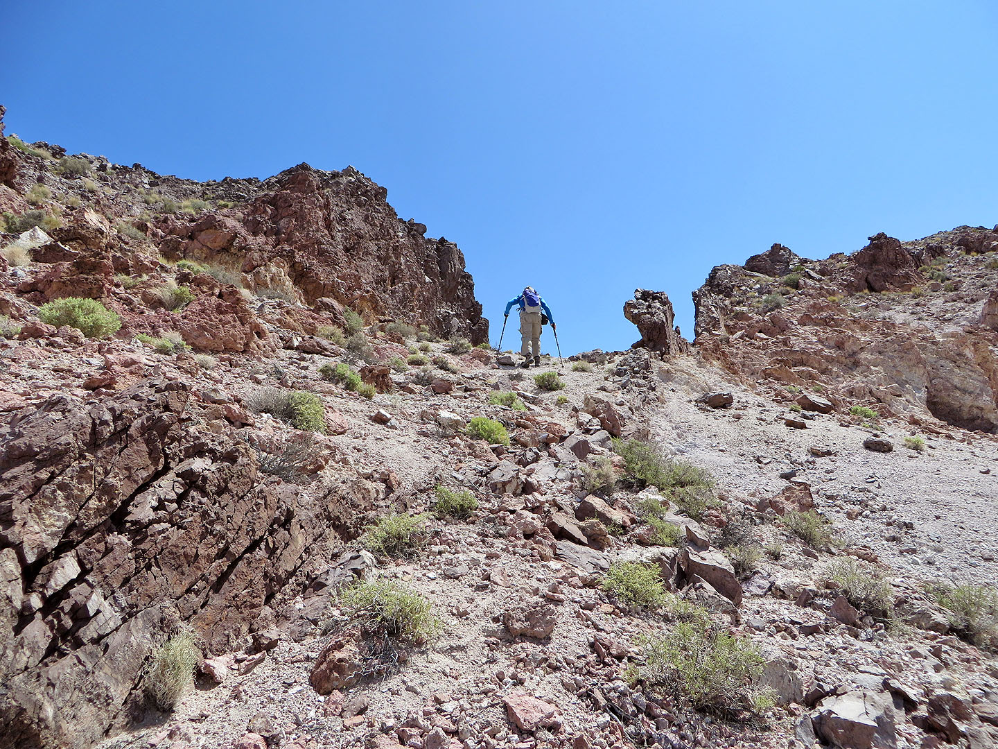
Heading to the notch
The notch (mouse over to look through it)
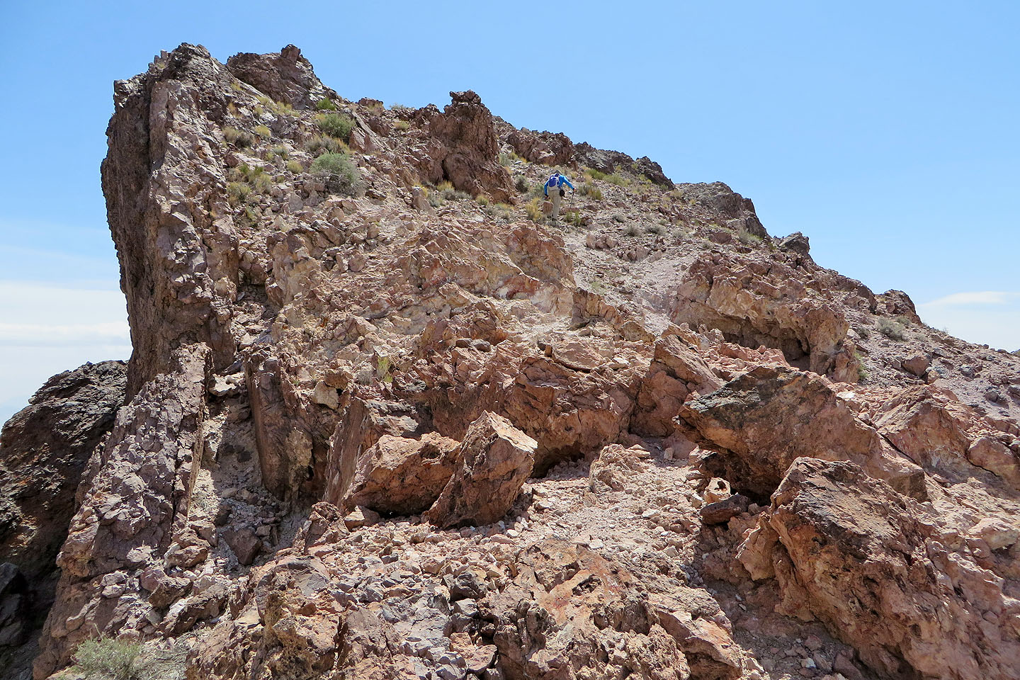
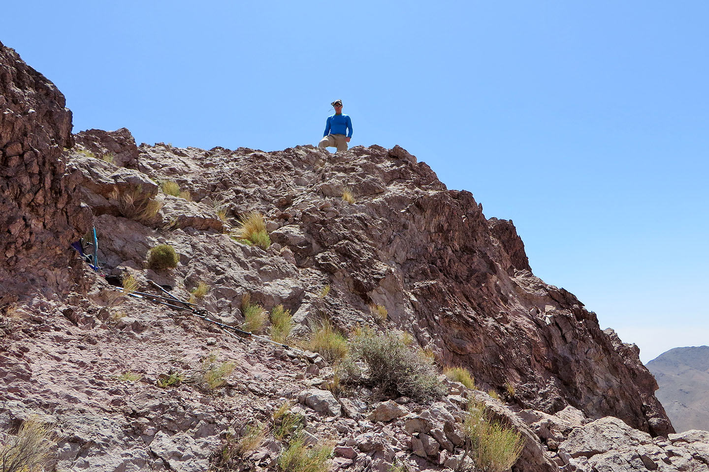
From the notch we made our way to the summit
Dinah begins scrambling up
On the summit
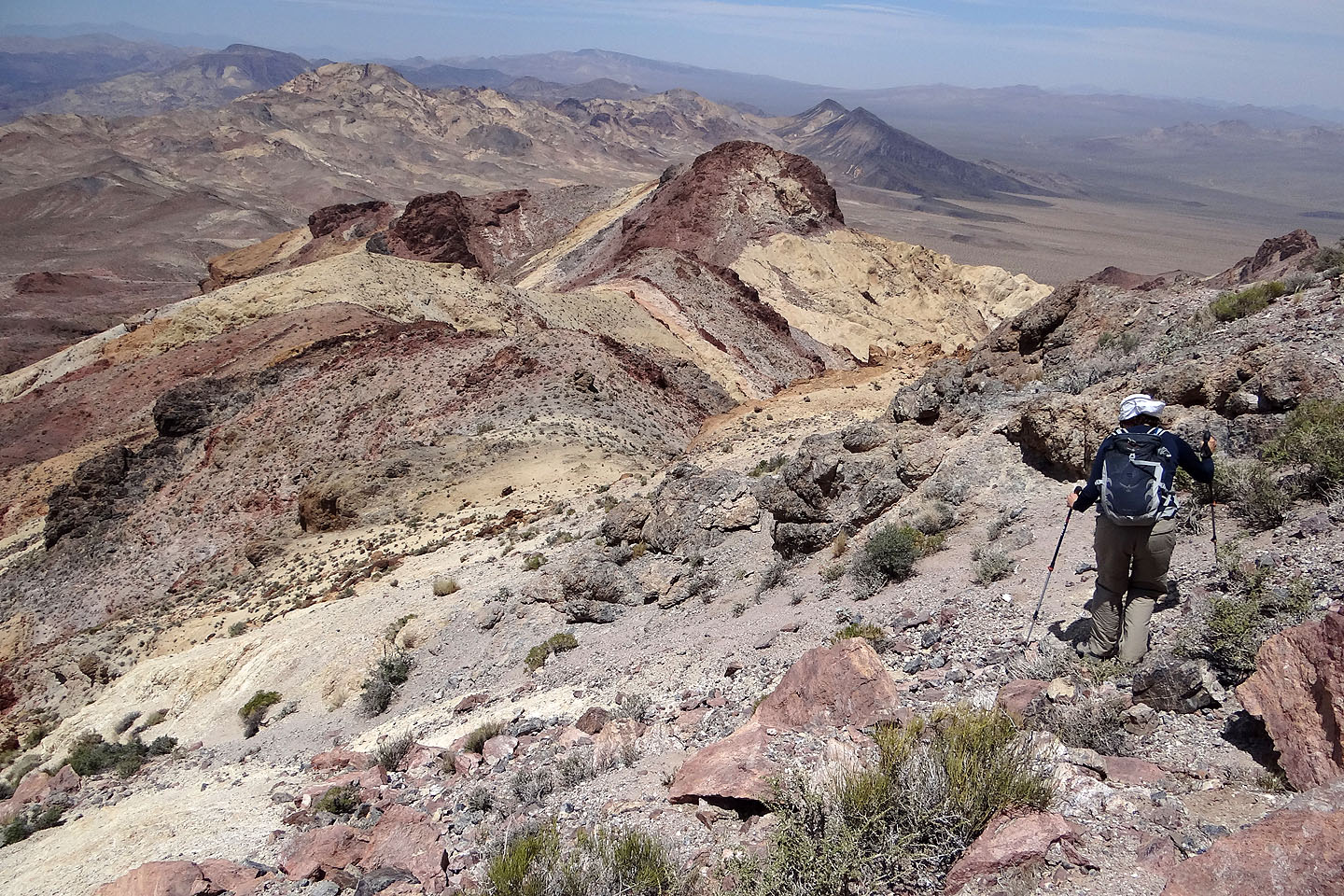
Heading down from the summit

Following the ridge down after the notch
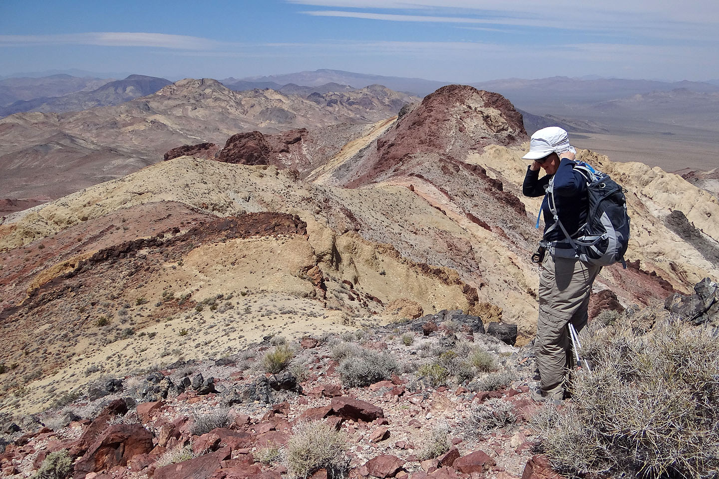
Dinah pauses to secure her hat in the terrific wind
Looking back at the summit
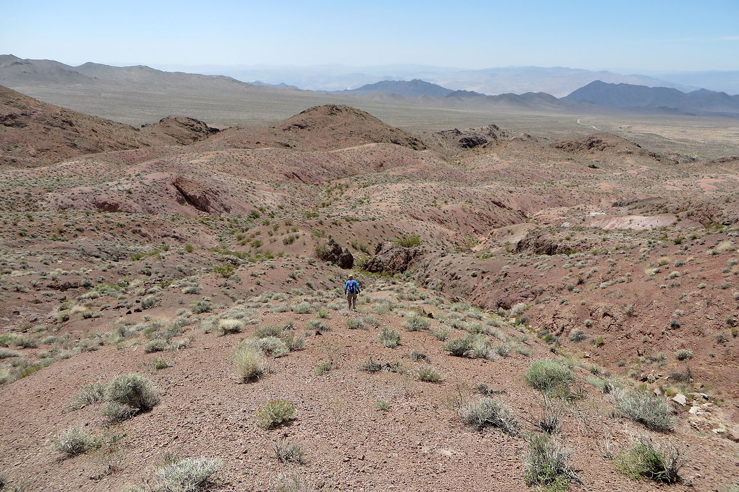
After dropping down the west side of the ridge, we see that we can follow low ridges back
We have two landmarks to guide us back: a black pinnacle and the starting knoll appear
above Dinah
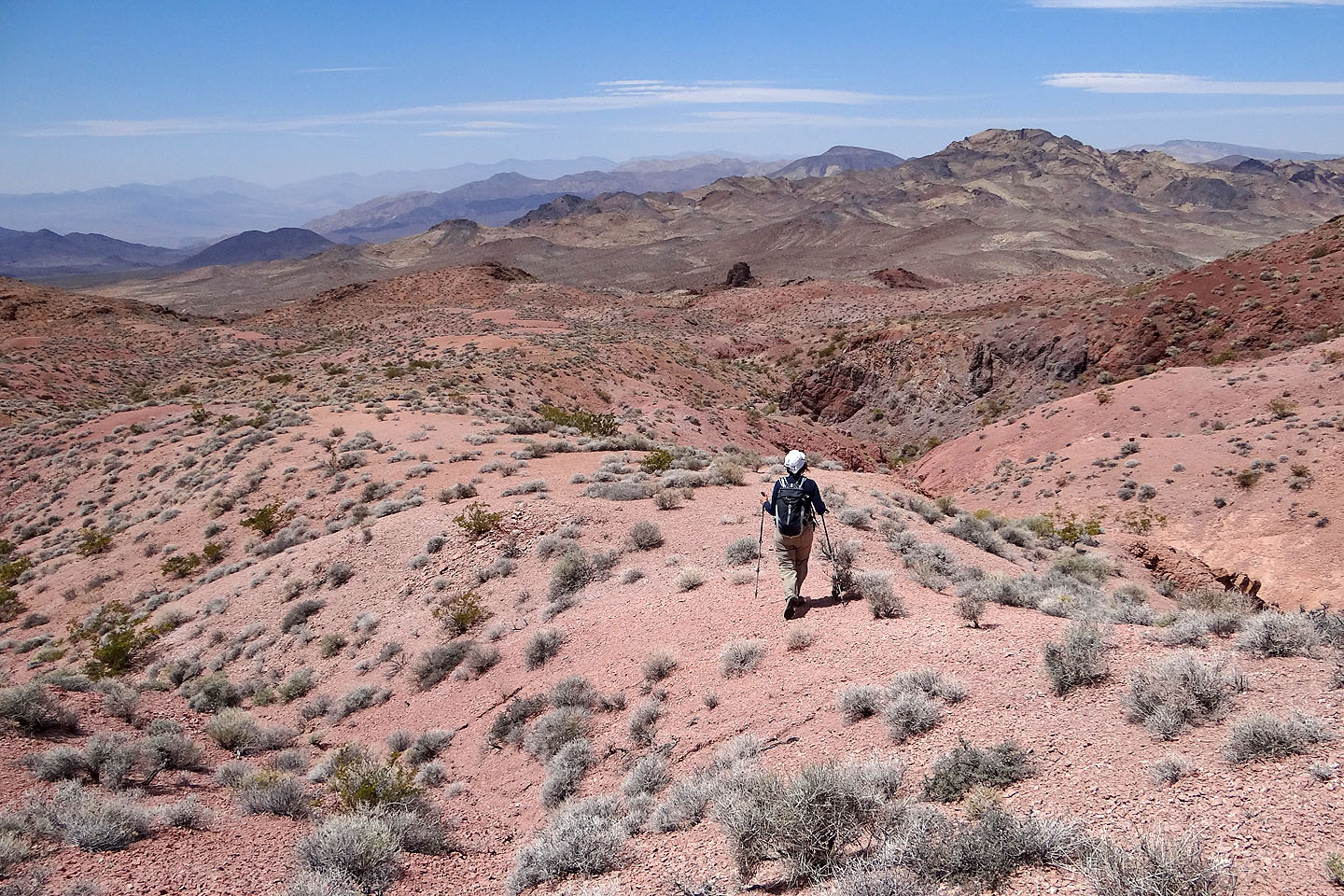
Following a strangely barren ridge section
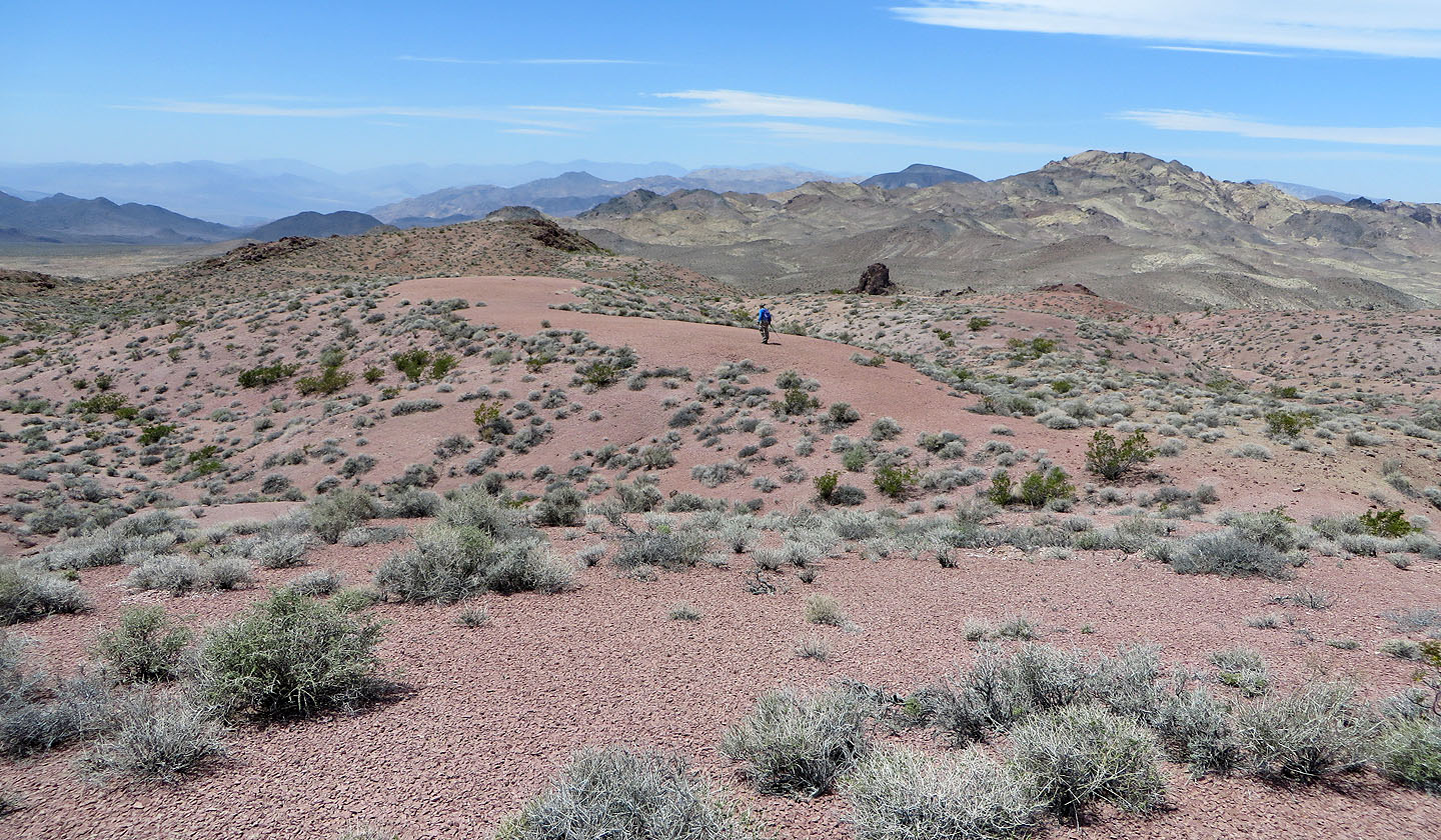
Looking back at Sheephead Mountain
Salsberry Peak (2.8 mi, 4275 ft, 984 ft)