bobspirko.ca | Home | Canada Trips | US Trips | Hiking | Snowshoeing | MAP | About

Hector Lower South Ridge
Banff National Park, Alberta
March 23, 2002
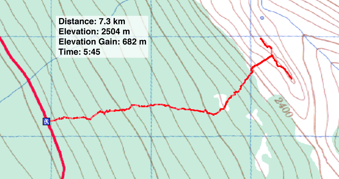
Distance: 7.3 km (4.5 mi)
Cumulative Elevation Gain: 720 m (2362 ft)
The first time Dinah and I explored the area south of Mount Hector, we set off for the lower south ridge (not to be confused with the higher South Ridge which we did years later). We parked on the side of the road on HWY 93 and started up. After snowshoeing in the dense forest at the bottom, it was a pleasant surprise to reach the semi-open terraces higher up. The terraces were a rewarding objective in themselves, but we continued climbing.
After reaching the treeline, the slope steepened considerably. We were a bit concerned about avalanche danger, although the windward side of the slope wasn't under heavy snow. We exercised caution until we reached the top of the ridge. Once on the crest, we enjoyed exploring the ridge before retracing our steps back to the car.
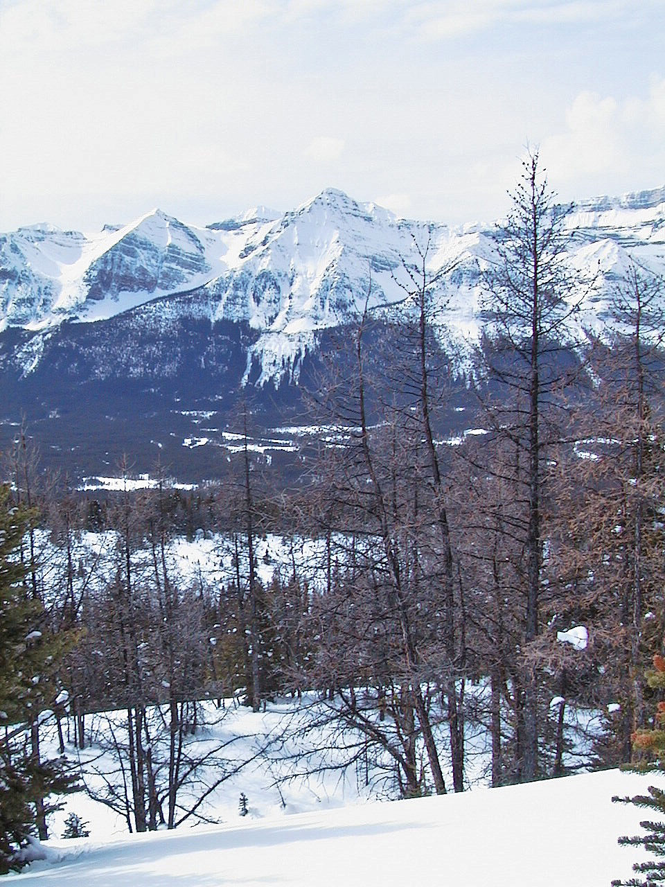
The mid slopes are gently terraced with plenty of open areas
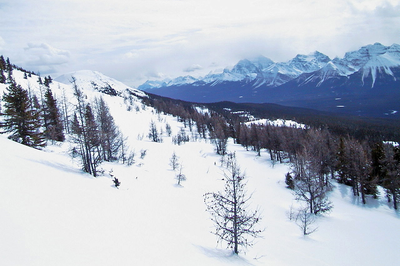
We crossed this large, open terrace
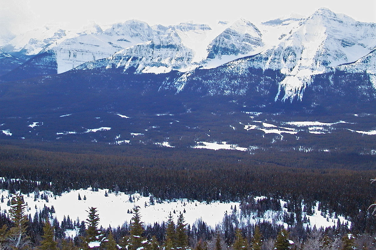
Looking back at the terrace. The Waputik Range lies southwest.
Bare rock in some places on the ridge
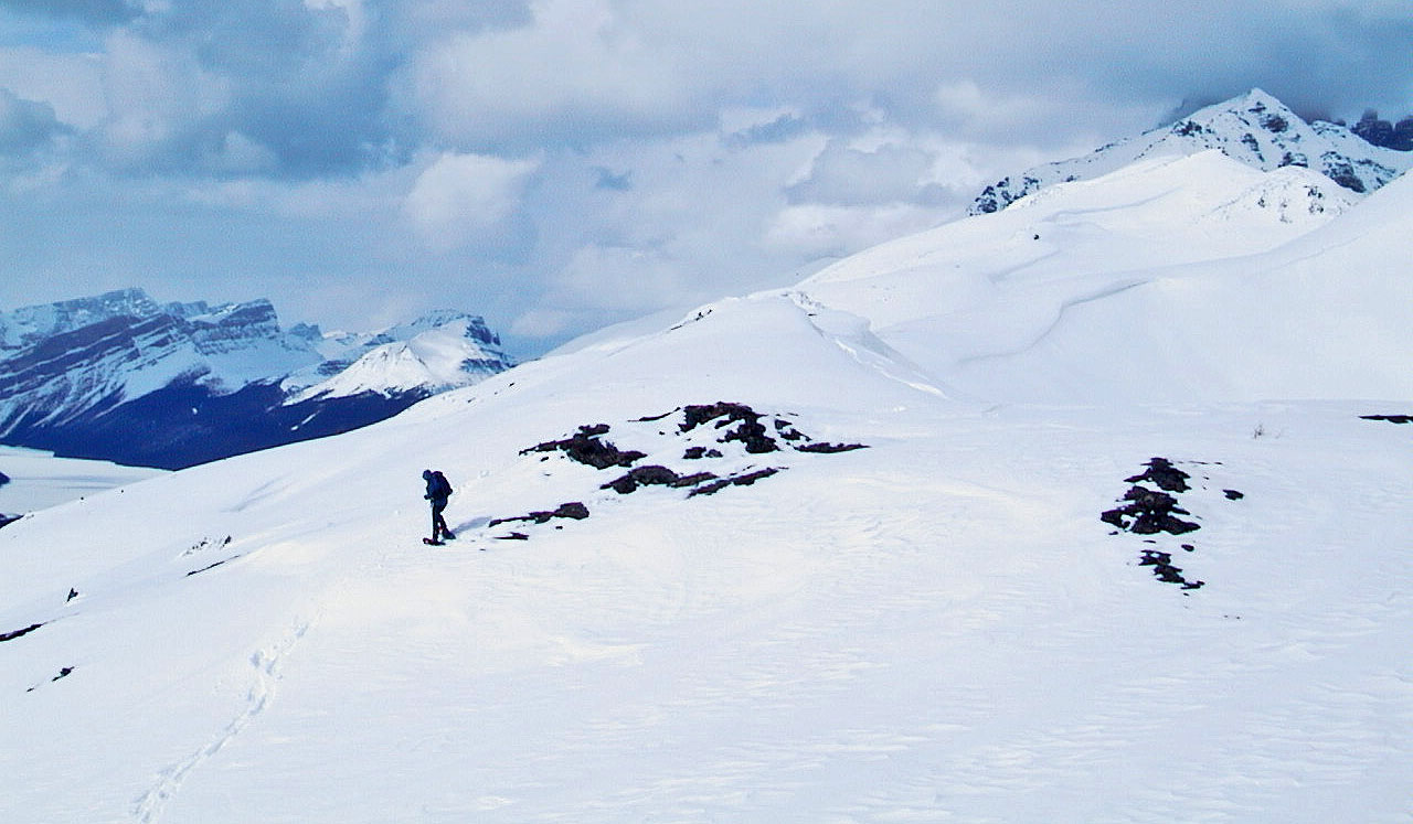
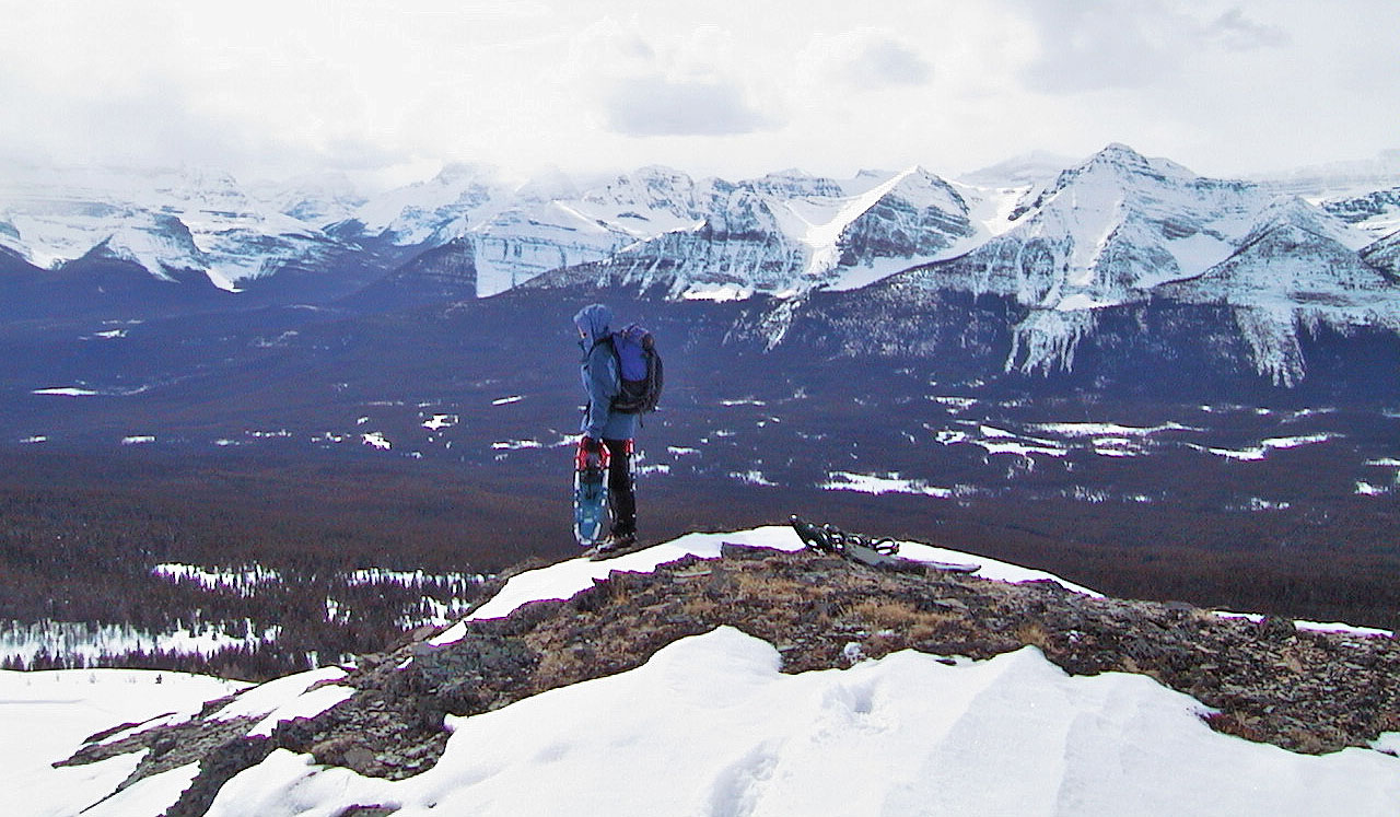
Exploring the ridge
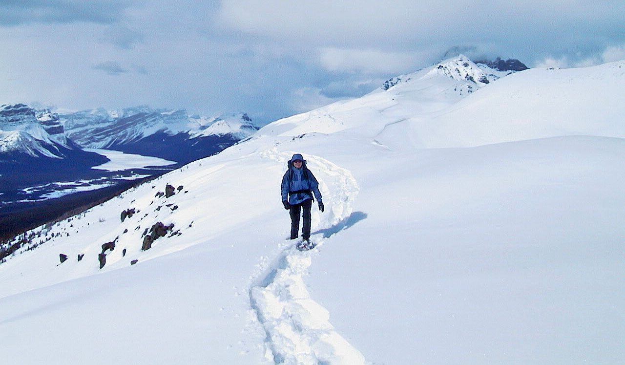
We went up and down the ridge
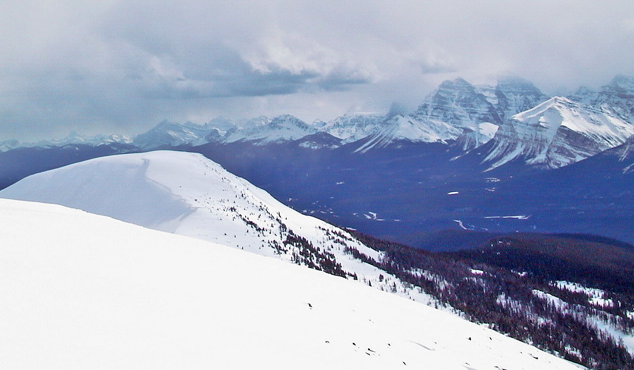
Another view of the south end
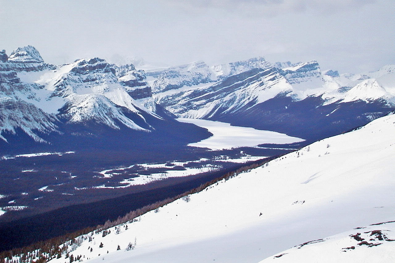
Hector Lake
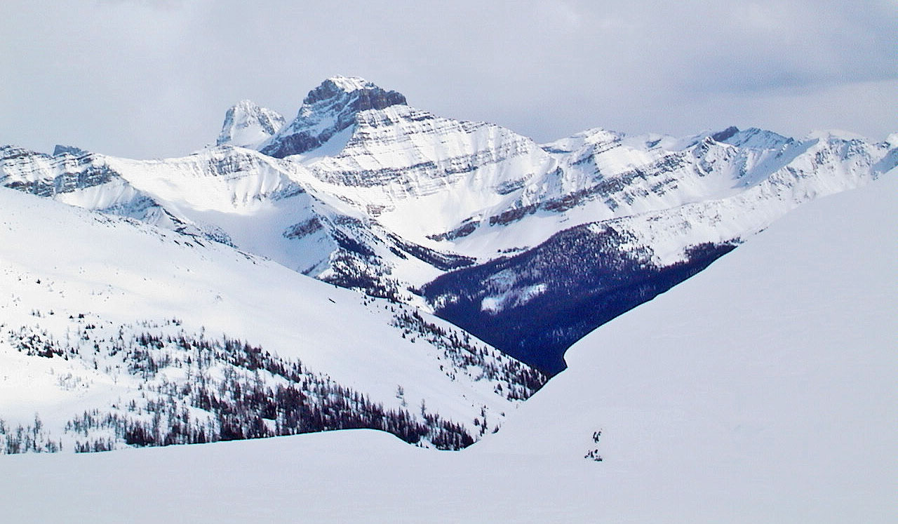
Mountain to the southeast, possibly Merlin Castle
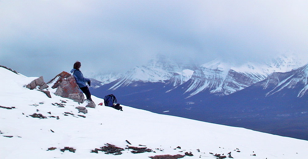
Dinah relaxes on a rock
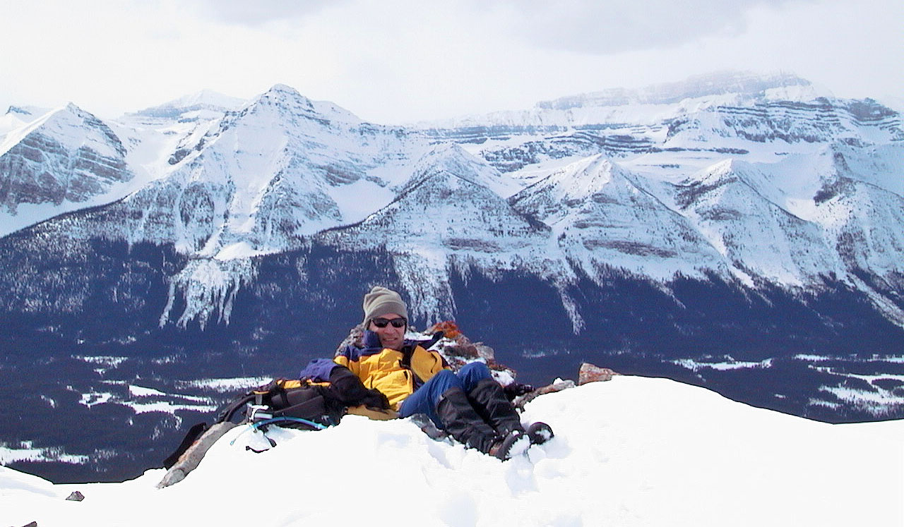
I relaxed too
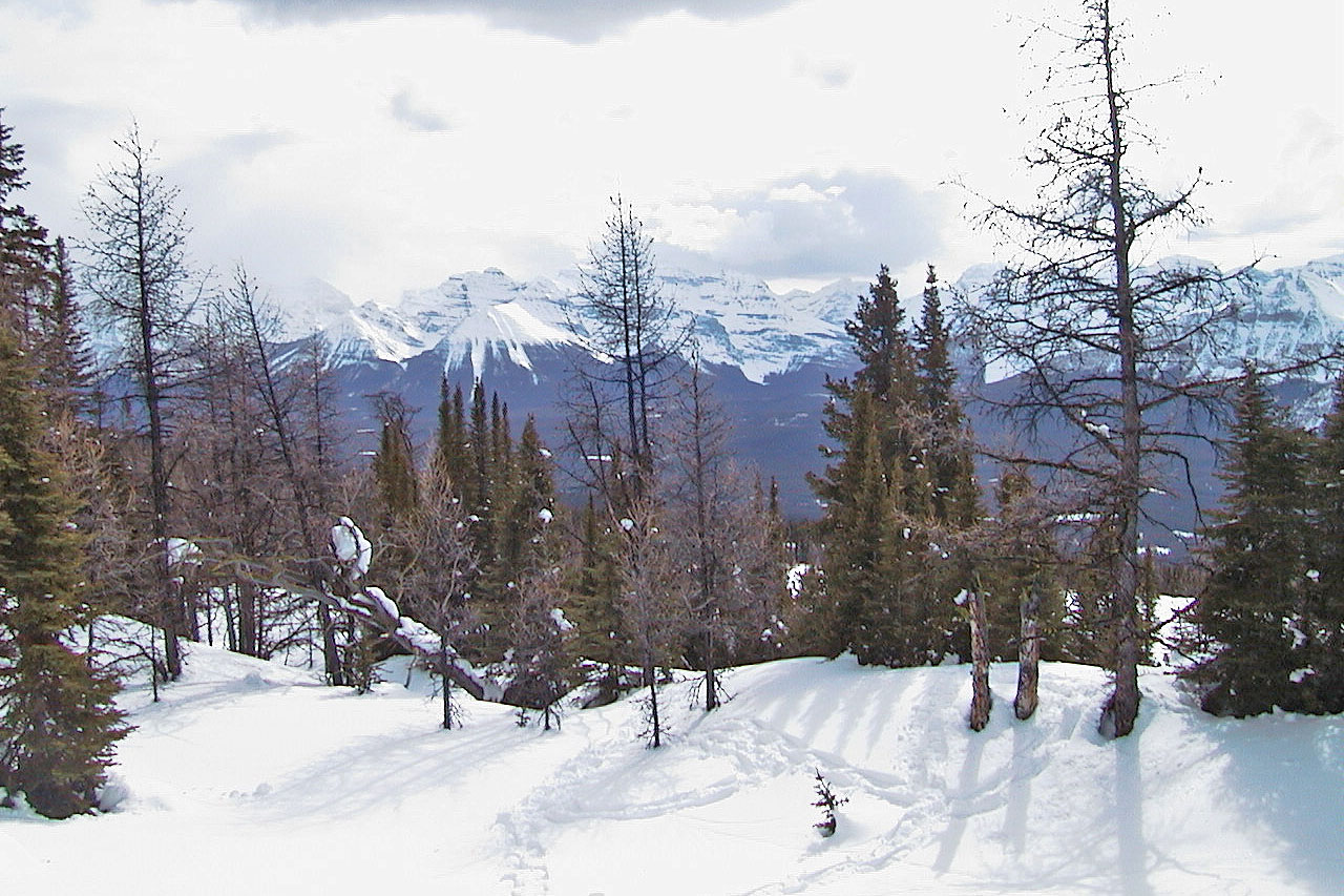
As we retraced our steps back, we appreciated the tranquility of this idyllic pocket on the terraces
82 N/9 Hector Lake