bobspirko.ca | Home | Canada Trips | US Trips | Hiking | Snowshoeing | MAP | About
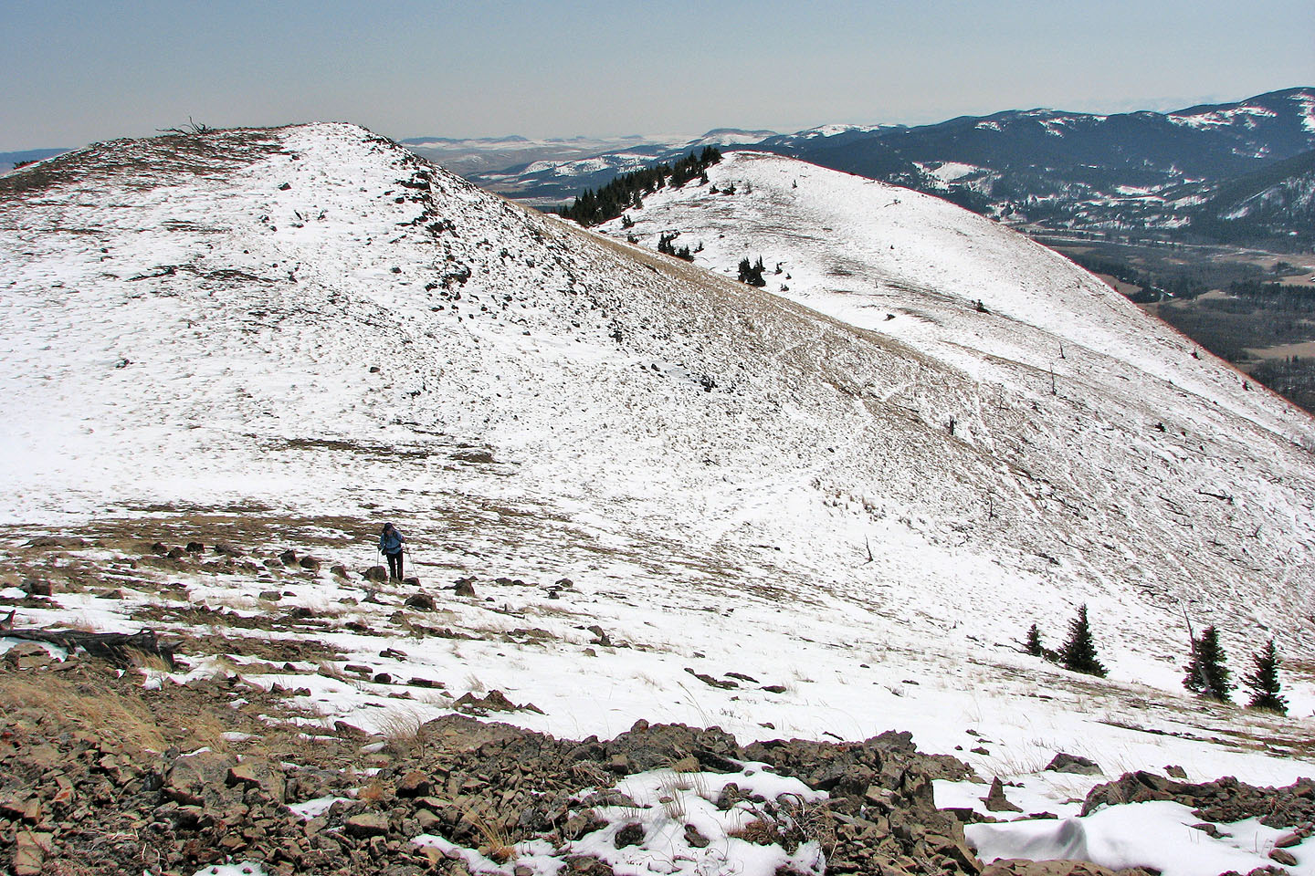
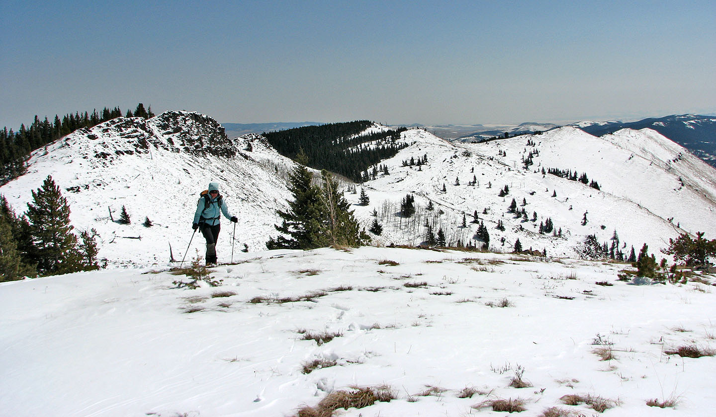
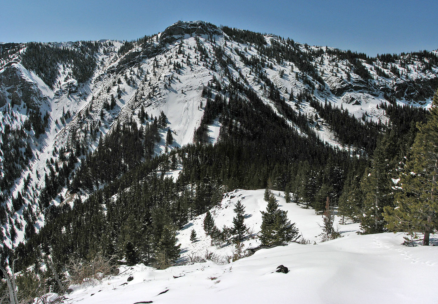
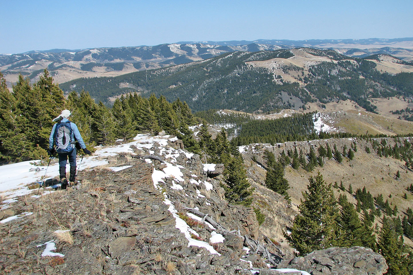
View below the summit where there were fewer trees
Camp Ridge
Bob Creek Wildland, Alberta
April 27, 2008
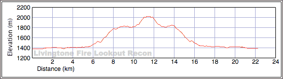
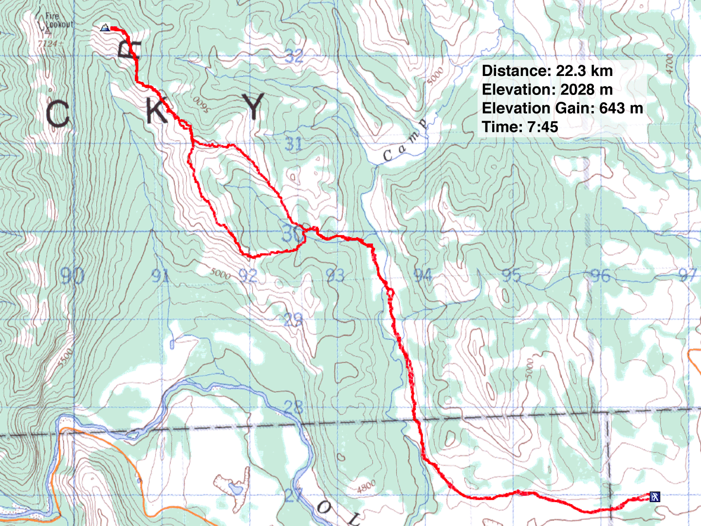
Distance: 22.3 km (13.9 mi)
Cumulative Elevation Gain: 781 m (2562 ft)
Dinah and I started driving to Crowsnest Pass intent on doing a hike there, but given the snowfall last weekend, I wasn’t optimistic about getting far up any mountain there. When we saw Whaleback Ridge appeared remarkably dry, we changed our plans to a ridge west of it.
I decided to investigate an east approach to Livingstone Fire Lookout that sits on Thrift Peak. (The lookout can be reached from the west, but it includes crossing the Old Man River which probably means a late-season start for low water levels. That's followed by a trudge up a road.)
I had studied the map and worked out a route some time ago. With that in mind, but no map, we decided to try it. Basically, we would head west to get to the unnamed ridge east of Thrift Peak. Since the ridge follows alongside Camp Creek, I called it “Camp Ridge.” Camp Ridge nearly merges with Thrift Peak at a point where a saddle connects the two. Although our objective was to look for an east route to the lookout we would coincidentally reach the highest point on Camp Ridge. Because of the snow, we had no illusions of reaching Thrift Peak.
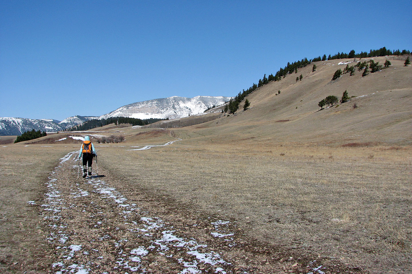
From Highway 22, we drove down a back road as far west as we could before muddy ruts stopped us from continuing. A high clearance vehicle would be needed to reach the boundary line 3.5 km down the road. Cars are not allowed past this point. Mountain bikes could get at least as far as the Camp Creek crossing, another 1.7 km farther away. Since we had neither bikes nor an SUV, we walked over five kilometres to the creek crossing.
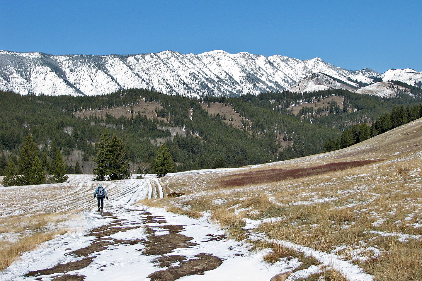
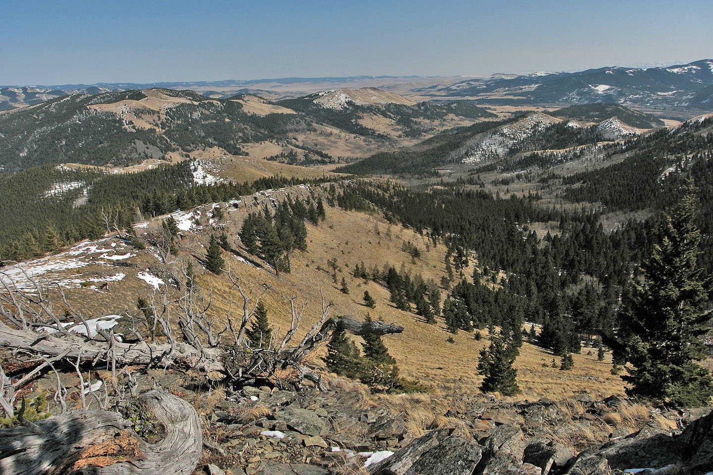
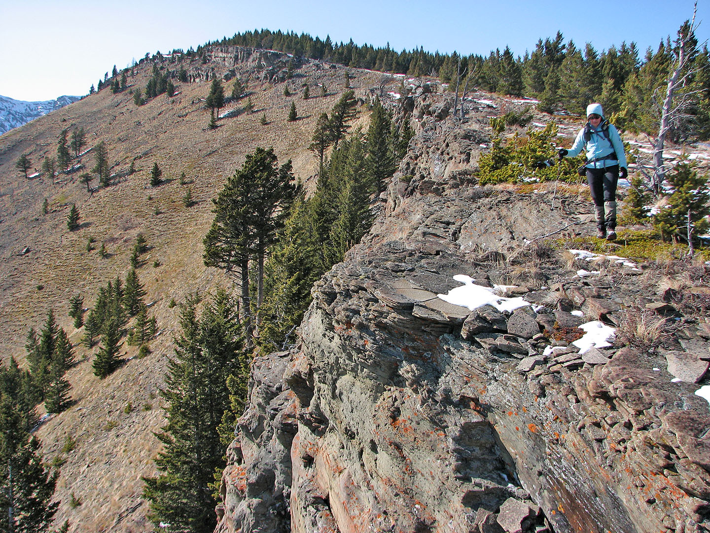
Fortunately, it was new scenery to us so time passed quickly. After crossing Camp Creek, we hiked up the road 700 m to reach a side road leading to Camp Ridge. We followed the road to where it dropped down to the valley and then left it and made our way up Camp Ridge. Once on the crest, we enjoyed the ridgewalk to the top.
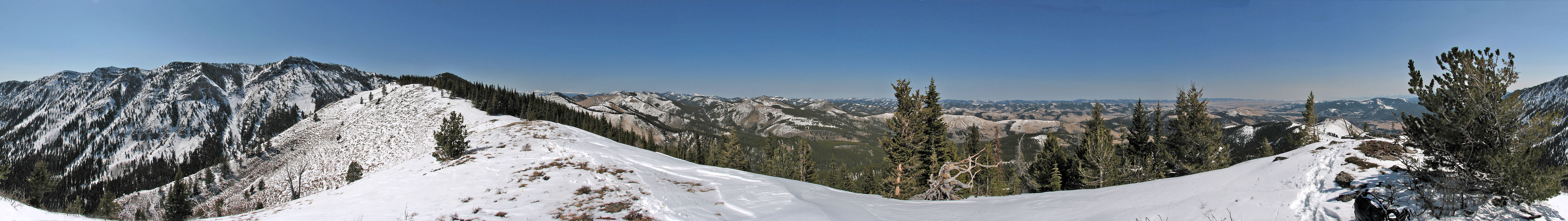
From the summit, the lookout rose 150 m above us. Although perched on cliffs on Thrift Peak, it appeared the lookout could be reached in dry conditions, but now the west slopes were laden with snow and likely capped by cornices. After a short stay, we headed back.
On the return trip, we followed the more direct SE ridge with fewer ups and downs. Although we missed seeing this route earlier, our ascent route offered the best scenery.
While hiking back on the road, we encountered a couple of hunters. They were hunting bear but hadn’t any luck. (We hadn’t seen any fresh signs of bear activity ourselves.) The hunting season ends May 15 so hikers may want to postpone going into this area until after that. We’ll wait for the snow to melt before we return to do Livingstone Fire Lookout, but we won’t walk in five kilometres next time!
The following year we used this route to successfully reach Thrift Peak.
We have a long road ahead of us. Too bad we didn't bring mountain bikes!
Our destination is the second peak (white slopes) from the right
Following the road after it turns north
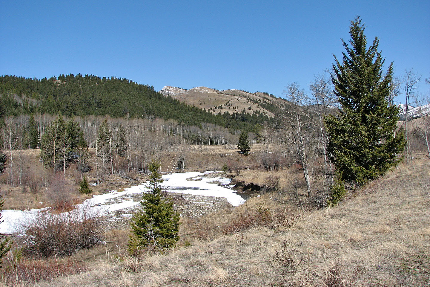
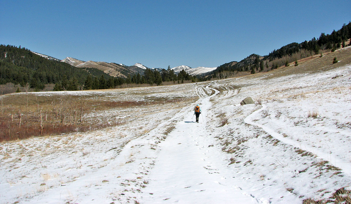
The road eventually crosses Camp Creek
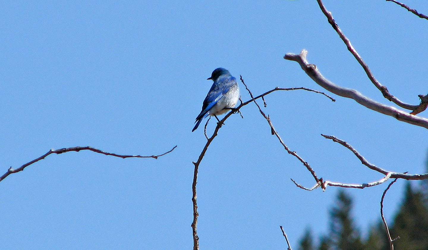
Bluebird
We left the road after this point and made our way to the ridge on the left. On the return, we descended the
ridge on the right.
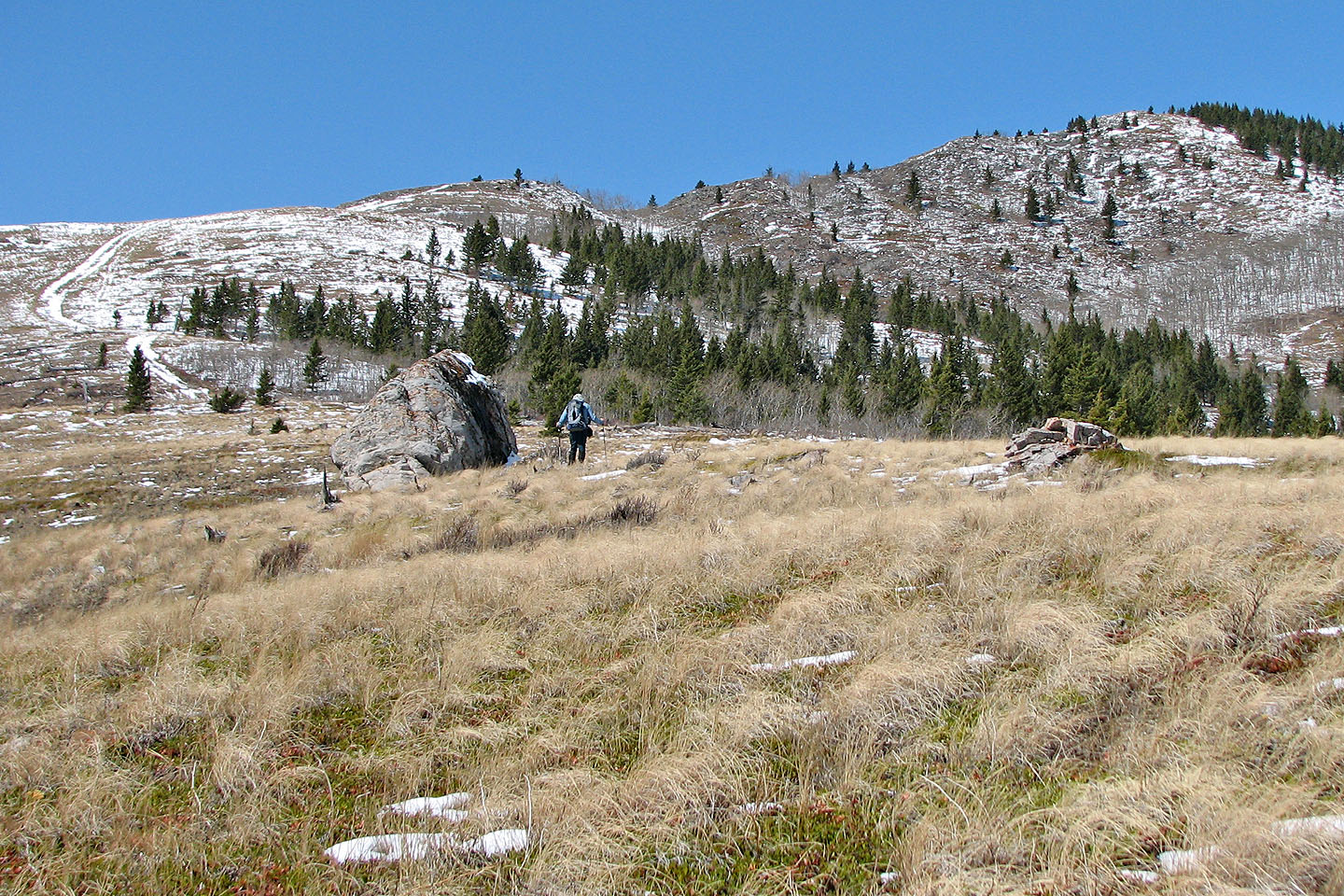
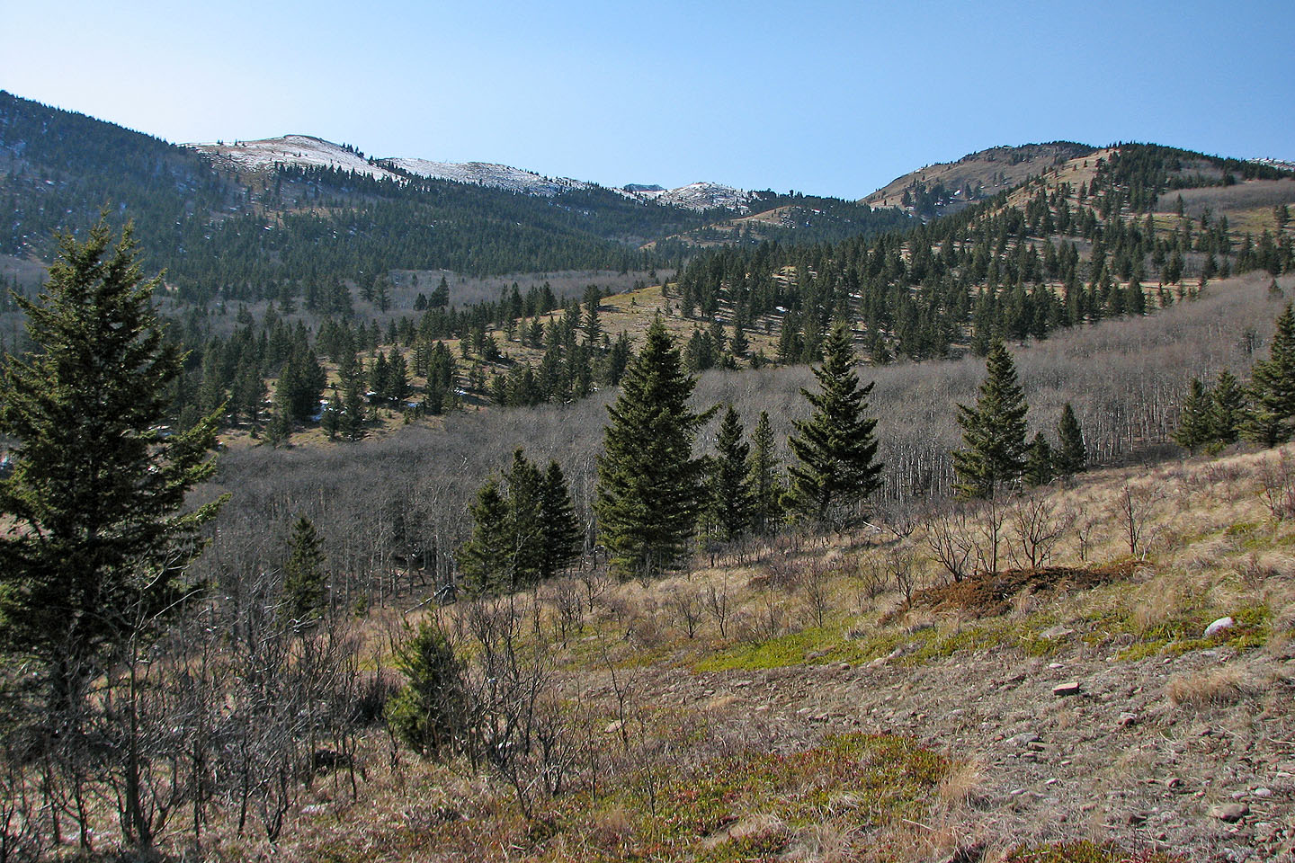
After climbing out of the valley forest, Camp Ridge lies ahead
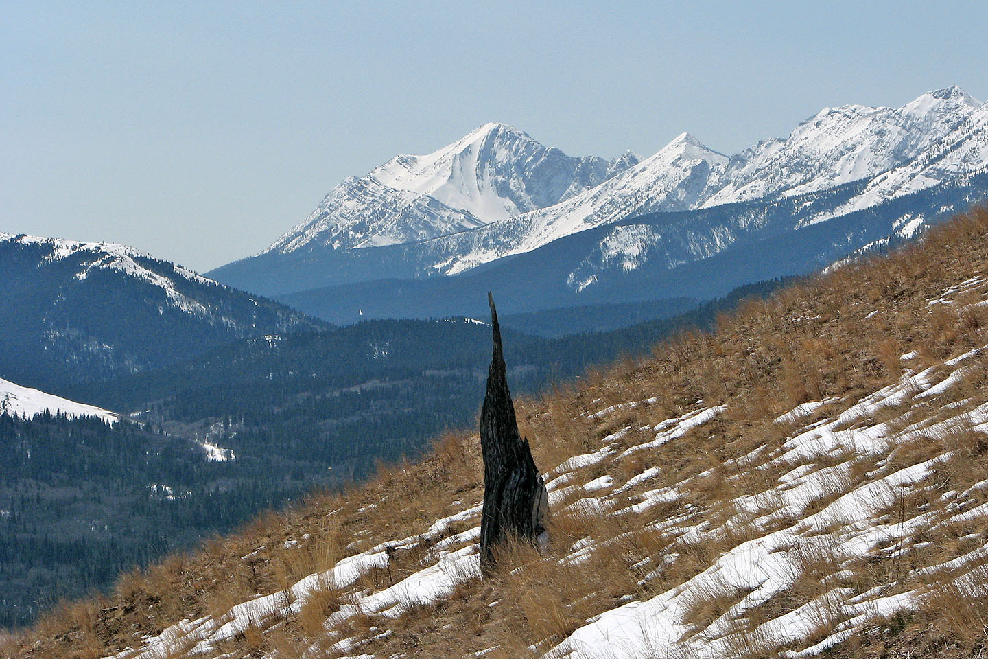
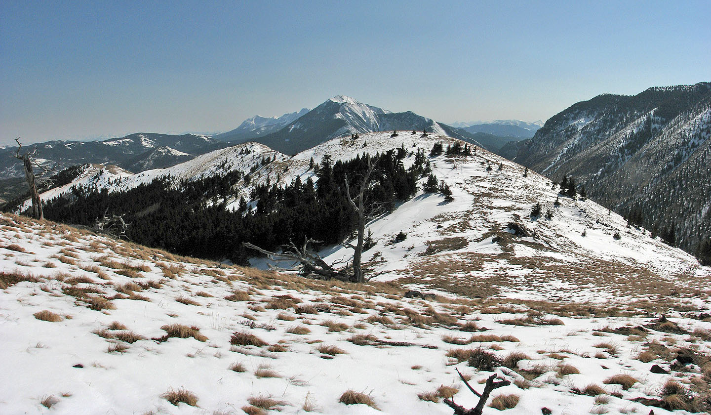
A tree trunk points to Centre Peak
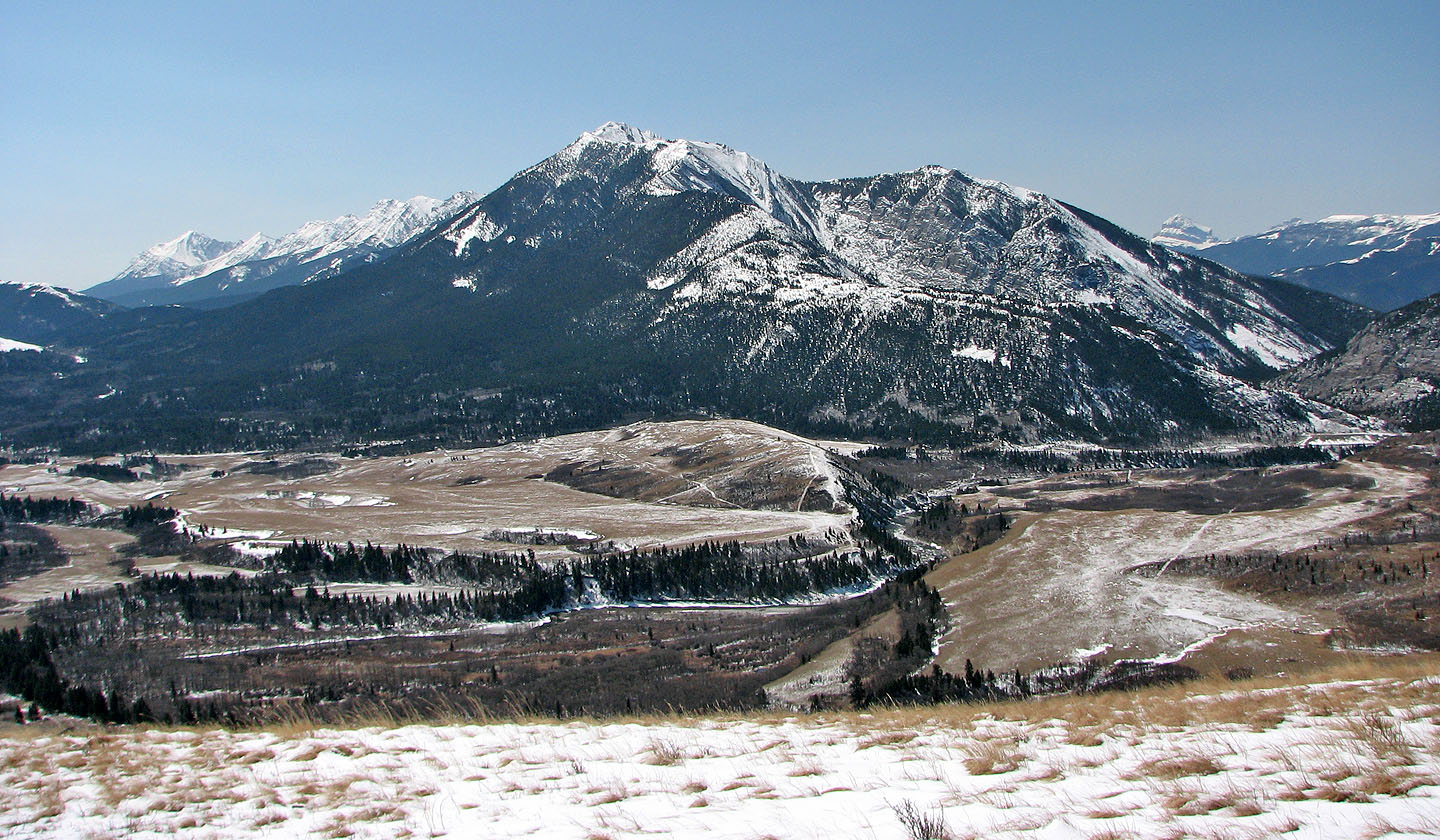
Thunder Mountain lies southwest
We reached the ridge crest
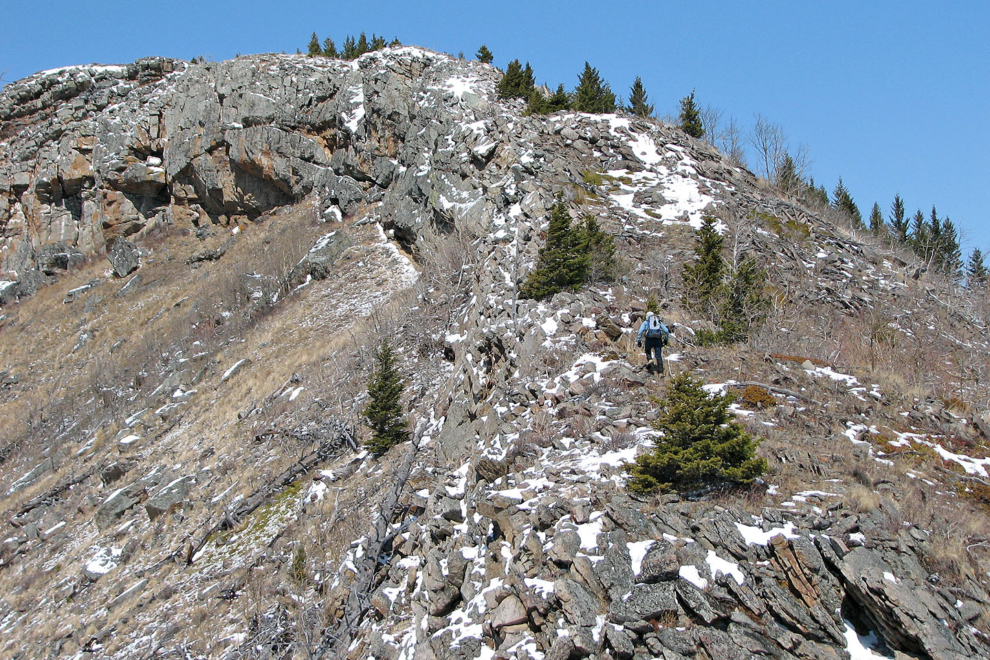
The ridge begins rugged but will soon become gentle
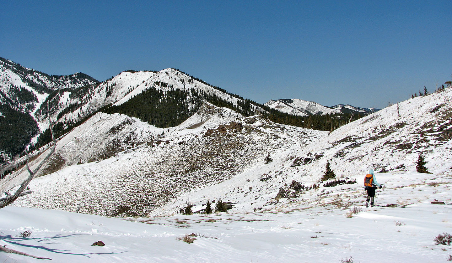
Looking back at the ridge we followed, our ascent slope (behind Dinah) can be seen. The road we followed loops
around the right side of the bare ridge in the upper left.
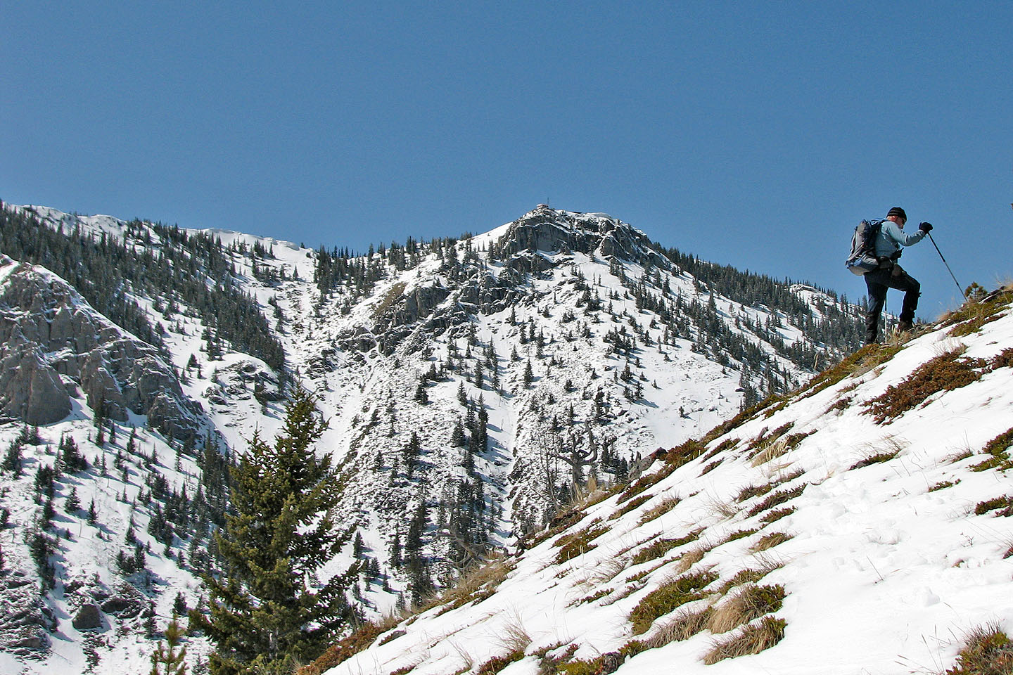
Thrift Peak is on our left
The lookout is on the rocky point (centre of the photo), but we headed for the white slopes in the background
on the right
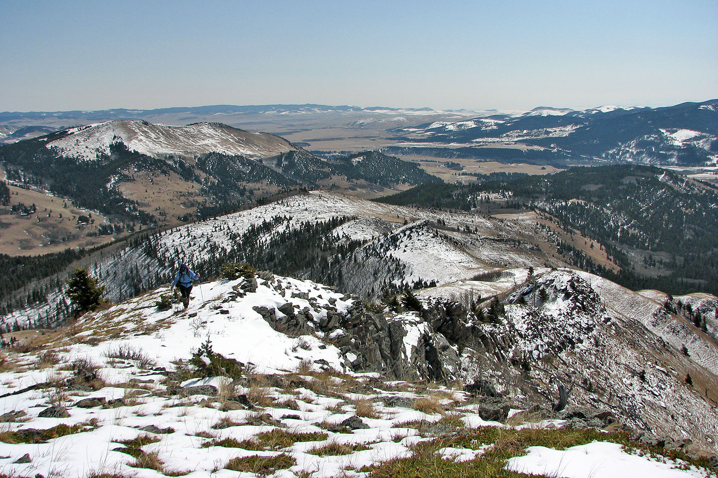
Looking back at the easy slopes we followed
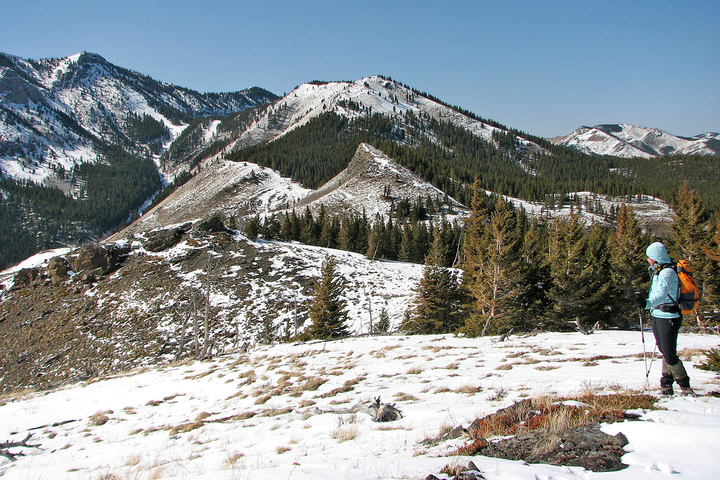
The summit of Camp Ridge is the point left of the pointed peak (mouse over for our route). A saddle connects
the summit to Thrift Peak.
A closer look at the summit
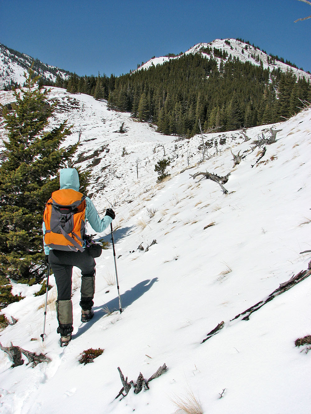
For the rest of the climb, we'll be hiking in snow
The ridge we came up extends to the right, but on the way back we kept left (centre) and returned on a
different ridge
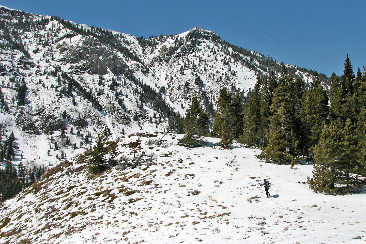
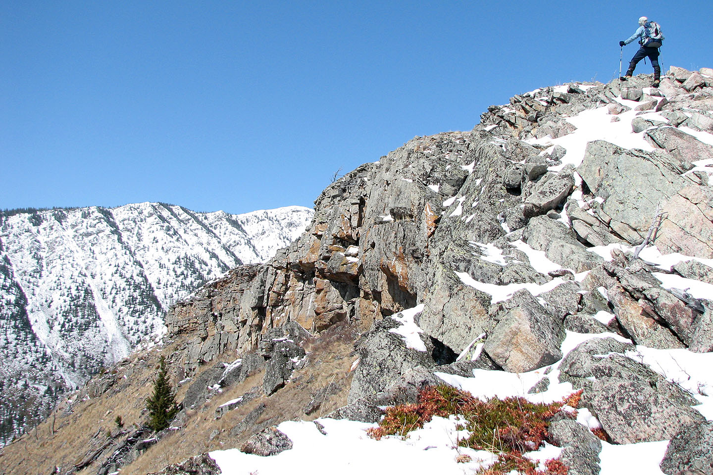
Livingstone Fire Lookout sits above us
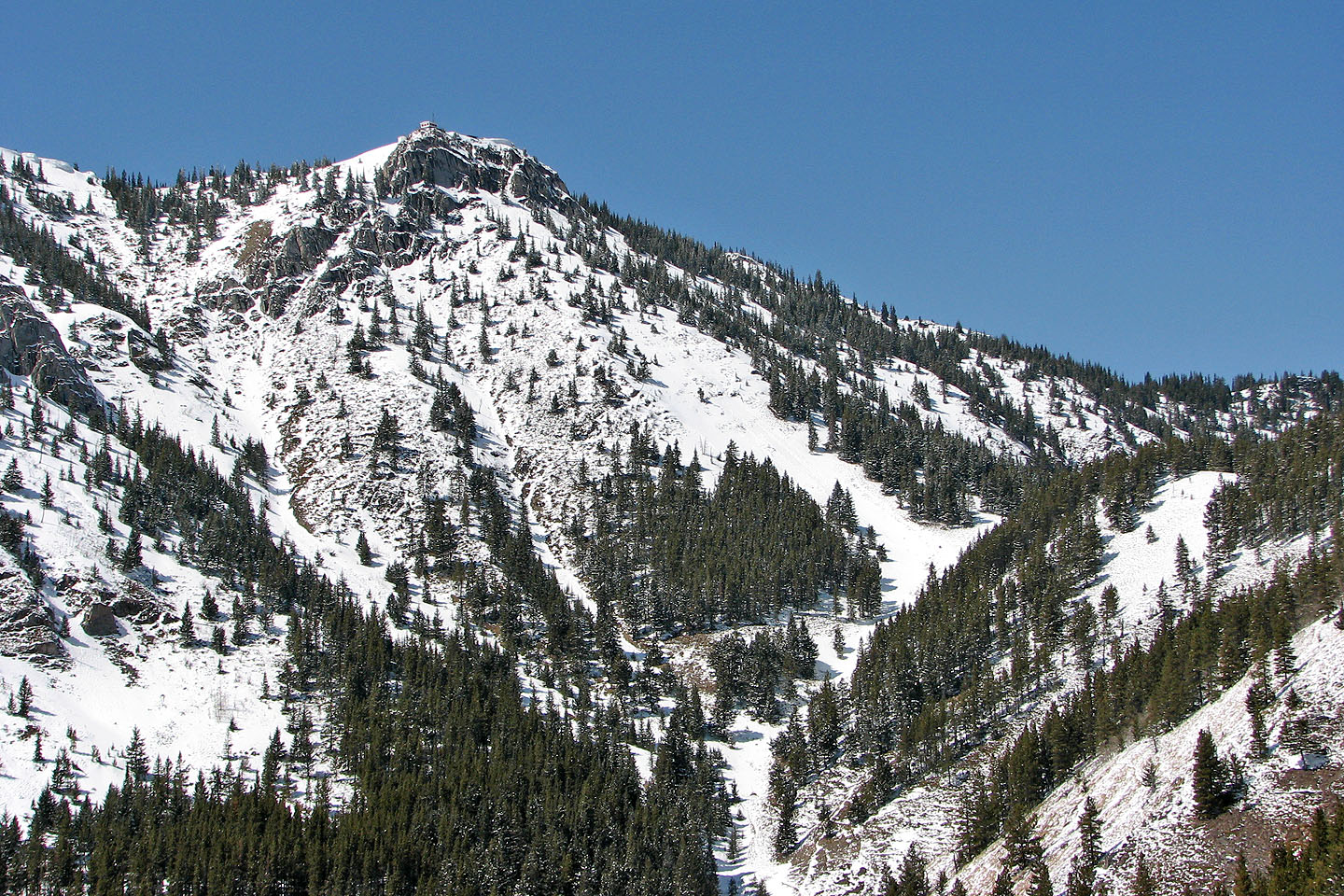
The lookout is perched above fortress-like cliffs (mouse over for a closer look)
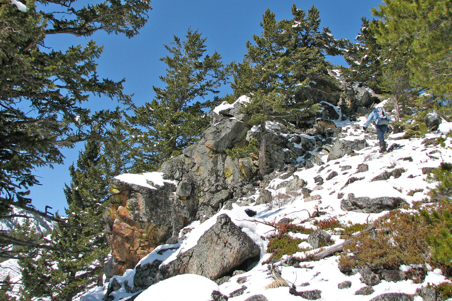
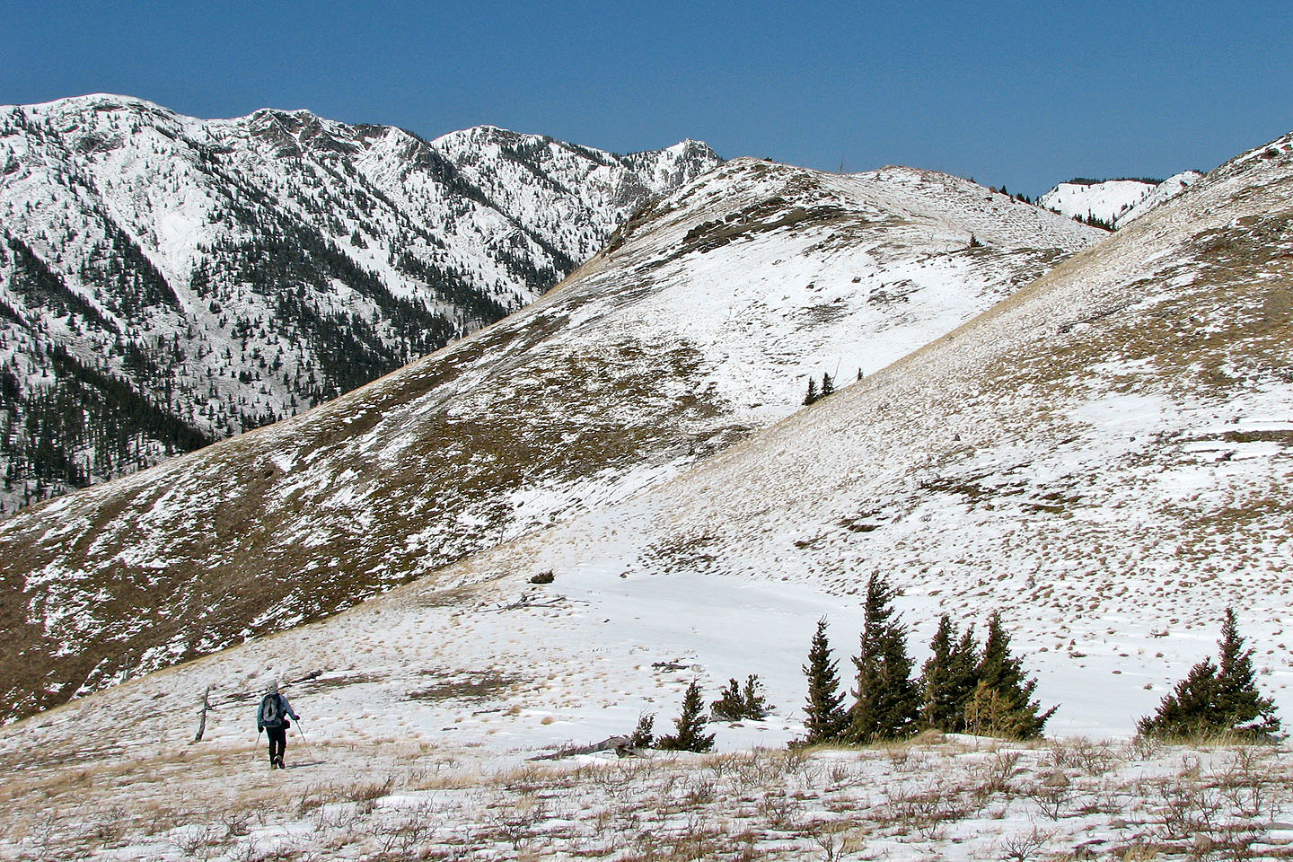
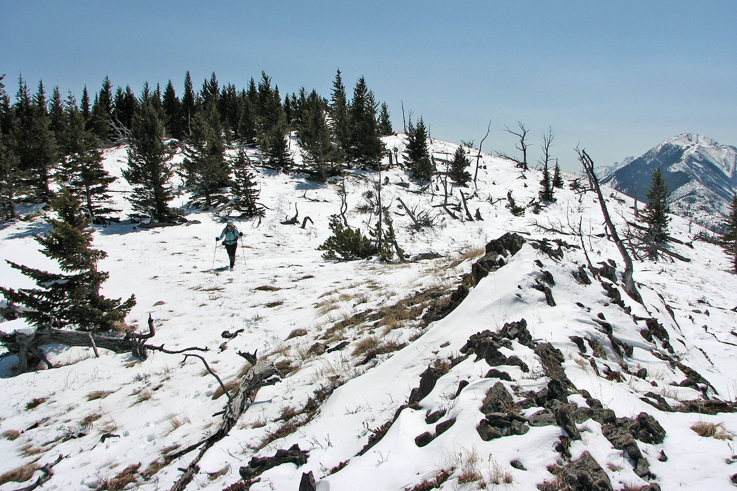
Here the ridge is treed
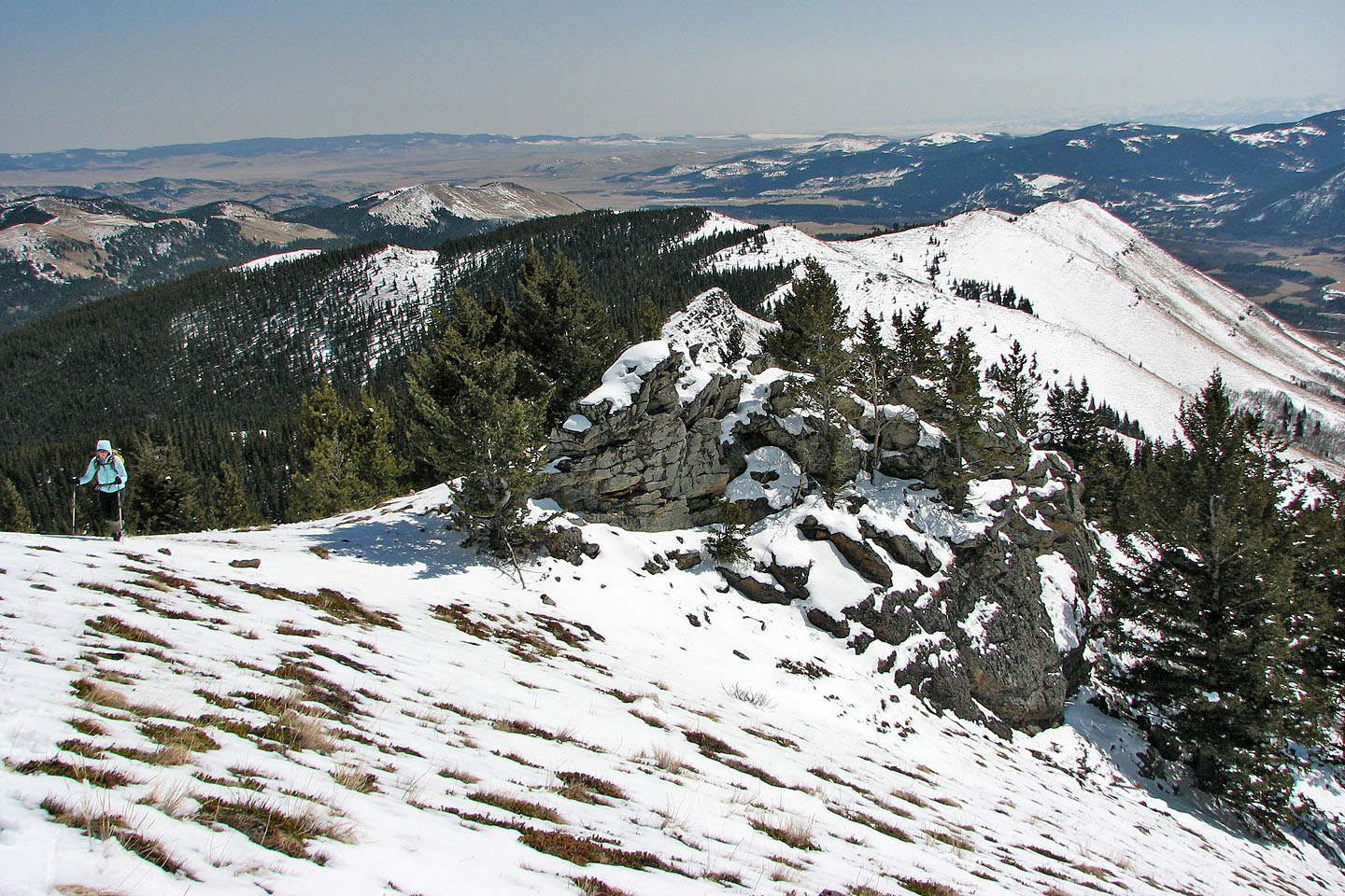
Back on the open ridge
The grade steepens before the summit
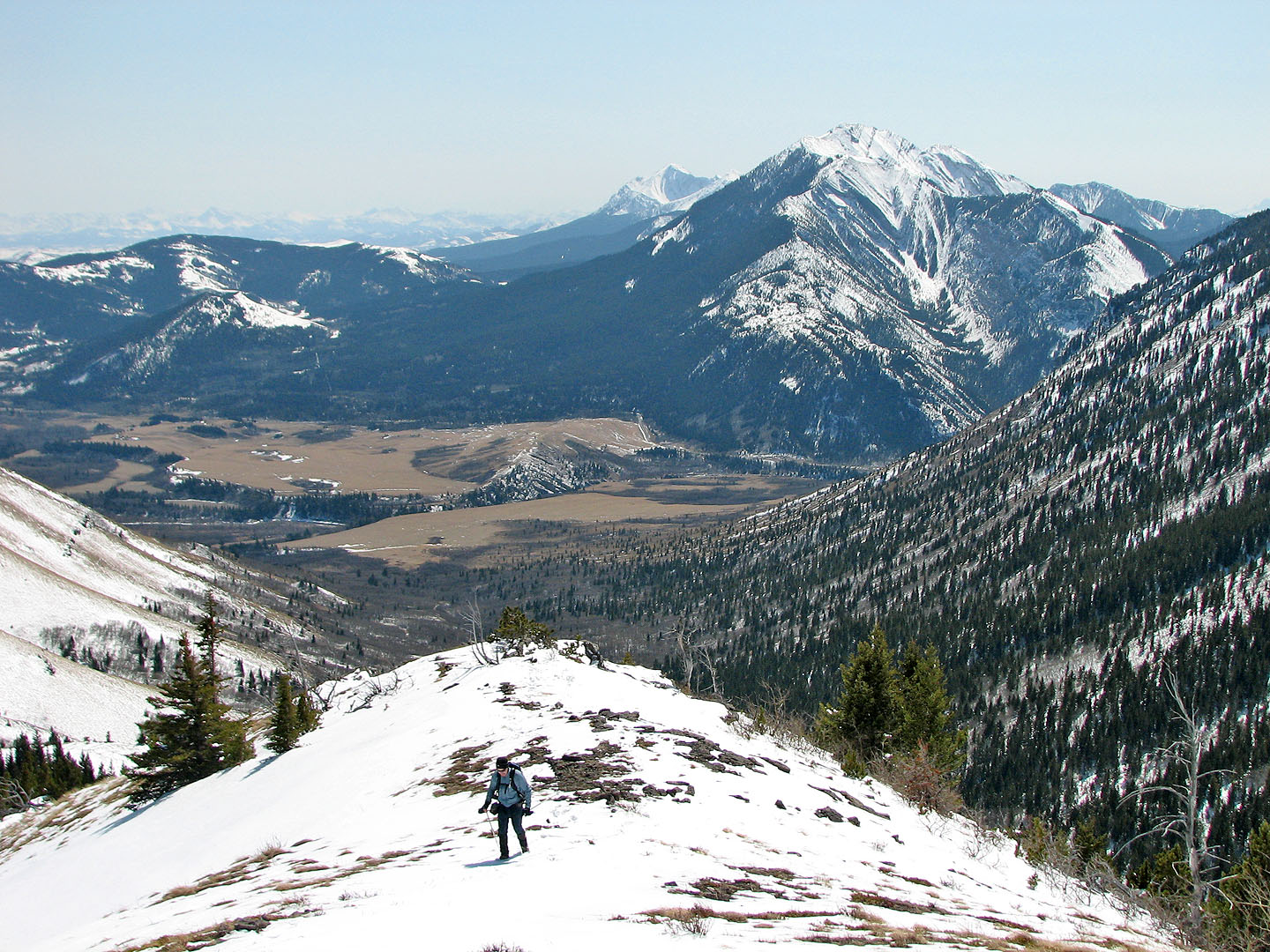
Looking back at the valley between the two ridges
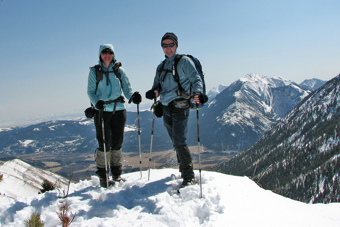
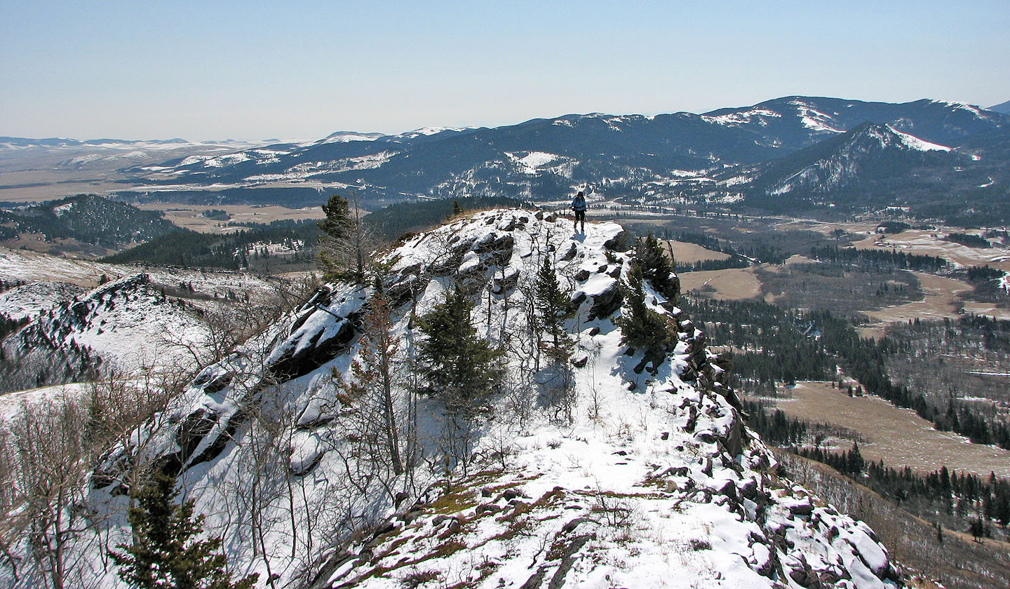
On the summit
A connecting ridge leads to Thrift Peak and the lookout (mouse over)
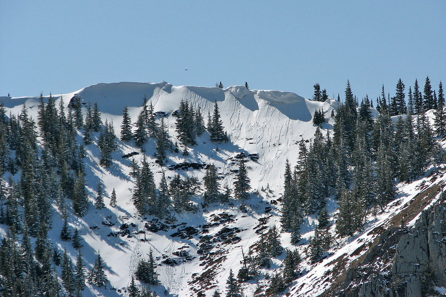
Huge cornice on Livingstone Ridge (mouse over to zoom out)
Last look at the summit as we headed back
A look at the ascent ridge as we started down the descent ridge
The descent ridge gently drops and bends right
Another look at the descent ridge. On the right is the ascent ridge.
Partway down the descent ridge
82 G/16 Maycroft