bobspirko.ca | Home | Canada Trips | US Trips | Hiking | Snowshoeing | MAP | About
Mount Livingstone
Kananaskis, Alberta
May 12, 2006
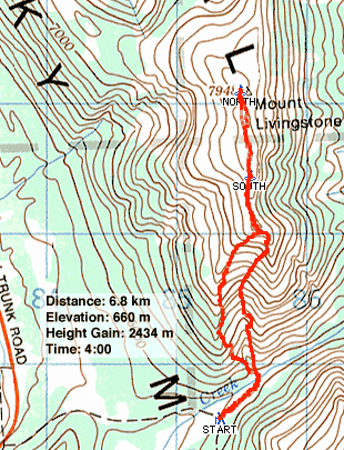
Two years after ascending the south end of Livingstone Ridge Dinah and I found ourselves on the north end, 55 km away. Looking at the NTS map, the obvious route was a logging road leading to the south end of the mountain. From there, the south-facing slopes, mostly free of trees, would likely enjoy a longer ascent season. Coincidentally, Sonny Bou and Linda Breton used the same route to ascend this mountain the previous week so we knew what to expect thanks to their website postings.
From HWY 22 we took HWY 532. We turned left onto the Forestry Trunk Road. After about 8 km we came to a logging road at the south end of Mount Livingstone.
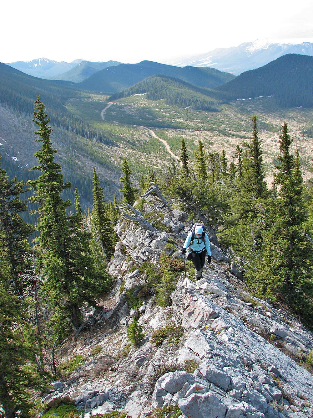
We expected to have to hike up the logging road, but Dinah had no trouble driving her Honda Civic 1.6 km to the base of the mountain. It only took us a few minutes to hike to the base of the ridge and start climbing. When we hit a cliff band, we hiked along it for a way before finding a place to easily scramble up. After gaining the ridge, we hiked to its end. The trees were behind us now. Ahead were open slopes and cliff bands. Instead of going directly to the south summit, we climbed the nearer false summit.
As I had hoped, we were able to reach the false summit using the scree gully on the backside. Then we turned our attention to the south summit.
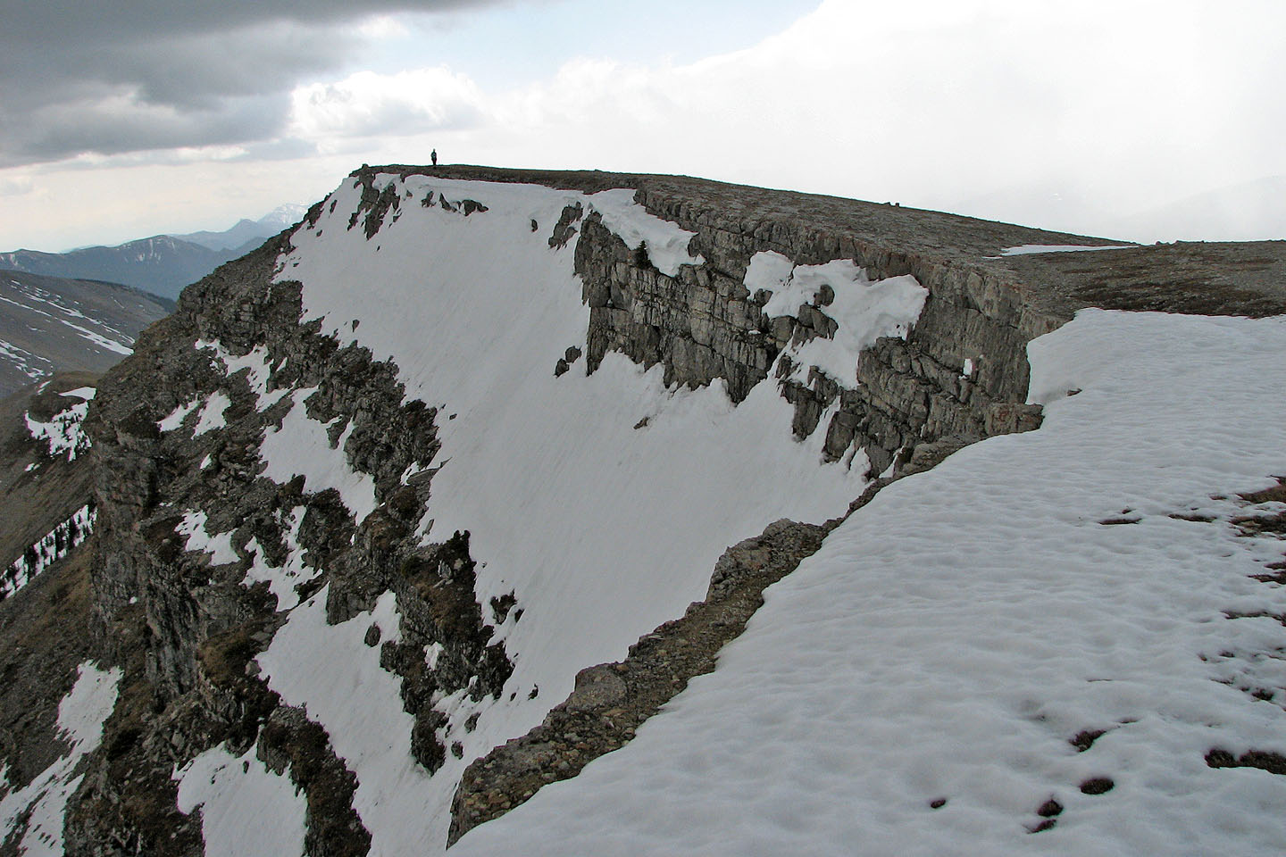
In a short time, we reached the cliffs guarding the south summit but found they offered little resistance. We were soon standing next to a tiny cairn. Clearly this point was higher than the north summit, the geological summit shown on the map – higher by 10 m according to our GPS receivers – but it's the north summit that receives all the attention. It only took a few minutes to reach the huge cairn that marks it.
Unfortunately, we were beset by poor weather on the plateau-like top. Not only was it cold and windy, but some snow fell. Keeping our summit stay brief, we headed back to the false summit.
Instead of retracing our steps down the ridge, we climbed down the backside of the false summit and started down a gully. At first we found good scree so we descended quickly. Towards the bottom where it began to flatten out, the scree ran out, but we were able to follow animal trails to the mountain base.
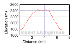
Although neither long nor exciting, Mount Livingstone provided a pleasant change in scenery. It's mostly an easy scramble, but a couple of moderate scrambling sections added interest.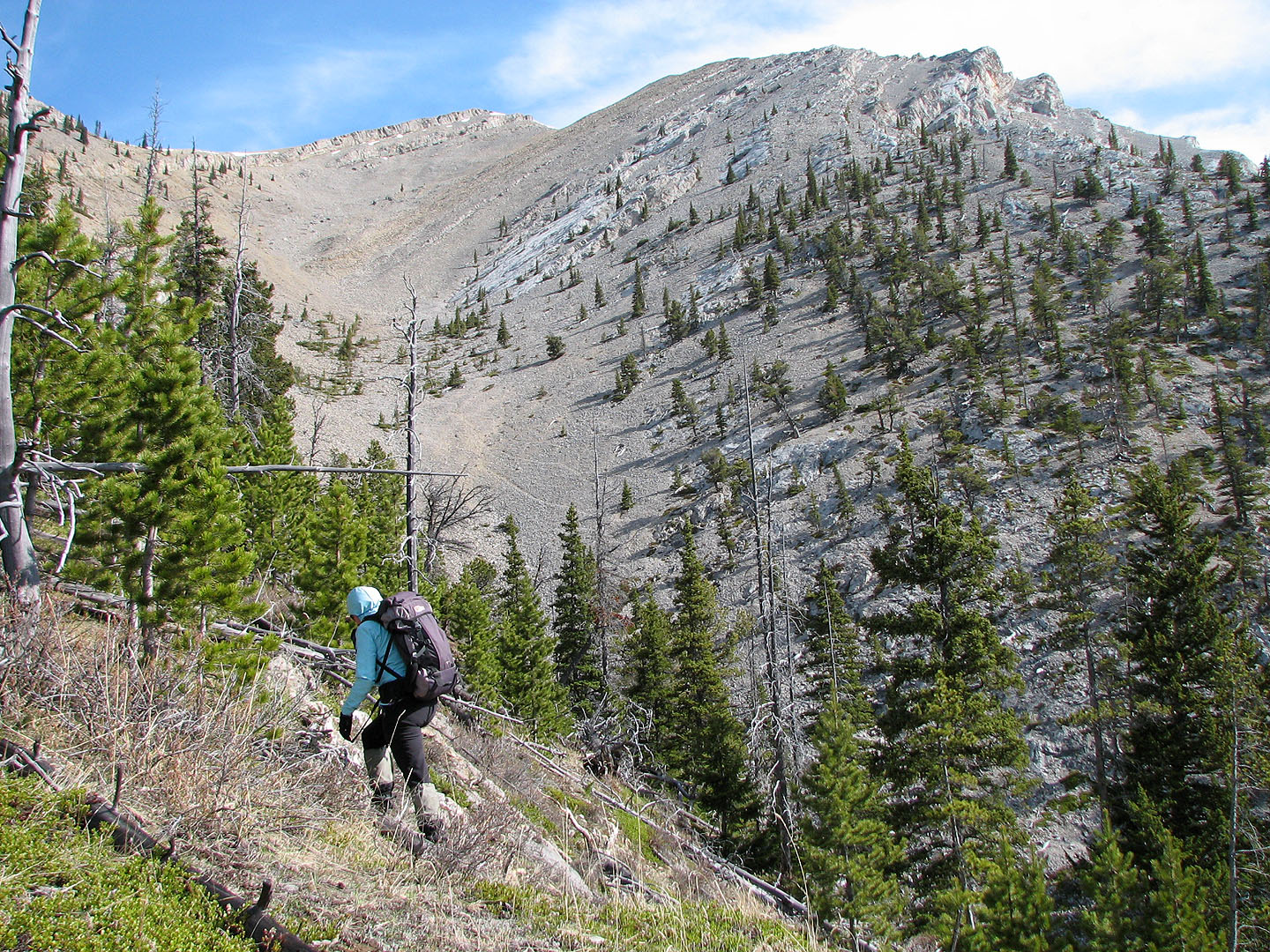
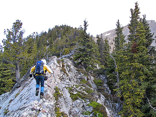
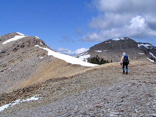
Starting up the ridge, the false summit appears above Dinah. On the return, we
would descend the basin in the background. Note the trail near the centre of the photo.
The ridge follows a gentle grade
Interesting landscape along the way
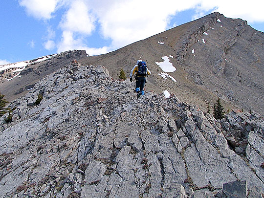
Nearing the end of the ridge with the south summit left and false summit right
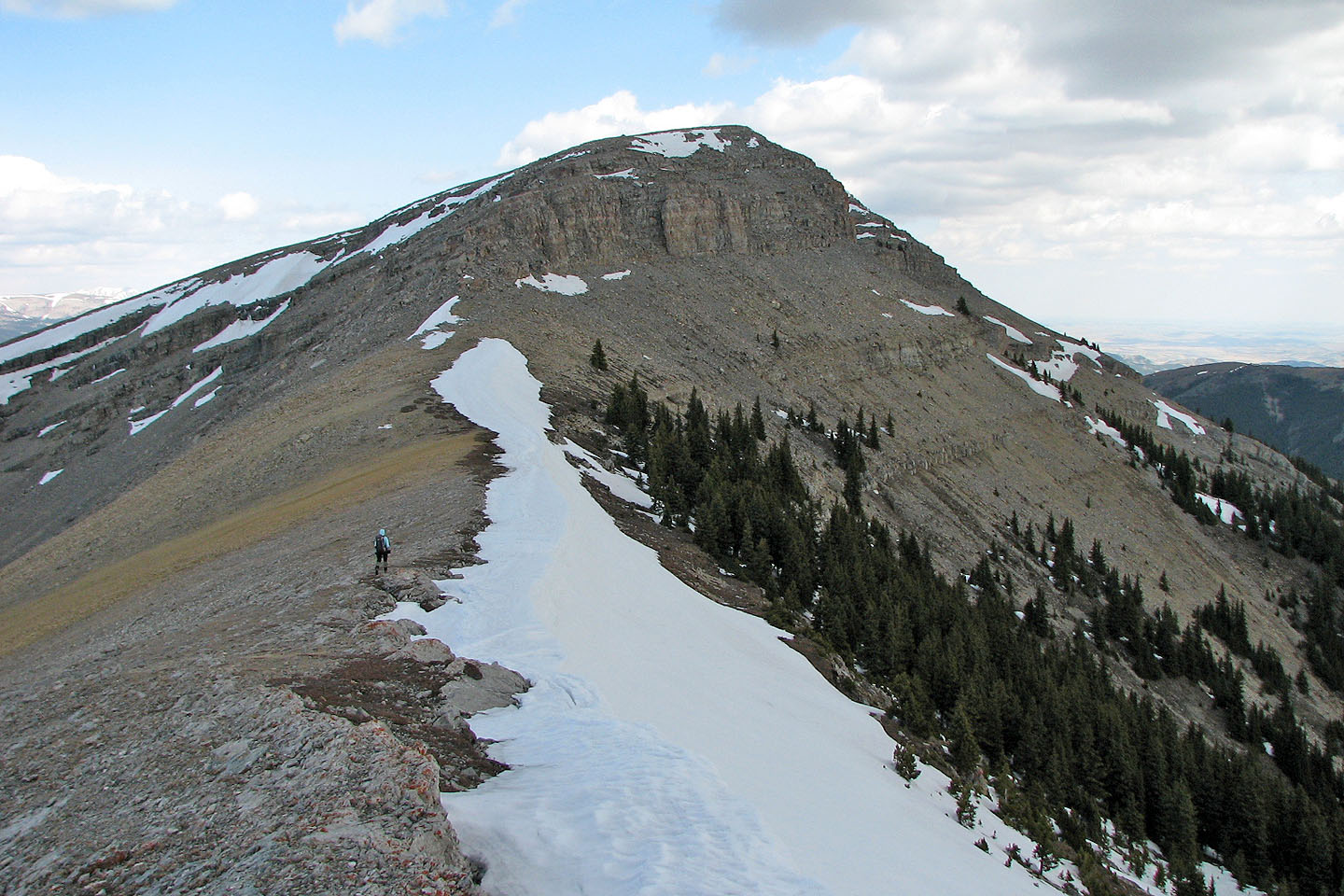
On the col between the false and south summit
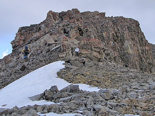
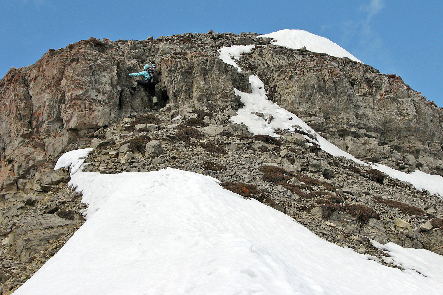
The cliff band below the true summit appears complex but is easily ascended
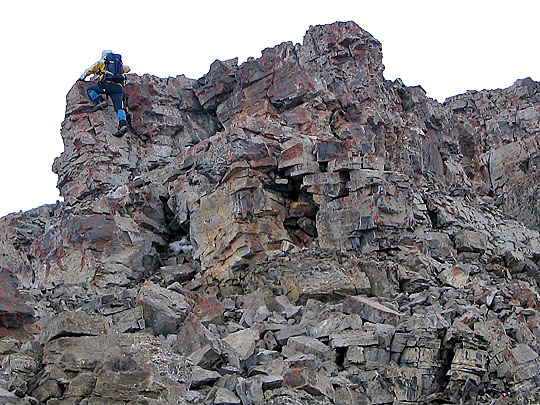
I scrambled straight up, but on the right side of the photo is a hidden walk-up chute
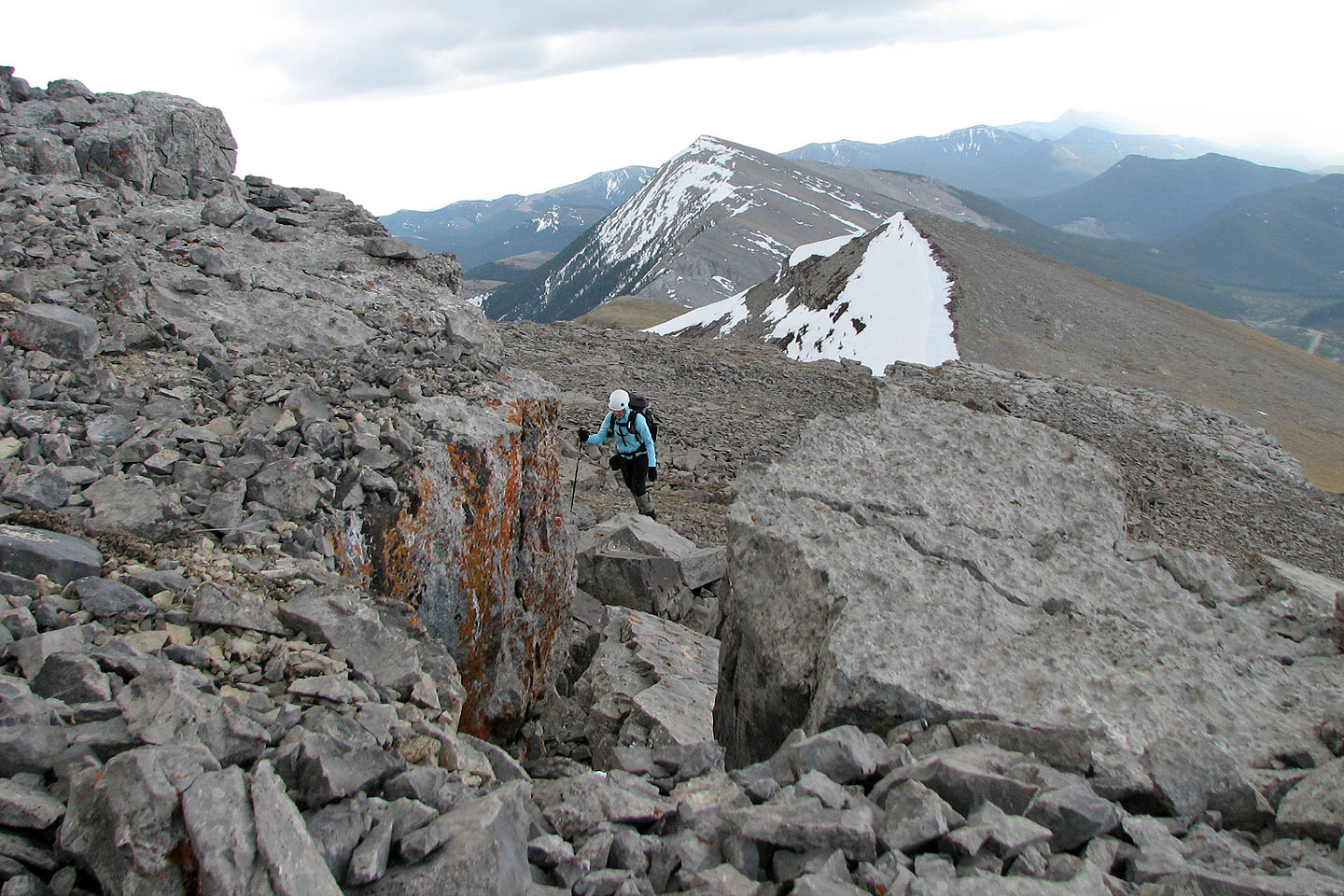
A minor rock band before the south summit
Leaving the south summit for the north summit (mouse over for a close-up)
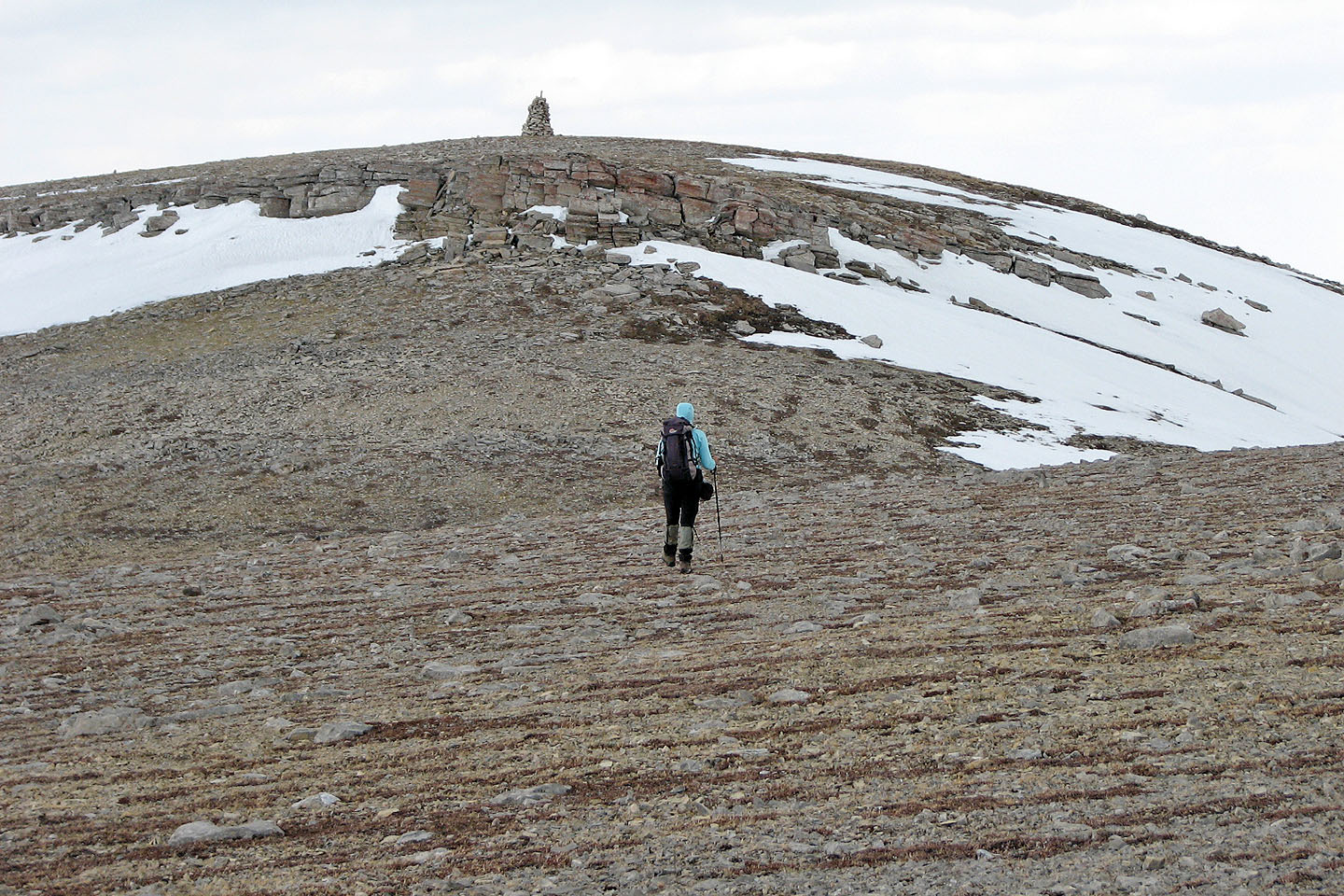
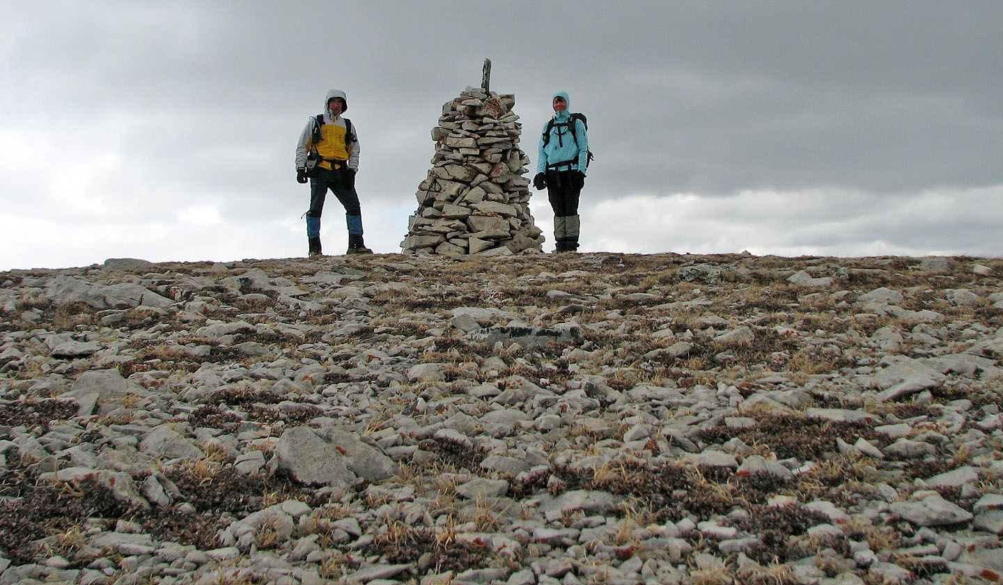
A towering cairn marks the north summit
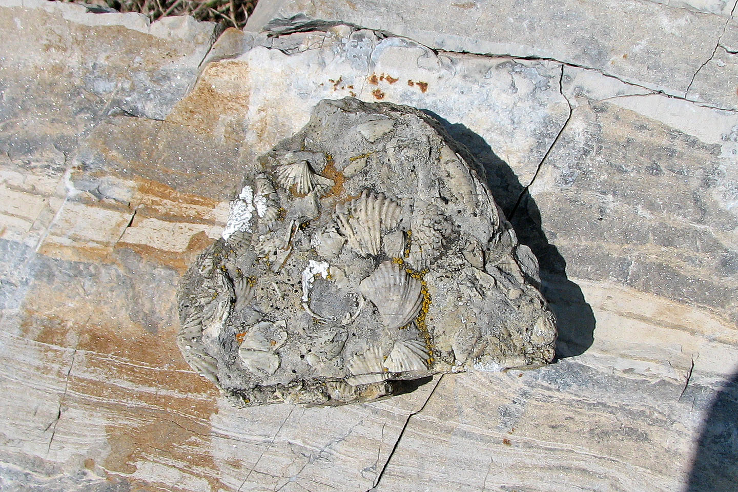
On the short cliff band I came across this rock with dime-size fossil shells
On the north summit
Saddle Mountain to the northeast

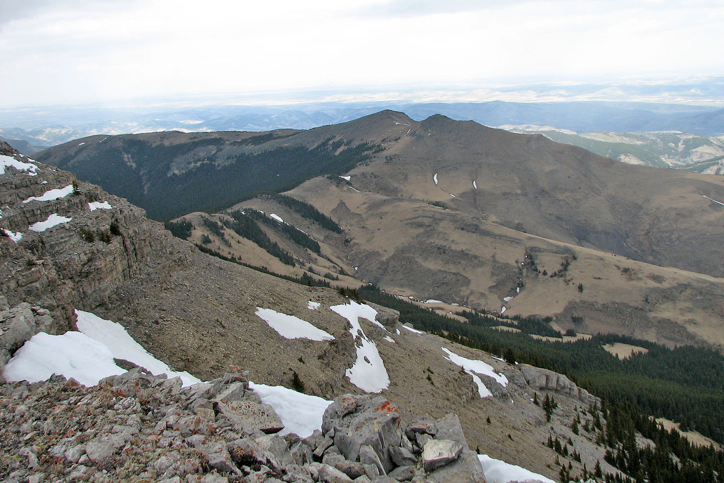
Back on the south summit looking at Coffin Mountain
To reach the scree gully, we scrambled down the false summit
From atop the scree gully, false summit on the left and south summit on the right
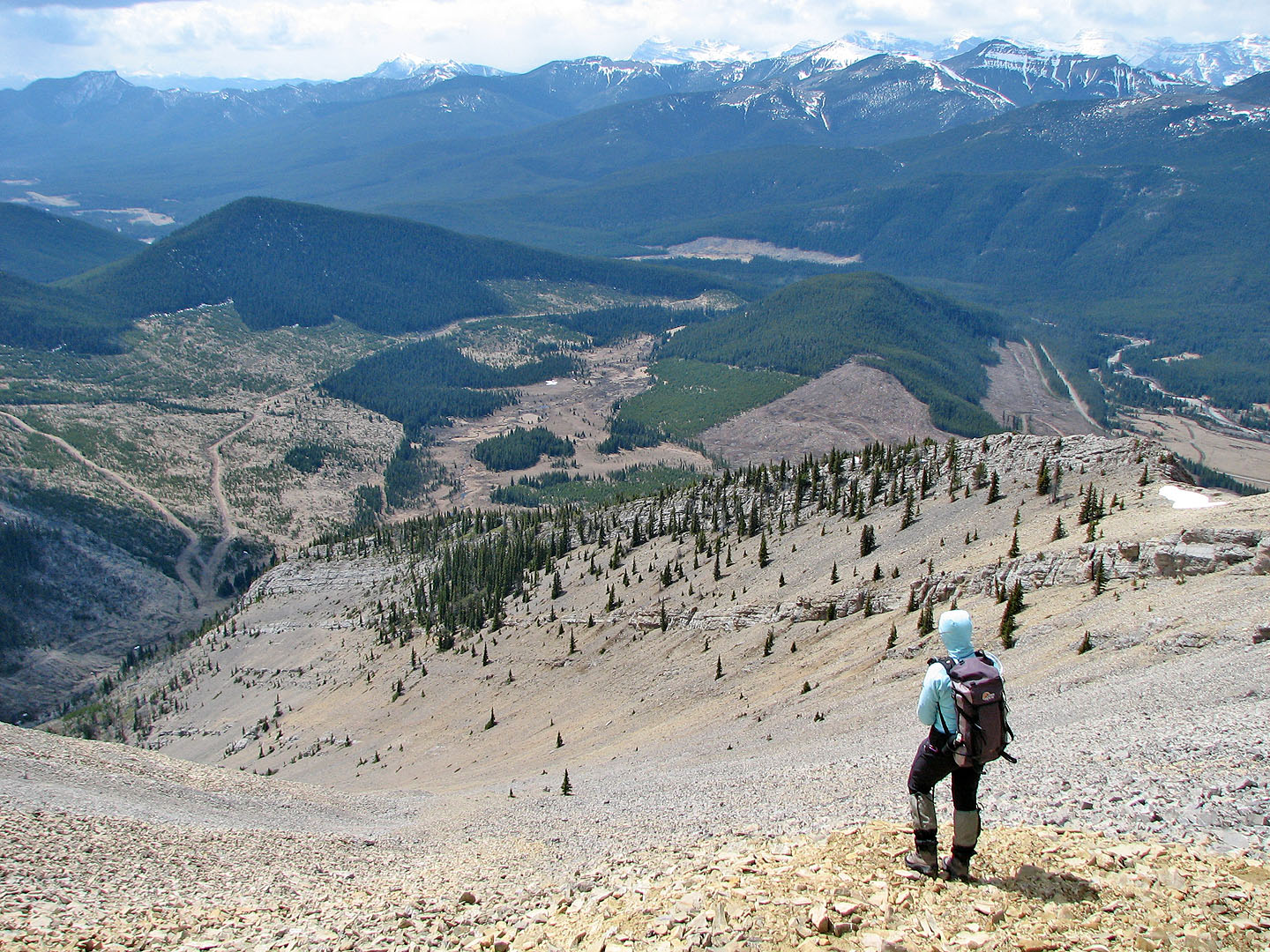
Looking down the gully. Note the long ridge above the gully that we ascended earlier.
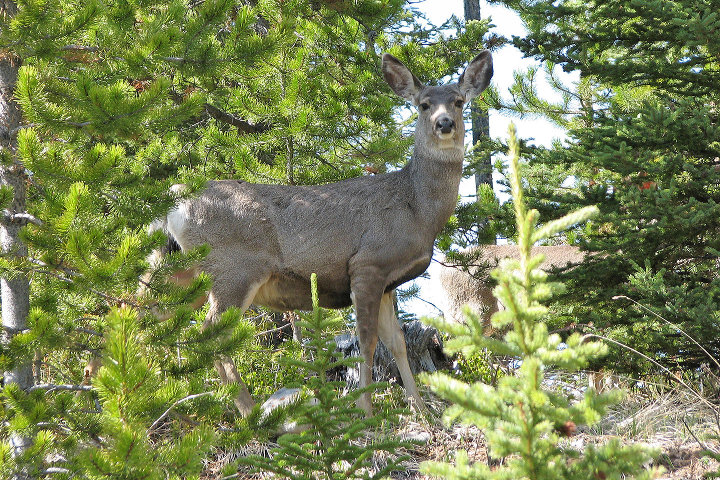
A deer not far from where we parked
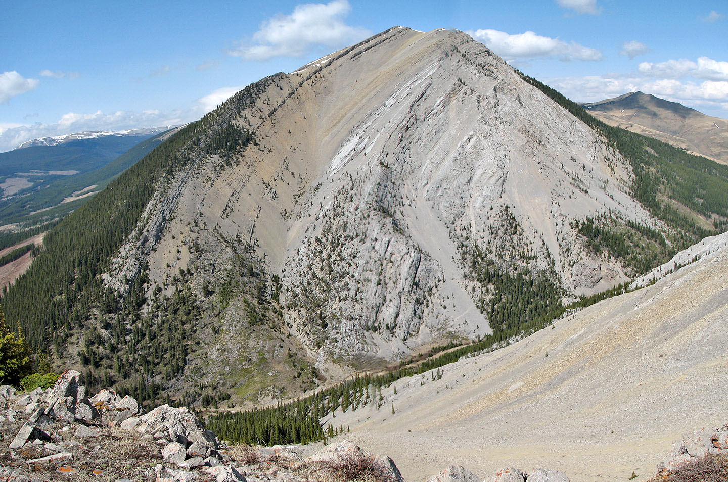
The four-hour trip was too short for me, so while Dinah relaxed I climbed
halfway up Coffin Mountain – over 300 m – and took this photo of Livingstone's
false summit. Mouse over for our route up Livingstone.
82 J/1 Langford