bobspirko.ca | Home | Canada Trips | US Trips | Hiking | Snowshoeing | MAP | About
Mount McDougall (attempt)
Kananaskis, Alberta
May 22, 2005
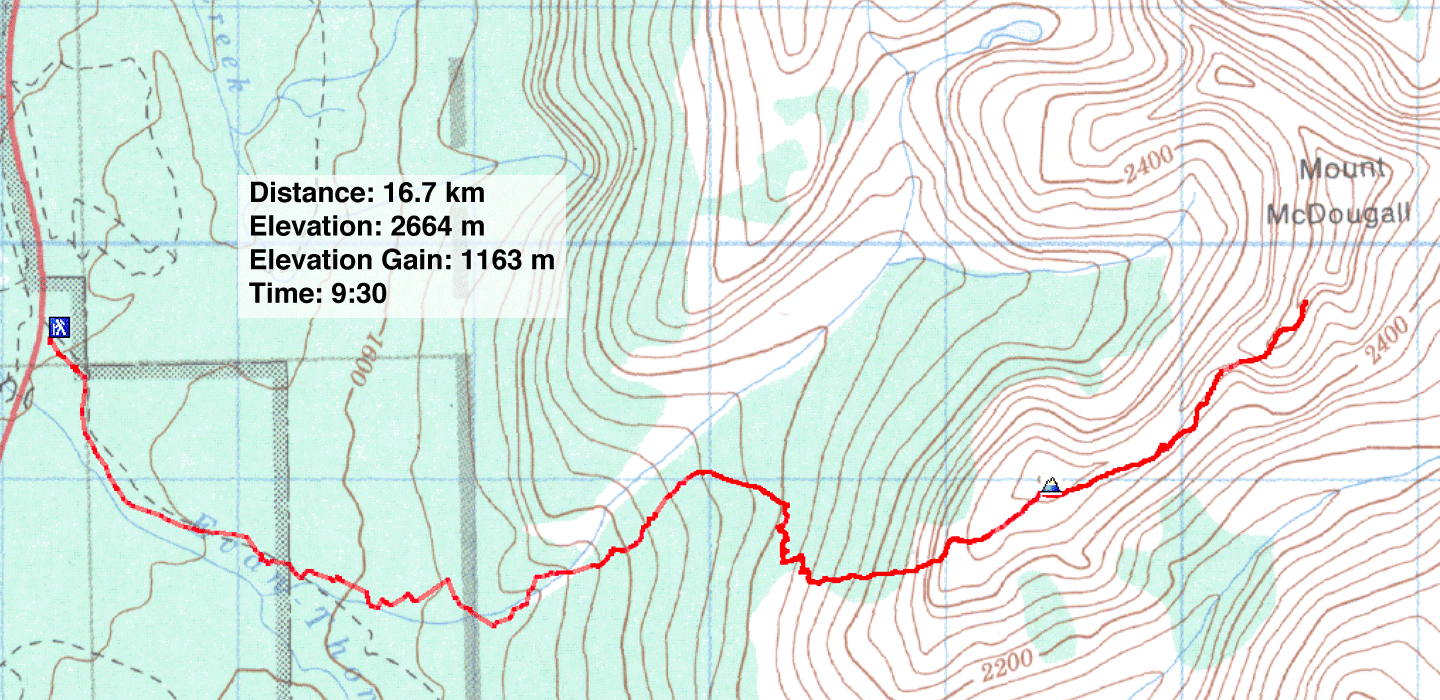
Distance: 16.7 km
Cumulative Elevation Gain: 1232 m
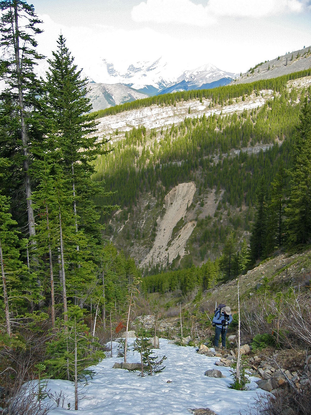
After climbing Volcano Peak last year, Dinah and I returned to see if we could reach Mount McDougall. We retraced our steps save that we hiked further up the valley before ascending the north slopes. This avoided the bushwhacking and the talus slopes, although we lost time routefinding because of a cliff band.
When we reached Volcano Peak, we found a new summit register courtesy of the Alpine Club of Canada. Later I learned that an entry was made after ours that related a helicopter rescue for a sprained ankle. Must be from that miserable talus slope!
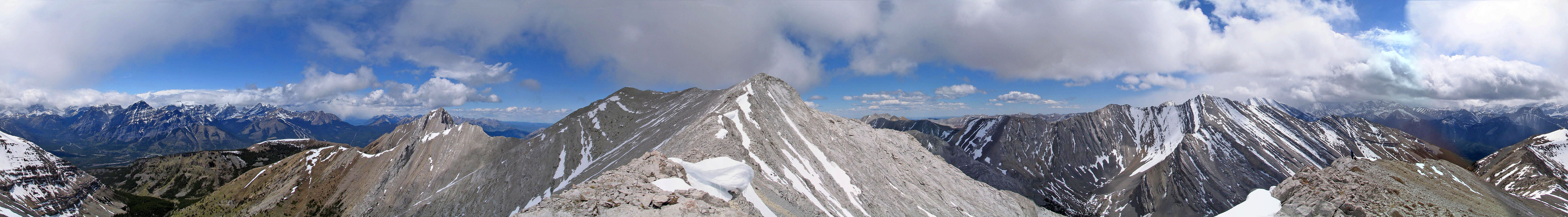
After reaching Volcano Peak, we hiked about 1.5 km along the ridge. When we hit a sheer drop, we abandoned our attempt to climb Mount McDougall. We couldn't go around the drop because of snow. I took a panorama and we returned the same way.
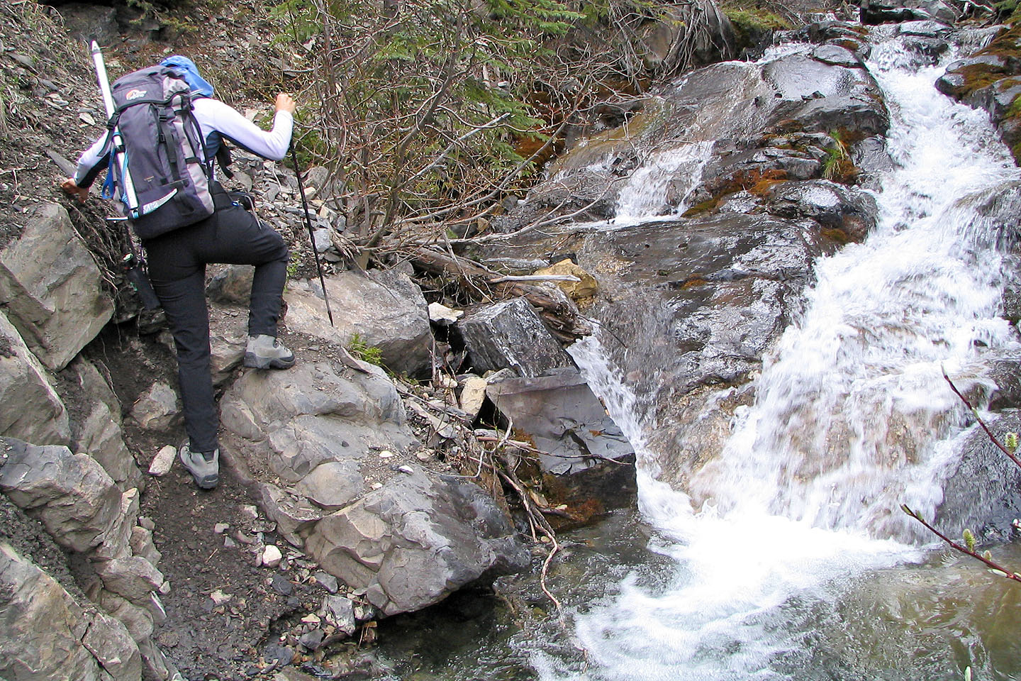
Negotiating the trail alongside McDougall Creek
Hiking up a gully
After ascending this slope I went right to scope out a steep gully
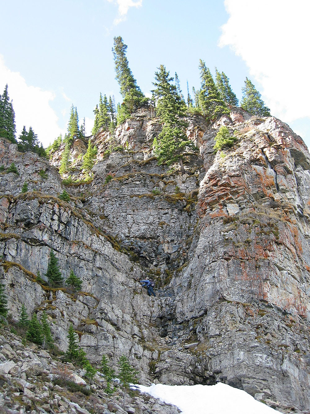
The gully proved to be too steep for me
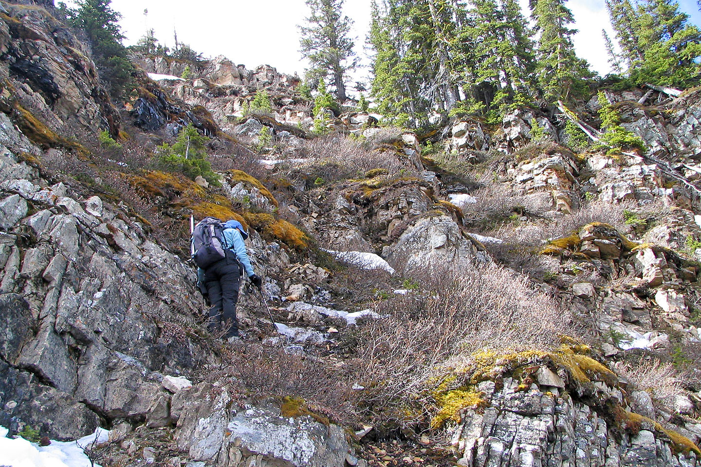
We found easier terrain on our left although still very steep
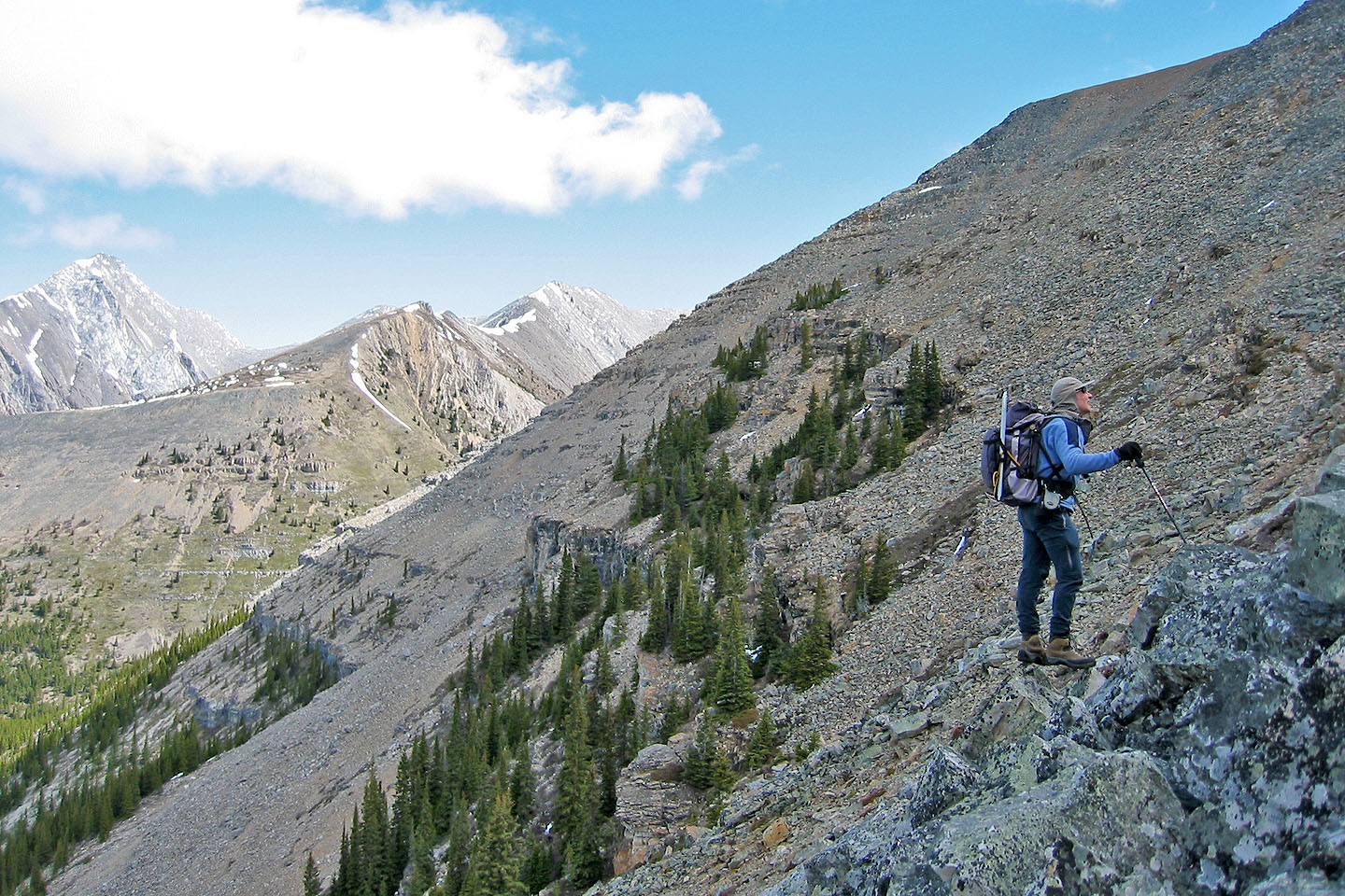
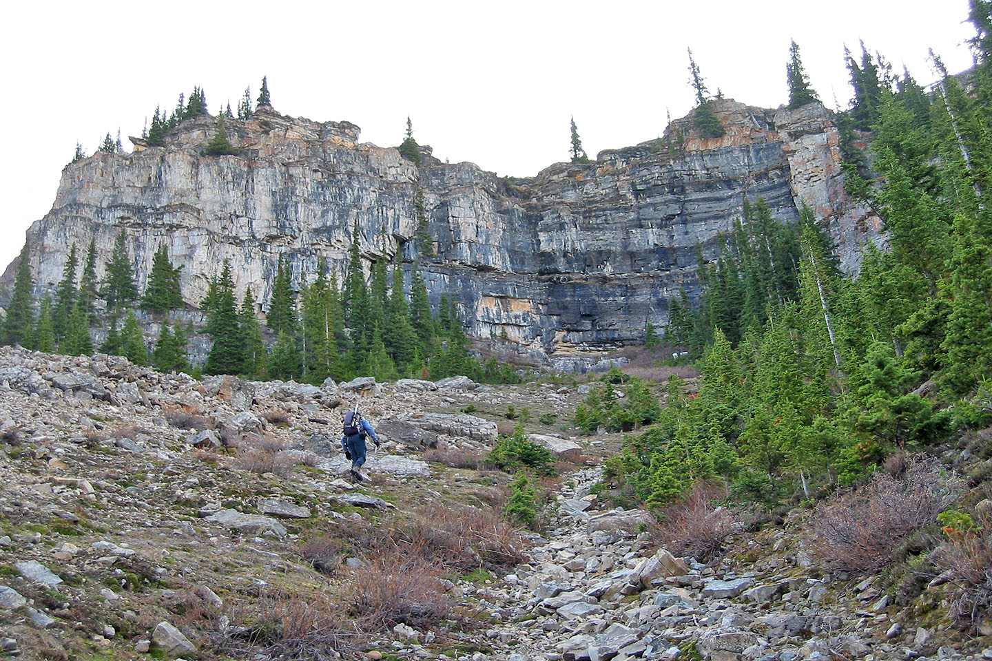
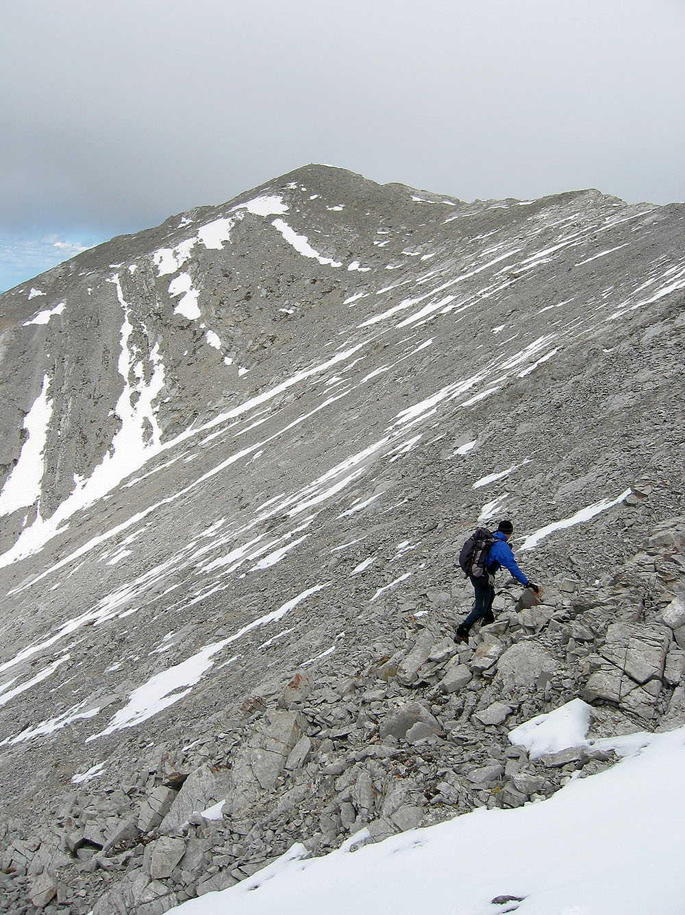
Eventually we reached the scree slope
Mount Kidd rises behind
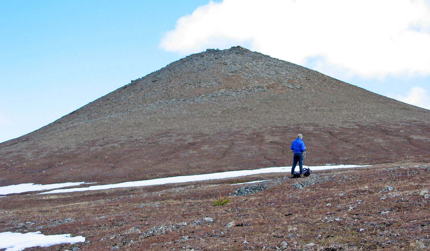
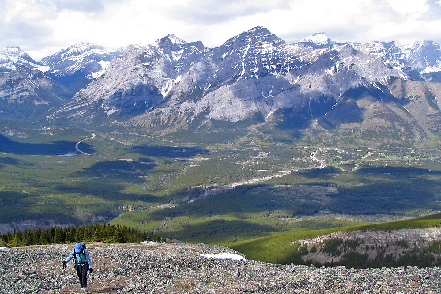
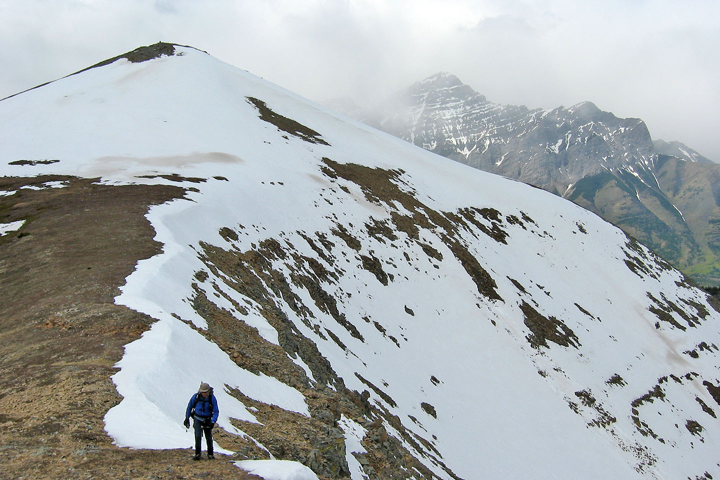
At the base of Volcano Peak
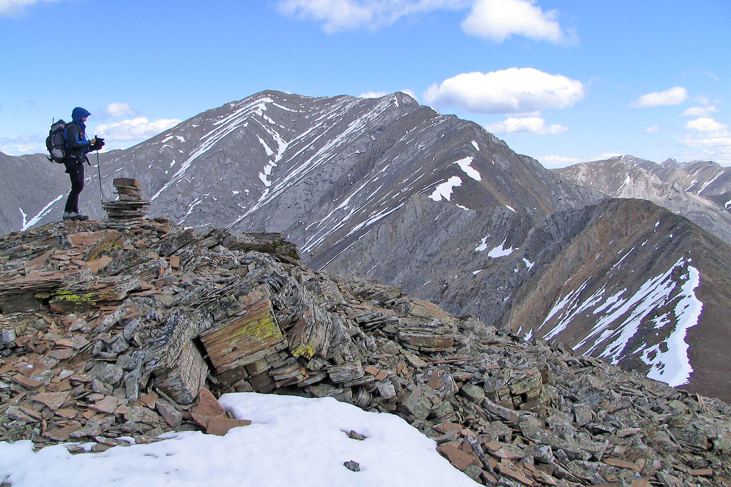
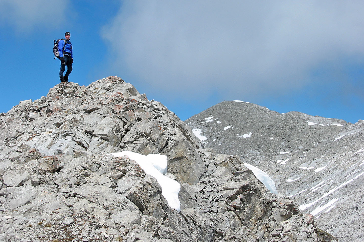
On Volcano Peak
Coming down from the summit we lost 60 m
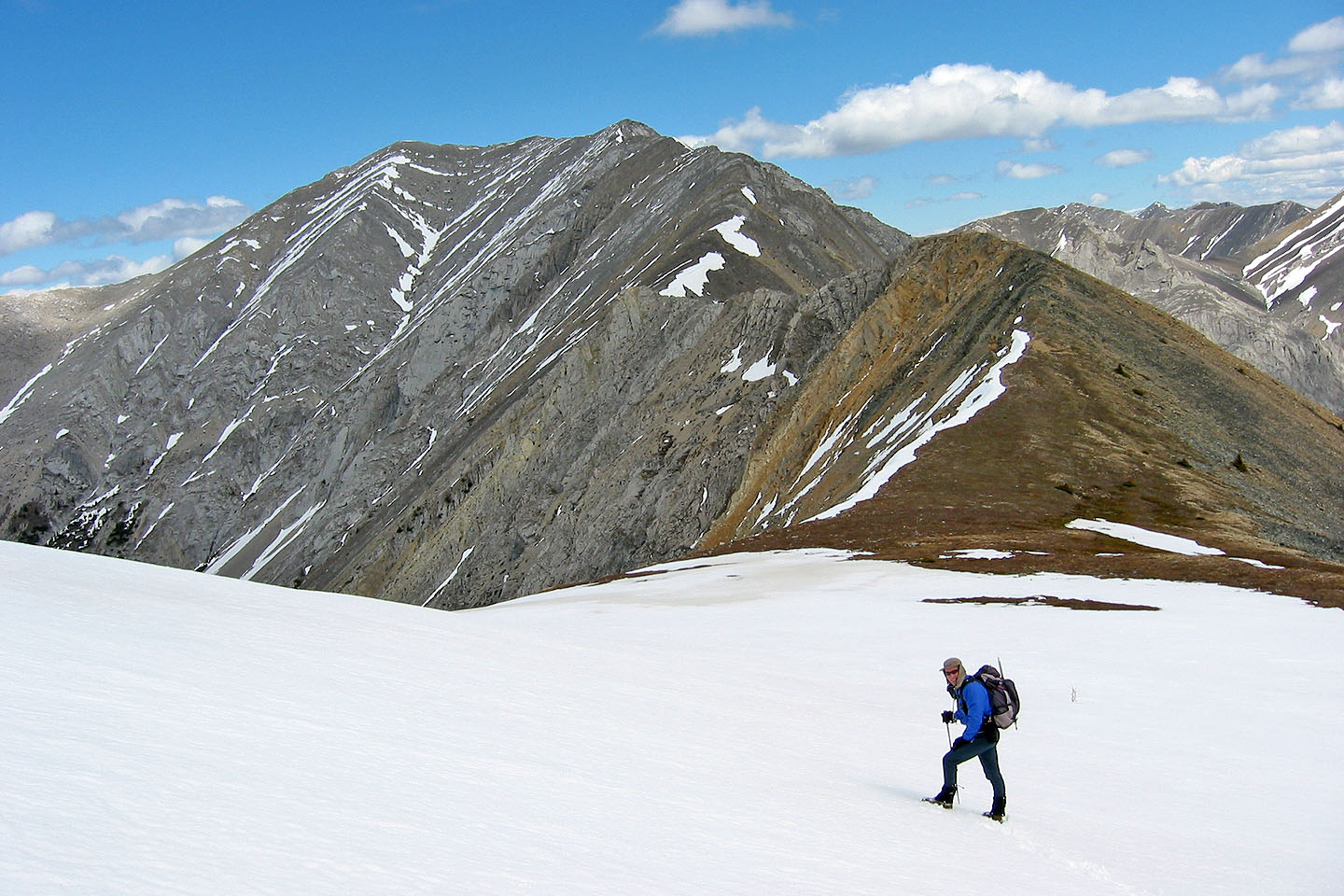
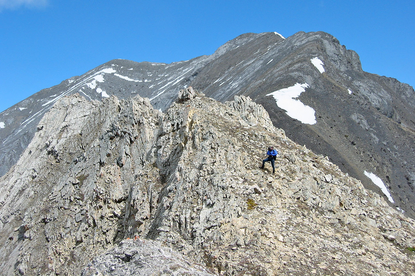
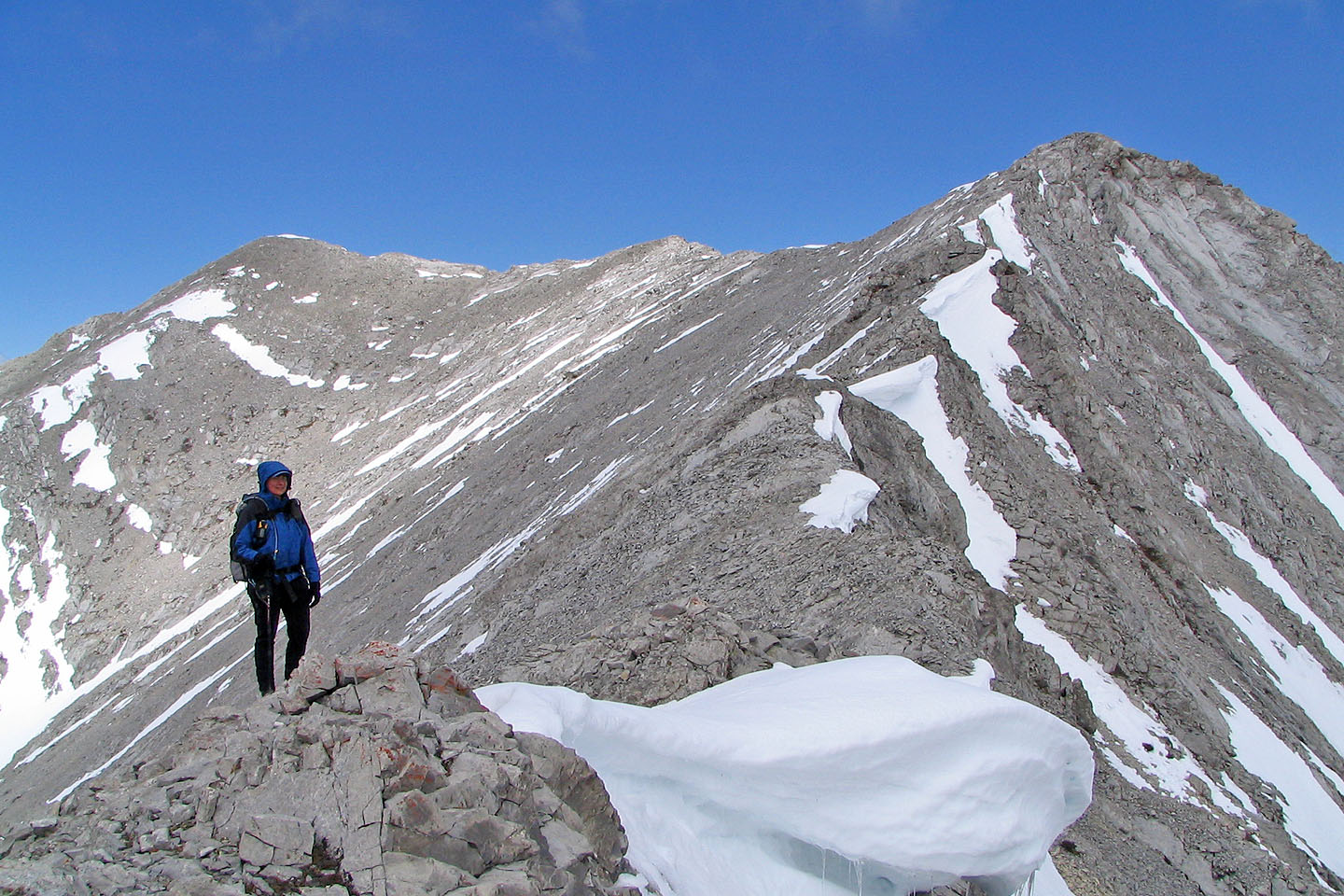
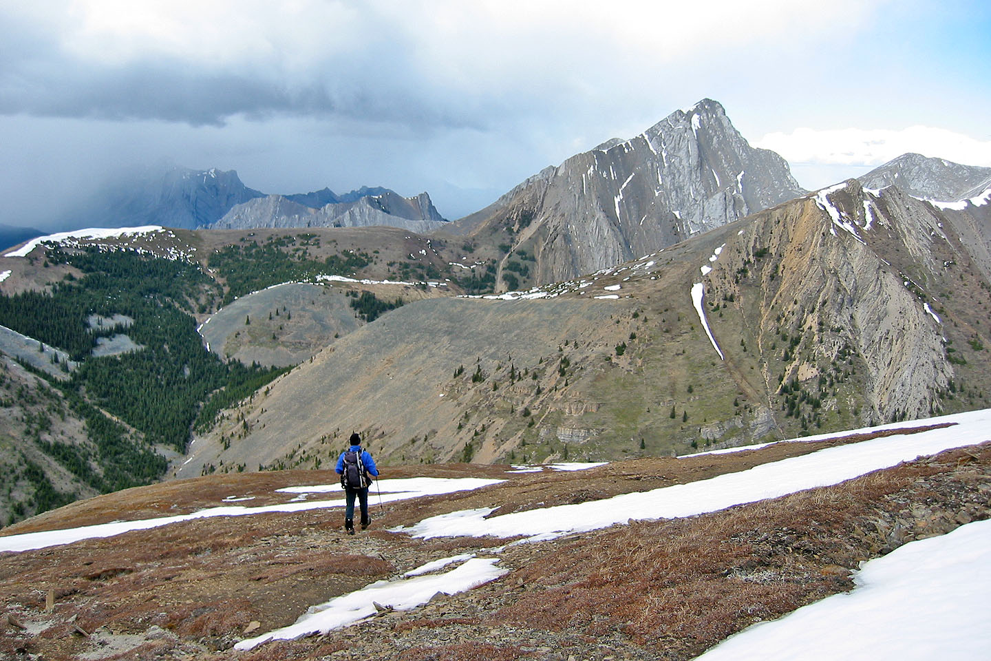
We started along the ridge for Mount McDougall
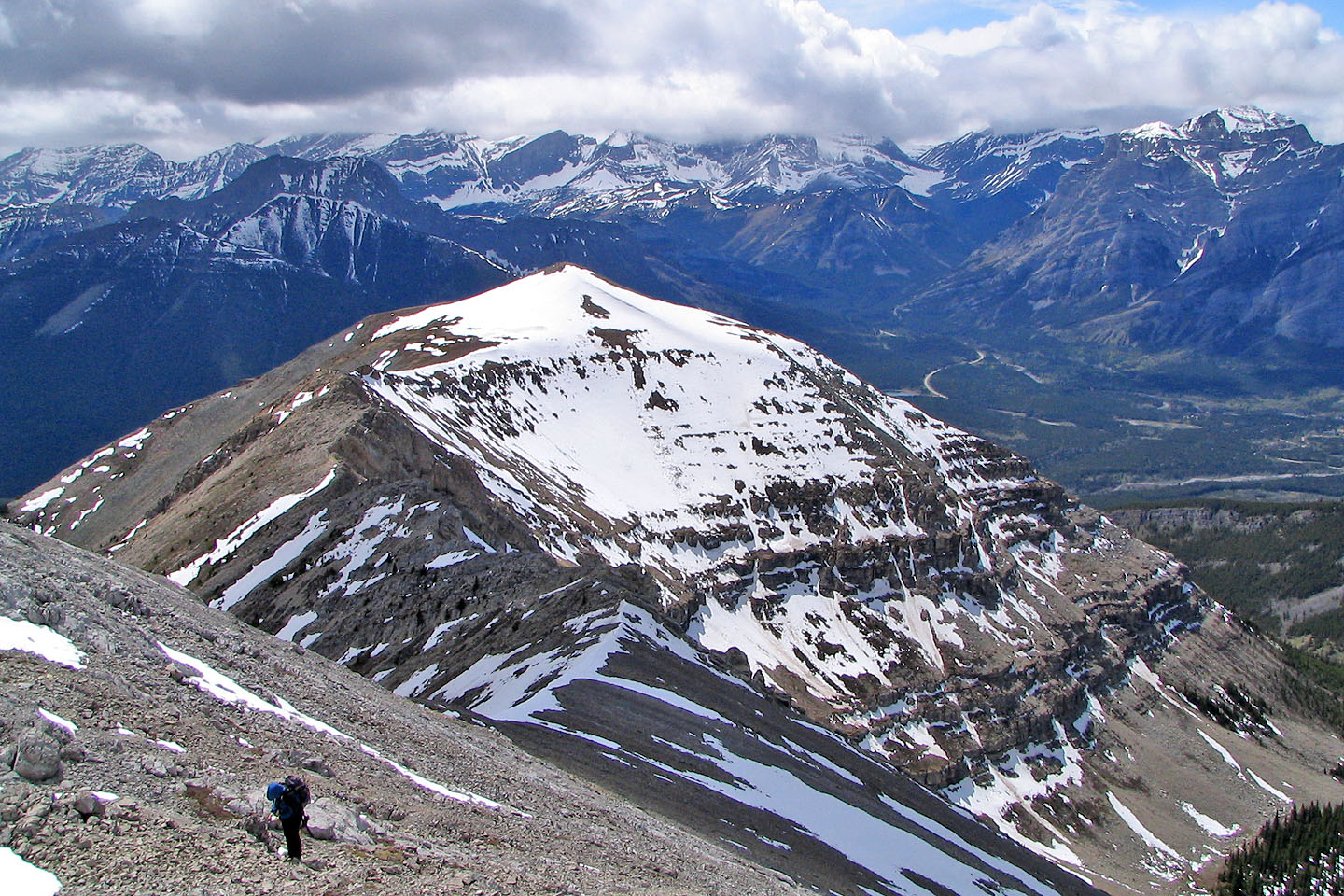
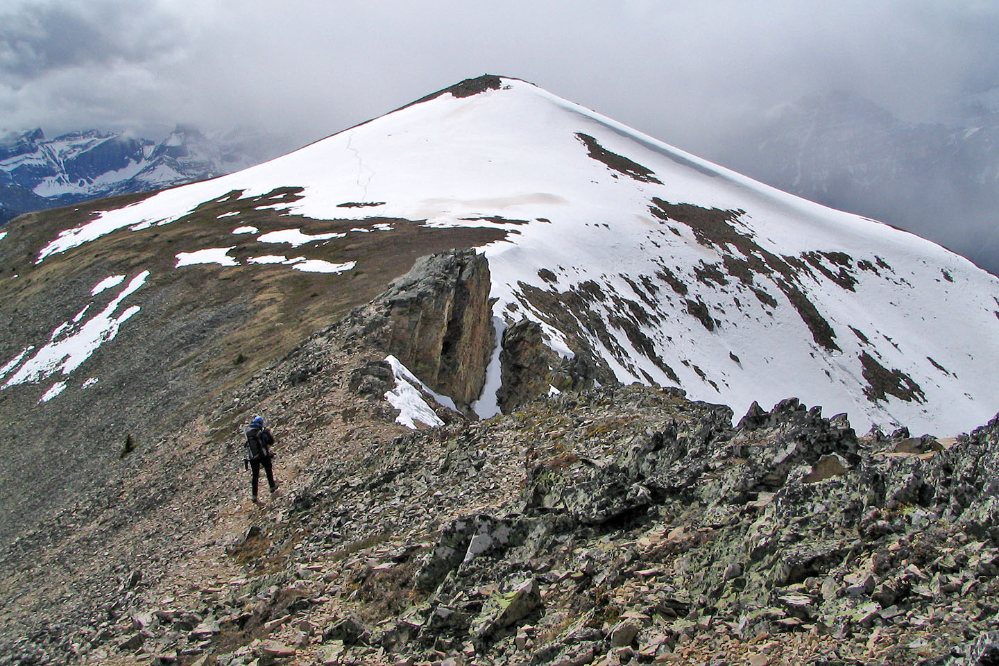
Looking back at Volcano Peak
Some interesting rocks
Looking back
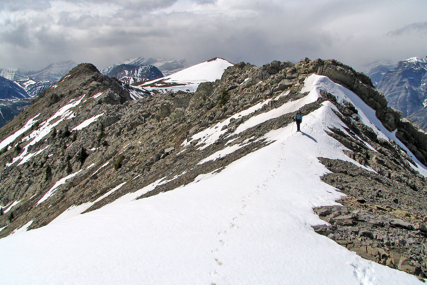
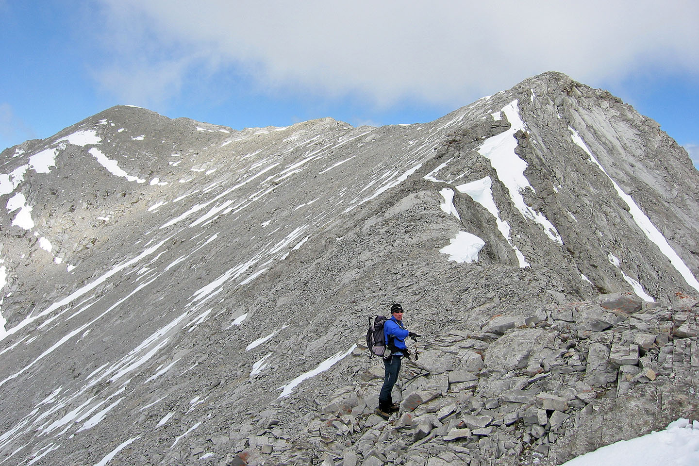
Volcano Peak (centre) receded in the distance as we ventured along the ridge (mouse over for the view ahead)
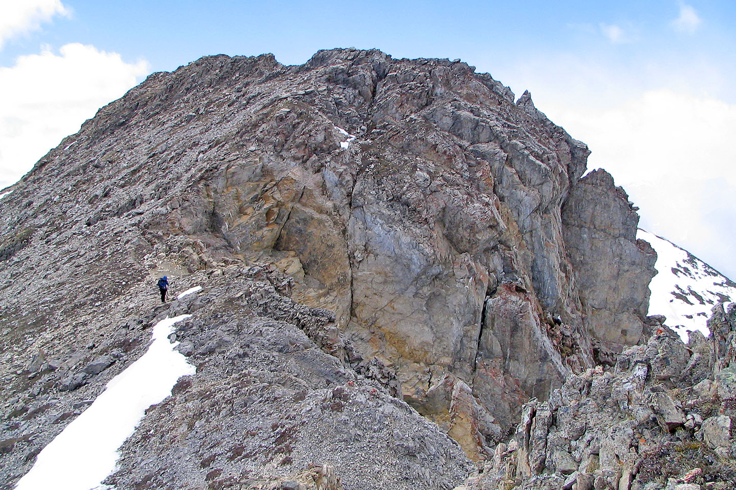
We passed a large cornice
Thus far, the ridge was mostly a hike
Volcano Peak takes on the air of a big peak
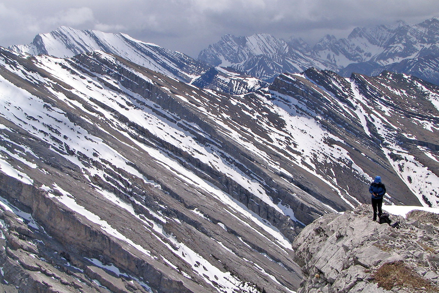
Striations on the ridge south
I couldn't see a way down the cliff
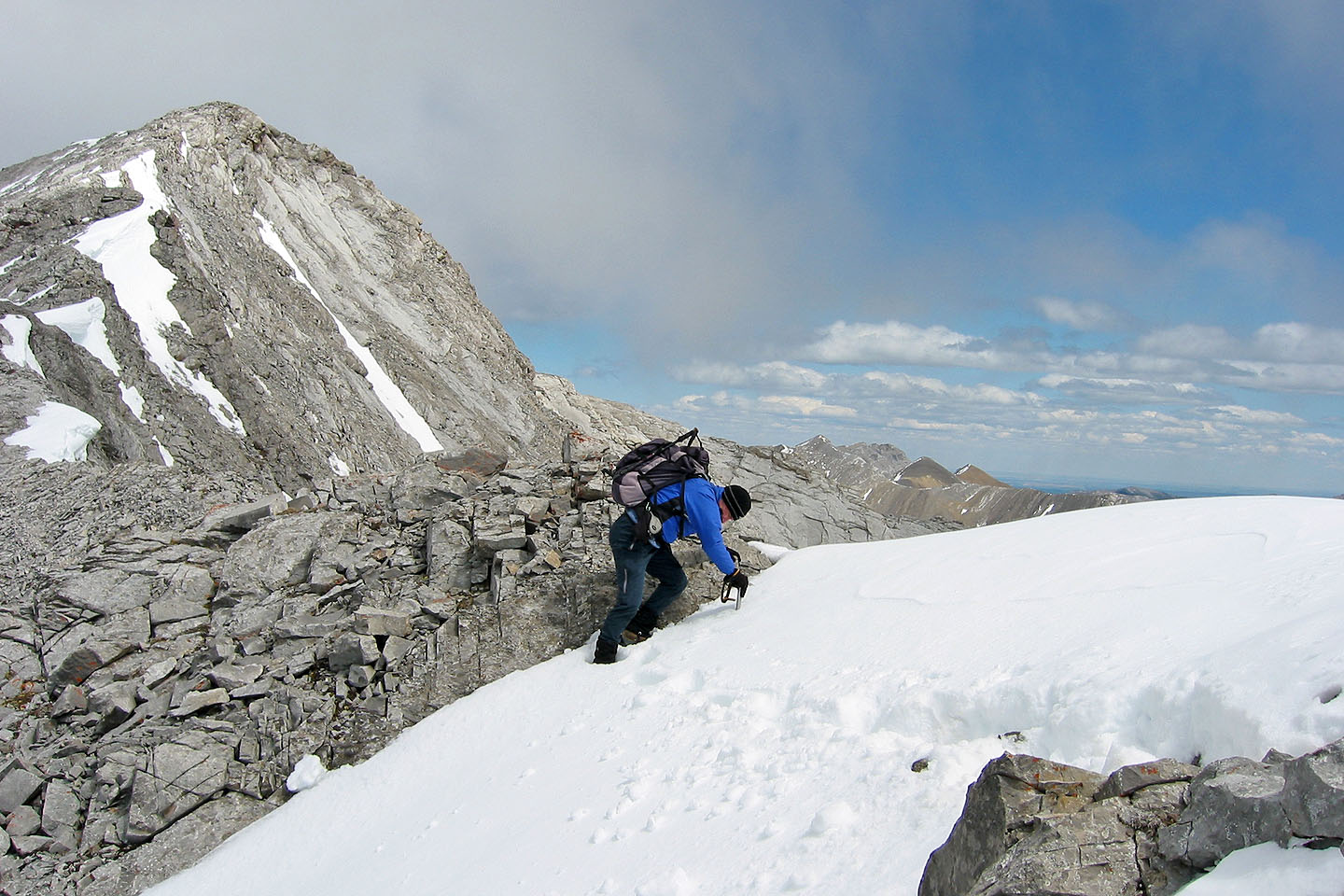
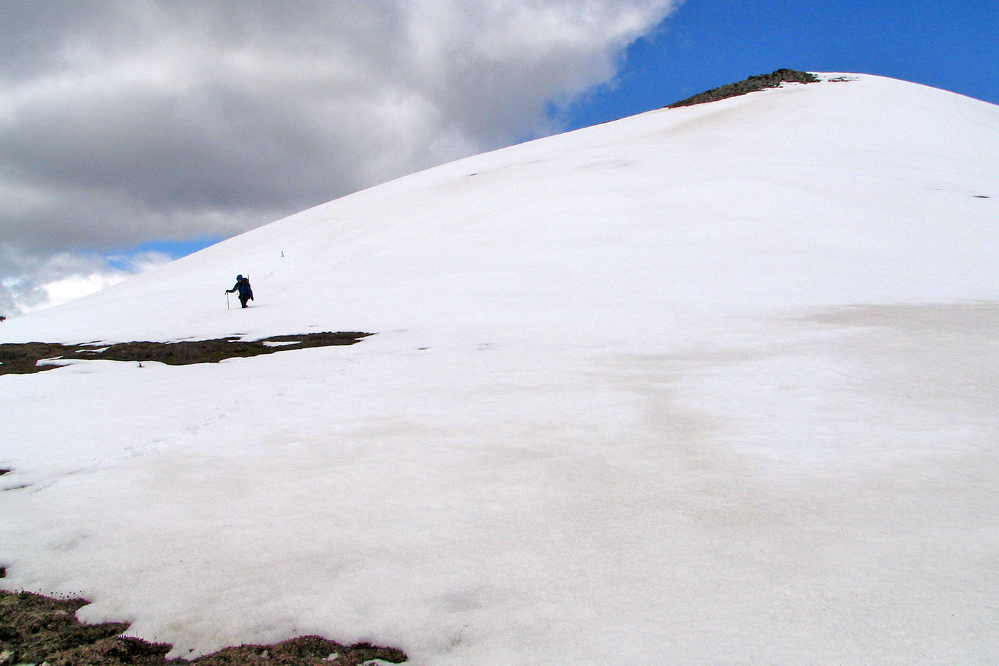
Crossing a snow slope
As far as we got
Heading back to Volcano Peak
On our way back we noticed that the blue sky east juxtaposed with dark clouds north
82 J/14 Spray Lakes Reservoir