bobspirko.ca | Home | Canada Trips | US Trips | Hiking | Snowshoeing | MAP | About

Highwood South Peak
Kananaskis, Alberta
October 1, 2022
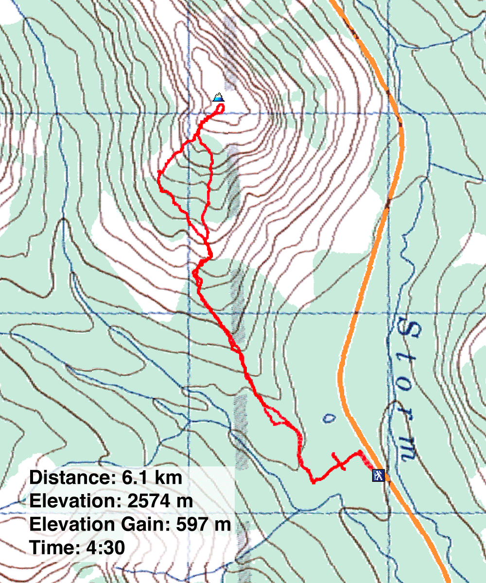
Distance: 6.1 km (6.1 mi)
Cumulative Elevation Gain: 600 m (1969 ft)
The suggested route for the South Peak of Highwood Ridge is a north-to-south traverse, but Highwood South Peak alone is a worthy objective. The short hike begins at the same trailhead as Storelk Mountain but soon leaves the trail to ascend the south ridge of South Peak. Accompanying Dinah and me on this adventure were Sonny and Zosia and their friends Dorota and Marta.
The trailhead is unmarked and difficult to spot, but the trail is easy to follow. After 100 m, we passed between two ponds. Although they only took a couple of minutes to reach, the tiny, scuzzy pools weren't worth the effort. 150 m later, we turned onto another trail.
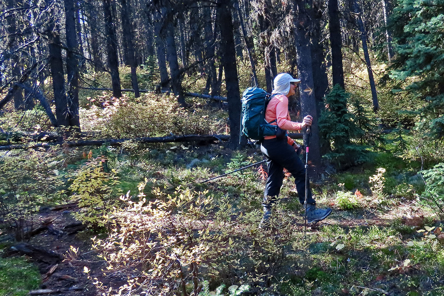
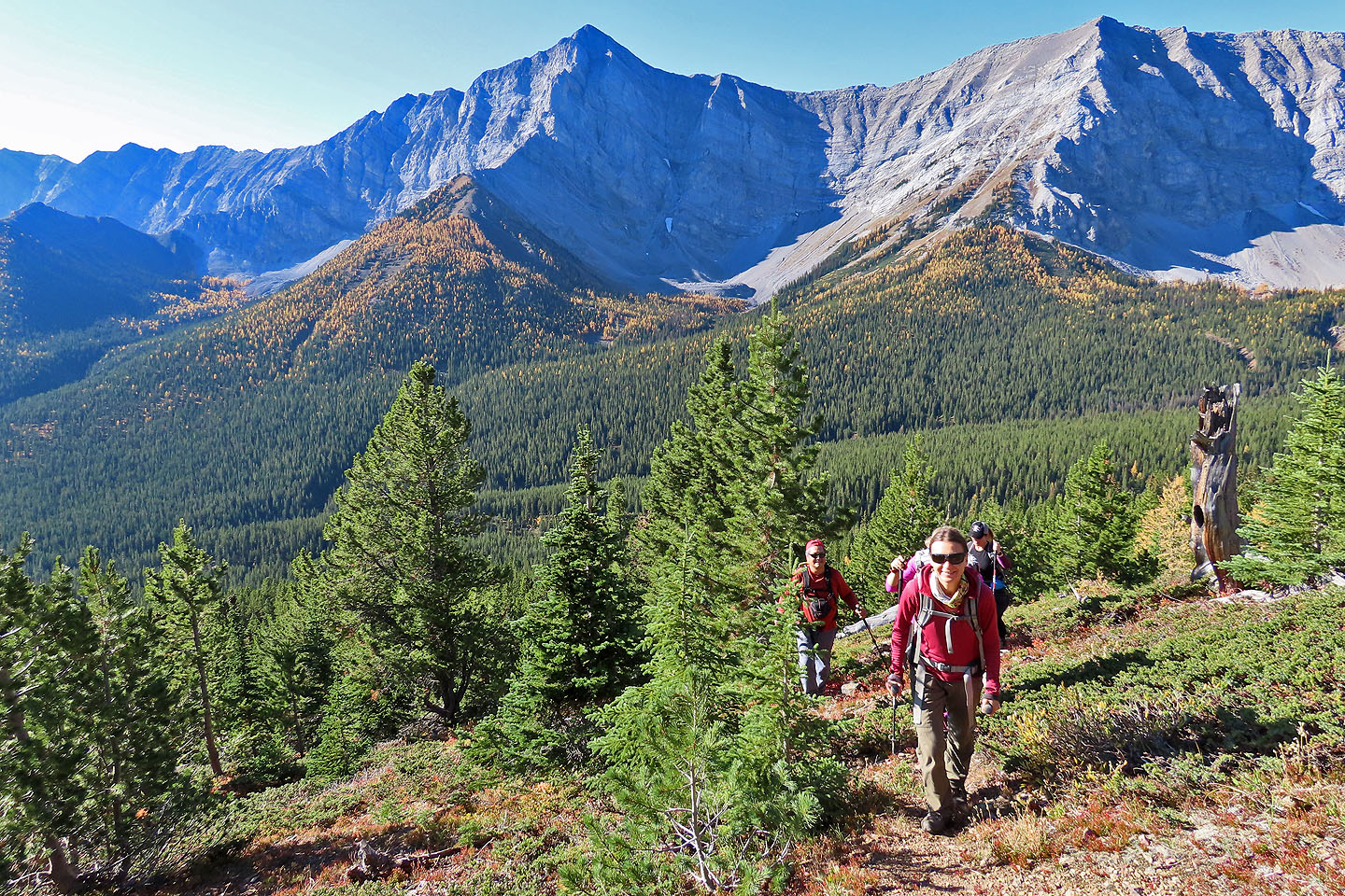
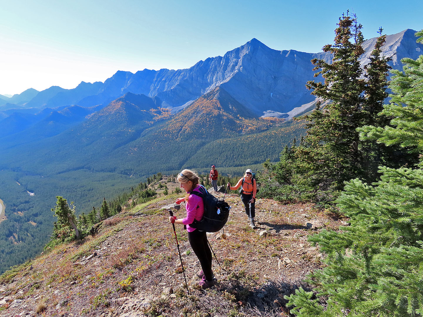
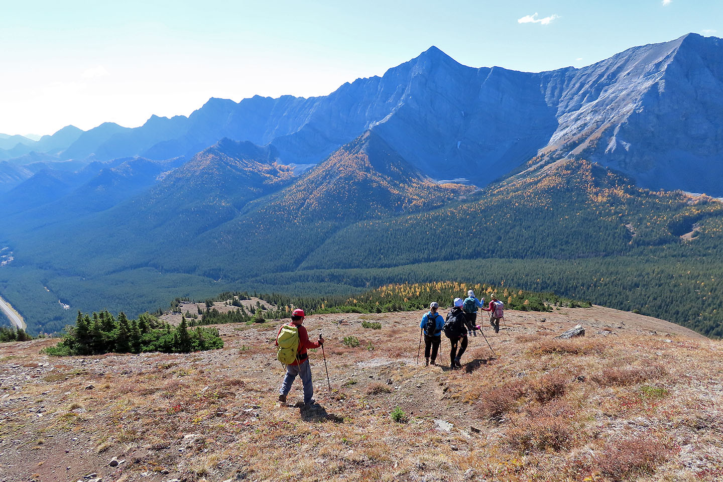
We followed the trail briefly, leaving it when it swung west. We started up a wooded slope which soon resolved into a spur with faded flagging. It was easygoing but ended abruptly when it merged with the larger south ridge. We climbed the treed slope on our right to gain the ridge. At this point, all route uncertainty fell aside as did most of the trees; we could see well up the ridge. Released from routefinding, our focus shifted to the emerging scenery around us. And there was much to take in, such as the Elk Range and the golden larches that graced its lower slopes
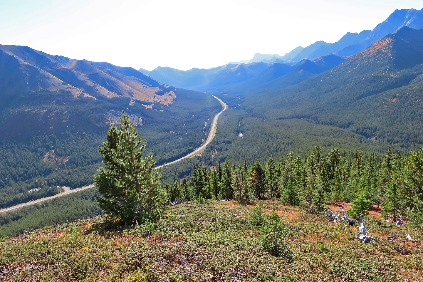
We followed the ridge to the top. On the open summit, I felt a bit smug as I gazed down at the hundreds of cars that parked along the highway and jammed parking lots. While the six of us enjoyed tranquillity up high, far below countless hikers must have been swarming Ptarmigan Cirque and Arethusa Cirque.
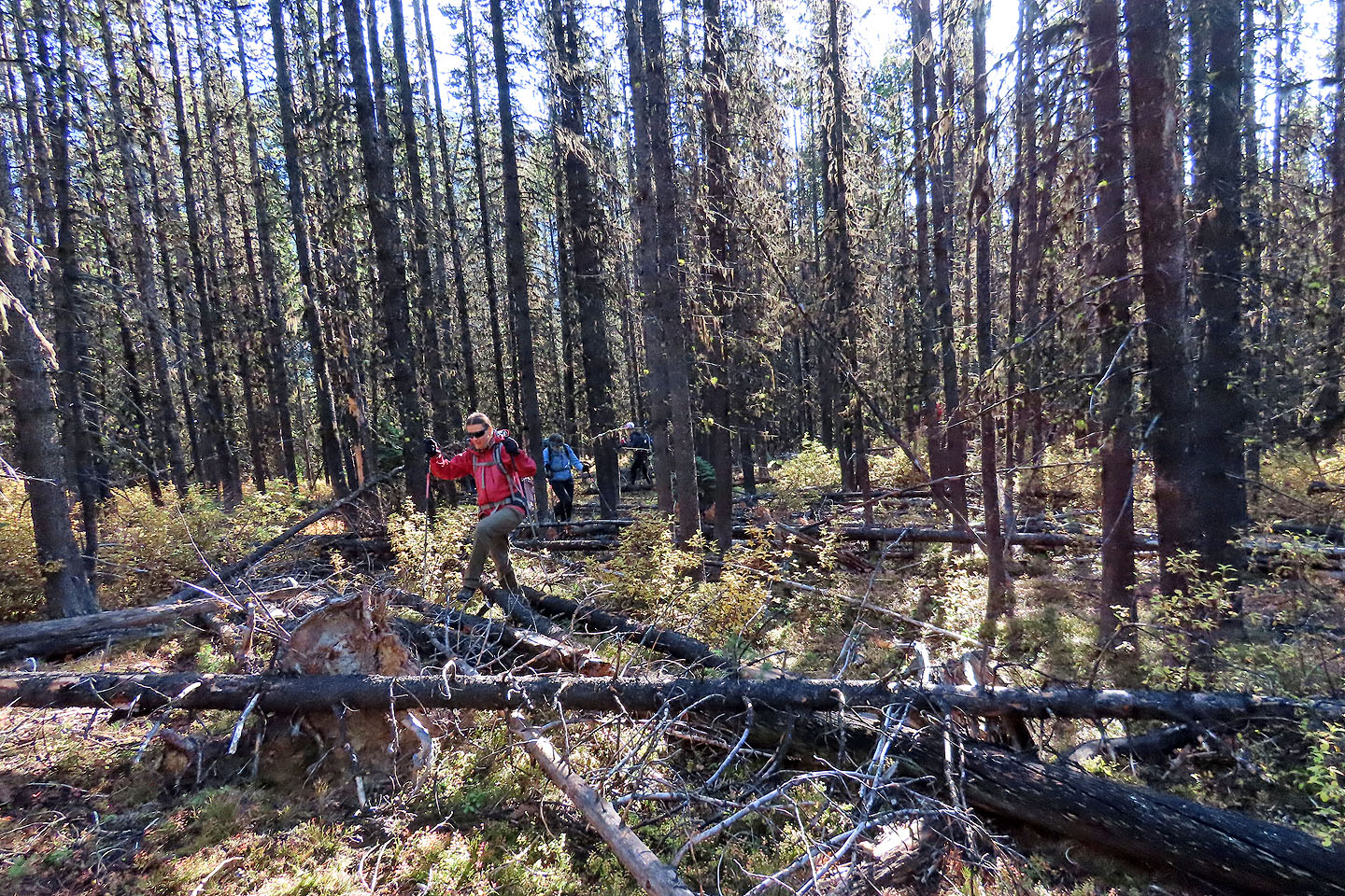
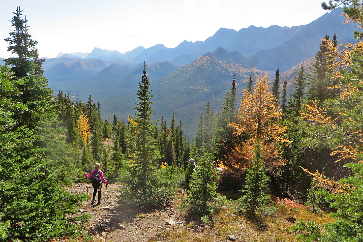
After starting down, we took notice of big yellow larches scattered among evergreens. On a whim, we adjusted our descent to visit them. There weren't many, and bushwhacking was tight in spots, but we were satisfied with seeing a few before we traversed back to the ascent ridge. Back on familiar terrain, the return trip went quickly. We reached the trail and hiked back to the trailhead. Besides being a pleasant trip, it was a productive one: it gave us ideas we plan to explore next larch season.
KML and GPX Tracks
Sonny's Trip Report
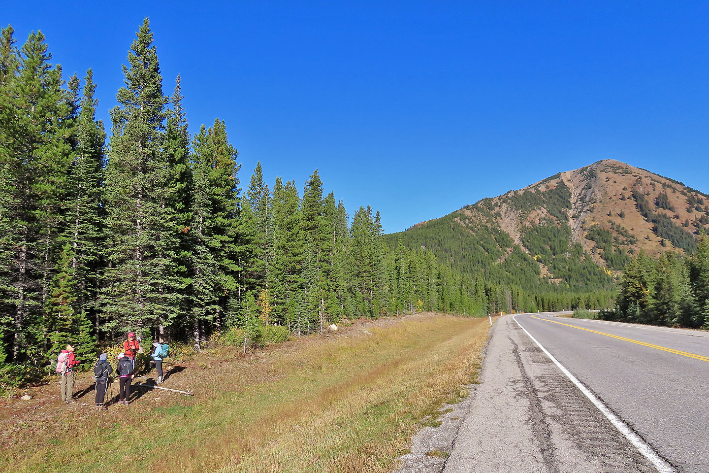
Gathering by the trailhead. South Peak is in the background.
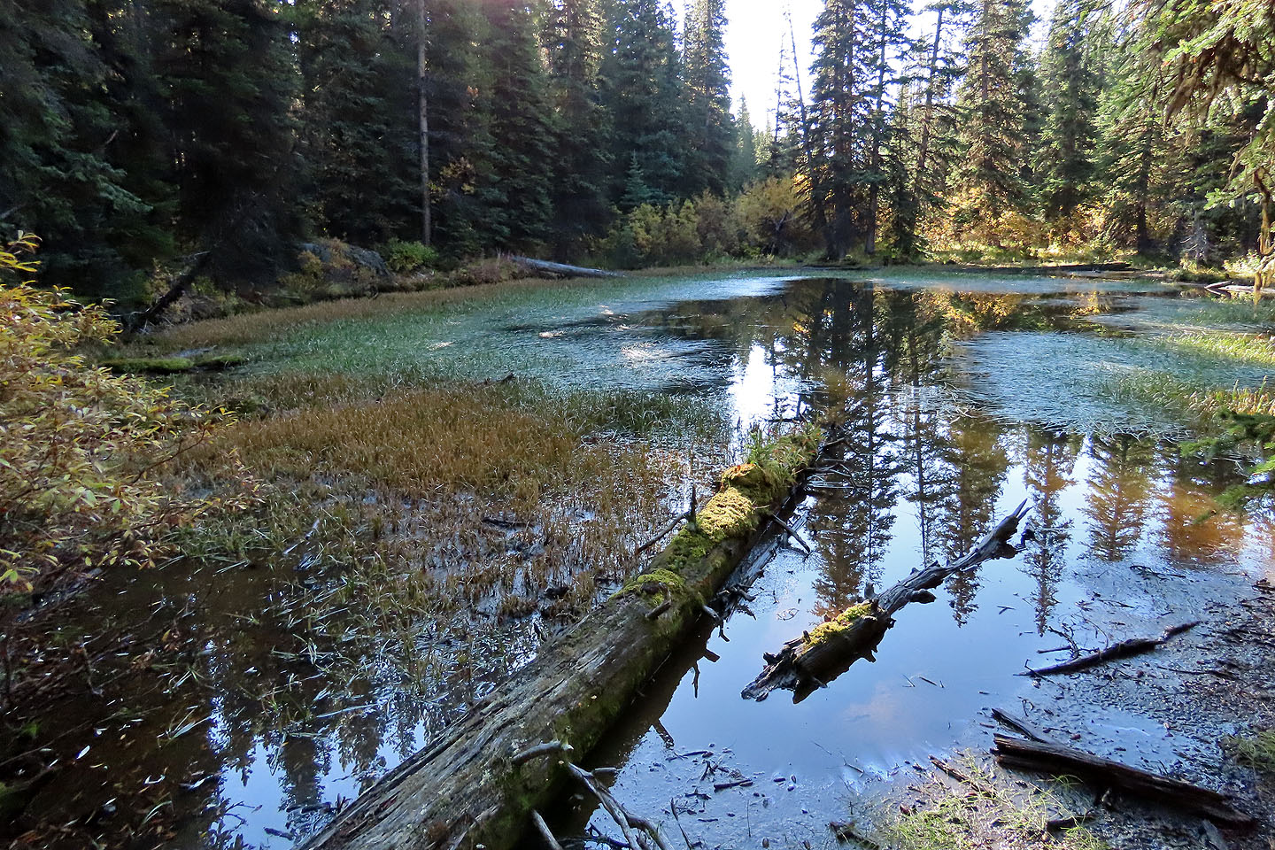
100 m from the trailhead, on either side of the trail, are two ponds, but they weren't pretty
150 m after the ponds we turned onto a trail. An arrow on a tree points the way.
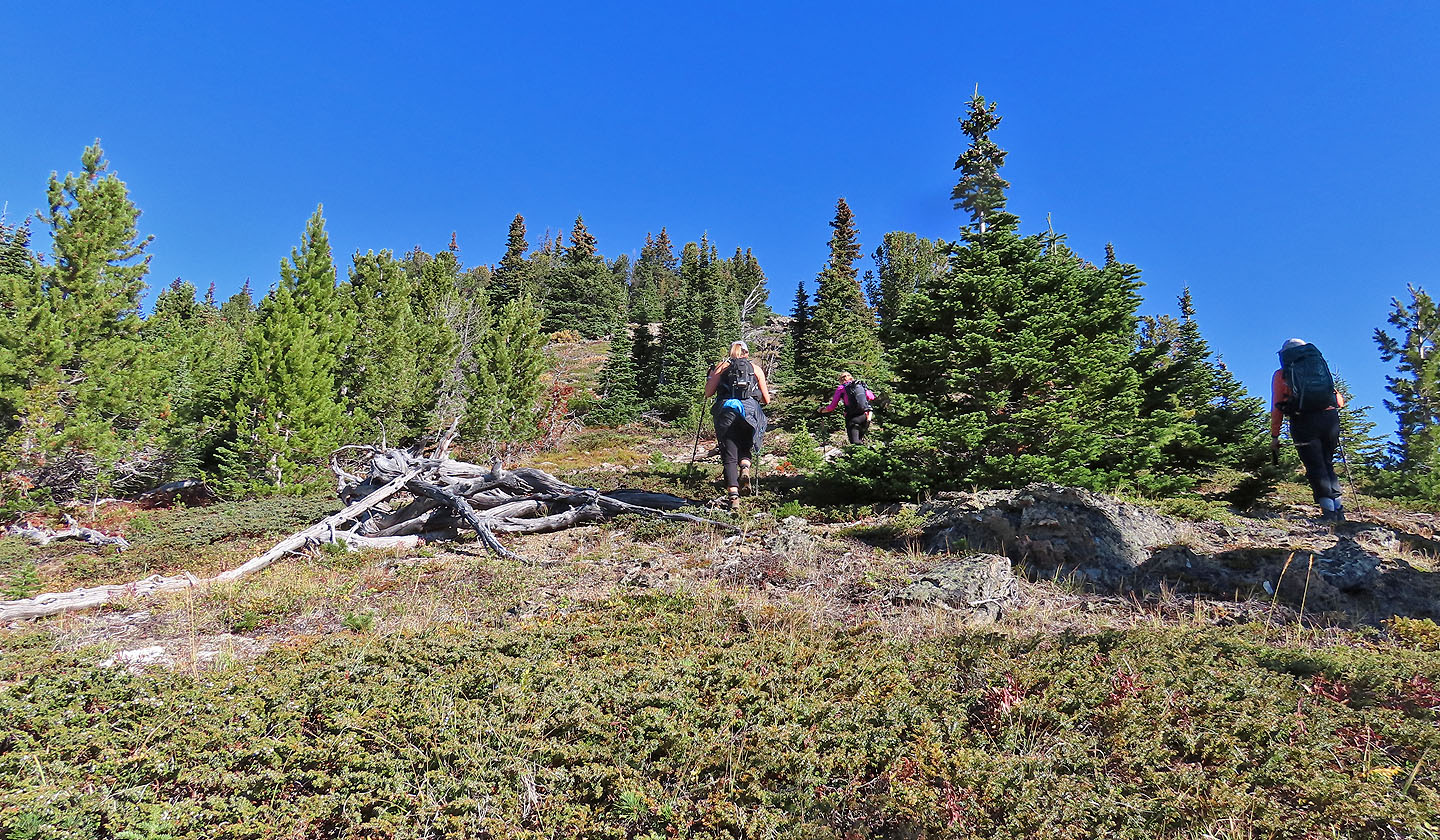
We soon left the second trail and started log-hopping up the slope
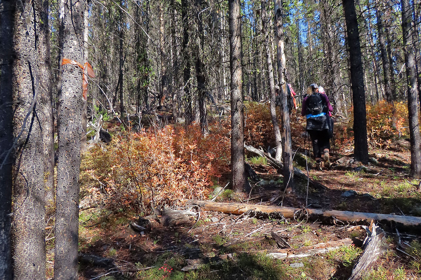
We came across old flagging and a vague trail
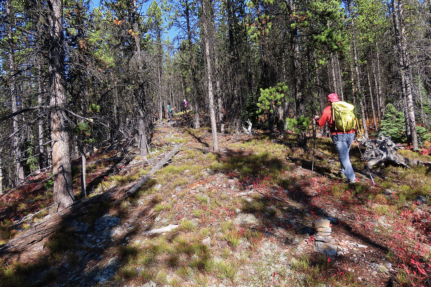
After a time, the terrain resolved into a spur that merged with the south ridge
Sonny and Zosia smile as we emerged from the trees
 From the ridge, we could see our cars and the two ponds (mouse over)
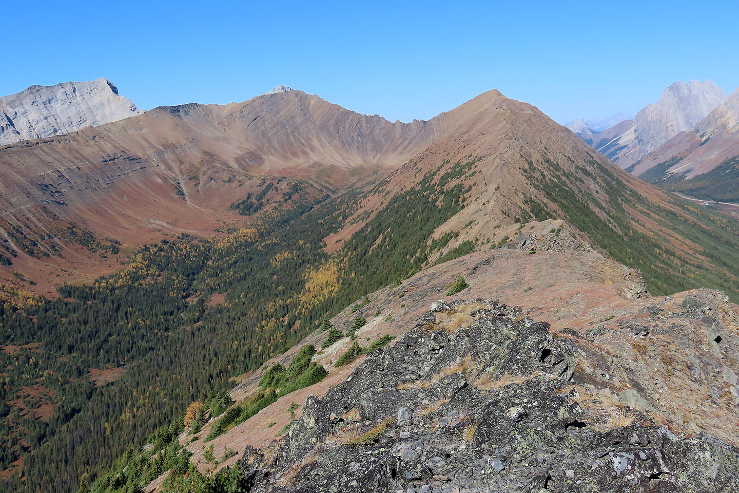
Continuing up the ridge
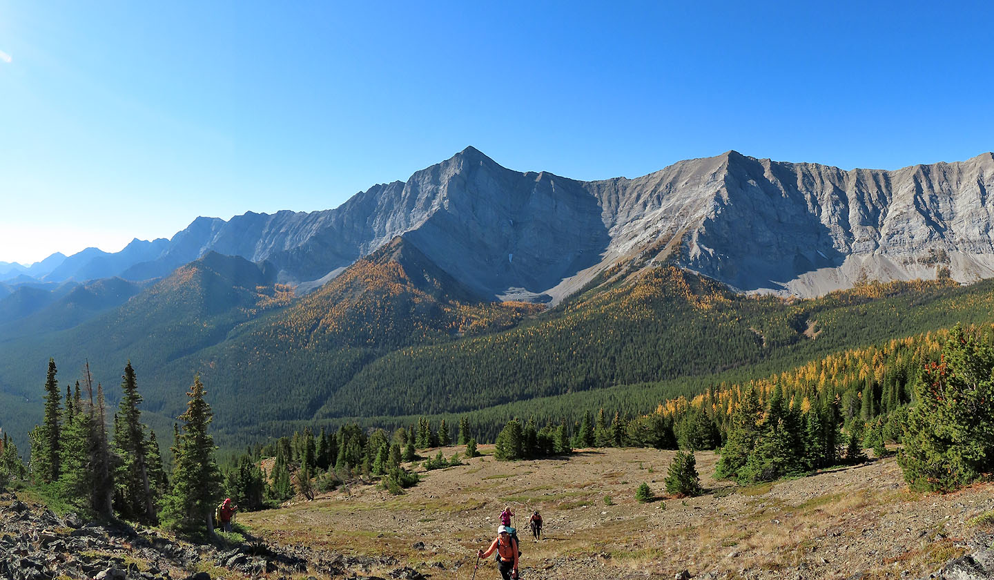
Looking back at Storelk Mountain
Dinah takes a photo (mouse over) of the girls seen in the middle
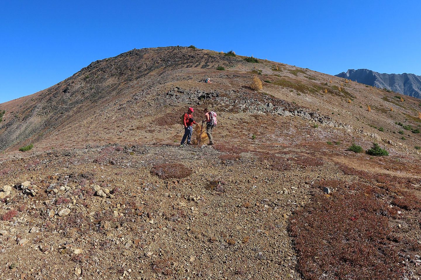
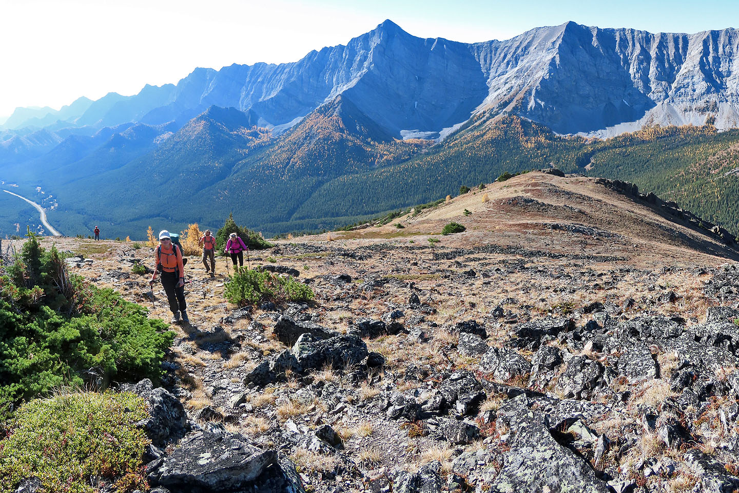
We made our way to the ridgetop
Looking back along the open ridge
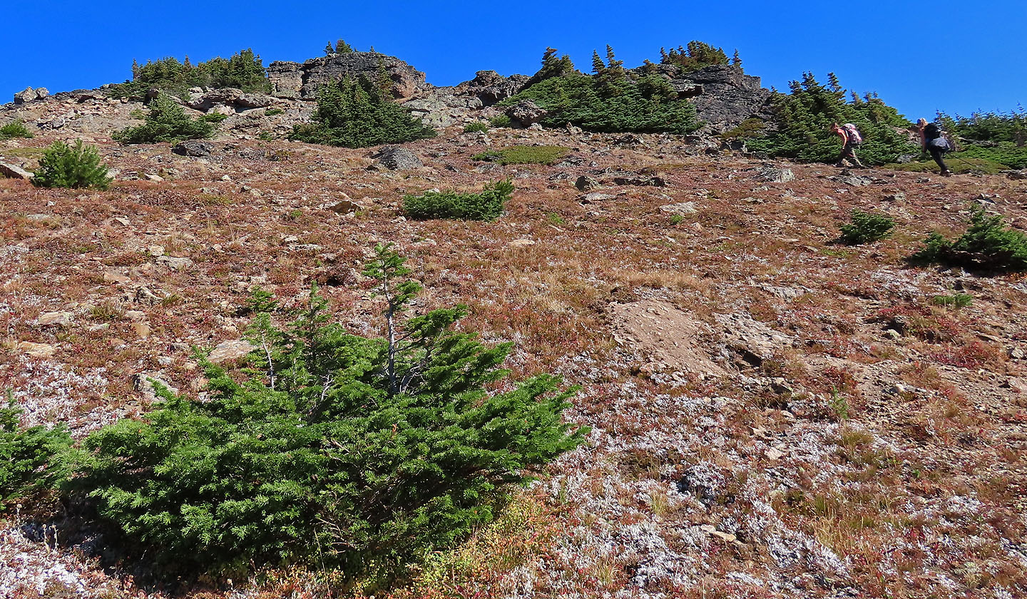
We gravitated toward outcrops on the ridge
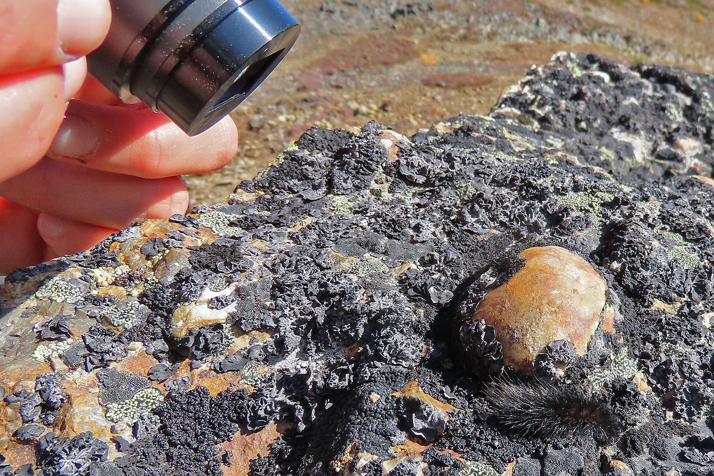
Zosia photographs a furry caterpillar crawling on a rock
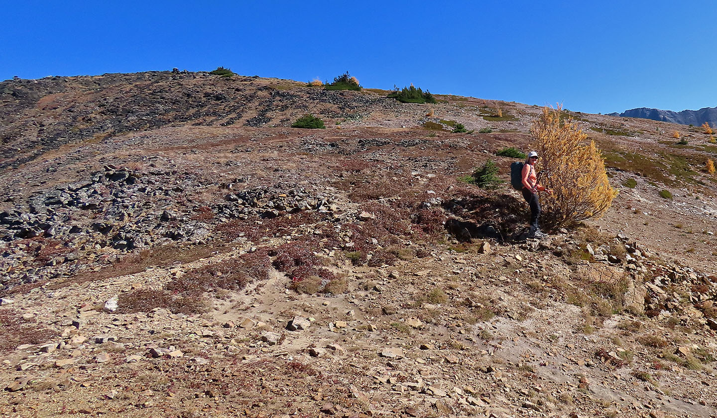
Sonny and Zosia stop to feel the soft needles of a larch below the summit
Dinah stops at a another larch. The summit cairn is far left.
Looking back just before reaching the summit
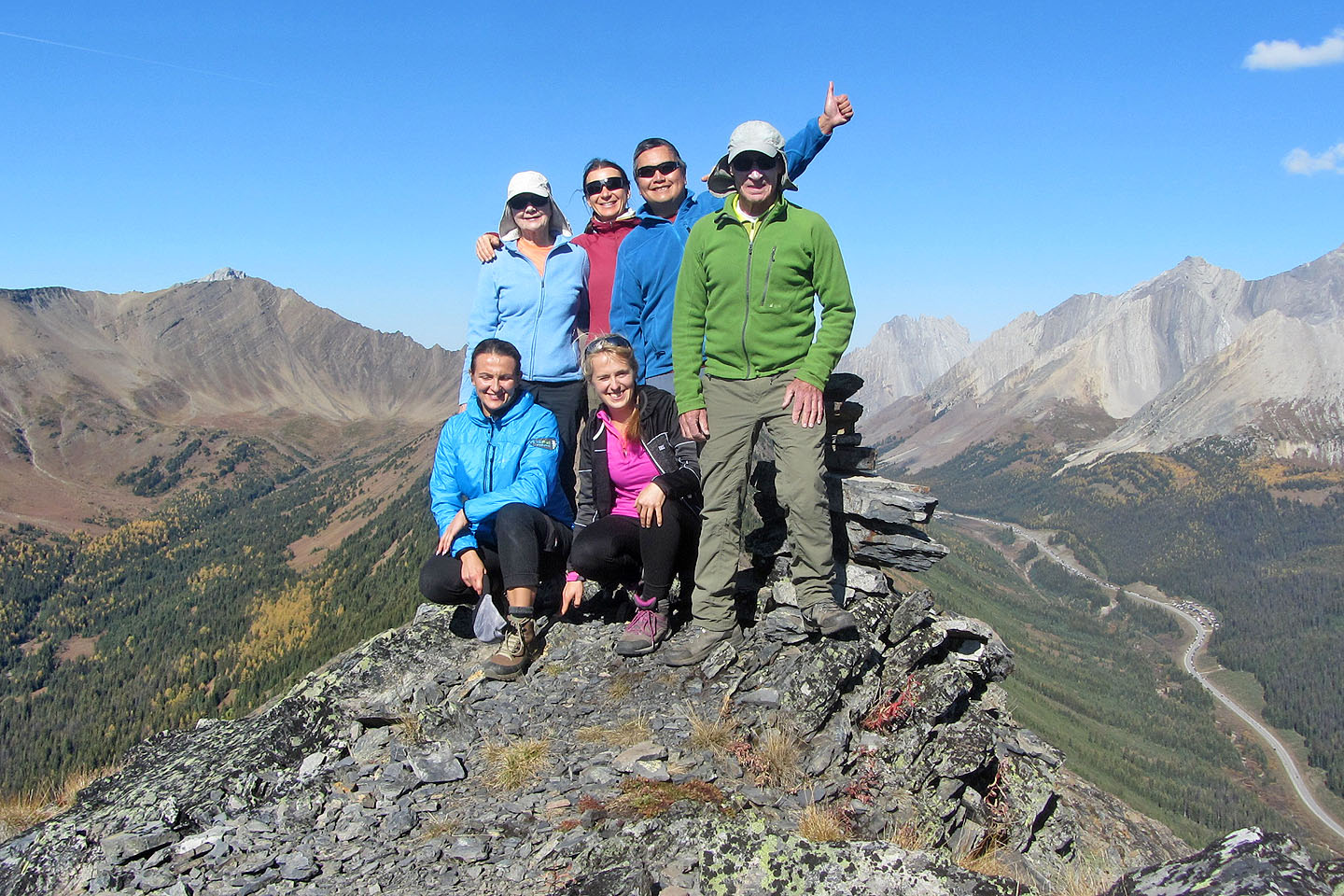
Kneeling: Marta, Dorota. Standing: Dinah, Zosia, Sonny and me
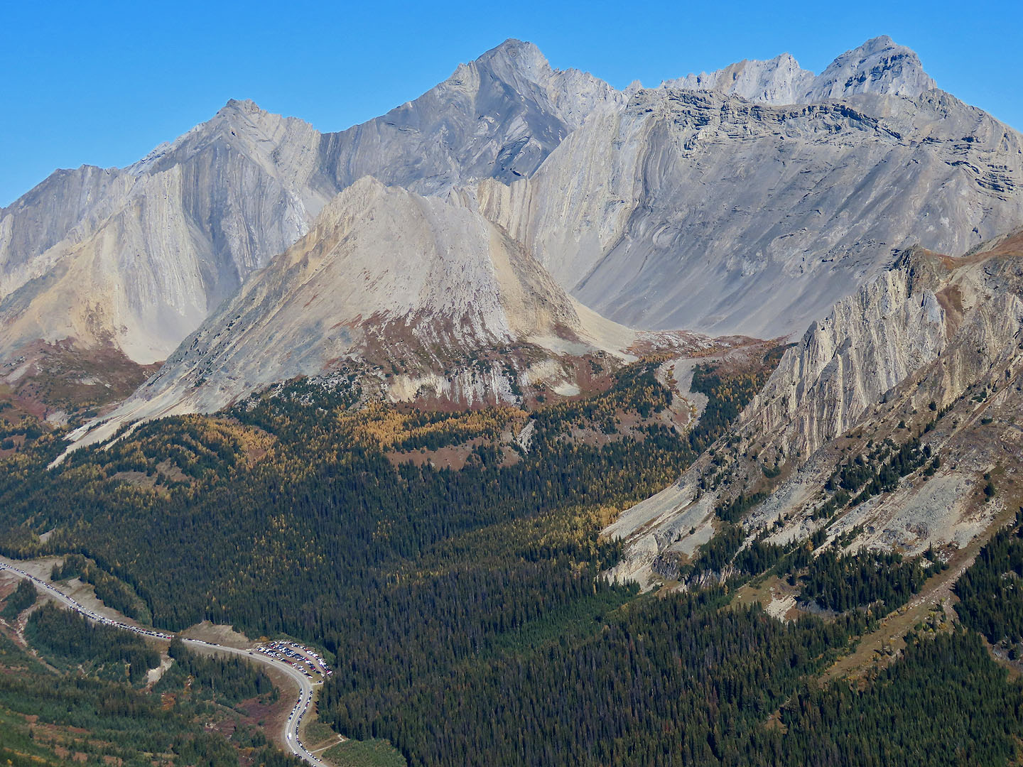
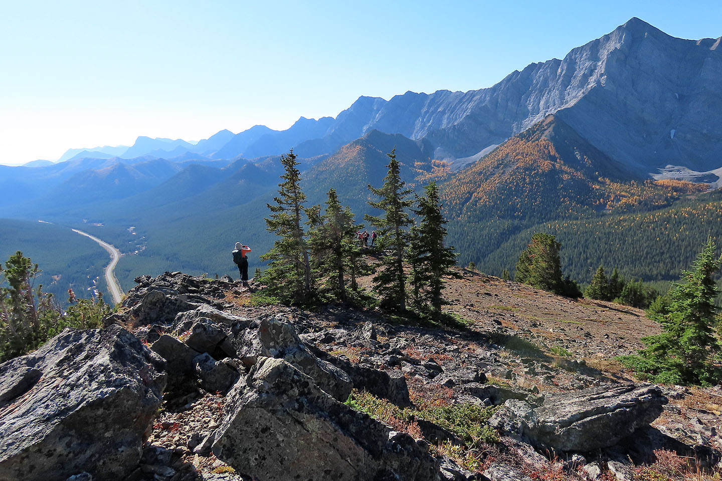
Dozens of cars park at the trailhead and on the highway. Little Arethusa in the centre.
Mount Tyrwhitt, Grizzly Ridge and Highwood Ridge North Peak
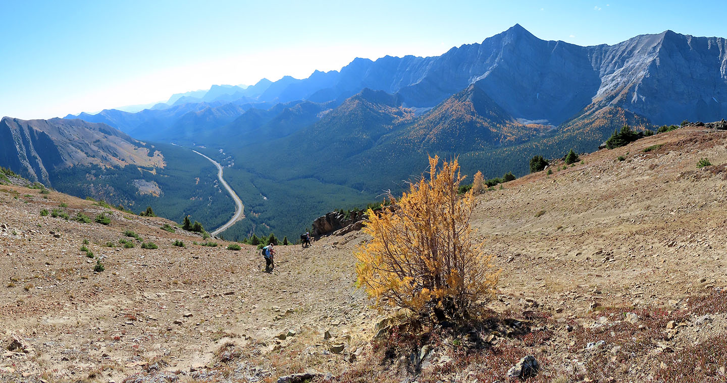
Starting back down. Mount Lipsett left.
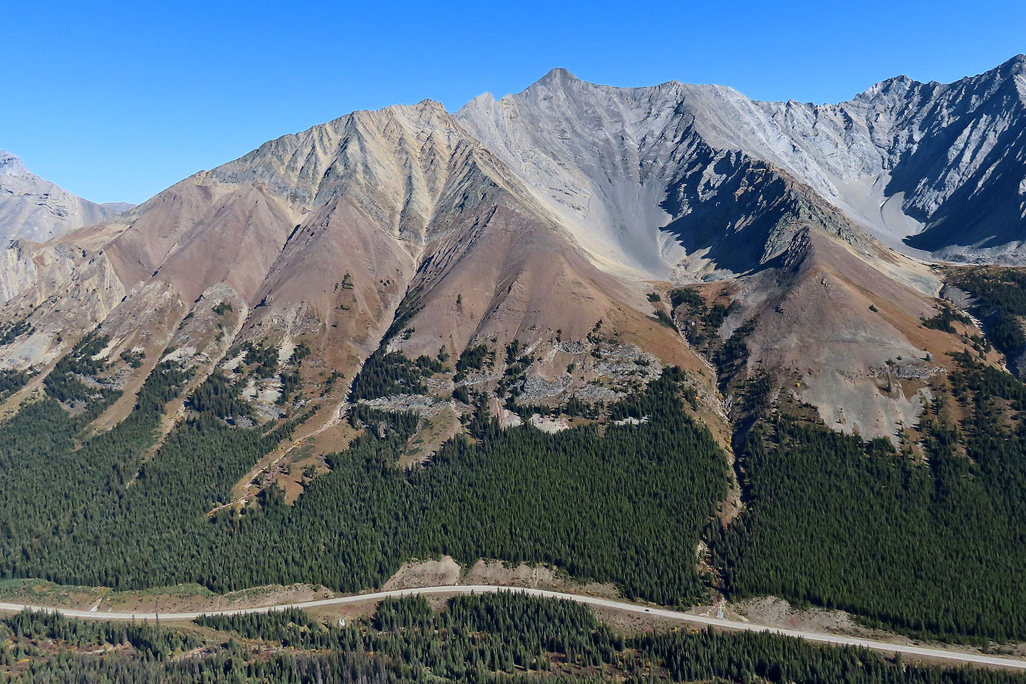
 Looking back at Highwood Ridge, north to south peaks
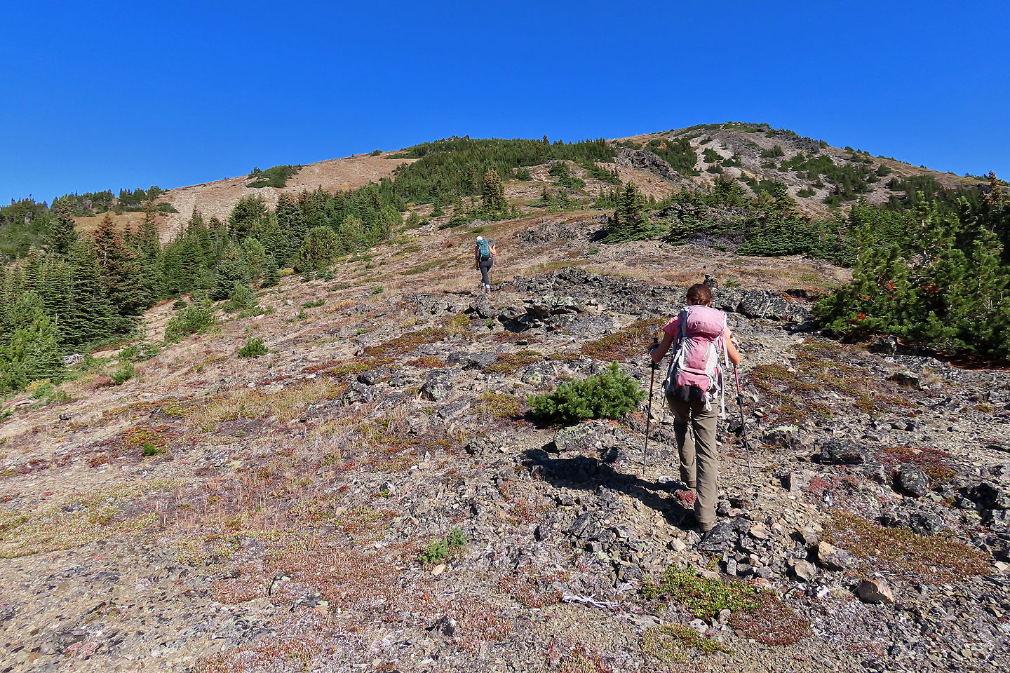
We ascended the ridge on the left but started down the open slope right
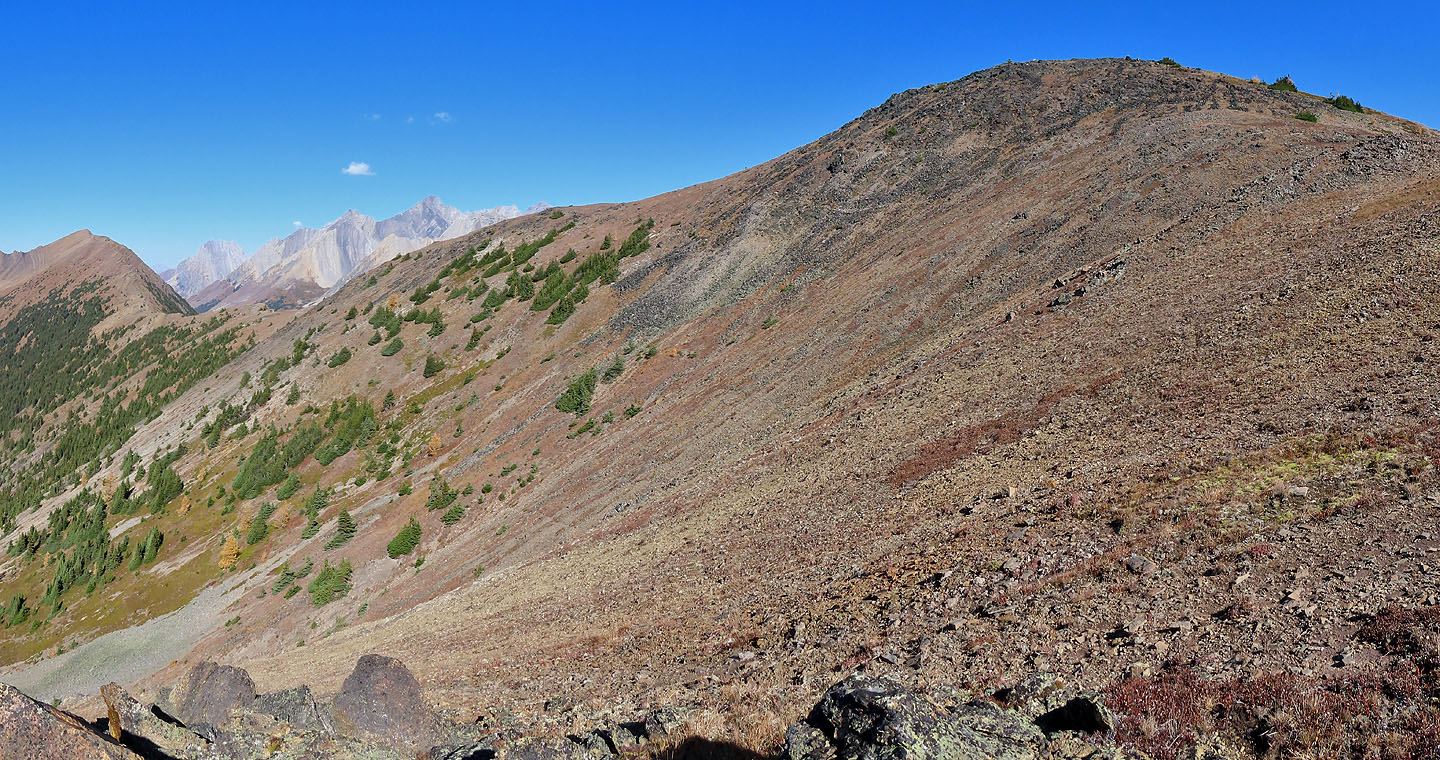
We traversed through the forest back to the ascent ridge
82 J/10 Mount Rae