bobspirko.ca | Home | Canada Trips | US Trips | Hiking | Snowshoeing | MAP | About
Mount Racehorse
Crowsnest Pass, Alberta
June 28, 2014
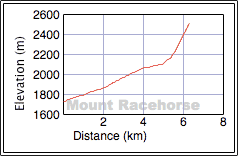
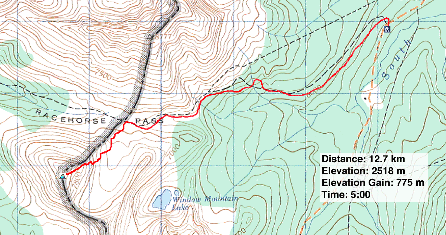
Distance: 12.7 km (7.9 mi)
Cumulative Elevation Gain: 800 m (2625 ft)
Our original objective, Racehorse Peak, came about when I noticed the forecast called for much drier weather south of Calgary rather than in the mountains west. So Dinah, Sonny and I drove to Crowsnest Pass and up Allison Creek Road just past the trailhead for Window Mountain Lake. The base of Racehorse Peak (unofficial name) can be reached from Racehorse Pass.
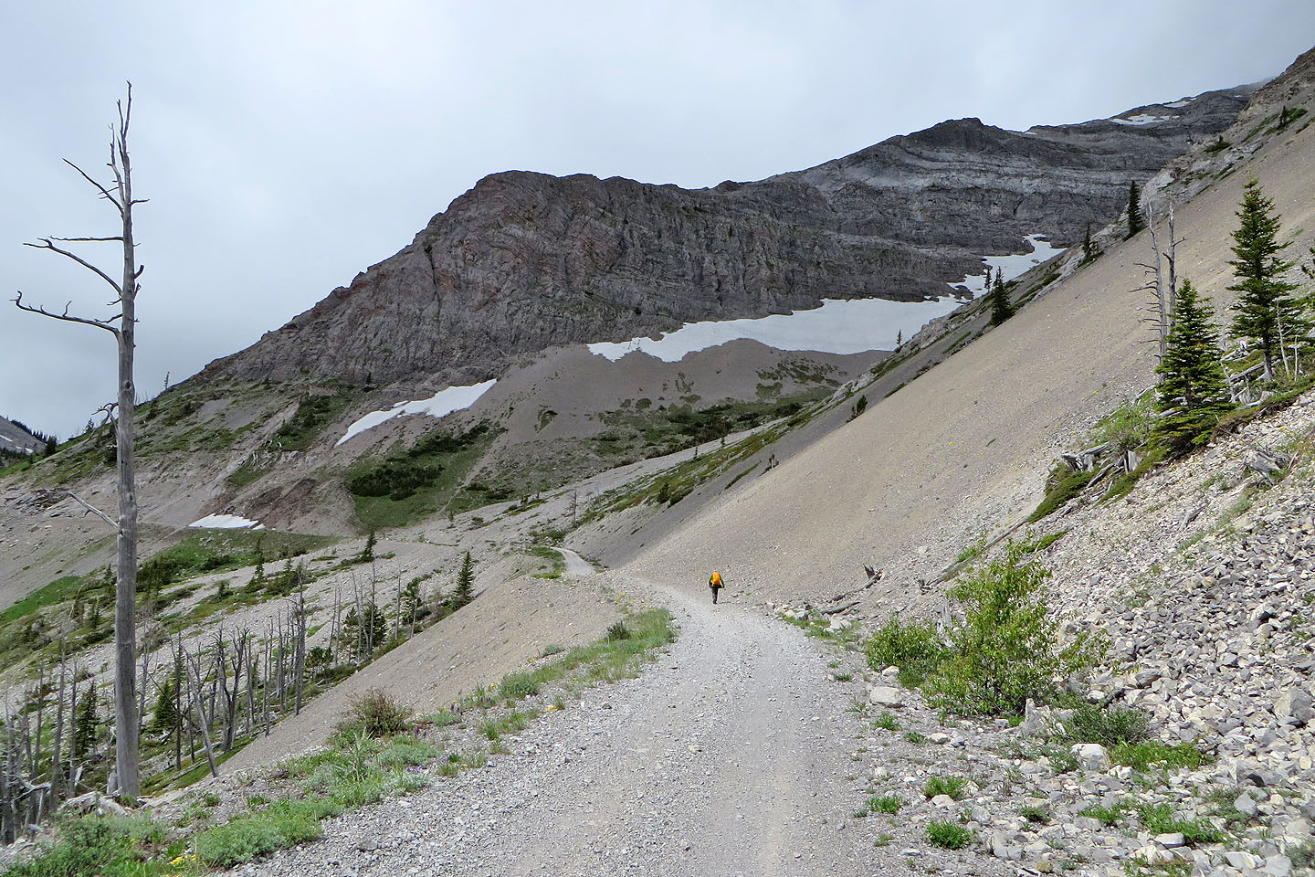
We hiked up the back road leading to Racehorse Pass, although in retrospect Sonny was confident he could have driven up it in his CRV. Even so, I enjoyed the hour-long walk to the pass. On the north side of the pass, however, we were greeted with a cloud-covered Racehorse Peak. Summiting in clouds, not to mention routefinding in near white-out conditions, appealed to none of us. If there were cliff bands, we wanted to see them before we bumped into them. So we turned our attention south where we could see our way to the top of a lesser, unnamed peak which we dubbed “Mount Racehorse.” Being a mere 100 m lower than Racehorse Peak (and higher than nearby Mount Ward) it would still be a good workout.
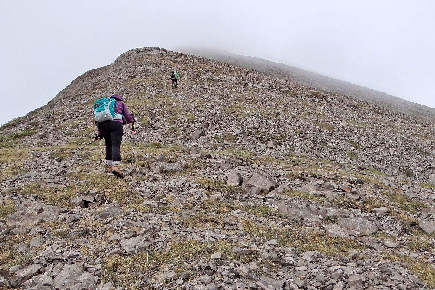
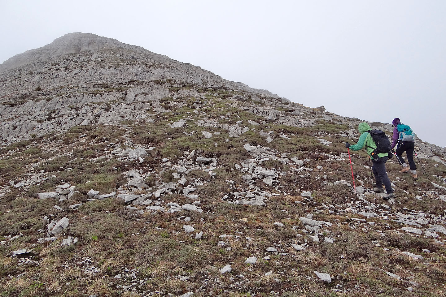
From the pass, we bushwhacked through a short stretch of trees before ascending the rubbly northeast slopes of Mount Racehorse. A couple of short cliff bands made it more interesting than a mere trudge up loose rock. As we climbed, the rock gave way to a pleasant, grassy ridge. The summit itself was topped by more rock.
We were betting, of course, that the clouds wouldn't lift on Racehorse Peak. They didn't. Instead they dropped lower, and our new, lower objective wasn't spared. We reached the top of Mount Racehorse in a gloomy mist that blocked all scenery beyond a couple dozen metres. Making matters more disagreeable, it began raining soon after we started up the mountain. And it rained off and on for the rest of our trip, all the way back to our car.
Although we didn't climb Racehorse Peak – we returned another day – I thought we salvaged the day by climbing Mount Racehorse. Despite the lack of views, the three of us had a good time.
KML and GPX Tracks
Sonny's Trip Report
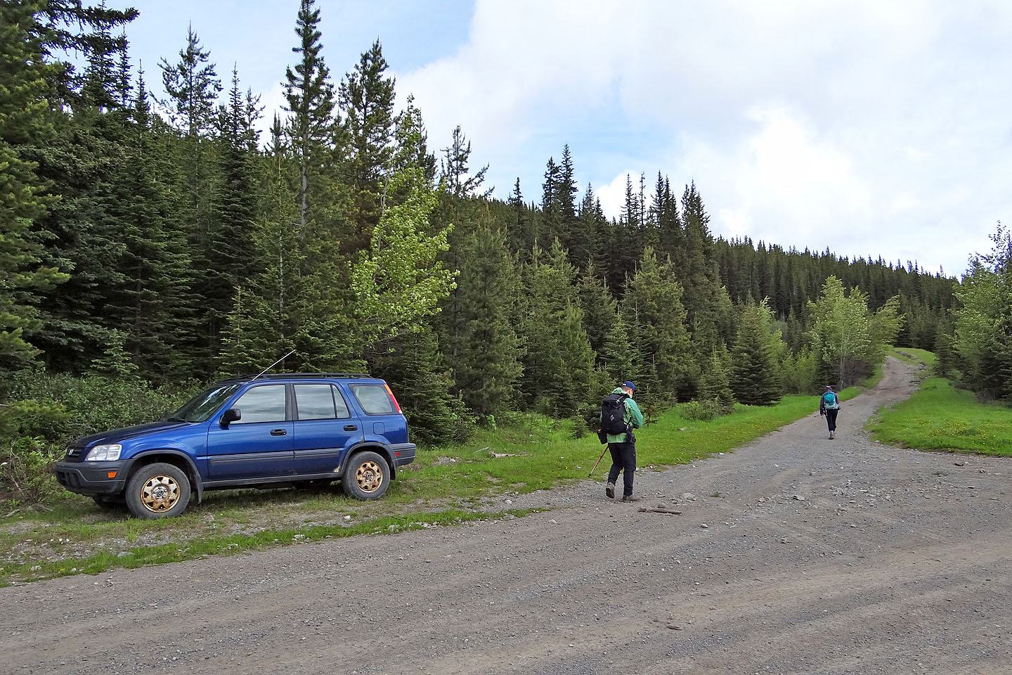
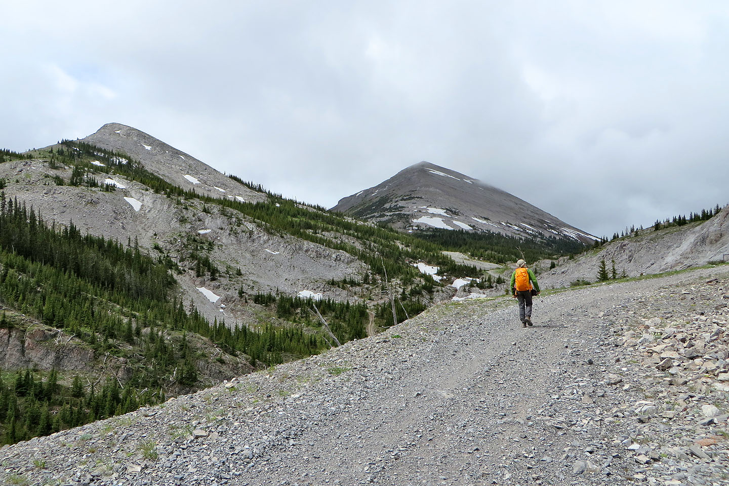
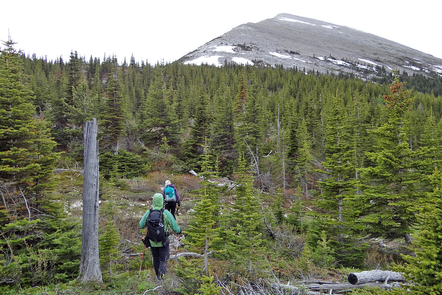
Starting up the road to Racehorse Pass
 The south ridge of Racehorse Peak appears ahead

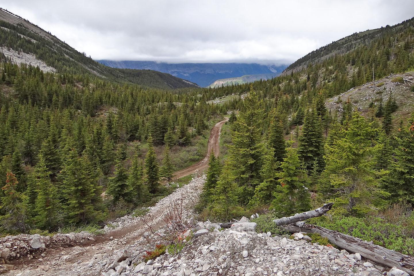
The road winds through the pass
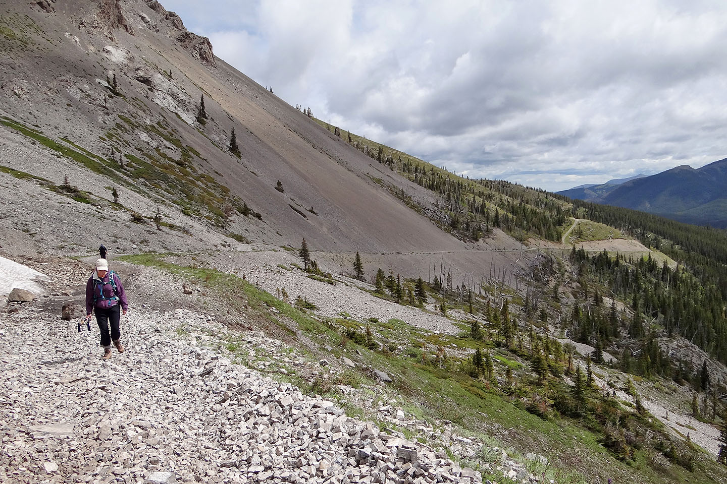
Looking back along the road
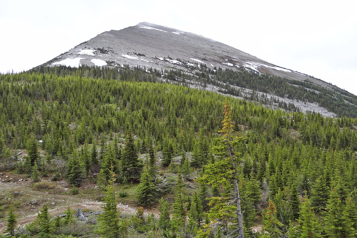
Mount Racehorse ahead
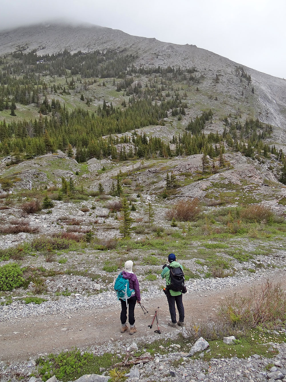
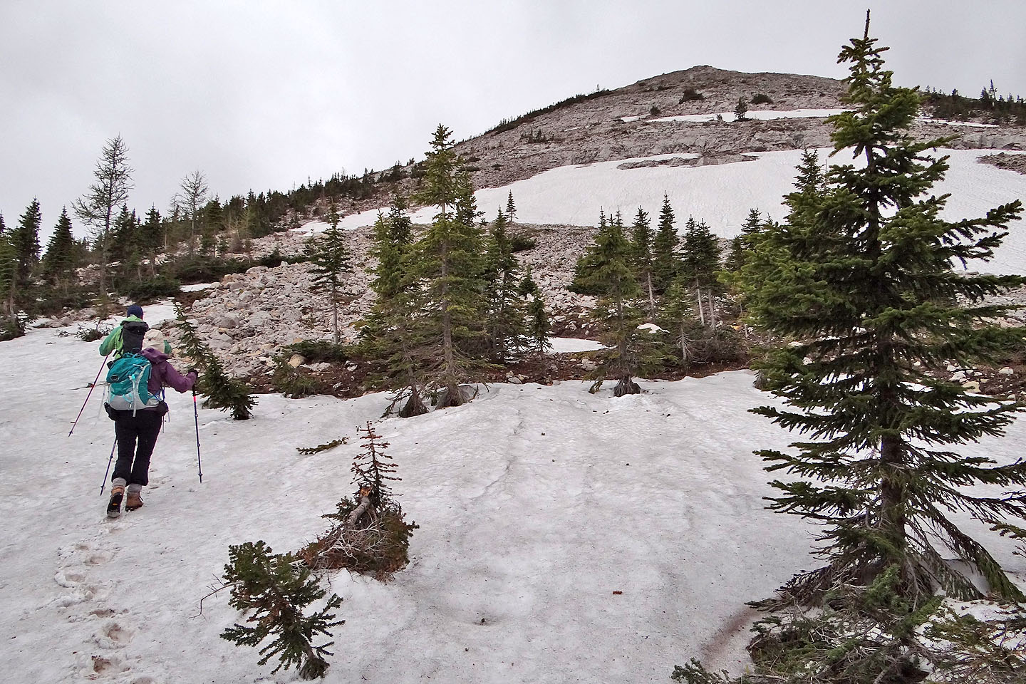
From the pass, only the lower half of Racehorse Peak was visible
The view west from the pass showed overcast skies
Mount Racehorse from the pass
We bushwhacked to the base of the mountain
Out of the trees and on the lower slopes
Much of Racehorse Peak remained hidden under a low cloud throughout our trip
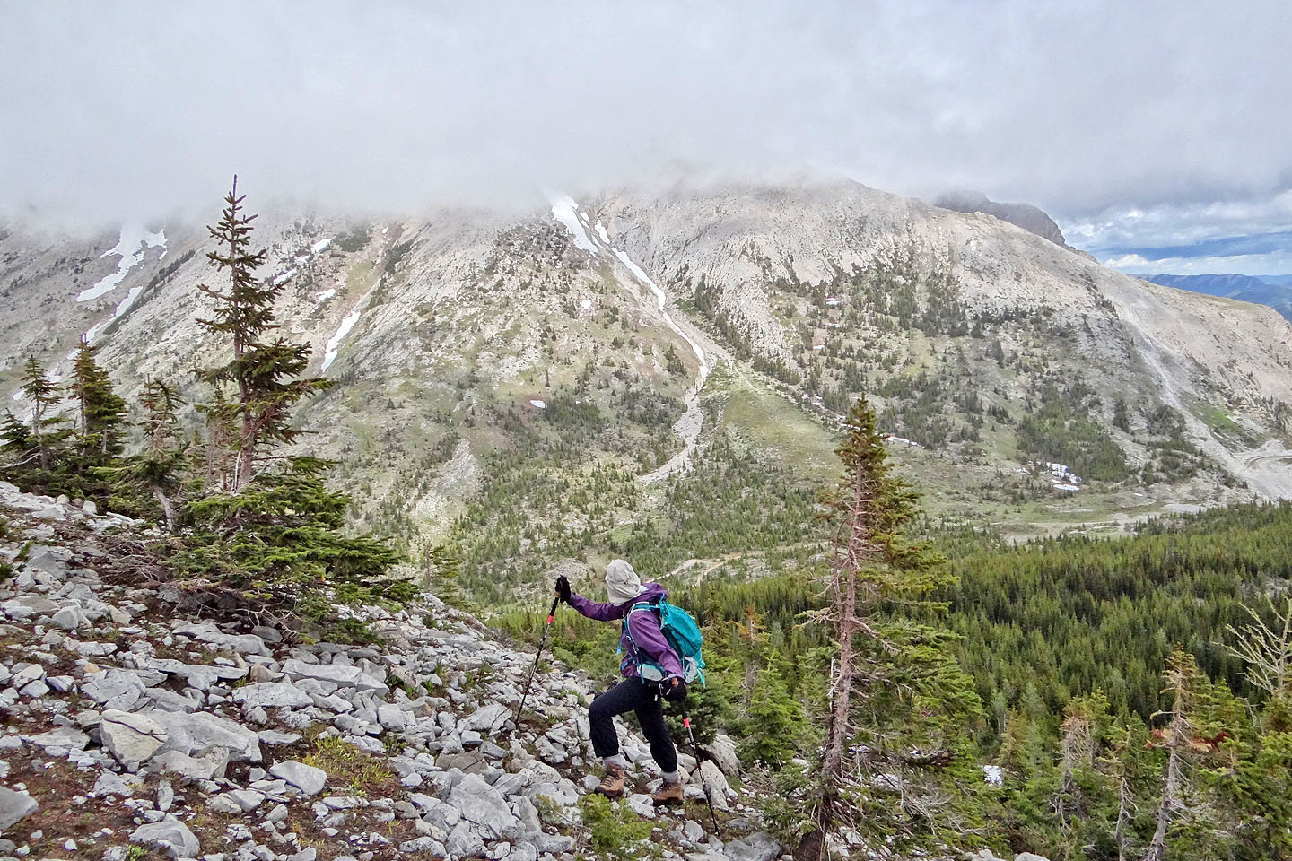
Looking back at Racehorse Pass. Thunder Mountain in the background (mouse over).
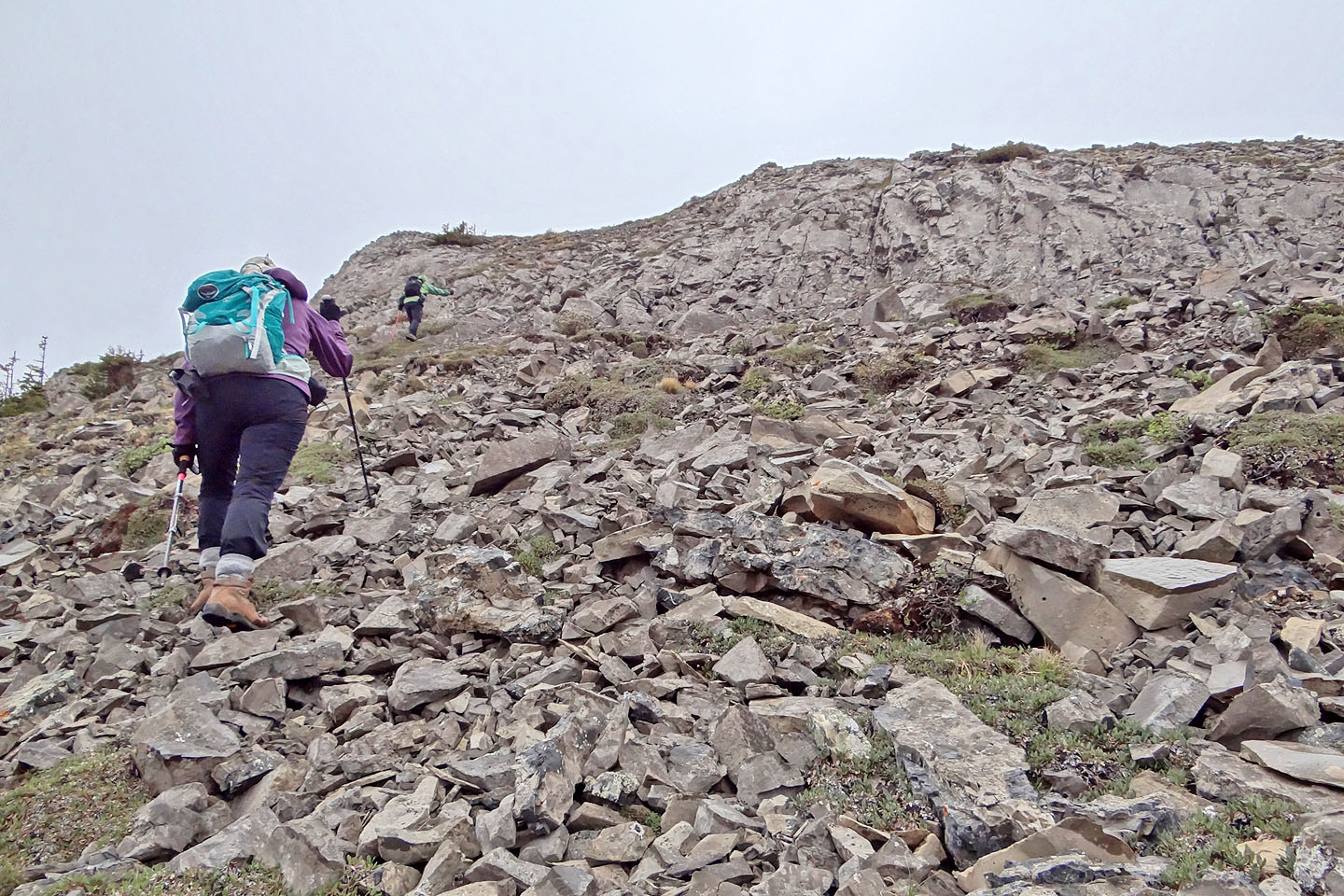
Coming up to a minor cliff band

Racehorse Peak has disappeared into the mist
The summit is hidden in clouds
Nearing the summit
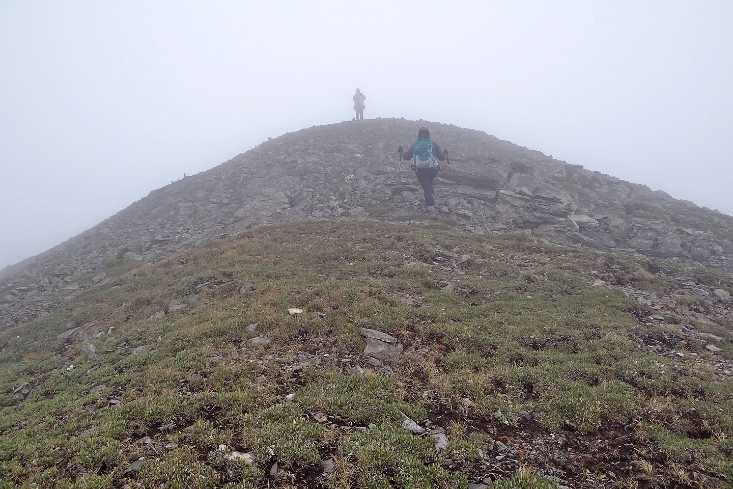
Sonny waits for us on top of Mount Racehorse
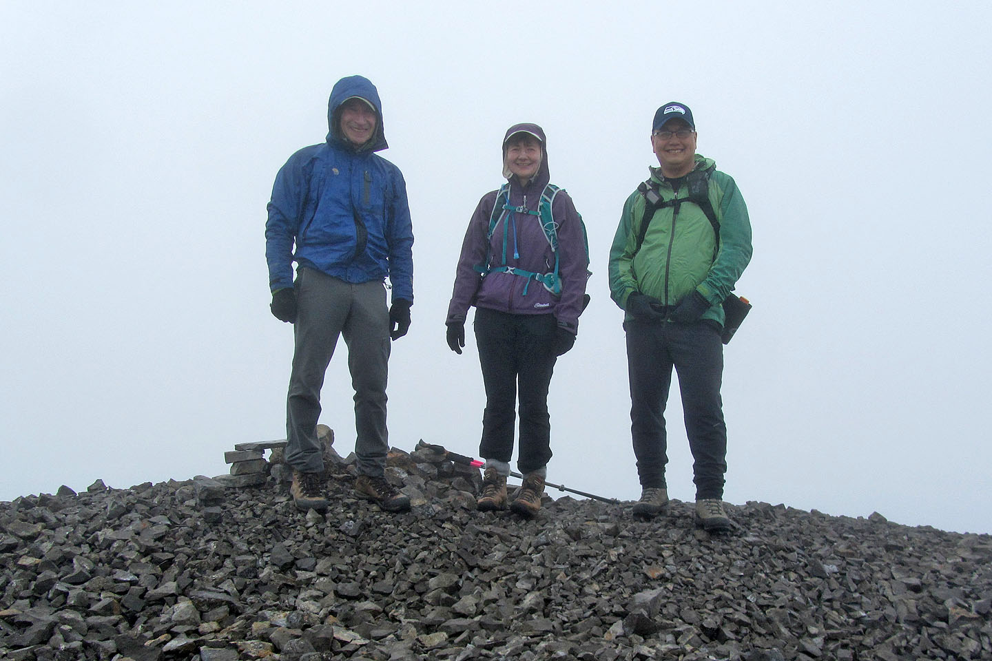
Posing on the summit
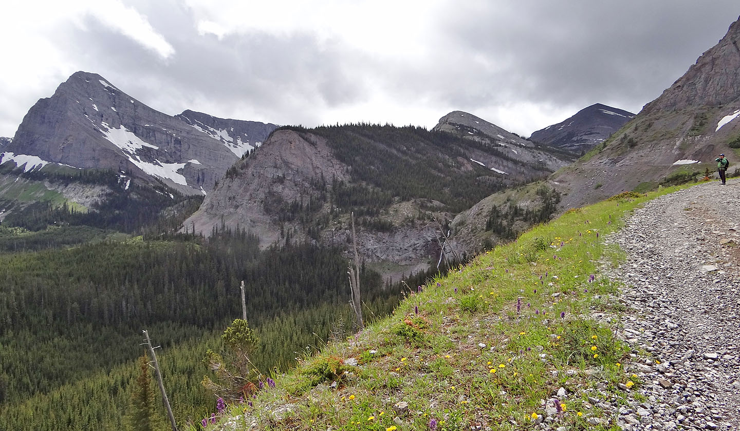
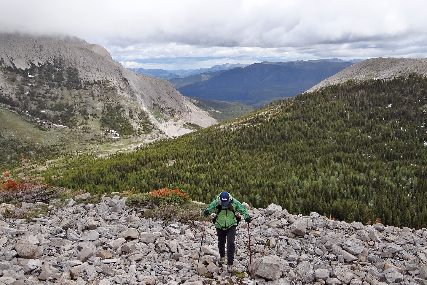
On the road again, looking back at Mount Racehorse on the right. Mount Ward is on the left.
G/15 Tornado Mountain