bobspirko.ca | Home | Canada Trips | US Trips | Hiking | Snowshoeing | MAP | About
Loop Ridge
Crowsnest Pass, Alberta
June 7, 2014
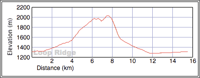
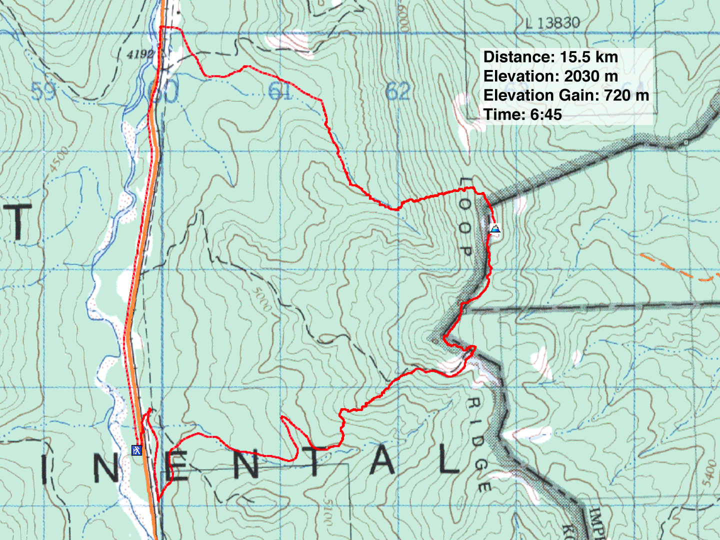
Distance: 15.5 km (9.6 mi)
Cumulative Elevation Gain: 820 m (2690 ft)
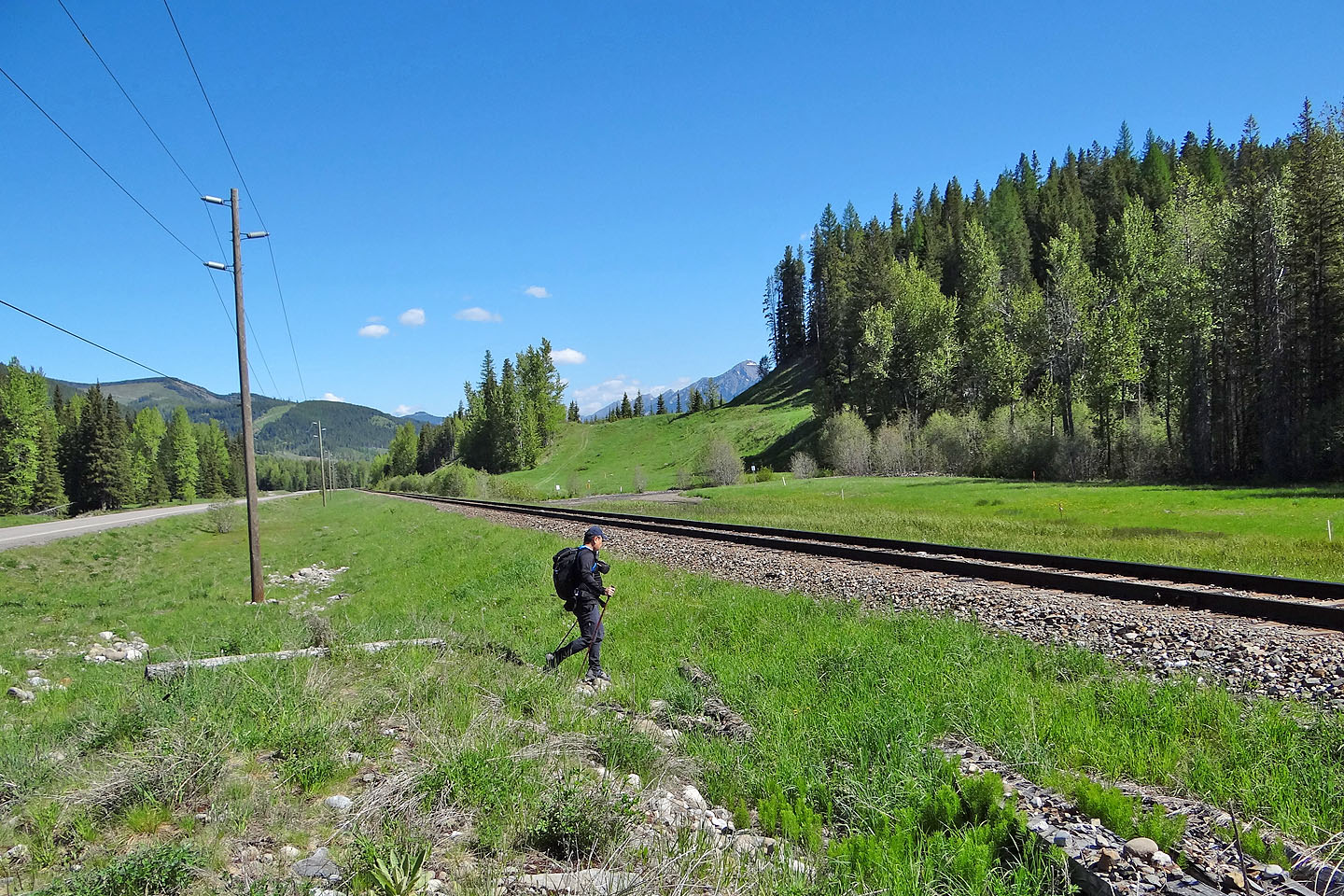
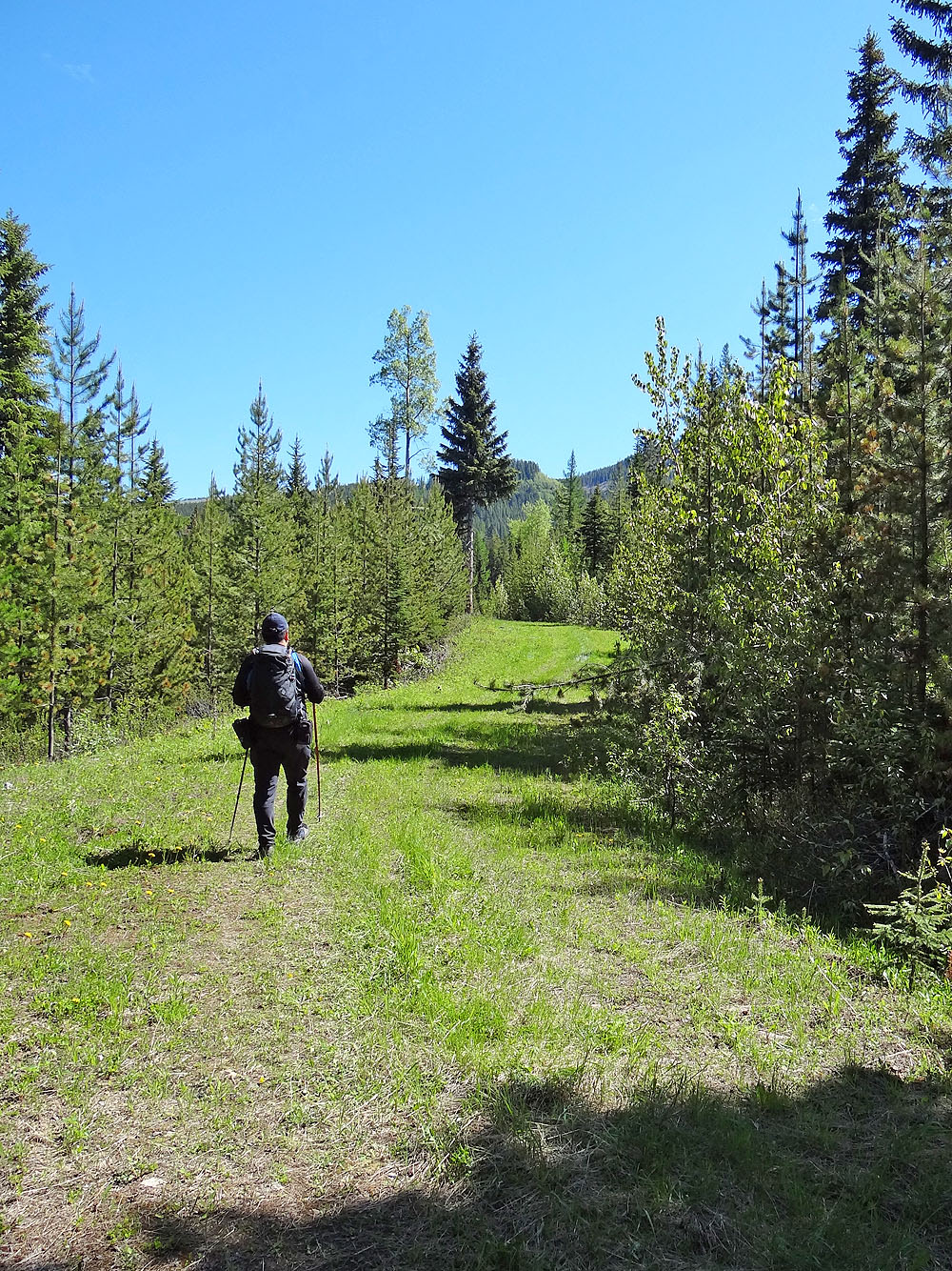
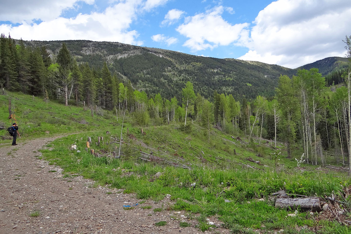
After hiking up Tent Mountain recently, Sonny and I returned to Crowsnest Pass to climb Loop Ridge. With a couple of logging roads to assist us, ascending this peak looked like a snap. We were able to find a place to park on Corbin Road not far from the access road we wanted to get on, and after a bit of searching, we were on the right logging road and on track.
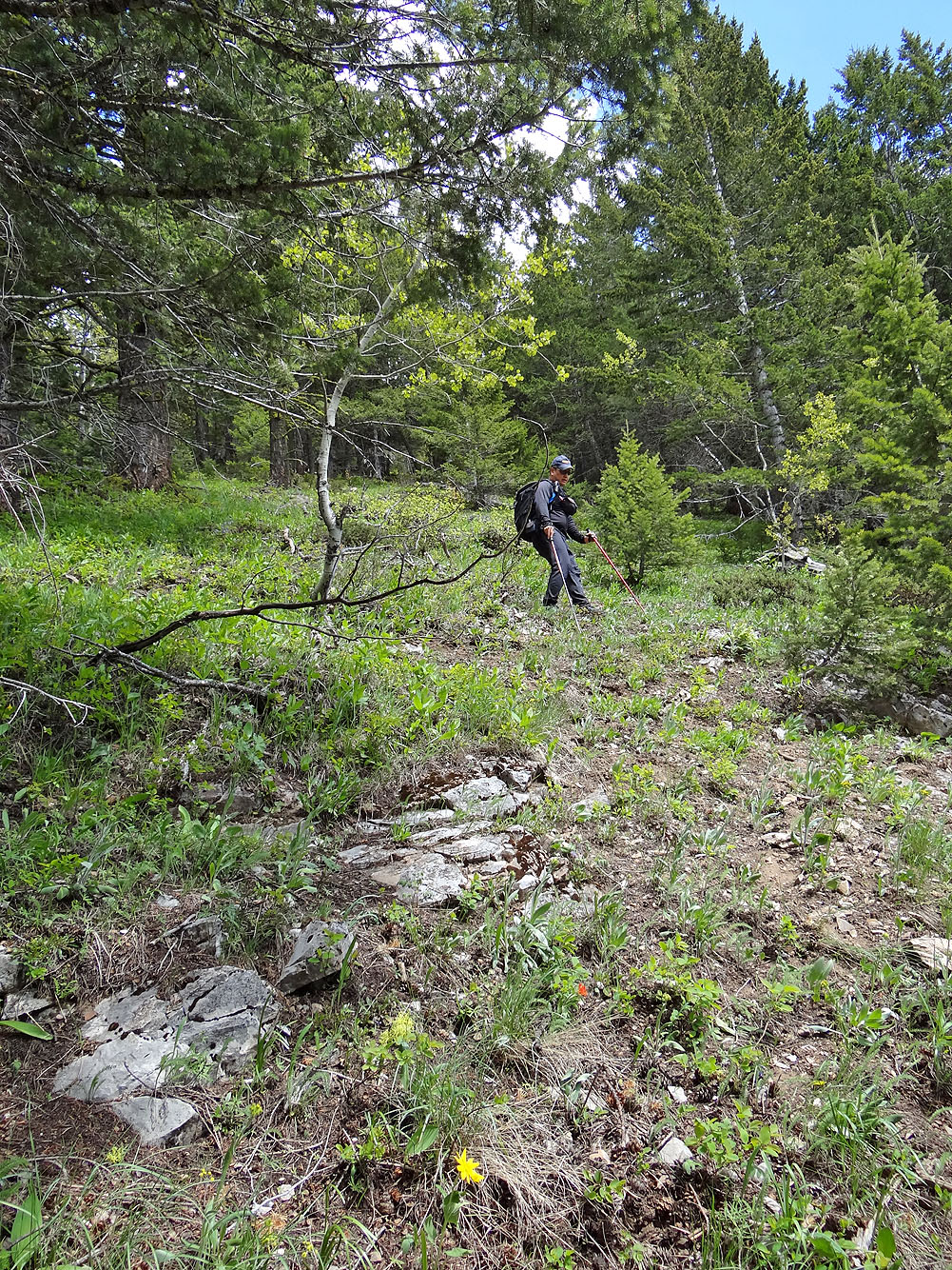
I expected the road to reach a large clearing; at least it looked that way on Google Earth. Instead we encountered a clearcut with new growth. We left the road and worked our way up through young pines to a treed ridge. We didn't have to bushwhack very far, however. As expected, we came to a second road (the map shows this road running to Corbin Road, but on Google Earth, the lower half appears to be missing). This road runs to the crest of Loop Ridge, and incidentally, to the Continental Divide. Even though the upper road was mostly open to the sky, the views to the south were rather mundane. From the road, the summit lay over a kilometre away to the north. Getting there wasn't difficult, but being in the trees, there was little to see.
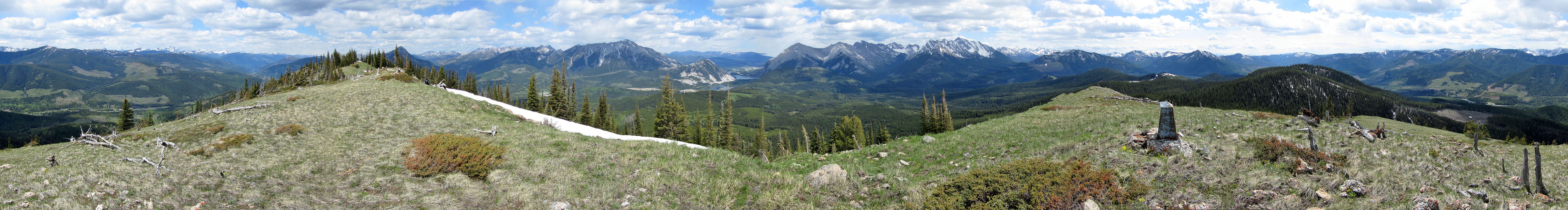
What enthusiasm we had when we started was sucked out of us by the uninspiring ascent. We ambled to the bare summit with more apathy than excitement. However, it was a nice day, and we had good views of the peaks to the east. But we were intrigued by what we saw in the west. In a valley far below, a logging road appeared to run to Corbin Road. We didn’t know what to expect in the wooded stretch between us and the dirt road, but it couldn’t be worse than going back the same way. So filled with a new purpose, we plunged down the uncertain mountainside.
Fortunately there was virtually no bushwhacking on the steep slope, and we quickly descended. But our luck ran out when we bottomed out at a creek. Here a tangle of fallen trees conspired to trip us. But we ploughed through the extensive deadfall and reached the logging road. At the end of the road, we faced a 3.5 km walk along Corbin Road to our car.
KML and GPX Tracks
Sonny's Trip Report
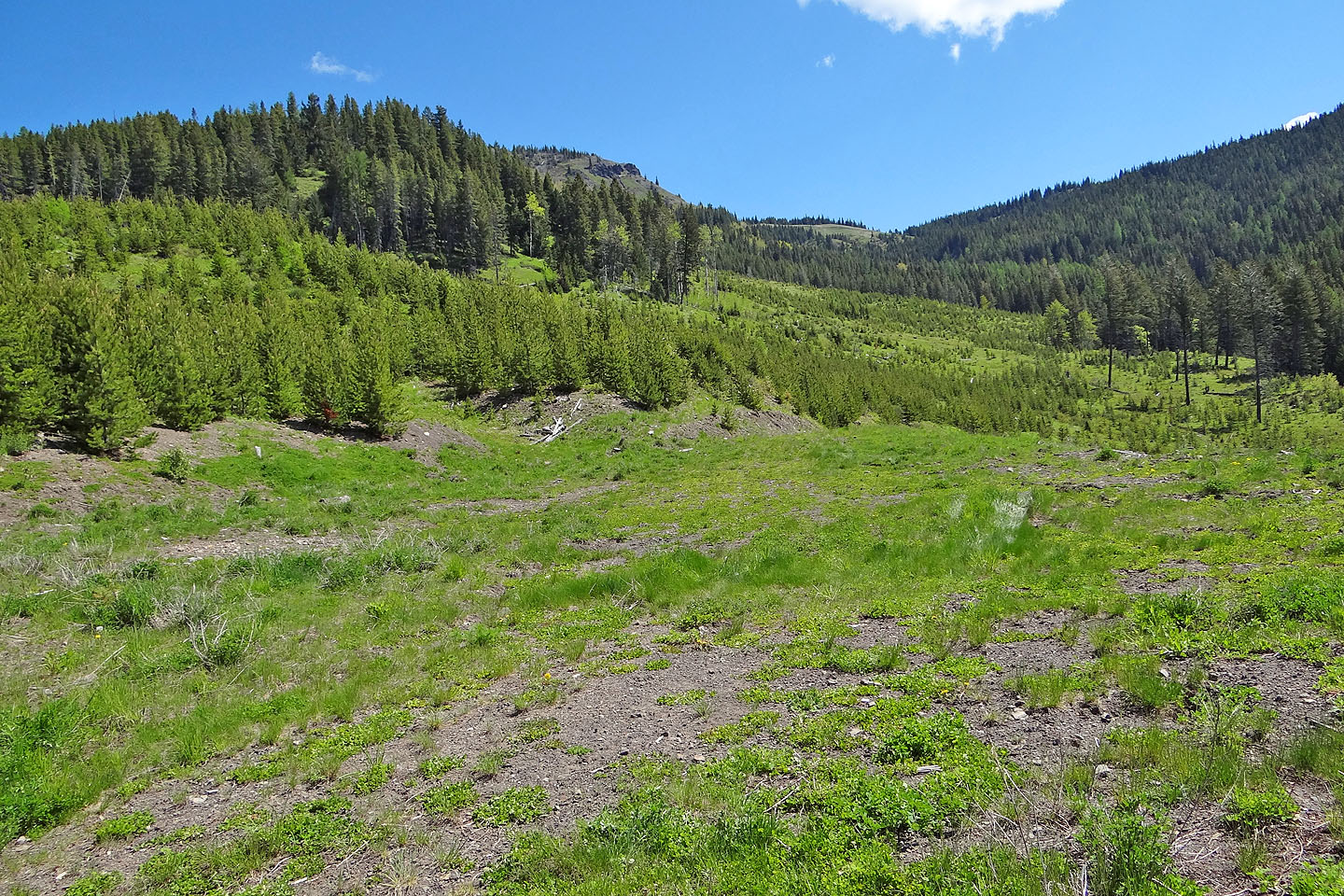
From our car we headed to a conspicuous grassy slope
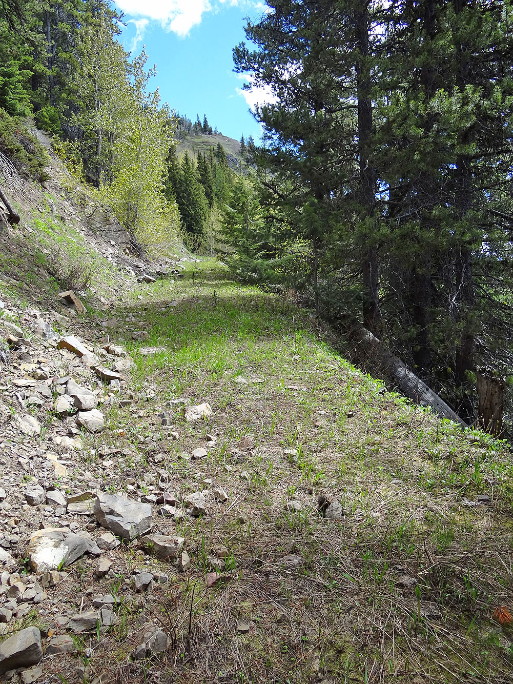
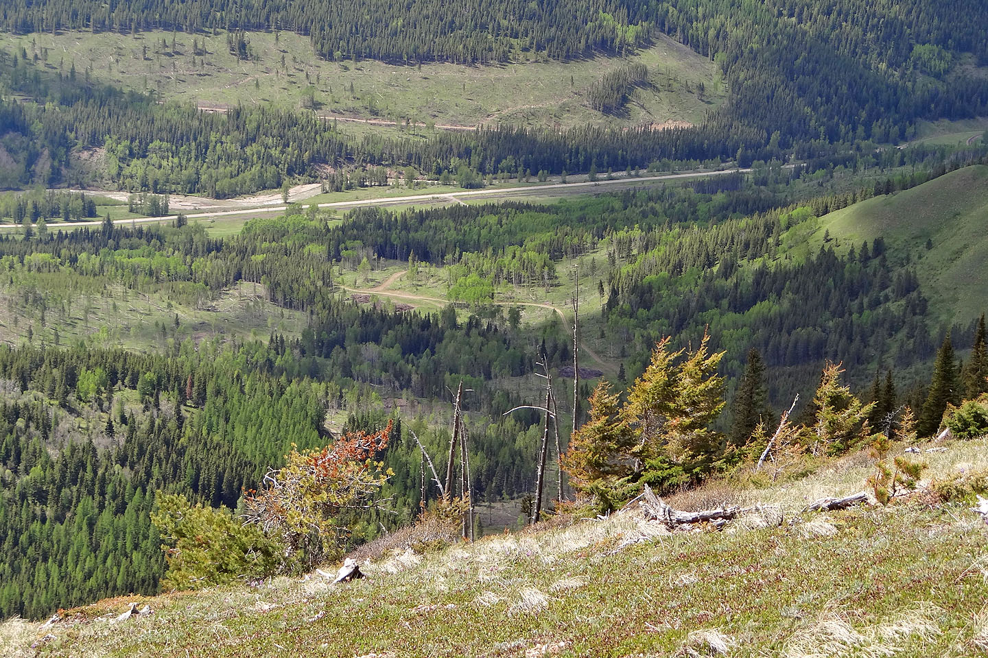
On the lower road
We left the lower road and ascended the ridge on the left where we found the upper road
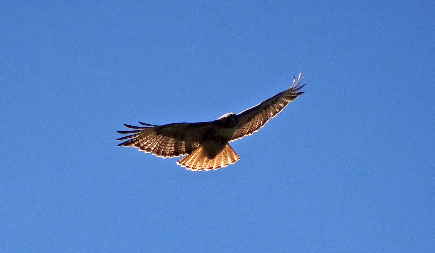
A hawk flies overhead
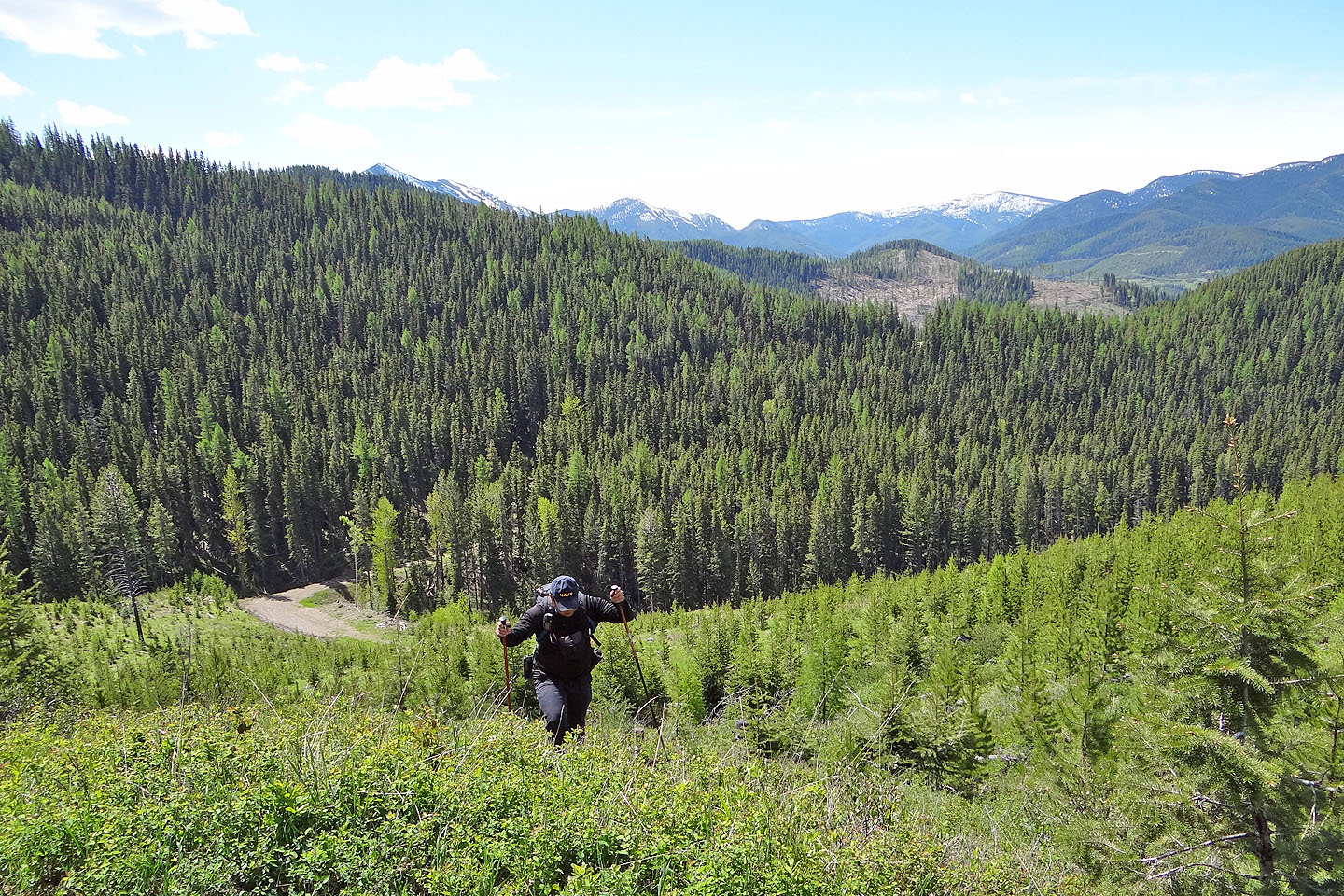
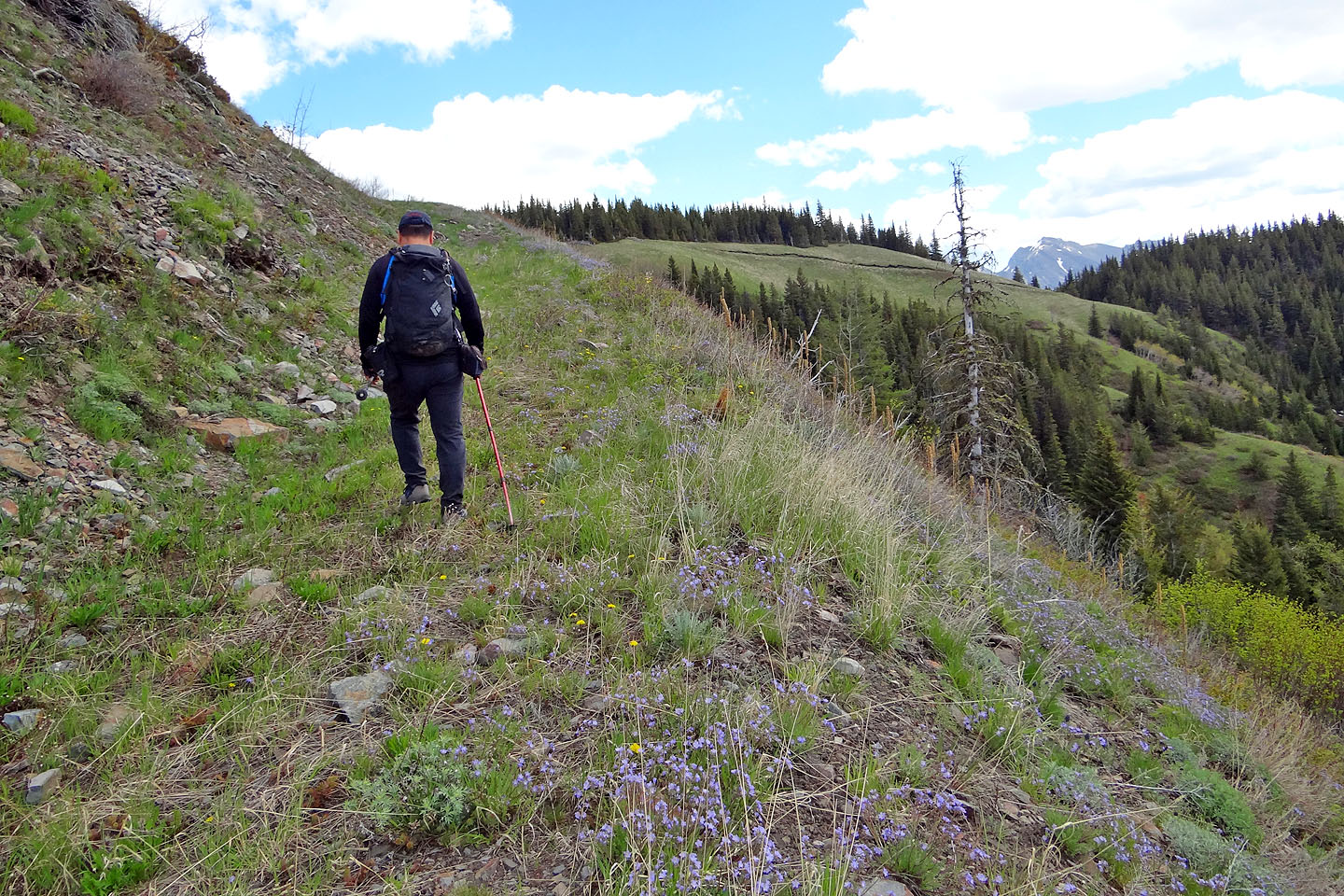
Grinding up the slope
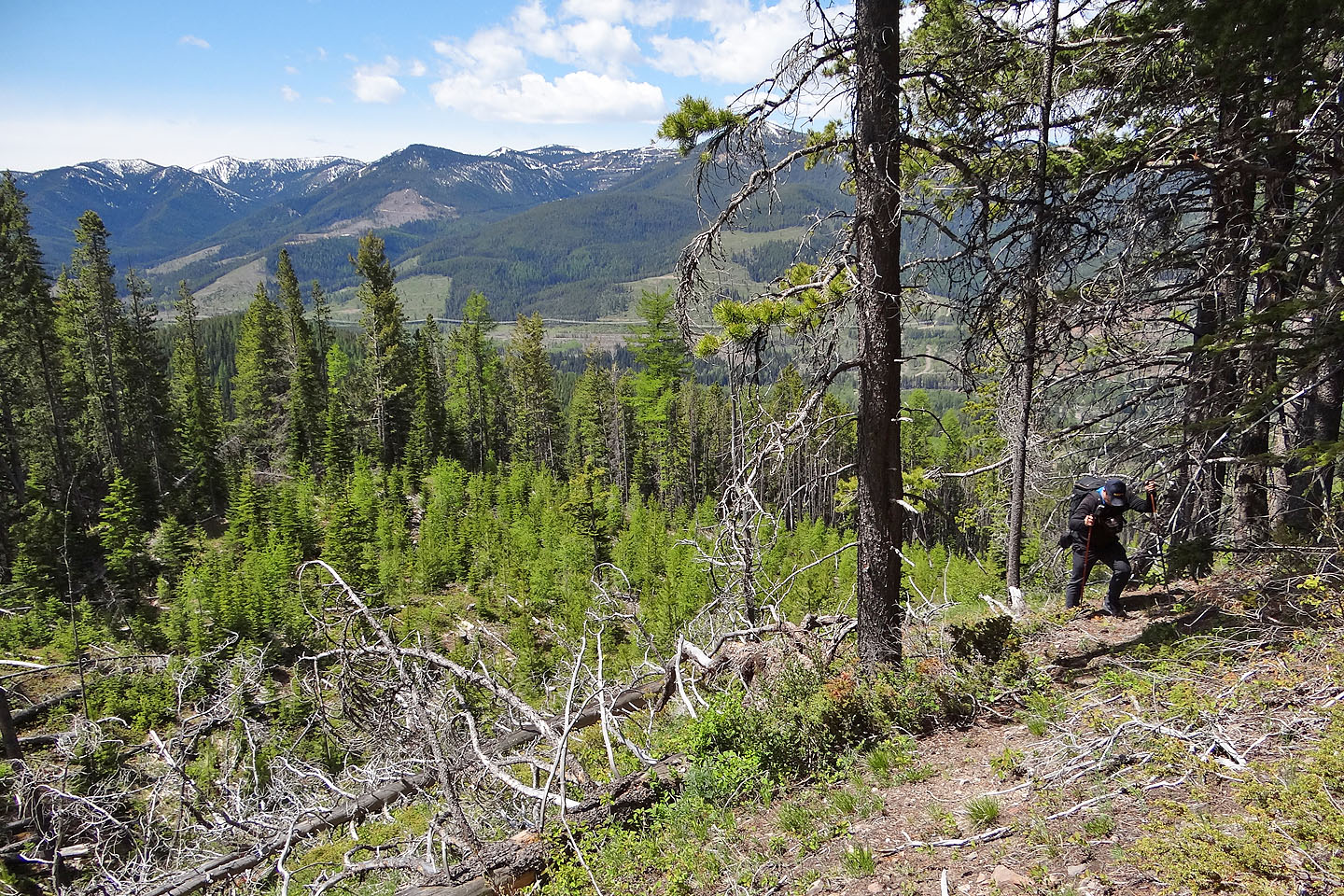
We're well up the ridge
The upper road
Around the corner we'll leave the road and start up the summit ridge
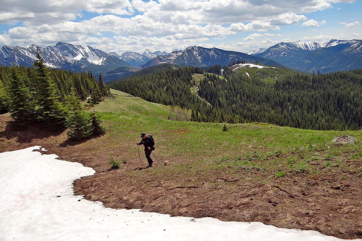
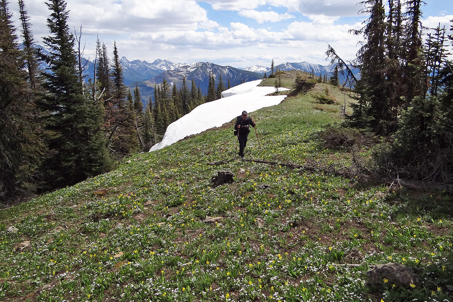
On the ridge
Lingering snow on the ridge
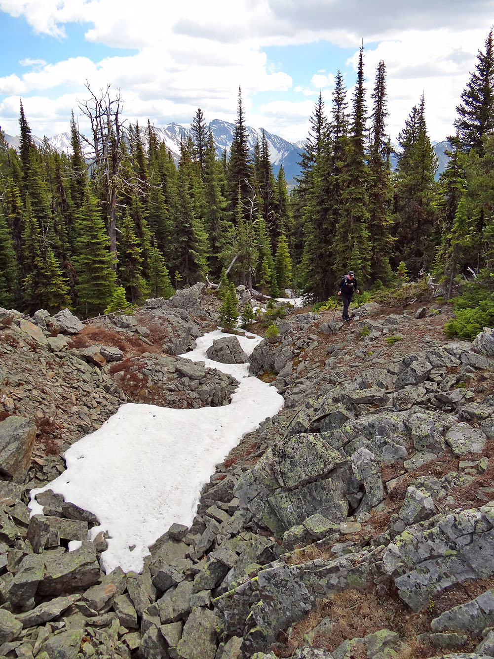
After bushwhacking up the ridge we came across a rift
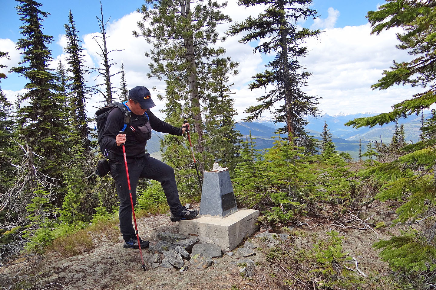
Immediately after the rift, we found a weathered marker displaying
British Columbia on one side and Alberta on the other (mouse over)
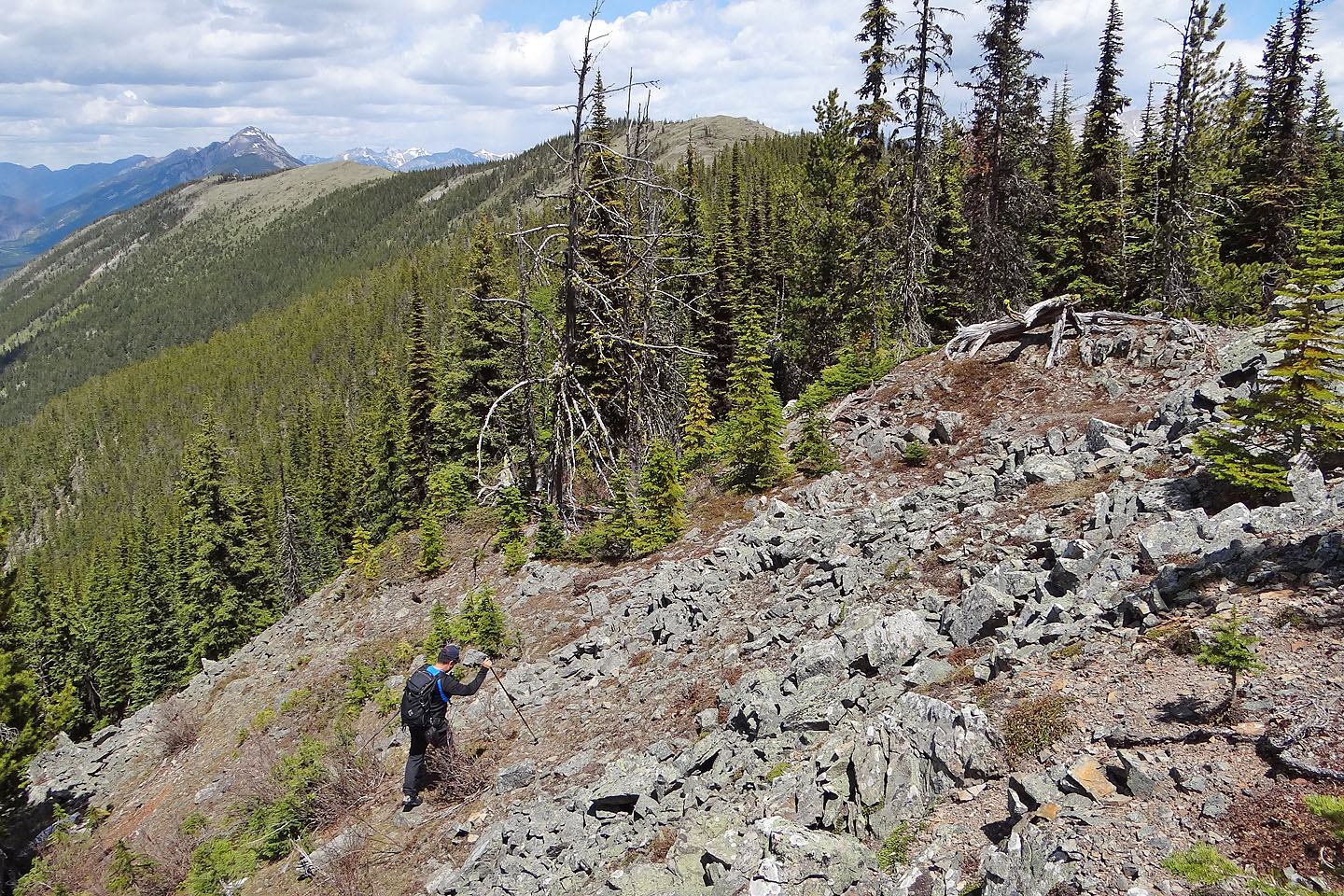
The summit lies ahead
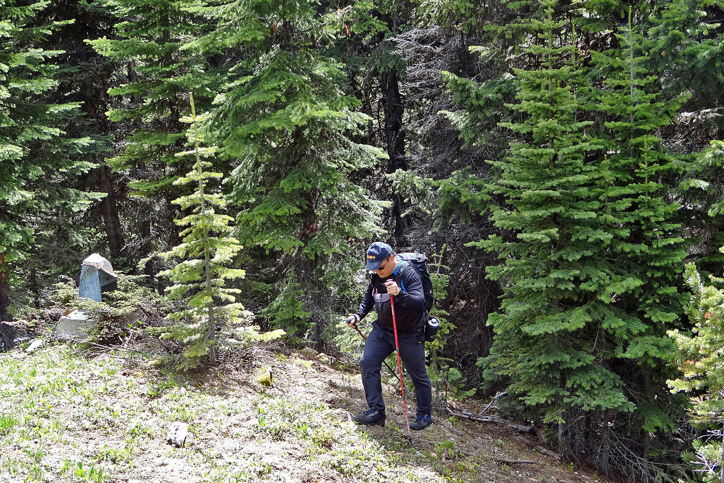
After threading through trees, we came across another marker in a clearing
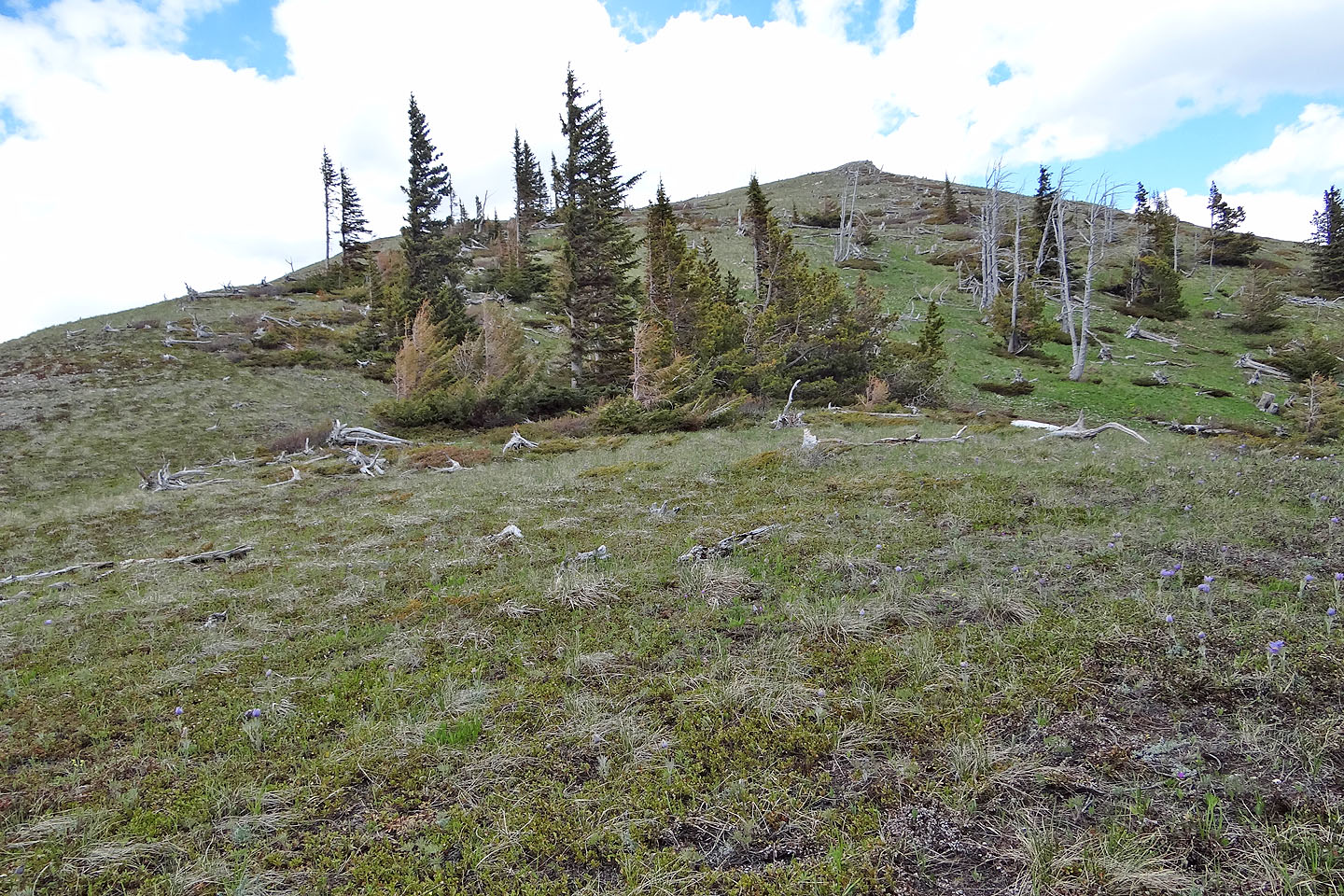
Finally we break out of the trees and close in on the summit
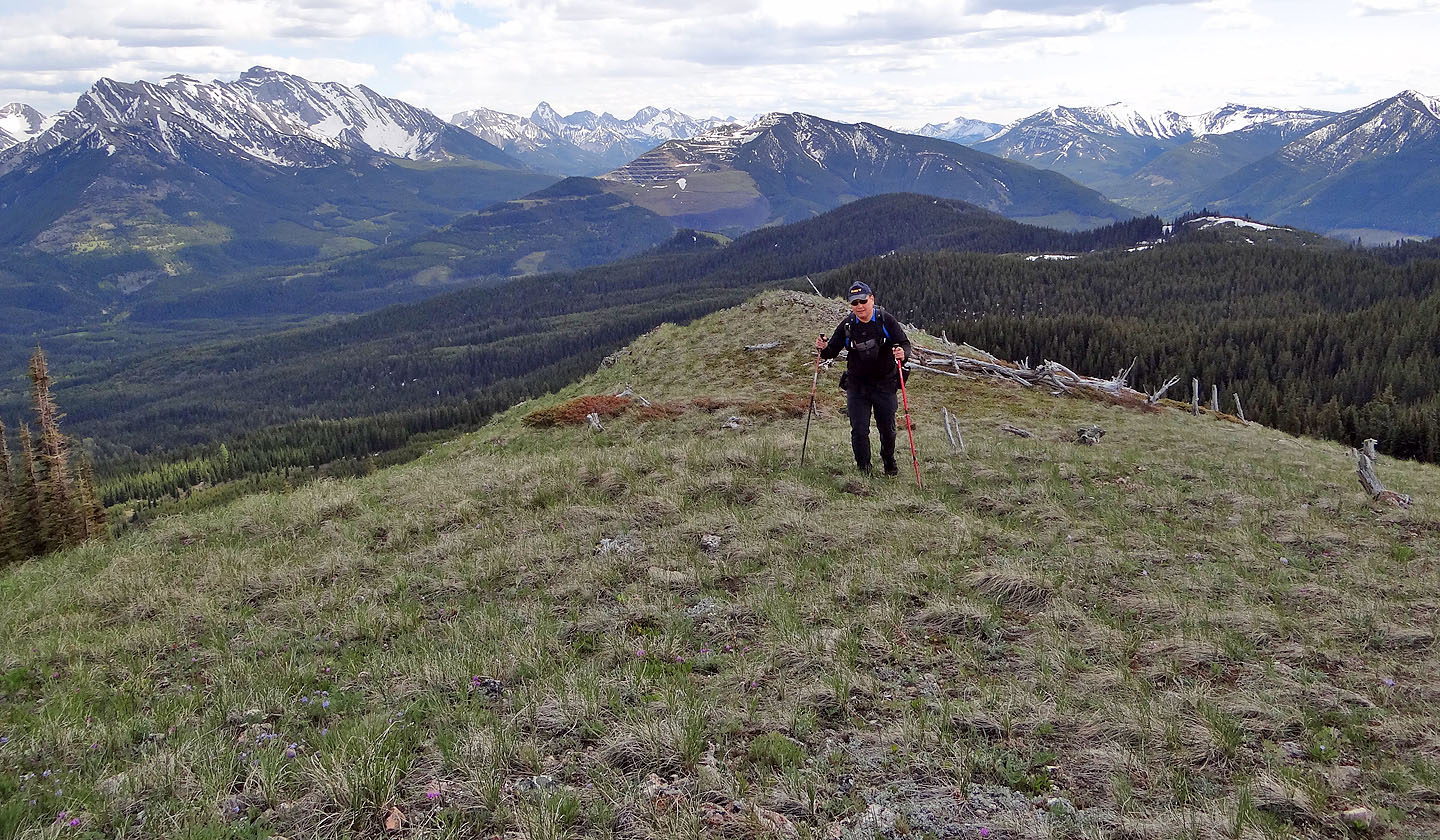
Sonny heads to the summit. Behind him is Tent Mountain (mouse over)

On the summit posing by a marker "No. 41.F British Columbia"
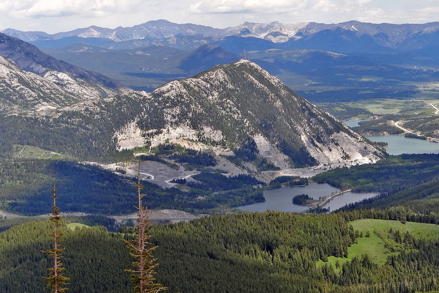
Crowsnest Ridge rises above Island Lake
We made our way down to the logging road below that leads back to Corbin Road
We continued along the ridge a short way before starting our descent
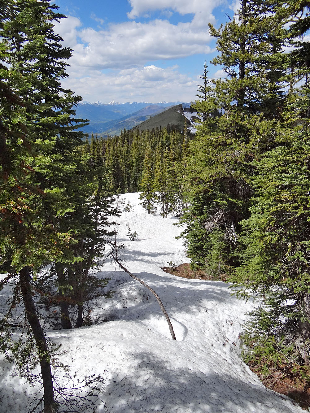
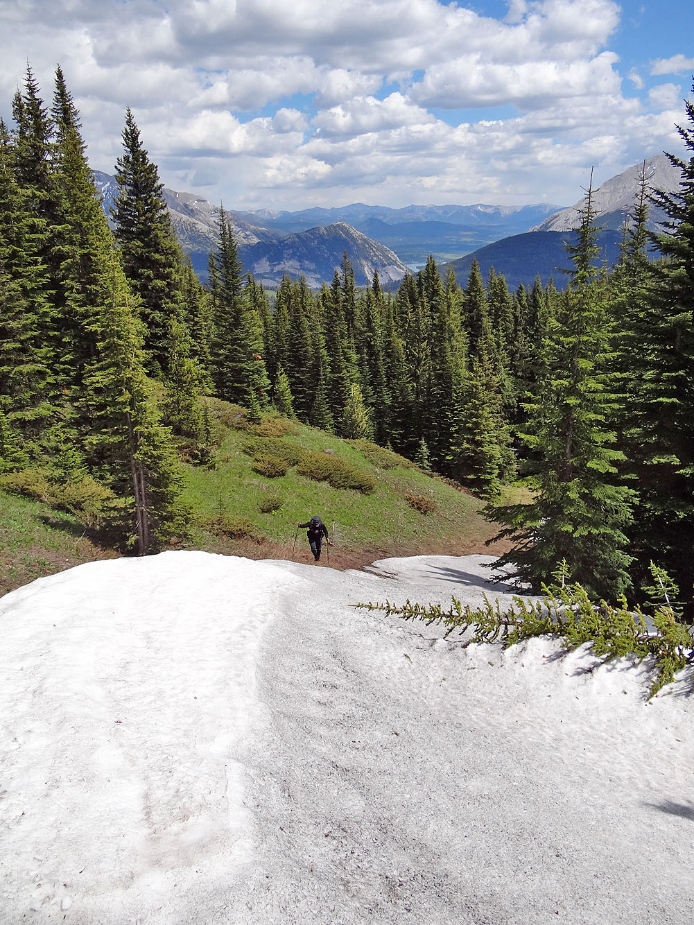
Plenty of deep snow along the ridge
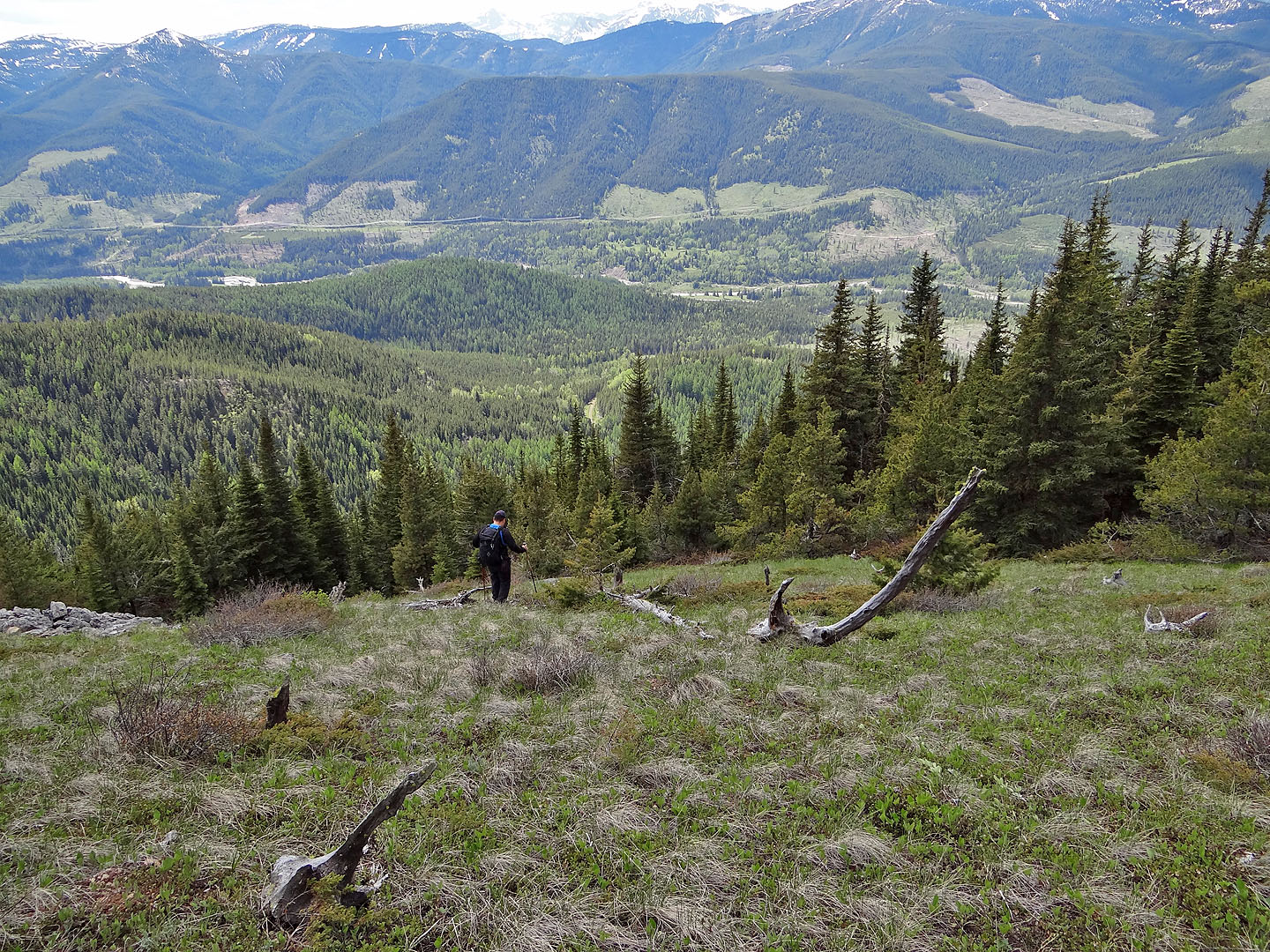
Starting down the slope
The descent slope was full of small glades
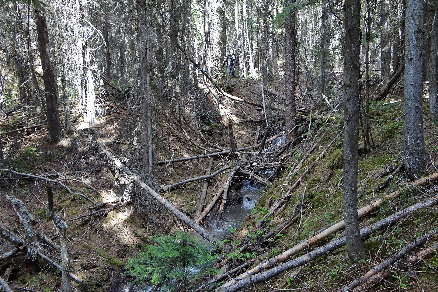
Following the creek as best we could. Sonny is barely visible in the upper centre.
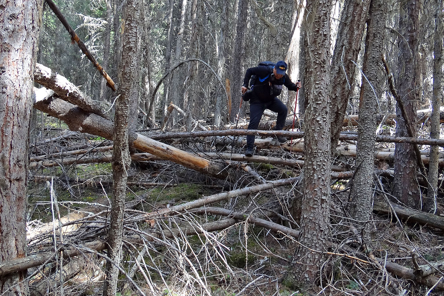
Challenging deadfall along the creek
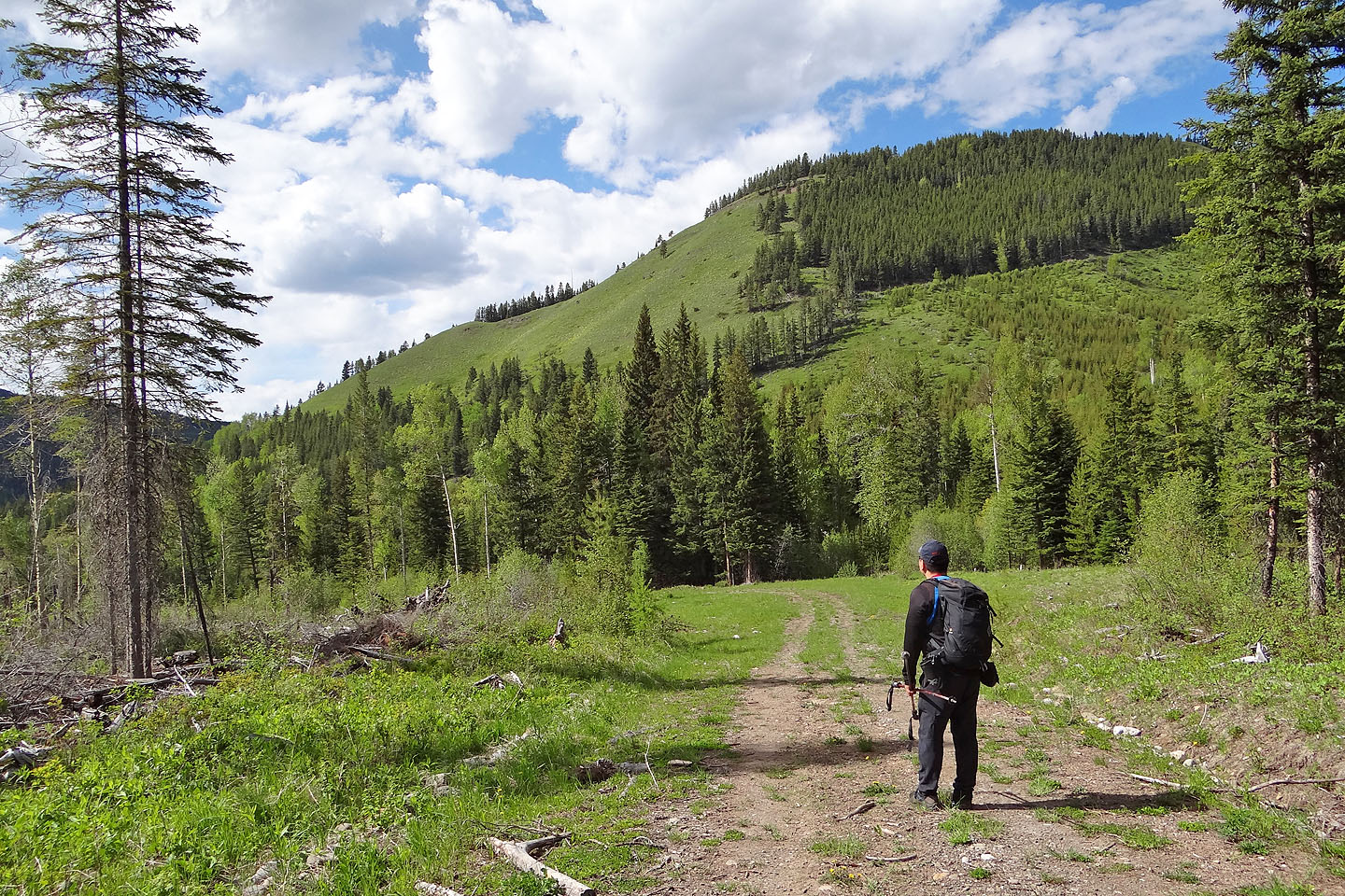
The logging road led back to Corbin Road
Looking back at the summit (far right)
82 G/10 Crowsnest