bobspirko.ca | Home | Canada Trips | US Trips | Hiking | Snowshoeing | MAP | About
Zebra Ridge
Livingstone Range, Alberta
March 29, 2015
When I hiked up Zebra Ridge, I did so to study a route up Lightning Peak. Back then, the ridge didn't have a name (for that matter, I hadn't yet named Lightning Peak). Only years later, while looking at Peakery.com, did I learn the ridge was later called Zebra.
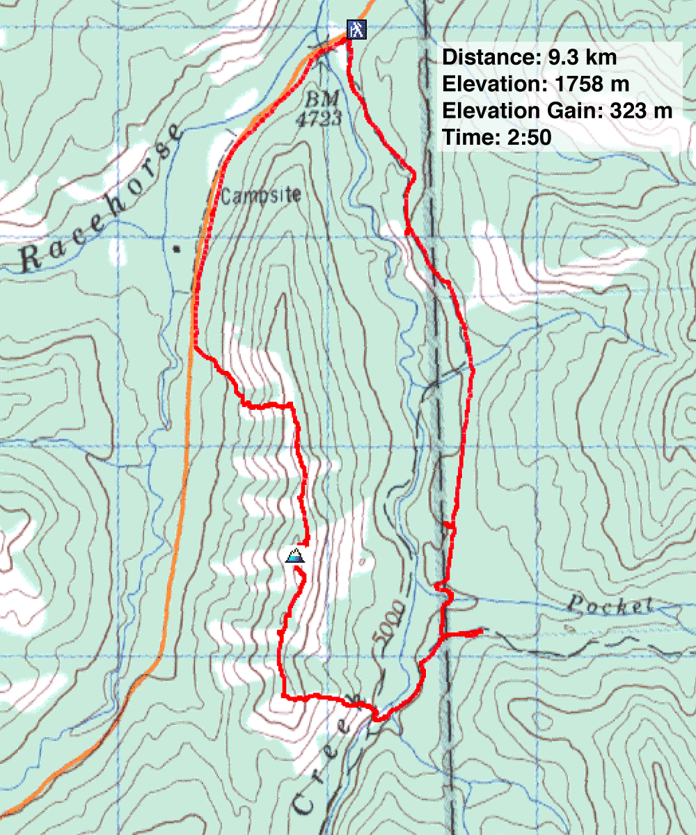
I used the same approach that I later used for Lightning Peak: an exploration road. I walked up the road until I reached the south end of the ridge and then hiked up the ridge. Then I headed north, traversing most of the ridge, before descending an open slope on the left. At the bottom of the slope, I bushwhacked to Highway 22. I followed the road to my car.
This scouting mission was a success. From Zebra Ridge, I was able to study most of the route to the summit of Lightning and took dozens of photos. I returned four months later and climbed the peak.
Unfortunately, logging has since destroyed the area, and I heard the road is gone.
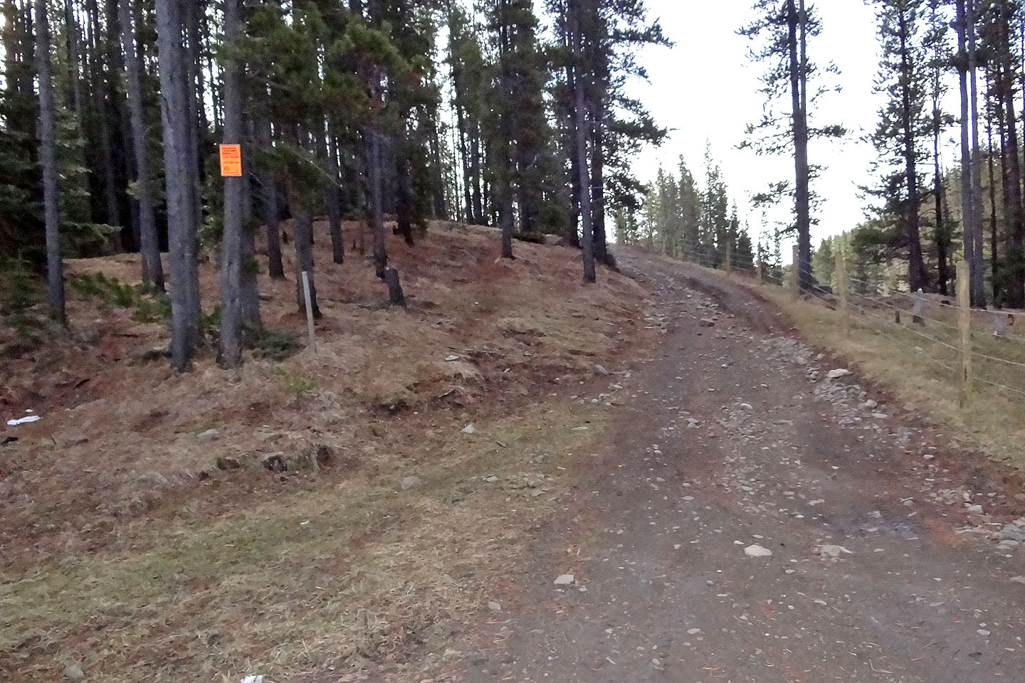
The road led to the south end of the ridge
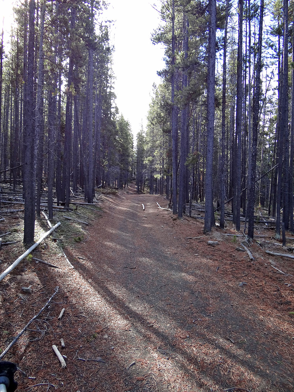
The smooth road proved to be nice ride when I returned to climb Lightning Peak
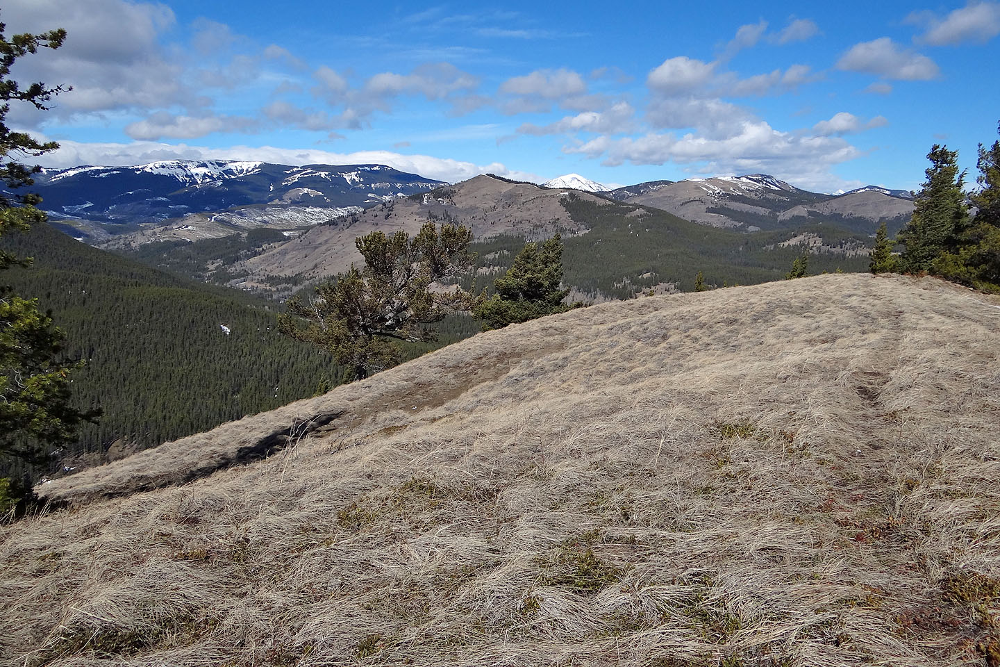
Zebra Ridge from the first lookout
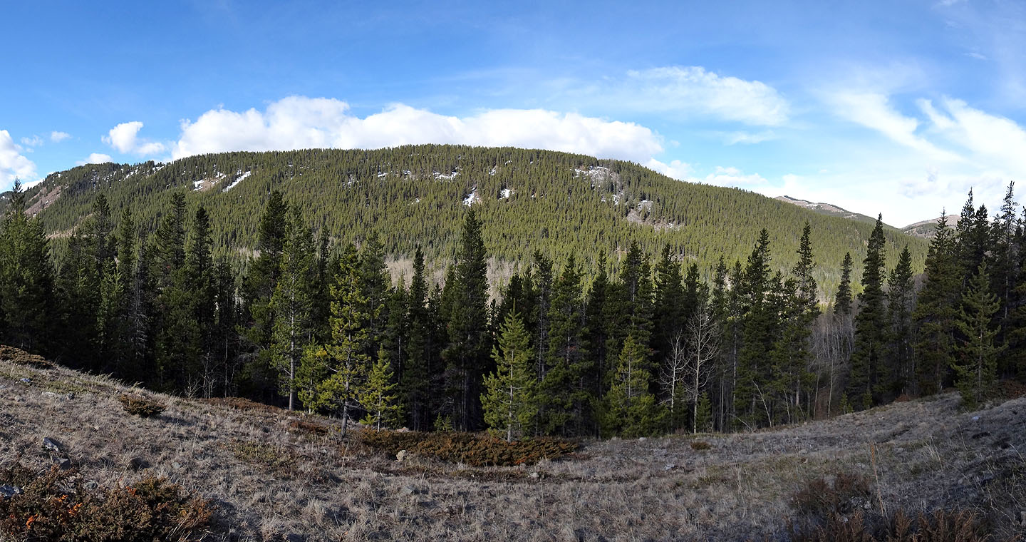
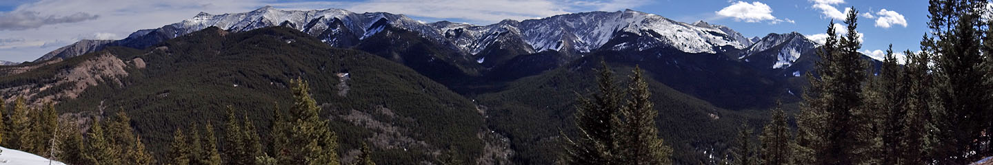
Panorama of the ridge
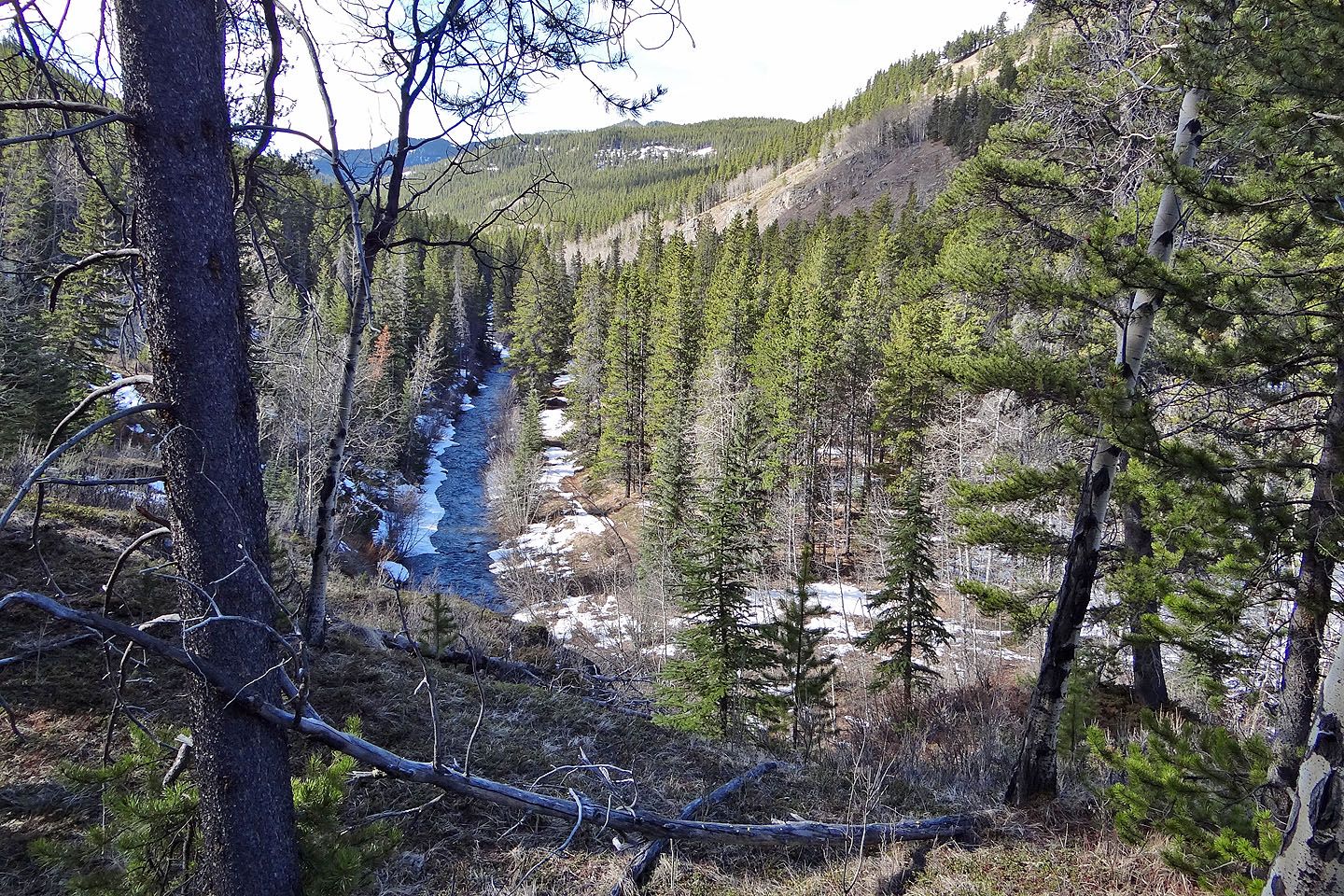
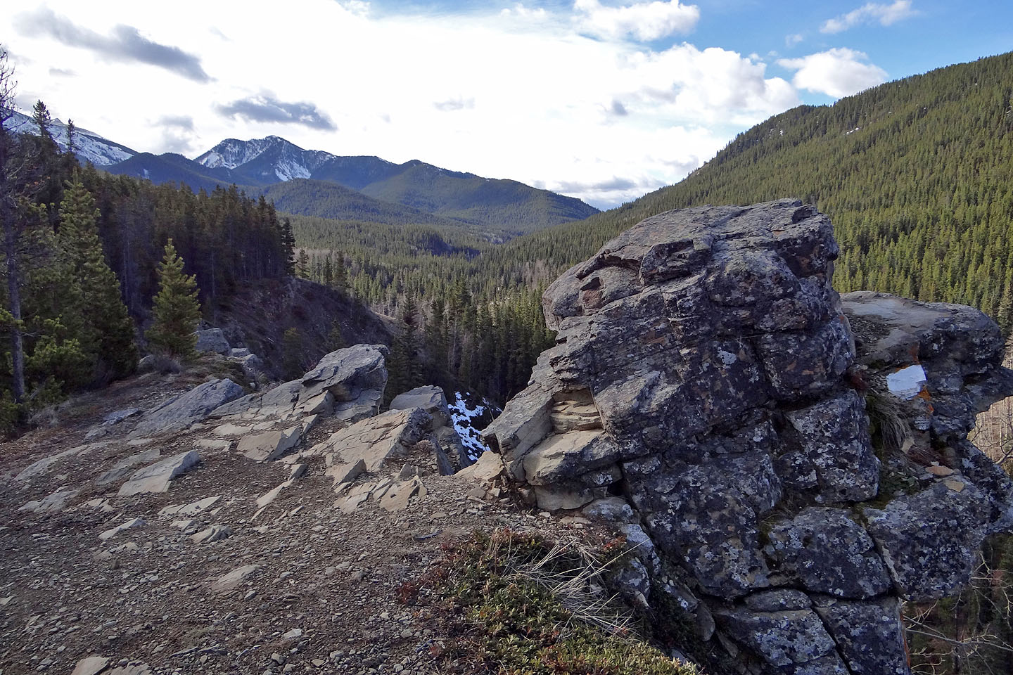
Looking down at Daisy Creek on my way up Zebra
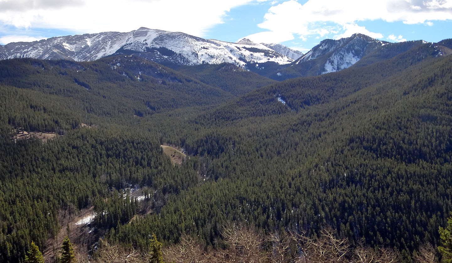
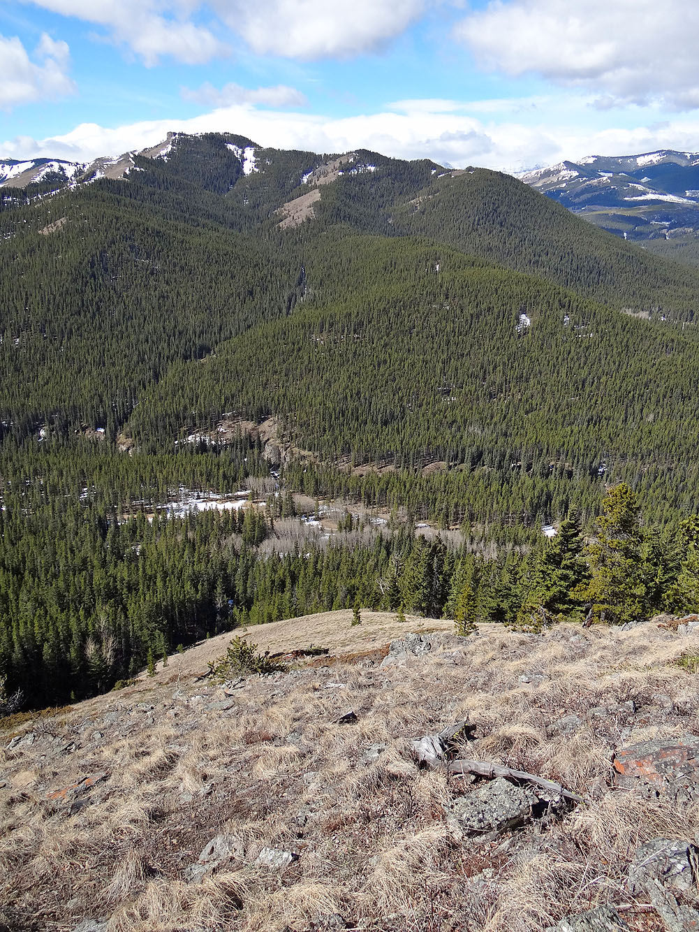
My first look at Lightning Peak
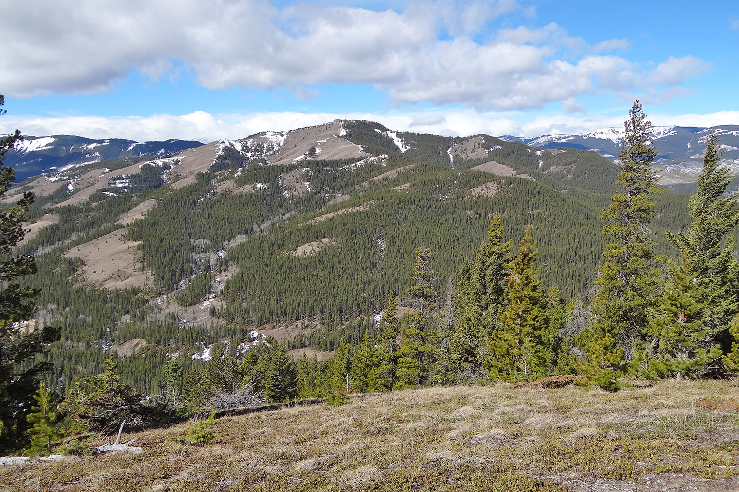
Further along the ridge, I dropped down the left side
I started down an open slope and reached the highway
82 G/16 Maycroft