bobspirko.ca | Home | Canada Trips | US Trips | Hiking | Snowshoeing | MAP | About
Charles Stewart South Peak
Kananaskis, Alberta
June 14, 2003
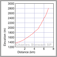
Distance: 14.1 km (8.8 mi)
Cumulative Elevation Gain: 1480 m (4856 ft)
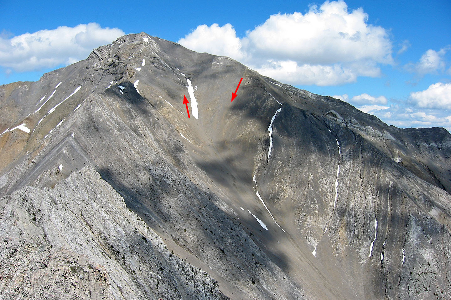
Rising more than 250 m above Bald Eagle Peak, the South Peak of Mount Charles Stewart offers far better views. The approach trail is fast and interesting, but the 1.25 km slog up the scree gully is numbing!
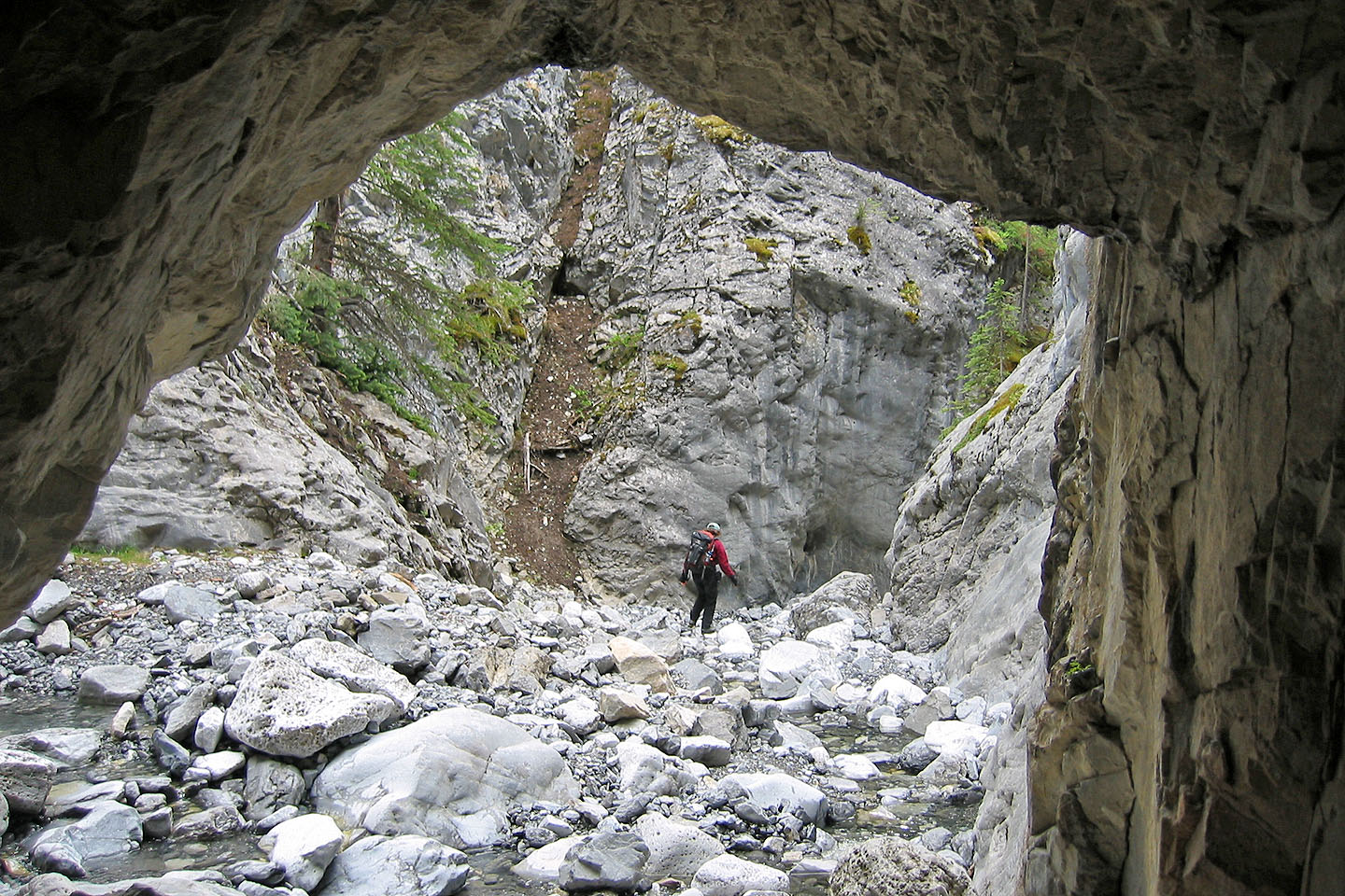
To reach the summit, head up Stoneworks Canyon Trail (see Kananaskis Country Trail Guide) and continue up the creekbed past the canyon. The canyon soon opens up but leads to a dead end – a waterfall. On your left, however, a broad scree gully leads to the summit. As you trudge up this gully, note the orange scree run on your right: this is a fast descent route. To reach the peak, we stayed left of the gully because of the snow. Just before the summit, the grade steepens considerably, and it's a moderate scramble to the top. The summit was too misty for a panorama so I dropped down a bit before taking it.
After taking in the views, start down the southeast ridge and seek the top of the orange scree run where you'll make a swift exit back down to the gully.
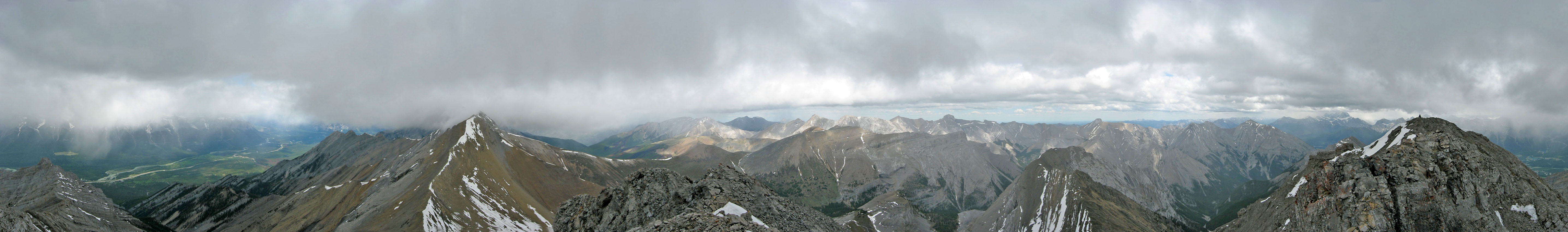
South Peak seen from the DQ in Canmore
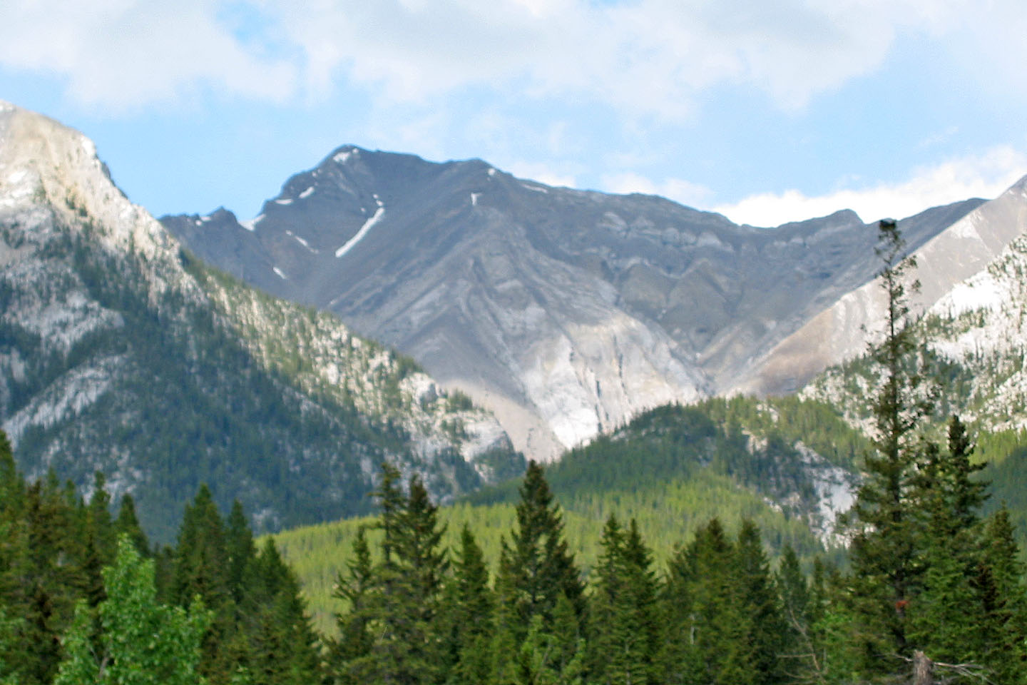
South Peak seen from Bald Eagle Peak the following day. On our descent, we
followed the ridge on the right until we reached the orange scree run.
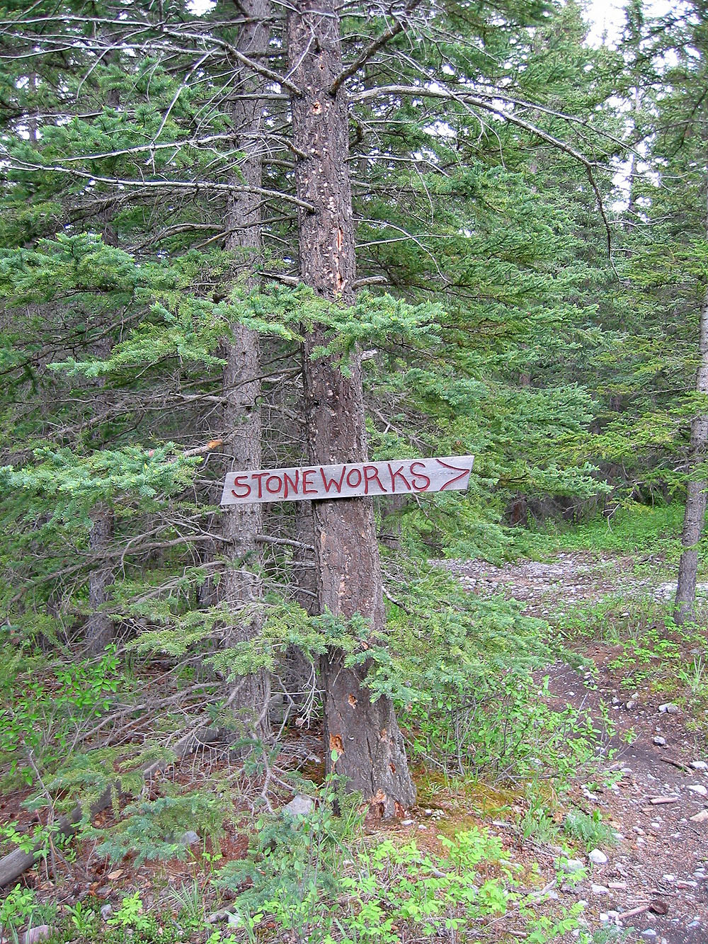
A sign indicates the trail
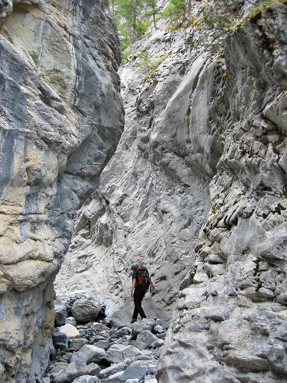
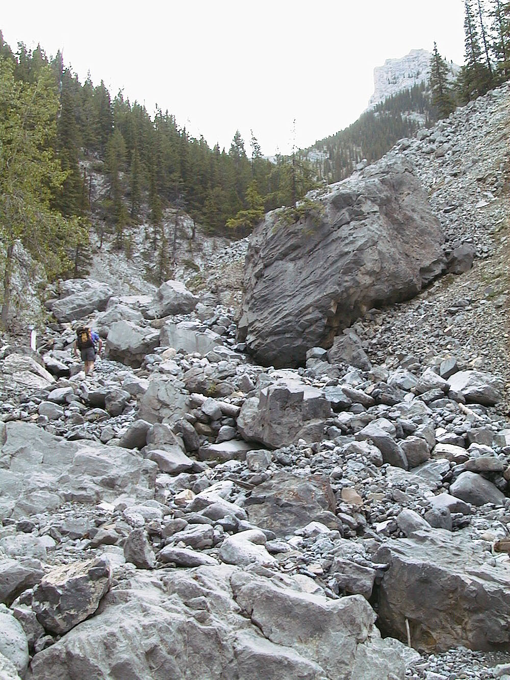
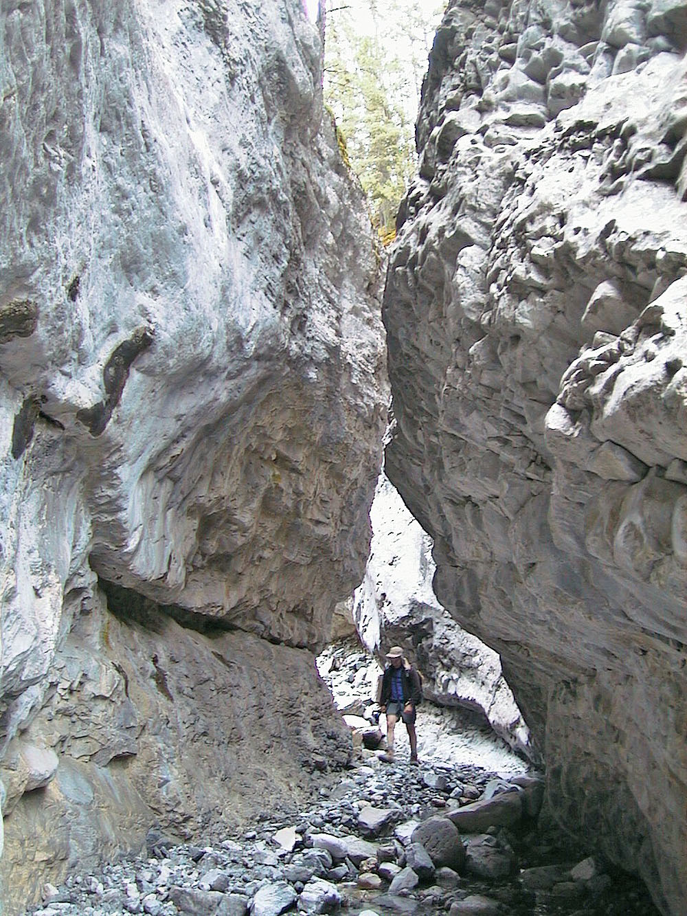
Hiking up the canyon
Stoneworks Canyon provides an interesting diversion on the approach
Looking back after exiting the canyon
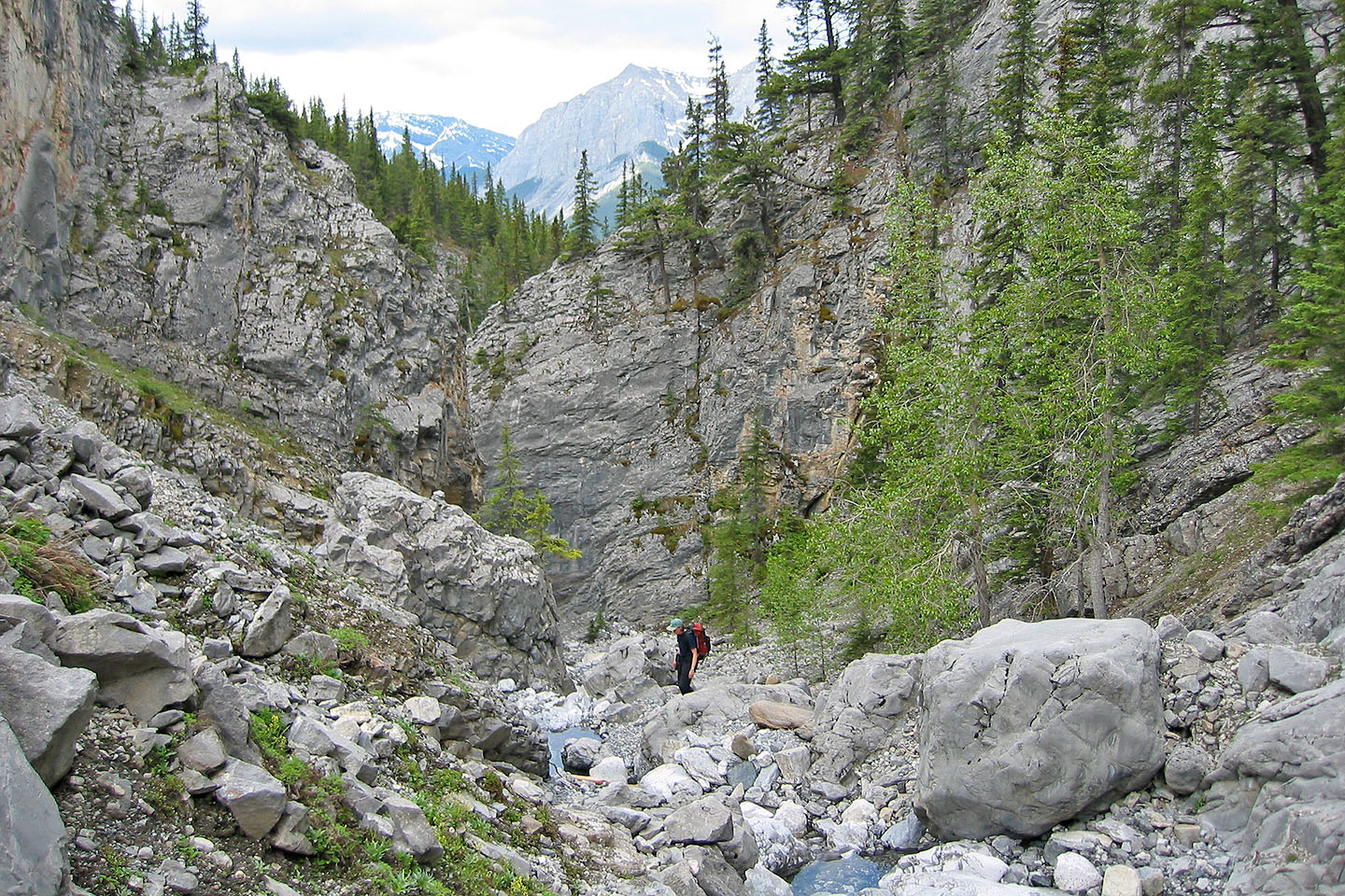
Hiking up the drainage after the canyon
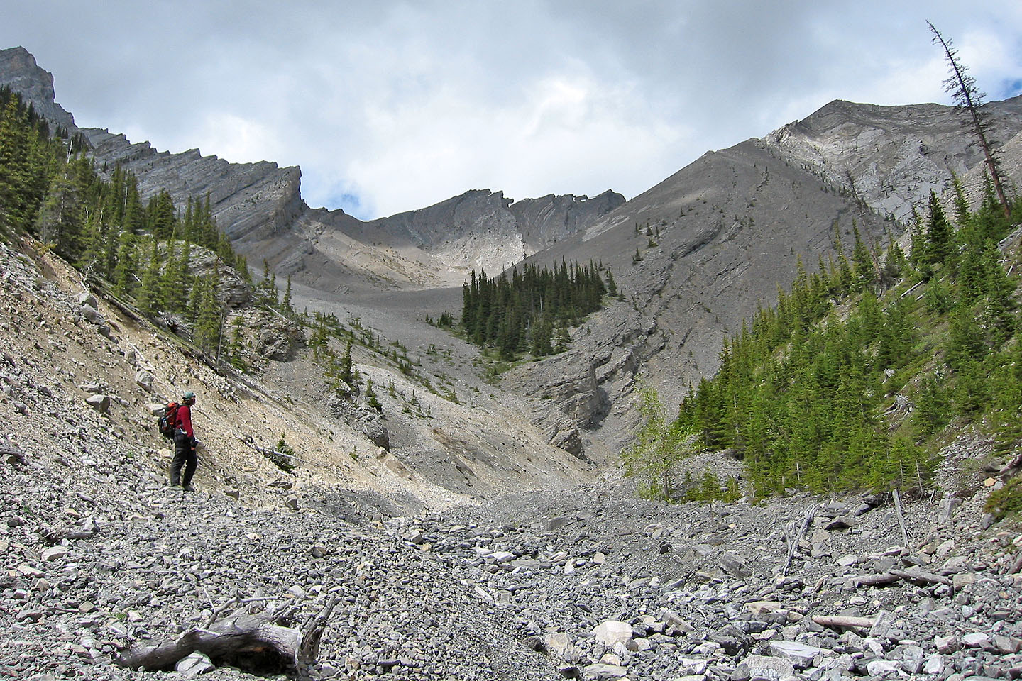
At the end of the drainage, keep left to reach the start of the scree gully
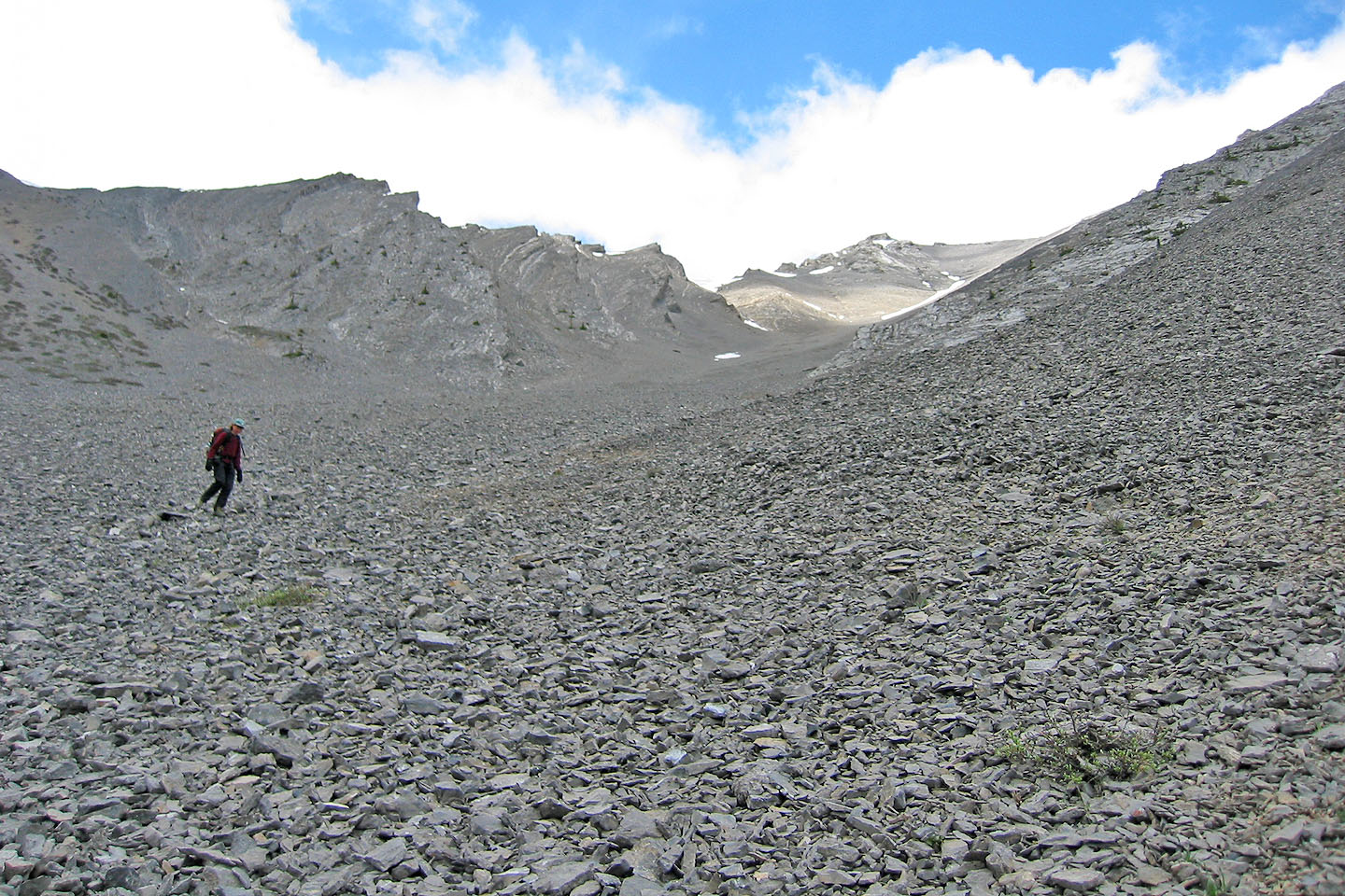
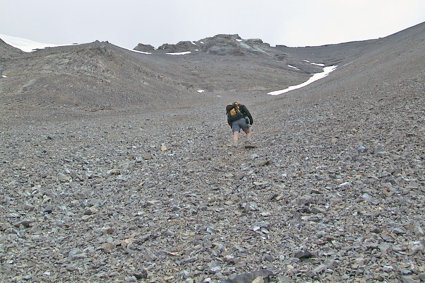
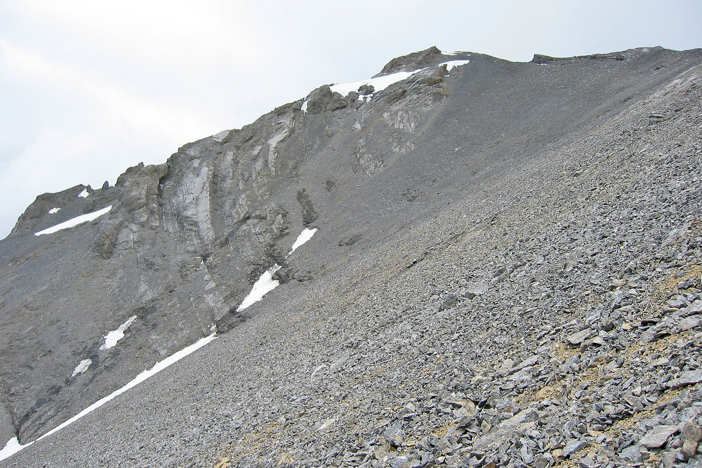
The endless scree slog to the summit in the background
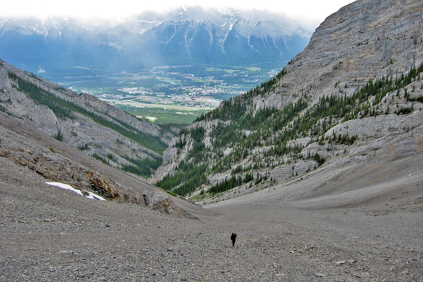
The town of Canmore comes into view behind us (mouse over for a close-up)
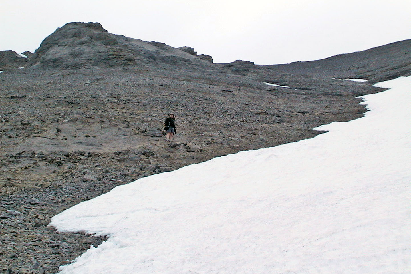
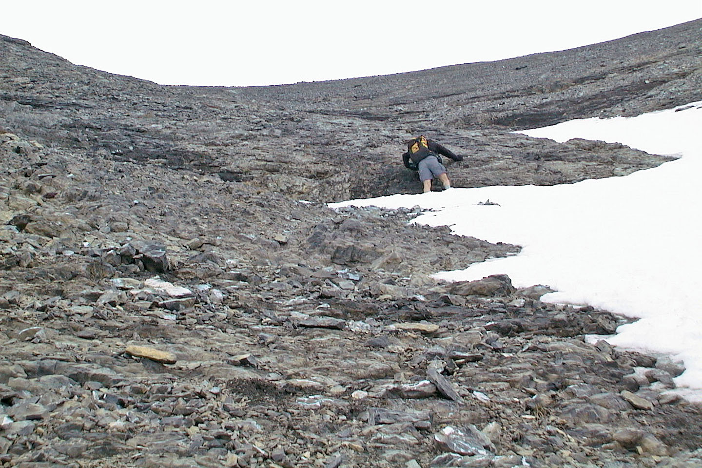
We headed to the solid rock left of the snow to avoid the scree
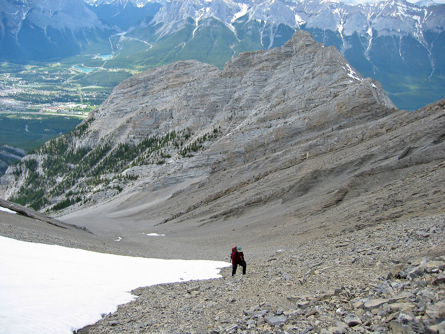
Partway up the scree. Bald Eagle Peak rises behind us.
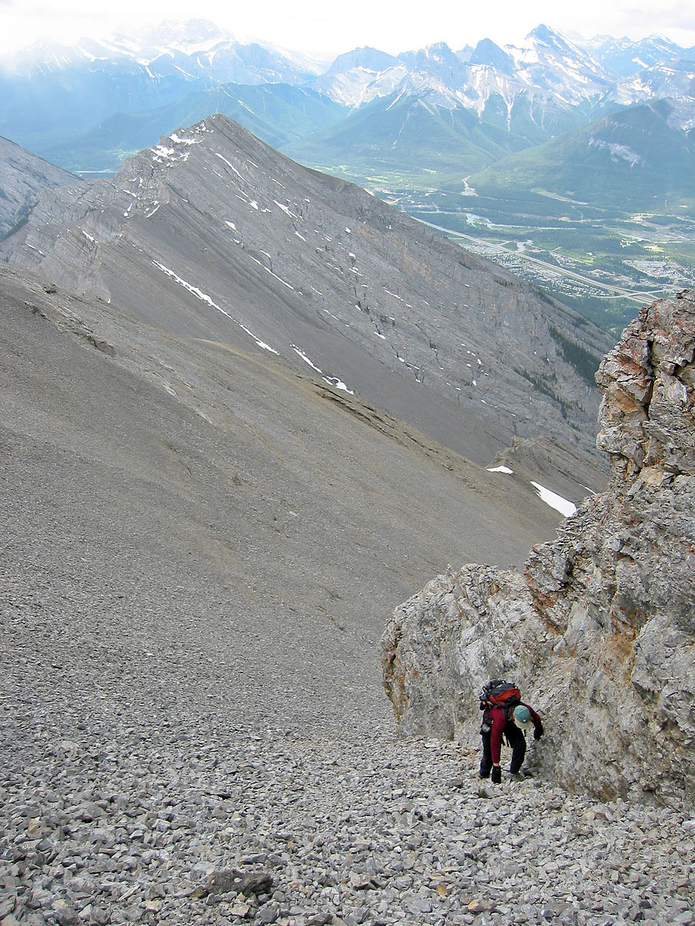
We gratefully hug rocks on our left where the scree is firmer
The snow was too soft to hike up or slide down on
We finally reached solid rock
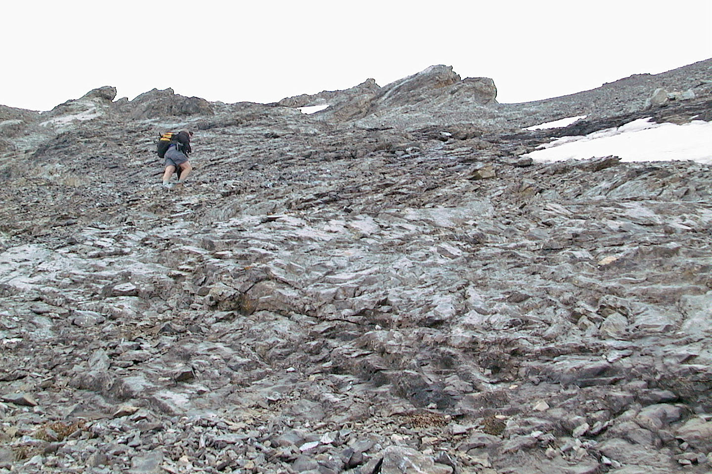
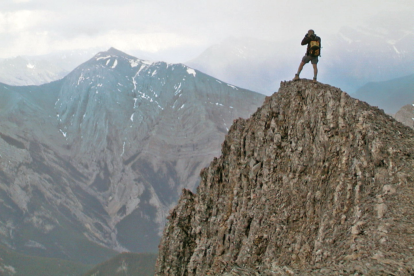
Almost at the top!
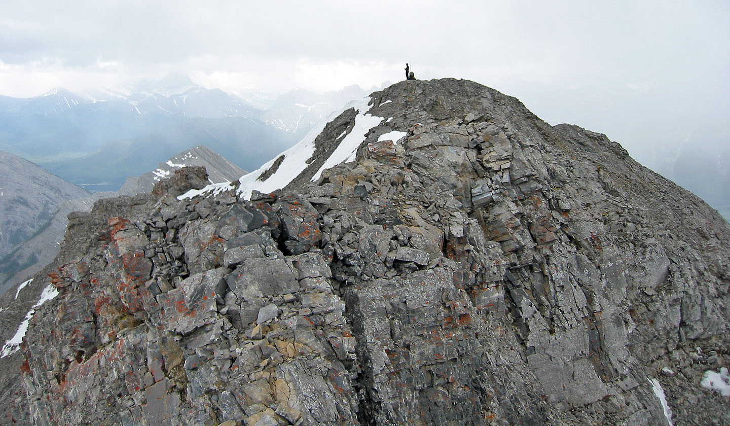
Dinah stands by the summit cairn
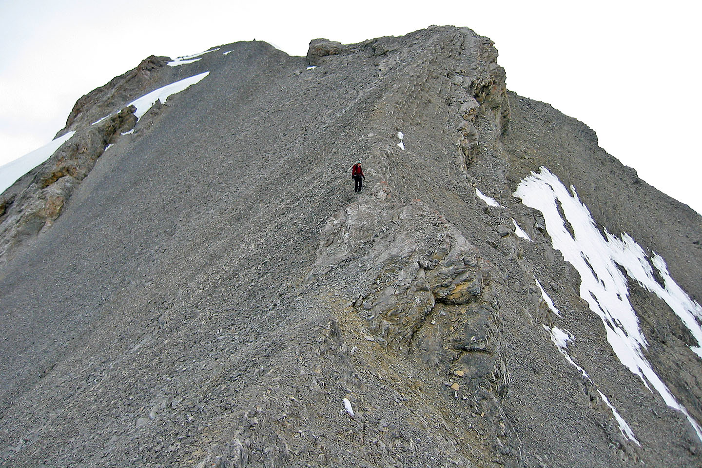
The ridge continues to Mount Charles Stewart
Trying to take pictures in the mist
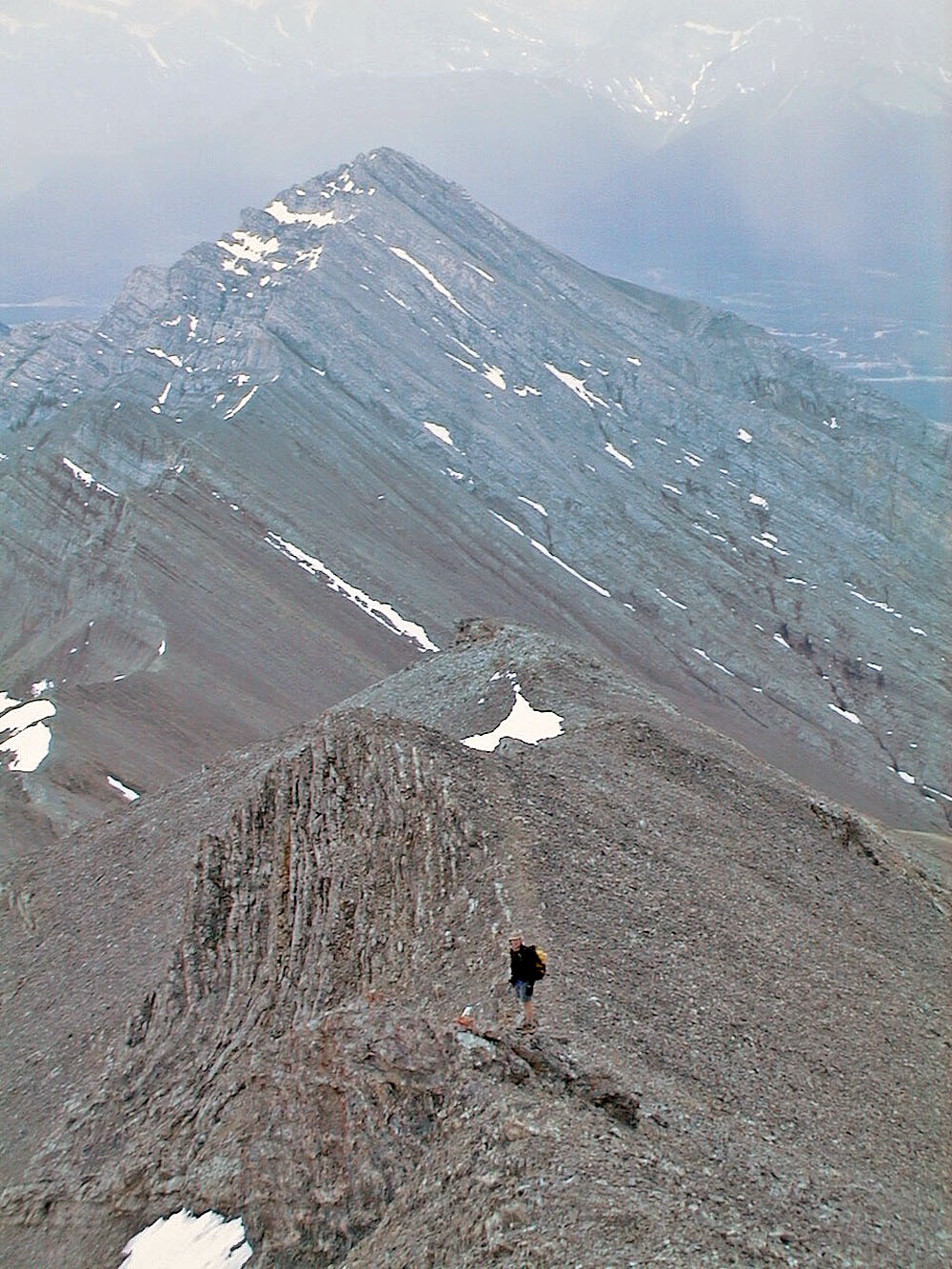
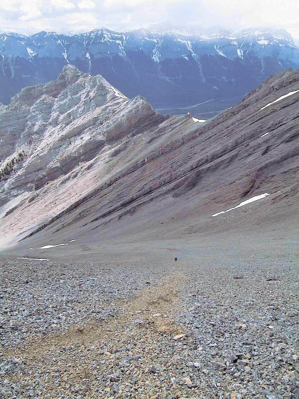
Descending the ridge. Summit cairn is in the upper left. Note the steep grade of the scree.
Running down the orange scree
Looking back at the summit from partway down the scree slope
Hiking back through the canyon
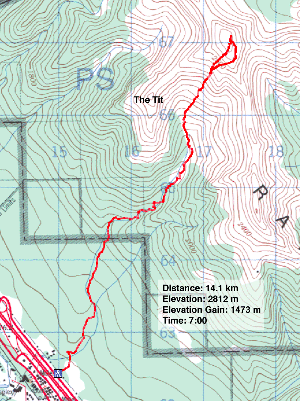
82 O/3 Canmore