bobspirko.ca | Home | Canada Trips | US Trips | Hiking | Snowshoeing | MAP | About
Cockscomb Mountain
Banff National Park, Alberta
August 14, 2006
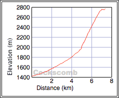
Distance: 15.0 km (9.3 mi)
Cumulative Elevation Gain: 1372 m (4501 ft)
Two years ago, Dinah and I were looking for a ridge to climb from Ranger Creek valley and accidentally stumbled upon a way up Cockscomb Mountain. We didn't have time to reach the summit, and we turned back. So I returned to ascend the mountain solo.
Since I was using the same approach (see Cockscomb Mountain attempt), I didn't see any reason to take the same photos and didn't pull out my camera until I was well up Ranger Creek. From the creek, I followed the northwest ridge like before and reached the rocky shoulder where we had turned around.
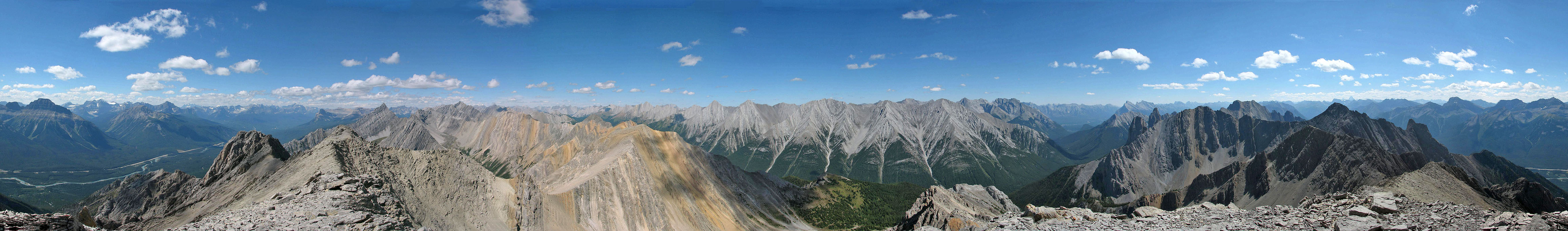
Continuing on, I thought I would encounter some difficulties either on the false summit or going to the true summit, but there were none. Cockscomb Mountain is an easy scramble. I roosted on the top of Cockscomb Mountain for half an hour where I was able to pick out over a dozen Kane peaks.
Despite lacking any real scrambling, I think Cockscomb Mountain is a worthwhile late-season trip, although I don't recommend bushwhacking out with headlamps! I had trouble enough in daylight.
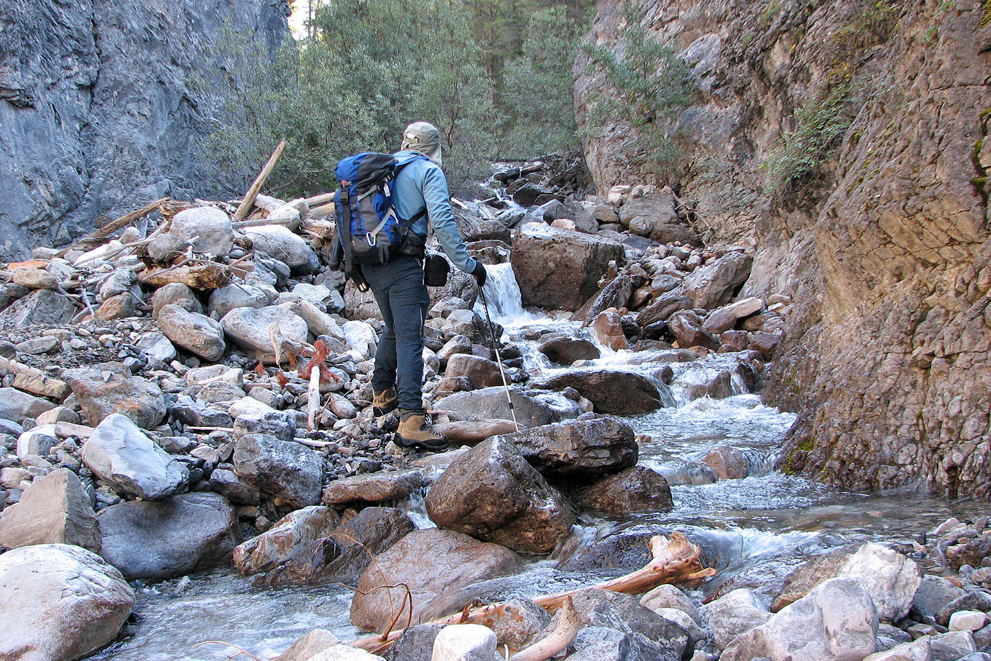
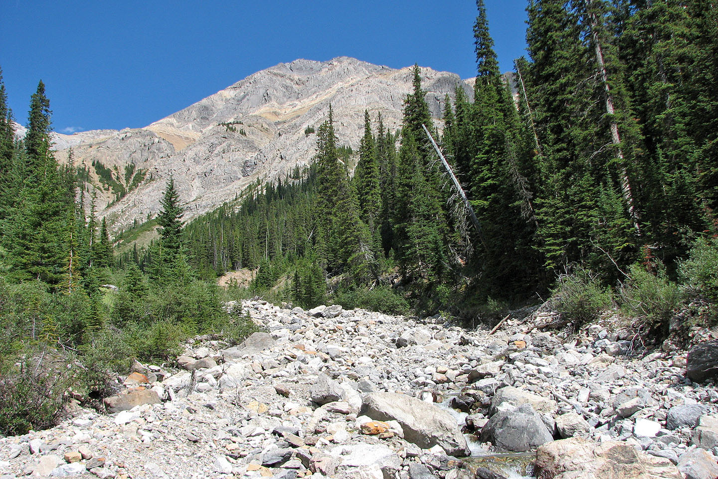
Typical traveling up Ranger Creek
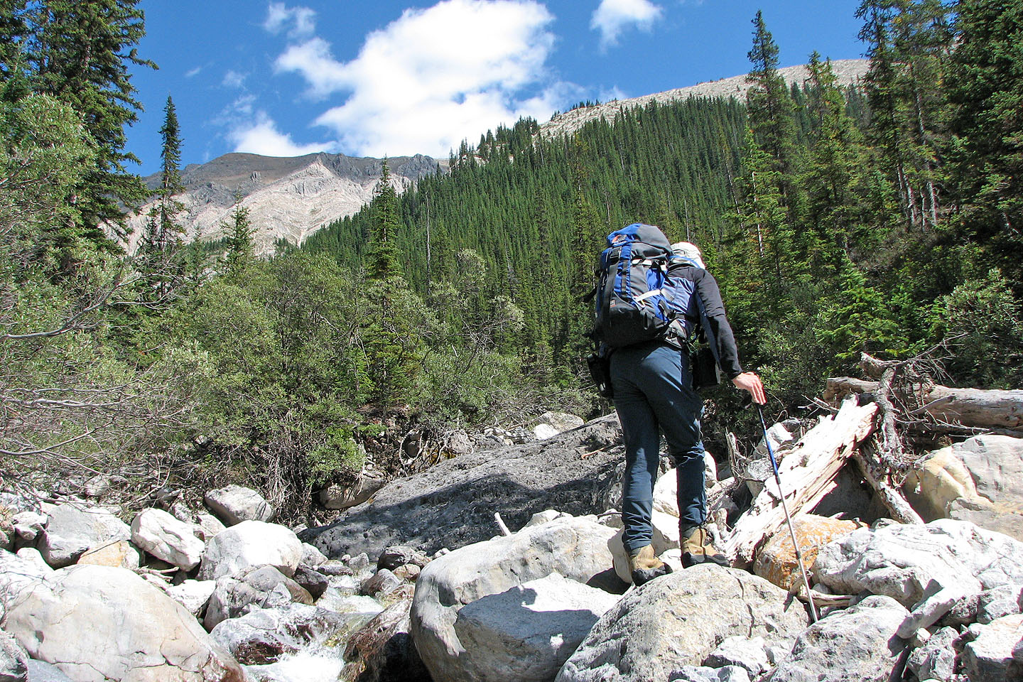
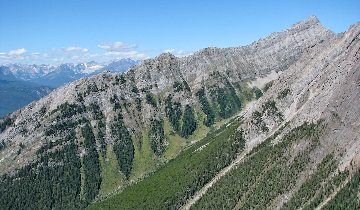
After nearly two hours of hiking, the ascent ridge came into view above me
The avalanche chute is hidden on the right
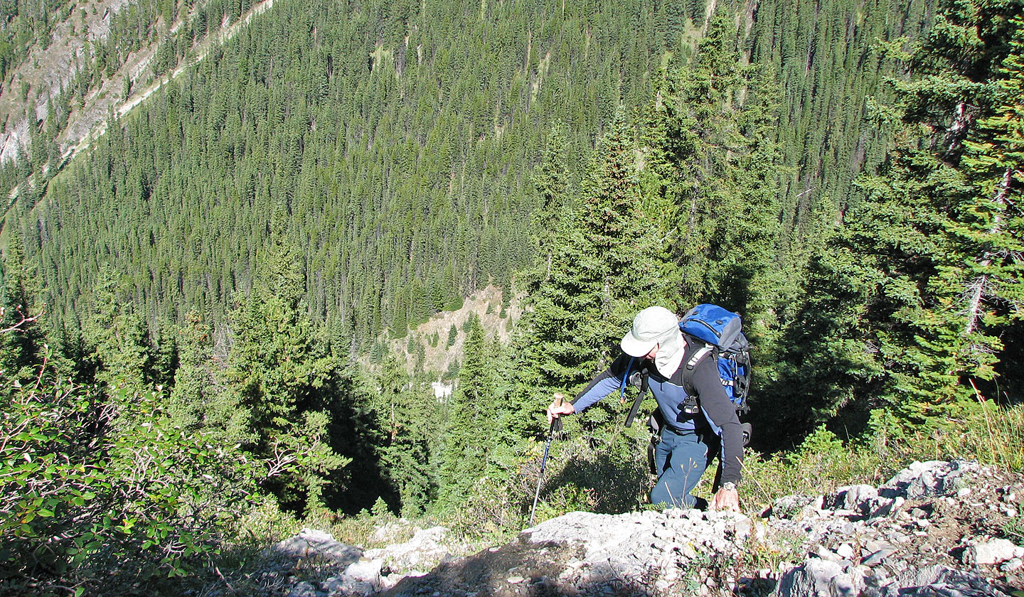
Coming out of the avalanche chute
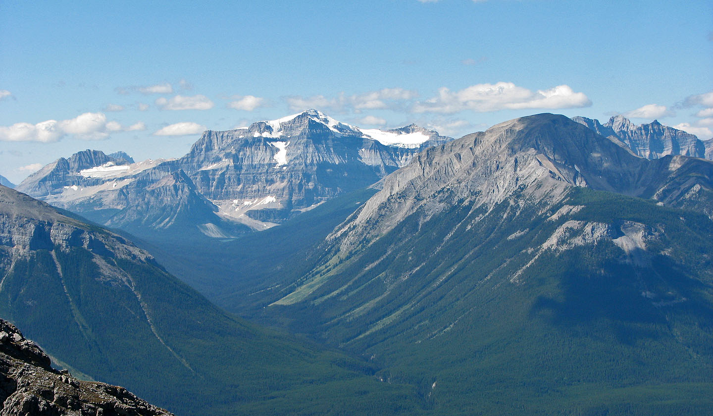 Mount Isabelle, Mount Ball and Copper Mountain
The grade eases for a short ways. Ahead is the false summit.
Behind is Mount Ishbel
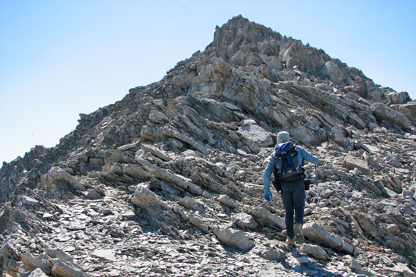
Closing in on the false summit. I was expecting some moderate scrambling here
and put on my helmet. I needn't have bothered. It was a walk-up on the right side.
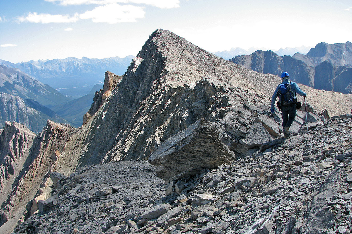
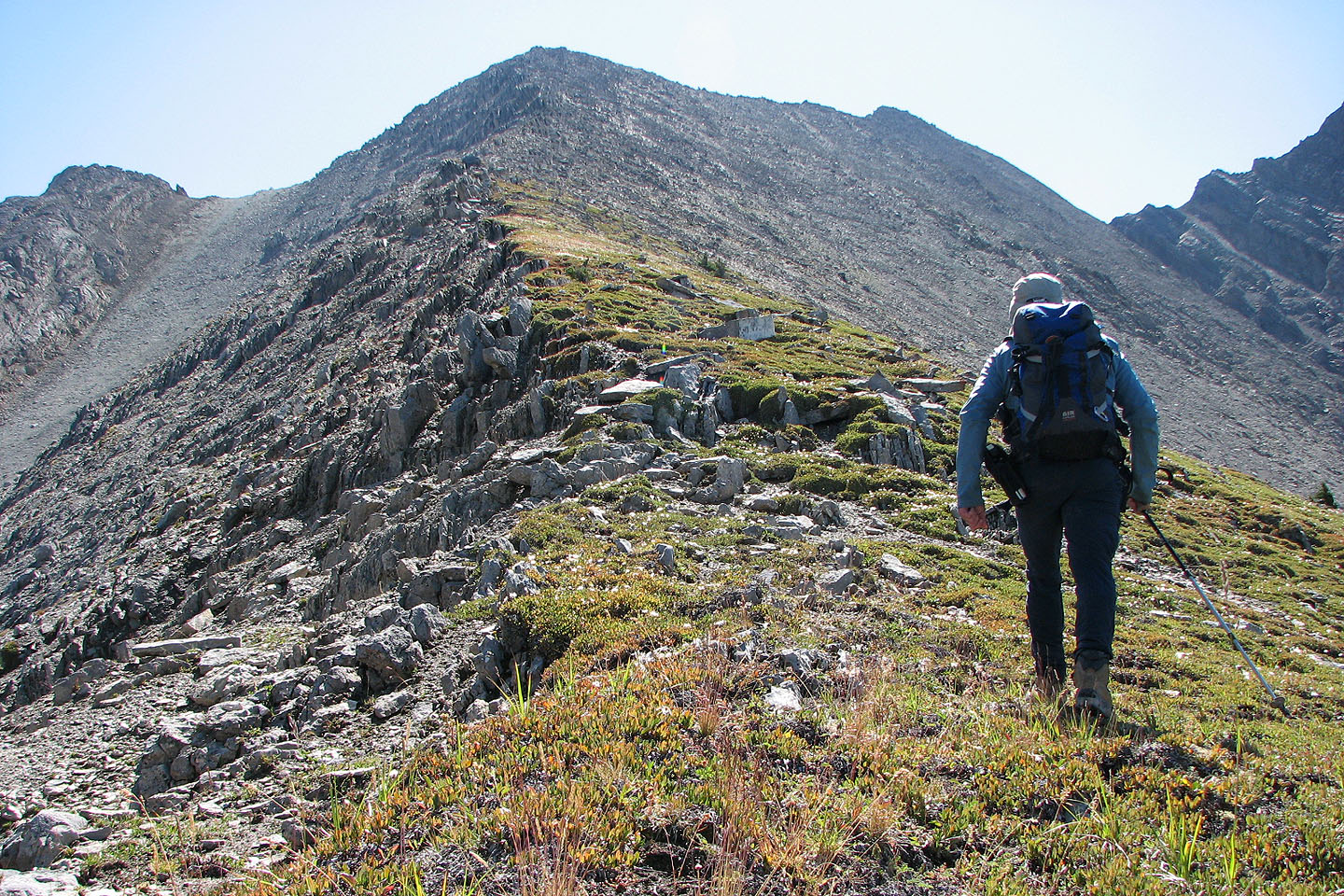
Leaving the false summit for the true summit
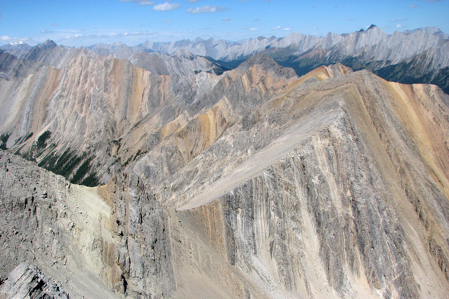
Interesting colours and patterns to the northwest
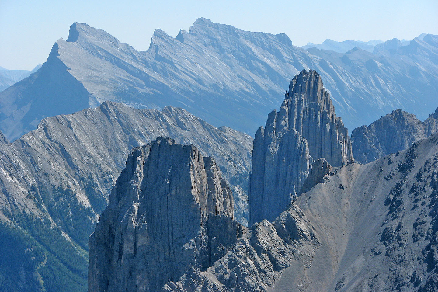
Fifi and Louis
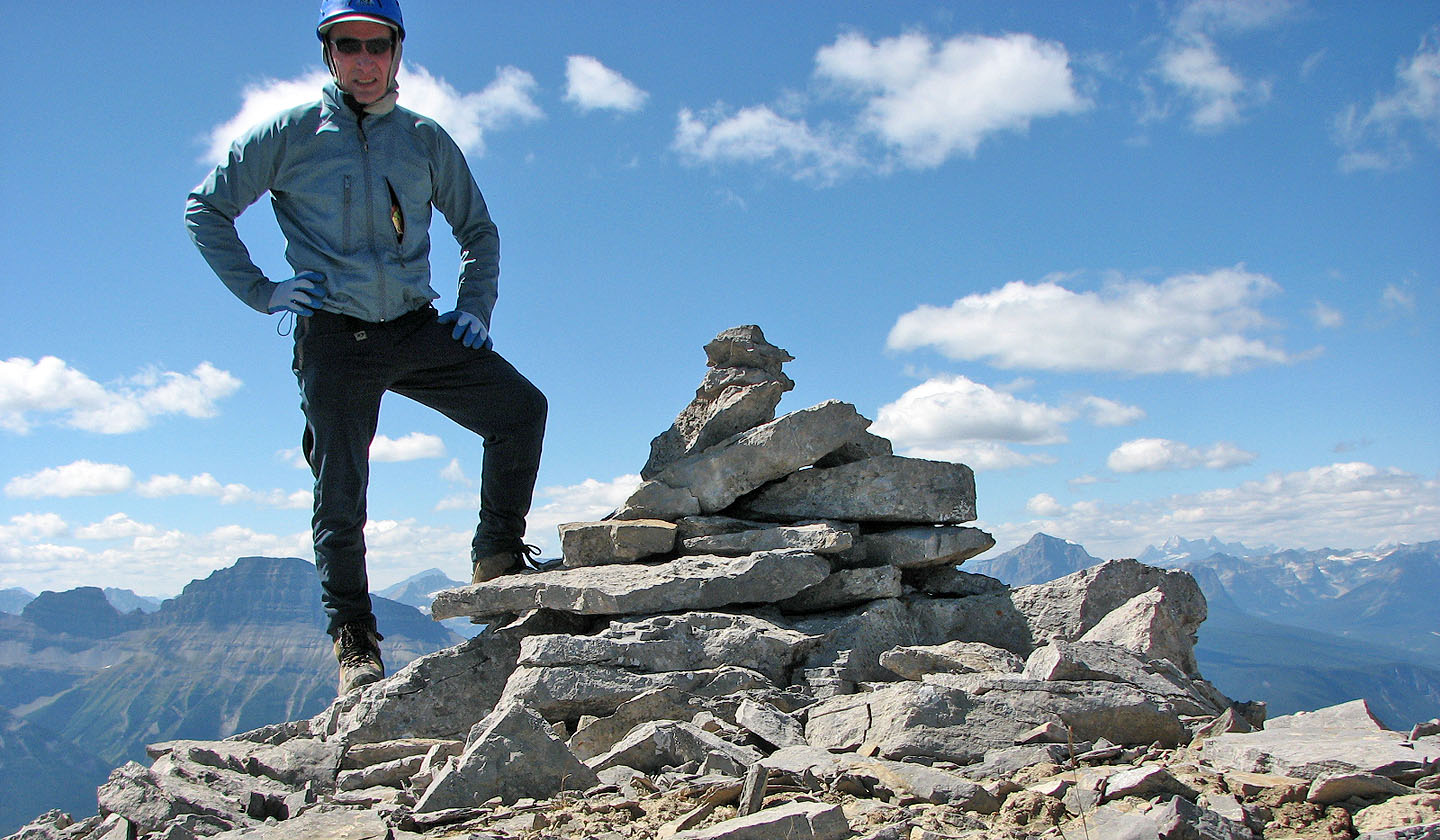
On the summit. Pilot Mountain is behind me.
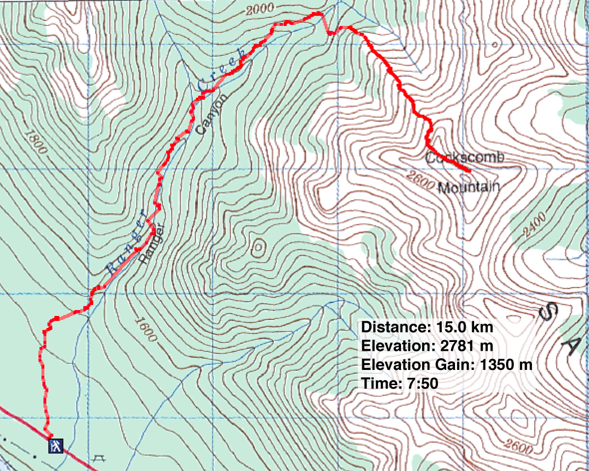
82 O/4 Banff