bobspirko.ca | Home | Canada Trips | US Trips | Hiking | Snowshoeing | MAP | About
Three Sisters
Fernie, B.C.
August 29, 2009
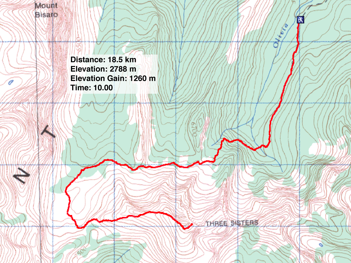
Distance:18.5 km (11.5 mi)
Cumulative Elevation Gain: 1320 m (4331 ft)
When I first spied the Three Sisters several years ago, I never suspected you could hike to the summit, the highest in Fernie. Nor did it occur to Sonny and me, after finding a trail description on the internet, there could be a new trail. We learned about it when we ran into a lone hiker on our trip.
There was nothing wrong with the trail we took, although Sonny's SUV nearly became stuck in a huge mud hole en route, and we parked a kilometre short of the trailhead. The newer trail is apparently better maintained, but the four of us – Sonny, Kelly, Dinah and myself – easily followed the original route, hiking through the forest before reaching a trail that traversed the north slopes of the Three Sisters.
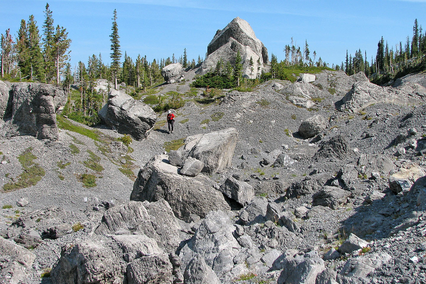
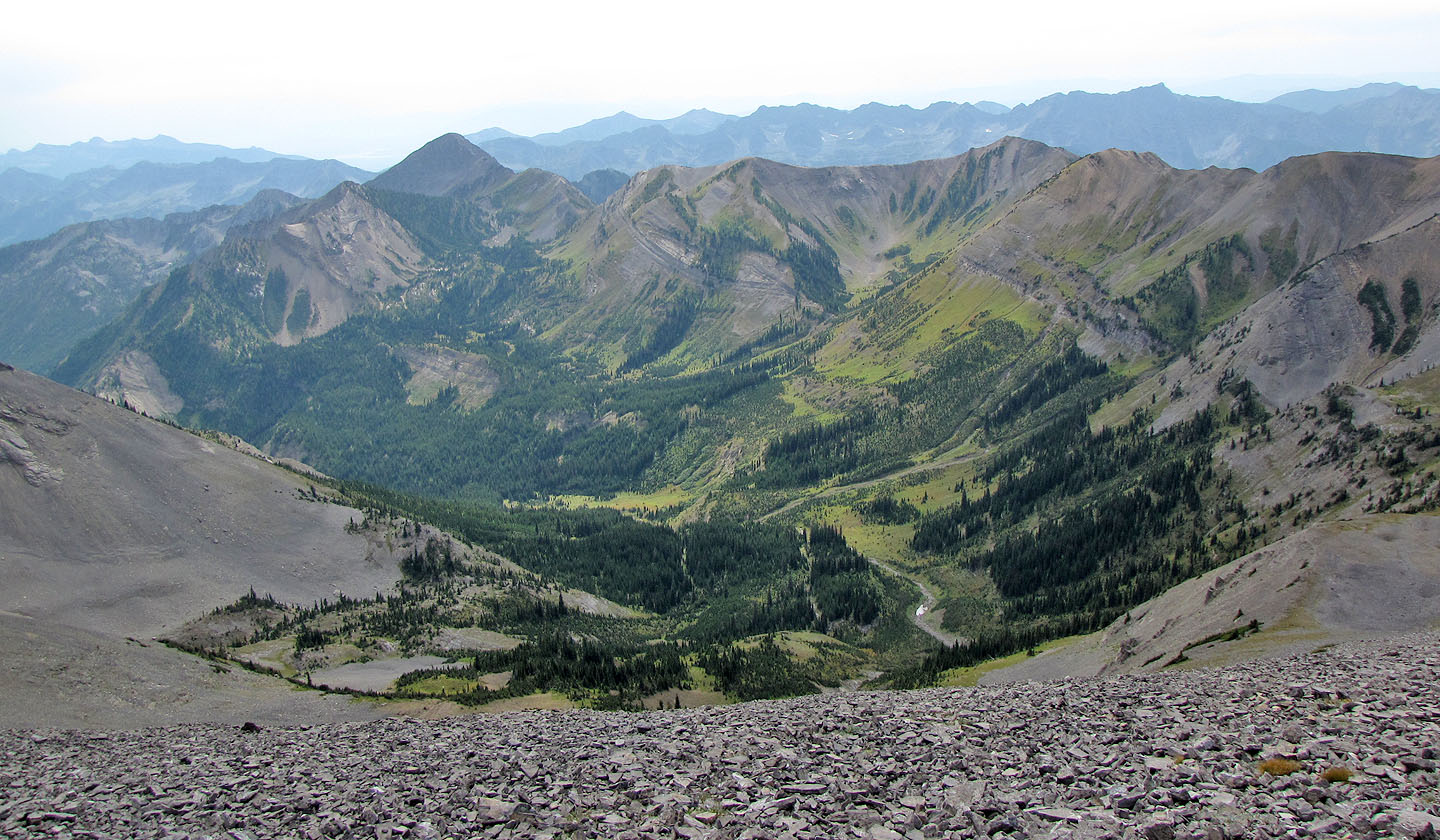
After turning several corners, the trail dipped down into the Sulphur Creek Basin. The highlight of the trip, the basin is rife with sinkholes and house-size boulders.
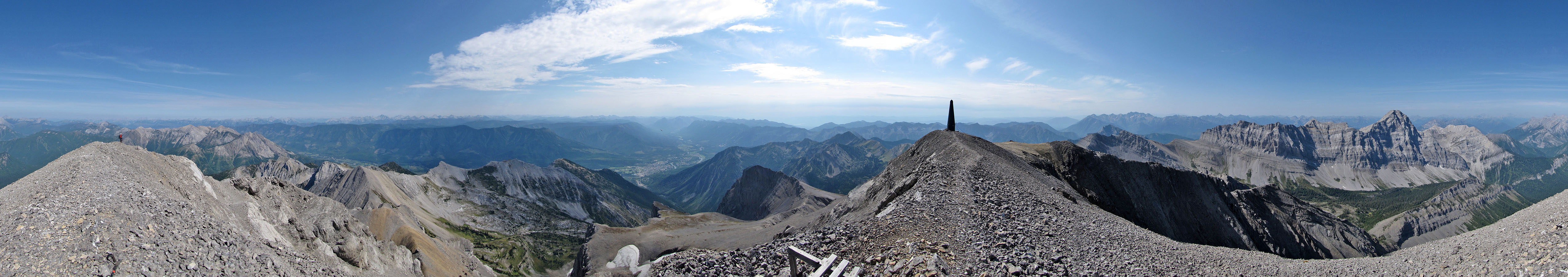
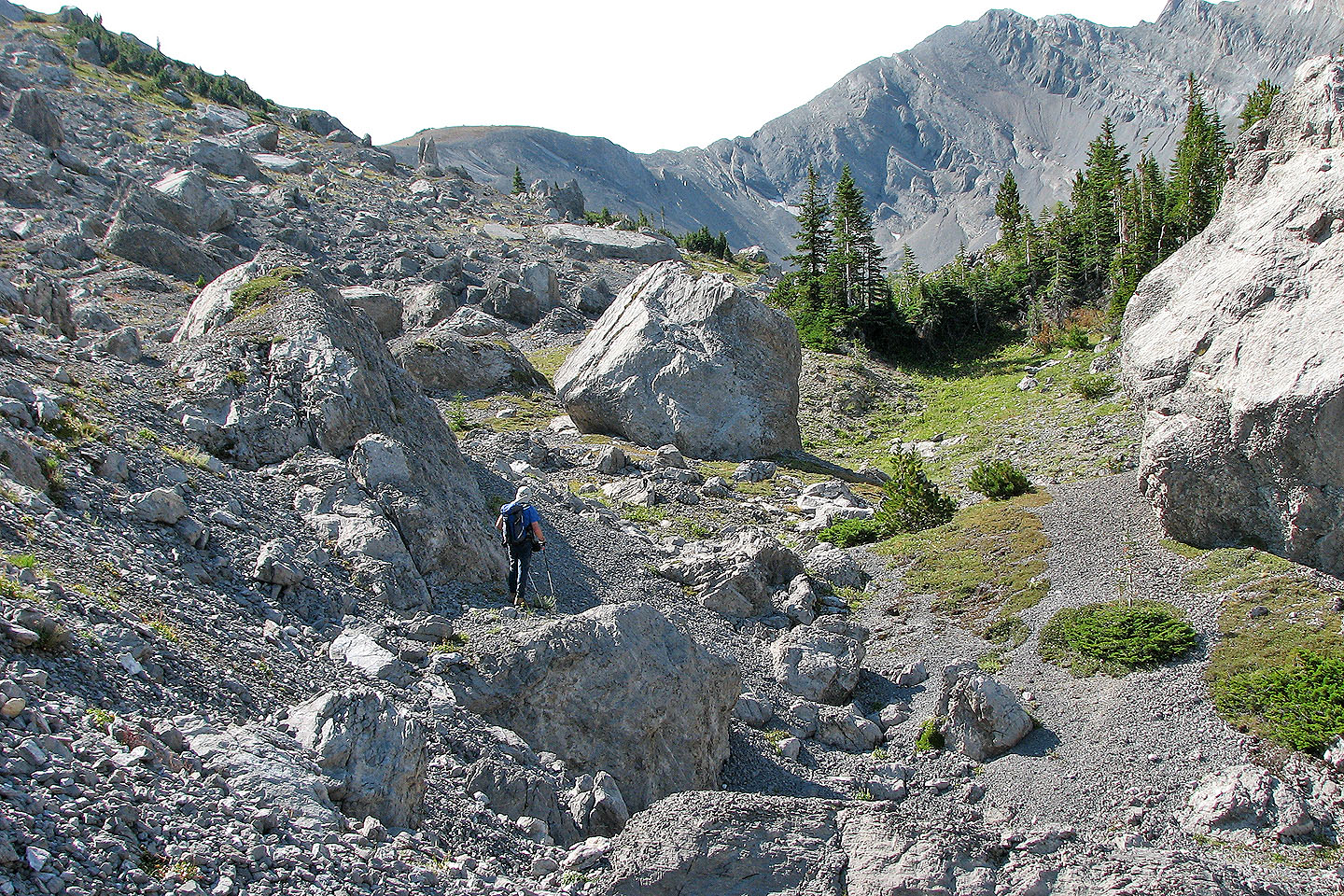
After making our way through the boulder maze, we climbed to the saddle east of the Three Sisters. Ahead, a trail etched in scree led to the summit 500 m above us. While Kelly stayed back and relaxed on the saddle, Sonny, Dinah and I trudged to the mountaintop.
After taking a slew of photos, we quickly descended to the saddle to join Kelly. We started taking the alternative trail north, but when it showed no signs of turning east, we made our way back to our ascent route.
Although we kicked ourselves for having missed the new route, clearly posted on Summitpost.com, perhaps it was fortunate. The new trail bypasses Sulphur Creek Basin, and I'm glad we walked through the impressive landscape.
KML and GPX Tracks
Sonny's Trip Report
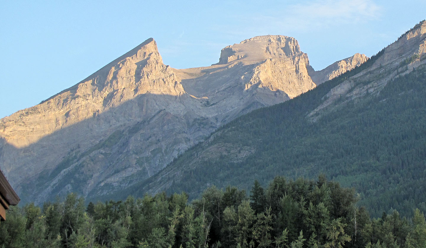
The Three Sisters seen from Tim Horton's in Fernie
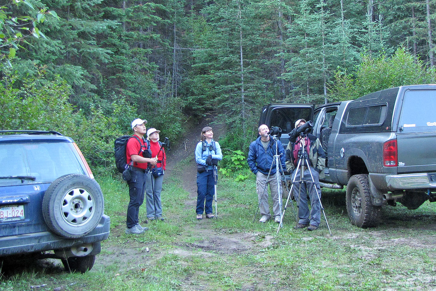
At the trailhead we talked to hunters who spotted elk
A sign indicates what lies ahead (mouse over)
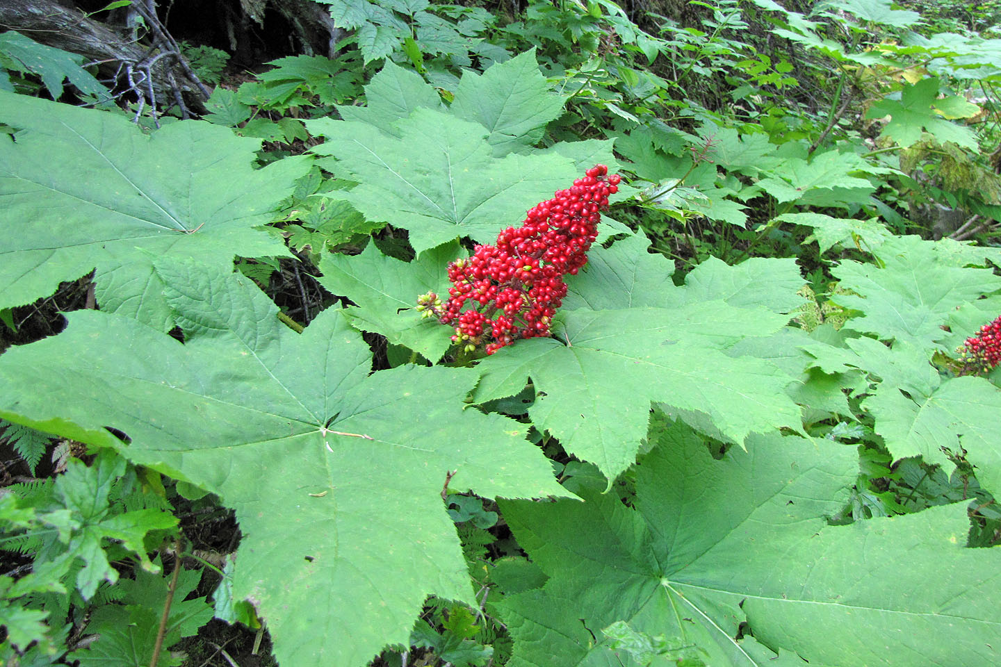
Devil's club
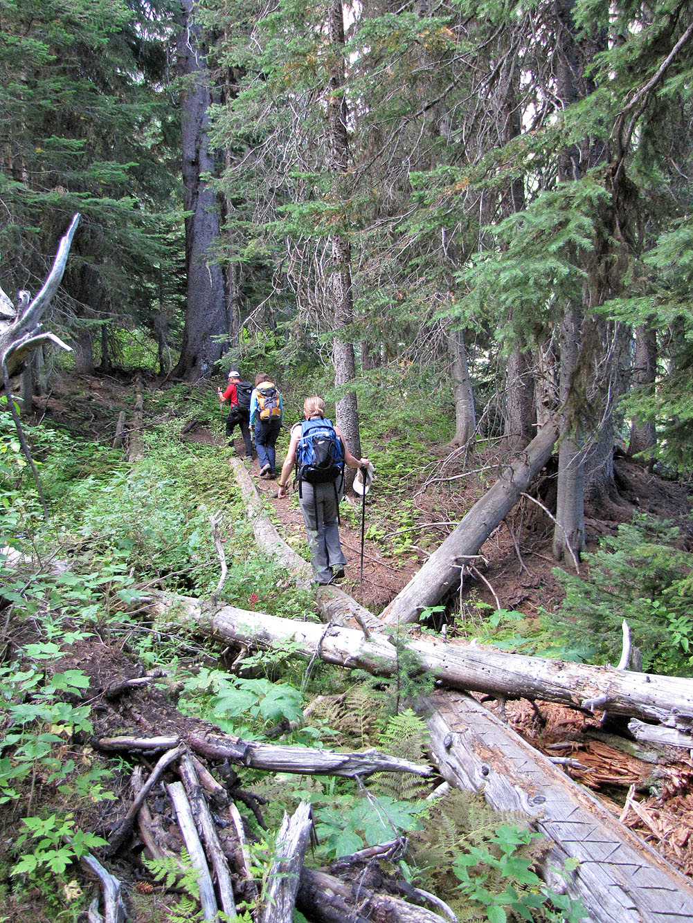
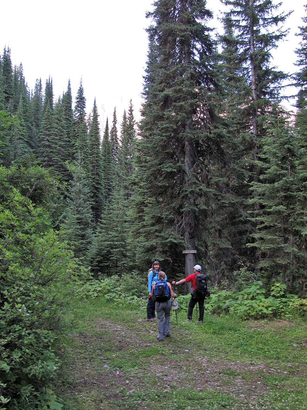
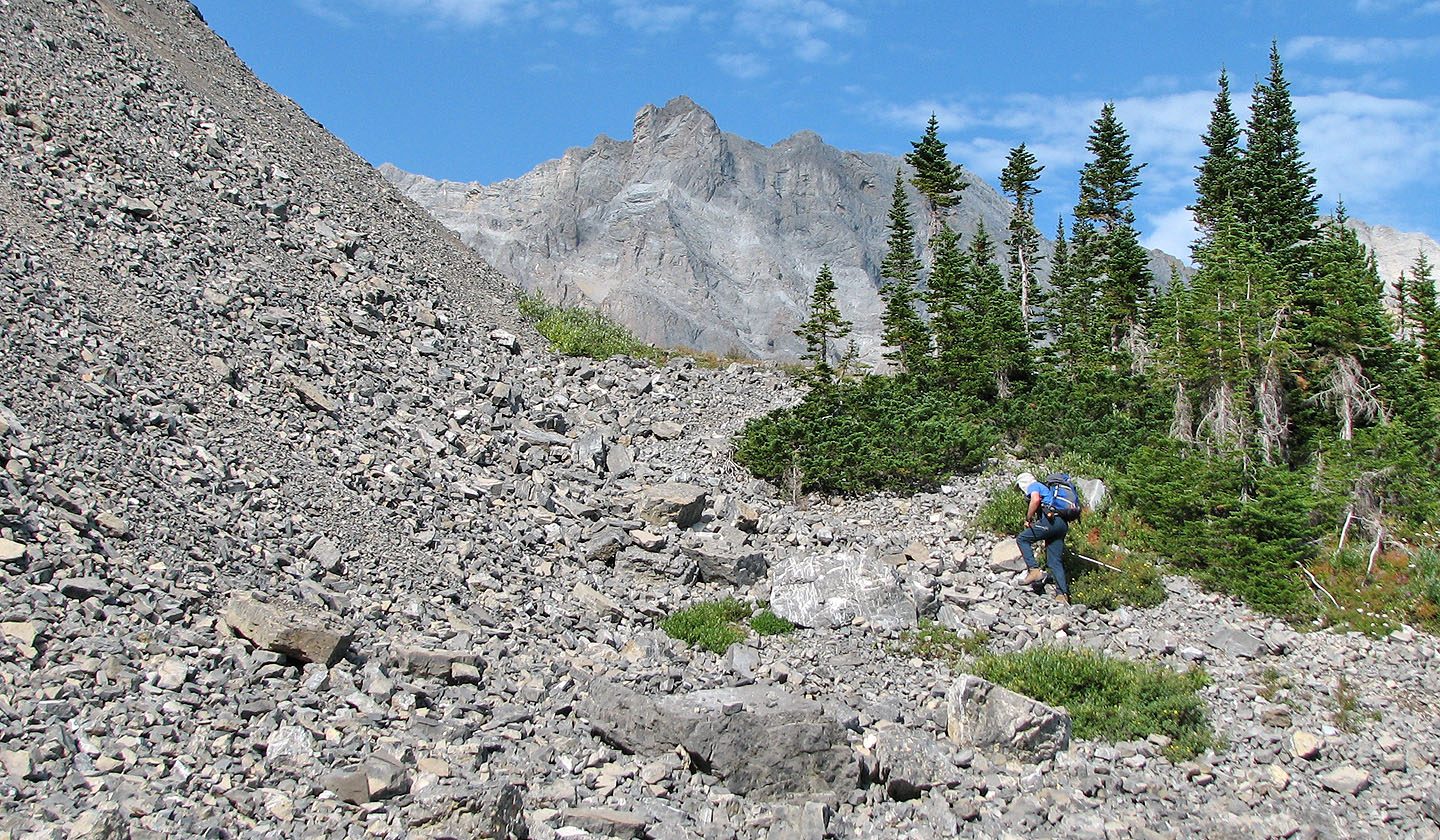
The trail changes from a road to a single track
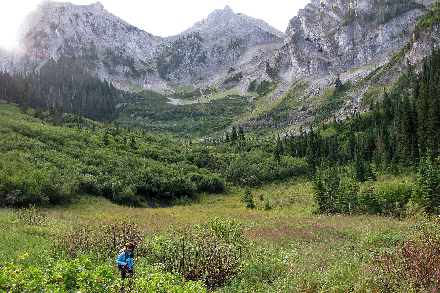
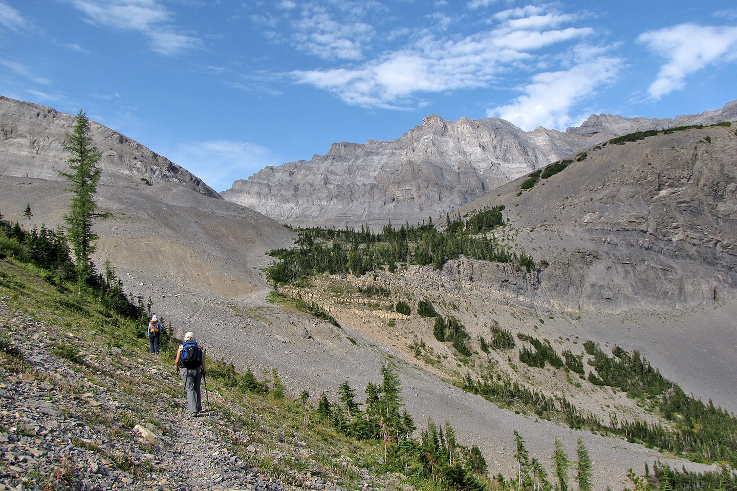
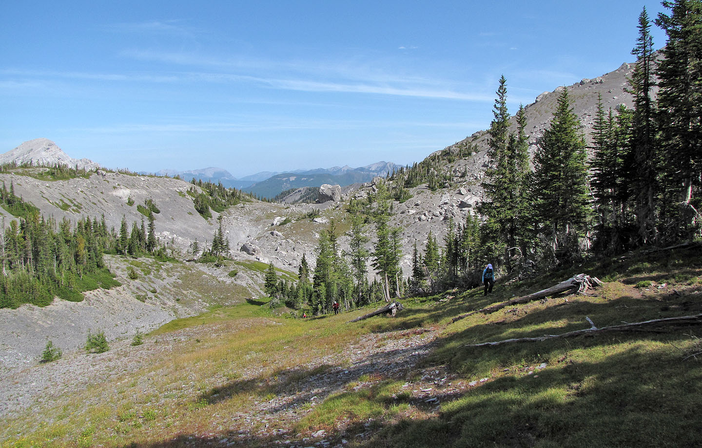
Crossing a basin
Following a crude trail
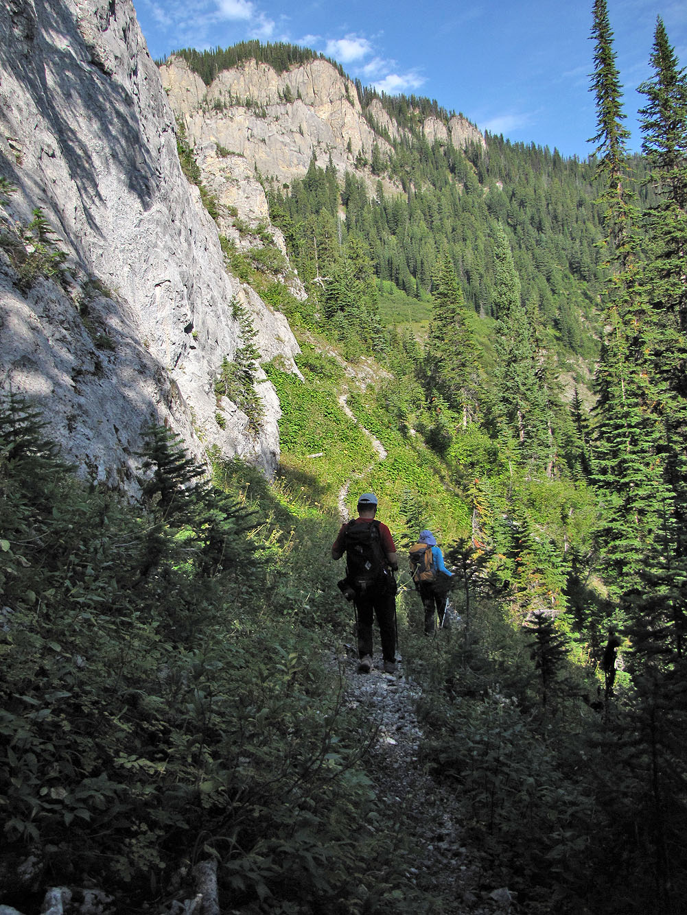
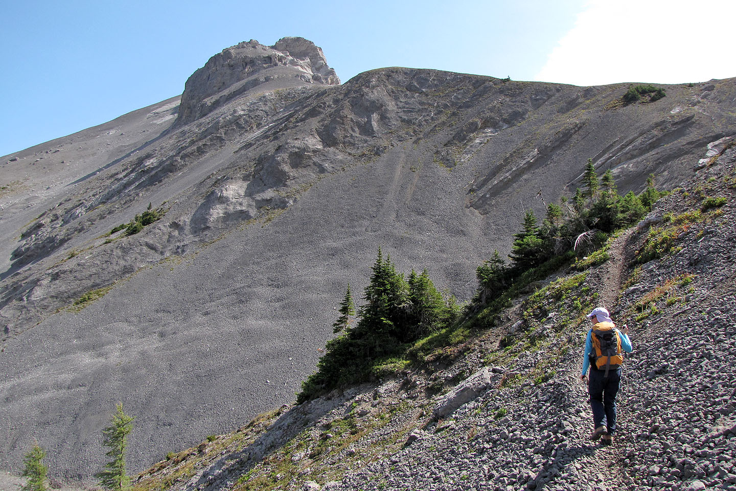
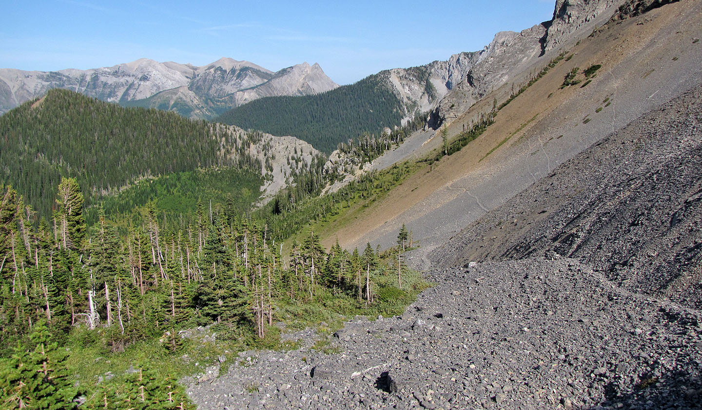
The trail climbs alongside cliffs
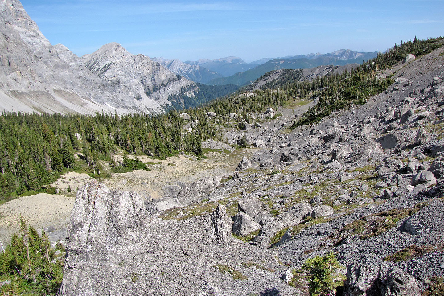
Looking down at the basin we crossed
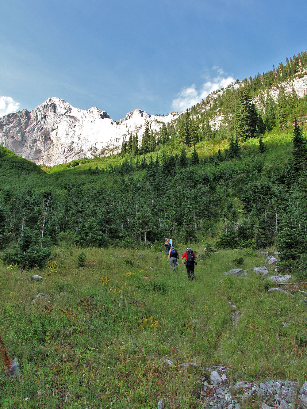
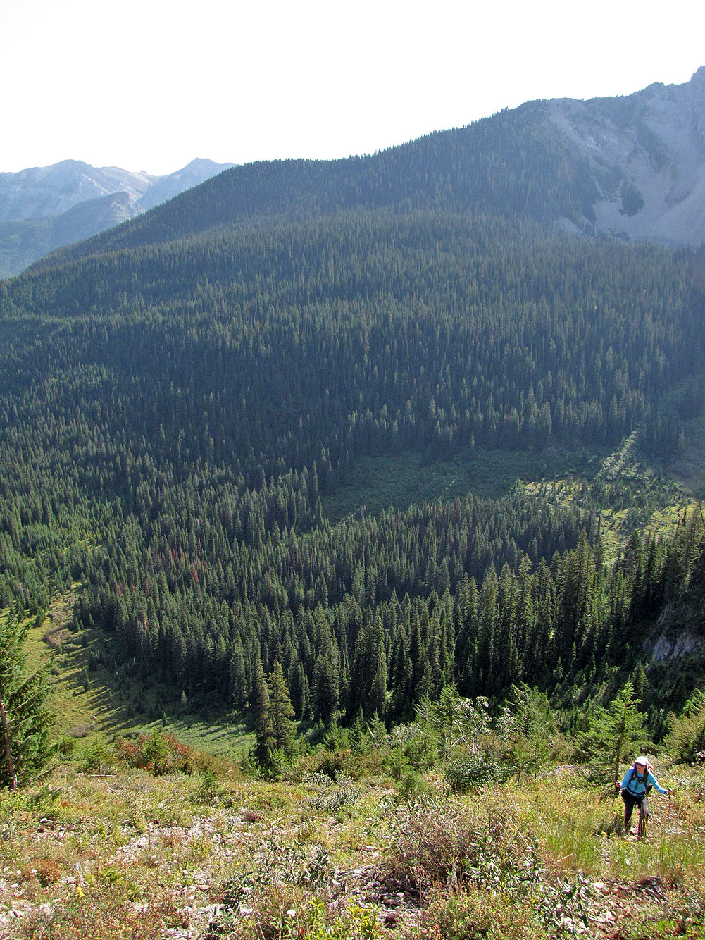
Views appeared after the trees begin to thin
Mount Bisaro left
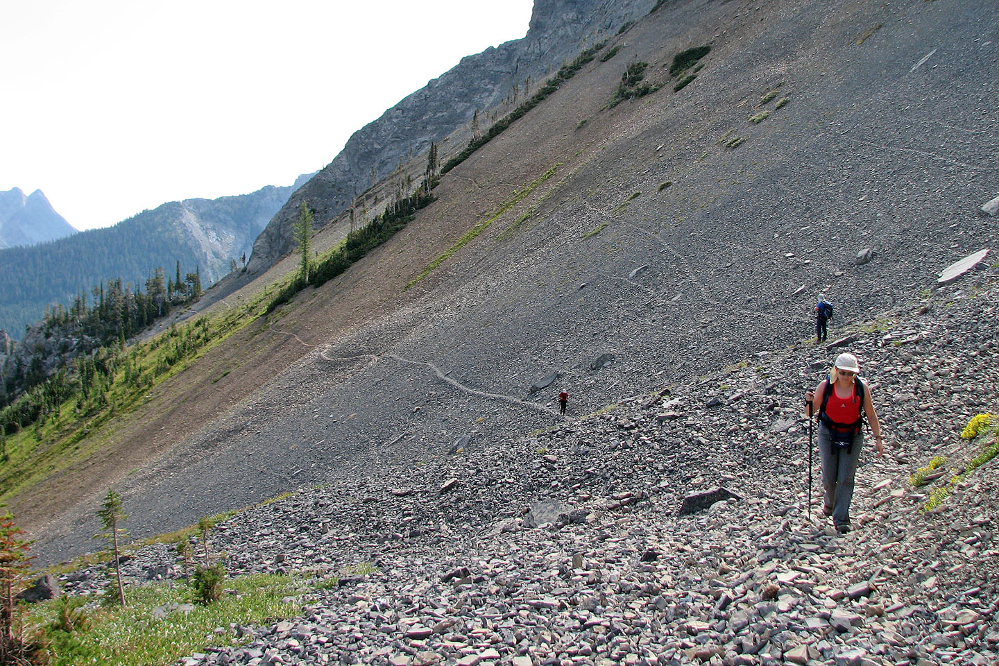
Looking back along the trail
No matter how many corners we turned there always seemed to be another one!
Reaching yet another corner
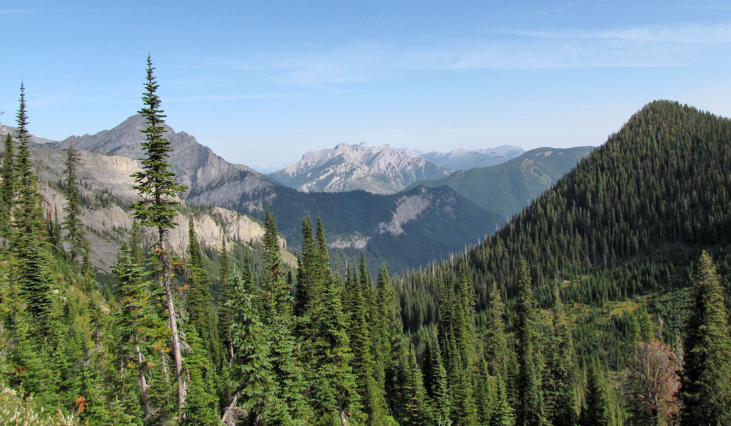
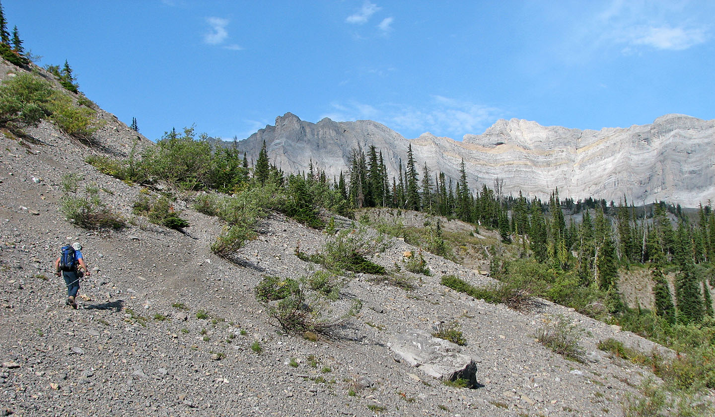
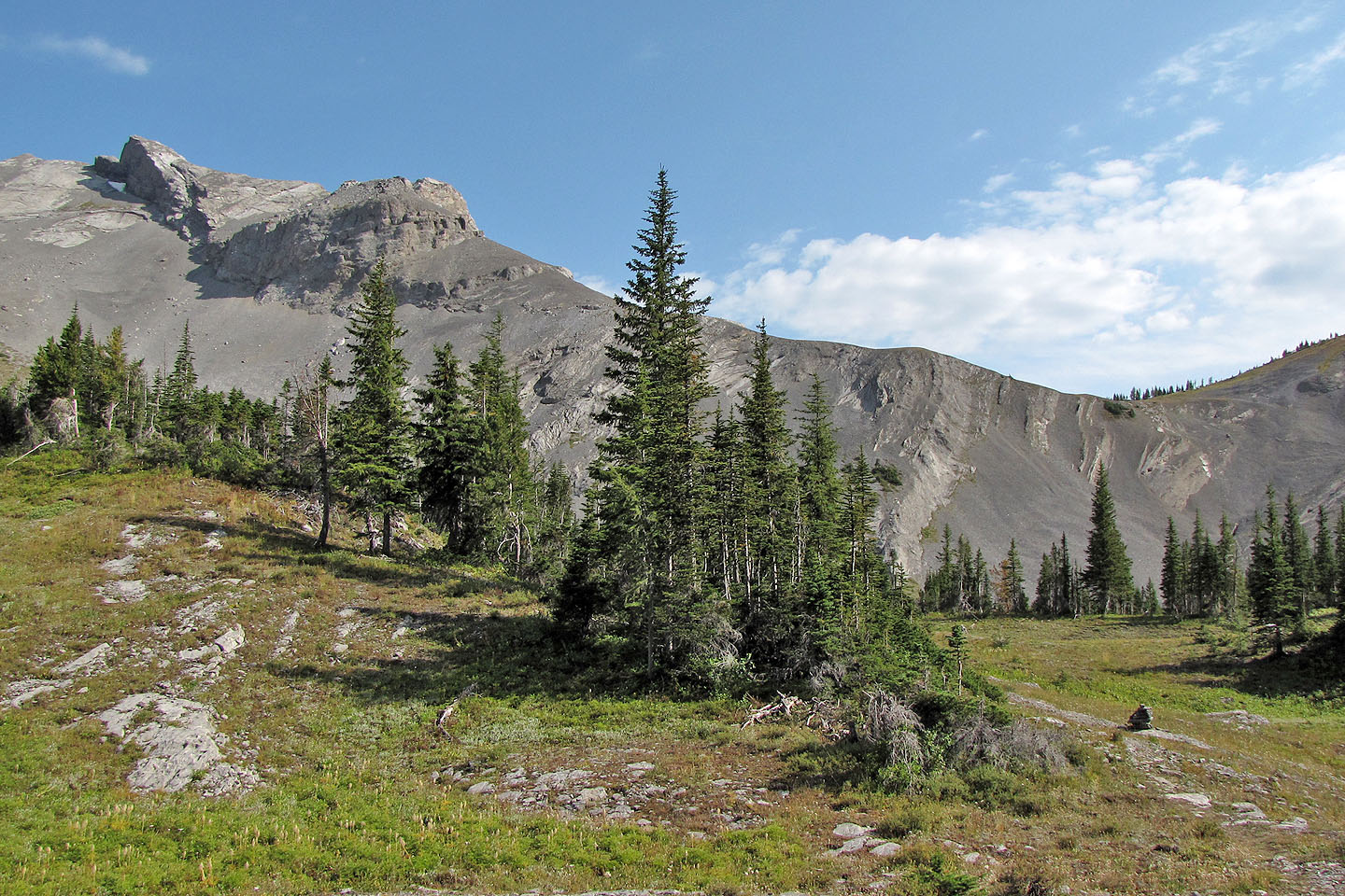
Looking north at a unnamed peak in the centre
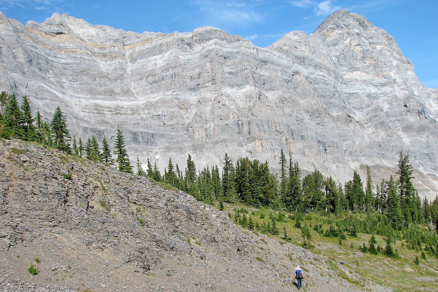
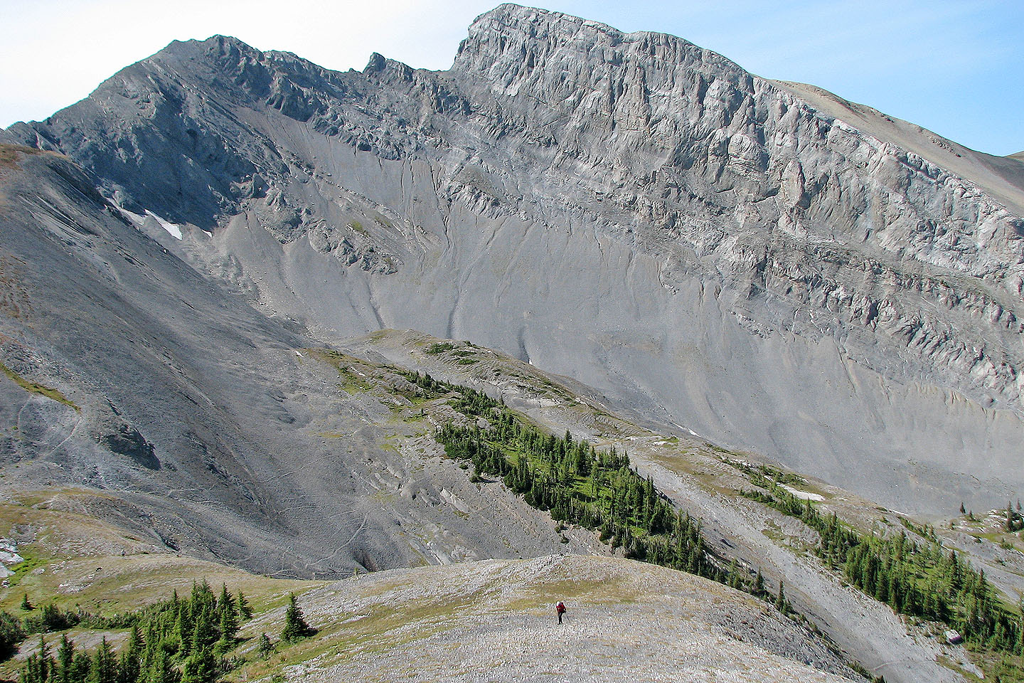
Impressive cliffs below Mount Bisaro
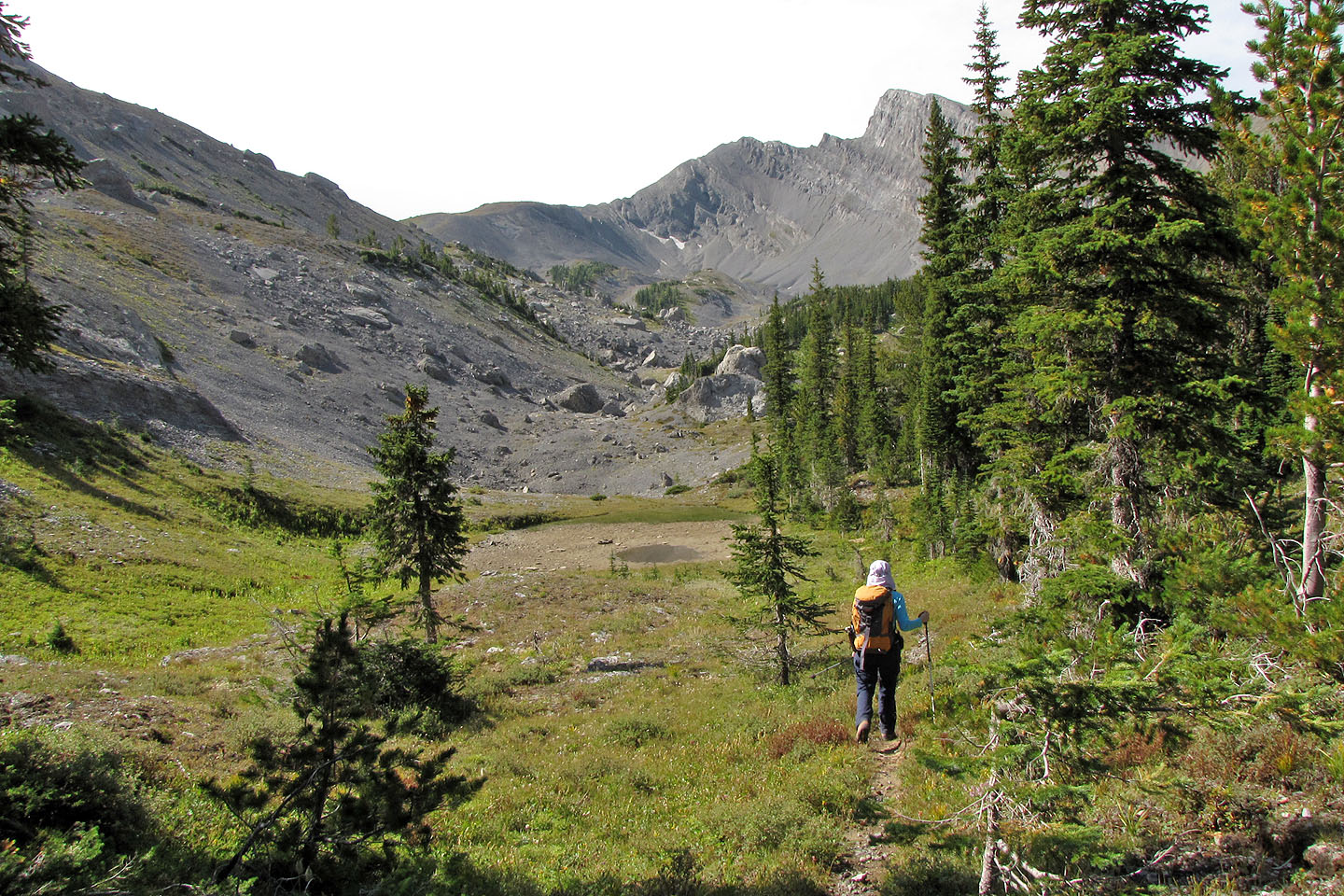
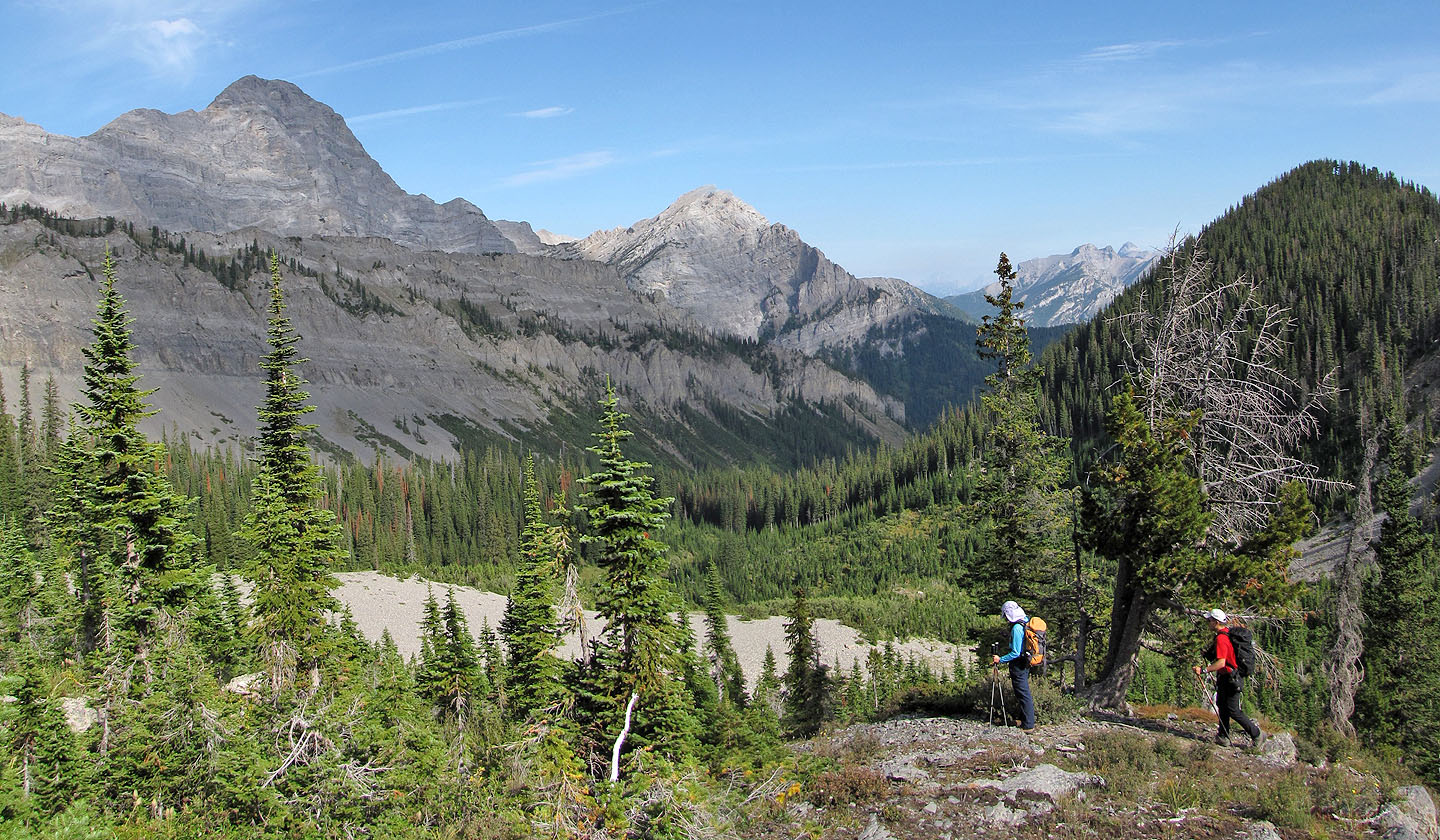
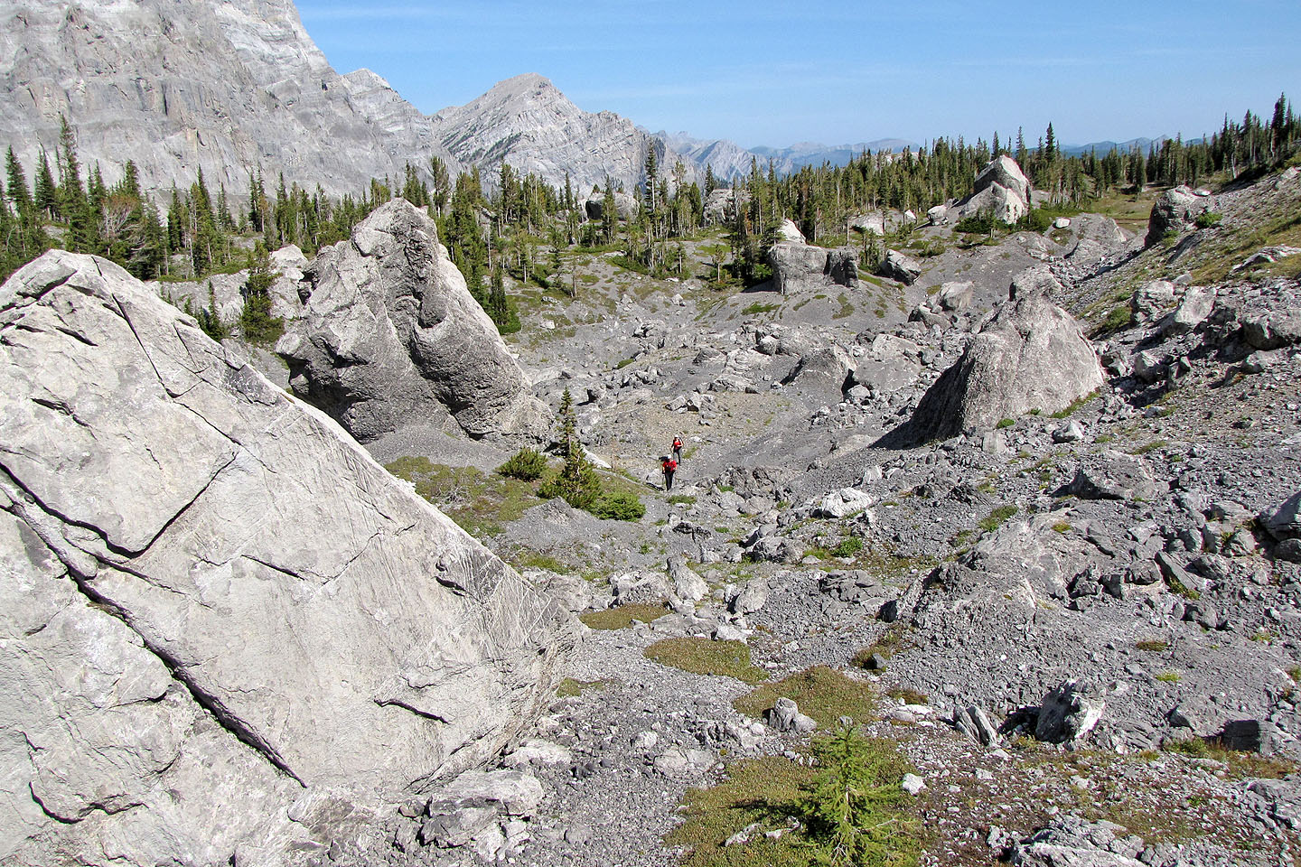
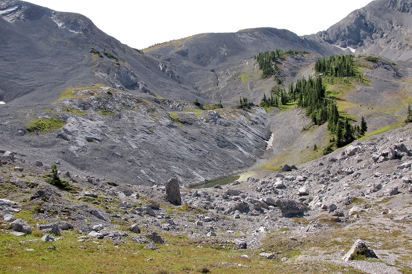
Sulphur Creek Basin
Hiking in the basin
Enormous limestone boulders strewn about the basin
Sonny and Kelly are dwarfed by some of the rocks
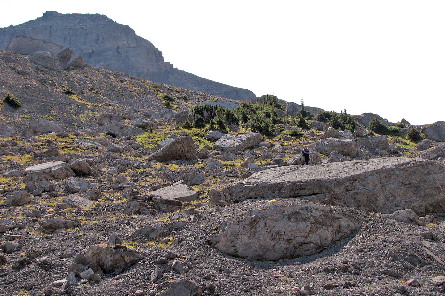
I paused on a huge slab
Looking back
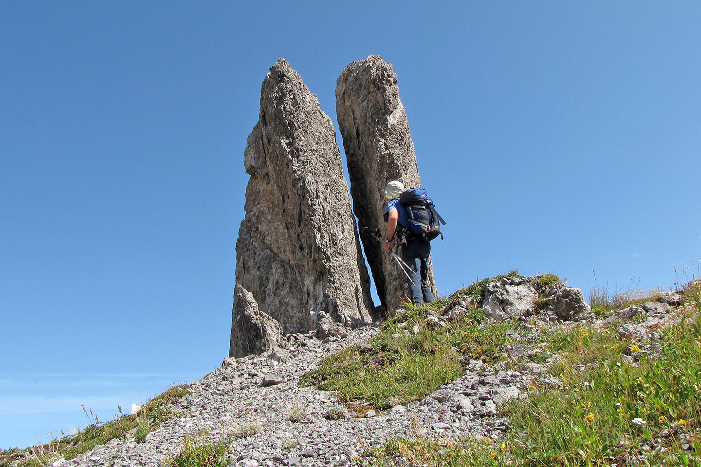
What appear to be pinnacles are rock blades a couple of metres wide
The saddle is on the left
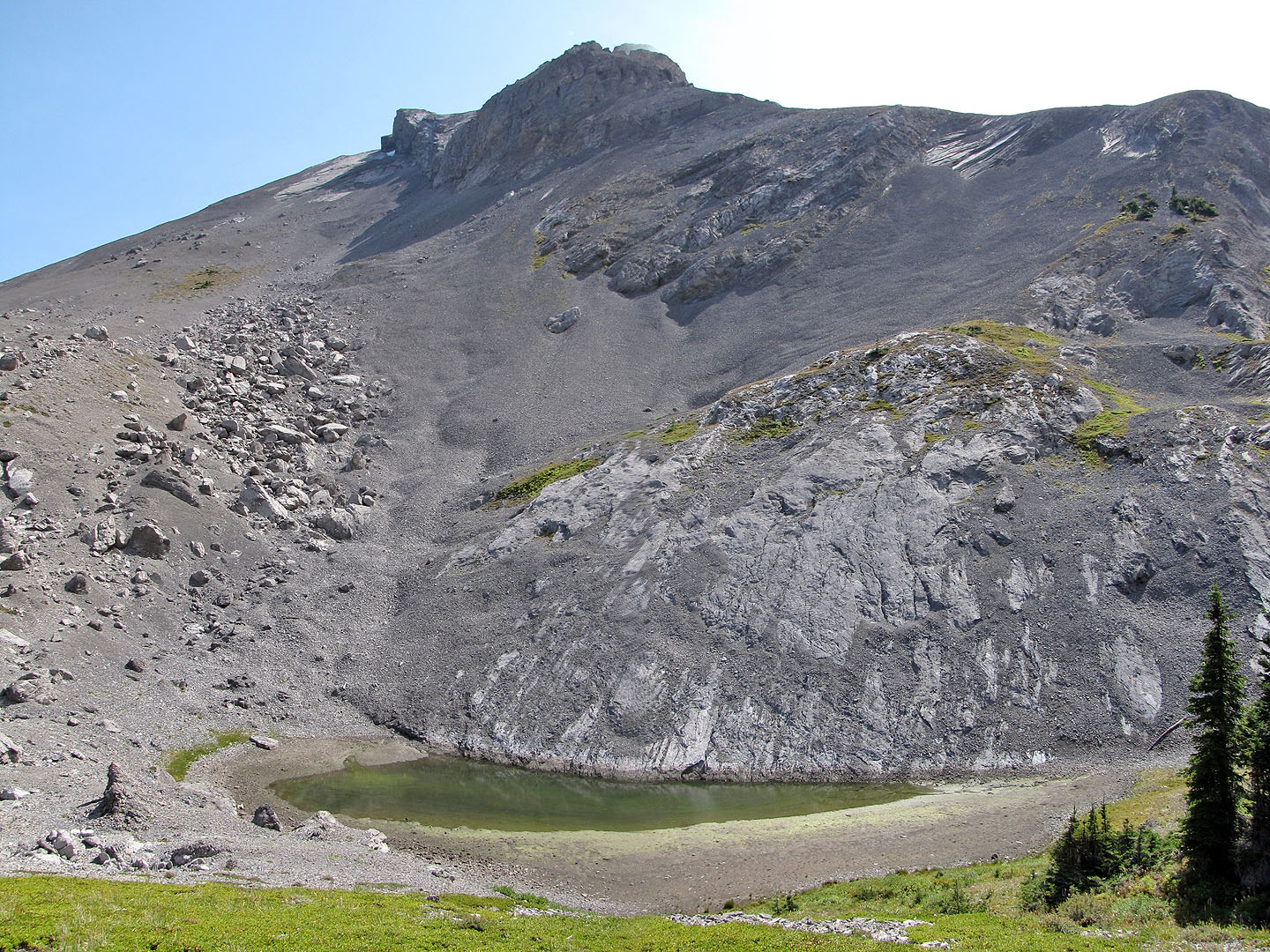
Tarn below the saddle
Looking back
A cairn marks the way to the saddle
Hiking to the saddle
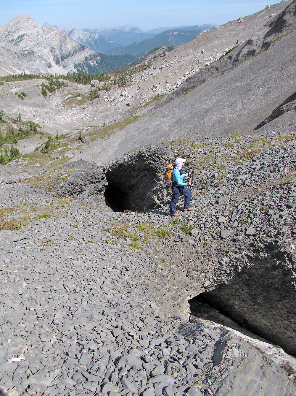
The trail runs between two sinkholes
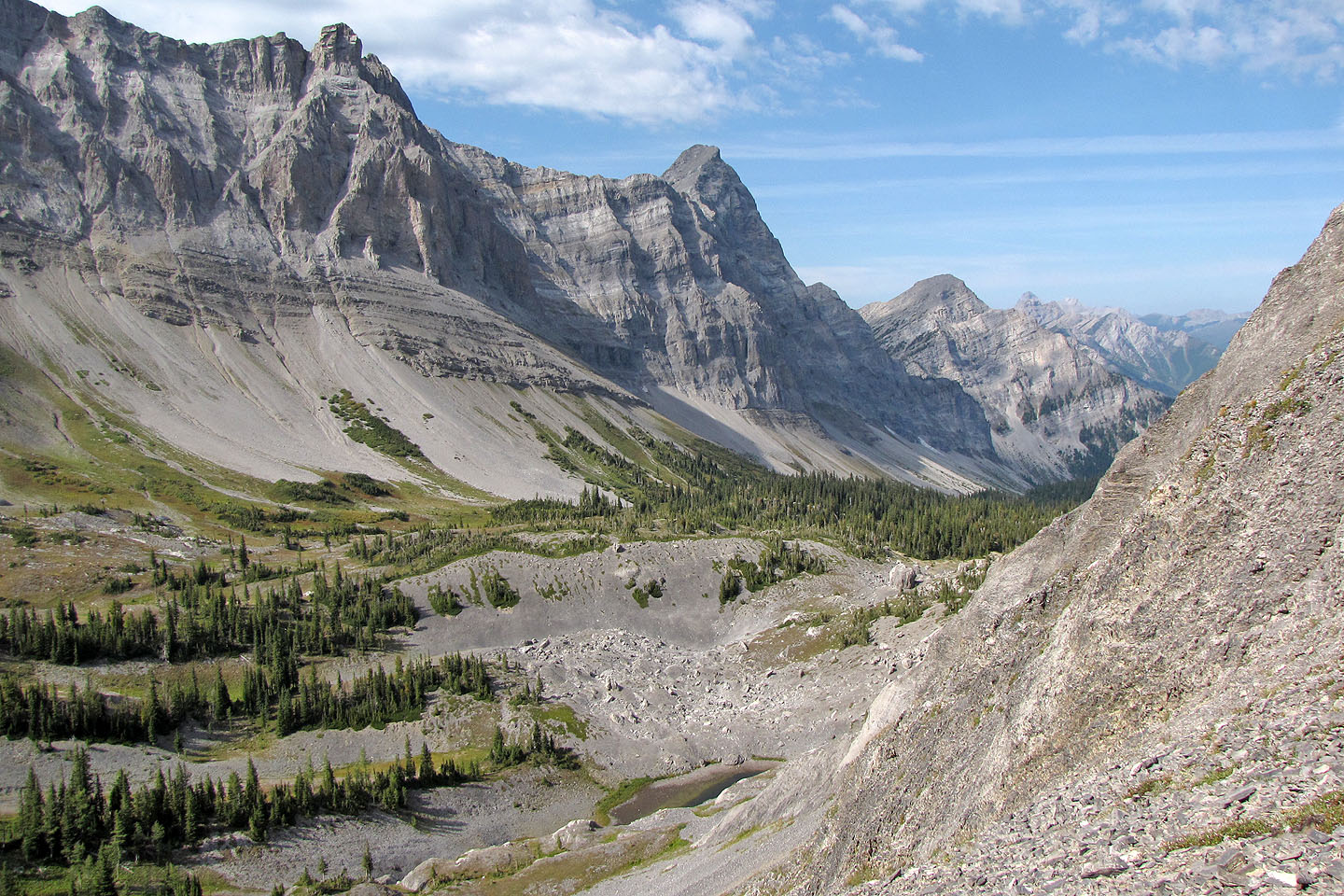
Looking back down the valley. Mount Bisaro (centre).
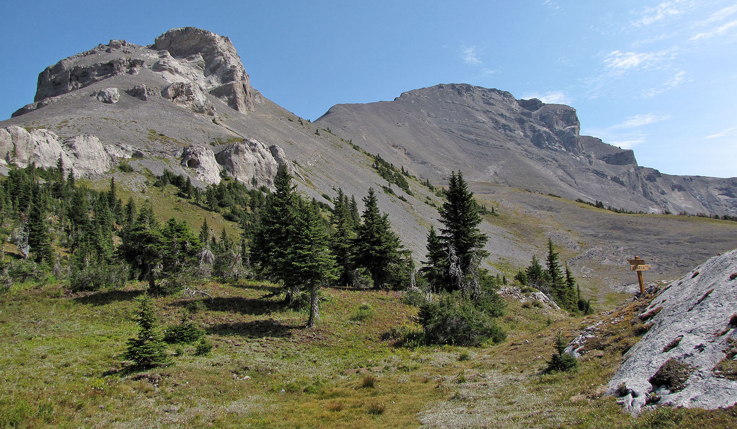
The trail cuts below the cliffs and leads to the high point on the right right (mouse over
to read the sign)
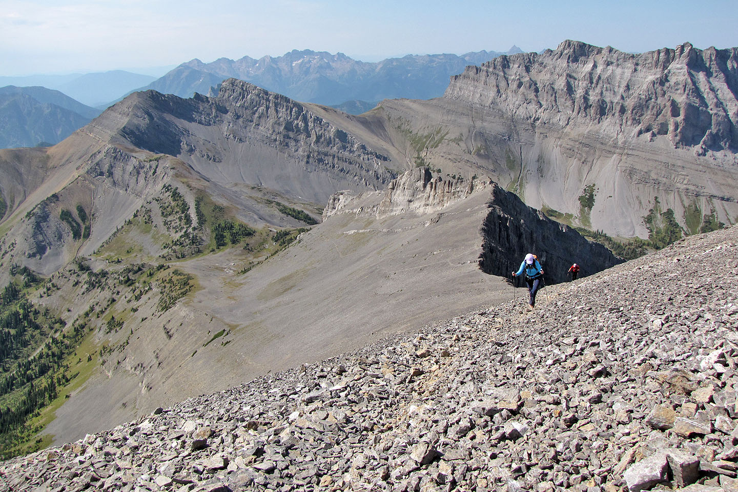
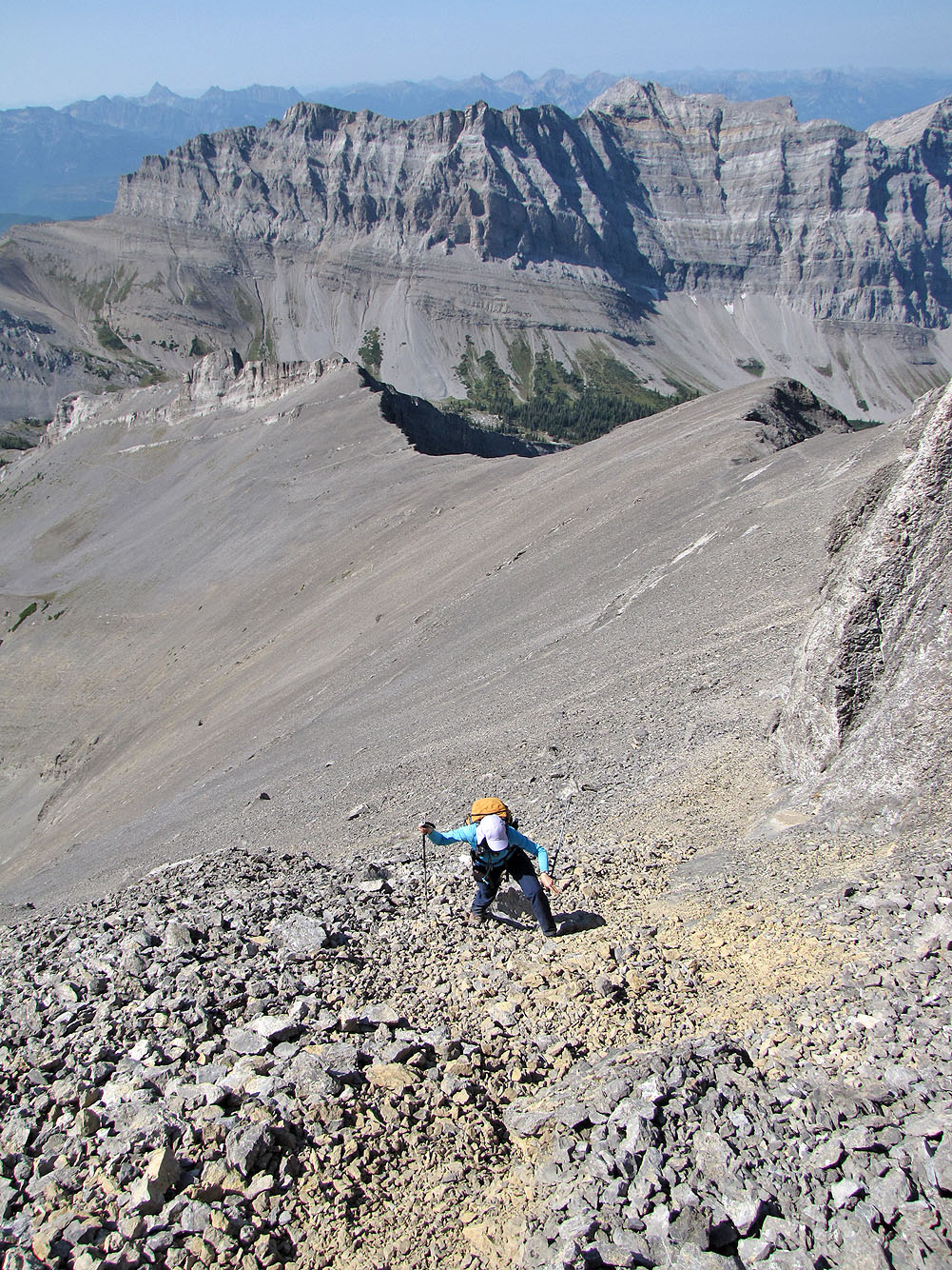
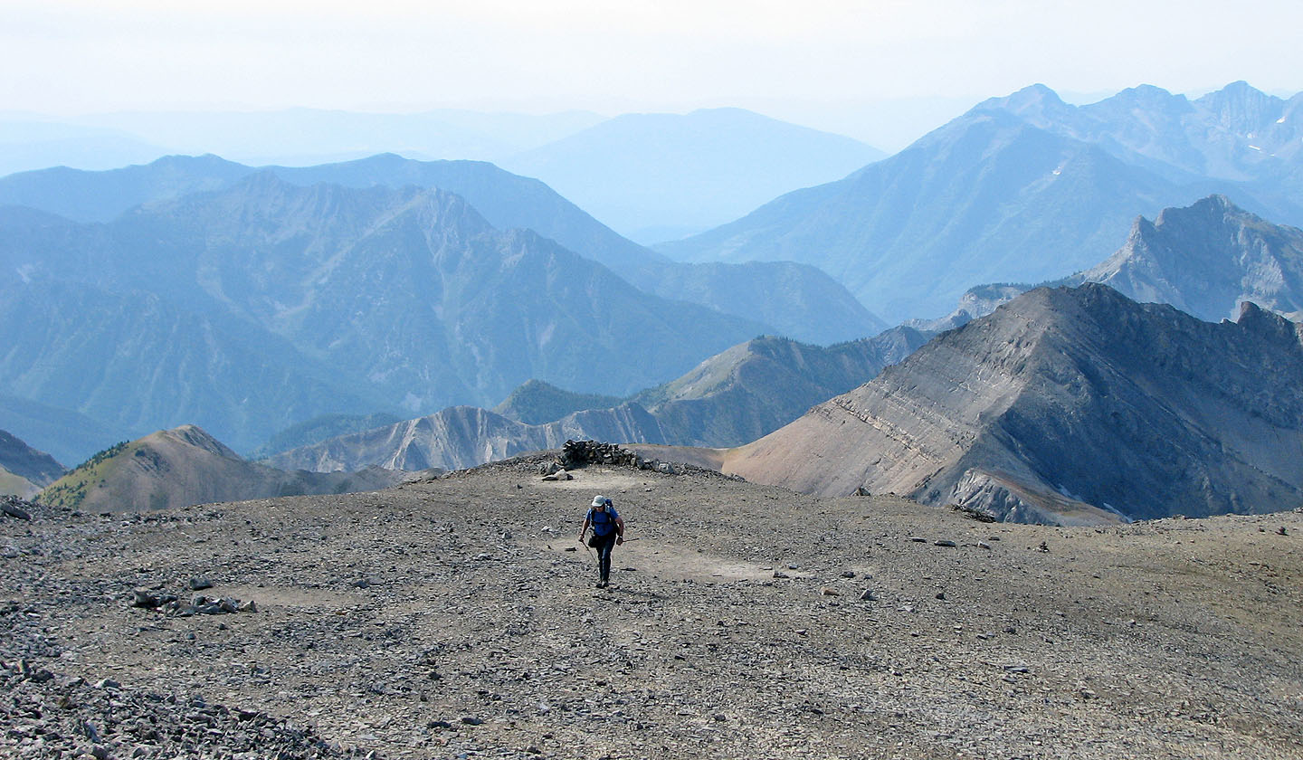
Starting up from the saddle
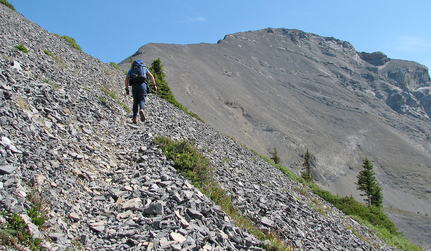
A good trail leads to the top mouse over to look back)
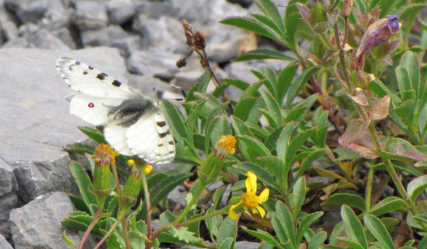
Unknown butterfly
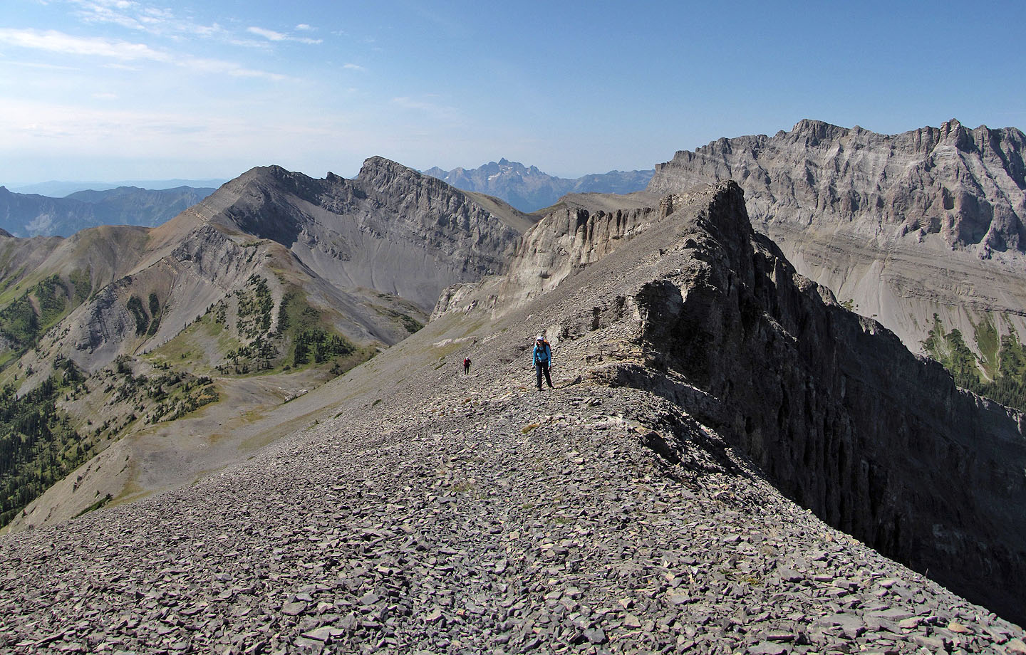
We reached the ridge
Dinah and I stayed on the trail
Sonny took the crest
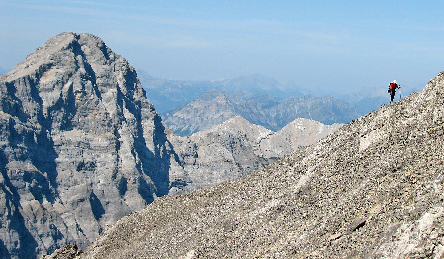
Just before the summit the trail steepens
Mount Proctor centre
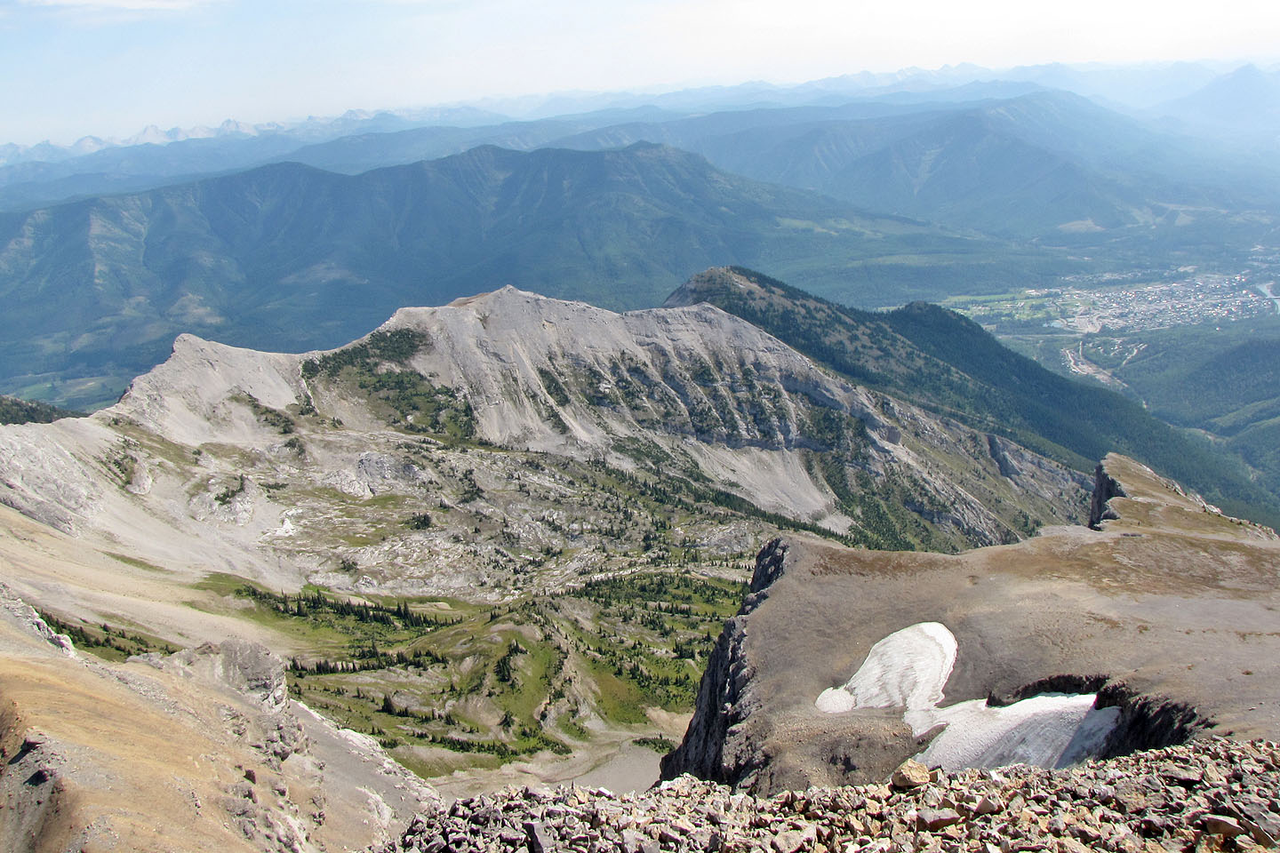
Looking southwest down at the valley
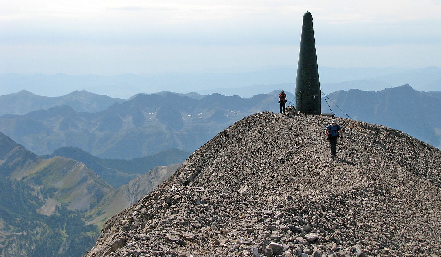
A radio repeater stands a short distance from the summit
There's a breakwall near the summit
Heading back along the trail. Mount Hosmer and Ghost Rider in the centre (mouse over).
82 G/11 Fernie