bobspirko.ca | Home | Canada Trips | US Trips | Hiking | Snowshoeing | MAP | About
Emerald Peak
Yoho National Park, B.C.
August 4, 2012
Distance: 10.3 km (6.4 mi)
Cumulative Elevation Gain: 1280 m (4199 ft)
In Snowshoeing in the Canadian Rockies, Nugara describes a terrific route up Emerald Peak and a fast descent, but why wait until the mountain is buried under snow? We wanted to do it now, in the summer.
Dinah and I hiked up Hamilton Lake trail almost to the lake. About 350 m before the lake where the trail runs downhill, we started up the slope. Being rife with loose shale and dense bushes, it may not have been the best place, but we didn't want to stay on the trail and lose elevation. (From what I've heard afterwards, it's probably easier to go all the way to the lake.)
After some steep climbing and bushwhacking, we angled left and popped onto an open slope (296004). From there the way was obvious: on our right, a corridor between rock slabs and forest led to the ridgeline.
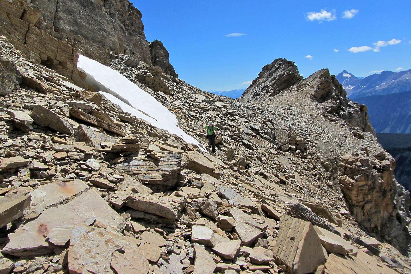
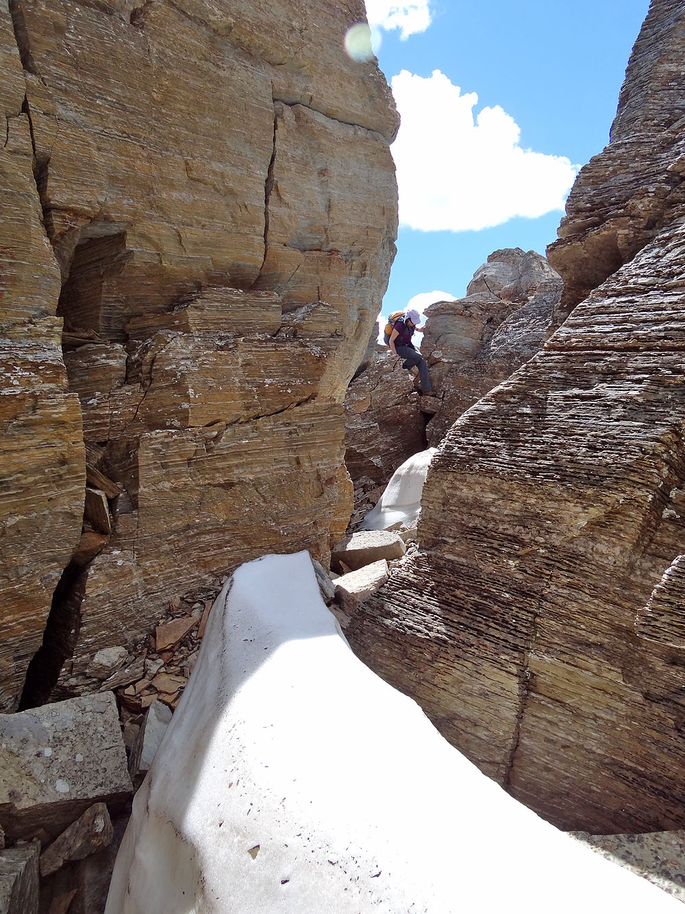
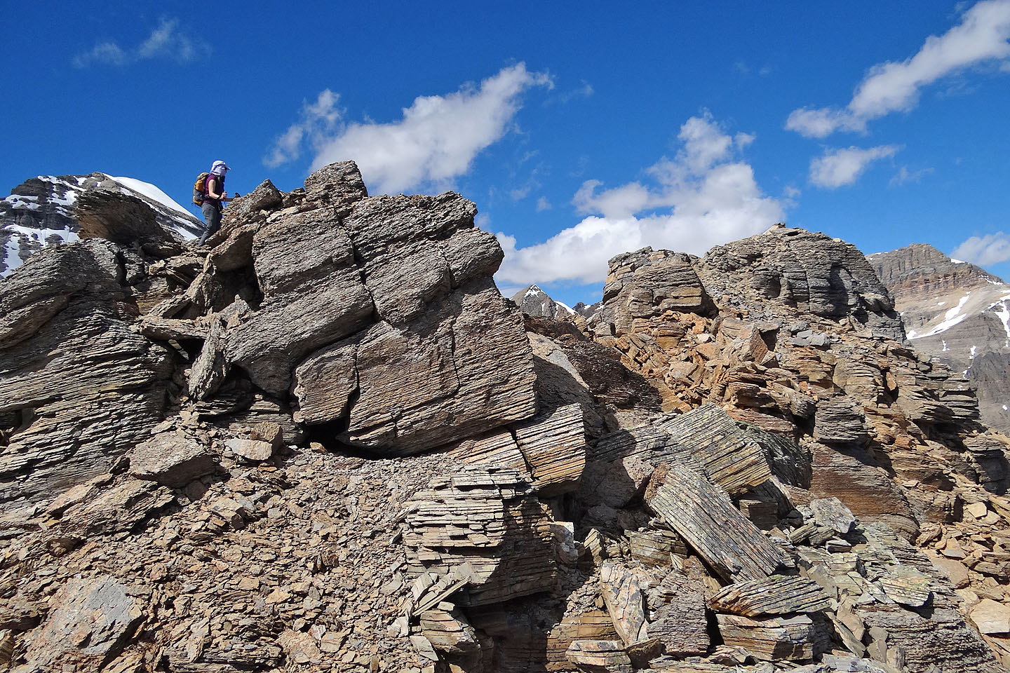
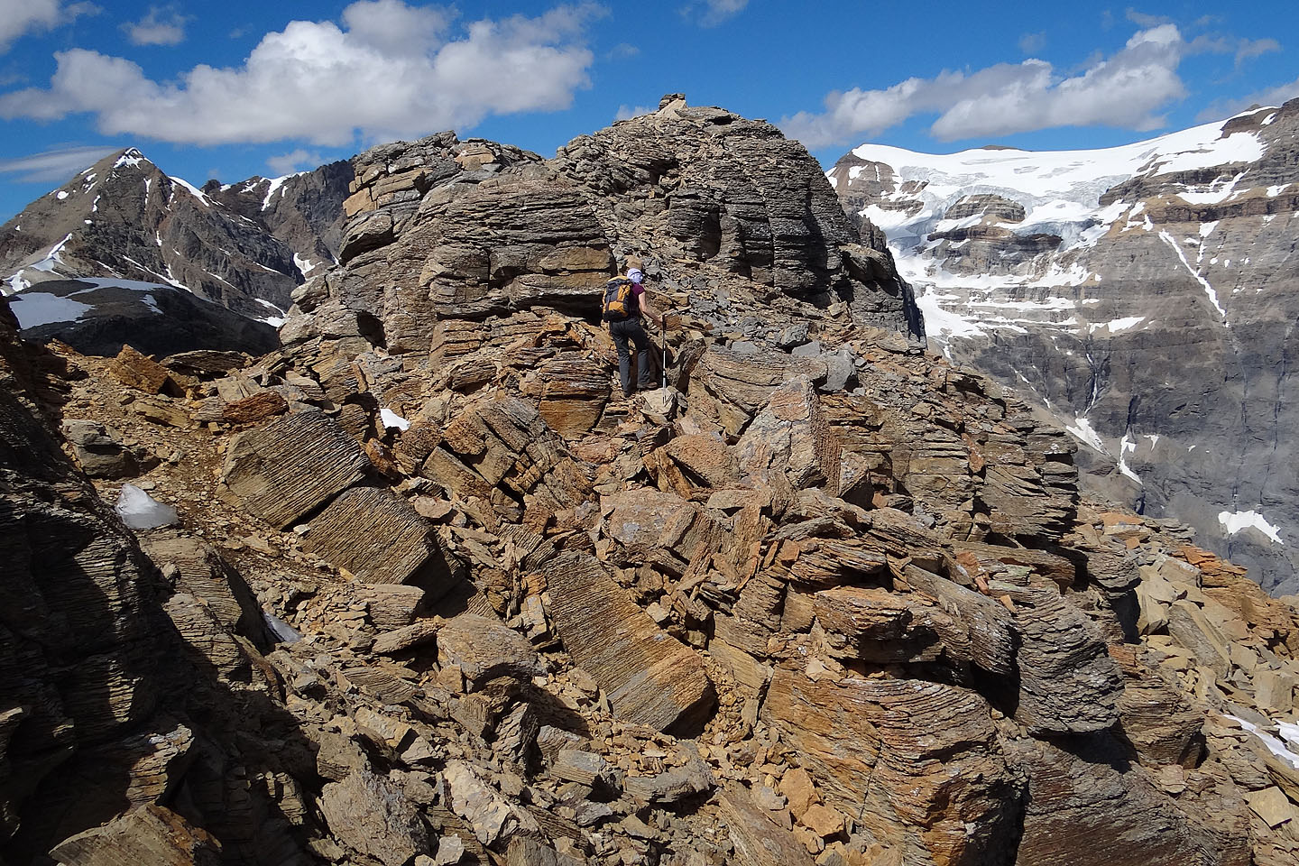
Once on the ridge, one can hike to the top of the false summit or not, but it's a good place to view the start of the summit ridge, a rocky backbone leading to the summit 400 metres away. From the false summit, it's easy to discern the notch in the ridge, an obvious place to begin the traverse. This wasn't a ridgewalk. Enormous boulders lay jumbled on the ridge and while fascinating to behold, they compelled us to scramble at times, although nothing difficult or exposed.
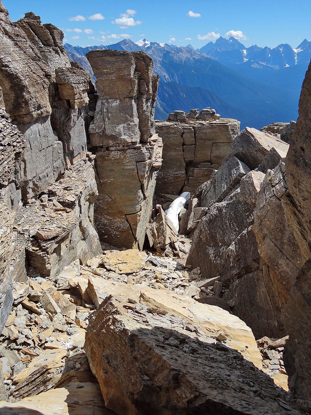
After passing some pinnacles next to the notch, the next scene jarred us. Towering rocks appeared to block the way. At first glance, it looked impossible to proceed, but on closer inspection, it seemed merely hopeless. We could continue by dropping down into a chasm between the rocks, but it would leave us farther below the sheer rock. We would need a miracle to get to the next ridge section. So I went looking for a miracle.
I dropped down a few metres into the chasm. In the confines of the chasm, loose shale clattered underfoot and the walls loomed well above me on either side. I called Dinah to come down. Even if the chasm dead-ended, it was pretty cool to see.
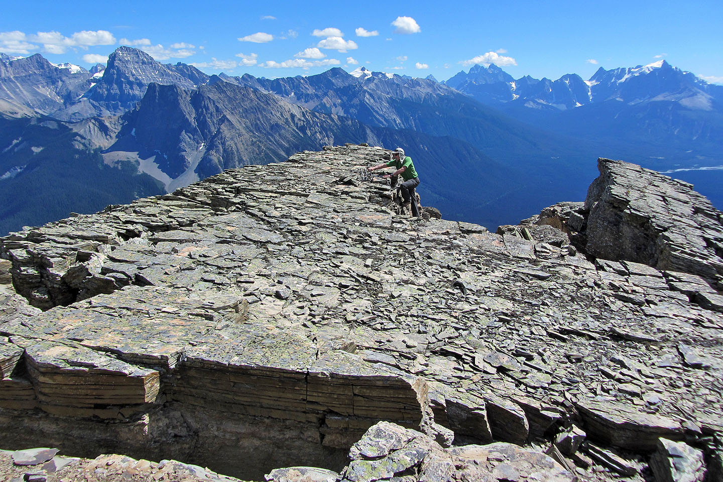
The chasm, maybe 50 m long, ended in a shallow cave, but I went ahead anyway. And that's where I found a miracle. At the back of the cave, going straight up, was a tunnel! With my pack on, it was a tight fit, but I squirmed up the shaft, a 3-metre climb. After crawling out of the hole, and after a bit more scrambling, I planted my boots on a huge flat rock, actually part of a humongous fragmented boulder. From there I got my first view of the summit. After a few minutes of easy scrambling, Dinah and I were standing on top of Emerald Peak.
We spent several minutes taking pictures and looking around before we turned our attention to the descent route, a broad, steep avalanche slope under the summit. This corridor was so utterly straightforward, it could be followed blindfolded, although I don't advise it. As an ascent route, it's little more than a steep hike, but the loose rock made it tedious.
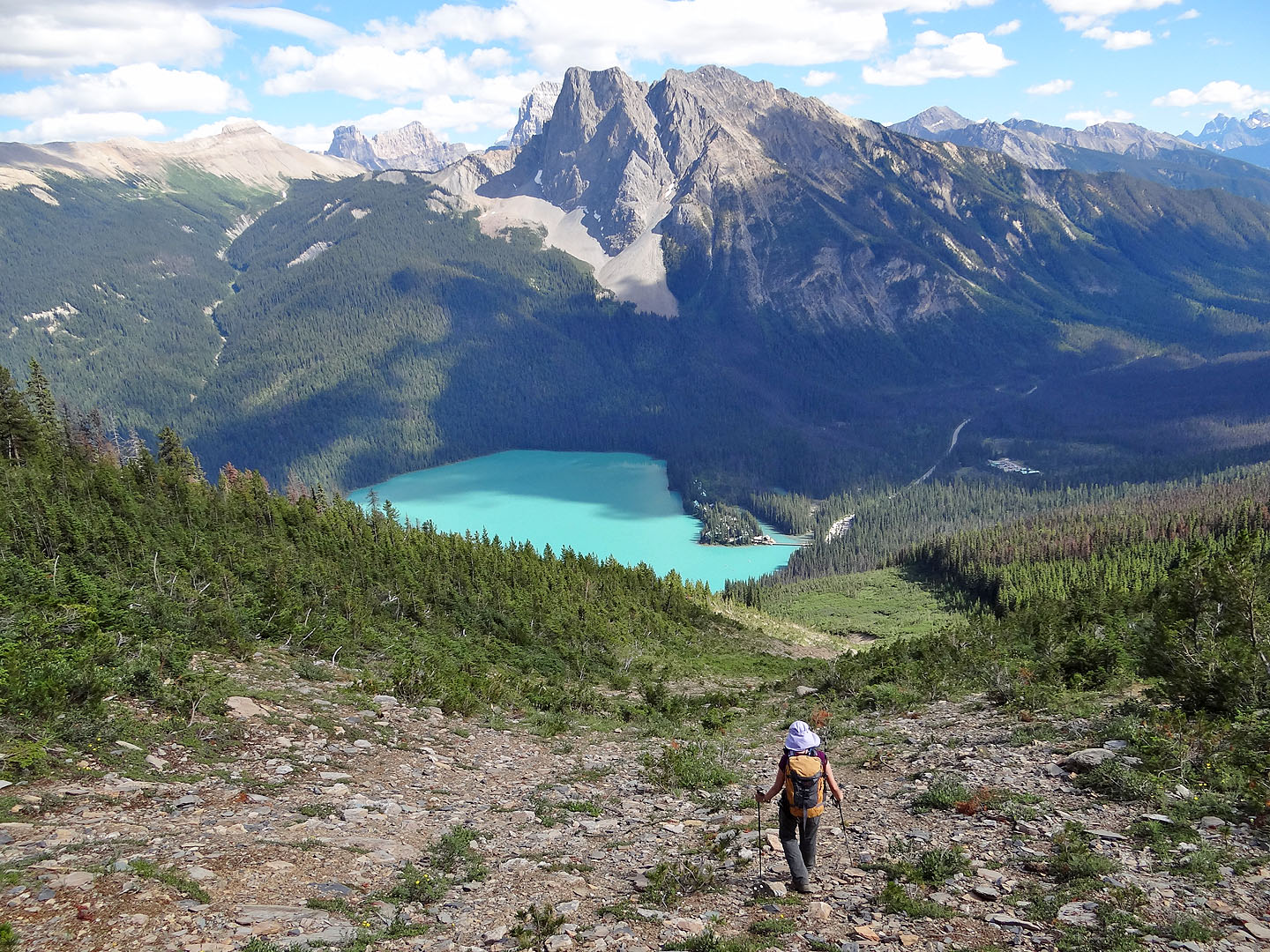
We scooted down the rubbly slope just below the summit and then picked our way down the steep avalanche slope, looking for fast scree to descend while aiming for the azure waters of Emerald Lake far below. We continued dropping down until we reached a fork 400 m above the lake. The avalanche slope, dense with scrub, continued on our right, but on our left, a vegetation-free drainage beckoned. We took the drainage.
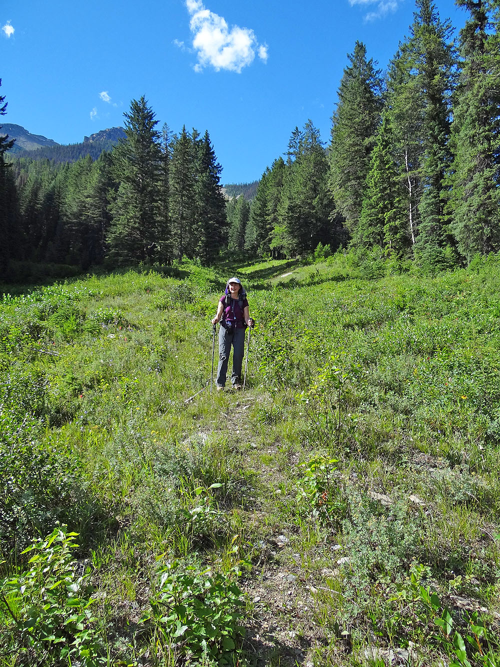
Coming down the avalanche slope our boots often skidded on the loose rock, but we fared no better in the stony drainage. We took our time, careful not to twist an ankle. Eventually the drainage flattened and then disappeared, ending in a flourish of magenta fireweed flowers just before Emerald Lake trail. Our descent, even with a ten-minute, mid-slope break, only took two hours. We strolled 400 m along the paved path to the parking lot. While threading through the throngs of tourists, most of whom would probably not even step off the path, Dinah and I felt smug just having climbed Emerald Peak.
View of Emerald Peak (centre) from the tea house
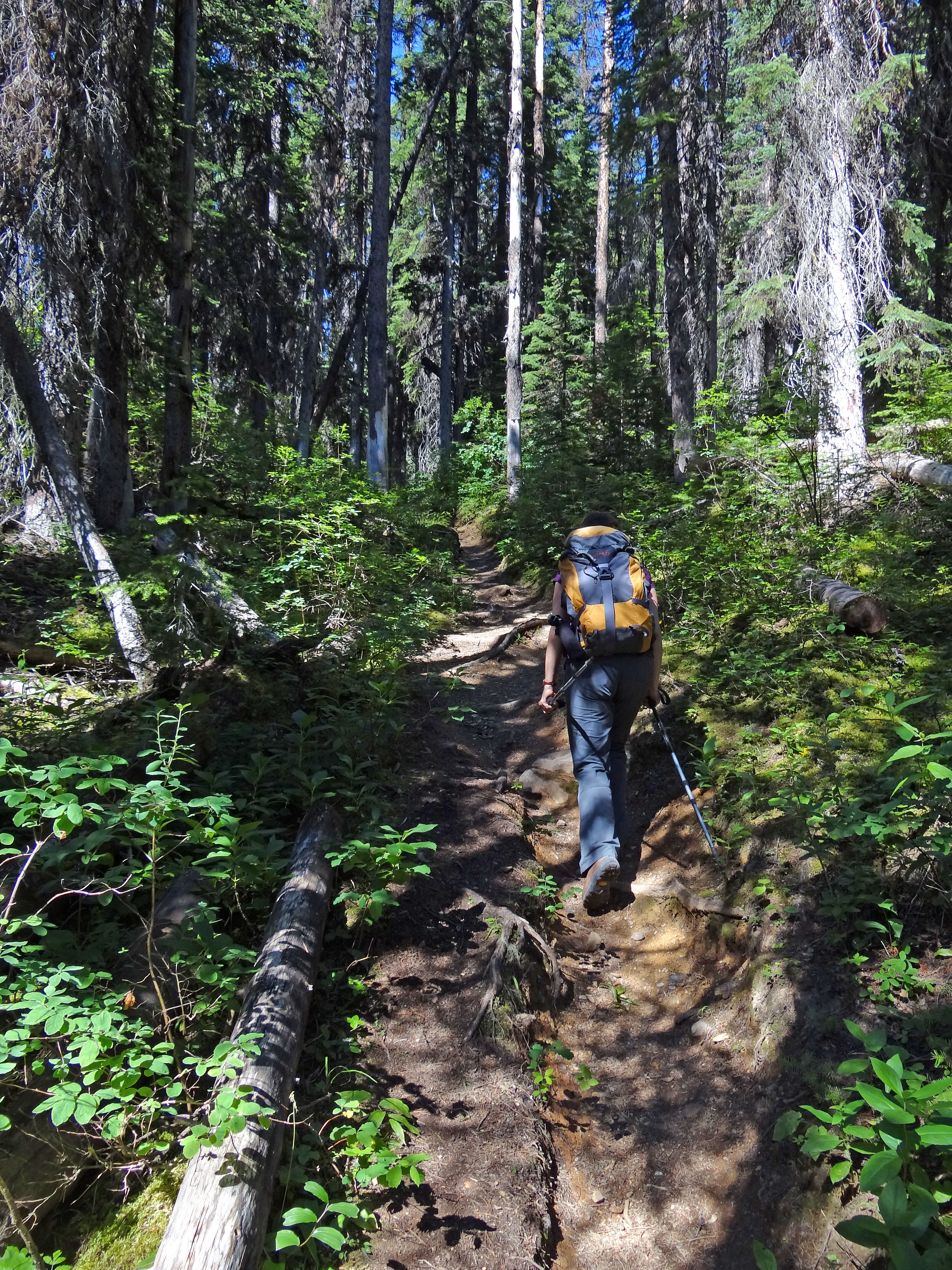
Hamilton Lake trail
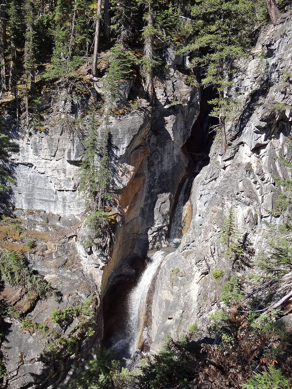
Waterfall
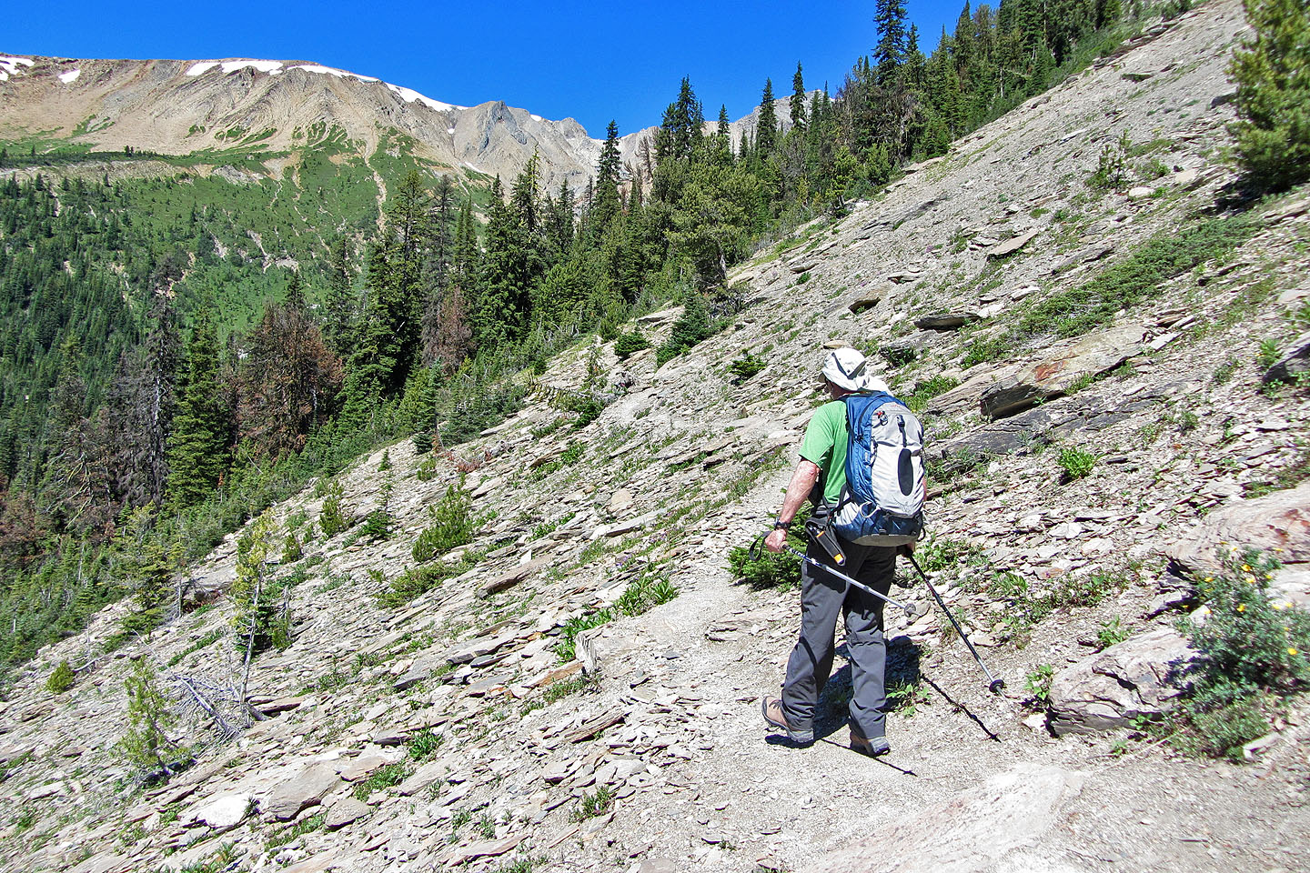
We left the trail shortly after passing this avalanche slope
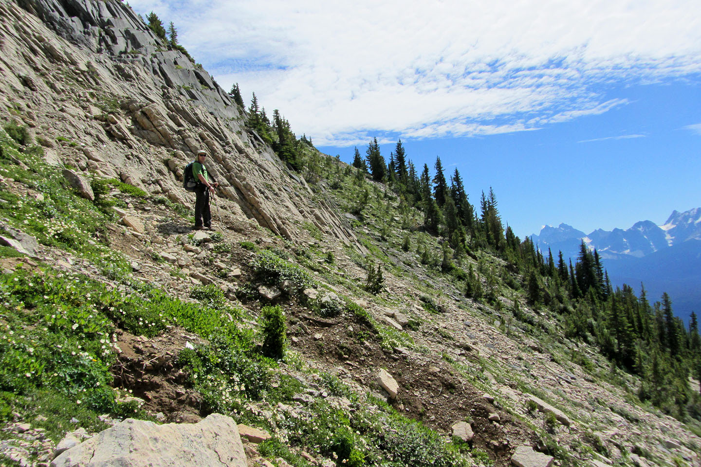
Ascending well above the trail
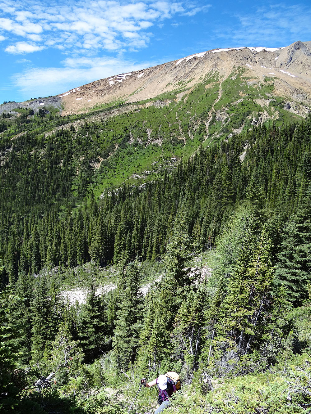
Heading to a spur that overlooks Hamilton Lake
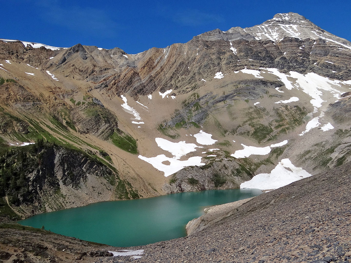 Hamilton Lake and
Mount Carnarvon
Hamilton Lake and
Mount Carnarvon
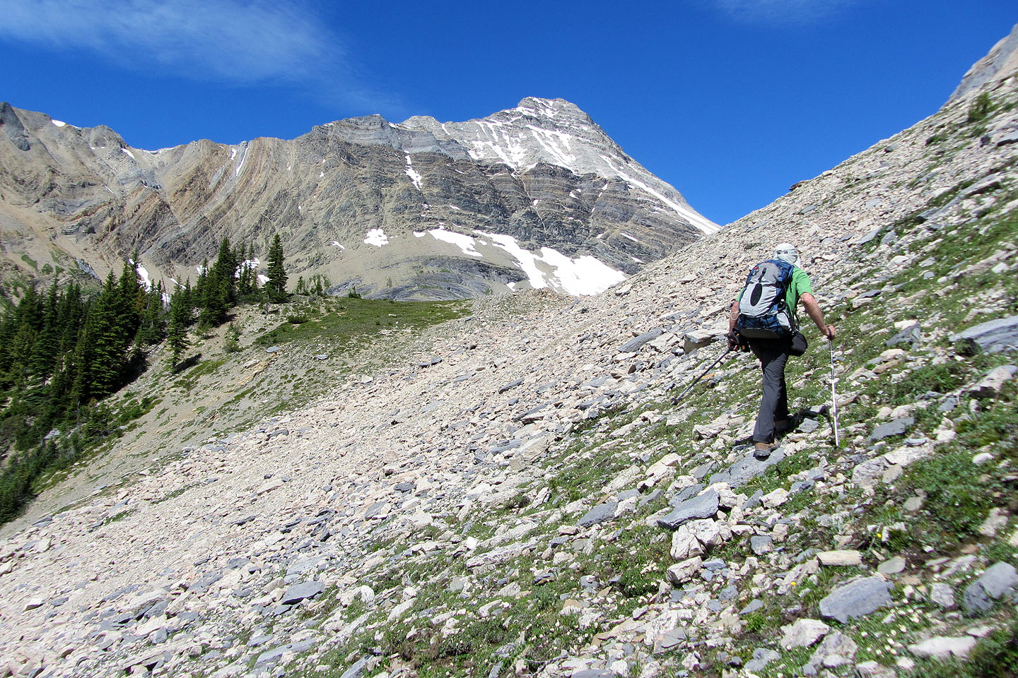
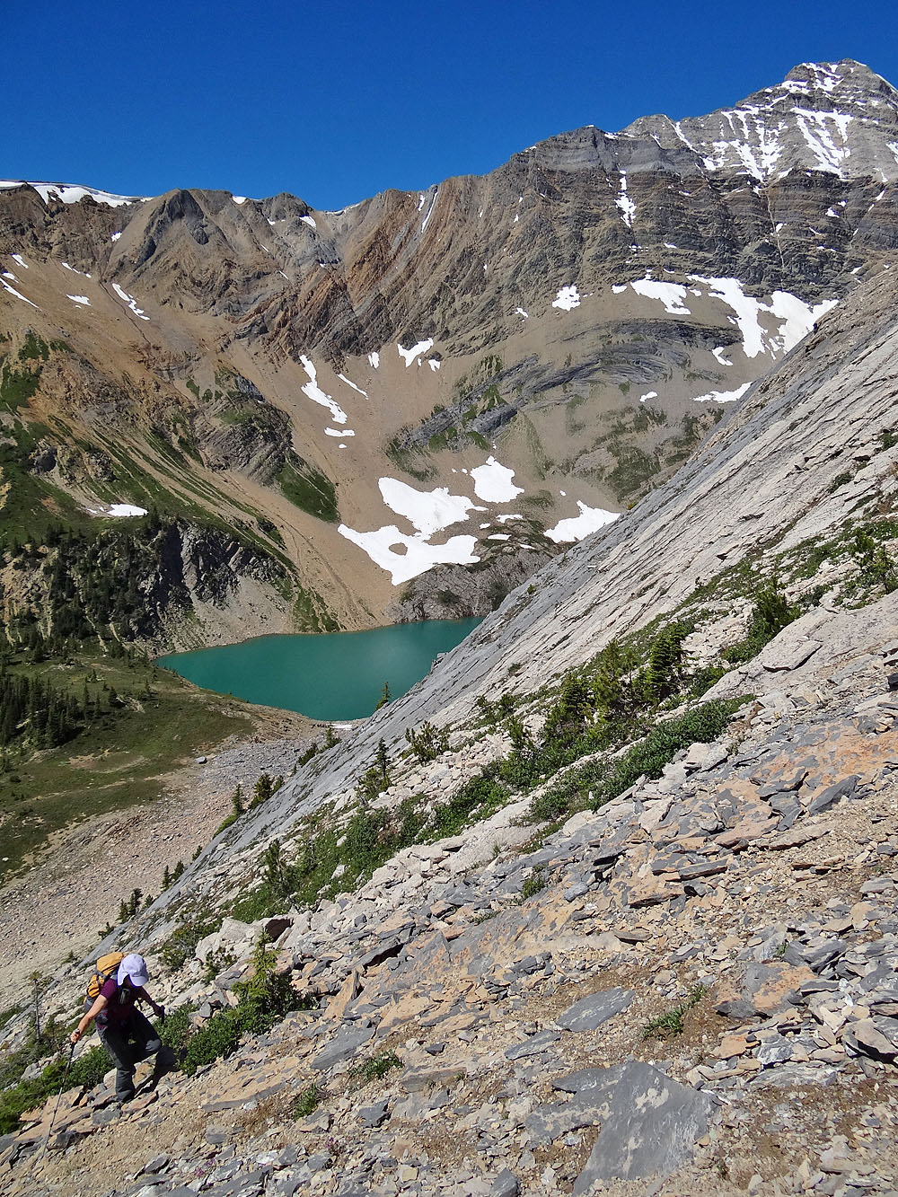
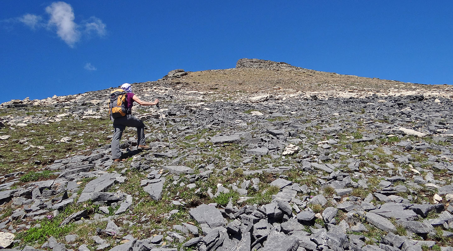
Heading to the ridge crest
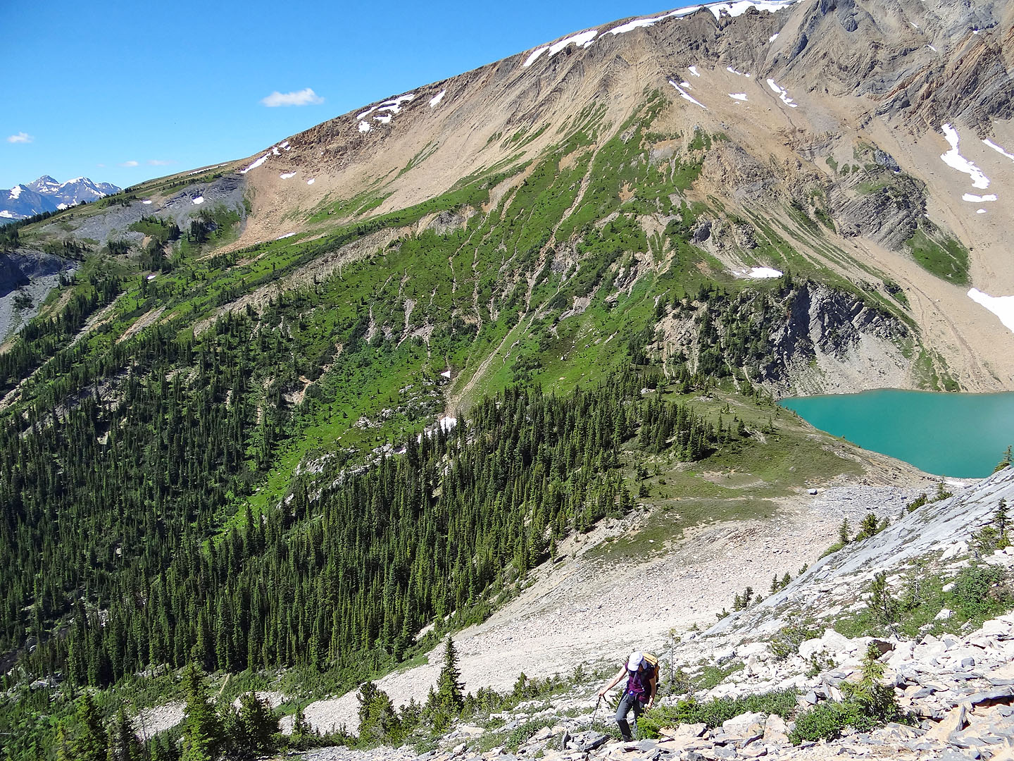
In retrospect, it might have been easier to hike up the trail farther and ascend the slope below
Dinah is about to join me on the ridge
Hiking to the false summit
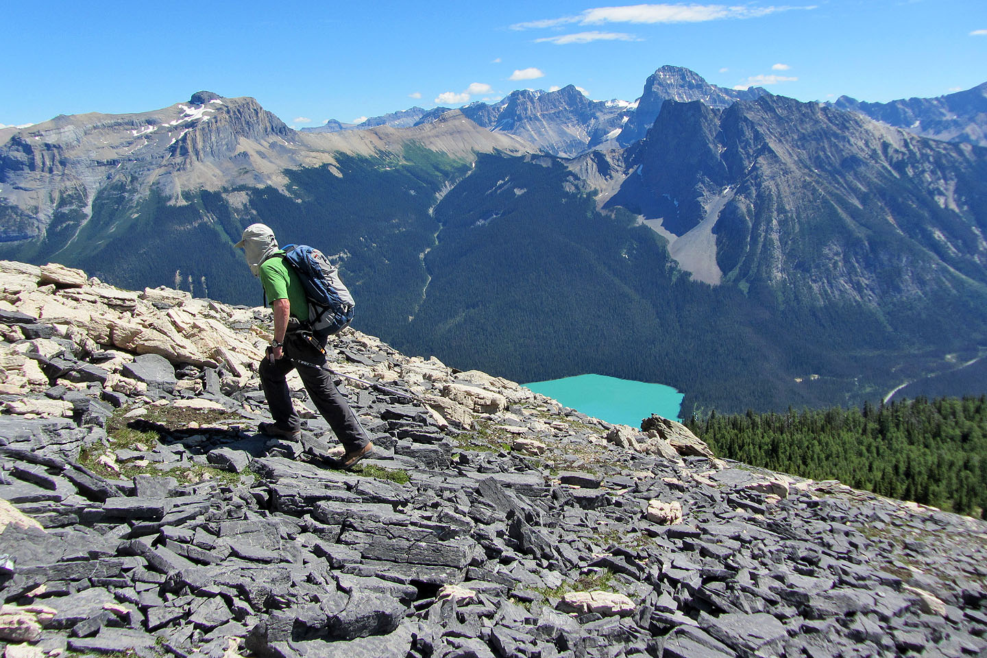
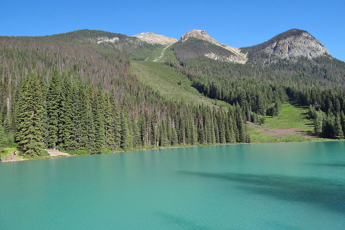
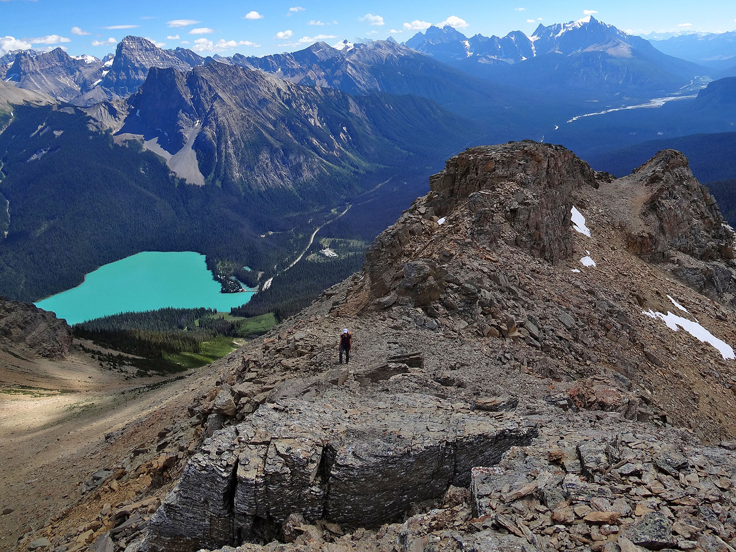
Emerald Lake comes into view
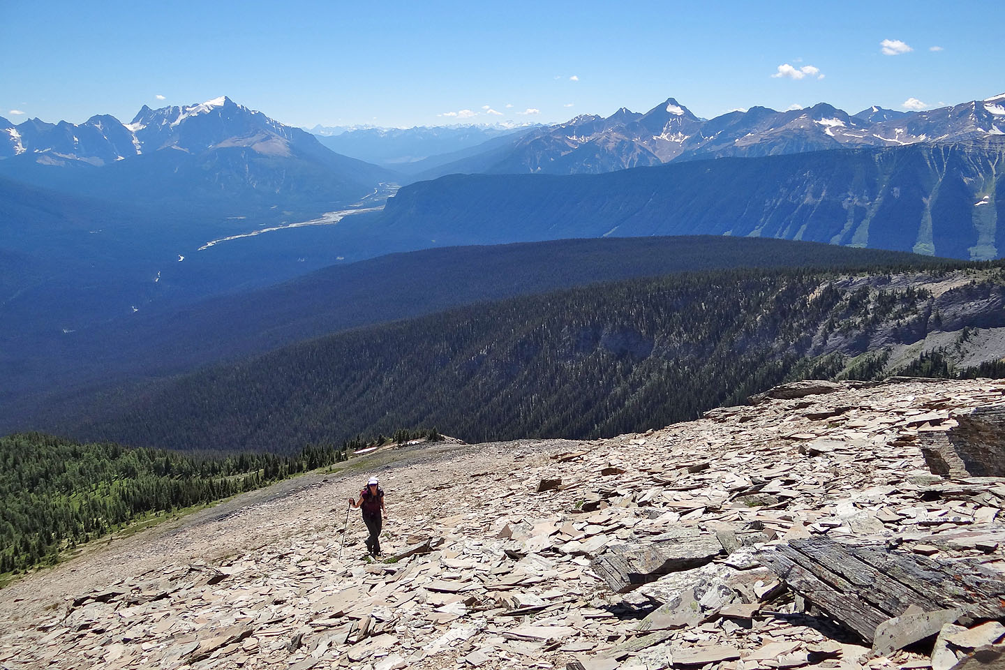
On the shale below the summit
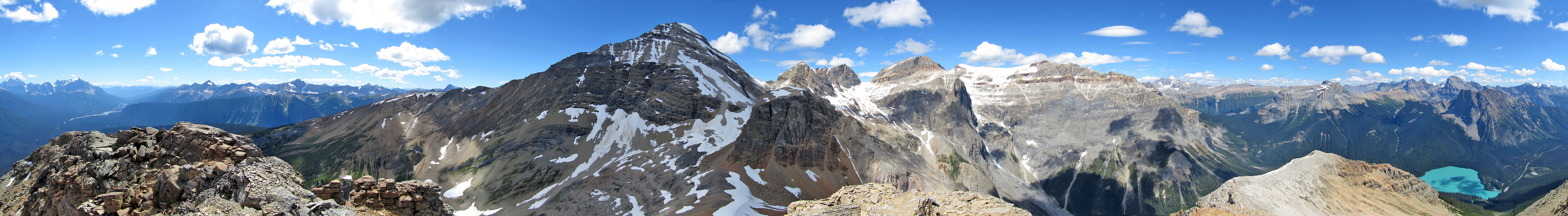
View from the false summit: we threaded through the notch and ascended the other side. The summit isn't
visible.
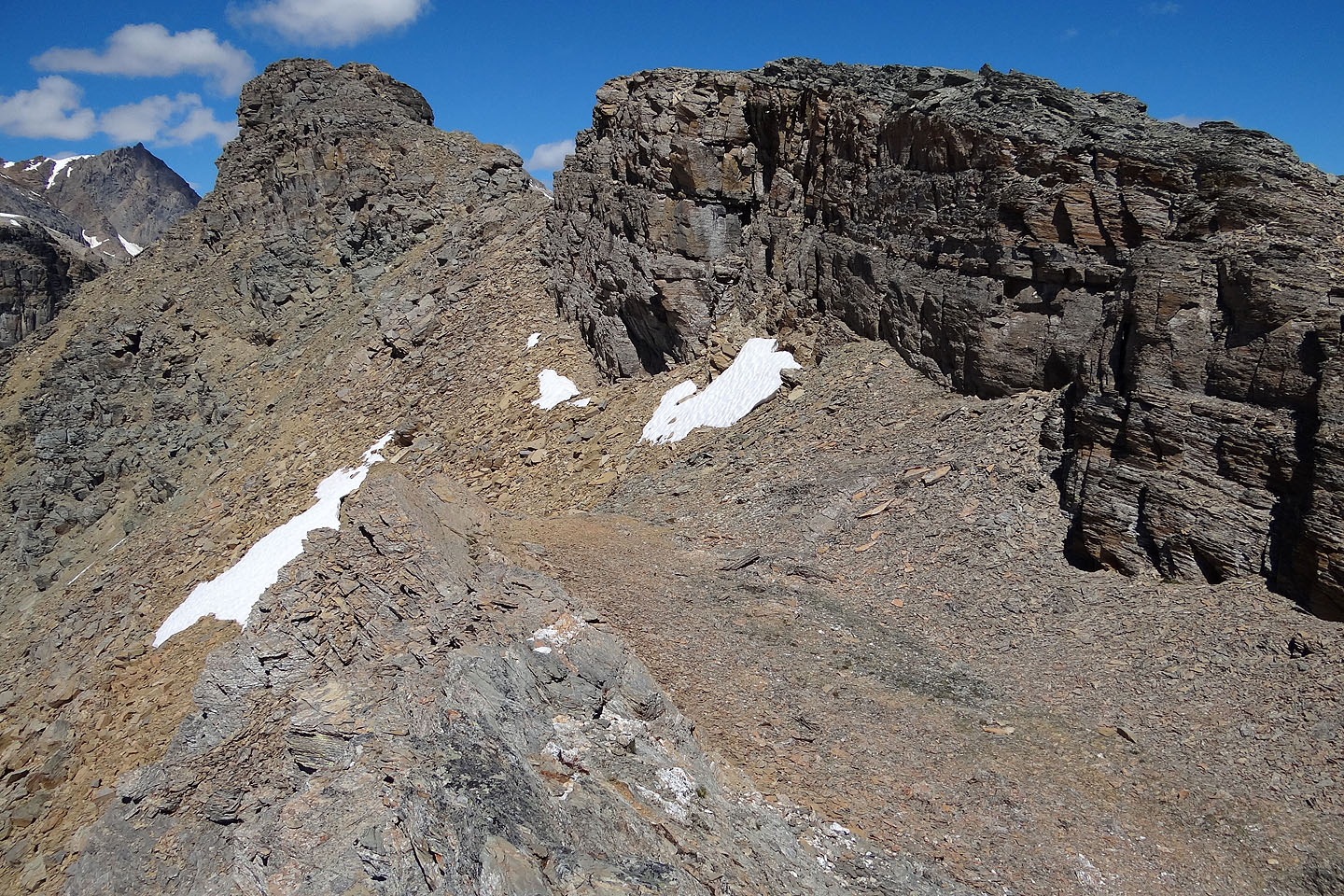
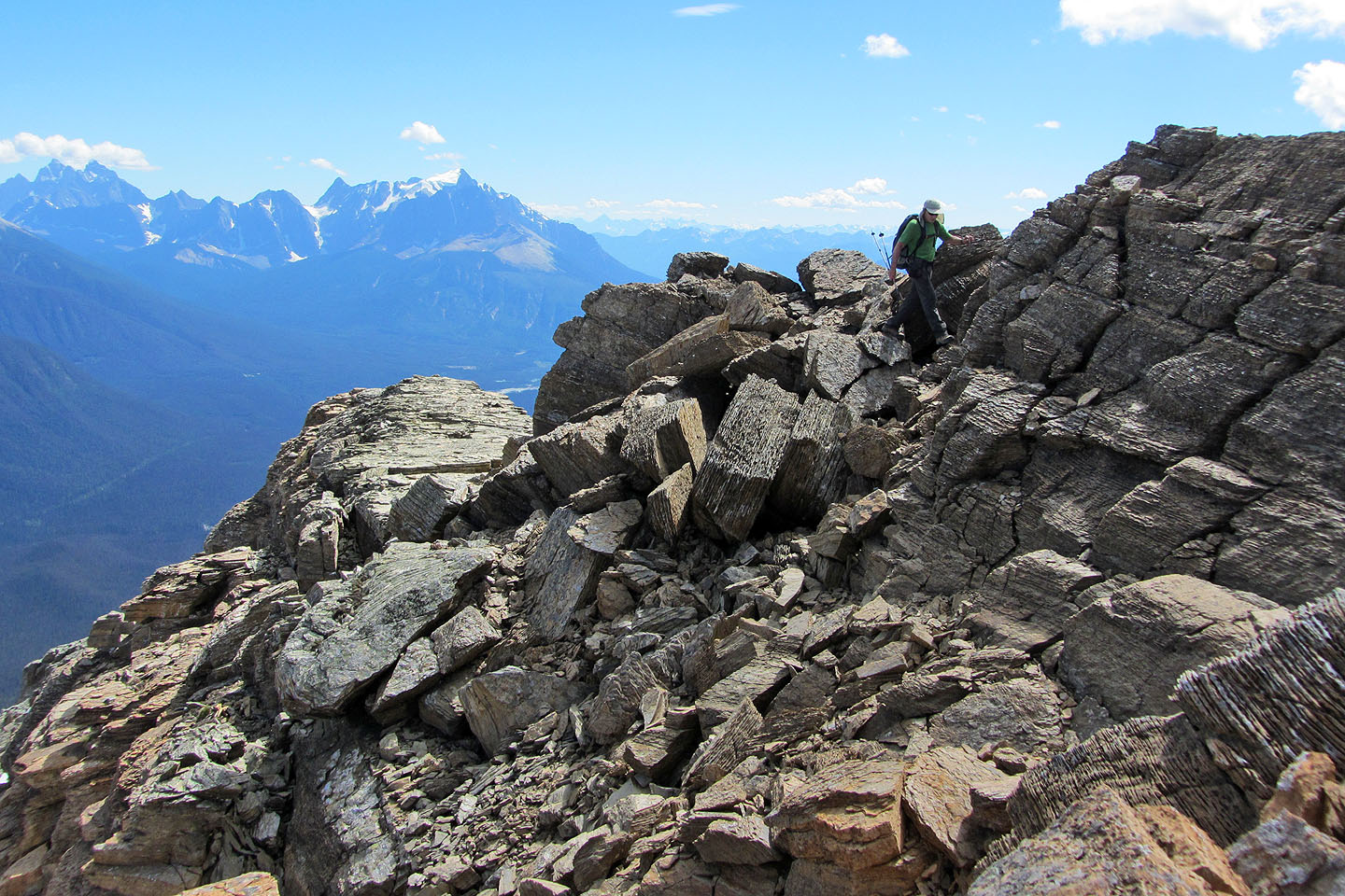
Heading to the notch. Behind us, the false summit is on the right.
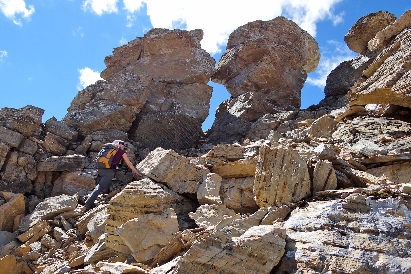
Passing some pinnacles
Looking back after passing the pinnacles
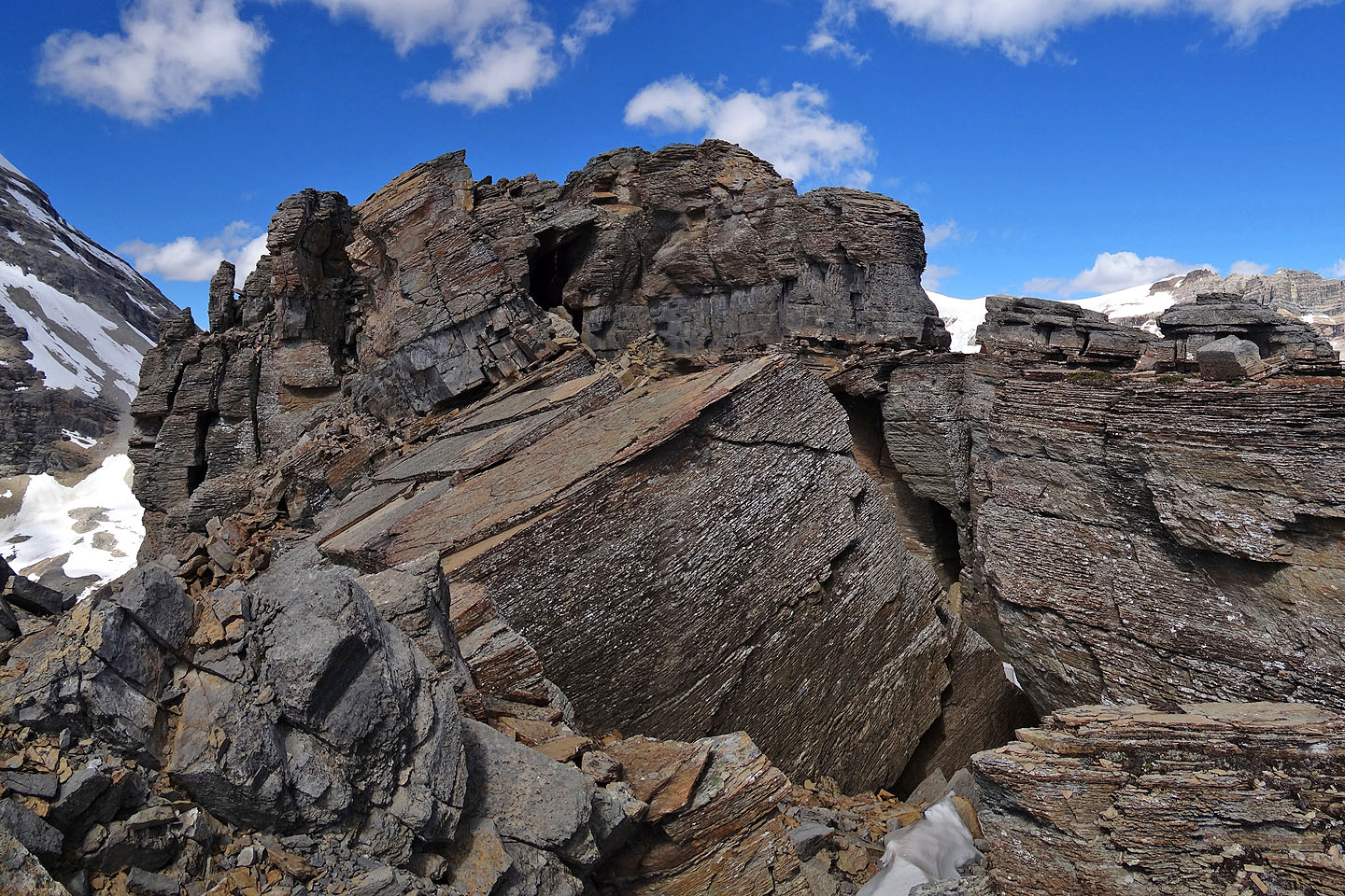
I thought we were blocked, but after dropping down into a chasm on the right we found a tunnel.
Dinah descends into the chasm
Looking back from under the tunnel. Dinah is in the centre.
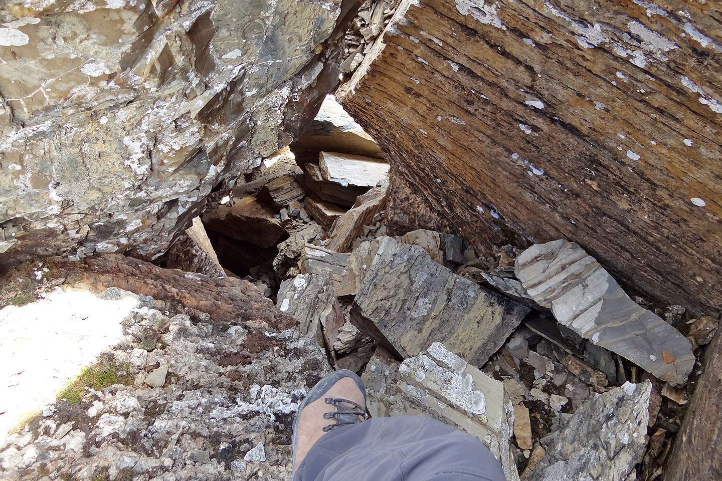
Looking down the tunnel we climbed up
We came out on a flat rock fragmented by a metres-deep fissure that required jumping across. You can't see it
here, but the tunnel exit is just a few metres behind me.
From the flat rock we saw the summit for the first time
It's an easy scramble to the summit (note the flat rock behind)
Last steps to the top of Emerald Peak
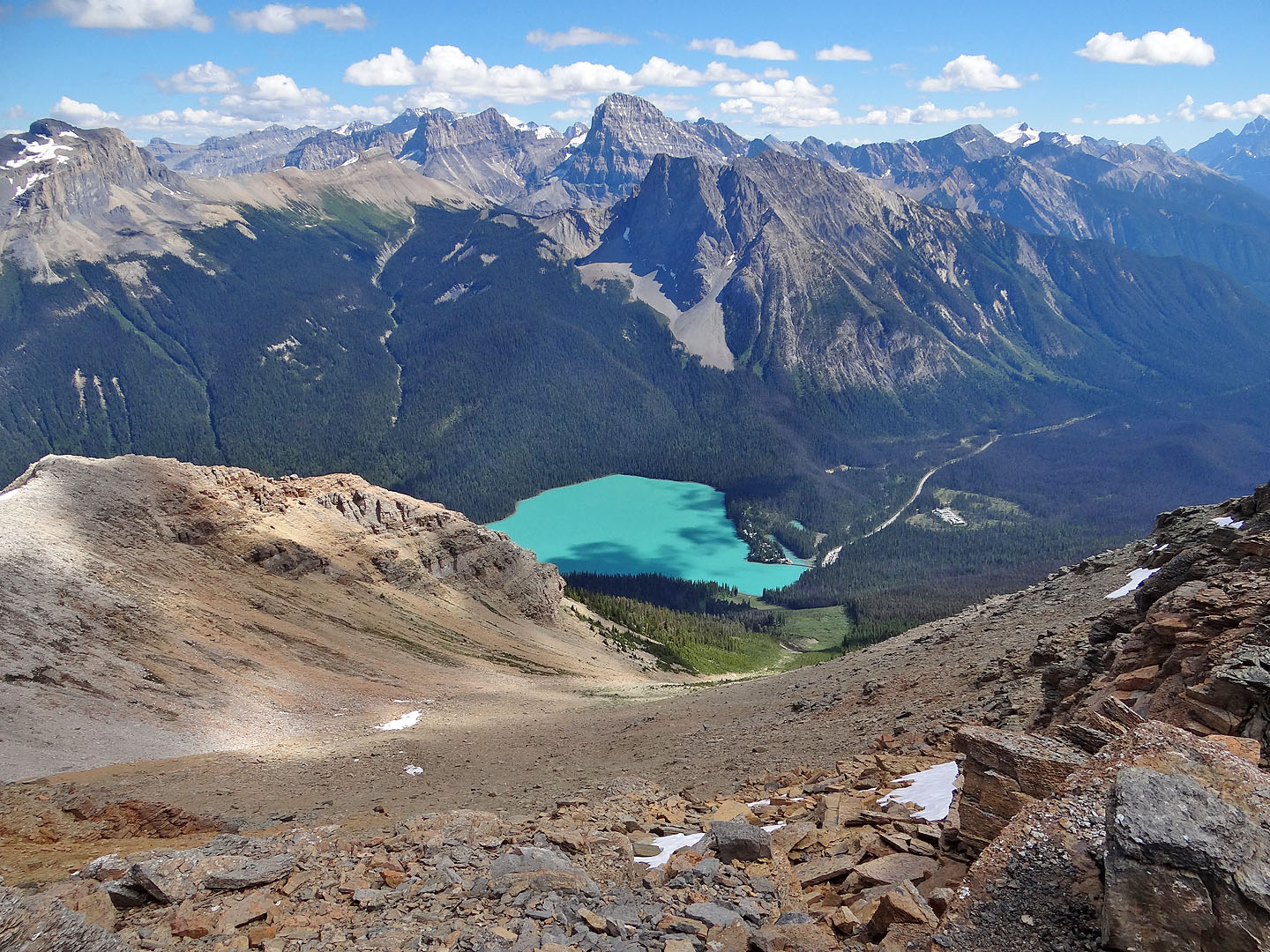
Looking down our descent route

Looking back: summit bump is in the centre
The scree gives way to low-lying vegetation in the avalanche slope
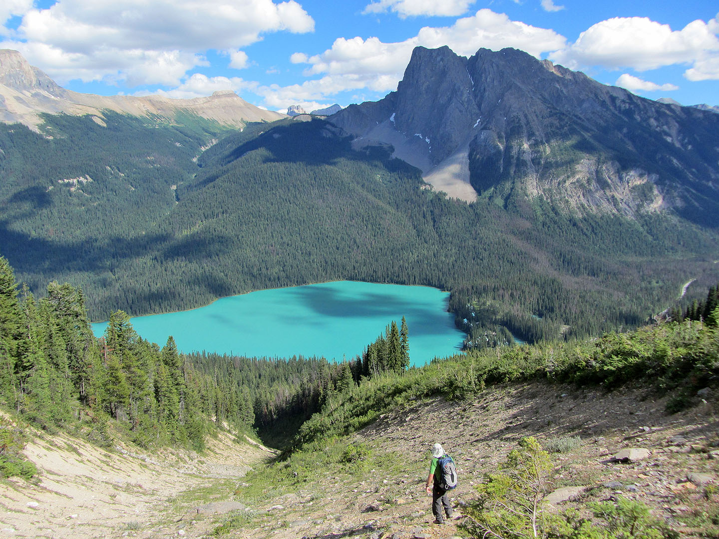
The avalanche slope continues on our right but the gully on our left looked more attractive
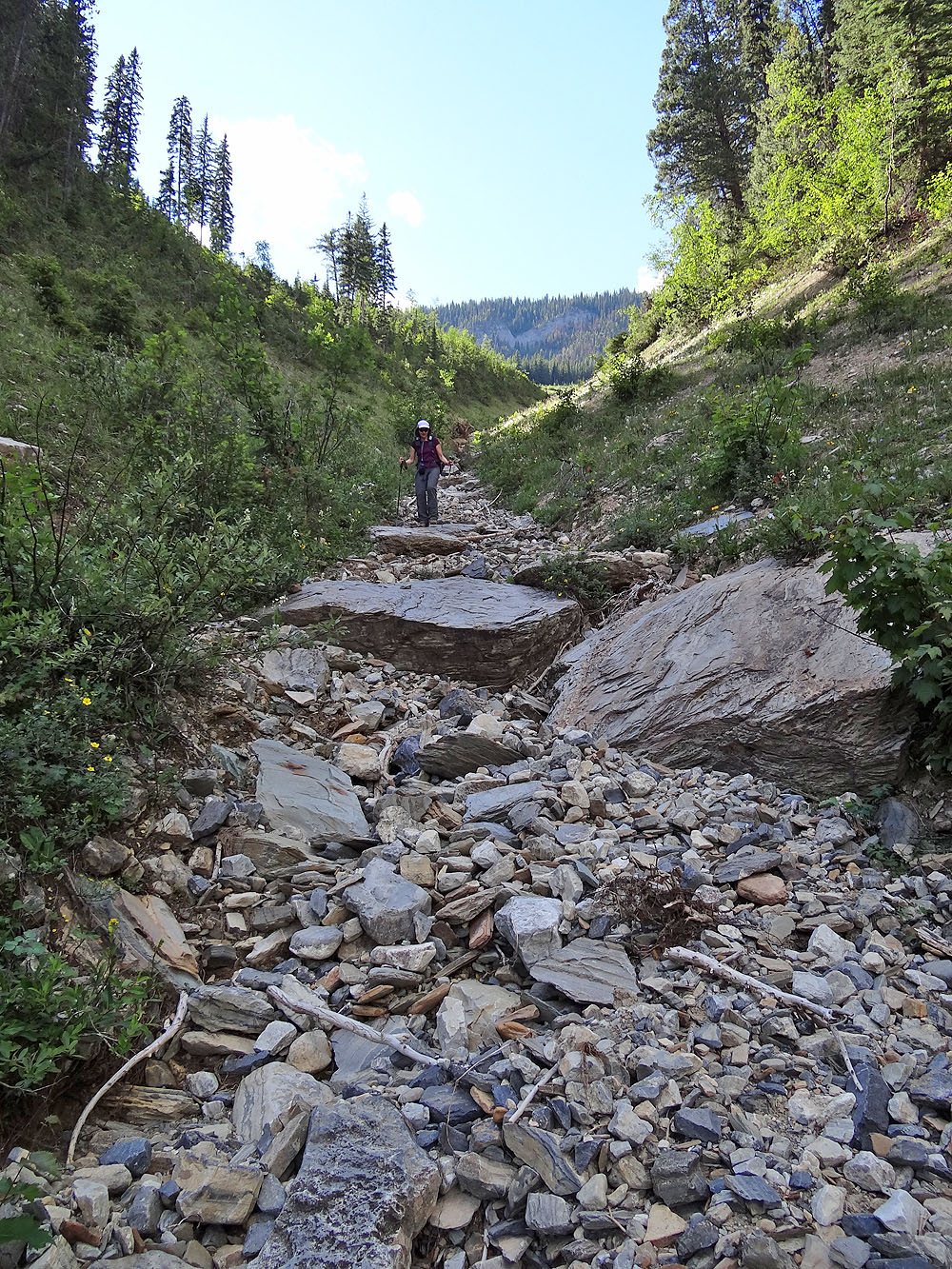
The drainage funnels into a creekbed full of ankle-twisting loose rock
Finally we reached firm ground. We're not far from the Emerald Lake Trail (mouse over).
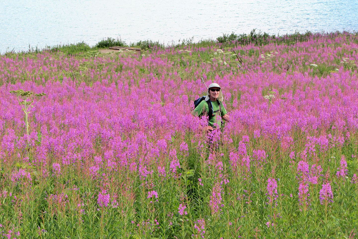
Wading through fireweed
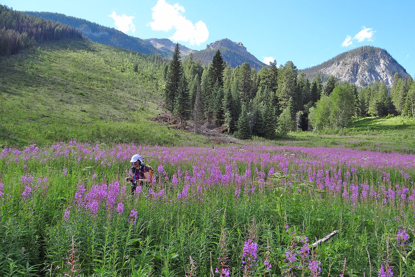
Believe it or not, we are on a trail. Our route came from the meadow on the right.
82 N/7 Golden